


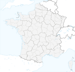


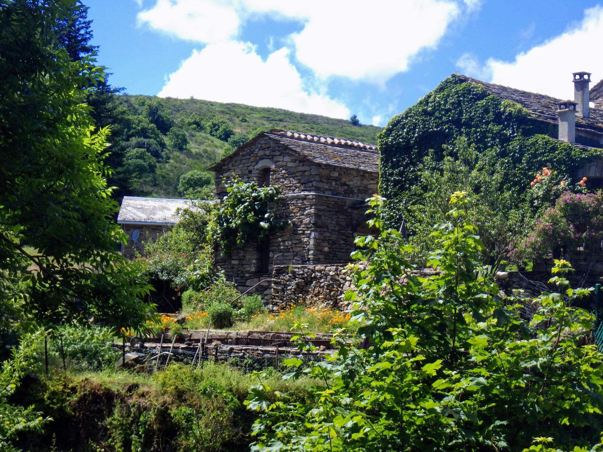
VIALAIS HIKE
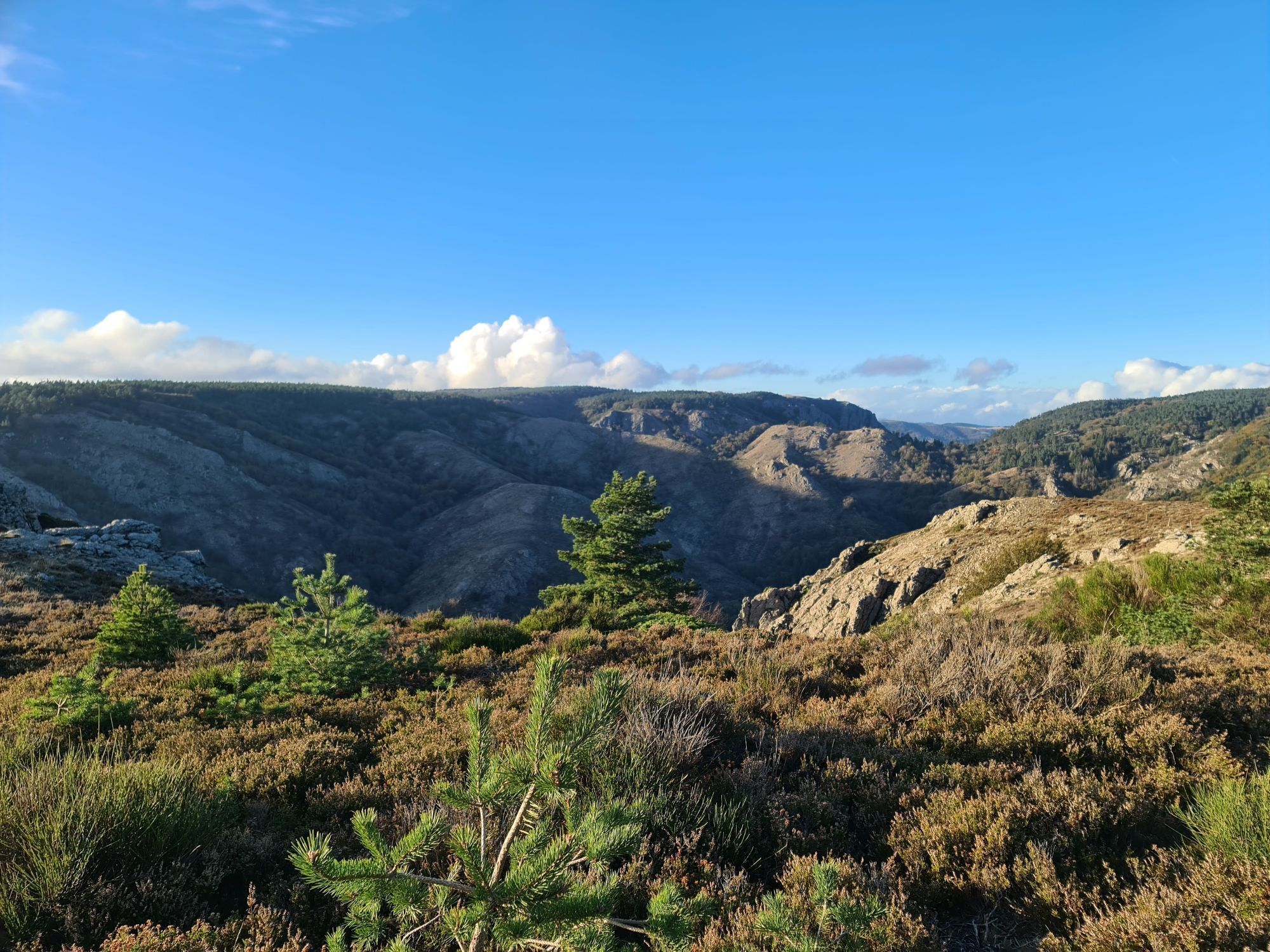
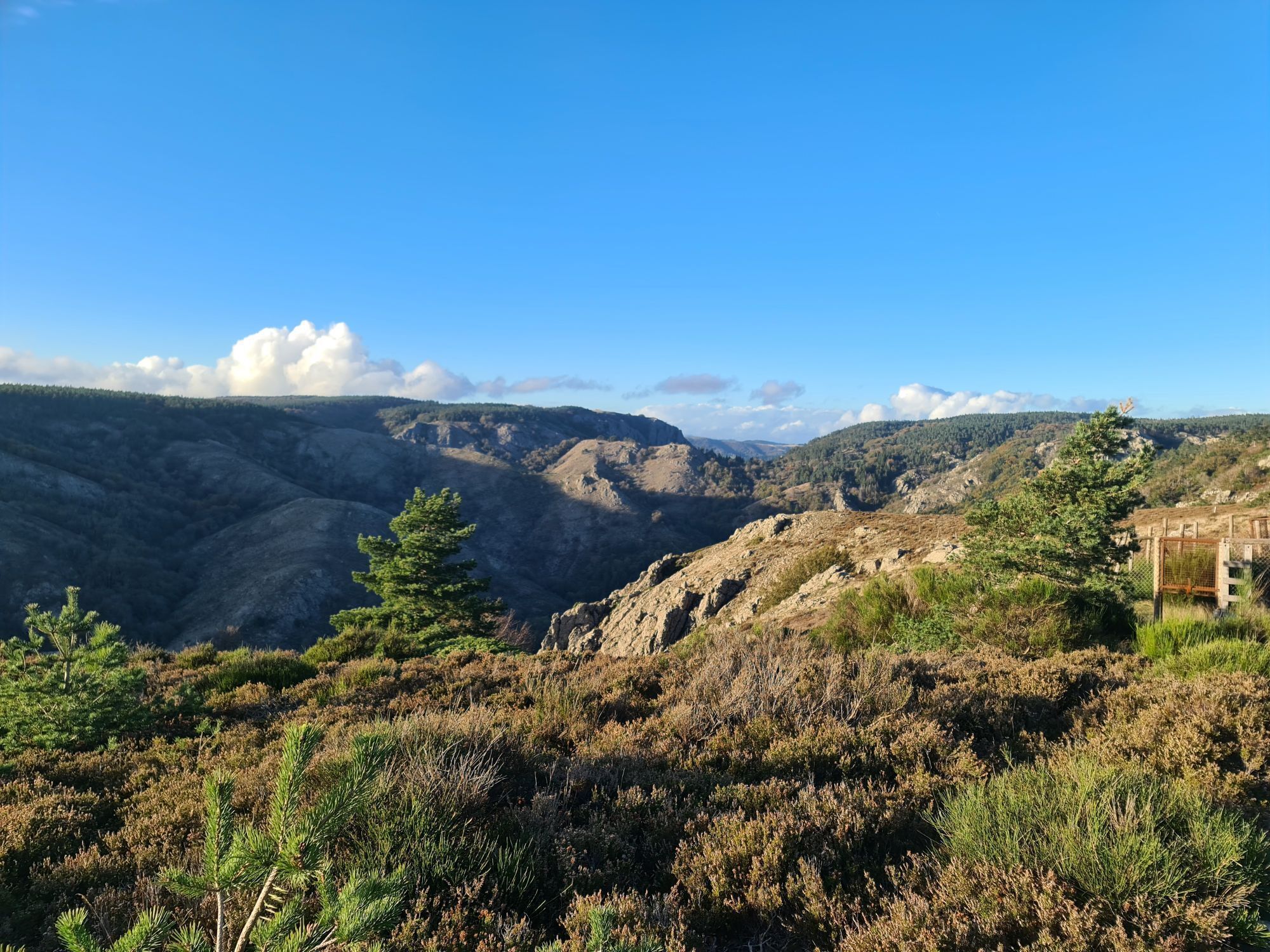
In the kingdom of the mouflons, pass from chestnut trees to beeches and heathland, from the hamlet of Héric nestled at the foot of the roc du Caroux, to the heights of the Aret mountain.


1
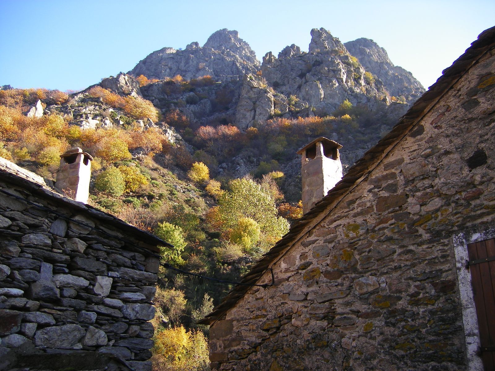
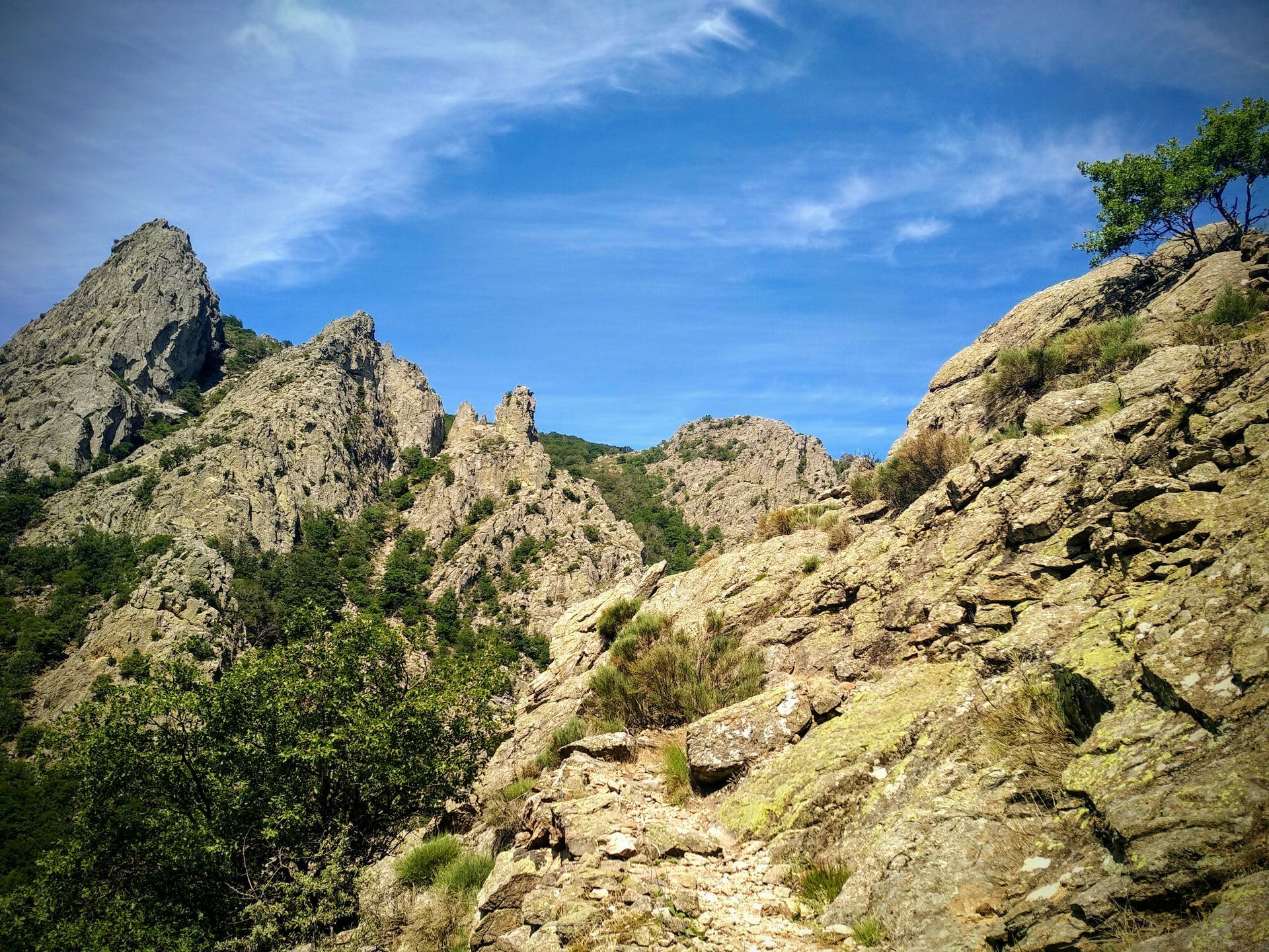
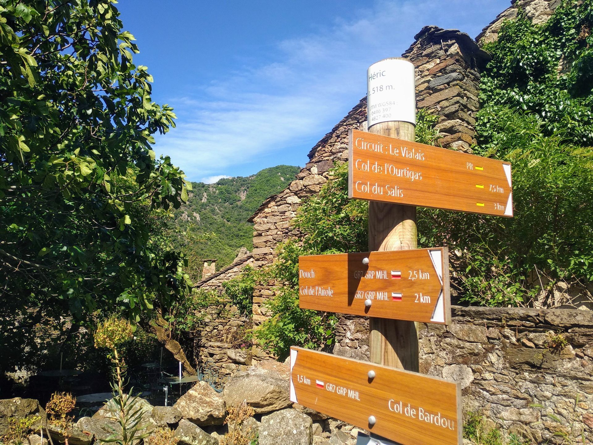
From the parking lot, take the road on the left towards Douch until the square bordering the hamlet. Go up to the left by an old paved path between ash trees for 50 m. Ignore on the left a route coming from the summit of Caroux and head straight on the path until the col de l’Airole.
2
Short variant (11.5 km; 3 h 30): head right and, further on in the broom bushes, descend to a crossroads. Ignore the path straight ahead, follow the stony trail and cross a stream. Descend, join the main route and turn right (dashes on the map). 2. Continue forward, the path descends in switchbacks through chestnut trees. At the bottom, cross a stream on a bridge and enter the hamlet of Héric.
3
At the crossroads, go up to the right on a paved path between dry stone walls. After a steep climb, reach a small col (view to the left on the Fourcat d’Héric). The route then alternates climbs and flat sections. Join a fork at the col du Salis.
4
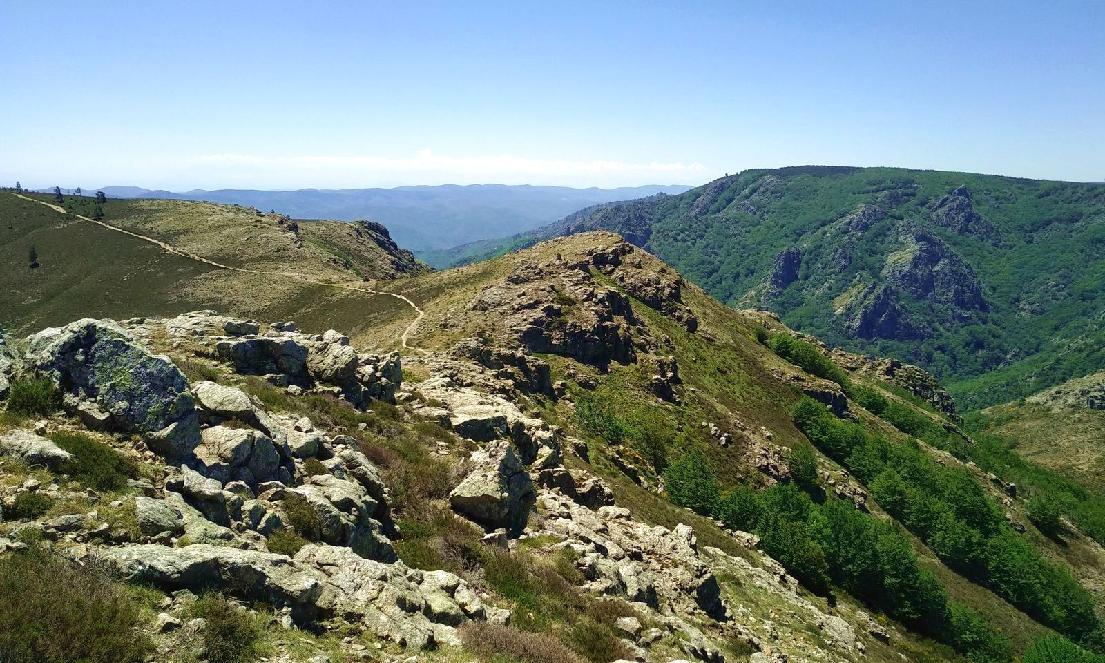
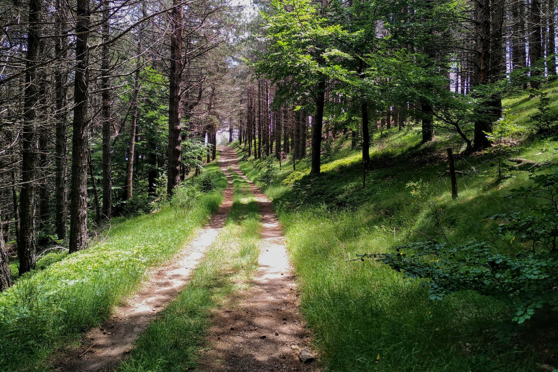
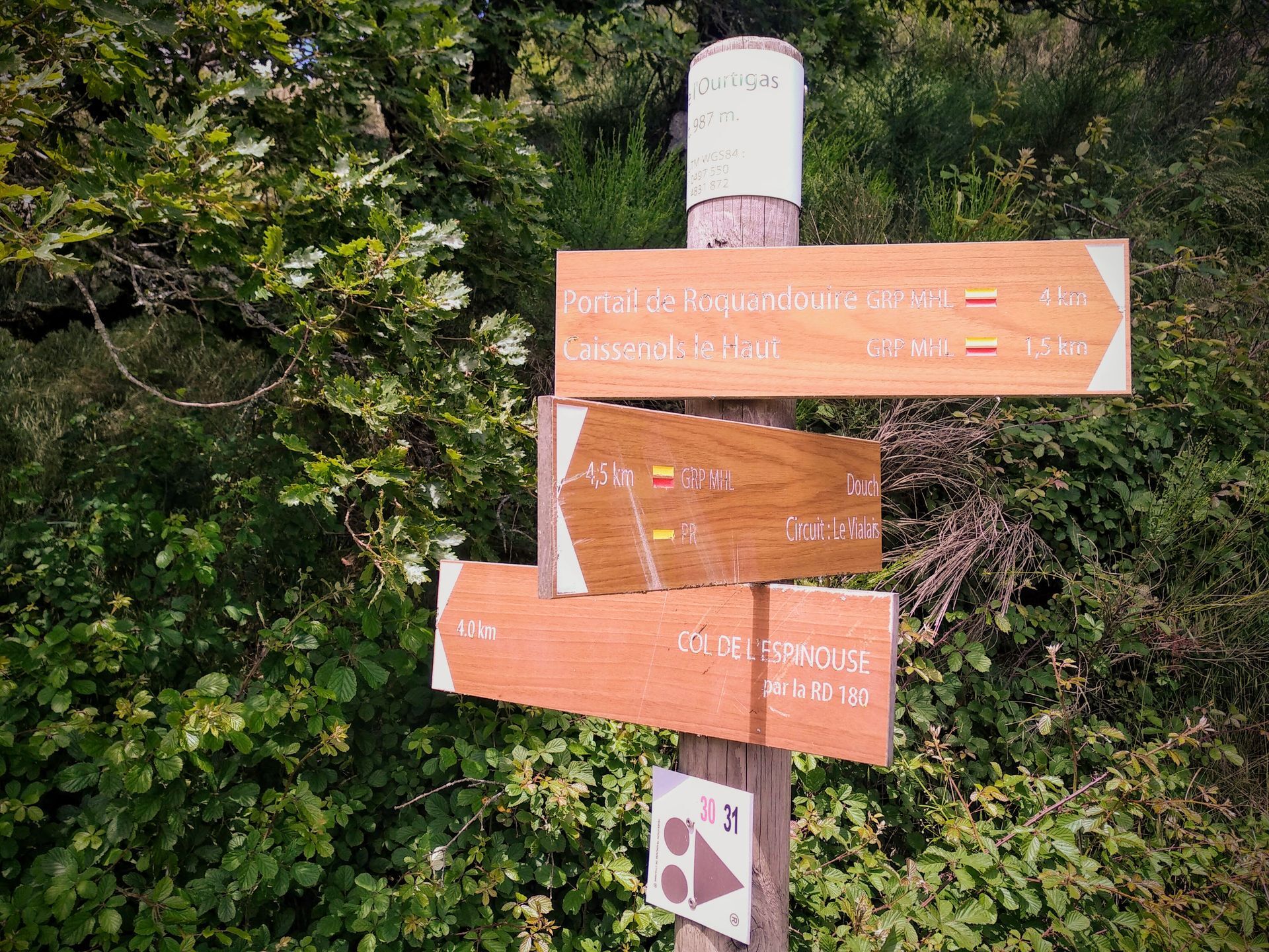
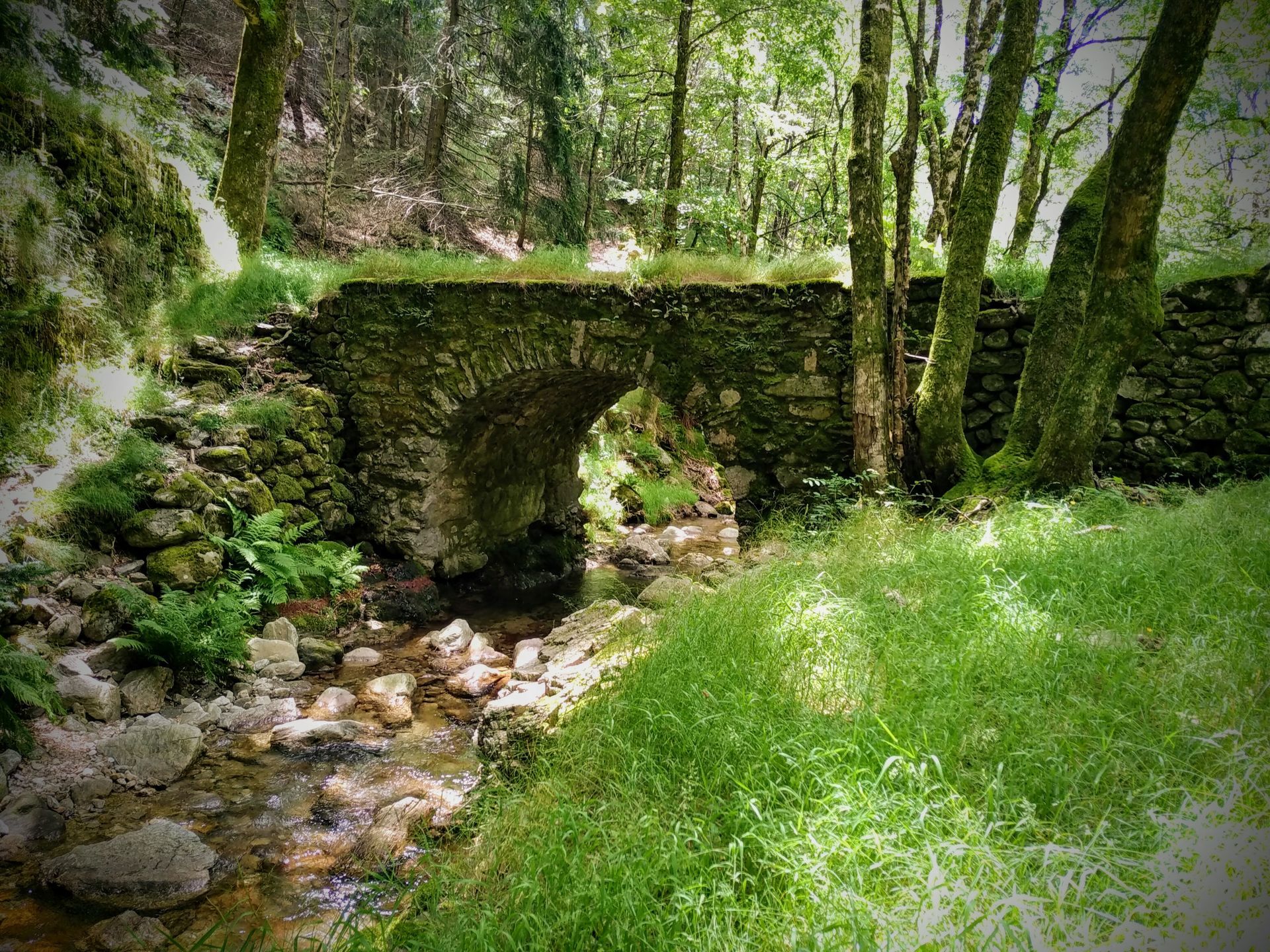
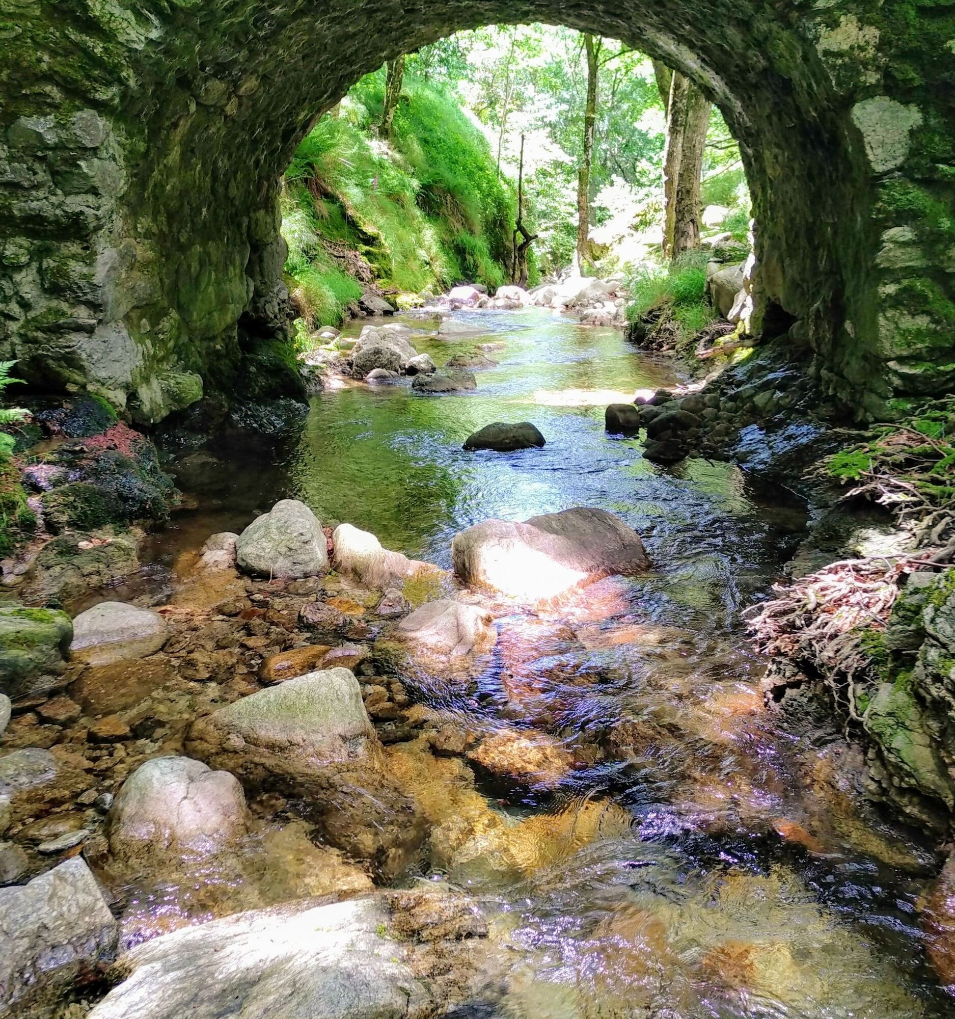
Continue forward, rise towards a new col (arch of Roc Traucat). Descend into the undergrowth, cross several small ravines and reach the Vialais bridge. Climb right into the forest and, 100 m further, at a bend, head left ignoring the path straight ahead. Climb to the col de l’Ourtigas.
5
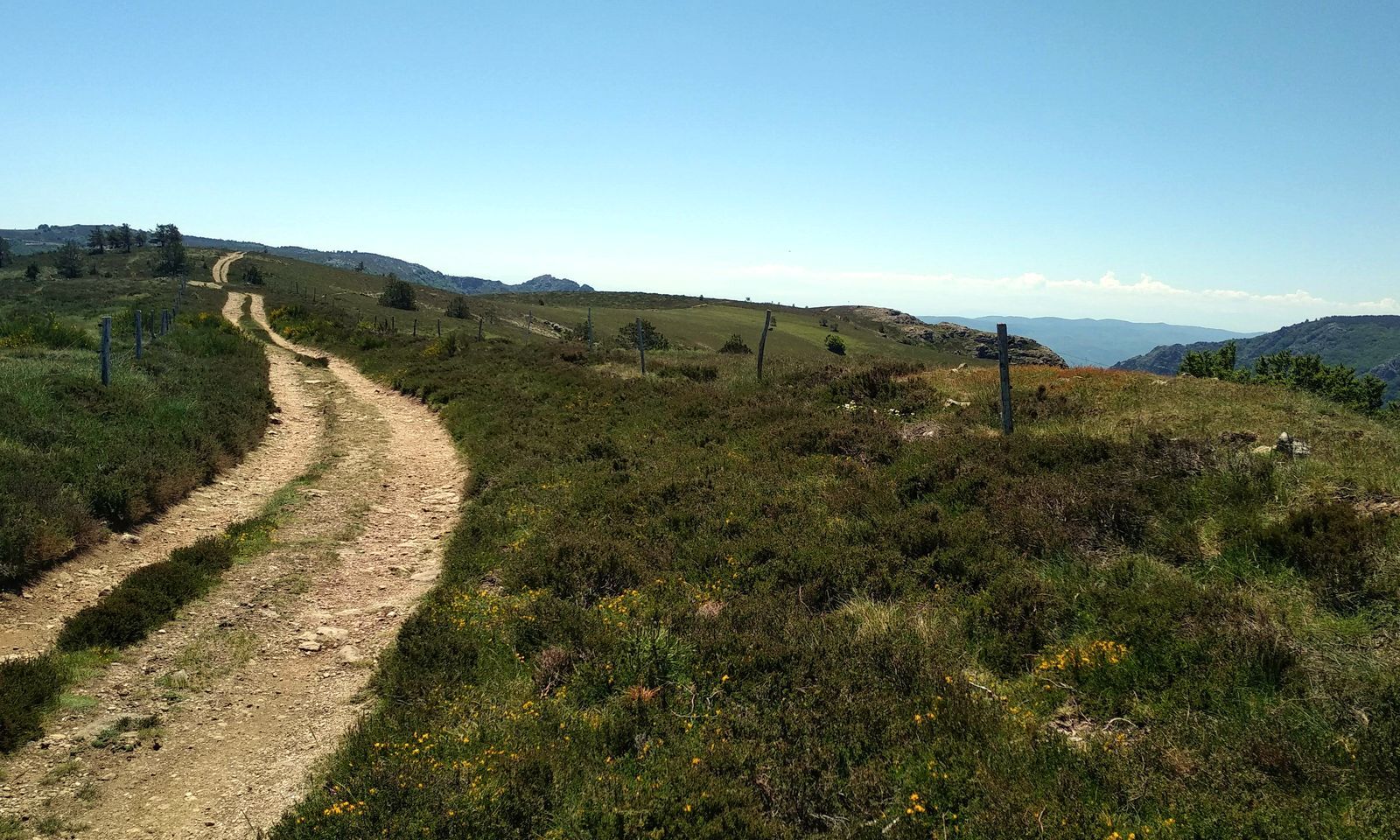
Reach the D 180, go right for a few meters, then go up right on a cemented track. Exit the forest and turn right. At the end of the climb, head left and follow the ridges of the Aret mountain above the Vialais. Stay on the main track ignoring paths leaving to the right.
6
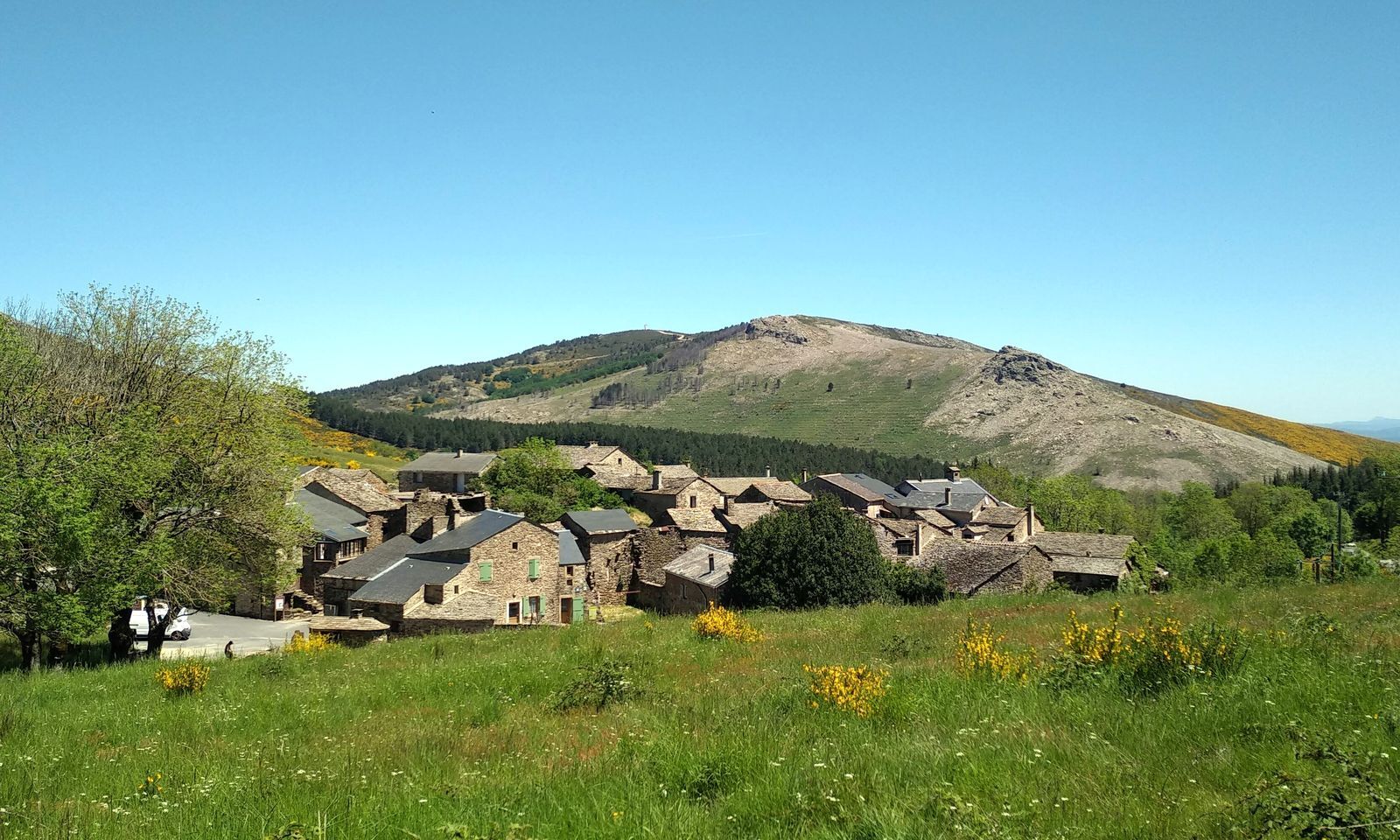
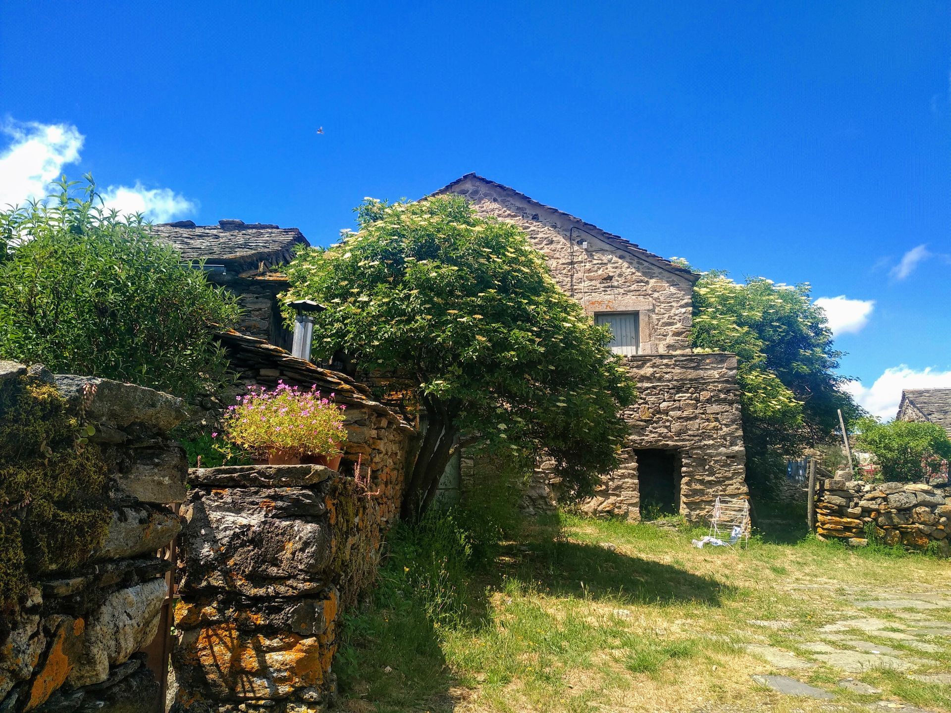
At the col du Tirondel, climb and turn left on a path. Reach ruined sheepfold, descend to Douch. Turn right, join the square of the hamlet, then by road, return to the starting point.
In case of emergency, call 112.
Yellow PR
+33 4 67 67 76 36
DEPARTMENTAL COUNCIL OF HÉRAULT SPORTS AND NATURE MANAGEMENT
PR - FFR
Priljubljeni izleti v okolici
- 4,0
GORGES DE COLOMBIERES HIKE
srednjaPohodništvo 12,0 km - 5,0
HIKING OF THE HÉRIC GORGES VIA THE ORIENTATION TABLE
srednjaPohodništvo 16,3 km - 5,0
HIKING OF THE L'ESPAZE ARBORETUM
srednjaPohodništvo 12,3 km - 4,0
CAROUX SUMMIT HIKE
srednjaPohodništvo 7,94 km - 5,0
HIKING ROUTE OF THE TERRASSES DE L'ESPINOUSE
srednjaPohodništvo 16,8 km - 5,0
OENORANDO® THE VALLEY OF AROMAS
srednjaPohodništvo 13,7 km - 3,0
CYCLE LOOP No. 29 - FROM THE VALLEYS TO THE PEAKS OF HAUT-LANGUEDOC
srednjaKolesarjenje 64,3 km HIKE OF SAINT MICHEL DE MOURCAIROL
srednjaPohodništvo 11,7 kmHERIC GORGES ROAD - MONS LA TRIVALLE
srednjaPohodništvo 9,38 kmHIKING OF THE ROQUANDOUIRE GATEWAY
srednjaPohodništvo 10,5 km
Pohodništvo in sledenje


Ne zamudite ponudb in navdiha za naslednje počitnice
Vaš e-poštni naslov je bil dodan na poštni seznam.