


HIKE FROM L'ARNEDE TO CARAVETTE
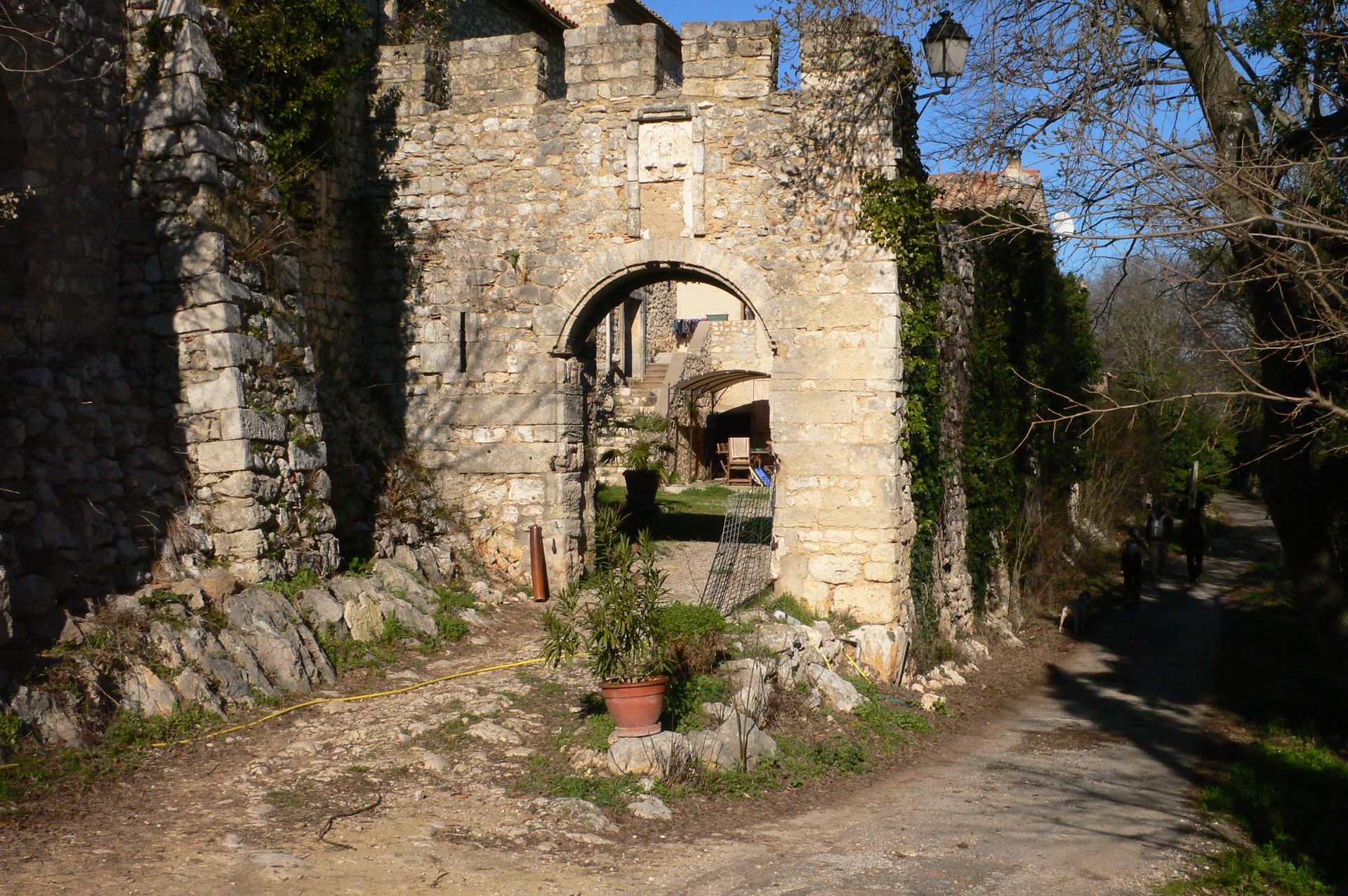
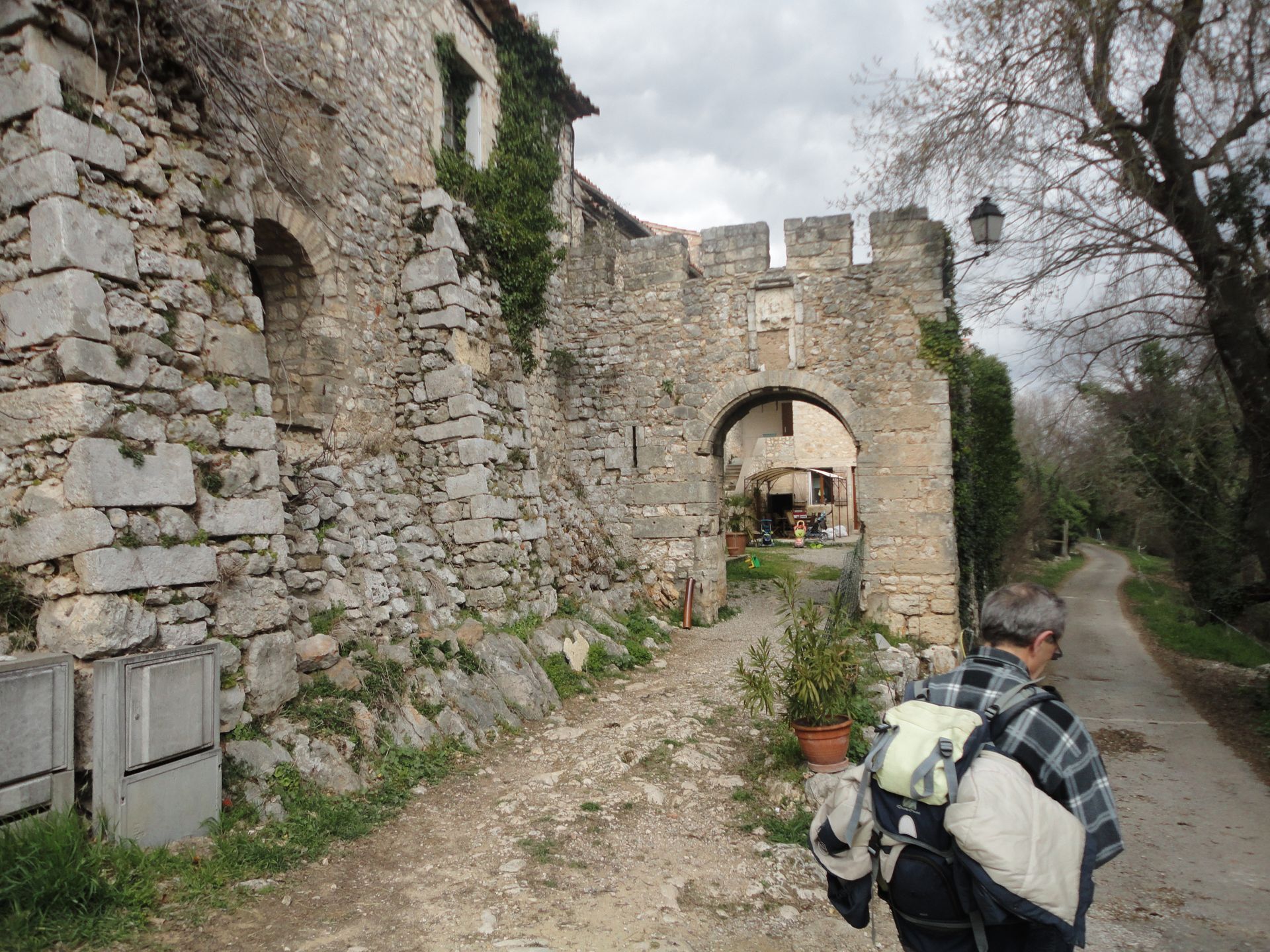
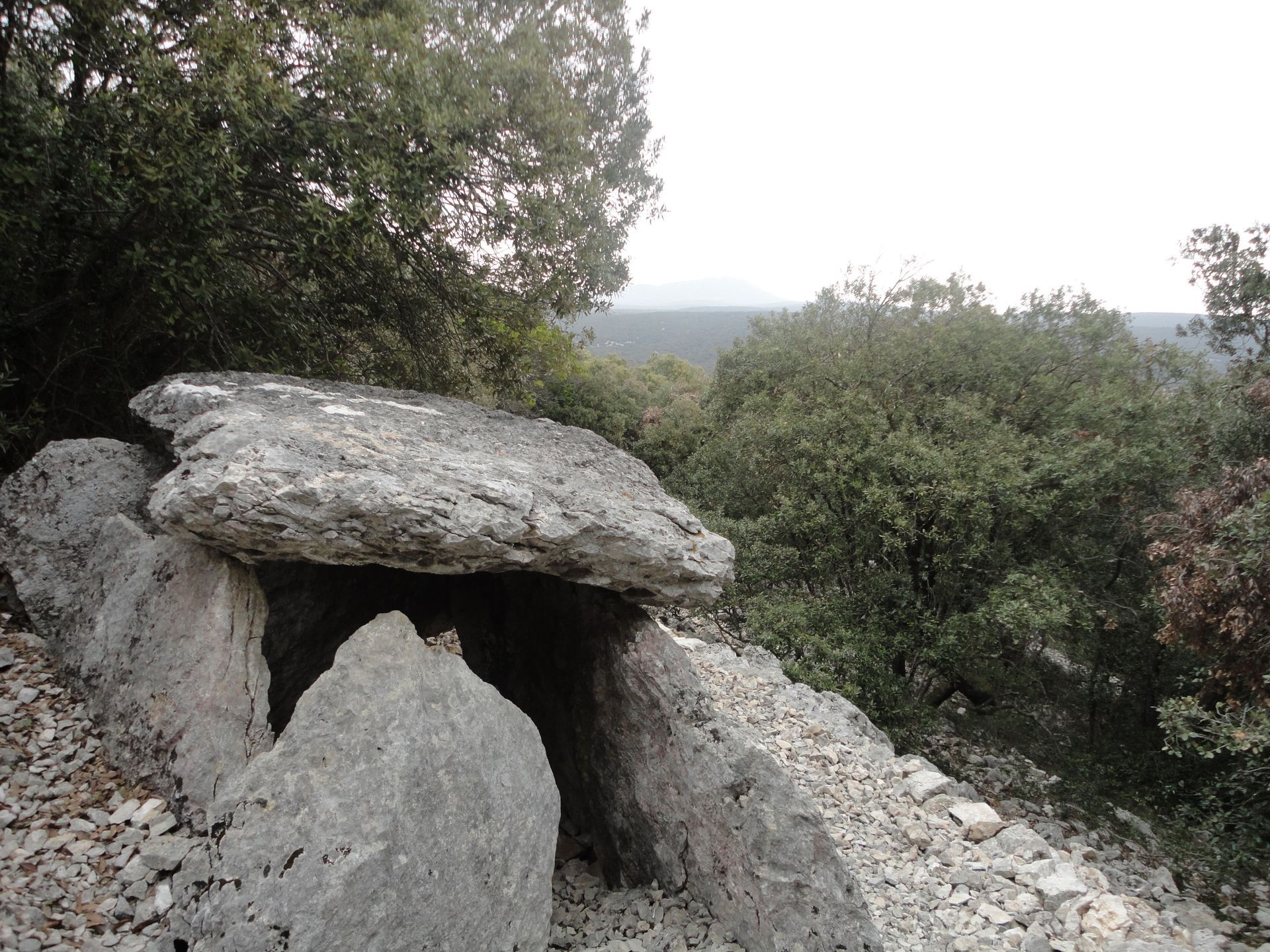
Located in a setting of evergreen oaks, this circuit combines medieval heritage, with the village of Murles, and archaeological riches, discovering dolmens.


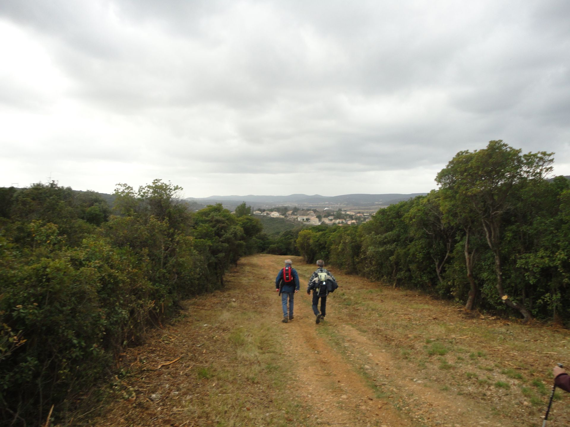
1
From the parking lot, take the ramp straight ahead, turn left twice and go down towards the town hall. After a few meters on the right, go down the Bergerie path, then the street on the left and the road on the right.
2
Before the church, follow the path on the right for 900 m. Leave a path on the right and one on the left. Reach a saddle.
3
>Short variant: (8 km; 3 h): climb the path on the right, turn left and arrive in the hollow to rejoin the main route at point 7. > Main route: Take the ridge track to the left (panorama). After the antenna, it goes down. Turn right, walk a few meters along the road, then continue right along the vineyard and climb left through the undergrowth. Enter the clear area on the right, then climb the path in the hollow on the right.
4
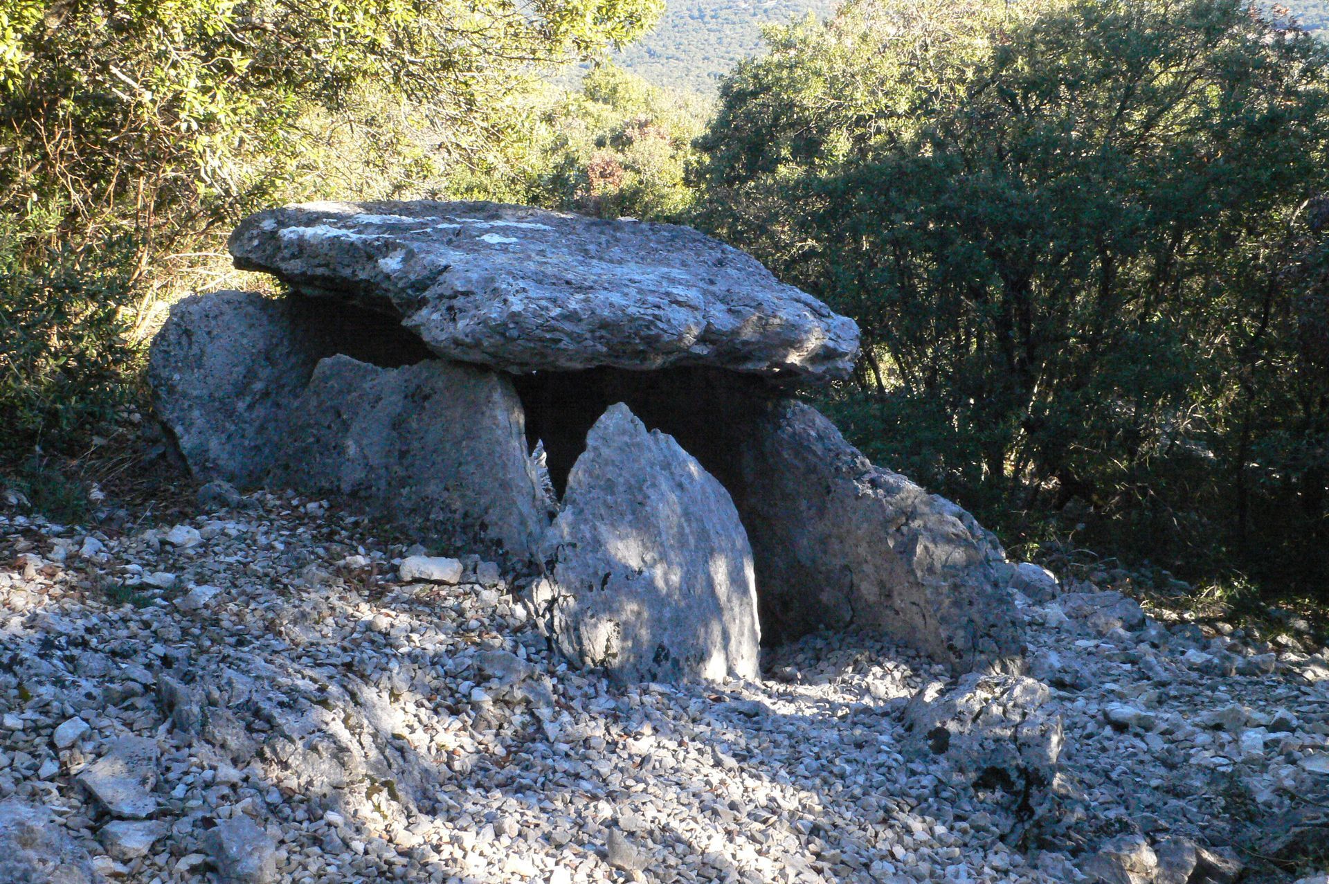
Cross the D 127E6 (caution) and climb the rocky path opposite (steep ascent). Ignore the path on the left, continue ascending (dolmen). Reach the plateau via the path bordered by cairns (dolmen). Take the path to the right, leave the path on the right, and take the track on the right. Pass the water tank.
5
Leave the track and take the path to the right. After the right turn, go left on the path through the undergrowth. Cross the wall, descend left on the firebreak (panorama), veer right, ignore a path starting on the left, and descend the hollow (caution). Take the D 127E6 to the left for 300 m (caution).
6
At the bend, go right, ignore two paths on the right and, after 100 m, take the path on the right. At the pass, descend left on the scree and travel the hollow on the right for 400 m.
7
Turn left, climb the rocky path, and at the platform, take the path to the right for 500 m. Go left into the clapas. Follow the D 127 to the right for 150 m.
8
Pass the gate on the left and stay right on the main track. At the fork, turn right. Leave a path on the left. Veer right, join the firebreak, descend right, and follow D 127 to the left. On the right, return to the parking lot.
Be vigilant with orientation at points 3 and 7 (start and end of the short variant, multiple markings): rely on directional signage and the description.
Do not undertake the circuit after heavy rains.
Steep climb between points 4 and 5 and descent through a scree before point 7.
Be cautious when crossing roads.
Yellow PR
https://www.grandpicsaintloup-tourisme.fr
Grand Pic Saint-Loup Tourist Office
PDESI
Priljubljeni izleti v okolici
- 5,0
DRAILLES HIKE
svetlobaPohodništvo 7,16 km - 4,0
PIC SAINT LOUP HIKE
srednjaPohodništvo 2,64 km RAVIN DES ARCS HIKE
srednjaPohodništvo 3,83 kmHIKING THE OASIS OF THE GARRIGUES
srednjaPohodništvo 10,9 kmHIKE OF THE CHÂTEAU DE RESTINCLIERES
svetlobaPohodništvo 7,86 kmOENORANDO® BETWEEN GRÉS DE MONTPELLIER AND PIC SAINT-LOUP
srednjaPohodništvo 15,0 kmOENORANDO® THE DRAGON TRAIL
srednjaPohodništvo 11,7 km- 4,0
BOIS DE LÈQUE HIKE
svetlobaPohodništvo 9,34 km FROM MONTPELLIER TO SAINT-GUILHEM-LE-DÉSERT ON THE GR®653 ARLES WAY TO COMPOSTELA
srednjaPohodništvo 42,7 kmHIKING OF THE BALCONIES OF THE HERAULT
srednjaPohodništvo 17,9 km

Pohodništvo in sledenje


Ne zamudite ponudb in navdiha za naslednje počitnice
Vaš e-poštni naslov je bil dodan na poštni seznam.