





HIKING THE OASIS OF THE GARRIGUES
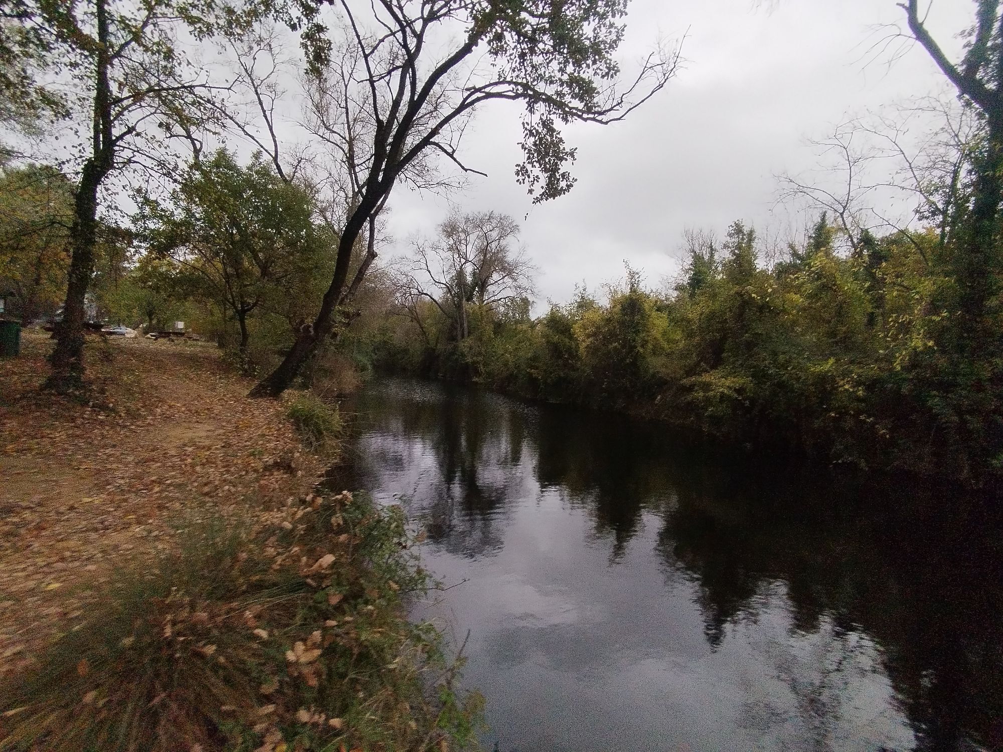
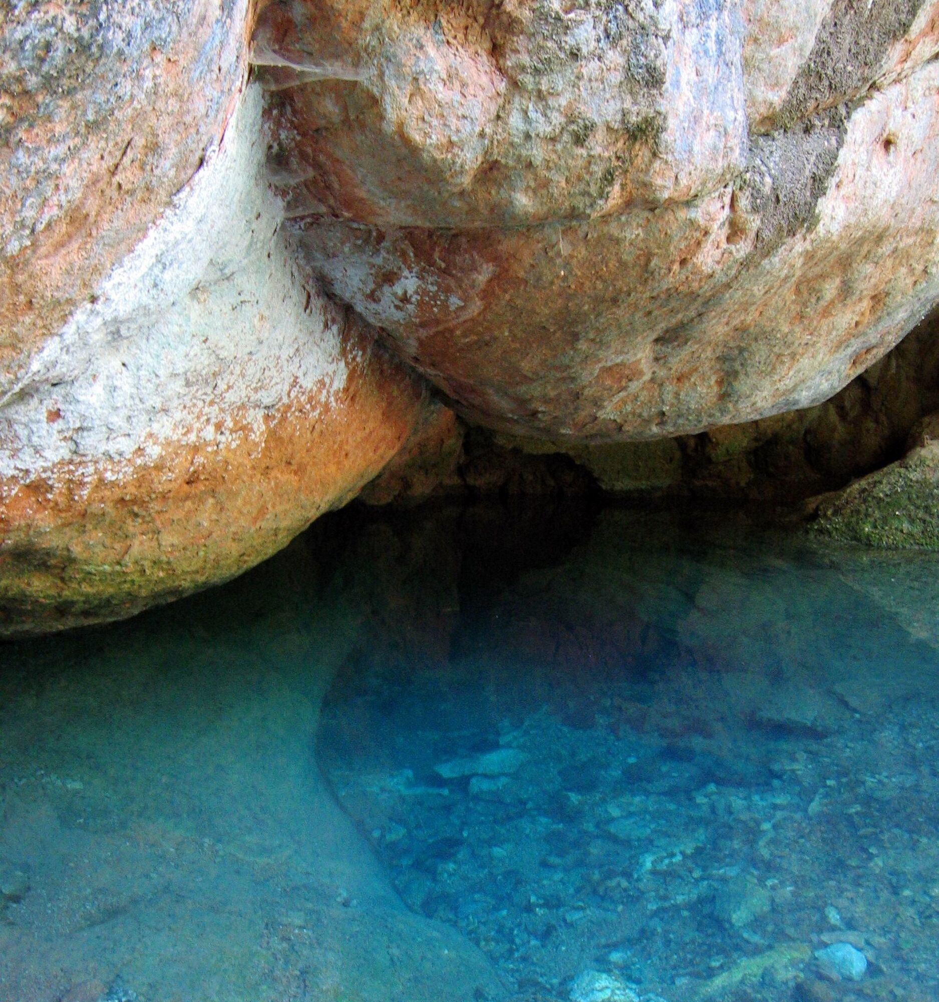
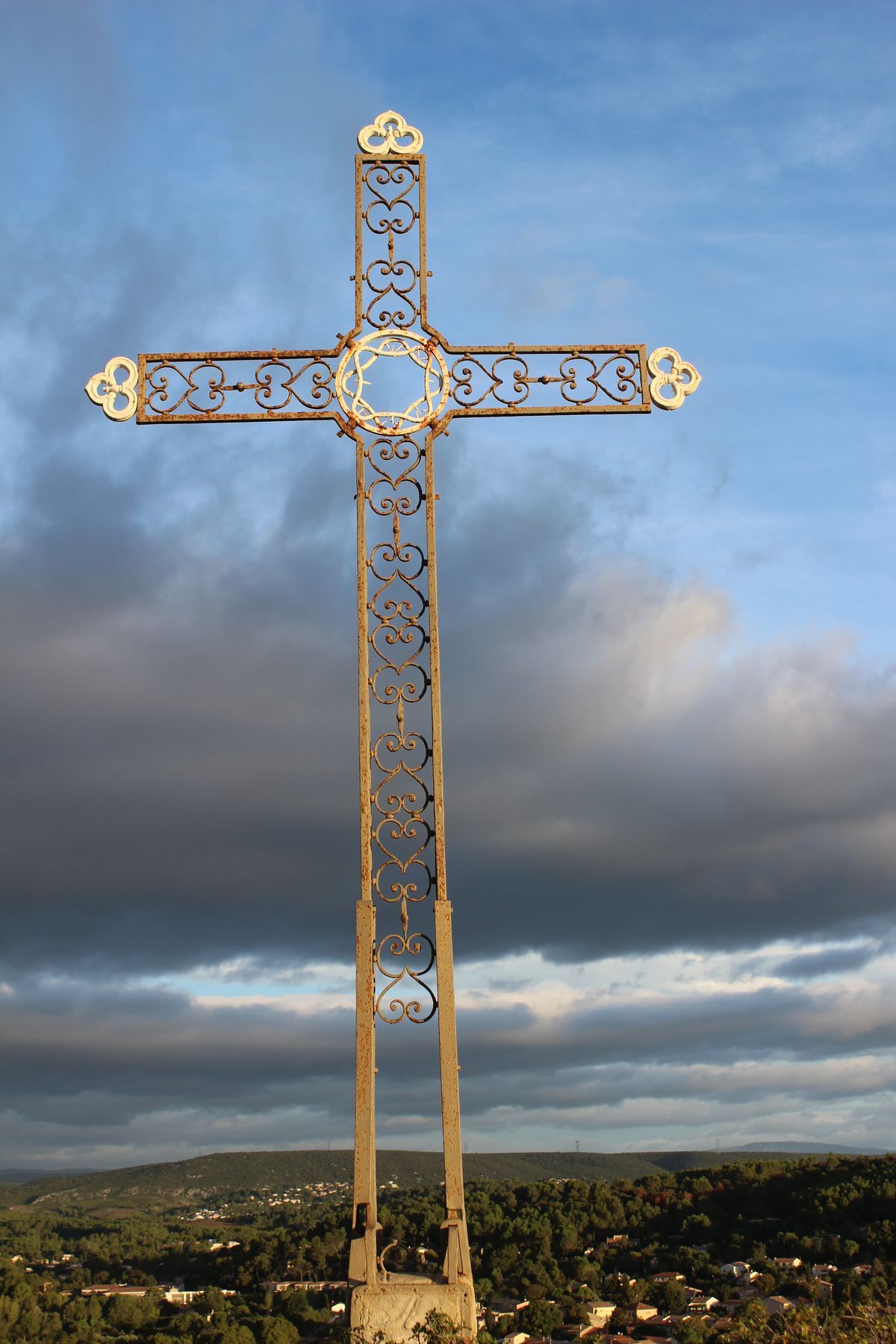
Starting from this beautiful route, you will discover, along the banks of the Mosson, the surprising source of the Avy. You will then access the panoramic viewpoint of the Guillery cross. After crossing...
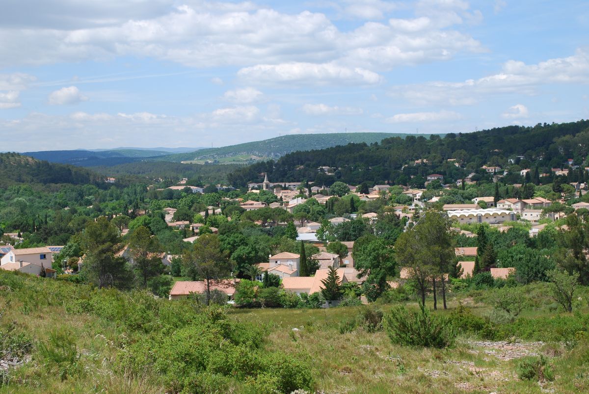
The name Grabels comes from the Languedocien « gran » (grain of wheat) and « bel » (of good size), which is why a sheaf of wheat appears on the town's coat of arms. Since Prehistory, inhabitants have gathered near the Mosson and cultivated the plain. Grabels lives securely within its ramparts still rich in vestiges.




1
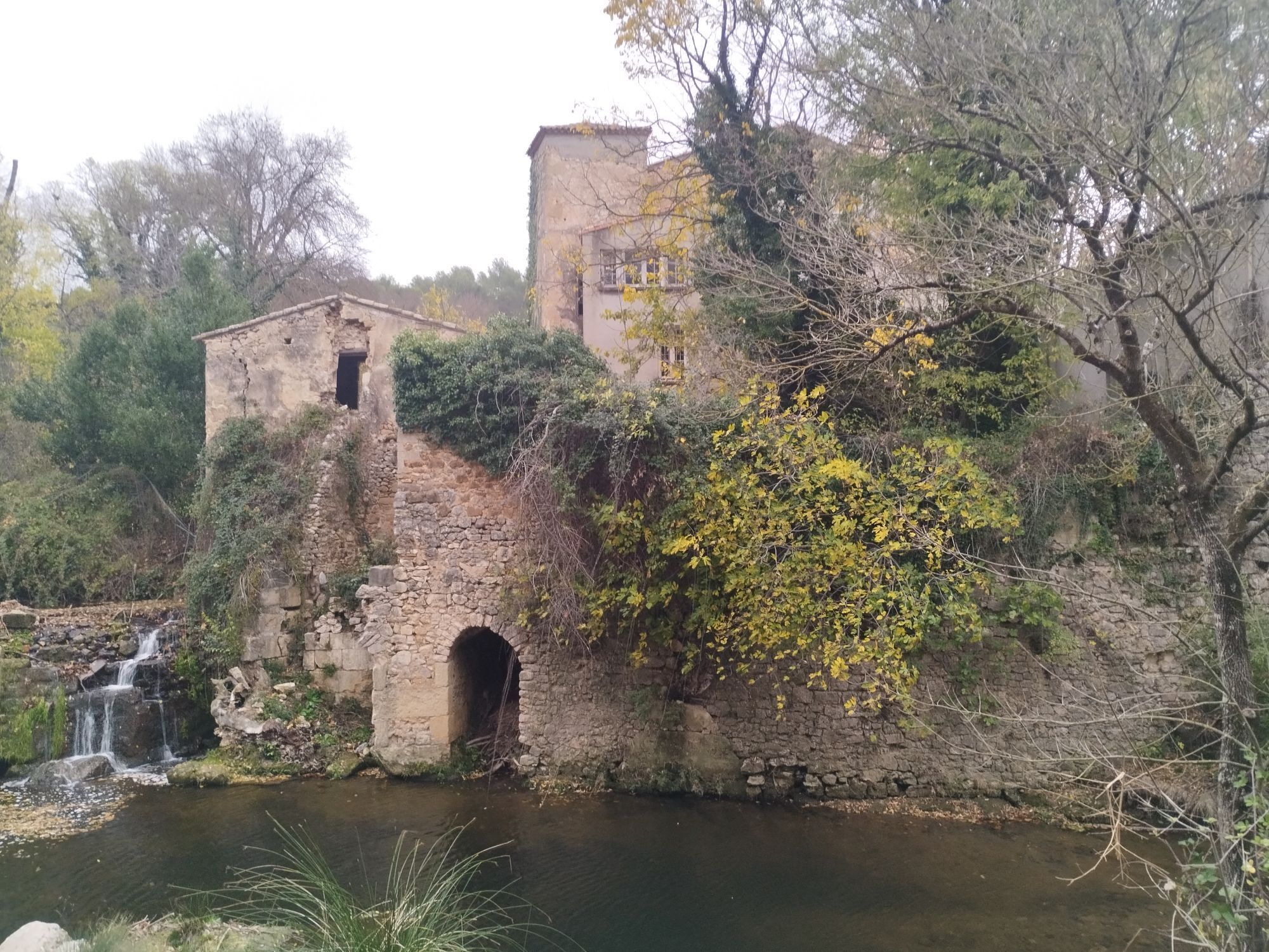
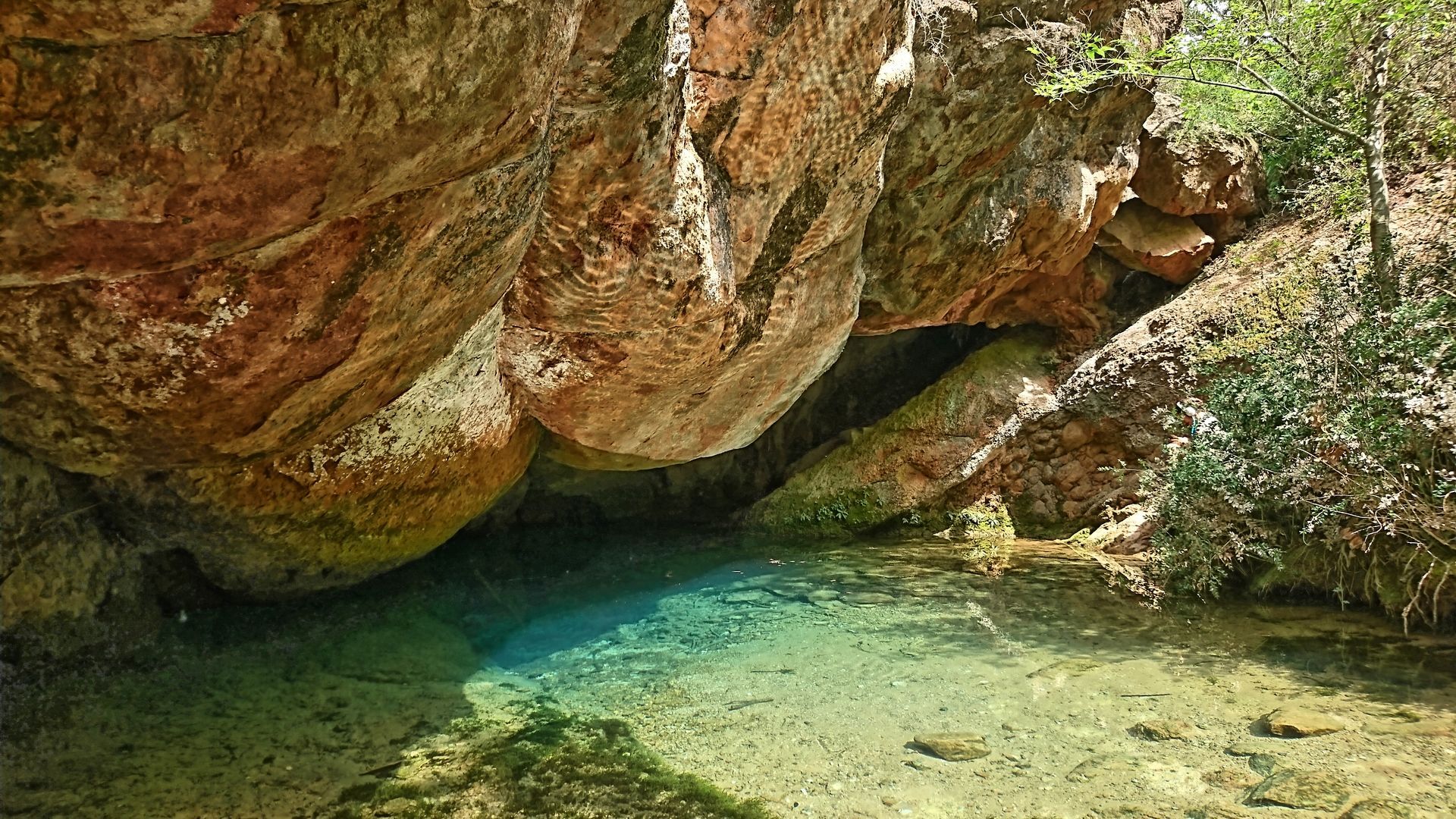
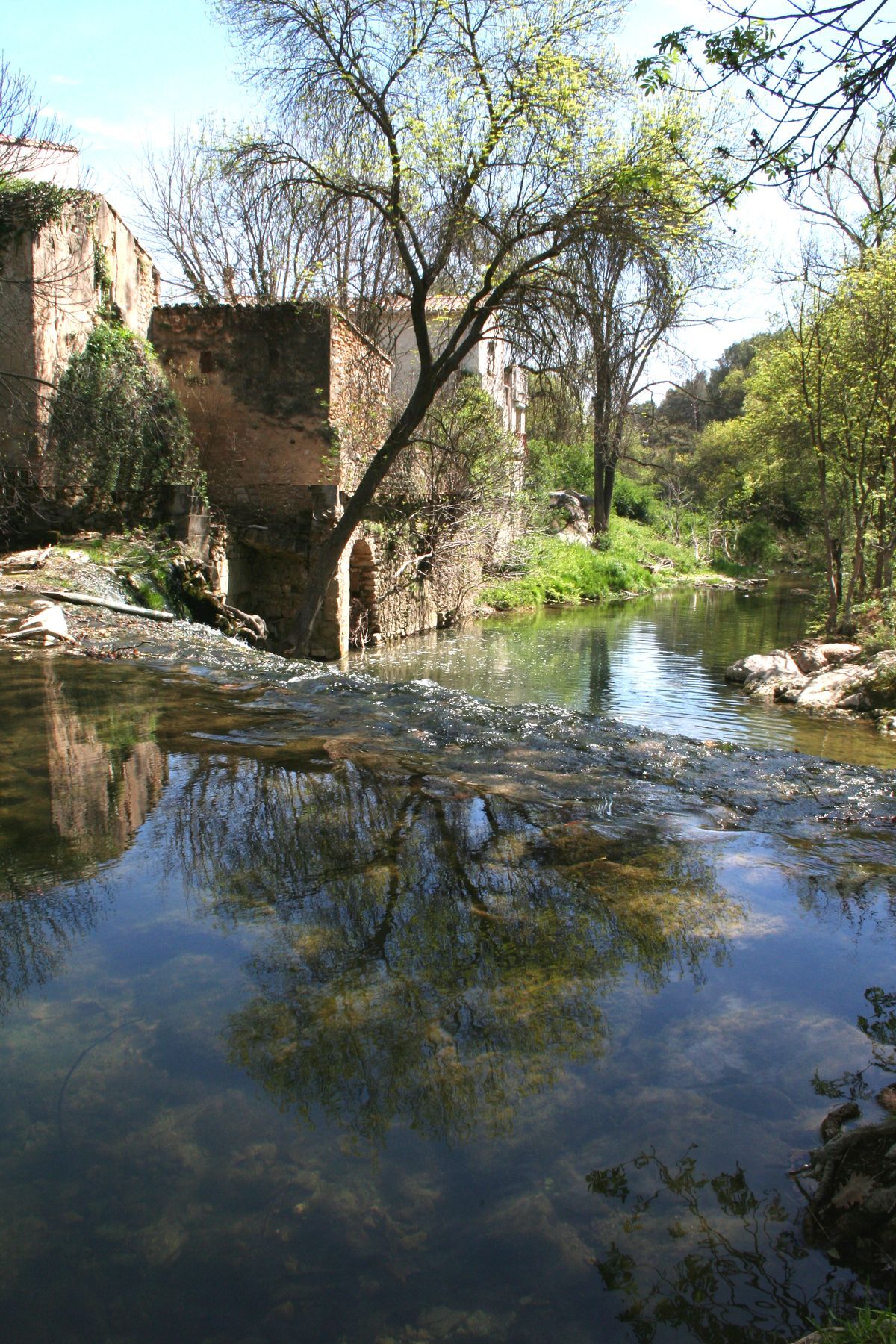
From the parking lot, enter the wooded park via the A.-Ribeyrolles alley, follow the right bank of the Mosson (Solas castle and mill ruins on the left). At the playground (to the right, the resurgence of the Avy springs between two large rocks called “the buttocks of madame”), cross the footbridge and walk 200 m.
2
Turn left after the wooden gate, cross the culvert, continue right along the left bank for 600 m. Cross the Rieumassel at the old Grave mill and continue right.
3
At the transformer, leave the banks of the Mosson and climb the path to the left (steep climb!), up to the Guillery cross (360-degree view over Grabels, Juvignac, La Paillade, the volcanic hill of Redonnel, in the distance Pic Saint-Loup, Hortus, and Mont Saint-Baudille). Descend by a narrow and rocky path (caution!). At the fork, go straight ahead, descend to a crossroads, turn left, then follow the main track towards the village. At the entrance to the residential area, turn right onto Orée du Bois street, then right onto Bosquet, R. Cassin, and des Cévennes streets. At the roundabout, head right along the bike path (notice the horse of Giovanni Ingrato).
4
At the pedestrian crossing past the garage, cross D127 and continue straight along Redonnel path. Cross a culvert. At the crossroads, take the road right, then go left on the paved path bypassing the old Redonnel volcano. At the next crossroads, turn right, pass on the left the new communal market gardens and, at the T-junction, turn left.
5
Follow left the Salinier path (once used by salt caravans heading towards the Cévennes) for 900 m, to Montferrier road. Cross safely and continue straight on the path. Climb straight ahead (steep climb) to the plateau of the Goule de Laval (last vineyards of Grabels on the left). At the crossroads, pass a fenced property on the right.
6
At the corner of the white wall of the property, take immediately left. After a right turn (view of Pic Saint-Loup and Hortus), descend the path then climb again opposite. On top (view of Saint-Gély-du-Fesc), turn left at right angle. Follow a path along the plateau, currently planted with pines and conifers. At the “tree chair”, turn left then right and continue straight.
7
At the intersection at the end of Plan de l’Olivier, continue on the track (right view of the Séranne massif and the village of Combaillaux). Climb left into the valley and at the top, 20 meters before the road, turn right. Cross a gate and continue straight.
8
At the two water towers, descend straight down the steep path. Then turn right on the Montalet path. Reach D127, turn left towards the village then right onto D102. Cross the bridge over the Mosson and find the Avy parking on the left.
In case of emergency, call 112.
Northwest of Montpellier, via D127
Northwest of Montpellier, via D127
Difficulties: steep climb after point 3 followed by a narrow and rocky descent; crossings of D127 and D127E3; carefully follow the markings on the plateau. Hiking not recommended in summer.
Yellow PR
+33 4 67 67 41 15
Hérault Departmental Hiking Committee
PR - FFR
Priljubljeni izleti v okolici
-
5.0
DRAILLES HIKE
svetlobaPohodništvo 7.16 km -
4.0
PIC SAINT LOUP HIKE
srednjaPohodništvo 2.64 km -
SENTIER DES TAMARIS HIKING TRAIL - PROTECTED NATURAL SITE OF MÉJEAN
svetlobaPohodništvo 6.30 km -
HIKING THE CASTRIES AQUEDUCT
svetlobaPohodništvo 11.4 km -
HIKE OF THE CHÂTEAU DE RESTINCLIERES
svetlobaPohodništvo 7.86 km -
OENORANDO® BETWEEN GRÉS DE MONTPELLIER AND PIC SAINT-LOUP
srednjaPohodništvo 15.0 km -
OENORANDO® THE DRAGON TRAIL
srednjaPohodništvo 11.7 km -
4.0
BOIS DE LÈQUE HIKE
svetlobaPohodništvo 9.34 km -
FROM MONTPELLIER TO SAINT-GUILHEM-LE-DÉSERT ON THE GR®653 ARLES WAY TO COMPOSTELA
srednjaPohodništvo 42.7 km -
LOOP CYCLO N°18 - LA SOURCE DU LEZ
svetlobaKolesarjenje 13.9 km
Pohodništvo in sledenje


Ne zamudite ponudb in navdiha za naslednje počitnice
Vaš e-poštni naslov je bil dodan na poštni seznam.





