






TRAIL ON THE GR®7 GRAND ORB DISCOVERY BACKPACKING
Due to the length of the stages, the elevation gain, and the types of trails encountered, this stay is perfectly suited for trail runners or experienced hikers wishing to discover backpacking or simply...
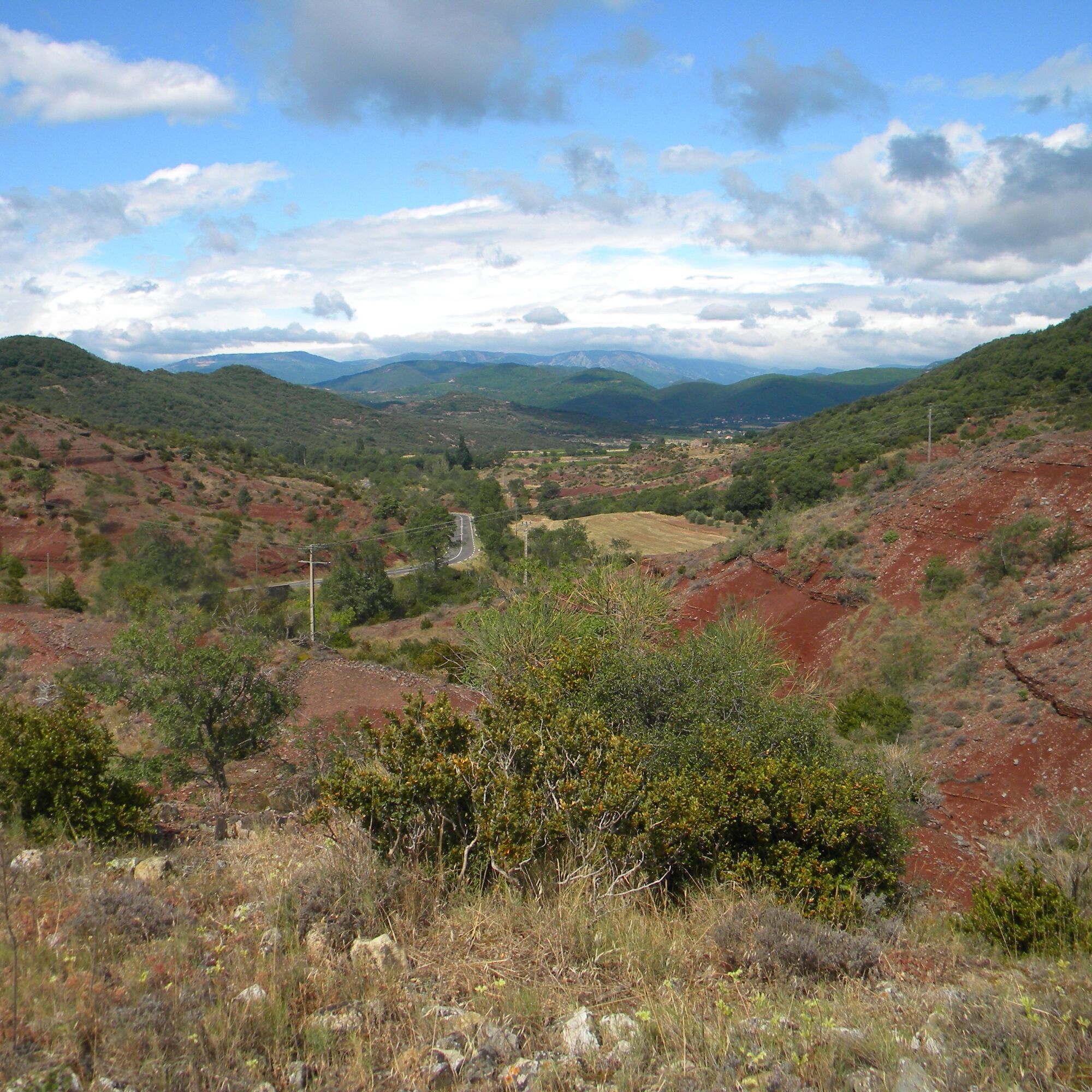
Due to the length of the stages, the elevation gain, and the types of trails encountered, this stay is perfectly suited for trail runners or experienced hikers wishing to discover backpacking or simply to do a weekend route accessible to any initiated practitioner. The valleys, hillsides, and causses follow nicely one after another, allowing you to discover new landscapes at every step. A perfect warm-up to start backpacking in trail running or fast hiking.



1
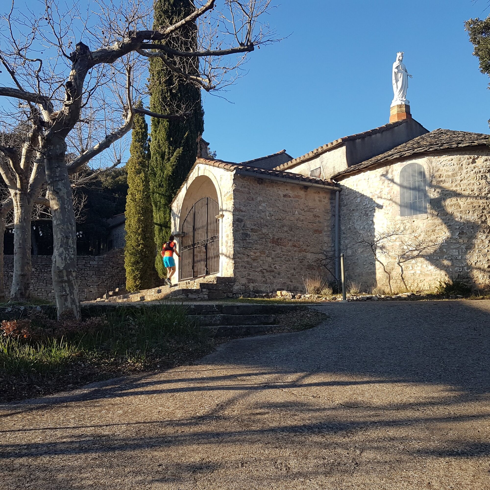
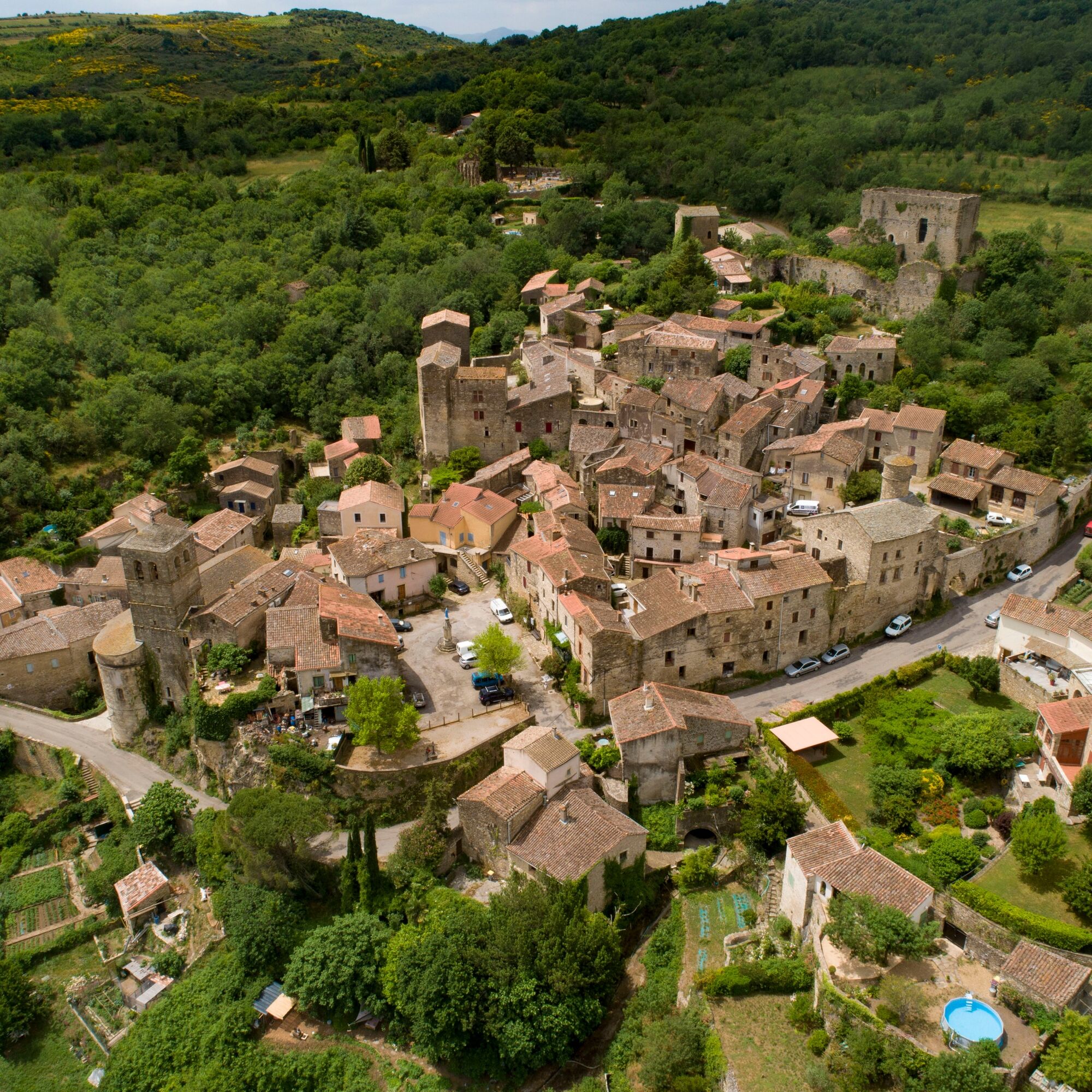
To start this stage, the climb, short but steep towards the chapel of Notre-Dame-de-Capimont (km 2), quickly awakens the muscles. The rest is not easy either as rolling trails alternate between valleys and causses on the foothills of the Larzac. The terrain flattens out at the Orb crossing (km 15) when the route enters this wide valley. The end of the stage offers a nice climb on a pleasant single track to reach the village of Dio (km 22). Accommodations along the route: (Km 0) Many accommodations in Lamalou-les-Bains https://www.tourisme.grandorb.fr/ (Km 22) Lou Castellou Gîte in Dio https://lesdoudous34.wixsite.com/loucastellou (Km 22) Château de Dio Gîte http://chateaudedio.info/#!/Home
2
After reaching Valquières as a warm-up (km 26), the muscles will be particularly tested for the roughly 350m positive elevation gain that leads to Puech Caubel (km 28, summit at 400m off the GR®7) offering as a reward a nice viewpoint over the Monts d’Orb. The rest of the route offers magnificent ridge passages on varied paths with no significant difficulty. This section allows you to prepare to tackle the last 10 kilometers with a descending profile that reaches Lodève. While not difficult, the last section requires some physical freshness, especially on the single track parts where some slopes can be steep. Accommodations along the route: (Km 22) Lou Castellou Gîte in Dio https://lesdoudous34.wixsite.com/loucastellou (Km 22) Château de Dio Gîte http://chateaudedio.info/#!/Home (Km 41) Many accommodations in Lodève https://www.tourisme.grandorb.fr/
3
In Lodève, bus lines 661 and 681 allow a return to Montpellier or Millau. To check schedules, visit the site lio.laregion.fr On site, you will easily find places to eat as well as many accommodations. https://www.tourisme.grandorb.fr/
Lines 661/663
Lines 661/663
GR® and GR® de Pays are trademarks registered by FFRandonnée, designating routes identified under the name “GR®,” marked with white-red markers; and under the name “GR® de Pays,” marked with yellow-red markers. These routes are creations of FFRandonnée. Unauthorized reproduction, as well as use of GR® and GR® de Pays marks, constitutes counterfeiting punishable by law. Find all GR® routes on mongr.fr
White and red GR
https://www.parc-haut-languedoc.fr/
Haut-Languedoc Regional Natural Park
GR - FFR
Priljubljeni izleti v okolici
-
5.0
CIRQUE DE MOUREZE HIKE
srednjaPohodništvo 6.86 km -
5.0
LES VAILHÉS HIKING TRAIL
srednjaPohodništvo 9.28 km -
5.0
MONT LIAUSSON HIKE
srednjaPohodništvo 7.36 km -
5.0
HIKING OF THE L'ESPAZE ARBORETUM
srednjaPohodništvo 12.3 km -
5.0
CIRCUIT N°1 LE LAC DU SALAGOU - ESPACE VTT-FFC DU SALAGOU
srednjaMountainbike 26.9 km -
5.0
HIKING THE RED ROCK
srednjaPohodništvo 7.01 km -
5.0
OENORANDO® THE VALLEY OF AROMAS
srednjaPohodništvo 13.7 km -
4.0
HIKE OF THE GRÉZAC PLATEAU
srednjaPohodništvo 14.0 km -
HIKE OF SAINT MICHEL DE MOURCAIROL
srednjaPohodništvo 11.7 km -
HIKING OF THE UPPER VALLEY OF THE MARE
srednjaPohodništvo 16.2 km
Pohodništvo in sledenje


Ne zamudite ponudb in navdiha za naslednje počitnice
Vaš e-poštni naslov je bil dodan na poštni seznam.





