






The Grande Traversée VTT de l'Ariège

The Grande Traversée VTT in a nutshell :
Average duration of the route: between 5 and 9 days Total distance covered: 203 km Number of stages: 11 stages with around twenty kilometres per stage, gradient...The Grande Traversée VTT in a nutshell :
Average duration of the route: between 5 and 9 days Total distance covered: 203 km Number of stages: 11 stages with around twenty kilometres per stage, gradient varying according to stage. Specific FFC signposting in red Target audience Experienced or intermediate mountain bikers. When? From June to the end of SeptemberThe Grande Traversée VTT Ariège Pyrénées takes you on historic trails!
Dream of new horizons and cross the famous "Chemin des Bonshommes", the Pyrenean Piedmont Way of Saint James, via the "voie verte" in the Cathar Pyrenees. The Ariège offers remarkable places for exploration, adventure and excitement, where you'll always be welcome!
The advantages of this Grande Traversée VTT
3 historic routes 3 mountain bike areas on the route (Le Site VTT des Pyrénées Ariègeoises, Pyrénées Cathares, Couserans Volvestre en Pyrénées) Accommodation providers specialising in welcoming mountain bikers (accueil vélo label)For an all-inclusive holiday
La Rebenne takes care of everything for you! The agency's cycling specialists will find you accommodation, catering and transport. You won't have to worry about a thing!



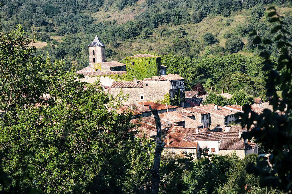
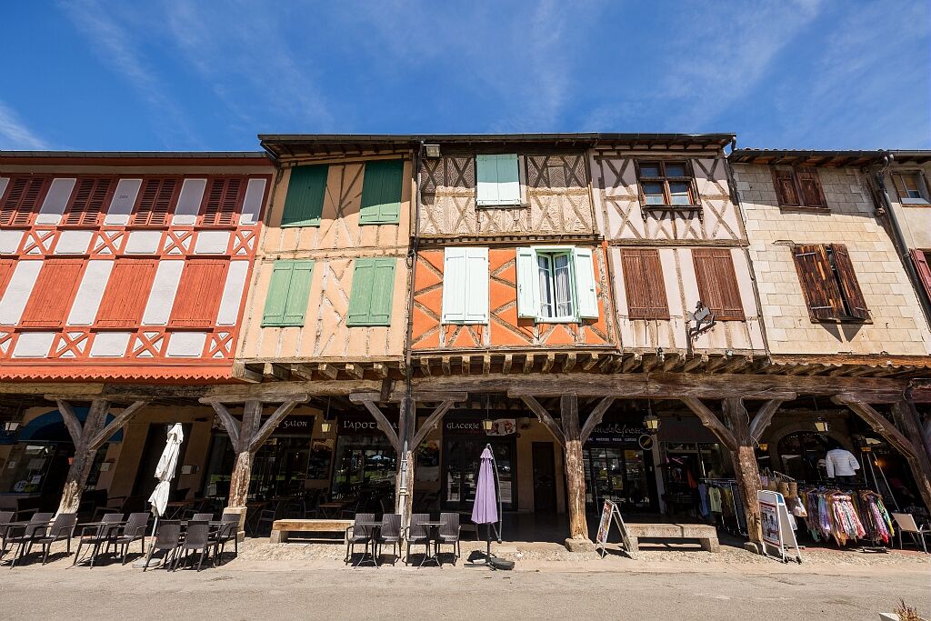


You will pass through :
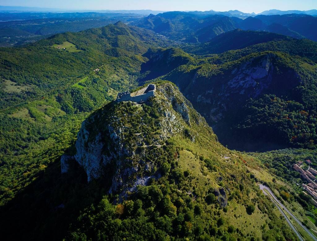
Ax-les-Thermes Lavelanet Mirepoix Pamiers Le Mas d'Azil Saint-Girons Saint-LizierDa
Mountain biking the way you want it! but...
For your own safety, use the marked trails and respect the direction of the routes. Don't overestimate your abilities and keep your speed under control Be careful and courteous when overtaking or crossing other walkers, as pedestrians have priority. Check the condition of your mountain bike and bring supplies and repair accessories with you. If you are going on your own, leave your itinerary to those around you Wearing a helmet is strongly recommended Respect private property and cultivated areas Watch out for farm and forestry machinery Close gates Avoid picking wild flowers, fruit and mushrooms Do not disturb the peace and quiet of wild animals Keep your rubbish to yourself, be discreet and respectful of the environmentEmergency number: 112
From Toulouse: Take the A66 towards Foix, then the N20 to exit 10 and continue on the N20 to Tarascon-sur-Ariège and Ax-les-Thermes. Take the D117 after Foix to Lavelanet.
From Carcassonne: Take the D119 as far as the junction with the D12 towards Foix. Then take the N20 after the 3rd roundabout. Take exit 10 for Foix, then the N20 at Foix to Tarascon-sur-Ariège and Ax-les-Thermes. Take the D625 at Mirepoix to Lavelanet.
From Tarbes: take the A64/E80 towards Saint Girons, exit N°20 towards Saint Girons then follow the D117 to Foix.
Arriving by train or car at Foix SNCF multimodal station
Take the train to Ax-les-Thermes SNCF station
Start the tour
Arrive in Saint-Lizier -> warm-up session on the green route from Saint-Girons to Foix 40km
Pick up your car or train at Foix station.
For all public transport information: https: //lio.laregion.fr/
Parking close to all stage departure points
To find out more about the destination, visit our website
Signs: mountain bike signs

Priljubljeni izleti v okolici
Grande Traversée VTT Ariège Pyrénées
težkoMountainbike 207.3 kmCycling route - The Mirapicien around Camon and the lake of Montbel
svetlobaKolesarjenje 20.7 kmCycling route - The church of Vals
svetlobaKolesarjenje 49.5 kmThe Ariège MTB Crossing - Stage 06: Mirepoix to Saint-Amadou
težkoMountainbike 21.5 kmCircuit cyclotourisme - Dans les plaines autour de Foix
srednjaCestno kolo 58.6 kmThe Ariège MTB Crossing - Stage 05: Chalabre to Mirepoix
svetlobaMountainbike 21.1 kmCyclotourism route - At the heart of the Douctouyre
srednjaCestno kolo 38.5 kmThe Tabariane Loop
svetlobaPohodništvo 2.60 kmAriège MTB Crossing - Stage 07: Saint-Amadou to Pamiers
srednjaMountainbike 14 kmCyclotourism route - around Pic de Montégut
srednjaCestno kolo 28.2 km
Pohodništvo in sledenje


Ne zamudite ponudb in navdiha za naslednje počitnice
Vaš e-poštni naslov je bil dodan na poštni seznam.





