MTB route no. 24 Peyrelade
svetloba
Pridobite to turo v svoj mobilni telefon
MTB route no. 24 Peyrelade
svetloba
Mountainbike
8.97
km
Skenirajte kodo QR in začnite navigacijo v aplikaciji bergfex.


Pohodništvo in sledenje





MTB route no. 24 Peyrelade
svetloba
Razdalja
8.97
km
Trajanje
00:57
h
Ascent
152
hm
Morska gladina
371 -
497
m
Prenos skladbe
MTB route no. 24 Peyrelade
svetloba
Mountainbike
8.97
km
This circuit will take you through the village of Roussayrolles, its 13th-century church "Notre Dame," and the hamlet of Mespoulet. You will also discover the "Peyro Levado" dolmen in Vaour, classified...
Opis
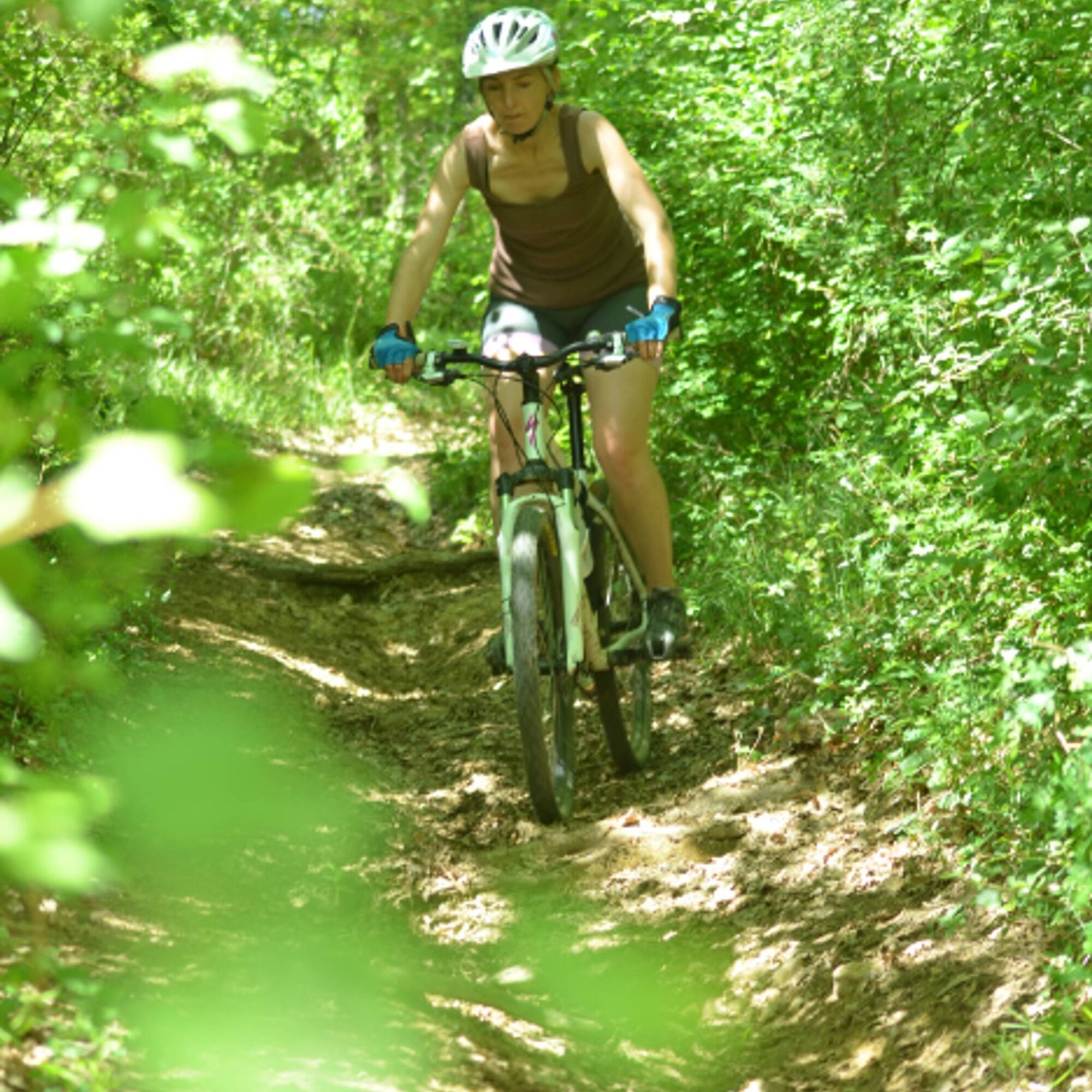
This circuit will take you through the village of Roussayrolles, its 13th-century church "Notre Dame," and the hamlet of Mespoulet. You will also discover the "Peyro Levado" dolmen in Vaour, classified as a historical monument in 1886, and enjoy beautiful views of the rolling landscapes of the Causse.
You will follow a small, winding road that passes under the hazel trees' canopy, where you might hear the spring that emerges by the roadside. Along the paths of the Causse, you can admire the flowers that line your route.
You will follow a small, winding road that passes under the hazel trees' canopy, where you might hear the spring that emerges by the roadside. Along the paths of the Causse, you can admire the flowers that line your route.
Pot
Roussayrolles
(415 m)
Vas
0.0 km
Pech Mège Haut
(392 m)
Koridor/teren
0.9 km
Roussayrolles
(415 m)
Vas
8.7 km
Église Notre-Dame de Roussayrolles
(413 m)
Kraj čaščenja
8.7 km
Pot
MTB route no. 24 Peyrelade
svetloba
Mountainbike
8.97
km
Roussayrolles
(415 m)
Vas
0.0 km
Pech Mège Haut
(392 m)
Koridor/teren
0.9 km
Roussayrolles
(415 m)
Vas
8.7 km
Église Notre-Dame de Roussayrolles
(413 m)
Kraj čaščenja
8.7 km


Informacije o poti
Pot
Starting from Roussayrolles, you cross the village and continue along the Chemin des Nougayrols towards the "sentier des écoliers," typical of the Causse. You descend the winding road and, once at the heights, turn right onto the path that passes below the hamlet of Peyralade. At the intersection in the cedar plantation, turn left and follow the gravel path to the Dolmen crossroads. You then ascend via the Chemin de La Peyre and the trails through the chestnut woods towards the "Liberte" crossroads and the place called "La Fleur de Lys."
Finally, you descend to the hamlet of Mespoulet and return to the village of Roussayrolles.
Finally, you descend to the hamlet of Mespoulet and return to the village of Roussayrolles.
Dodatne informacije in nasveti
Dodatne informacije
Easy
Še ni pregledov
Priljubljeni izleti v okolici
-
5.0
Chemin de la Vère au Saint-Hussou
srednjaPohodništvo 14.2 km -
Maraval Trail - Short Variant
srednjaPohodništvo 5.02 km -
Sentier des dunes de Maraval aux Touardes
srednjaPohodništvo 8.57 km -
The Suquets of Penne
svetlobaPohodništvo 10.3 km -
Grain of salt path (Chemin du grain de sel)
srednjaPohodništvo 10.6 km -
Maraval trail - dune section
svetlobaPohodništvo 1.72 km -
From the Cérou to the Aveyron
srednjaPohodništvo 10.2 km -
Sentier de découverte de Les Cabannes "Sur les traces des bâtisseurs"
svetlobaPohodništvo 2.63 km -
Sentier de Mespel
srednjaPohodništvo 5.73 km -
Téroundel path (Sentier du Téroundel)
svetlobaPohodništvo 2.58 km
Pohodništvo in sledenje

Zaradi več kot 550.000 predlogov izletov, podrobnih zemljevidov in intuitivnega načrtovanja poti je aplikacija obvezna oprema za vse ljubitelje narave.

Ne zamudite ponudb in navdiha za naslednje počitnice
Naročite se na novice
Napaka
Zgodila se je napaka. Prosimo, poskusite znova.
Zahvaljujemo se vam za prijavo
Vaš e-poštni naslov je bil dodan na poštni seznam.
Izleti po vsej Evropi
Avstrija
Švica
Nemčija
Italija
Slovenija
Francija
Nizozemska
Belgija
Poljska
Lihtenštajn
Češka
Slovaška
Španija
Chorvátsko
Bosna in Hercegovina
Luksemburg
Andora
පෘතුගාලය
අයිස්ලන්තය
එක්සත් රාජධානිය
අයර්ලන්තය
ග්රීසිය
ඇල්බේනියාව
North Macedonia
Malta
Norway
Montenegro
Moldova
කොසෝවො
හන්ගේරියානු සමුහාණ්ඩුව
San Marino
රුමේනියාව
එස්ටෝනියා
ලැට්වියාව
බෙලාරස්
සයිප්රස්
Lithuania
Serbia
බල්ගේරියාව
Monaco
ඩෙන්මාර්කය
Sweden
ෆින්ලන්තය





