







Sentier des dunes de Maraval aux Touardes
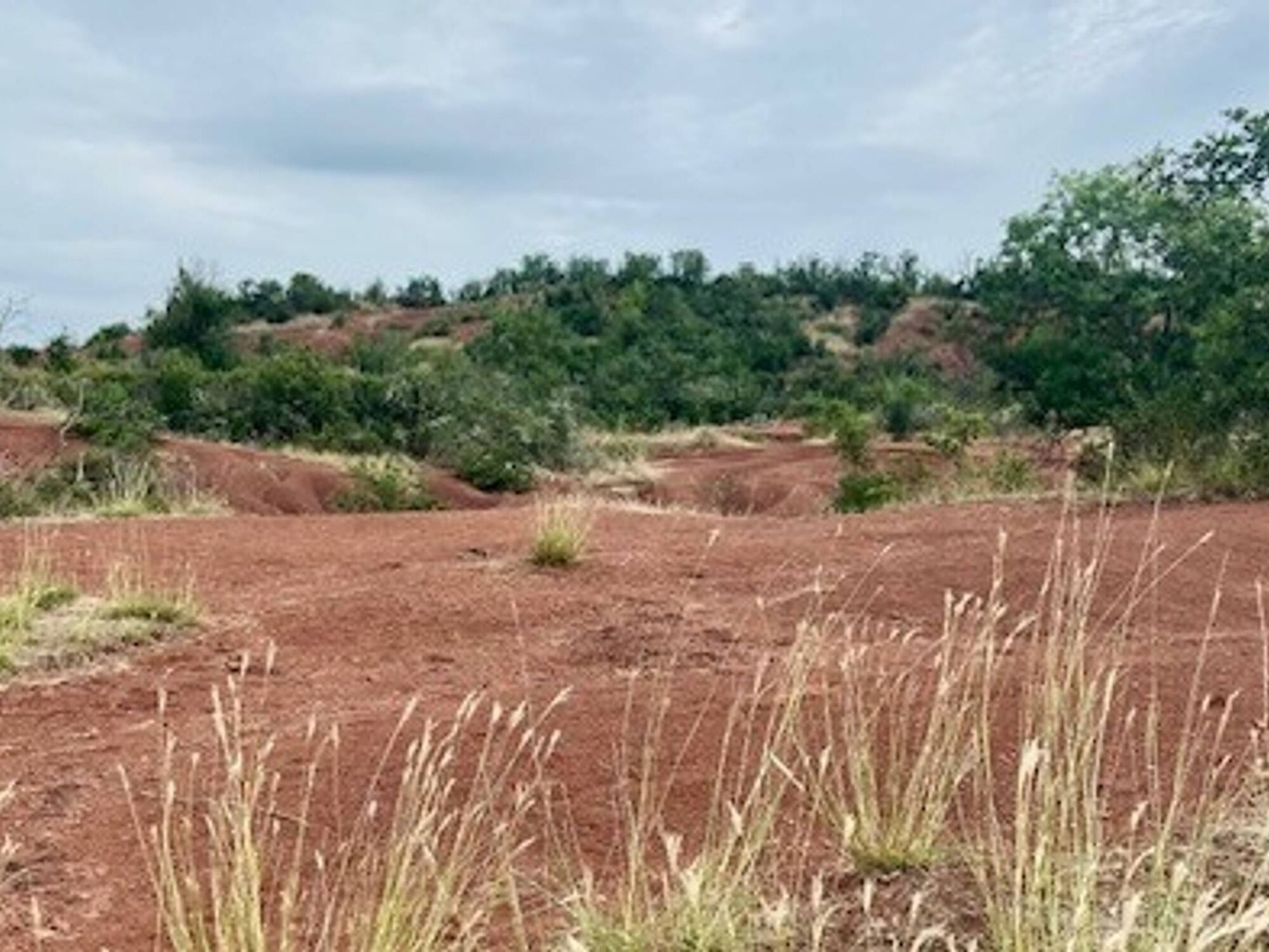
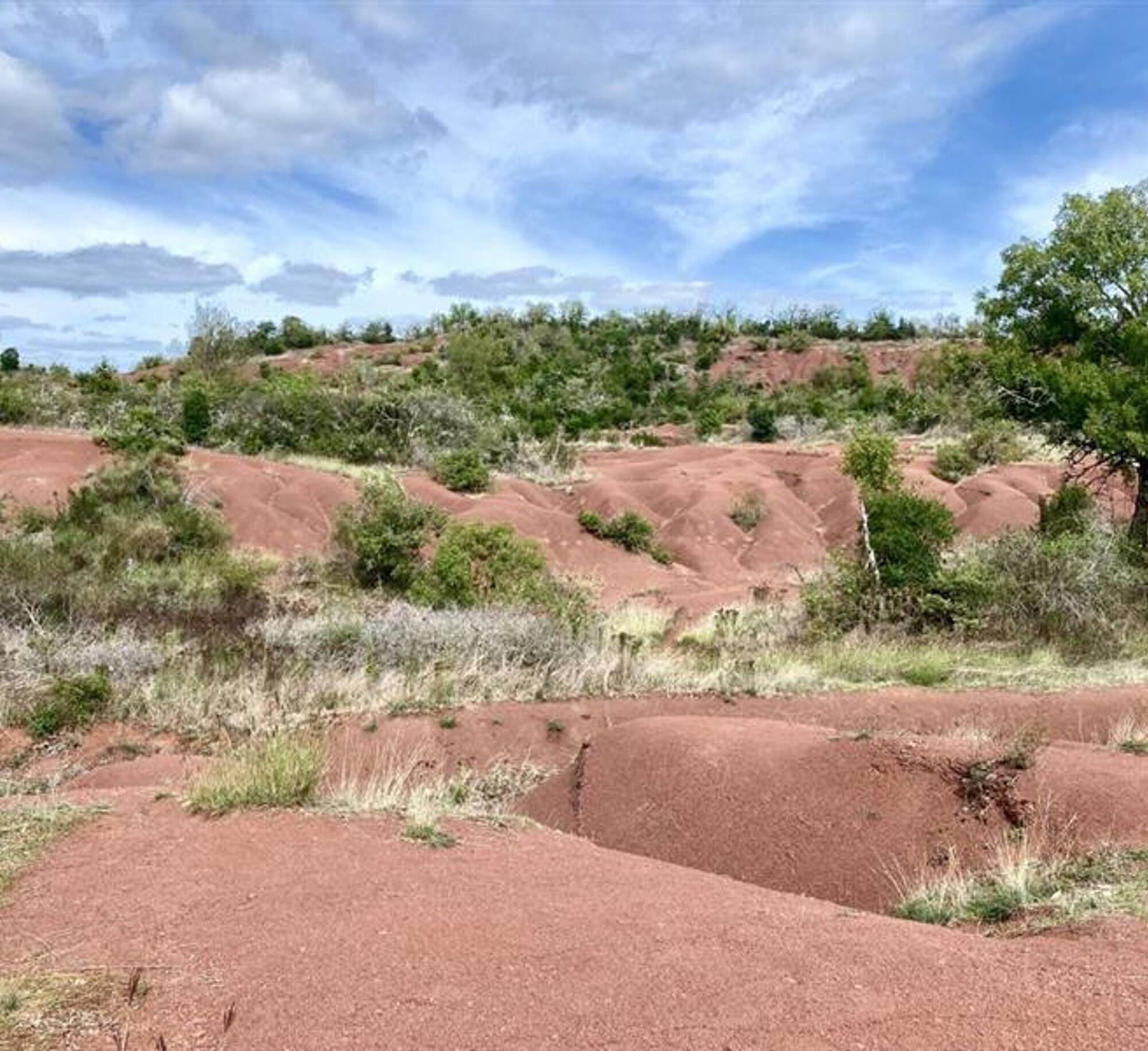
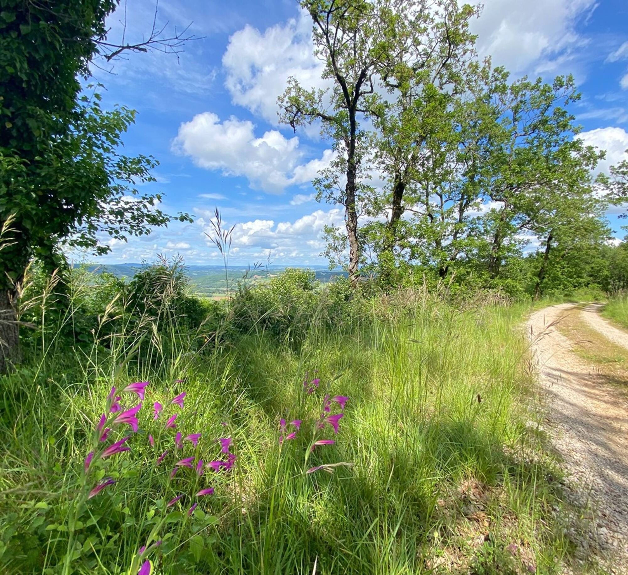
This pleasant loop takes you to the heart of the Cordais hills to discover a rare landscape: the red dunes of Maraval. Formed by a tropical climate dating back more than 250 million years, they create...
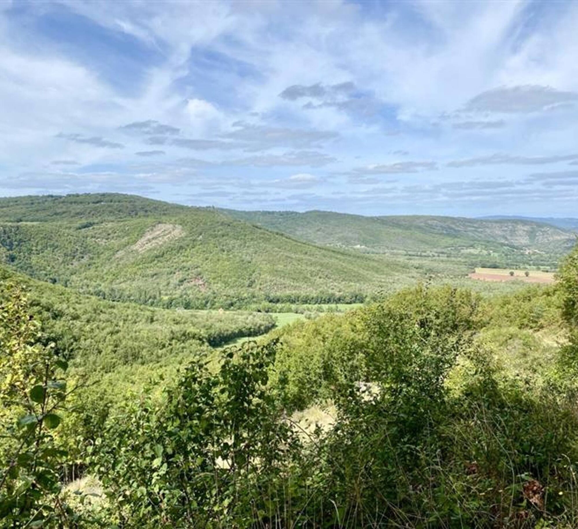
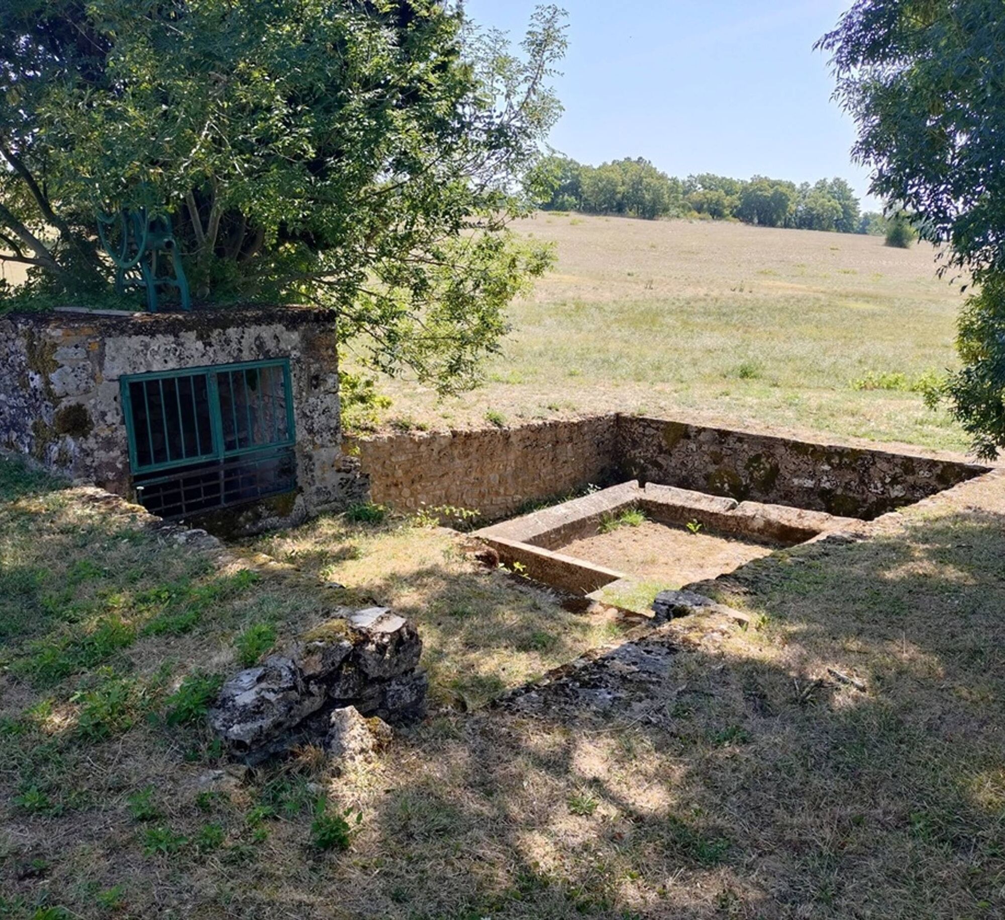
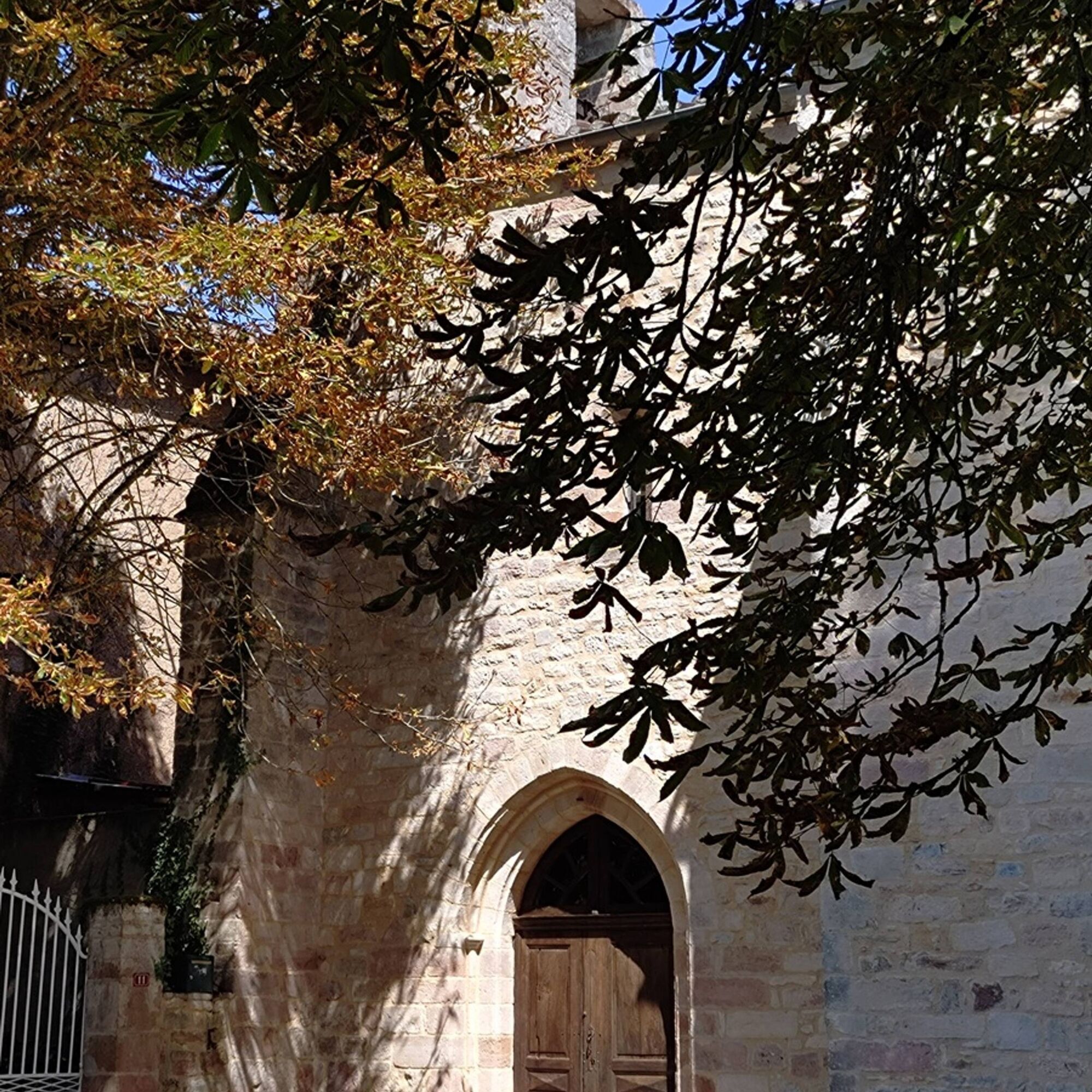
Further on, the path crosses meadows and woods before reaching the village of Tonnac. The heir to a Visigothic settlement, it has preserved its church and quiet streets, witnesses to a long rural history.
With its astonishing geology, sensitive nature and heritage, this easy hike combines a change of scenery with discovery.

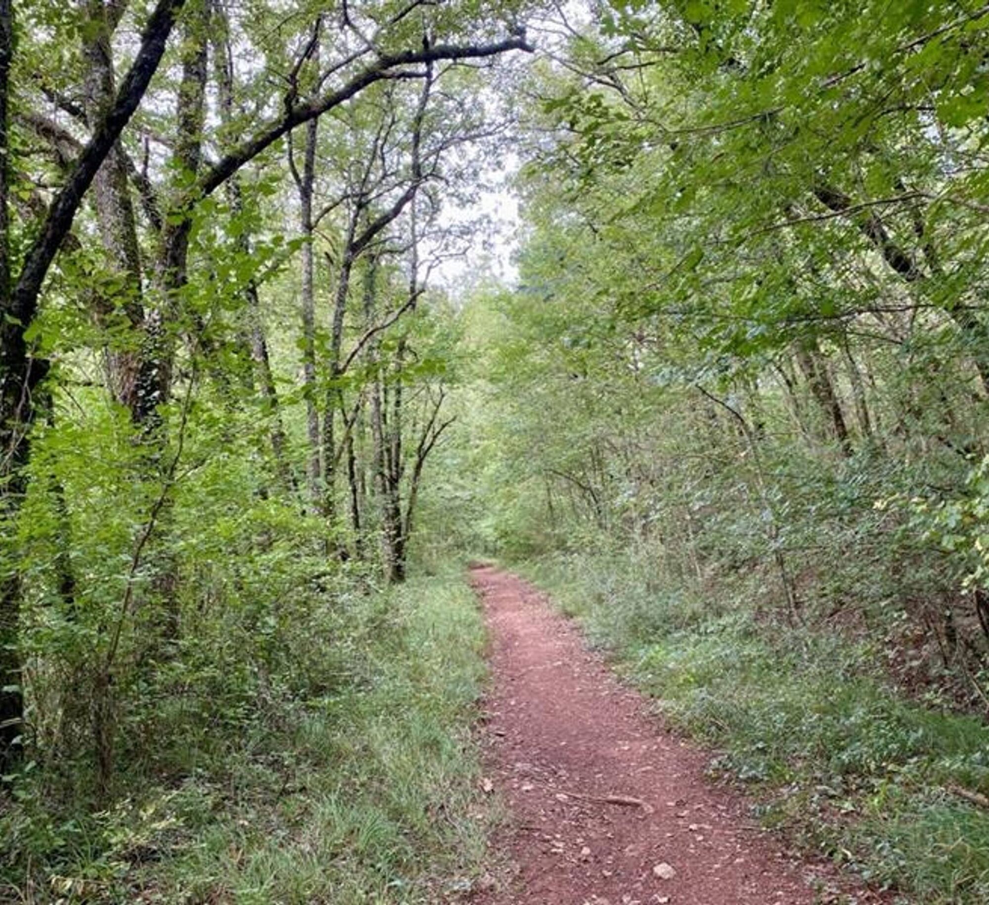

1. In front of the starting sign, near the car park, take the path that leads into the woods.
2. You are now entering the clay dunes of the Rougier de Maraval. Please note: you are now entering a Sensitive Natural Area (ENS): stay strictly on the marked path; on either side you are on private property.
3. Turn left towards La Vernière. Pass by the foot of the hamlet and join the D91 departmental road. At this point, there is a shorter 5.34 km option (1 hour 45 minutes) by taking the path on the right.
4. Cross the departmental road and continue straight ahead until you reach the small road. Take it on the right, pass in front of the Mouline and continue for another 400 m.
5. Turn onto the path on the right.
6. Shortly before reaching the road, turn right, go up the path along the edge of the field and join a farm track. Turn left towards Tonnac.
7. At the road, turn left, cross the D33 and follow the path up to the village church. Go around the church on the left, cross the village to the cemetery. If you are starting from Tonnac: the loop begins here. After the cemetery, turn right and go down to the D33. Turn left onto it for 130m and turn right to go up towards the D91.
8. Cross the main road and take the path through the fields. At the track, turn right. At the next intersection, ignore the path on the right (arrival of the alternative route) and take the path opposite which descends through the woods to the entrance of the Maraval estate. Take the road on the right and return to the starting point.
Intermediate
Priljubljeni izleti v okolici
-
5.0
Chemin de la Vère au Saint-Hussou
srednjaPohodništvo 14.2 km -
Maraval Trail - Short Variant
srednjaPohodništvo 5.02 km -
Grain of salt path (Chemin du grain de sel)
srednjaPohodništvo 10.8 km -
The Suquets of Penne
svetlobaPohodništvo 10.3 km -
From the Cérou to the Aveyron
srednjaPohodništvo 10.2 km -
Sentier de découverte de Les Cabannes "Sur les traces des bâtisseurs"
svetlobaPohodništvo 2.63 km -
Sentier de Mespel
srednjaPohodništvo 5.73 km -
Vignoble et châteaux
težkoPohodništvo 17.4 km -
GR46 ® - The Bastides of Albi
težkoPohodništvo 114.3 km -
Téroundel path (Sentier du Téroundel)
svetlobaPohodništvo 2.58 km
Pohodništvo in sledenje


Ne zamudite ponudb in navdiha za naslednje počitnice
Vaš e-poštni naslov je bil dodan na poštni seznam.





