






MTB route no.19 Grand Penne
This route offers stunning views of the Aveyron Valley and the villages of Penne and Bruniquel, as well as a climb to the heights of Vaour and St. Michel de Vax. With beautiful elevation changes, it promises...
This route offers stunning views of the Aveyron Valley and the villages of Penne and Bruniquel, as well as a climb to the heights of Vaour and St. Michel de Vax. With beautiful elevation changes, it promises a challenging and sporty experience.

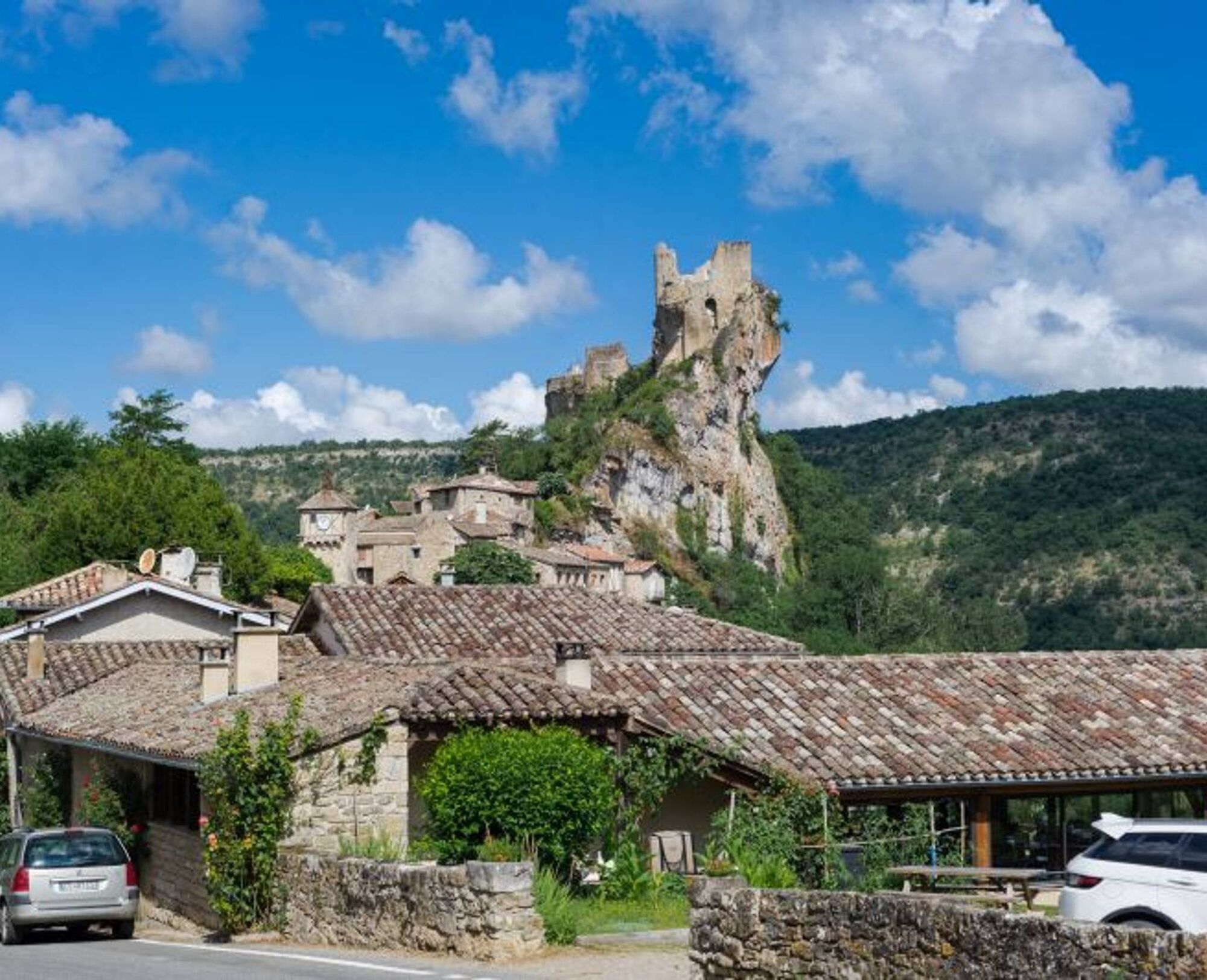
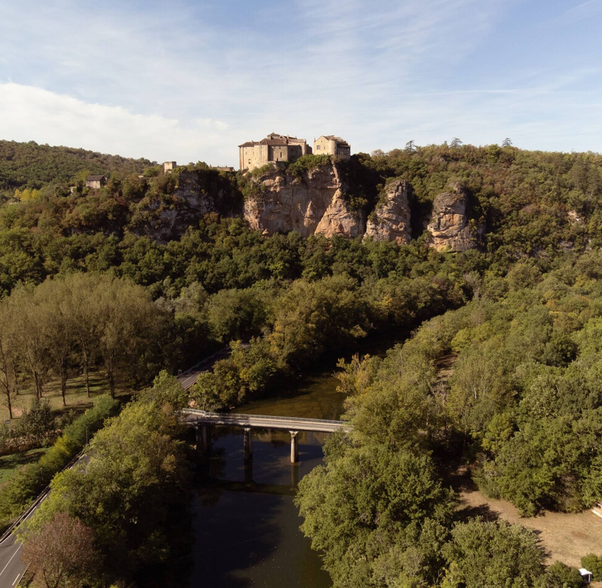

Starting from Penne, you descend towards the Aveyron River and then climb up to the Causse via a challenging uphill road. You cross the Causse and descend towards Bruniquel, enjoying a beautiful view of the castle overlooking the Aveyron Valley. You then gradually climb back up towards the hamlet of St. Paul de Mamiac and the Forêt de Grésigne, continuing to Vaour and its Templar Commandery. After crossing the village, you climb towards the heights via the Route de Liberté to the place called "La Fleur de Lys" before descending by the trails to the village of St. Michel de Vax. Finally, you follow the path across the plateau and cross the small valley of the stream "Le Bombic" before climbing up to the hamlet of Roussergues and its small 12th-century church, Notre Dame. A final climb to the village awaits to finish.
Difficult
Priljubljeni izleti v okolici
-
5.0
Chemin de la Vère au Saint-Hussou
srednjaPohodništvo 14.2 km -
Maraval Trail - Short Variant
srednjaPohodništvo 5.02 km -
Sentier des dunes de Maraval aux Touardes
srednjaPohodništvo 8.57 km -
The Suquets of Penne
svetlobaPohodništvo 10.3 km -
Maraval trail - dune section
svetlobaPohodništvo 1.72 km -
From the Cérou to the Aveyron
srednjaPohodništvo 10.2 km -
Sentier de Mespel
srednjaPohodništvo 5.73 km -
Circuit VTT n°27 Bonnan Vert
svetlobaMountainbike 8.18 km -
Lacapelle Sainte-Lucie circuit
srednjaPohodništvo 11.5 km -
Tarn Horse Route: Puycelsi / Bruniquel
srednjaJahanje 11.9 km

Pohodništvo in sledenje


Ne zamudite ponudb in navdiha za naslednje počitnice
Vaš e-poštni naslov je bil dodan na poštni seznam.





