







Mountain Bike Route 9: Crossing Grésigne
Grésigne Forest: Covering 3,530 hectares, this state forest is the largest in the Tarn and one of the largest oak forests in Europe. Its historical remnants, high-quality wood, and diverse wildlife (ranking...
Grésigne Forest: Covering 3,530 hectares, this state forest is the largest in the Tarn and one of the largest oak forests in Europe. Its historical remnants, high-quality wood, and diverse wildlife (ranking third among Europe's richest forests in terms of insects, with 2,400 distinct families) make it a treasure for all. The National Forest Office (ONF) advises staying on marked trails. Be cautious during hunting season.

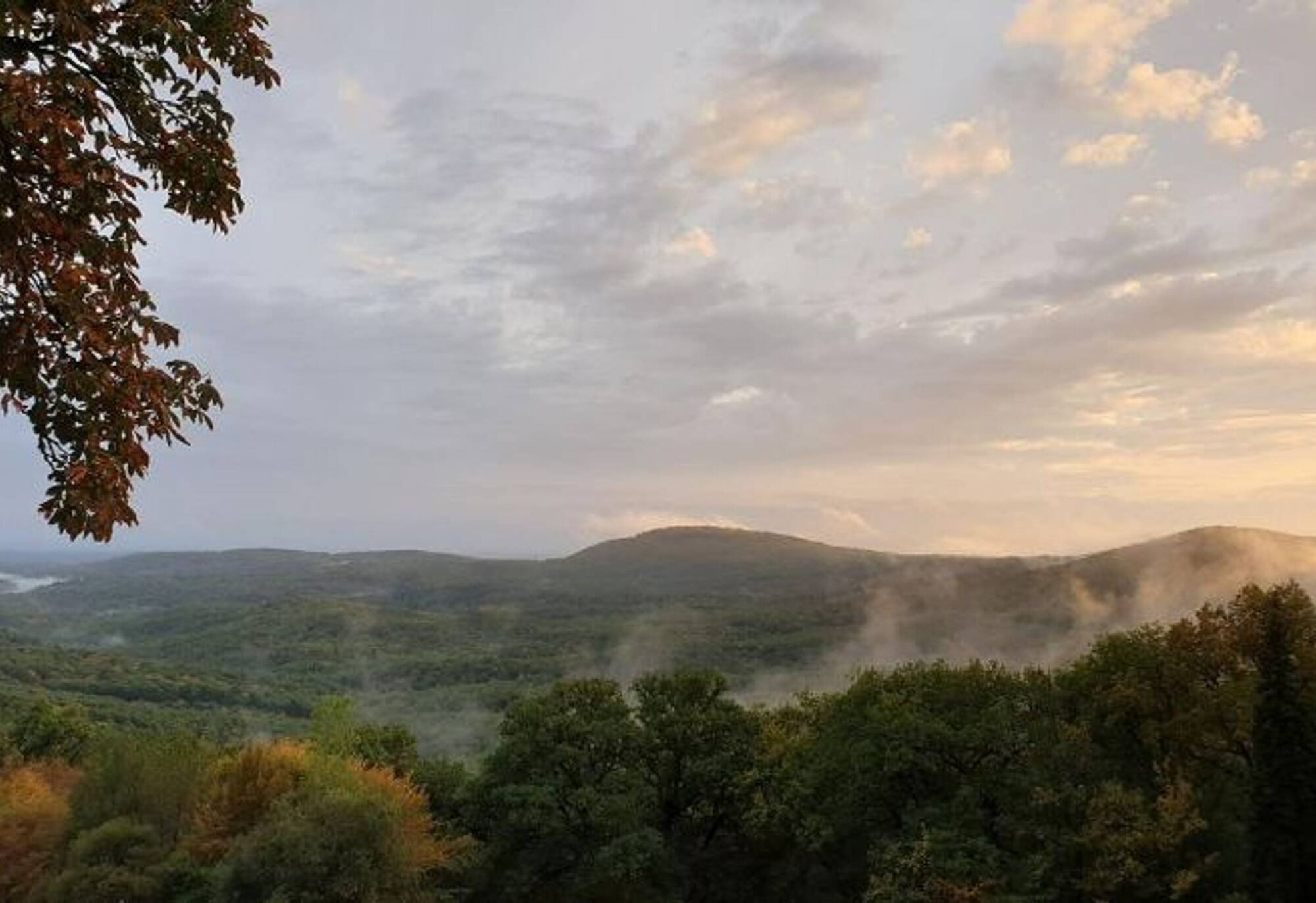
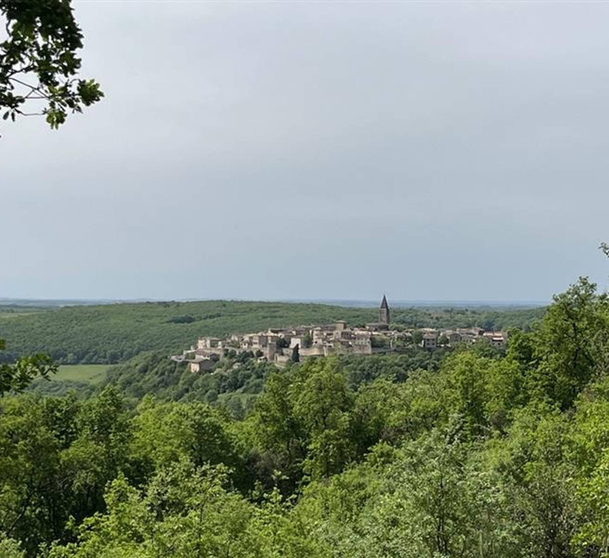

Starting from the Vère-Grésigne Leisure Center, cross the road and warm up by taking a long stony path that runs alongside the fields. Join the GR46 trail and then the GR de Pays de Castelnau à Penne. Traverse a varied path before entering a broad track in the heart of the Grésigne State Forest. Reach the Pas de Sauze and the Plégade roundabout. Descend to the base of the Puycelsi citadel where you rejoin the GR46 trail, which takes you towards Laval. Finish by crossing the plain of the Vère stream to return to the leisure center lake.
Difficult
Priljubljeni izleti v okolici
-
5.0
Chemin de la Vère au Saint-Hussou
srednjaPohodništvo 14.2 km -
Maraval Trail - Short Variant
srednjaPohodništvo 5.02 km -
Sentier des dunes de Maraval aux Touardes
srednjaPohodništvo 8.57 km -
The Suquets of Penne
svetlobaPohodništvo 10.3 km -
Mountain Biking Trail: Grande Boucle Bastides and Vineyards of Gaillac
težkoMountainbike 144.4 km -
Maraval trail - dune section
svetlobaPohodništvo 1.72 km -
Conques Toulouse route - From Saint-Martin-Laguépie to Saint-Sulpice-la-Pointe
težkoPohodništvo 84.3 km -
Sentier de Mespel
srednjaPohodništvo 5.73 km -
Vignoble et châteaux
težkoPohodništvo 17.4 km -
Tour du Tarn on horseback: Lisle-sur-Tarn / Puycelsi
težkoJahanje 28.4 km
Pohodništvo in sledenje


Ne zamudite ponudb in navdiha za naslednje počitnice
Vaš e-poštni naslov je bil dodan na poštni seznam.





