


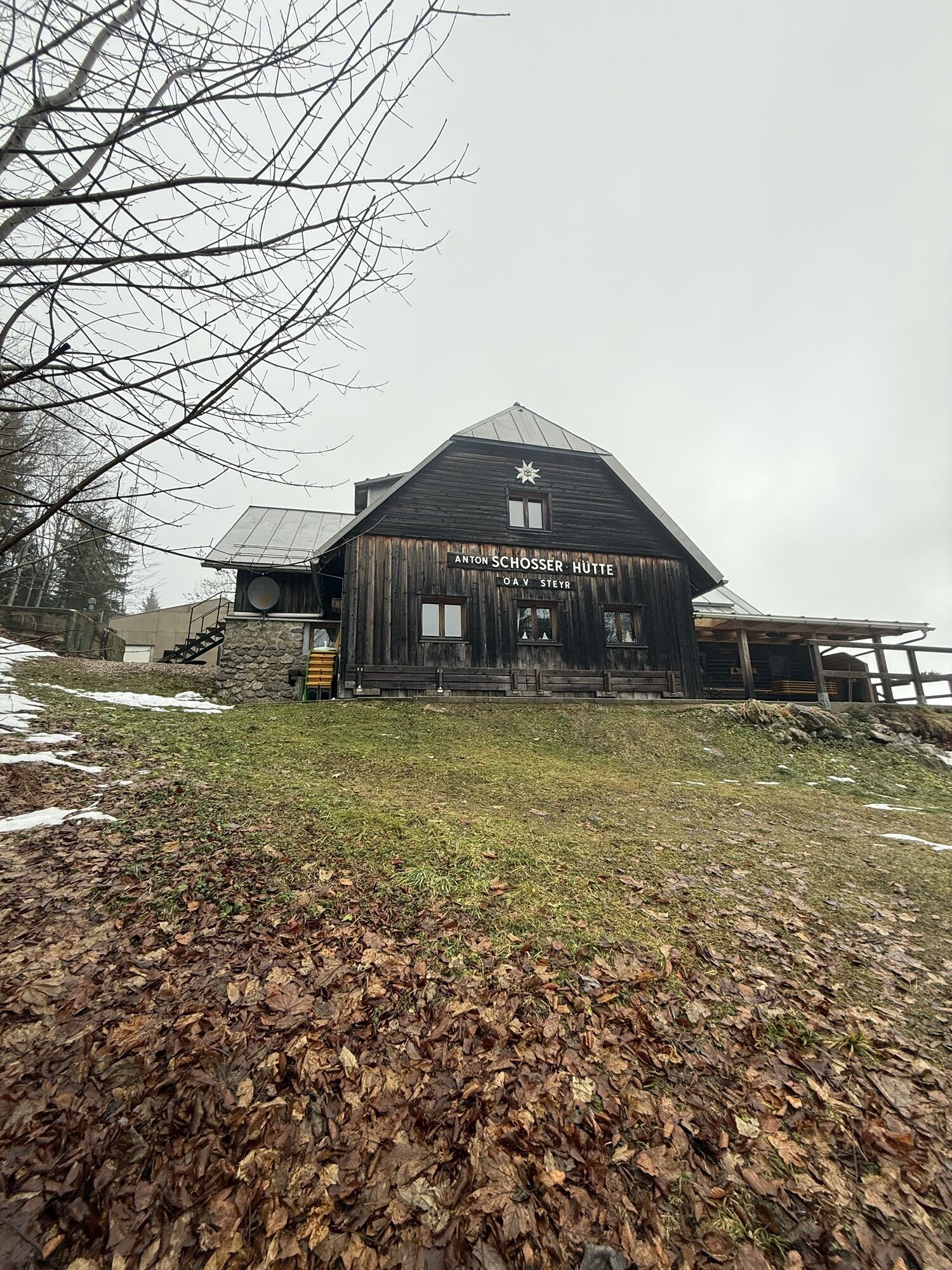
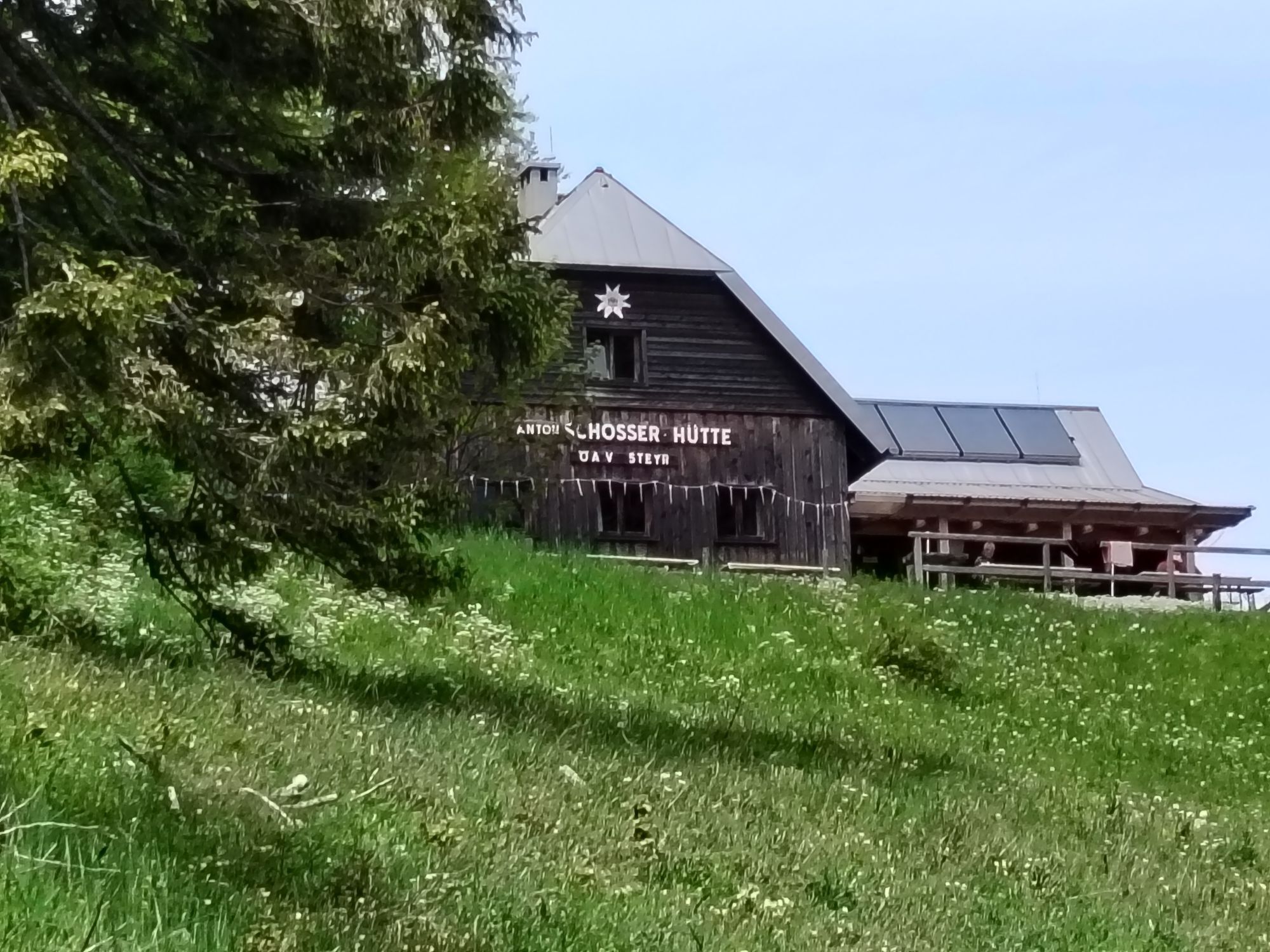
Anton Schosser Hut via Gfallnau - Hohe Dirn Steig
Fotografije naših uporabnikov
 © JordyUstvarjeno na 11.01.2025
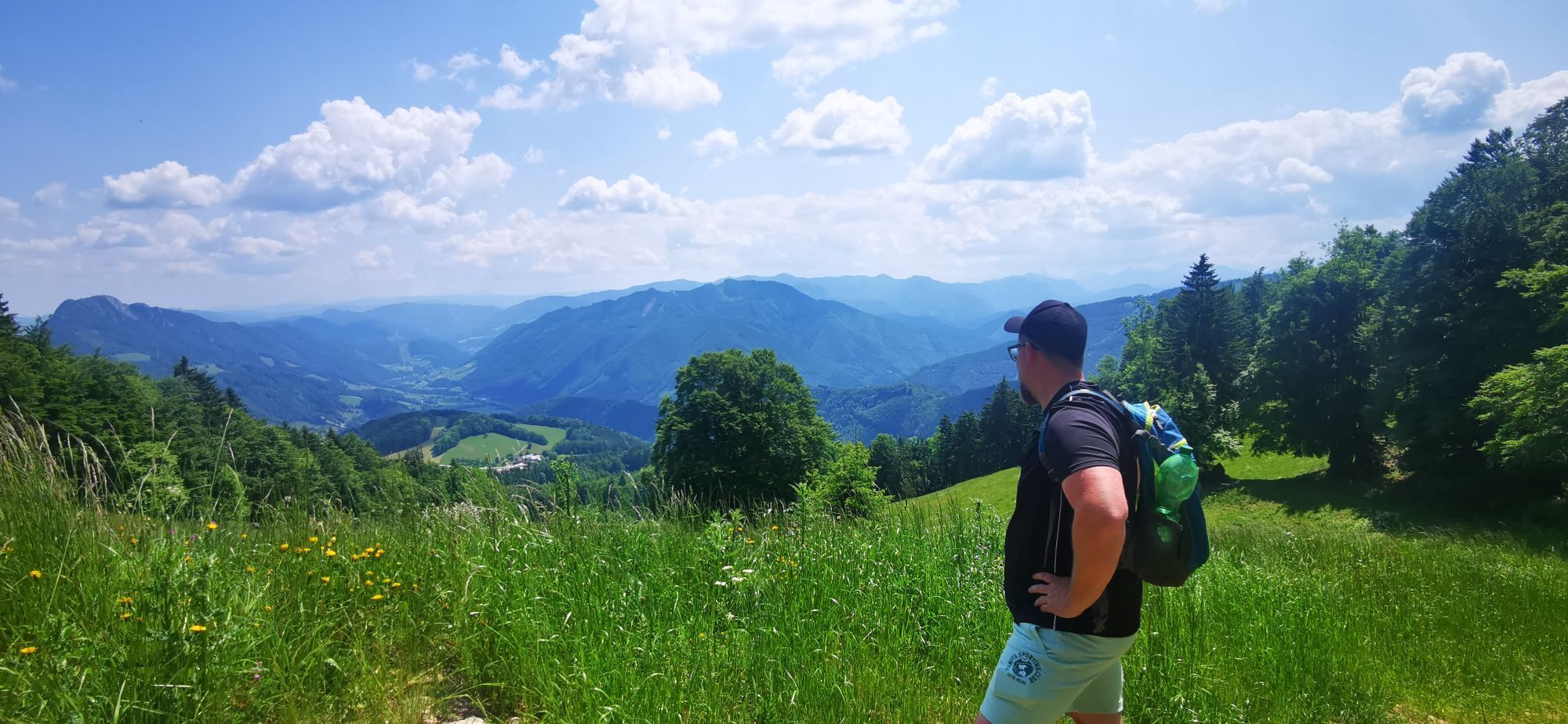
 © Santin JuergenUstvarjeno na 05.03.2026
 © Santin JuergenUstvarjeno na 05.03.2026
 © Santin JuergenUstvarjeno na 05.03.2026
 © Petra RieglerUstvarjeno na 22.01.2026
 © Petra RieglerUstvarjeno na 22.01.2026
 © Petra RieglerUstvarjeno na 22.01.2026
 © Petra RieglerUstvarjeno na 22.01.2026
 © Johann SchörkhuberUstvarjeno na 14.12.2025
 © Johann SchörkhuberUstvarjeno na 14.12.2025
 © Johann SchörkhuberUstvarjeno na 14.12.2025
 © Berg NoarUstvarjeno na 08.12.2025
 © Berg NoarUstvarjeno na 08.12.2025
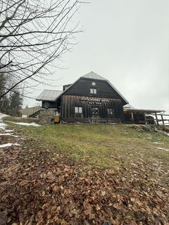 © Berg NoarUstvarjeno na 08.12.2025
 © Hermann GösslerUstvarjeno na 09.09.2025
 © Hermann GösslerUstvarjeno na 09.09.2025
 © Hermann GösslerUstvarjeno na 09.09.2025
 © Edith K.Ustvarjeno na 19.07.2025
 © Edith K.Ustvarjeno na 19.07.2025
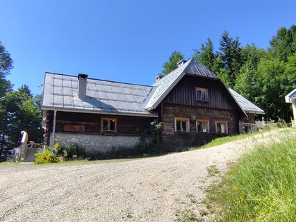 © Edith K.Ustvarjeno na 19.07.2025
 © Edith K.Ustvarjeno na 19.07.2025
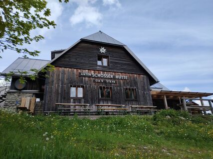
 © Angelika SilberhuberUstvarjeno na 27.05.2025
 © Angelika SilberhuberUstvarjeno na 27.05.2025
 © das-gipfelbuch.atUstvarjeno na 20.04.2025
 © das-gipfelbuch.atUstvarjeno na 20.04.2025
 © Michaels bergfexUstvarjeno na 04.03.2025
 © Thomas 60Ustvarjeno na 30.12.2024
 © Karl PlatzlUstvarjeno na 06.06.2024
 © Romana HinterbichlerUstvarjeno na 09.01.2024
 © Klaus LehnerUstvarjeno na 16.06.2023
 © Klaus LehnerUstvarjeno na 16.06.2023
 © Klaus LehnerUstvarjeno na 16.06.2023
 © Klaus LehnerUstvarjeno na 16.06.2023
 © Klaus LehnerUstvarjeno na 16.06.2023
 © Klaus LehnerUstvarjeno na 16.06.2023
 © Klaus LehnerUstvarjeno na 16.06.2023
 © Klaus LehnerUstvarjeno na 16.06.2023
 © Klaus LehnerUstvarjeno na 16.06.2023
 © Klaus LehnerUstvarjeno na 16.06.2023
 © Klaus LehnerUstvarjeno na 16.06.2023
 © Klaus LehnerUstvarjeno na 16.06.2023
 © Klaus LehnerUstvarjeno na 16.06.2023
 © Klaus LehnerUstvarjeno na 16.06.2023
 © Klaus LehnerUstvarjeno na 16.06.2023
 © Klaus LehnerUstvarjeno na 16.06.2023
 © Klaus LehnerUstvarjeno na 16.06.2023
 © Klaus LehnerUstvarjeno na 21.05.2023
 © Klaus LehnerUstvarjeno na 21.05.2023


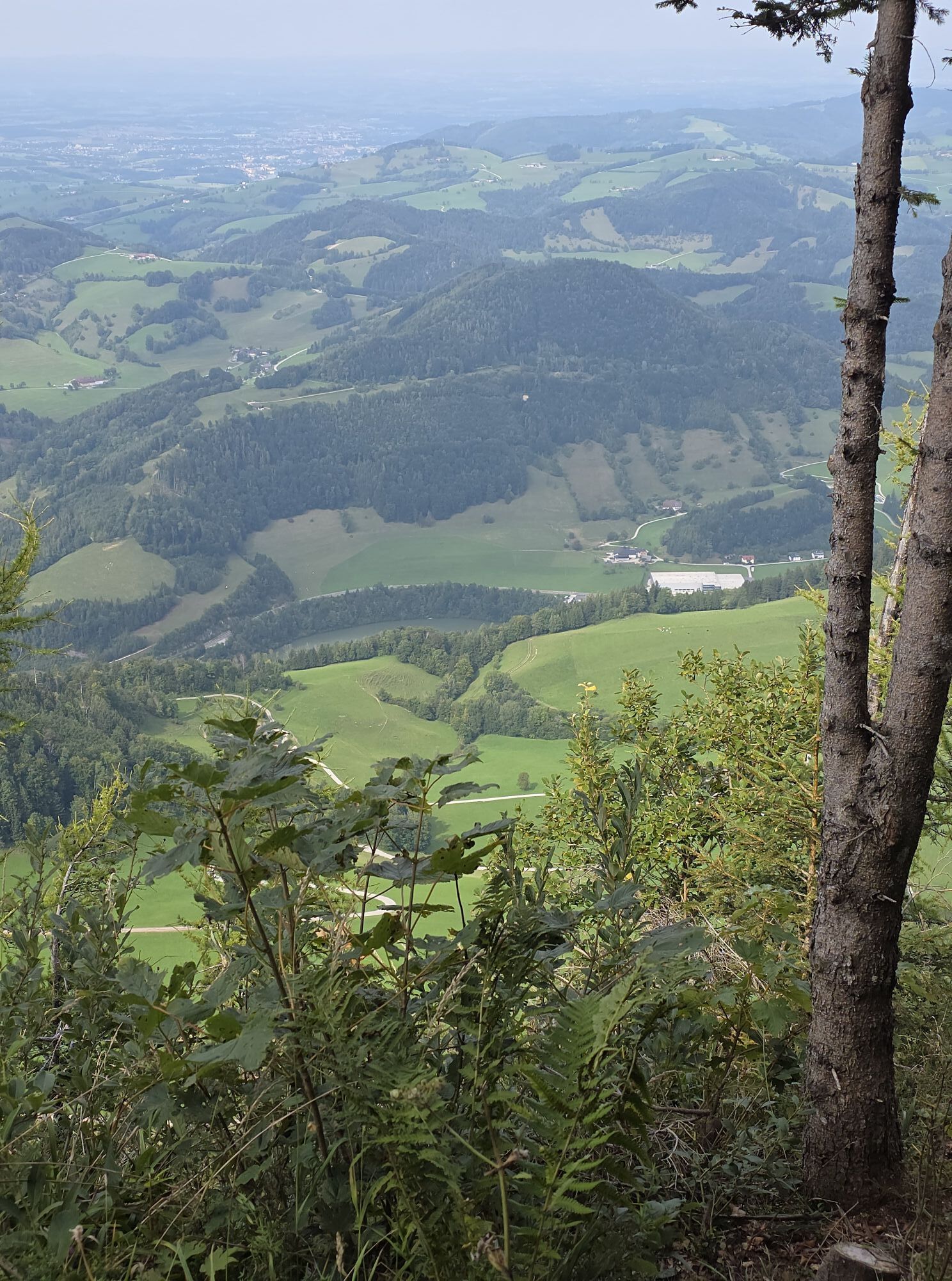


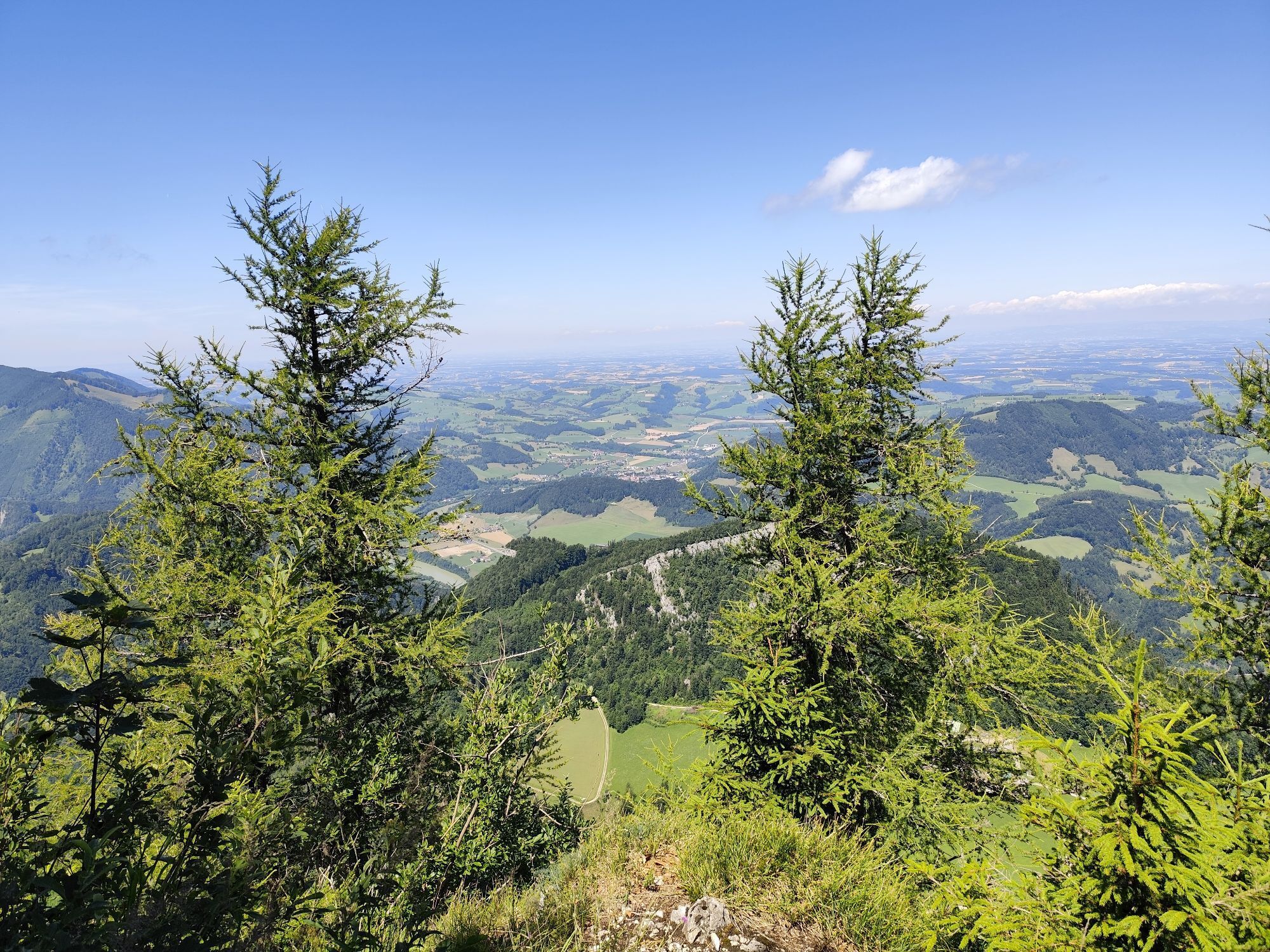


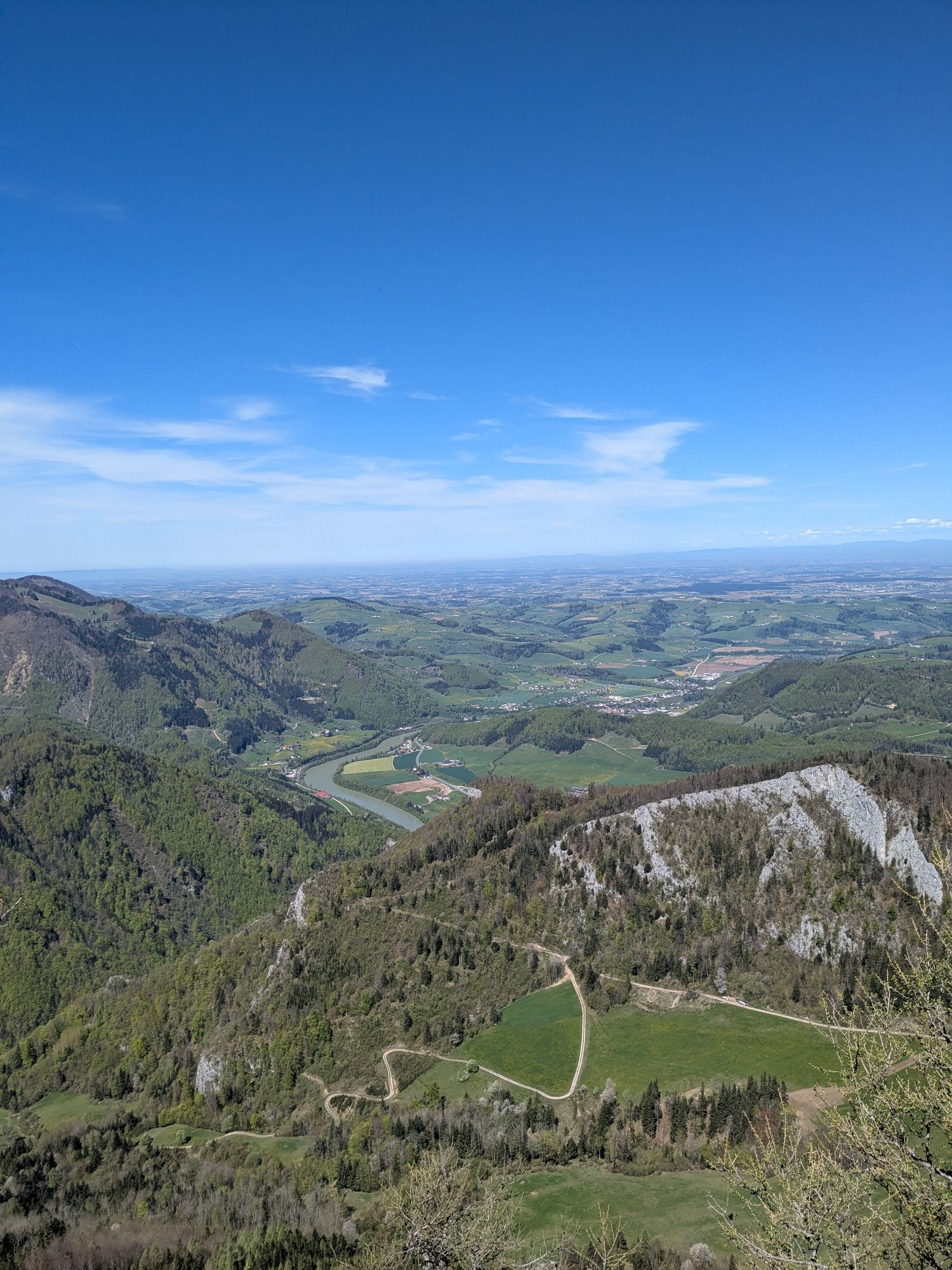


Continuously ascending towards Gschliffner Höhe or Gfallnau, the path continues in the direction of Mösern and then with different options to the Hohe Dirn and the Anton Schosser Hut.
Hiking trail: HD2


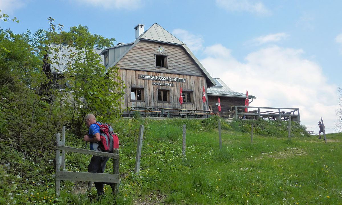
From the town center of Reichraming, the path steadily ascends towards Gschliffner Höhe or Gfallnau, continues towards Mösern, and then turns right onto the hiking trail AV-467.
At the next fork in the road, there is the option
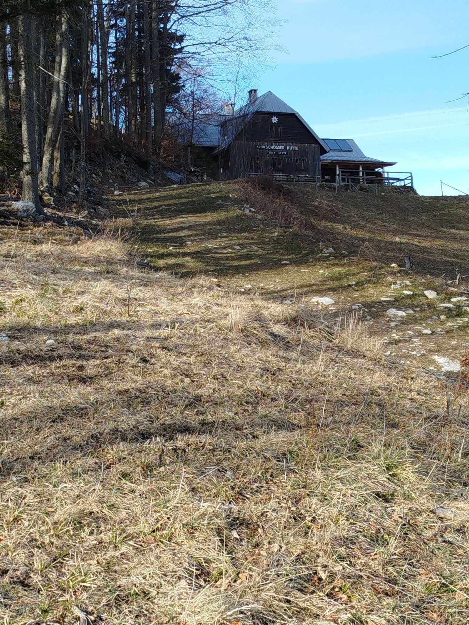
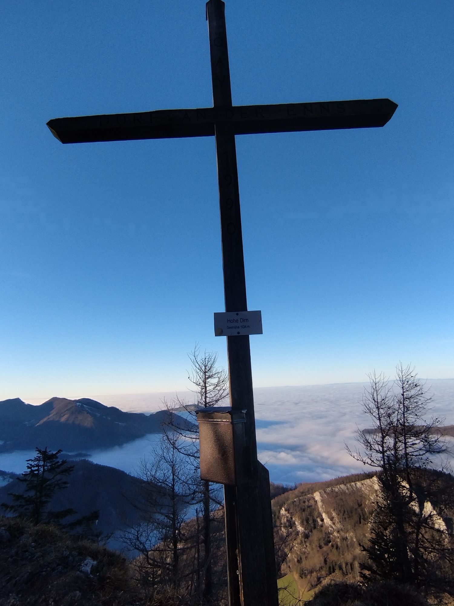
to hike via Sonnkogel on the ridge hiking trail, to go past the Anton Schosser Hut, or to walk on almost flat terrain along the forest road to the summit of Hohe Dirn.Da
From Vienna: A1 motorway exit Haag > B42 > B122 > B115 into the Enns Valley
From Passau: A8 Passau > Wels > A1 motorway exit Enns-Steyr > B115 into the Enns Valley
From Graz: A9 Pyhrnautobahn > motorway exit Klaus > Grünburg > into the Ennstal Valley
Details at www.ooevv.at
Railway Stations are located in Steyr, Garsten, Lahrndorf, Dürnbach, Ternberg, Trattenbach, Losenstein, Reichraming, Großraming, Gaflenz, Weyer, Küpfern, Kastenreith, Kleinreifling and Weißenbach-St. Gallen.
Reichraming/parking lots near the town center
Priljubljeni izleti v okolici
- 4.9
Ennser Hut - Almkogel (from Bamacher car park)
srednjaPohodništvo 3.53 km - 4.7
Grünburger Hut via Dorngraben Molln
srednjaPohodništvo 3.43 km - 4.6
Schoberstein (from Molln)
srednjaPohodništvo 3.63 km - 4.8
Steinerner Jäger (1185m) und Schieferstein (1206m) ab Parkplatz Hochhabichler
srednjaPohodništvo 4.46 km - 4.6
Rinnende Mauer - Gorge Trail
srednjaPohodništvo 7.20 km - 4.7
GROSSRAMING Bamacher, Burgspitz, Almkogel, Ennshütte 20240730
srednjaPohodništvo 10 km - 4.5
Pfaffenmauer - Schoberstein - Gipfel der Lust Gasthof Klausriegler, Oberösterreich/Österreich
srednjaPohodništvo 9.72 km - 4.5
Ternberg -Schoberstein
srednjaPohodništvo 6.60 km - 4.5
Dürres Eck - Gaisberg - Hochbuchberg
srednjaPohodništvo 11.2 km - 4.4
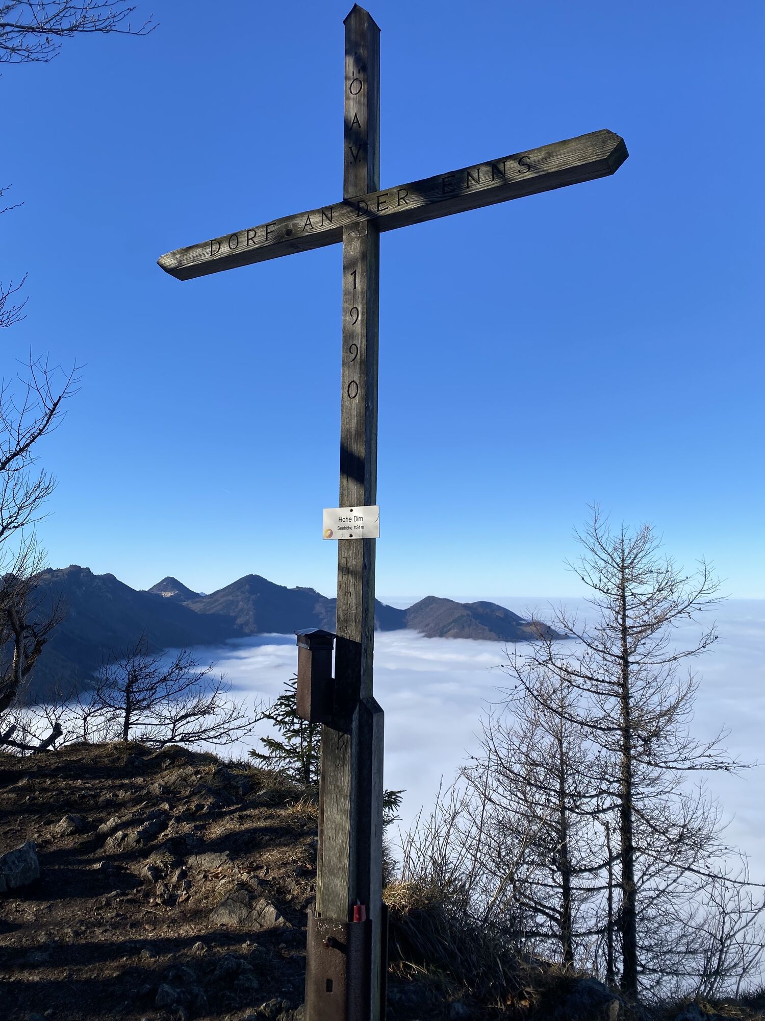
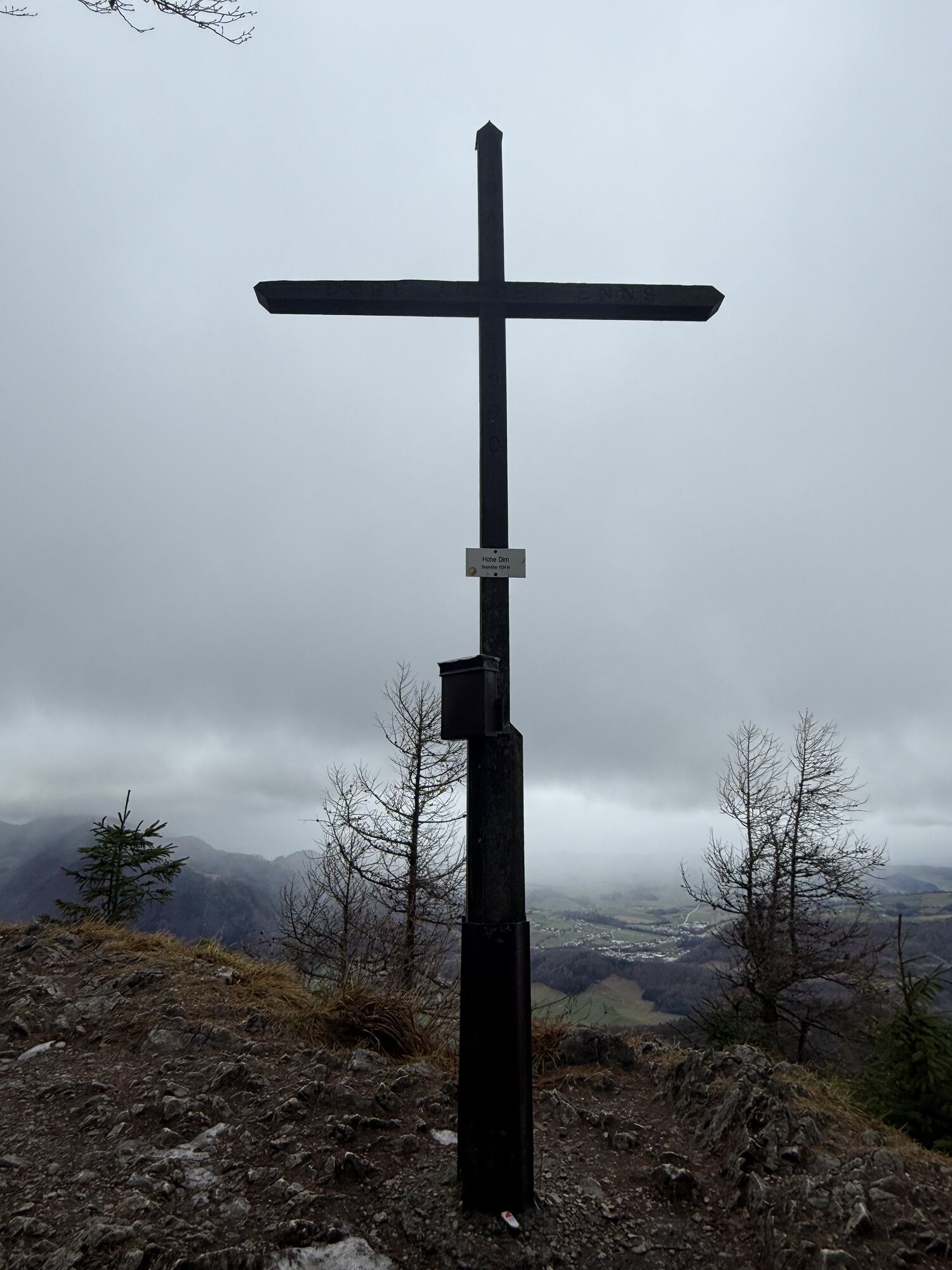
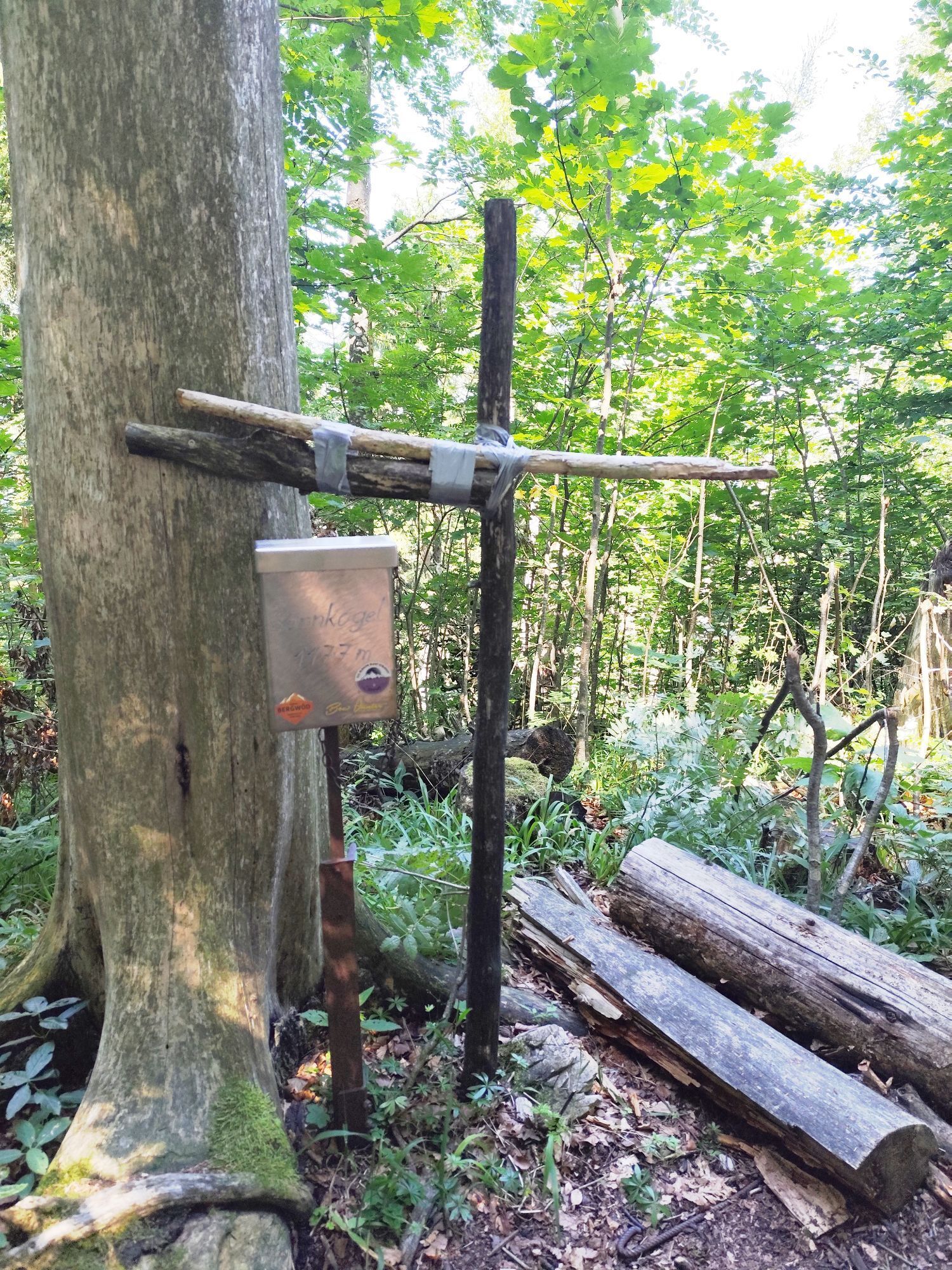
Sonnkogel (1177m) und Hohe Dirn (1134m) ab Parkplatz Hohe Dirn
srednjaPohodništvo 7.71 km
Pohodništvo in sledenje


Ne zamudite ponudb in navdiha za naslednje počitnice
Vaš e-poštni naslov je bil dodan na poštni seznam.