


Ennser Hut - Almkogel (from Bamacher car park)


Fotografije naših uporabnikov

 © Wenzl73Ustvarjeno na 16.11.2024
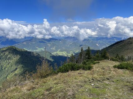
 © Patrick Gensinger 1Ustvarjeno na 22.09.2022
 © kstbUstvarjeno na 05.11.2025
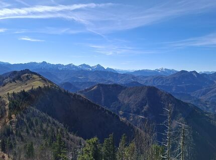 © kstbUstvarjeno na 05.11.2025
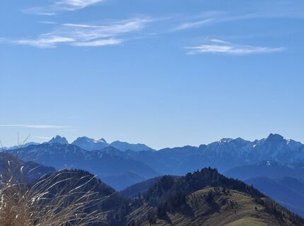 © kstbUstvarjeno na 05.11.2025
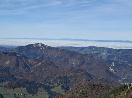 © kstbUstvarjeno na 05.11.2025
 © kstbUstvarjeno na 05.11.2025
 © kstbUstvarjeno na 05.11.2025
 © kstbUstvarjeno na 05.11.2025
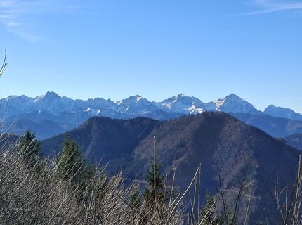 © kstbUstvarjeno na 05.11.2025
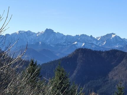 © kstbUstvarjeno na 05.11.2025
 © kstbUstvarjeno na 05.11.2025
 © kstbUstvarjeno na 05.11.2025
 © kstbUstvarjeno na 05.11.2025
 © kstbUstvarjeno na 05.11.2025
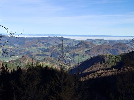 © kstbUstvarjeno na 05.11.2025
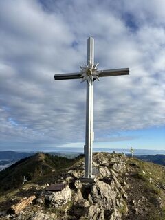
 © Berg NoarUstvarjeno na 04.10.2025
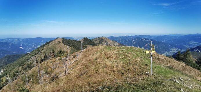
 © Paula SedláčekUstvarjeno na 21.09.2025
 © Paula SedláčekUstvarjeno na 21.09.2025
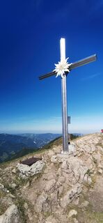 © Paula SedláčekUstvarjeno na 21.09.2025
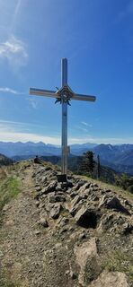 © Paula SedláčekUstvarjeno na 21.09.2025
 © Paula SedláčekUstvarjeno na 21.09.2025
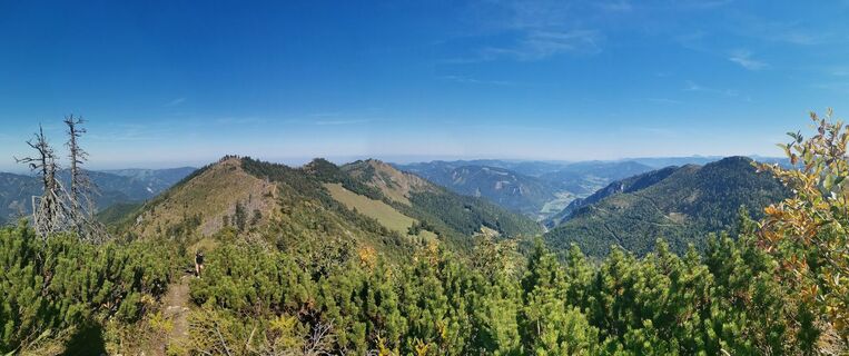 © Paula SedláčekUstvarjeno na 21.09.2025
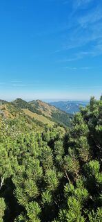 © Paula SedláčekUstvarjeno na 21.09.2025
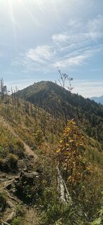 © Paula SedláčekUstvarjeno na 21.09.2025
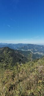 © Paula SedláčekUstvarjeno na 21.09.2025
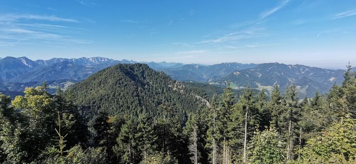 © Paula SedláčekUstvarjeno na 21.09.2025
 © WernerUstvarjeno na 01.05.2025
 © Harald SonnleitnerUstvarjeno na 19.02.2025
 © Erwin traunerUstvarjeno na 01.02.2025
 © Johann SchörkhuberUstvarjeno na 27.12.2024
 © Johann SchörkhuberUstvarjeno na 27.12.2024
 © Schurli1977Ustvarjeno na 01.11.2024
 © Schurli1977Ustvarjeno na 01.11.2024
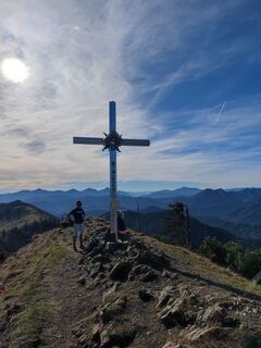 © Schurli1977Ustvarjeno na 01.11.2024
 © Schurli1977Ustvarjeno na 01.11.2024
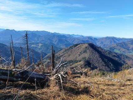 © Schurli1977Ustvarjeno na 01.11.2024
 © Schurli1977Ustvarjeno na 01.11.2024
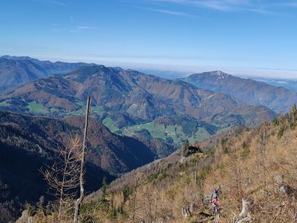 © Schurli1977Ustvarjeno na 01.11.2024
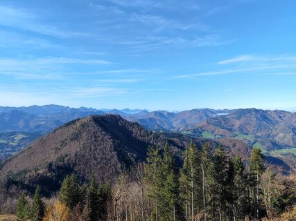 © Schurli1977Ustvarjeno na 01.11.2024
 © Peter EndlUstvarjeno na 18.07.2022
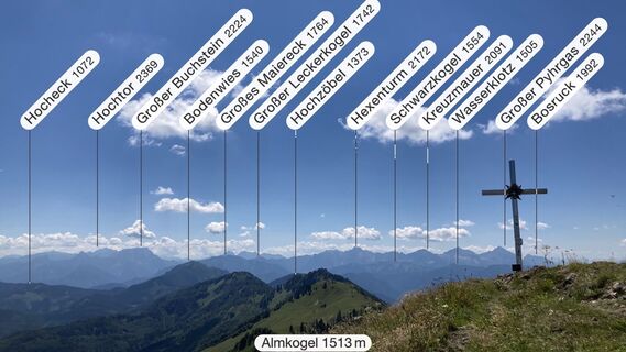 © Peter EndlUstvarjeno na 18.07.2022
 © Peter EndlUstvarjeno na 18.07.2022
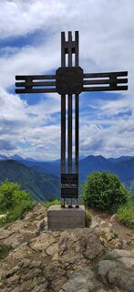
 © ReginaStUstvarjeno na 01.06.2022
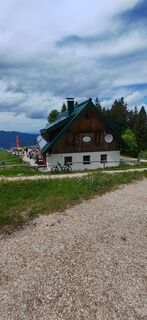 © ReginaStUstvarjeno na 01.06.2022
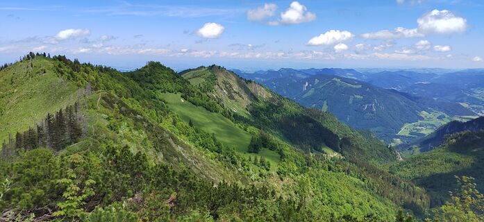 © ReginaStUstvarjeno na 01.06.2022
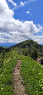 © ReginaStUstvarjeno na 01.06.2022
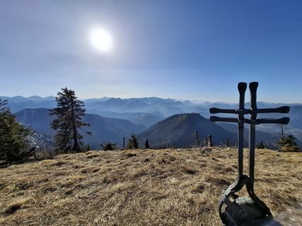
 © Stefan VAGDriverUstvarjeno na 07.03.2025
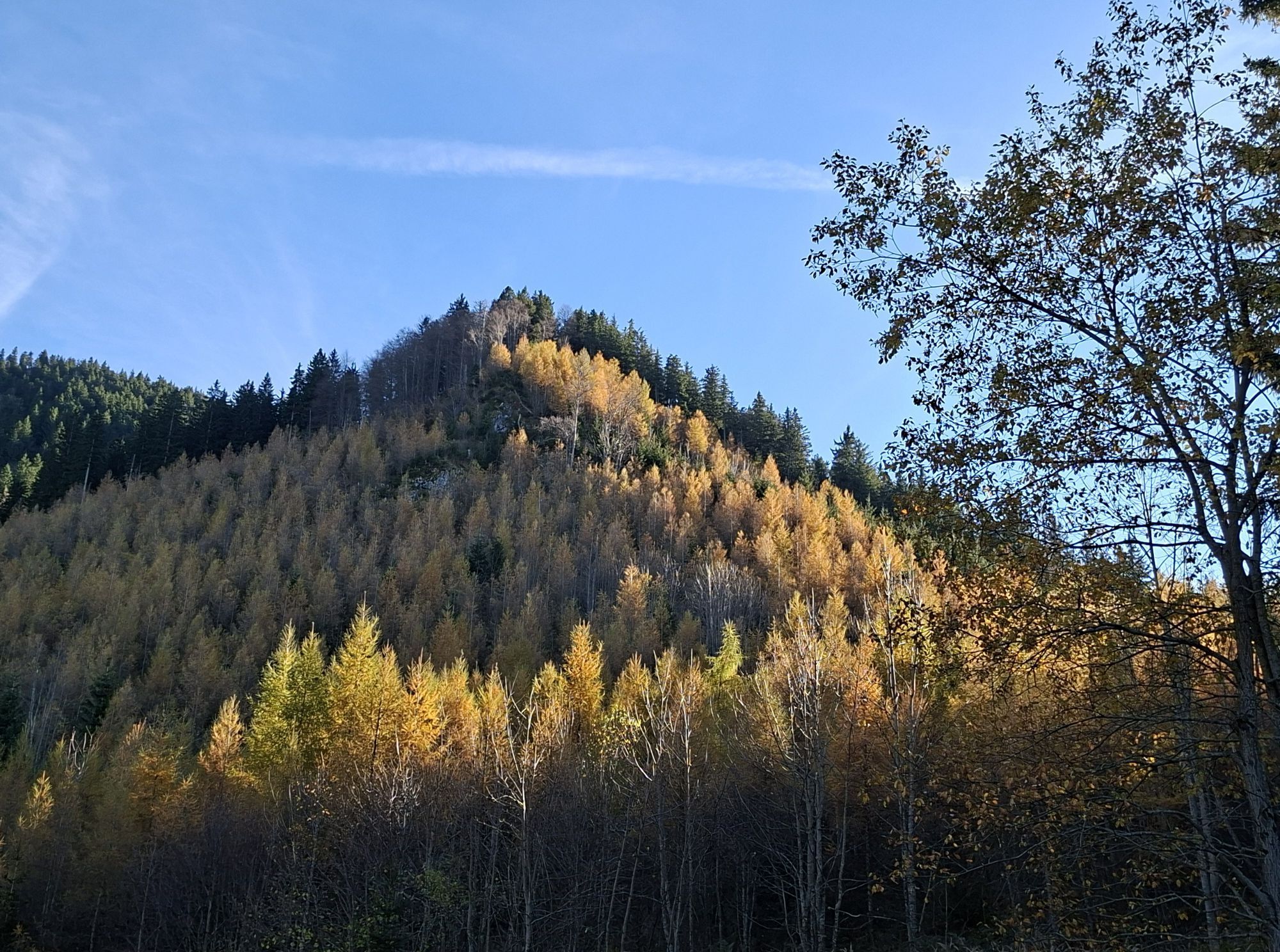


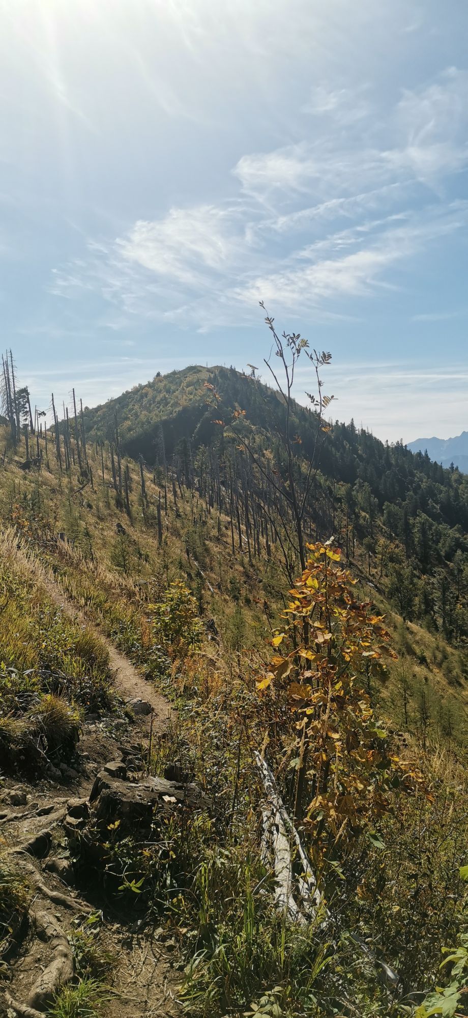

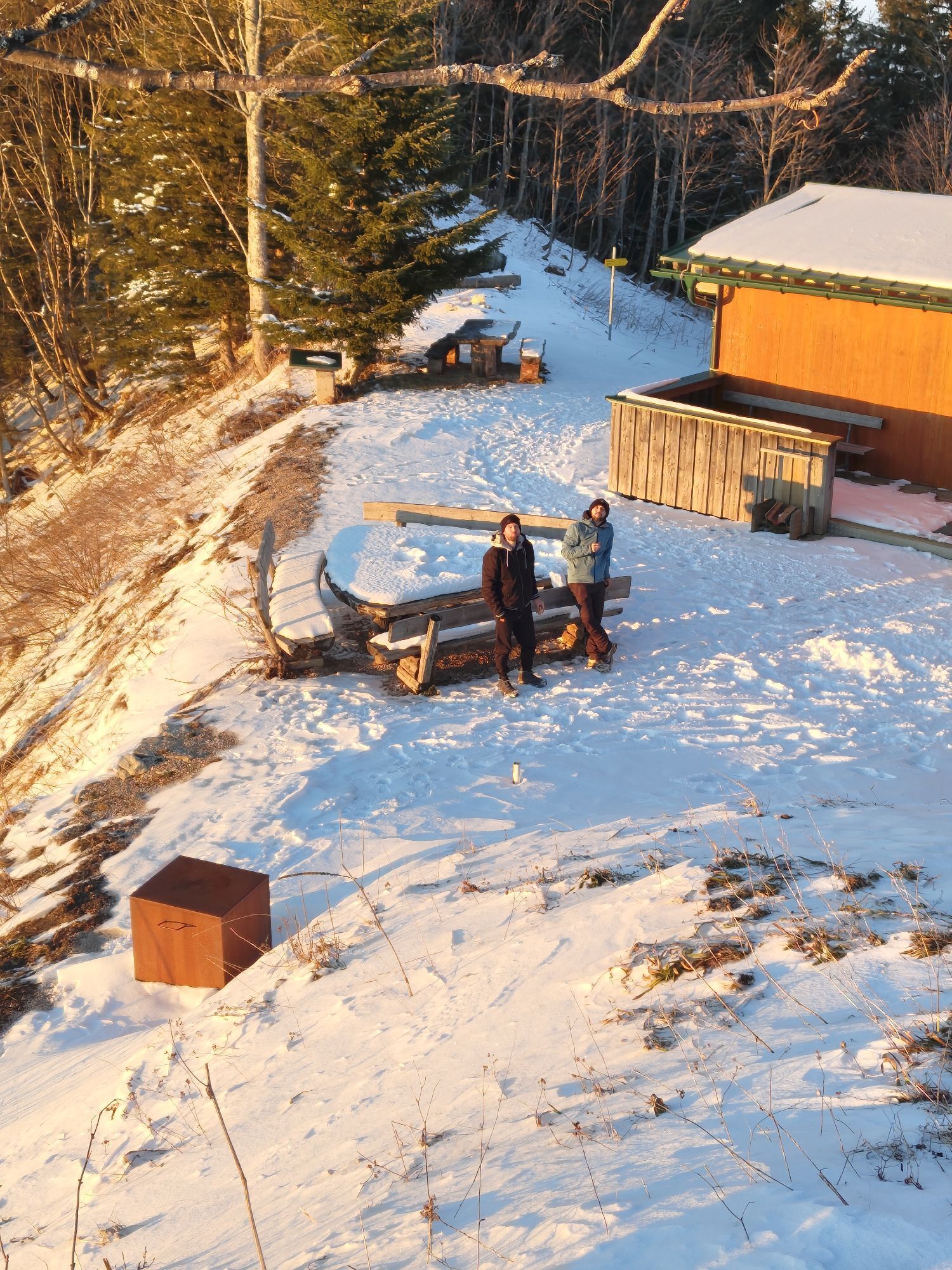
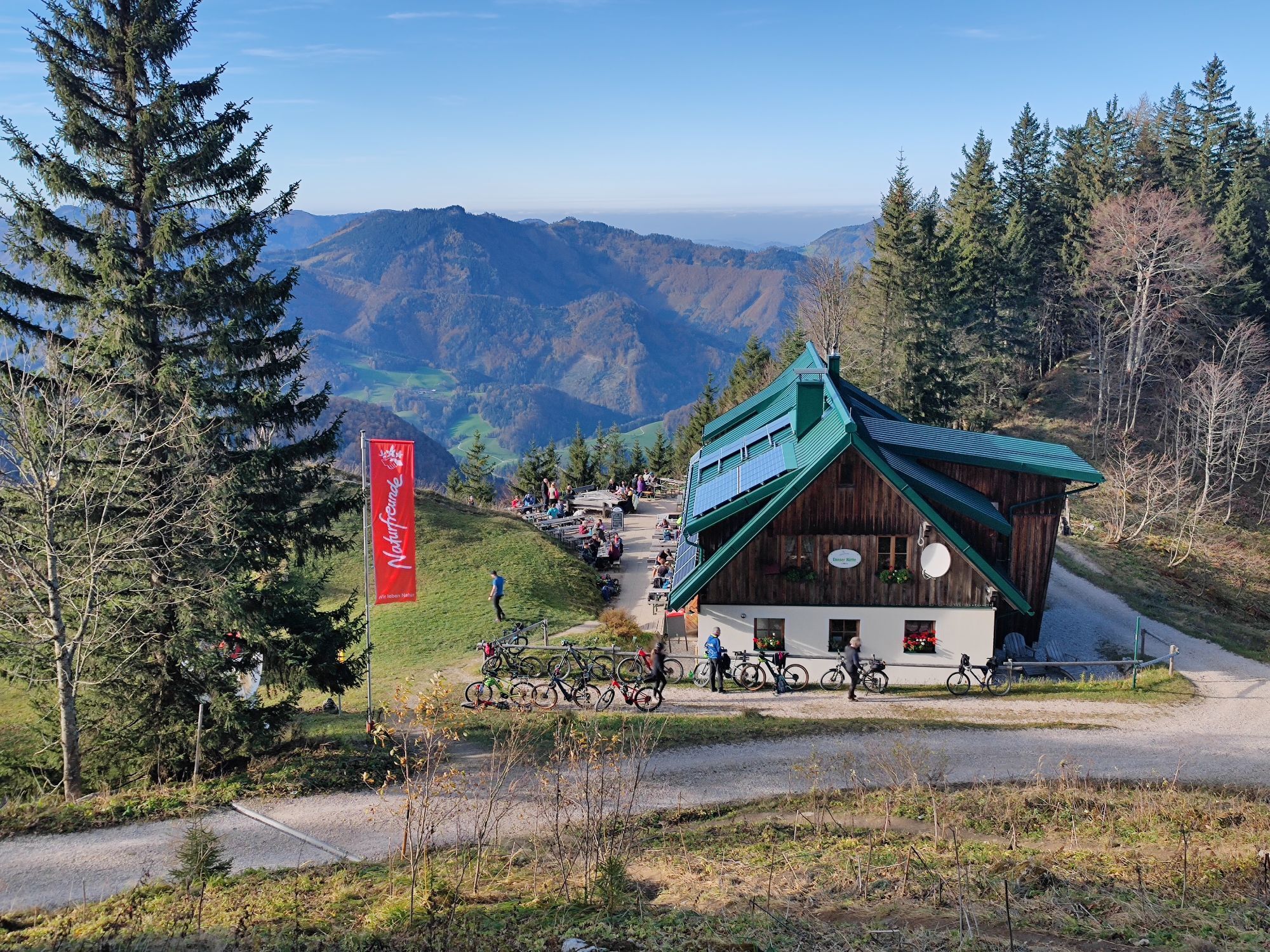
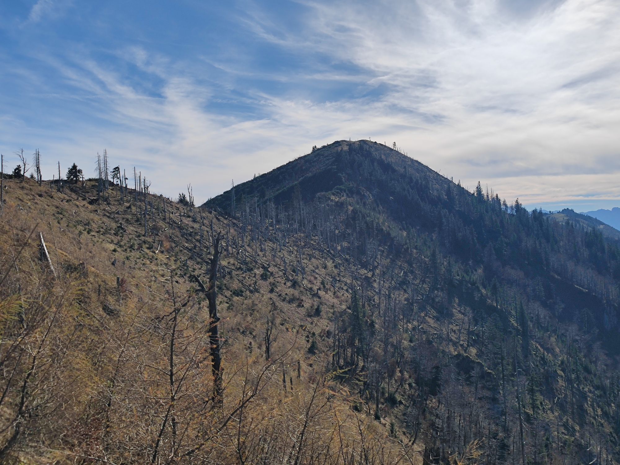

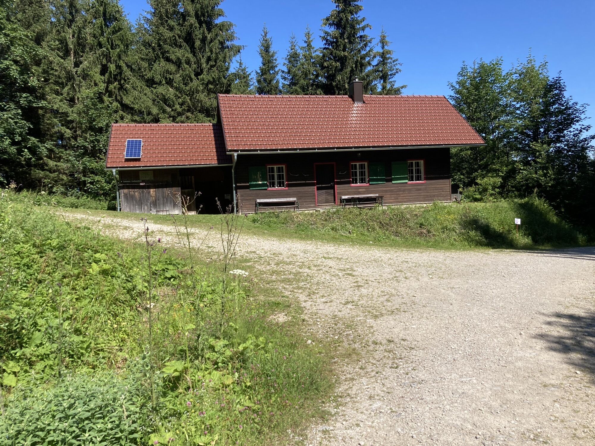
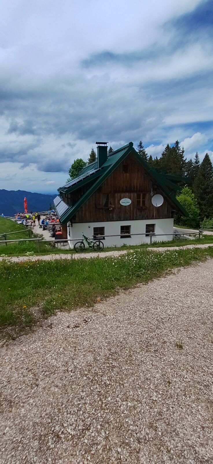

The highest summit of Großraming and the year-round operated Ennser Hut are a must in the Ennstal National Park region. From the Bamacher car park it goes uphill through forests to the Ennser Hut and then...
The highest summit of Großraming and the year-round operated Ennser Hut are a must in the Ennstal National Park region. From the Bamacher car park it goes uphill through forests to the Ennser Hut and then to the Almkogel.
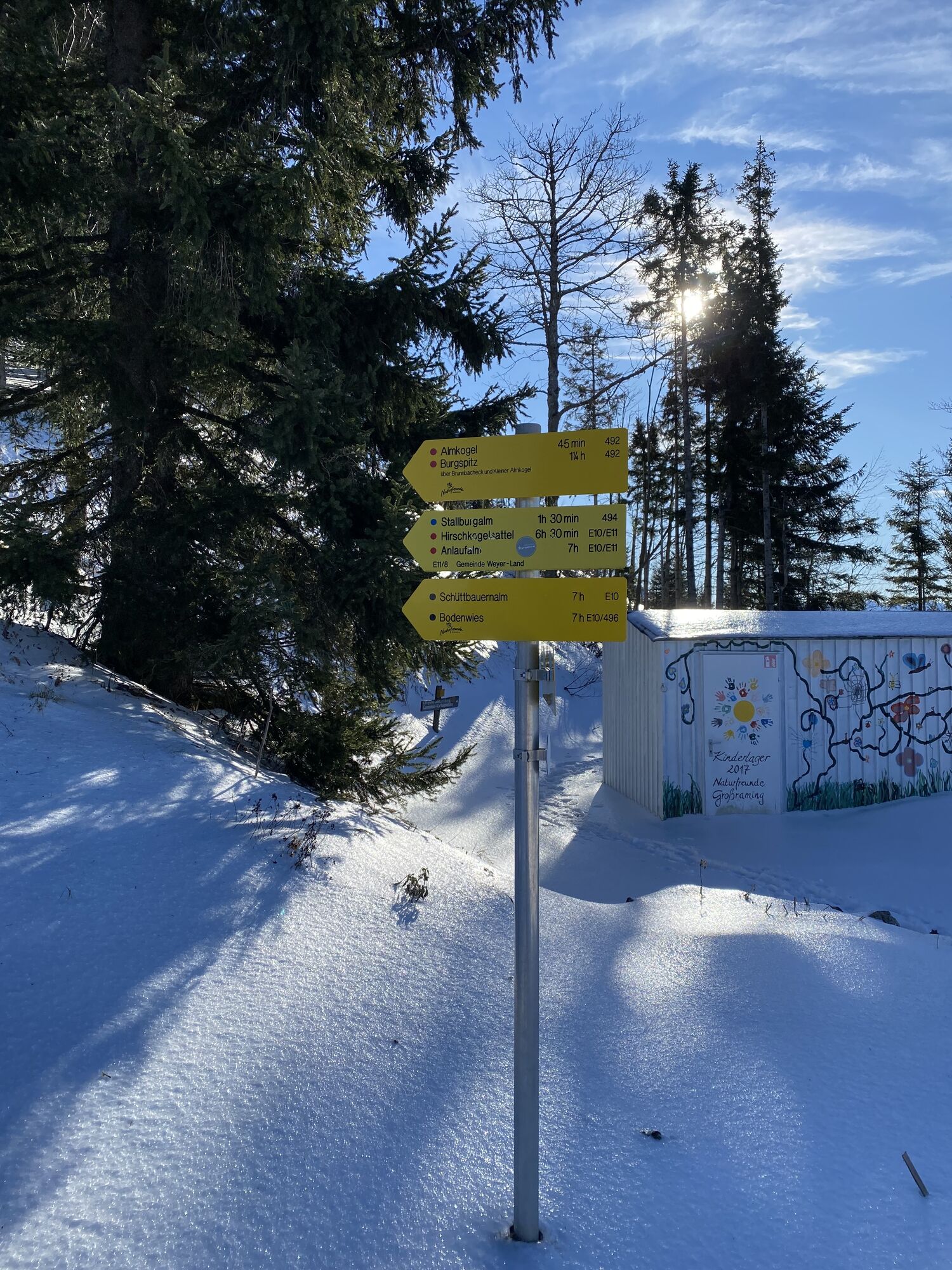
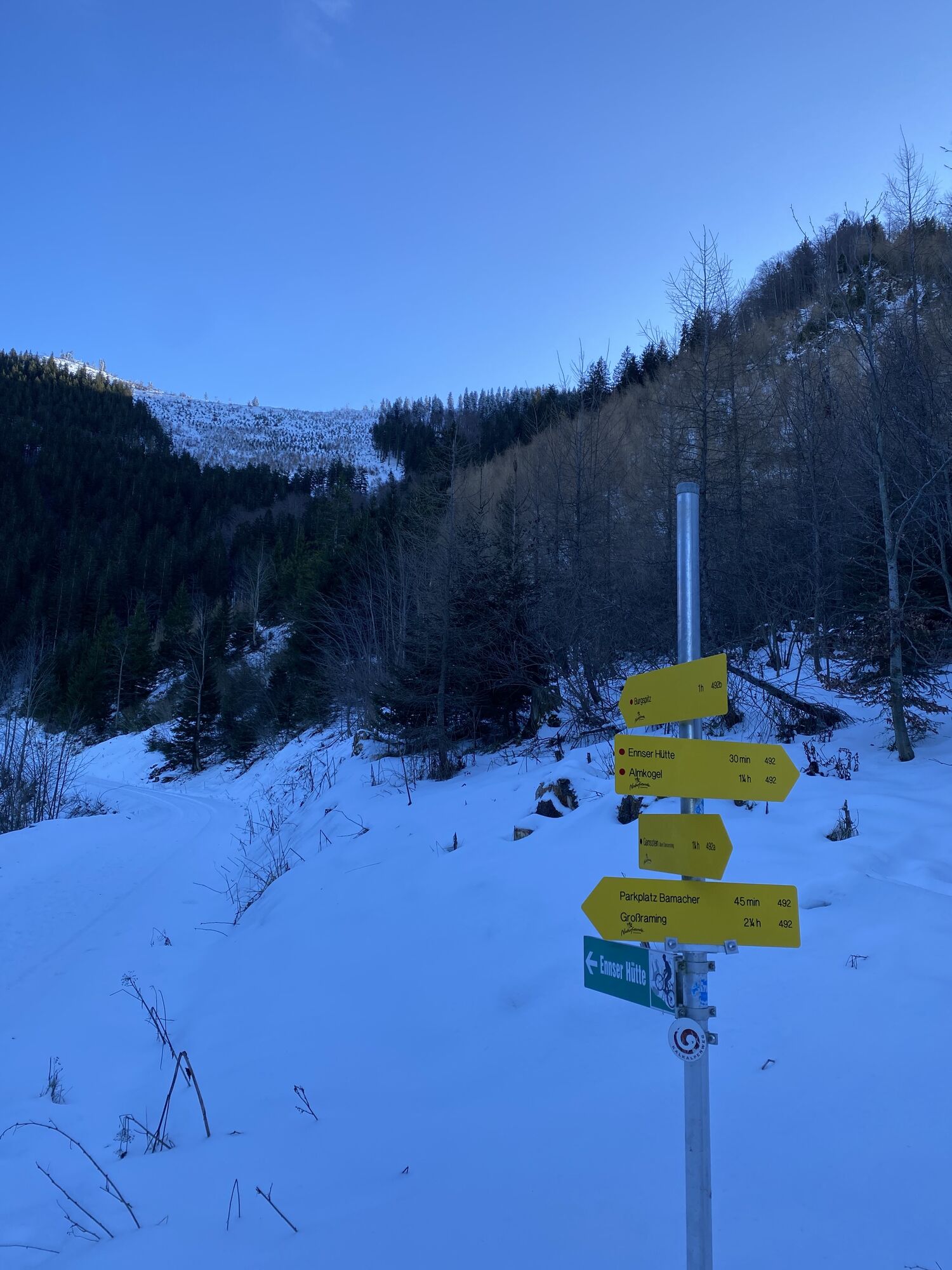
Hiking trail: 492


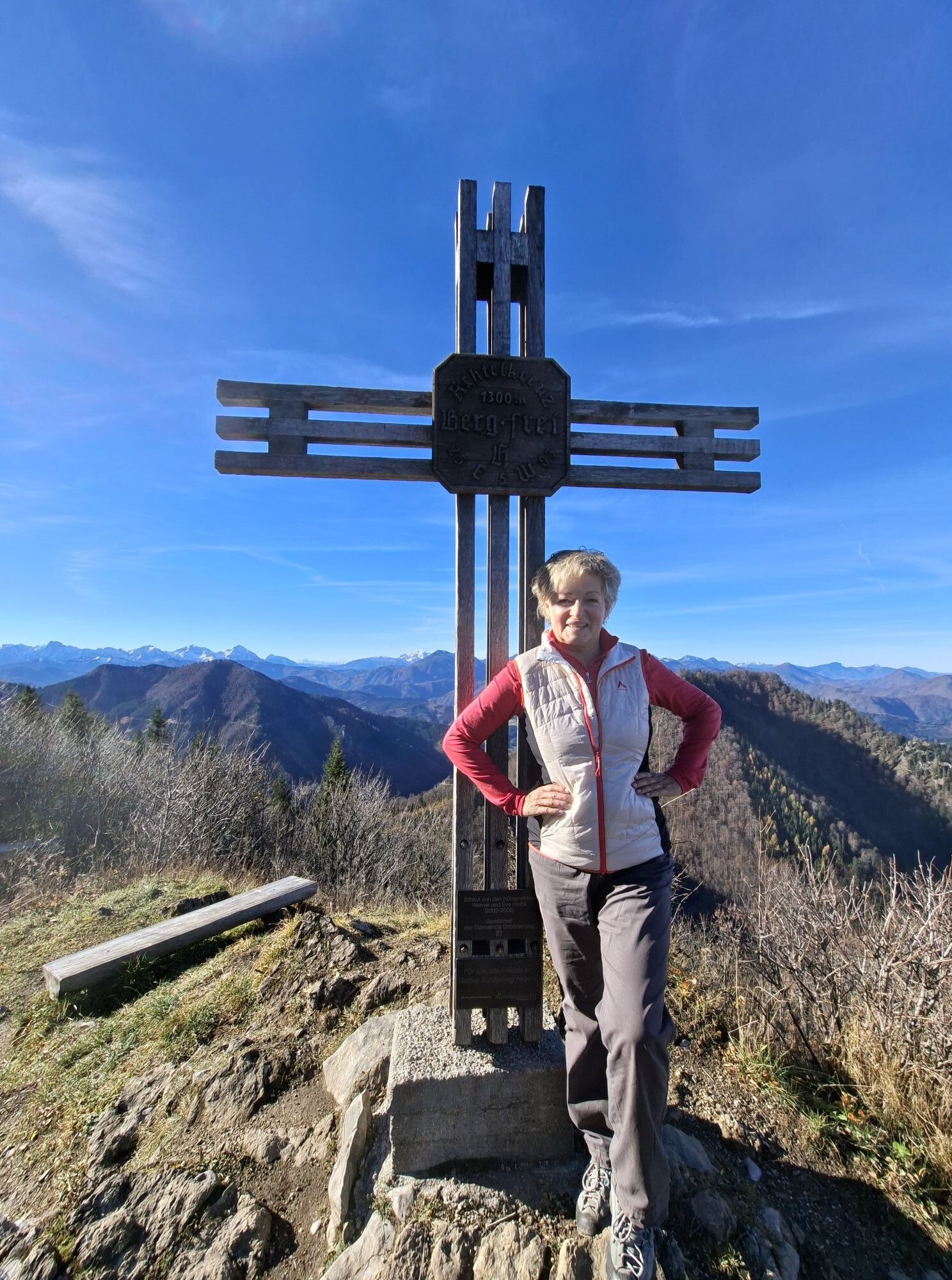
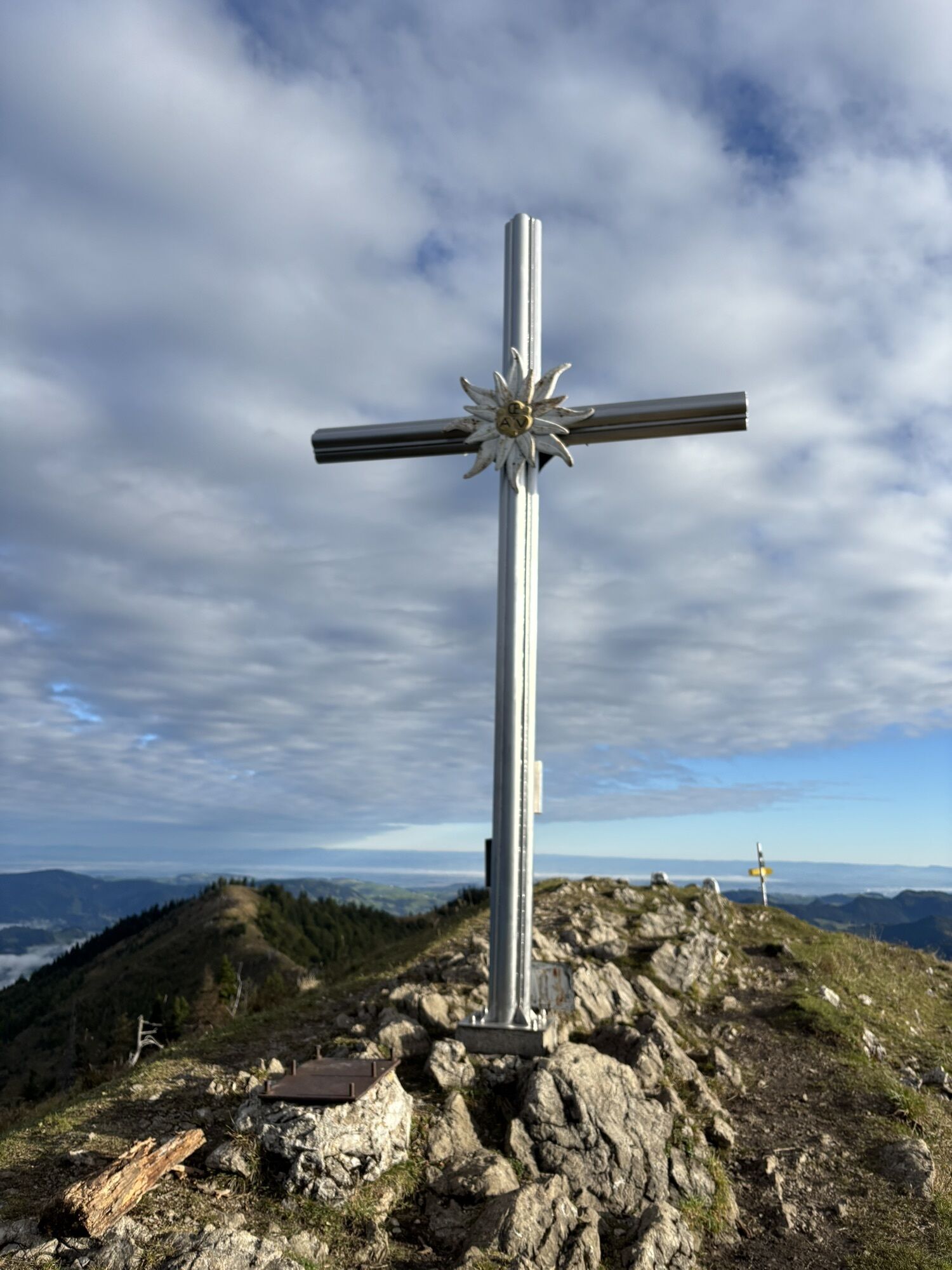
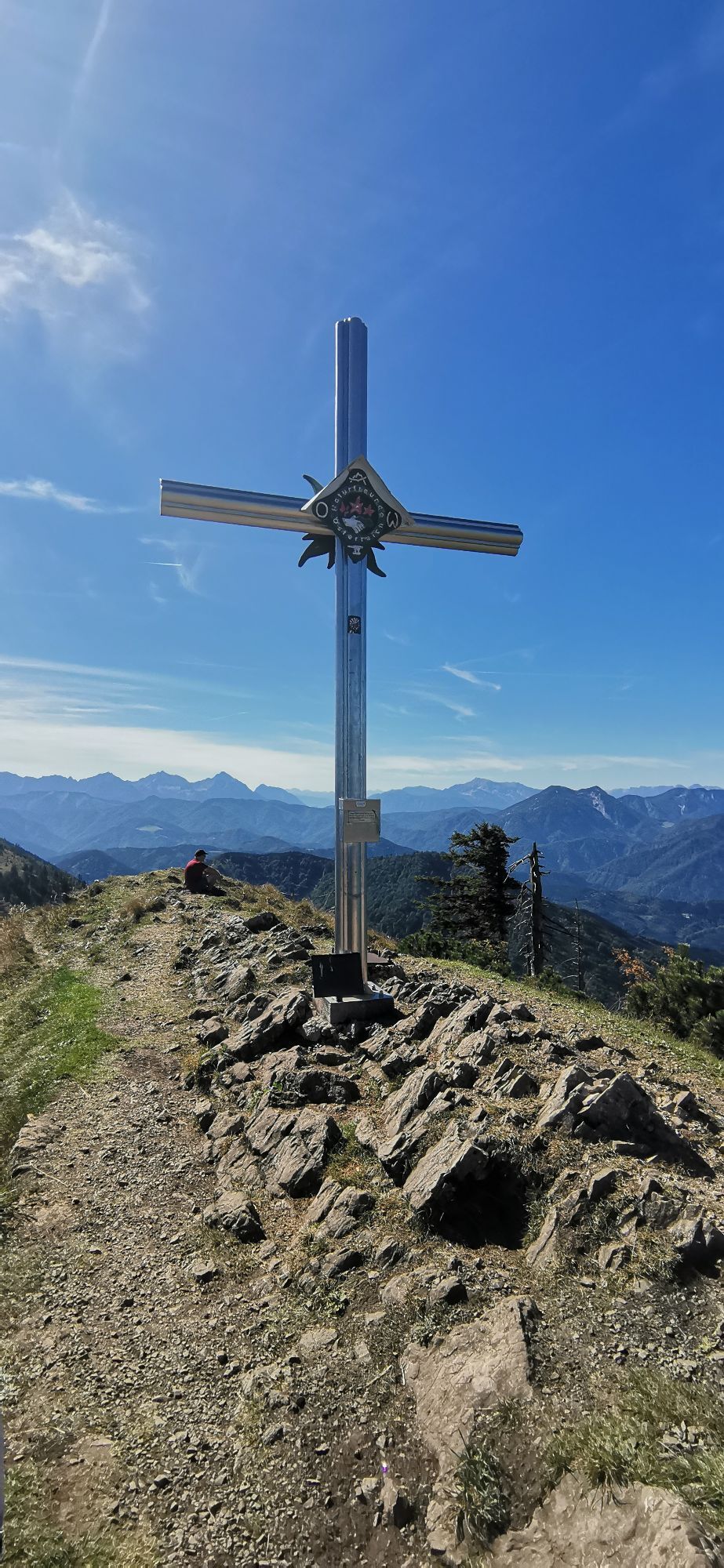
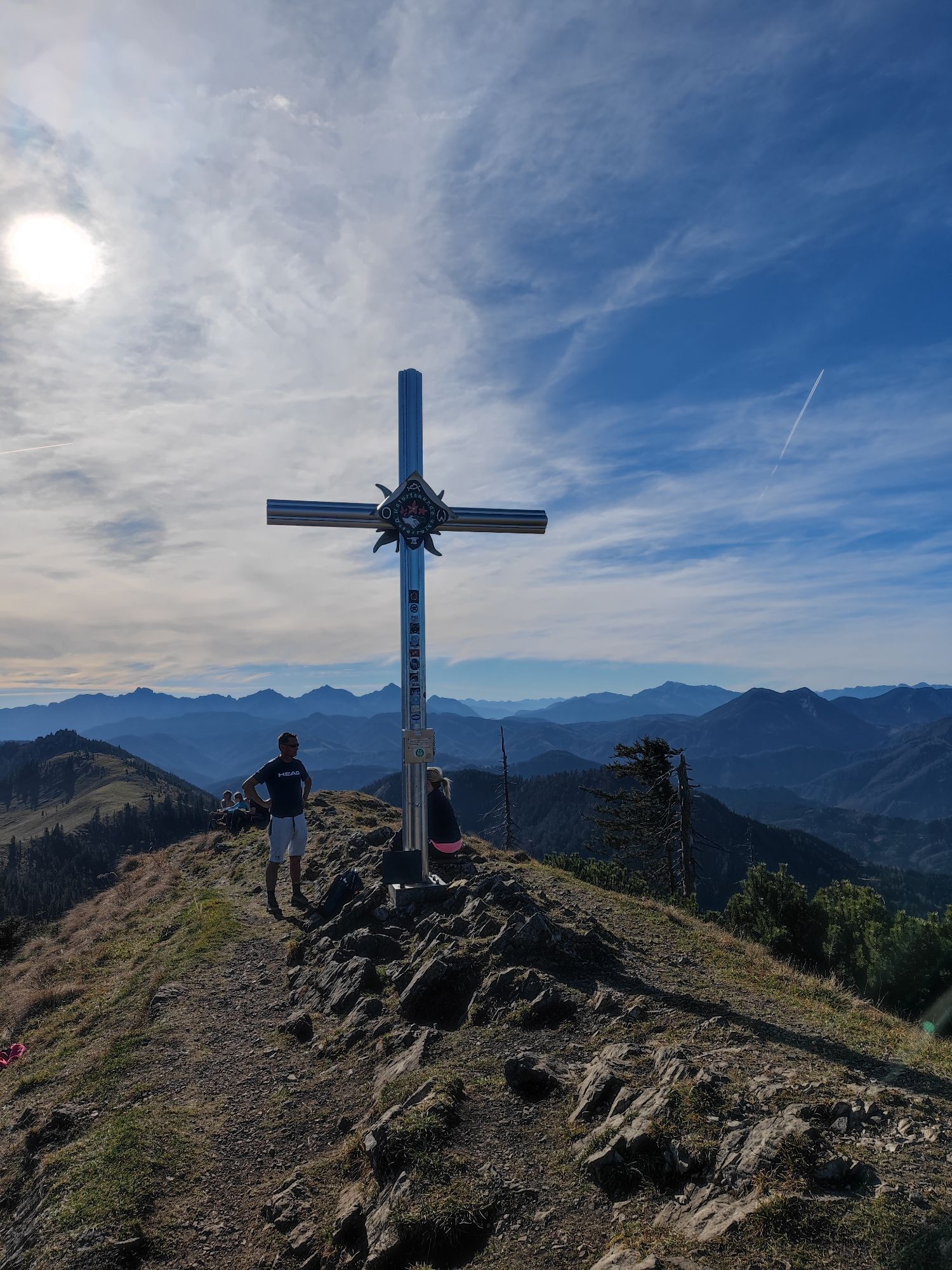
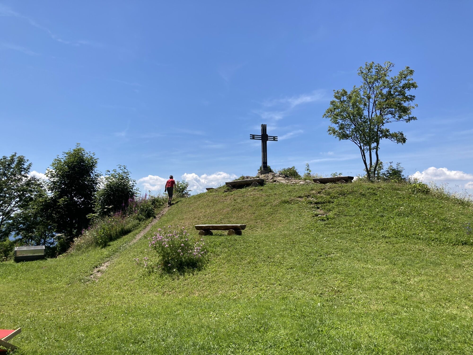
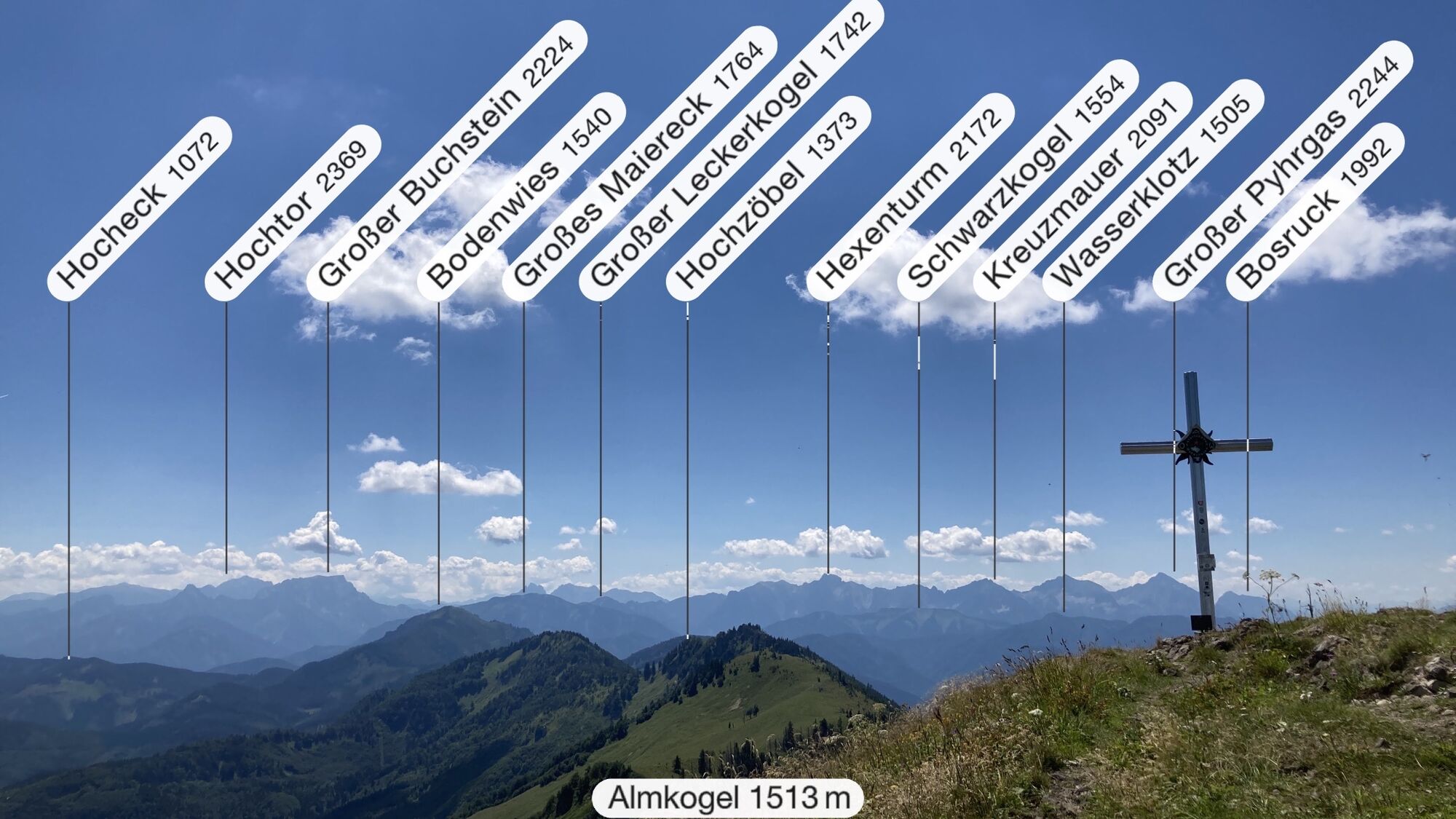
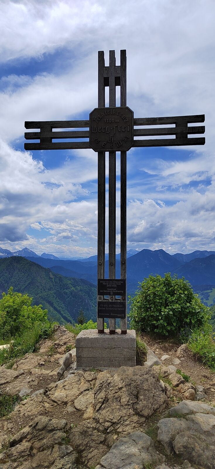
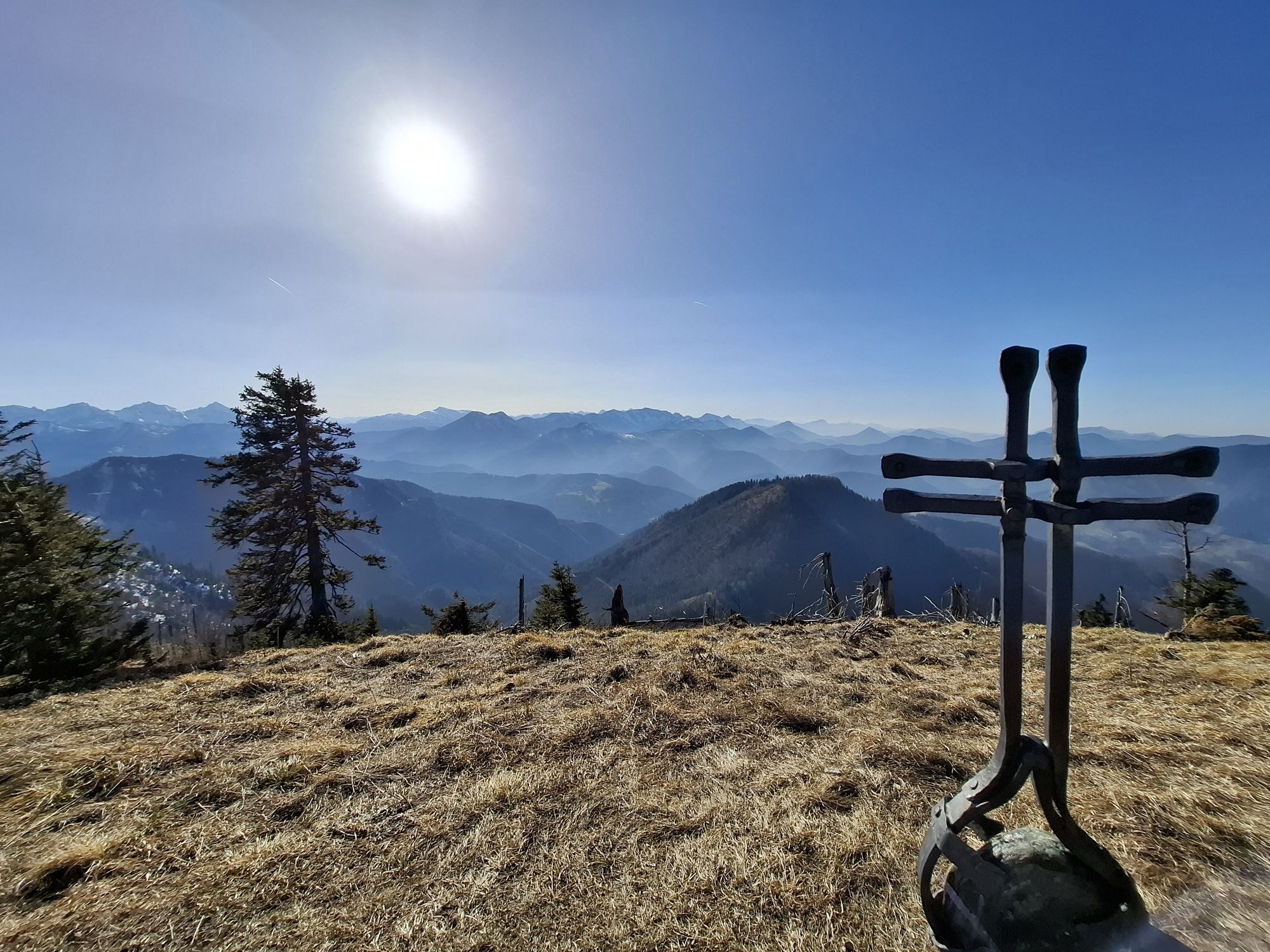
This hike leads to the highest summit of Großraming, the Almkogel at 1,513 m. There are two ascent options, either from Großraming railway station on hiking trail 492, about 3 hours to the Ennser Hut (1,293 m) or by car to the Bamacher car park. From there, about 1 hour to the hut. The summit of Almkogel (1,513 m) can then be reached in 45 minutes.
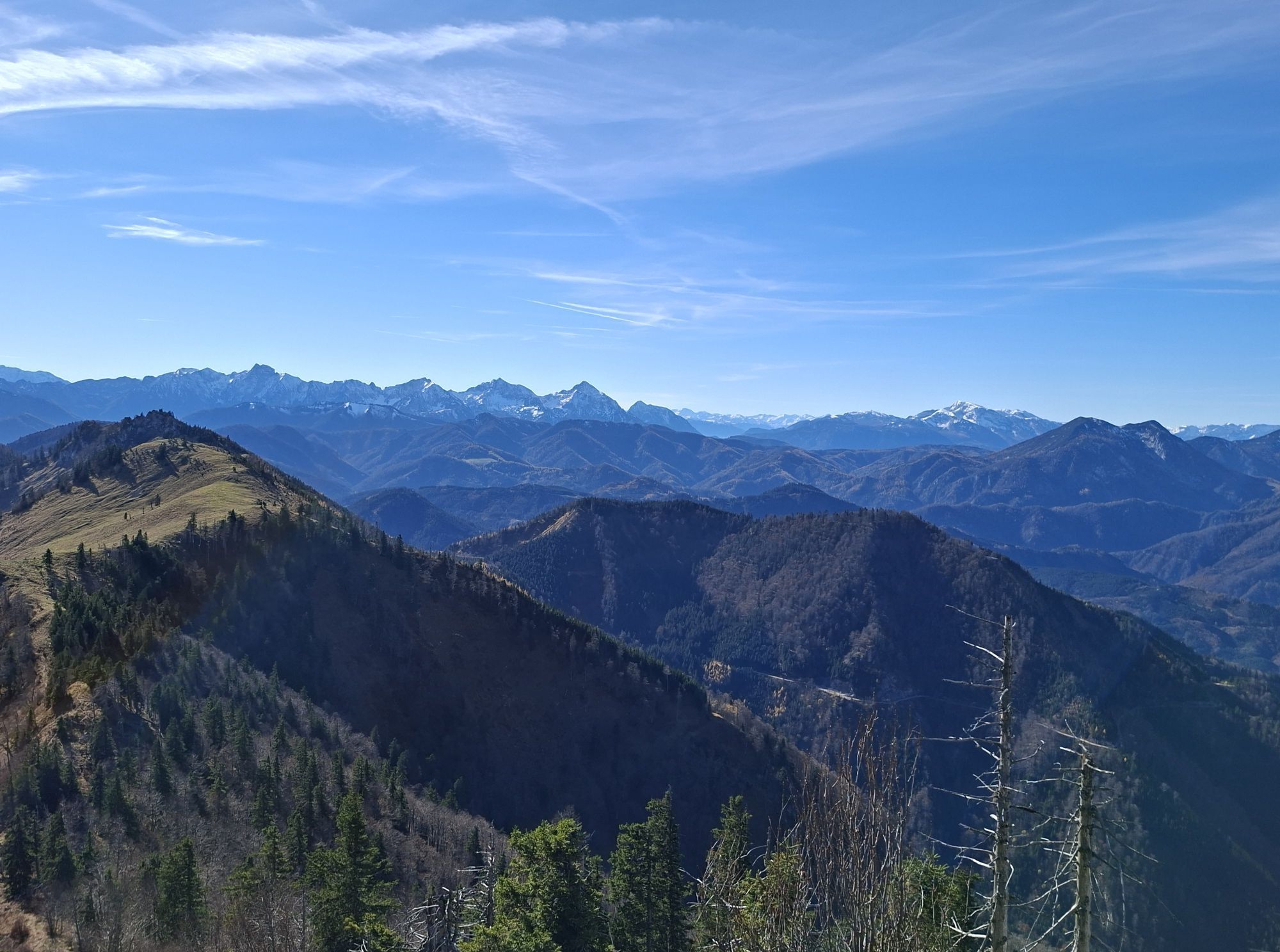
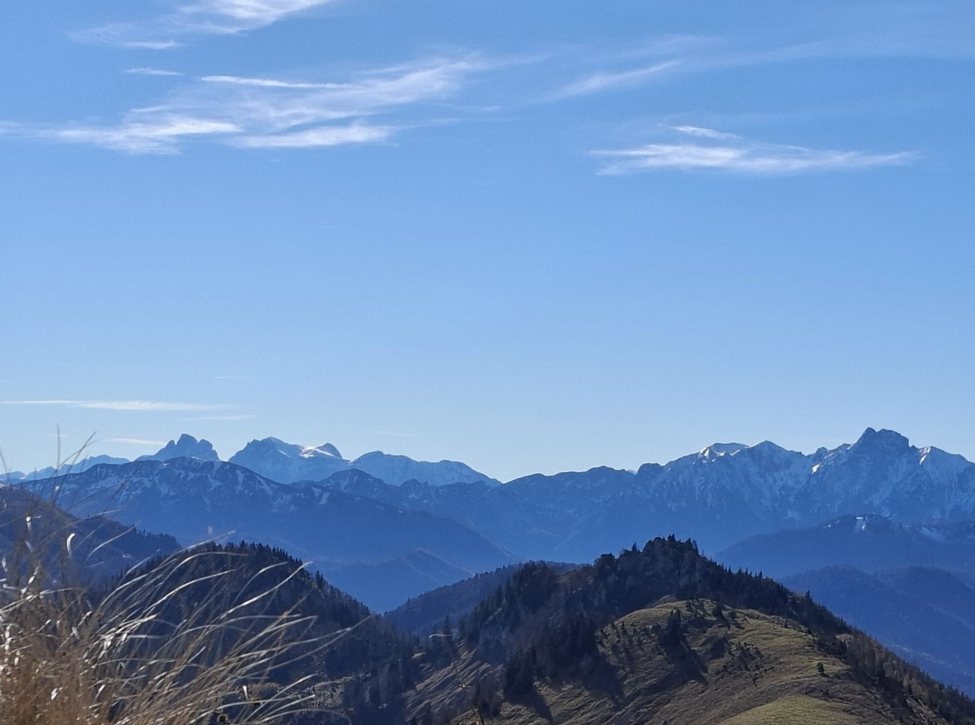
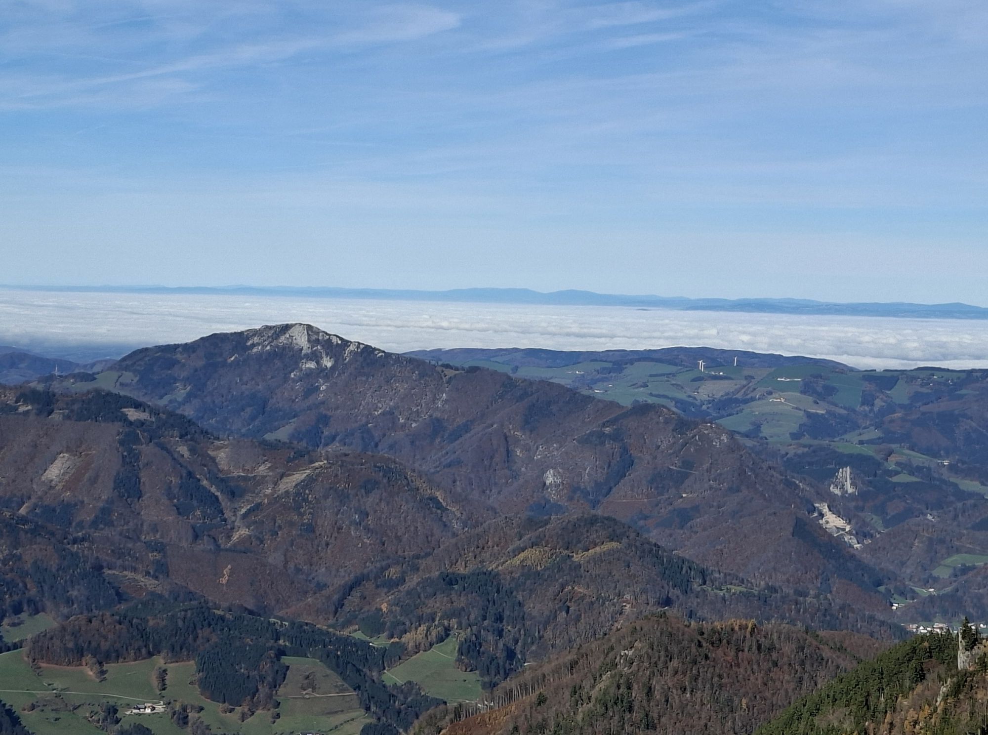
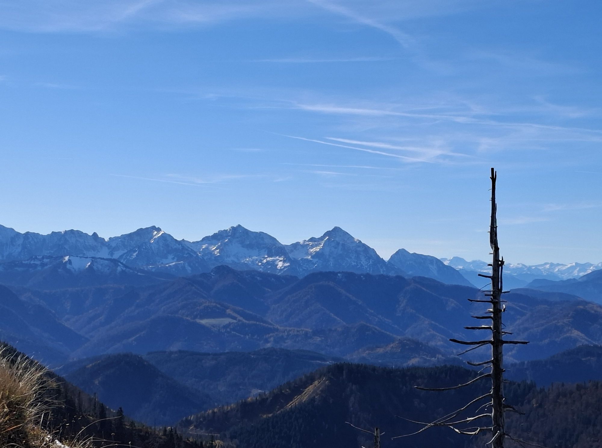
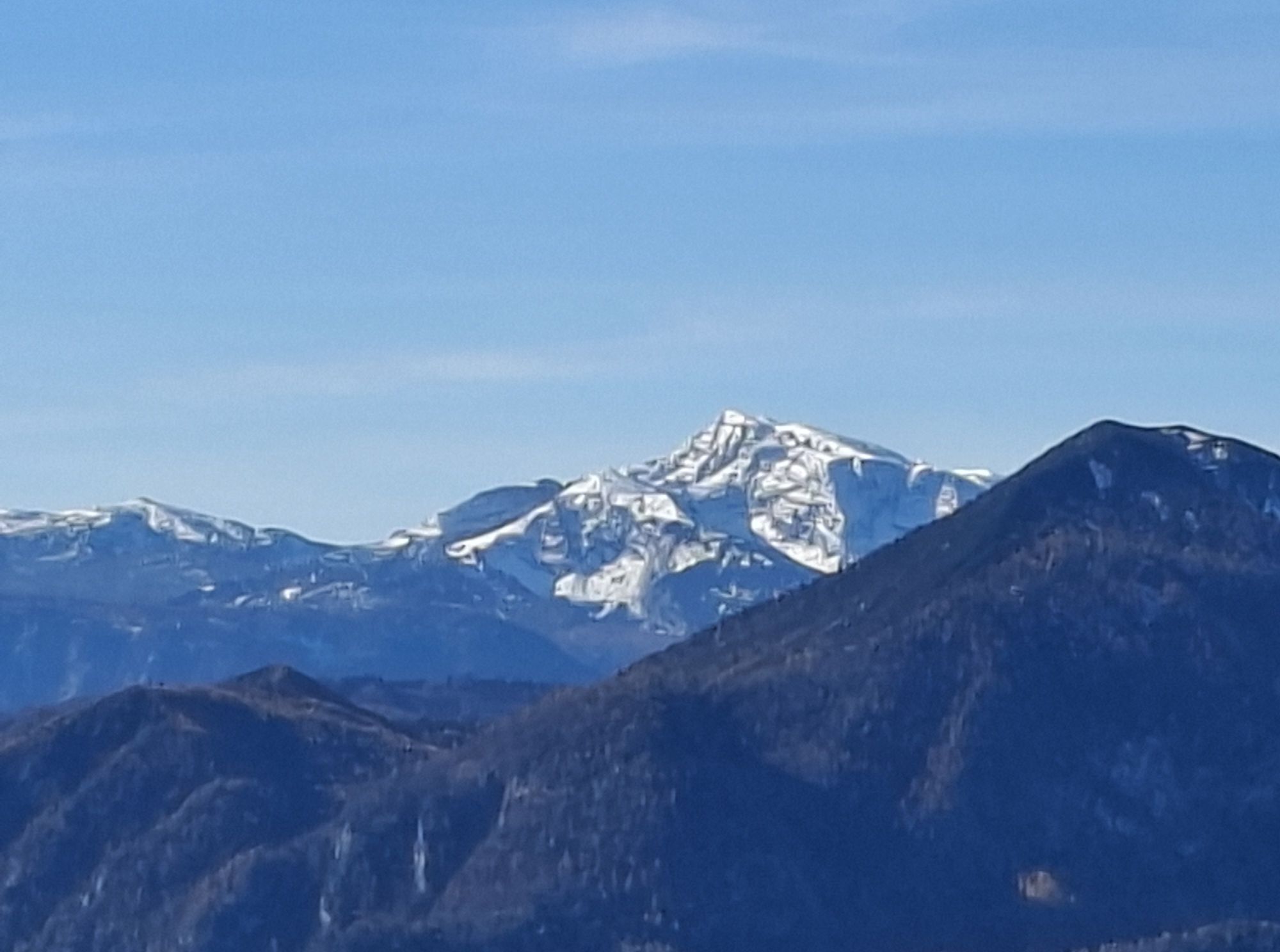
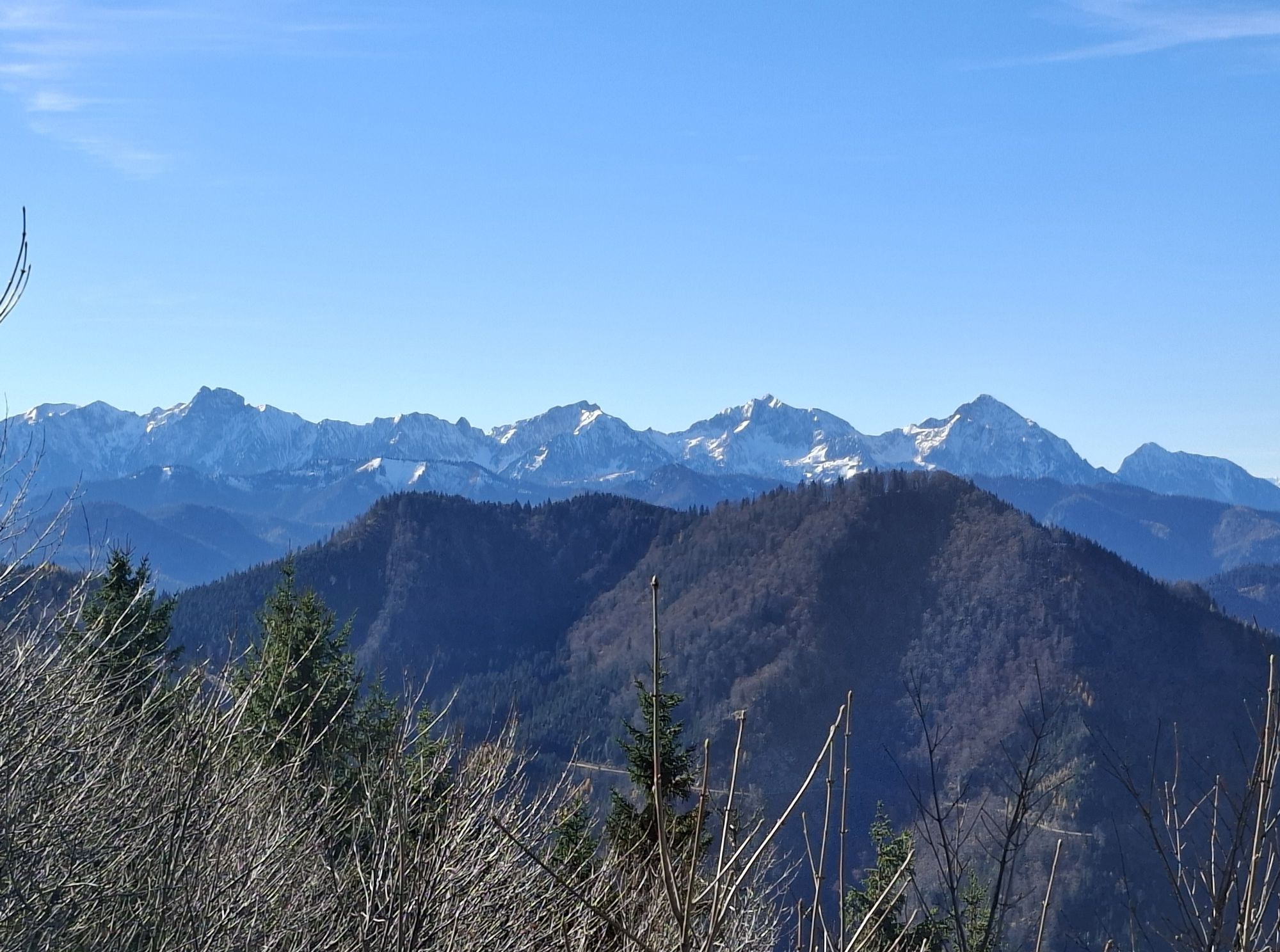
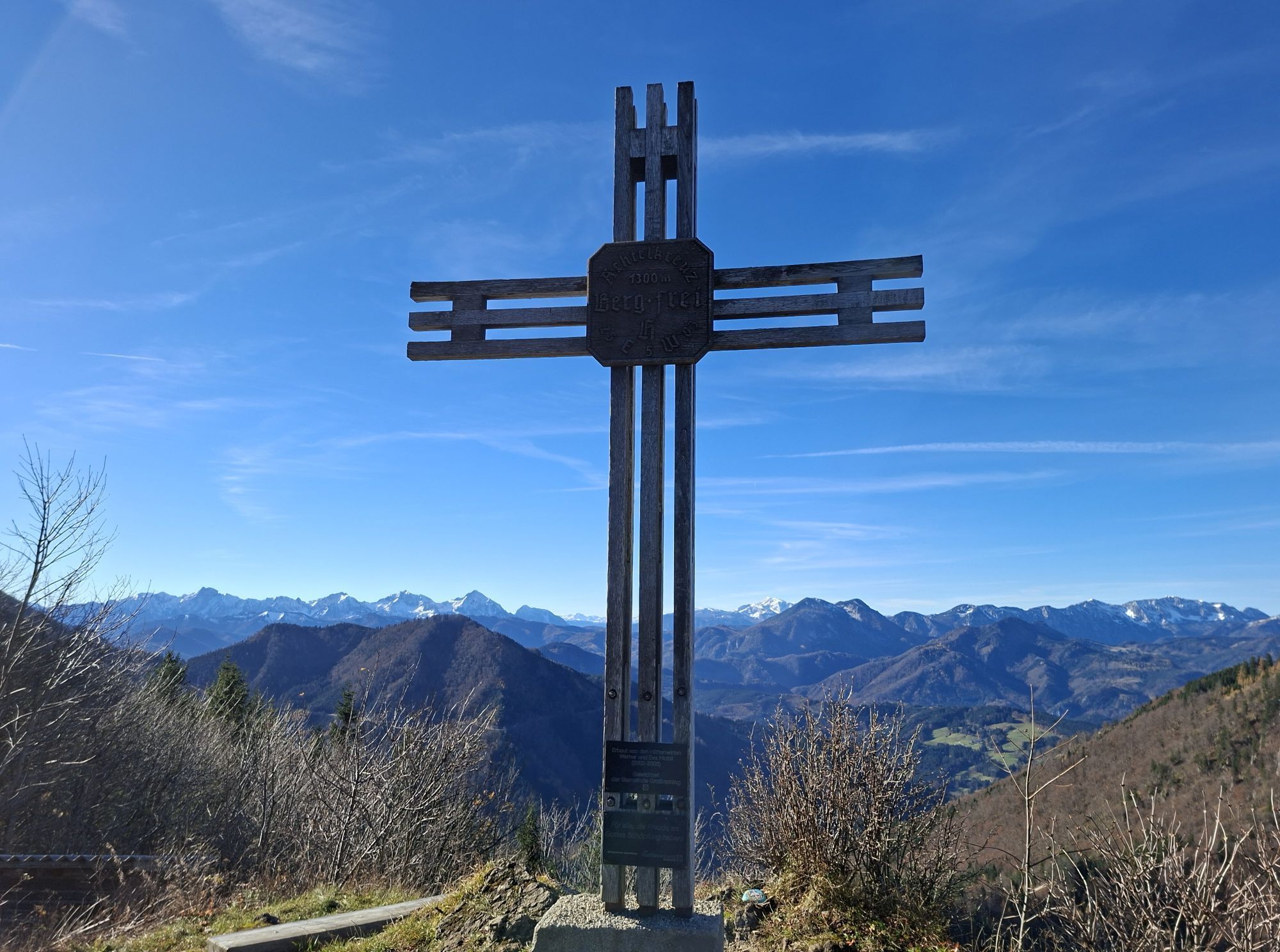
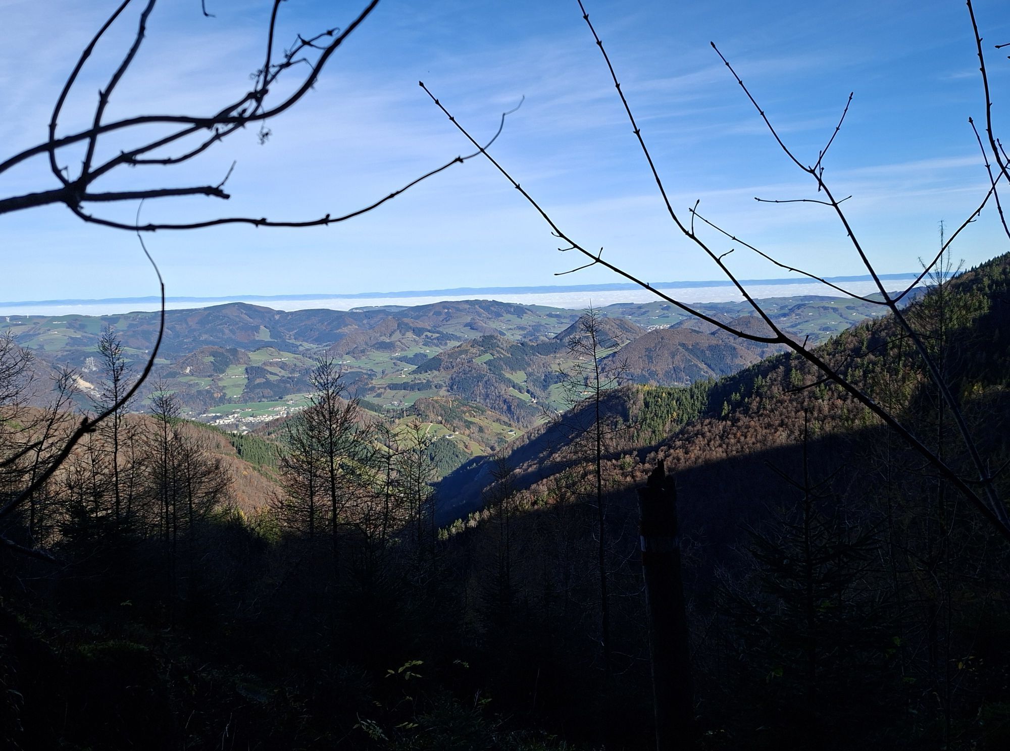
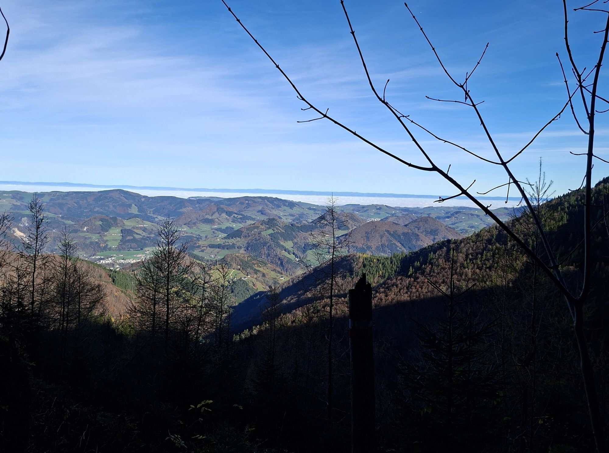
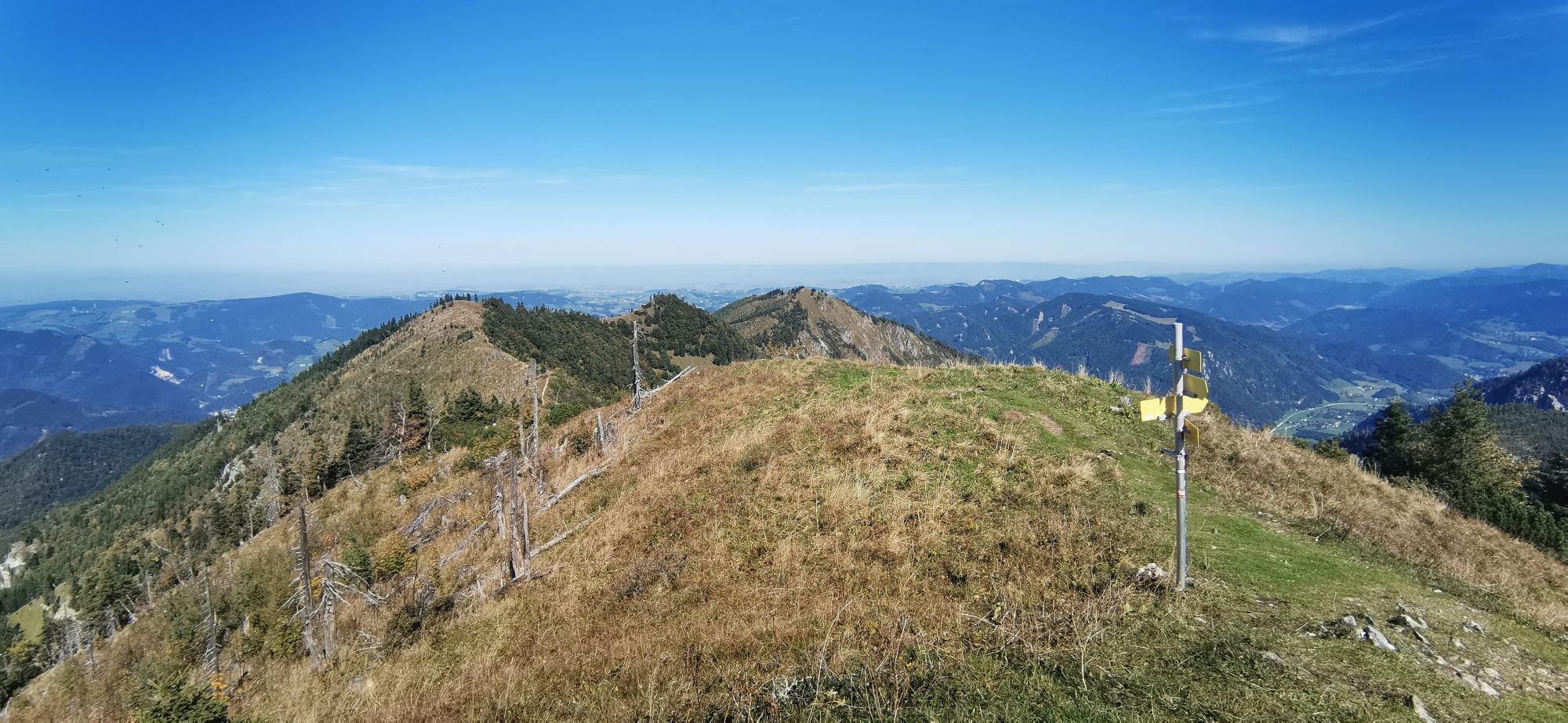
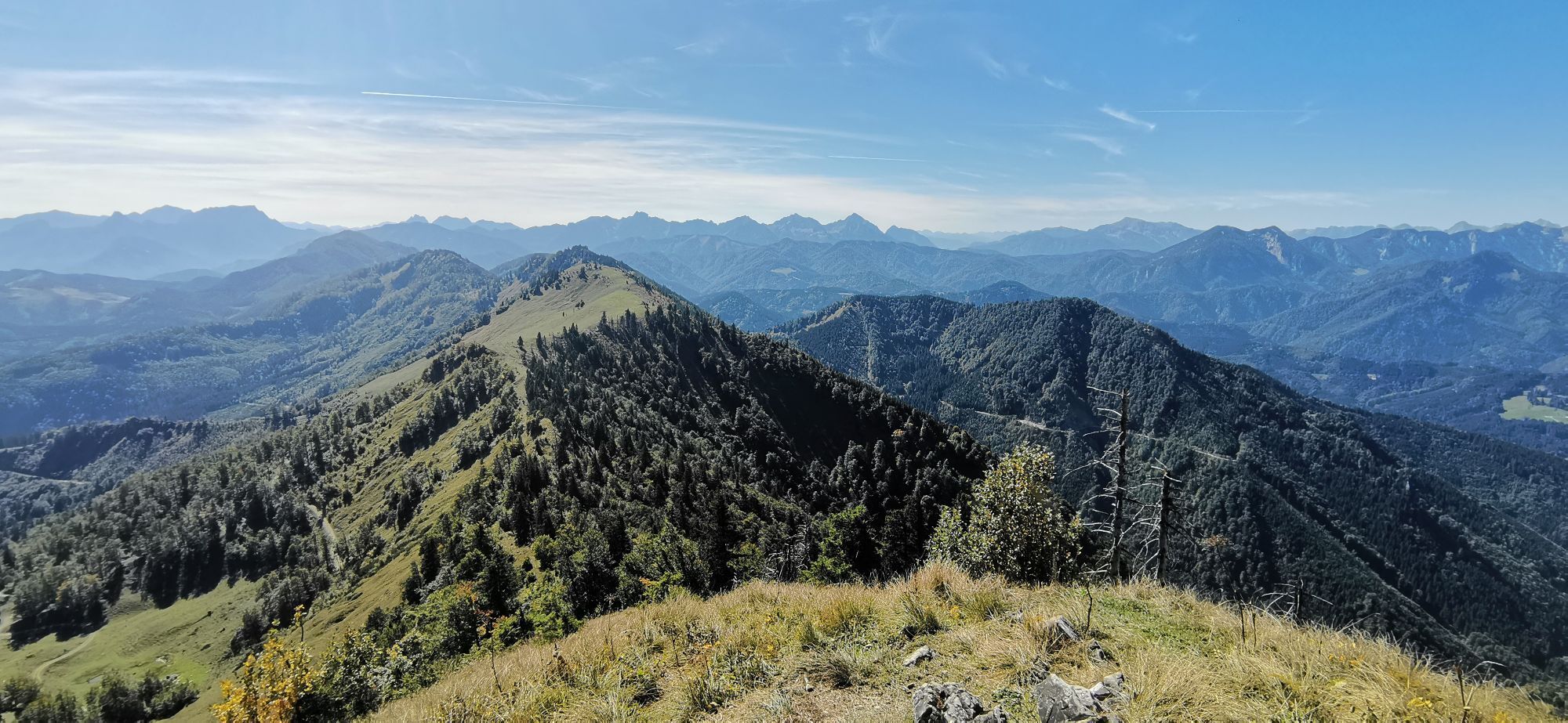
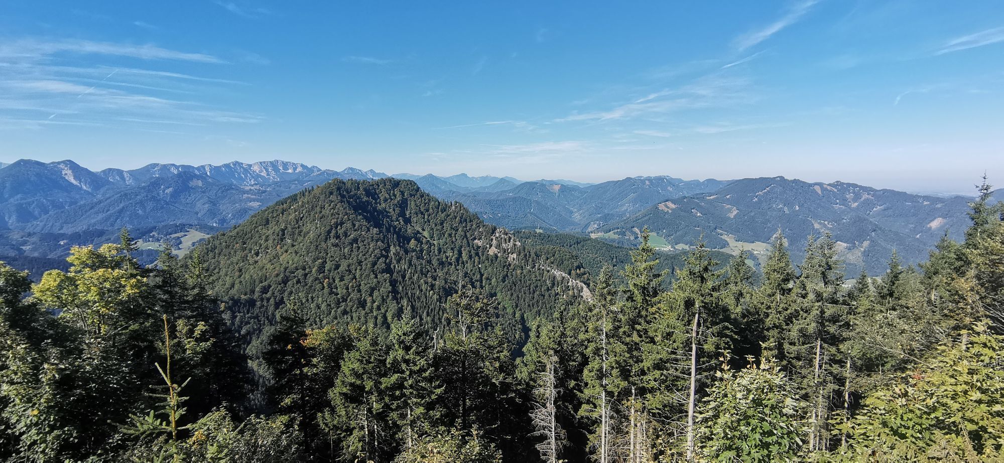
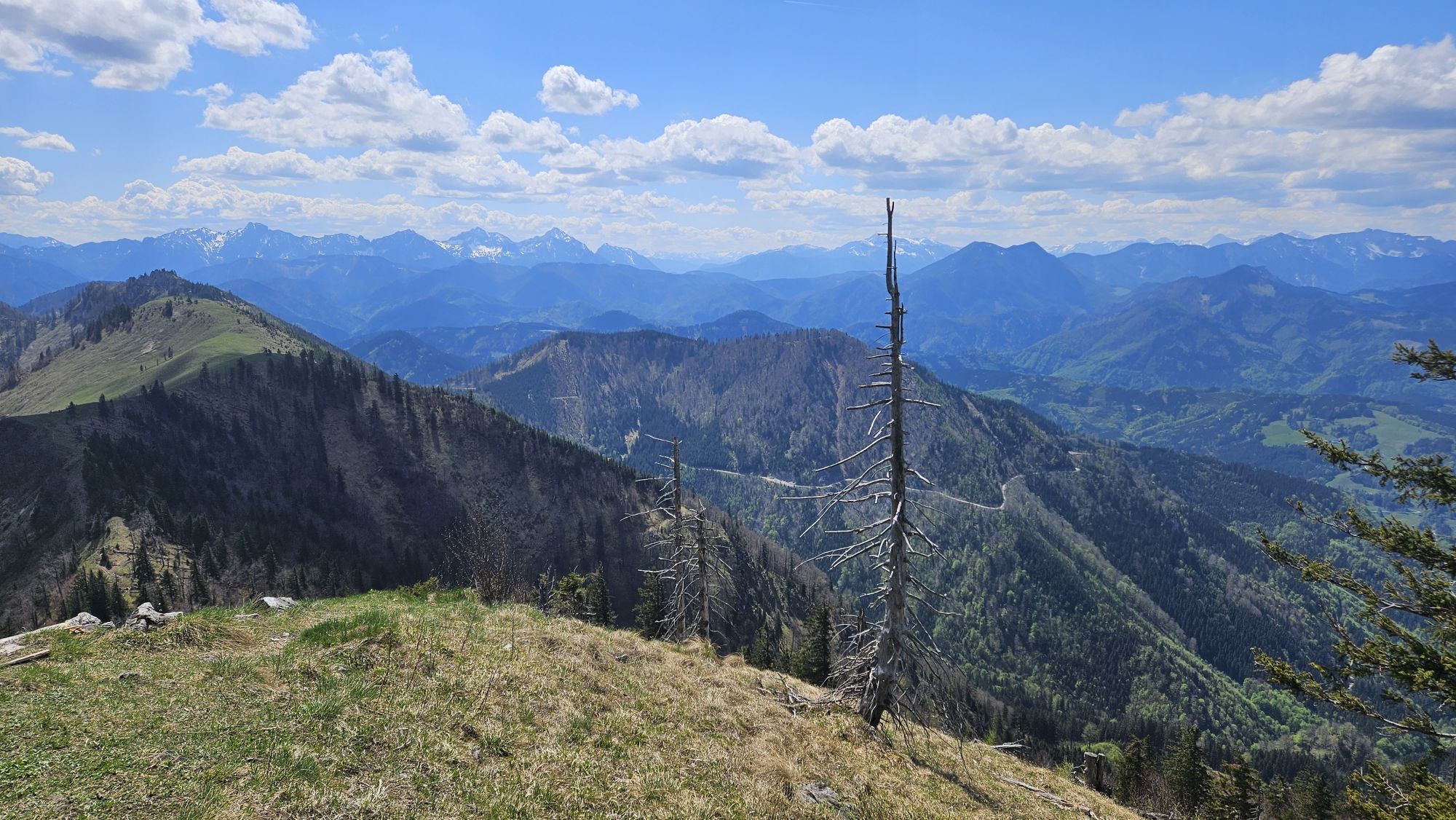
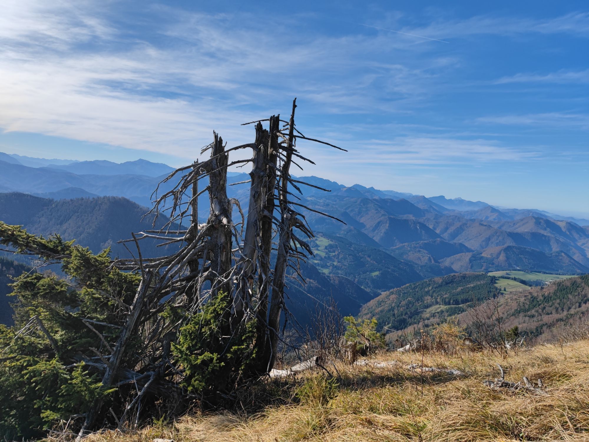
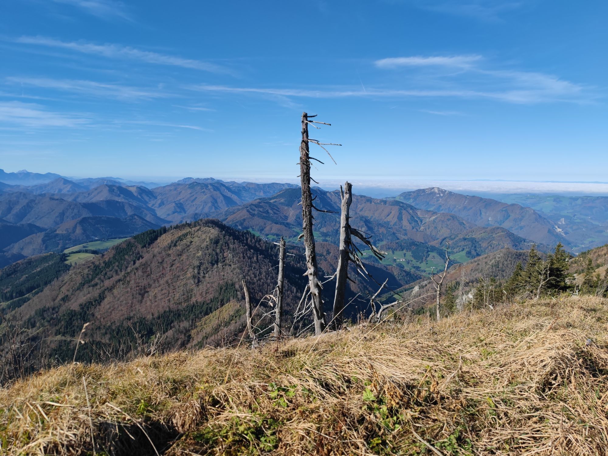
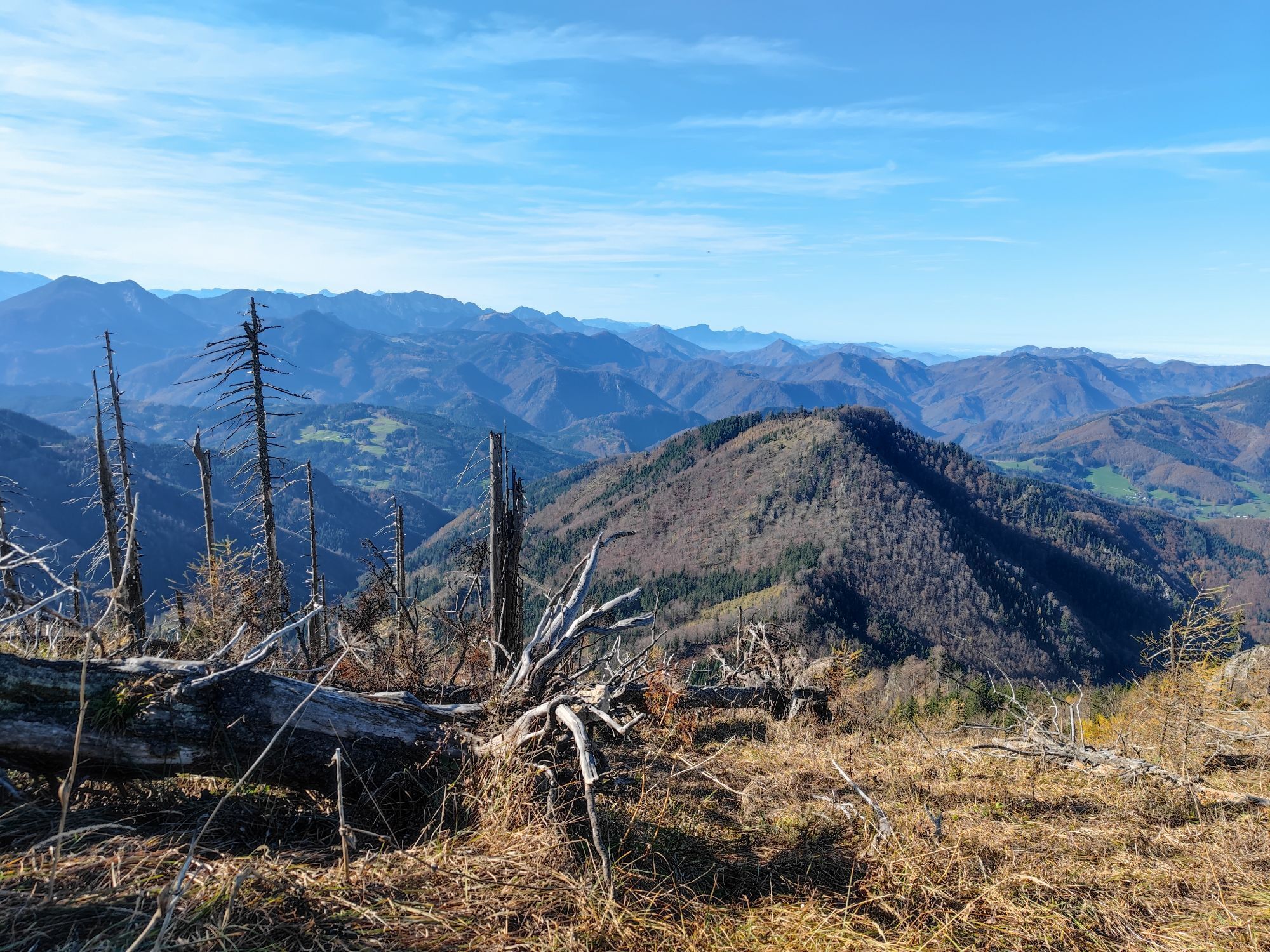
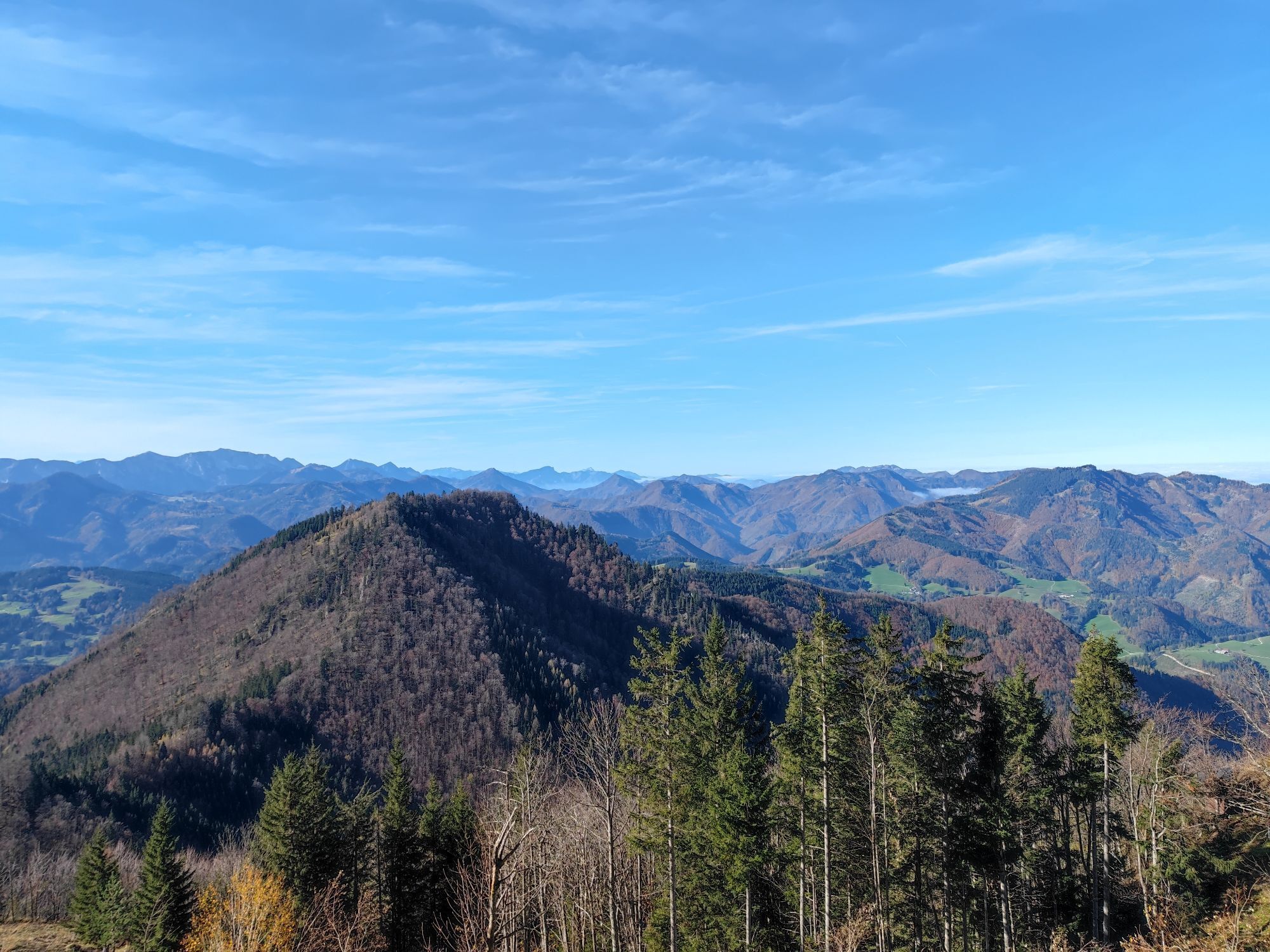
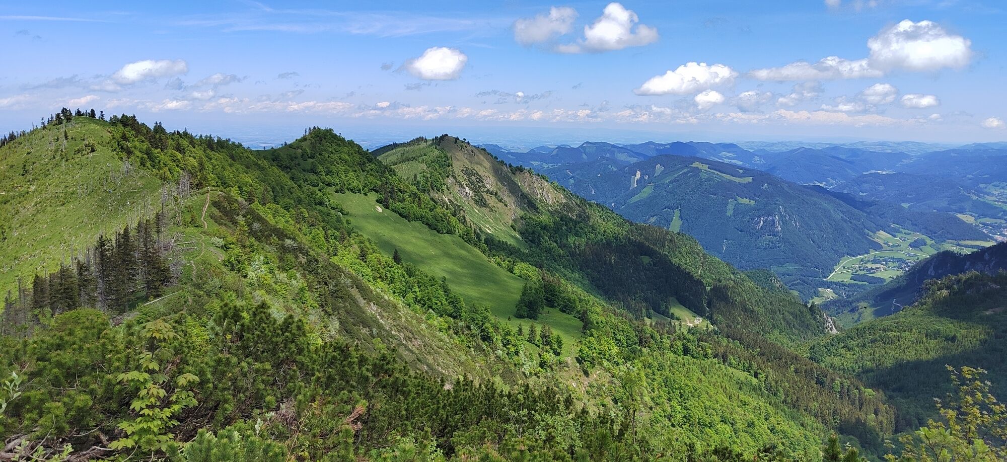
A splendid view over the Kalkalpen National Park and the surrounding mountain world rewards the ascent.
Variants:
Crossing Schüttbauernalm or Anlaufalm on the Dürrensteig ridge - very demanding, only for experienced hikers Descent to Küpfern via Danzersteig to Gschwendtalm circular hike from Nina Hut to Burgspitz and over the ridge to Almkogel
Da
Da
Da
From Salzburg/Linz: A1 motorway exit Enns-Steyr > B115 into the Enns Valley
From Vienna: A1 motorway exit Haag > B42 > B122 > B115 into the Enns Valley
From Passau: A8 Passau > Wels > A1 motorway exit Enns-Steyr > B115 into the Enns Valley
From Graz: A9 Pyhrnautobahn > motorway exit Klaus > Grünburg > into the Ennstal Valley
The Ennstalbahn runs between Linz and Weißenbach-St. Gallen.
Details at www.ooevv.at
Railway Stations are located in Steyr, Garsten, Lahrndorf, Dürnbach, Ternberg, Trattenbach, Losenstein, Reichraming, Großraming, Gaflenz, Weyer, Küpfern, Kastenreith, Kleinreifling and Weißenbach-St. Gallen.
Großraming/Bamacher car park (B115 over Enns bridge, upstream to the turnoff Ennser Hut, uphill to the end of the paved road)
Refuge area with rare plant species and geological peculiarity "Weyrer Bögen"
Priljubljeni izleti v okolici
- 4,7
Steinerner Jäger (1185m) und Schieferstein (1206m) ab Parkplatz Hochhabichler
srednjaPohodništvo4,46 km - 4,7
GROSSRAMING Bamacher, Burgspitz, Almkogel, Ennshütte 20240730
srednjaPohodništvo10 km - 4,1
Sonnkogel (1177m) und Hohe Dirn (1134m) ab Parkplatz Hohe Dirn
srednjaPohodništvo7,71 km - 3,8
Wasserklotz
srednjaPohodništvo5,81 km - 3,8
Ebenforstalm Rundtour
svetlobaMountainbike44,6 km - 4,7
Steinerner Jäger (1185m) und Schieferstein (1206m) ab Parkplatz Hack
težkoPohodništvo8,58 km - 4,0
Schieferstein und Steinerner Jäger von Reichraming, Oberösterreich
srednjaPohodništvo3,82 km - 4,0
Ennser Hütte, Stallburgalm, Burgspitz, Almkogel
srednjaPohodništvo11,6 km - 3,8
Lindaumauer (1103 m)
Pohodništvo3,40 km - 3,0
Ennser Hut - Almkogel (from Großraming train station)
srednjaPohodništvo9,33 km
Pohodništvo in sledenje


Ne zamudite ponudb in navdiha za naslednje počitnice
Vaš e-poštni naslov je bil dodan na poštni seznam.