







Stage 03 Luchs Trail Laussabaueralm - Admont
Stopnja težavnosti: T3
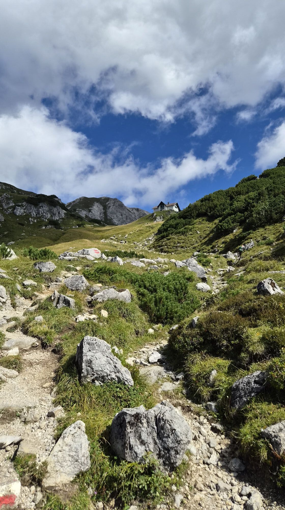
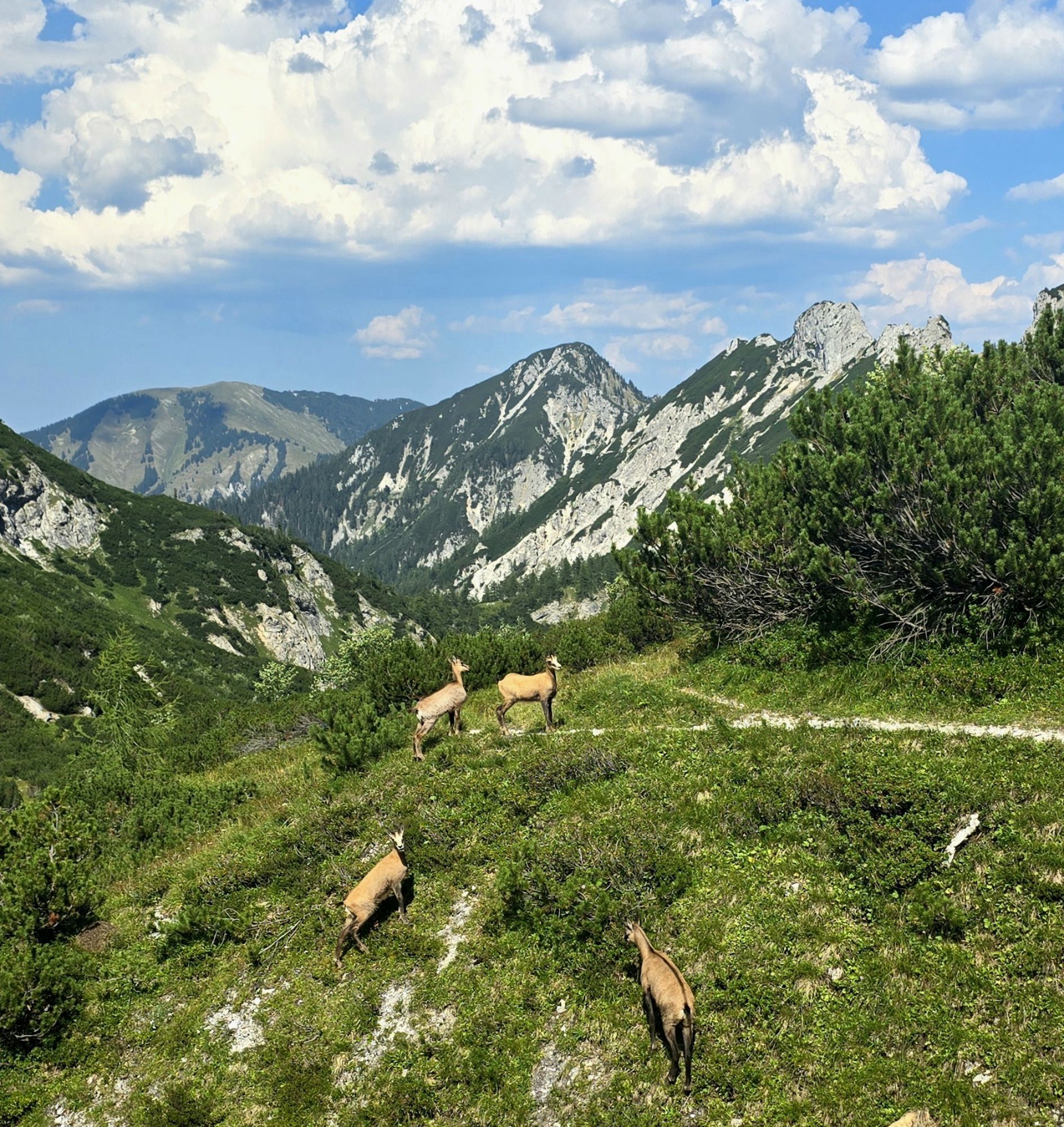
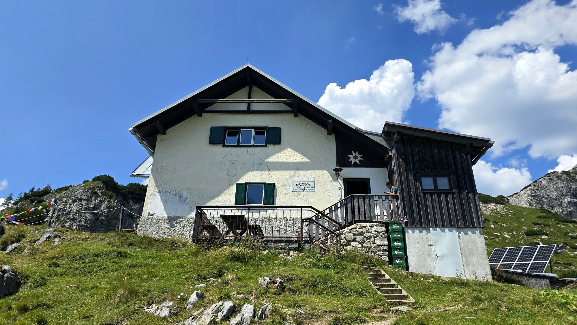
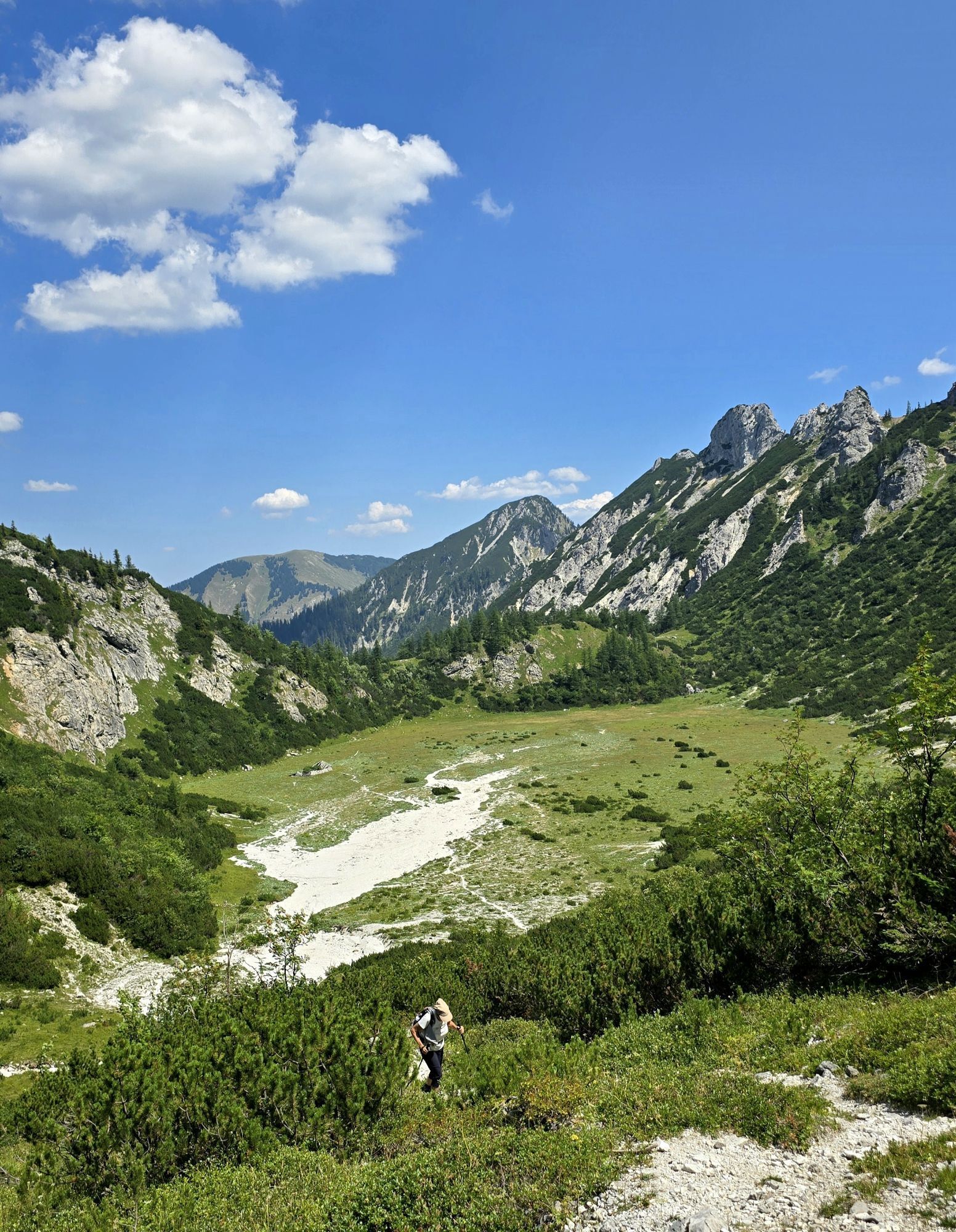
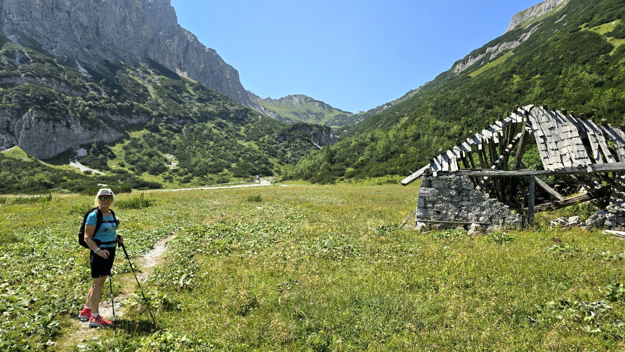
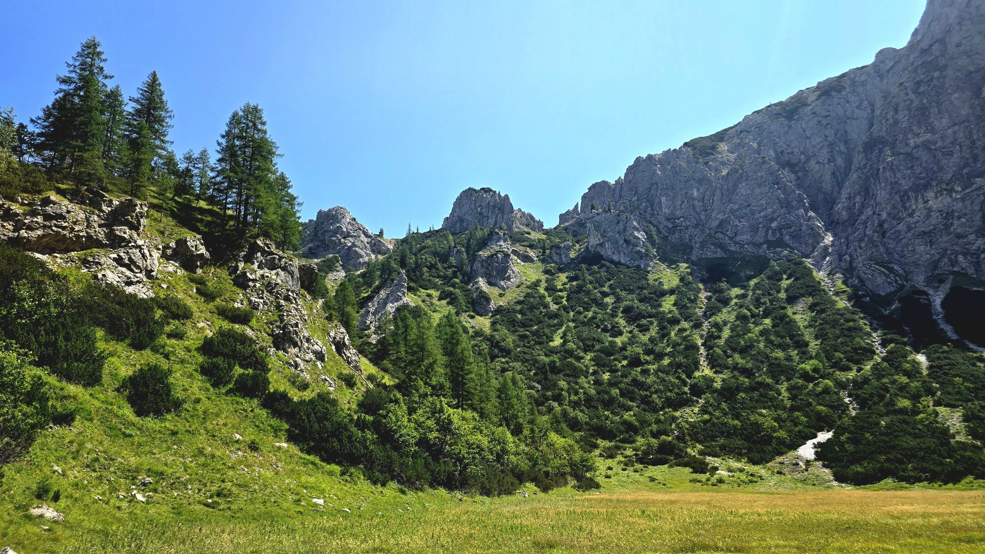
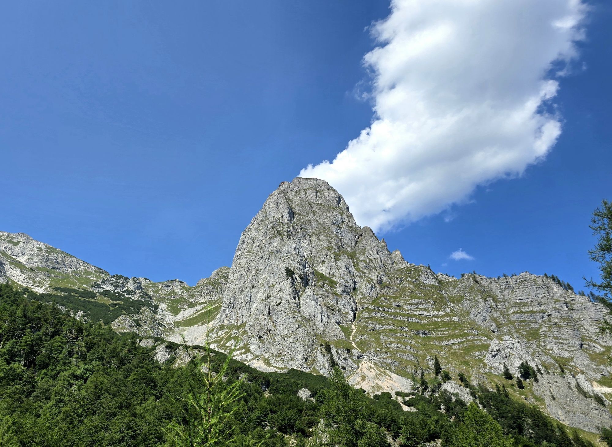
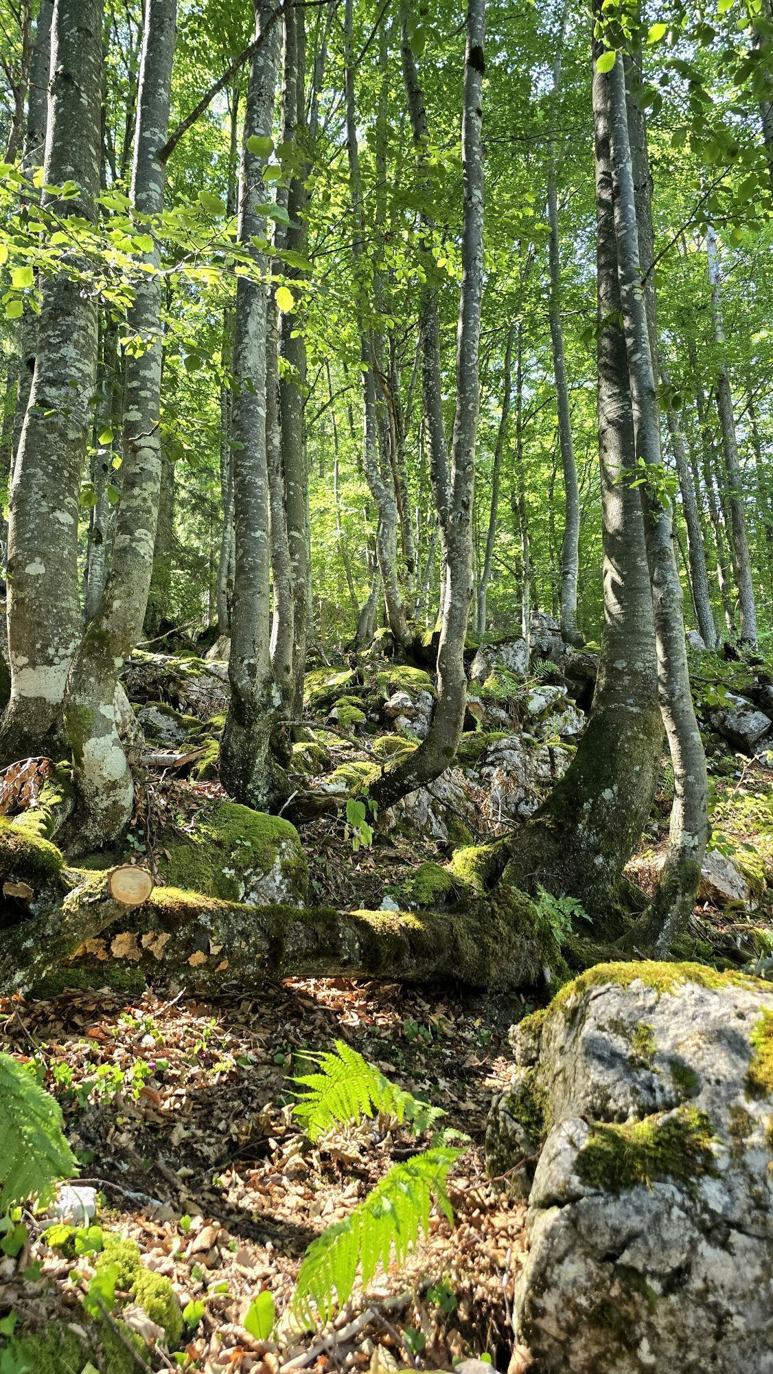
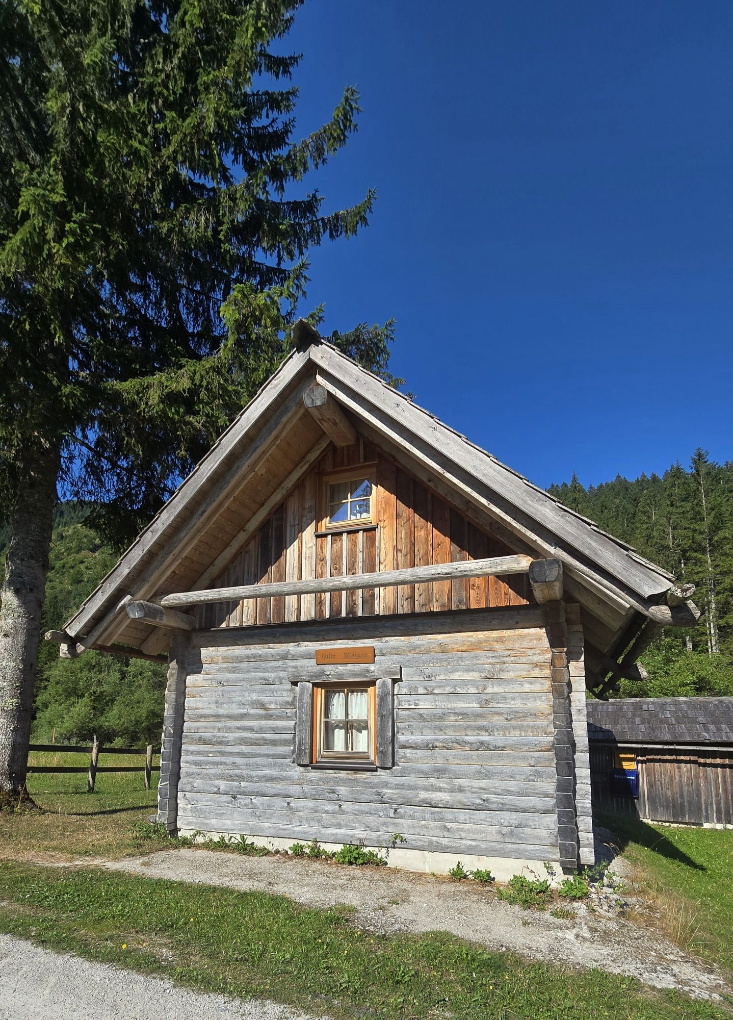
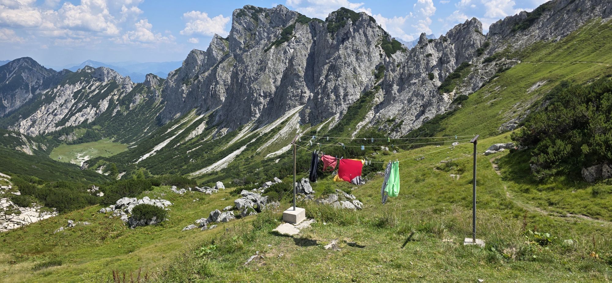
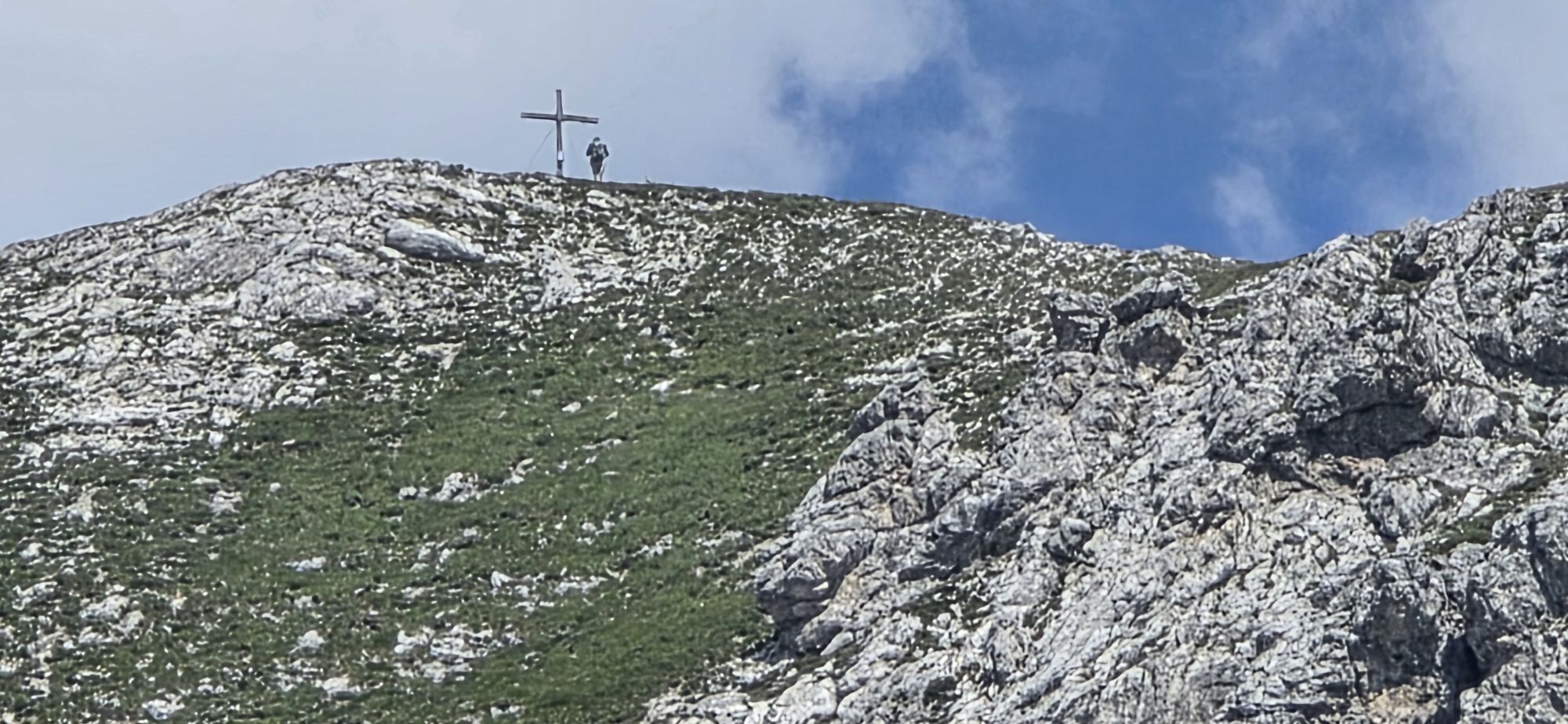
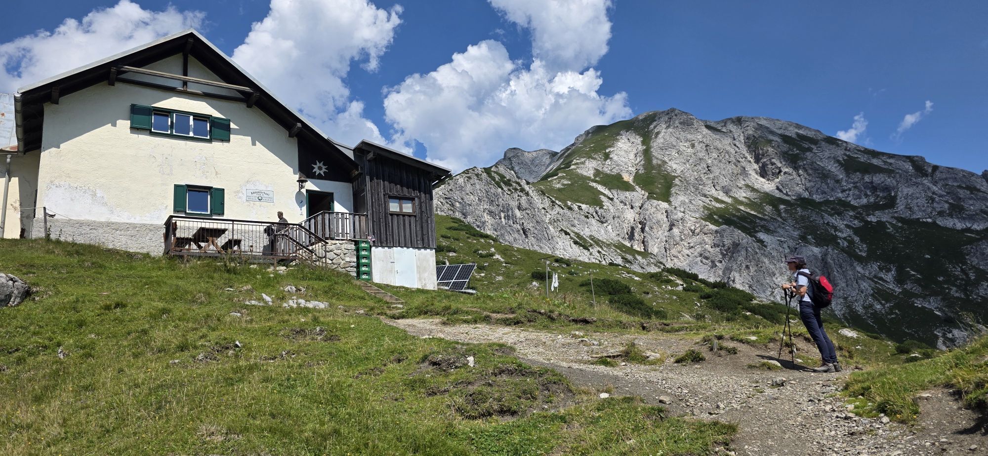
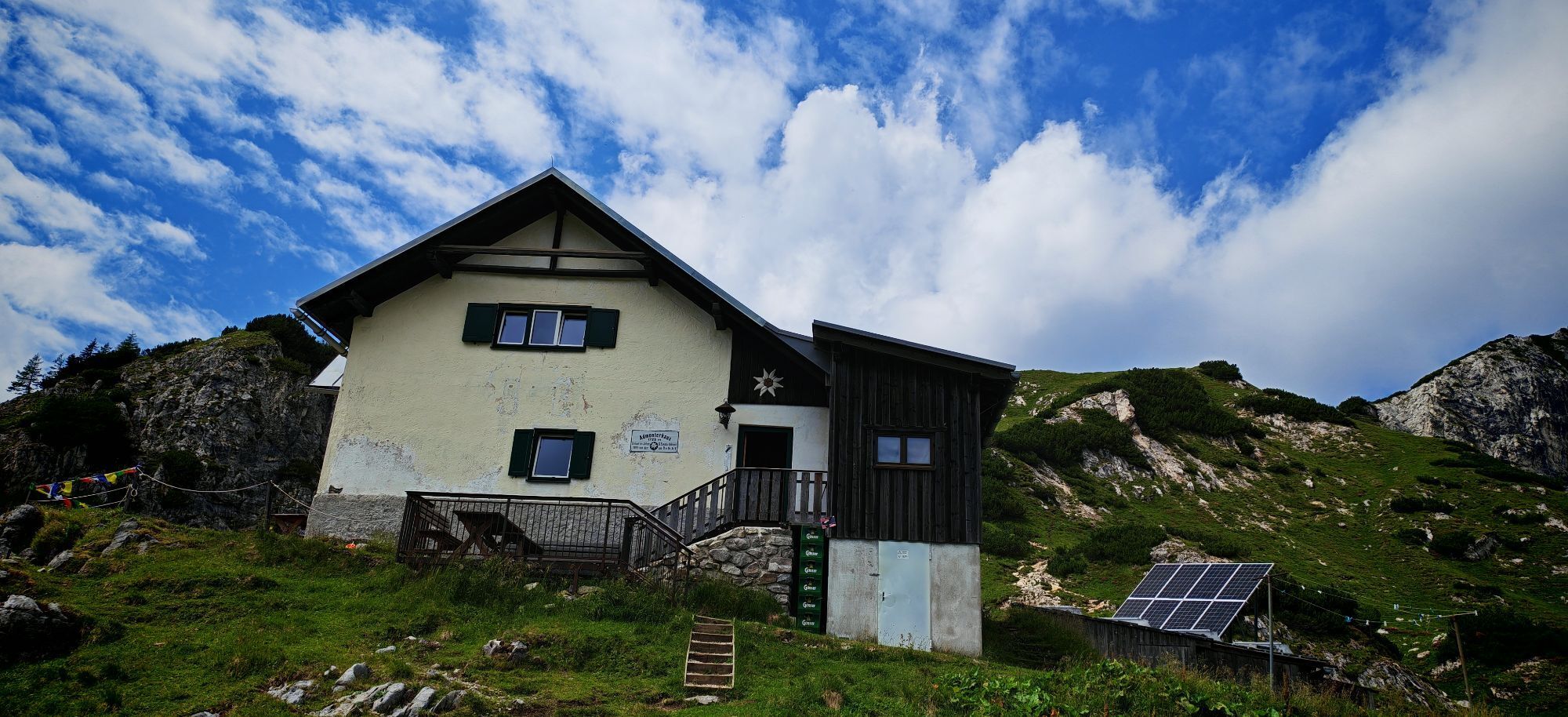
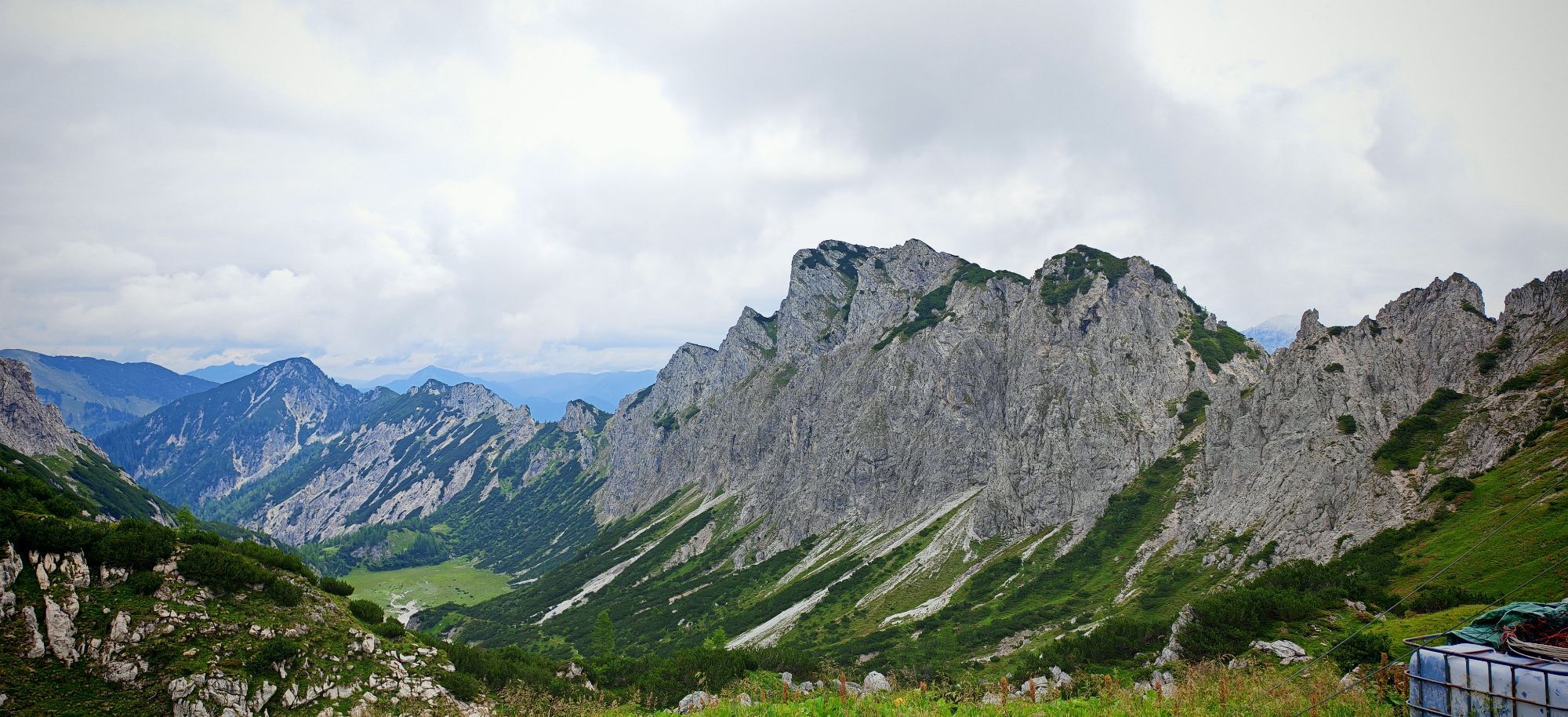
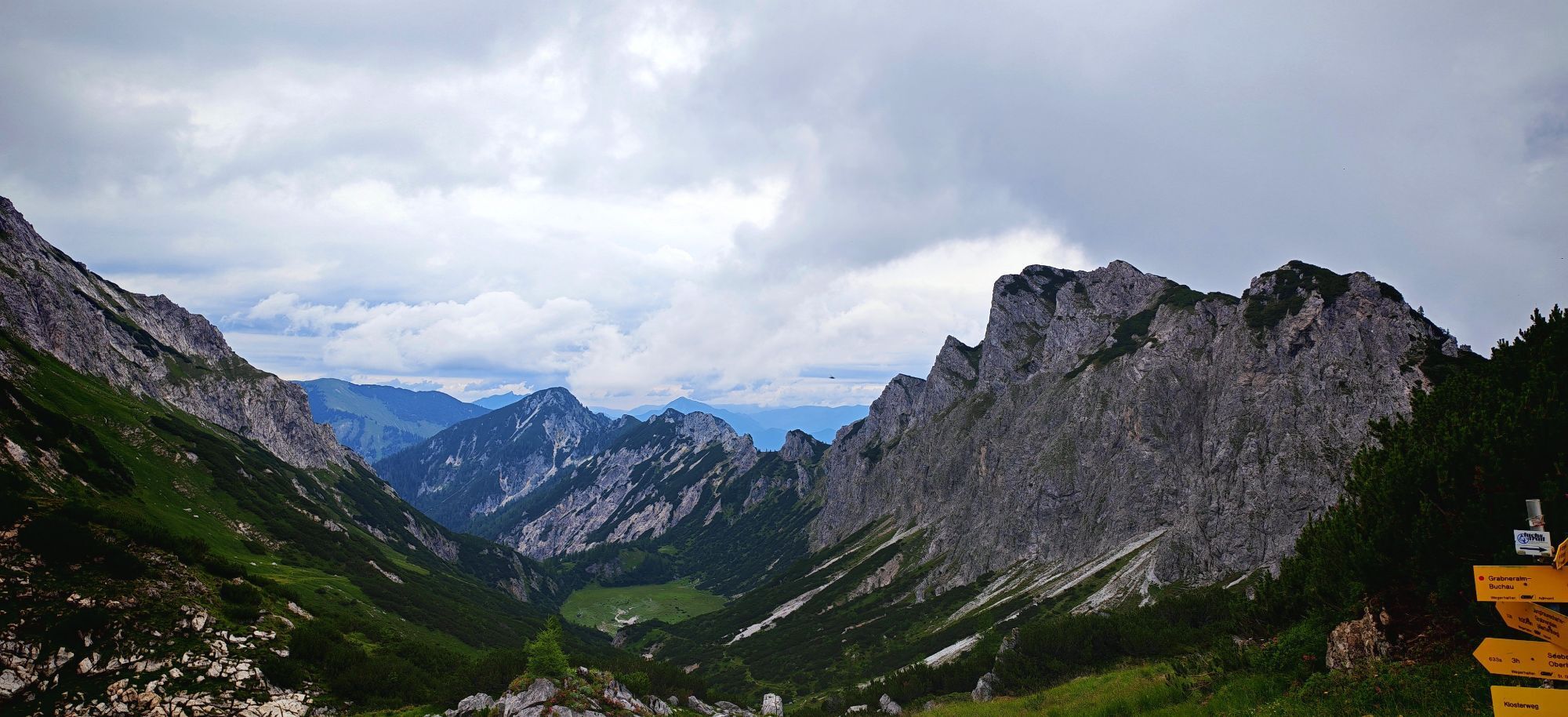
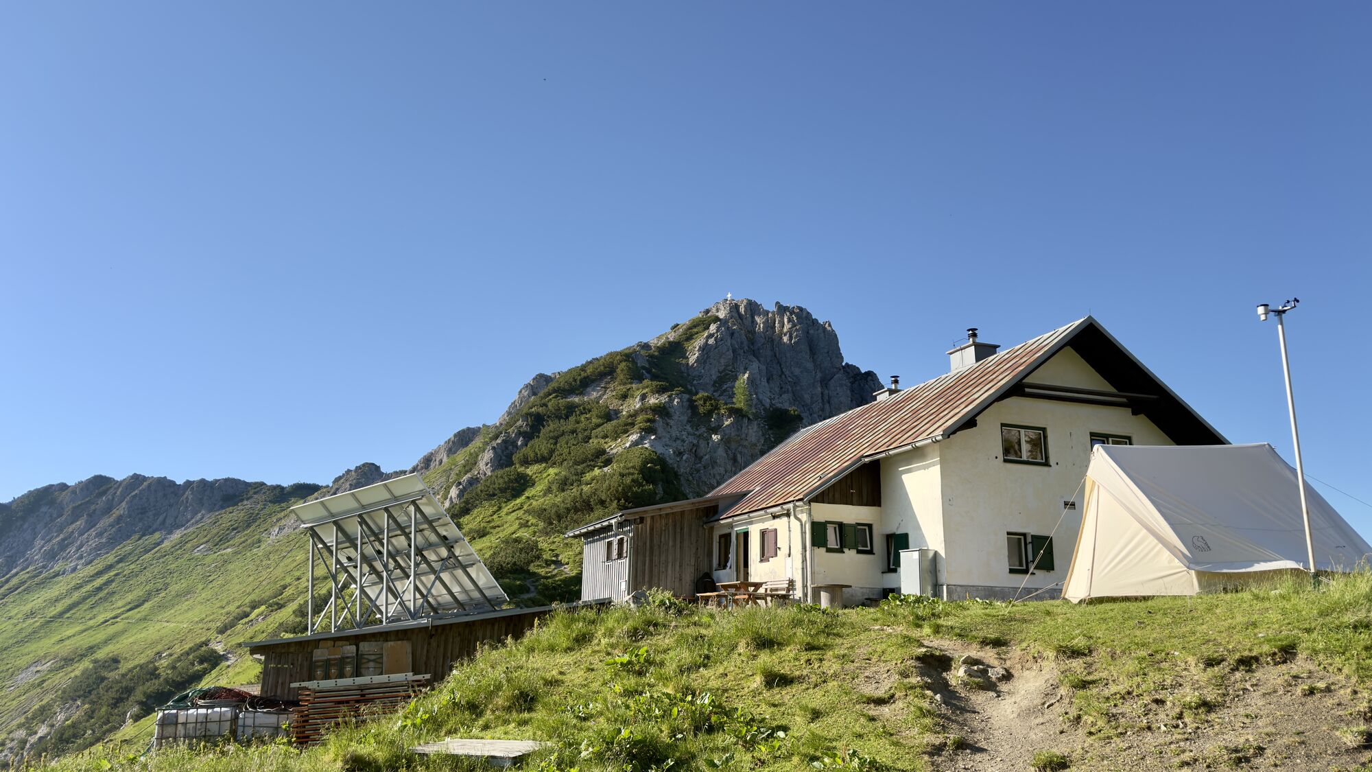
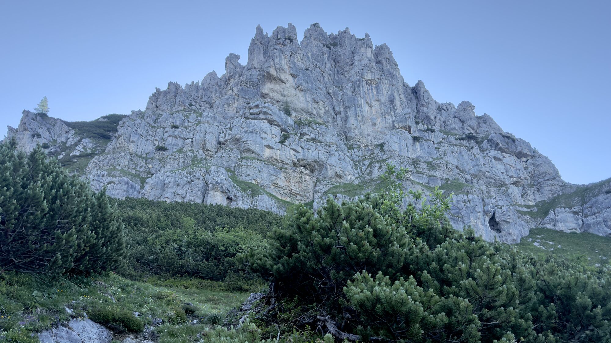
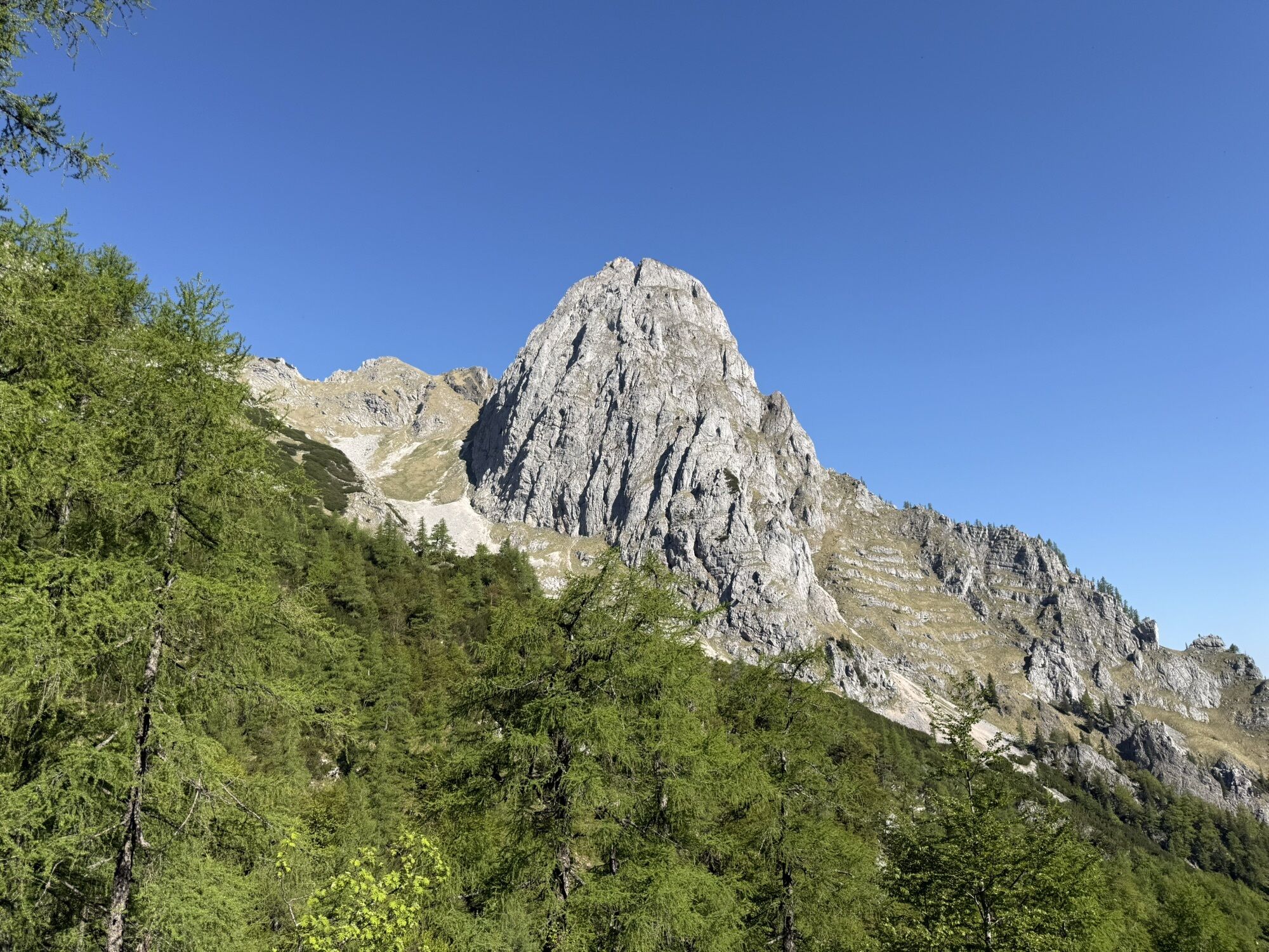
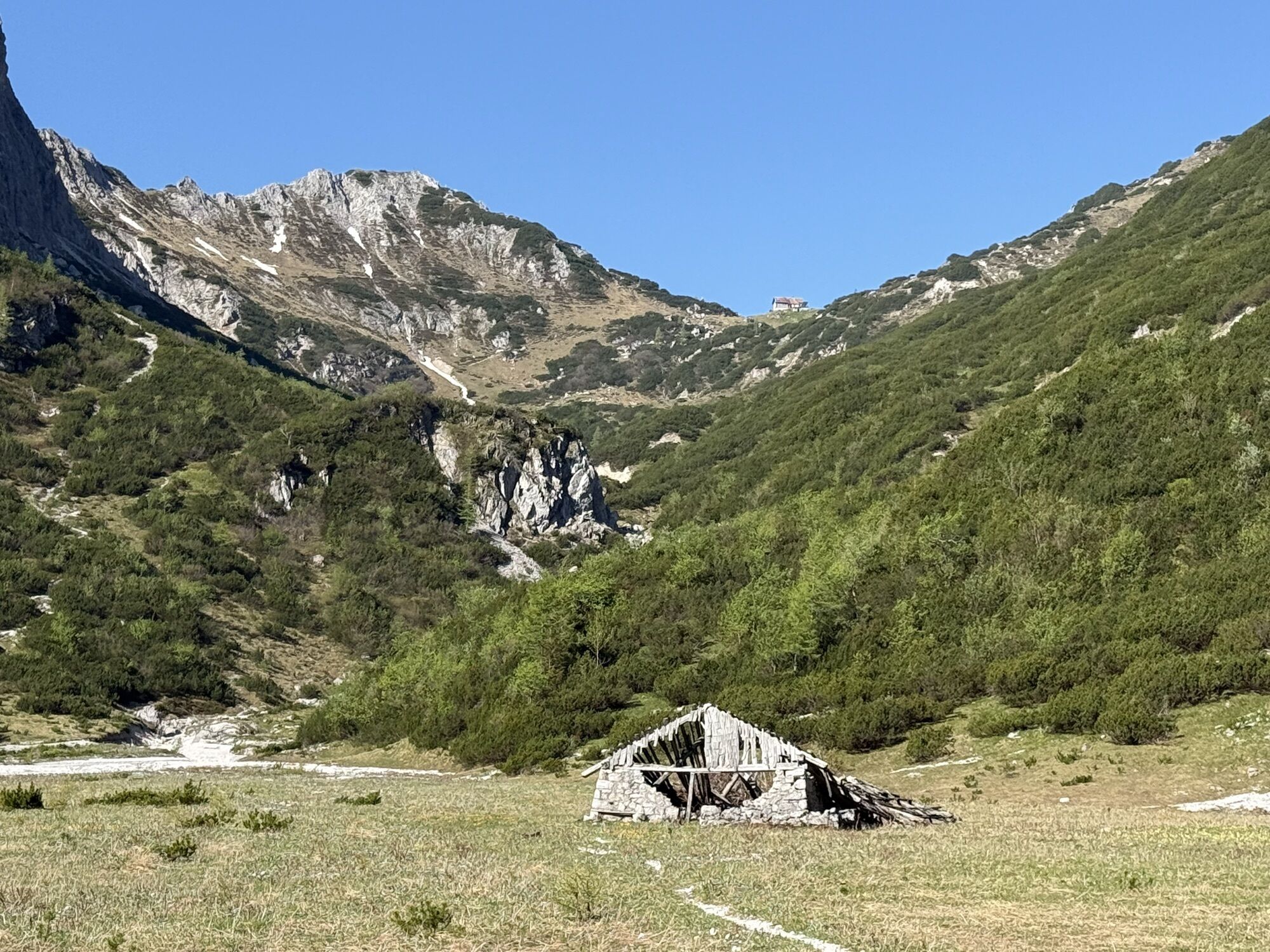
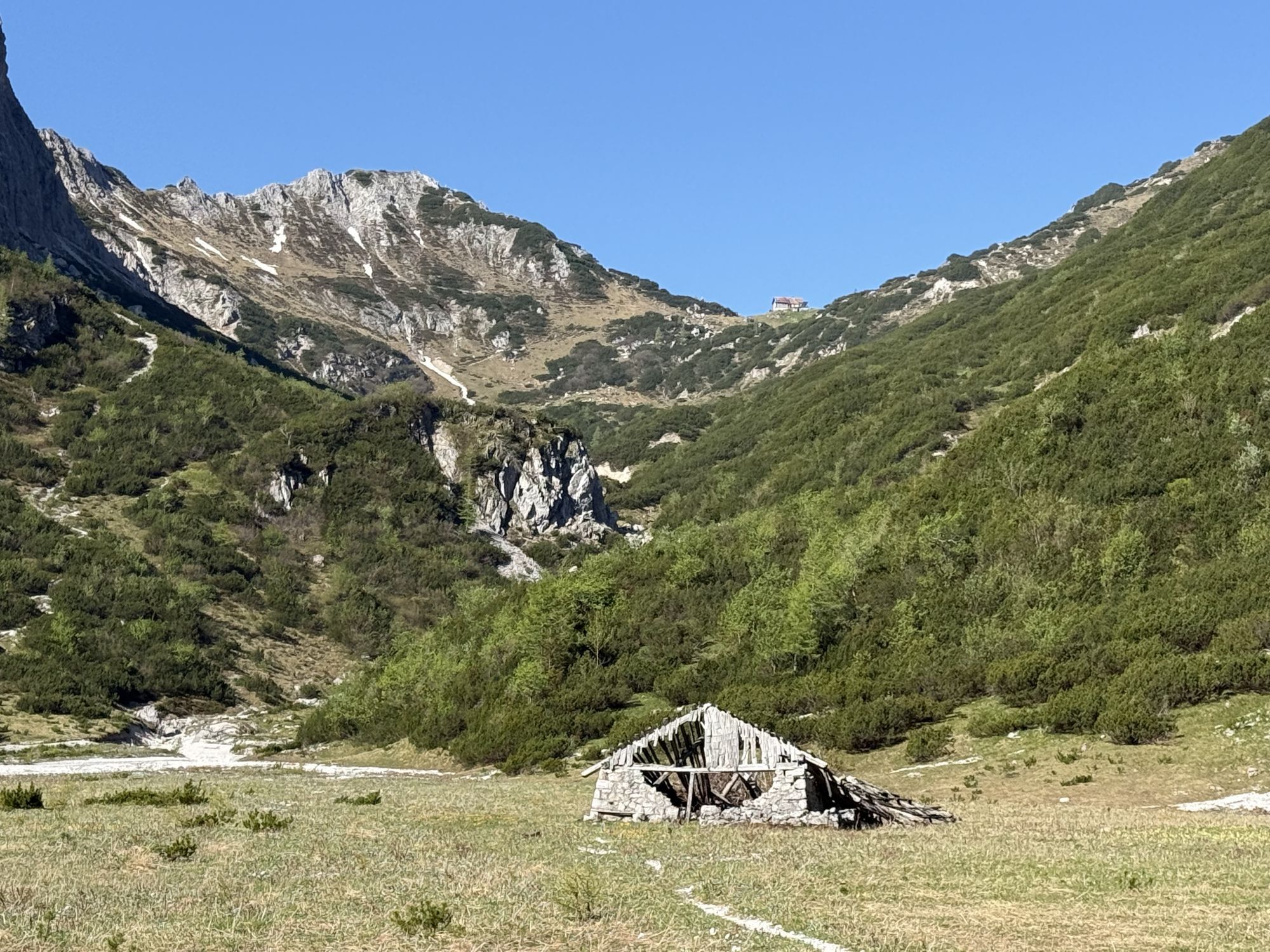
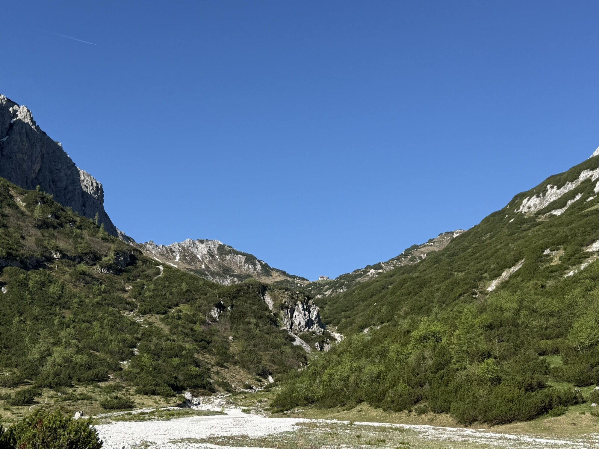
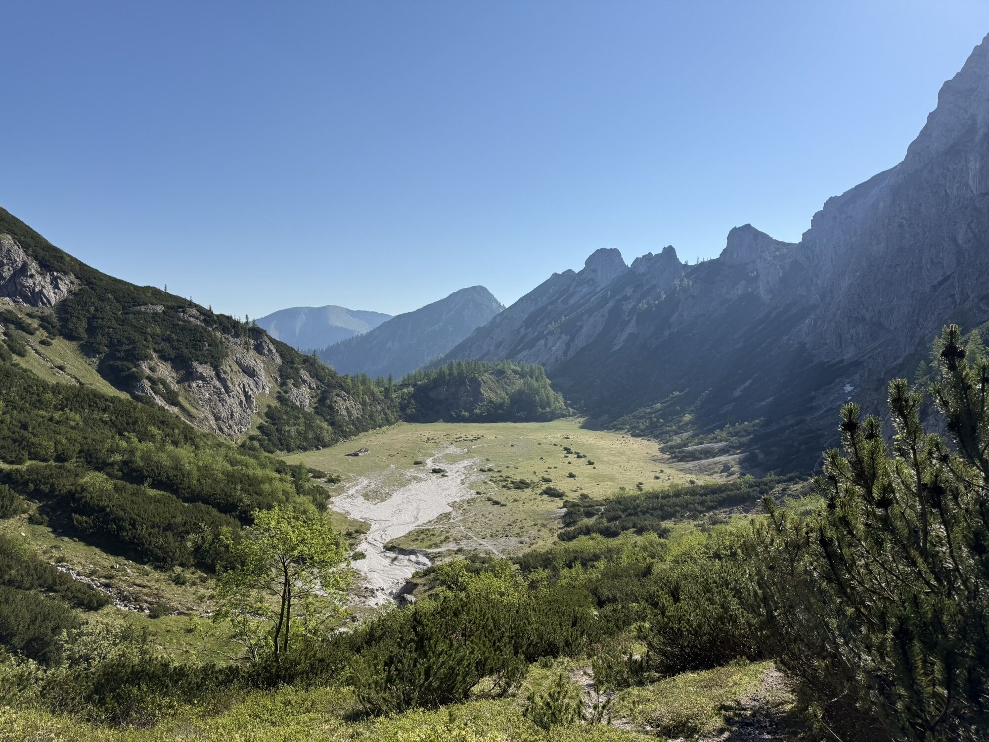
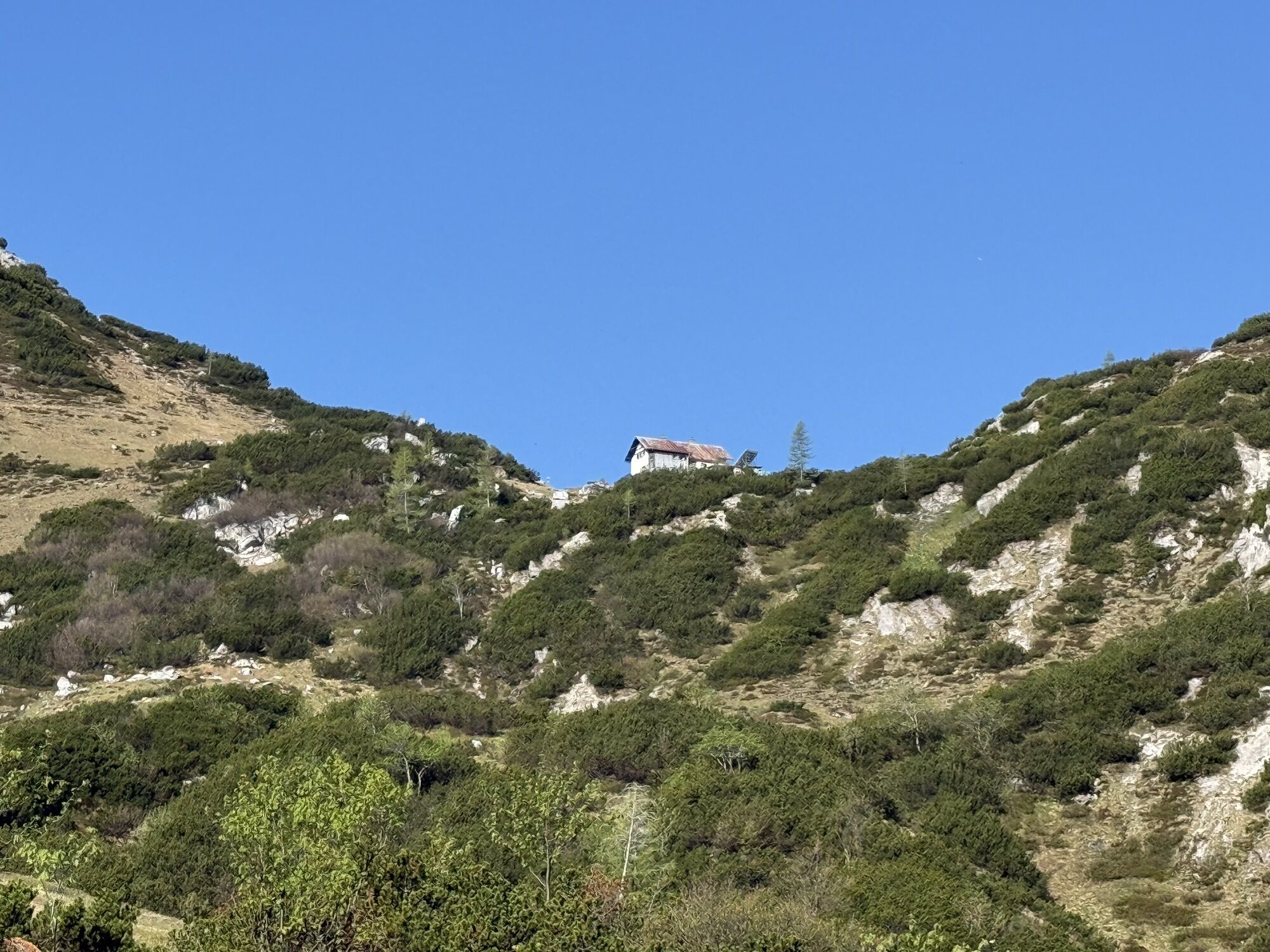
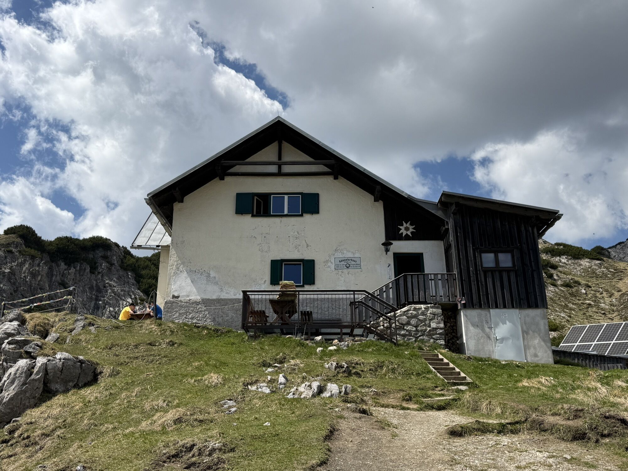
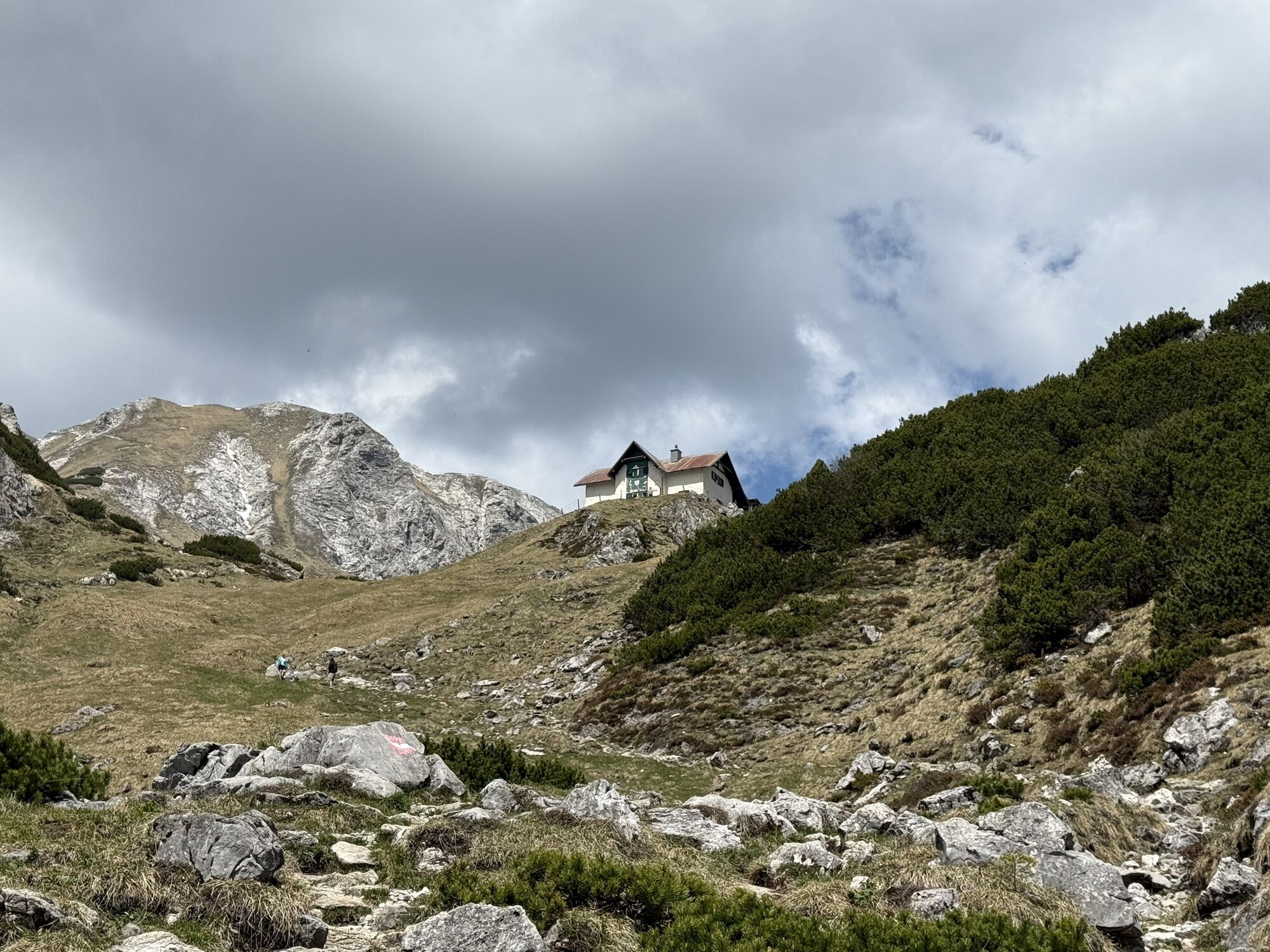
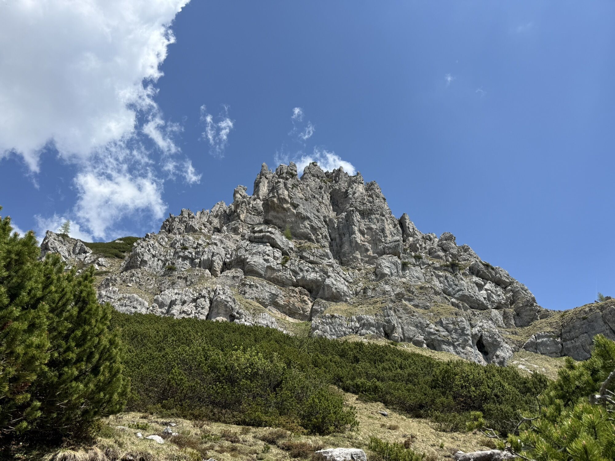
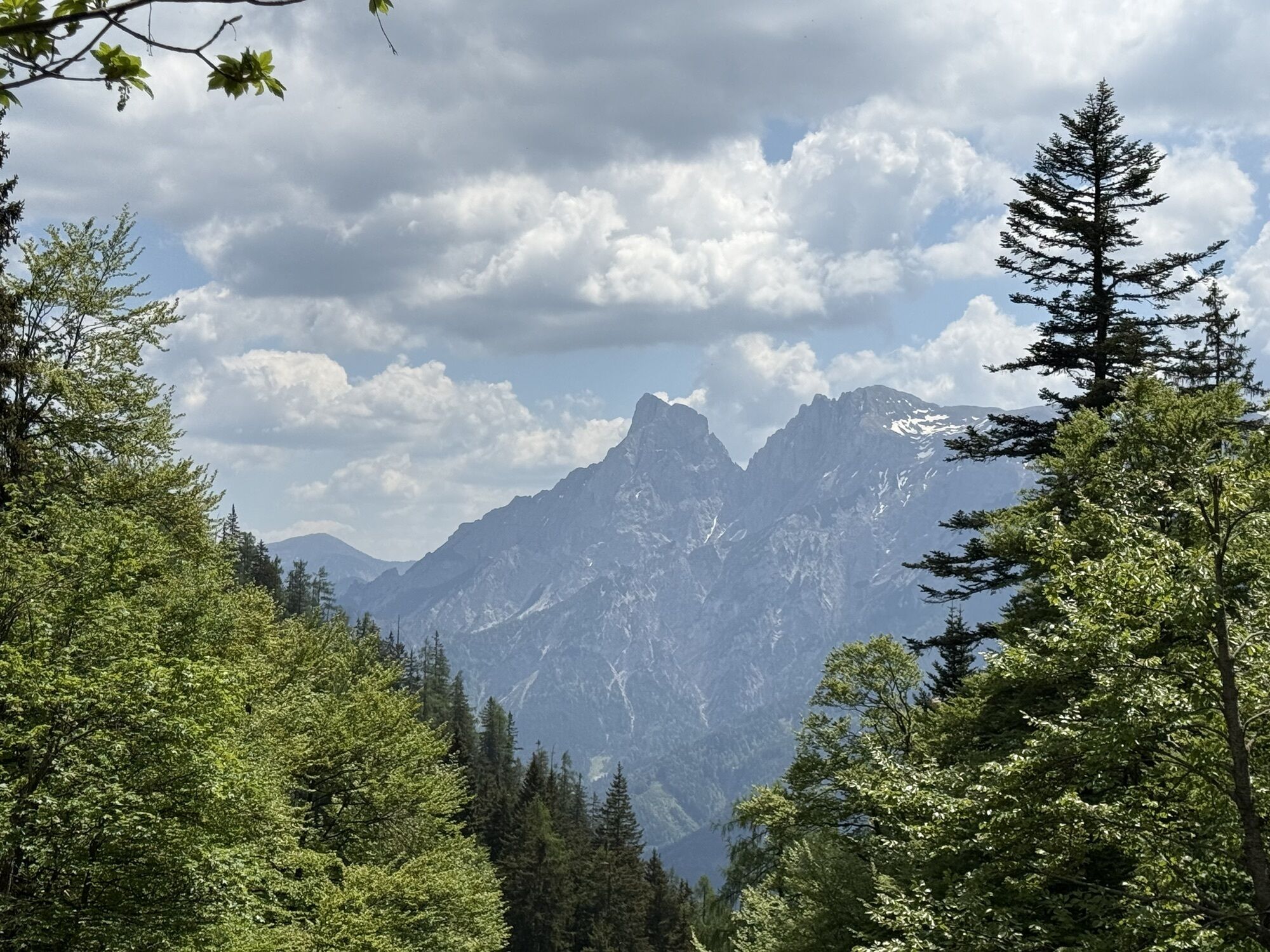
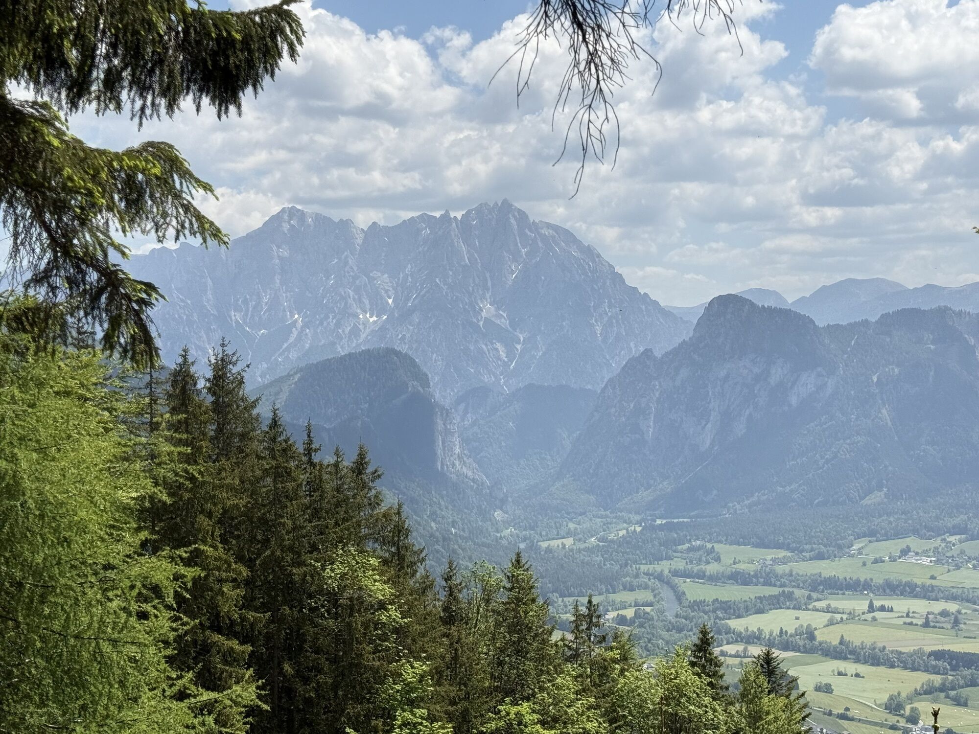
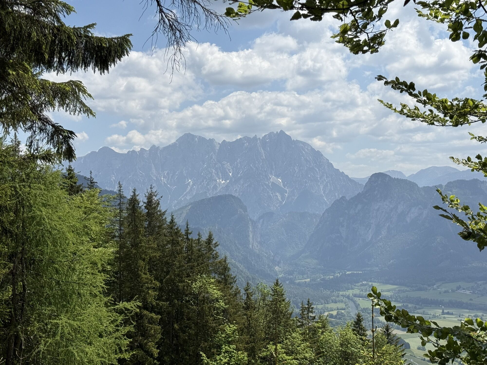
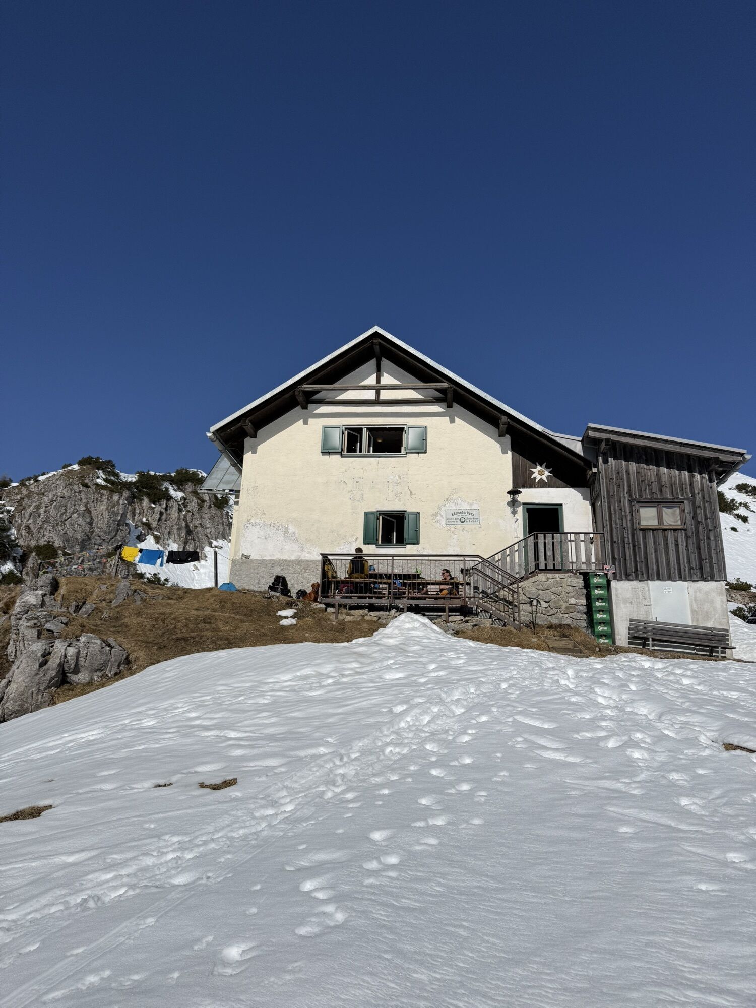
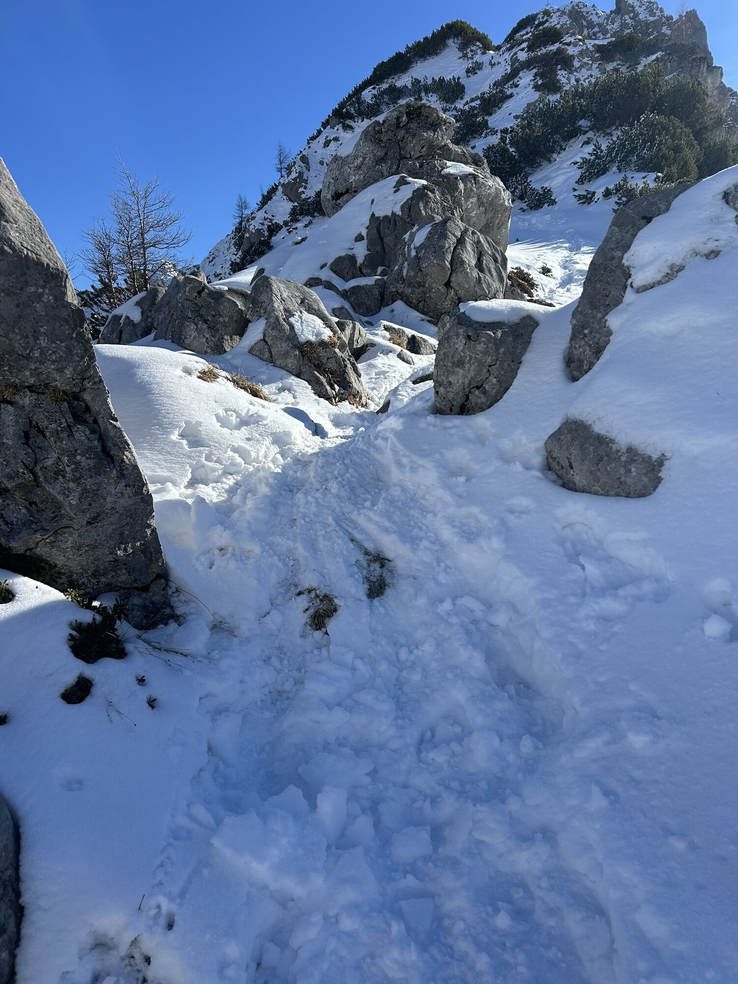
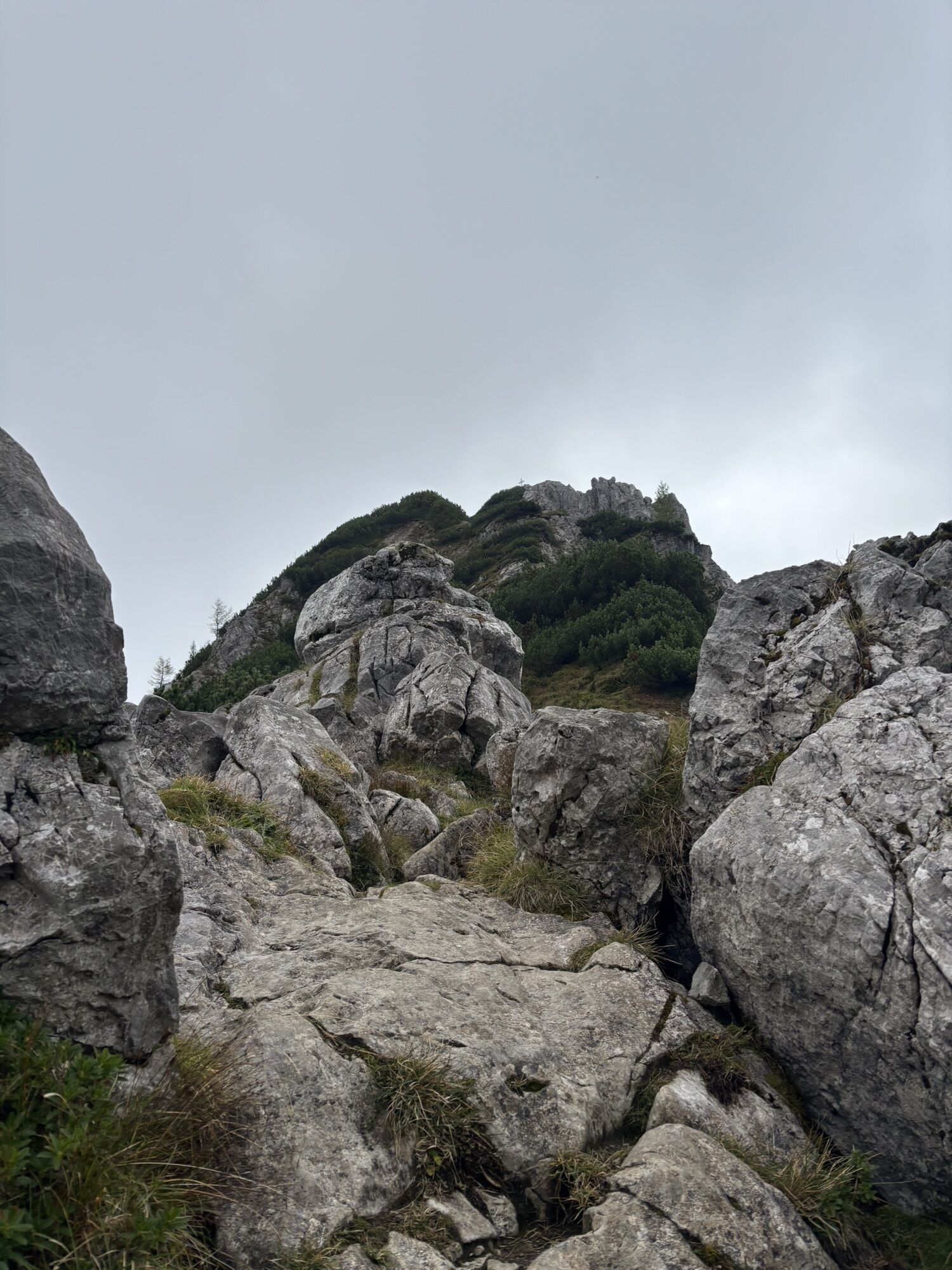
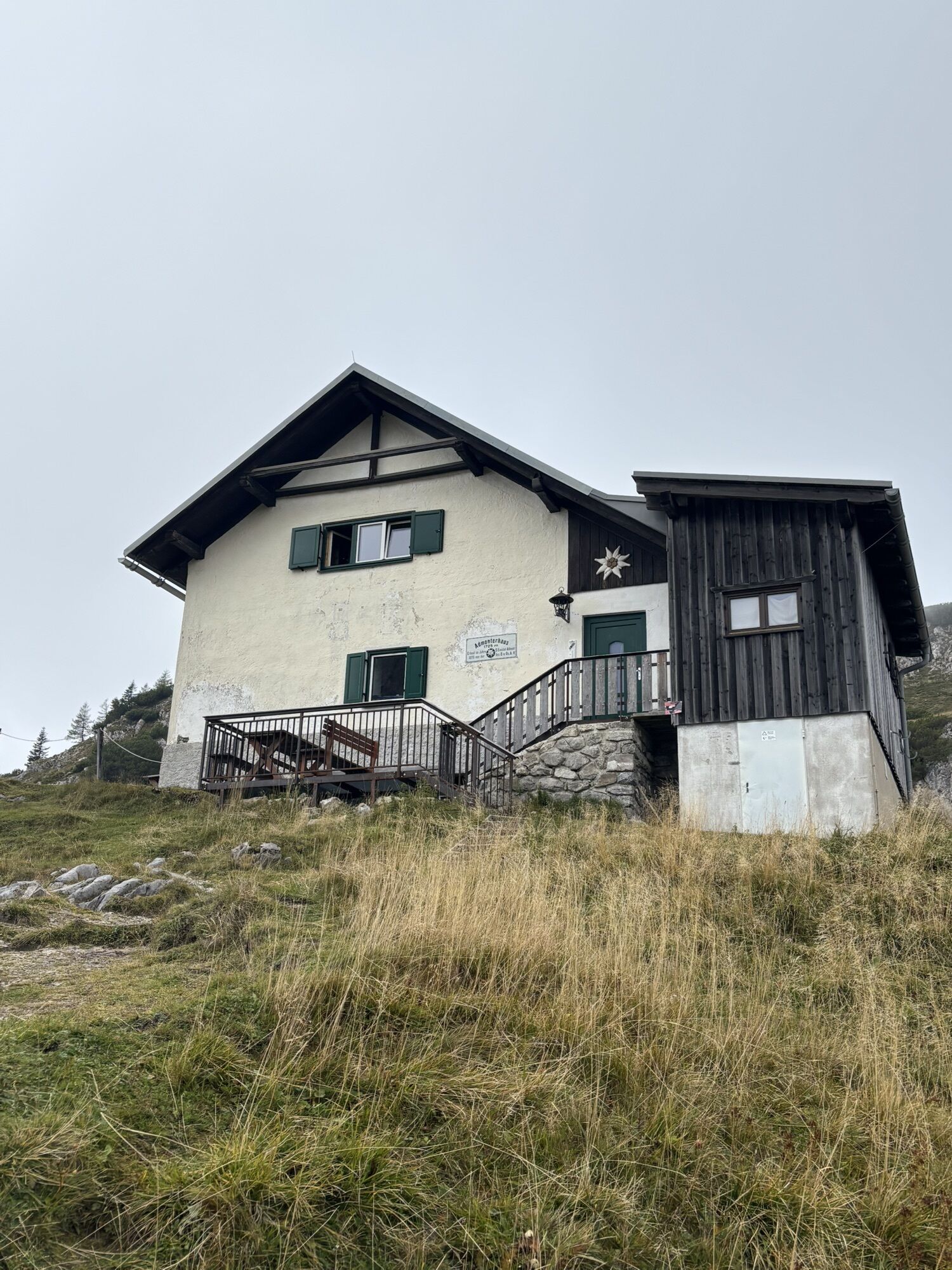
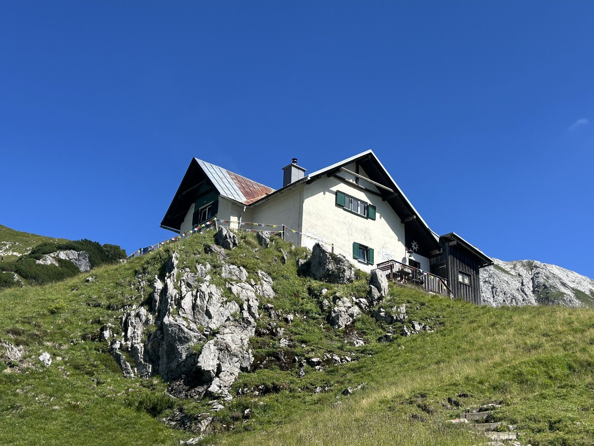
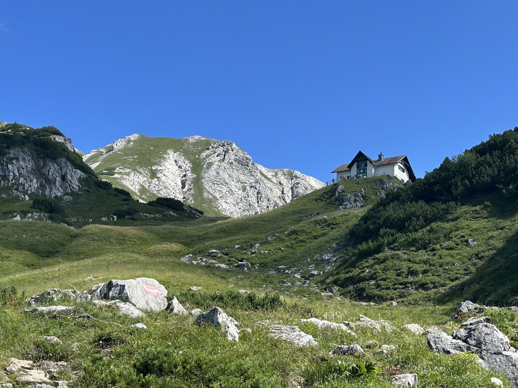
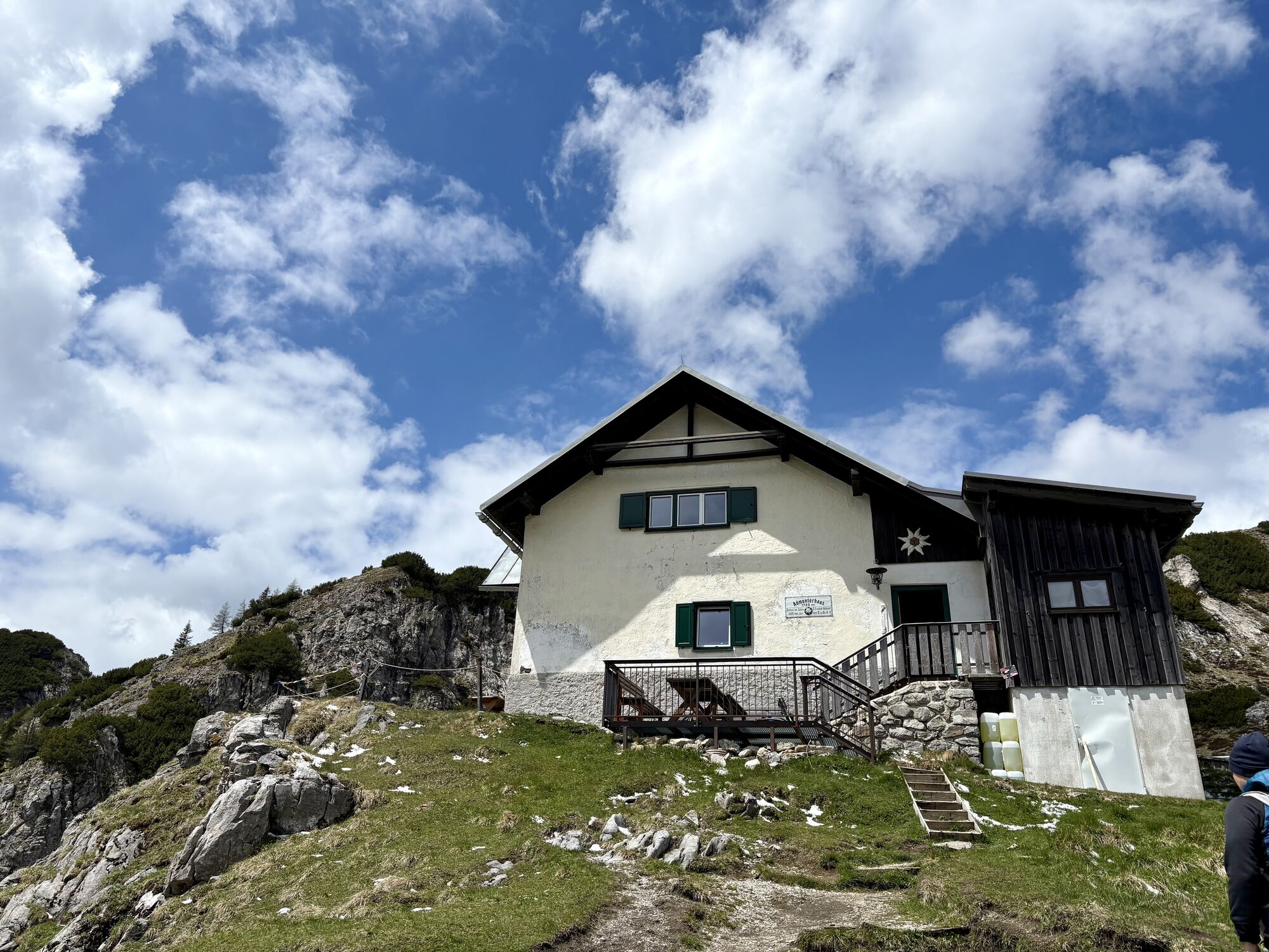
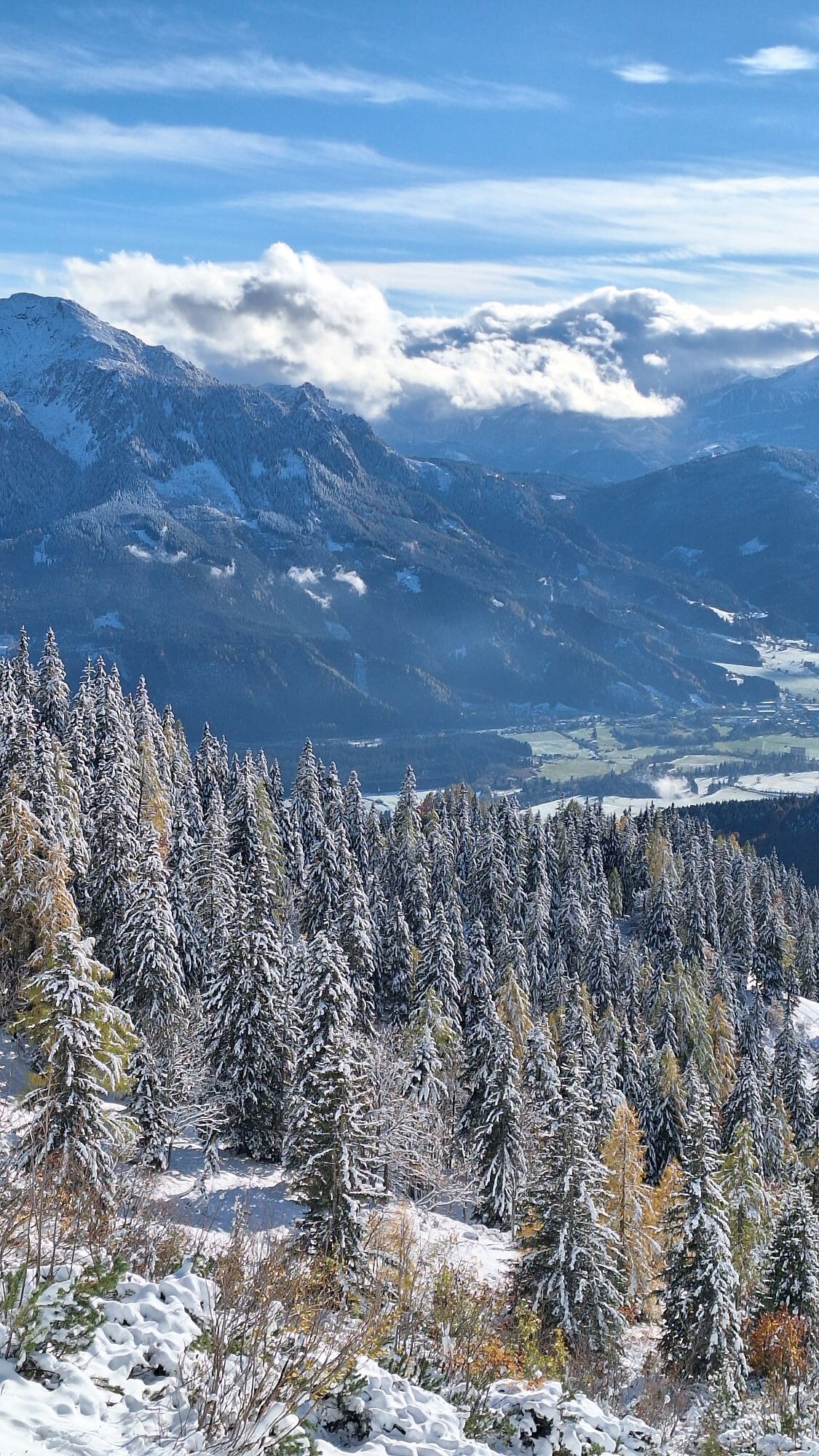
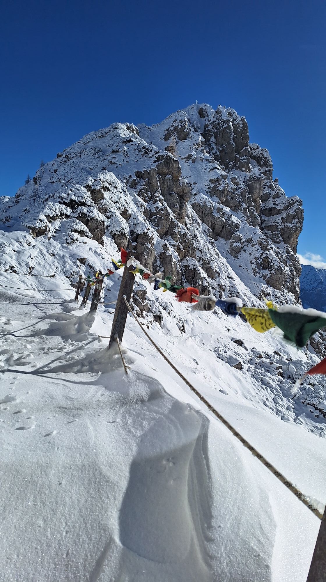
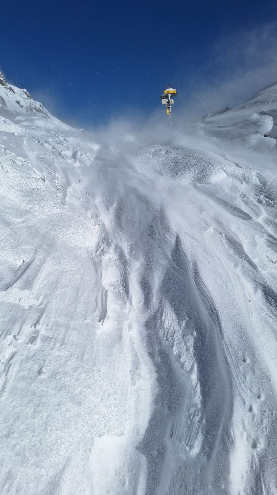
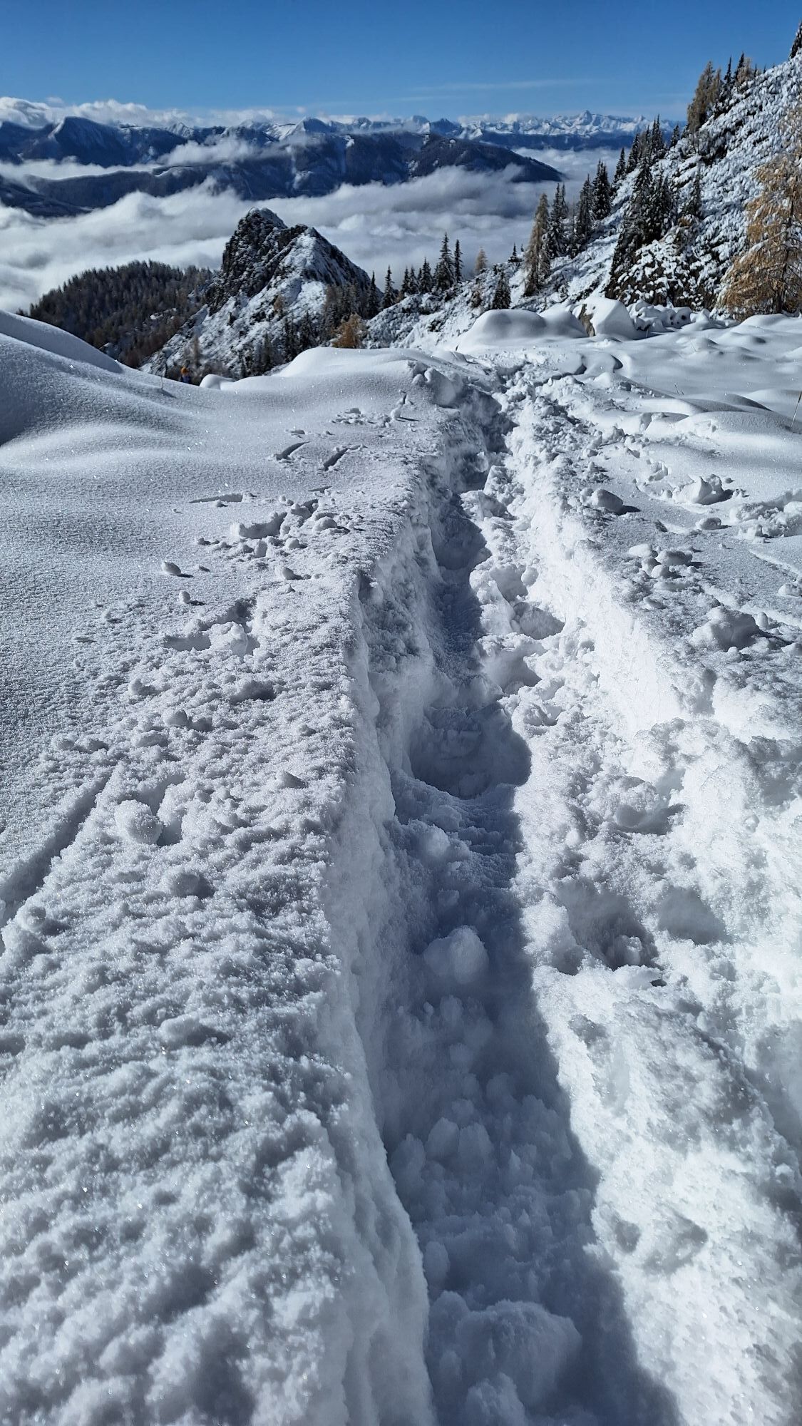
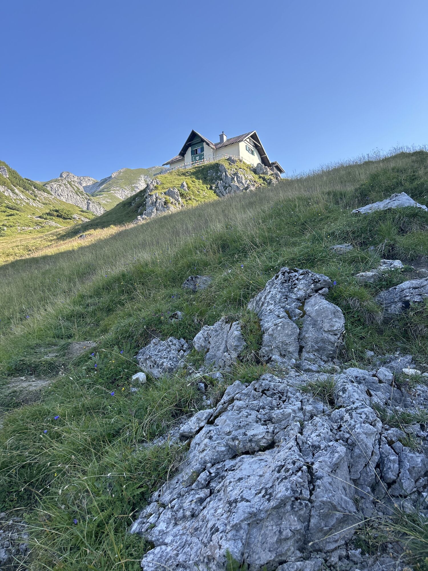
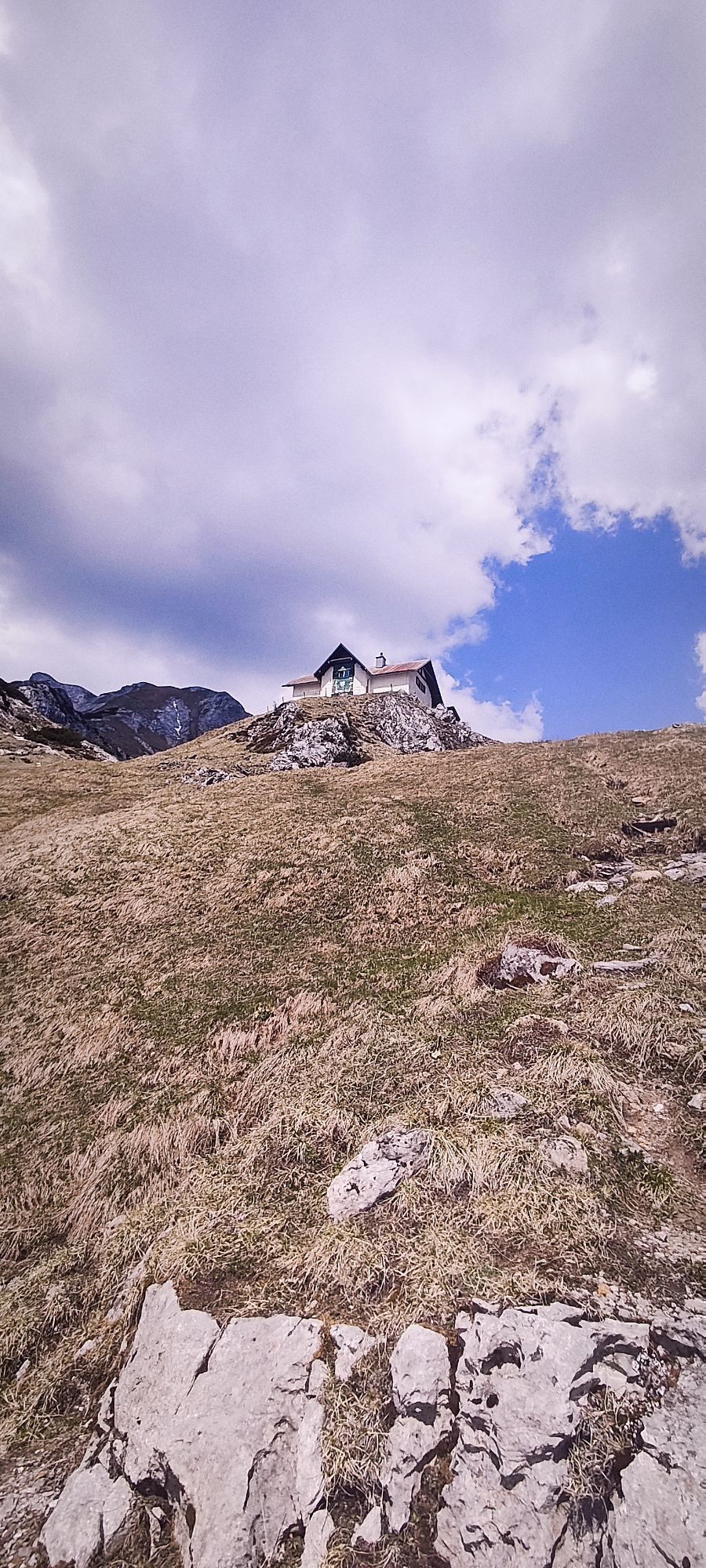
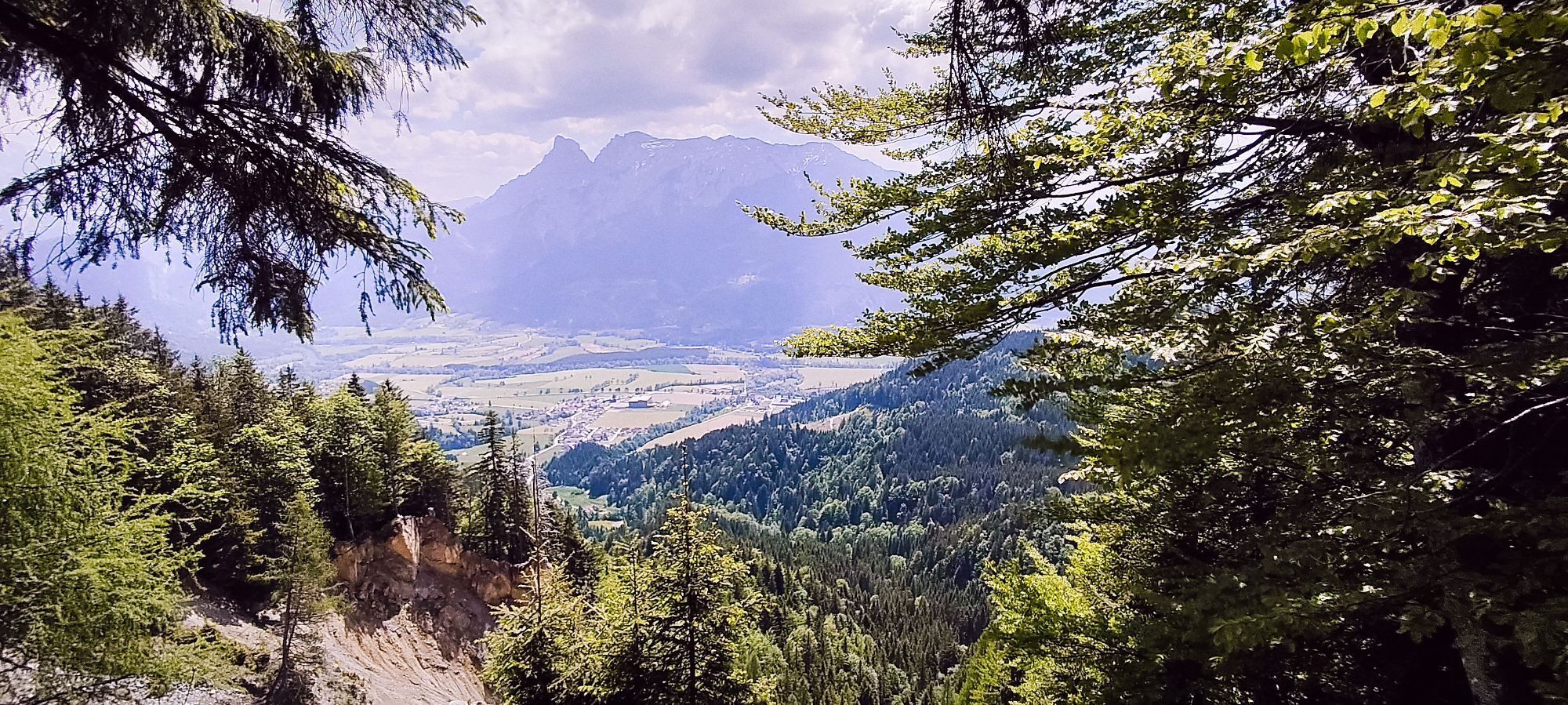
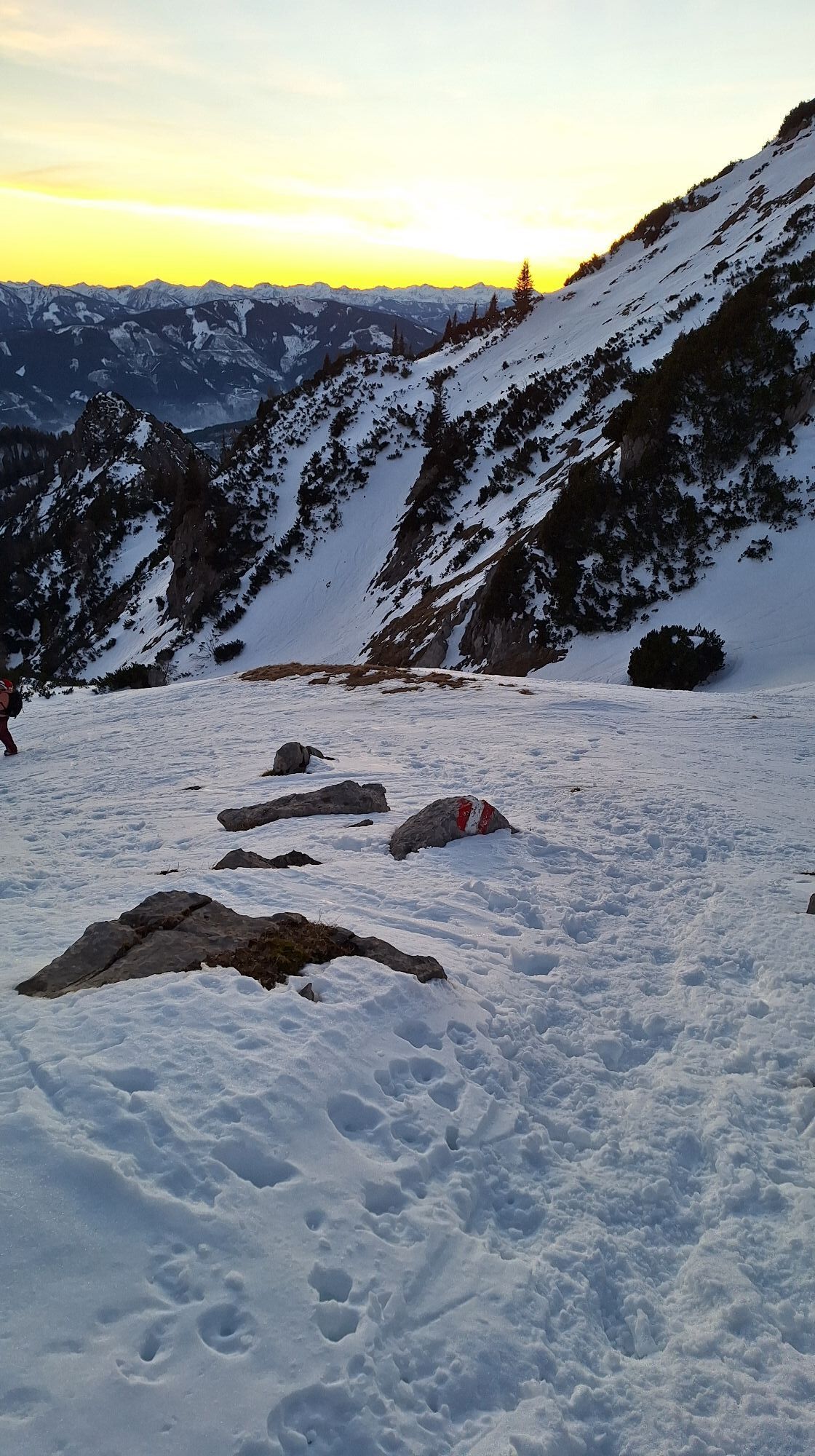
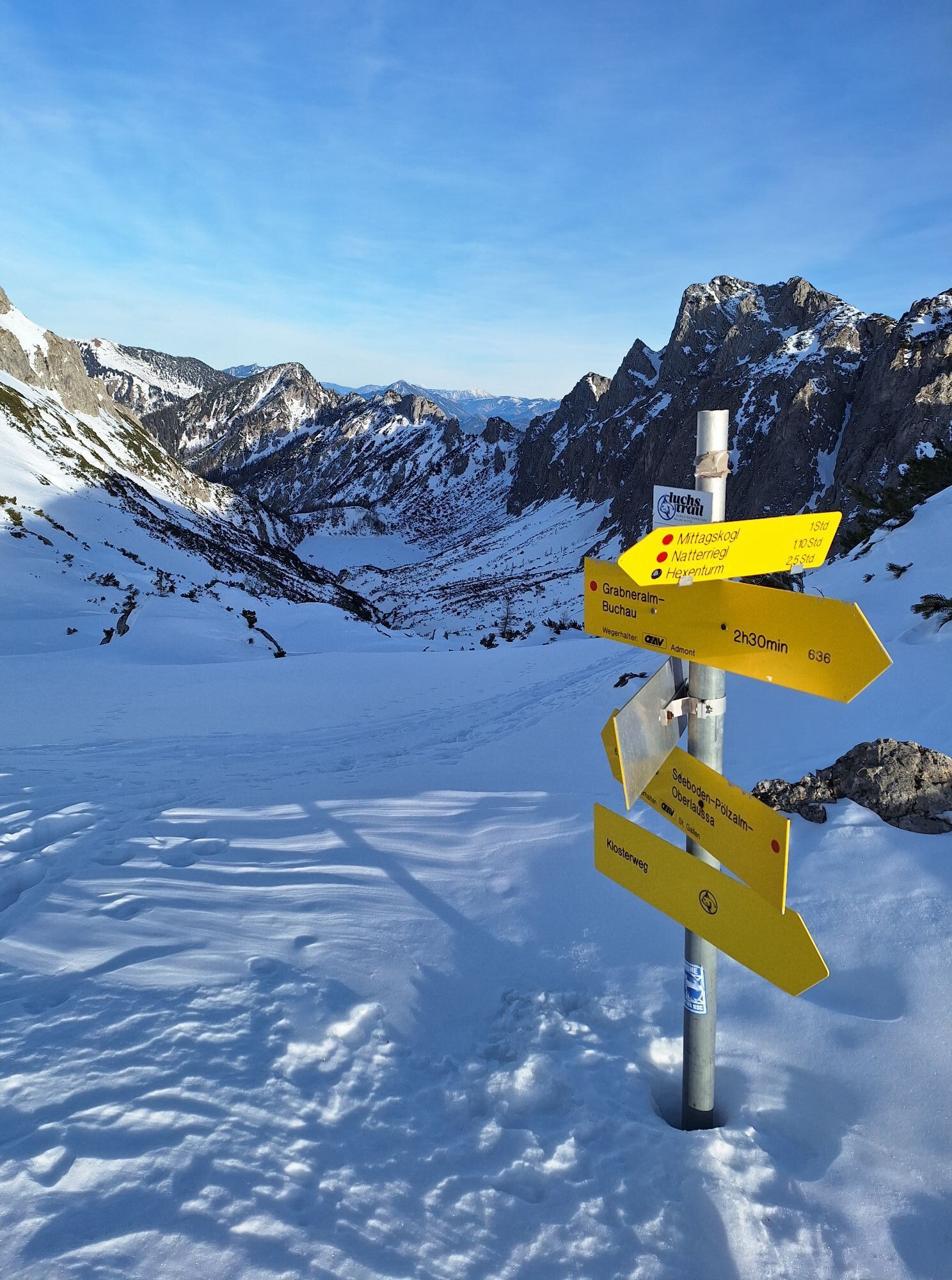
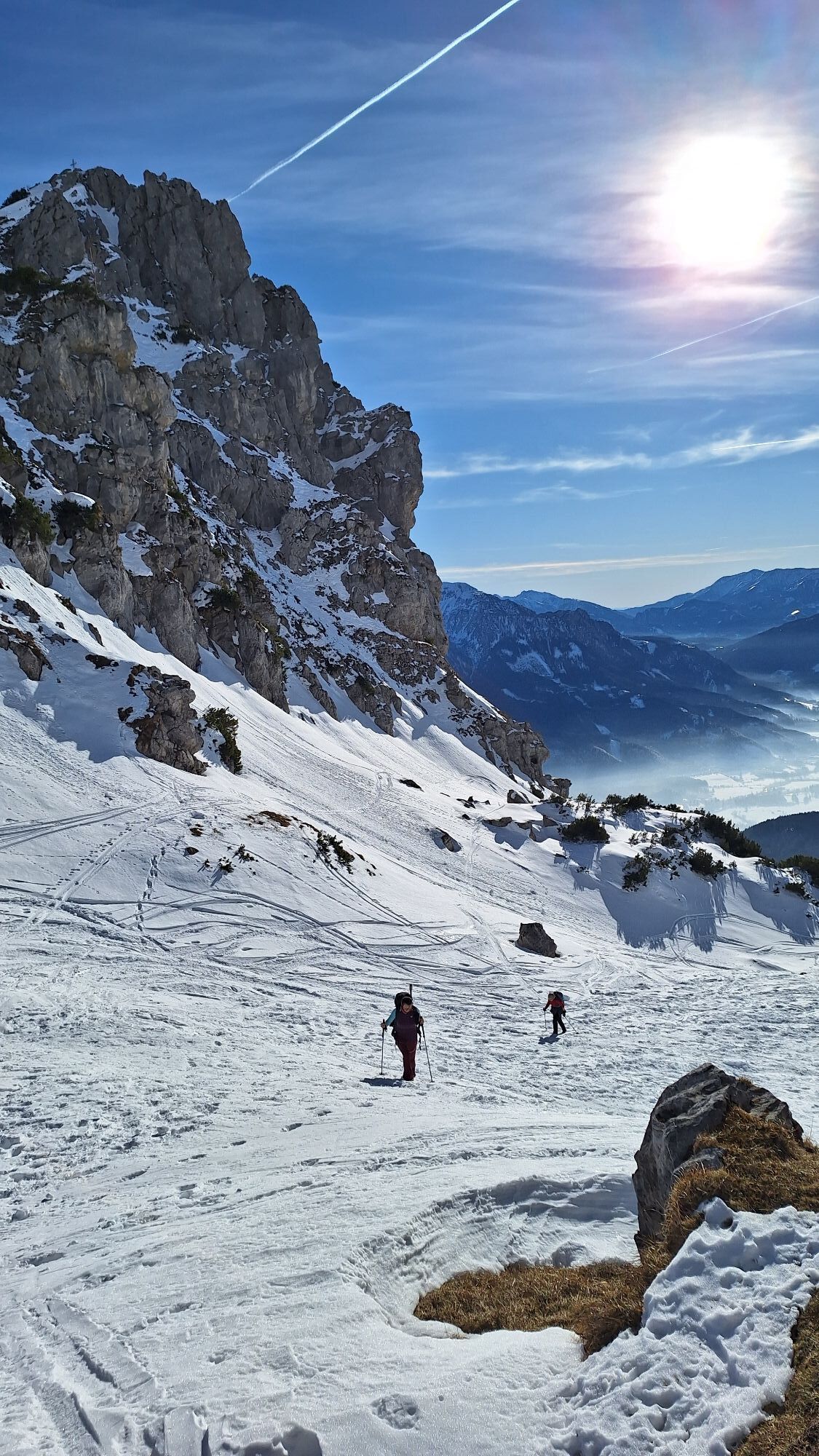
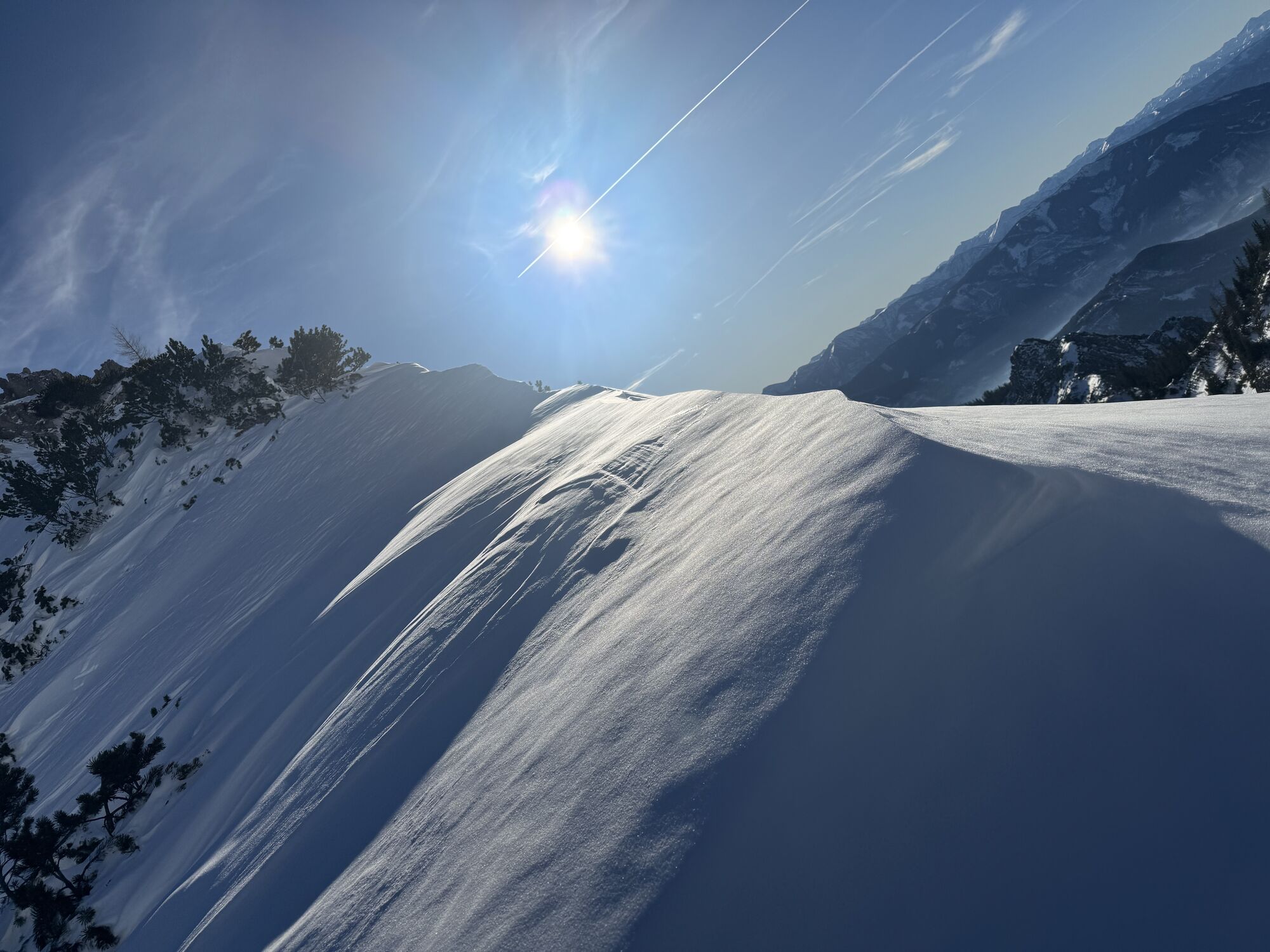

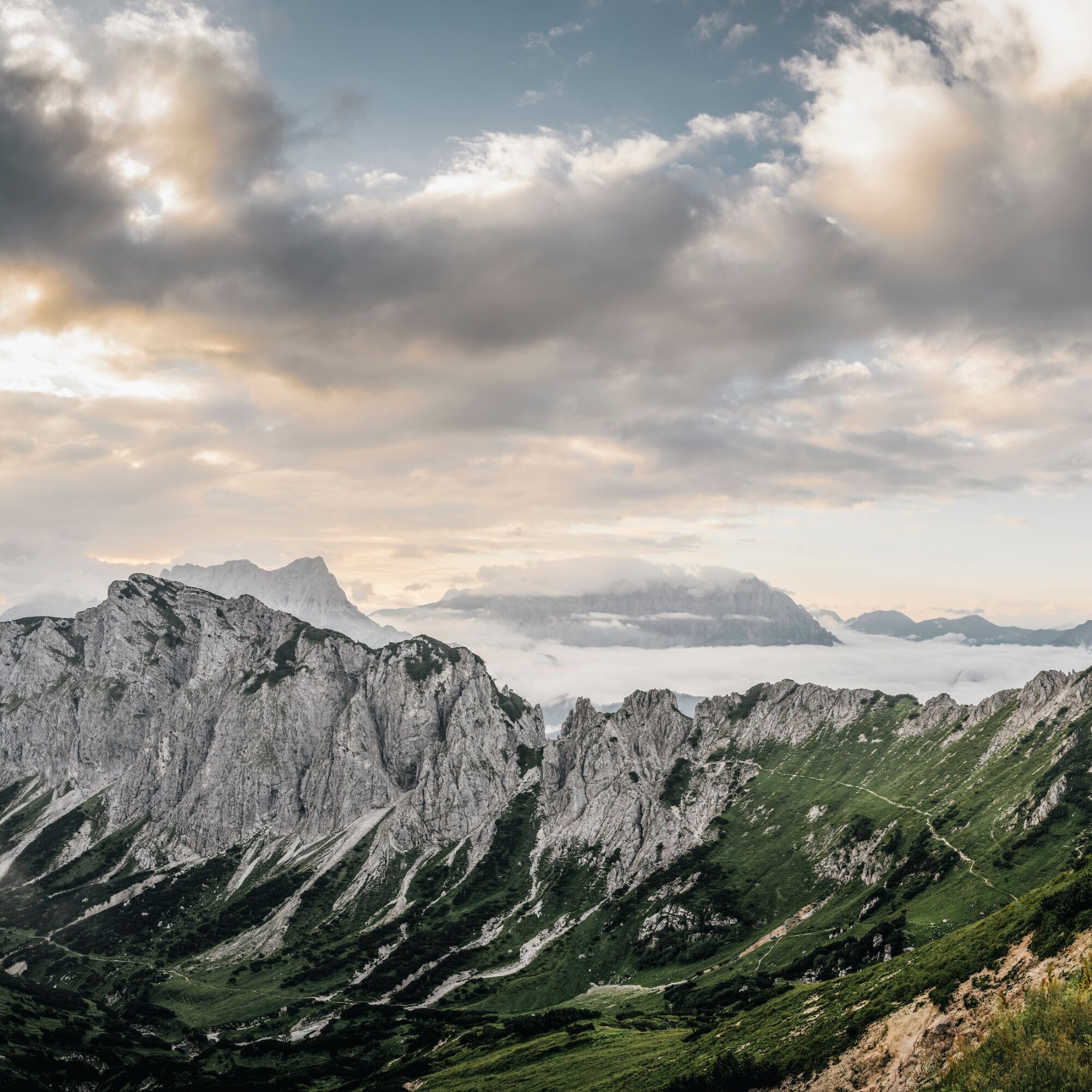
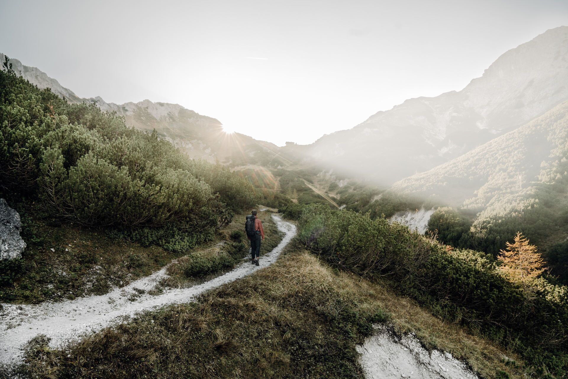
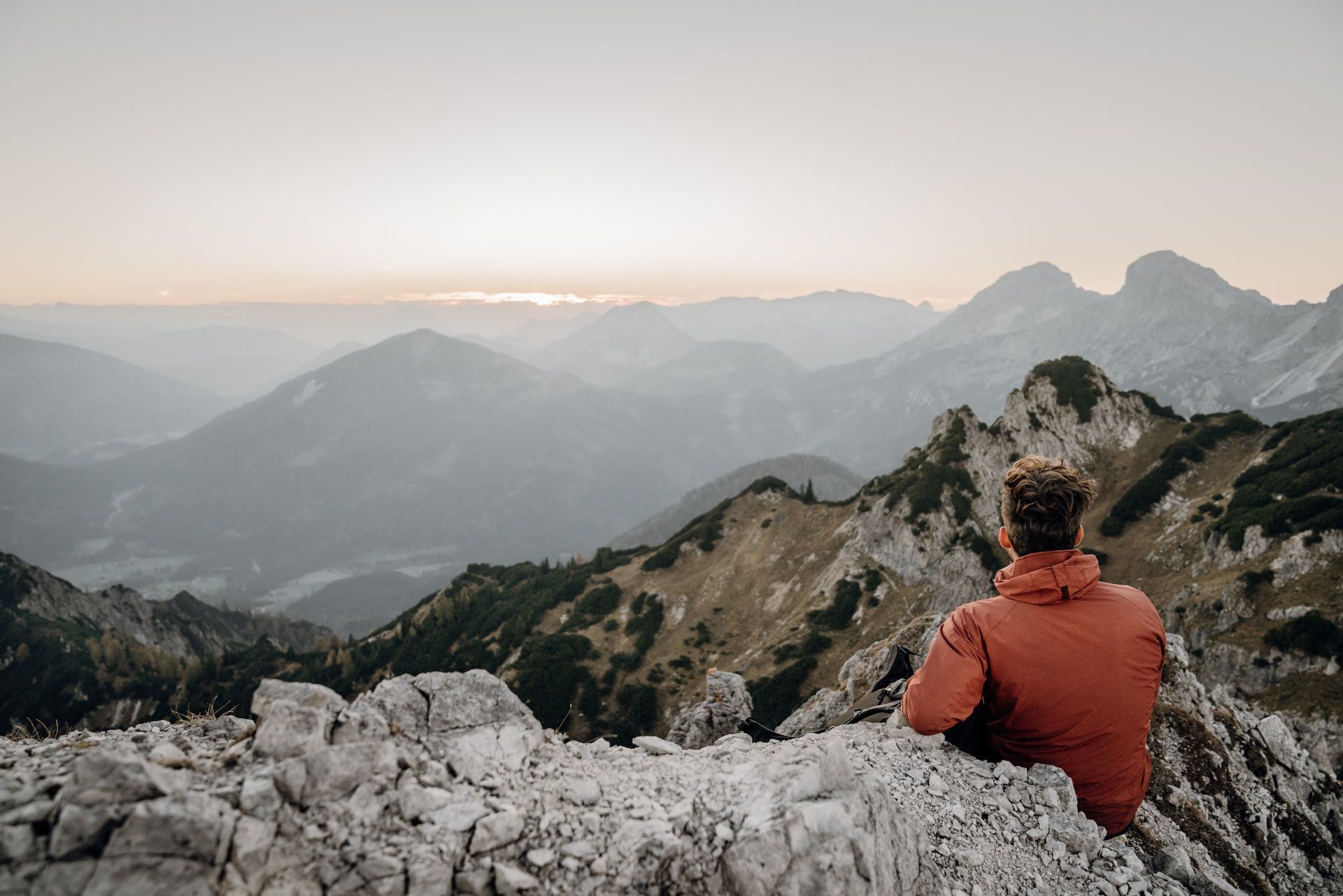
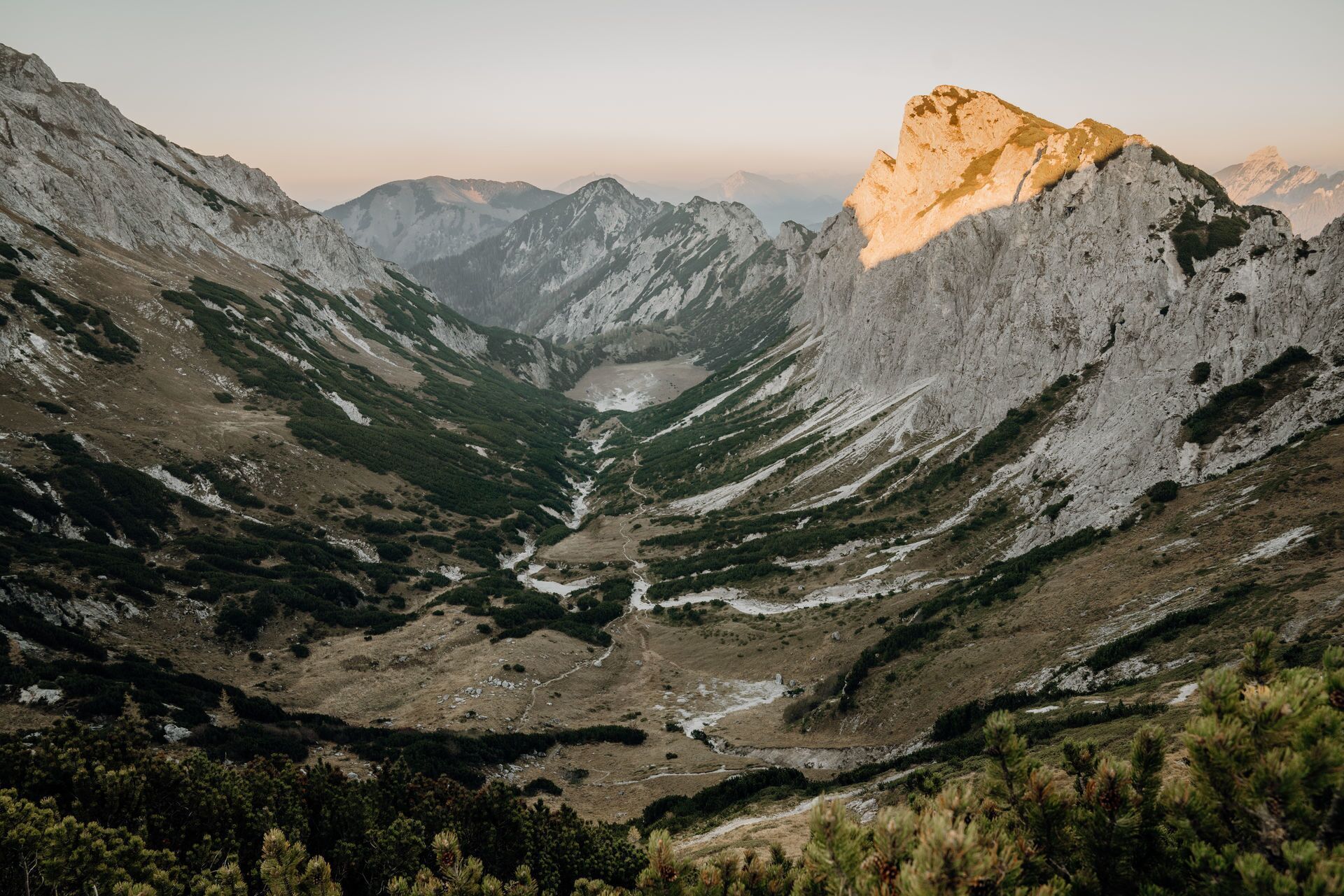
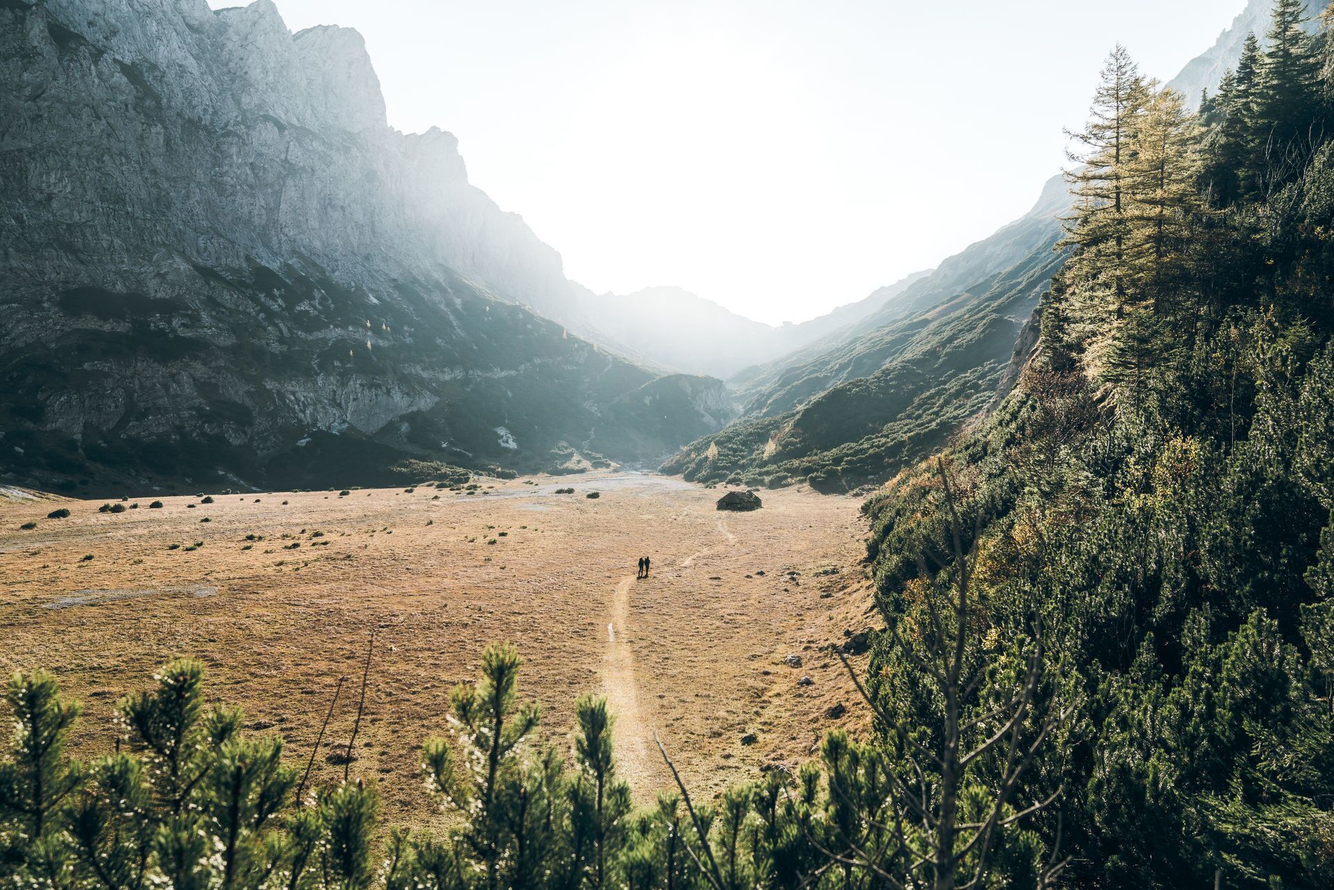
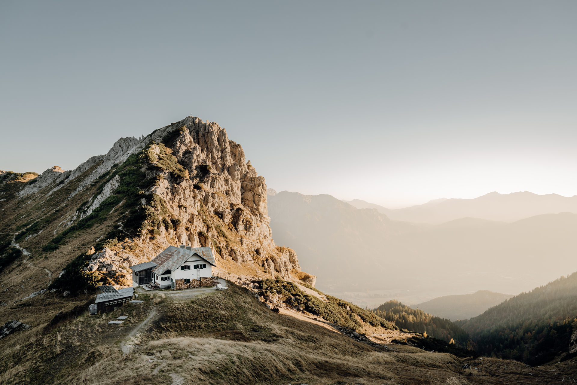
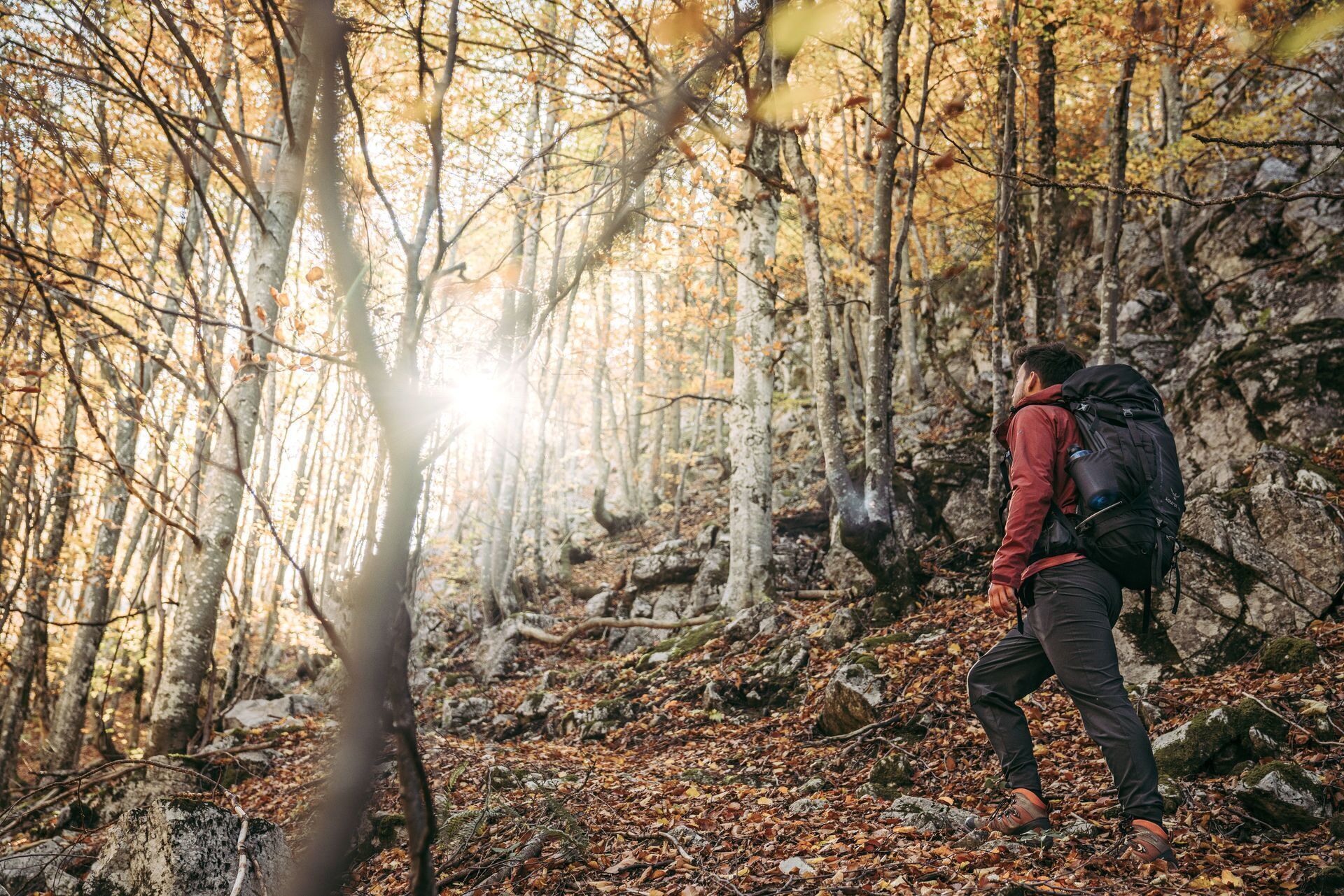
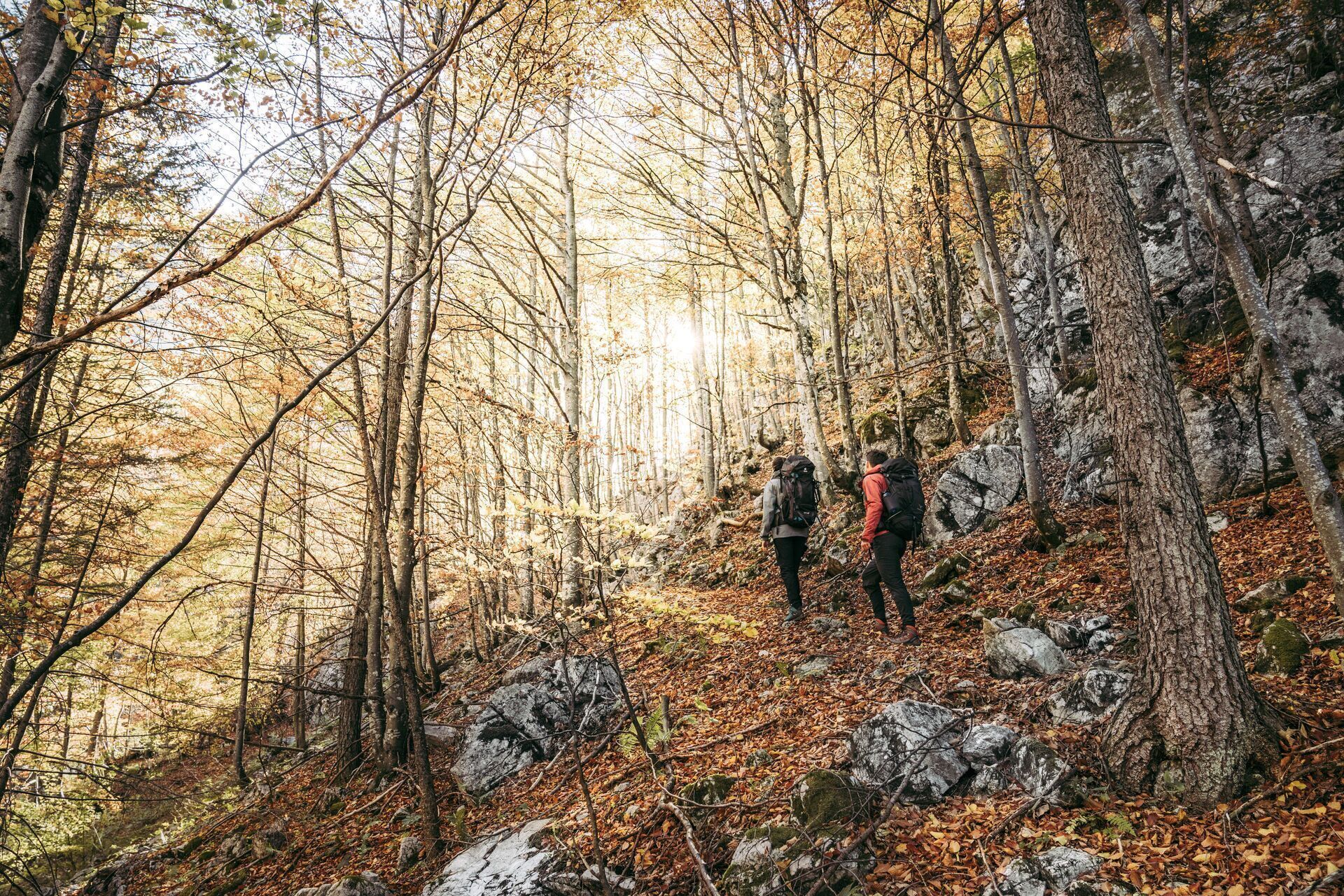
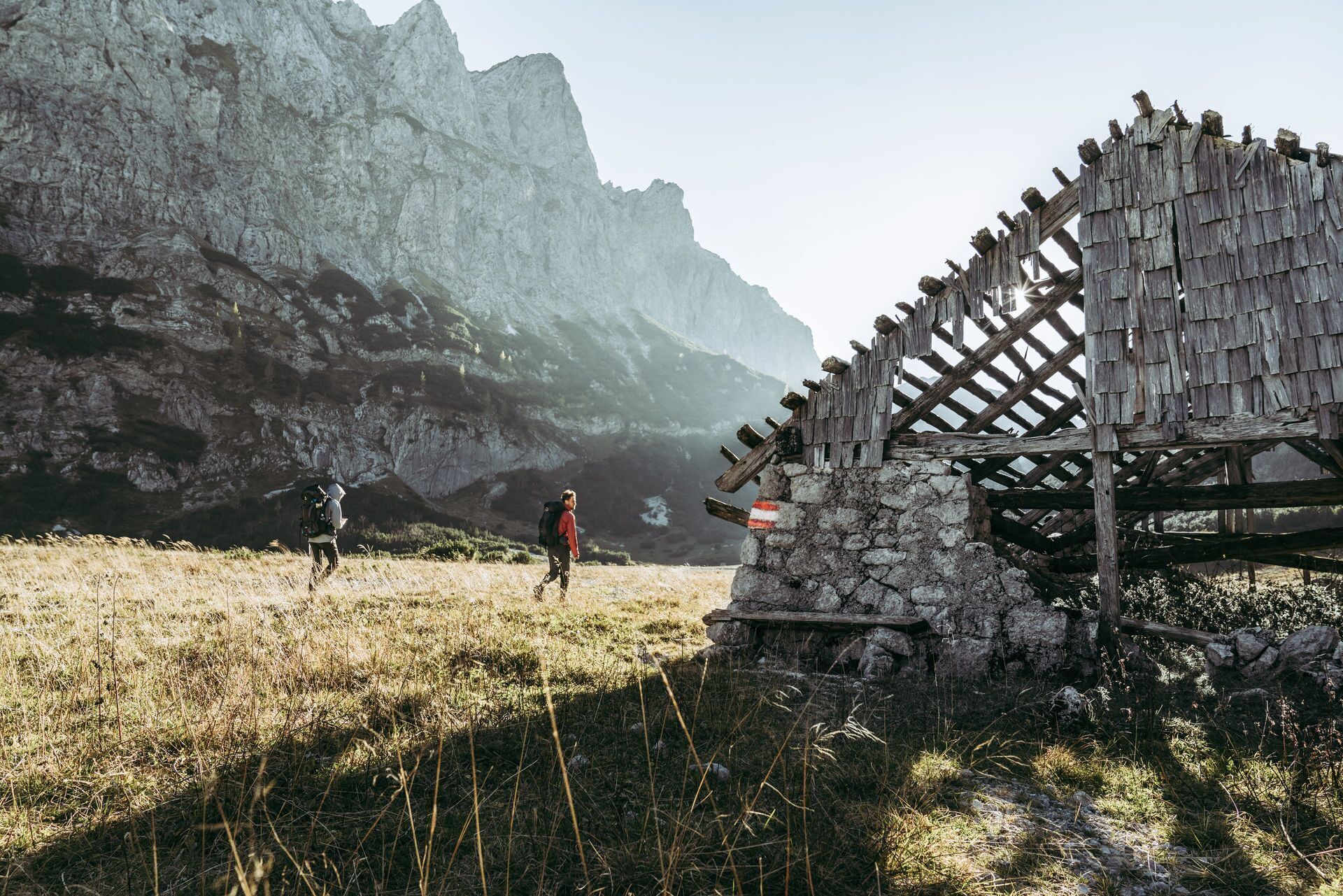
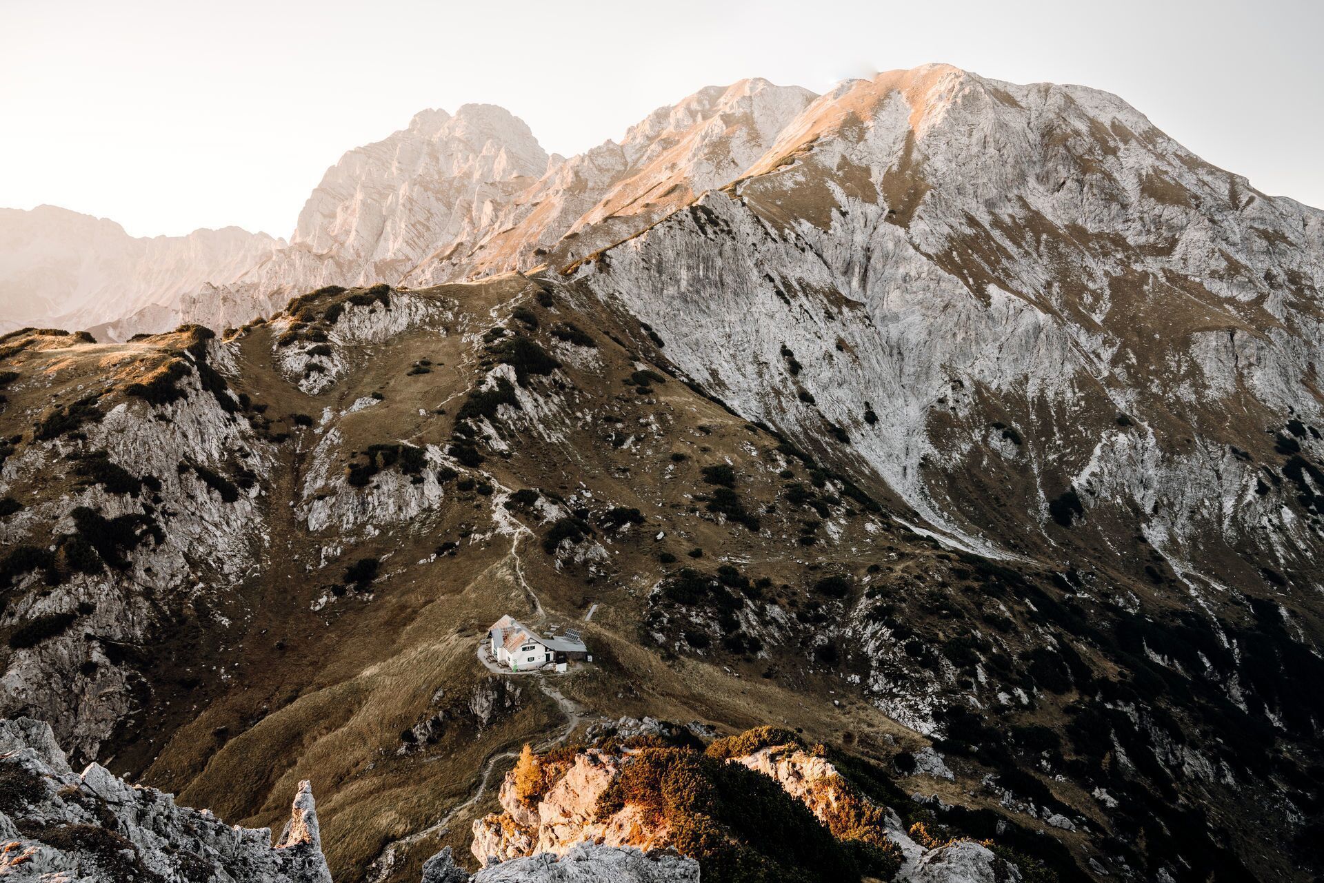
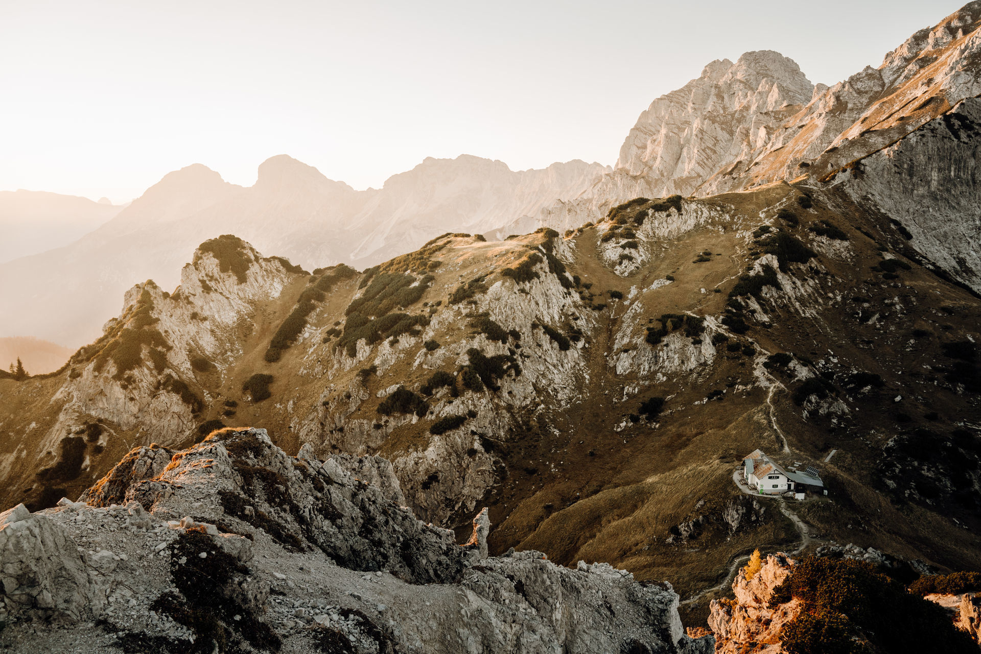
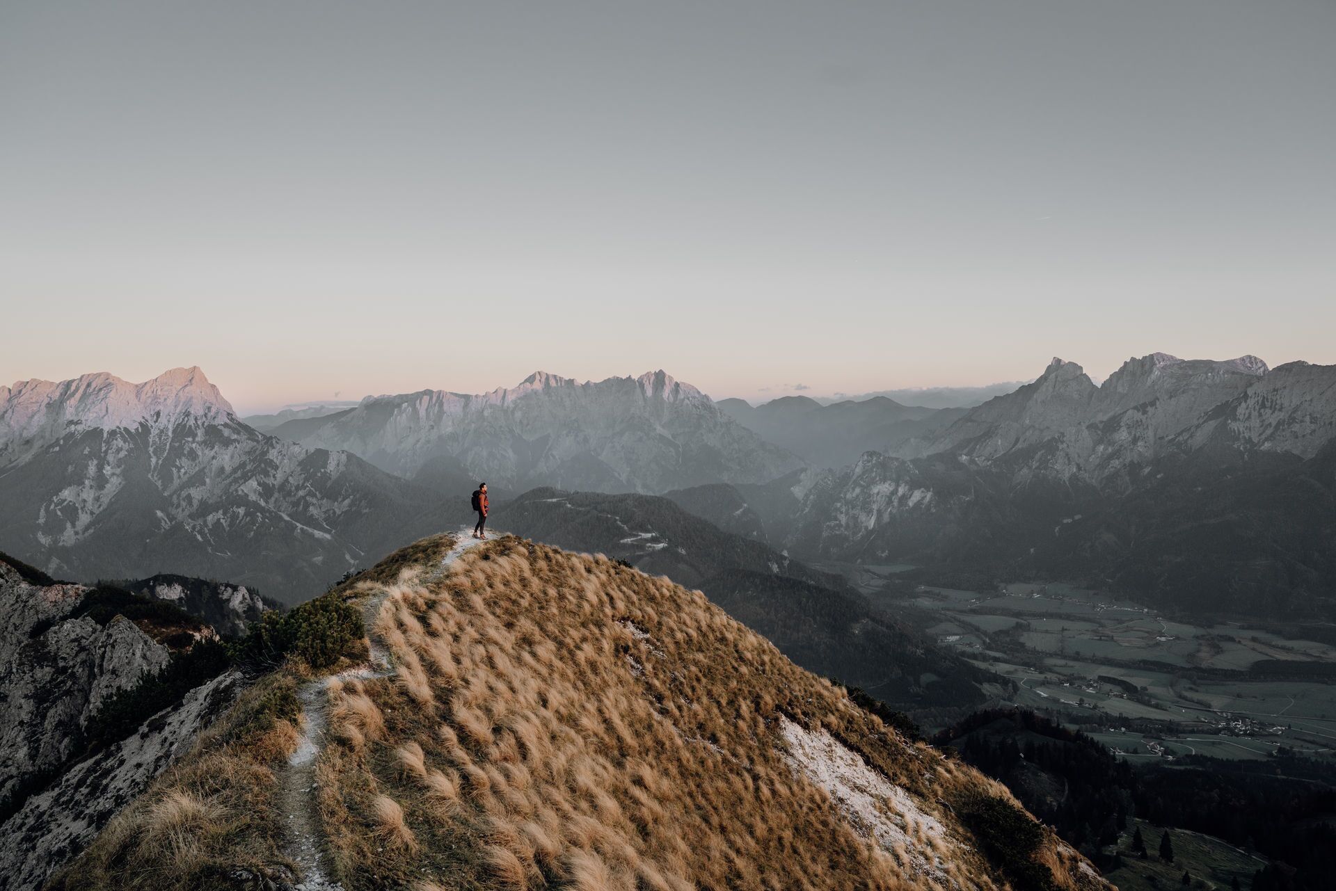

Follow the slightly ascending forest road and the Pölzalmbach uphill. You will pass some hunting and mountain hut buildings. In the area of the Mengg Alm, branch off onto a path that crosses the forest road several times up to the Klapfboden (997 m). From there, the path becomes steeper and there is a terrain step to overcome up to the Kleiner Seeboden. The Große Seeboden soon comes into view, an impressive basin. A short descent, then you hike through the flat valley floor in a south-westerly direction before tackling the last part of the trail uphill to the Admonterhaus.
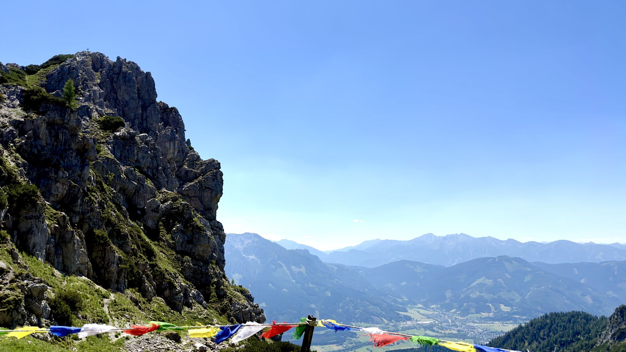
At the Admonterhaus, take the path downhill to Hall (2.5 hours). The trail leads through alpine pastures into a very natural forest. Passing the Johannesbründl, you quickly reach Hall and Admont.
In Admont, however, you shouldn't think about putting your feet up just yet, as a visit to the famous Admont Abbey with its small national park exhibition "Passion of the Explorer" is highly recommended.
You should also be well equipped for changeable weather.
Packing your rucksack correctly makes things a lot easier: pack heavy items first. The water bottle should always be within easy reach in a side pocket. All items that are often needed, such as sunglasses, smartphone or hiking map, should be on top.
Emergency call mountain rescue: 140
T3
Trail Angels GmbH
Obervellach 15, 9821 Obervellach
Tel.: +43 47 82 93 093
bookyourtrail.com
Info point Lower Austria:
Mostviertel Tourismus
Töpperschloss Neubruck
Neubruck 2/10, 3270 Scheibbs
Tel.: +43 (0)7482/204 44
info@mostviertel.at
Info point Upper Austria:
Alpenland Tourismus GmbH
Bahnhofstraße 2, 4580 Windischgarsten
Info office: Reichraming Tel.: +43 7252 53229-40
reichraming@360alpenland.com
alpenland@360.com
Information office Styria:
Tourismusverband Gesäuse
Hauptstraße 35, 8911 Admont, Austria
Tel. +43 (0) 3613 21160 10
info@gesaeuse.at
www.gesaeuse.at
It is recommended to contact the Trail Info & Booking Center before booking.
Offers at: bookyourtrail.com
Pridobite vpogled Vedno v živo na mestu z več kot 9.500 spletnimi kamerami. bergfex Kot uporabnik Pro si lahko zdaj ogledate ustrezne spletne kamere za številne izlete v aplikaciji izleti iz. Tako si lahko neposredno ogledate trenutne razmere. 


Priljubljeni izleti v okolici
- 4.2
Gstatterboden: Tamischbachturm
Pohodništvo 8.23 km - 4.2
Gstatterboden: Gr. Buchstein auf dem Normalweg
Pohodništvo 15 km - 4.8
Hesshütte
srednjaPohodništvo 6.21 km - 4.9
Ennstalerhütte Normalweg
srednjaPohodništvo 14.9 km - 4.8
Kaiserau - Klinkehütte - Lahngangkogel - Wagenbänkalm
srednjaPohodništvo 9.57 km - 4.7
Von Johnsbach zur Mödlingerhütte zum Heldenkreuz
srednjaPohodništvo 11.9 km - 4.6
Von der Bosruckhütte auf den Großen Pyhrgas
težkoPohodništvo 9.57 km - 4.6
Über den Wasserfallweg auf die Planspitze und über die Hesshütte hinunter nach Johnsbach
težkoTematska pot 14.1 km - 4.6
Über die Gsengscharte auf die Haindlkarhütte
srednjaPohodništvo 8.38 km - 4.6
Natterriegel über Mittagskogel
težkoPohodništvo 14.6 km
Pohodništvo in sledenje


Ne zamudite ponudb in navdiha za naslednje počitnice
Vaš e-poštni naslov je bil dodan na poštni seznam.





