







Nibelungengau long-distance trail 1: Sarmingstein – Persenbeug (feeder to/from Donausteig)


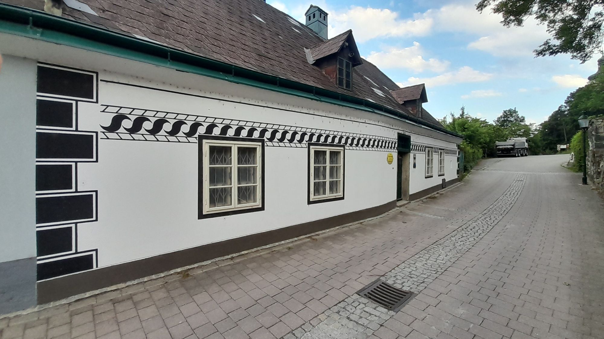
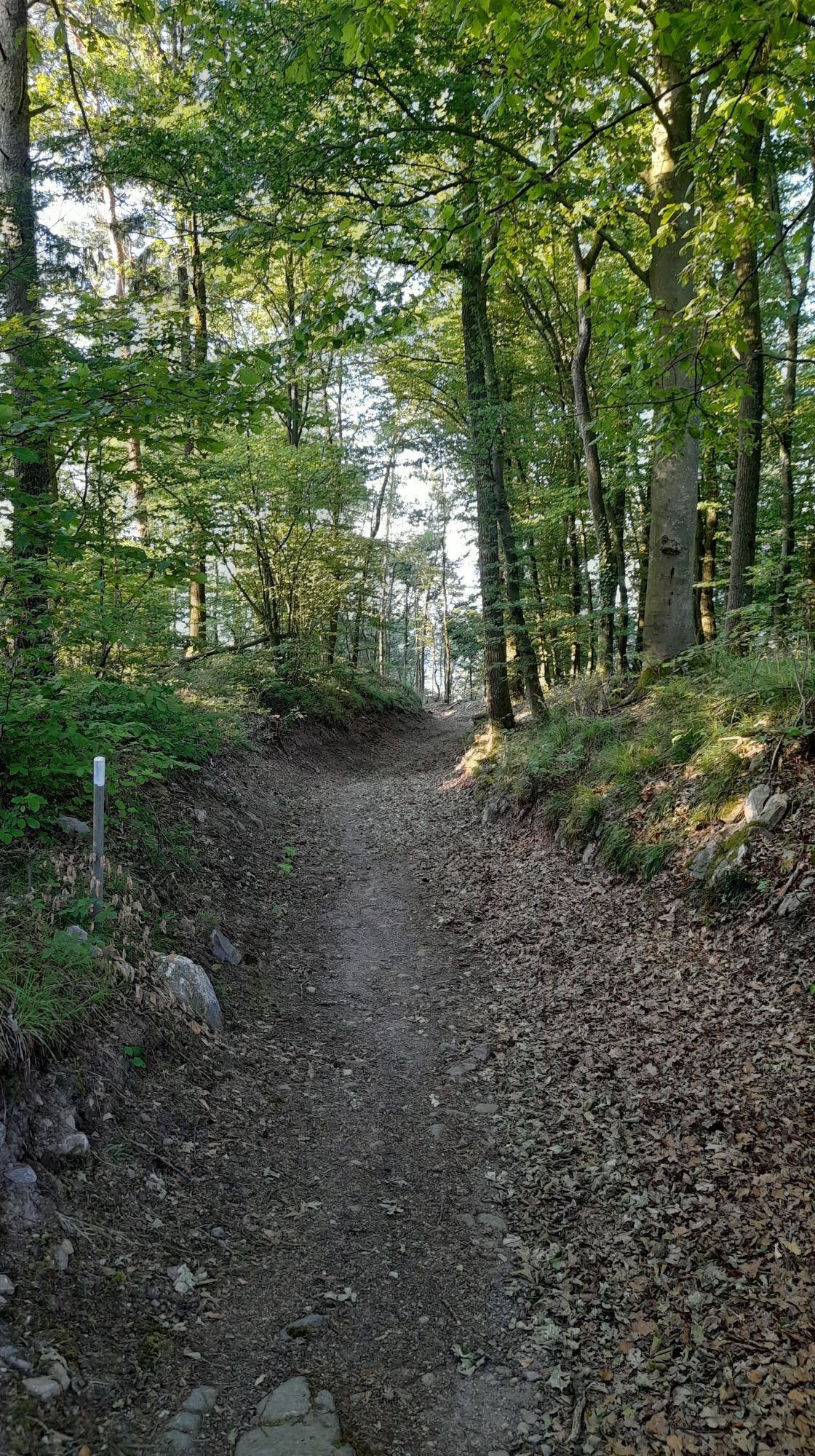
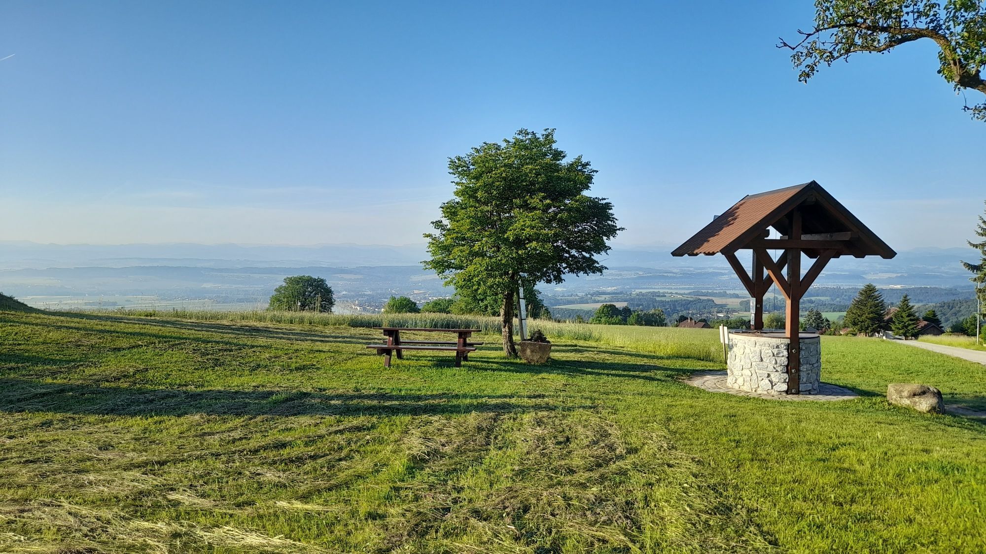
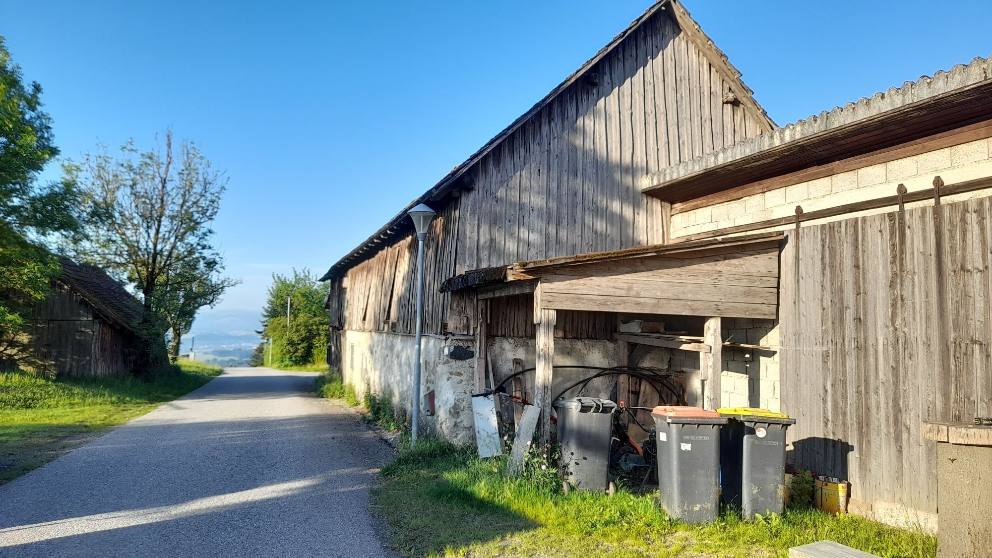
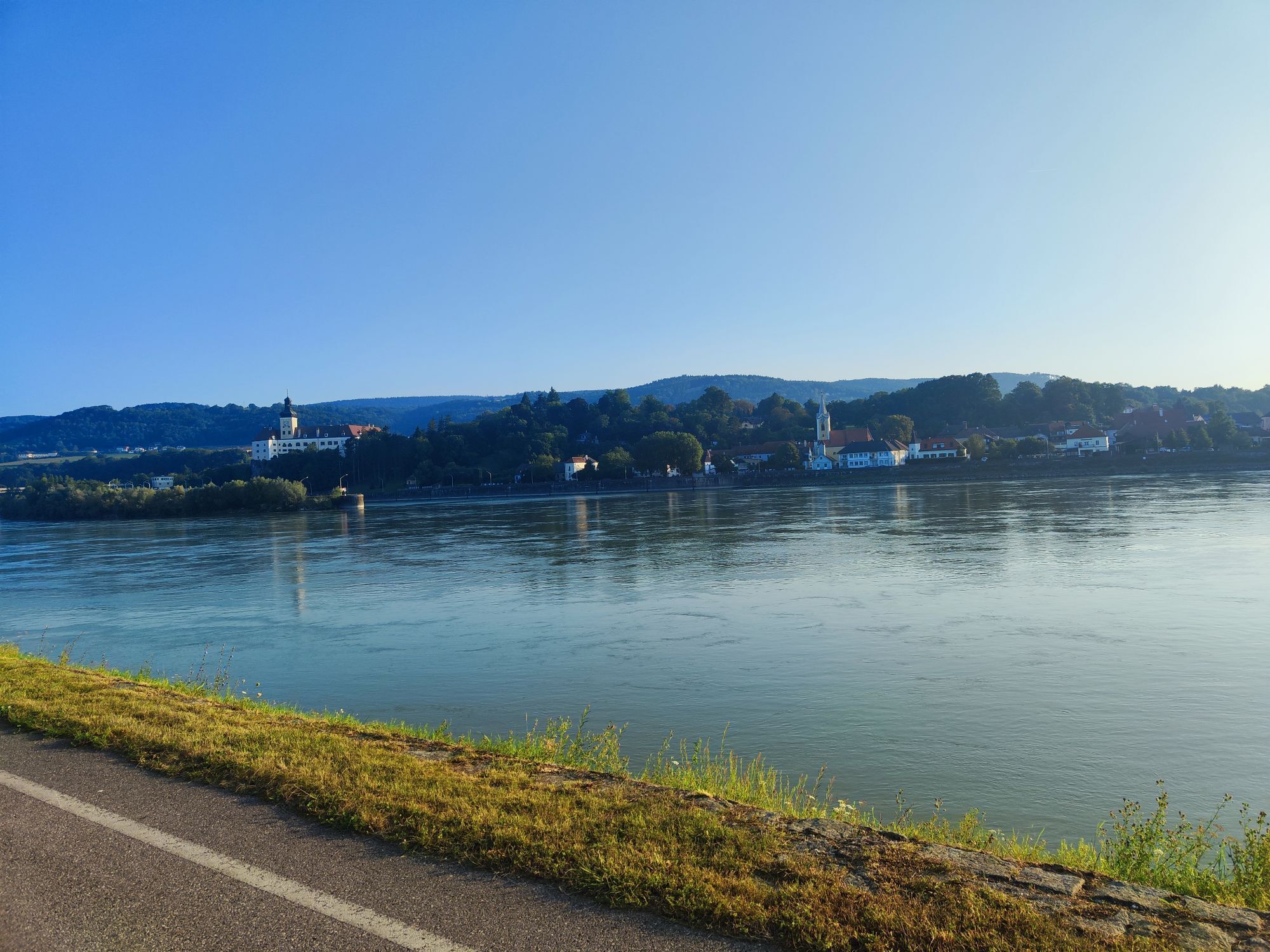
The stage starts at the Strudengauhof inn in Sarmingstein and first leads uphill to Nöchling. After Mitterndorf, the route continues steeply downhill towards Yspertal, Rottenberg and Viehtrift. An approx....
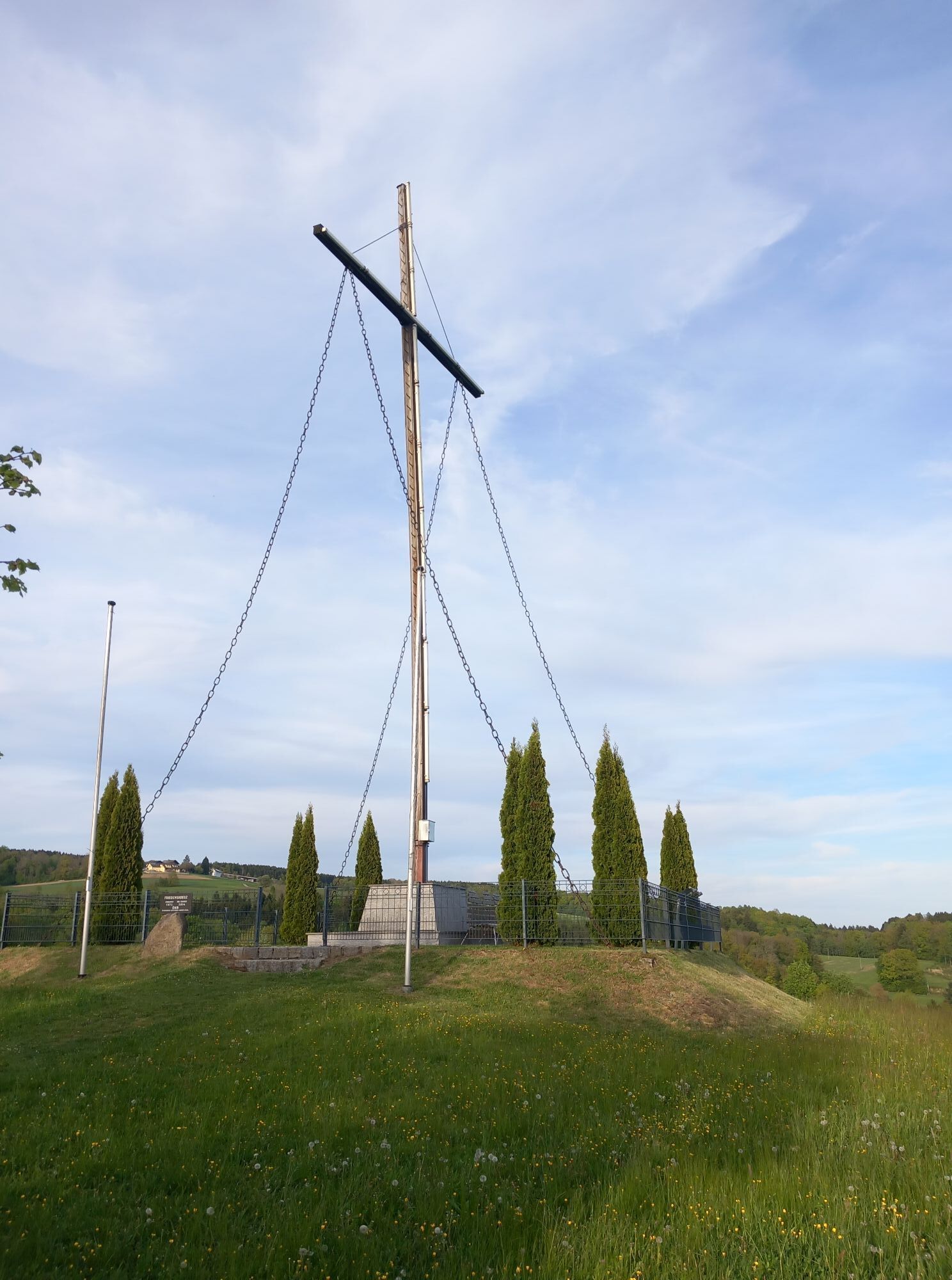
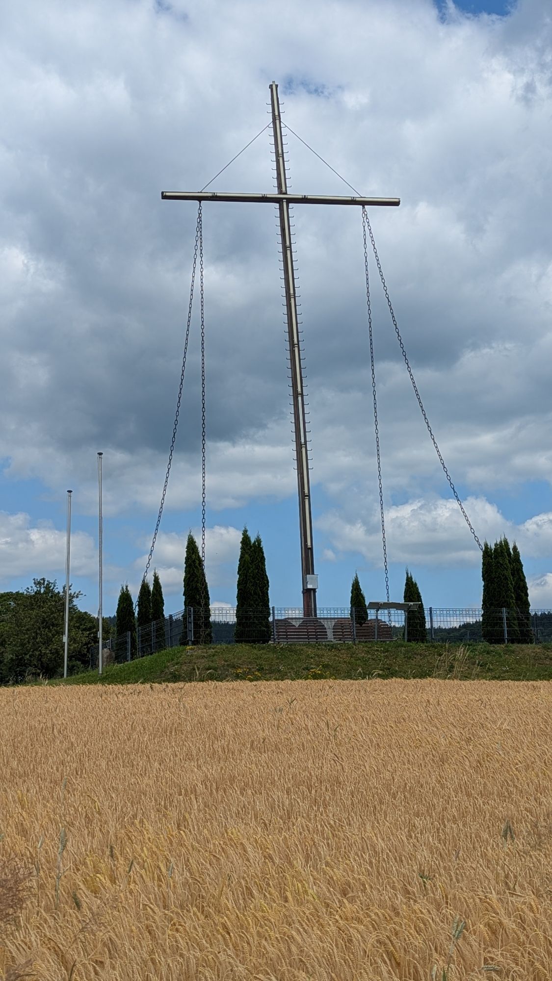
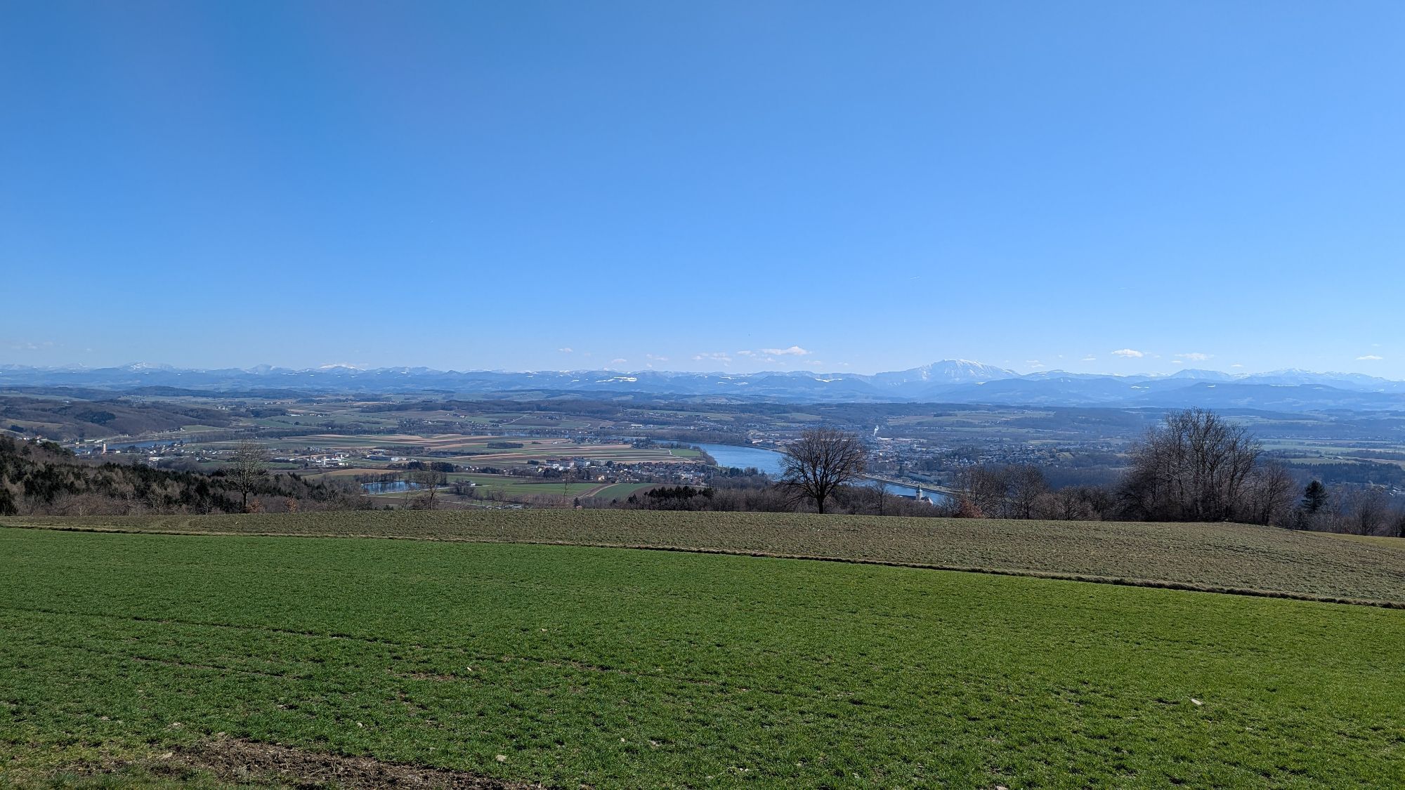
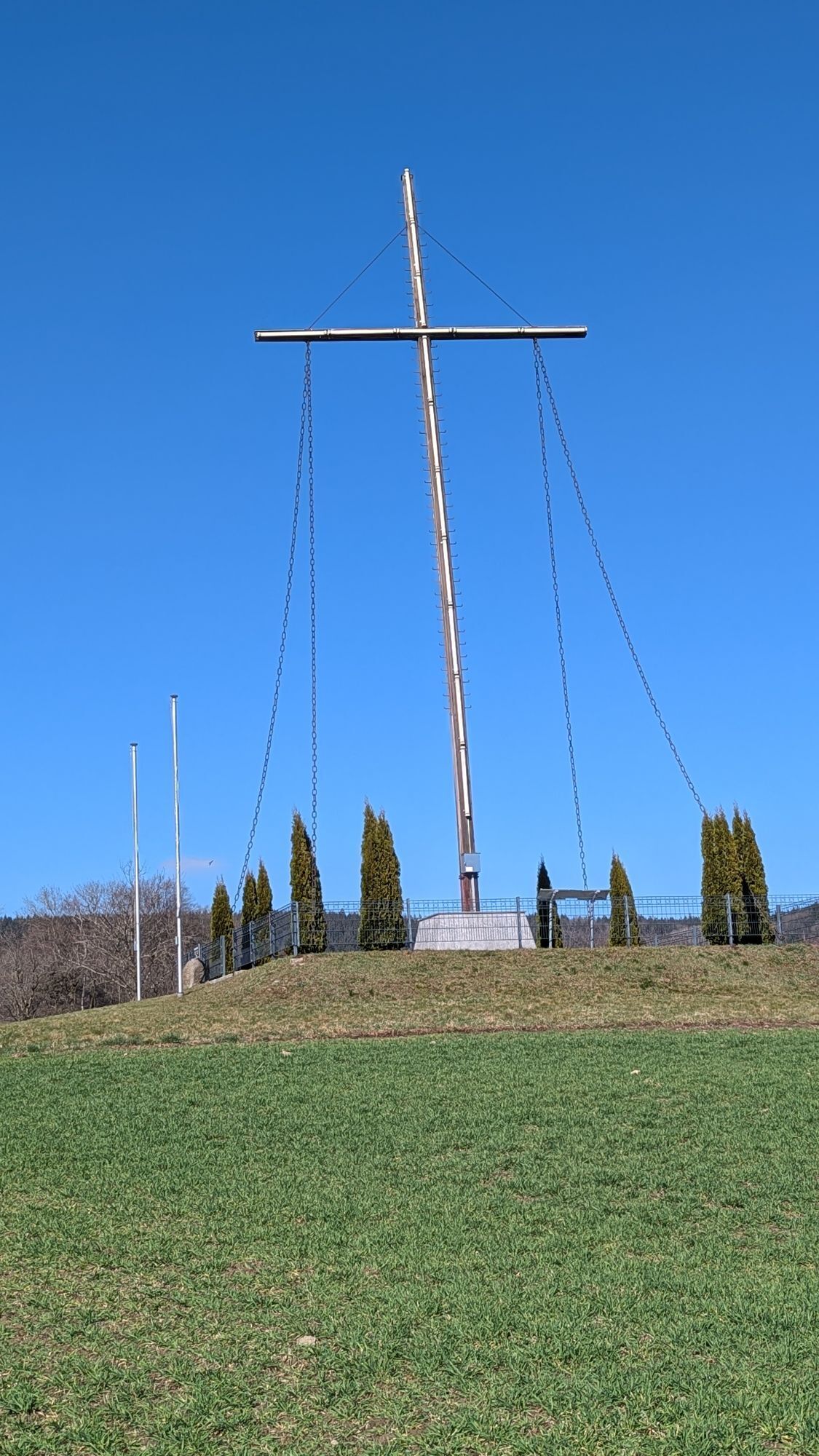
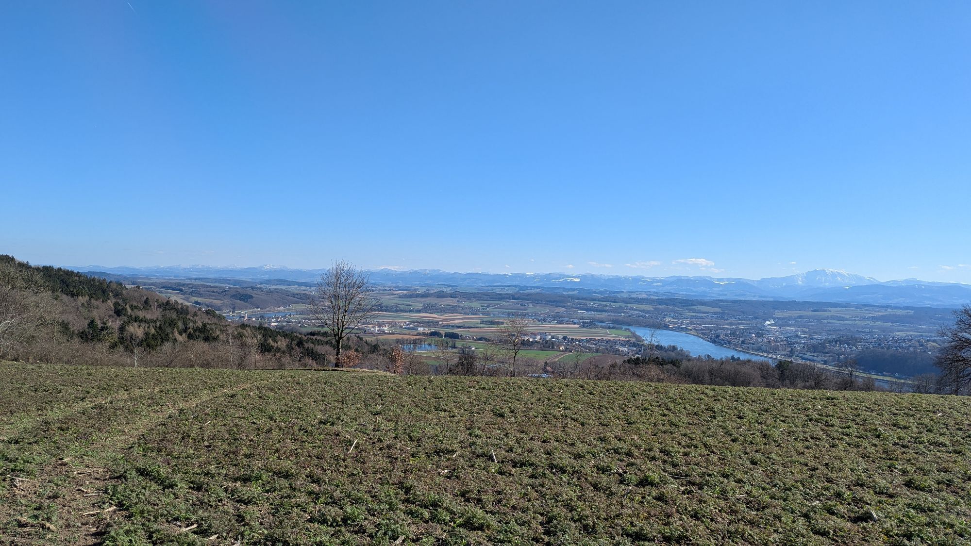
The stage starts at the Strudengauhof inn in Sarmingstein and first leads uphill to Nöchling. After Mitterndorf, the route continues steeply downhill towards Yspertal, Rottenberg and Viehtrift. An approx. 2 km long forest road takes you to the Hubertusmarterl. You then come to a wonderful viewpoint at the Friedenskreuz before continuing through Hofamt Priel to the Donaulände in Persenbeug.
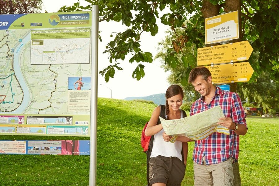
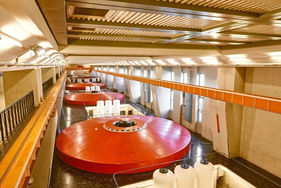
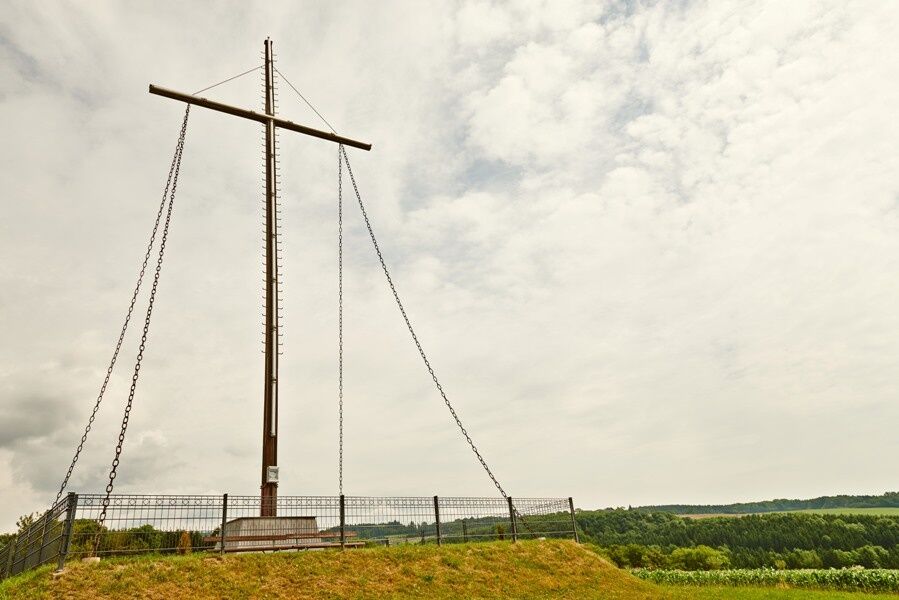
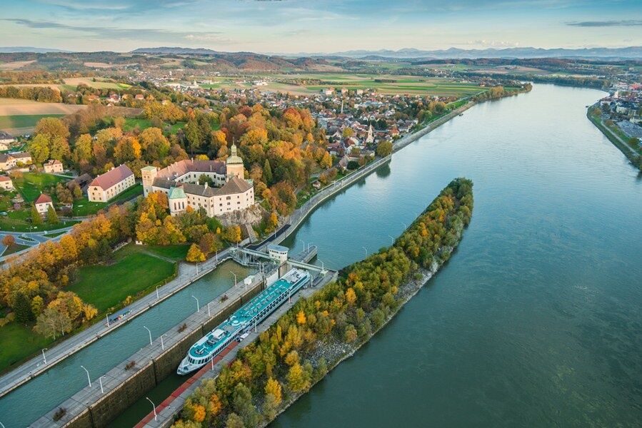

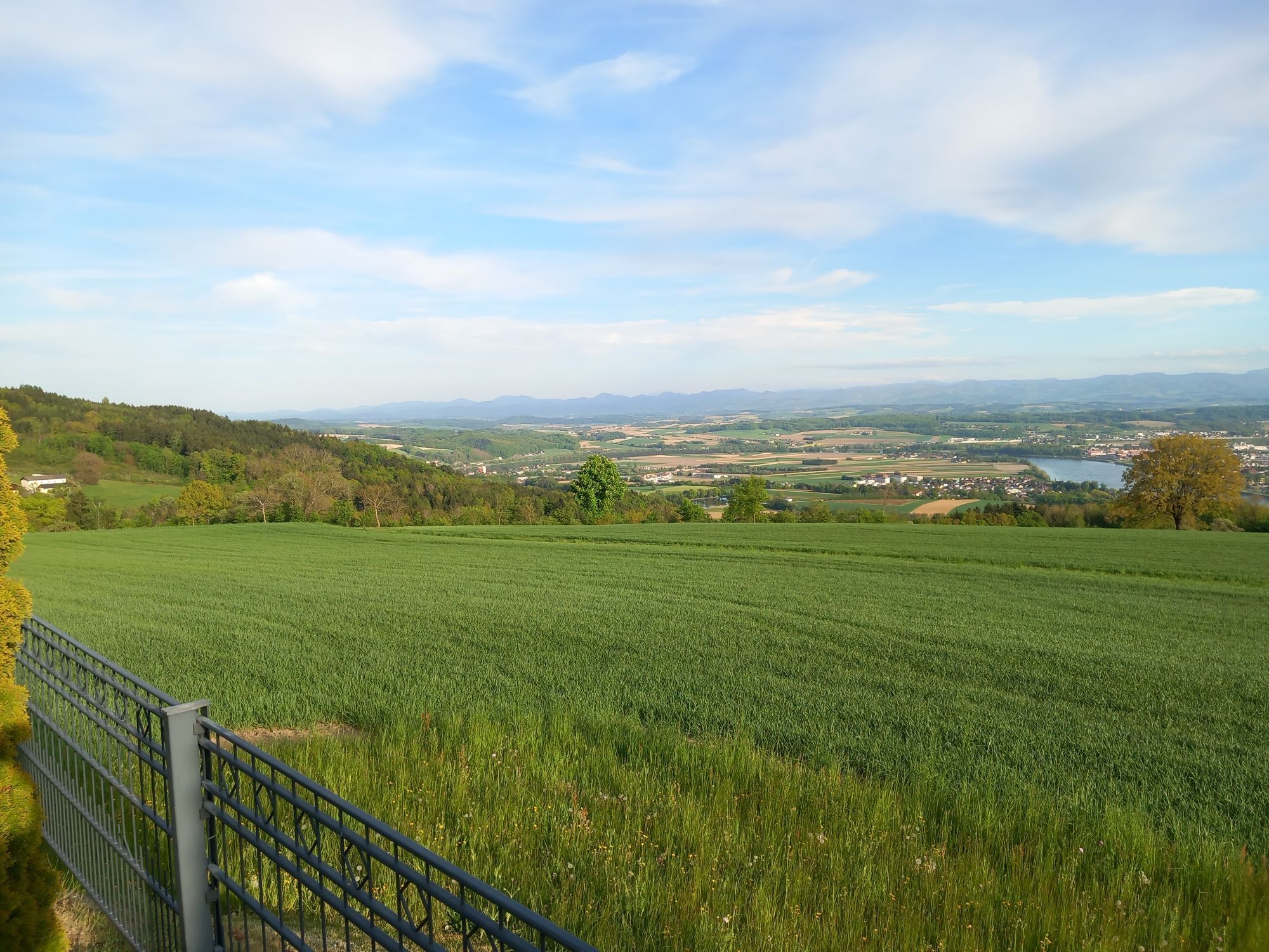
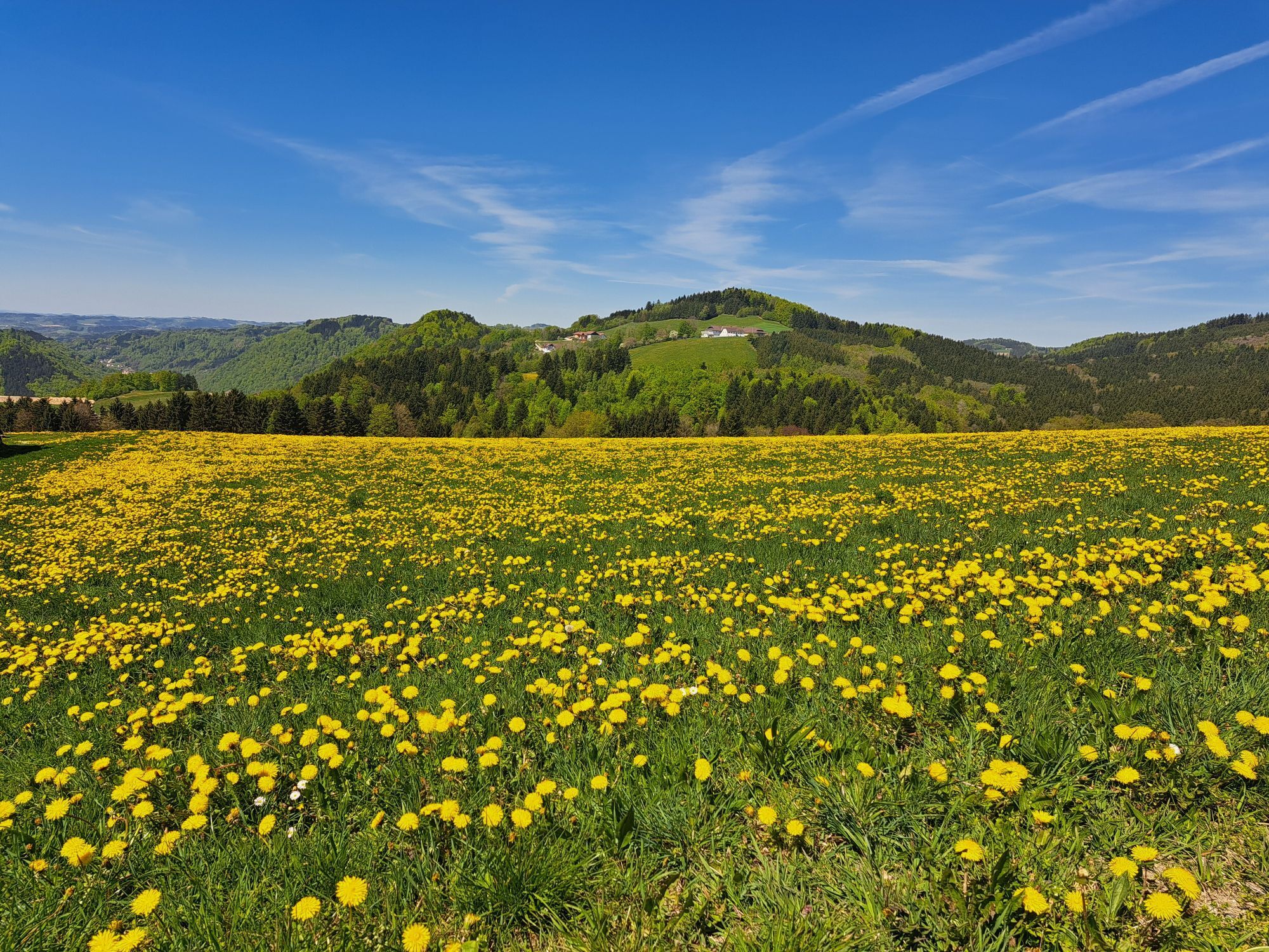
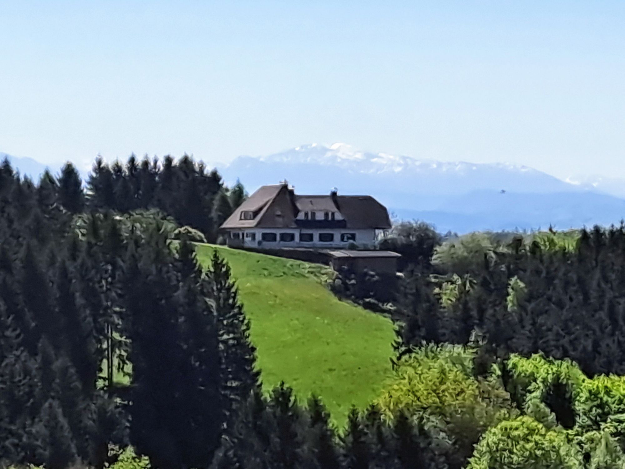
The stage starts at the Strudengauhof guesthouse in Sarmingstein. The path leads uphill through a woodland area to Nöchling. At the beginning of the village, a shady spot next to a chapel invites you to linger and offers magnificent views of the Alpine panorama. The route continues through the village on asphalt to Mitterndorf. Afterwards, a steep woodland section descends towards Yspertal. Part of the path runs along the road before you reach Rottenberg through a steep forest section. Continuing on asphalt and road, the route heads towards Viehtrift before turning onto a forest road about 2 km long. Through the woodland, you reach the Hubertusmarterl with beautiful views of the Ybbs-Persenbeug Danube power plant and the Danube valley. The path then follows the road and a short meadow section before arriving at a wonderful viewpoint with views of the Danube at the Peace Cross “Am Reitern”. The path continues through woodland before going on asphalt through Hofamt Priel. Crossing the bridge, the B3 is crossed, passing Persenbeug Castle to the end point of the stage at the Danube bank in Persenbeug.
Hiking boots, backpack, hiking map and/or mobile tour planner, weatherproof clothing (e.g. rain protection), head covering, sun protection, first aid kit, possibly a flashlight, sufficient provisions (water, snacks)
A comprehensive equipment list can be found here.
Please note the following tips and advice to make your hiking holiday a pleasant experience:
· Stay on the marked paths.
· Wear mountain/hiking boots.
· Use hiking poles.
· Rainwear is always advisable.
· Take the hiking map with you.
· Carry enough drinking water.
· Please do not leave your rubbish on the trail.
· Respect the sensitive habitats of plants and wildlife.
We would like to inform you that mountain biking and horse riding are generally prohibited on the Nibelungengau long-distance hiking trail in the forest and on private forest roads. Using the proposed routes is at your own risk and responsibility.
You can reach Sarmingstein via the A1 West Motorway, exit Ybbs, along the federal highway B25 towards Ybbs, through Ybbs over the Danube bridge Ybbs-Persenbeug, keep left and follow the B3 towards Sarmingstein.
From Krems, the Wachauerstraße (B3) leads directly into the community.
Travel with ÖBB to the Amstetten train station - timetable inquiry. From the station, you can take the post bus to Sarmingstein. More information on bus schedules can be found here.
From Persenbeug, you can reach the Ybbs/Kemmelbach train station by post bus/public transport. More information on bus schedules can be found here.
We recommend traveling by car, as public transport does not cover a seamless connection.
Parking is possible in the village or at the Danube bank in Persenbeug.
Person responsible for the content of this tour
Wachau-Nibelungengau-Krems Valley ("Krems Valley" in German)
Suggested stops along the route:
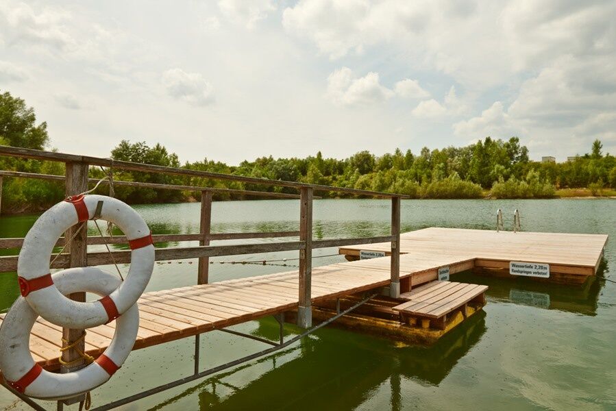
Ybbs-Persenbeug Visitor Power Plant, “Am Reitern” Peace Cross, swimming lake in Persebeug-Gottsdorf
Places to stop for refreshments along the route:
Sarmingstein, Hofamt Priel, and Persenbeug
Other attractions in the Nibelungengau region:
Erlauf Peace Museum, Oskar Kokoschka Center in Pöchlarn, Leiben European Castle, Artstetten Castle, Maria Taferl Basilica
Events in the Nibelungengau region and surrounding areas can be viewed here.
You can find all available promotional materials for the Nibelungengauhere, or browse the Nibelungengau travel guide online right now.
Enjoy the magnificent views of the Danube valley in Nöchling and at the Peace Cross “Am Reitern”. The Danube bank in Persenbeug is worth a visit, and the bathing lake in Persenbeug-Gottsdorf offers a refreshing cool-down on hot summer days.
The Nibelungengau long-distance hiking trail is signposted and walkable in both directions.
Event highlight in Nibelungengau:
Combine your hiking holiday with the Solstice celebration "Fire Magic in Nibelungengau" in June. Celebrate on the banks of the Danube in one of the Nibelungengau communities or on board a ship.
Pridobite vpogled
Vedno v živo na mestu z več kot 9.500 spletnimi kamerami. bergfex Kot uporabnik Pro si lahko zdaj ogledate ustrezne spletne kamere za številne izlete v aplikaciji izleti iz. Tako si lahko neposredno ogledate trenutne razmere.
Priljubljeni izleti v okolici
-
4.6
Waldhausen: Outlook circuit
srednjaPohodništvo 14.0 km -
4.9
Stillensteinklamm Rundweg über Struden
svetlobaPohodništvo 12.6 km -
4.7
Stillensteinklamm, Grein
svetlobaPohodništvo 10.4 km -
4.6
Ausgedehnte Peilsteinrunde
srednjaPohodništvo 13.7 km -
4.5
Durch die Steinwandklamm von Maria Taferl aus
svetlobaPohodništvo 8.26 km -
4.5
Purgstall Route 3 entlang der Erlauf und Umgebung
svetlobaPohodništvo 11.6 km -
4.6
Brandstetterkogel über Matras Steig
svetlobaPohodništvo 6.28 km -
4.4
Gobelwarte - Grein, Oberösterreich
srednjaPohodništvo 5.41 km -
4.4
Gobelwarte-Runde, Grein
srednjaPohodništvo 8 km -
4.8
Herzsteinweg Ysper und Burgsteinmauer
srednjaPohodništvo 14.7 km
Pohodništvo in sledenje


Ne zamudite ponudb in navdiha za naslednje počitnice
Vaš e-poštni naslov je bil dodan na poštni seznam.





