






Reitererberg S5

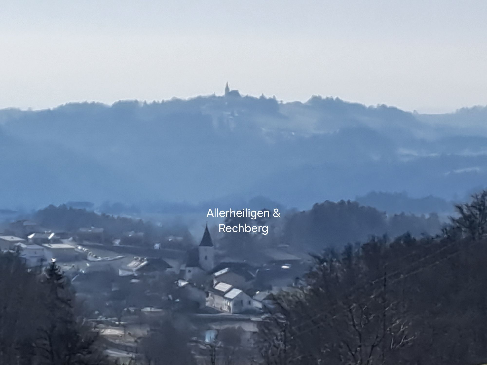
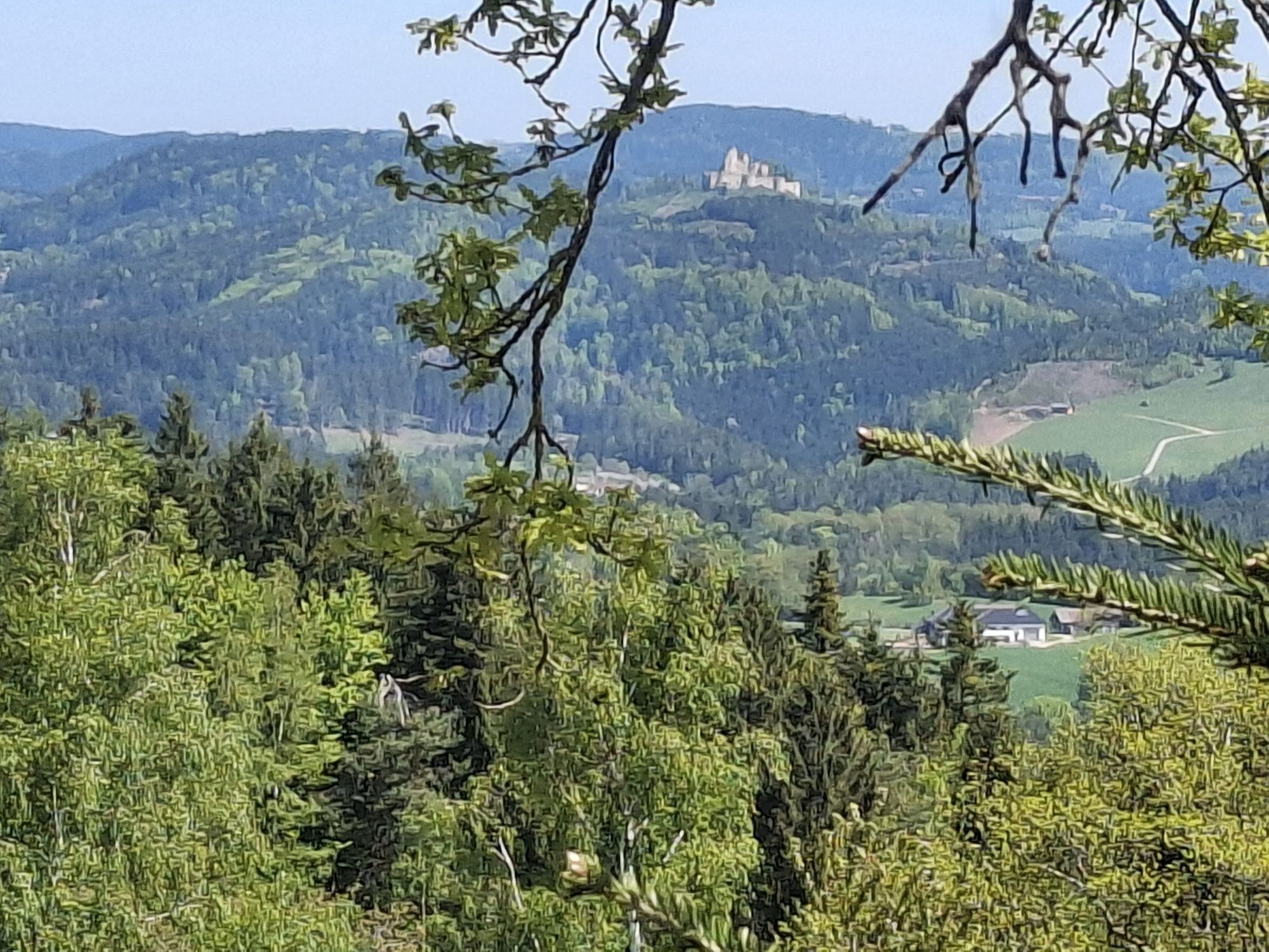
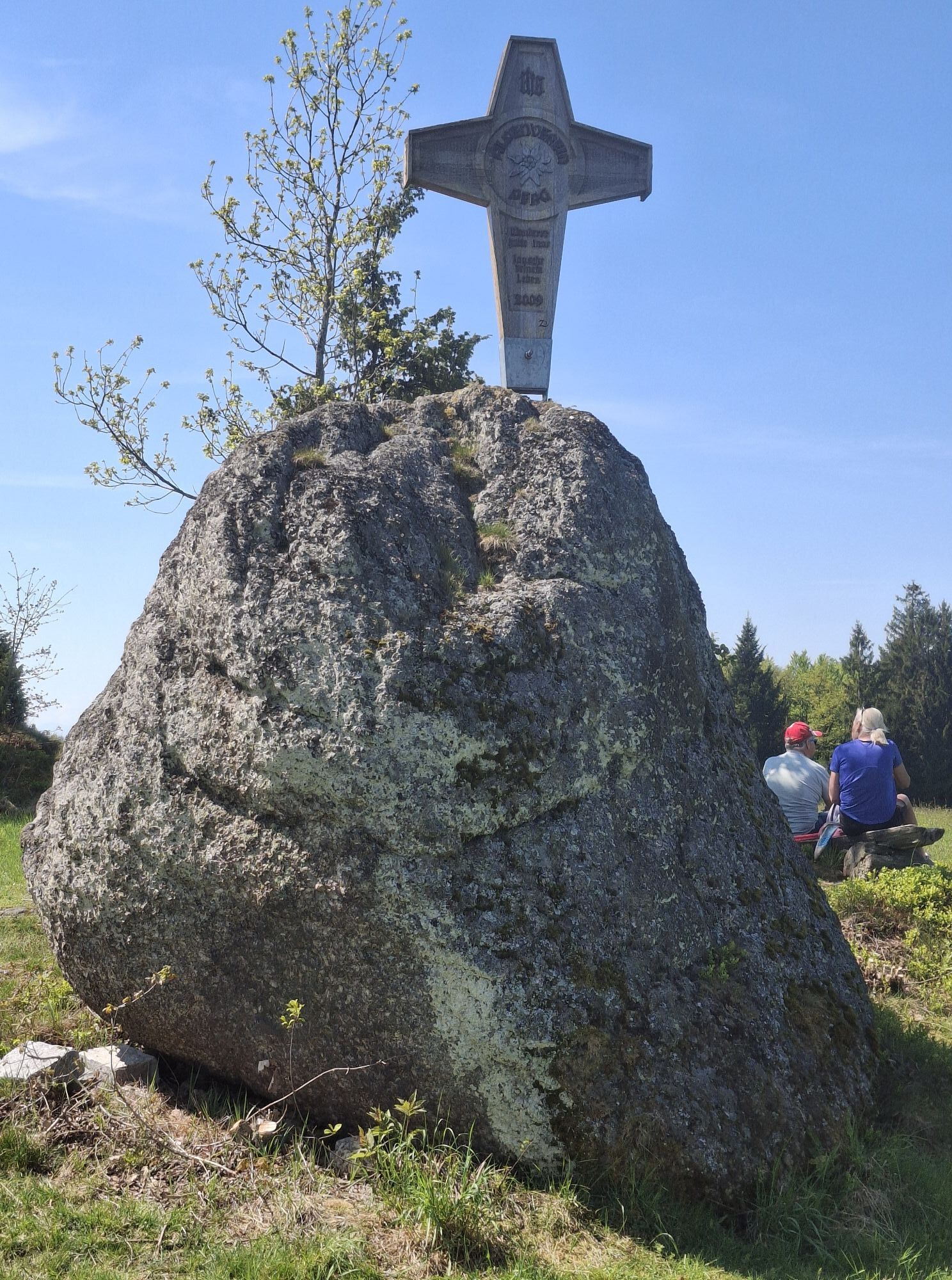
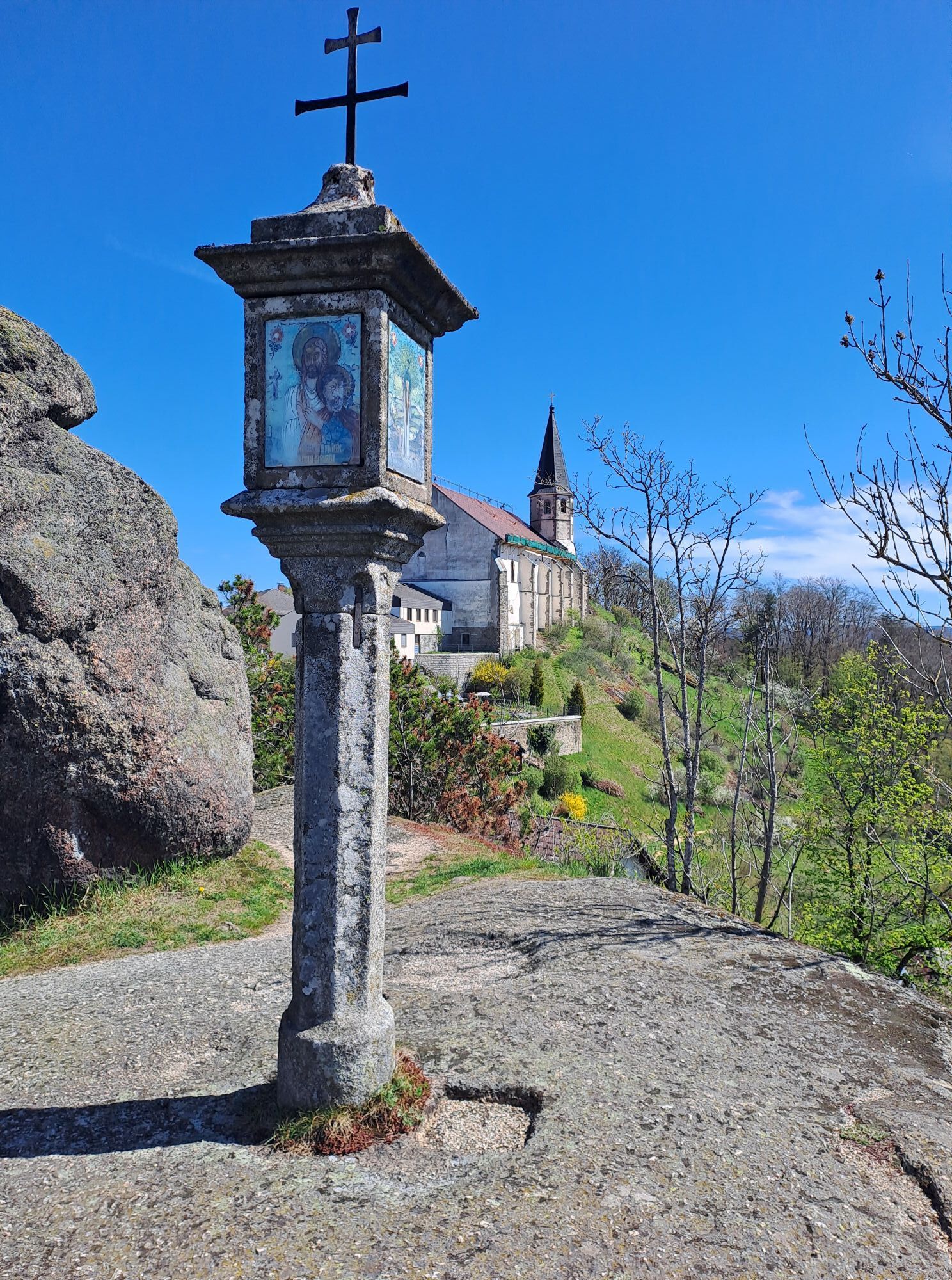
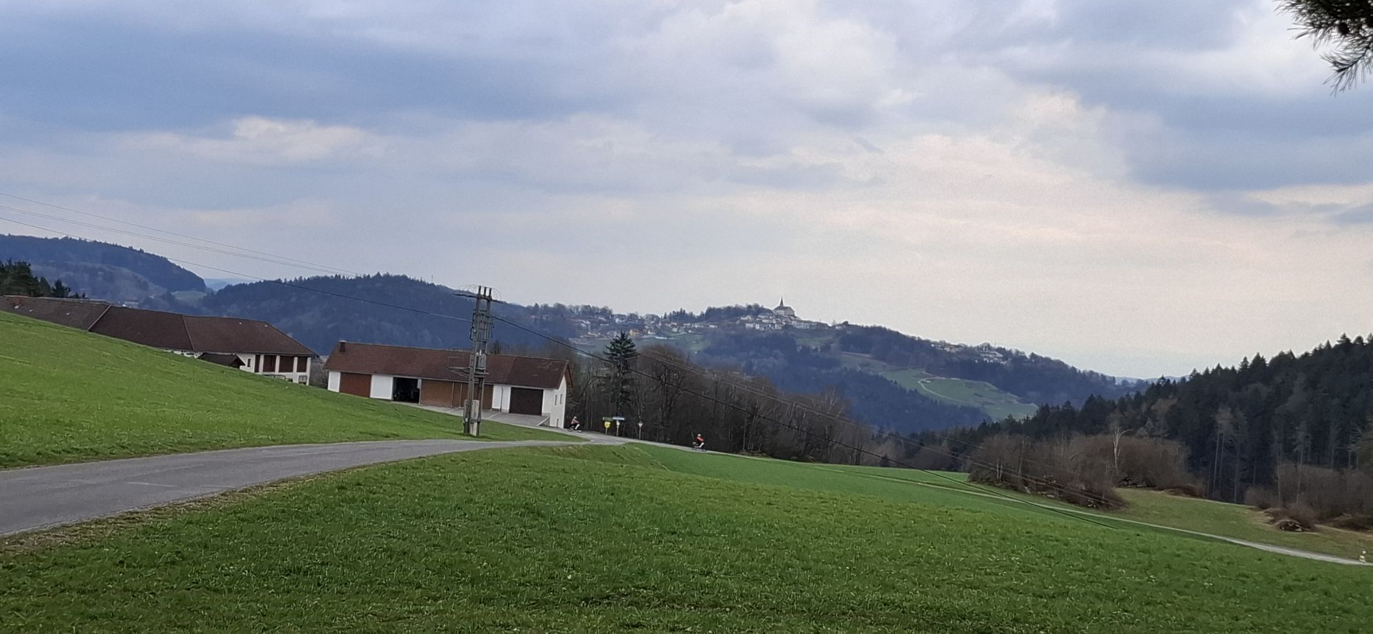
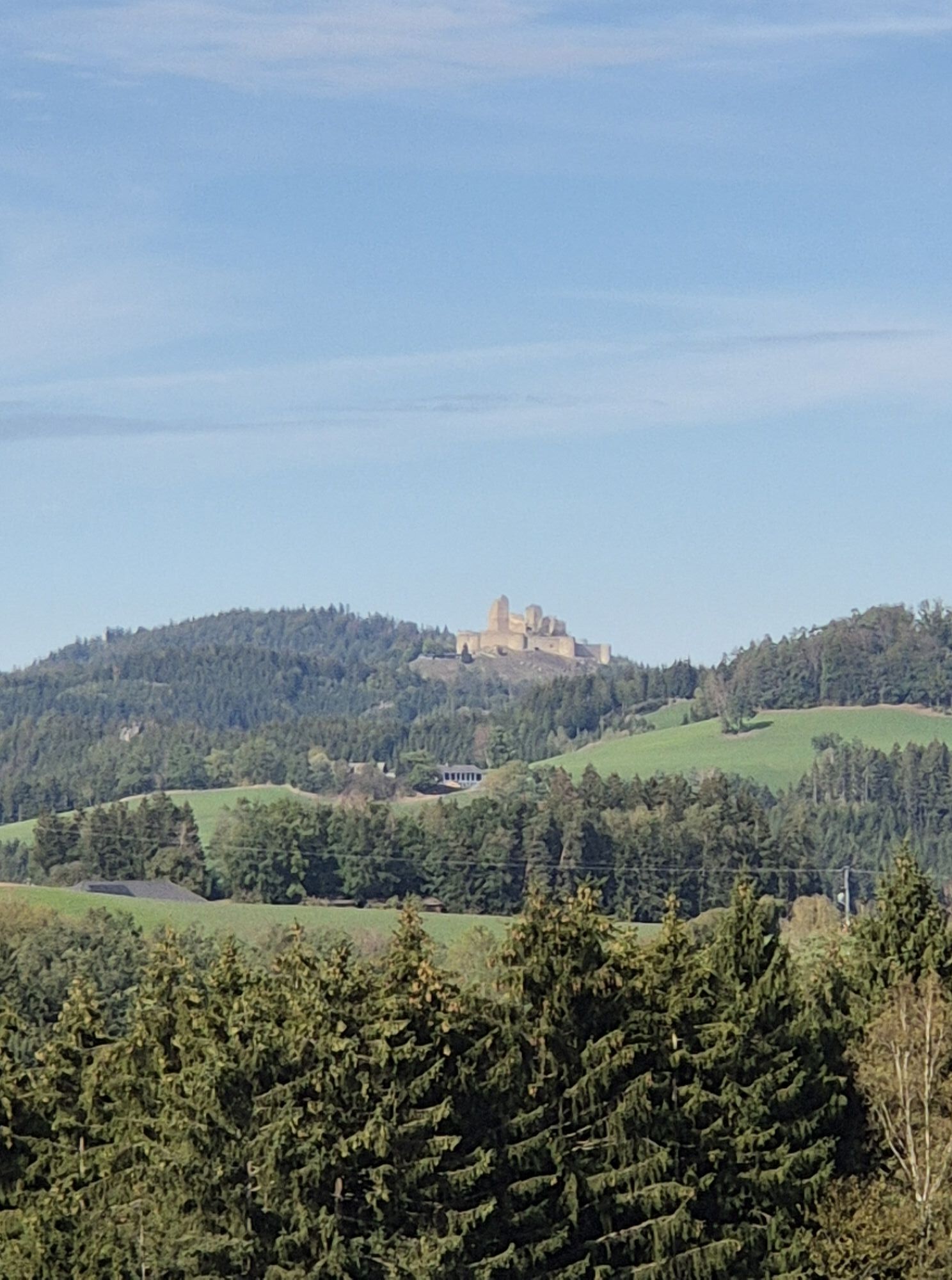
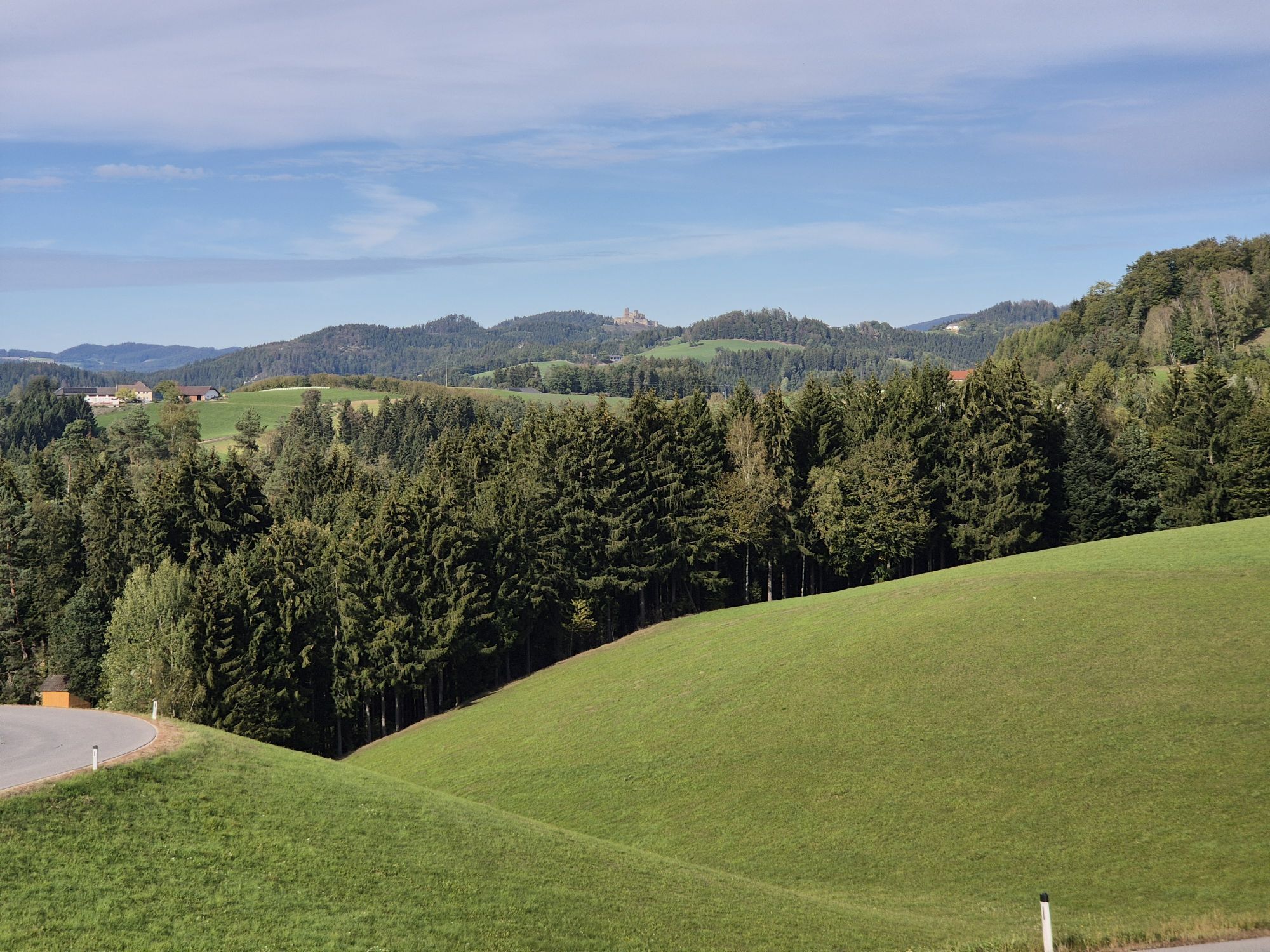
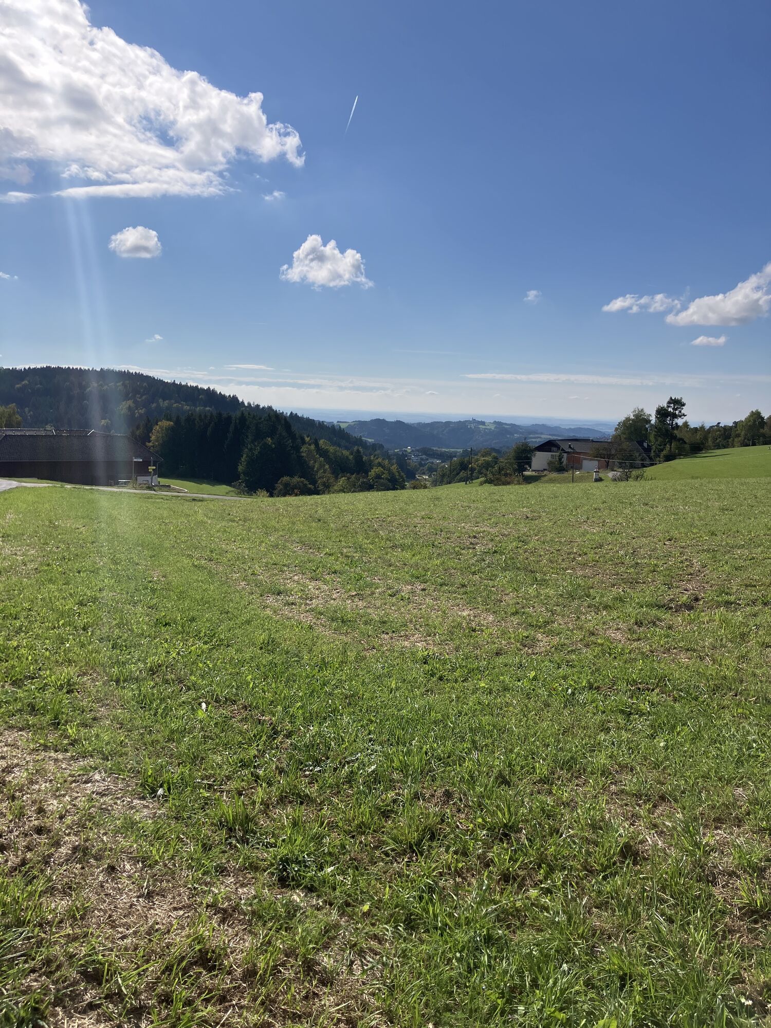
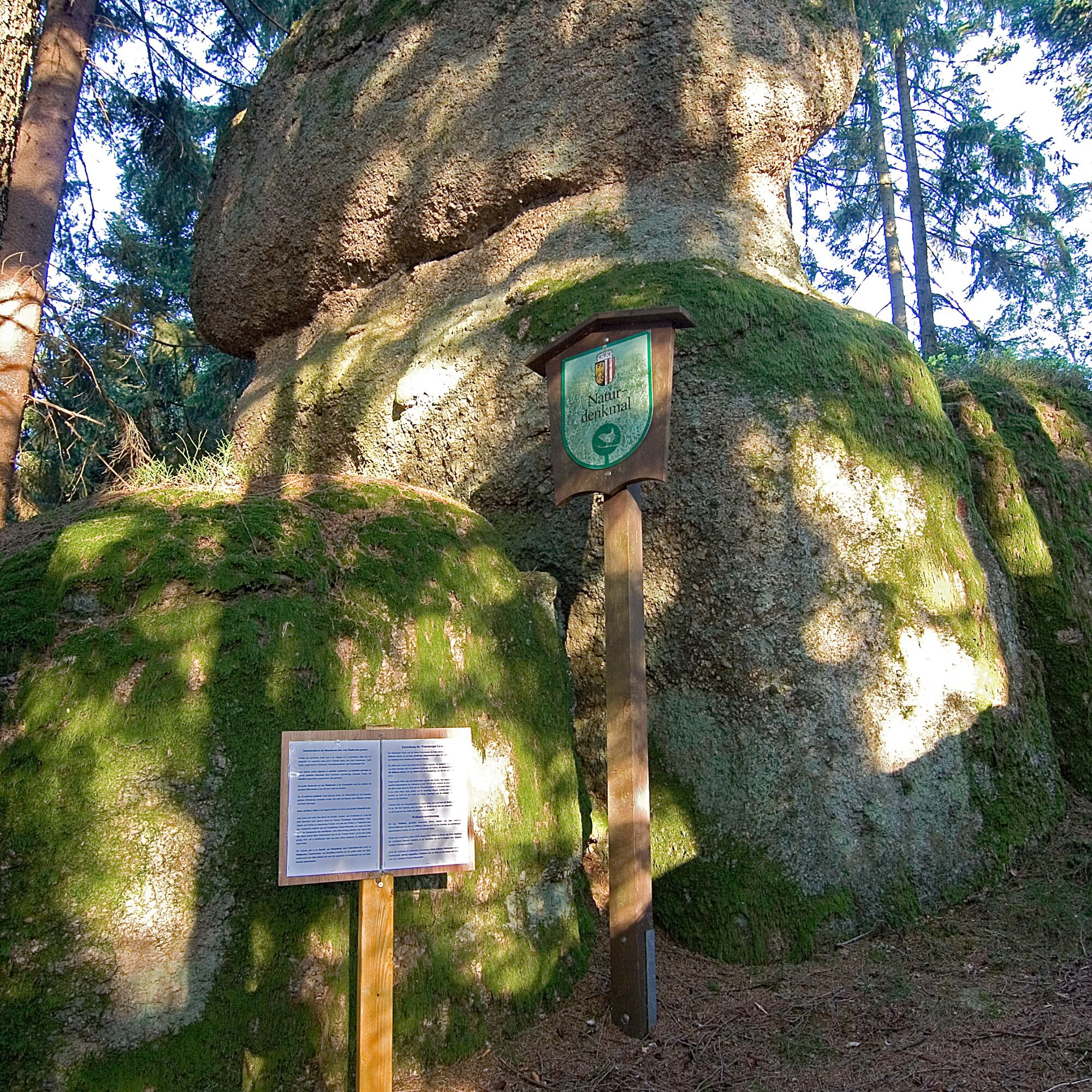
Through the village centre towards the entrance to the village. Before the house at Markt 26, the Wackelstein can be visited on the right (50m beside the path). At the entrance to the village, turn left...
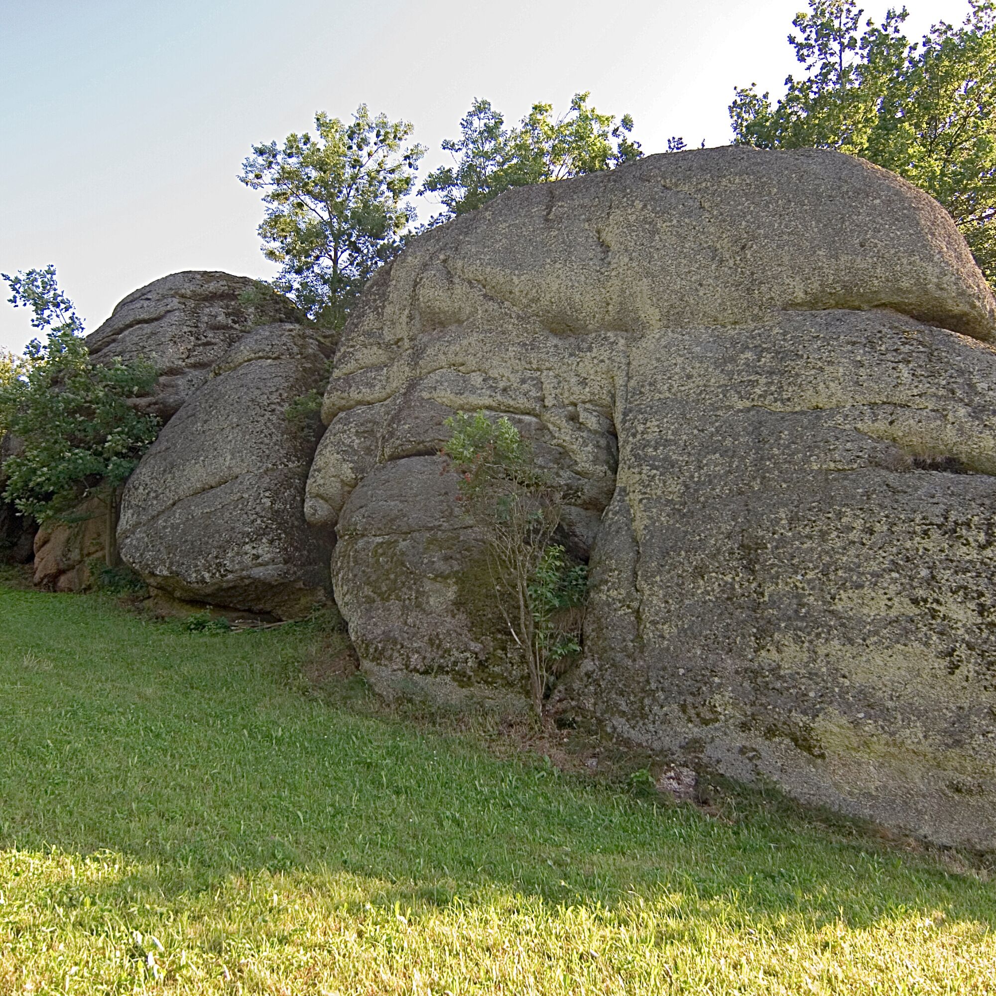
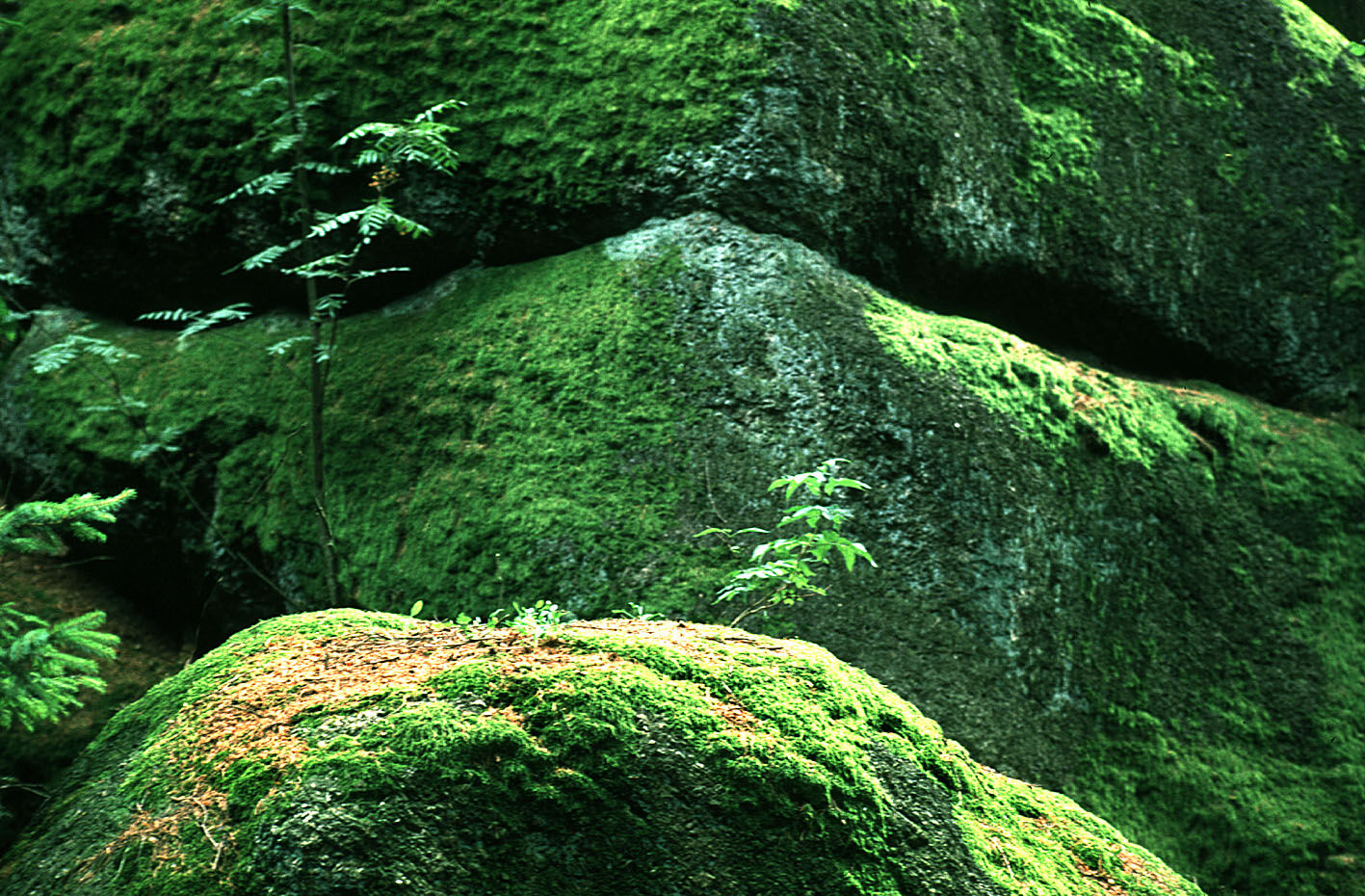
Through the village centre towards the entrance to the village. Before the house at Markt 26, the Wackelstein can be visited on the right (50m beside the path). At the entrance to the village, turn left along the district road towards Pierbach. After the warehouse, the Phallus stone can be visited off the path on the left. Turn left through the forest to the tennis centre. After a steep climb you come to the farmhouse Ober St. Thomas 31 vulgo "Hinterholzer". Turn left before the house, then right again through the forest to the farmhouse vulgo "Kaufrechter". Continue along the road for a short distance and then turn left onto the Reiterer farm track. Continue along the farm track to the top of the Reitererberg, past two farmhouses. You are now in the municipality of Rechberg. After a descent and ascent, turn right into the forest. Past idyllic houses, the Pammerhöhe, along the goods road and then left into the forest. After a descent, again idyllically situated houses and along the Haider estate road almost to the crossroads. Turn right towards Käfermühlbachtal. On the S4 again as an ascent back to the village. Past beautiful rock formations, hedges and meadows.



Priljubljeni izleti v okolici
- 4.4
Der Naturparkweg in Rechberg
srednjaPohodništvo 7.54 km - 4.6
Schwertberg: Weltstoarunde
svetlobaPohodništvo 11.4 km - 4.8
Tragwein - Lebensquell-Runde
svetlobaPohodništvo 12.8 km - 4.8
Ruine Prandegg
srednjaPohodništvo 15.6 km - 4.2
Wolfsschlucht - auf den Spuren adeliger Kurgäste
Pohodništvo 2.29 km - 4.8
Clamrunde durch die Schlucht
svetlobaPohodništvo 5 km - 4.4
Wartberg Ob der Aist, Natura Aist Trail Rundwanderung
svetlobaPohodništvo 8.37 km - 4.6
Die Blasenstein-Runde, Oberösterreich
srednjaPohodništvo 11.8 km - 4.3
R1.14 Moonstone Circuit
srednjaKolesarjenje 27.0 km - 4.8
R1.13 Alpenblick loop
srednjaKolesarjenje 52.2 km
Pohodništvo in sledenje


Ne zamudite ponudb in navdiha za naslednje počitnice
Vaš e-poštni naslov je bil dodan na poštni seznam.





