
Sonniger Steig
svetloba
Pridobite to turo v svoj mobilni telefon
Sonniger Steig
svetloba
Pohodništvo
4.50
km
Skenirajte kodo QR in začnite navigacijo v aplikaciji bergfex.


Pohodništvo in sledenje




Sonniger Steig
svetloba
Razdalja
4.50
km
Trajanje
01:15
h
Ascent
91
hm
Morska gladina
567 -
636
m

V aplikaciji si oglej pot
Brezplačno namestite aplikacijo in spremljajte pot z GPS-navigacijo in sledenjem.
bergfex zdaj uporabljaj v aplikaciji
S kamero poskeniraj QR-kodo
Ko je aplikacija nameščena, se vsebina odpre takoj. Če aplikacije še nimaš, te bo preusmerila na stran za brezplačen prenos.
Prenos skladbe
Sonniger Steig
svetloba
Pohodništvo
4.50
km
Not marked
0 km The hike starts at the Ulrichsberg sports ground (car park). Turn left and walk up to the village of Stangl, not far from Ulrichsberg. (The village of Stangl was founded in 1459. In 1526...
Opis
Not marked
0 km The hike starts at the Ulrichsberg sports ground (car park). Turn left and walk up to the village of Stangl, not far from Ulrichsberg. (The village of Stangl was founded in 1459. In 1526 there were 6 farms here). At the first farm (on the left-hand side of the road), turn left onto Güterweg Stangl. After 30 metres you come to the Böhmerwaldblickweg and the Große Mühl hiking trail and follow this. The path now leads in an easterly direction away from the village. After a short hollow path, you reach a ...
530 m fork in the path with several hiking trail signs and the Nordic Fitness board. Keep to the right and follow the Ödenkirchenerweg, which immediately branches off to the left uphill into a field path. After a short ascent, the route continues along a beautiful meadow path until you reach the idyllic village of ...
1.5 km Kandlschlag. (The village was founded in 1459. In 1471 there were 10 farms here. The village has remained almost a rural settlement to this day.) At the end of the village, at the last house, leave the road and the Ödenkirchenerweg and turn left onto the field path (unmarked from here on!). Pay attention to the strip fields again. Along the pastureland and a hedgerow, you will reach a beautiful ...
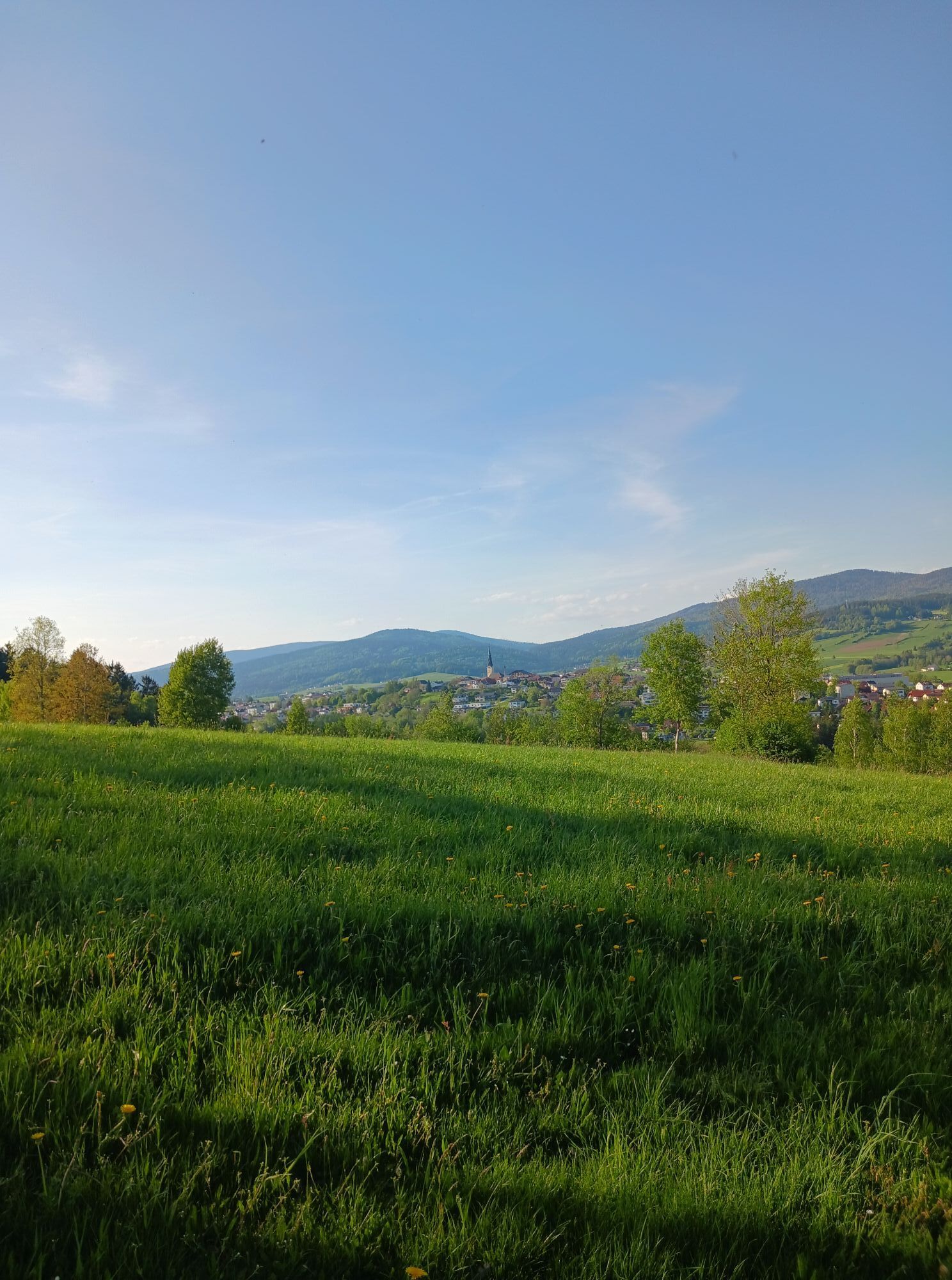
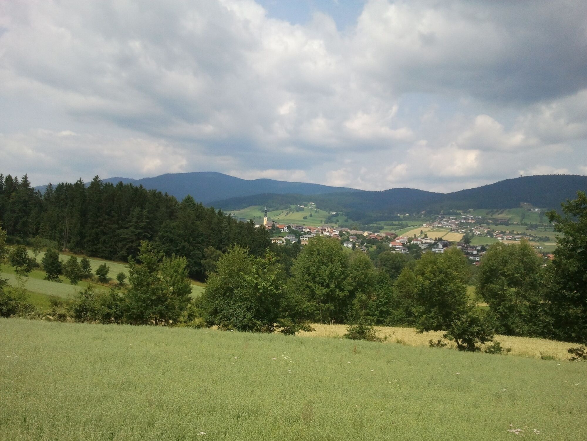
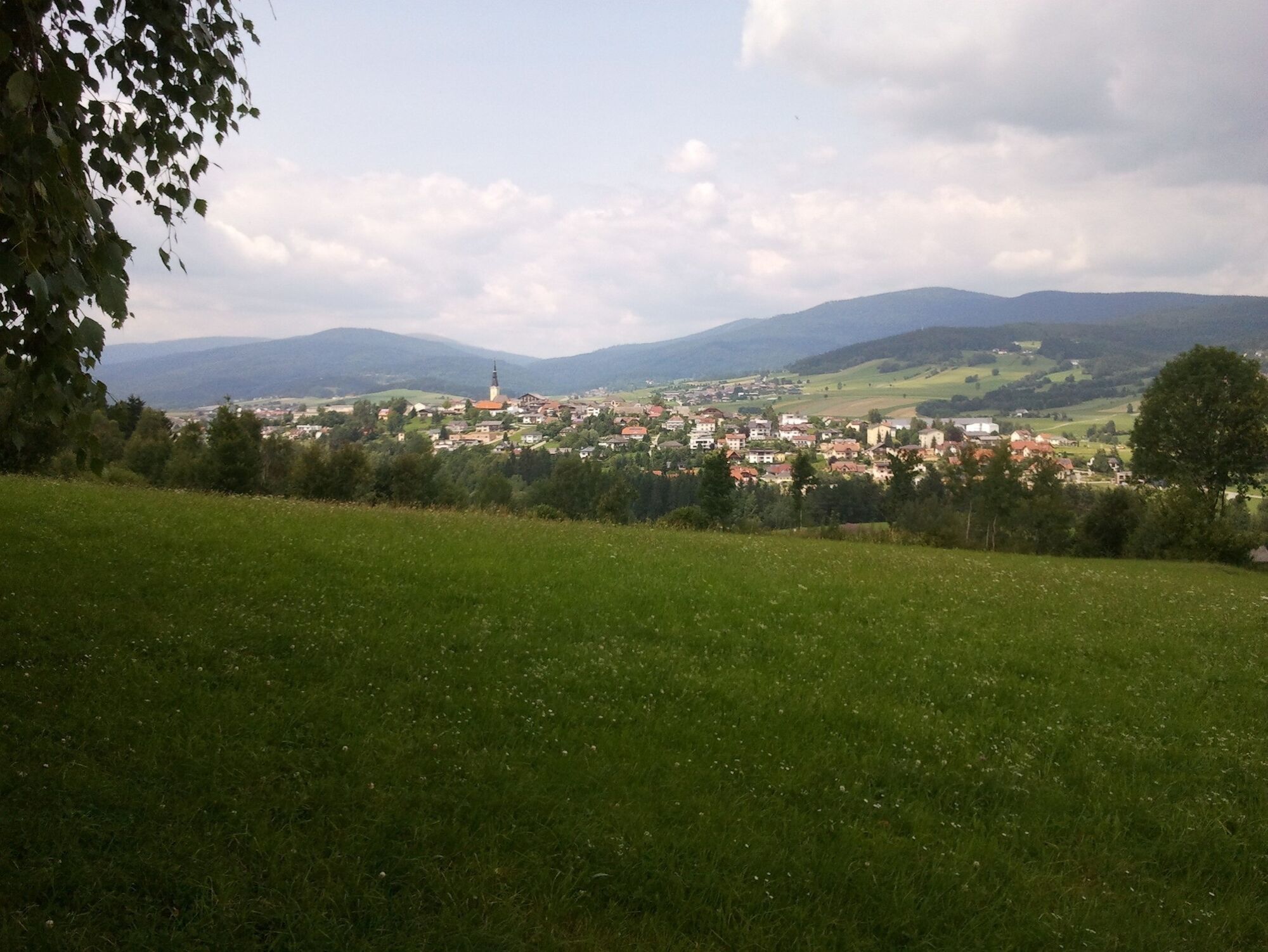
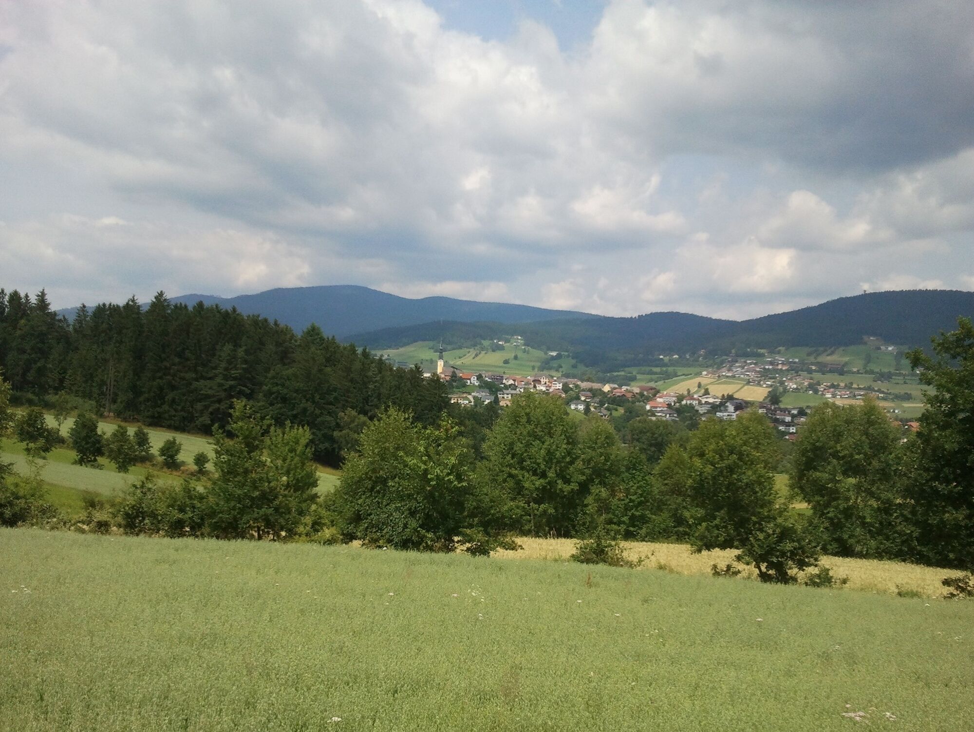
2.0 km rest area. The view of the Große Mühl Valley and the Bohemian Forest as far as the Steinernes Meer (recognisable by the light spots in the forest) is magnificent. Ulrichsberg lies ahead of you to the left and to the right in an easterly direction, the view extends beyond Aigen-Schlägl. After a 5-minute walk downhill you reach the village ...
2.3 km Dietrichschlag. It was founded in 1526 with 6 farms. You cross the tarmac road and walk through the village. The village road turns into a dirt track, which takes you on a level path through beautiful meadow fields back to the ...
4 km starting point.
Request our hiking map for EUR 3.00!
With the free outdooractive app, you can hike the trail using navigation.
0 km The hike starts at the Ulrichsberg sports ground (car park). Turn left and walk up to the village of Stangl, not far from Ulrichsberg. (The village of Stangl was founded in 1459. In 1526 there were 6 farms here). At the first farm (on the left-hand side of the road), turn left onto Güterweg Stangl. After 30 metres you come to the Böhmerwaldblickweg and the Große Mühl hiking trail and follow this. The path now leads in an easterly direction away from the village. After a short hollow path, you reach a ...
530 m fork in the path with several hiking trail signs and the Nordic Fitness board. Keep to the right and follow the Ödenkirchenerweg, which immediately branches off to the left uphill into a field path. After a short ascent, the route continues along a beautiful meadow path until you reach the idyllic village of ...
1.5 km Kandlschlag. (The village was founded in 1459. In 1471 there were 10 farms here. The village has remained almost a rural settlement to this day.) At the end of the village, at the last house, leave the road and the Ödenkirchenerweg and turn left onto the field path (unmarked from here on!). Pay attention to the strip fields again. Along the pastureland and a hedgerow, you will reach a beautiful ...
2.0 km rest area. The view of the Große Mühl Valley and the Bohemian Forest as far as the Steinernes Meer (recognisable by the light spots in the forest) is magnificent. Ulrichsberg lies ahead of you to the left and to the right in an easterly direction, the view extends beyond Aigen-Schlägl. After a 5-minute walk downhill you reach the village ...
2.3 km Dietrichschlag. It was founded in 1526 with 6 farms. You cross the tarmac road and walk through the village. The village road turns into a dirt track, which takes you on a level path through beautiful meadow fields back to the ...
4 km starting point.
Request our hiking map for EUR 3.00!
With the free outdooractive app, you can hike the trail using navigation.


Še ni pregledov

Vse spletne kamere na zemljevidu
Brezplačno namesti aplikacijo in primerjaj slike v živo z več lokacij, preden se odpraviš na pot.
bergfex zdaj uporabljaj v aplikaciji
S kamero poskeniraj QR-kodo
Ko je aplikacija nameščena, se vsebina odpre takoj. Če aplikacije še nimaš, te bo preusmerila na stran za brezplačen prenos.
Priljubljeni izleti v okolici
-
3.9
Wanderung Dreisessel - Steinernes Meer - Dreiländereck Bayerischer Wald
Pohodništvo 7.17 km -
4.8
Bärenstein Wilson Holz Rundtour
svetlobaPohodništvo 12.9 km -
4.8
Plöckenstein-Runde mit Dreisessel
srednjaGorski pohodništvo 14.5 km -
4.5
Bärensteinrunde
srednjaPohodništvo 11.9 km -
4.3
Plöckenstein Runde
srednjaPohodništvo 11.2 km -
3.9
Moldaublick und Alpenblick im Böhmerwald
svetlobaPohodništvo 6.47 km -
4.4
Böhmischer Traum mit Schwemmkanalrunde
srednjaE-MTB 67.7 km -
4.0
Bärensteinrunde
svetlobaGorski pohodništvo 3.20 km -
4.5
Moldaustausee Radroute Nr.800
srednjaKolesarjenje 41.6 km -
4.8
Wilson Holz—Schwemmkanalrunde Steilstufe St. Oswald
svetlobaPohodništvo 16.0 km
Pohodništvo in sledenje

Zaradi več kot 550.000 predlogov izletov, podrobnih zemljevidov in intuitivnega načrtovanja poti je aplikacija obvezna oprema za vse ljubitelje narave.

Ne zamudite ponudb in navdiha za naslednje počitnice
Naročite se na novice
Napaka
Zgodila se je napaka. Prosimo, poskusite znova.
Zahvaljujemo se vam za prijavo
Vaš e-poštni naslov je bil dodan na poštni seznam.
Izleti po vsej Evropi
Avstrija
Švica
Nemčija
Italija
Slovenija
Francija
Nizozemska
Belgija
Poljska
Lihtenštajn
Češka
Slovaška
Španija
Chorvátsko
Bosna in Hercegovina
Luksemburg
Andora
පෘතුගාලය
අයිස්ලන්තය
එක්සත් රාජධානිය
අයර්ලන්තය
ග්රීසිය
ඇල්බේනියාව
North Macedonia
Malta
Norway
Montenegro
Moldova
කොසෝවො
හන්ගේරියානු සමුහාණ්ඩුව
San Marino
රුමේනියාව
එස්ටෝනියා
ලැට්වියාව
බෙලාරස්
සයිප්රස්
Lithuania
Serbia
බල්ගේරියාව
Monaco
ඩෙන්මාර්කය
Sweden
ෆින්ලන්තය





