


BergeSeen Trail A4: Steinbach - Weyregg
Fotografije naših uporabnikov
 © HaeuDUstvarjeno na 18.08.2025
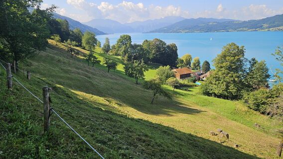 © HaeuDUstvarjeno na 18.08.2025
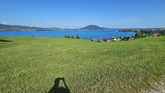 © HaeuDUstvarjeno na 18.08.2025
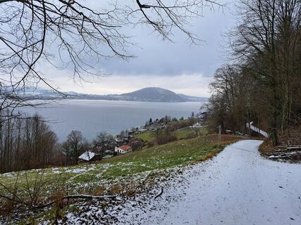
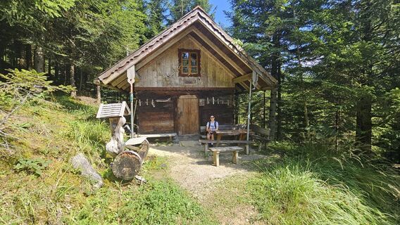
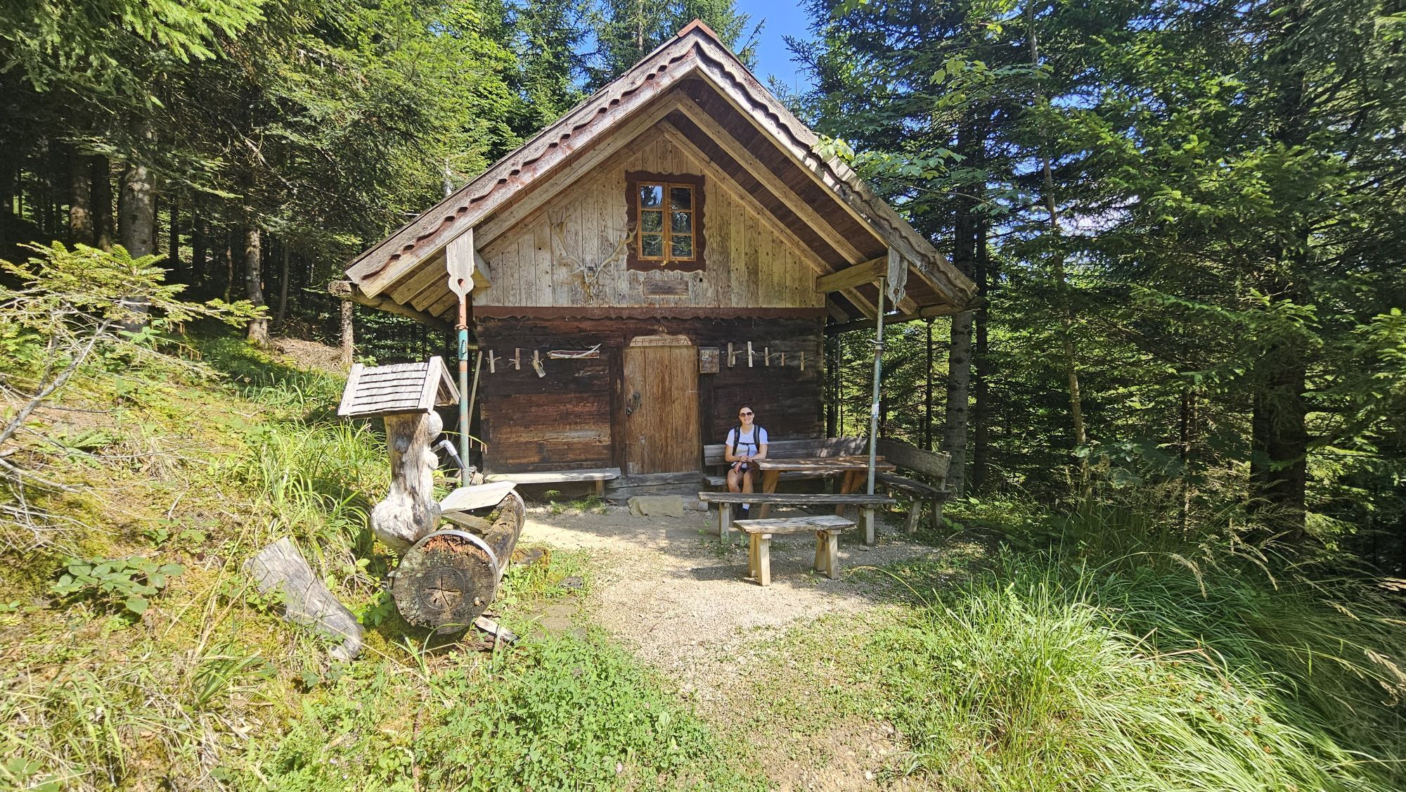
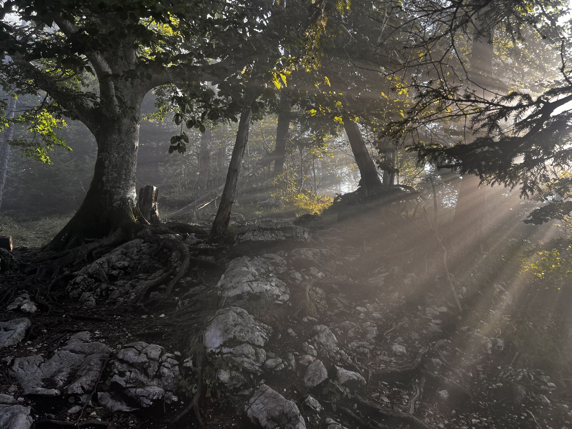
 © RudiUstvarjeno na 15.01.2025
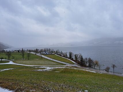 © RudiUstvarjeno na 15.01.2025
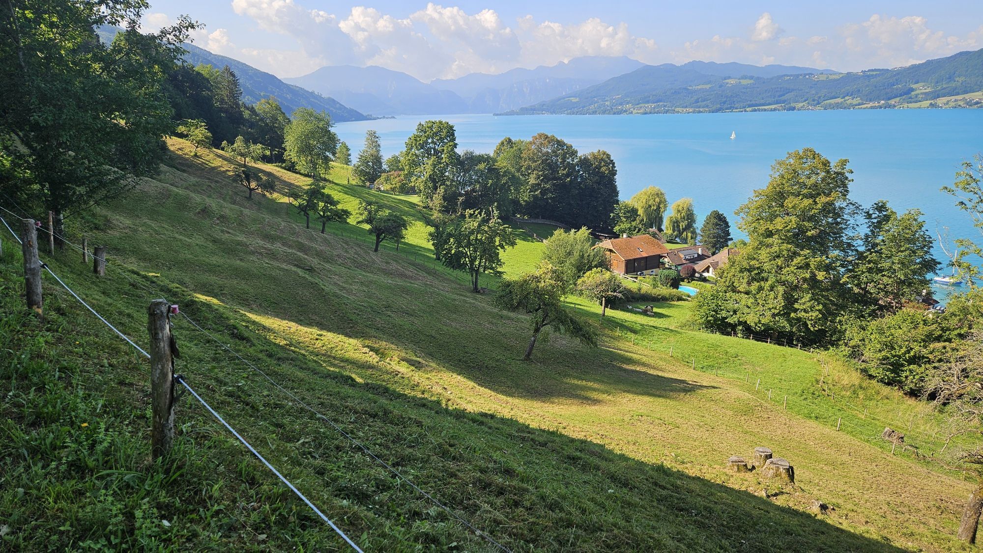
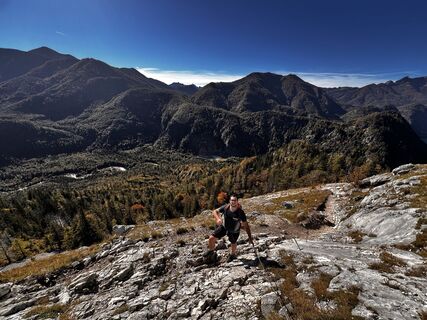 © Daniel S 6Ustvarjeno na 09.10.2024
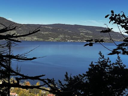 © Daniel S 6Ustvarjeno na 09.10.2024
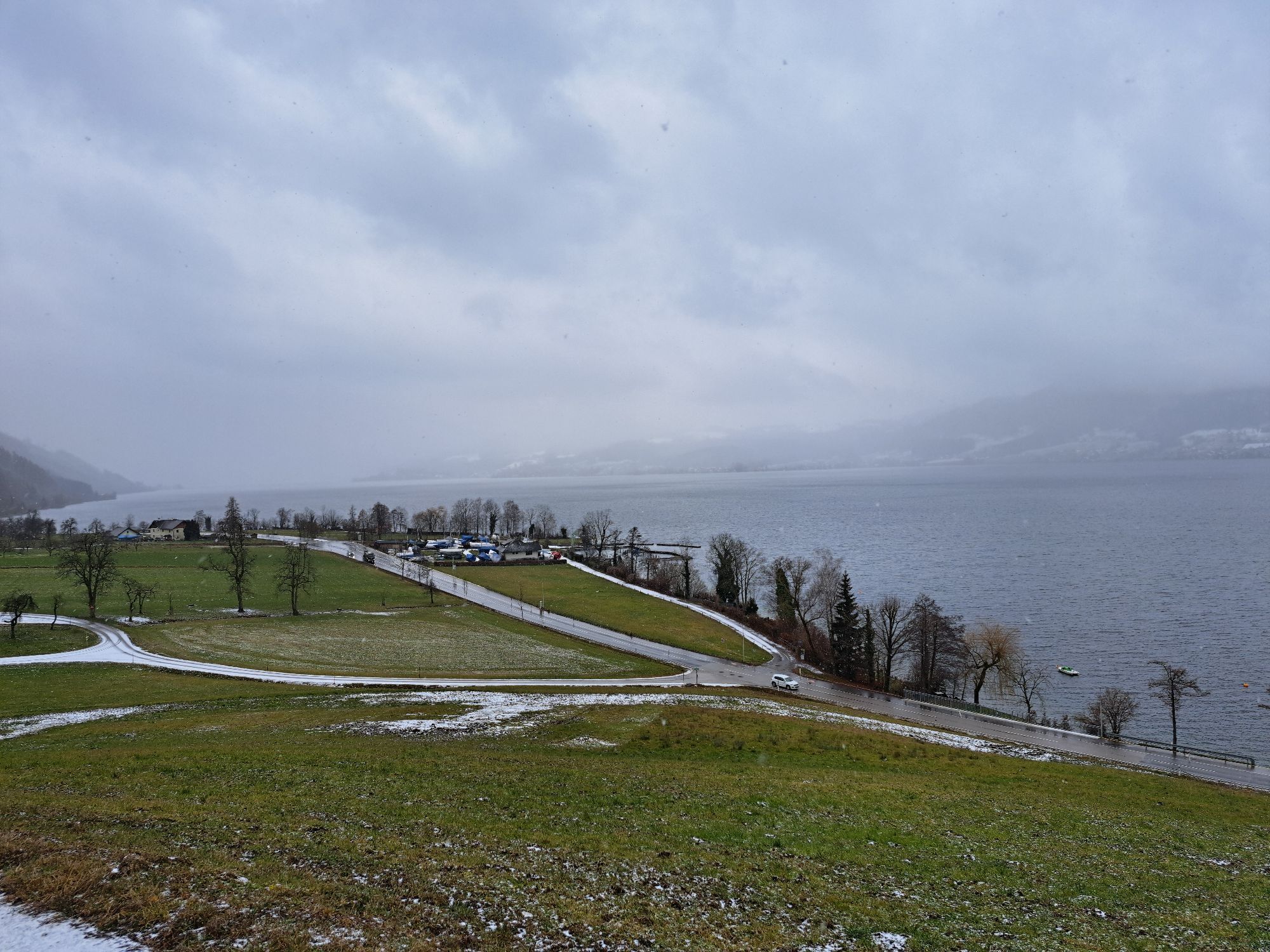
 © Daniel S 6Ustvarjeno na 19.09.2024
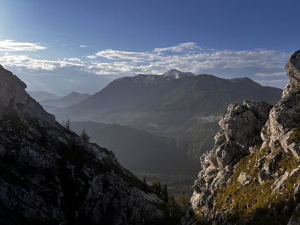 © Daniel S 6Ustvarjeno na 19.09.2024
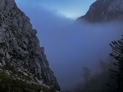 © Daniel S 6Ustvarjeno na 19.09.2024
 © Daniel S 6Ustvarjeno na 19.09.2024
 © Daniel S 6Ustvarjeno na 19.09.2024
 © Daniel S 6Ustvarjeno na 19.09.2024
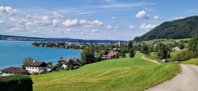
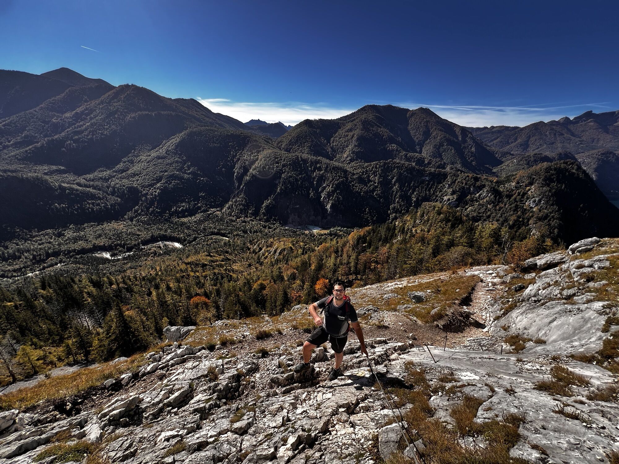
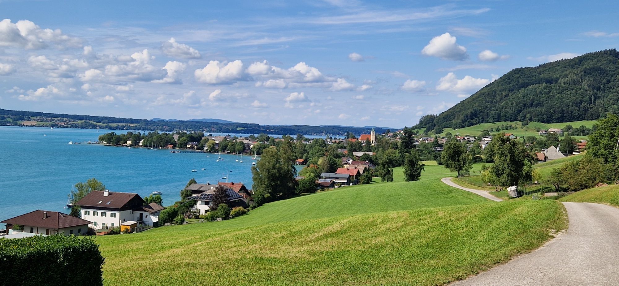
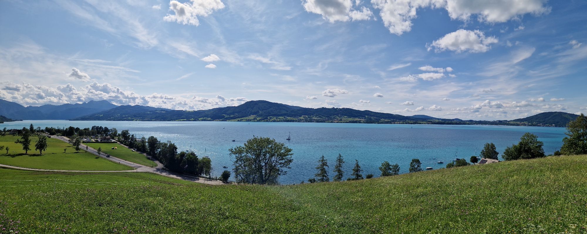
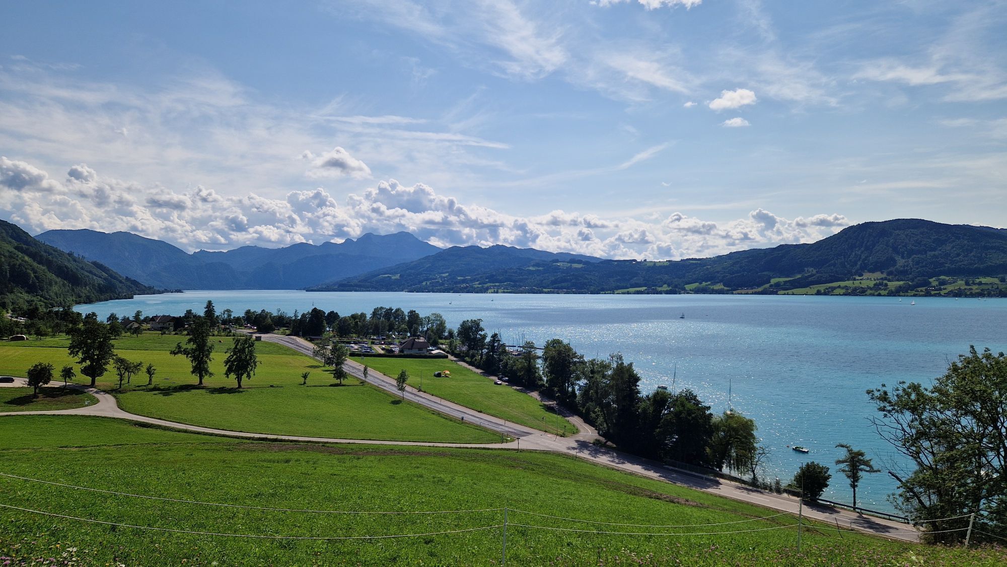
 © Claudia MaurerUstvarjeno na 03.08.2024
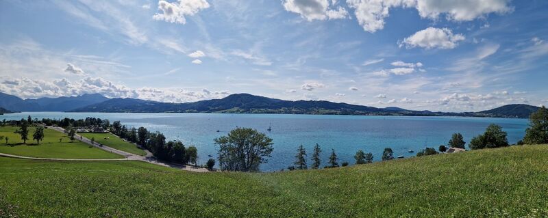 © Claudia MaurerUstvarjeno na 03.08.2024
 © Claudia MaurerUstvarjeno na 03.08.2024
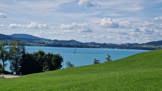 © Claudia MaurerUstvarjeno na 03.08.2024


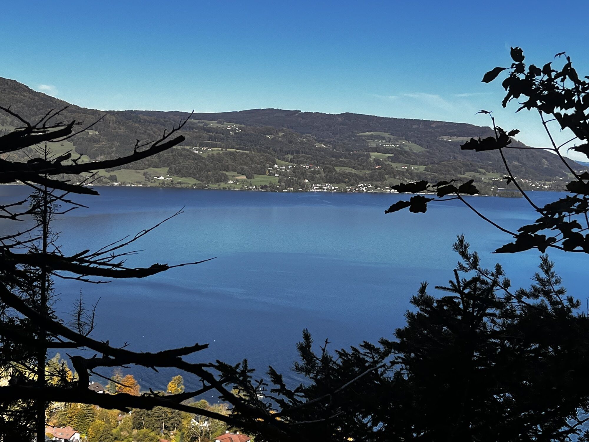


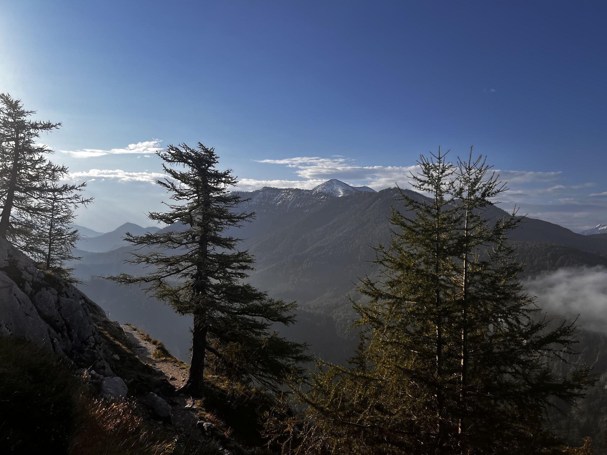
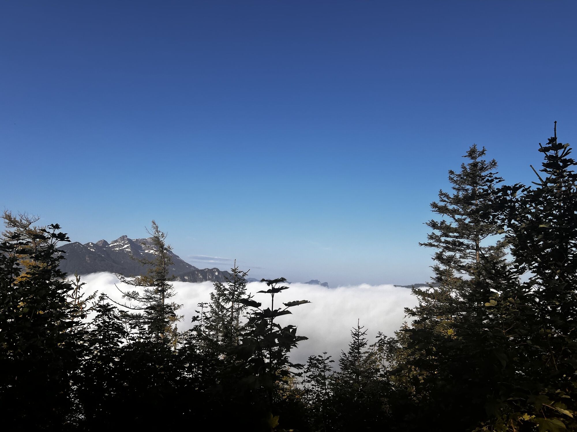

On the penultimate section of the regional trail around the Attersee, you will experience the full beauty of the region east of the large lake, which was rightly declared the Attersee-Traunsee Nature Park.

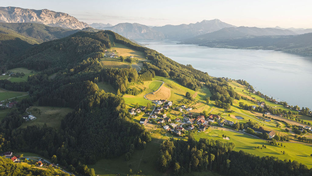
From the tourist office in Steinbach am Attersee, walk to the nearby parish church. From the parsonage behind it (No. 1), go right across the meadow and then immediately left. This will take you to the Steinbach district of Seefeld (472 m), where you turn right to the sports hall or the Bierschmiede at the Kienbach. From there, continue about 120 m downhill on the Großalm state road until you turn left onto the paved farm road to the village of Blümigen – thus following the Attersee East hiking trail uphill. From the upper meadows, hike on forest roads to the right on path No. 1 past the Kamp (877 m), then over the forest ridge to a fork in the trail. To the right is a short detour to a wooden sign that indicates the summit named Bramhosen (960 m) in the middle of the fir forest (on some maps, the mountain is called "Bramosen"). The left path leads northwest down into the forest hollow with the Seeleitenstüberl. From there, take the path that shortcuts a forest road further down into Alexenau (472 m). To the left of the small settlement runs the federal road, where there is a bus stop; the scheduled ship also docks at the nearby lakeshore. 3:00 h A flat section follows along the roughly 3 km long Dr. Gleißner path turning right and heading north. First on gravel, then on asphalt, going above the federal road through meadows and wooded slopes below the Wachtberg (823 m); along the way you will repeatedly enjoy wonderful views of the Attersee and across the rolling hills to the Höllengebirge. In Weyregg (482 m), you have the opportunity to refresh yourself year-round at the Kaisergasthof and the "Sonne" as well as during the summer months at the "Katamaran," the "Seebuffet," or the "Badehaus." 1:00 h
For all stages, you will need hiking or mountain boots with treaded rubber soles as well as wind- and rainproof clothing. A change of clothes and a small first-aid kit should also be included in your backpack. The amount of provisions you should pack depends on the number of available rest stops. In any case, you should always take along plenty to drink. Telescopic poles are helpful, especially when walking downhill.
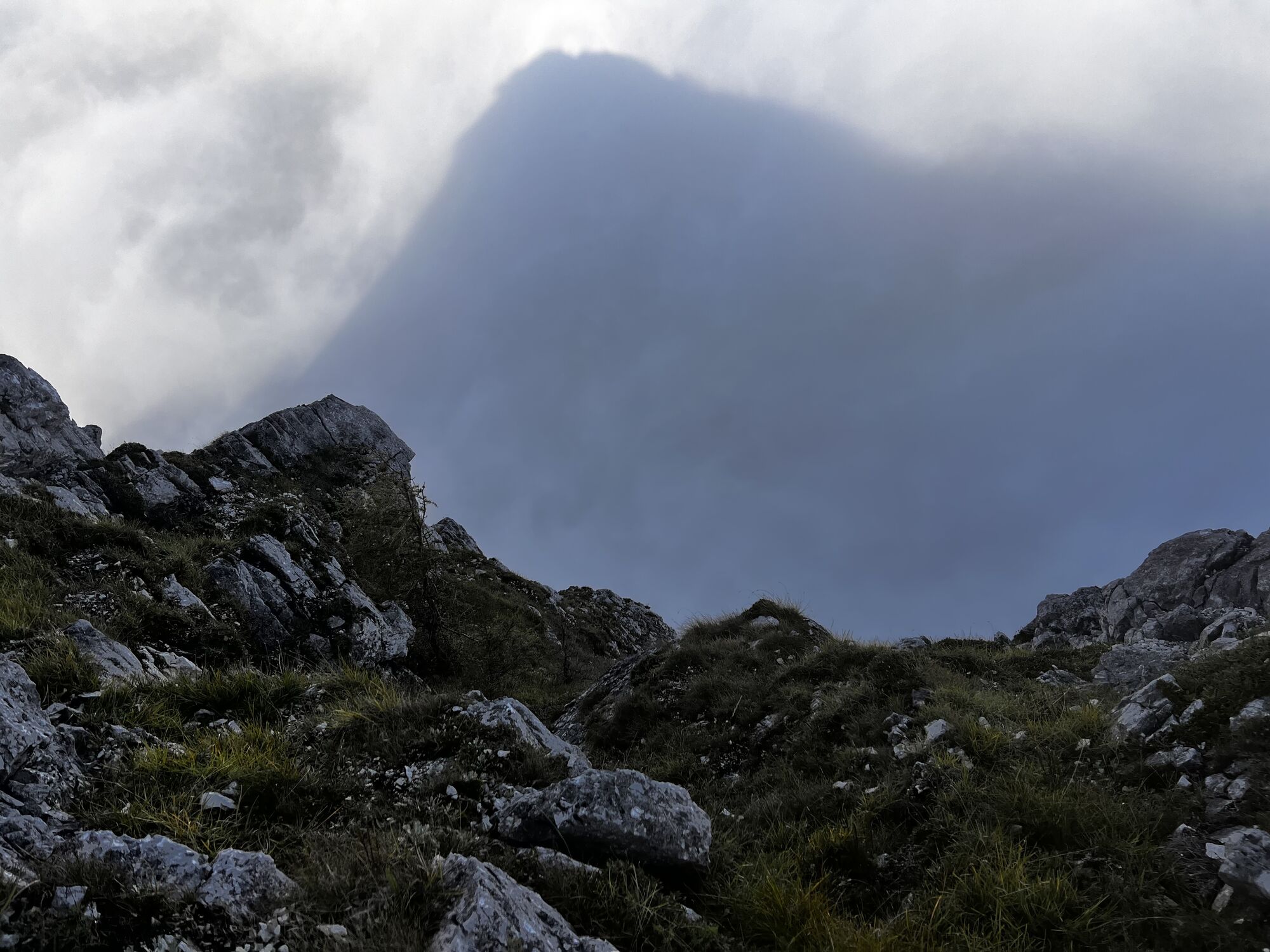
In alpine terrain, be aware of the danger of falling rocks.
Through early summer, you may encounter steep snowfields or firn gullies – especially during icy conditions, there is an acute risk of falling and thus fatal injury!
Due to storm damage, forestry work or construction work, individual trail sections may be difficult or impassable at times.
Cows in the alpine meadows are often curious. Because they are nursing mothers, they develop a strong tendency to protect their calves. Therefore, move through cow pastures quietly, keep at least 20 metres of distance to the animals and never pet calves! In the case of threatening behaviour (pawing, stamping) slowly back away (do not turn your back). Keep dogs on a leash. They must not bark at or chase cows. In the case of an attack, the dog must be released from the leash.
With the kind provision of the text by the KOMPASS publishing house and Wolfgang Heitzmann.
More info at trail.salzkammergut.at
Priljubljeni izleti v okolici
- 4,4
Weißenbach am Attersee - Schoberstein
srednjaPohodništvo 3,31 km - 4,3
Feuerkogel / Ebensee
srednjaPohodništvo 11,8 km - 4,5
Ebensee: Großer Höllkogel
srednjaPohodništvo 10,1 km - 3,6
Mondsee: Rund um den Mondsee
svetlobaKolesarjenje 26,3 km - 3,5
Unterach am Attersee: Hochplettspitz
Pohodništvo 4,25 km - 4,4
Rund um den Wachtberg
svetlobaPohodništvo 8,63 km - 4,4
Kienesberg - Födinger Alm
svetlobaPohodništvo 4,37 km - 4,9
Eisenaualm
srednjaMountainbike 37 km - 4,0
Hochsteinalm / Traunkirchen
svetlobaPohodništvo 4,10 km - 4,7
Helmeskogel / Alberfeldkogel
svetlobaPohodništvo 8,16 km

Pohodništvo in sledenje


Ne zamudite ponudb in navdiha za naslednje počitnice
Vaš e-poštni naslov je bil dodan na poštni seznam.