


Grande Granite Loop: Stage 3
Fotografije naših uporabnikov
-

 © ElkeAUstvarjeno na 20.04.2025
 -
 © ElkeAUstvarjeno na 13.04.2025
 -
 © Breitenberger EvaUstvarjeno na 01.10.2022
 -
 © Breitenberger EvaUstvarjeno na 01.10.2022
 -

 © Wilson HolzUstvarjeno na 19.12.2025
 -
 © Regina BauerUstvarjeno na 06.11.2025
 -
 © ReginaStUstvarjeno na 19.05.2024
 -
 © ReginaStUstvarjeno na 19.05.2024


Magnificent start: Wonderful ridge biking on the Bohemian Forest roof – with wide views & forest trails! In Guglwald, a pleasurable descent into the Stone Mill Valley delights. A mountainous trip into...
Magnificent start: Wonderful ridge biking on the Bohemian Forest roof – with wide views & forest trails! In Guglwald, a pleasurable descent into the Stone Mill Valley delights. A mountainous trip into the hinterland then lets you experience solitude. Back at the Stone Mill begins the dreamy climb on the Petersberg ridge with final panoramic ridge cruising! After flowing downhill fun, the tough summit assault on the cult lookout summit Hansberg (850 m) starts! Long enjoyable descent into the Small Rodltal and opposite, up to the summit castle village Waxenberg (748 m).
Highlights:
Bohemian Forest (Central Europe's largest forest area) Hansberg (cult lookout summit) Summit castle village Waxenberg (castle ruins, 360° panorama observation tower, castle) Overnight stay: In the summit castle village Waxenberg
Magnificent start: Wonderful ridge biking on the Bohemian Forest roof – with wide views & forest trails! In Guglwald, a pleasurable descent into the Stone Mill Valley delights. A mountainous trip into the hinterland then lets you experience solitude. Back at the Stone Mill begins the dreamy climb on the Petersberg ridge with final panoramic ridge cruising! After flowing downhill fun, the tough summit assault on the cult lookout summit Hansberg (850 m) starts! Long enjoyable descent into the Small Rodltal and opposite, up to the summit castle village Waxenberg (748 m).
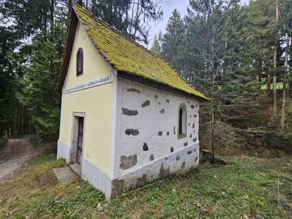
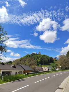
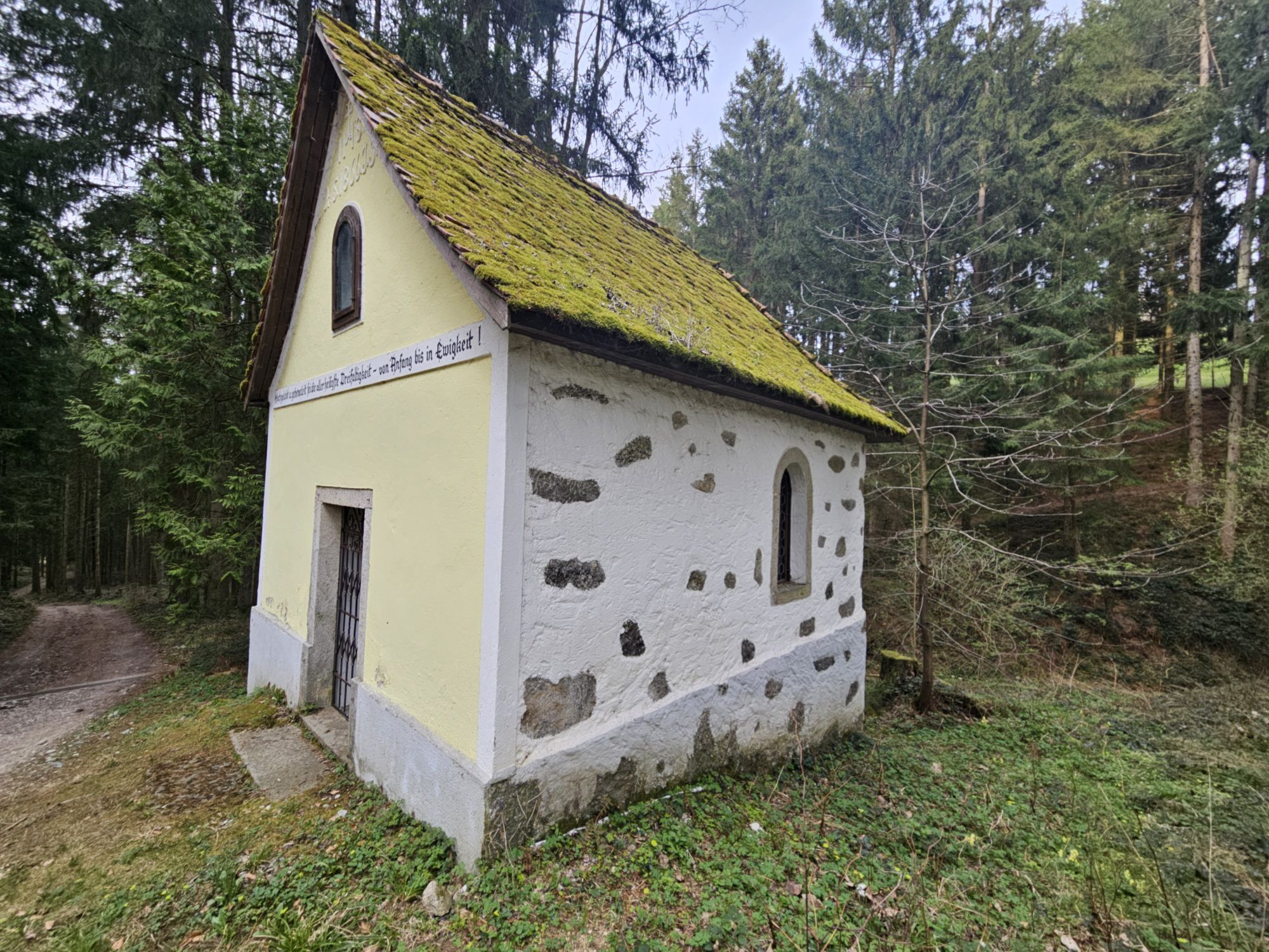
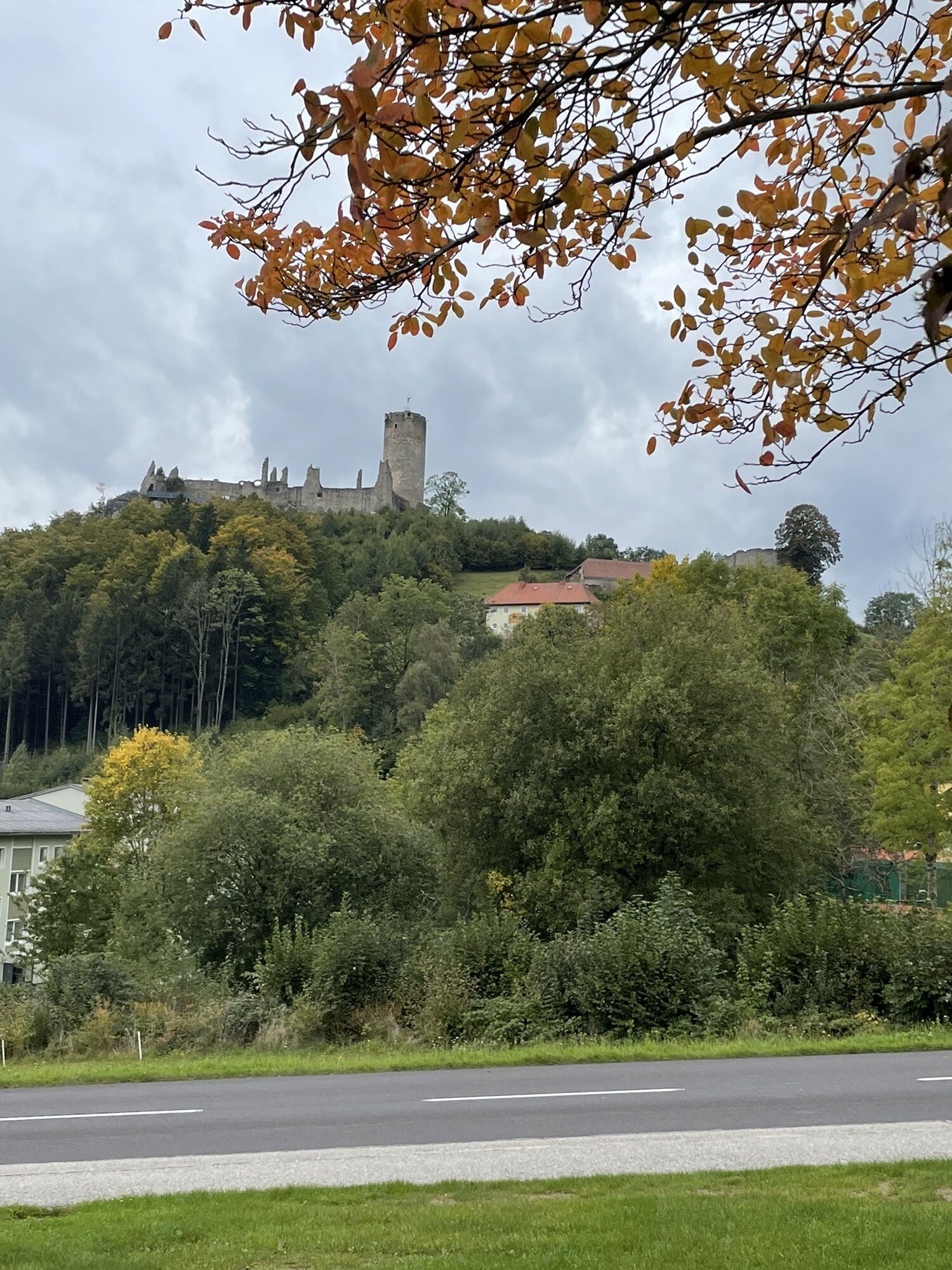
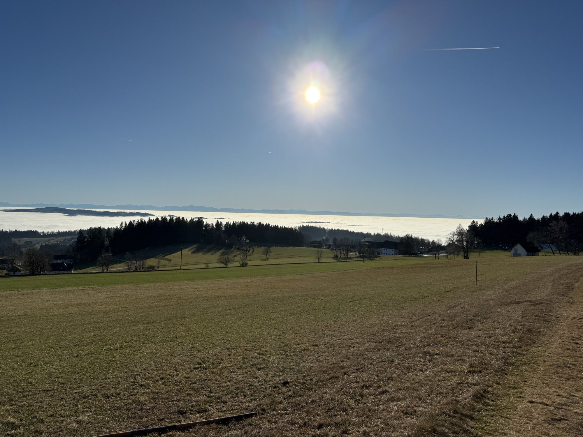
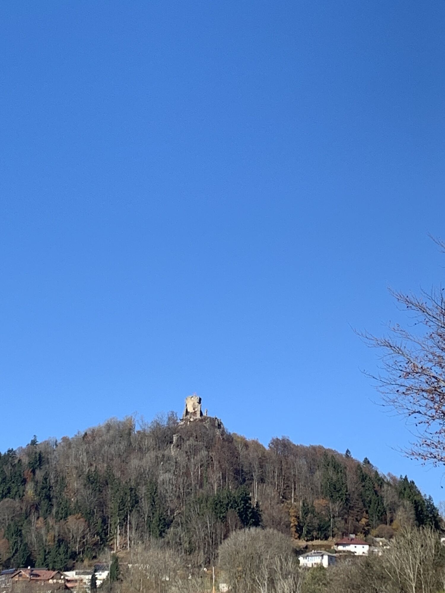
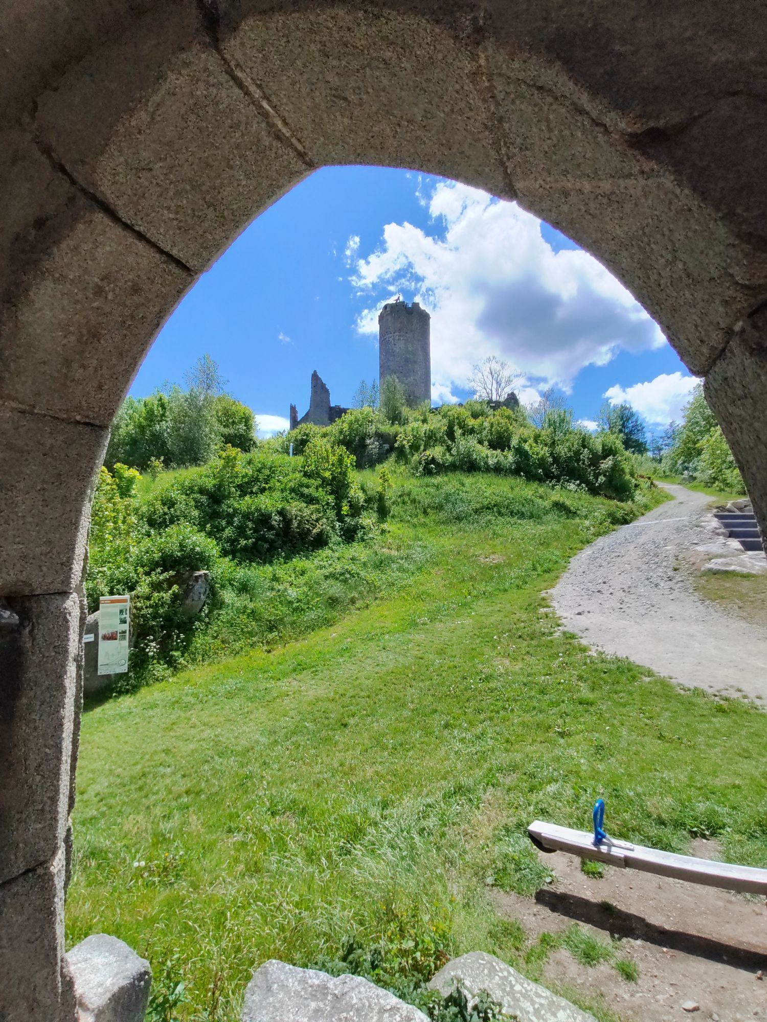
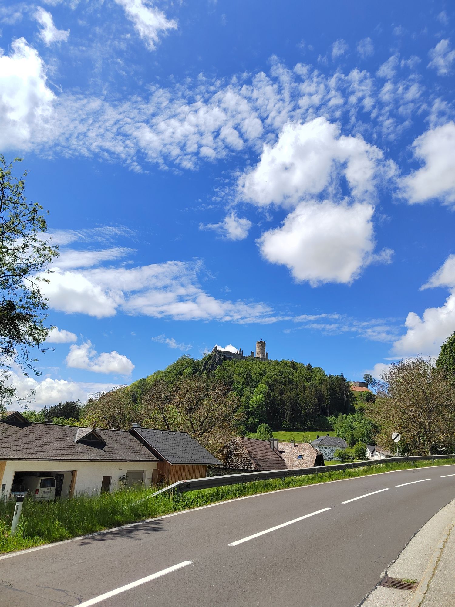
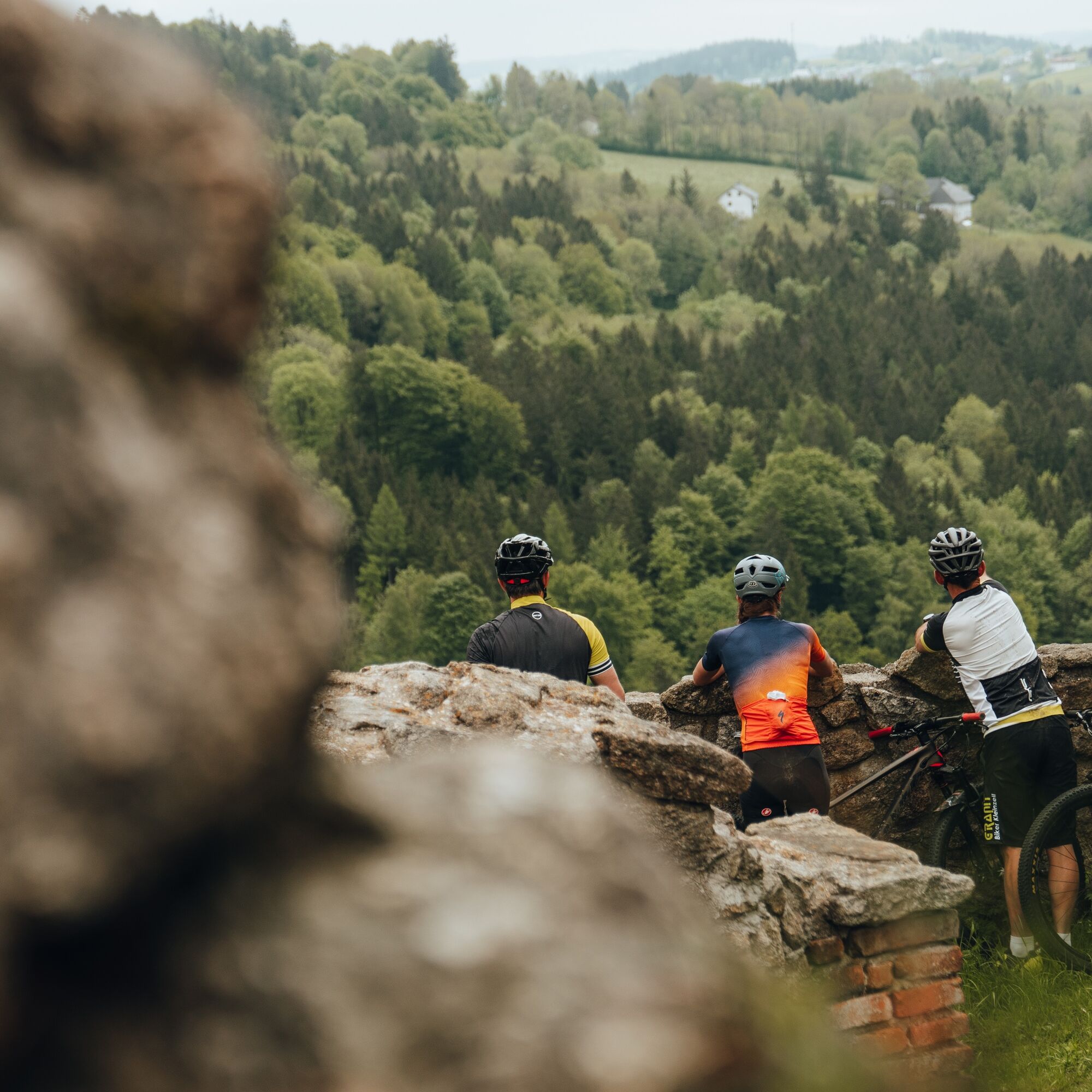
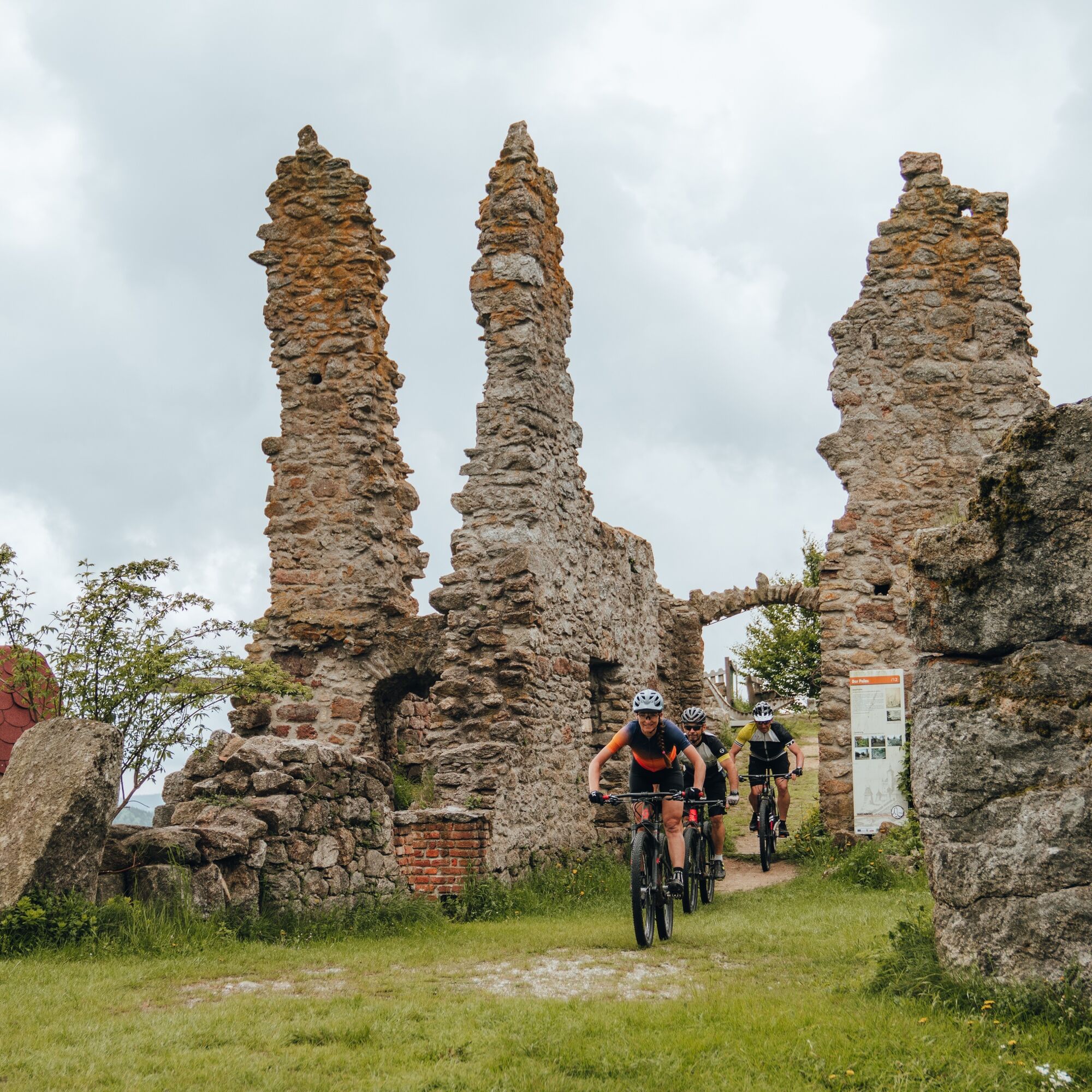
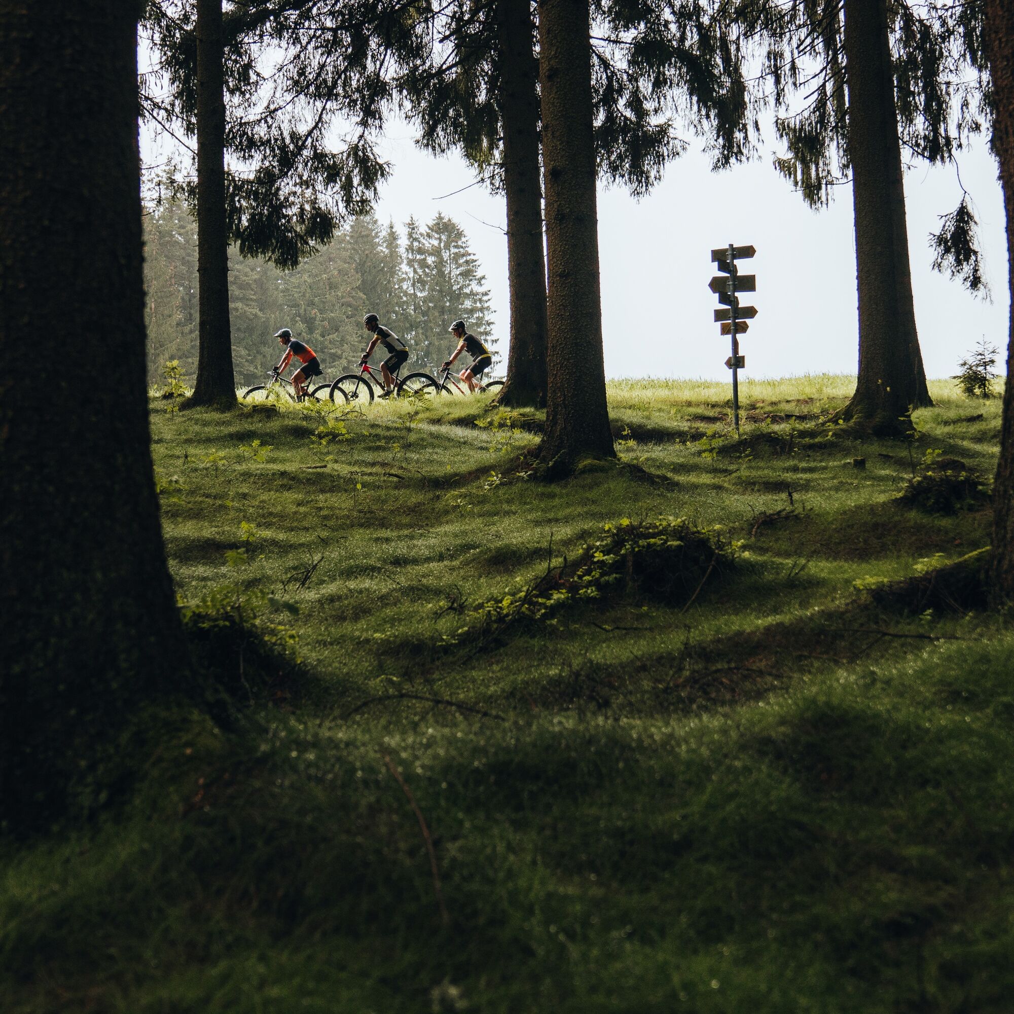
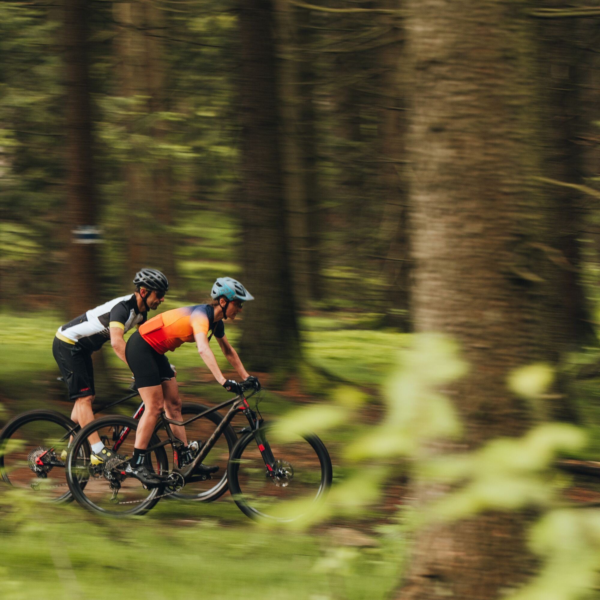
You start on the Bohemian Forest roof in the ridge village St. Stefan am Walde (805 m) with a short ascent and are already at the highest point (914 m) of this stage at the AVIVA Hotel. Congratulations! The Bohemian Forest – Central Europe’s largest forest area – begins behind the hotel and thus the first highlight: Wonderful Bohemian Forest biking along a gently descending 5.5 km ridge! Briefly you dive down into the depths of the coniferous forest towards the north. A large clearing there lets you experience the eternity of the forests and their rural oases. Back at the southern edge of the Bohemian Forest, ridge biking impresses with wide views, later forest trail fun on historic paths. From the lowest point, the Löfflersäge, it goes a short climb on a quiet country road along the edge of the Bohemian Forest to Guglwald (750 m). Scattered "CAUTION national border" signs recall the time of the Iron Curtain to the Czech Republic. The return route to the Danube begins with a scenic descent: Asphalt slalom through pure granite idyll – past the beautiful farmers’ hamlet Gugler (artful granite window and gate lintels, farm chapel, granite wayside shrine, ...) – down to the Stone Mill. On the opposite valley flank it goes steeply uphill briefly and over a gentle settlement ridge down to Piberschlag. There a nice excursion into the solitude of the hinterland surprises: After a short “trail” fun into the Brentenbach Valley, you cycle on rural feeder roads through forest solitude and hidden (mountain) farmland to the inconspicuous highest point of this detour – a crossroads (775 m). Congratulations! For welcome regeneration, the 2 km long flow descent into the hidden Holzmühl Valley to Untereben ensures a good rest. There a shady forest path leads briefly up the valley flank, then you cycle relaxed downhill through rural cultural landscape. Two highlights in a row: Trail-like mixed forest climb to Brandl, flowing downhill fun to the Atzmühle at the Stone Mill. There begins a dreamy mountain challenge: the multifaceted 7 km long climb (260 vertical meters) on the Petersberg ridge! Initially through lonely valley forest, then over a rural ridge and finally over rural terraces up the mountain flank to the Petersberg. There, steep sections, natural meadow paths surprise... and beautiful views back to the Bohemian Forest. At the roof of the Petersberg ridge – congratulations! – relaxed panoramic ridge cruising delights. Fast, 3 km long downhill fun alternating between asphalt surfing and path flow brings you back to the valley. A first view opens to our stage goal – the summit castle (ruin) Waxenberg! A short counter ascent to the farmers’ hamlet Kaiser and in the following valley floor begins the tough summit assault (230 vertical meters) on the cult lookout summit Hansberg. The mountain ride happens in four sections: rustic coniferous forest, an initially tricky meadow section, more relaxed riding through settlements and finally a partly tricky forest path. At the summit house "conglomerate" (= fusion of chapel, private houses, snack station, ... into one building) you stand at the highest point (850 m). Congratulations! By the way: already in the 17th century a 10 m high tower and a chapel were built here. In the 19th century it was torn down and a guest room with observation deck was built. Over time the ensemble grew with a youth hostel, ski lift, ... to a cult lookout summit. On the east side of the summit house today a panorama viewpoint allows a beautiful view of Pfarrkichen am Walde, Ameisberg & Co.
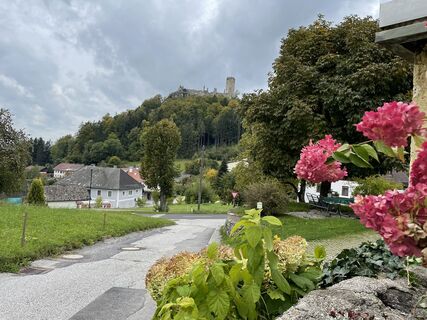
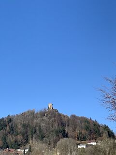
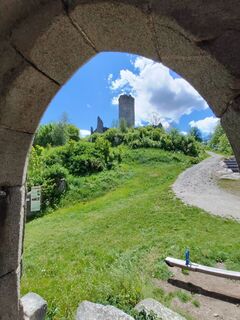
The 5 km long descent enchants with short trail fun, flowing speed rush on quiet country road to St. Veit im Mühlkreis and steep gravel path into the Small Rodltal. Above the idyllic meadow valley towers on a wooded hill the summit castle (ruin) Waxenberg. One more enjoyable ascent (170 vertical meters) through rural cultural landscape and beautiful mixed forest, then you have reached today’s stage goal, the summit castle village Waxenberg (748 m).
Da
How to get to the Danube region of Upper Austria?
The quick way to your destination – by train, bus, car, ship or airplane.
Priljubljeni izleti v okolici
-
4.5
Sternsteinrunde
svetlobaPohodništvo 7.48 km -
4.4
Moorweg Bad Leinfelden
svetlobaPohodništvo 4.85 km -
4.1
Schwedenschanze, Bad Leonfelden
svetlobaPohodništvo 10.2 km -
4.8
Von Linz zum Sternstein
svetlobaPohodništvo 44.7 km -
4.3
Michlweg
srednjaPohodništvo 11.2 km -
3.8
Großer Hopfensteig
srednjaPohodništvo 12.8 km -
4.8
Sternstein / Bad Leonfelden
svetlobaPohodništvo 13.6 km -
3.2
Hansbergrunde
srednjaPohodništvo 15.9 km -
4.5
Kraft-Quelle-Baum
srednjaPohodništvo 59.1 km -
4.0
St. Veit - Hansberg - Waxenberg
Pohodništvo 10.7 km

Pohodništvo in sledenje


Ne zamudite ponudb in navdiha za naslednje počitnice
Vaš e-poštni naslov je bil dodan na poštni seznam.