


S502 Raschberg Runde
Stopnja težavnosti: S2
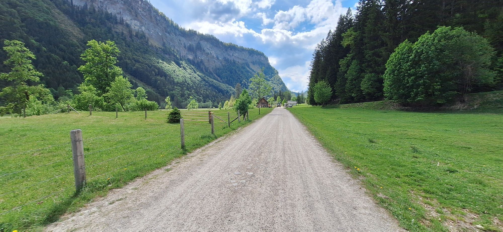
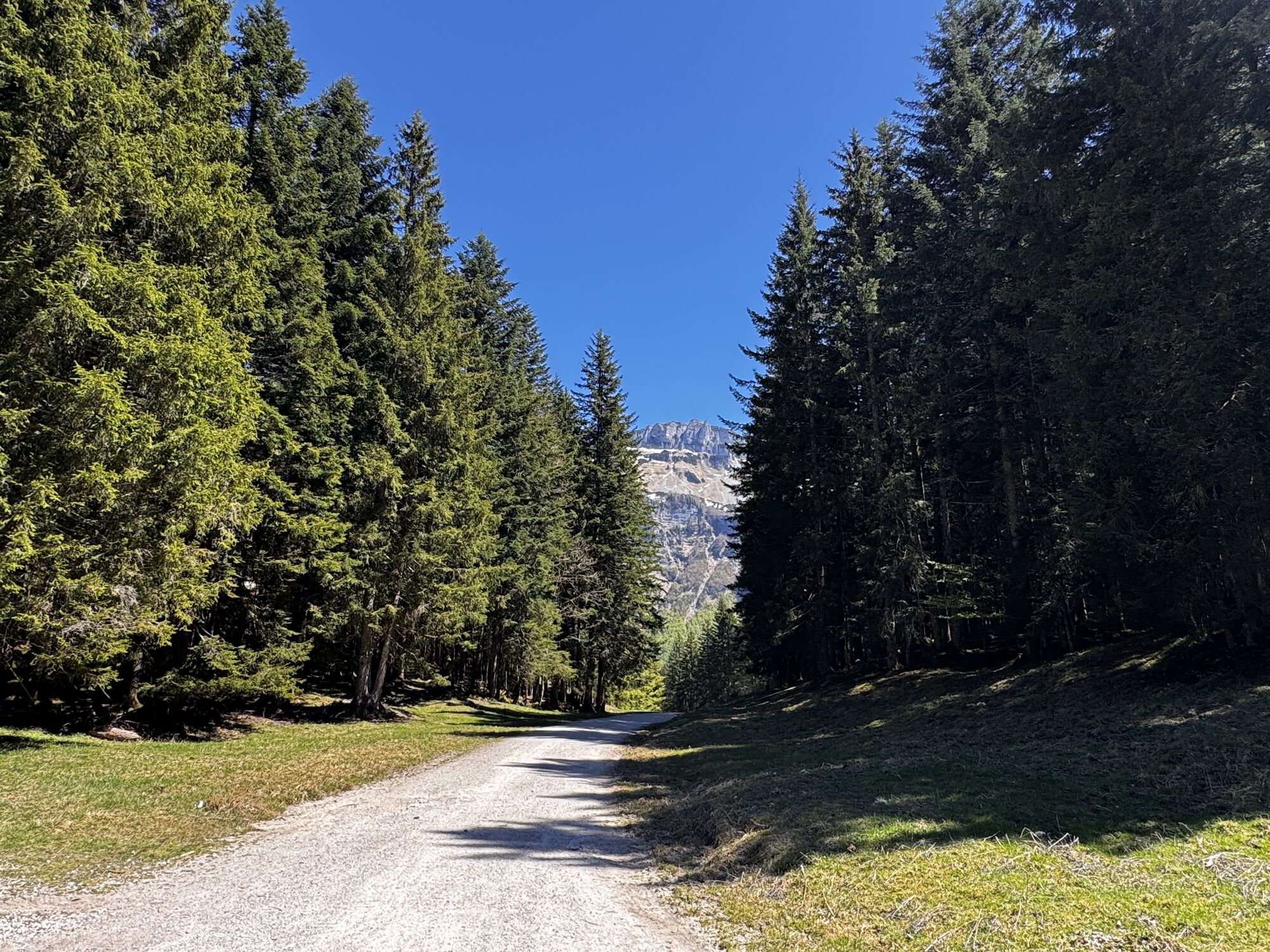
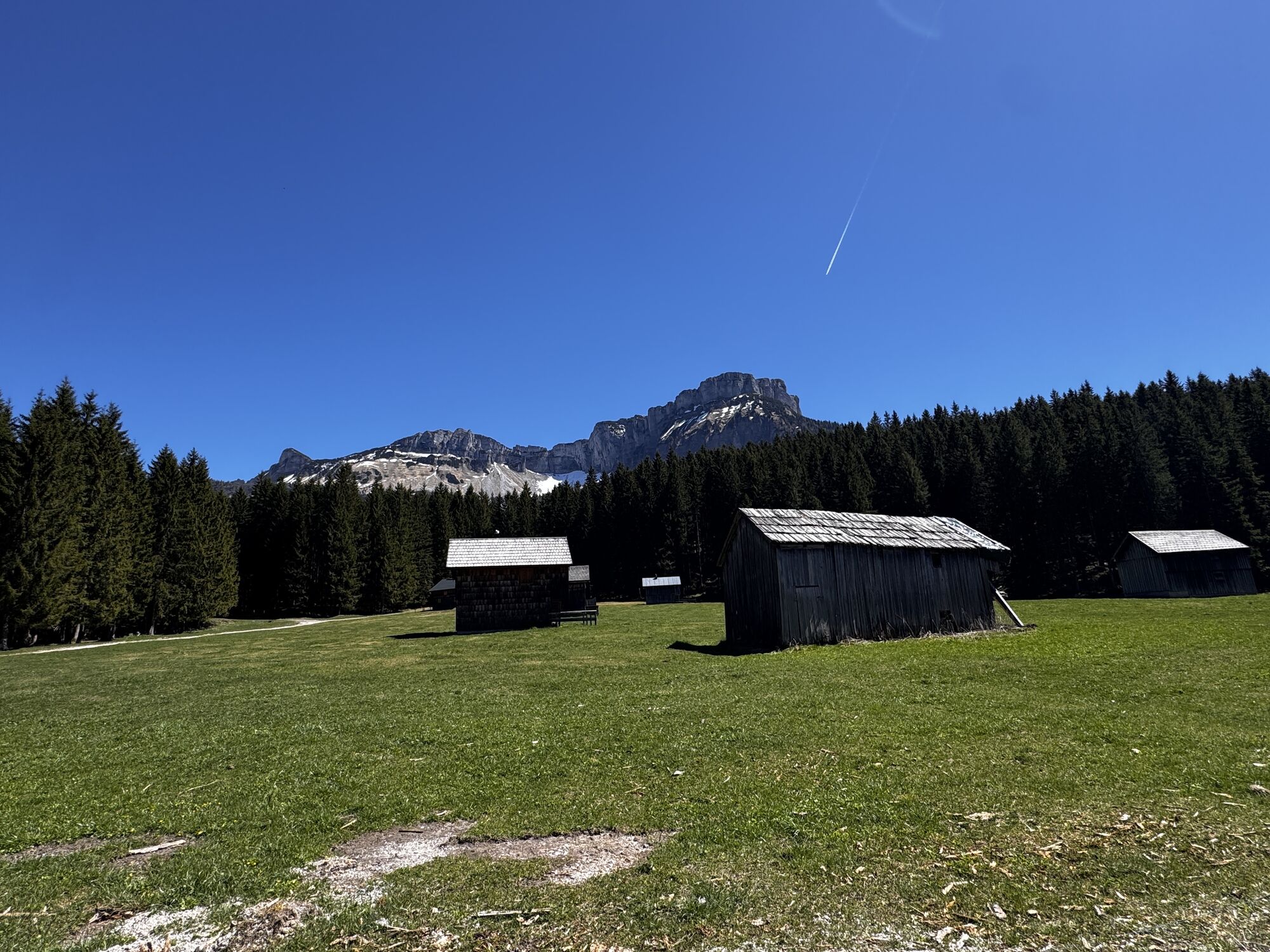
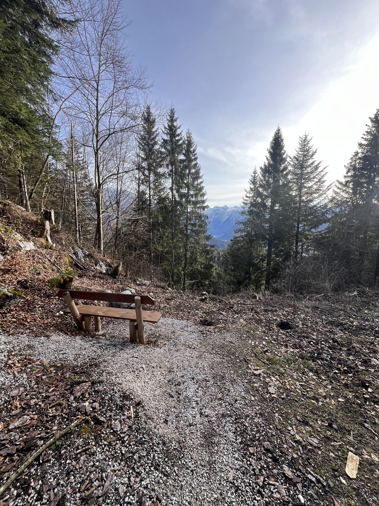
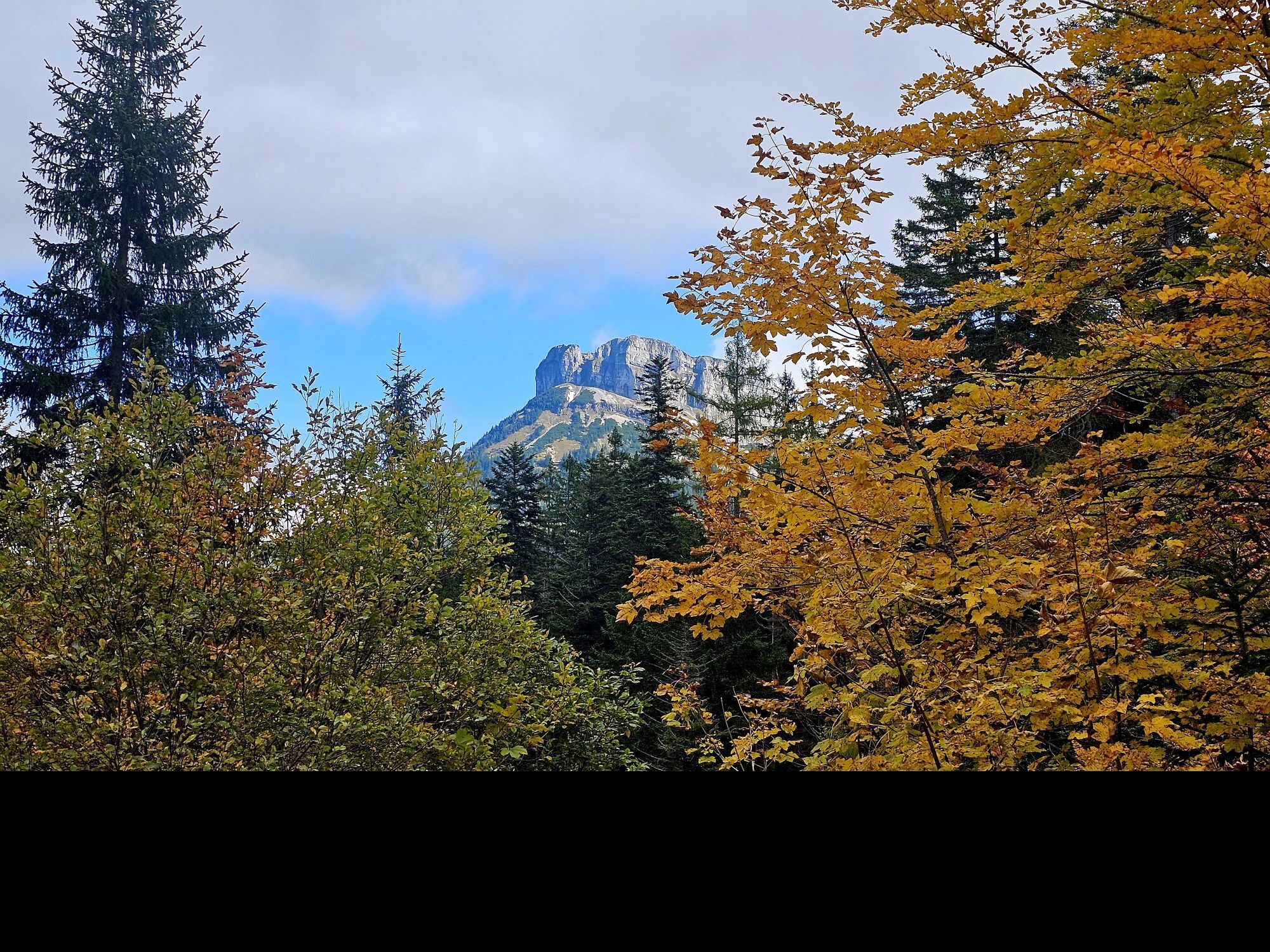
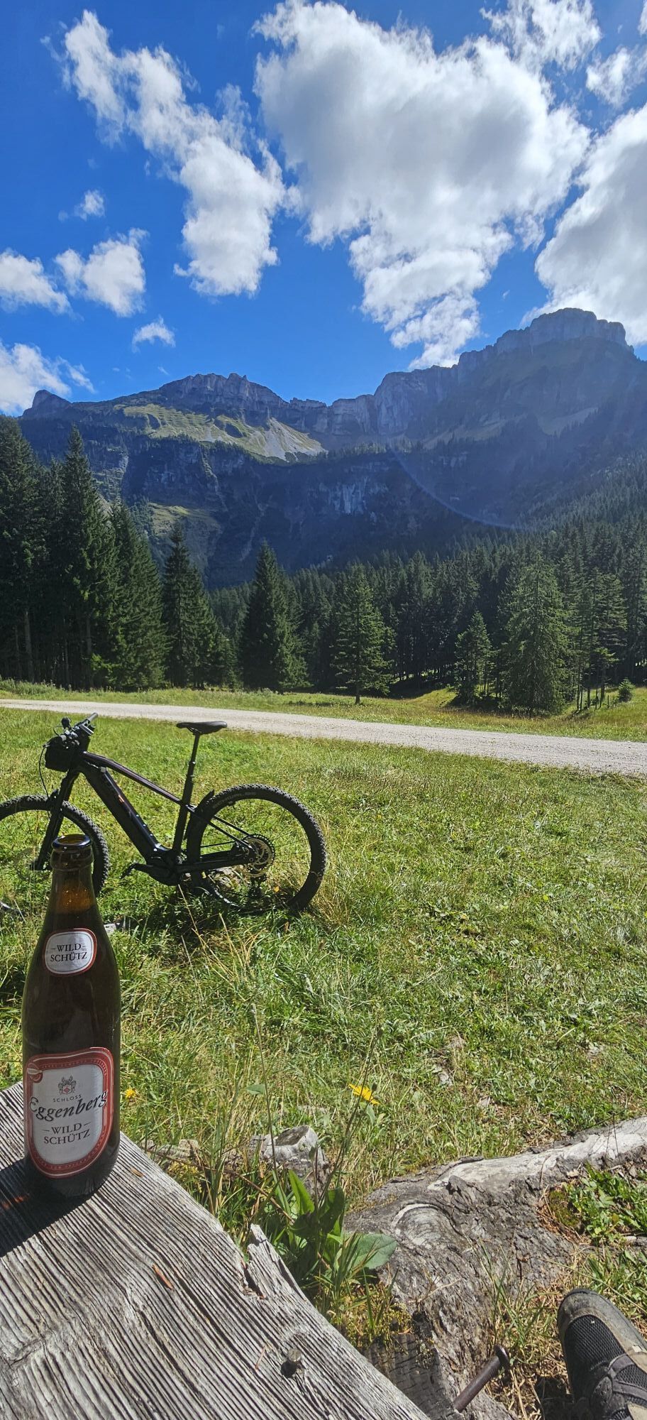
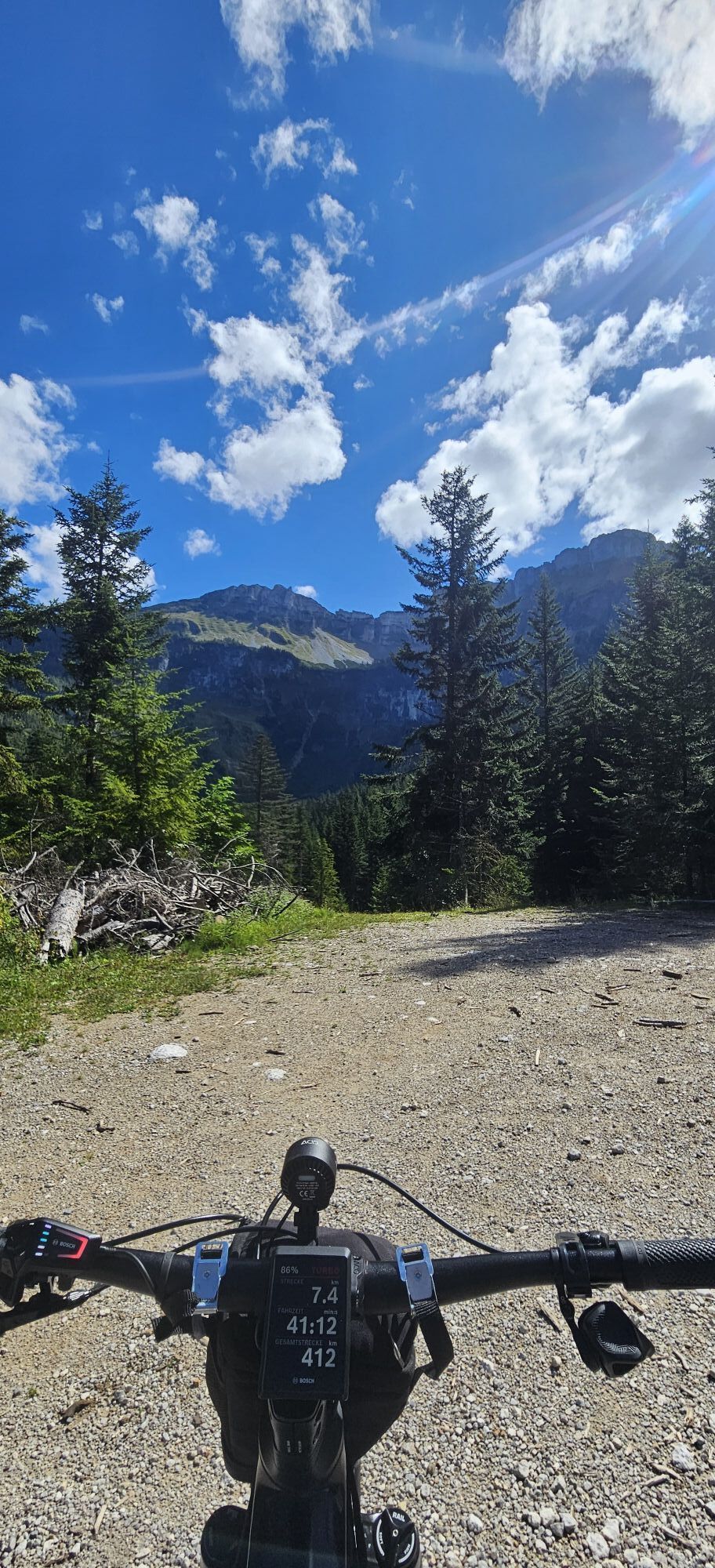
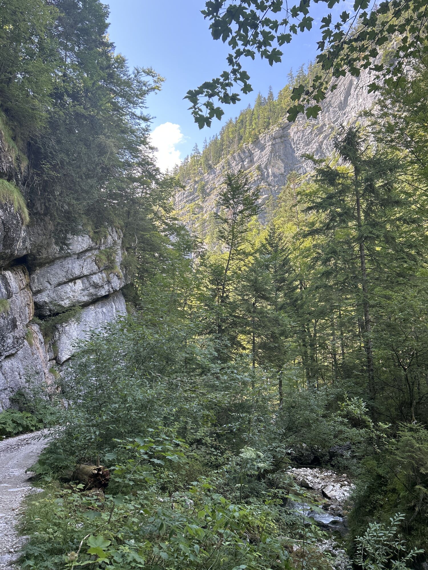
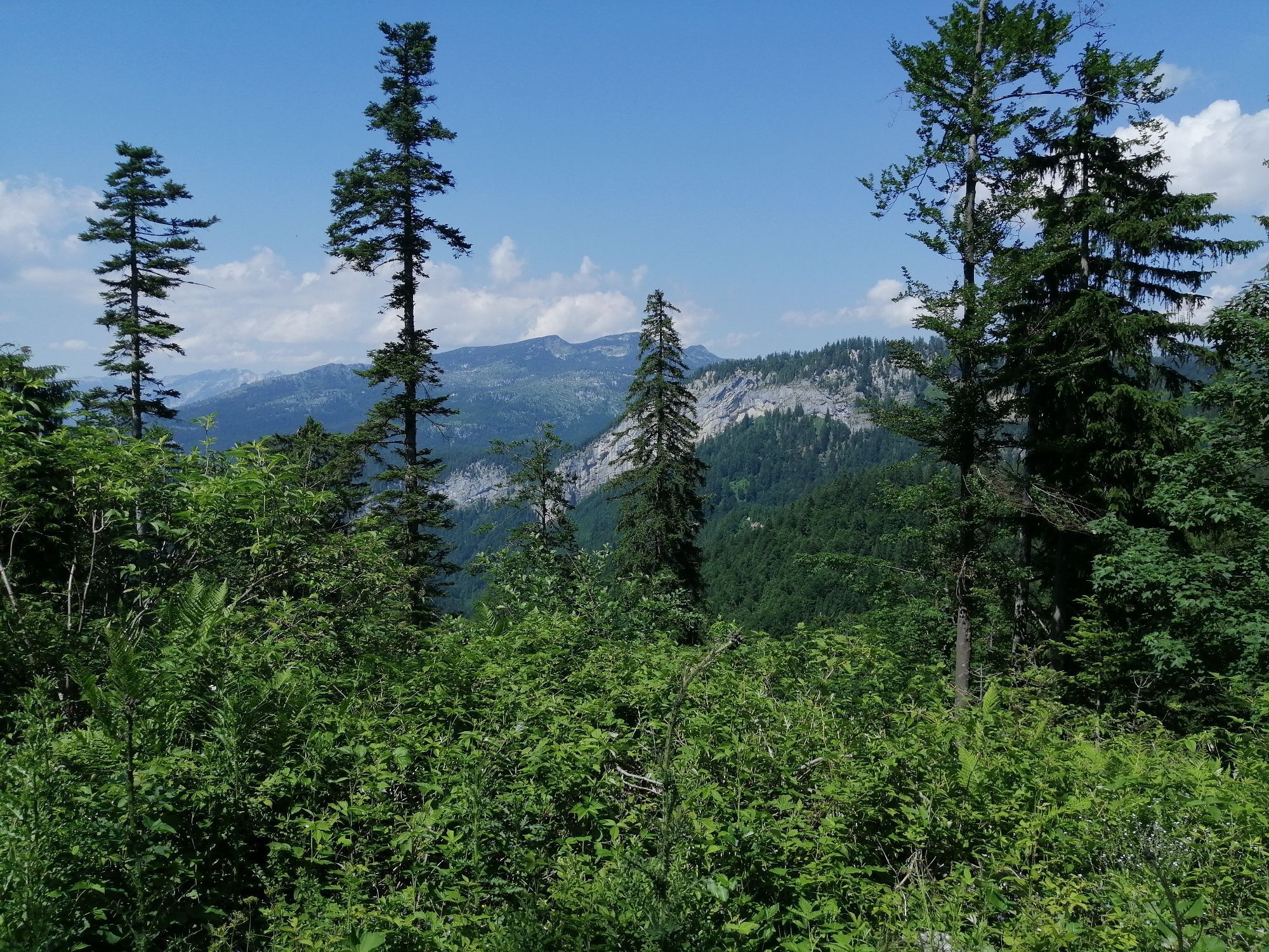
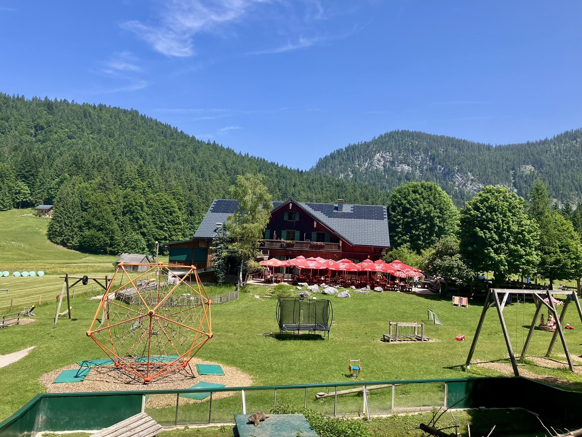
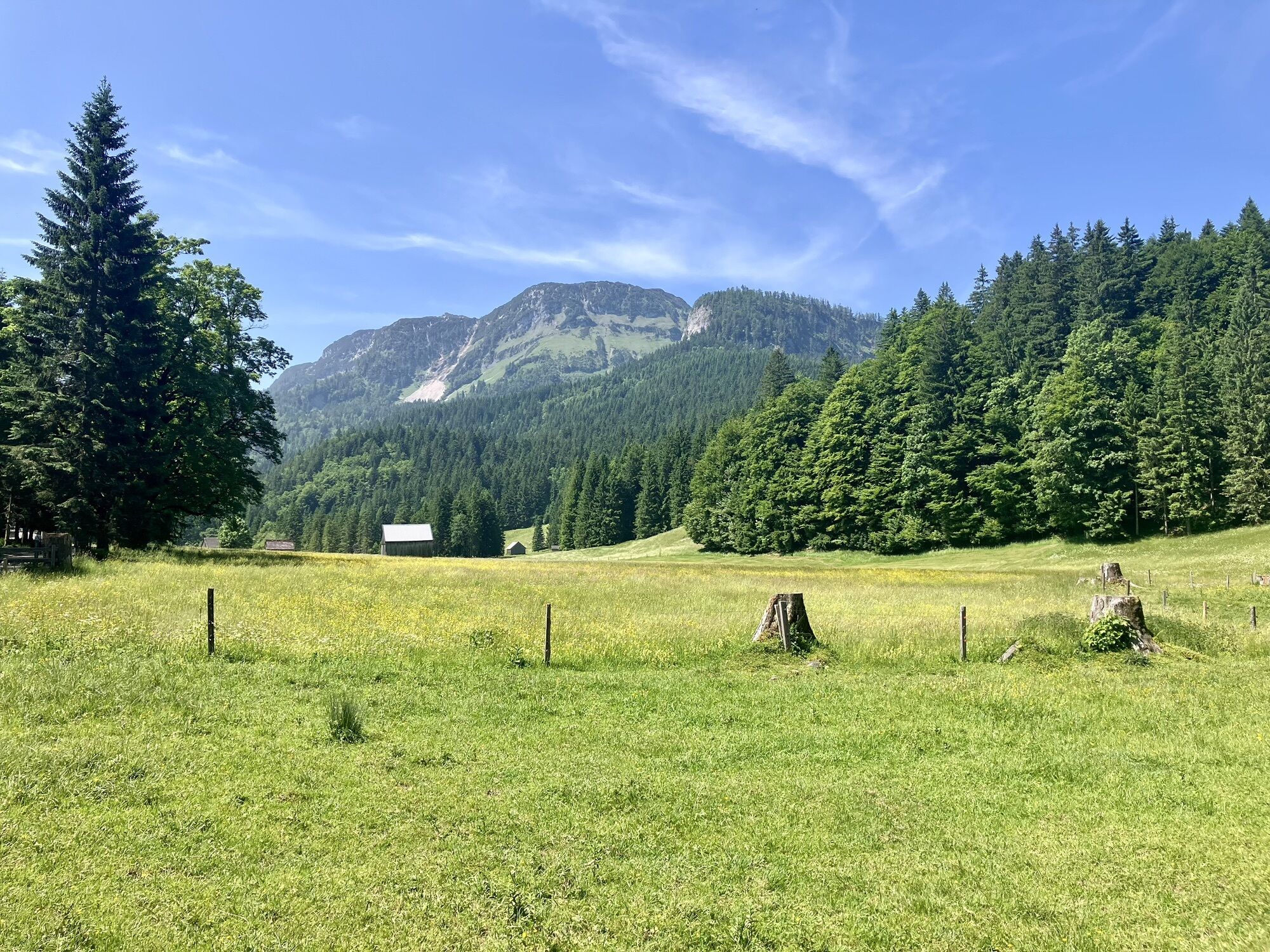
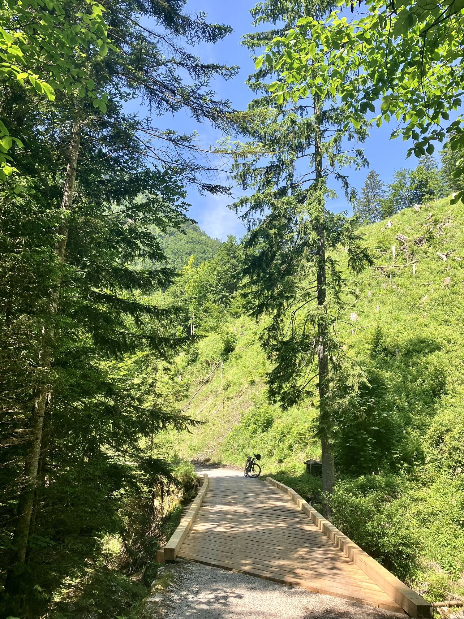
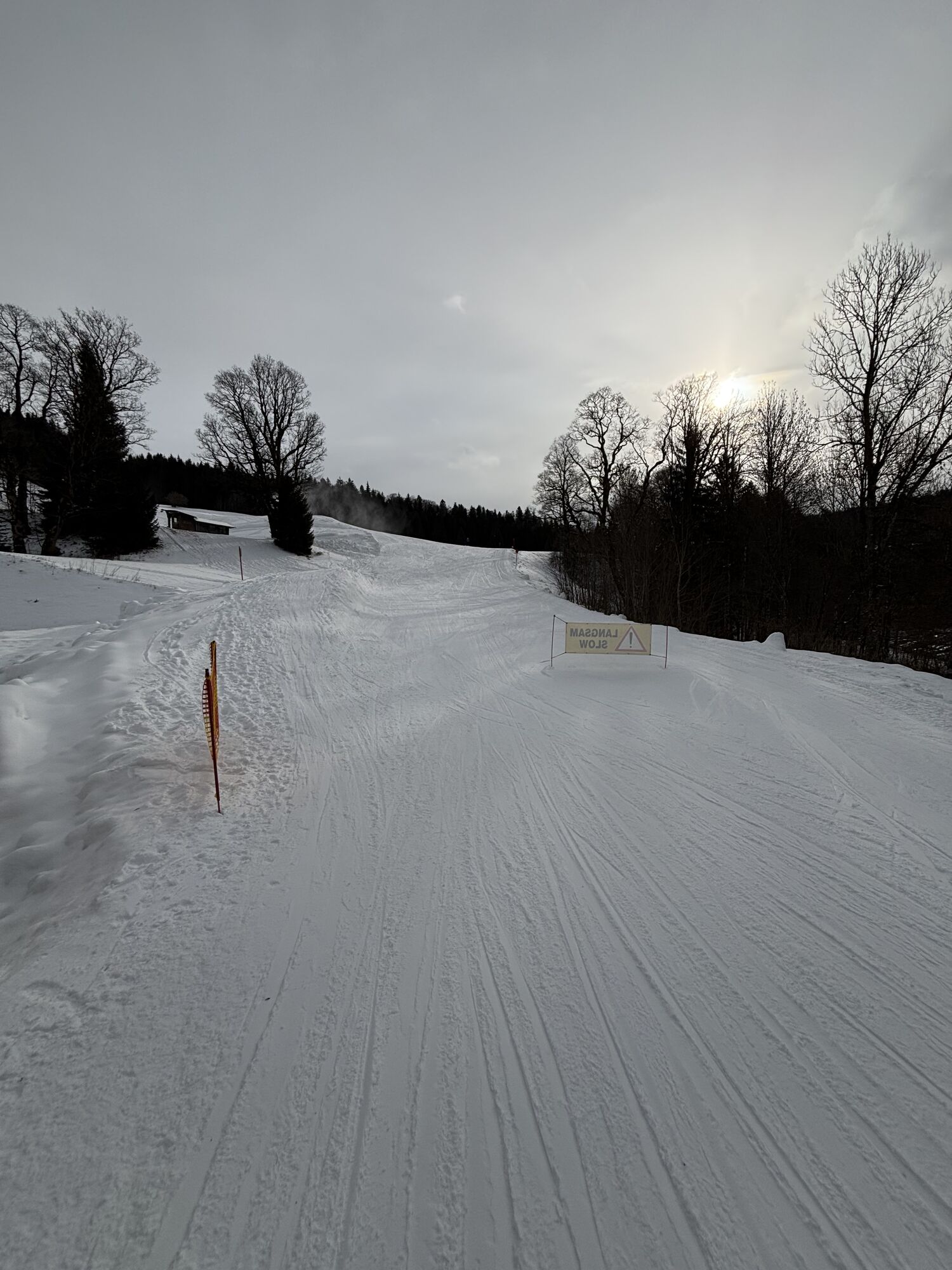
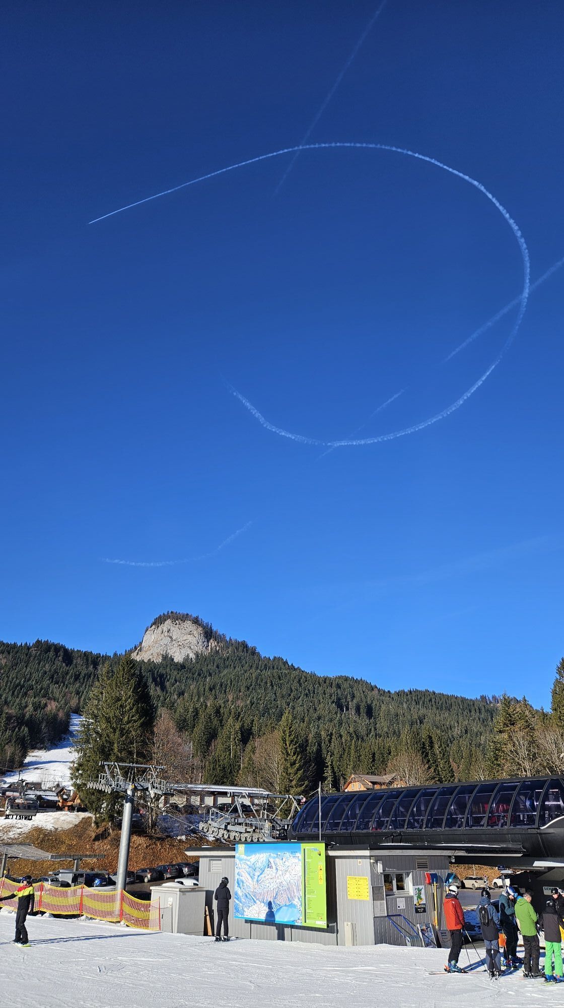
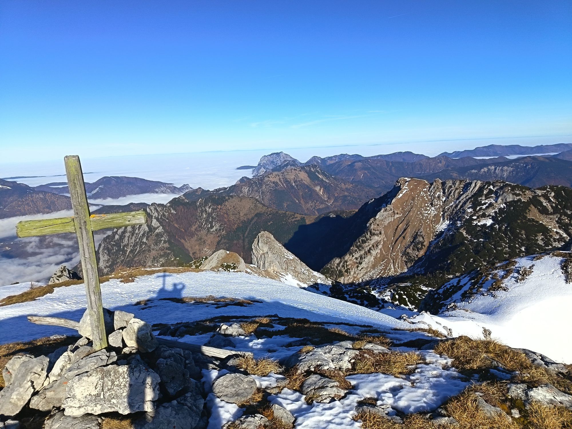
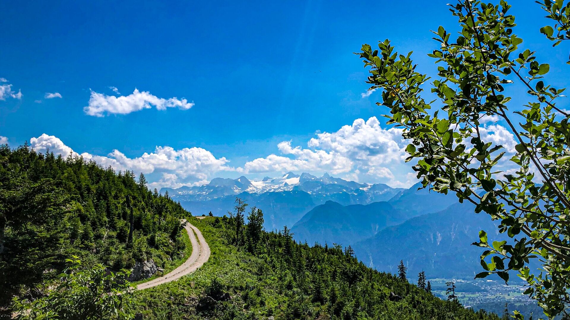
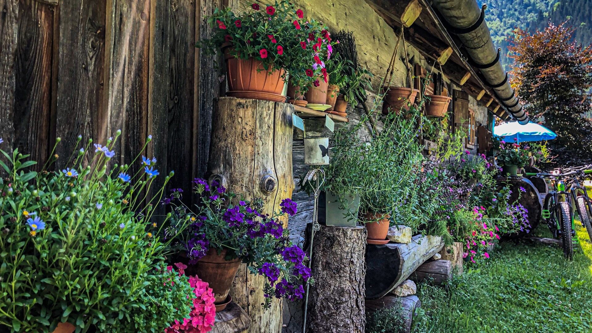
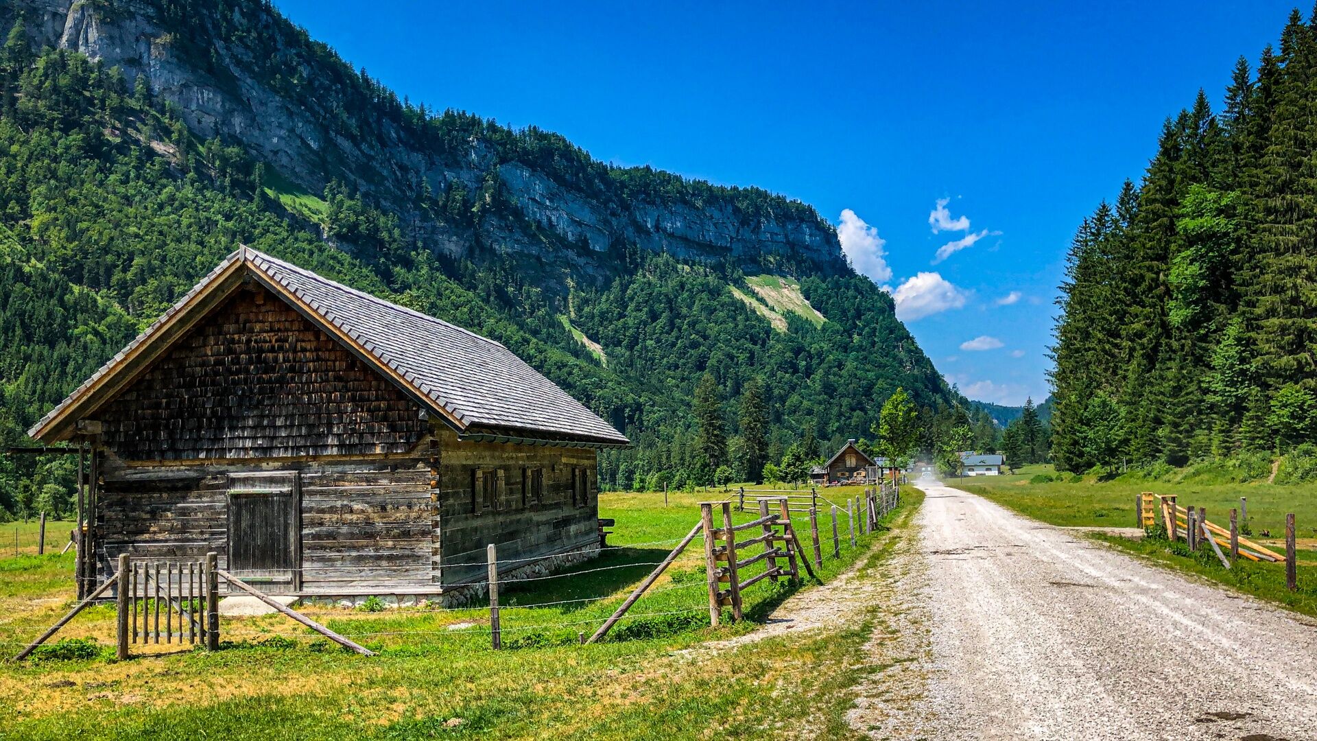
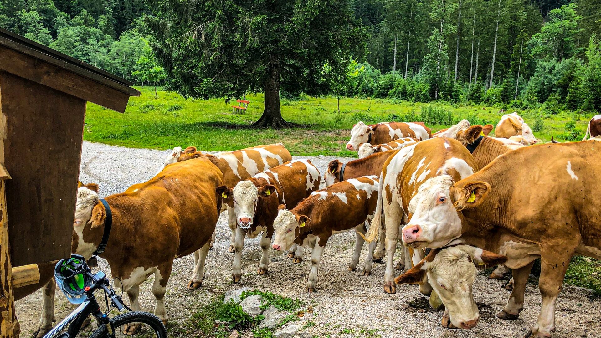
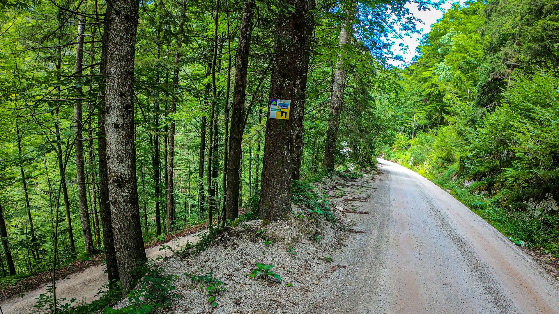
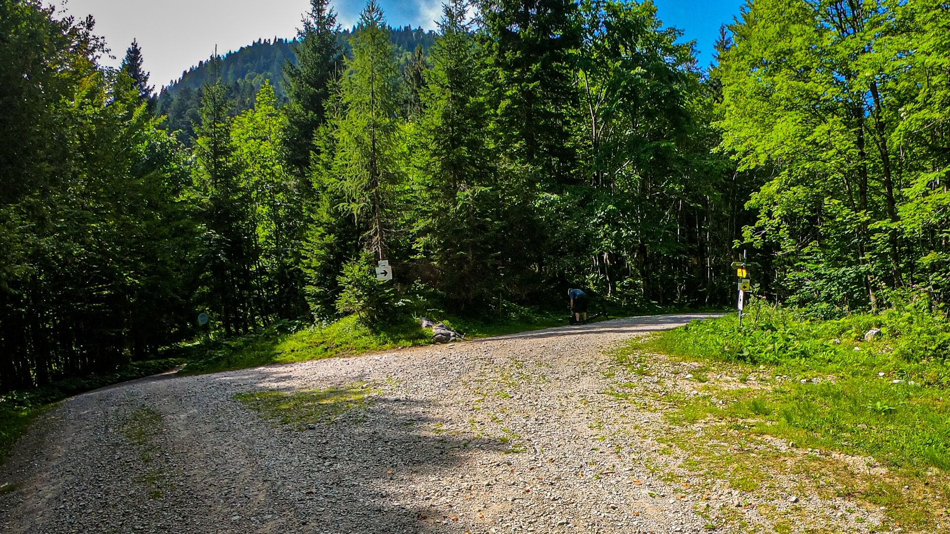
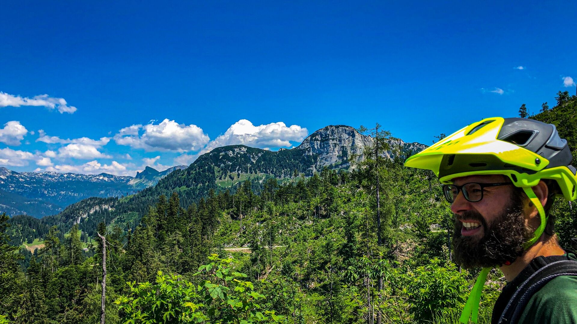
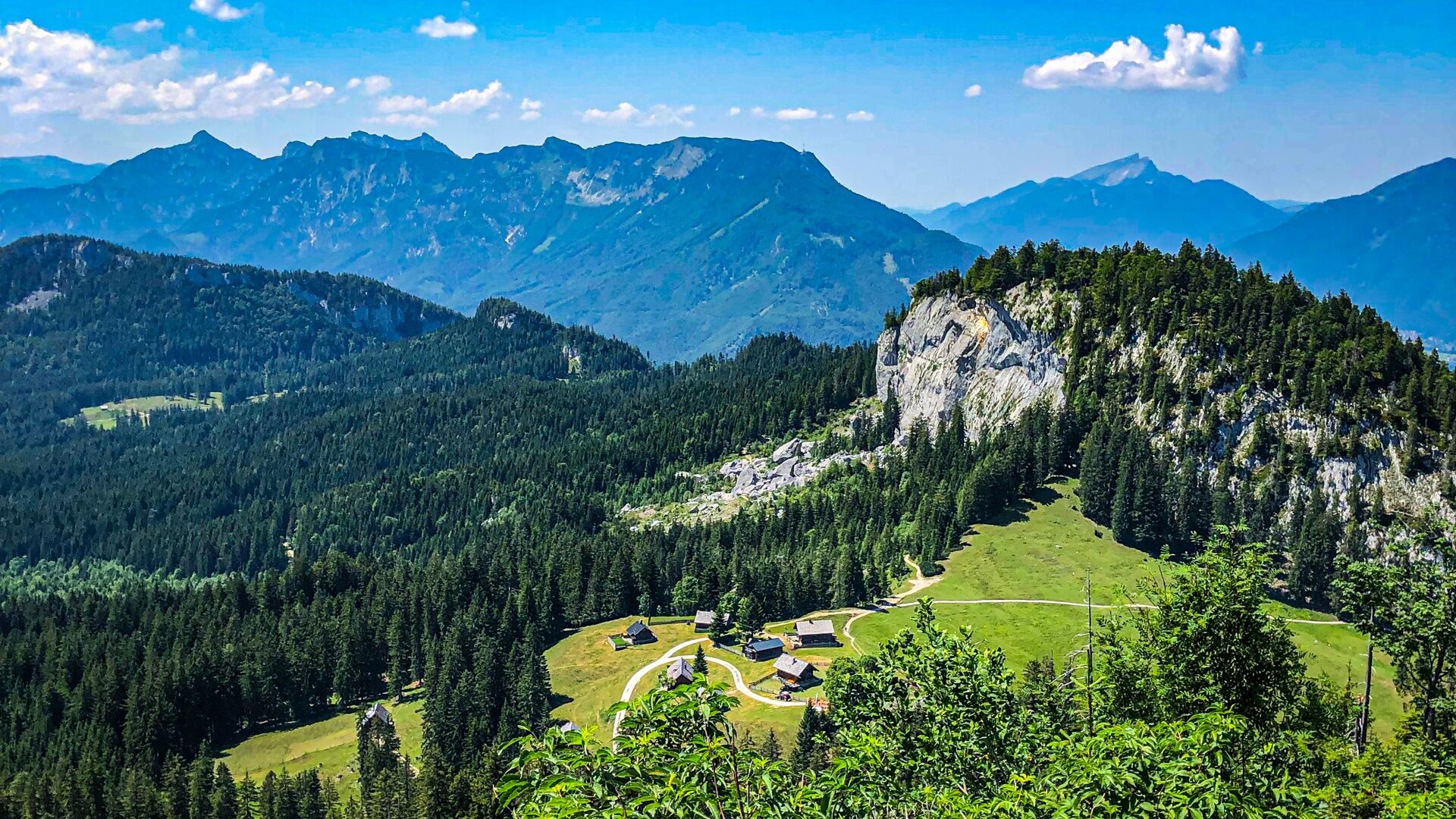
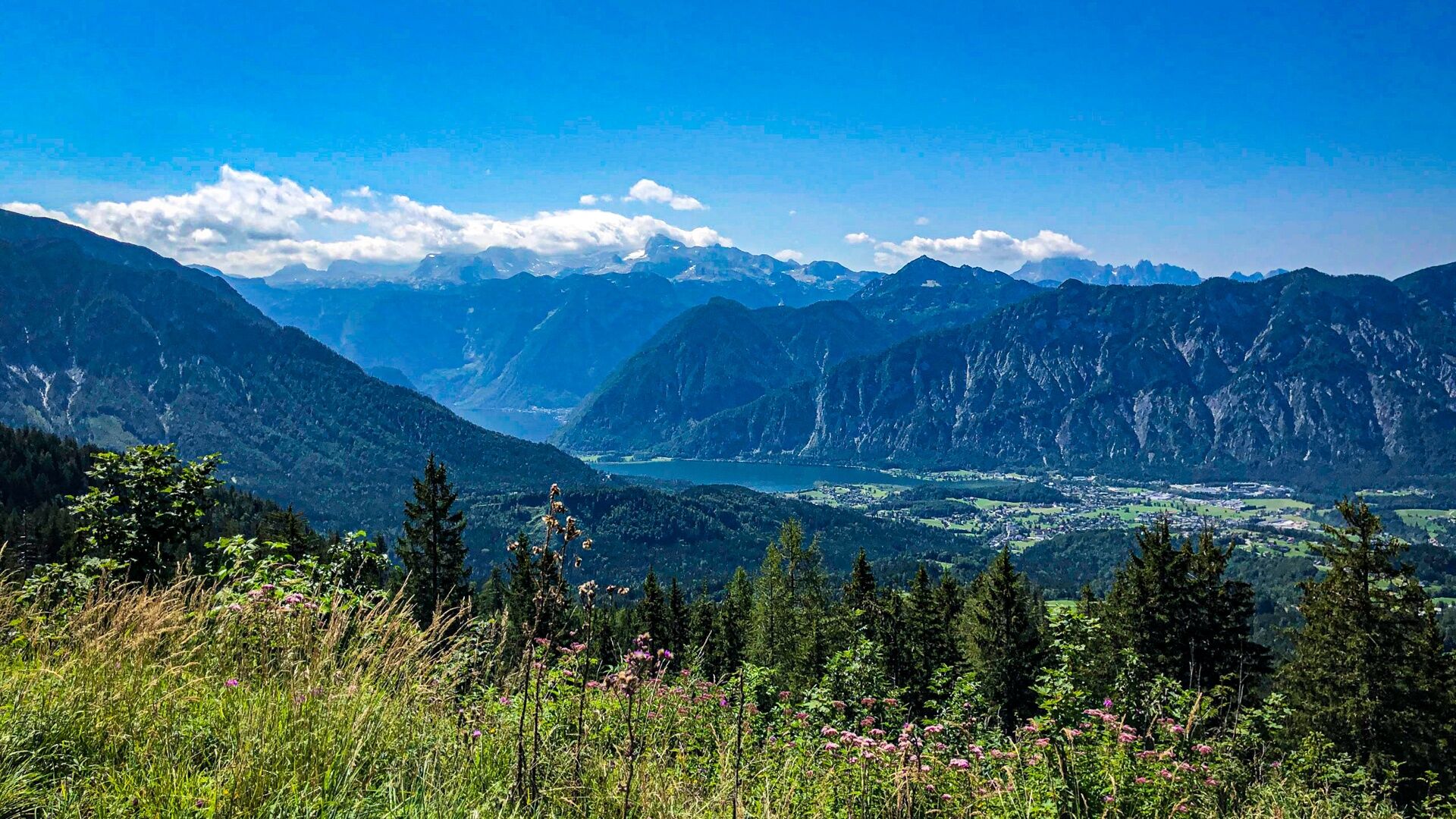
Fotografije naših uporabnikov

 © joryne68Ustvarjeno na 10.05.2026
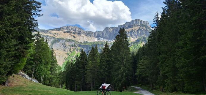 © joryne68Ustvarjeno na 10.05.2026
 © Friederike SteyrerUstvarjeno na 01.05.2026
 © Friederike SteyrerUstvarjeno na 01.05.2026
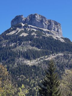 © Friederike SteyrerUstvarjeno na 01.05.2026
 © DerFuchslUstvarjeno na 13.02.2026
 © Michael M.Ustvarjeno na 12.10.2025
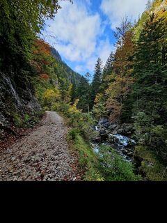 © Michael M.Ustvarjeno na 11.10.2025
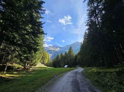 © Michael M.Ustvarjeno na 11.10.2025
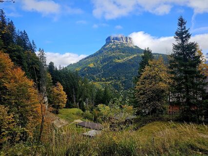 © Michael M.Ustvarjeno na 11.10.2025
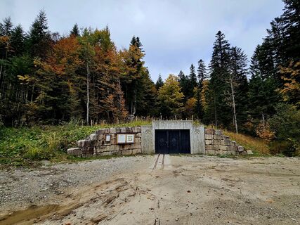 © Michael M.Ustvarjeno na 11.10.2025
 © Michael M.Ustvarjeno na 11.10.2025
 © Johann SchallingerUstvarjeno na 06.09.2025
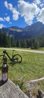 © Johann SchallingerUstvarjeno na 06.09.2025
 © Johann SchallingerUstvarjeno na 06.09.2025
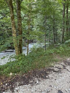
 © Max WeilhartnerUstvarjeno na 24.08.2025
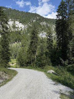 © Max WeilhartnerUstvarjeno na 24.08.2025
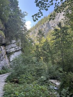
 © Peter PuehrerUstvarjeno na 18.08.2025
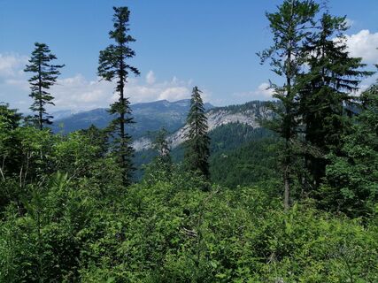
 © otmar strasserUstvarjeno na 20.06.2025
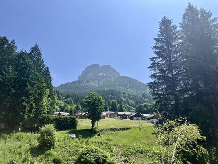
 © Johann HolzingerUstvarjeno na 13.06.2025
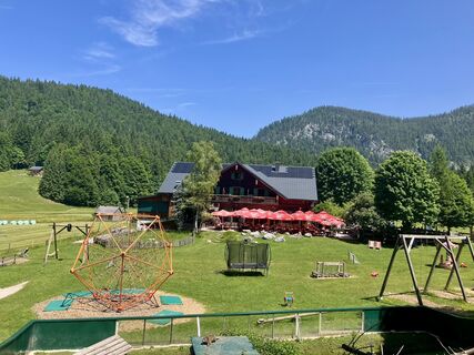 © Johann HolzingerUstvarjeno na 13.06.2025
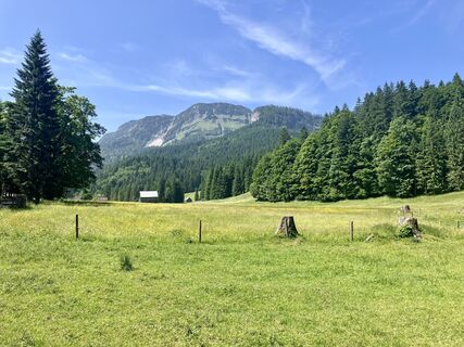 © Johann HolzingerUstvarjeno na 13.06.2025
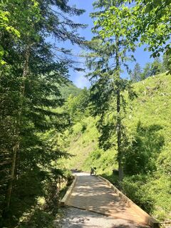 © Johann HolzingerUstvarjeno na 13.06.2025
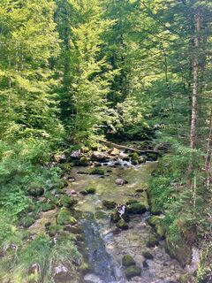 © Johann HolzingerUstvarjeno na 13.06.2025
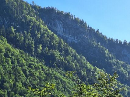
 © Brigitte WölkartUstvarjeno na 31.05.2025
 © Brigitte WölkartUstvarjeno na 31.05.2025
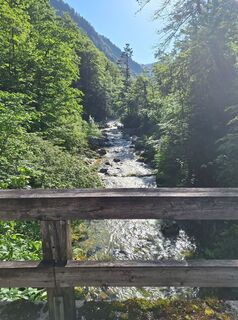 © Brigitte WölkartUstvarjeno na 31.05.2025
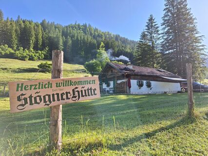 © Brigitte WölkartUstvarjeno na 31.05.2025
 © WilliStUstvarjeno na 11.05.2025
 © Brigitte WölkartUstvarjeno na 07.05.2025
 © Johann SchallingerUstvarjeno na 19.04.2025
 © Johann SchallingerUstvarjeno na 19.04.2025
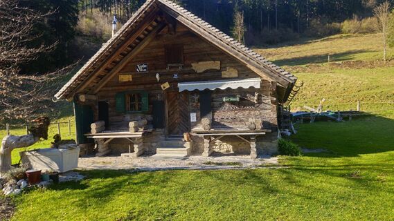 © Johann SchallingerUstvarjeno na 12.04.2025
 © Johann SchallingerUstvarjeno na 12.04.2025
 © Johann SchallingerUstvarjeno na 12.04.2025
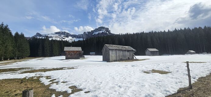 © Johann SchallingerUstvarjeno na 11.03.2025
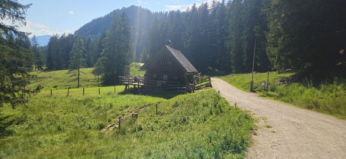 © Johann SchallingerUstvarjeno na 15.07.2024
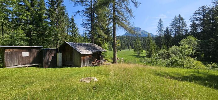 © Johann SchallingerUstvarjeno na 15.07.2024
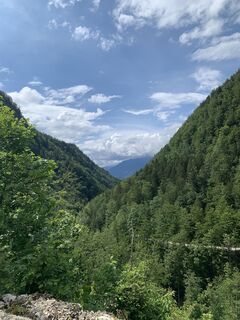
 © Michael KoglerUstvarjeno na 25.05.2024
 © Jürgen on TourUstvarjeno na 17.05.2026
 © Sonja 64Ustvarjeno na 01.05.2026
 © Christian Holzer 3Ustvarjeno na 15.03.2026
 © Michael EtlingerUstvarjeno na 19.02.2026
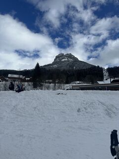
 © Sem1610Ustvarjeno na 16.02.2026
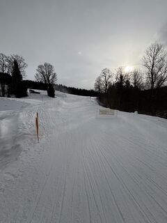
 © PedaUstvarjeno na 02.01.2026
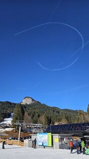
 © Robert8992Ustvarjeno na 27.12.2025
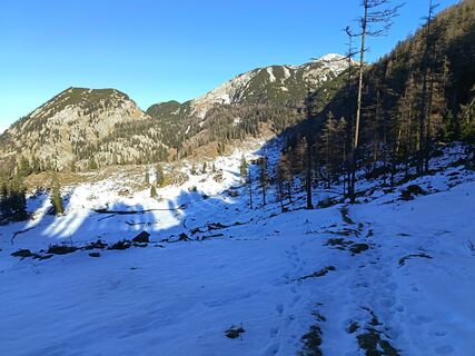
 © Róbert BaloghUstvarjeno na 14.12.2025
 © Róbert BaloghUstvarjeno na 14.12.2025


The Raschberg Runde S502 includes short trail sections with few hairpin bends in the area of the Ewige Wand towards Posern which are rideable with sufficient riding technique. Some steep forest roads after...
The Raschberg Runde S502 includes short trail sections with few hairpin bends in the area of the Ewige Wand towards Posern which are rideable with sufficient riding technique. Some steep forest roads after the Rettenbachalm leading up to the Raschberghütte need to be climbed.
The length of the tour and character limit allow only a few highlights to be described here.
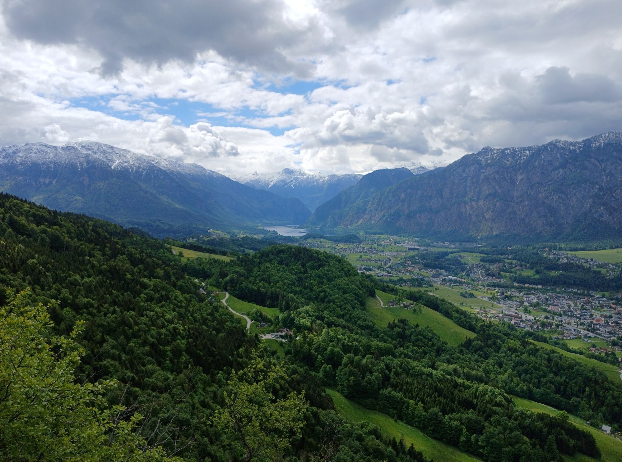
Historic salt mining area in Styria with view of the Loser and a stop at the Blaa Alm crossing the Rettenbachklamm to the Rettenbachalm and ascent to the Raschberg which was completely changed by storm Kyrill, with a multitude of flowers and incredible panoramic views in almost every direction. The Raschberghütte has one of the most beautiful and most secluded sun terraces in the Salzkammergut and further ups and downs towards the Lesehotel and trail fun in the area of the Ewige Wand towards Posern to finish with a short asphalt intermezzo in Bad Goisern back at the starting point.
We start at the town hall in Bad Goisern and turn right into the marketplace. We follow the Salzkammergut cycle path R2 towards Hallstatt. After about 1.6km, the cycle path turns right onto the B166 towards Hallstatt/Gosau and we stay on the cycle path along the B166 for another 1000m.
At the Reiterergasse bus stop (km2.6) we cross the B166 to the left and ride past Pancho Wheels towards St. Agatha for another 1000m to turn left up at the fire station (km3.6). After 300m we cross the B145 at the Senferei (km3.9) and ride lightly uphill on asphalt on the Halleralmstraße. After about 400m at the junction we keep right, cross the creek and ride on the Pichlern farm road, past the St. Agatha shooting house, for another 500m on asphalt, then turn right downhill in the left curve (km4.8) onto the Leislingstraße on gravel.
Now we follow the Große Zlambach uphill on the Leislingstraße, staying on the path for about 2.6km and at the fork we turn left downhill (km7.6). After about 200m we cross the Zlambach and it continues with about 220m elevation gain and 2km on gravel uphill in curves on the Leislingstraße until we turn right onto the Halleralmstraße (km9.8).
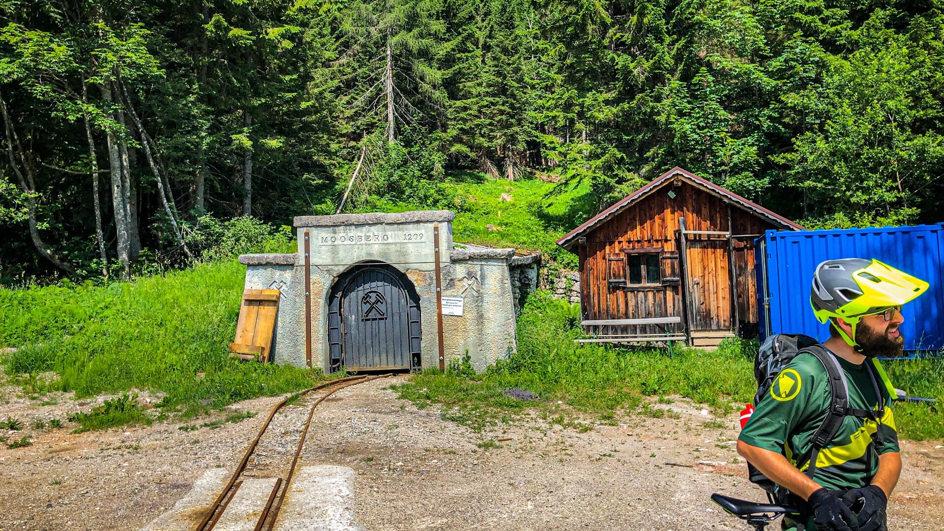
We ride lightly uphill on the Halleralmstraße, cross the Sandlingbach and after about 1.1km turn 90 degrees left (km10.9) onto the forest road and after another 900m turn right at the intersection (km11.8). It goes slightly downhill to the small settlement Brand which we reach after about 500m at km12.3. We turn left into Scheibenstraße and after another 500m take the forest road uphill to the left (km12.8) towards the mining area.
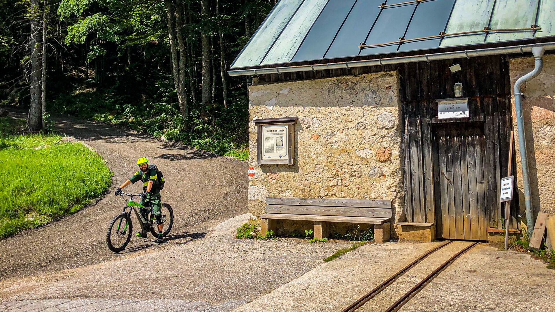
The forest road runs lightly uphill on a long straight. Shortly after the left curve through the Moosberg-Moor it goes downhill and after about 2.4km in a tight right curve past a mine tunnel further towards the salt mine which we reach after about 500m at km15.7.
From here it goes steeply downhill on asphalt about 600m, we stay on the main path and ride left downhill in a hairpin for about 1km where we meet the Blaastraße (km17.3) and turn left uphill.
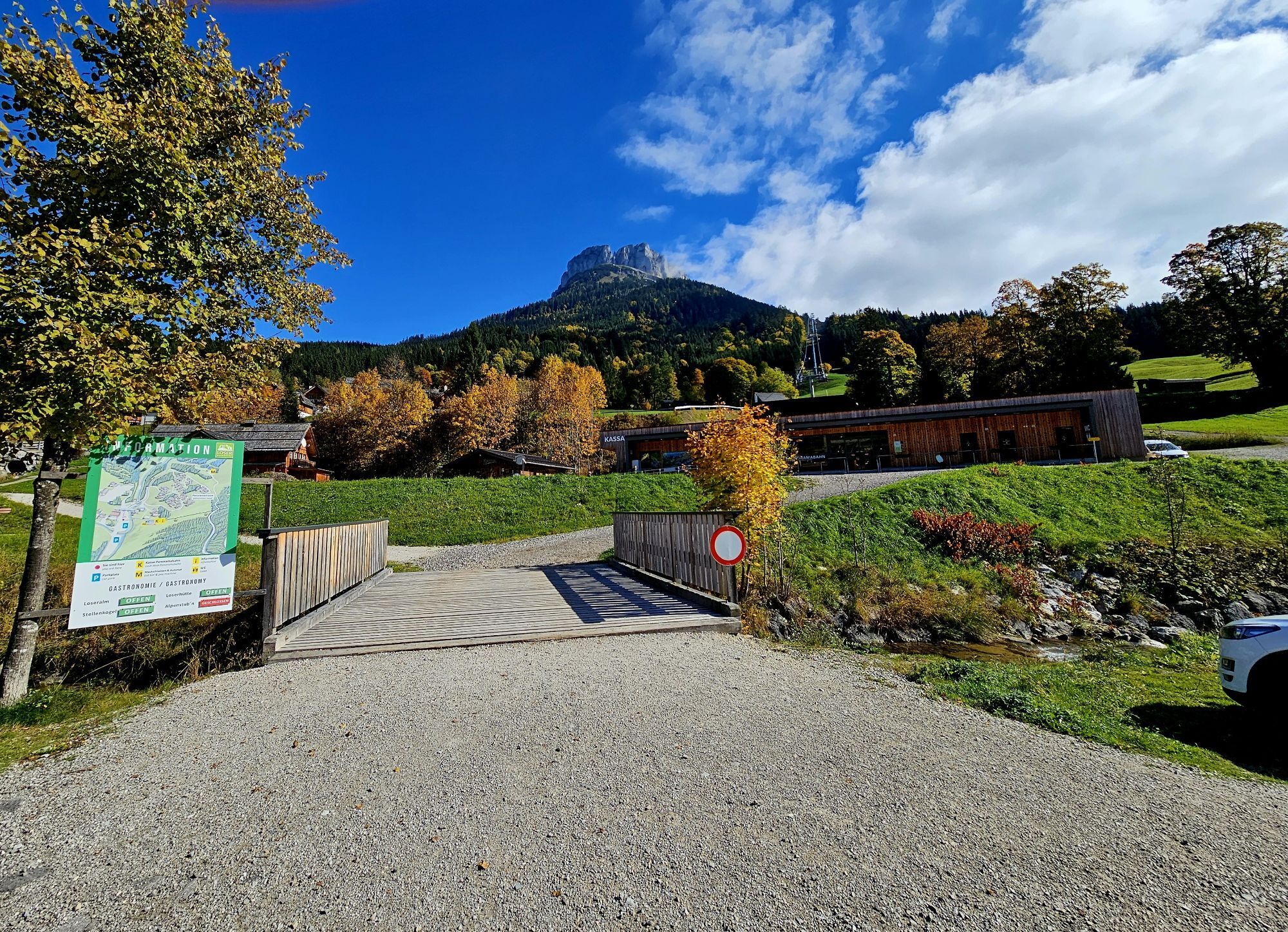
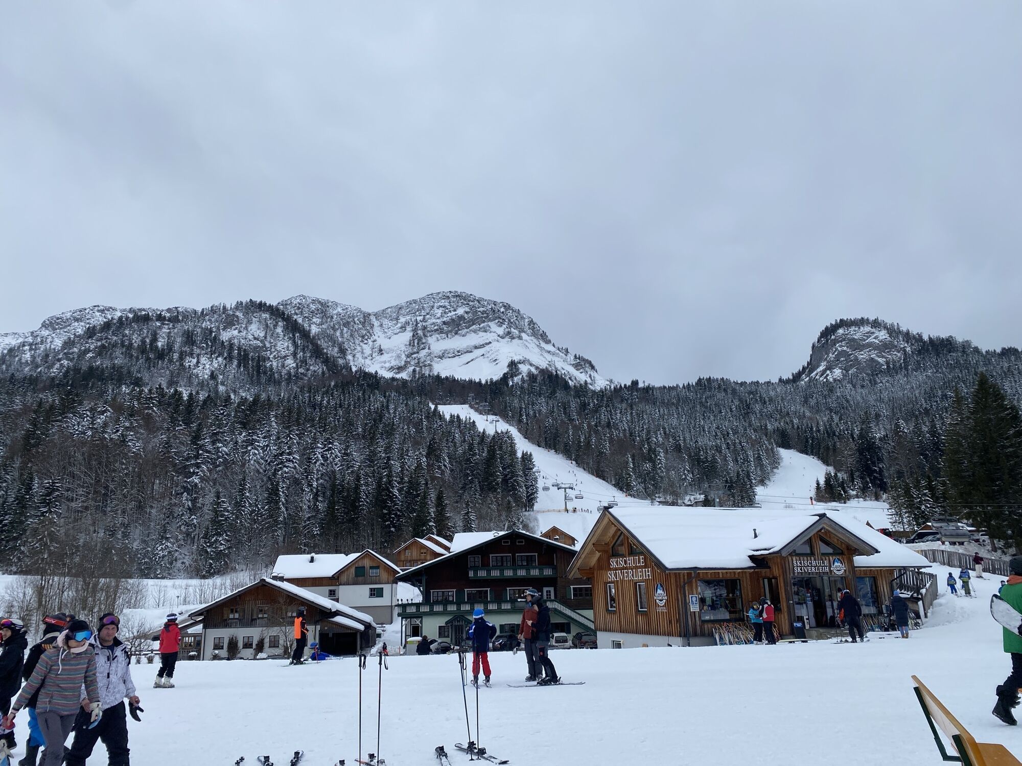
Continue for about 600m on asphalt through the Loser ski area and straight through the gate onto gravel towards Blaa Alm, which we reach after about 1.6km. At the Blaa Alm (km19.5) there is the possibility to recharge the battery.
We cross the barrier after the alm and at the next intersection (km19.8) turn right after about 300m and after another 100m turn left downhill (km19.9).
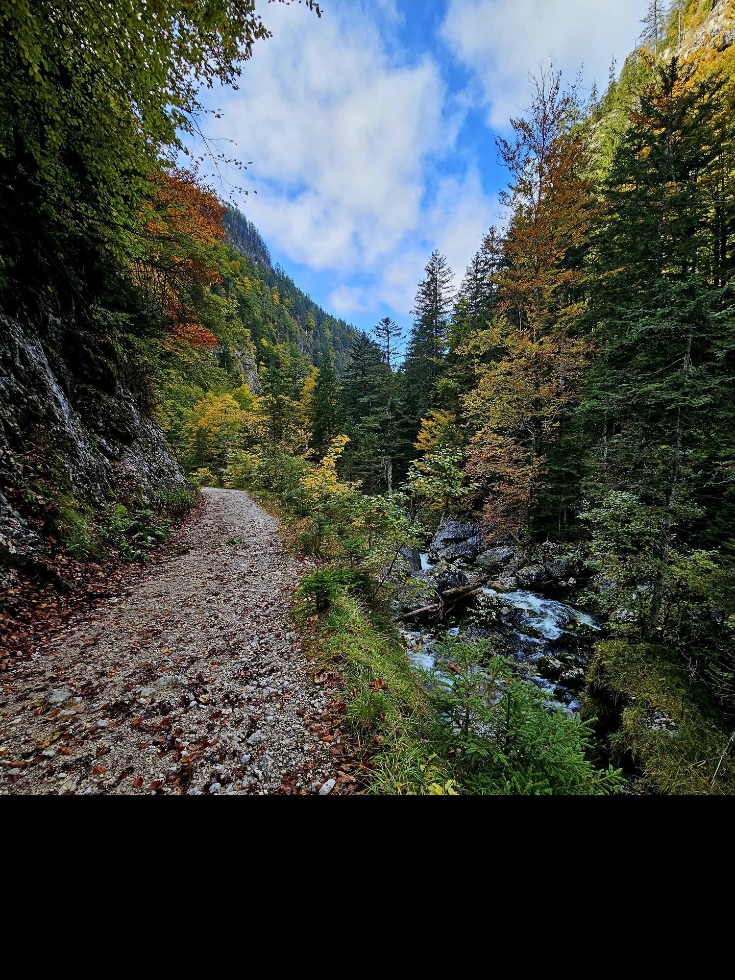
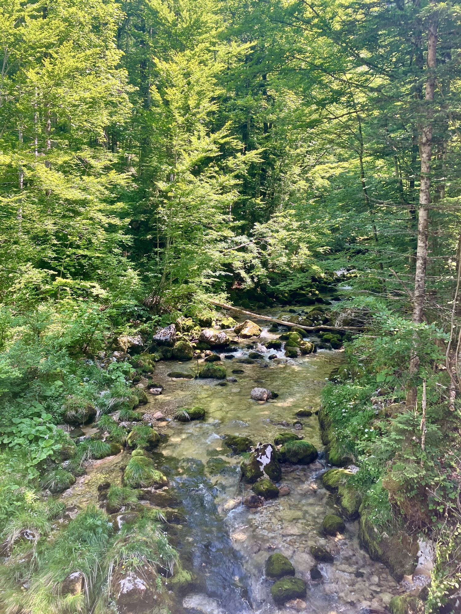
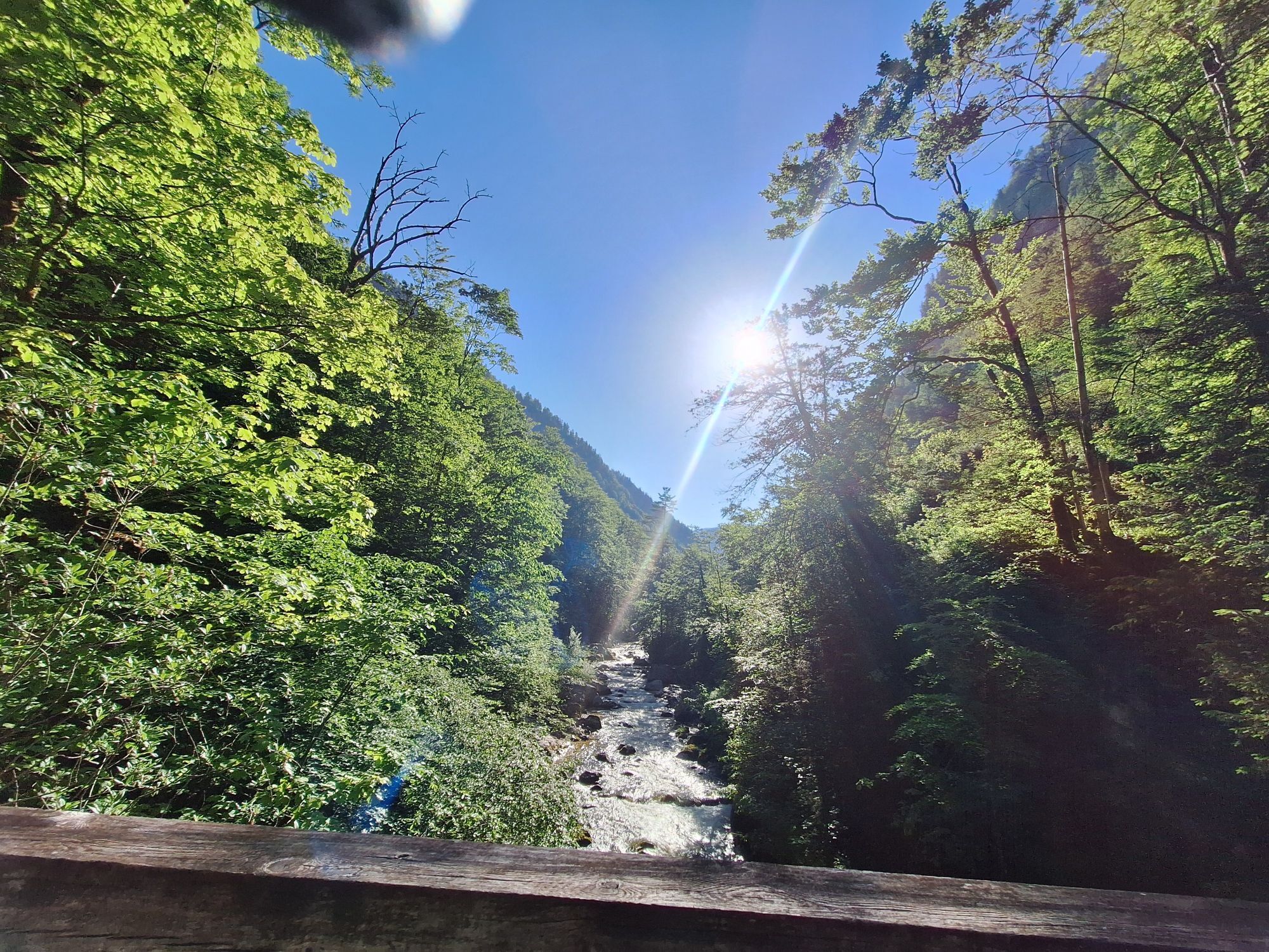
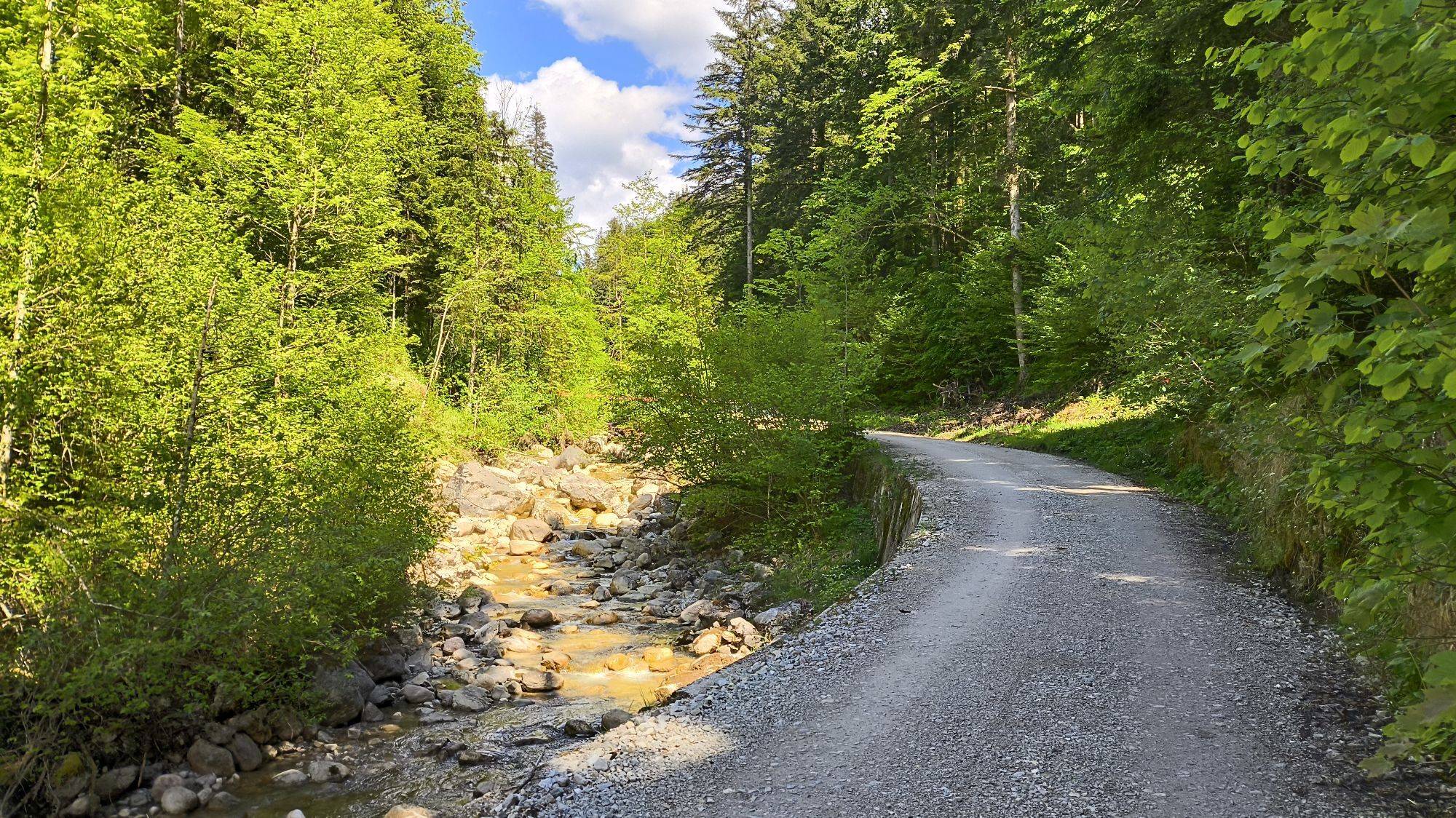
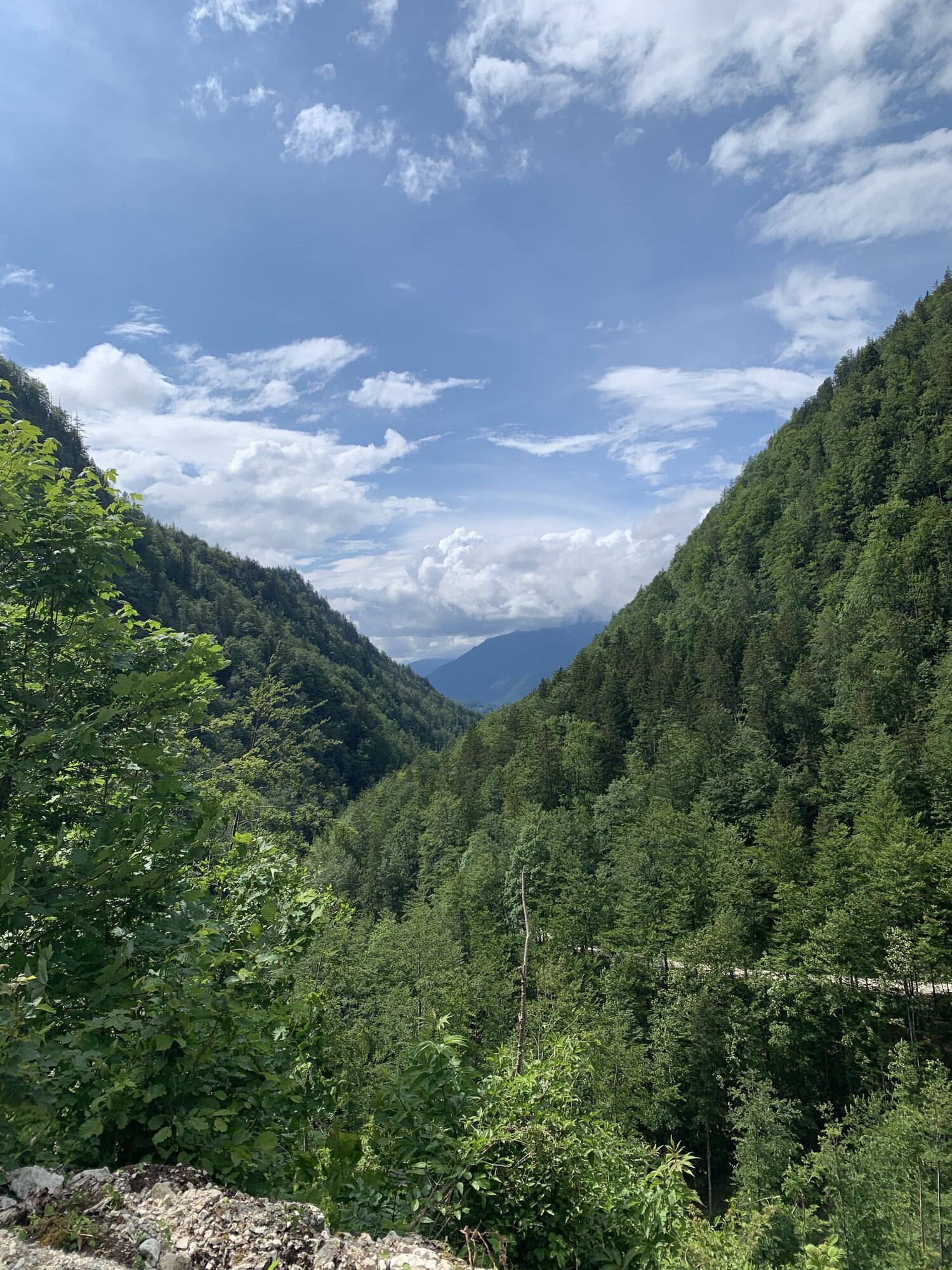
Now comes the ride on the Soleweg for about 3.8km through the Rettenbachklamm which is certainly one of the most beautiful natural routes through the Salzkammergut. The gorge is the shortest connection between Bad Aussee and Bad Ischl.
ATTENTION, there is a short tunnel on the path which is naturally unlit and represents a small handicap but also adds an adventurous character.
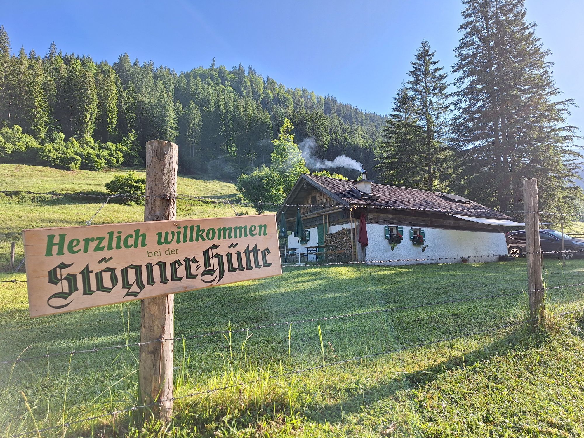
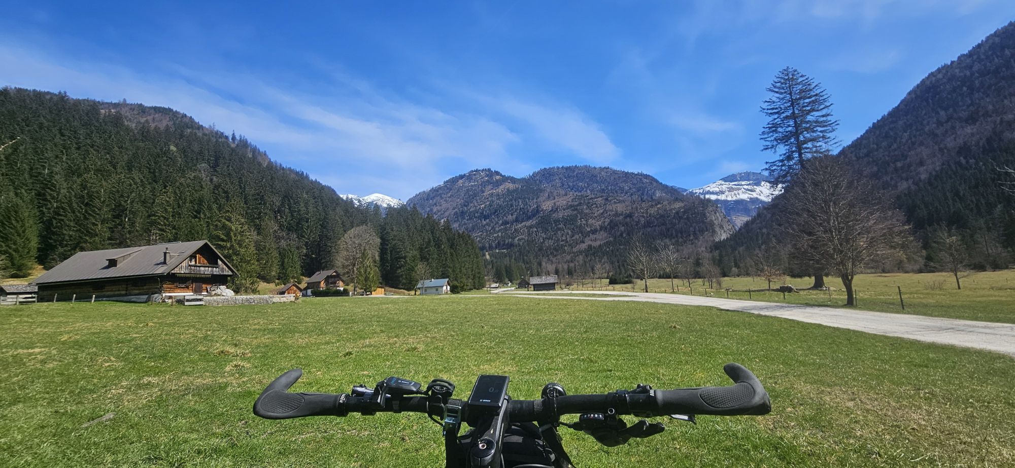
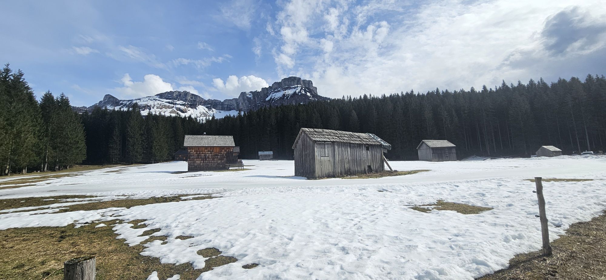
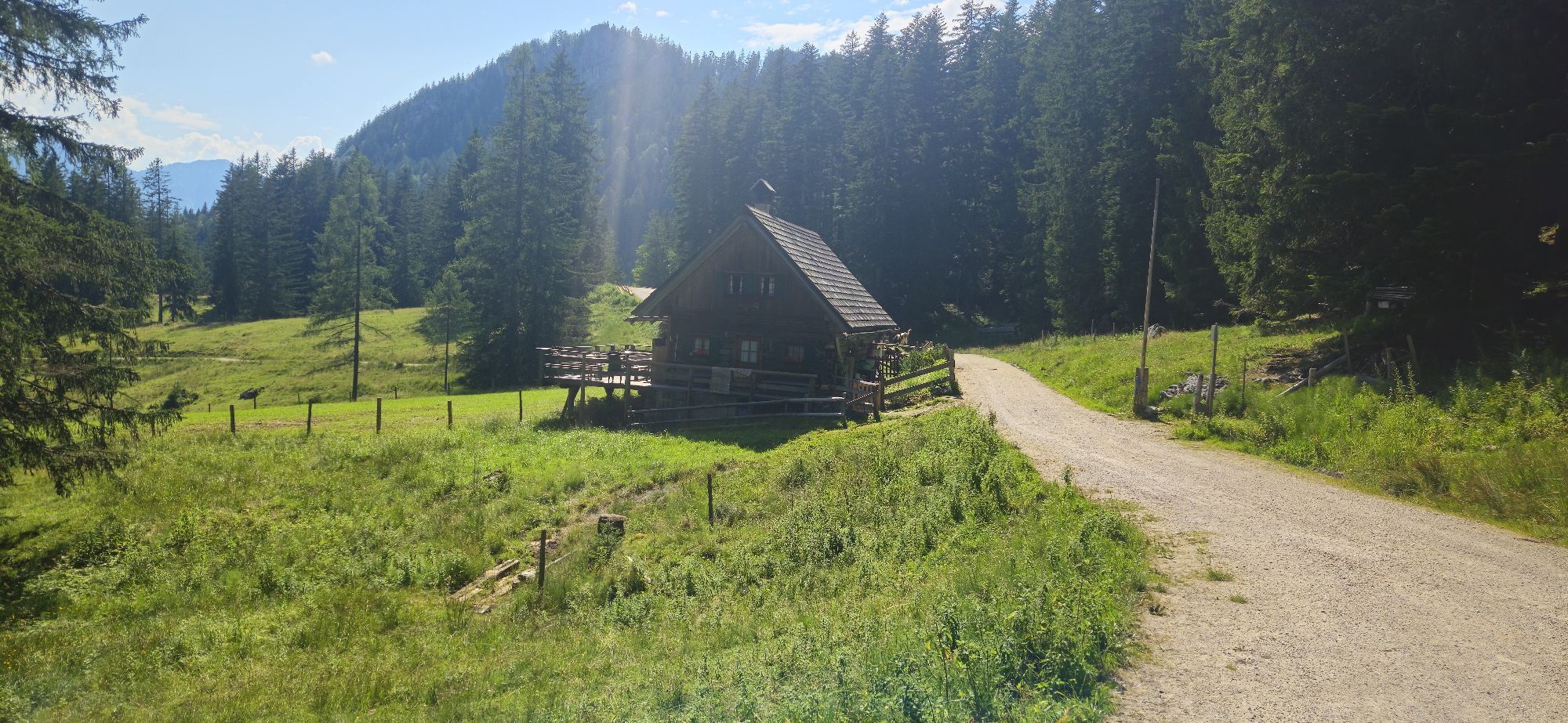
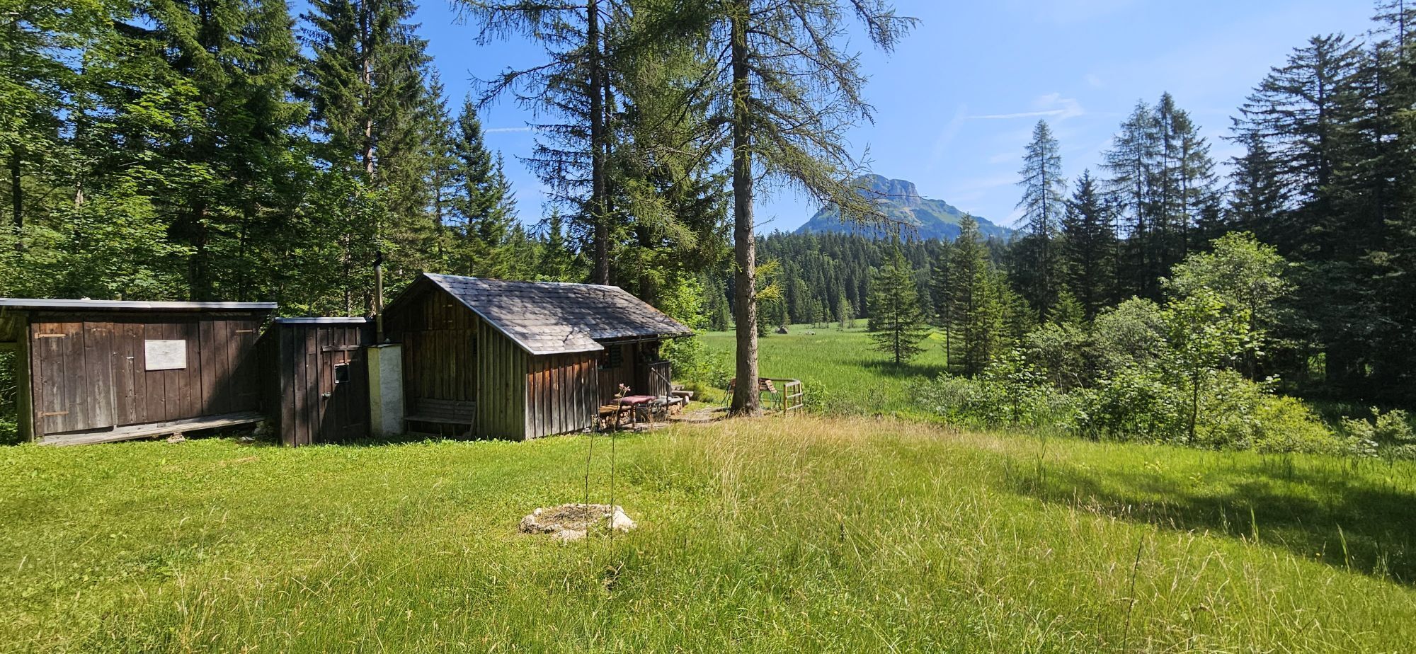
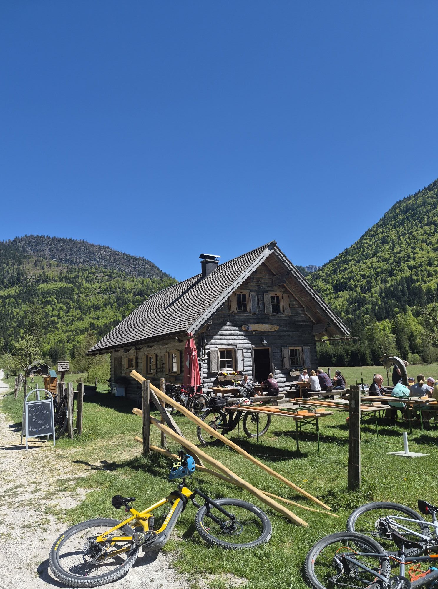
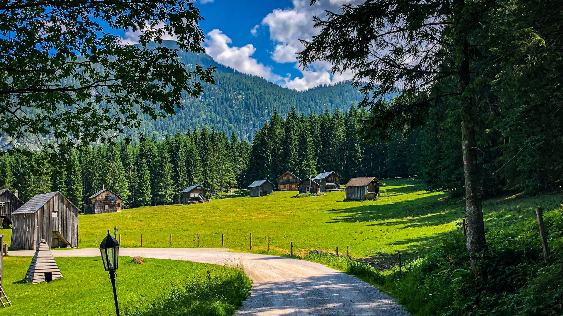
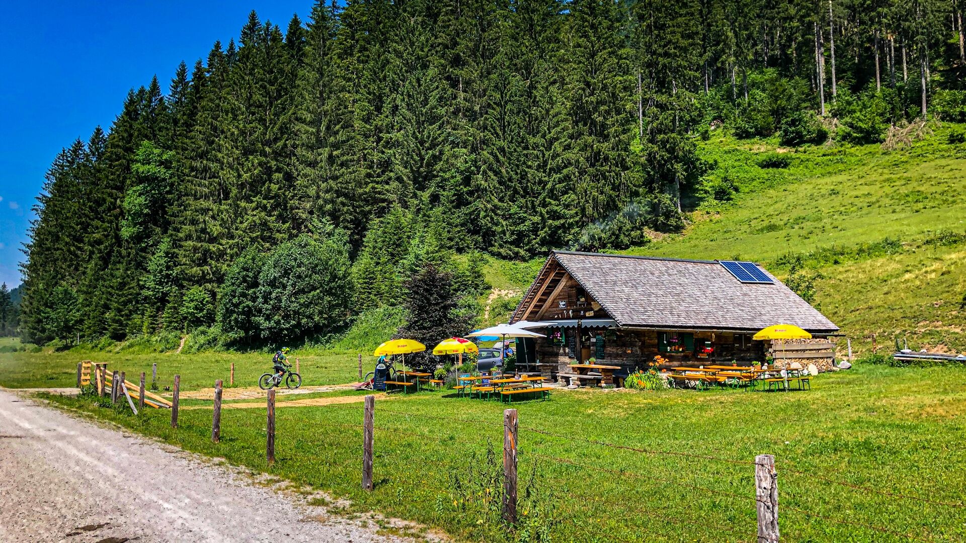
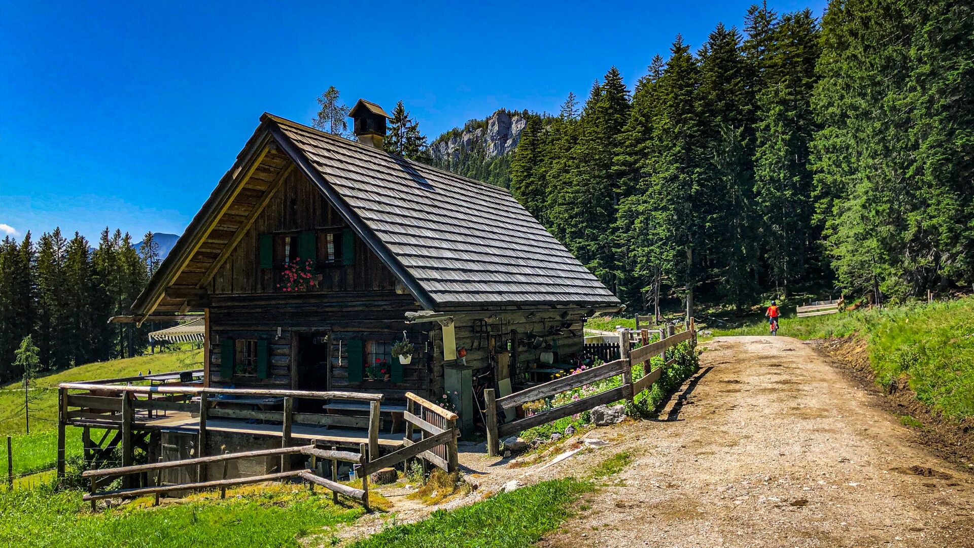
After a left curve just outside the gorge the Rettenbachalm (km23.6) opens up, after about 400m on the right directly at the roadside is the rustic Lippenbauernhütte (km24.0) which is lovingly run by a female mountain biker.
After another 500m on the right side of the path is the Rettenbachalm (km24.5), where sufficient electricity is available and possibly the battery can be recharged. However, secure charging is provided at the Blaa Alm.
We pass the barrier after 200m and it goes gently downhill along the Rettenbach on a gravel road which depending on the weather is also heavily trafficked. Therefore, pay attention to traffic and to the almost invisible turnoff after 2.4km which leads left downhill in a hairpin (km27.1) and crosses the Rettenbach (km27.4) in a right curve after 300m.
As Variant 1, there is the possibility here to continue straight at WP 40703-0009 towards Bad Ischl and then to return to Bad Goisern via the cycle path or, from Bad Ischl, following the Kaiser Runde. This is on one hand culturally interesting, but on the other hand saves kilometers but a lot of elevation gain.
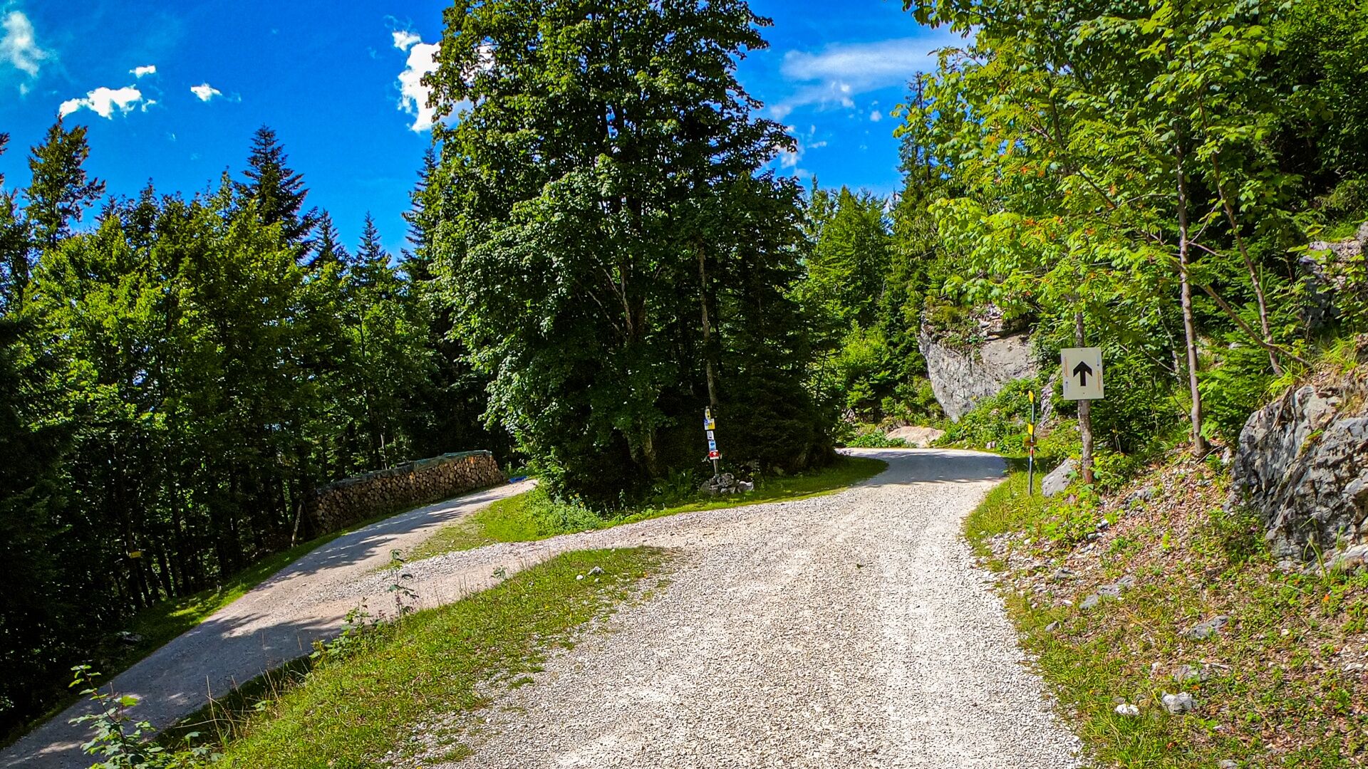
After crossing the Rettenbach at an elevation of 580m it goes steeply uphill 340m on the forest road. Be sure to watch for possible oncoming traffic here. After about 3.8km we stay straight at the intersection on the forest road to pedal further uphill.
There is also the possibility via the Tauern in Variant 2 at waypoint WP 40703-0024 to turn right towards Hütteneckalm or Hoisnrad.
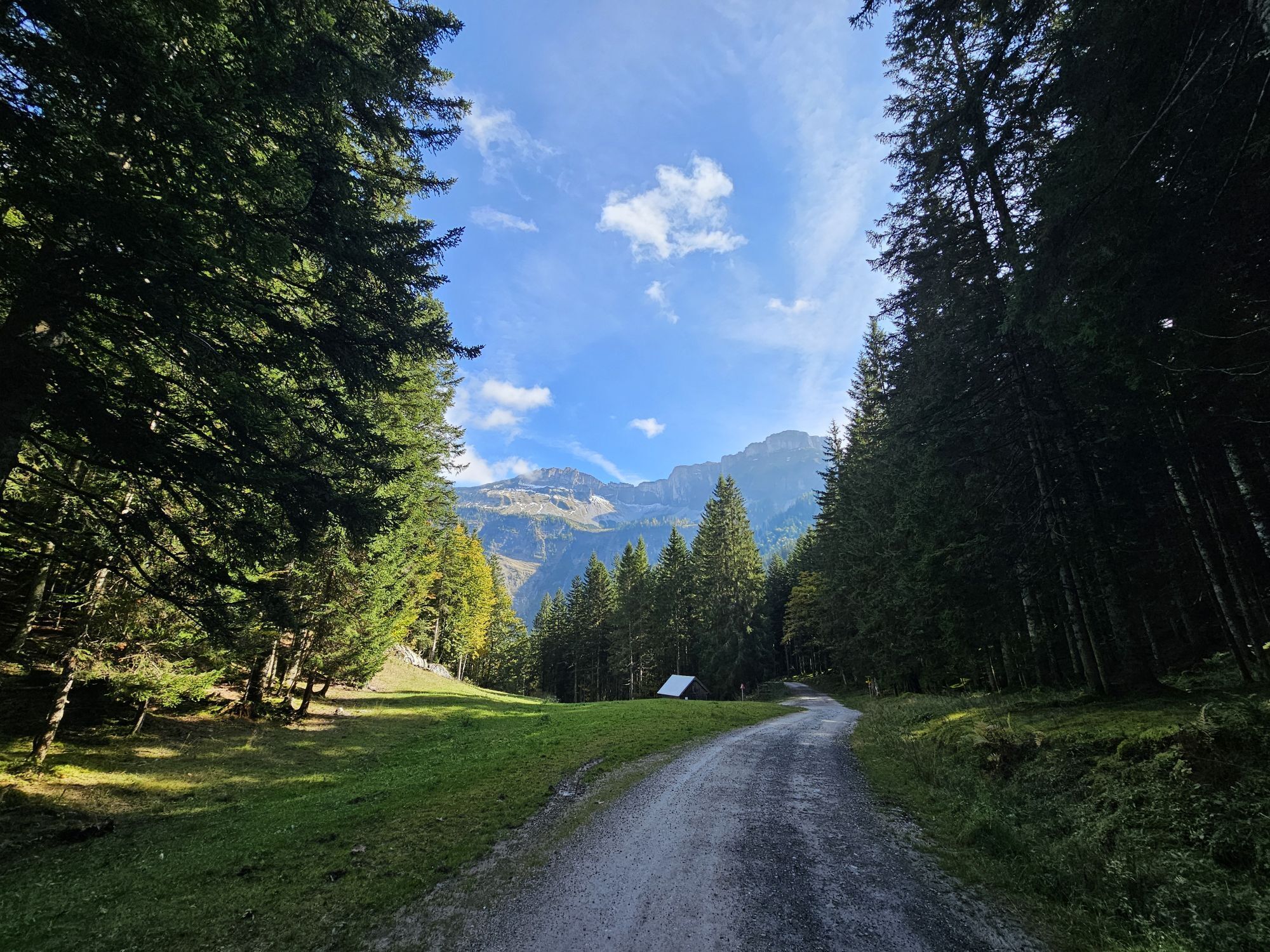
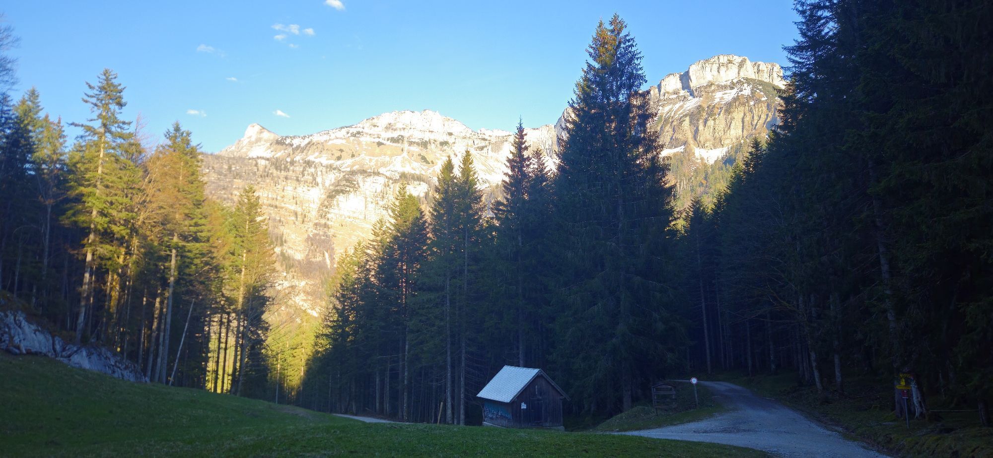
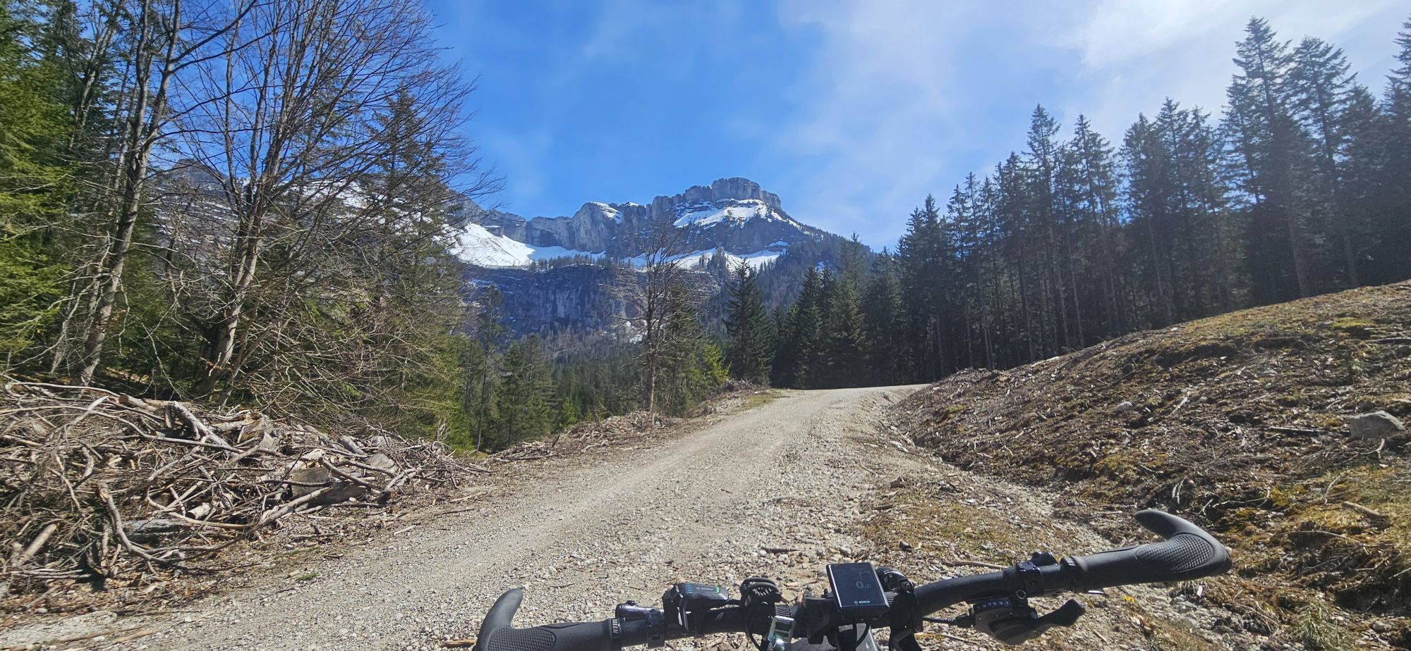
At the next intersection after about 2.2km at an elevation of 1130m we stay straight on the main path and at the next intersection after about 300m continue uphill in a right curve to reach the Sandlingalm (km34.3) after another 600m.
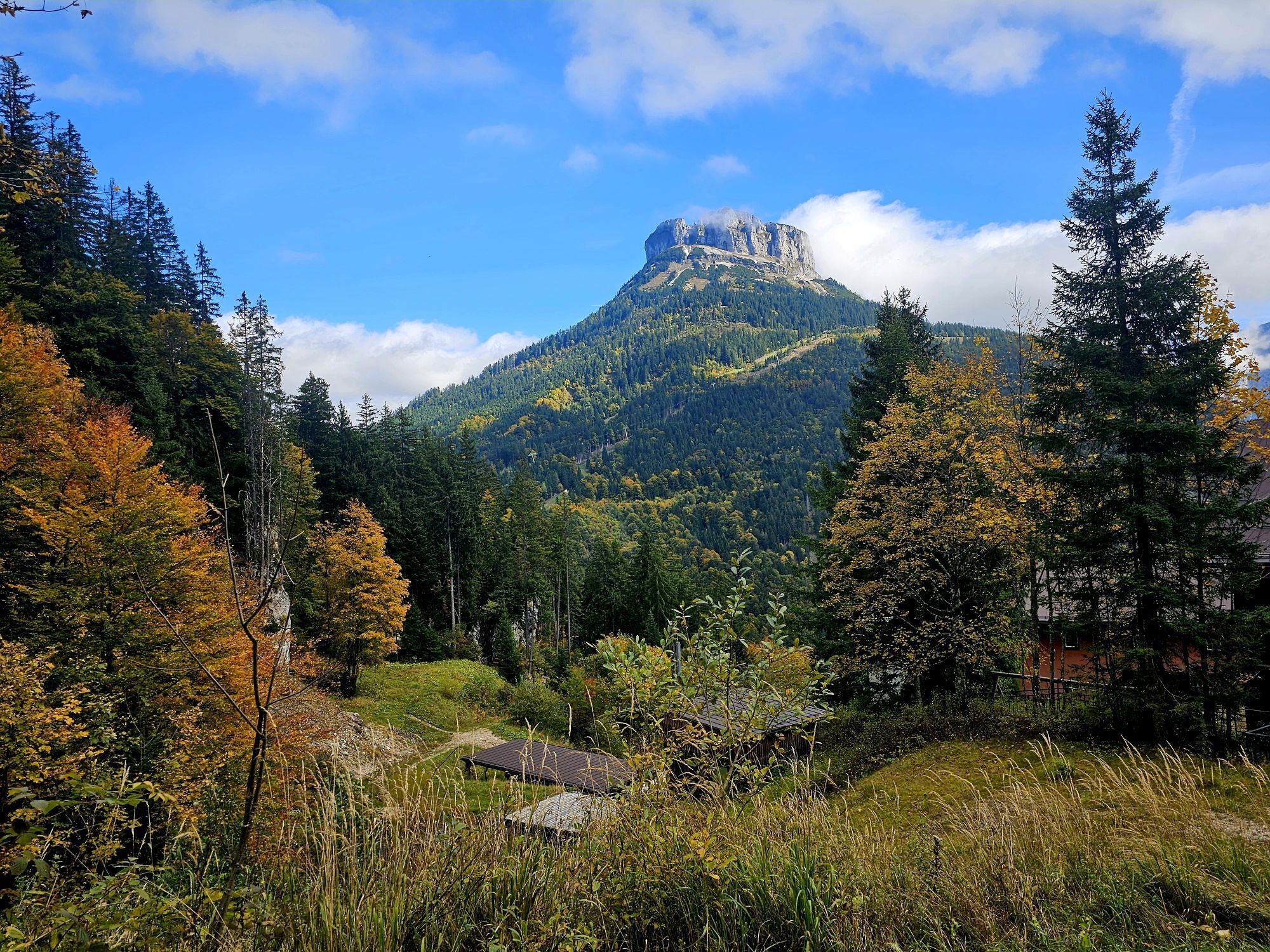
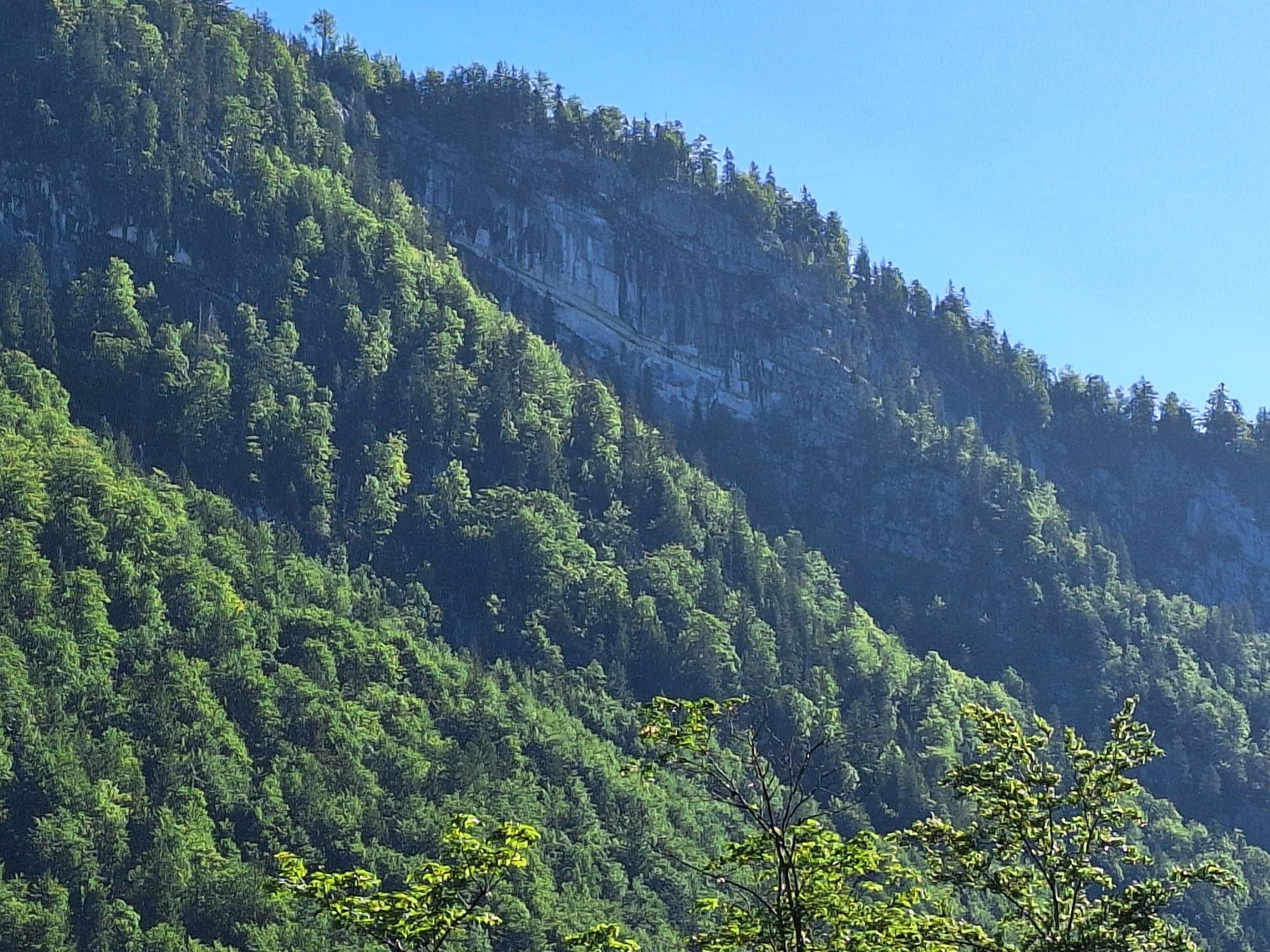
It continues uphill along the mountainside with a wonderful view for about 3.4km to the highest point of today’s route at an elevation of 1383m. Below to the right the Hütteneckalm, further back the Hallstättersee, and soon also the Dachstein Glacier wonderfully visible.
If you still have time and strength, a hiking trail leads left uphill to the summit of Hoher Raschberg at 1488m.
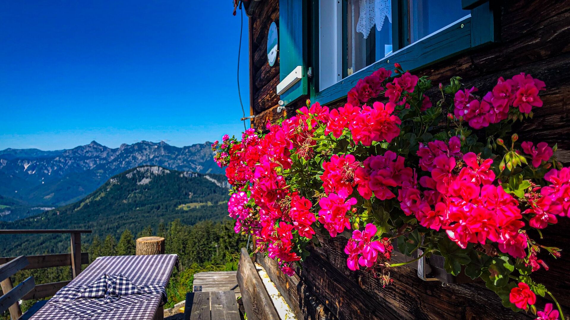
Otherwise, it goes a bit steeper downhill now and after about 800m the Raschberghütte (km38.5) lies above on the left. It’s best to leave the bikes down below and walk up to the hut. Fantastic views and a cozy sunny terrace.
After another 1.7km downhill on the forest road we stay right at a hairpin on the main path and after 700m a barrier (km40.9) blocks the path, which we pass and then turn right uphill after 100m at the Raschberg parking lot.
Here too, instead of turning left uphill, there is the possibility in Variant 3 WP 40702-0098 to either ride down to the Halleralm or to St. Agatha and from there return to the starting point of the route.
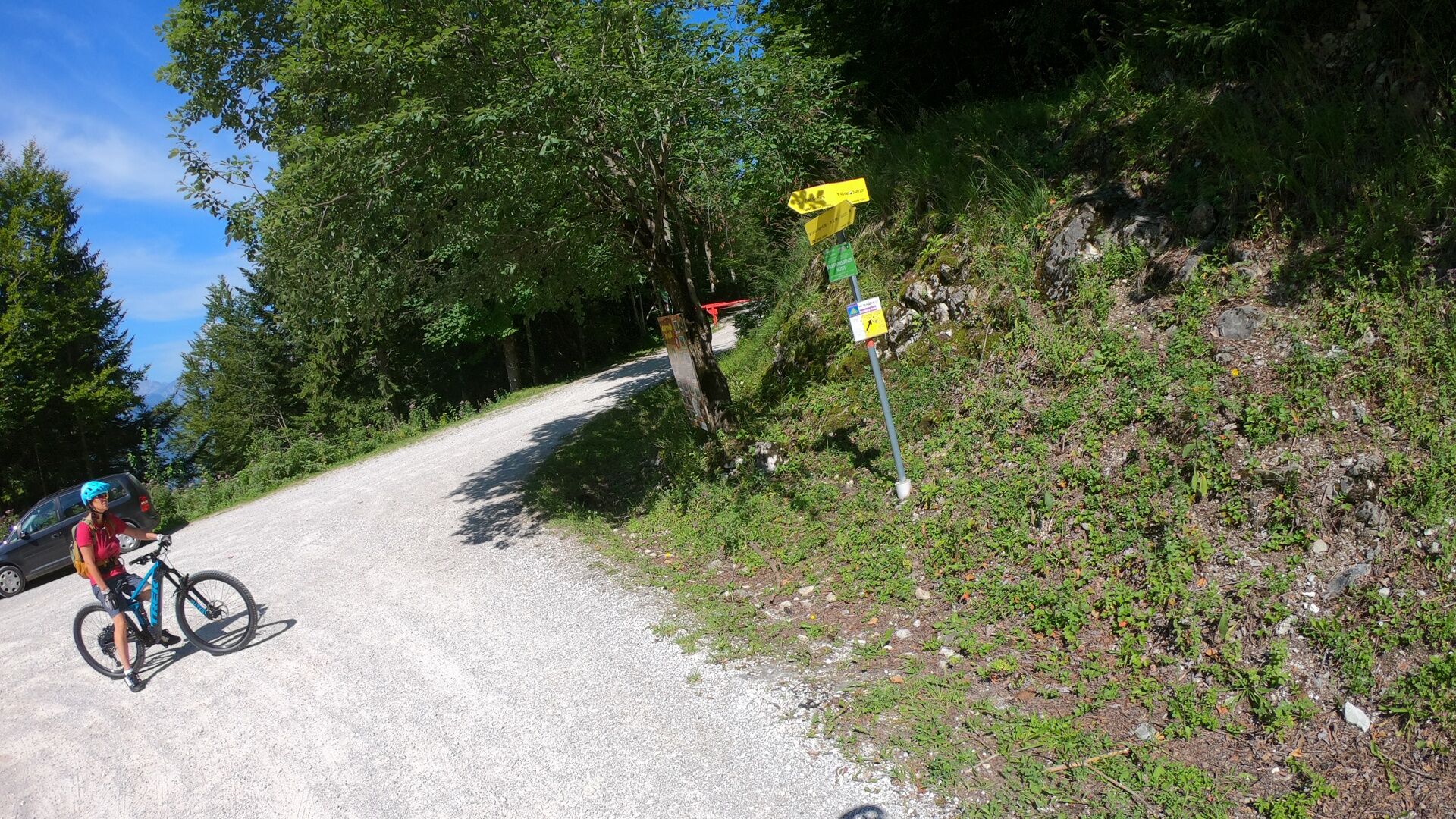
Immediately after the parking lot we pass another barrier and follow the signs for Raschberg Runde S502 for another 800m, this time keeping right to turn left at the fork (km42.2 elevation: 1070m) after about 300m.
Continuing on the Rothmoosstraße on gravel for about 2.8km, then the woods open for the Rossmoosalm (km45.0). We turn left and after 100m keep right.
As on most alms in the area, horses and cows can be expected everywhere. A trail bell with its gentle ringing has one or the other advantage here and charmingly alerts bikers.
After a short descent, it goes up in a left curve to then go back down and after 1.7km past the Rossalm we pass a forest road but stay on the main path for another 100m at the intersection at the Lesehotel (km46.8).
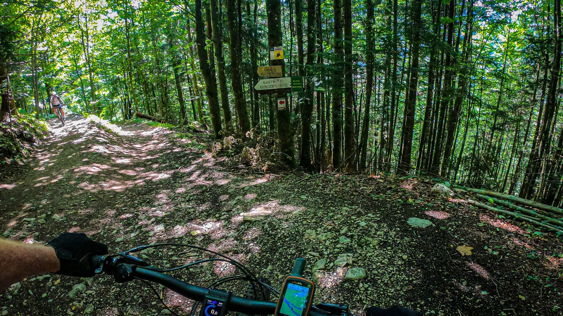
We keep right, pass the barrier, leave the Lesehotel on the left below us, and pedal 300m to the entry to the path to the Ewige Wand (km47.2).
Variant 4: Here the trail that leads towards the Ewige Wand can be bypassed or can be ridden directly from the parking lot Predigstuhl at the Lesehotel back to Bad Goisern at WP 40702-0224.
From here special caution is advised; the path becomes narrower, with roots and occasional stones on the route and both pedestrians and uphill bikers are present.
The route goes rough and steep downhill for around 1.4km with a nice hairpin left downhill. The practiced riding technique training will have paid off here at the latest.
After 300m we join the path (km48.5) to Rathluckenhütte, which we leave after turning right downhill. We ride for around 1.2km on narrow forest paths downhill and reach Posern again (km49.7). We turn left in Posern along the Mühlgrabenbach to then casually roll down on asphalt past the spa park, which we pass on the right side, into the valley.
At the roundabout after about 500m on asphalt, we take the 3rd exit downhill and after 100m cross the B145 to the left to then leave the federal road after the bike shop Moana Loa turning right downhill onto a side road through the village, reaching our starting point after about 1.3km.
Bad weather or fitness variants:
Intersection WP 40703-0009 Rettenbachtal, km27.4 elevation: 580m, distance 4km to Bad Ischl Intersection WP 40703-0024 Sandlingalm, km31.2 elevation: 920m, distance 4.2km to Hütteneck (elevation: 1240m) then down to St. Agatha Intersection WP 40702-0098 Raschberg parking lot km41.0 elevation 1030m, exit St. Agatha or Halleralm downhill on asphalt Intersection WP 40702-0224 Predigstuhl, km46.8 elevation: 980m, exit Bad Goisern downhill on asphaltThe wine red mountain bike signage is clearly geographically located. Each waypoint has a unique number e.g. 40702-0002 printed on the bottom logo line. If you ever have difficulties, you can give this number to the Tourism Association Inner Salzkammergut and we will know where you are.
Da
Please note that any (E)MTB route must always be tackled with faultless equipment. Below are some tips for preparation and equipment.
More about this:
The Raschberg Runde is a circular route marked with the number S502. Routes with 500-series numbers have a maximum length of 70km. The stated travel times are net times riding an E-MTB without breaks such as photo stops or refreshment stops.
The wine-red mountain bike signage is clearly geographically positioned. Each waypoint has a unique number printed in the bottom logo line. If you have trouble, you can pass this number to the Bad Goisern Tourism Association and we’ll know where you are. The QR code in the logo line leads you to a landing page with all the information needed for a perfect tour day.
Special caution at crossings of the federal roads B166 in Steeg and B145 in St. Agatha and in Bad Goisern.
To make your day perfect, here are some tips worth noting before each tour. Also be aware that you are moving in the mountains and thus personal responsibility plays a big role. This includes choosing the route, the expected weather, and some mobile signal dead spots where you will have no cellular reception.
Coming from Bad Ischl, best to start at the stop (P&R) Jodschwefelbad. Coming from Gosau or Altaussee, best to start in Bad Goisern at the town hall. Parking spaces are particularly scarce on weekends.
By train to Bad Goisern, Jodschwefelbad or Steeg.
Jodschwefelbad: Jodschwefelbad stop on the B145, MJ55+CJ Bad Goisern am Hallstättersee, Bundesstraße 34, 4822 Bad Goisern am Hallstättersee
Parking Bad Goisern Mitte: JJR9+X5 Bad Goisern am Hallstättersee
Parking Bad Goisern: Stockhalle Bad Goisern Perdanner Promenade 10 (Stampfl), 47.63887457844231, 13.615310700142993
S2
In Bad Goisern all mountain bike routes start at the ÖAMTC service point on Bahnhofstrasse near the town hall. The routes are signposted and numbered. All routes are also signed from Bad Goisern train station.
We appreciate comments, tips, constructive criticism and naturally thousands of photos of your ride with the hashtag #dachsteinsalzkammergut in your social media posts.
As new players on the field of mountain and leisure sports, we E-MTB riders have a special responsibility to behave appropriately.
In Graubünden, bikers and hikers share the paths. A project that could serve as a model. But that only works with mutual respect. Bad behavior sets us back years.
With shared rules of conduct, we ensure that the forest will continue to offer a unique recreational and living space as well as a workplace for everyone in the future.
Information on biking in the forest from the Federal Ministry of Agriculture, Regions and Tourism.
The cream cake at the Blaa Alm with a short charging stop. The Lippenbauernhittnkas, the sunburned cyclist at the Raschberghütte.
Spletne kamere s turneje
Priljubljeni izleti v okolici
- 4,3
Altaussee: Seeumrundung
Gorski pohodništvo 7,58 km - 4,5
Loser: Loserfenster und Losergipfel
srednjaPohodništvo 2,48 km - 3,8
Ostuferwanderweg
svetlobaPohodništvo 16,2 km - 4,5
Hike to the Hütteneckalm
svetlobaPohodništvo 8,70 km - 4,8
Loserrunde über Augstsee, Loserfenster, Losergipfel und Loserhütte
srednjaPohodništvo 4,69 km - 4,7
Hütteneck ski & snowshoe tour
srednjaSnežni čevlji 3,88 km - 4,9
„Hoher Sarstein 1975m“ - Hallstätter Genusstour - Hallstatt - Obertraun - Bad Ischl
težkoPohodništvo 23,2 km - 4,7
Katrin
srednjaPohodništvo 2,95 km - 4,7
Katrin
svetlobaPohodništvo 4,21 km - 4,6
Hoher Sarstein
srednjaPohodništvo 13,4 km
Pohodništvo in sledenje


Ne zamudite ponudb in navdiha za naslednje počitnice
Vaš e-poštni naslov je bil dodan na poštni seznam.