







The Chapel Path (Mountain Bike Route No. 9)

Stopnja težavnosti: S4
This route extends route 8 and is shortened from route 10. A flowing route on forest tracks, alternating climbs and descents without too many breaks, ideal for a short but rhythmic outing.
Located 5 km...
This route extends route 8 and is shortened from route 10. A flowing route on forest tracks, alternating climbs and descents without too many breaks, ideal for a short but rhythmic outing.
Located 5 km from Meymac, Mont-Bessou is the highest peak of the hills in the Millevaches Regional Natural Park in Limousin (976 m altitude).
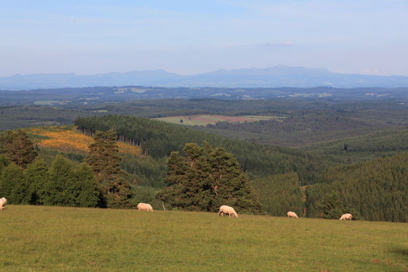
The symbolic altitude of 1000 m can be reached at the top of the panoramic tower built on top of Mont-Bessou, offering a unique viewpoint over the Monts du Cantal and Auvergne.
Highlight: from the last third of the route (starting from the dry stone wall in the undergrowth), the path will reveal its most beautiful winding passages through the forest.


Follow the red MTB markings
Da
Mountain biking as we want! but…
Check the condition of your mountain bike and plan supplies and repair accessories Wearing a helmet is strongly recommended Respect private properties and crop areas Beware of agricultural and forestry machinery Close gates after passing Avoid wild picking of flowers, fruits, and mushrooms Do not disturb the peace of wild animals Take your trash with you, be discreet and respectful of the environmentPlease respect traffic rules.
S4
Haute-Corrèze Tourist Office - Meymac Bureau
1 Place de L Hôtel de ville,
19250 Meymac
Mountain bike rental point: all year round at the Château de la Diège, in summer at Sèchemailles
Priljubljeni izleti v okolici
GR® 440 "Grand tour de la montagne Limousine"
težkoPohodništvo 194.3 kmTo the top of Limousin
težkoPohodništvo 20.3 kmRoute No. 39 Haute-Corrèze MTB Area: The Cars site
težkoMountainbike 46.5 kmLeisure bike route: in the heart of the Millevaches plateau
svetlobaKolesarjenje 12.2 kmThe Devil's Rock (MTB Route no. 3)
srednjaMountainbike 8.98 kmLeisure bike route The Cars Ruins
svetlobaKolesarjenje 19.2 kmFrom the Cars Site to the Longeyroux Peat Bog
srednjaPohodništvo 16.1 kmLa Ganette - Église Saint-Georges - Église Saint-Pierre - L'Établissement
srednjaPohodništvo 87.2 kmUssel - Église Saint-Martin - Brasserie Du Lac
svetlobaPohodništvo 10.0 kmMeymac - Mont Bessou
svetlobaPohodništvo 2.05 km
Pohodništvo in sledenje


Ne zamudite ponudb in navdiha za naslednje počitnice
Vaš e-poštni naslov je bil dodan na poštni seznam.





