







Keilerweg (De 7)


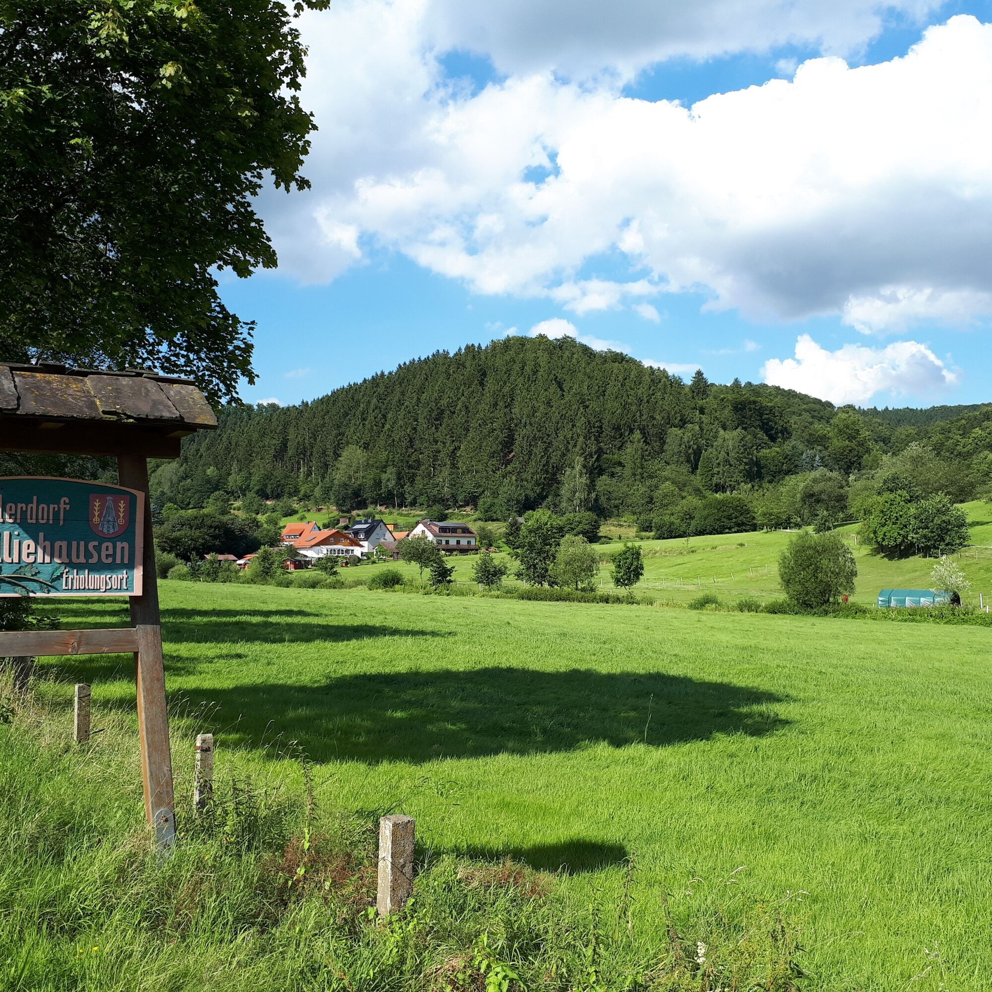

From the guesthouse Köhlerhof, we go north along Grimmerfelder Straße. On the outskirts of the village, on the right side, is the Teske company building. The Teske company operates two sand pits and is responsible for loading bulk goods and distributes various types of sand.
Behind this area, we turn right into Lindenallee. We cross the Rehbach. On the right side, we pass the war memorial.
At the fork in the path, we follow the forest path uphill to the right for about 500 m to the crossroads. From here, we go north on the winding path about 3 km through the Hardegser Köpfe to the Wiesental Kuckuck and further to the Kuckucksquelle spring.
From here, we continue about 500 m further to the district road K 431 and turn right.
We follow this road past the transmission tower and reach Rütherstraße (about 600 m), into which we turn right. We walk along Waldstraße through extensive forests southward. After about 3 km, we turn right heading west to Delliehausen.
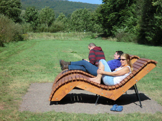
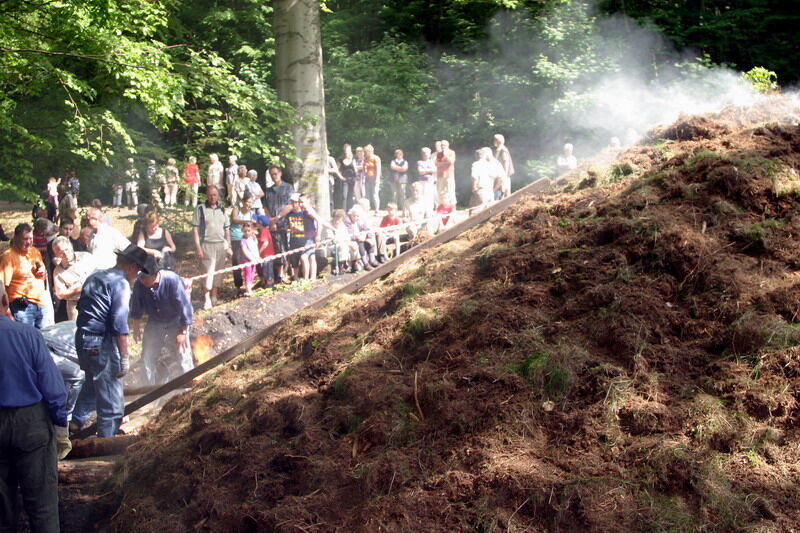
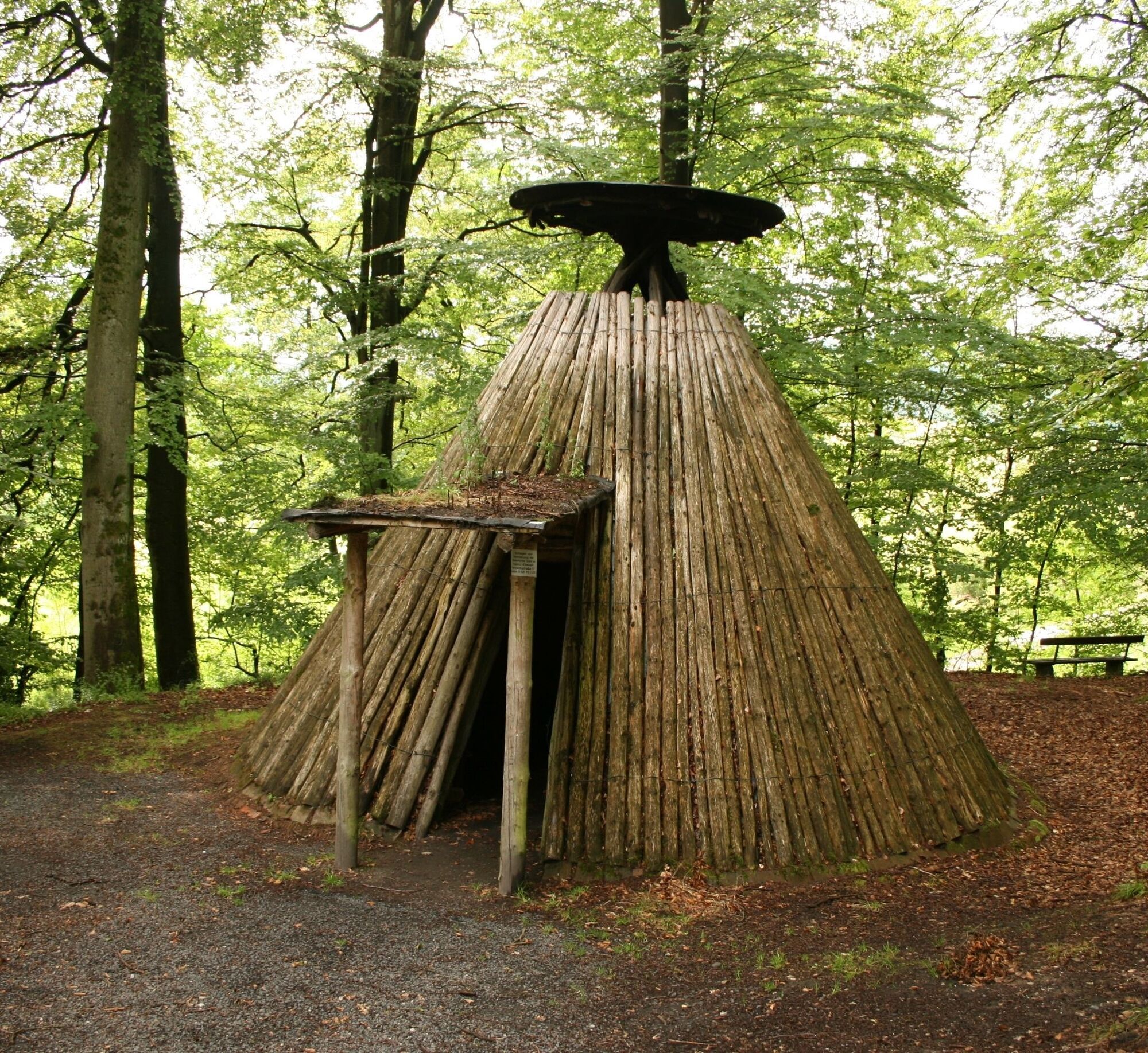
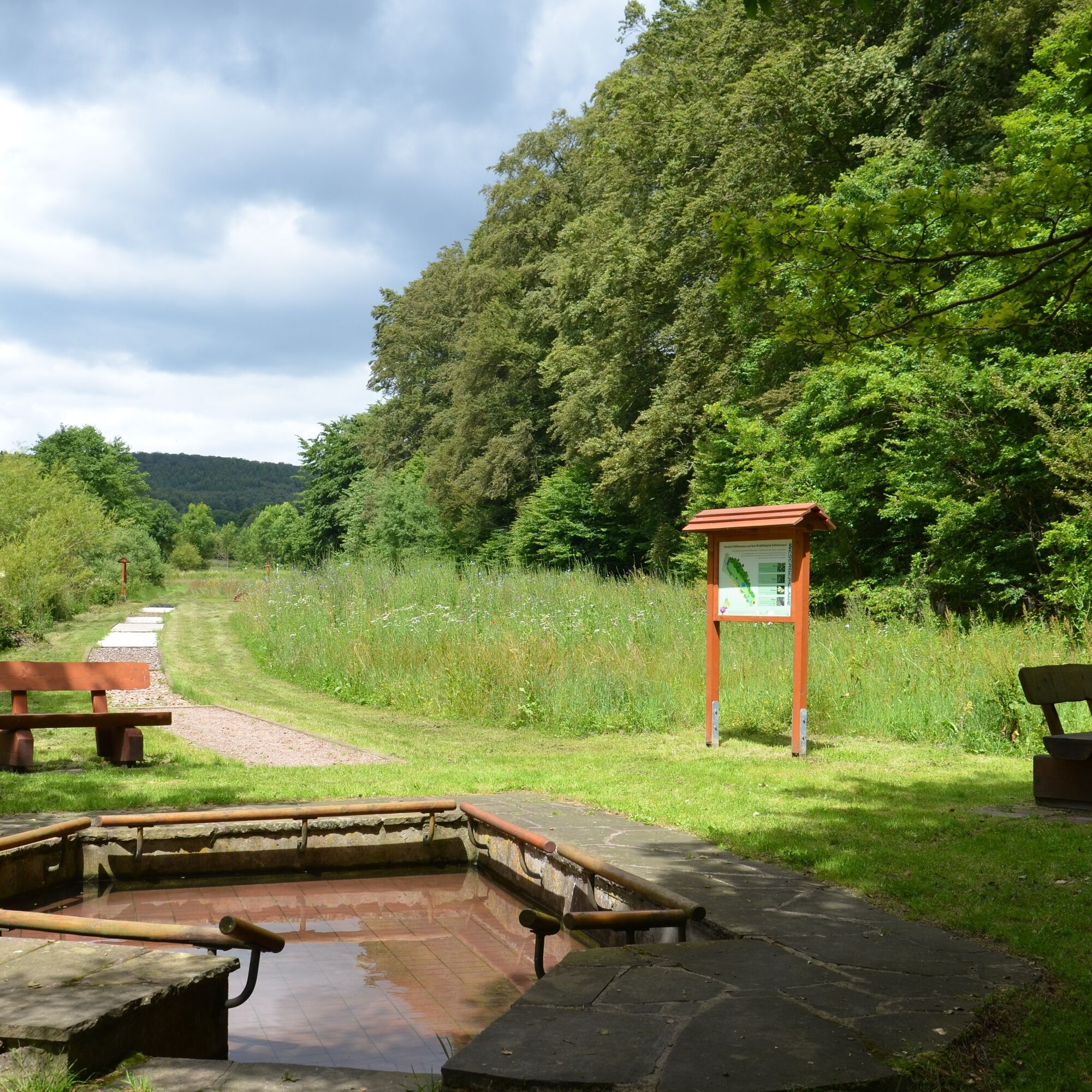
The winding path with numerous viewpoints leads downhill to the war memorial and back to the starting point. A detour at the war memorial to Köhlerhütte, the charcoal kiln, and the Delliehausen wellness trail (500 meters) to the north is recommended.
A7 to Nörten-Hardenberg, via B 446 and B 241 to Delliehausen.
By train to Uslar, then continue by bus line 212 to Delliehausen, Volpriehäuser Str.
Parking lot at Köhlerhof, Grimmerfelderstr. 1.
Solling-Vogler-Region in the Weserbergland e. V.
Tourism center
Lindenstraße 8
37603 Holzminden/ Neuhaus
Tel.: 05536 960970
info@solling-vogler-region.de
www.solling-vogler-region.de
Priljubljeni izleti v okolici
- 5.0
Lunauborn (Schö 1)
srednjaPohodništvo 9.27 km Lebensraumroute - Neuer Teich und Lakenteich (LRR 9)
Tematska pot 6.28 kmRoute 16: Solling-Vogler-Region
Mountainbike 164.9 kmLebensraumroute - Der Eichenwald im Solling große Runde (LRR 3)
Tematska pot 4.72 kmSüdniedersächsische 5-Burgen-Tour
srednjaKolesarjenje 58.1 kmJugendwanderweg - Solling-Erlebnistour (JW)
Tematska pot 16.0 kmWaldläufer (De 6 + LRR)
srednjaPohodništvo 9.04 kmPolderrunde
srednjaKolesarjenje 30.5 kmRundwanderung auf dem Höhenzug Ahlsburg - Burg Grubenhagen
srednjaKolesarjenje 7.71 kmLebensraumroute - Der Eichenwald im Solling kleine Runde
Tematska pot 3.66 km

Pohodništvo in sledenje


Ne zamudite ponudb in navdiha za naslednje počitnice
Vaš e-poštni naslov je bil dodan na poštni seznam.





