







Route 16: Solling-Vogler-Region
Use of the trails
"Dear MTB riders – please note that the route shown here is currently being revised. The markings are no longer fully continuous. You partly ride on private land. Please therefore observe...
Use of the trails
"Dear MTB riders – please note that the route shown here is currently being revised. The markings are no longer fully continuous. You partly ride on private land. Please therefore observe the instructions of the landowners. Please behave according to the Trail Rules of DIMB – enjoy your time in the Wild Homeland."

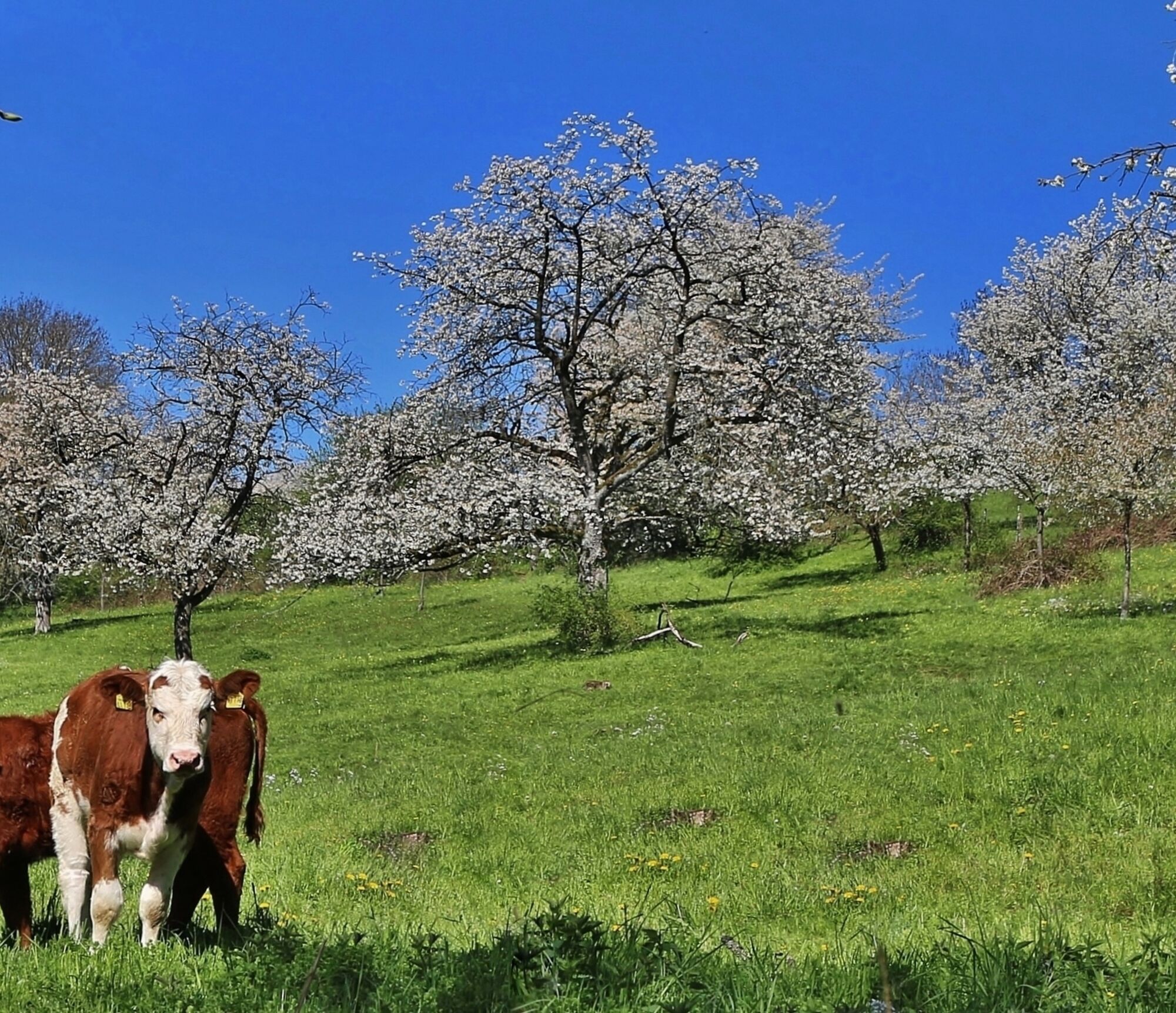
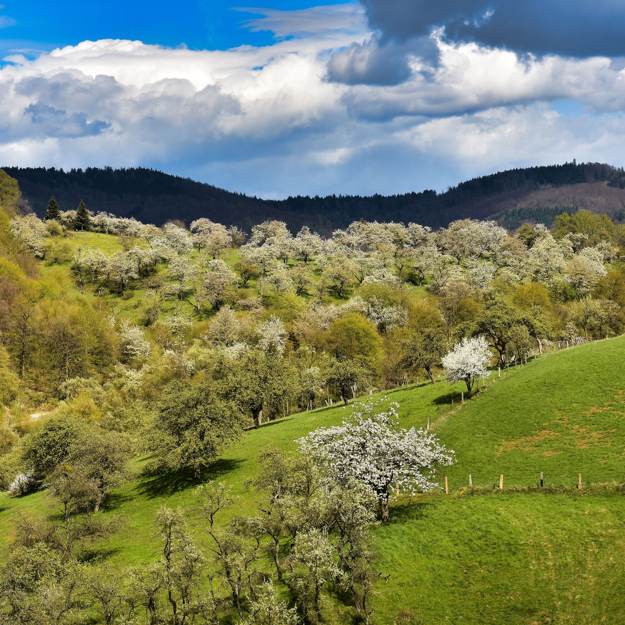
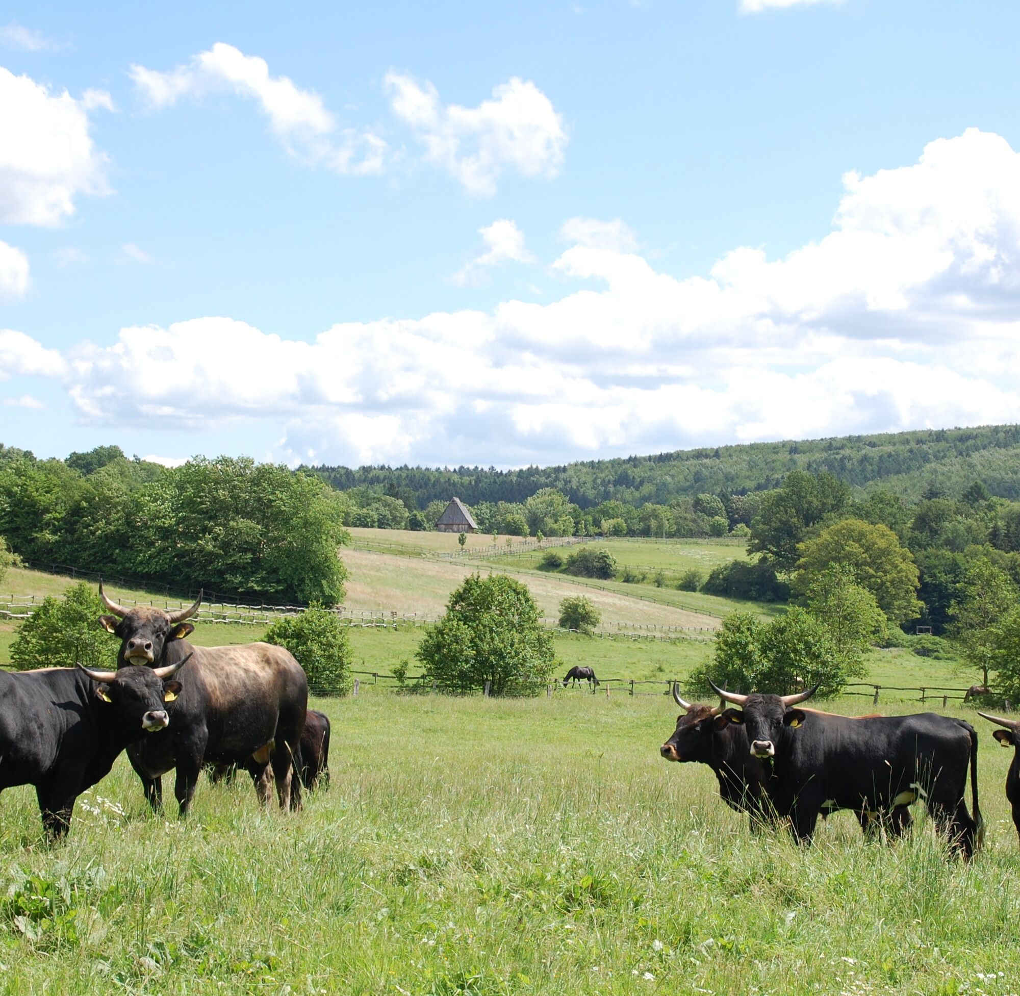
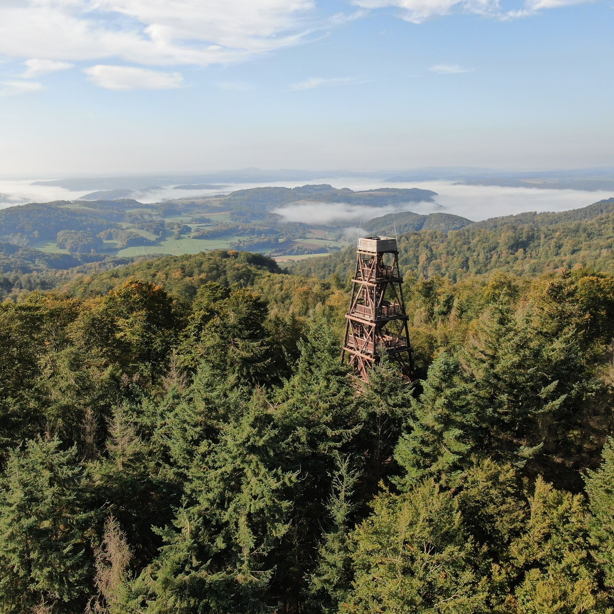

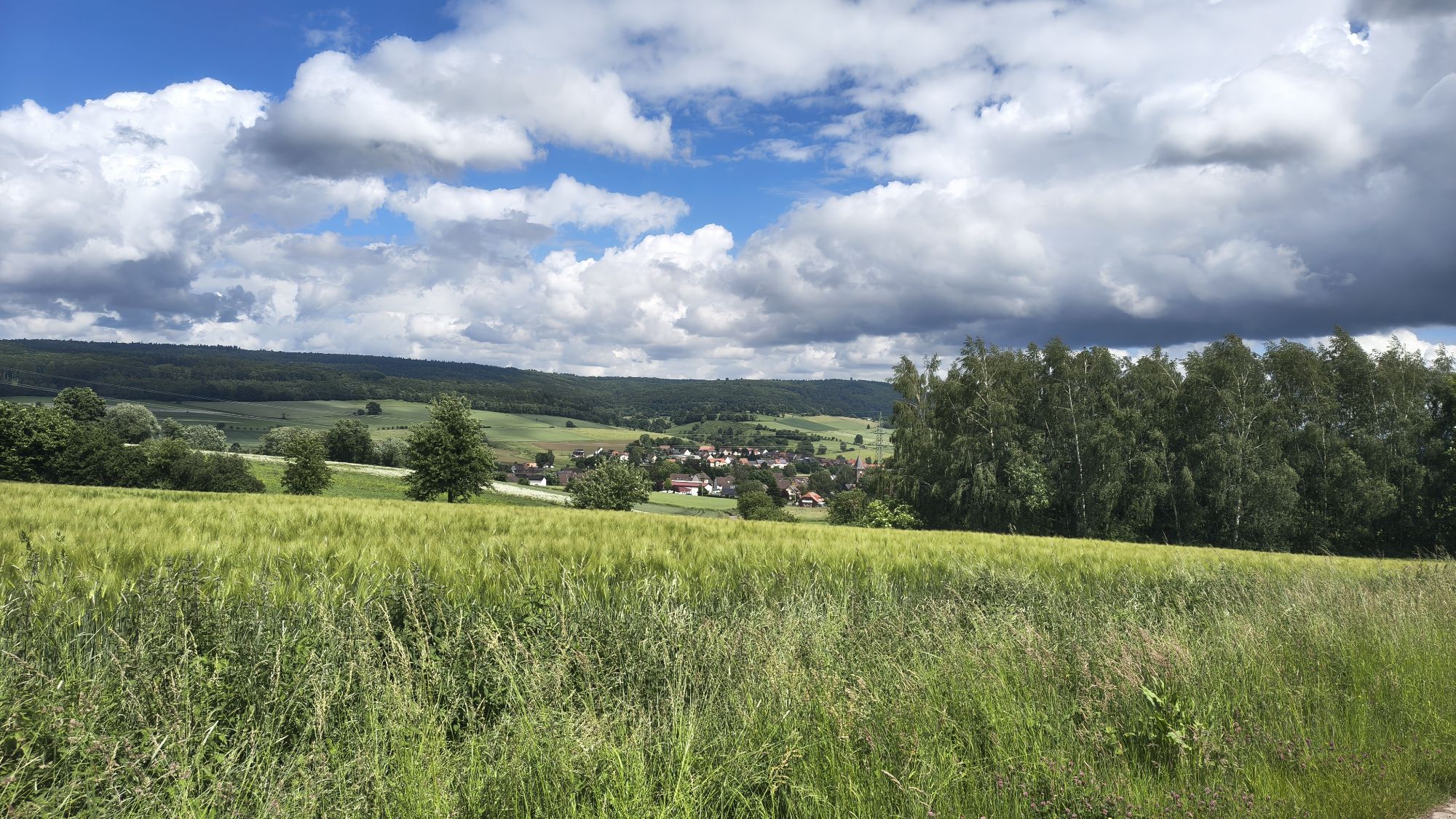
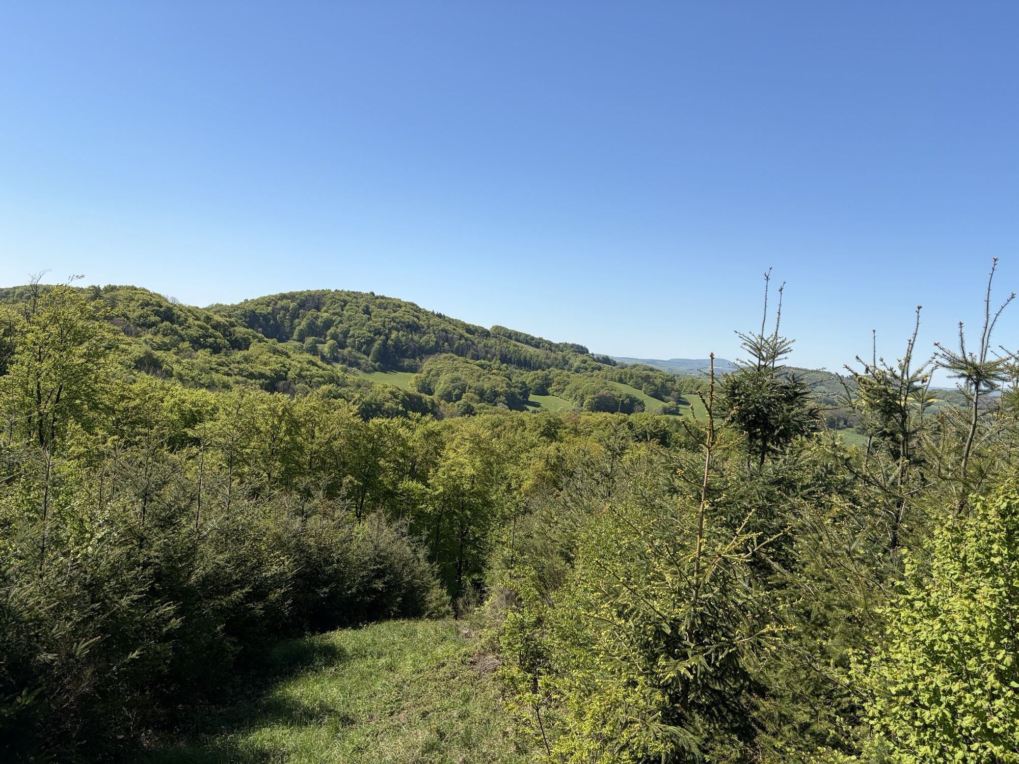
One possible starting point for this route is the village of Neuhaus in central Solling. Starting from there, you cycle, except for two not too long climbs, downhill to the Weser. There, you can take it easy for a few kilometers until you enter the Rühler Schweiz. The terrain gets hillier there, and you have very nice views of the Vogler and the Weser valley. The Vogler ridge trail, which you take further on, is also very beautiful. A climb to the Ebersnackenturm is worthwhile – great view! After crossing the Rühler Schweiz again, you return to the outskirts of the Solling. The Hellental is very nice, and in the village of the same name, you can stop, among other things. Mainly on gravel roads, you travel through the northeastern to eastern outskirts of the Solling, via Dassel to Fredelsloh. For the pottery village of Fredelsloh, you should allow some time; there is much to see in terms of (art) craftsmanship. A section follows through the central, very quiet Solling. Uphill and downhill, you see an old acquaintance in Bodenfelde – the Weser. On the climb towards Nienover, shortly before the top, you have another really nice view of the Weser valley. In Nienover itself, at the so-called Hutewald project, you can observe Heck cattle or Exmoor ponies, which live there semi-freely in a large enclosure. Via Schönhagen and the adventure forest (swimming opportunity), you reach your starting and simultaneously finishing point Neuhaus after almost 160 kilometers.
Via the B 64 or B 83 to Holzminden. Take the Neuhaus im Solling exit onto the B 497. From Uslar, take the B 497 to Neuhaus im Solling.
By train to Holzminden. Then take bus line 510 to Neuhaus im Solling. Bus line 510 also runs from Uslar.
Parking lot at the House of the Guest
Solling-Vogler-Region in Weserbergland e. V.
Tourism Center
Lindenstr. 8
37603 Holzminden/ Neuhaus
Tel.: 05536/ 96097-0
info@solling-vogler-region.de
www.solling-vogler-region.de
Alternative starting points: Along the route, there are many possible starting points in almost every town
Pridobite vpogled
Vedno v živo na mestu z več kot 9.500 spletnimi kamerami. bergfex Kot uporabnik Pro si lahko zdaj ogledate ustrezne spletne kamere za številne izlete v aplikaciji izleti iz. Tako si lahko neposredno ogledate trenutne razmere.
Priljubljeni izleti v okolici
-
5.0
Lunauborn (Schö 1)
srednjaPohodništvo 9.27 km -
Lebensraumroute - Der Burgberg große Runde (LRR 2)
Tematska pot 5.42 km -
Habitat Route - The Mecklenbruch large loop (LRR 5)
svetlobaTematska pot 6.20 km -
Lebensraumroute - Neuer Teich und Lakenteich (LRR 9)
Tematska pot 6.28 km -
Habitat route - The Hasselbach in the Schießhäuser valley large round (LRR 7)
Tematska pot 4.68 km -
Hochmoorgeist (S 1)
svetlobaPohodništvo 8.50 km -
Keilerweg (De 7)
srednjaPohodništvo 11.7 km -
Berg und Tal (N 6)
svetlobaPohodništvo 5.87 km -
Lebensraumroute - Das Hellental große Runde
Tematska pot 6.73 km -
Sandstone Adventure Route Arholzen
Tematska pot 2.90 km
Pohodništvo in sledenje


Ne zamudite ponudb in navdiha za naslednje počitnice
Vaš e-poštni naslov je bil dodan na poštni seznam.





