


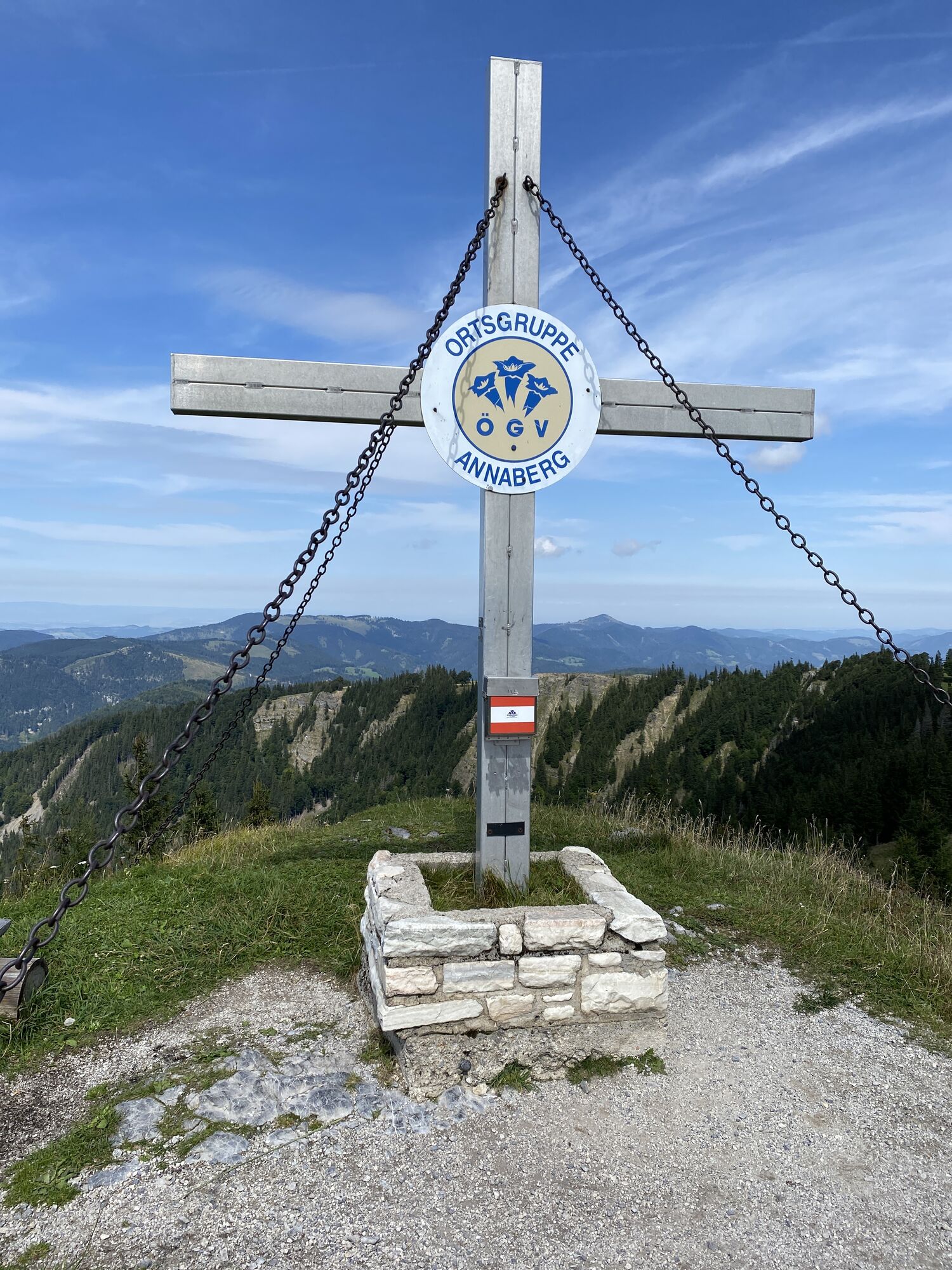
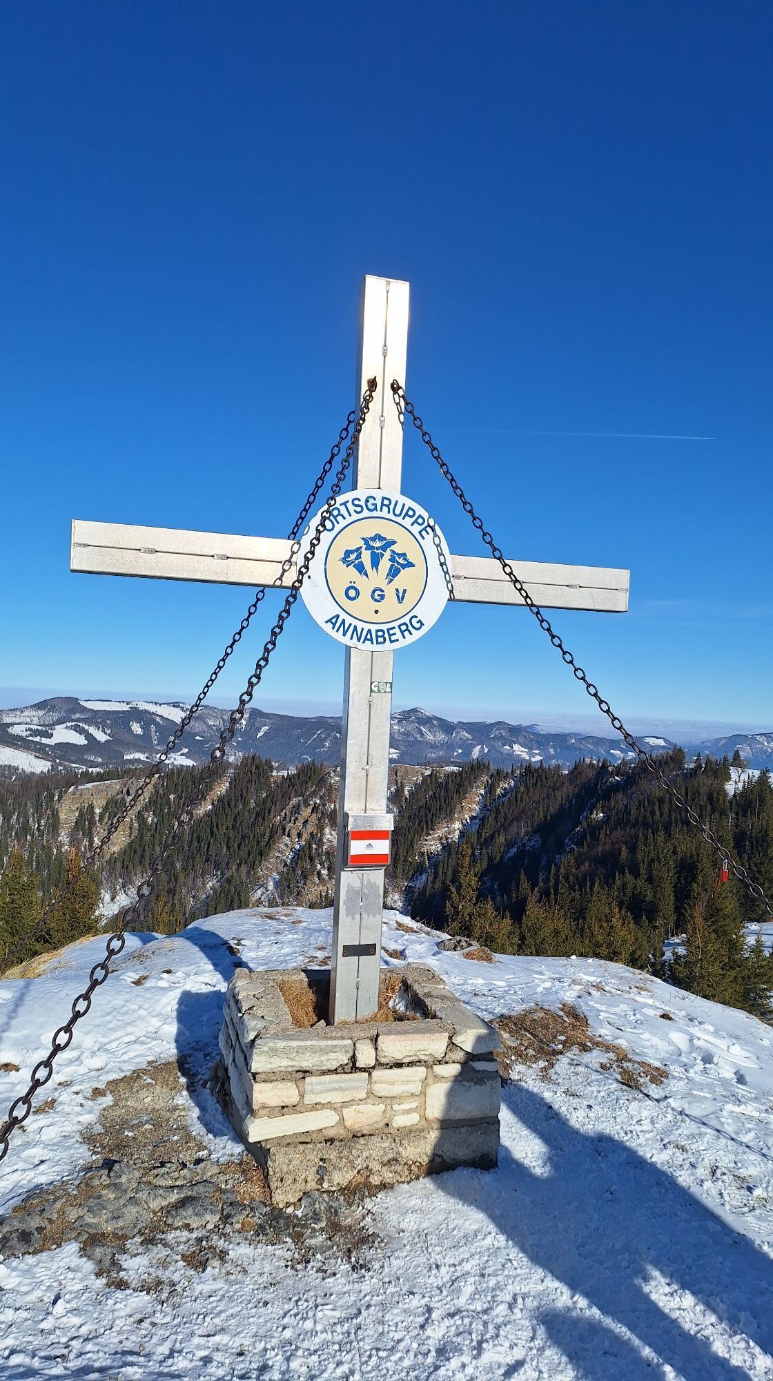
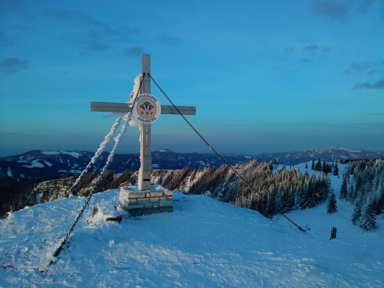
Tirolerkogel, Annaberg's local mountain
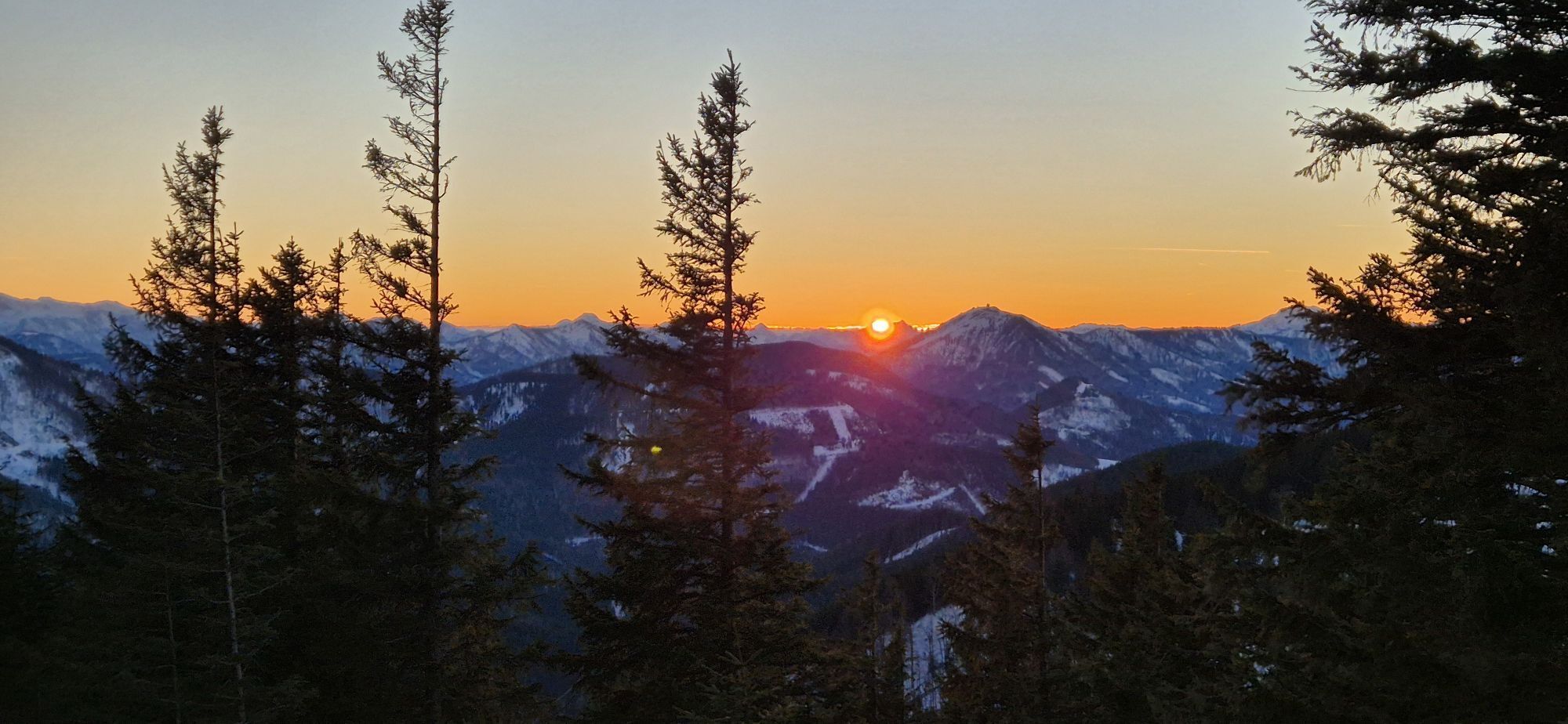
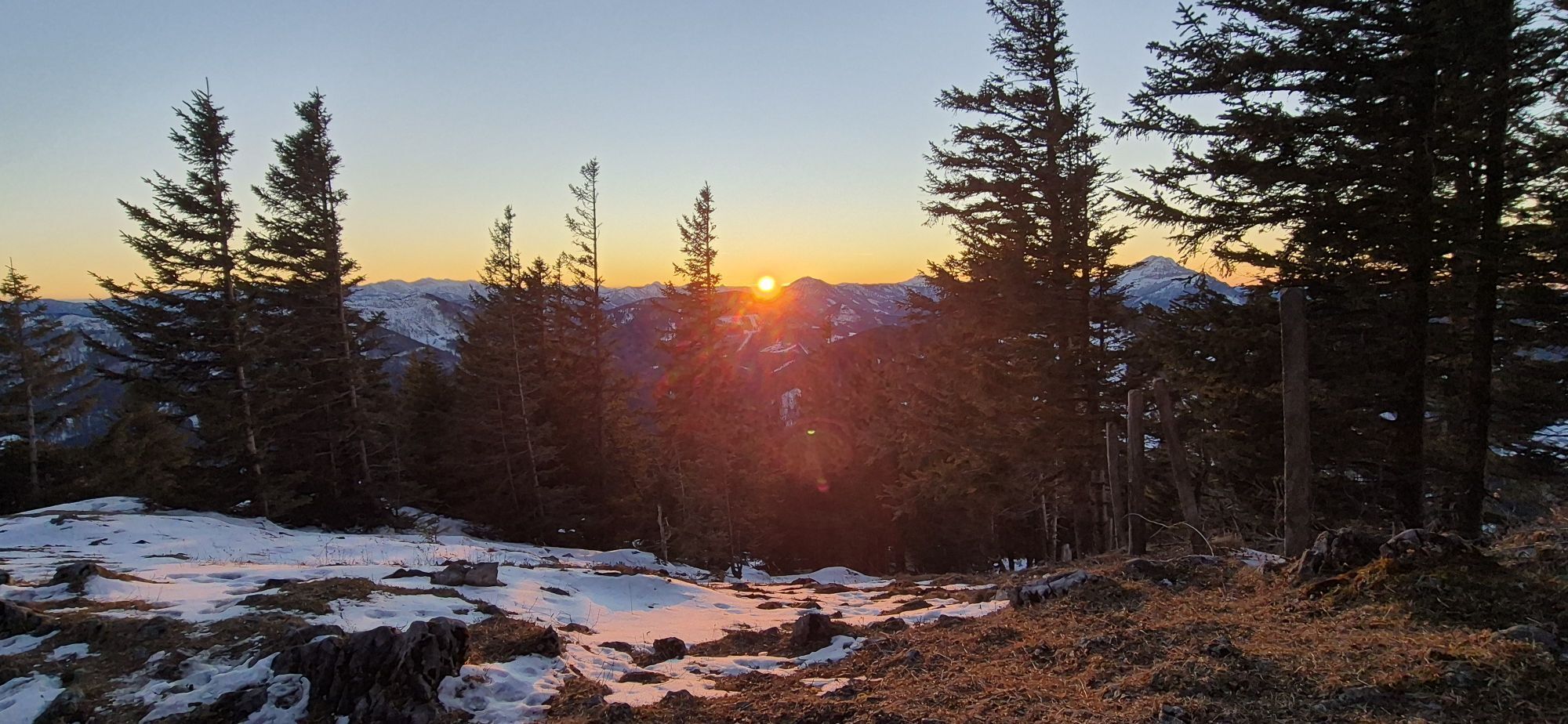
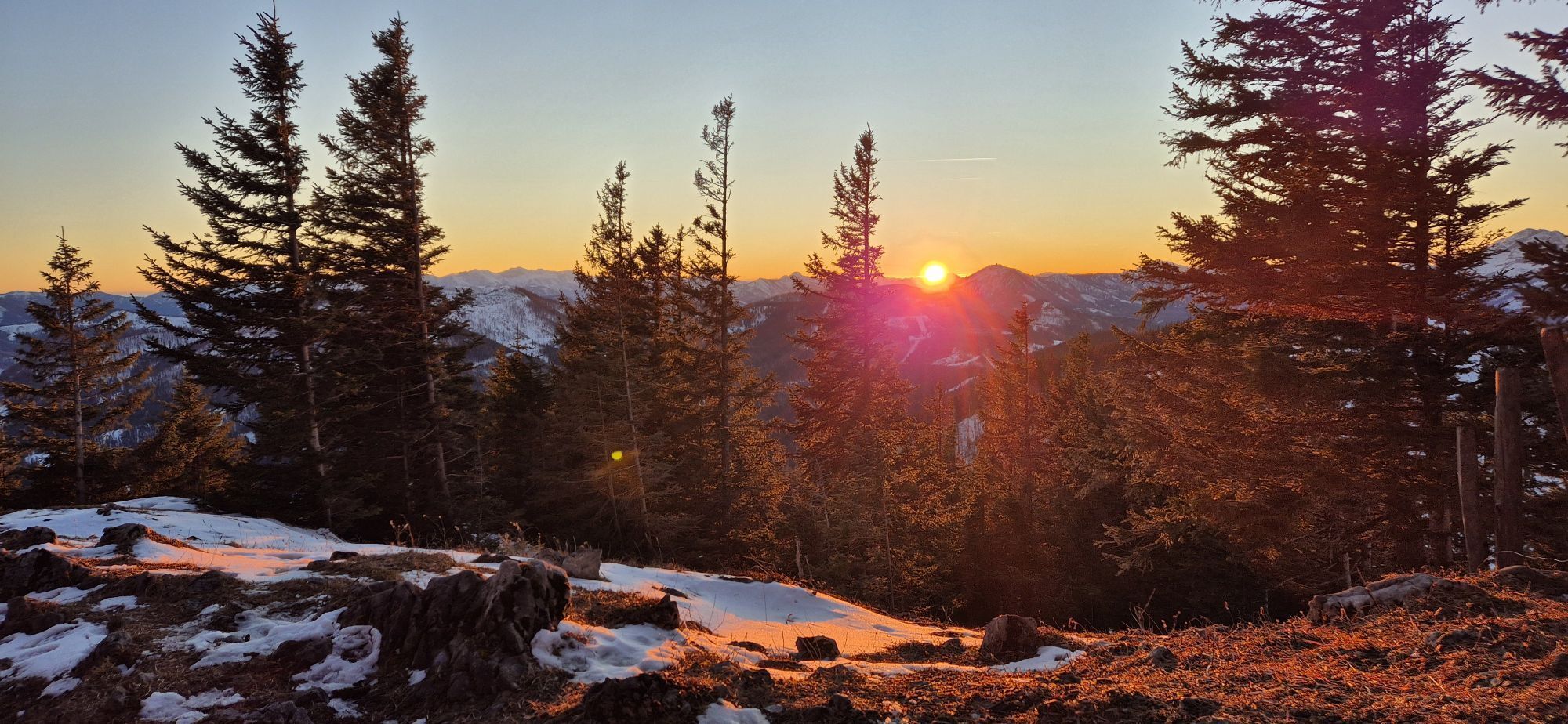
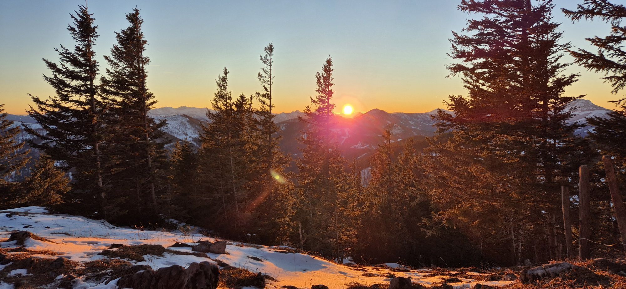
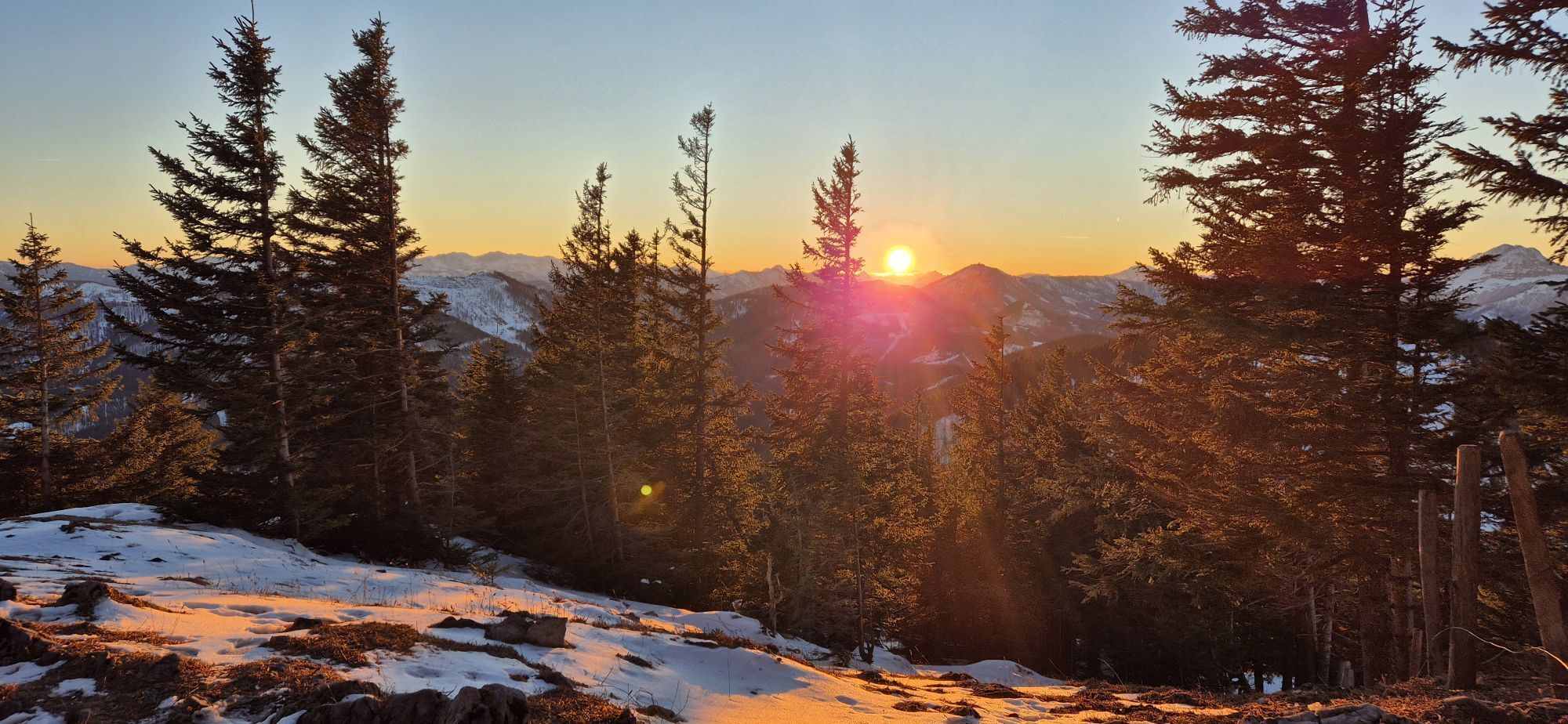
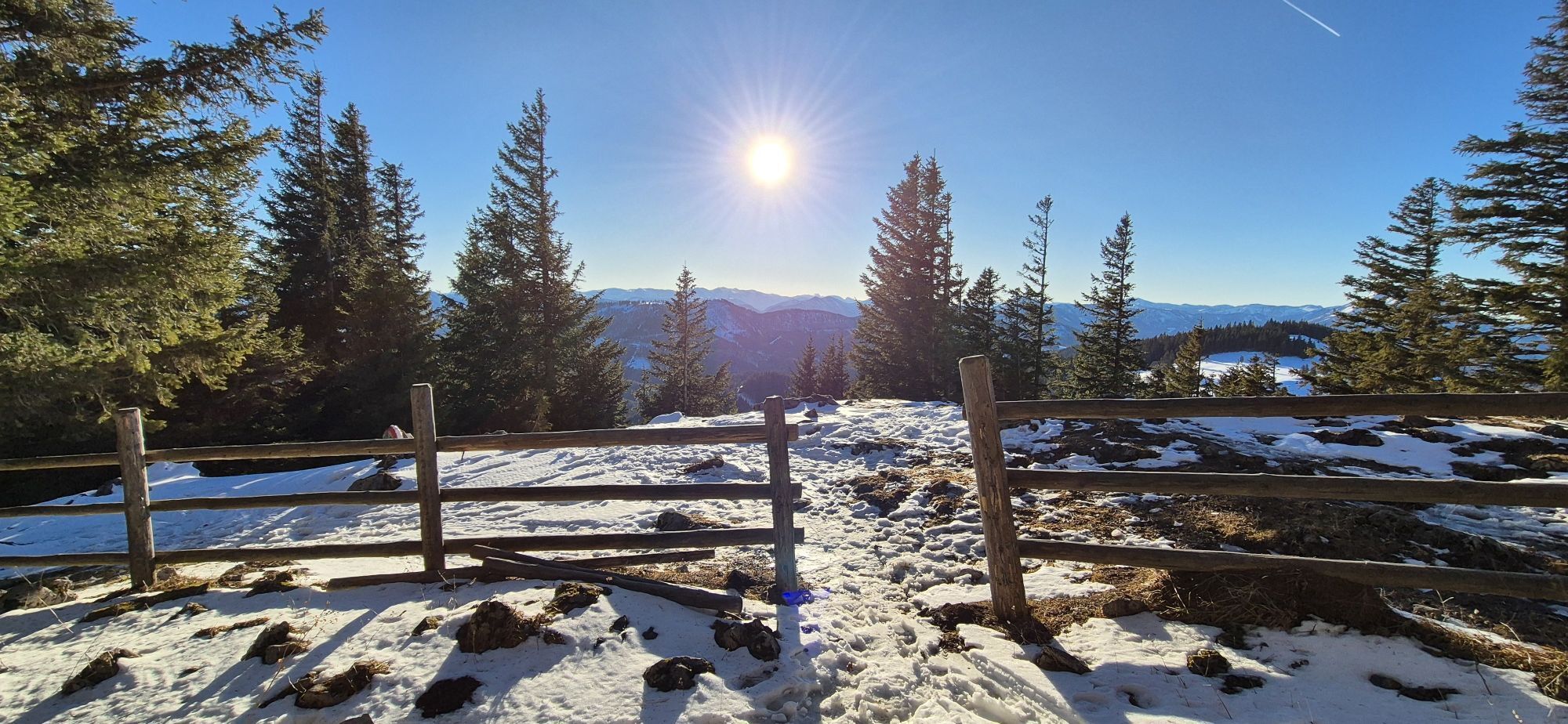
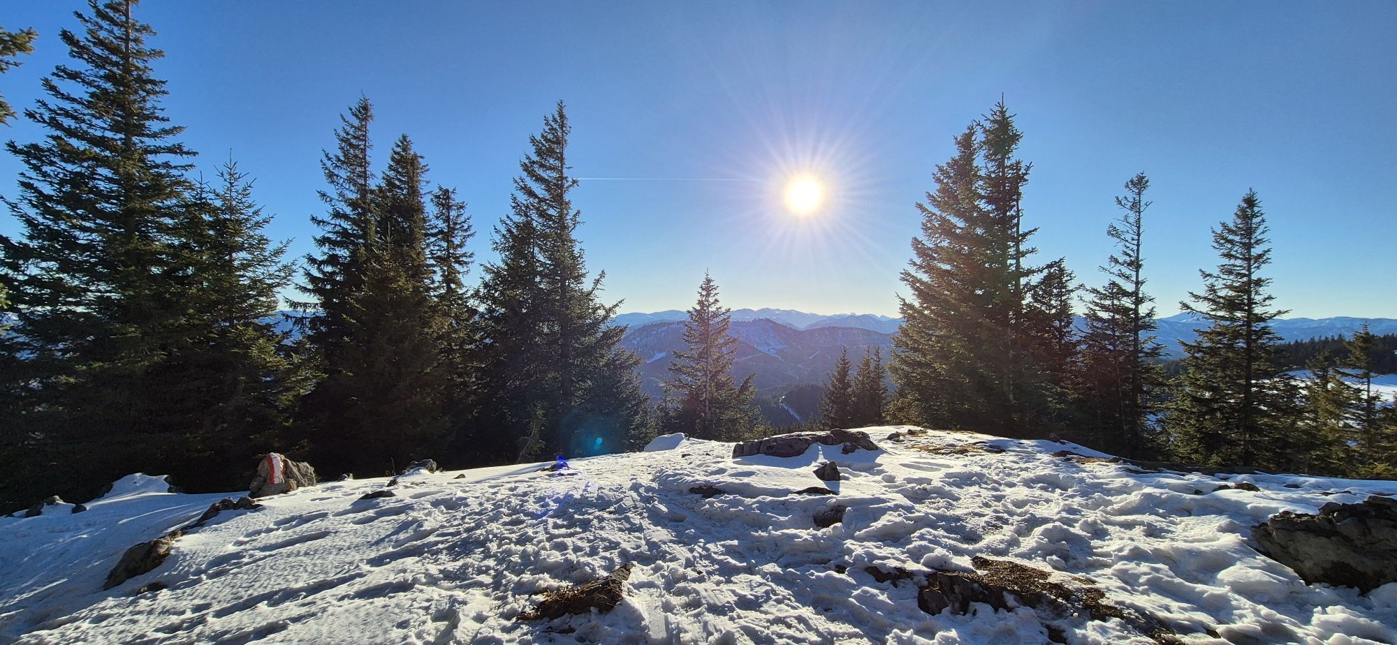
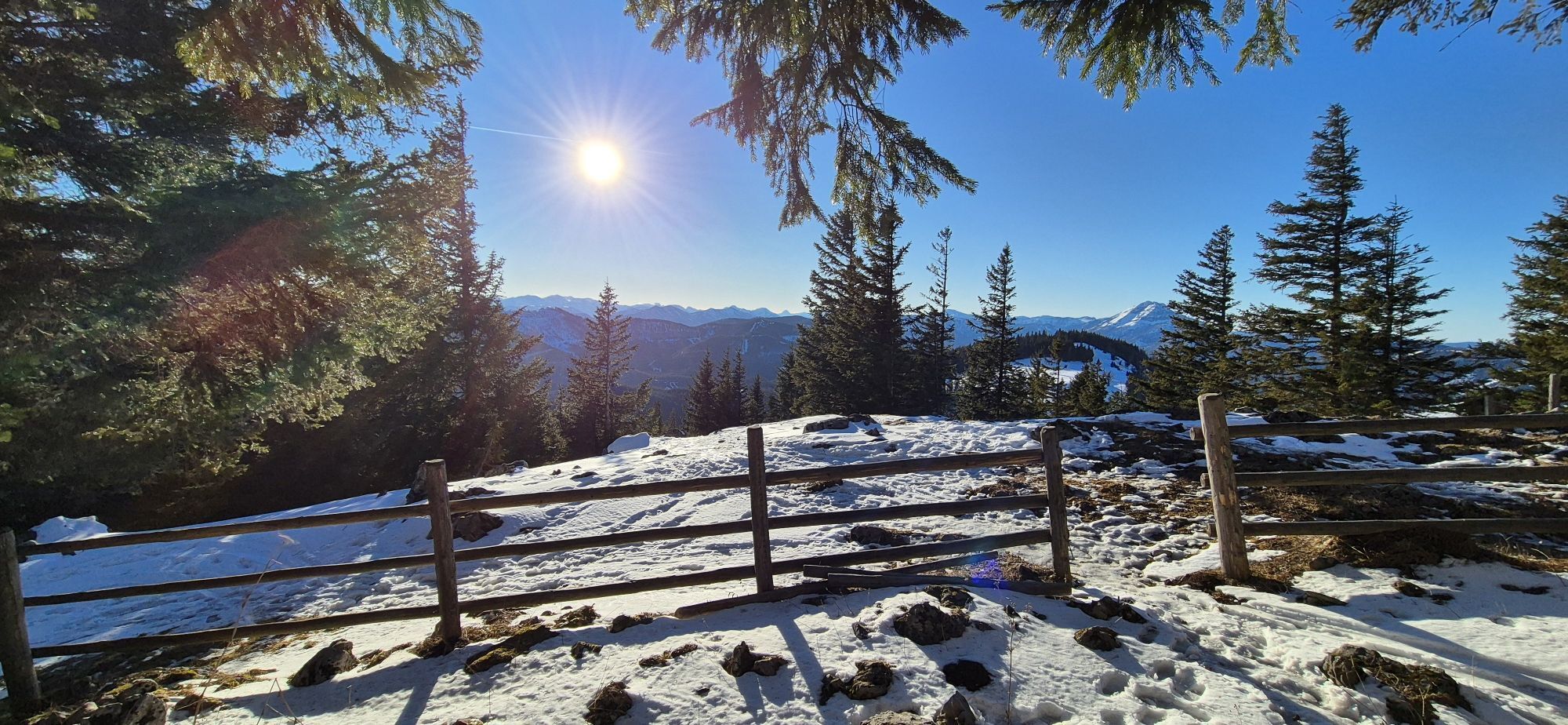
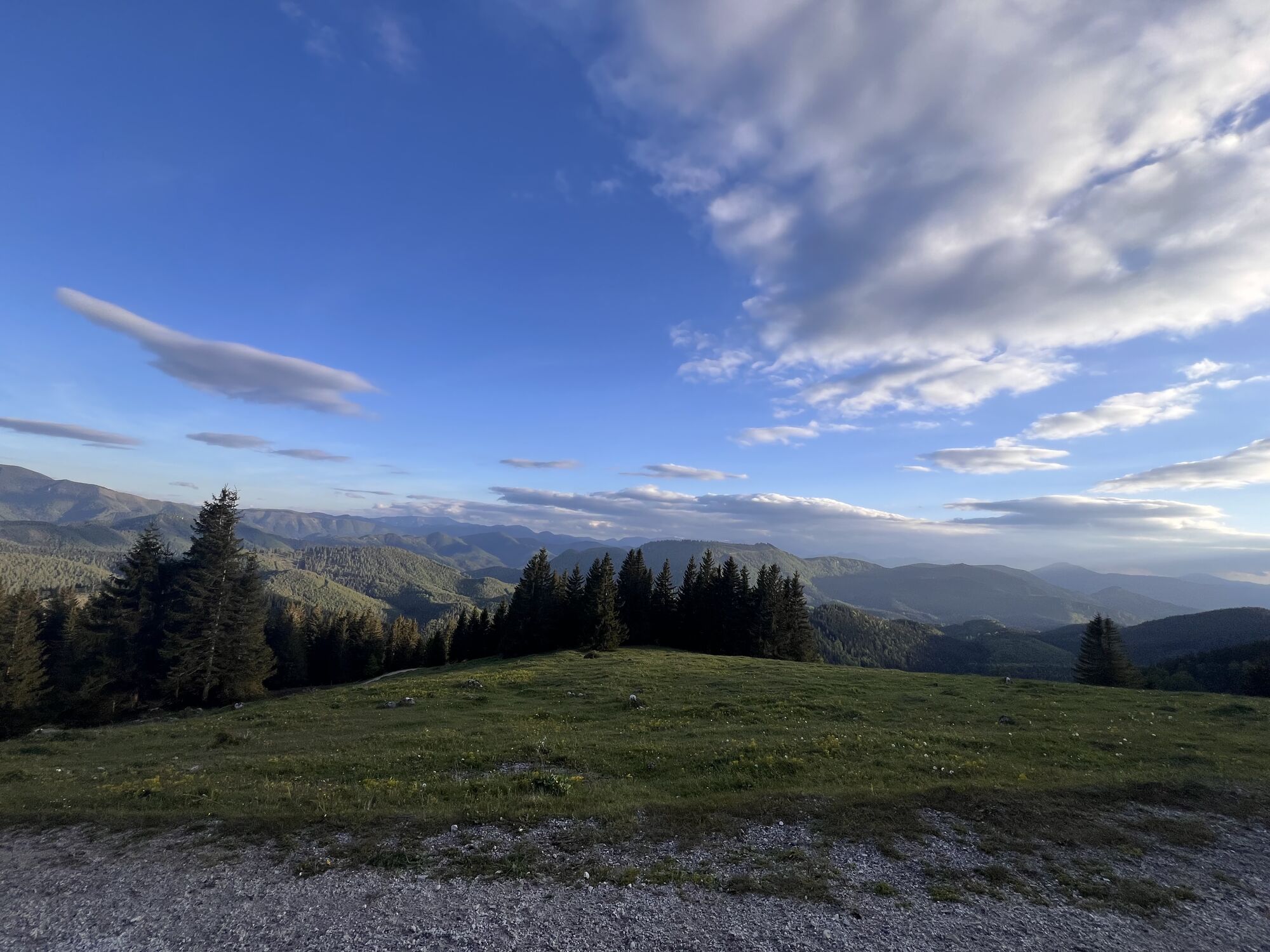

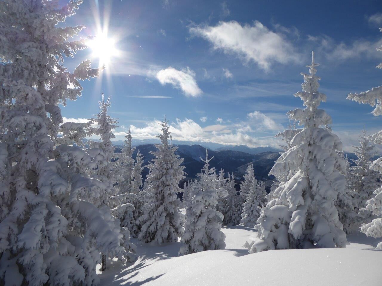
The Annaberg - Tirolerkogel pre-alpine tour is a moderately difficult, varied and very scenic hike that is also ideal for families. From the highest point of the Tirolerkogel (1,377 m), hikers can enjoy...
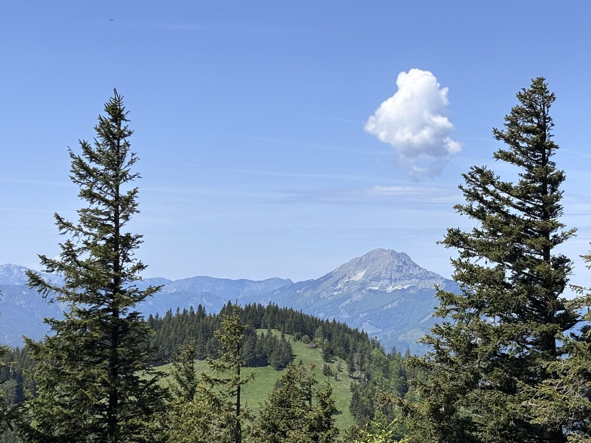
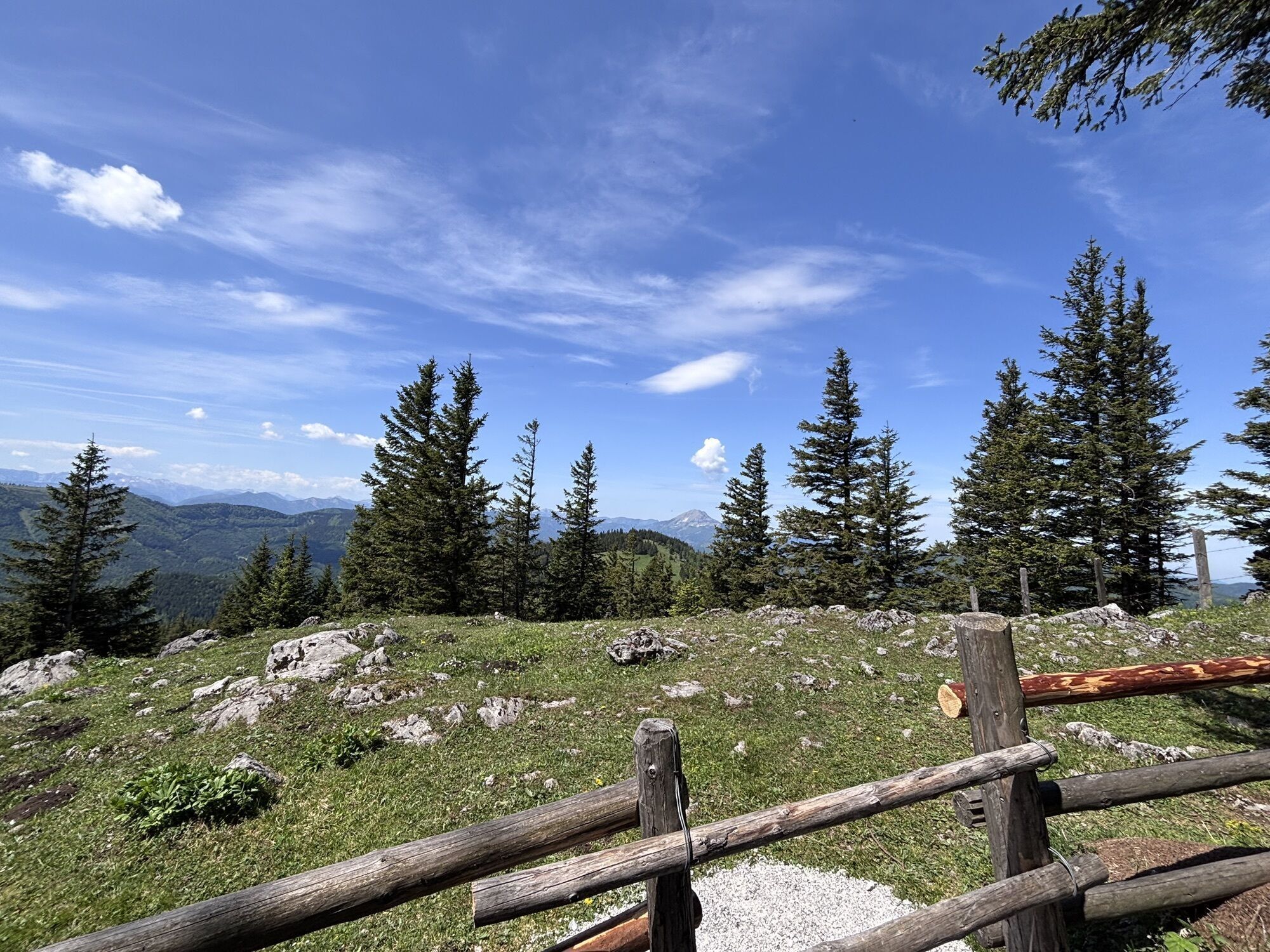
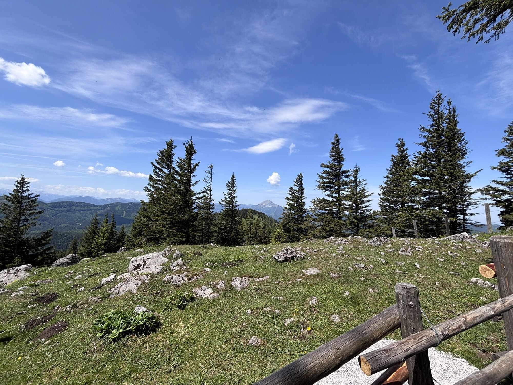
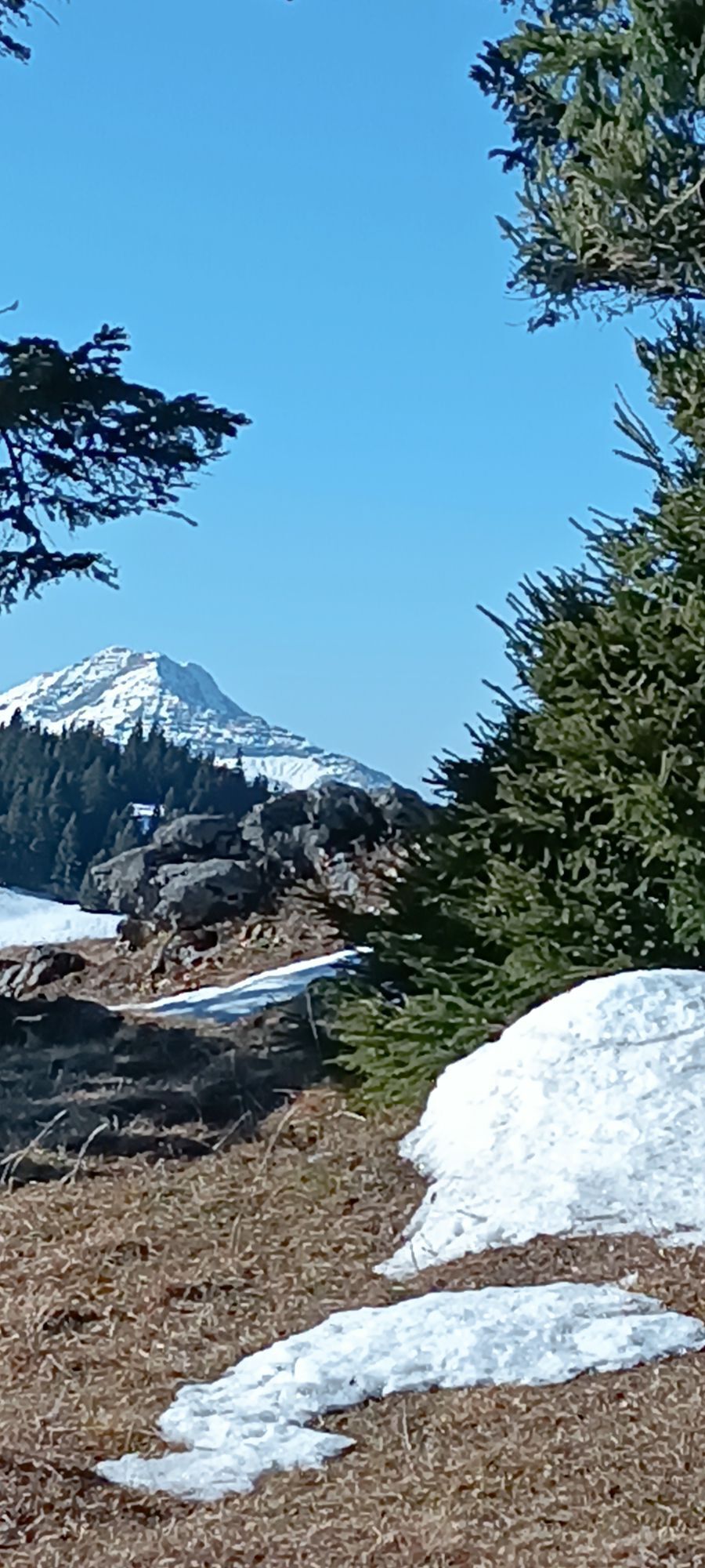
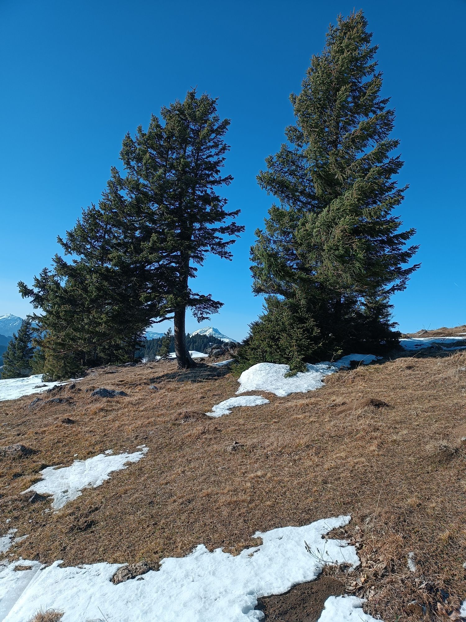
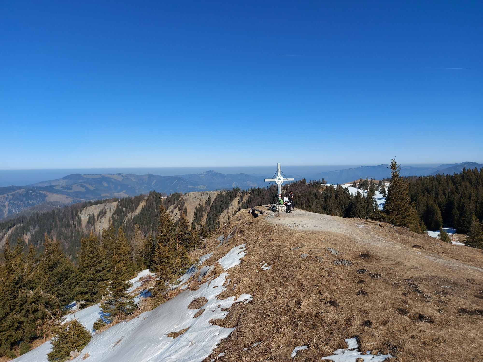
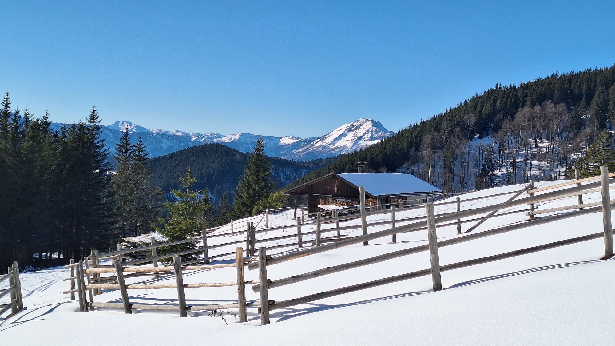
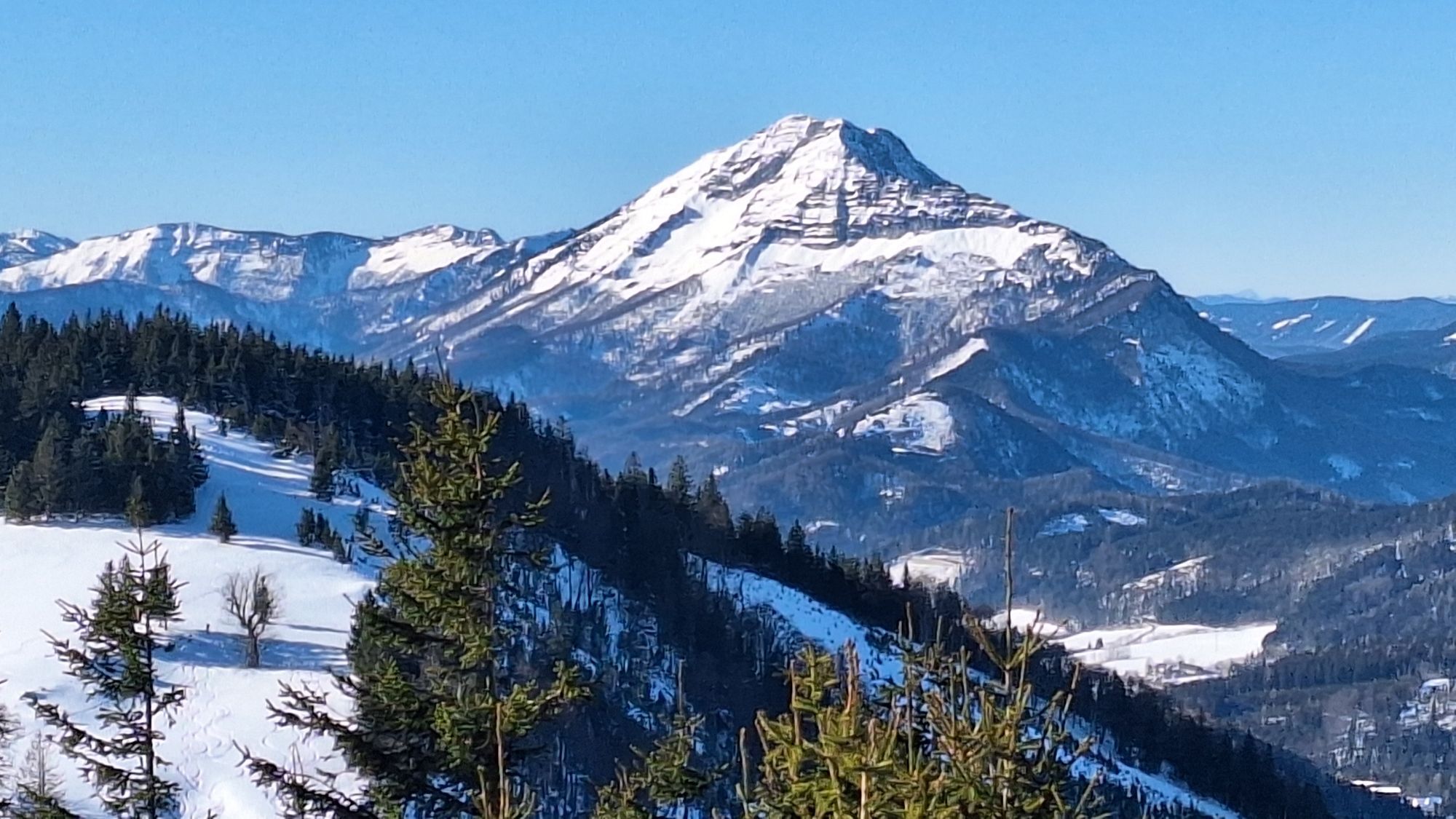
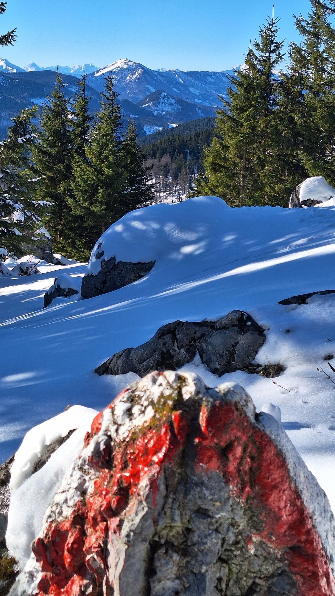
The Annaberg - Tirolerkogel pre-alpine tour is a moderately difficult, varied and very scenic hike that is also ideal for families. From the highest point of the Tirolerkogel (1,377 m), hikers can enjoy a magnificent panoramic view of the Ötscher, Dürrenstein and the Gemeindealpe, Gippel, Göller, Schneeberg and the Hochschwab group.
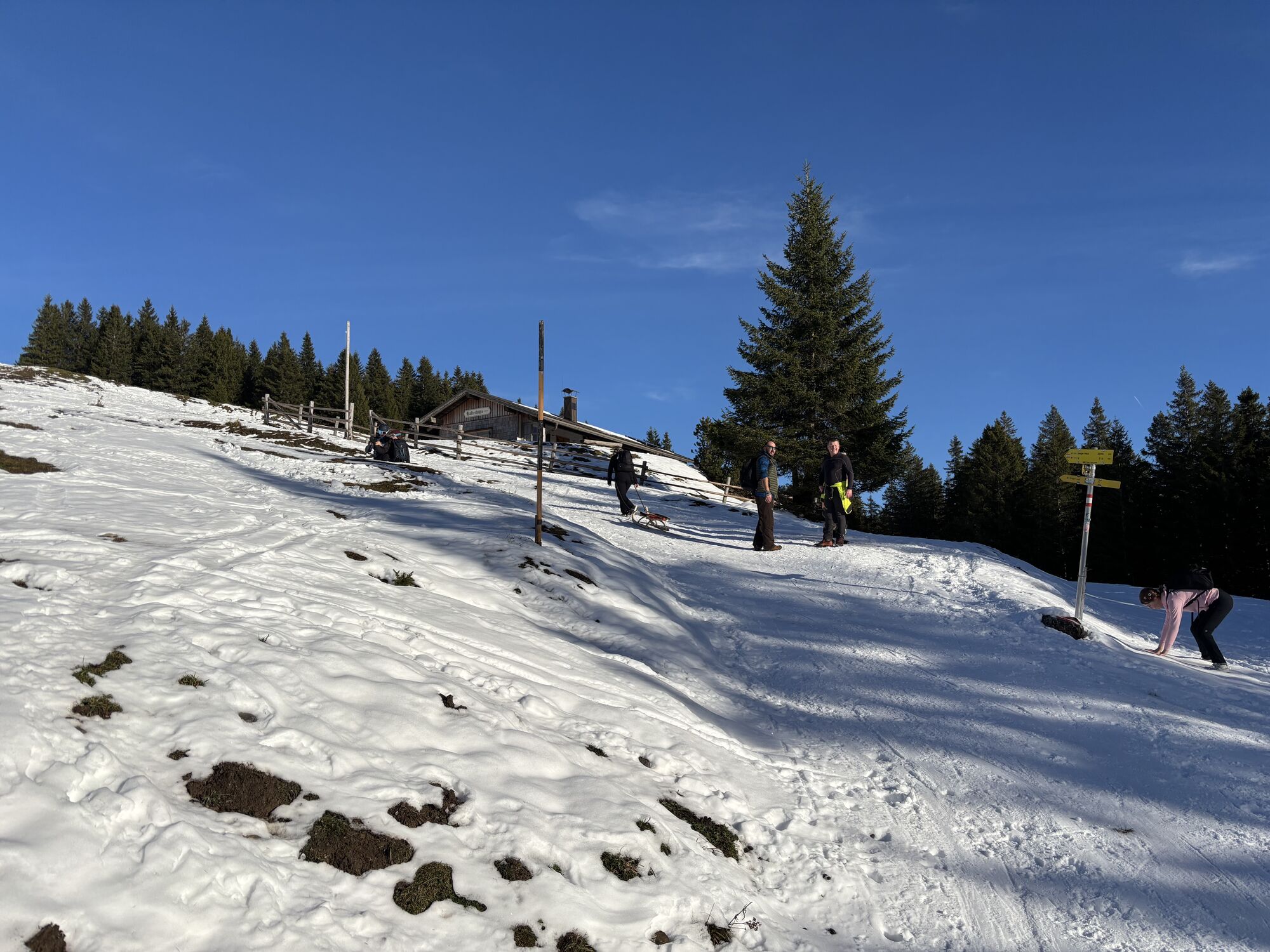
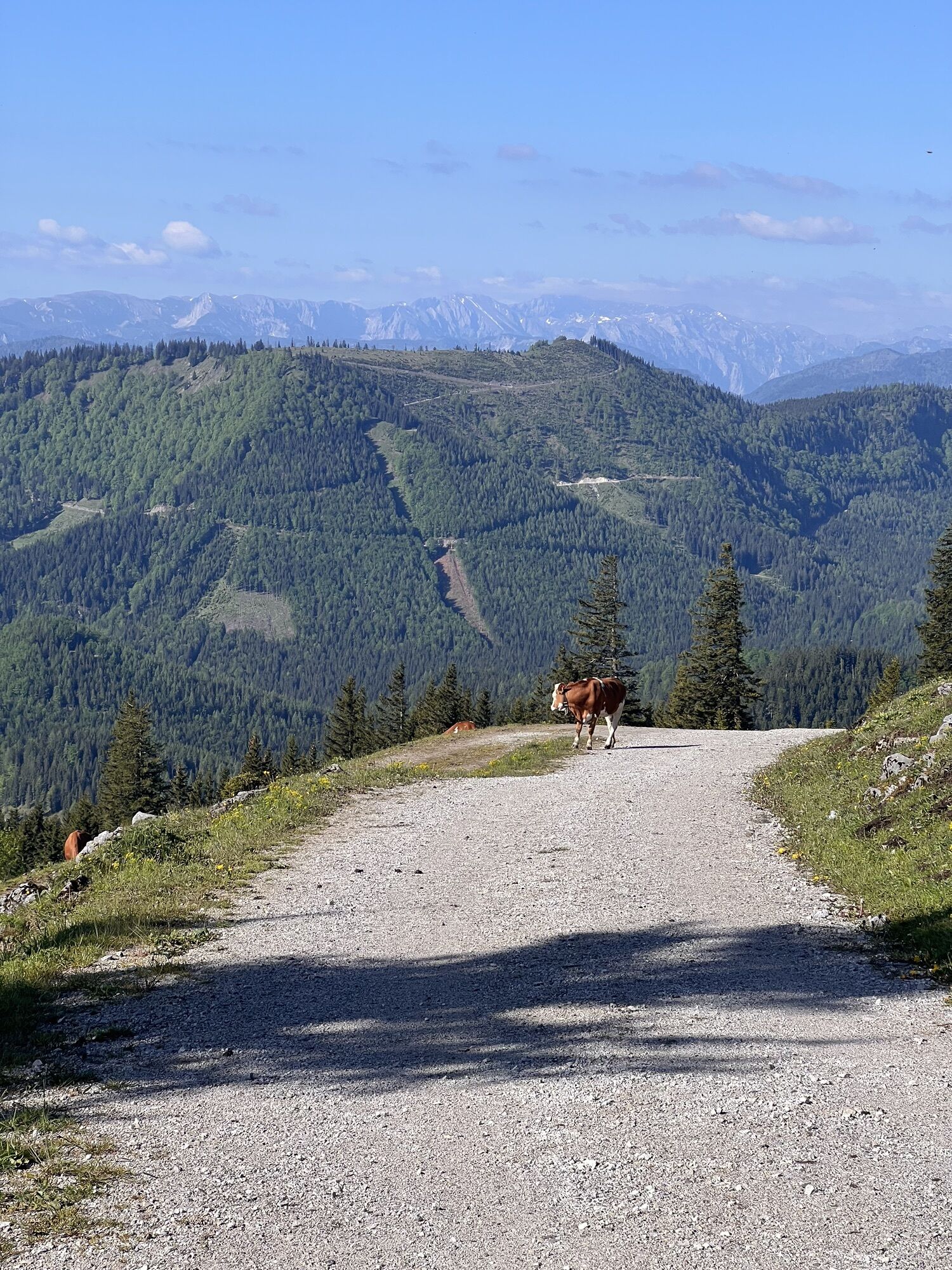
Snowshoe hikers, ski tourers and tobogganers have also discovered the route for themselves.
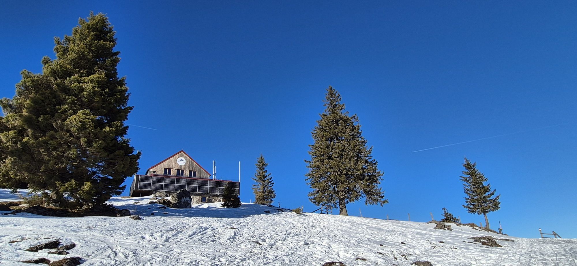
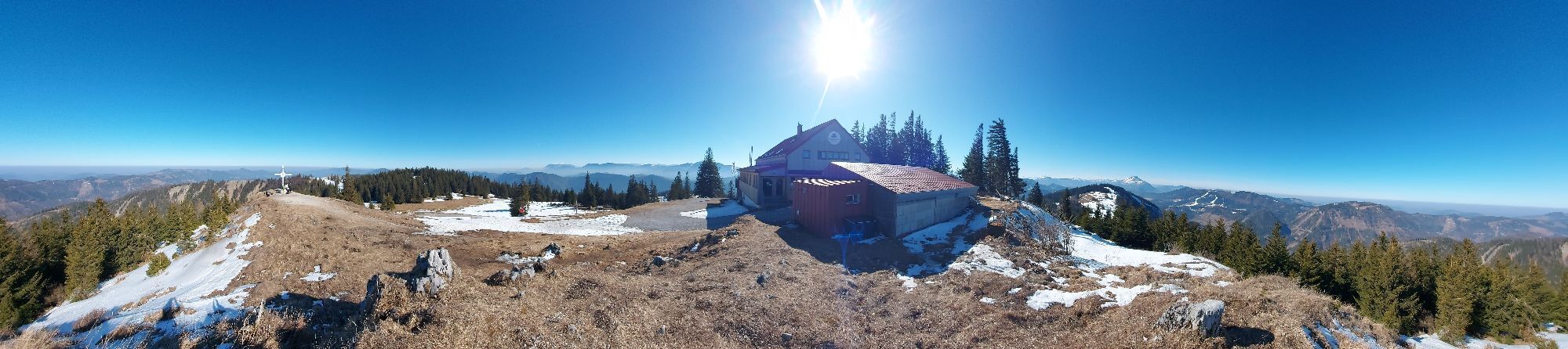
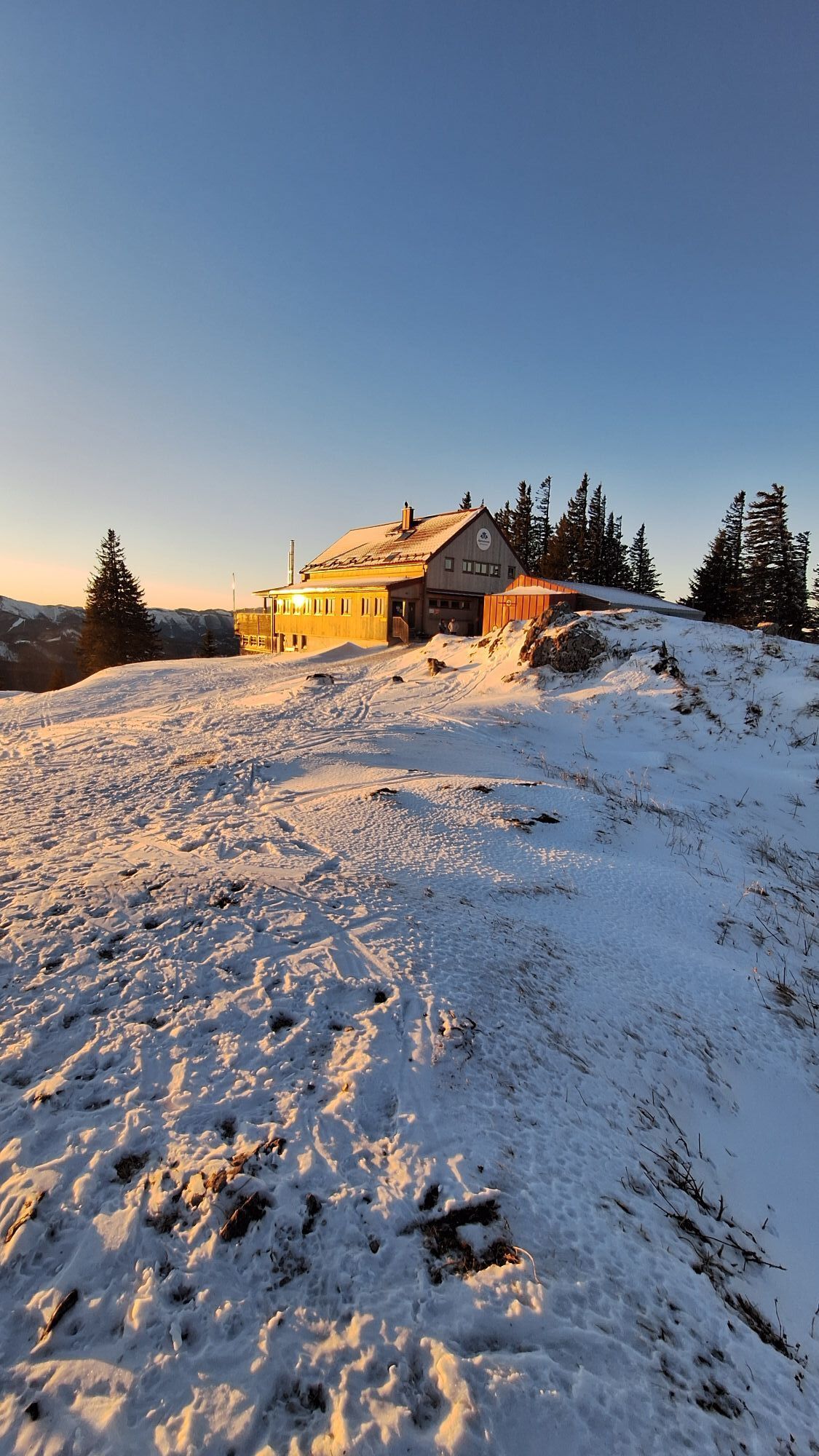
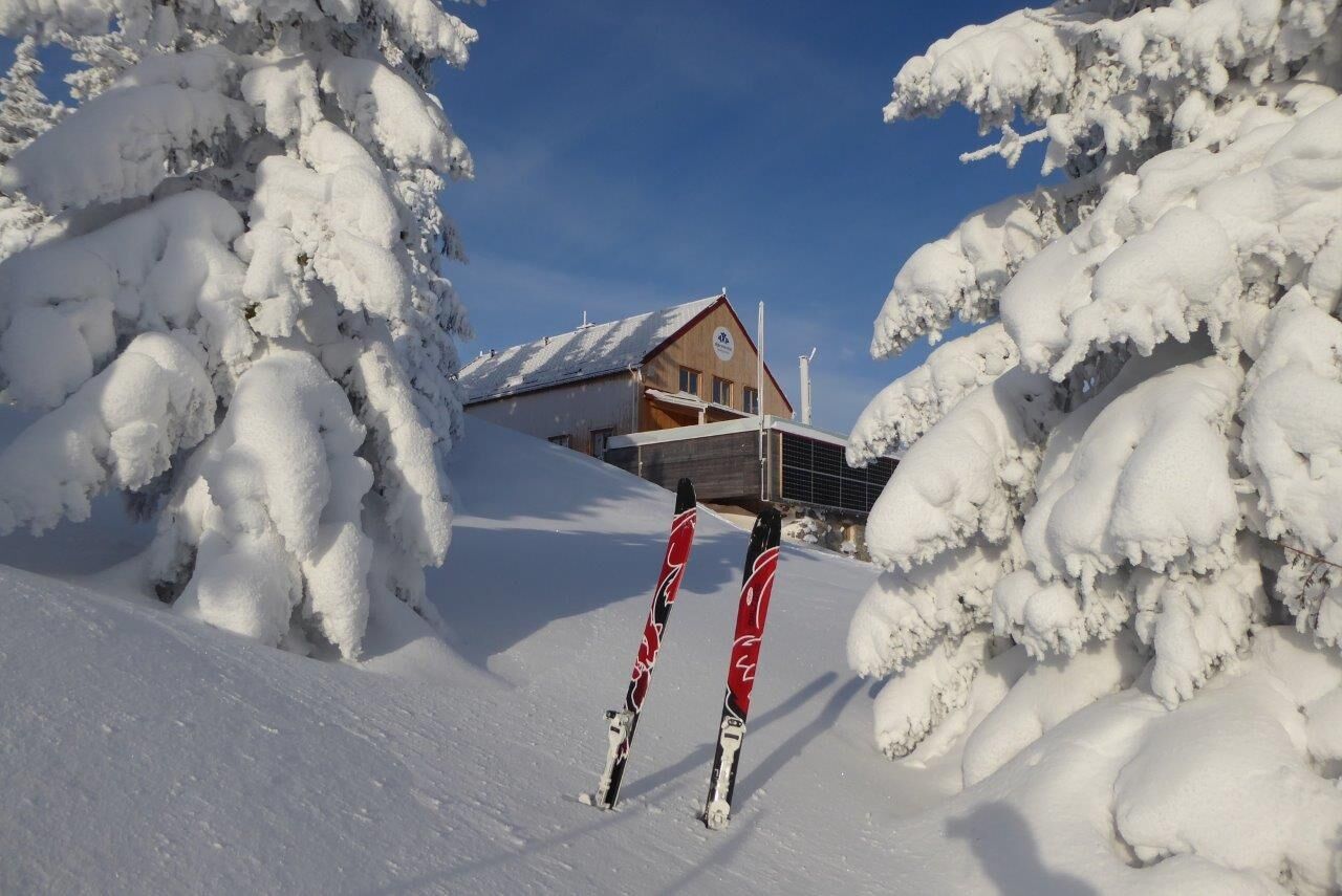
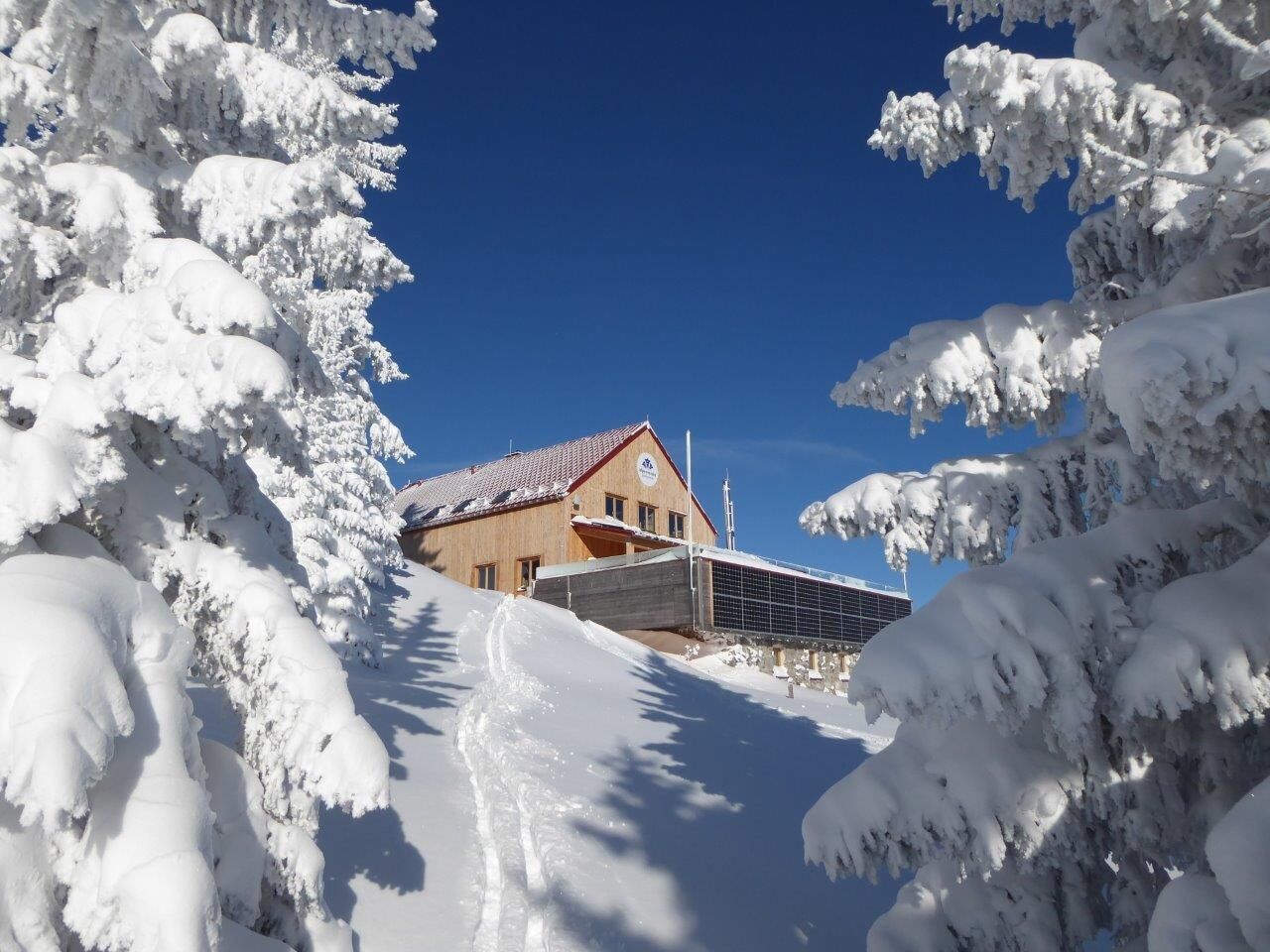
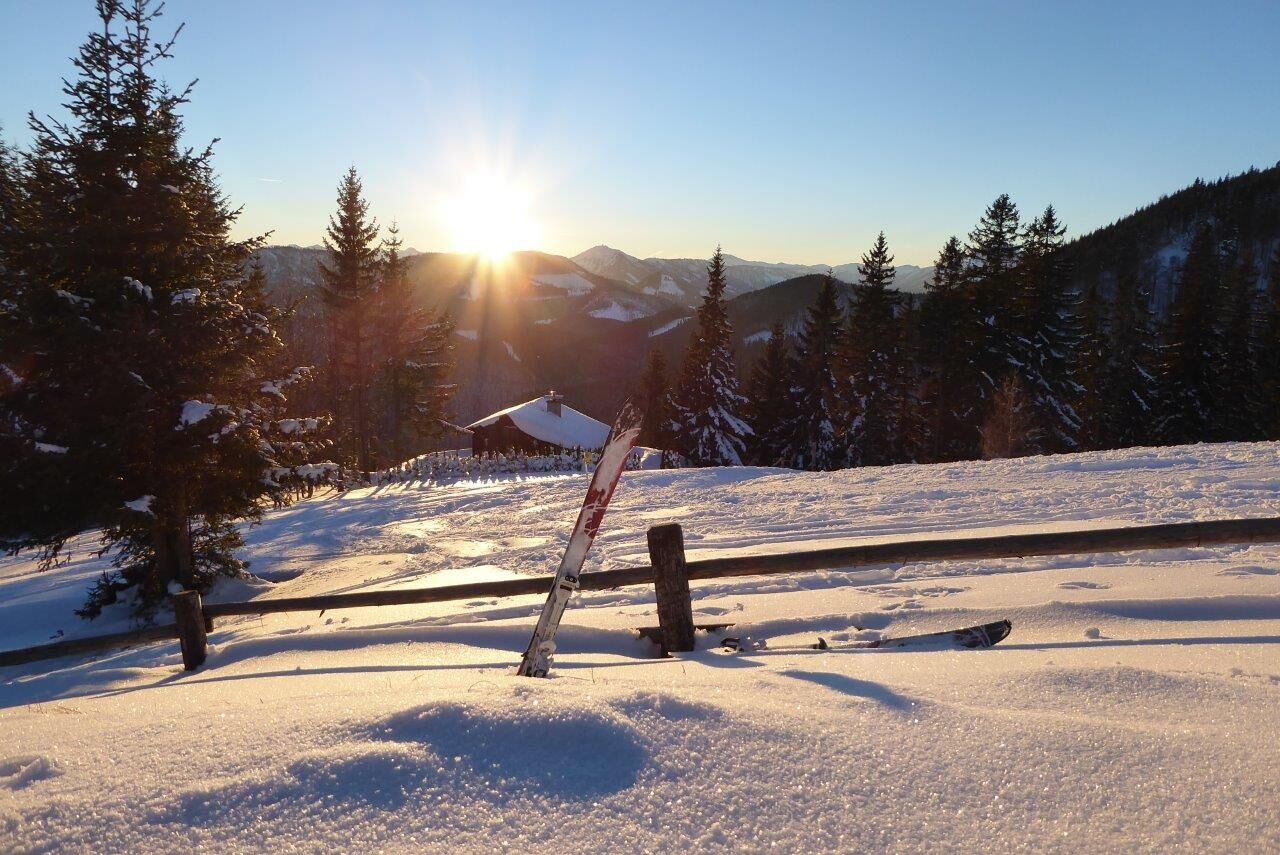
The Annaberger Haus rewards hikers with refreshments. The refuge is open all year round, Mon. Tue. day off.
Toboggans can also be hired from the Annaberger Haus - advance booking is recommended (T +43 2728 20459)!

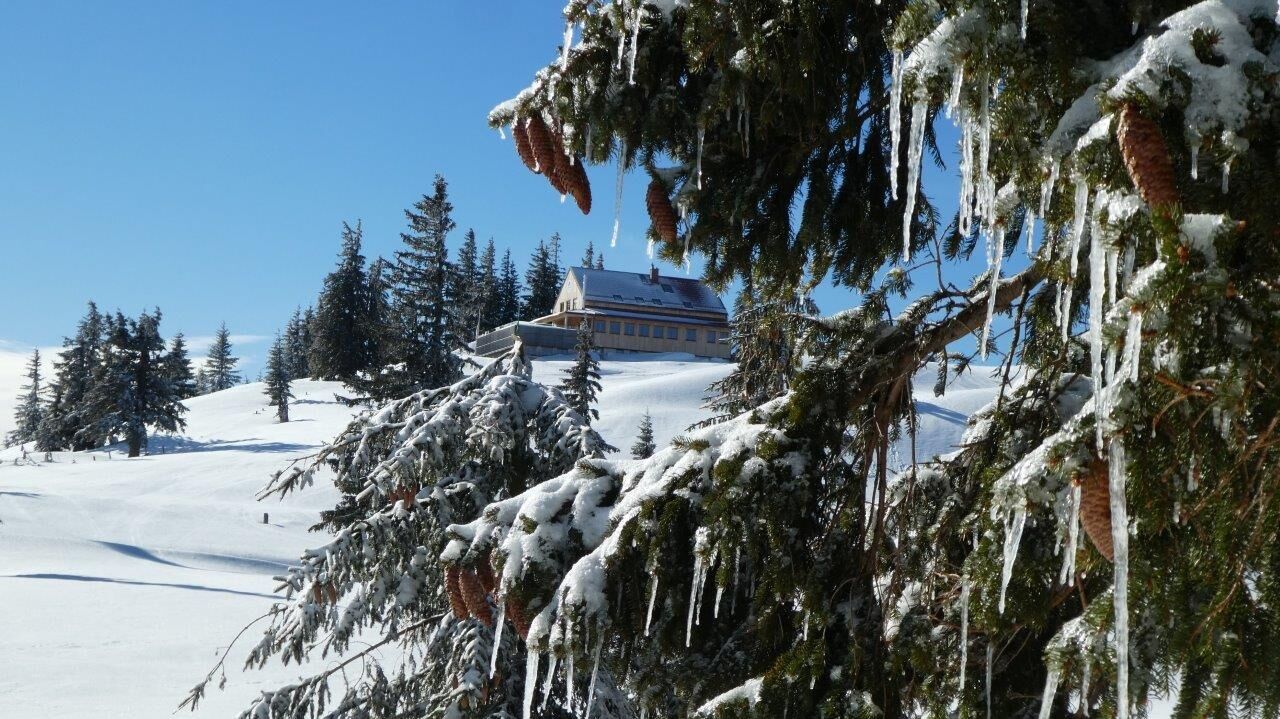
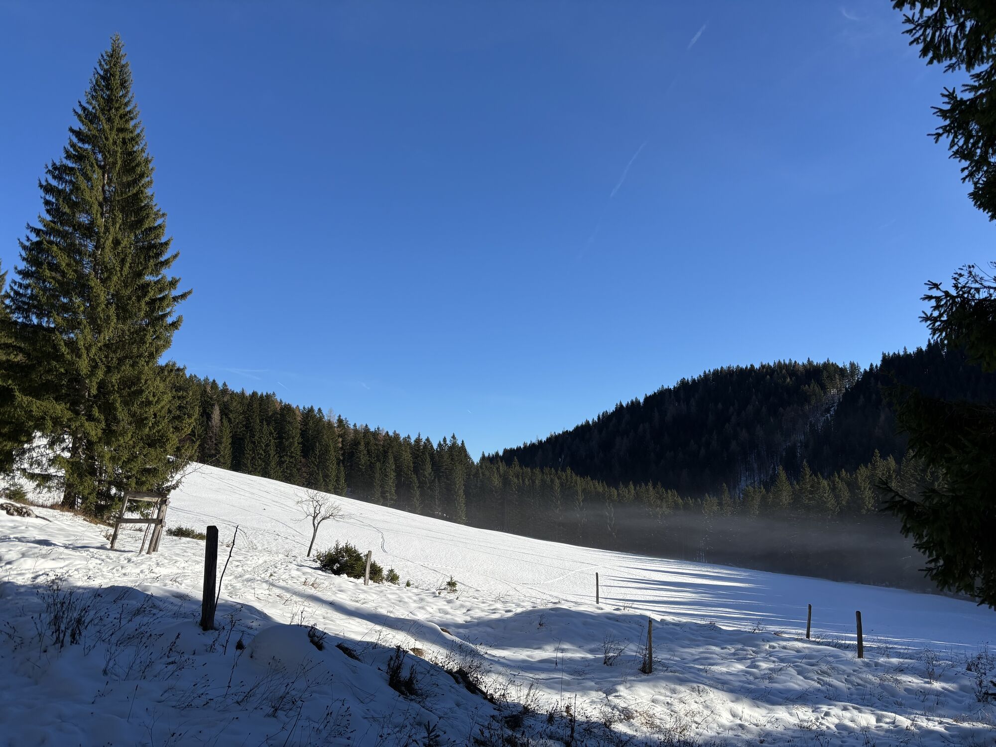
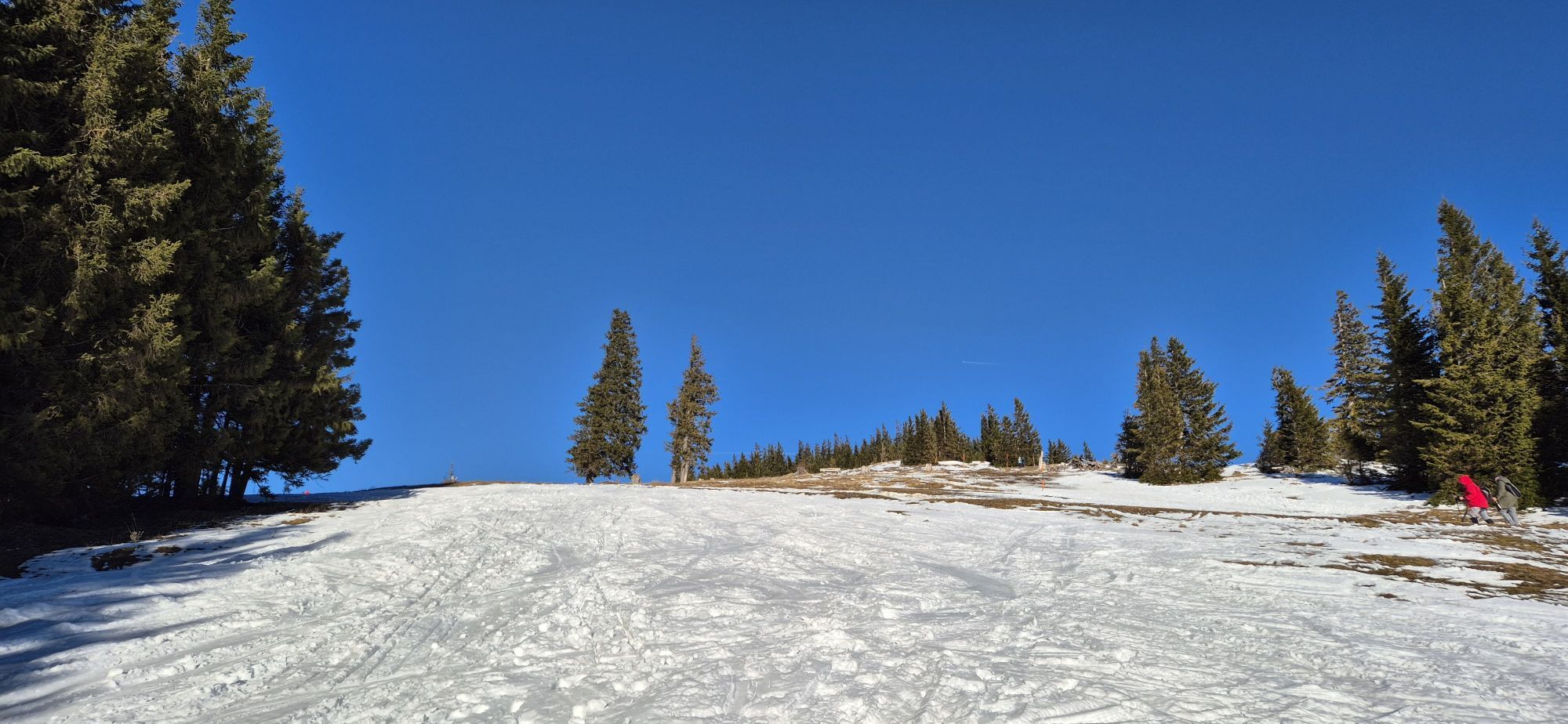
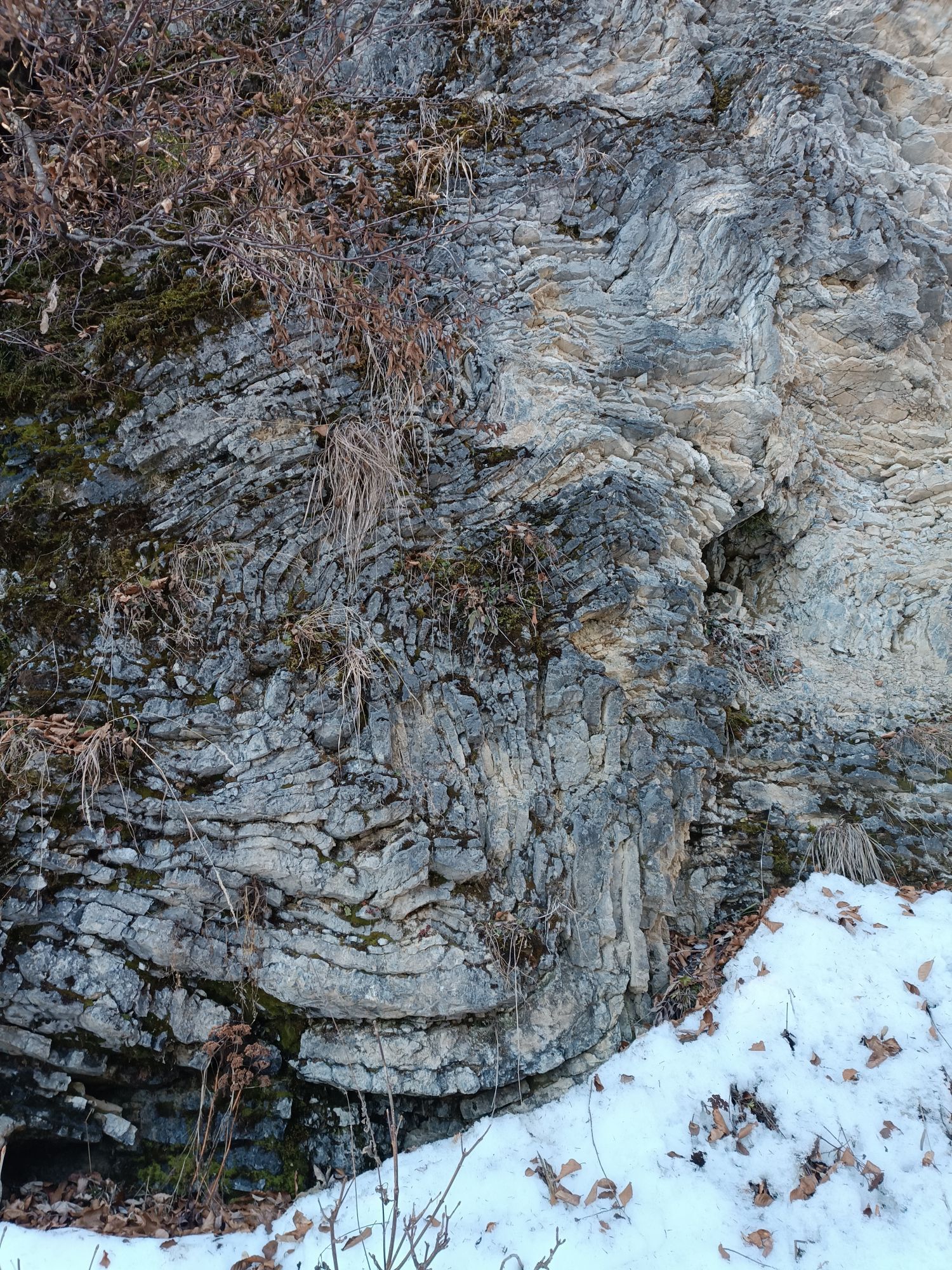
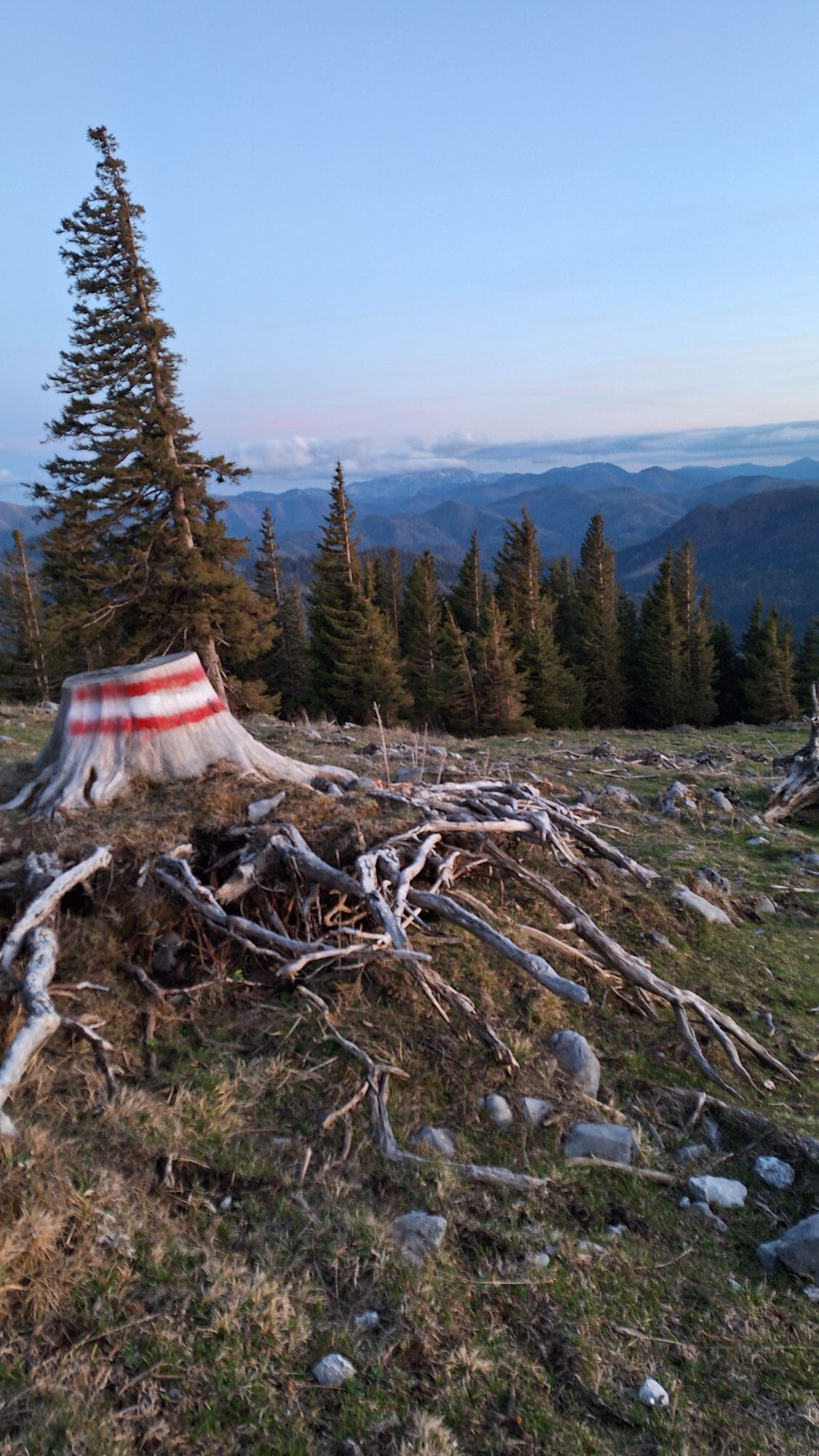
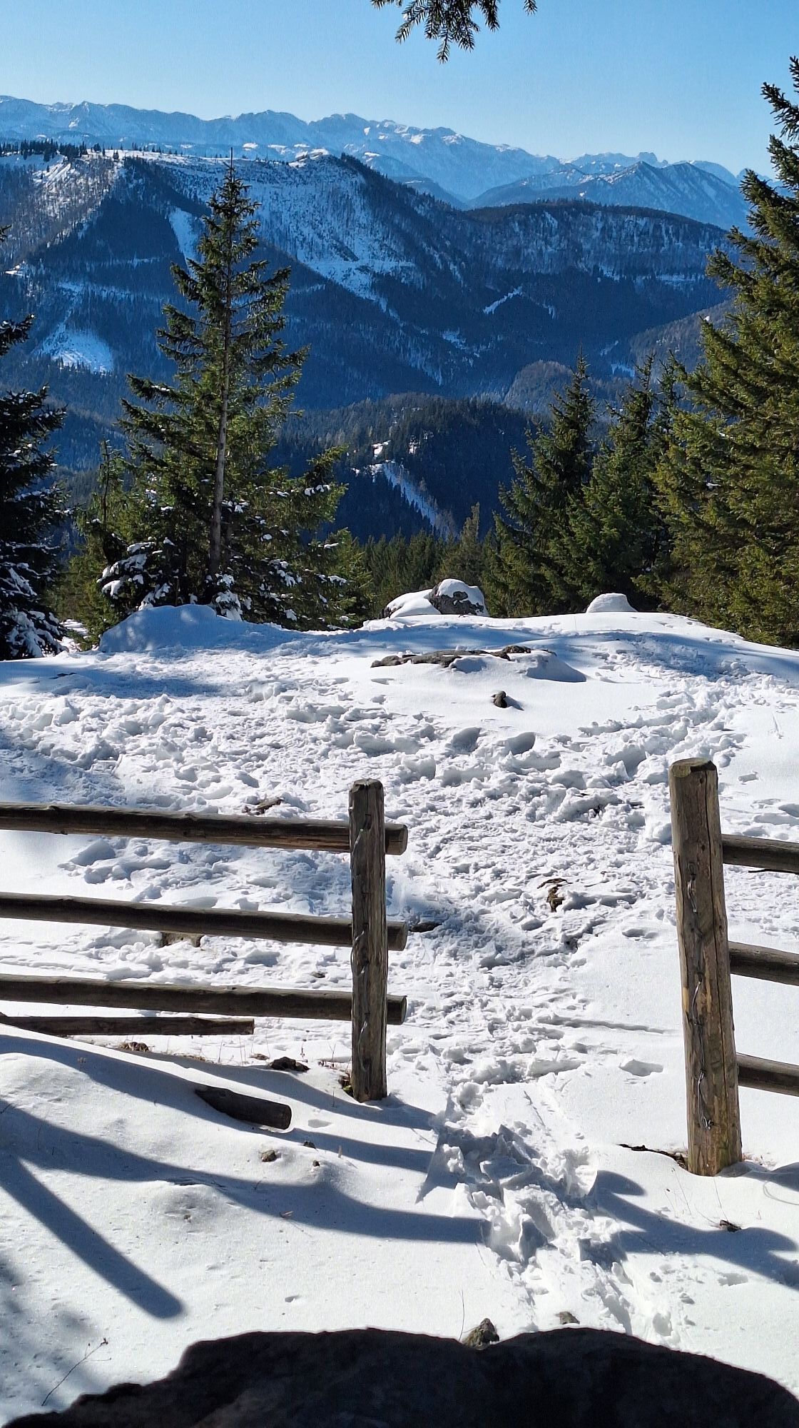
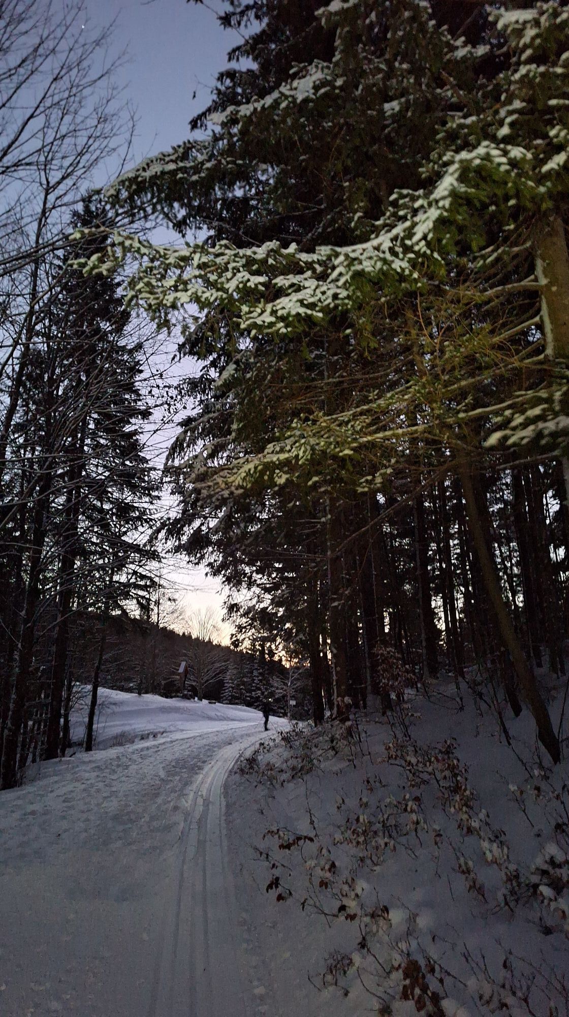
The well-marked route leads from the parking lot directly on the B20 in front of Annaberg along the "Am Gscheid" trail to Tirolerkogel and back again. We start from the Tirolerkogel parking lot east of Annaberg on a gravel road comfortably up to the “Gscheid.” Here, left soon climbing more steeply to Bergecke and into the “Specktal” (interesting folds in the Gutenstein limestone on the left side of the path), where we soon reach the Halter hut. Now cutting off the road bends left straight across the slope covered with weather-resistant trees with an increasingly magnificent view to the Annaberger House.
The same route leads back to the starting point, alternatively also by toboggan!
Da
Sturdy hiking boots, snowshoes, ski touring equipment
Via A1, exit "St.Pölten-Süd" - Mariazell federal road B20 before Annaberg
Postbus line number 169 (Vienna – Mariazell, Mariazell - Vienna)
Tirolerkogel parking lot in front of Annaberg next to the B20
Responsible for the content of this tour
Mostviertel
Last update: 20.10.2025
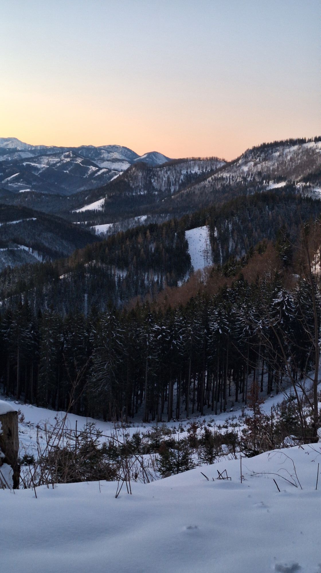
The groomed winter trail on the Tirolerkogel is also a popular toboggan run. Away from the hustle and bustle and the ski area, you have to pull your own sled up first (walking time approx. 1.5-2 hours), but the great ride down the valley rewards the effort.
Convenient: The Annaberger House also offers sled rental (reservation recommended, T +43 2728 20459)!
Dejavnosti na poti

Annaberg, Niederösterreich/Österreich
26.04.2026 – PohodništvoAnnaberg, Niederösterreich/Österreich
04.04.2026 – Pohodništvo
Annaberg, Niederösterreich/Österreich
15.03.2026 – Pohodništvo
Annaberg, Niederösterreich/Österreich
14.03.2026 – Pohodništvo
Annaberg, Niederösterreich/Österreich
28.02.2026 – Pohodništvo
Annaberg, Niederösterreich/Österreich
22.02.2026 – Via ferrata
Tirolerkogel mit Hadolts
22.02.2026 – Smučarska turaAnnaberg, Niederösterreich/Österreich
14.02.2026 – Pohodništvo
Annaberg, Niederösterreich/Österreich
12.02.2026 – PohodništvoAnnaberg, Niederösterreich/Österreich
10.02.2026 – Pohodništvo
Annaberg, Niederösterreich/Österreich
20.01.2026 – Pohodništvo
Annaberg, Niederösterreich/Österreich
18.01.2026 – PohodništvoAnnaberg, Niederösterreich/Österreich
05.01.2026 – Sankanje
Annaberg, Niederösterreich/Österreich
04.01.2026 – SankanjeTirolerkogel Annaberg
21.12.2025 – PohodništvoAnnaberg, Niederösterreich/Österreich
06.11.2025 – Pohodništvo
Priljubljeni izleti v okolici
- 4,8
Gemeindealpe
srednjaPohodništvo 13,5 km - 4,9
Lassingfall->Ötscherhias->Erlaufklause
srednjaPohodništvo 8,72 km - 4,9
Hohenstein von Sois
srednjaPohodništvo 12,0 km - 4,7
Naturpark Ötscher-Tormäuer Wienerbruck
svetlobaPohodništvo 6,06 km - 4,7
Türnitz - Eisenstein Türnitz, Niederösterreich
srednjaPohodništvo 15,5 km - 4,7
Erlaufsee-Rundweg
svetlobaPohodništvo 5,37 km - 4,7
Trefflingfall über Hochbärneckhütte
srednjaPohodništvo 12,2 km - 4,6
Eisenstein Rundweg von Türnitz-Knedelhof
svetlobaPohodništvo 10,2 km - 4,6
Tour auf den Göller
svetlobaGorski pohodništvo 9,32 km - 4,5
Ötschergräben Runde über Wienerbruck, Josefsberg und Erlaufsee
svetlobaPohodništvo 16,8 km
Pohodništvo in sledenje


Ne zamudite ponudb in navdiha za naslednje počitnice
Vaš e-poštni naslov je bil dodan na poštni seznam.