







Winter hiking in the Celtic Village Schwarzenbach: local round
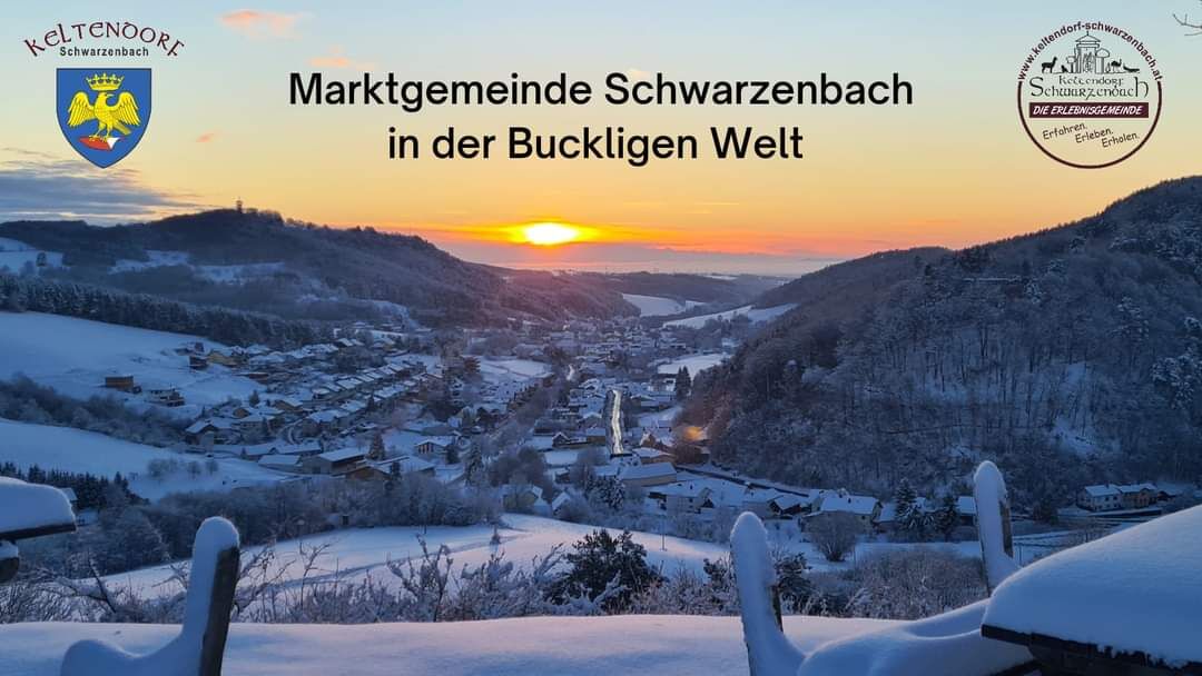
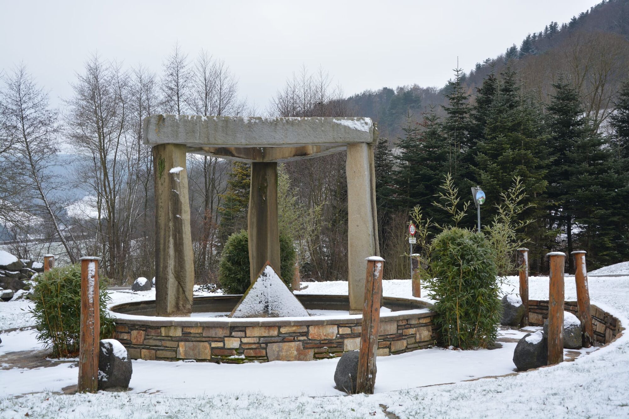
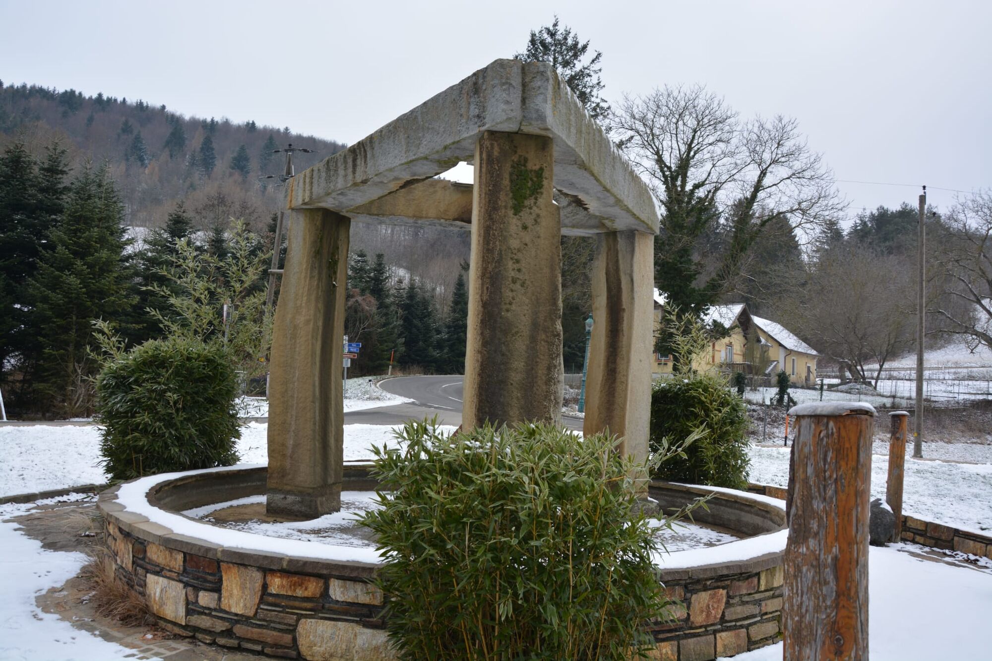

Starting at the Keltenpark, the hike passes by the inn Mößner-Karner, the Bernhart restaurant, and the sports field. Just before the inn Zum Kirchenwirt, turn left and go uphill until you reach the children's playground. Here the children can let off steam – even in winter. Above the playground is the entrance to the forest and bird nature trail. A small circular walk through the idyllic woodland offers insights into the local flora and fauna. After about 10 minutes of walking, you reach the upper point, rewarded with a beautiful view, seating, and a goat enclosure.
After a short rest, go back down the forest path and turn right at the playground. This path leads through a settlement down to the main road and back to the Keltenpark at the village entrance.
Da
Always take suitable maps with you. Wear sturdy shoes appropriate for the route, bring sun and rain protection, as well as water and a small snack. Take your mobile phone with you and save the mountain rescue emergency number: 140
Don't forget a head covering and gloves, and avoid hypothermia at all costs!
Your hikes in the Vienna Alps should be a thoroughly enjoyable and safe experience. Please keep the following in mind:
Preparation
Make sure the route you choose matches your mountain experience and fitness. Check the weather forecast beforehand. Weather in the mountains can change unexpectedly quickly. Always start out properly equipped (e.g., rain protection). Check whether the huts and snack stations you want to visit along the way are open. Inform someone about your chosen route and your planned return before you start.
You can find more safety tips for your hike here.
Attention, this hiking trail goes through the forest, is not cleared in case of snow and can have slippery spots. Use is at your own risk. Pay attention to early dusk and plan your route carefully. Drink enough water even in winter.
Coming from Vienna: A2 towards Graz, exit Krumbach, at the "Weißes Kreuz" intersection (former inn) turn left, continue to Hollenthon and Wiesmath, in Wiesmath turn right after the town hall onto "Höllstraße". Follow the road to the T-junction. There you will find the Keltenpark. Turn right and follow the road to the desired point.
Coming from Graz: A2 towards Vienna, exit Grimmenstein, turn left towards Warth and Scheiblingkirchen, turn right after Spar, cross the bridge, follow the road, pass through Innerschildgraben, turn left at the restaurant Thaler in Thernberg and continue on Brombergerstraße, turn right at the T-junction, then left at the next T-junction. Continue to Hochwolkersdorf, at the village T-junction turn right and then left. Follow Schwarzenbachstraße, keep left after the hairpin bends and follow the road to the desired point.
More information can be found at www.oebb.at and www.vor.at
Parking spaces available in the village
Vienna Alps in Lower Austria, www.wieneralpen.at, +43 / 2622 / 78960
Opening hours: Mon - Thu 08:30 - 16:00 / Fri 08:30 - 13:00
Refreshments:
Cafe Restaurant Mößner-Karner
Zum Kirchenwirt
Wirtshausbühne Bernhart
Most wia z’Haus - Family Mössner
Das Turmcafé (winter break)
Other:
Johann Giefing Viewing Tower
Keltenberg
Pridobite vpogled
Vedno v živo na mestu z več kot 9.500 spletnimi kamerami. bergfex Kot uporabnik Pro si lahko zdaj ogledate ustrezne spletne kamere za številne izlete v aplikaciji izleti iz. Tako si lahko neposredno ogledate trenutne razmere.
Priljubljeni izleti v okolici
-
4.6
B32 Rosalia Bicycle Trail
srednjaKolesarjenje 58.8 km -
4.6
Naturlehrpfad Katzelsdorf
svetlobaPohodništvo 3.81 km -
4.5
To the Wiesen/Lanzenkirchen observation tower from the Rosalia
svetlobaPohodništvo 4.25 km -
4.6
Gespitzter Riegel - Bad Sauerbrunn
svetlobaPohodništvo 8.85 km -
4.6
M32 On the Gspitzter Riegel from Bad Sauerbrunn
srednjaPohodništvo 8.73 km -
4.6
Forchtenstein-Rosalienkapelle
svetlobaPohodništvo 7.86 km -
4.0
Rosalia: Lanzenkirchen - Aussichtsturm
svetlobaPohodništvo 11.1 km -
4.6
B30 Kogel Bike Trail
srednjaKolesarjenje 32.0 km -
4.2
MTB Buma Bia - route
težkoMountainbike 25.5 km -
2.9
Sonnenland Draisinentour
svetlobaKolesarjenje 23.0 km
Pohodništvo in sledenje


Ne zamudite ponudb in navdiha za naslednje počitnice
Vaš e-poštni naslov je bil dodan na poštni seznam.





