







Ötscher - Rauher Kamm
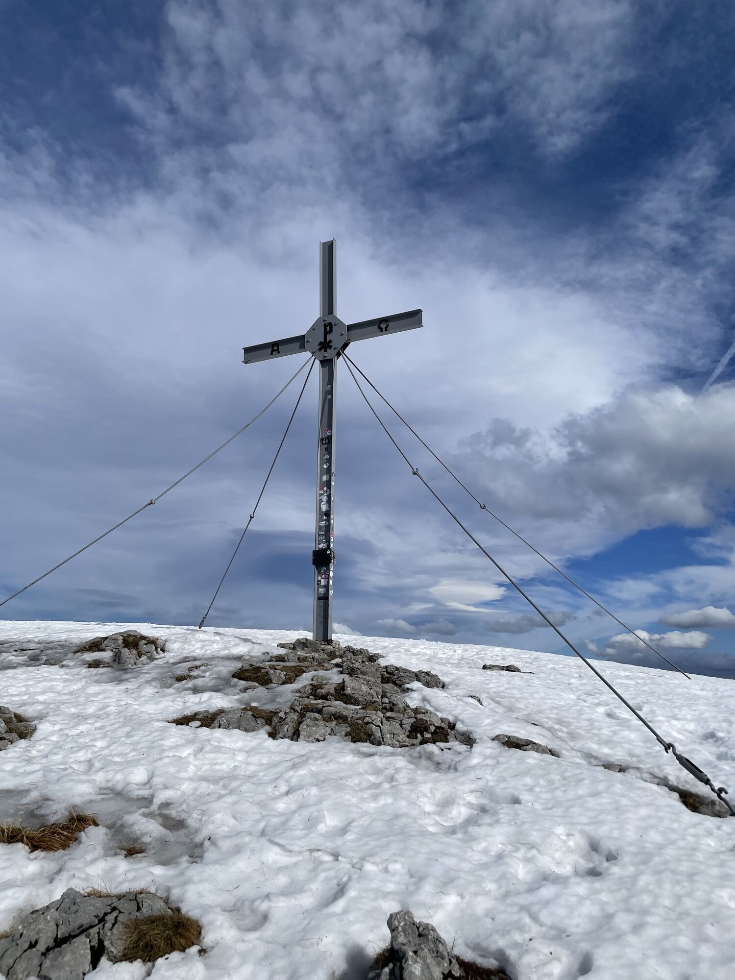
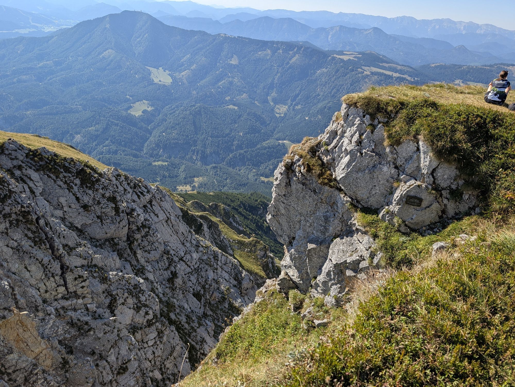
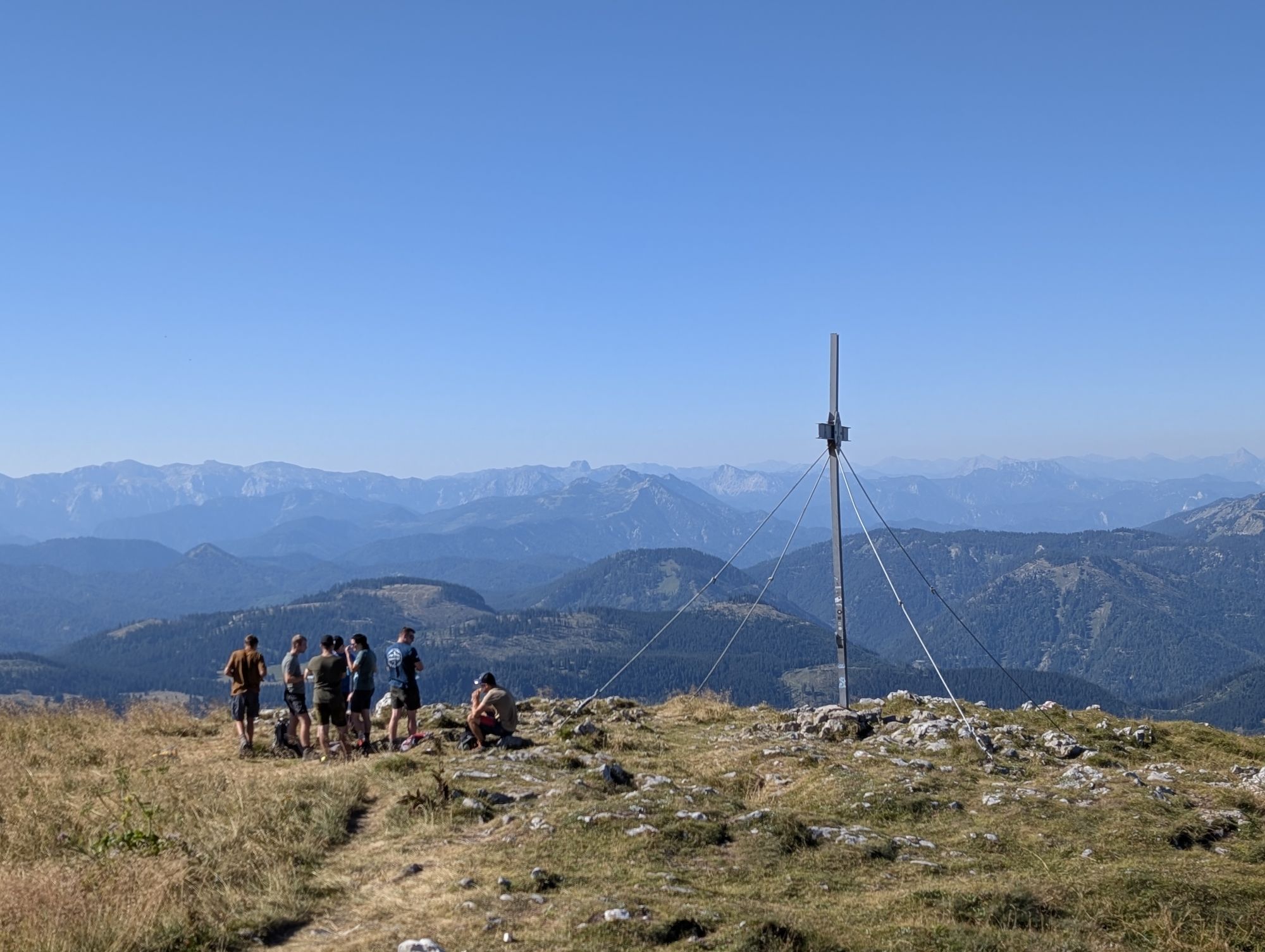
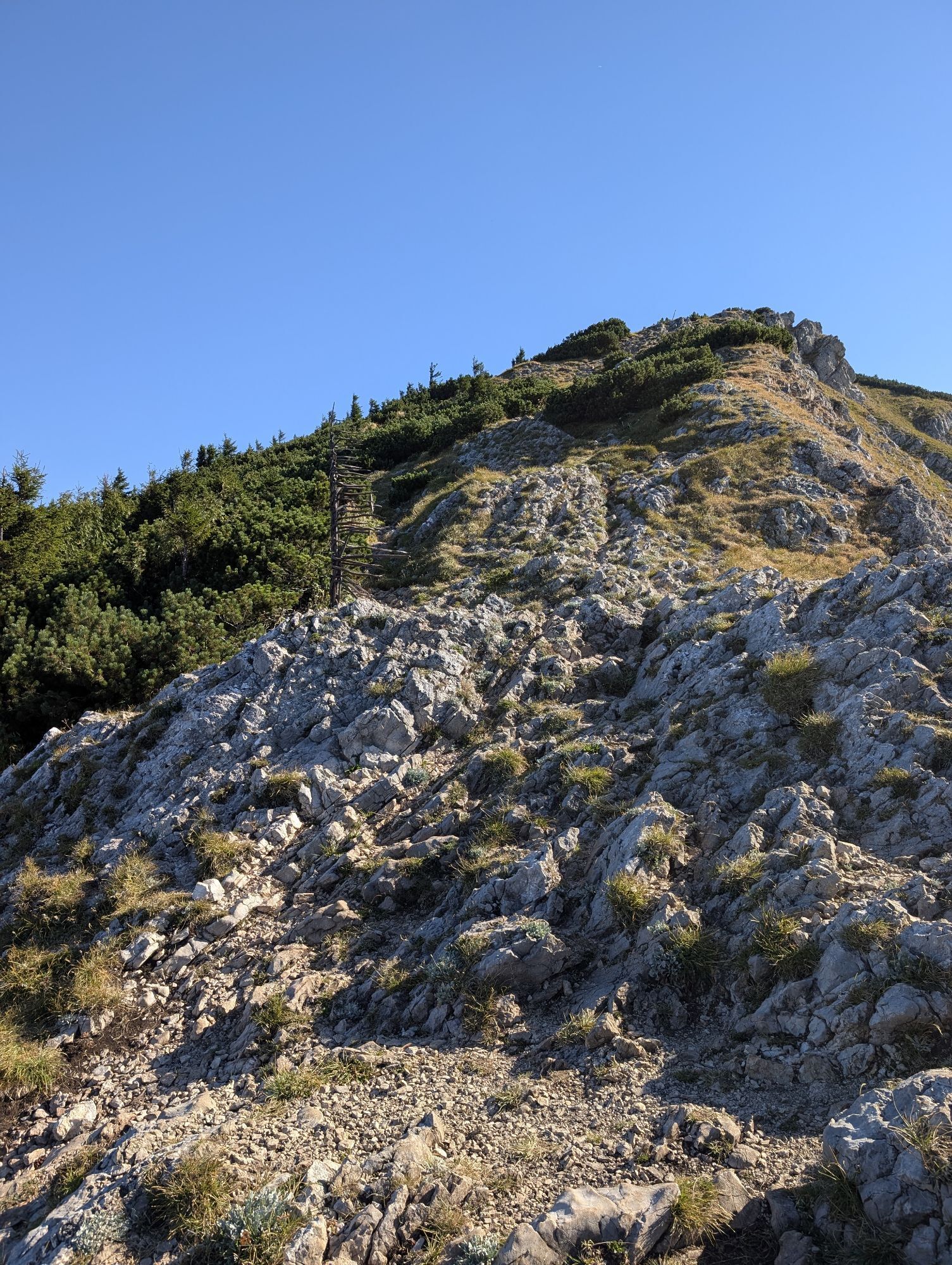
For German click here: http://www.bergfex.at/sommer/niederoesterreich/touren/wanderung/92374,oetscher-rauher-kamm/ Start of this tour is at the valley-station of the double chairlift "Großer Ötscher"....
For German click here:
www.bergfex.at/sommer/niederoesterrei...
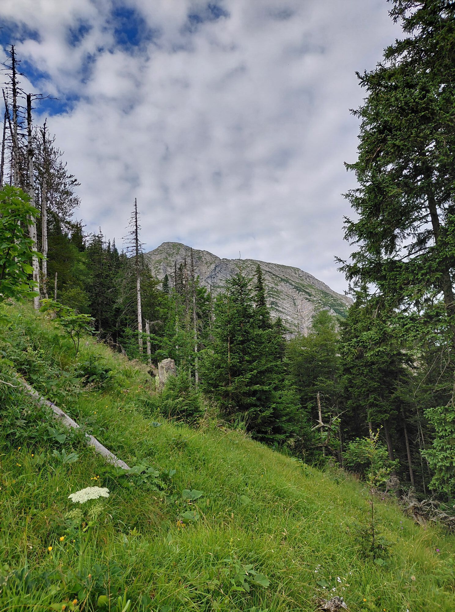
Start of this tour is at the valley-station of the double chairlift "Großer Ötscher". You will see a yellow signpost right next to a restaurant. Follow it to the direction "Ötscher über Rauher Kamm". The trail bends left right behind the restaurant, leads through forested terrain, eventually to an asphalted road. Turn right there and walk past "Ötscherwiese" meadow. After some 2km you will reach the small village Raneck. There take the most right graveled road until you reach another signpost after an additional 3km, where the alpine path begins on the right hand side.
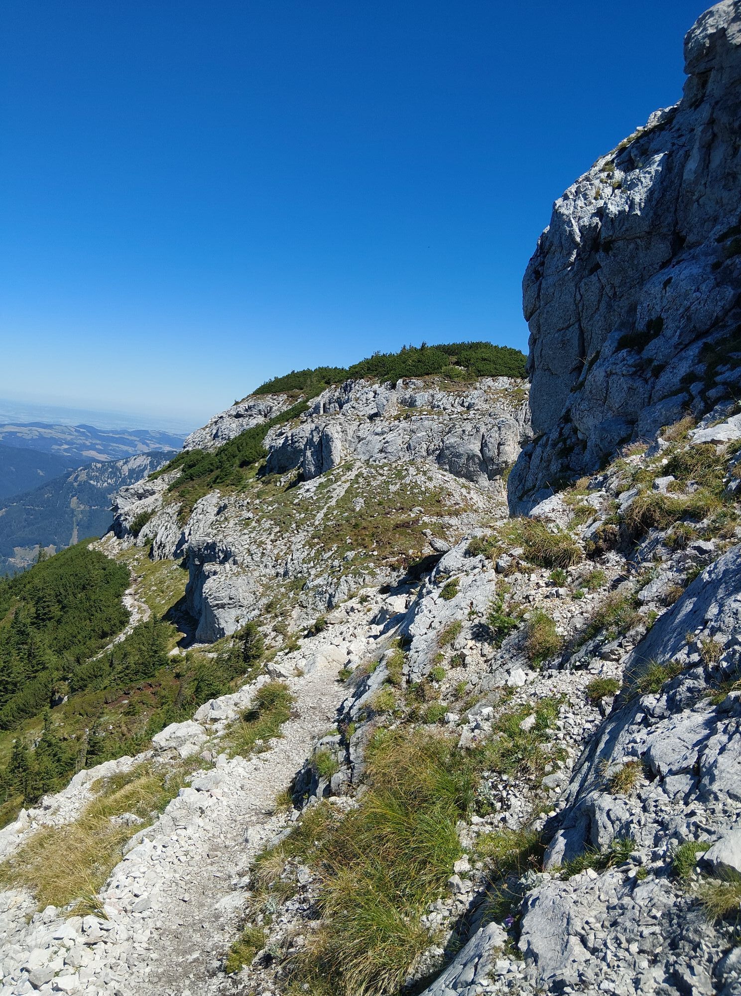
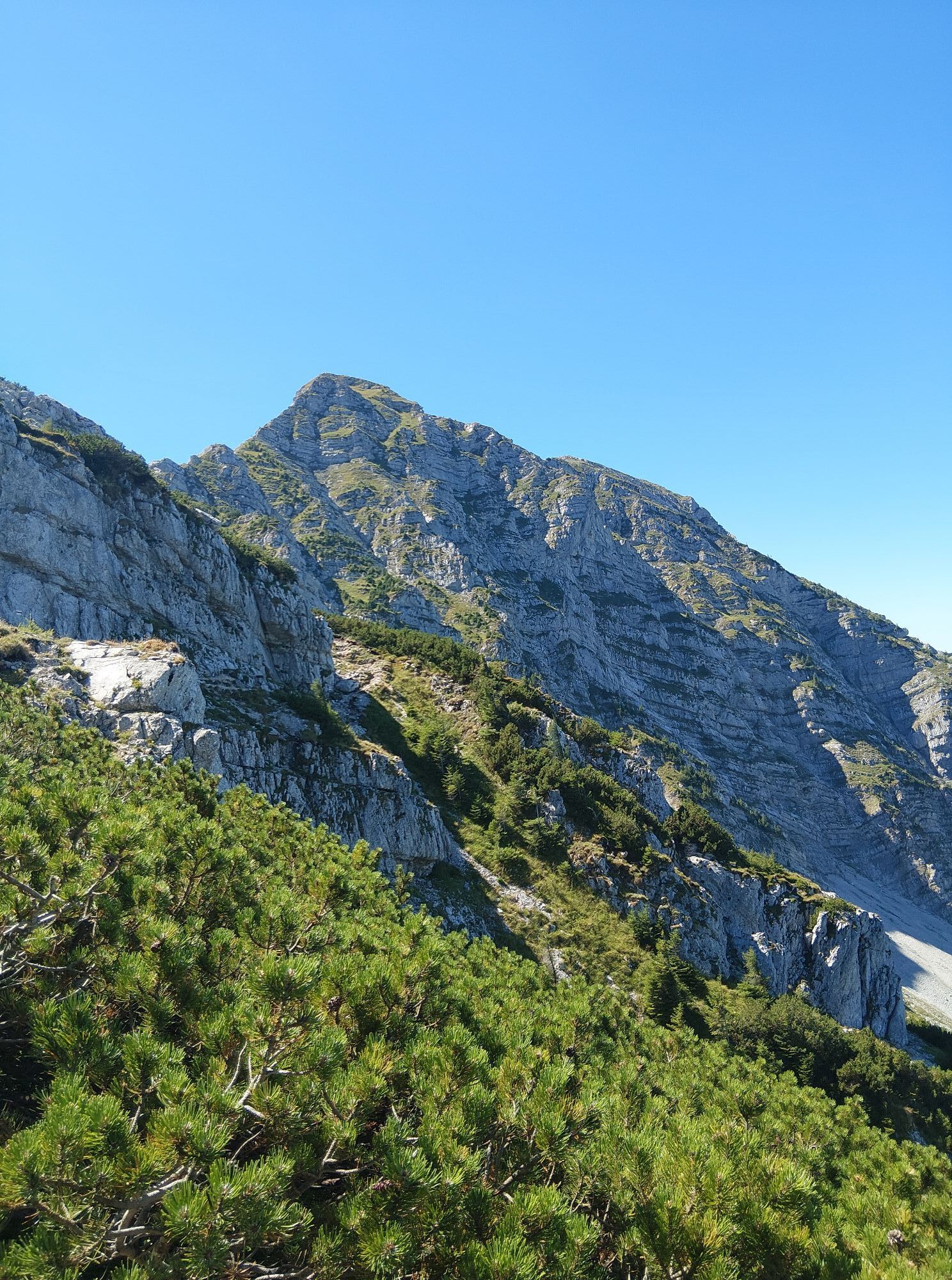
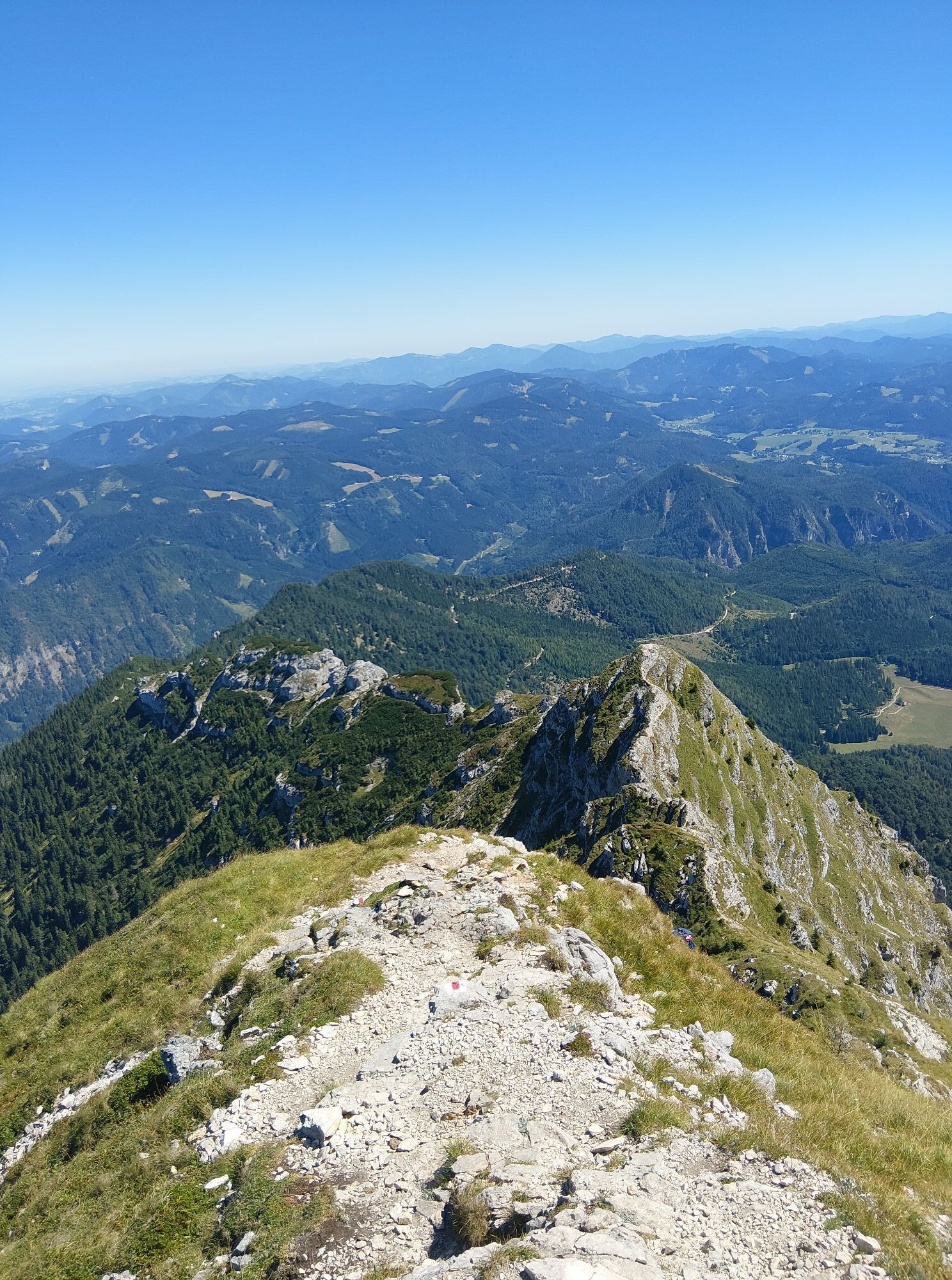
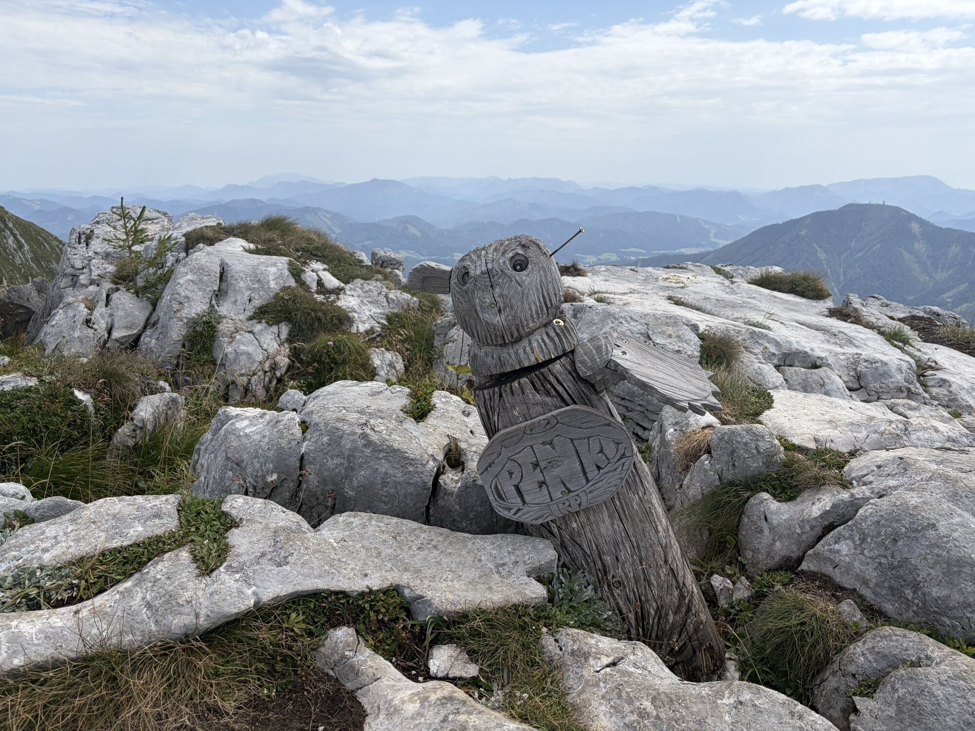
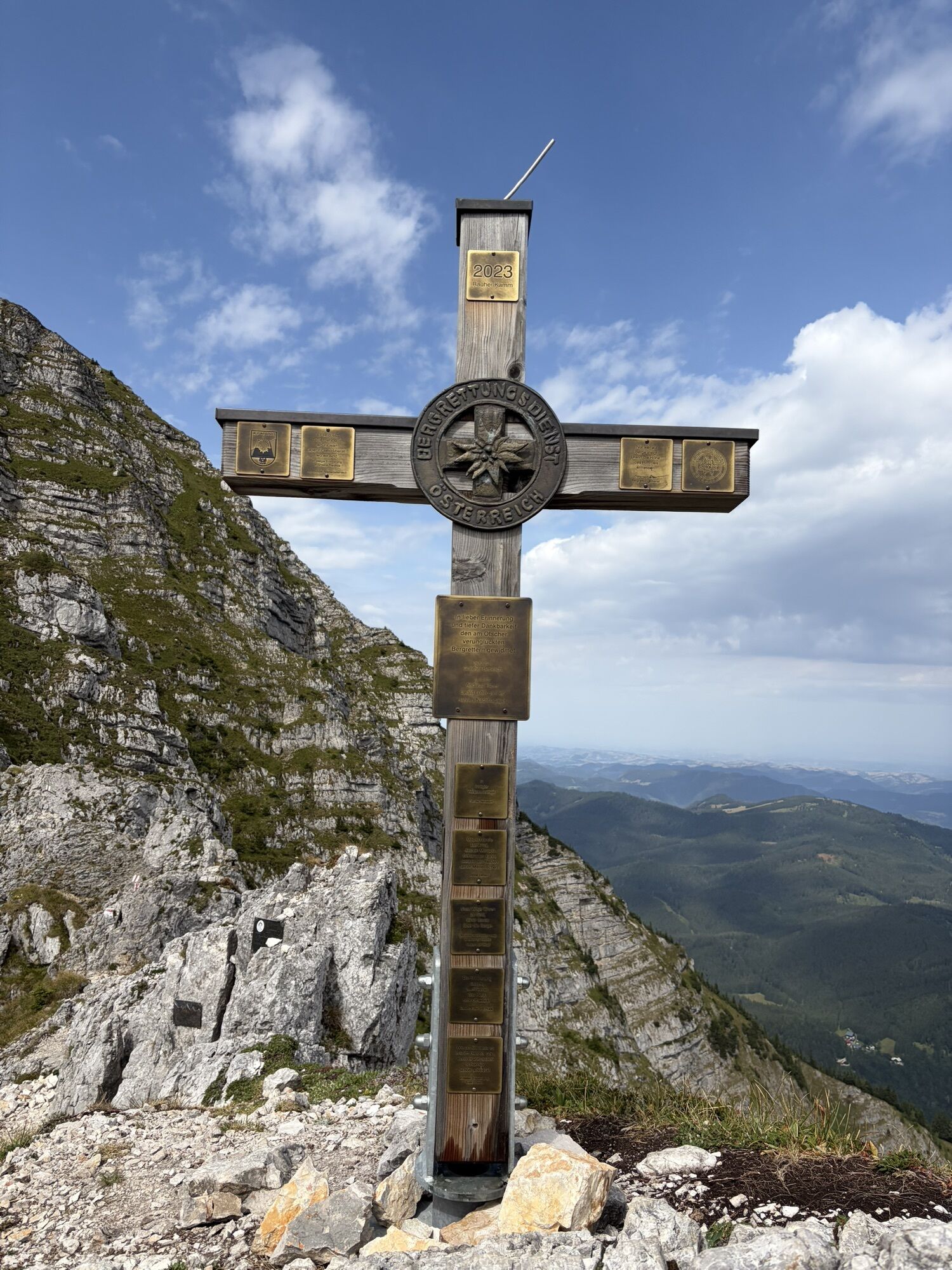
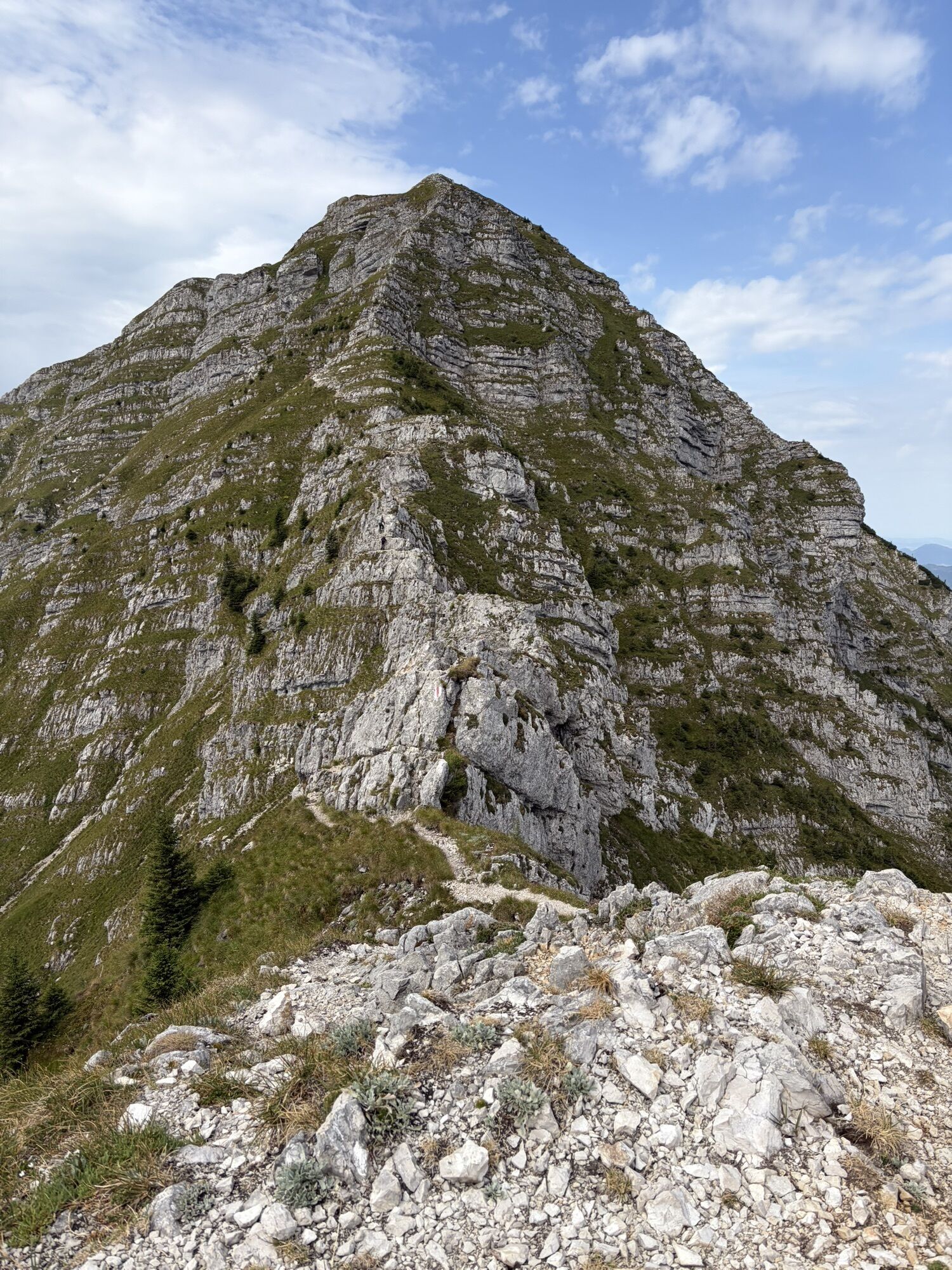
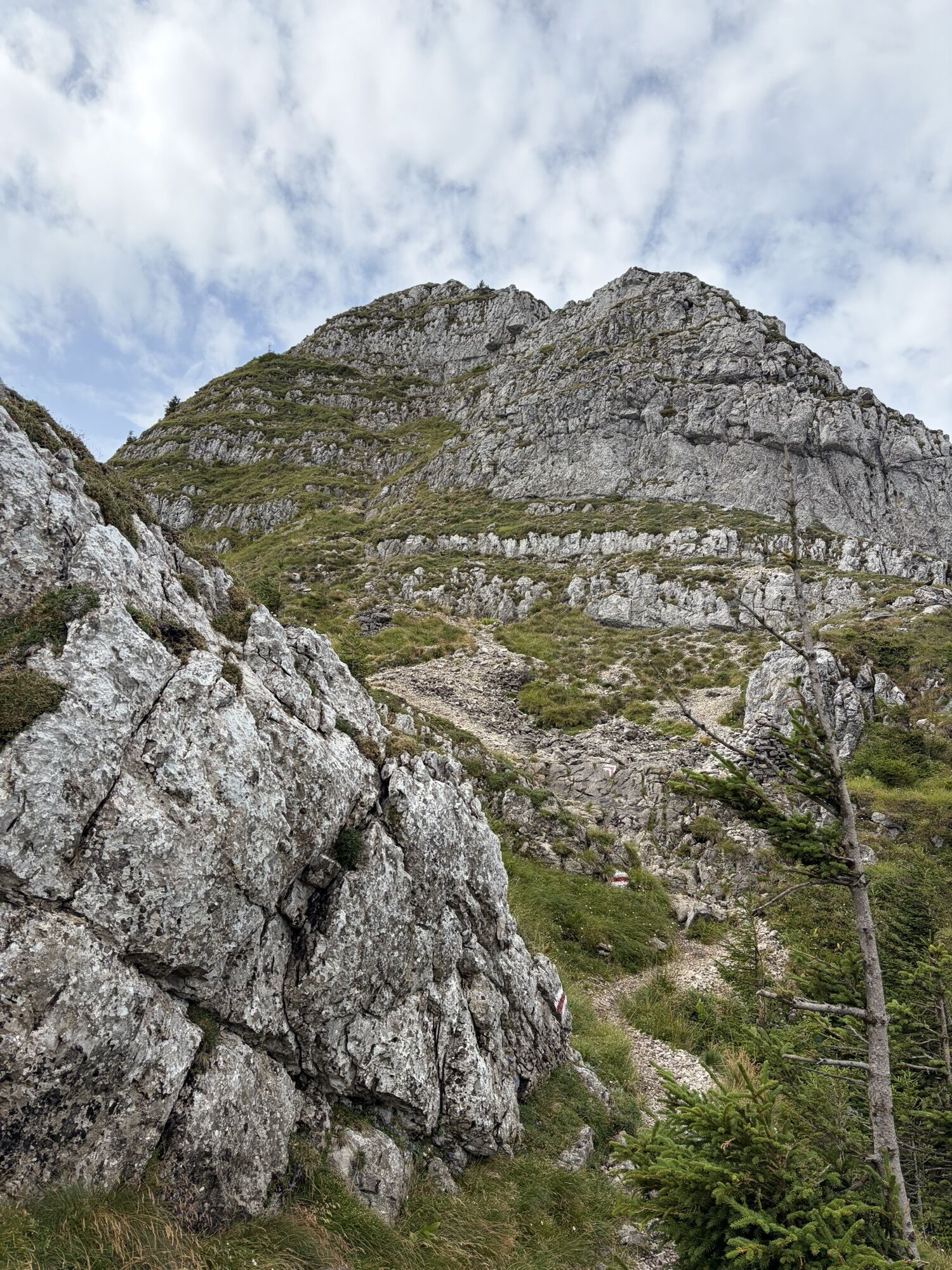
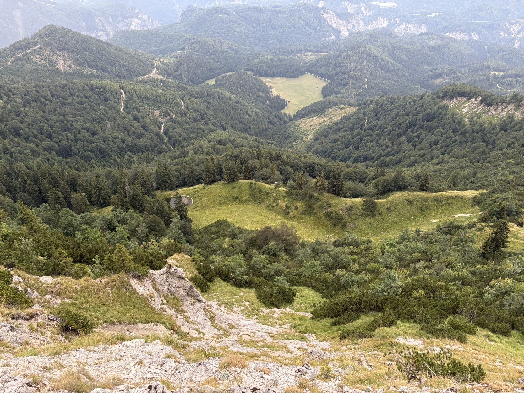
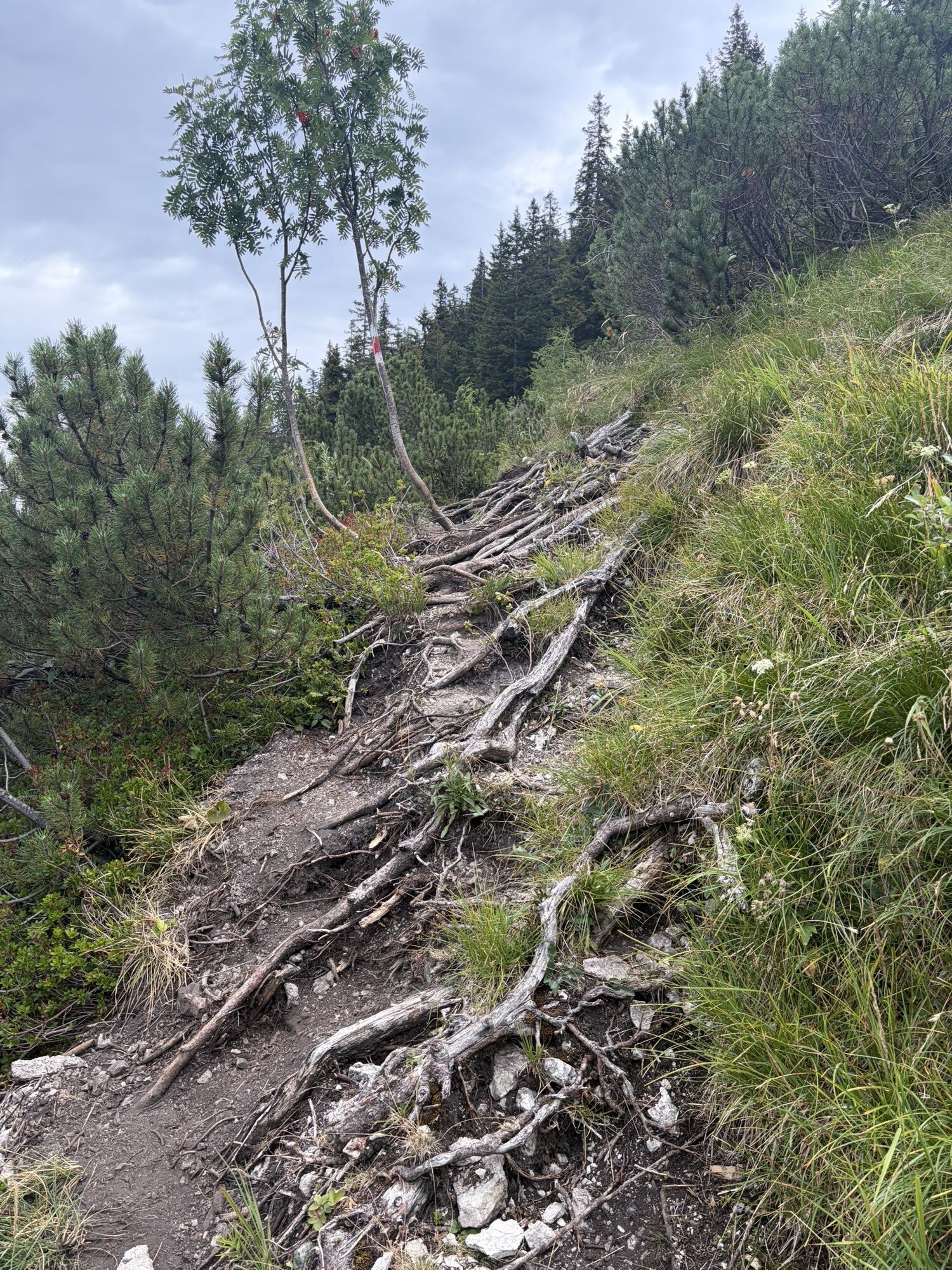
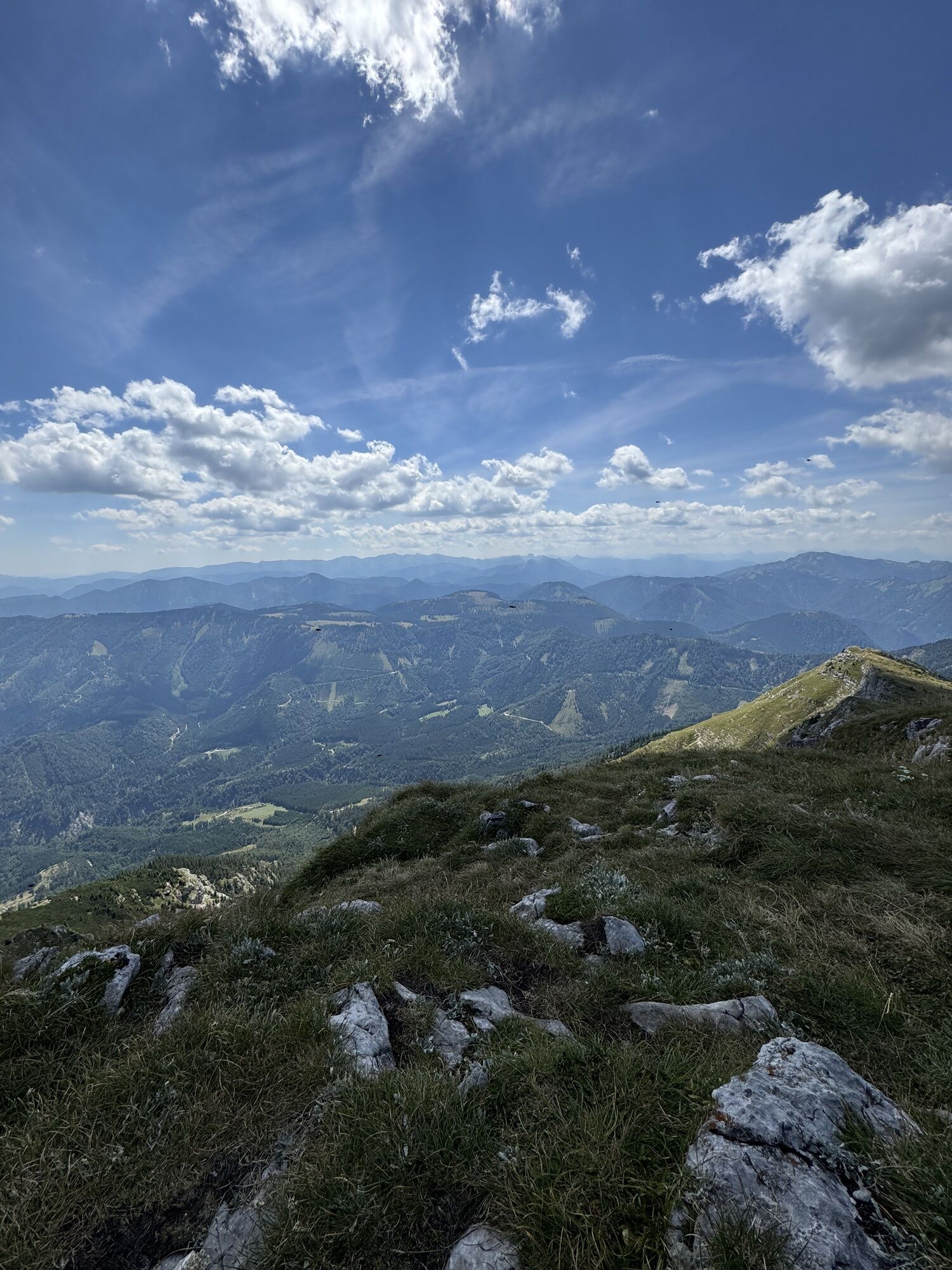
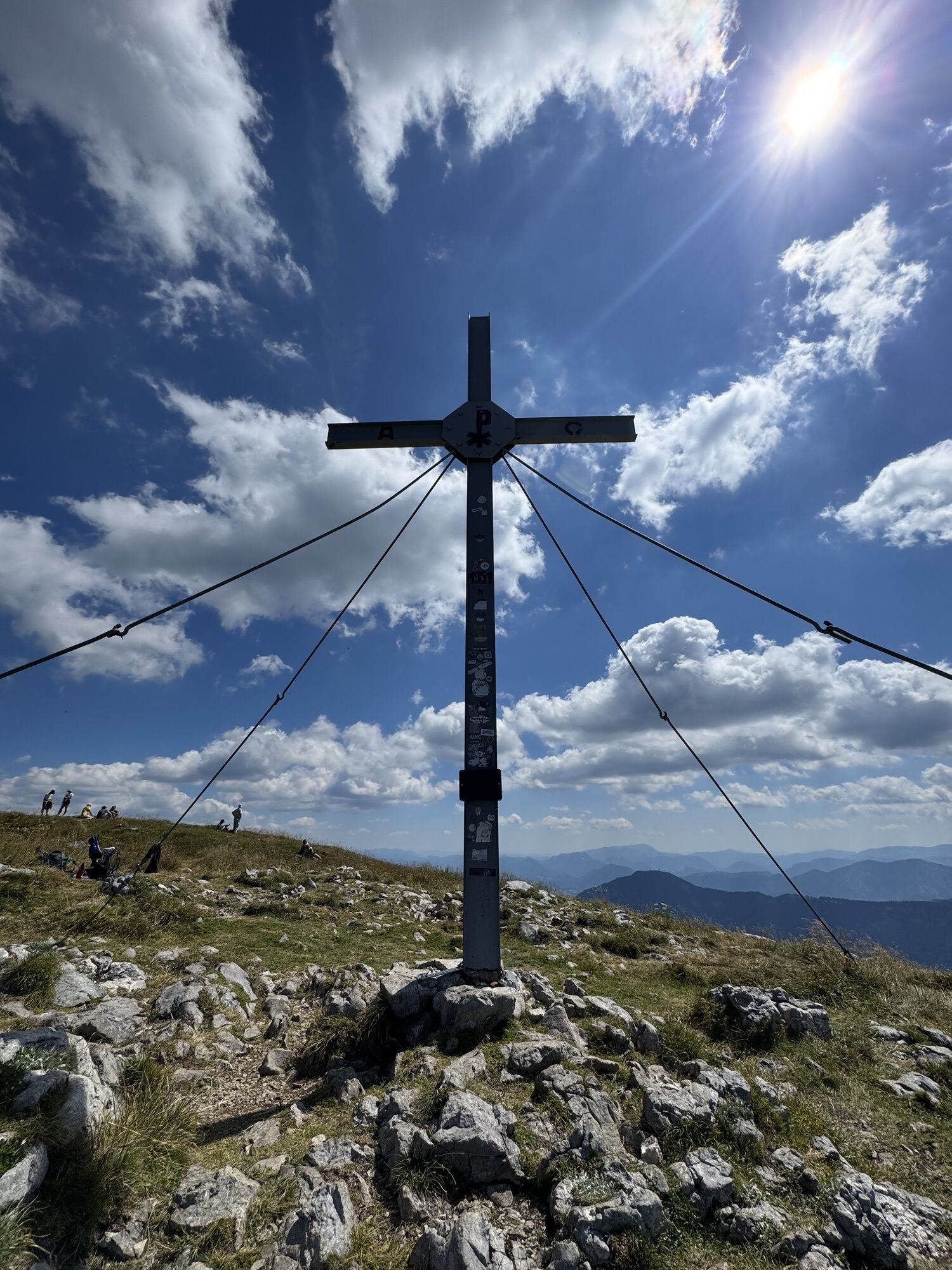
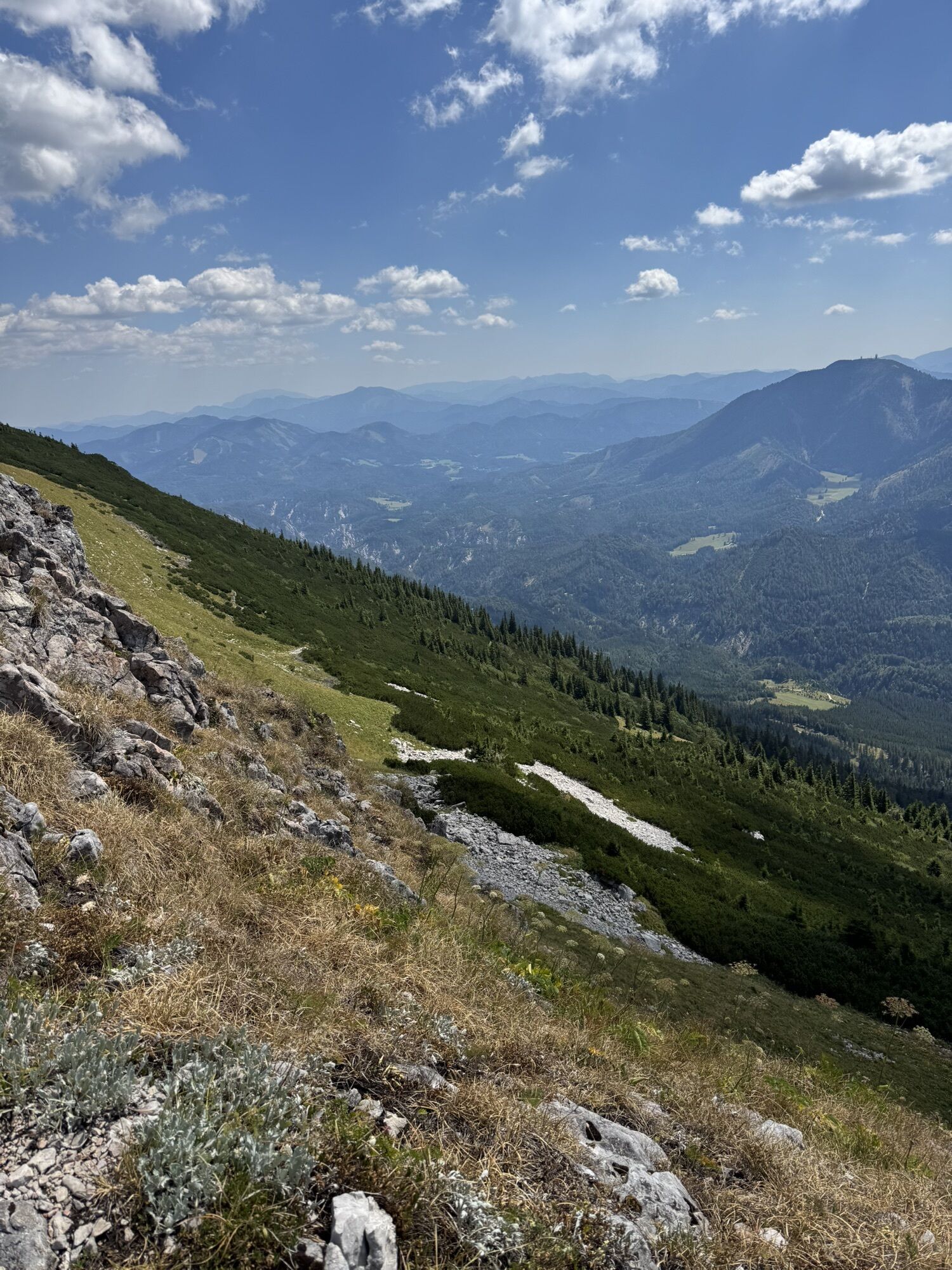
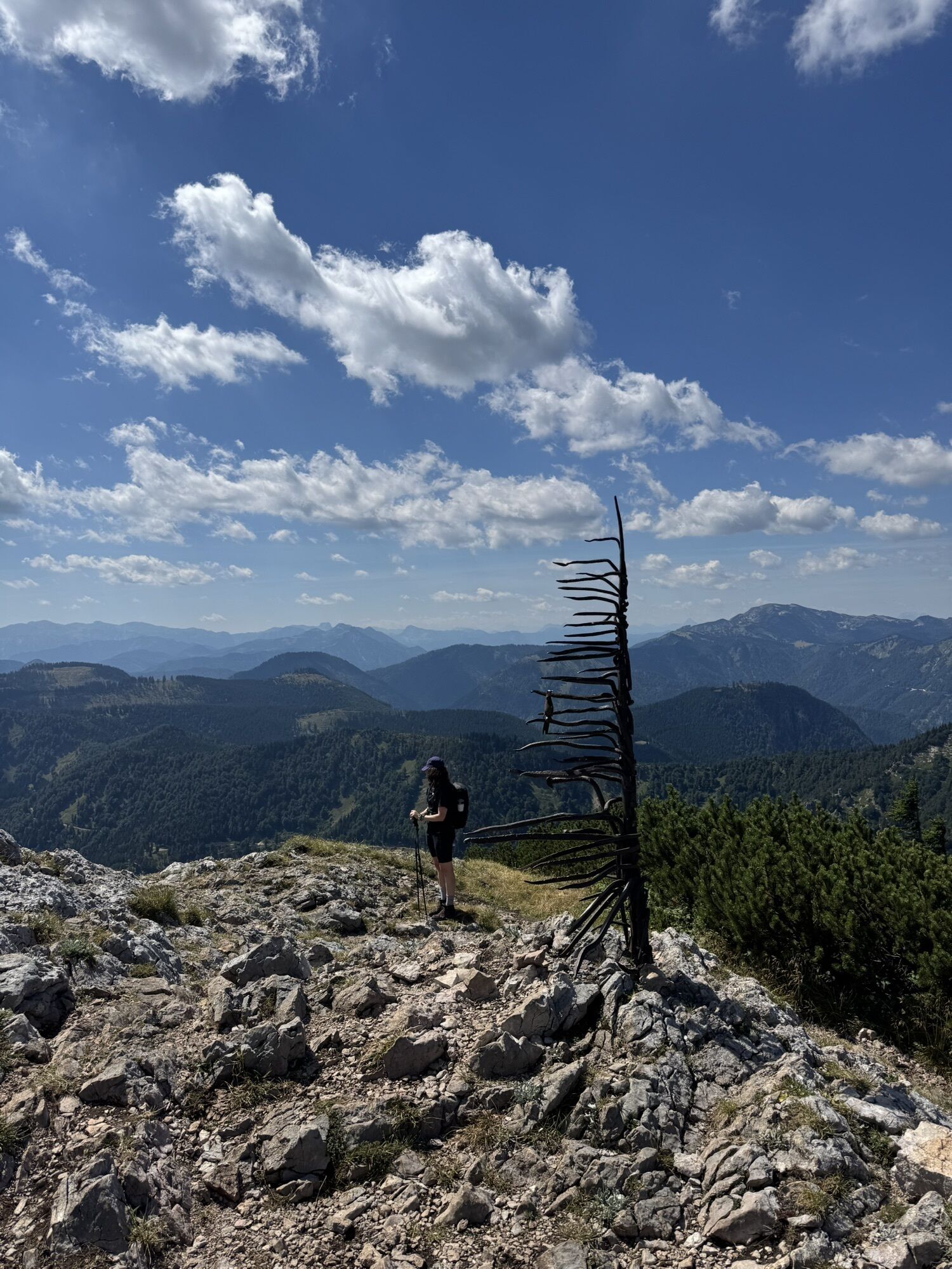
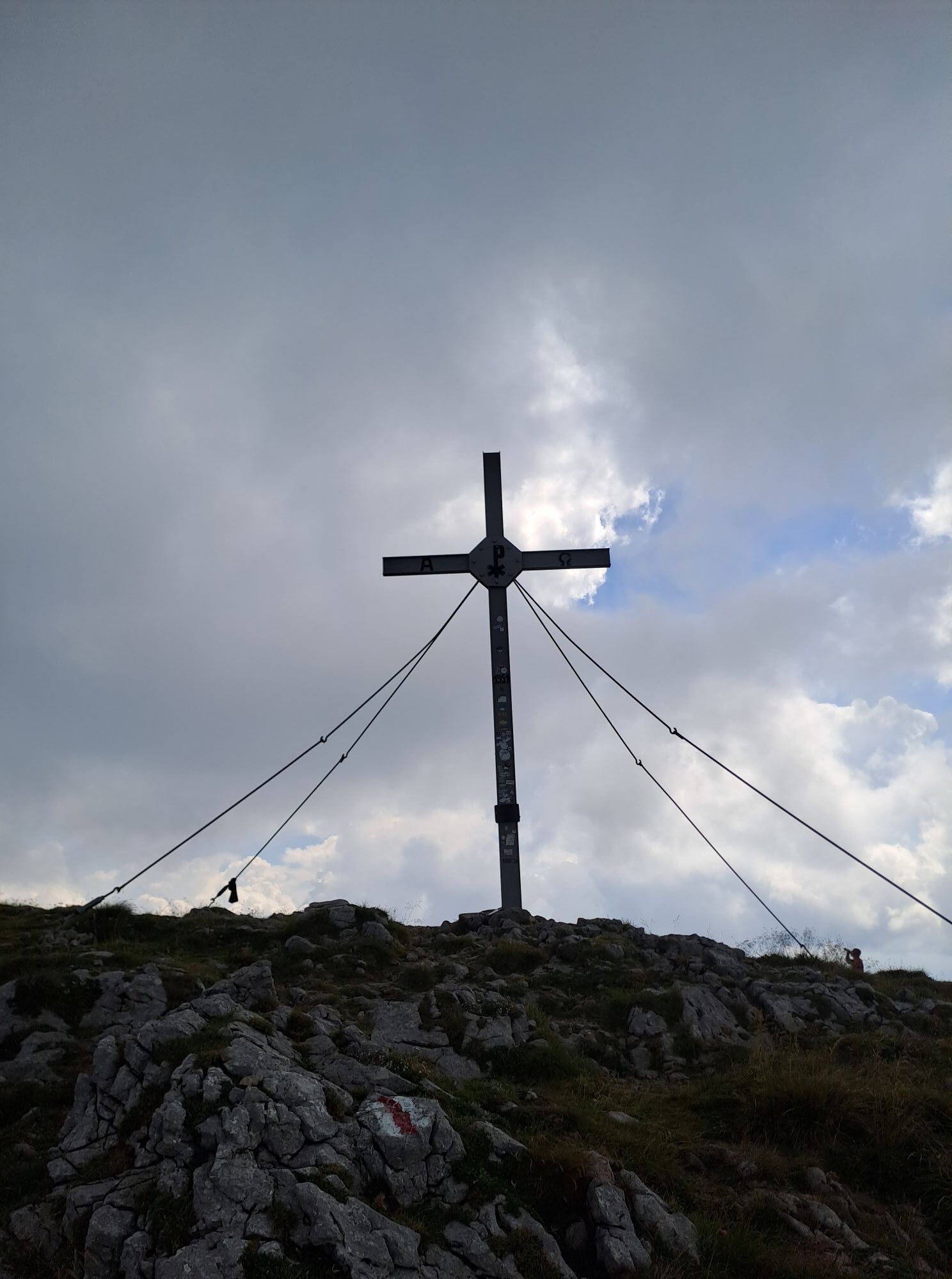
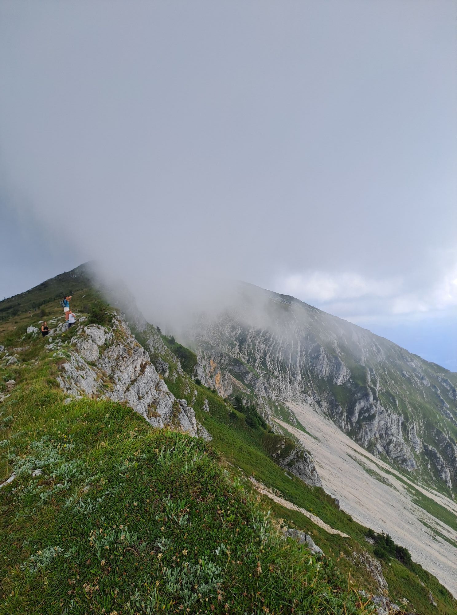
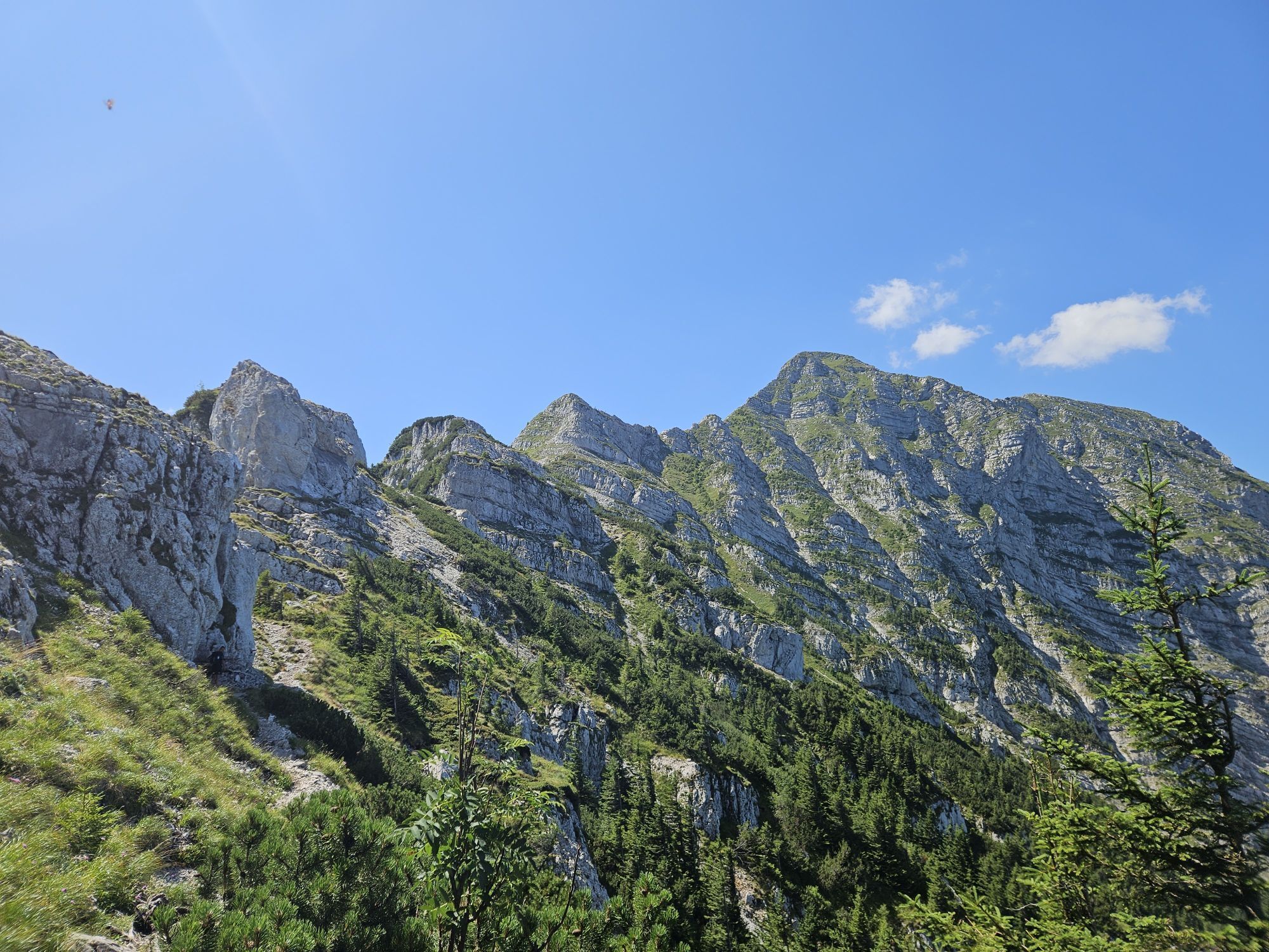
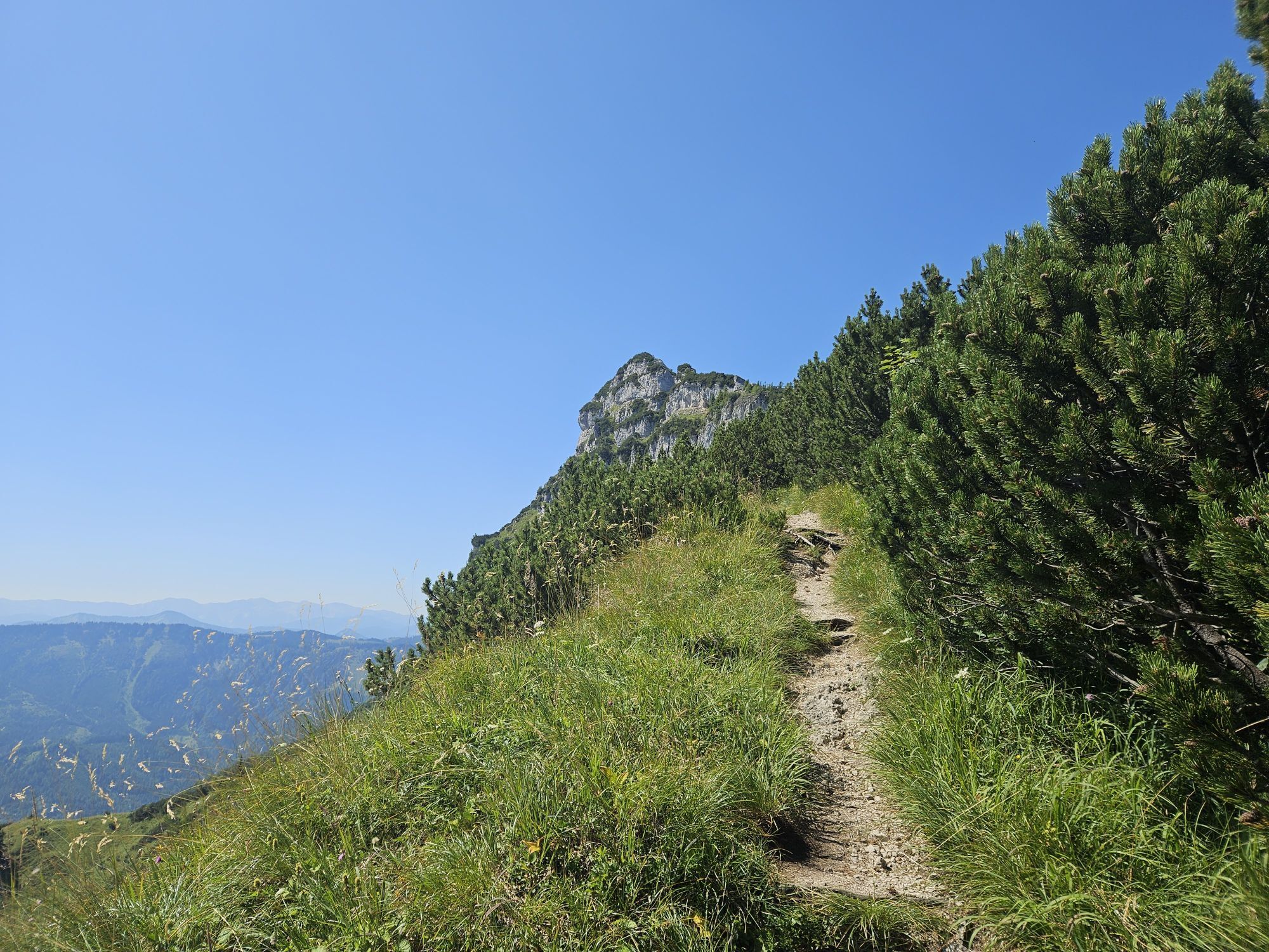
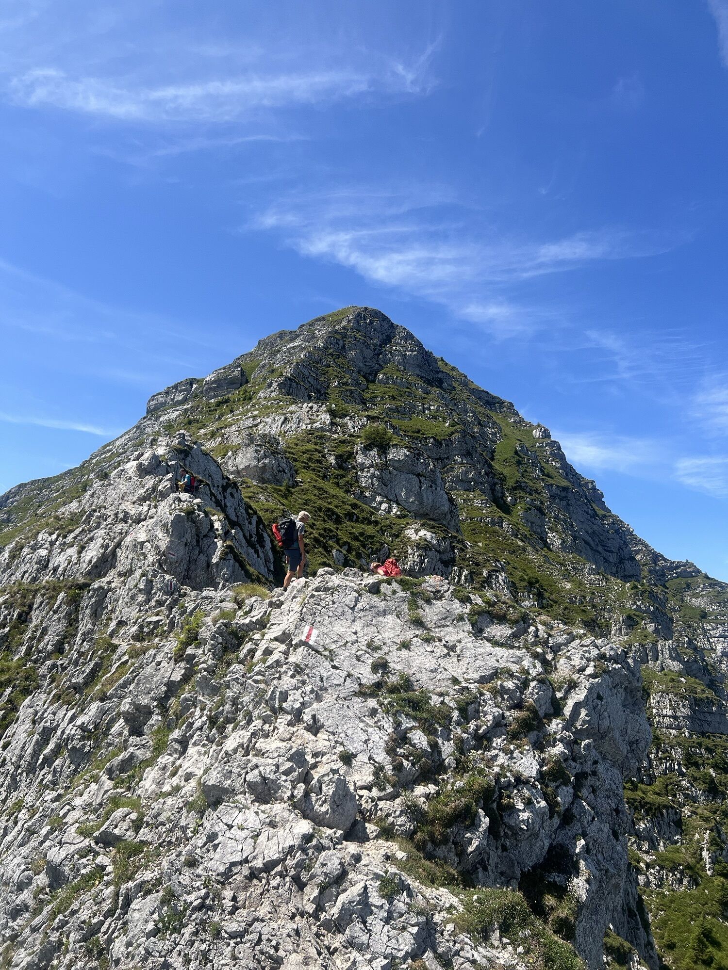
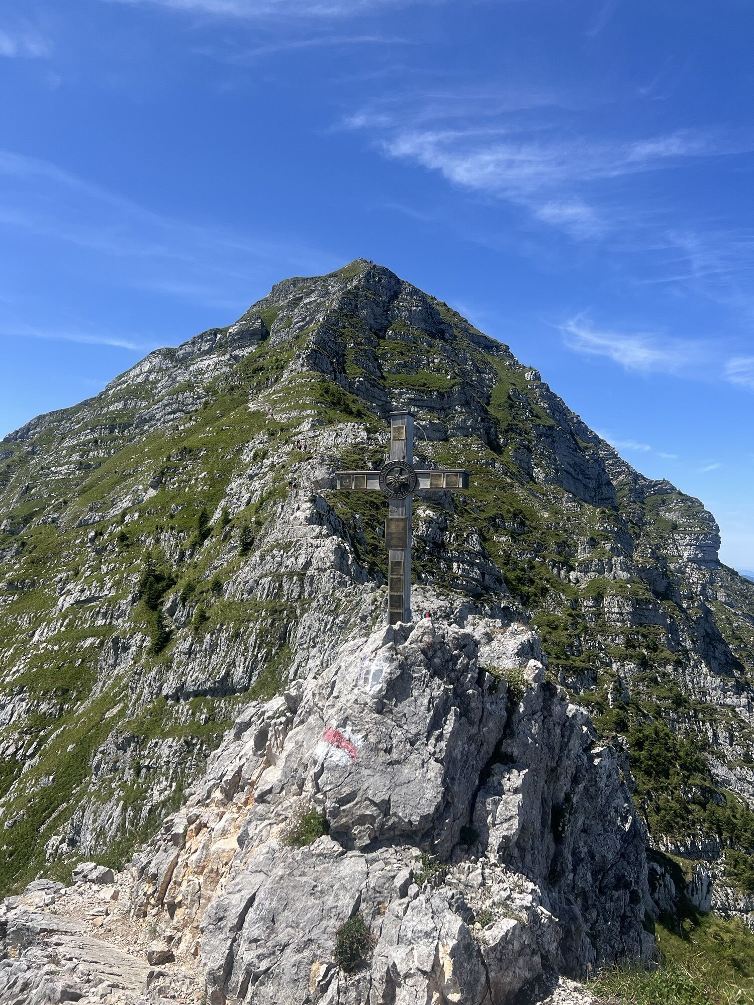
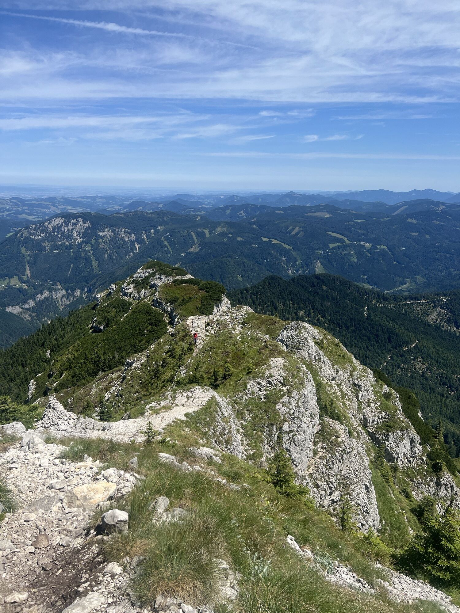
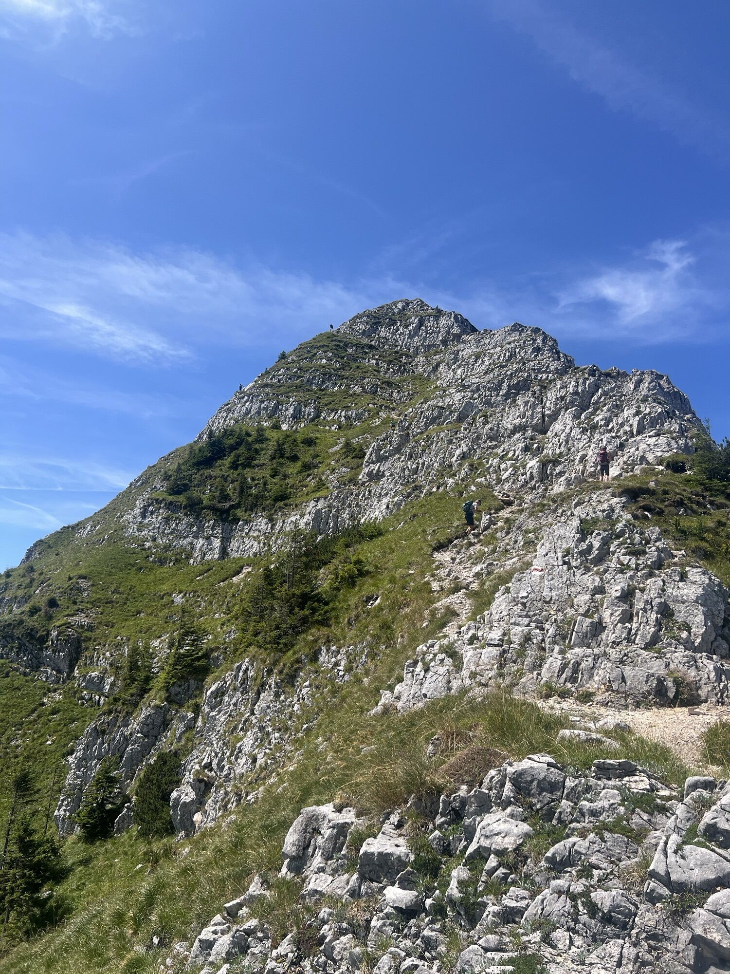
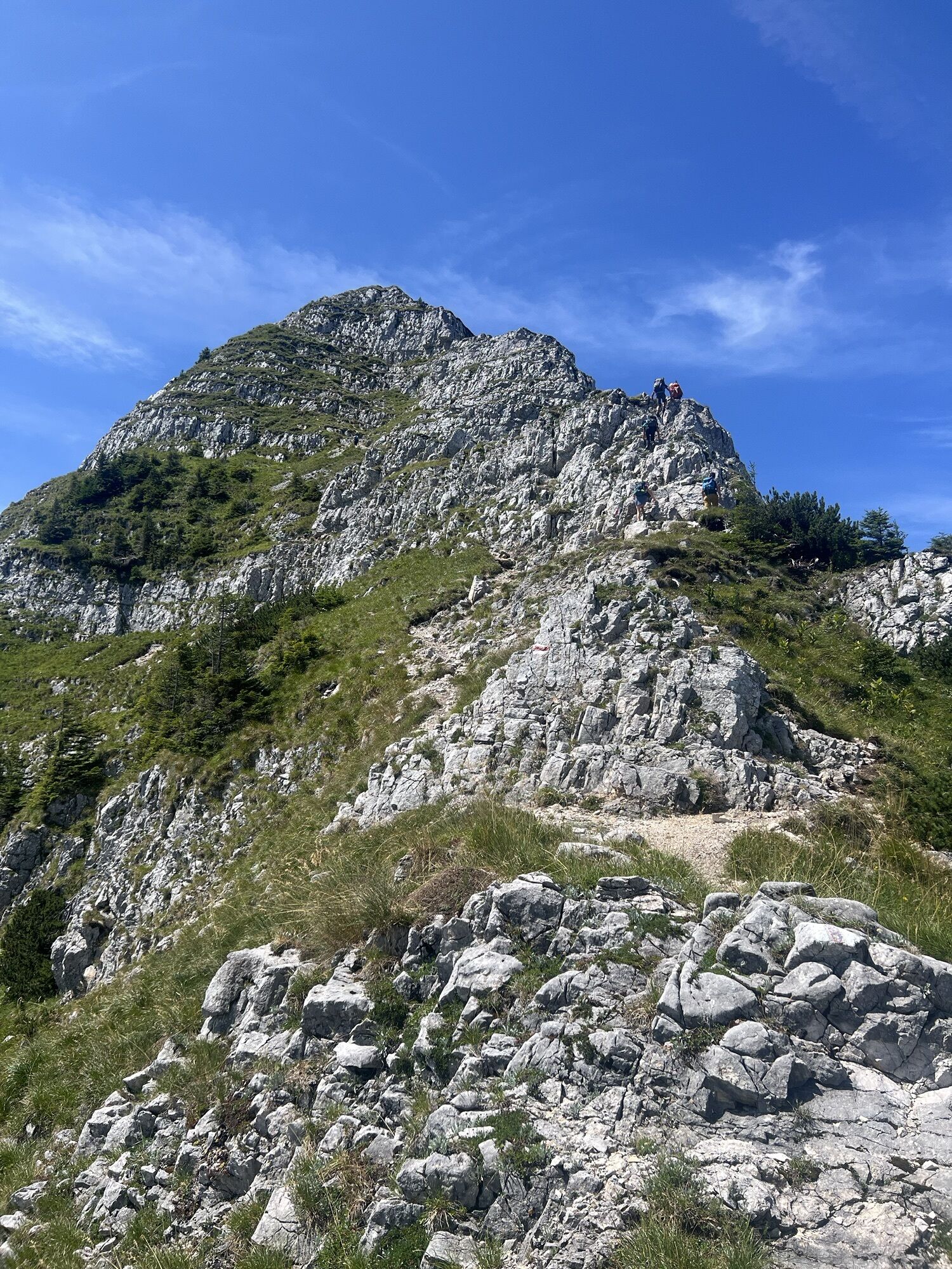
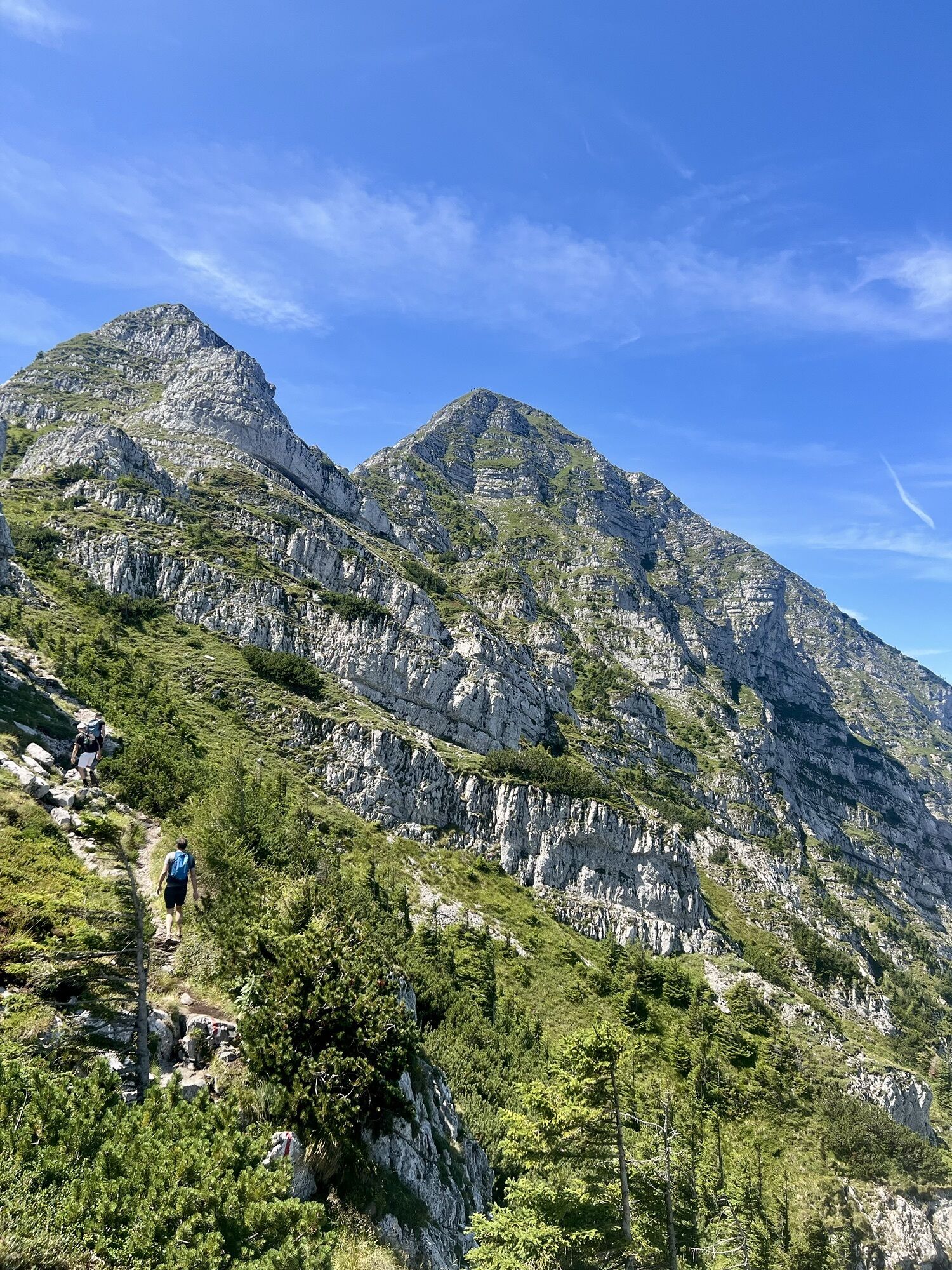
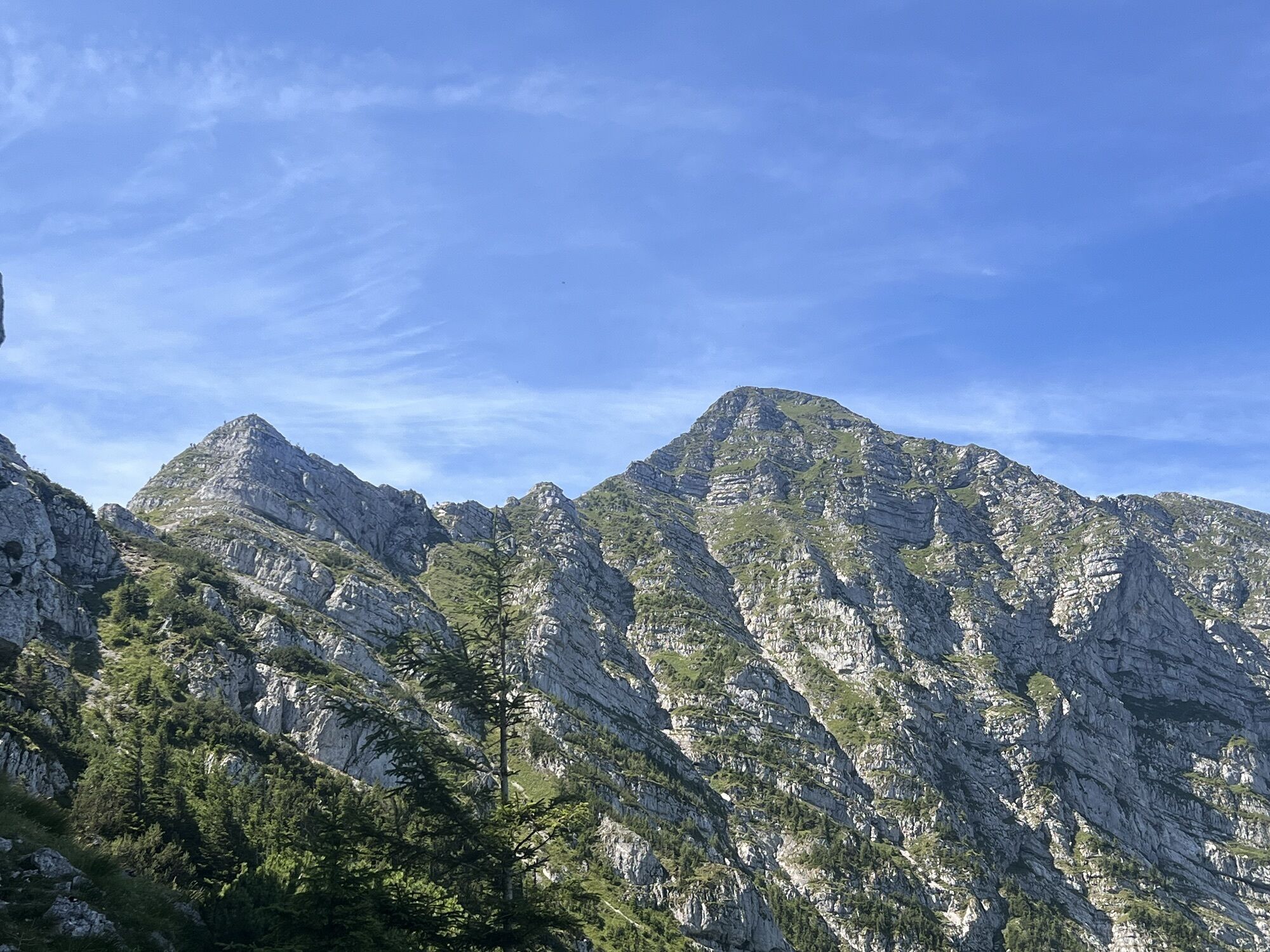
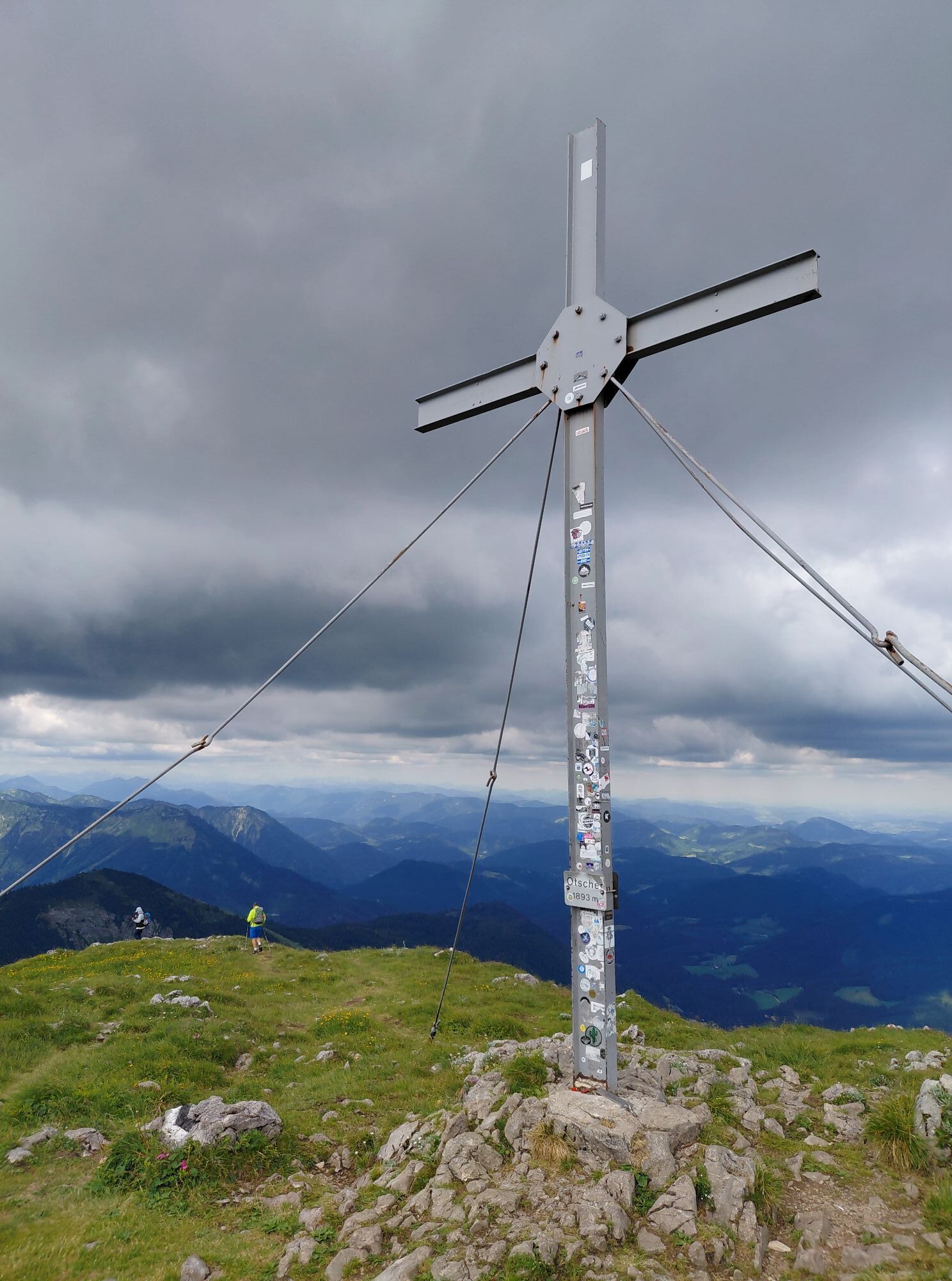
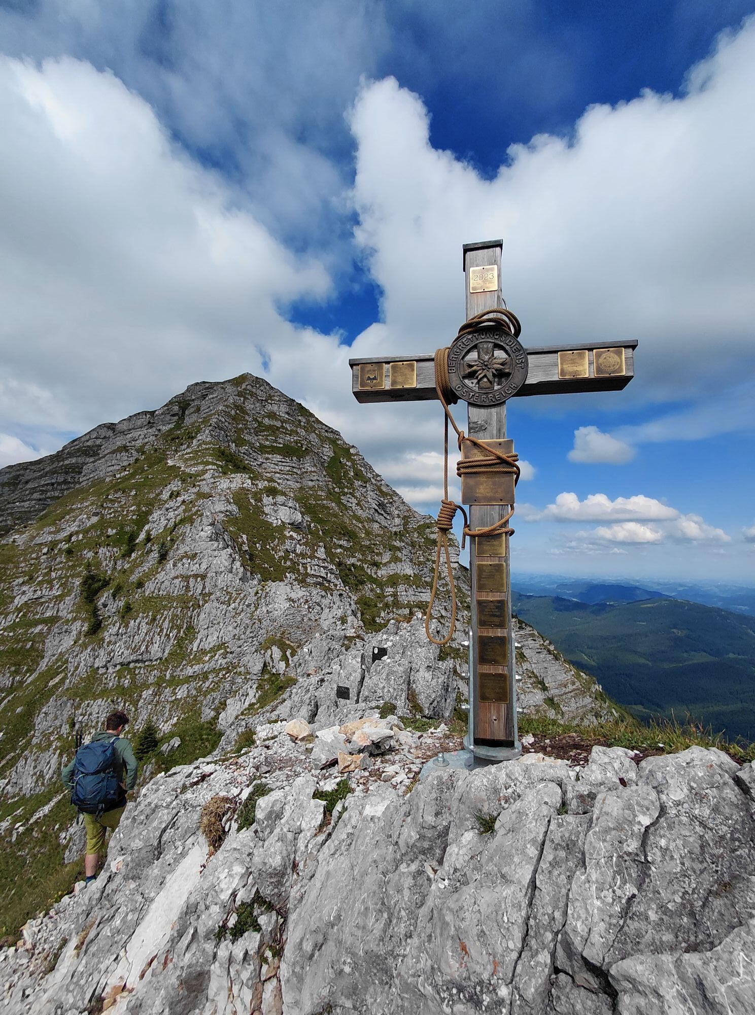
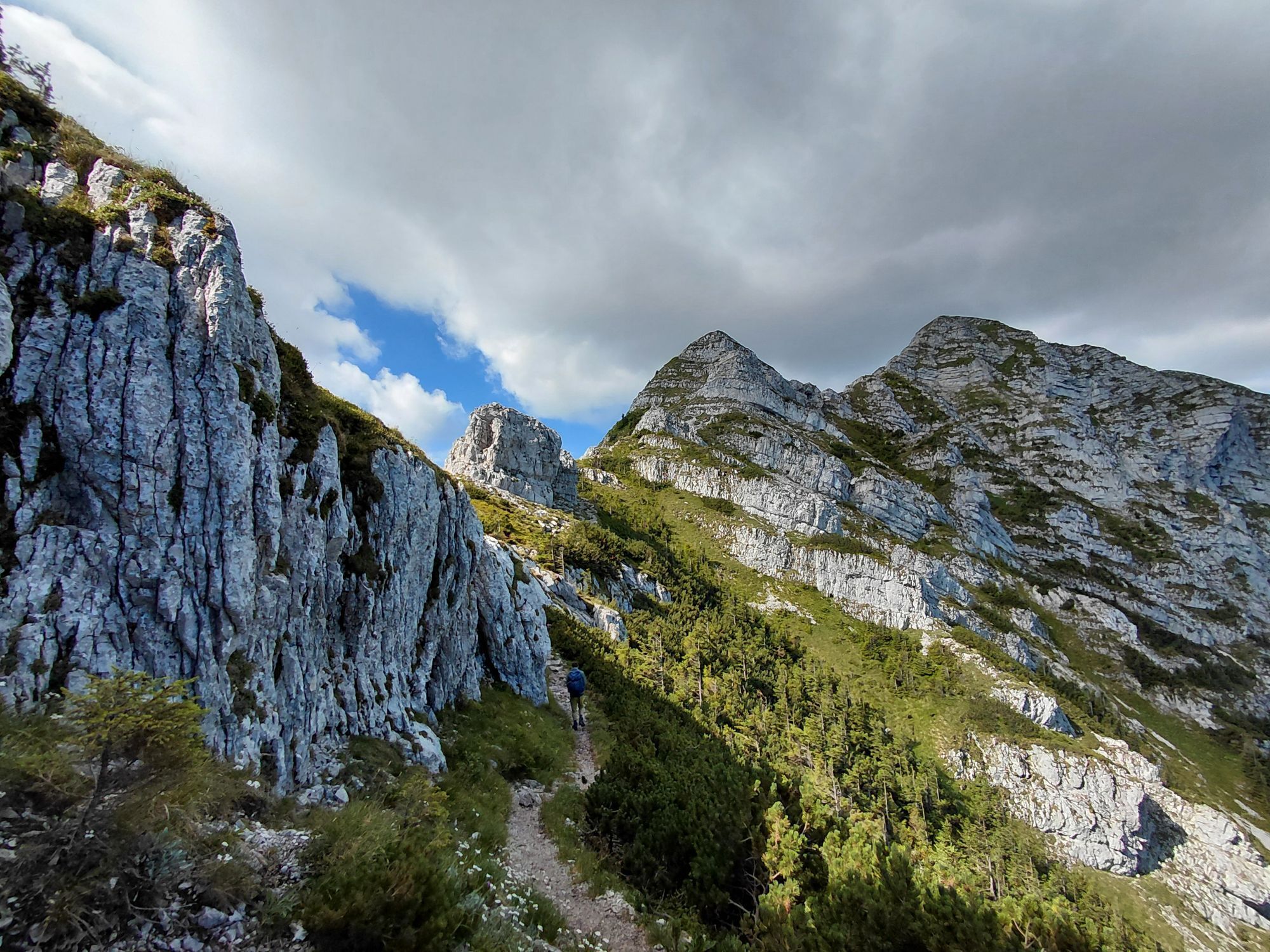
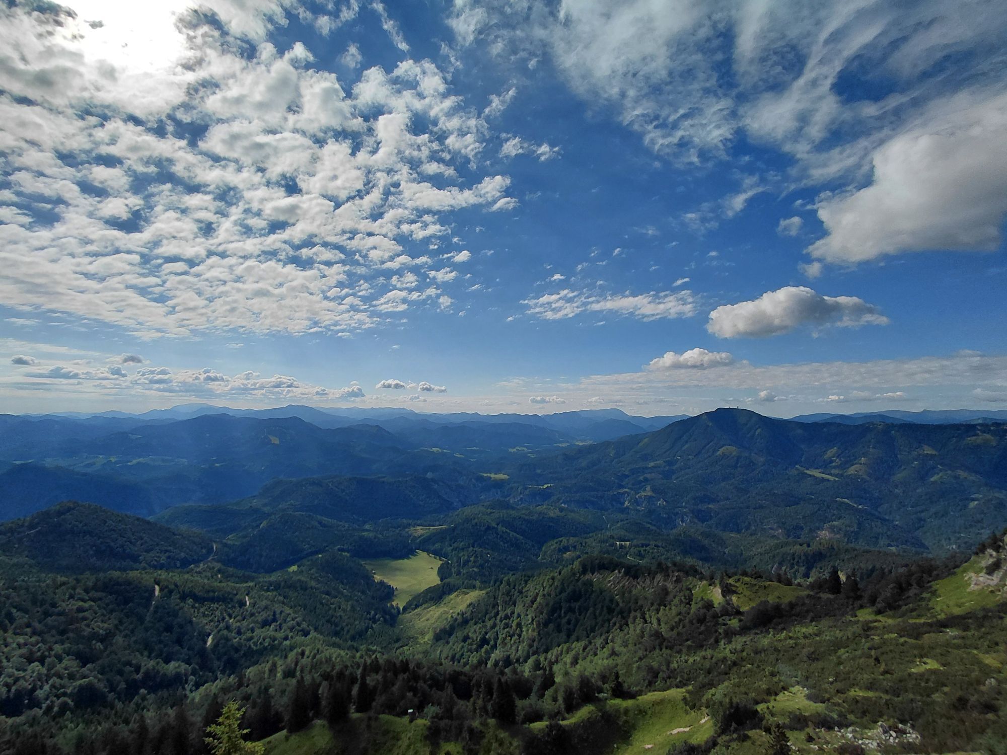
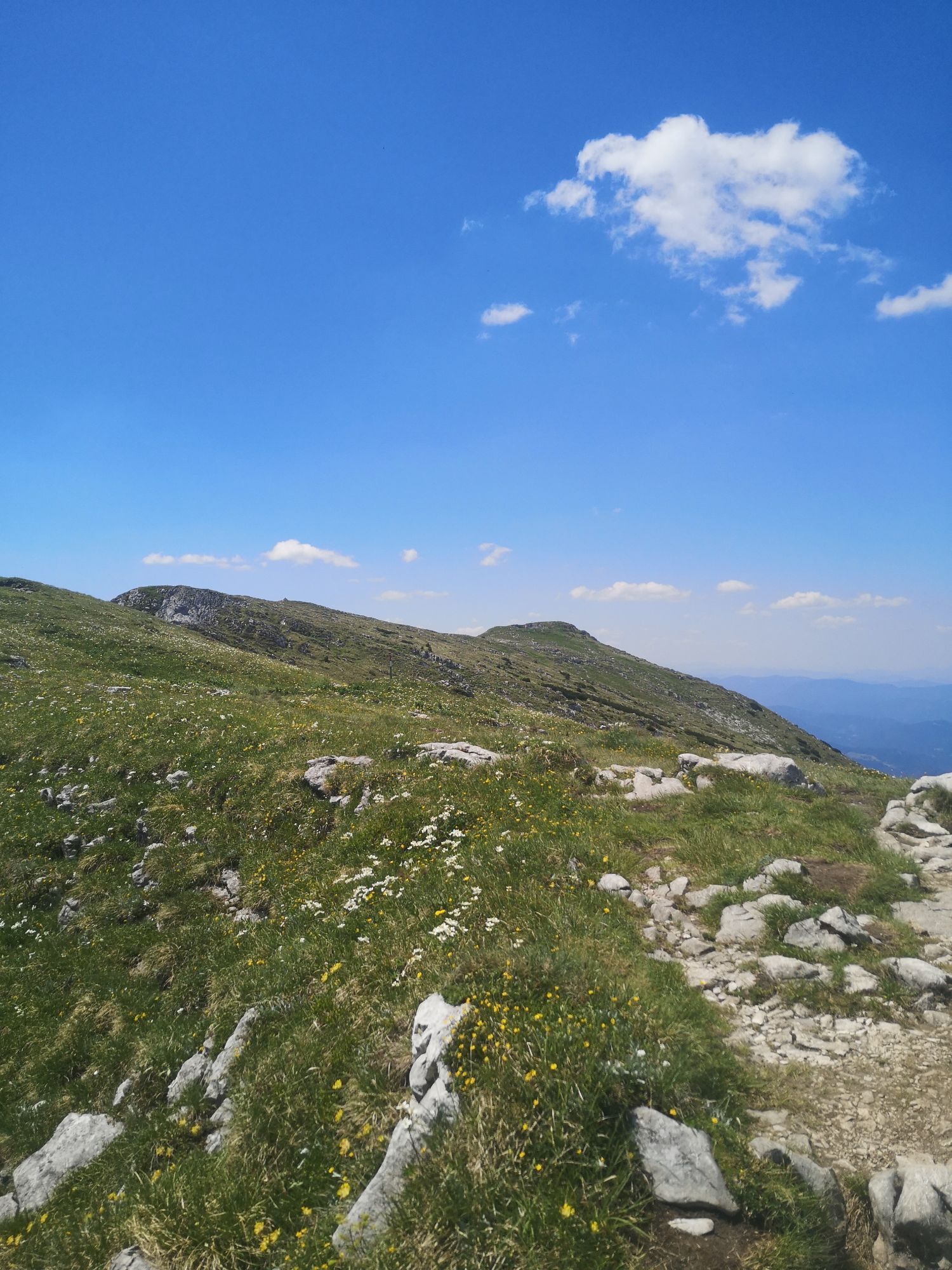
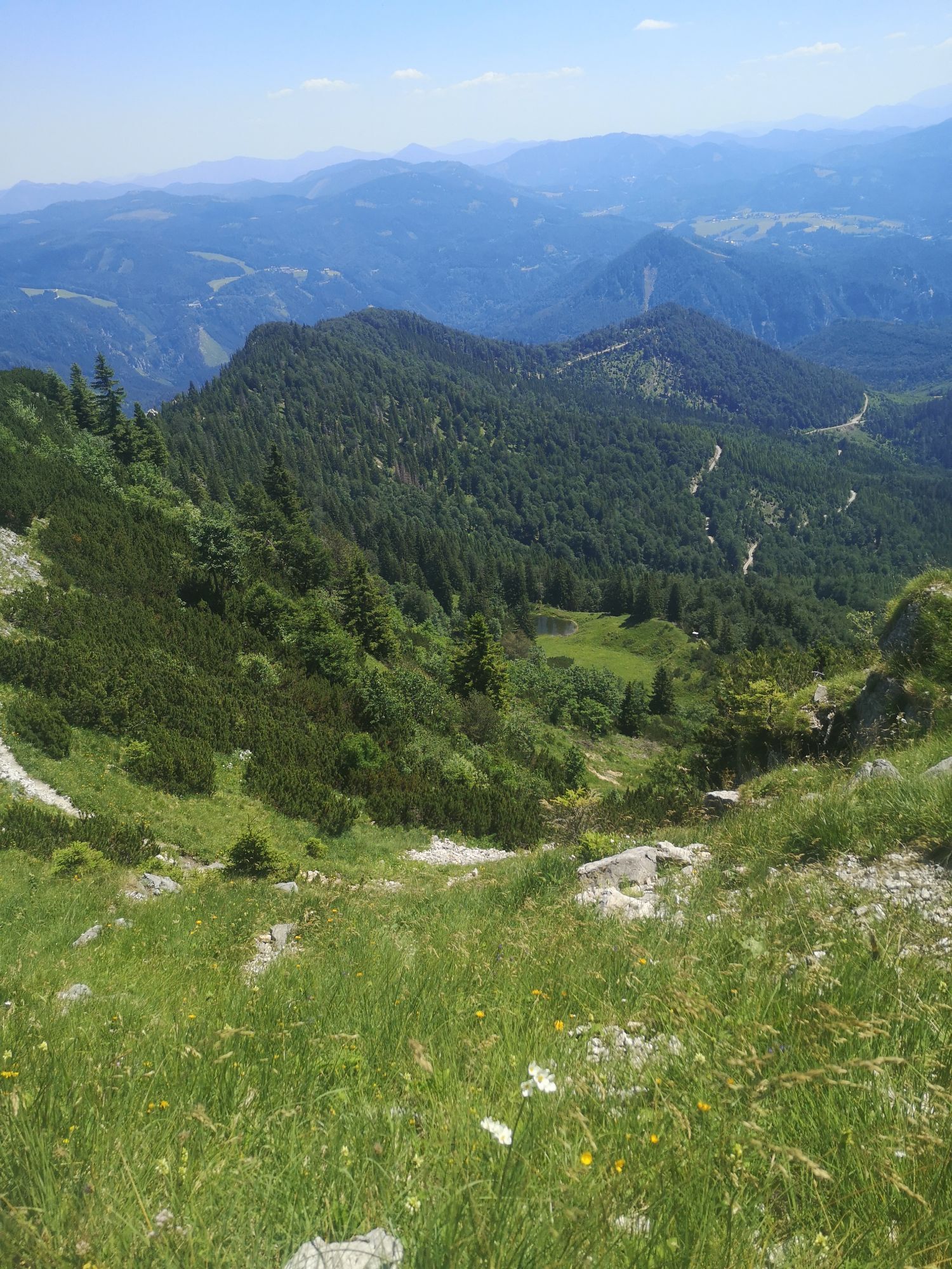
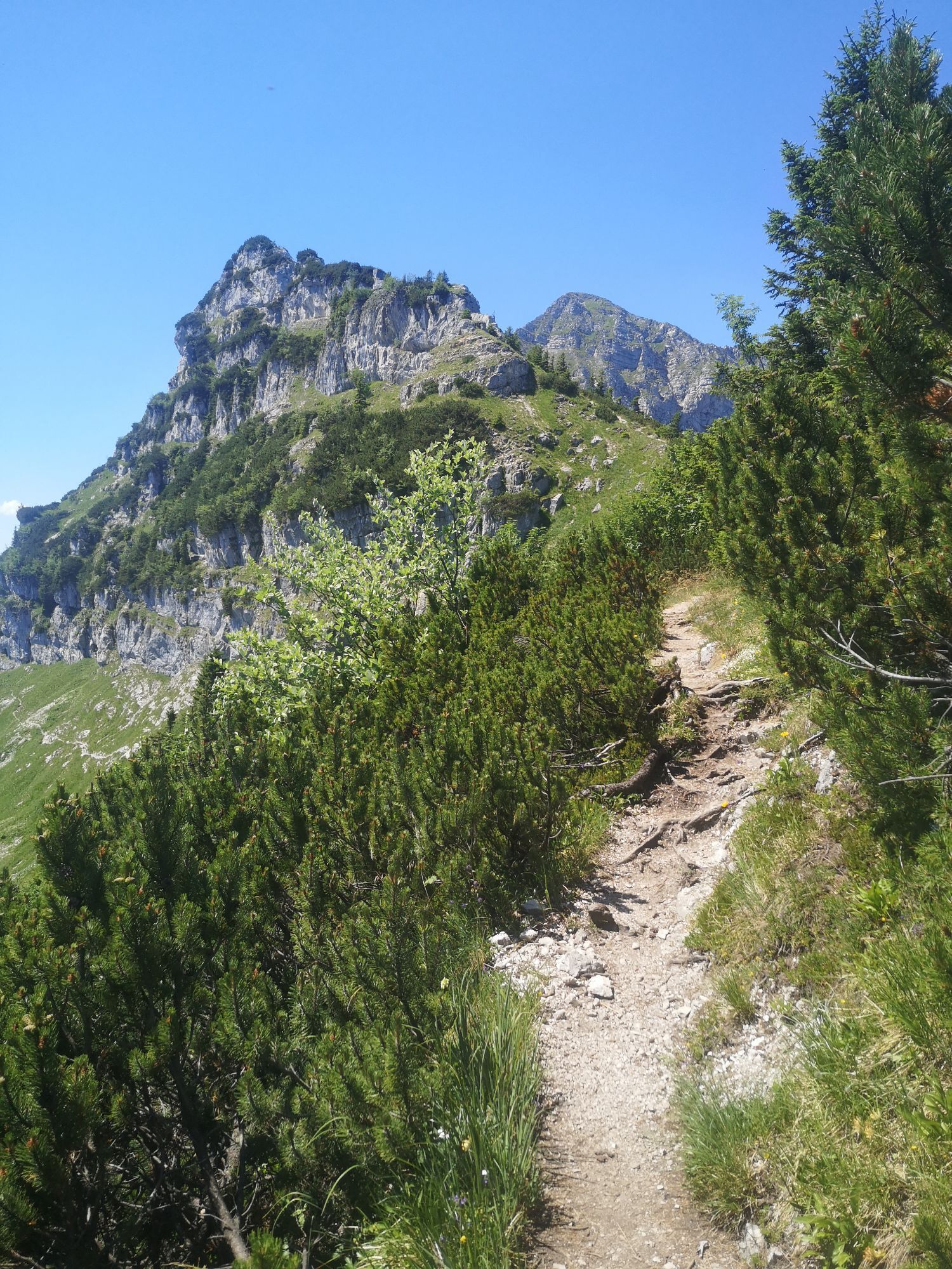
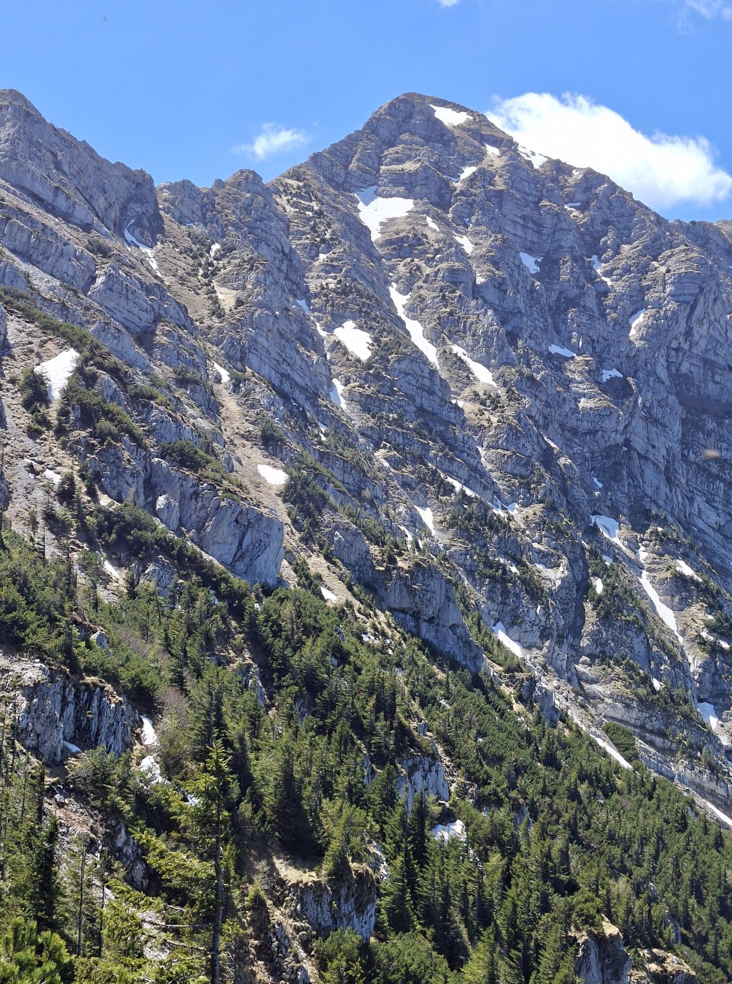
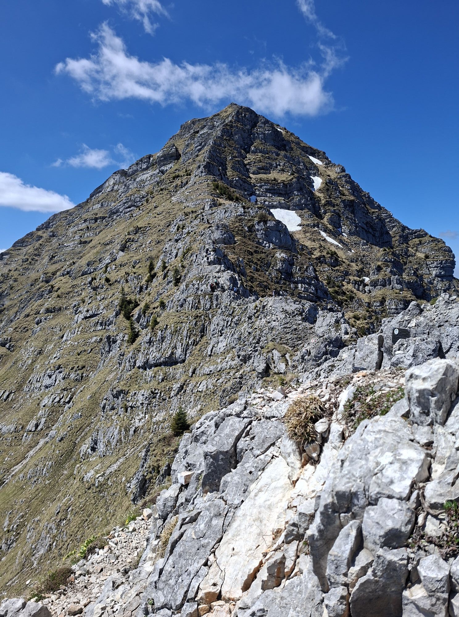
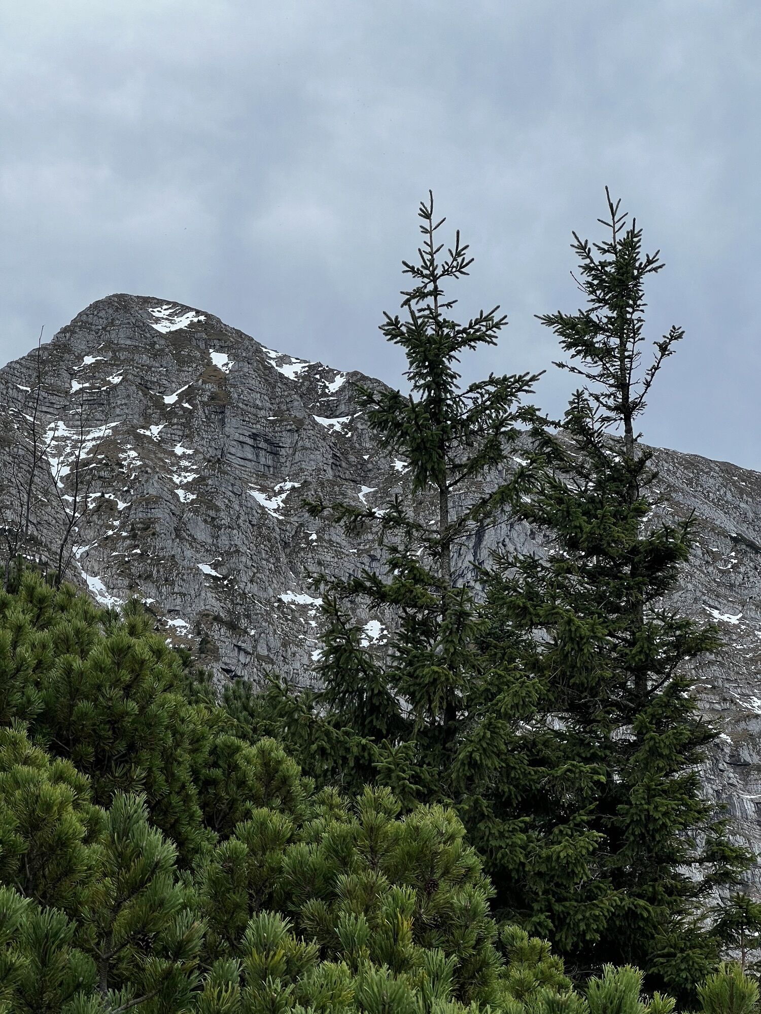
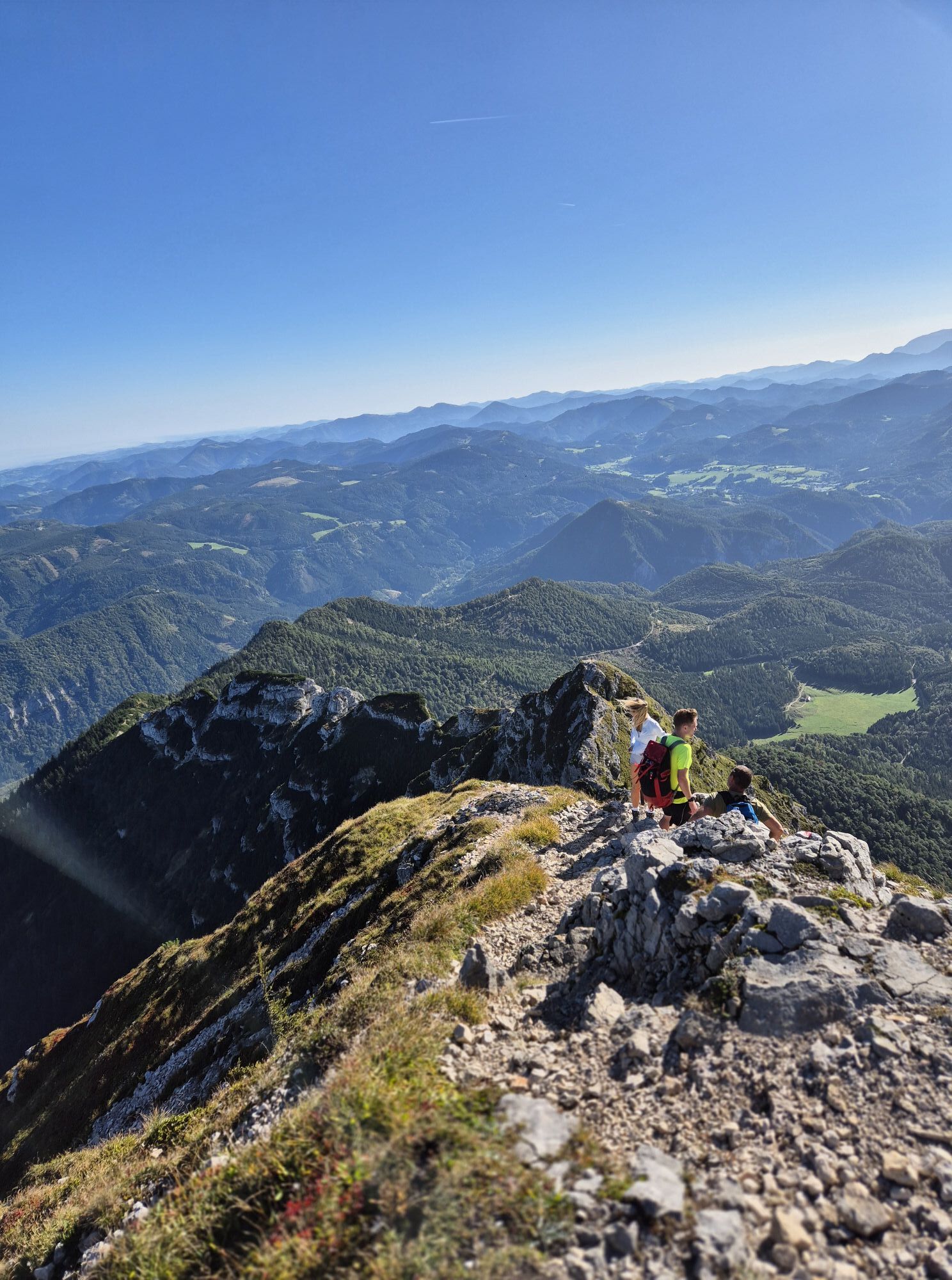
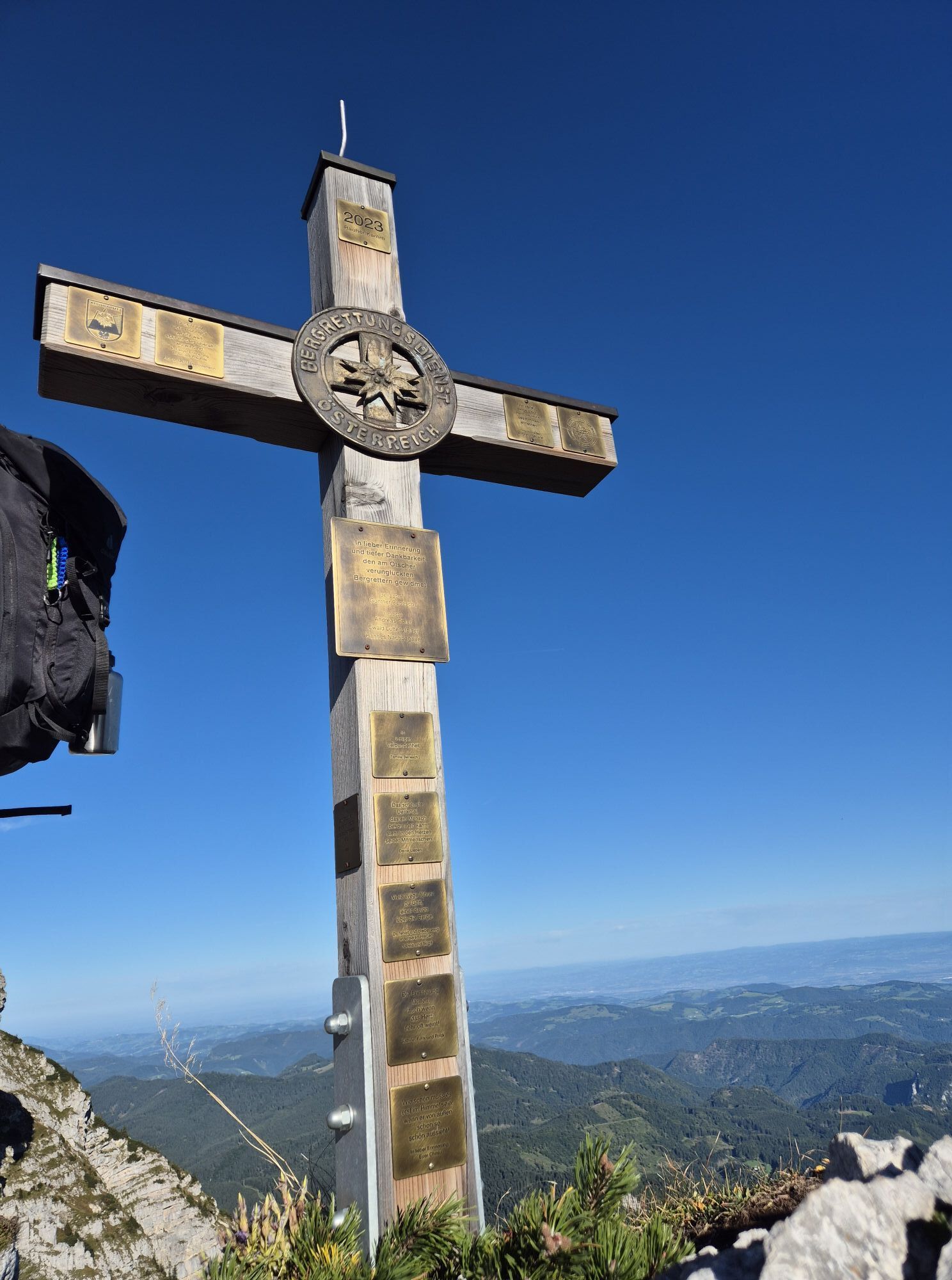
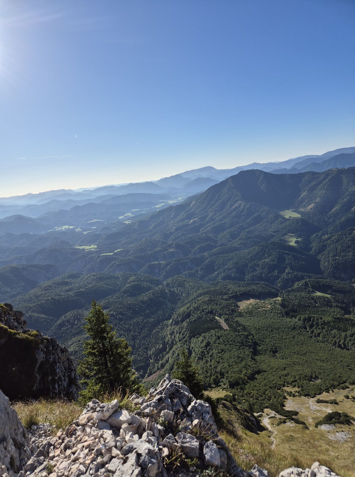
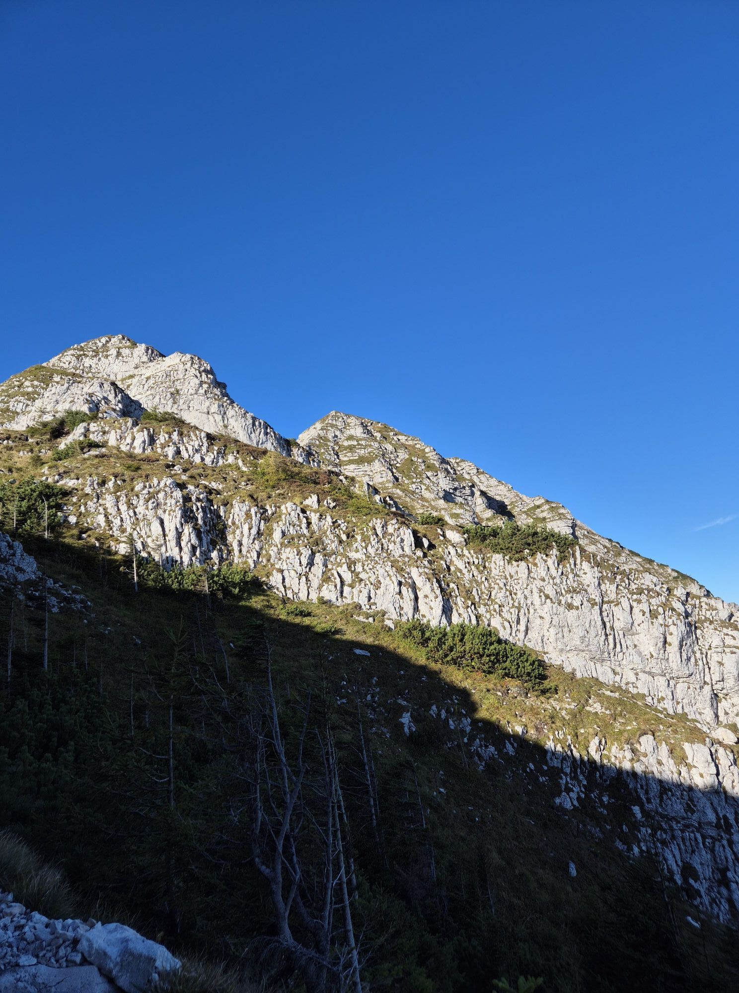
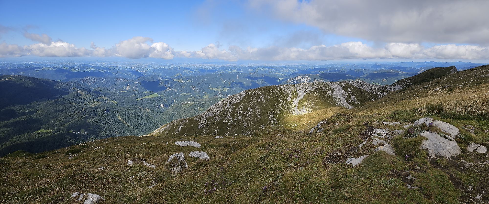
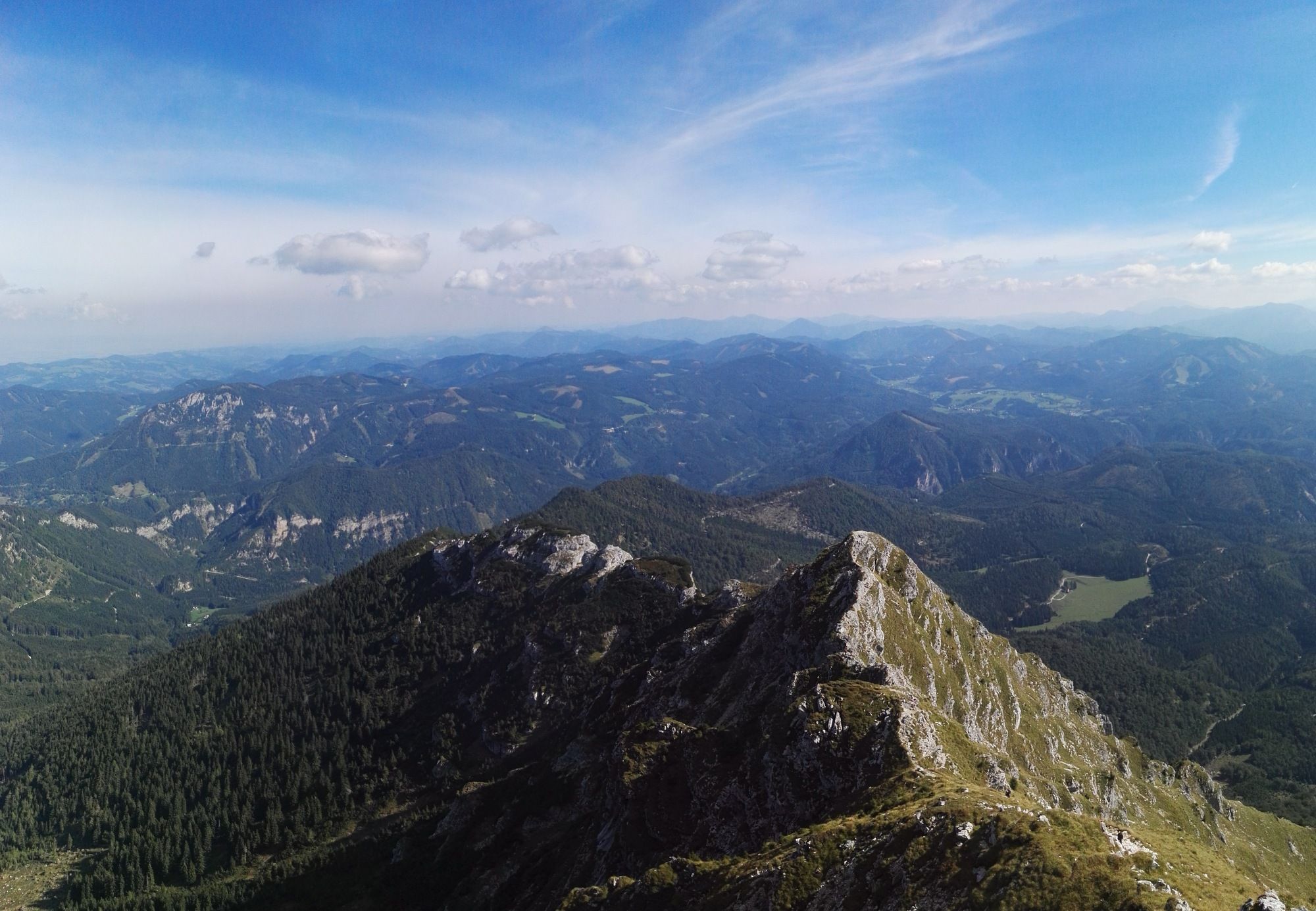
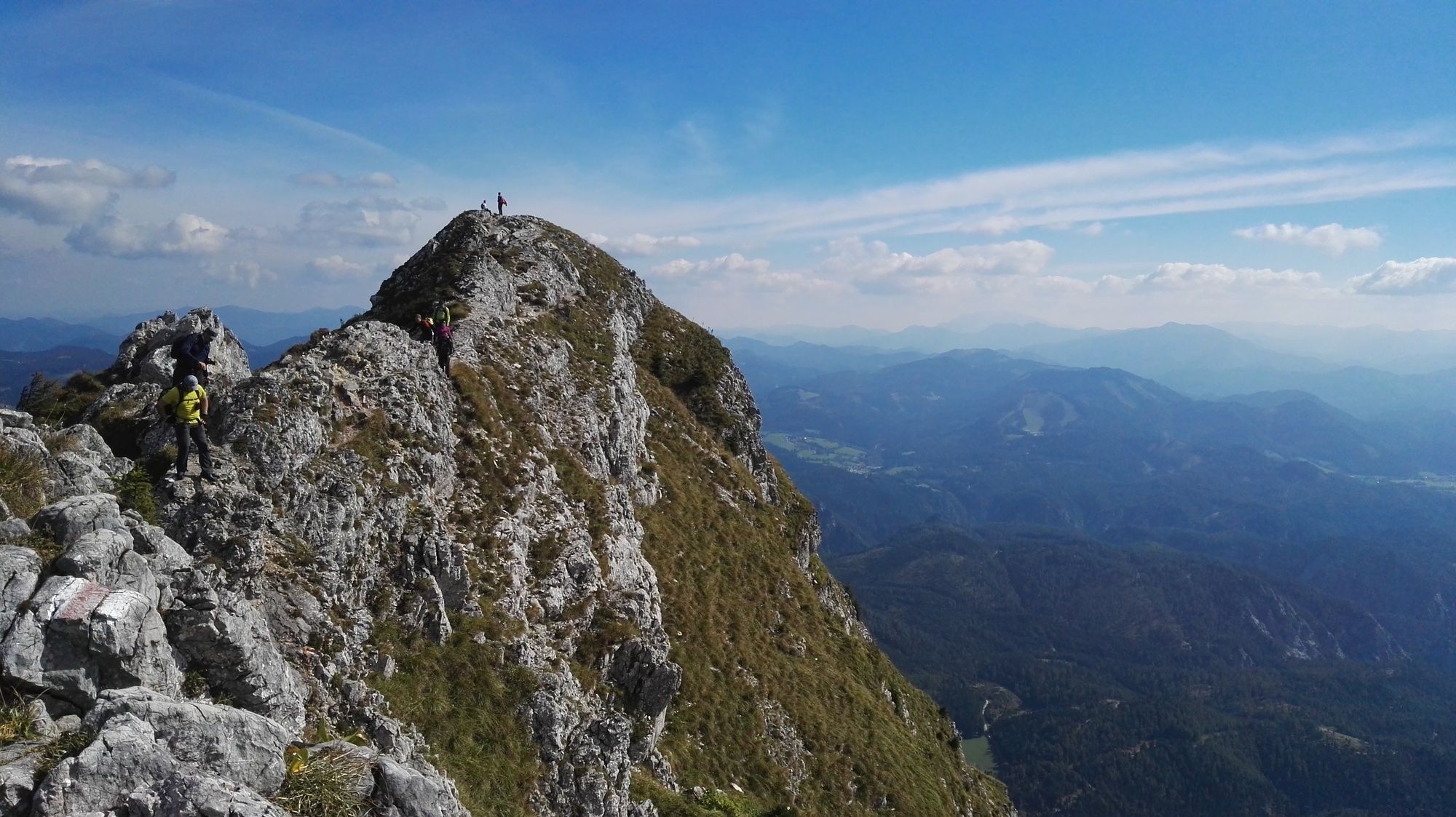
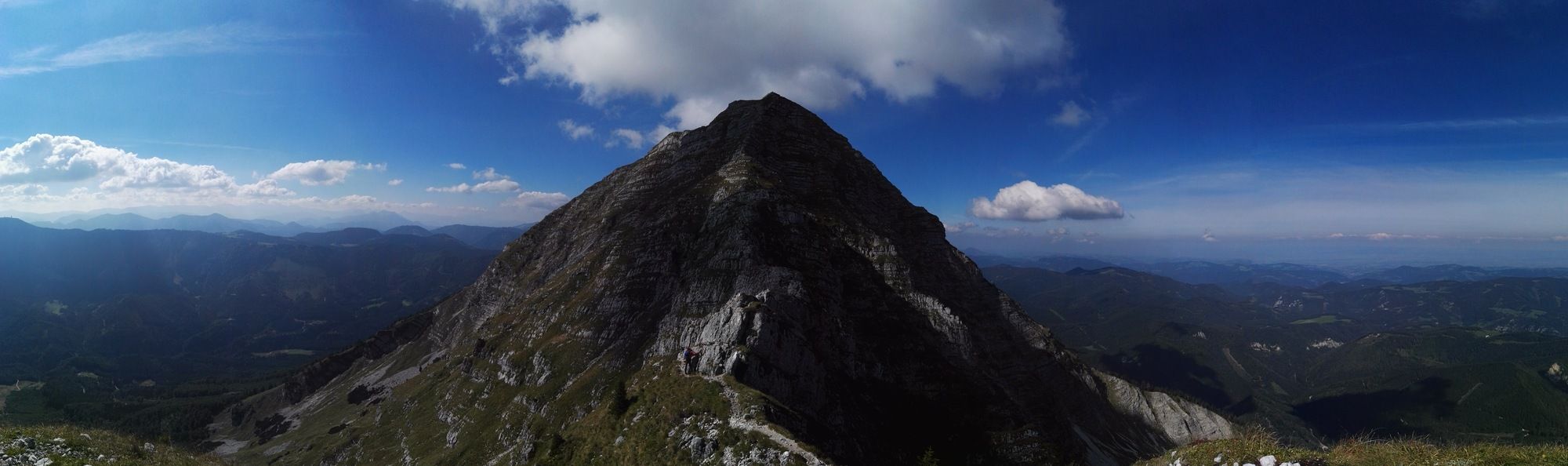
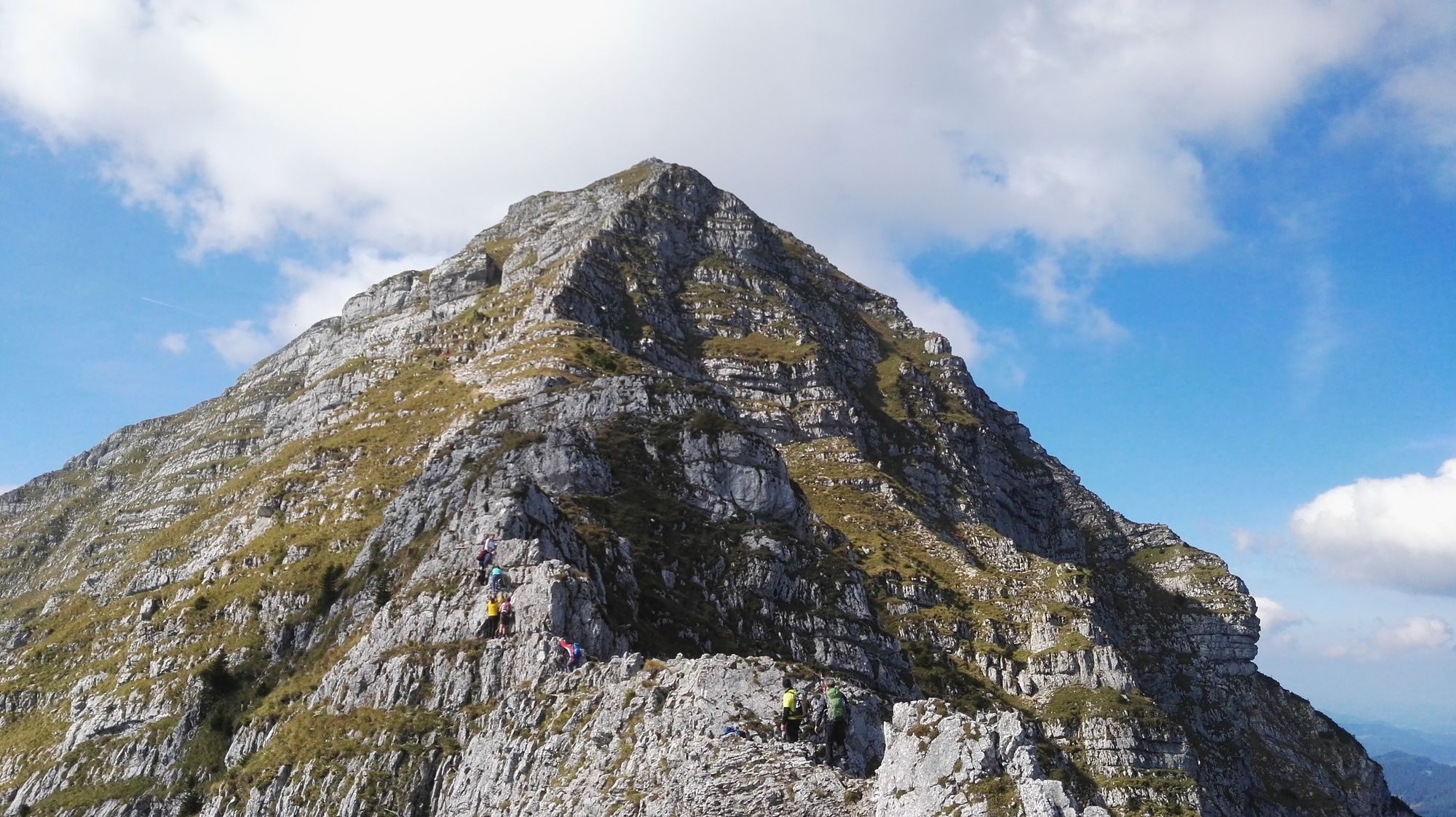
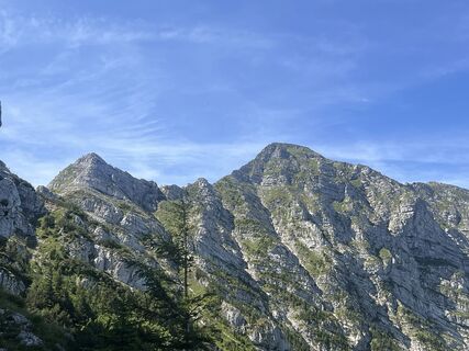
The path is very steep and leads in many U-Turns through the woods. At about 1400 meters above sea level the track becomes increasingly less steep and you will soon reach the ridge. From there, follw the trail on the not yet exposed ridge uphill. After another signpost (go straight there), the terrain becomes more exposed and rocky. First, the trail leads through the right flank, then right on the ridge where it will lead you onto a pre-summit. After that, you will soon reach the key-section, a small wall where some iron clamps will help you overcome it. After a bit more than one hour of awesome climb-hiking with insane views to the north and east you will reach the plateau near the "Herrenstand" area. From there it is a flat walk of only a few minutes to the peak of "Ötscher" mountain.
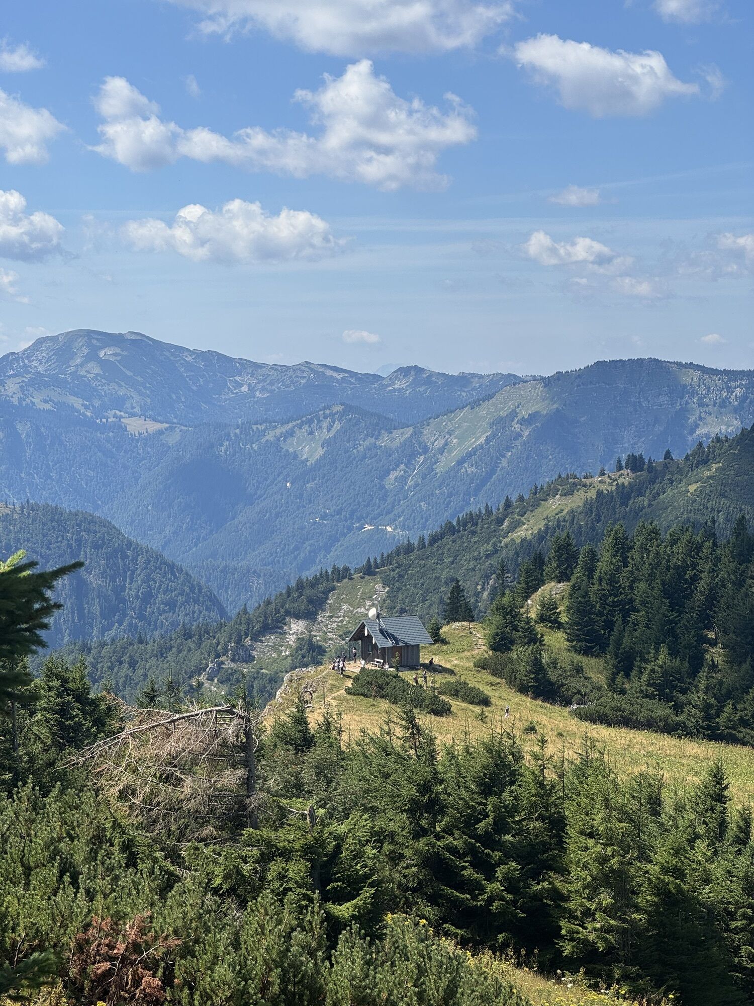
The descend is far easier, simply follow the red-white markers on the rocks or the masses of hikers, direction SW, to the hut. There, either take the chairlift or walk down to the valley station. For doing that, either walk down the black ski-piste, or the graveled road (red ski-piste, further to the left), the second of which is marked red-white-red and also well signed.


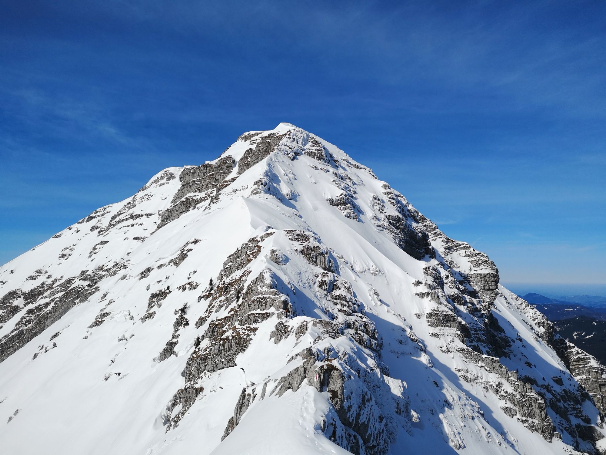

On the ridge you will see a signpost pointing to "Geldloch" and "Taubenloch" caves which you can visit with about 45 additional minutes (total) of walking.
Ötscherschutzhaus (Caution! Very late in the tour, therefore take your own food and drinks with you!)
BEV-map NL 33-02-04 Ost, Ötscher; scale: 1:25000
Da
Da
Da
Strong hiking boots, food, drinks, sunscreen, cap/hat, mobile phone, and everything else one needs in the mountains.
CAUTION! This is a very long and difficult hike in alpine terrain with a difference in altitude of more than 1000 meters and climbing-spots in the difficulty 1+ according to the UIAA scale. Not possible with even a litte fear of heights. Also the length of the tour should not be underastimated, only trained people can make this. Also a retreat from the ridge is not possible - only when the weather is 100% safe and no thunderstorms are underway. Not with children, not with elerly people!
Very well possible as a day trip from Vienna, but please, please only if you follow the safety instrucions and have the necessary equipment and skills!
A1 till exit Ybbs, then the B25 via Wieselburg, Purgstall, Scheibbs und Gaming till the crossing with the B71. Turn left there and continue on it till the crossing with the Ötscherstraße, direction Lackenhof, again to the left. On it to the valley station "Großer Ötscherlift" - signs!
Car parking at the valley station "Großer Ötscherlift"
Seit 2021 gibt es ein Wandertaxi zwischen Lackenhof (Sessellift) und Raneck. Für ein paar Euro kann man sich so den "Hatscher" auf der Asphaltstraße ersparen, und tut auch noch was gutes für die Wirtschaft in der Region. Genaue Infos unter: www.daurer-reisen.at/service/wandertaxi/




 Pridobite vpogled
Vedno v živo na mestu z več kot 9.500 spletnimi kamerami. bergfex Kot uporabnik Pro si lahko zdaj ogledate ustrezne spletne kamere za številne izlete v aplikaciji izleti iz. Tako si lahko neposredno ogledate trenutne razmere.
Pridobite vpogled
Vedno v živo na mestu z več kot 9.500 spletnimi kamerami. bergfex Kot uporabnik Pro si lahko zdaj ogledate ustrezne spletne kamere za številne izlete v aplikaciji izleti iz. Tako si lahko neposredno ogledate trenutne razmere.
Dejavnosti na poti
-

Gaming, Niederösterreich/Österreich
14.08.2026 – Mountainbike -

Gaming, Niederösterreich/Österreich
13.08.2026 – Pohodništvo -

Gaming, Niederösterreich/Österreich
09.08.2026 – Pohodništvo -

Gaming, Niederösterreich/Österreich
09.08.2026 – Pohodništvo -
Gaming
08.08.2026 – Pohodništvo -
Gaming, Niederösterreich/Österreich
08.08.2026 – Pohodništvo -

Gaming, Niederösterreich/Österreich
28.07.2026 – Pohodništvo -

Gaming, Niederösterreich/Österreich
25.07.2026 – Pohodništvo -

Gaming, Niederösterreich/Österreich
25.07.2026 – Pohodništvo -

Gaming, Niederösterreich/Österreich
25.07.2026 – Pohodništvo -

Gaming, Niederösterreich/Österreich
17.07.2026 – Pohodništvo -
Gaming, Niederösterreich/Österreich
12.07.2026 – Pohodništvo -
Gaming, Lower Austria/Austria
12.07.2026 – Pohodništvo -

Gaming, Niederösterreich/Österreich
20.06.2026 – Pohodništvo -

Gaming, Niederösterreich/Österreich
19.06.2026 – Pohodništvo -
Gaming, Niederösterreich/Österreich
16.06.2026 – Pohodništvo -
Gaming, Niederösterreich/Österreich
16.06.2026 – Pohodništvo -
Gaming, Niederösterreich/Österreich
02.06.2026 – Pohodništvo -

Gaming, Niederösterreich/Österreich
30.05.2026 – Pohodništvo -

Ötscher über Rauher Kamm
30.05.2026 – Pohodništvo
Priljubljeni izleti v okolici
-
4.4
Das 3 Seen-Erlebnis (Lunzer See - Mittersee - Obersee)
srednjaPohodništvo 9.33 km -
4.2
Rund um den smaragdgrünen Lunzer See
svetlobaPohodništvo 4.80 km -
4.7
Gemeindealpe
srednjaPohodništvo 13.5 km -
5.0
Von Lackenhof auf den Ötscher
svetlobaPohodništvo 5.29 km -
4.9
Panoramic summit Maiszinken - alpine experience included
srednjaPohodništvo 12.6 km -
4.9
Lassingfall - Ötscherhias - Erlaufklause
srednjaPohodništvo 8.20 km -
4.9
Lackenhof ÖTSCHER Rauer Kamm 19.10.2014
težkoPohodništvo 14.1 km -
4.8
Naturpark Ötscher-Tormäuer Wienerbruck
svetlobaPohodništvo 6.06 km -
4.7
Trefflingfall über Hochbärneckhütte
srednjaPohodništvo 12.2 km -
4.7
Erlaufsee-Rundweg
svetlobaPohodništvo 5.37 km

Pohodništvo in sledenje


Ne zamudite ponudb in navdiha za naslednje počitnice
Vaš e-poštni naslov je bil dodan na poštni seznam.





