







Circular hike Kahlenberg - Hermannskogel
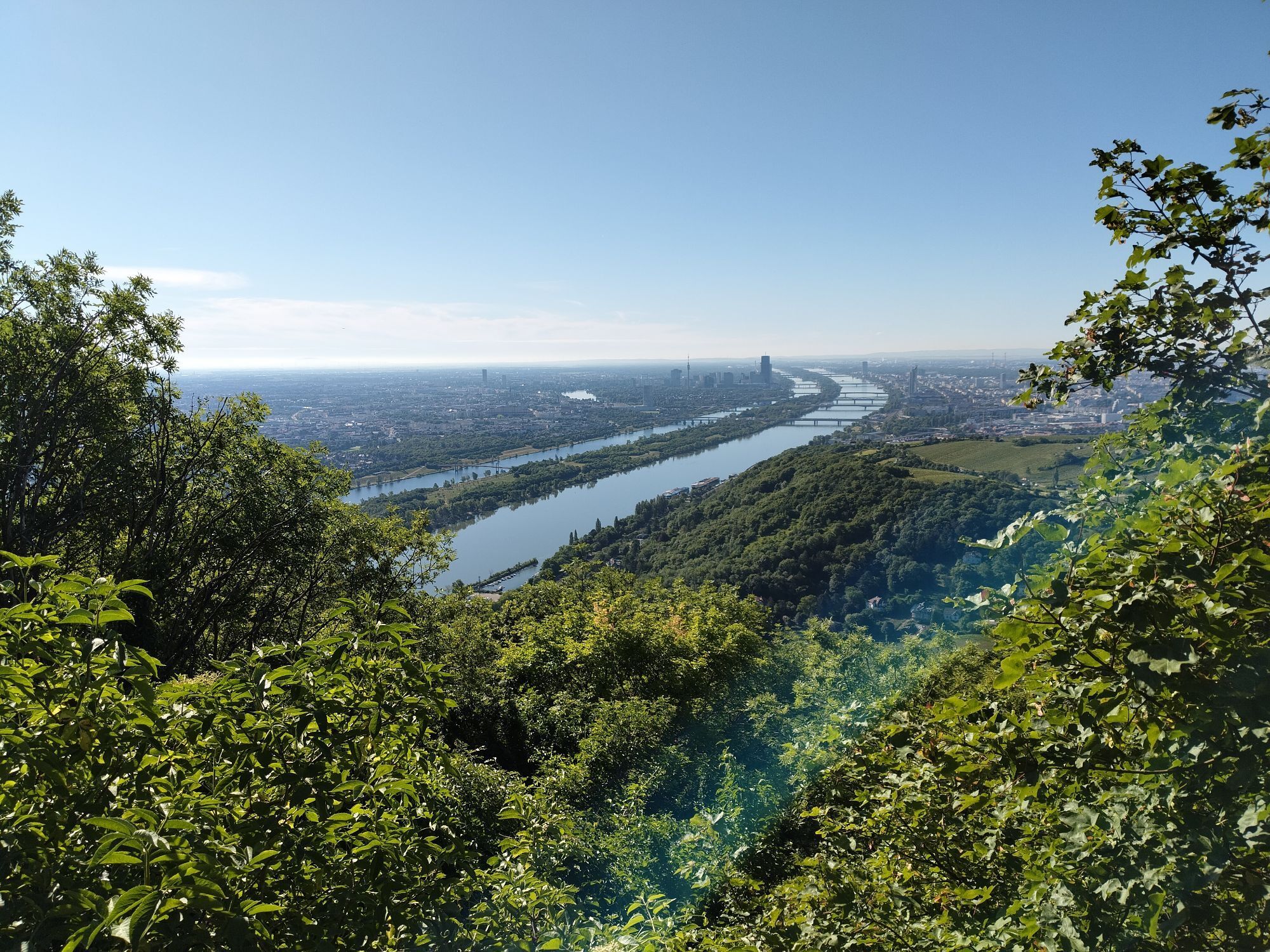
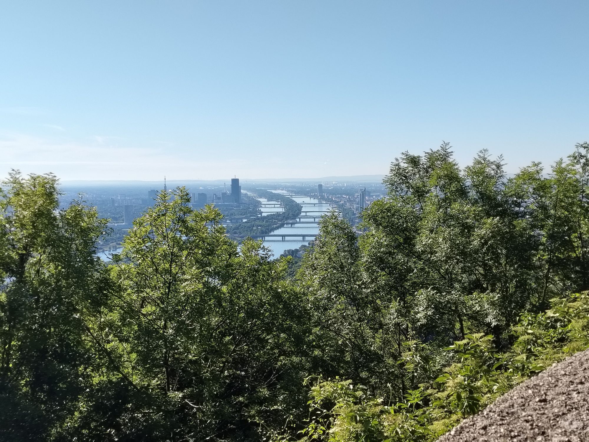
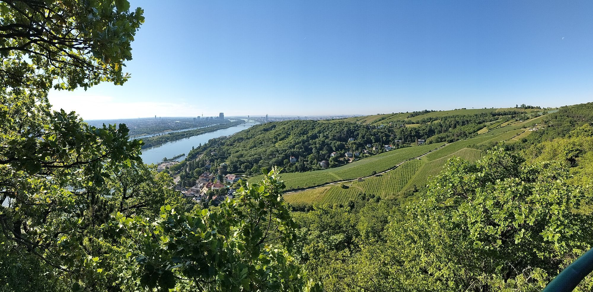
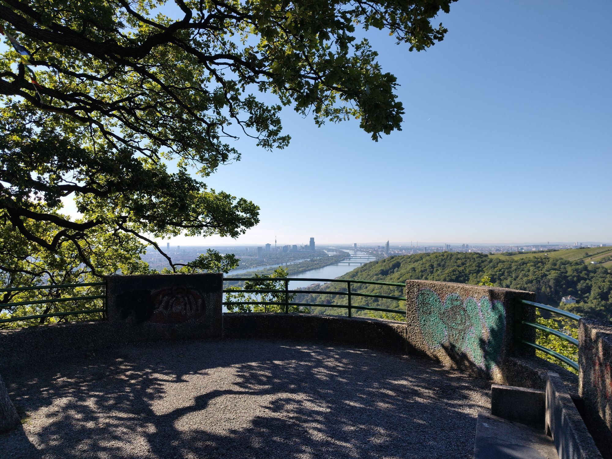
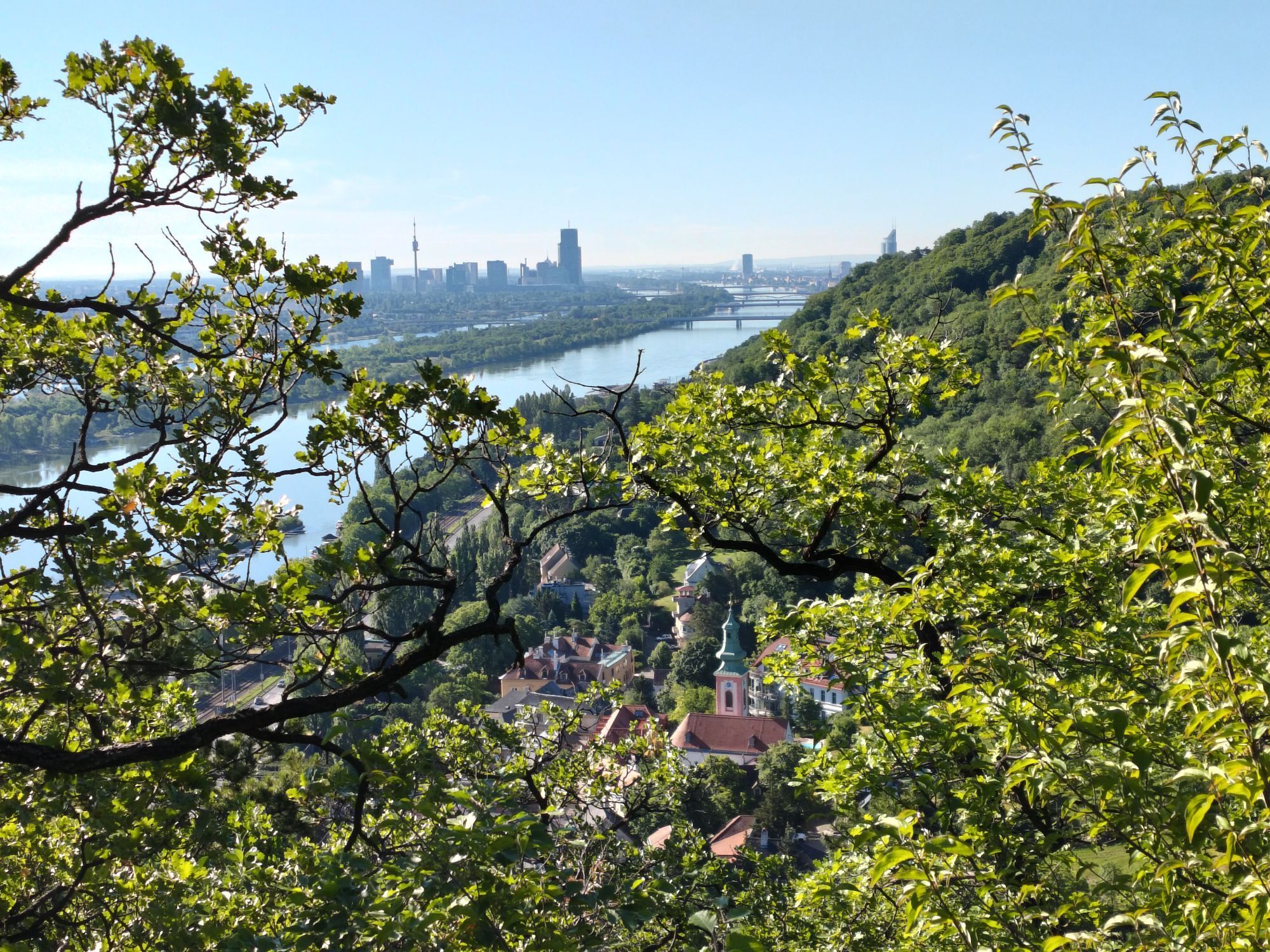
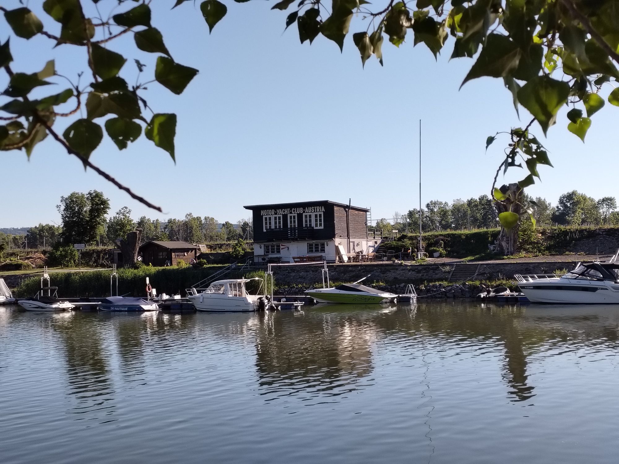
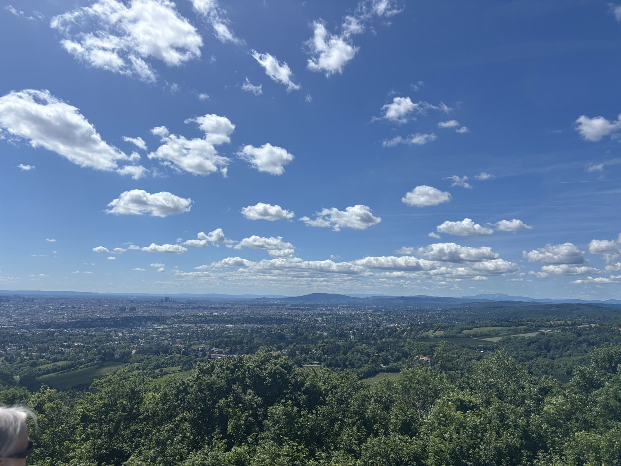
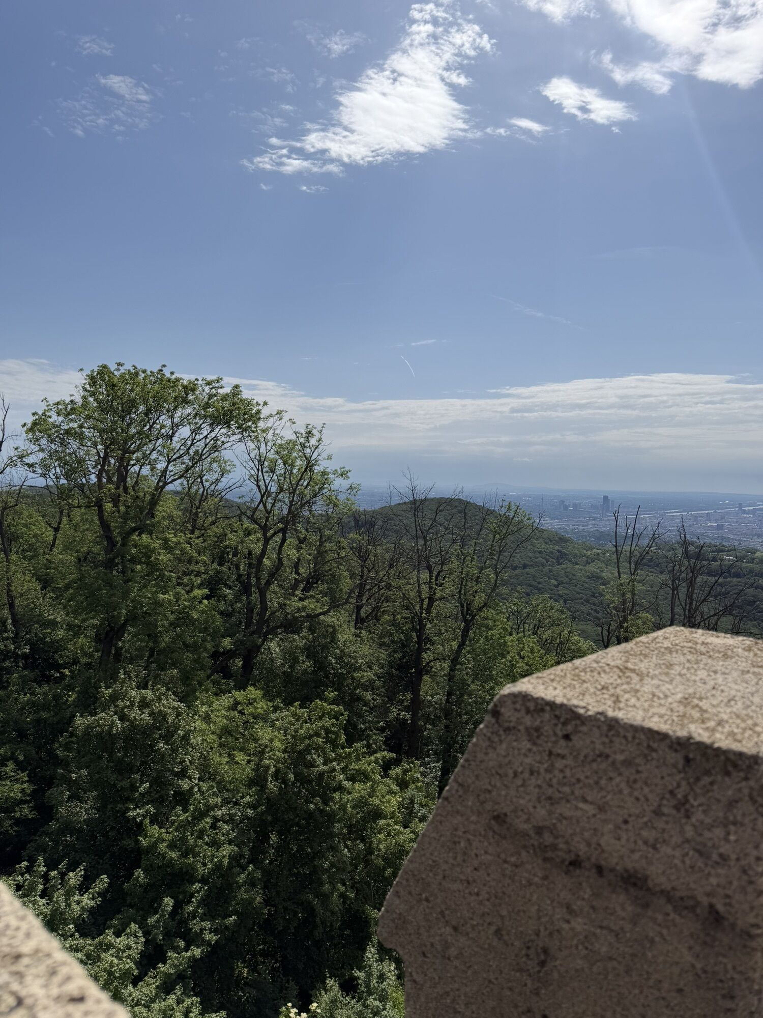
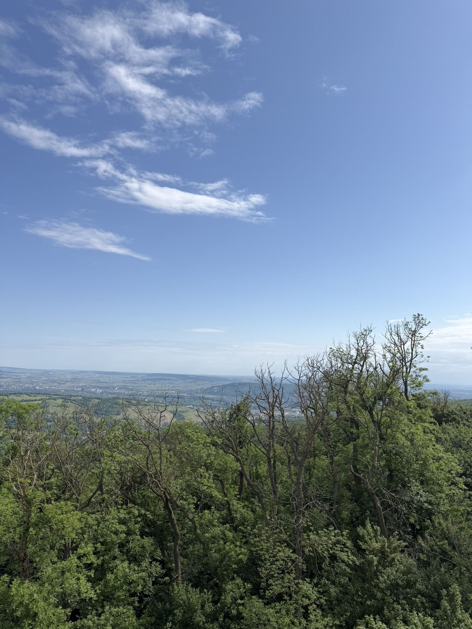
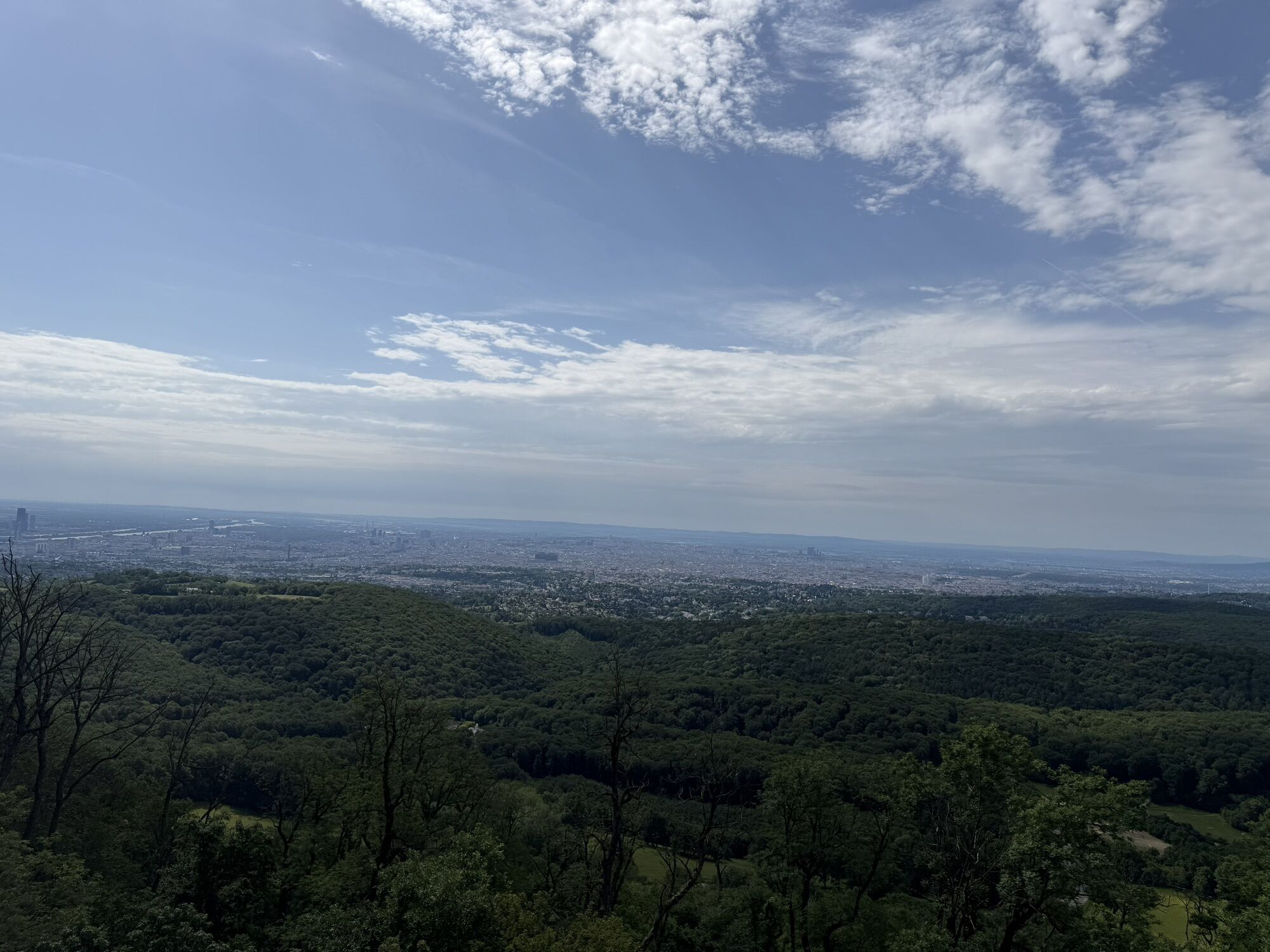
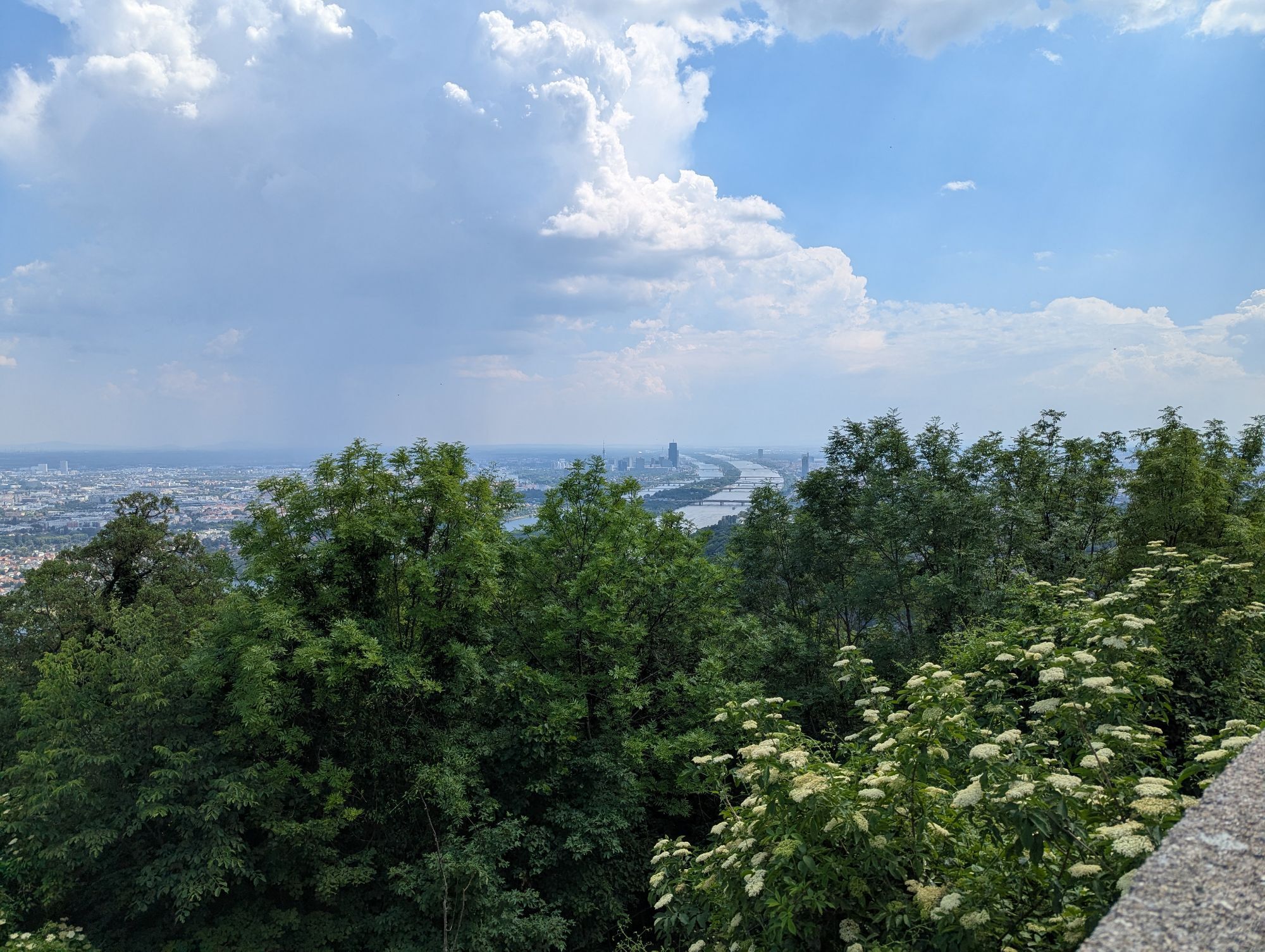
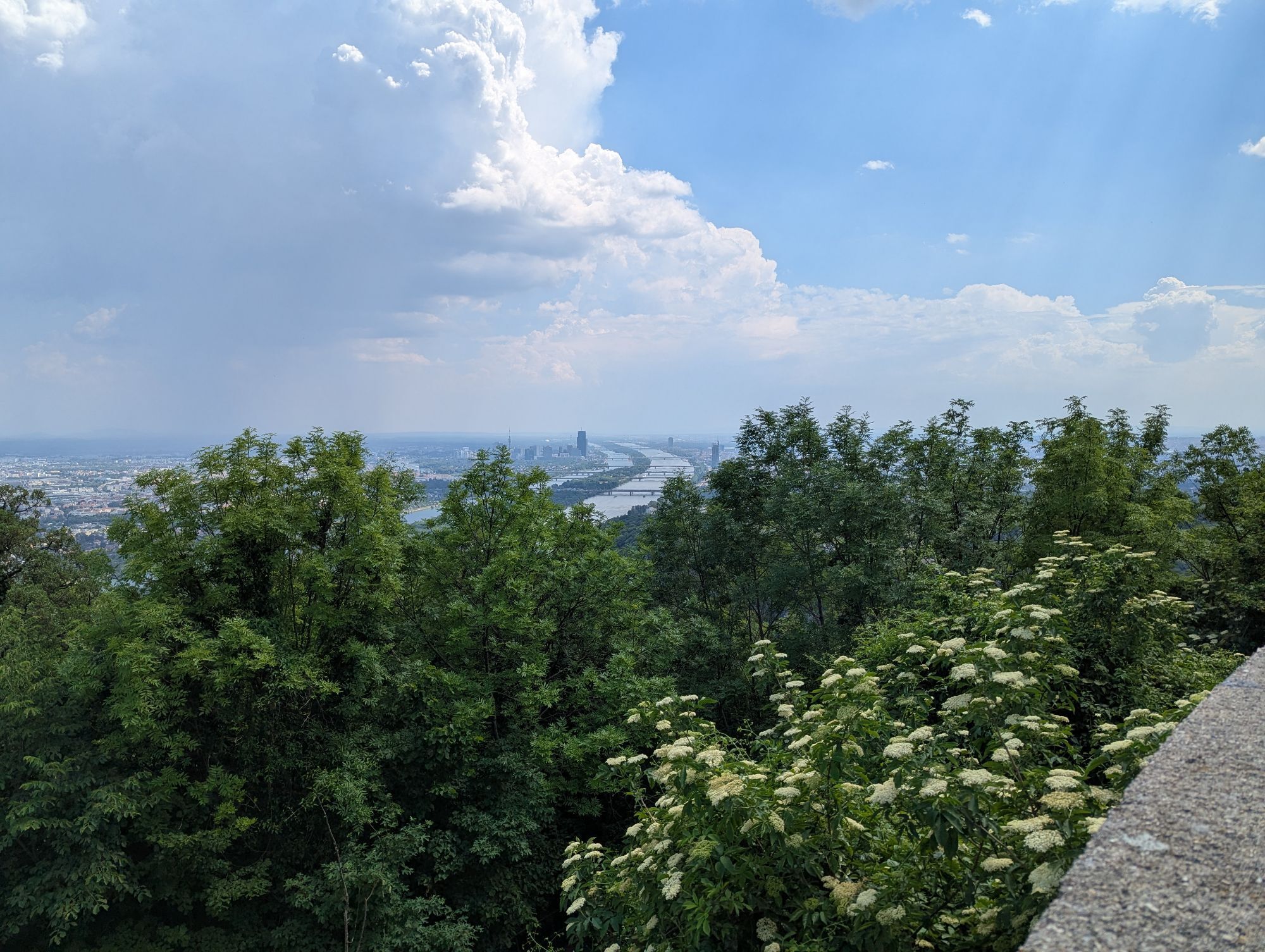
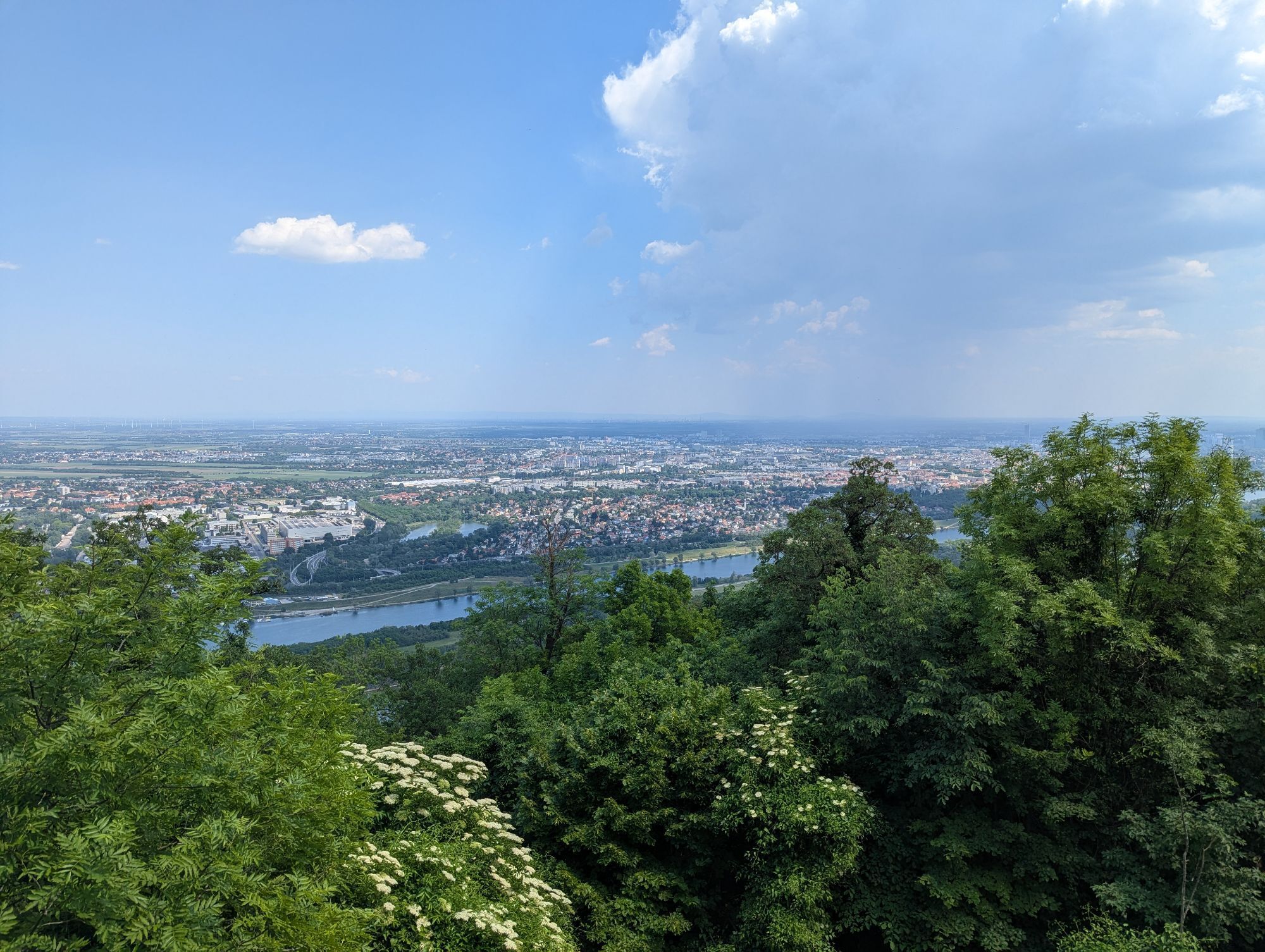
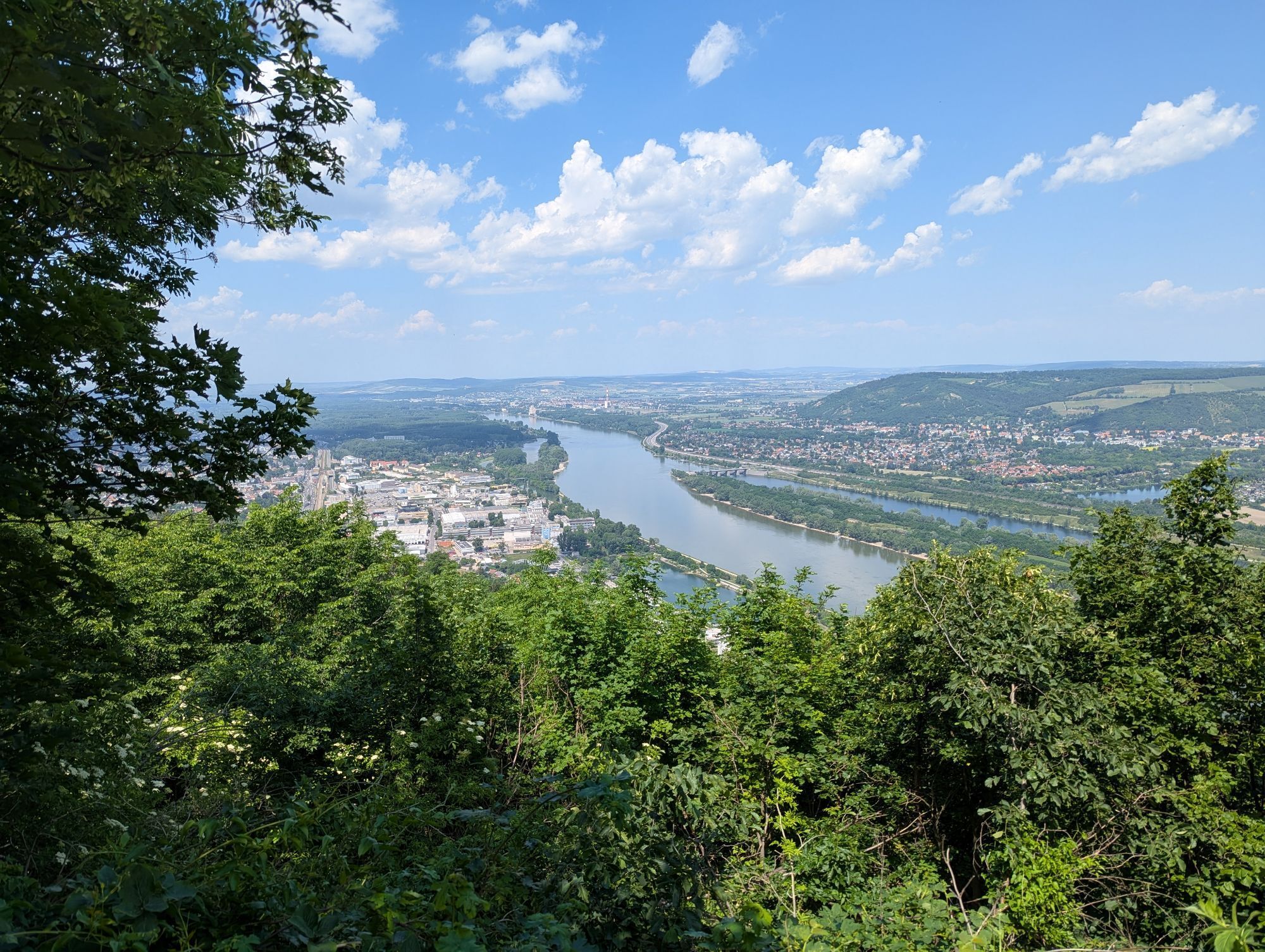
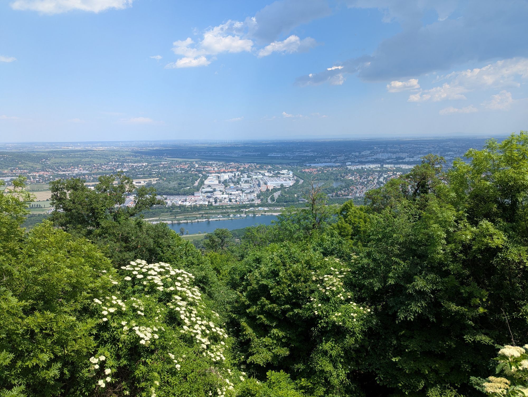
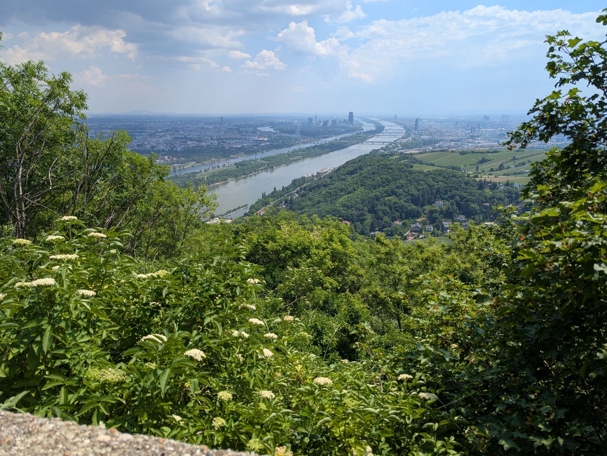
Tip/Funfact: The Vienna Woods is the largest contiguous deciduous forest area in Central Europe, lies on the outskirts of Vienna, has 1.8 million inhabitants, and was designated a biosphere reserve by...
Tip/Funfact: The Vienna Woods is the largest contiguous deciduous forest area in Central Europe, lies on the outskirts of Vienna, has 1.8 million inhabitants, and was designated a biosphere reserve by UNESCO due to its special biodiversity.


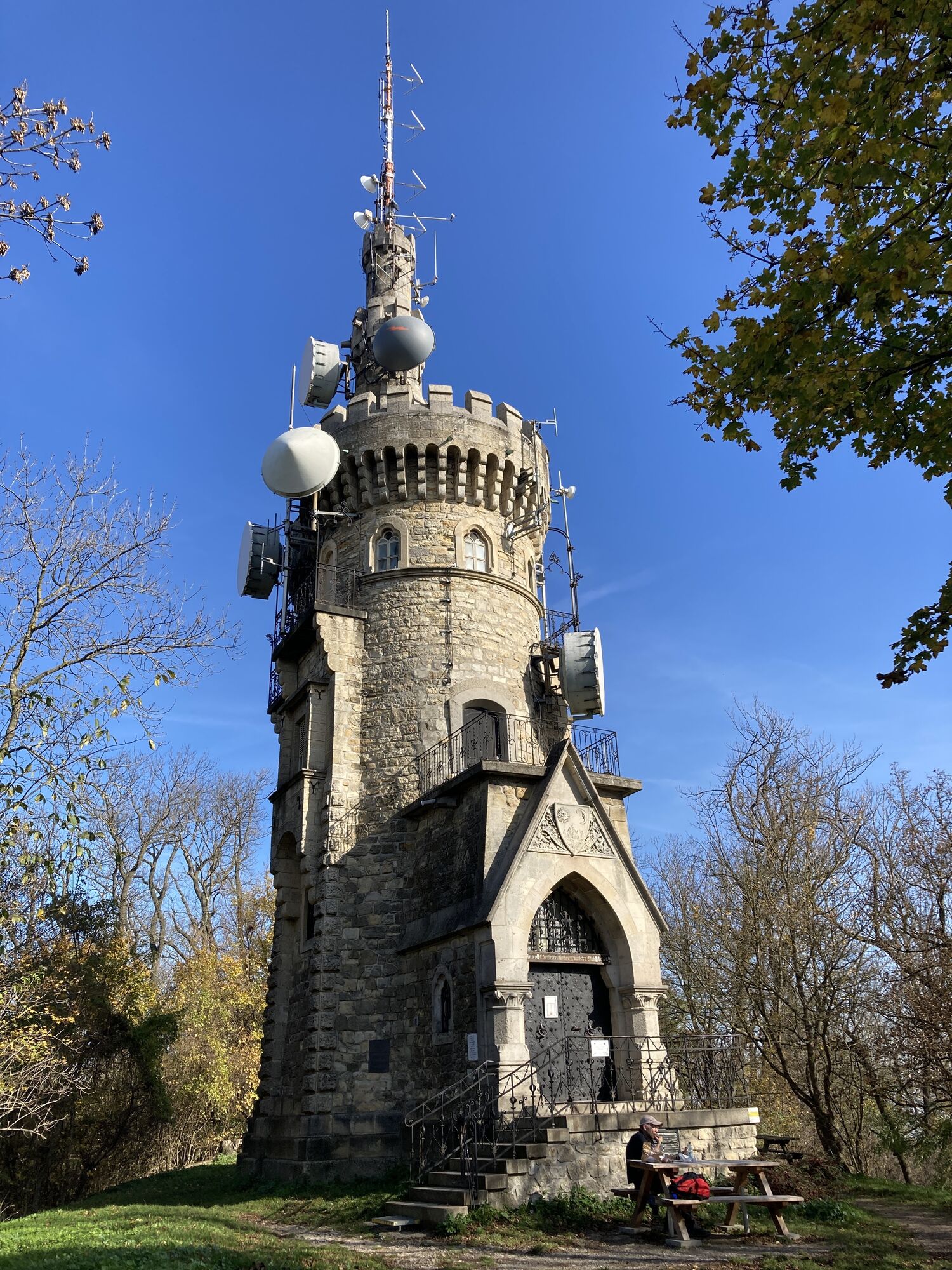
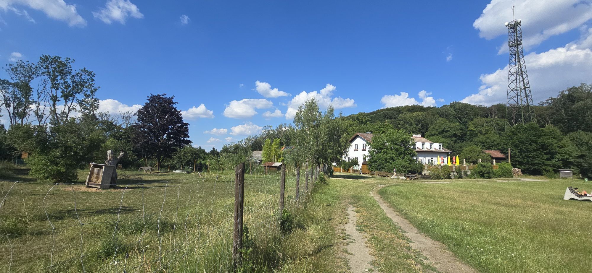
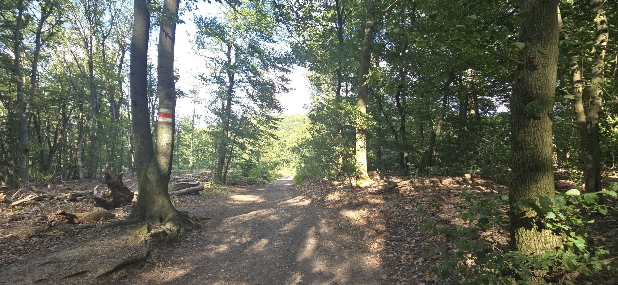
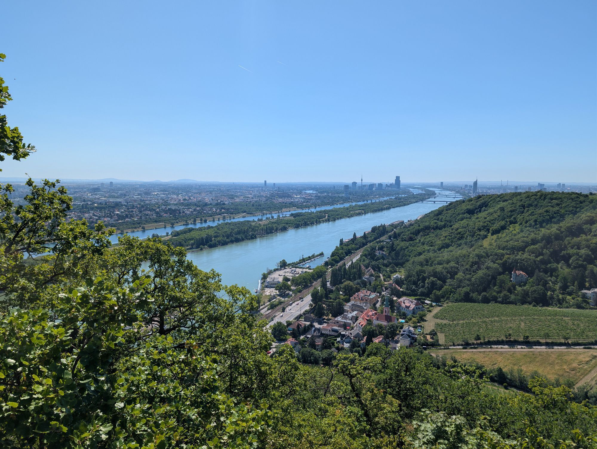
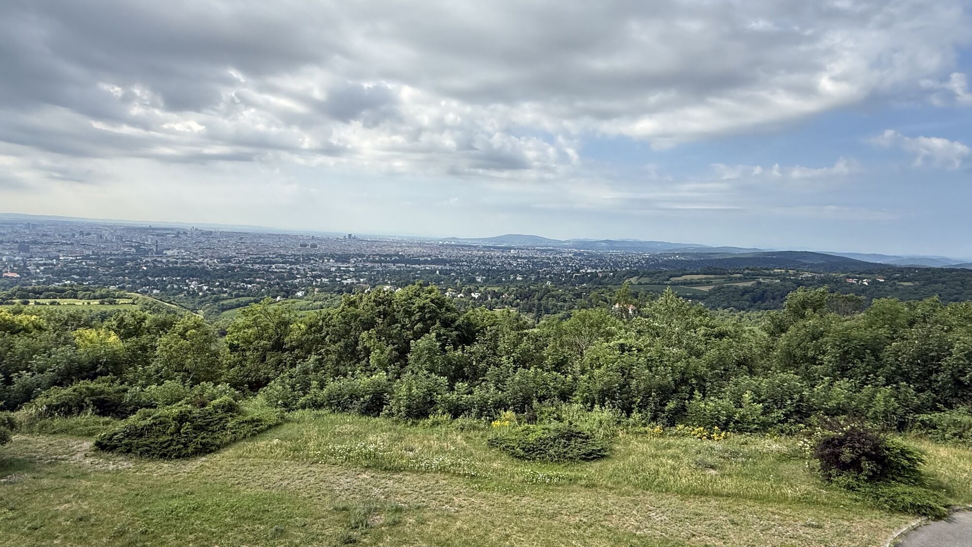
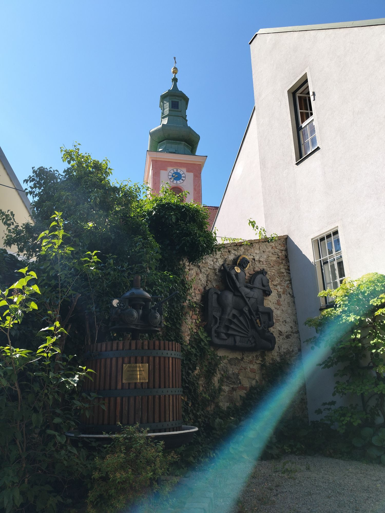
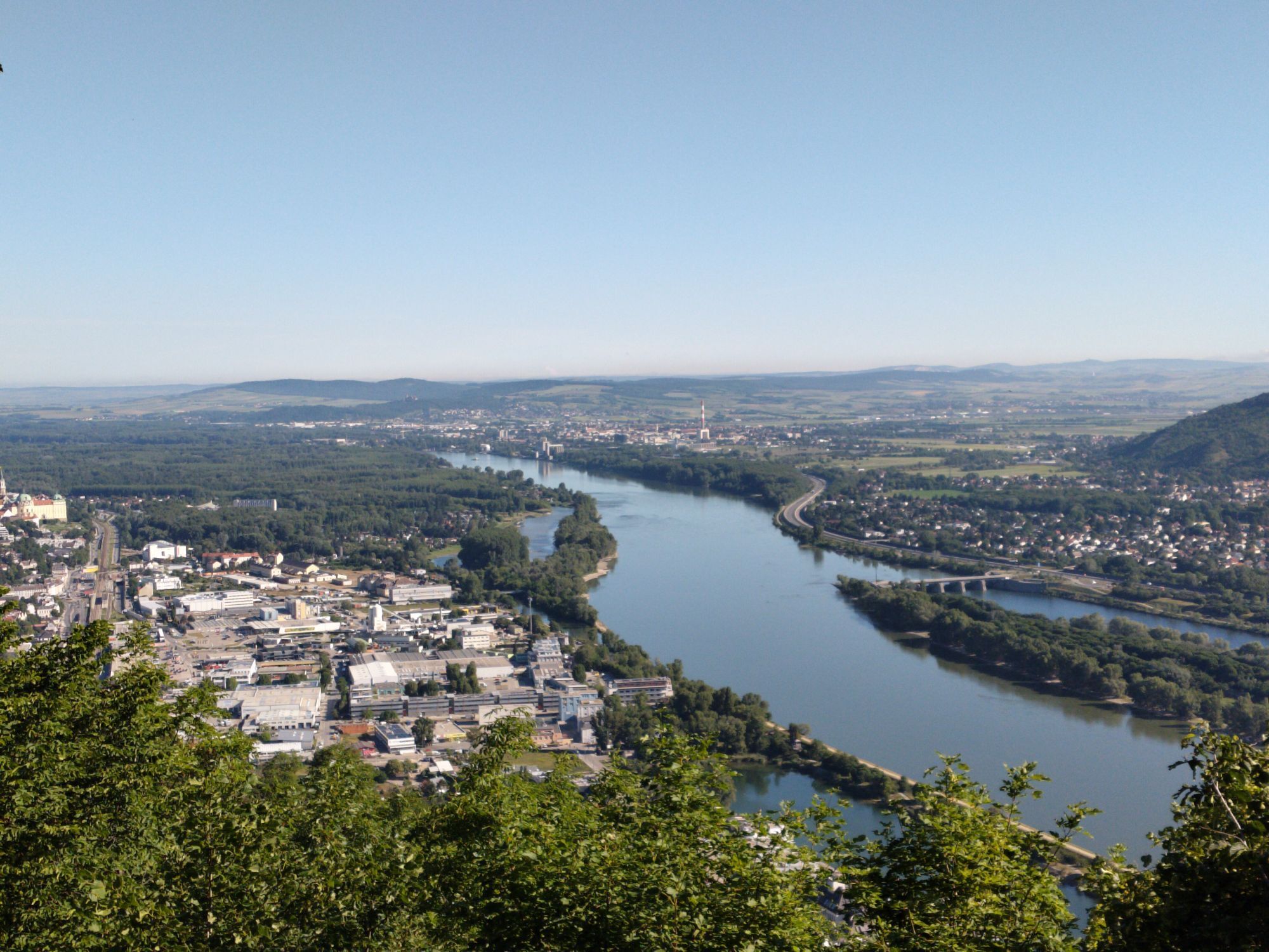
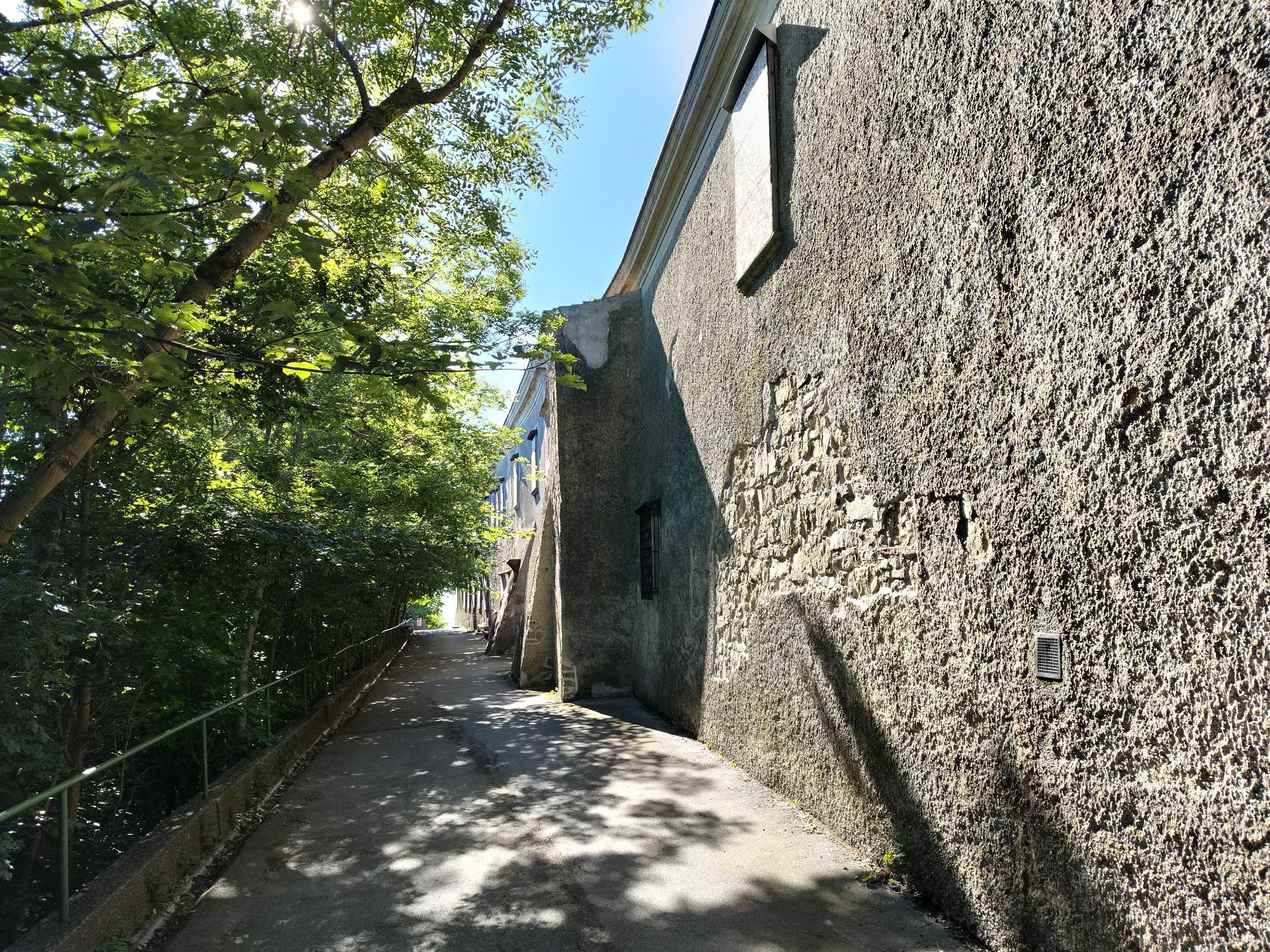
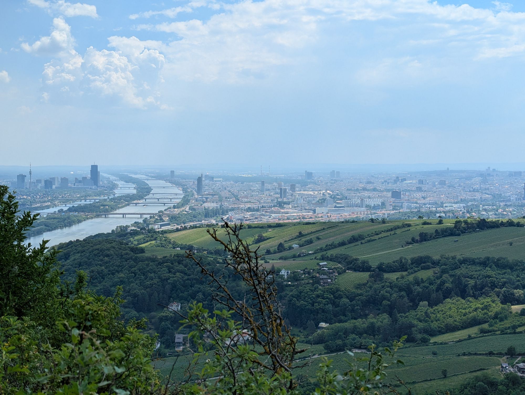
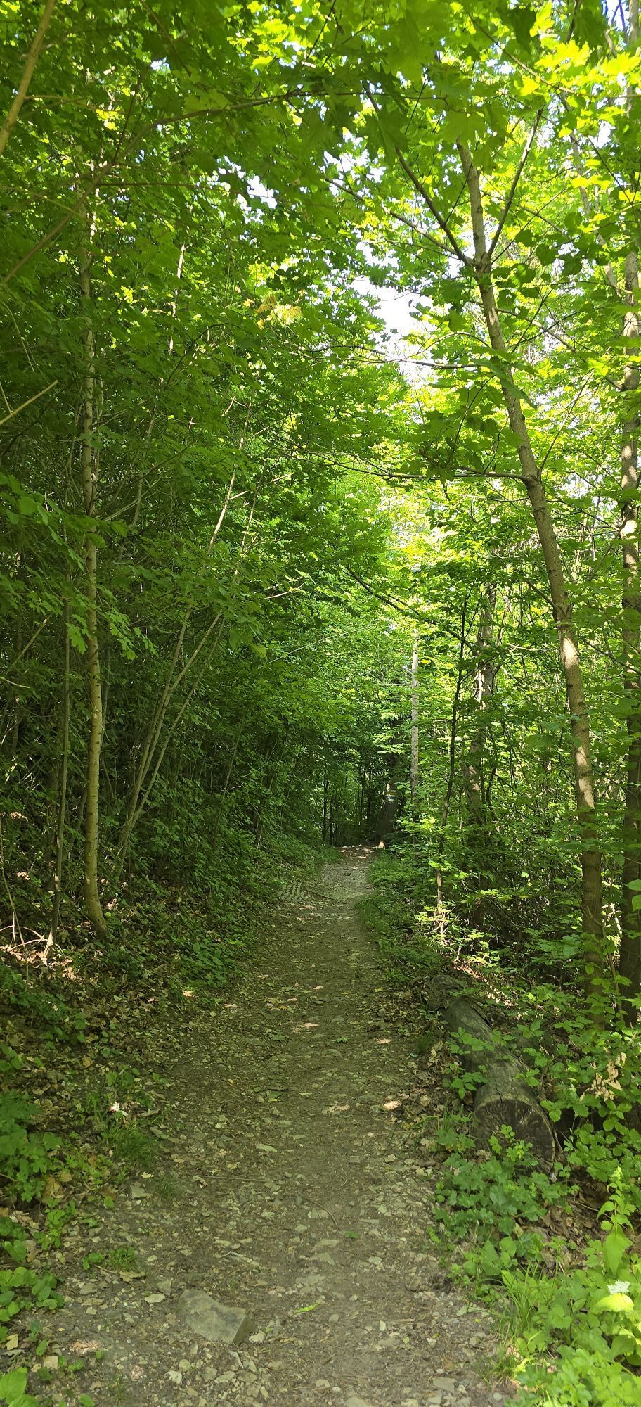
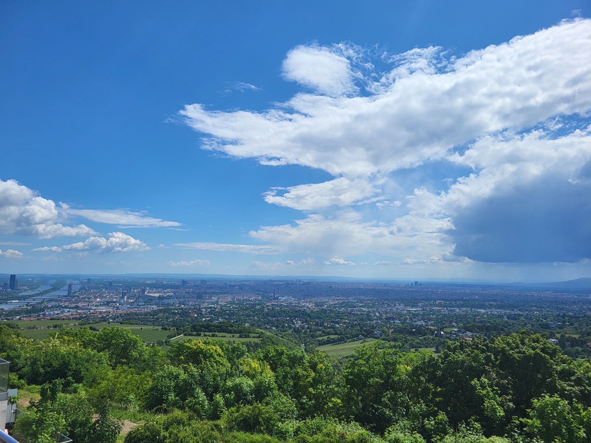
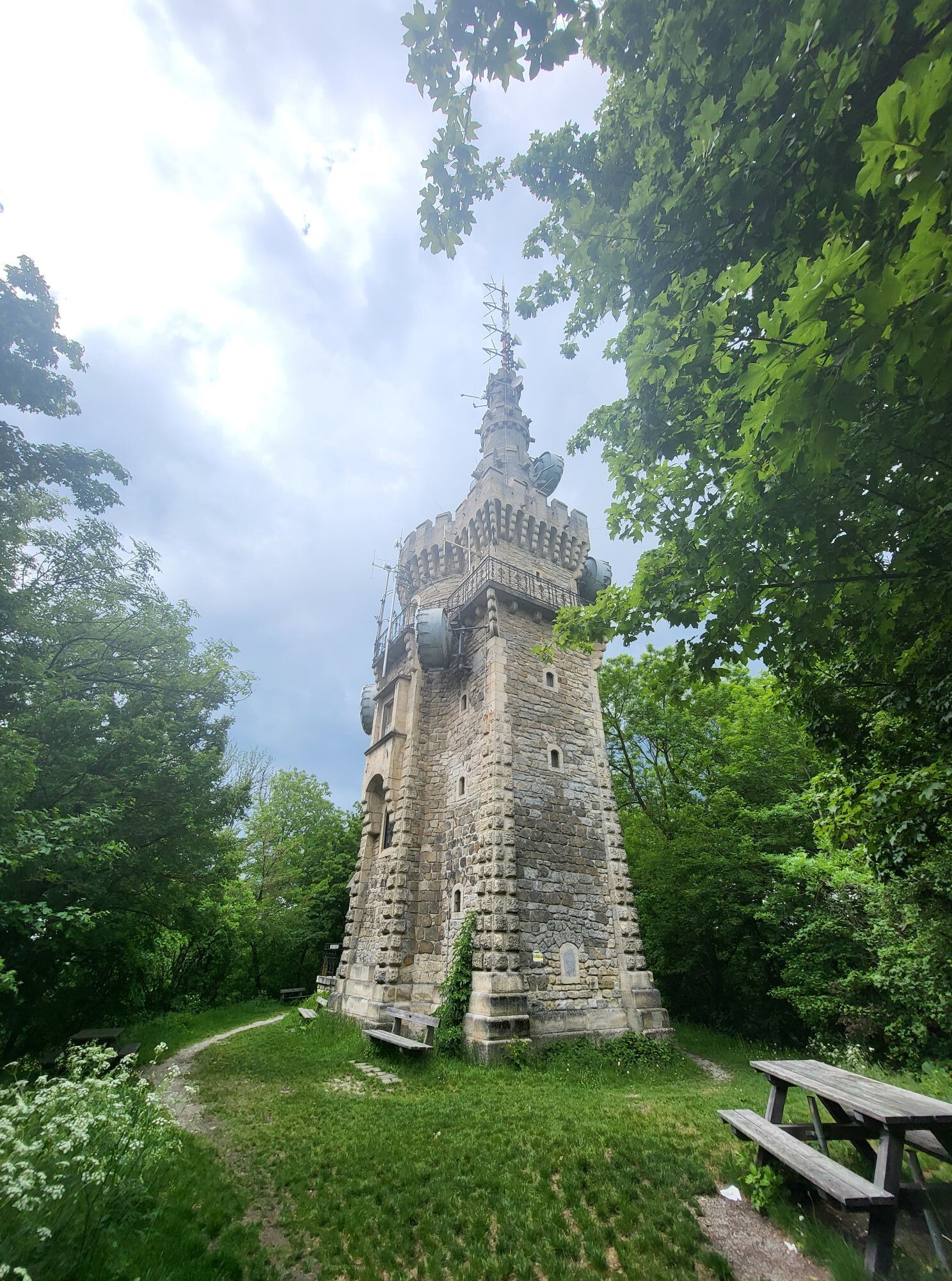
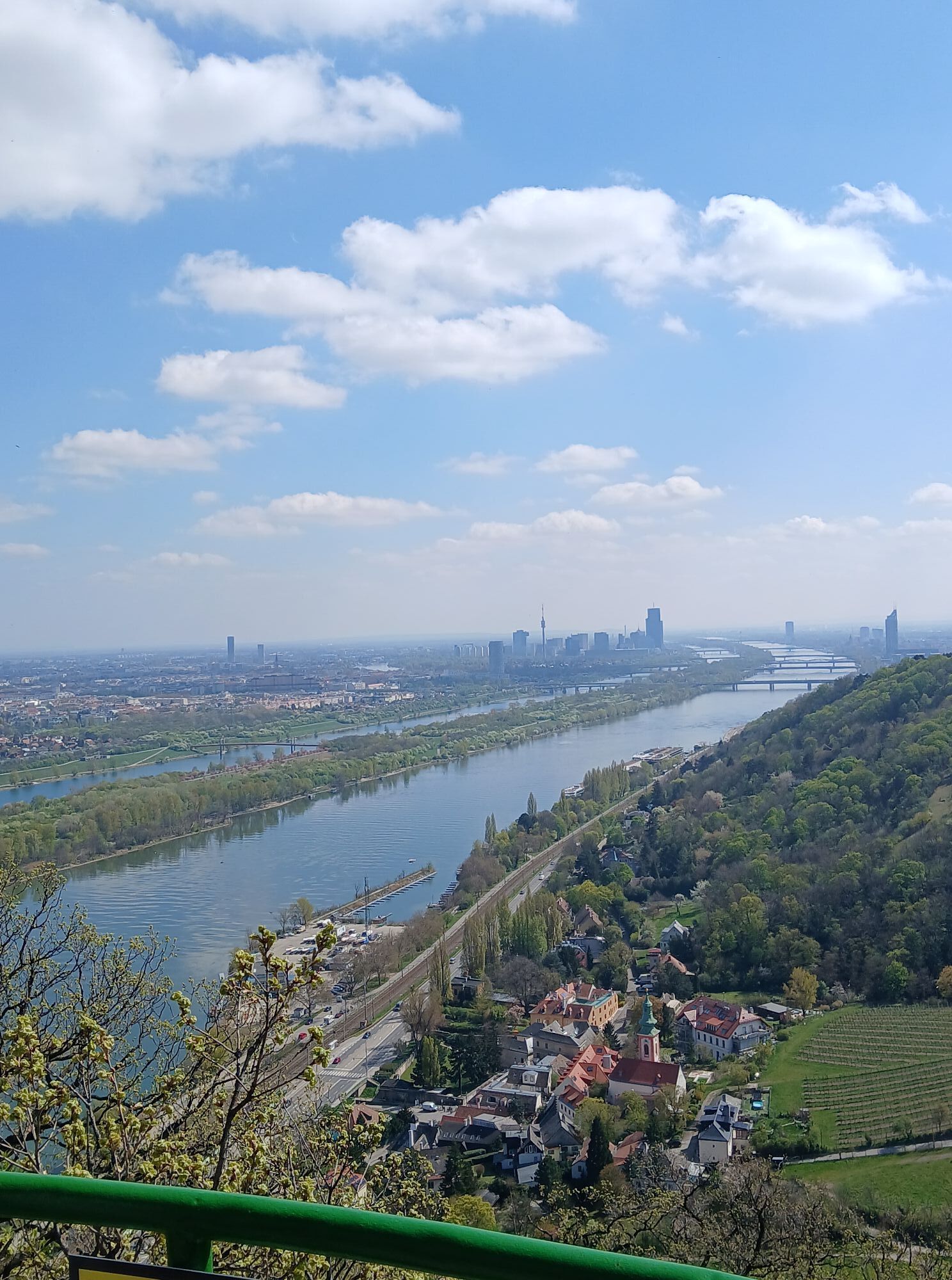
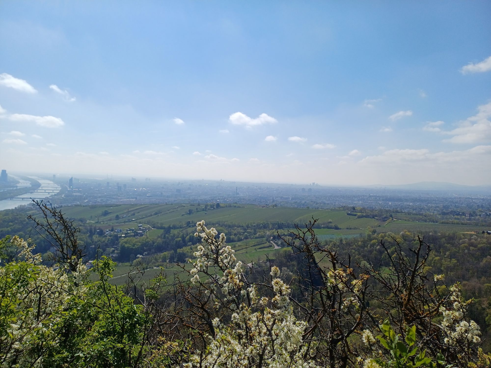
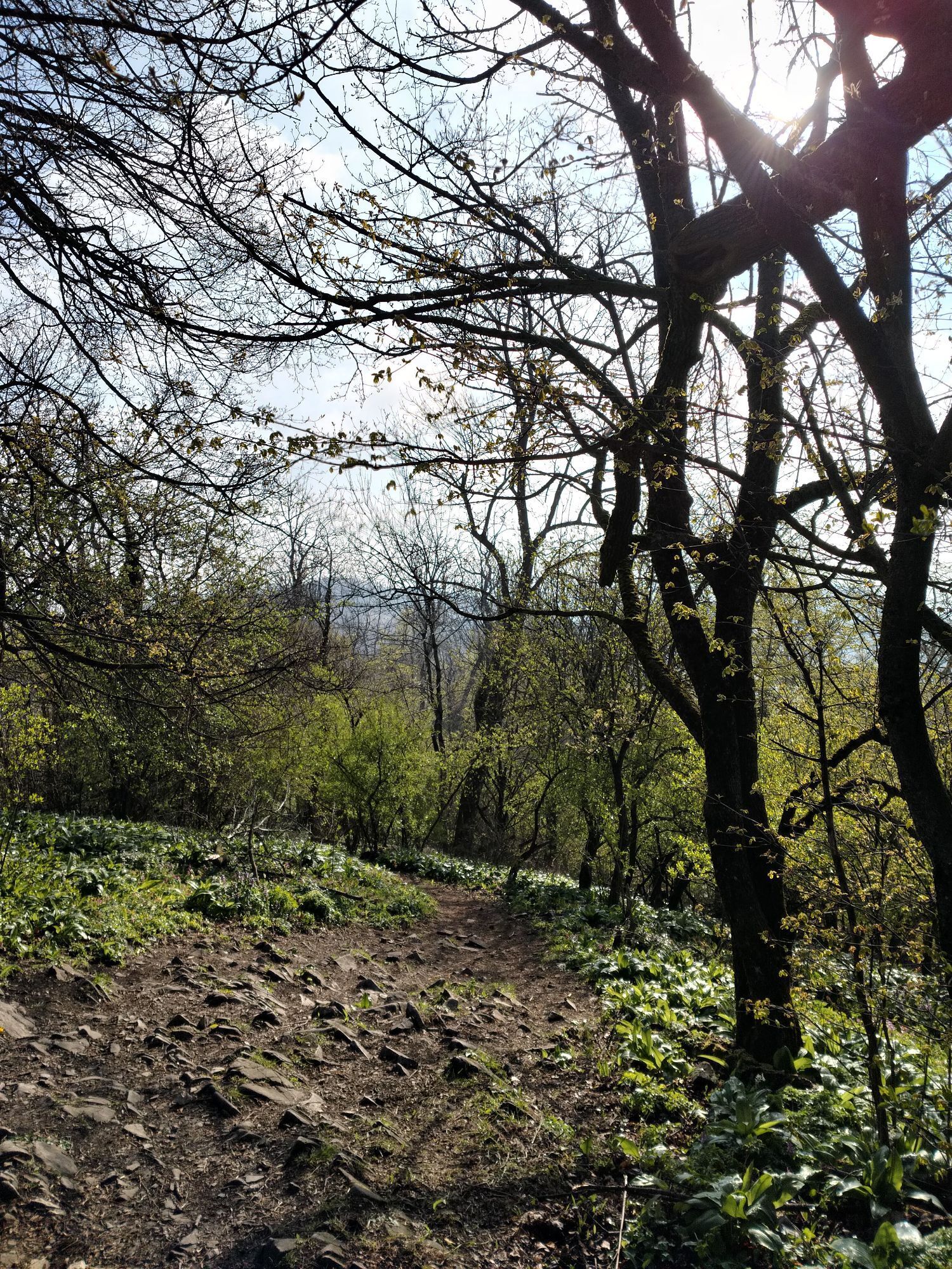
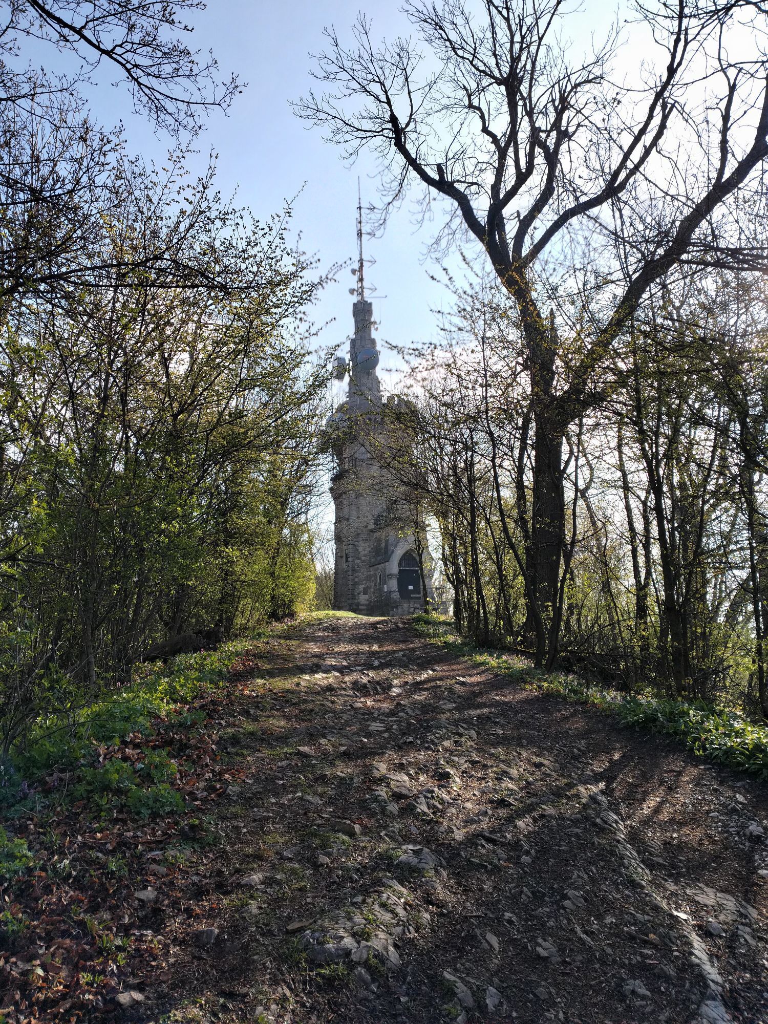
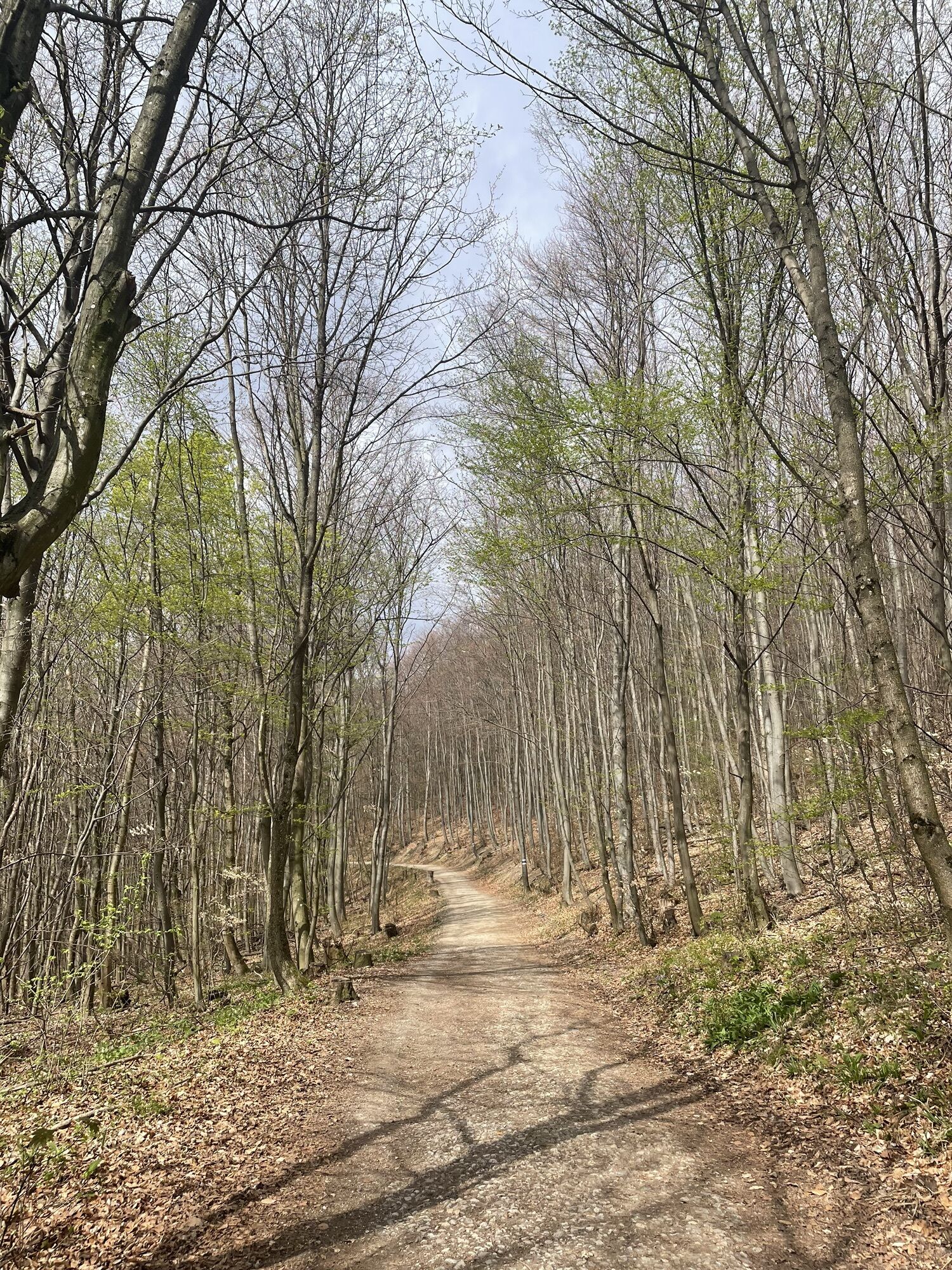
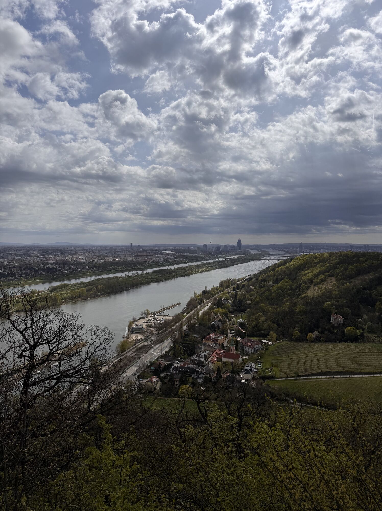
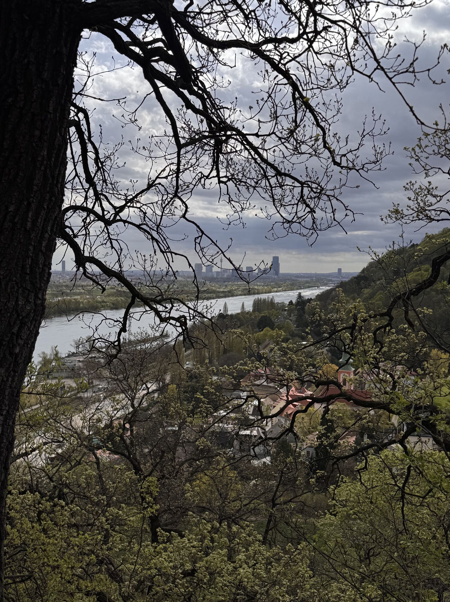
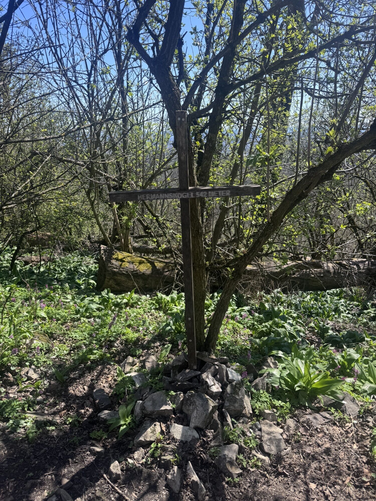
We start at the information board Stadtwanderweg 1a (Bloschgasse) heading southwest towards Geigeringasse, then continue right over St. Georg-Platz up the Waldbachsteig (green) until we reach an asphalt path, where we turn left towards Kahlenberg (Stadtwanderweg 1a). We reach Kahlenberger Straße and follow it until we turn right onto the forest path (red) and first follow it downhill to the left, then after some curves uphill to the right (yellow). At a clearing, we come to a T-junction and turn left towards Jägerwiese. Then we follow the signposts to Kreuzeiche (yellow) and from there continue to Jägerwiese (blue). Upon arrival at the “Gasthaus zum Agnesbrünnl”, we hike along the animal enclosure to Hermannskogel (red). At the T-junction we turn left and first reach Habsburgwarte, then Jägerwiese (right, yellow). Back at the inn, we follow the signposts right towards Kahlenberg (red). Along the main path, we arrive at a clearing (left, blue). Keeping right, we pass Sulzwiese to Höhenstraße (green). Now we keep left until after the bridge we turn left into the forest. We follow the blue markings past a traffic island and then left onto a forest road towards Leopoldsberg. Upon reaching a parking lot, we follow the red marking over Leopoldsberg to Nasenweg, over which we reach our starting point.
Sturdy footwear, water, rain protection
Despite careful research, unexpected short-, medium-, or long-term closures may occur on the routes (e.g., due to forestry closures by landowners). Recommended parking options may be private or subject to fees – please observe local signage. Some paths may pass partially or entirely through areas with fees (e.g., nature parks or gorges). This is usually explicitly mentioned in the description. All information is without guarantee and use of the paths is at your own risk. Any path closures and notices from hunting and landowners must be observed.
By bus to the stop "Wien Kahlenbergerdorf"
Scattered parking in Kahlenbergerdorf (observe short-term parking zones!)
Wienerwald Tourismus GmbH
Hautplatz 11, 3002 Purkersdorf
Tel.: 02231/62176
Email: office@wienerwald.info
Website: www.wienerwald.info
Places to eat along the route
Heuriger Zum Pospisil Schimanko’s Winzerhaus Buschenschank Taschler Skyline Lounge Restaurant Kahlenberg Schönstatt Café Bistro Gasthaus zum AgnesbrünndlUpdated on: 04.11.2020
 Pridobite vpogled
Vedno v živo na mestu z več kot 9.500 spletnimi kamerami. bergfex Kot uporabnik Pro si lahko zdaj ogledate ustrezne spletne kamere za številne izlete v aplikaciji izleti iz. Tako si lahko neposredno ogledate trenutne razmere.
Pridobite vpogled
Vedno v živo na mestu z več kot 9.500 spletnimi kamerami. bergfex Kot uporabnik Pro si lahko zdaj ogledate ustrezne spletne kamere za številne izlete v aplikaciji izleti iz. Tako si lahko neposredno ogledate trenutne razmere.


Priljubljeni izleti v okolici
-
4.9
Stadtwanderweg #2, Hermannskogel, Top of Vienna 😆
svetlobaPohodništvo 11.1 km -
4.9
Stadtwanderweg 1
svetlobaPohodništvo 11.1 km -
4.8
Stadtwanderweg 1a - Leopoldsberg / lt. Beschilderung
srednjaPohodništvo 10.2 km -
4.7
Königstetten-Figlwarte-Hainbuch-Königstetten
srednjaPohodništvo 9.30 km -
4.6
Nasenweg Leopoldsberg Rundweg
srednjaPohodništvo 4.08 km -
4.6
Stadtwanderweg 7 - Laaer Berg / lt. Beschilderung
svetlobaPohodništvo 14.2 km -
4.6
Stadtwanderweg 4
svetlobaPohodništvo 8.48 km -
4.6
Rundwanderung Gablitz Gemeindeamt - Troppberg - Rabenstein - Gablitz Gemeindeamt
svetlobaPohodništvo 12 km -
4.5
Stadtwanderweg 3, Hameau (lt. Beschilderung)
svetlobaPohodništvo 9.78 km -
4.5
Stadtwanderweg 5 Bisamberg (lt. Beschilderung)
svetlobaPohodništvo 10.5 km
Pohodništvo in sledenje


Ne zamudite ponudb in navdiha za naslednje počitnice
Vaš e-poštni naslov je bil dodan na poštni seznam.





