






Teufelsmauerweg


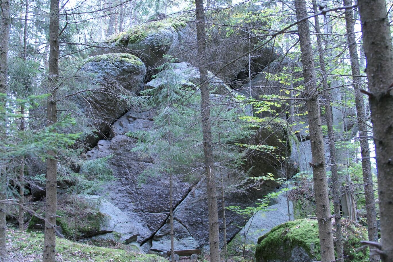

From the information platform in the town centre, walk about 200 meters on the B119 towards Arbesbach. Then turn left and pass the cemetery (old route number 3 continuous to Arbesbach) and the 1st European dog bathing pond. After about 15 minutes, you will reach the junction to the Teufelsmauer on the right. The Teufelsmauer is a huge rock formation with several small caves. For the return journey, follow the same path back.
Da
Sturdy footwear, functional clothing, sun and rain protection, map material, if necessary telescopic poles, first aid kit (blister plasters), sufficient provisions (snack, muesli bars, fruit, water).
Make sure that the route you choose matches your physical condition. Check whether the restaurants you want to visit on the way are open. Pack your charged mobile phone and map material in your backpack. For cross-border routes, always carry a passport or an identity card.
Coming from St. Pölten or Vienna via Krems to Zwettl on the B 38 to Groß Gerungs and from here to Altmelon or at the Merzenstein junction on the B 124 to Altmelon.
Coming from the west via A1 to Linz, A7 and B 124 to Altmelon.
All information about all bus and train lines to Waldviertel can be found at www.vor.at or www.oebb.at.
Parking lot Altmelon, information board
Market town Altmelon
3925 Altmelon 60
(T) +43(0)2813/292
(E) gemeinde@altmelon.gv.at
(I) www.altmelon.at
Waldviertel Tourismus
3910 Zwettl, Sparkassenplatz 1/2/2
(T) +43(0)2822/54109
(E) info@waldviertel.at
(I) www.waldviertel.at
Spletne kamere s turneje

Priljubljeni izleti v okolici
- 4.3
Wandern im Liebenauer Moor
svetlobaPohodništvo 4.16 km - 4.0
Burgstall-Wanderweg Nr. 3
srednjaPohodništvo 11.8 km - 4.7
Höllfall und Lohnbachfall
Pohodništvo 13.8 km - 4.8
Natur-Geheimnis-Pfad Nr. 5
svetlobaPohodništvo 4.04 km - 5.0
Kaltenberg - Kammererberg - Kammererkreuz - Rifflberg
srednjaPohodništvo 20.8 km - 5.0
Yspertal: Ysperklamm
srednjaPohodništvo 7.19 km - 4.8
PISCHING Ysperklamm, um den eh. Ödteich und wieder zurück
srednjaPohodništvo 8.20 km - 5.0
Bärnkopf Ysperklammweg Nr. 64
srednjaPohodništvo 16.6 km - 4.6
Rappottenstein
svetlobaPohodništvo 10.1 km - 4.7
Bärnkopf Dürnbergstrecke
srednjaMountainbike 18.7 km
Pohodništvo in sledenje


Ne zamudite ponudb in navdiha za naslednje počitnice
Vaš e-poštni naslov je bil dodan na poštni seznam.





