







Gipfelklaenge 2026 - Wanderung Sonntag
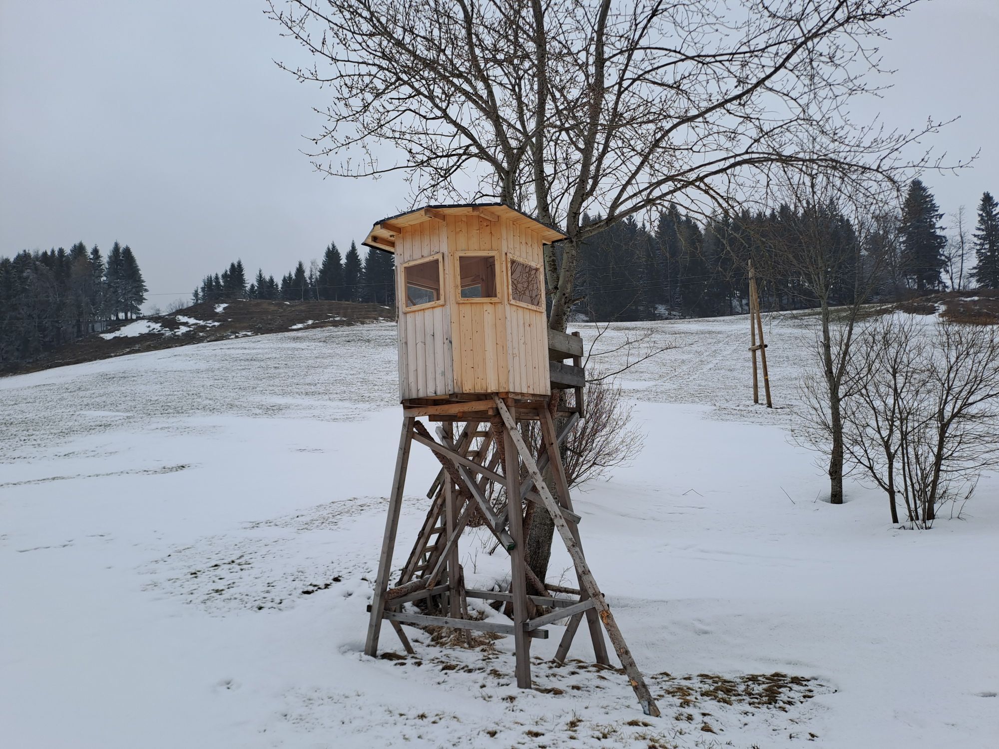
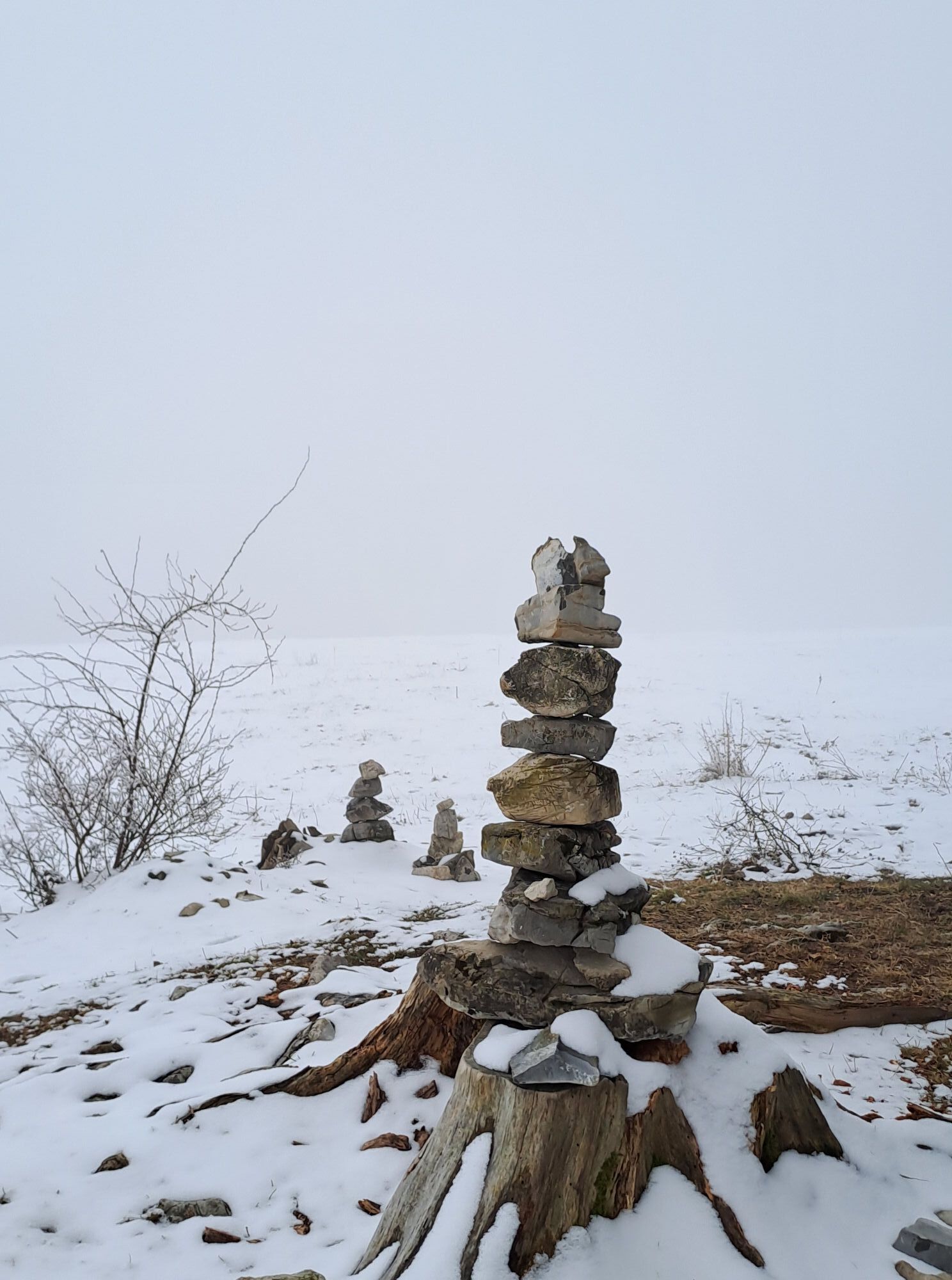
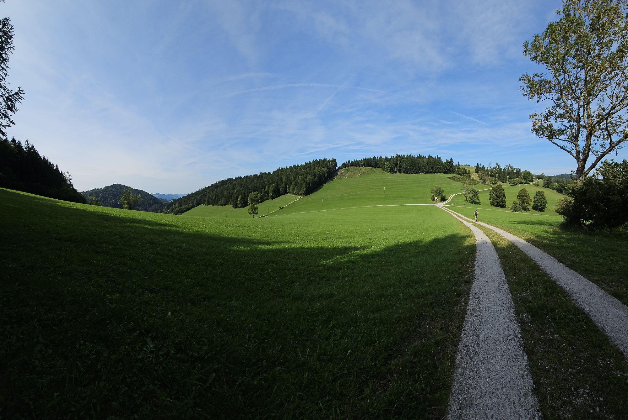
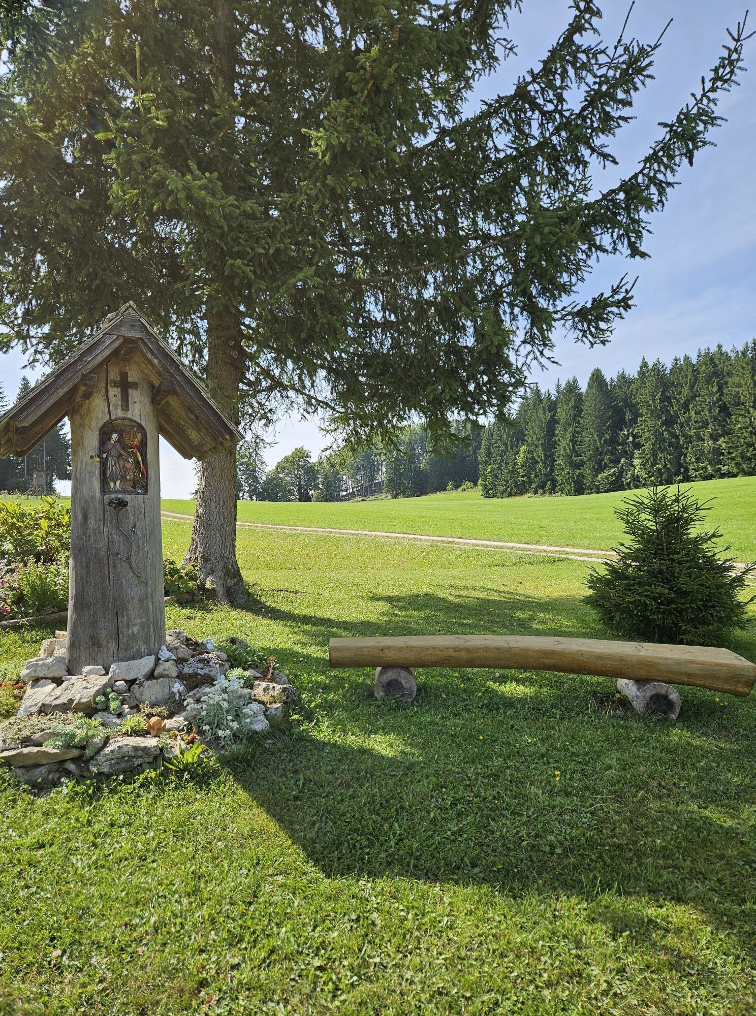
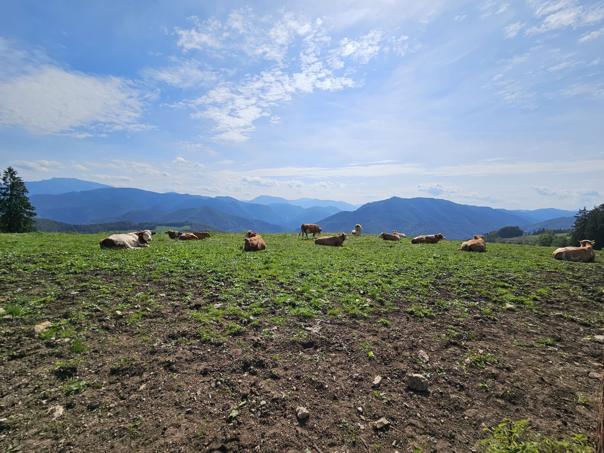
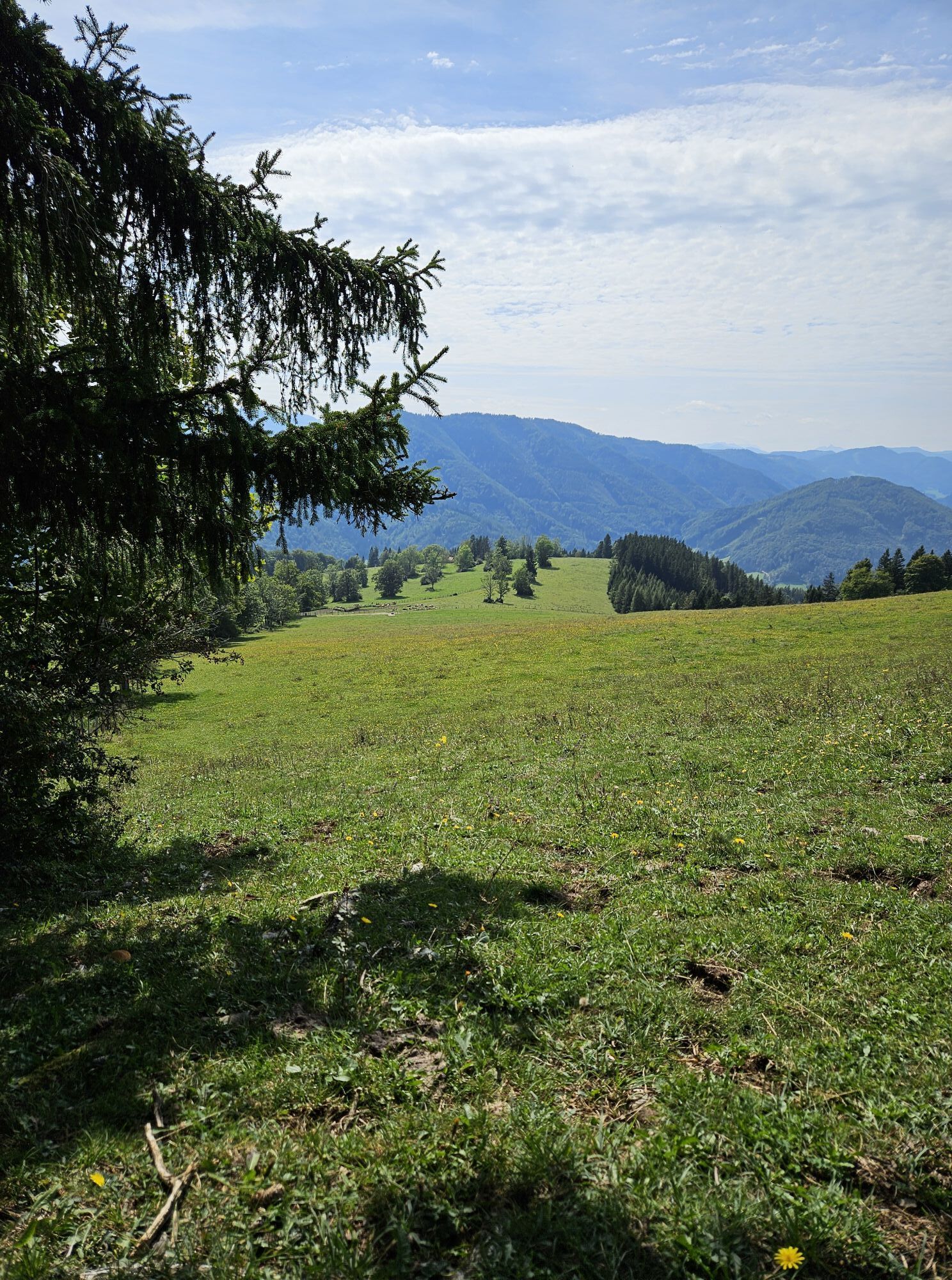
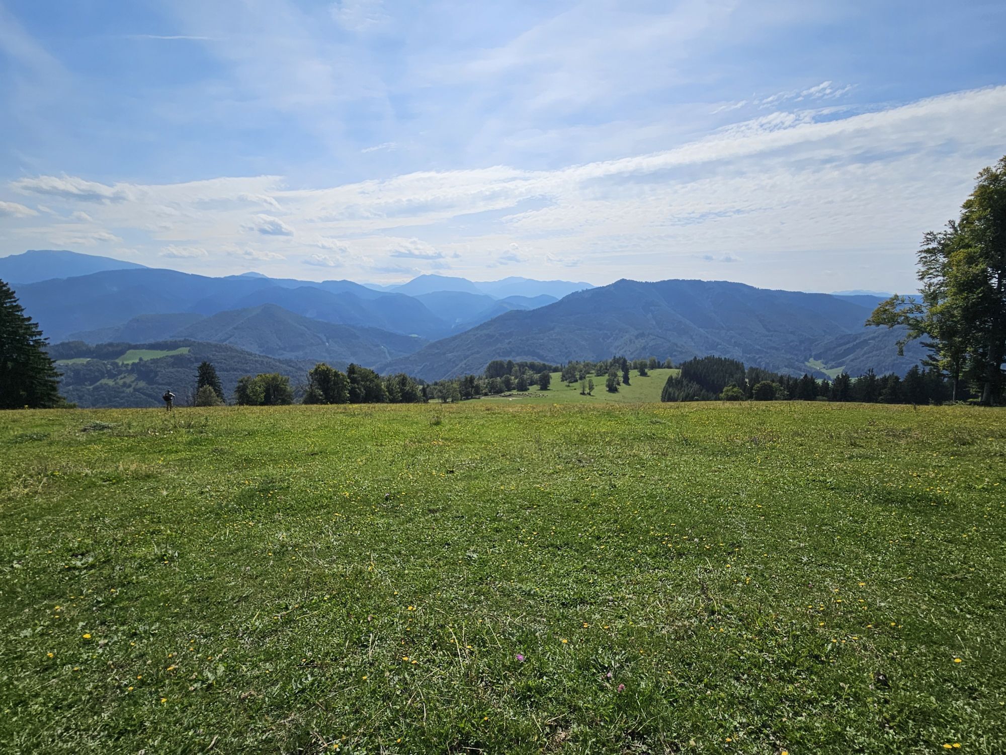
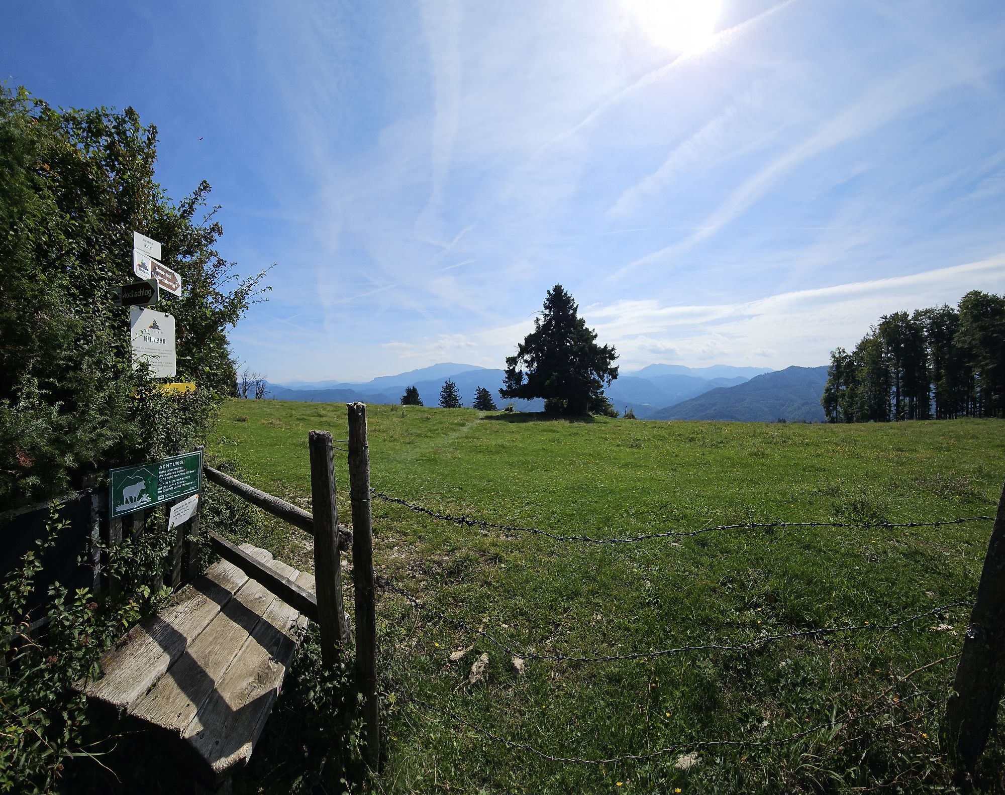
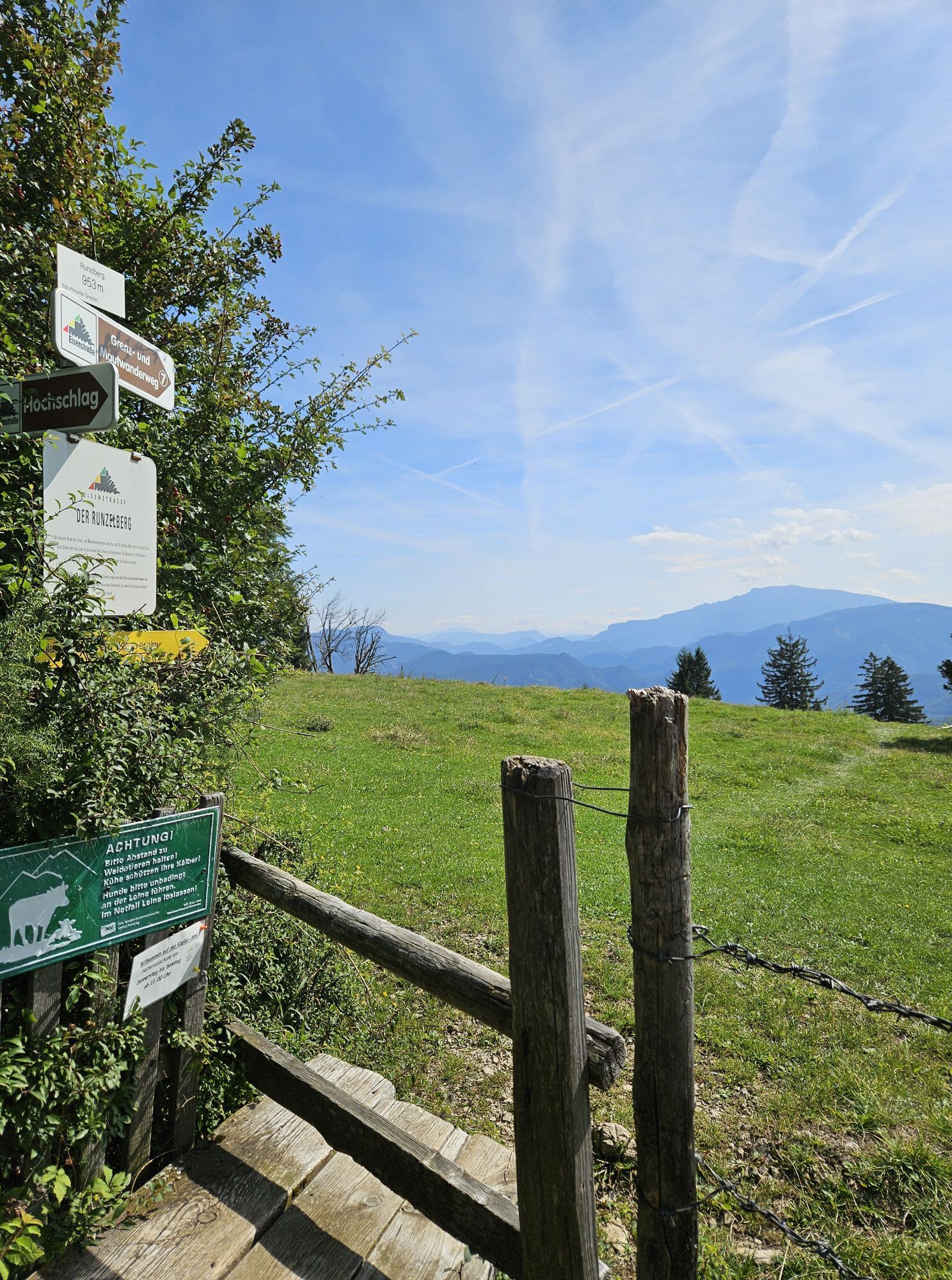
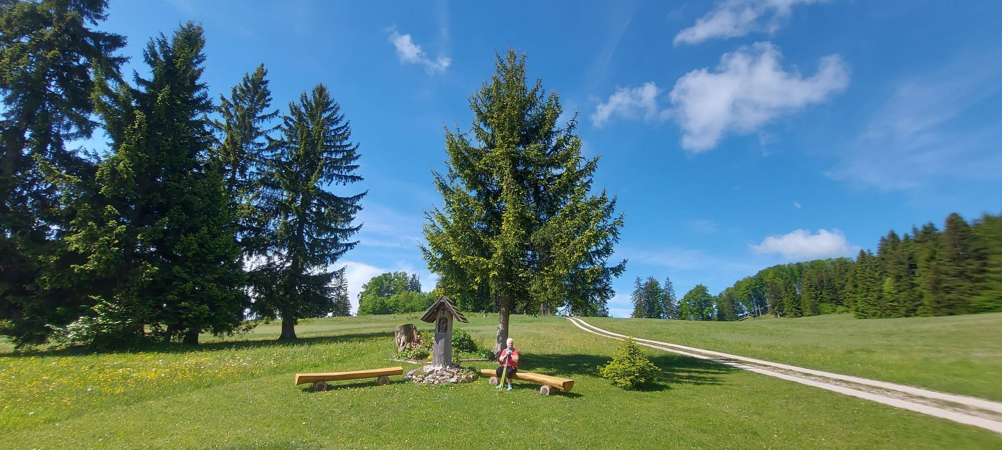
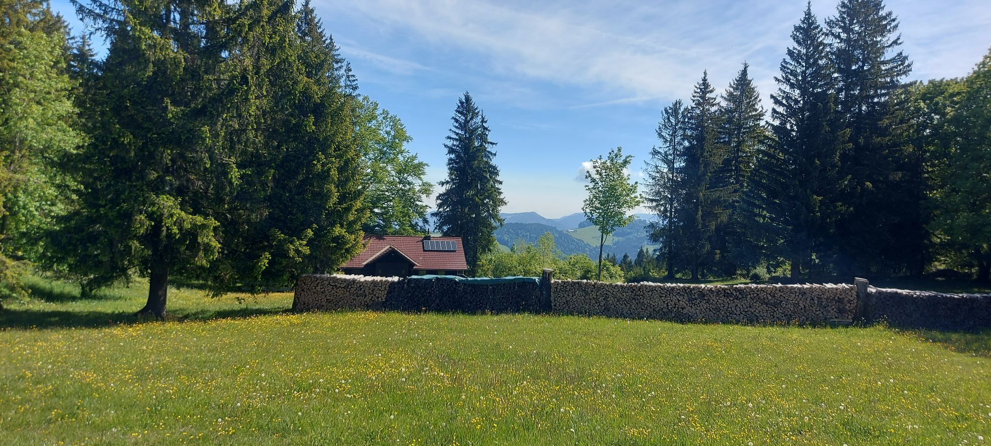
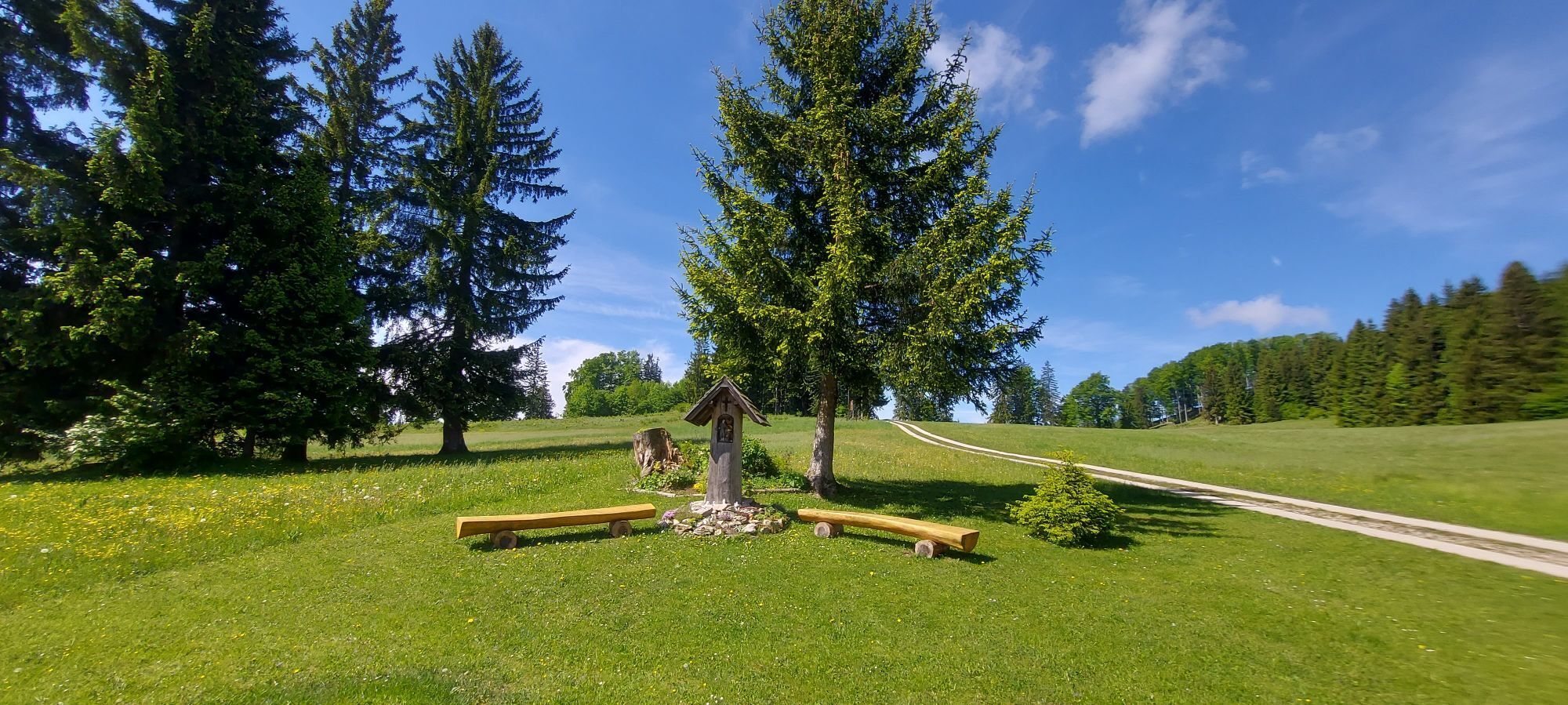
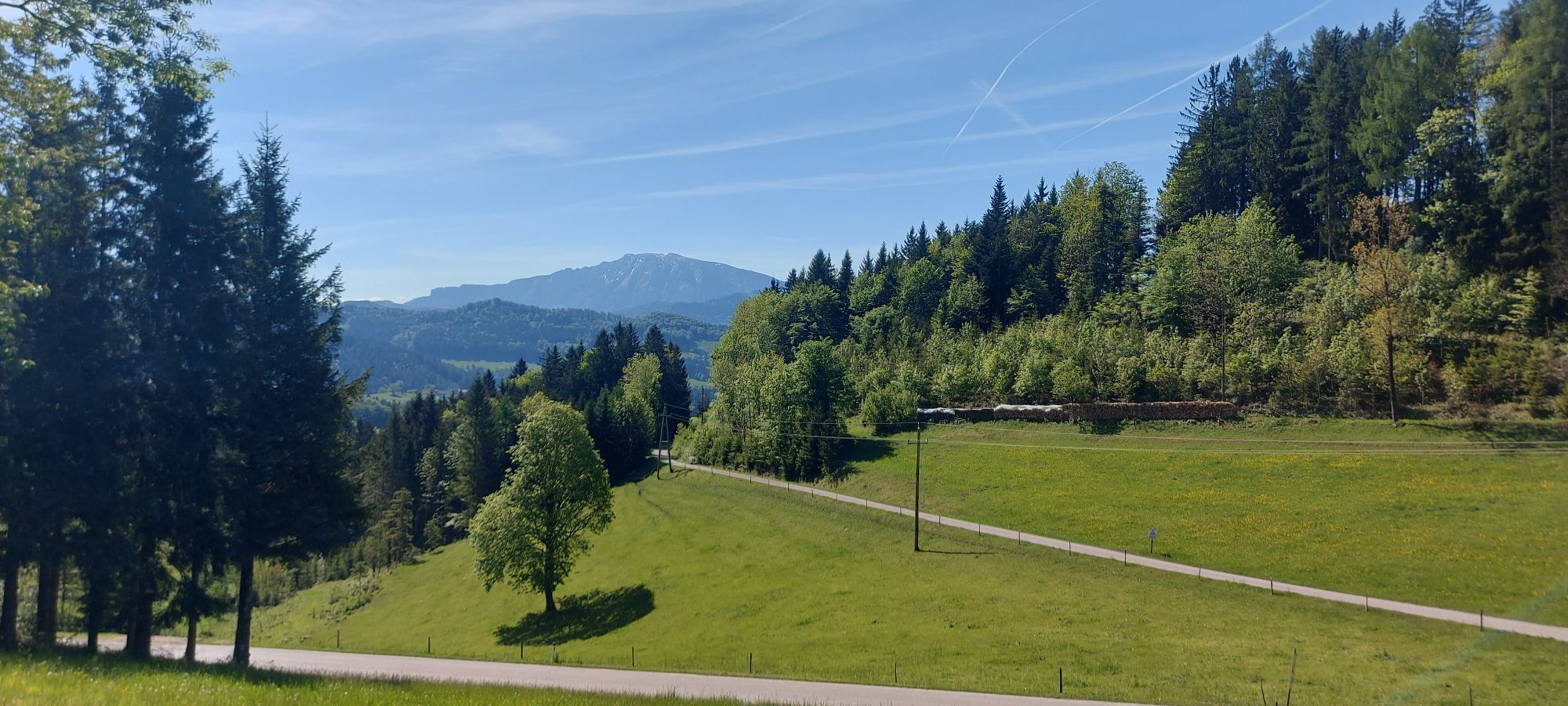
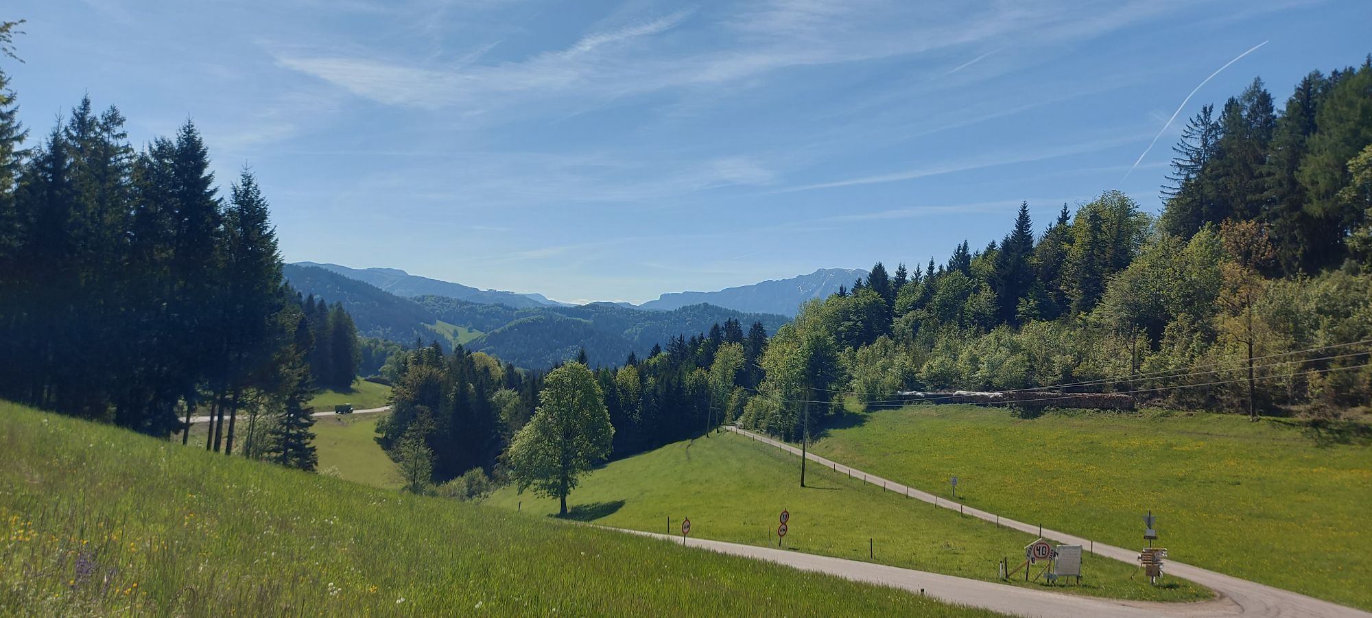
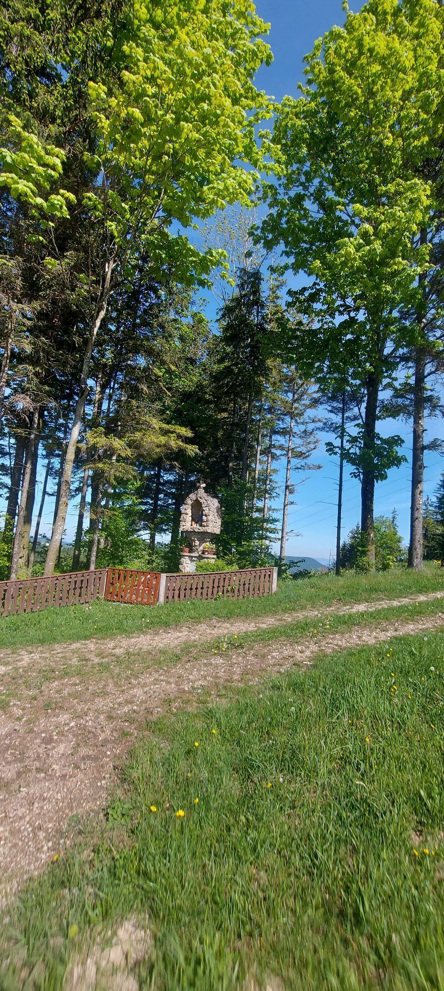
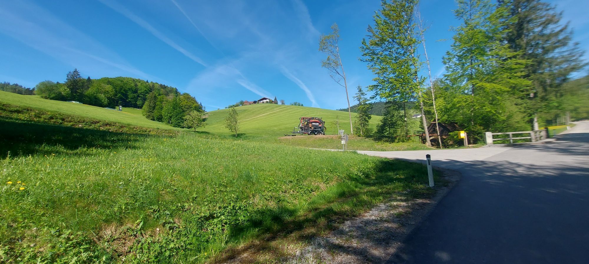
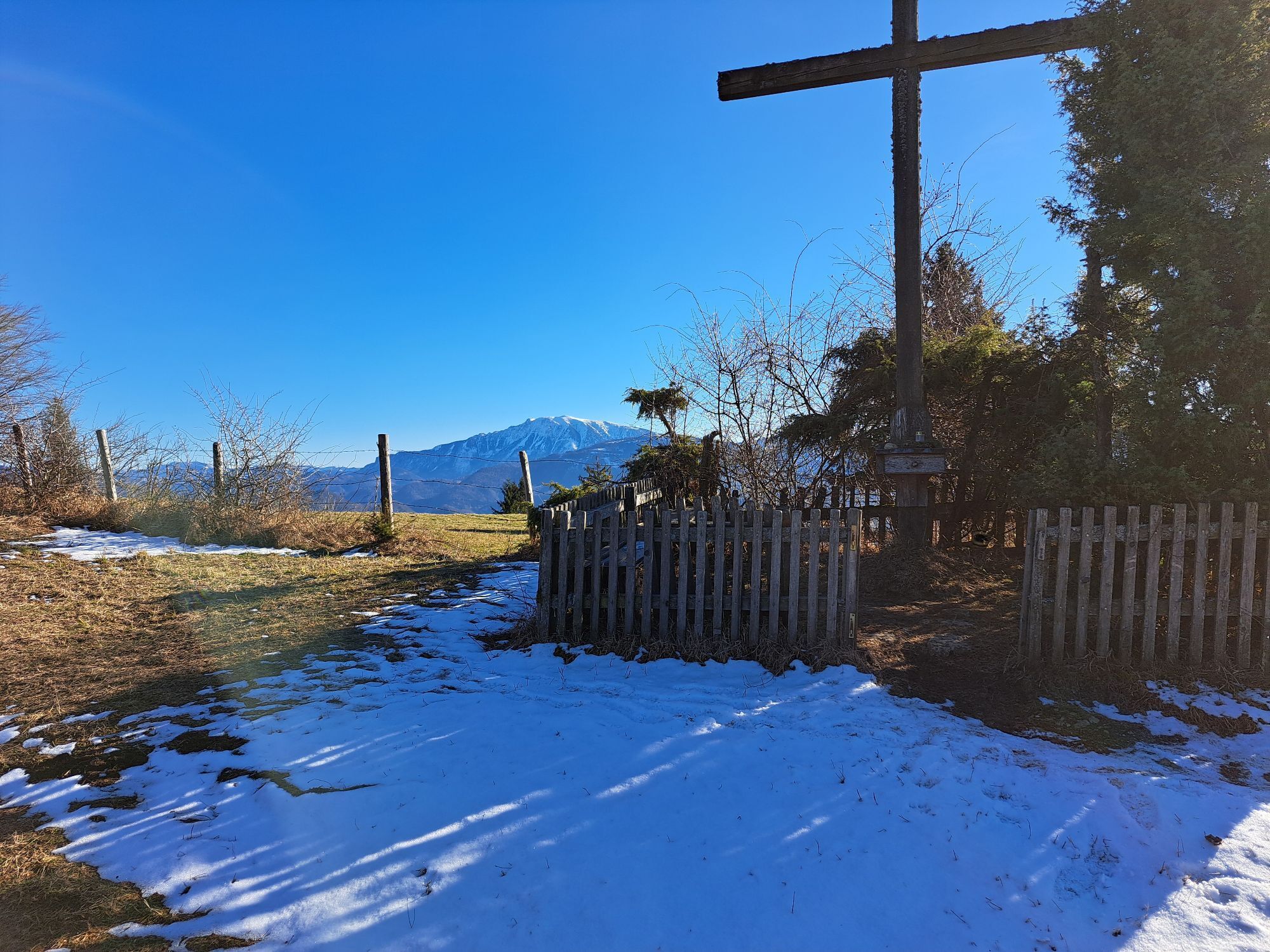
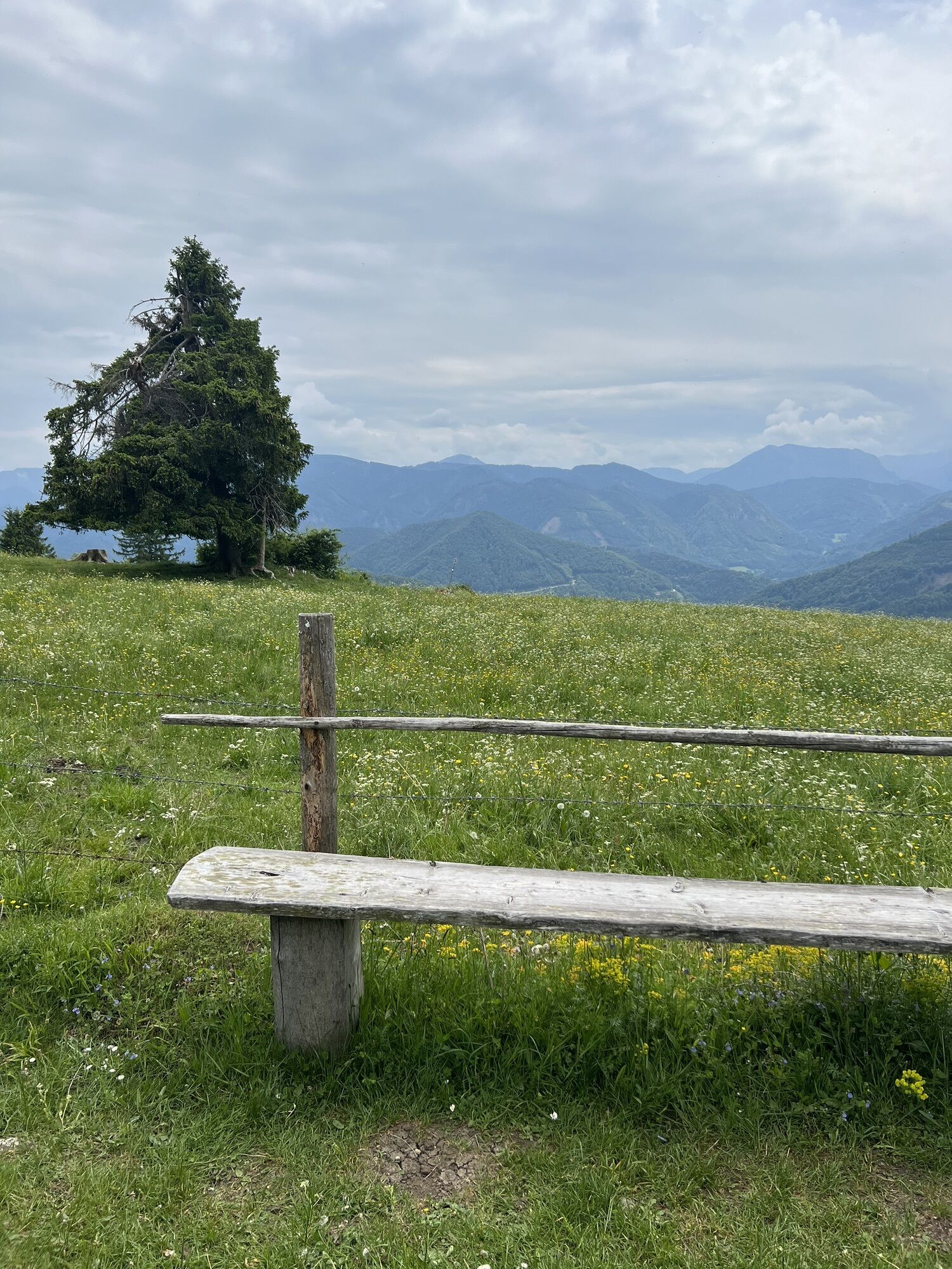
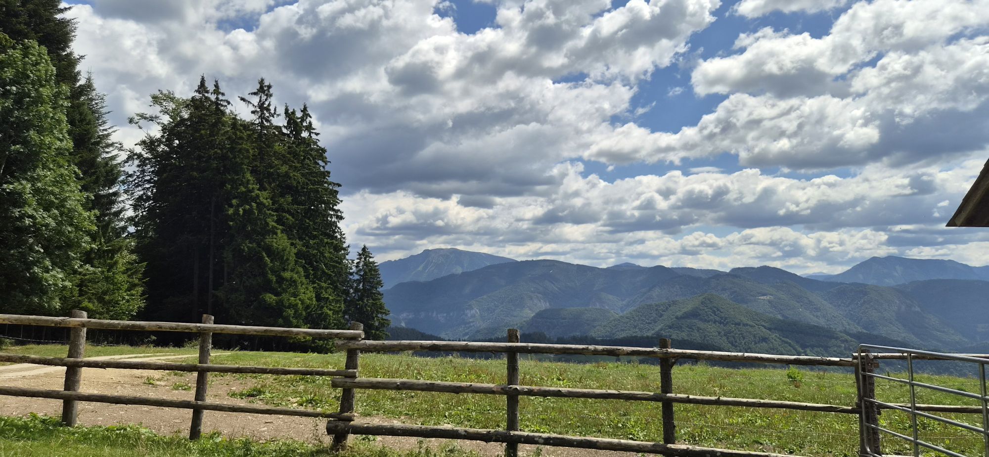
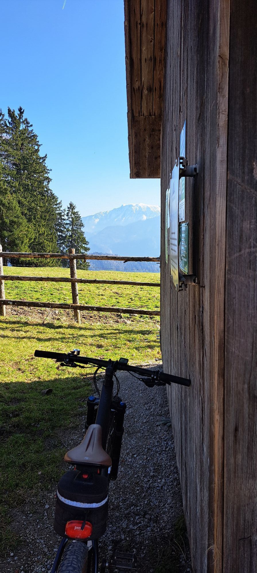
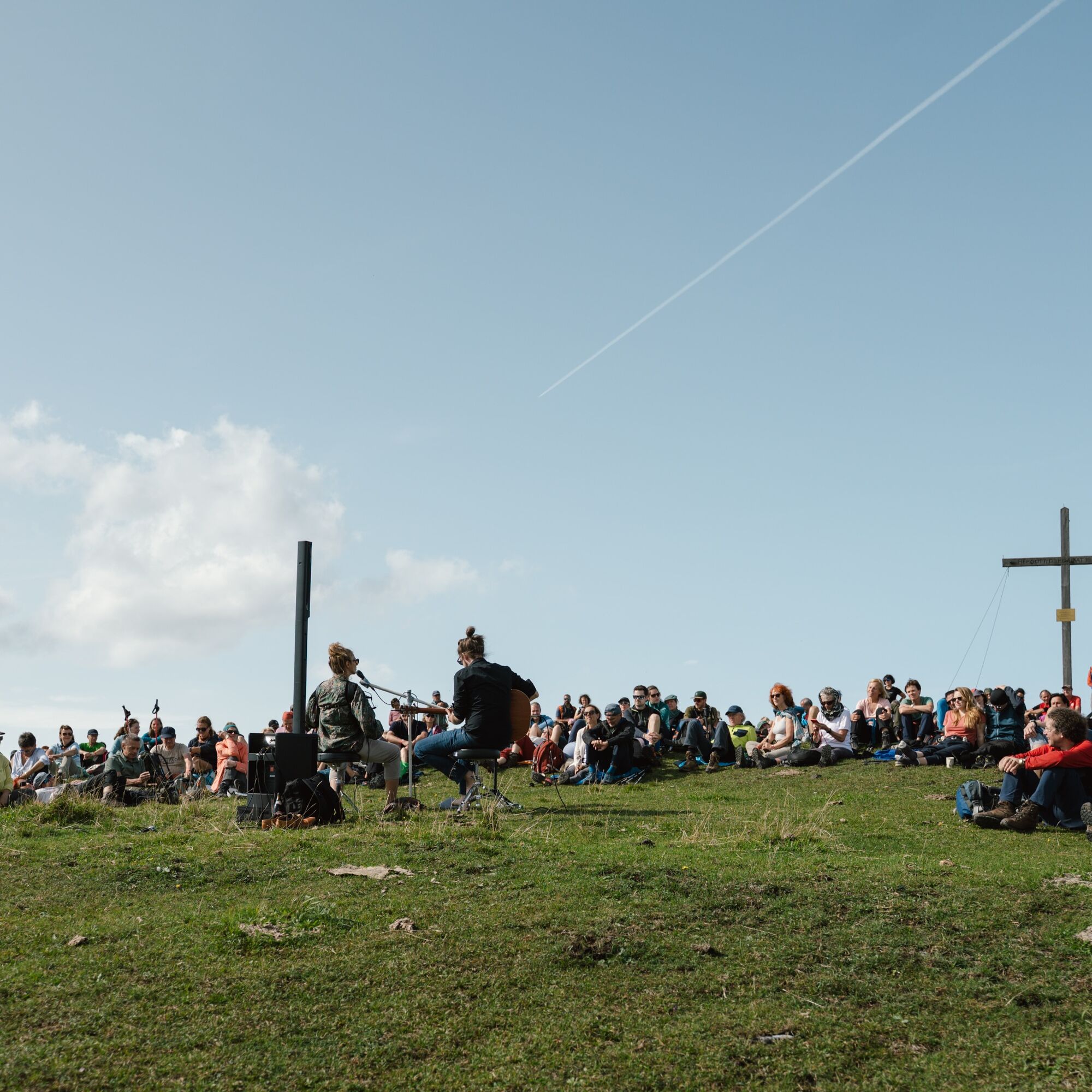
The Buchberg High-Altitude Loop: Starting at the Einkehrhof Poggau, where the La Travesía Quintetwill kick off theday with music, the route continues over the Kraxenberg to the Waaghütte, with an optional...
The Buchberg High-Altitude Loop: Starting at the Einkehrhof Poggau, where the La Travesía Quintetwill kick off theday with music, the route continues over the Kraxenberg to the Waaghütte, with an optional summit hike to the Runzelberg (+20–30 minutes). After a midday snack and the concert by“Ana Schena Ois Da Aundare,” participants make their own way back via Groß Bichl to the Einkehrhof Poggau.
For complete information on the program and artists of Gipfelklaenge 2026, visit www.gipfelklaenge.at!


Poggau Rest Stop – Kraxenberg – Waaghütte – Groß Bichl – Poggau Rest Stop
Sturdy shoes, sunscreen, and water.
Also: Hiking poles help you walk, provide better balance, and thus make hiking safer.
The Mayer Family
Buchberg 18
3264 Reinsberg
To help preserve our pristine mountain landscape and protect the climate, we encourage you to travel to the Gipfelklaengen by public transportation, electric vehicles, or the ÖBB “Rail&Drive” service, or to carpool.
Below is a summary of all the information you need to get to Reinsberg:
TRAVELING BY PUBLIC TRANSPORT
Take the train to Amstetten or Sankt Pölten Central Station, and from there, take a climate-friendly electric vehicle from Rail & Drive.
CARPOOL AND SAVE GAS
Travel to the Gipfelklaengen in an eco-friendly way and get in the mood on the way there: Find the right ride-share option for you or share your available seats in your car. Use the ride-share platform at www.gipfelklaenge.at.
BY CAR
Directions from Vienna or Linz:
A1 Highway – Ybbs exit (Exit 100), take the B25 toward Scheibbs; after about 19 km, turn right toward Gresten (B22); after about 8 km, turn left
Einkehrhof Poggau: Drive through the village of Reinsberg and up and over the Buchberg. After 1 km or two hairpin turns downhill, turn left toward Einkehrhof Poggau:
Alternatively, take the B25 Erlauftal federal highway—in Kienberg, turn onto the L92, and after 700 m, turn right onto the L6155 toward Reinsberg. After 5 km, turn right toward Einkehrhof Poggau.
Parking is available along the street and in the fenced-off areas of the meadow. Please park in a space-saving manner and do not park haphazardly.
Pridobite vpogled Vedno v živo na mestu z več kot 9.500 spletnimi kamerami. bergfex Kot uporabnik Pro si lahko zdaj ogledate ustrezne spletne kamere za številne izlete v aplikaciji izleti iz. Tako si lahko neposredno ogledate trenutne razmere. Priljubljeni izleti v okolici
- 4.4
Das 3 Seen-Erlebnis (Lunzer See - Mittersee - Obersee)
srednjaPohodništvo 9.33 km - 4.3
Rund um den smaragdgrünen Lunzer See
svetlobaPohodništvo 4.80 km - 5.0
Von Lackenhof auf den Ötscher
svetlobaPohodništvo 5.29 km - 4.9
Panoramic summit Maiszinken - alpine experience included
srednjaPohodništvo 12.6 km - 4.9
Lackenhof ÖTSCHER Rauer Kamm 19.10.2014
težkoPohodništvo 14.1 km - 4.8
Trefflingfall über Hochbärneckhütte
srednjaPohodništvo 12.2 km - 4.5
Gföhler Alm - Rainstock - Schleierfall
srednjaPohodništvo 13.6 km - 4.8
Erlaufschlucht
svetlobaCanyoning 4.58 km - 4.3
Prochenberg von Ybbsitz
svetlobaPohodništvo 6.29 km - 3.7
Auf den Blassenstein
svetlobaPohodništvo 8.30 km
Pohodništvo in sledenje


Ne zamudite ponudb in navdiha za naslednje počitnice
Vaš e-poštni naslov je bil dodan na poštni seznam.





