


Federal Armed Forces
Allentsteig is located in the heart of the Waldviertel with a beautiful town lake, surrounded by beautiful forests and fields. The numerous hiking trails offer relaxation and a change from everyday life...
Allentsteig is located in the heart of the Waldviertel with a beautiful town lake, surrounded by beautiful forests and fields. The numerous hiking trails offer relaxation and a change from everyday life in a stress-free environment. Those interested in culture can admire two works of art, among other things, while hiking along the edge of the town lake and in the town center. If you really want to experience "pure nature", the hiking trails on the edge of the military training area, which lead through untouched natural landscapes, are just right for you.

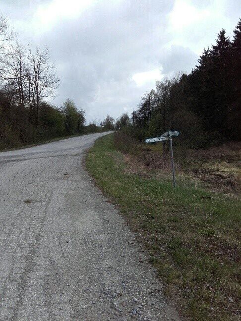
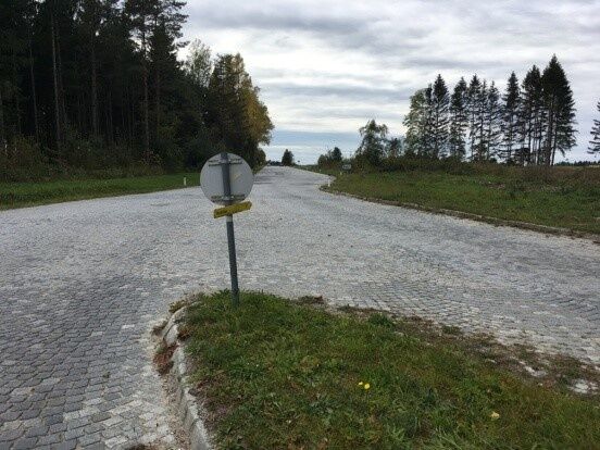
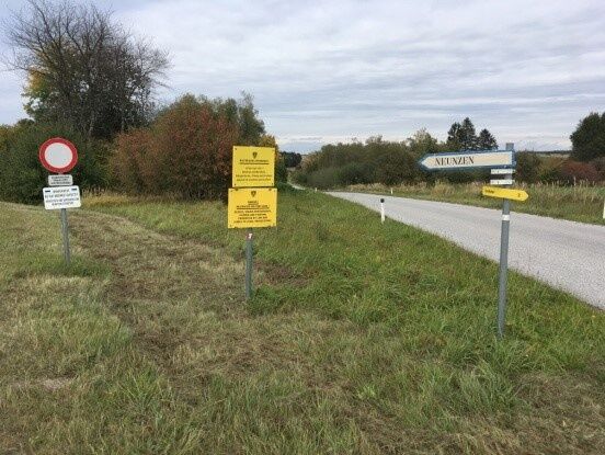
The path leads you through the military training area. With a bit of luck, you will see wildlife in the wild. You pass by the tennis courts and the equestrian facility of the HSV (Army Sports Club) towards Wurmbach (only the chapel remains of the village). Then you take the path to Neunzen (also resettled, only the chapel still exists). You go straight ahead to Lagerstraße and hike towards the "Kaufholz" camp. On the tank road you reach the soldiers' cemetery. From there you go back via the main road to Brunnenplatzl in Allentsteig.
Sturdy footwear, functional clothing, sun and rain protection, maps, if necessary trekking poles, first aid kit (blister plasters), sufficient supplies (snack, muesli bars, fruit, water).
Make sure your route suits your fitness level. Check whether the gastronomy businesses you plan to visit are open. Pack your charged mobile phone and maps in your backpack. For cross-border routes please always carry a passport or ID card.
Vienna: A 22 - Stockerau - B4 to Horn - B2 to Brunn an der Wild - turn left on B32 to Winkel, then turn right on L56 to Allentsteig
Linz: A 7 towards Freistadt - B 310 to Freistadt - B 38 to Karlstift, turn right there and drive to Zwettl - in Zwettl head towards Gmünd on B 36 - at Gerotten turn onto L 67 and drive to Allentsteig.
All information about all bus and train lines to the Waldviertel can be found at www.vor.at or www.oebb.at.
Municipality of Allentsteig
Hauptstraße 23, 3804 Allentsteig
(T) +43 (0)2824 / 23 10
(E) gemeinde@allentsteig.gv.at
(I) www.allentsteig.gv.at
Waldviertel Tourism
3910 Zwettl, Sparkassenplatz 1/2/2
(T) +43 (0)2822/54109
(E) info@waldviertel.at
(I) www.waldviertel.at
Priljubljeni izleti v okolici
-
4.2
Stauseerunde
srednjaPohodništvo 9.56 km -
4.2
Stausee Ottenstein
svetlobaPohodništvo 5.13 km -
4.4
Teiche-Radroute (Strecke 2020) Niederösterreich
srednjaKolesarjenje 48.7 km -
4.2
Kampseen Rundweg Thurnberg - Krumau am Kamp
svetlobaPohodništvo 9.04 km -
4.0
80 Natur - Energie - Kraft
Pohodništvo 10.8 km -
Dobrasee Strecke (Mountainbike Waldviertel)
Mountainbike 70.4 km -
3.2
Knödel-Landradweg
srednjaKolesarjenje 42.6 km -
4.5
Kampseerunde
Pohodništvo 13.7 km -
4.8
Ottenstein Stausee - Uferwanderung
svetlobaPohodništvo 8.52 km -
Dobrasee-Strecke über Trail
srednjaE-MTB 40.3 km

Pohodništvo in sledenje


Ne zamudite ponudb in navdiha za naslednje počitnice
Vaš e-poštni naslov je bil dodan na poštni seznam.