


VIA.VINUM. - circular route Stixneusiedl
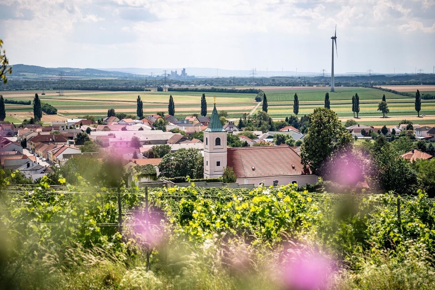
The wine-growing village of Stixneusiedl is the start and finish of the circular hike and offers a varied wine experience with its romantic wine cellar lanes, historic town center and winegrowers. The...
The wine-growing village of Stixneusiedl is the start and finish of the circular hike and offers a varied wine experience with its romantic wine cellar lanes, historic town center and winegrowers. The extensive walk leads through the colorful cultural landscape of the Arbesthaler Hügelland and connects to the hiking circuits of the wine villages of Göttlesbrunn and Arbesthal.
With the free mobile app "Hiking trails Römerland Carnuntum", hikers can listen to entertaining stories - historical, legends, traditions and much more - about the region. - Download the app onto your smartphone, either online as a WebAppor as a native app, which does not require an internet connection on site. Your position is displayed on a map as you hike - so you stay on the right path! Google Play Store or App Store
Start Stixneusiedl - Arbesthal
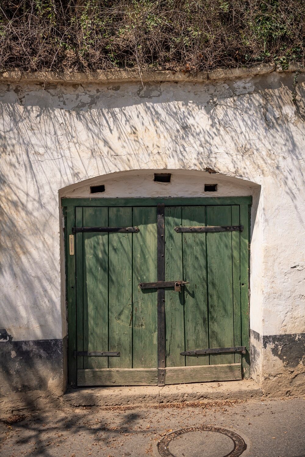
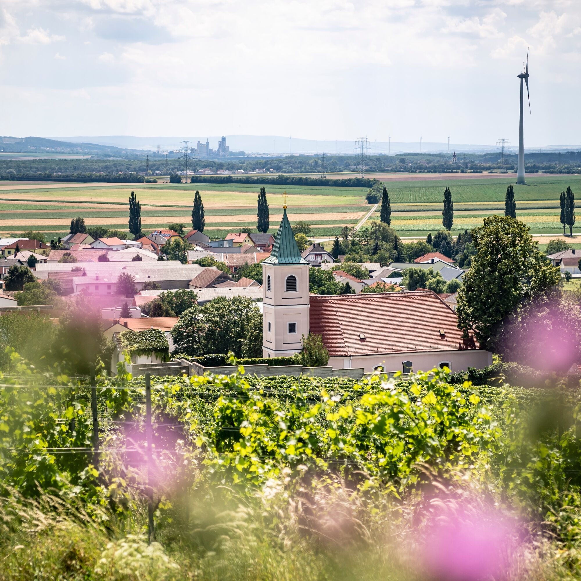
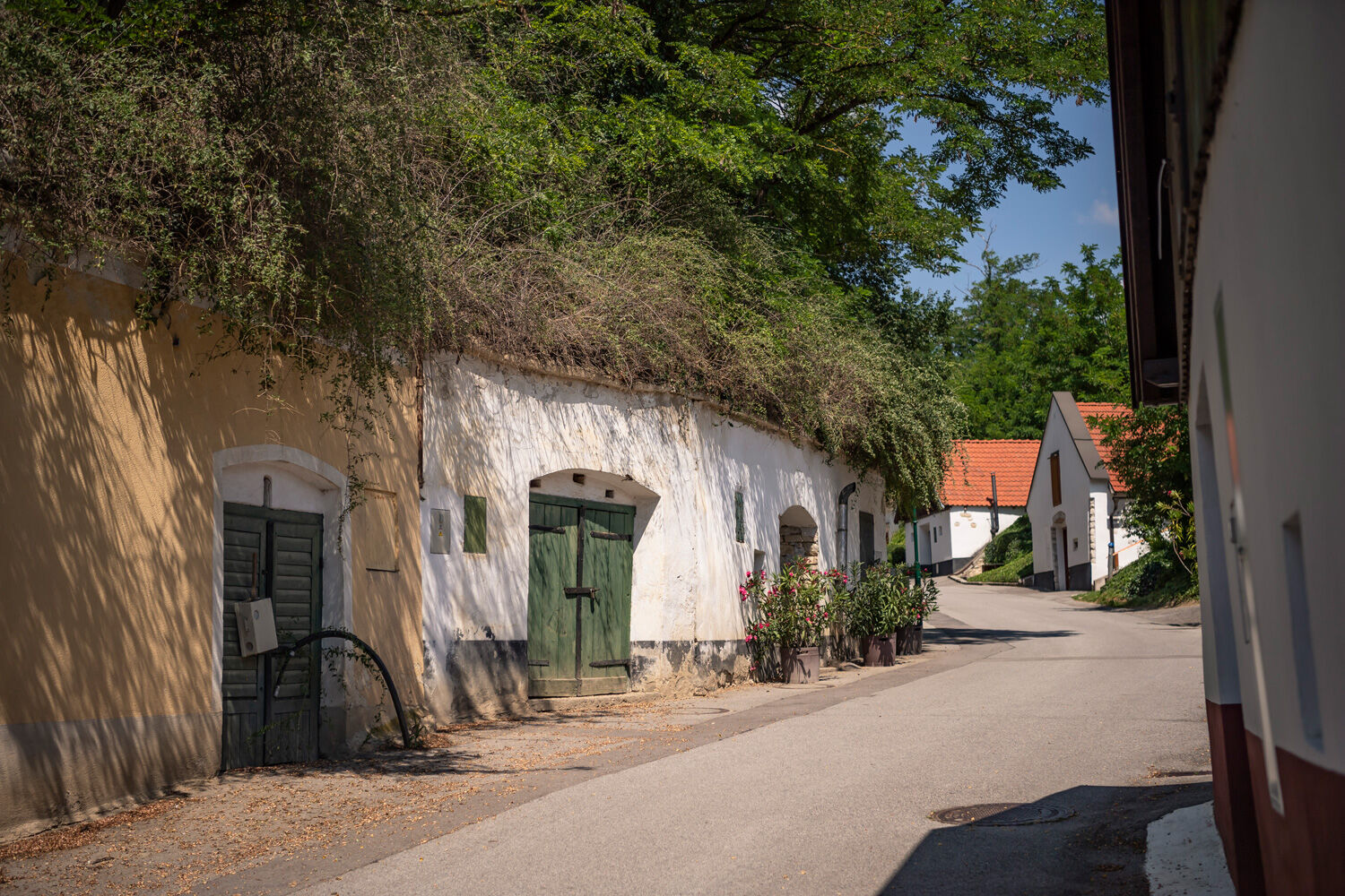
From the church square in the center of Stixneusiedl, proceed through the cellar lane gate to the north. Here begins the historic cellar lane, which, like the village itself, can look back on over 700 years of history. On both sides of the street, various cellar houses climb up the steep ditch, with cosy benches inviting you to linger now and then. At the end of the hollow path, the view opens over the gently rolling fields to the north, where you zig-zag on the well-walkable farm roads towards Arbesthal. At the highest point, the Gablerberg, you can see from the rest area at the edge of a small forest back south across the colorful patchwork landscape.
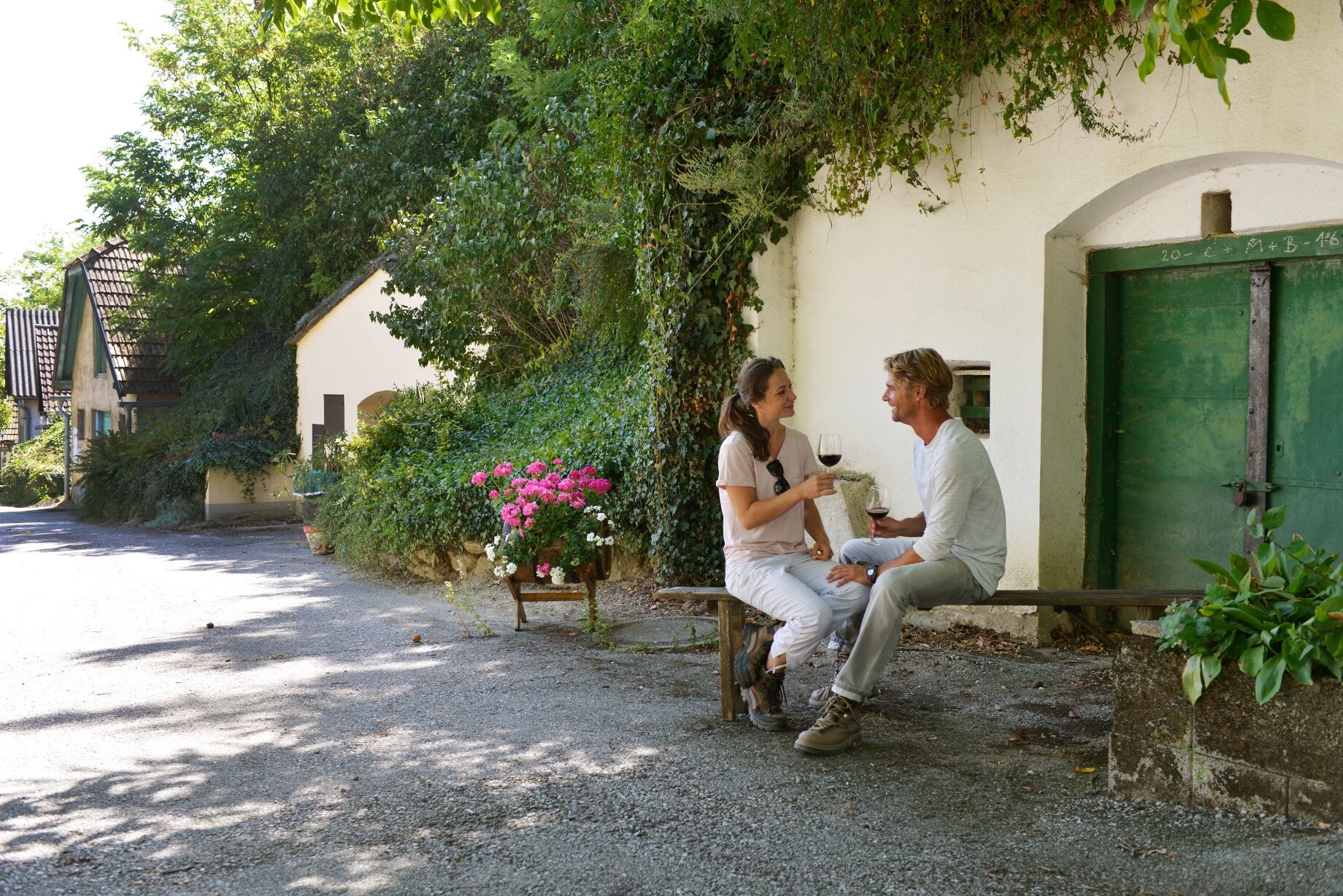
After a short descent, you reach the motorway underpass, behind which lies Arbesthal. In the heart of the village at the crossroads near the parish church, you continue the walk together with the wine hiking loop from Arbesthal towards Göttlesbrunn. However, you should not miss a detour to the winemakers and inns in the village at this point.
Arbesthal - Stixneusiedl
Along the Göttlesbrunnbachl, the hiking loop soon branches right to the south. Again under the motorway and past the motorway rest area, you soon pass through the fields of the extensive hill country. Whether at the border stone monument, which commemorates the long history of Göttlesbrunn and Arbesthal, or in the hilly vineyards – there are plenty of quiet spots for relaxation along the way. After just under an hour through the varied cultural landscape of vineyards and arable land, you reach the last short steep section.
Once at the top of the ridge, follow two parallel paths heading northwest. To the south, one enjoys a wide view over the Alpine foothills and the Leitha Mountains with Bruck an der Leitha in the foreground. On these fields at the foot of the vineyard ridge, the "Three Monarchs Meeting" took place in 1515 in the area of today’s federal road. A monument to this event remains today, which can be seen from some sections of the path.
After this panoramic section of the hike, turn downhill at a junction. Passing the Rufkreuz, the street leads into the shady hollow path, which flows into the eastern cellar lane of the village. Some dilapidated cellars are soon replaced by renovated and used houses, between which the street meanders back to the starting point of the hike at the church square.
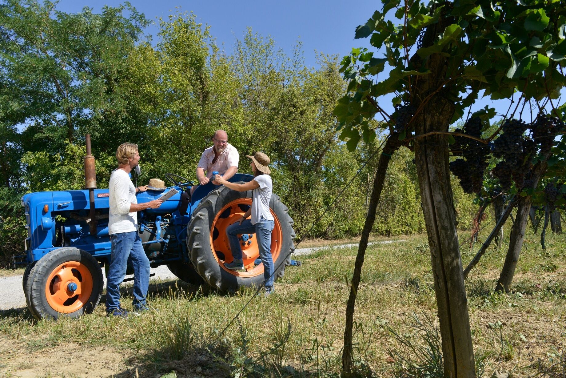
A visit or two to the winemakers and the local wine taverns at the end of the walk rounds off the hike in a very atmospheric way and makes it a thoroughly enjoyable wine experience.
A4 East motorway, exit Bruck/Leitha West, to Göttlesbrunn-Arbesthal, Höflein or Stixneusiedl
ÖBB to Bruck/Leitha, then Postbus to Göttlesbrunn-Arbesthal or Höflein; ÖBB to Sarasdorf.
www.via-carnuntum.at
Priljubljeni izleti v okolici
- 4,6
Cherry Blossom Cycle Route
srednjaKolesarjenje 43,2 km - 4,6
Eckartsauer Donaurunde
svetlobaPohodništvo 8,96 km - 4,6
Kloster St. Anna & Ruine Scharfeneck zu Mannersdorf
svetlobaPohodništvo 5,27 km - 4,2
MANNERSDORF, St.Anna, Aussichtspkt. Stb.1 Ruine Scharfeneck, F.J.Warte, Aussichtspkt. Stb.2 20230329
srednjaPohodništvo 16,5 km - 4,6
Ochsenbründlrunde
svetlobaPohodništvo 8,34 km - 4,4
Smugglers' route "Donnerskirchen" to Mannersdorf
težkoPohodništvo 18,8 km - 4,4
About / around the Burgstall
srednjaPohodništvo 10,1 km - 4,0
Mannersdorf Wüste - Gipfelkreuz - Ruine - Labyrinth
svetlobaPohodništvo 9,32 km - 4,0
N25 wine educational trail
srednjaPohodništvo 8,41 km - 3,5
Wüste Mannersdorf - Angelos Touren
svetlobaPohodništvo 8,24 km
Pohodništvo in sledenje


Ne zamudite ponudb in navdiha za naslednje počitnice
Vaš e-poštni naslov je bil dodan na poštni seznam.