







Pöchlarn 2 - Rüdigerweg

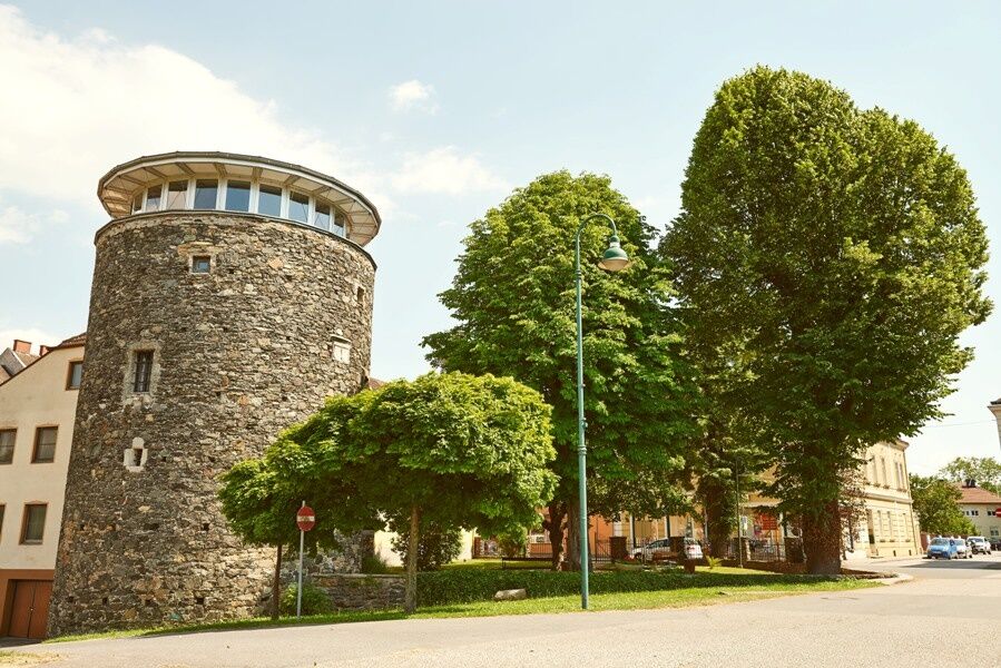

The Rüdigerweg initially follows the same route as the Dietlinde trail, running along the Stadt Weyer pond on natural ground. It passes through a residential area and continues along the Erlauf River on a bike path until it flows into the Danube. Following the Danube, you’ll return to the starting point.
We recommend hiking boots, a backpack, a hiking map and/or a mobile route planner, weatherproof clothing (e.g., rain gear), a hat, sunscreen, a first-aid kit, possibly a flashlight, and enough food and drink to keep your energy up (water, snacks).
Please note the following tips and guidelines:
· Stay on the marked trails.
· Wear hiking boots.
· Use hiking poles.
· Rain gear is always advisable.
· Bring a hiking map with you.
· Carry enough drinking water with you.
· Please do not leave your trash behind on the trail.
· Respect the sensitive habitats of flora and fauna.
You undertake the suggested hikes at your own risk and on your own responsibility.
Pöchlarn is easily accessible via the A1 Westautobahn; take the Pöchlarn exit. At the exit, take the second exit at the roundabout; after about 2 km, you will reach the town center.
Coming from Krems or Grein via Wachauerstraße (B3), cross the Danube bridge at Klein Pöchlarn. At the roundabout after the bridge, take the first exit toward Pöchlarn.
Take the ÖBB to the Pöchlarn train station— check the schedule. You can walk from the station into town.
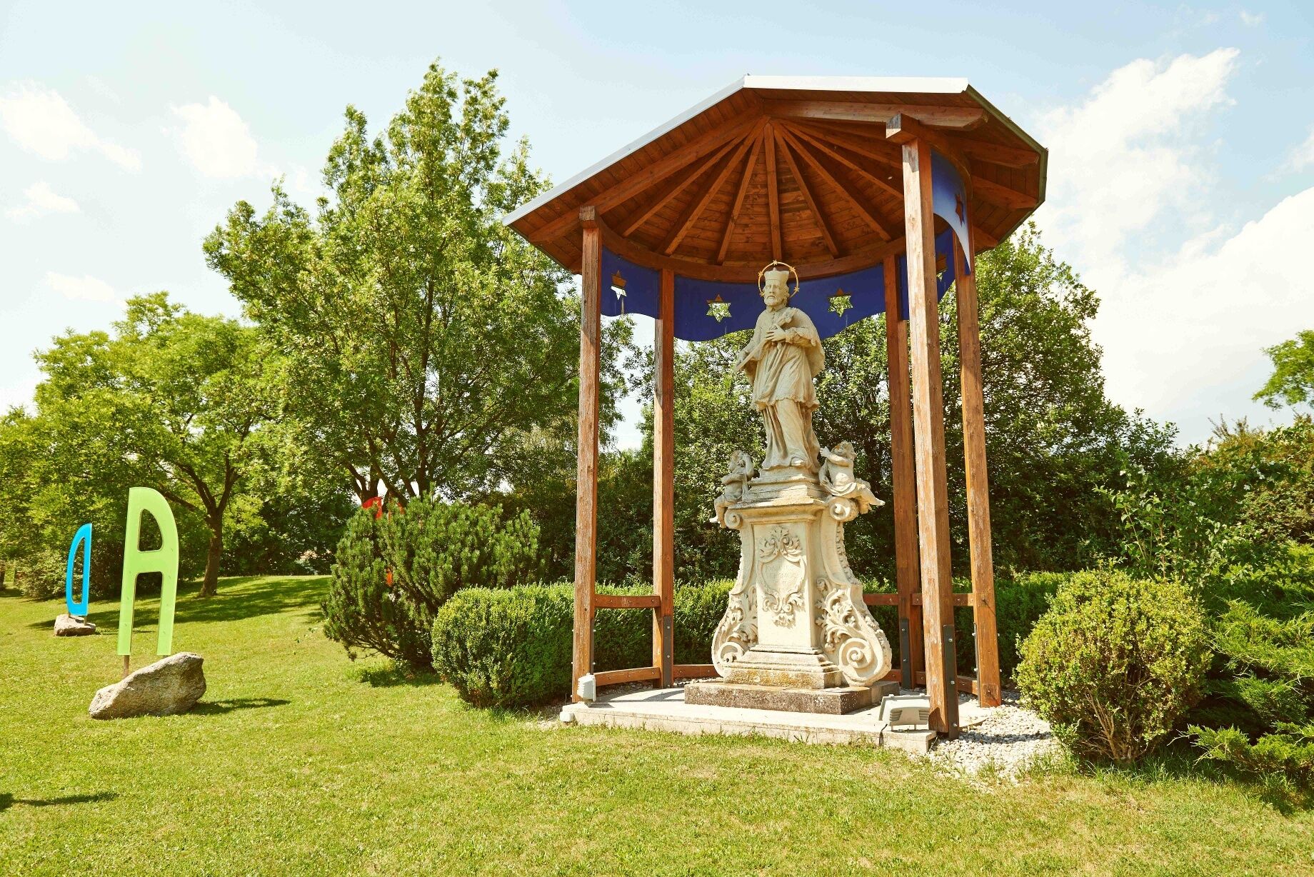
Parking is available near the Nepomuk statue and in town.
Person responsible for the content of this tour
Wachau-Nibelungengau-Krems Valley ("Krems Valley" in German)
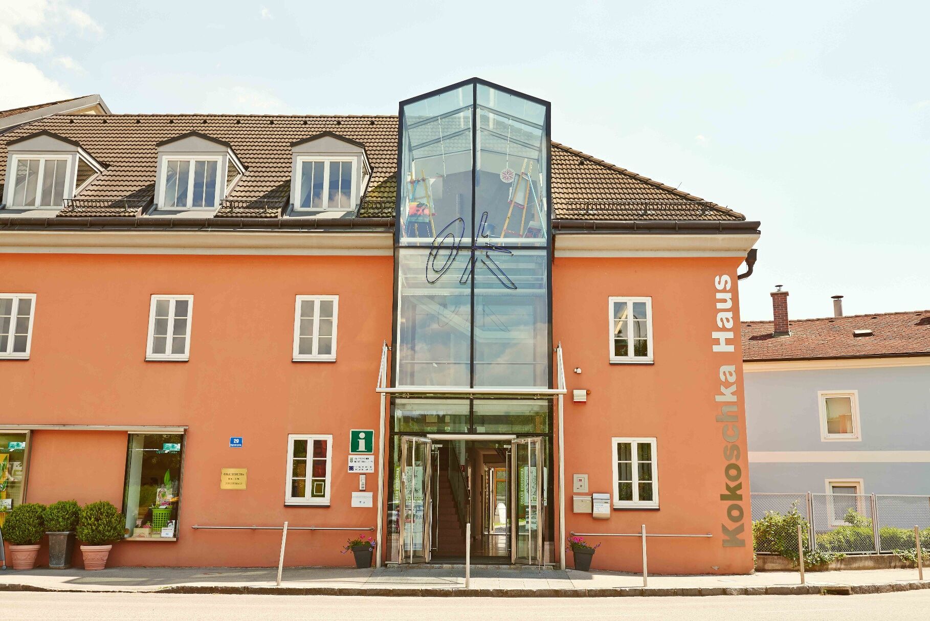
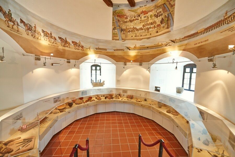
Pöchlarn is a historic town on the Danube—known in Roman times as “Arelape”—the “Bechelaren” of the Nibelungenlied and the birthplace of Oskar Kokoschka. Highlights include the Oskar Kokoschka Documentation Center, which features a special exhibition from May through October, as well as the Welserturm City Museum with its Roman artifacts and the Nibelungen Monument. Enjoy a day at the municipal swimming pool or hike to Maria Taferl, Maria Steinbründl, or Artstetten Castle. The location is also ideal for cycling trips to the Wachau region, Schallaburg Castle, Melk Abbey, or the Waldviertel.
For more information about the community, visit http://www.poechlarn.at
Sights in the Nibelungengau region:
Ybbs-Persenbeug Danube Power Plant, Erlauf Peace Museum, Oskar Kokoschka Center in Pöchlarn, Leiben European Castle, Artstetten Castle, Maria Taferl Basilica
Events in the Nibelungengau region and surrounding areas can be found here.
Tip: Combine your hiking vacation with the summer solstice celebration “Fire Magic in the Nibelungengau” in June. One experience—two options: Celebrate on the banks of the Danube in one of the Nibelungengau communities or aboard a boat. For more information, visit www.sonnenwende.at.
You can find route descriptions, including GPS tracks available for download, at www.nibelungengau.at.

Priljubljeni izleti v okolici
-
4.6
Ausgedehnte Peilsteinrunde
srednjaPohodništvo 13.7 km -
4.6
Purgstall Route 3 entlang der Erlauf und Umgebung
svetlobaPohodništvo 11.6 km -
4.5
Durch die Steinwandklamm von Maria Taferl aus
svetlobaPohodništvo 8.26 km -
4.6
Welterbesteig Wachau 08: Emmersdorf-Melk
svetlobaPohodništvo v daljavo 9.90 km -
4.9
LAIMBACH Ostrong Peilstein 20220716
srednjaPohodništvo 7.70 km -
4.3
Welterbesteig Wachau 07: Aggsbach Markt-Emmersdorf (Naturpark Jauerling-Wachau)
svetlobaPohodništvo v daljavo 14.6 km -
4.1
Hiesberg Gipfelkreuz Rundweg
svetlobaPohodništvo 7.38 km -
5.0
Gipfelkreuz-Rundwanderweg - Loosdorf
svetlobaPohodništvo 5.45 km -
4.0
Welterbesteig Wachau 09: Melk-Aggsbach Dorf
svetlobaPohodništvo v daljavo 16.9 km -
4.7
"Donau-Tour" aus der Karte alpenvorlandRADELN
svetlobaKolesarjenje 53.4 km
Pohodništvo in sledenje


Ne zamudite ponudb in navdiha za naslednje počitnice
Vaš e-poštni naslov je bil dodan na poštni seznam.





