






Hike to Neuwald Hut (from Unternberg)
The Neuwaldhütte am Kampstein is a self-catering hut offering space for parties and overnight accommodation for groups of 20-40 people. The hut is available all year round by arrangement and can also be...
The Neuwaldhütte am Kampstein is a self-catering hut offering space for parties and overnight accommodation for groups of 20-40 people. The hut is available all year round by arrangement and can also be reached by car. You can also take a beautiful hike from Unternberg, a district of St. Corona, over the Kampstein to the Naturfreundehütte. Unternberg offers various places to stop for refreshments and overnight stays, such as the Gruber-List vacation home, the Ofnerhof, the Landgasthof Fahrner or the Dissauer farm. On the hike, you have the option of branching off to Gasthof Orthof or the Herrgottschnitzer-Franz-Kaupe-Hausfor refreshments. You hike steadily uphill to an altitude of 1213 meters and then the last stretch downhill to the Neuwaldhütte.
The Neuwaldhütte on the Kampstein can also be reached from Mariensee, hikes to the Hochwechsel, the Mönichkirchner Schwaig or via the Kampstein to St. Corona are possible.

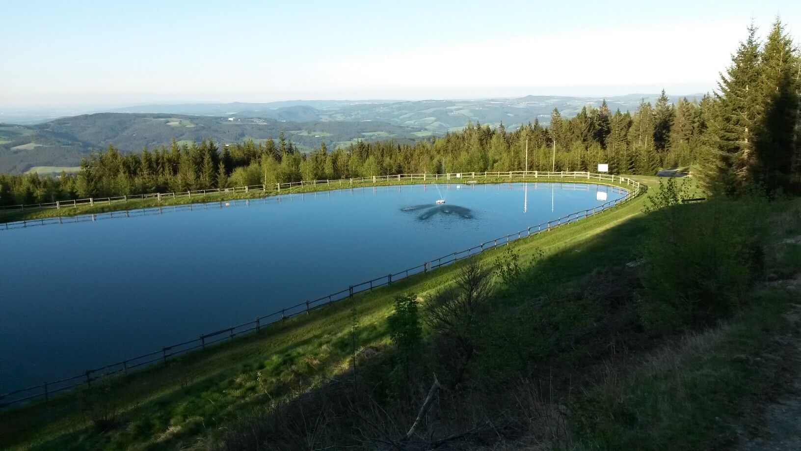
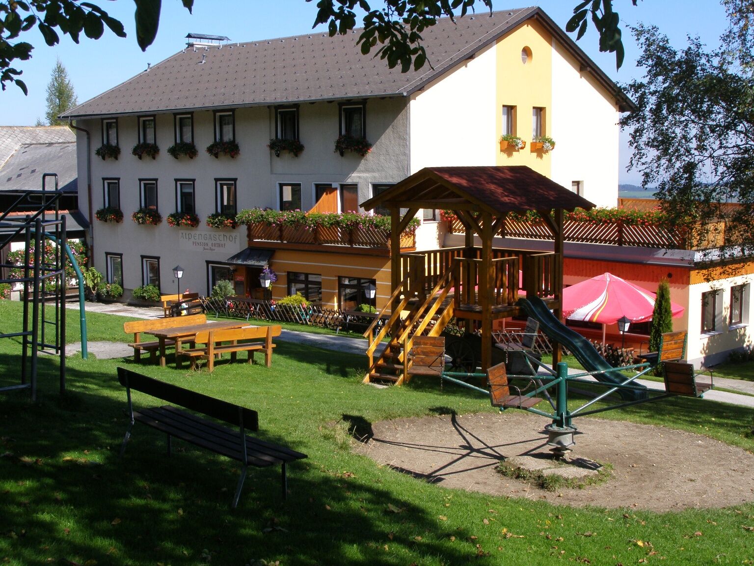
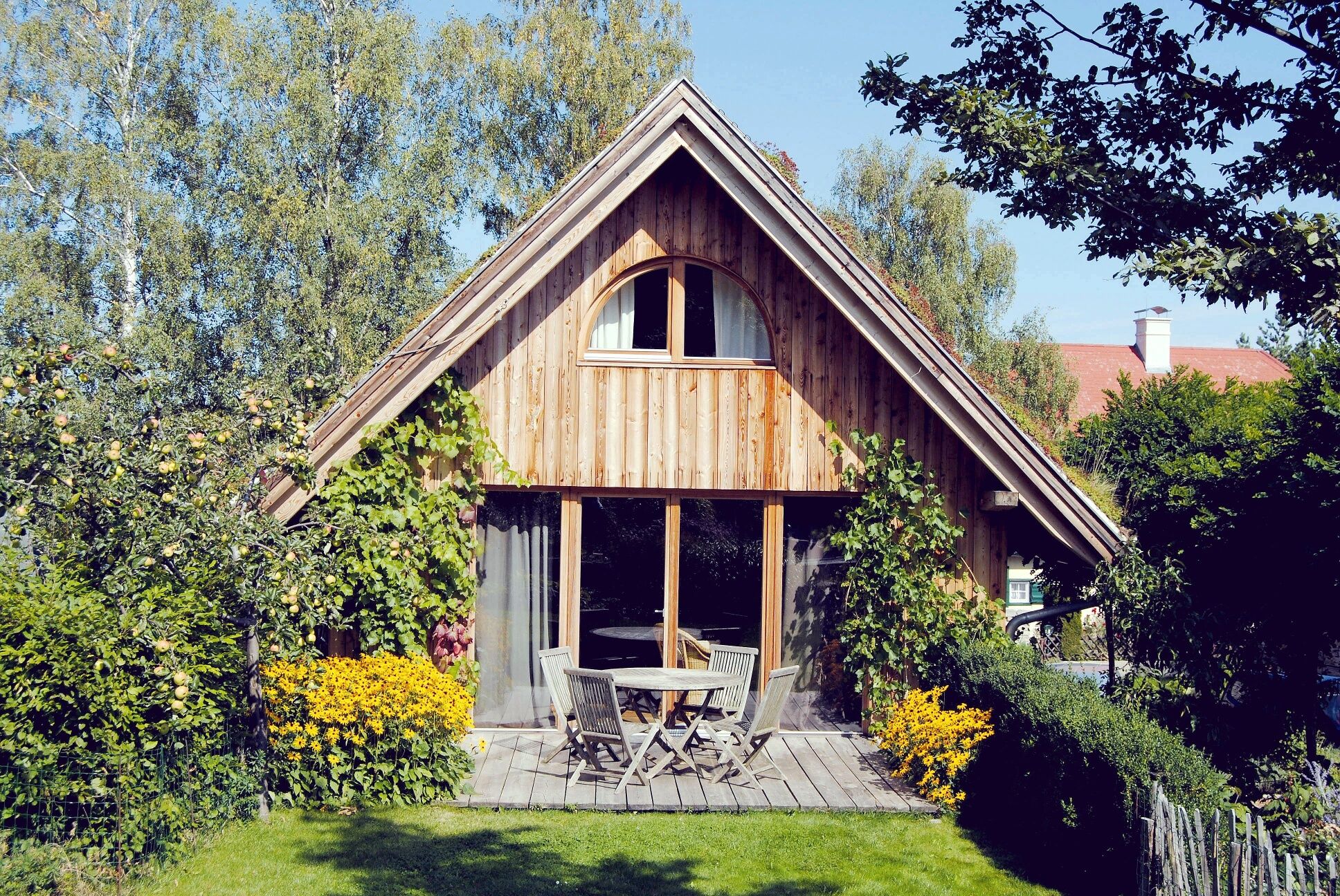
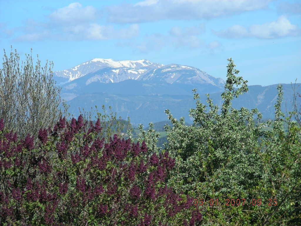
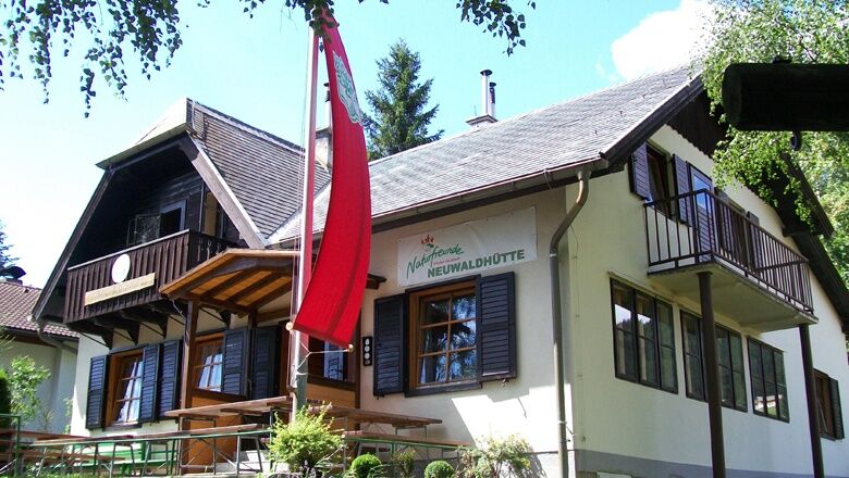
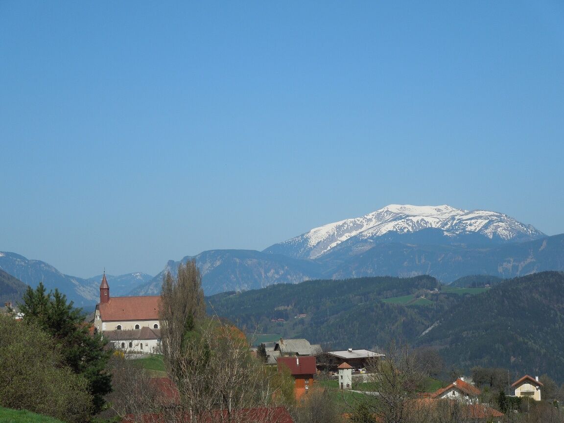

From the starting point at Gasthof Fahrner, we walk a short distance towards St. Corona and then turn left onto Unternberg Street. This leads us past Dissauer Farm on a path, which we follow straight along the marking number 834. This takes us onto a street in Orthof. A detour to Gasthof Orthof is possible on the right. We continue left along the street. We reach a curve where we turn left – practically straight ahead – onto a path. We follow this path for about 800 meters straight ahead and then turn right at the fork. Straight ahead across the intersection we come to a street which we cross. To the right it would go to the Herrgottschnitzer Hut. We continue left and cross another street, then turn right. We keep going straight and then right on the path and thus reach the previously crossed street again. Following this, a path branches off to the left, which we follow downhill. On this path, we walk about 700 meters straight ahead and then always keep right. Across the street, we reach the Neuwald Hut.
Always take suitable maps with you. Wear sturdy shoes appropriate for the route, bring sun and rain protection as well as water and a small snack. Take your mobile phone with you and save the emergency number of mountain rescue: 140
Your hikes in the Vienna Alps should be a thoroughly beautiful and safe experience. Please therefore observe the following:
Preparation
Make sure that the chosen route matches your experience and fitness. Inform yourself in advance about the weather report. Weather in the mountains can change surprisingly fast. Always start adequately equipped (e.g. rain protection).
Check whether the huts and snack stations you want to visit along the way are open. Inform someone about your chosen route and planned return before you set off.
Further safety tips for your hike can be found here.
From Vienna drive on the A2 South Motorway, take the Edlitz exit. Drive towards Aspang. Continue on Wechsel Street/B54 to Aspang. At the roundabout take the third exit (Gutenberggasse). Turn right onto Bahnstraße. Slightly turn right onto Mühlgasse; Mühlgasse curves slightly right and becomes Sonneck. Continue on L137 to Unternberg.
From Graz drive on the A2 South Motorway, take the Aspang exit. Drive towards Aspang/Zöbern. Turn left onto L137, follow it to Aspang. Turn right onto Hauptplatz, then immediately left onto Gottsbergergasse. Turn left onto Mühlgasse; Mühlgasse curves slightly right and becomes Sonneck. Continue on L137 to Unternberg.
Take the regional train from Wr. Neustadt main station (direction Aspang-Markt) to the final stop. Continue by regional bus 1762 (direction Kirchberg Wechsel Hotel). Get off at the Unternberg Gasthof Fahrner stop.
More information at: www.vor.at or www.oebb.at
Parking possibilities at Gasthof Fahrner.
Vienna Alps in Lower Austria, www.wieneralpen.at, +43 / 2622 / 78960
Combine your hike with a stay in the Wechsel region, for example at the Ferienhaus Gruber-List or at the Ofnerhof in Unternberg! Staying overnight at the Neuwald Hut at Kampstein is also ideal for self-caterers!
Pridobite vpogled
Vedno v živo na mestu z več kot 9.500 spletnimi kamerami. bergfex Kot uporabnik Pro si lahko zdaj ogledate ustrezne spletne kamere za številne izlete v aplikaciji izleti iz. Tako si lahko neposredno ogledate trenutne razmere.
Priljubljeni izleti v okolici
-
4.8
Hochwechsel-Runde, Waldbach-Mönichwald
srednjaTrailrunning 17.9 km -
3.7
Schwaigen Rundwanderung
svetlobaPohodništvo 8.24 km -
3.8
St. Corona - Kampstein
srednjaPohodništvo 10.7 km -
4.6
Mariensee - Wildwasserweg - Marienseer Schwaig
svetlobaPohodništvo 8 km -
4.5
Rabl-Kreuz-Hütte auf den Hochwechsel
svetlobaSnežni čevlji 9.87 km -
4.5
Sonnwendstein
srednjaPohodništvo 9.40 km -
4.5
Hochwechsel
srednjaPohodništvo 14.3 km -
4.5
Schanzkapelle - Kleiner Otter - Mitterotter - Großer Otter - Kummerbauerstadl - von Göstritz Göstritz, Niederösterreich
srednjaPohodništvo 11.6 km -
4.7
Hochwechsel - Tour
Pohodništvo 18.5 km -
4.4
Kummerbauerstadl-Erzkogel-Sonnwendstein-Maria Schutz-Kummerbauerstadl
svetlobaPohodništvo 12.2 km
Pohodništvo in sledenje


Ne zamudite ponudb in navdiha za naslednje počitnice
Vaš e-poštni naslov je bil dodan na poštni seznam.





