







WAB - Regional Route K: Schloss Gloggnitz - Prigglitz - Payerbach

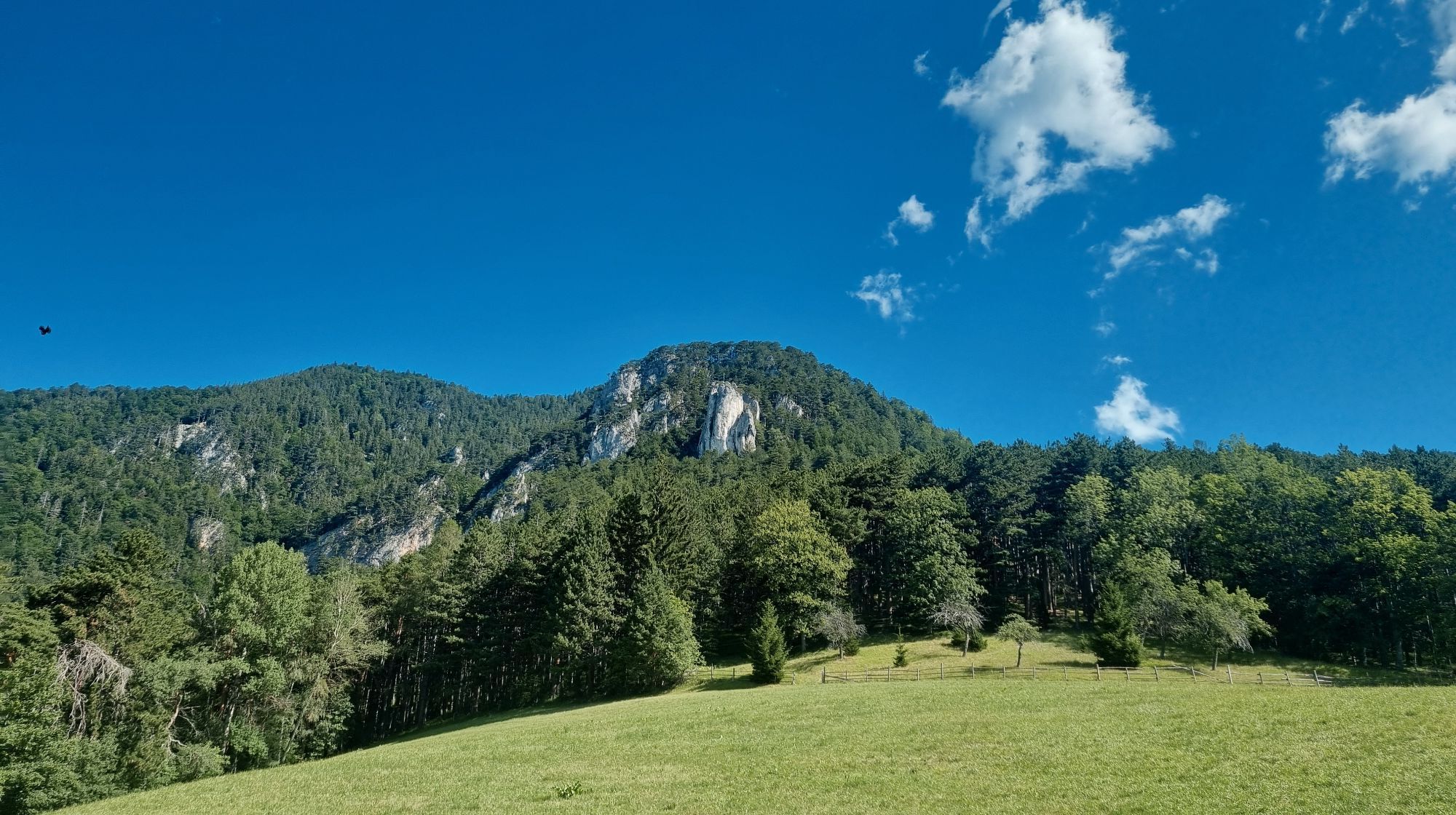
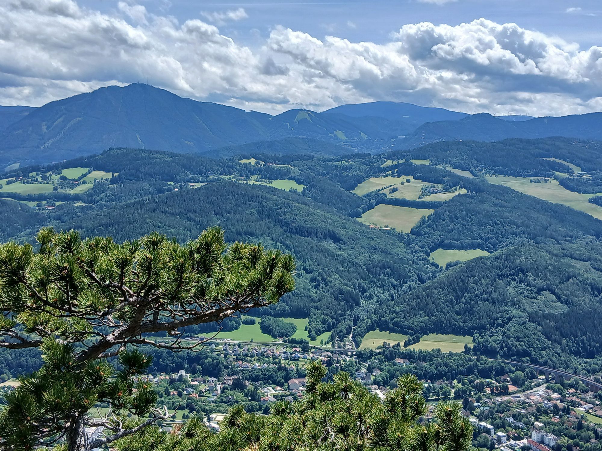
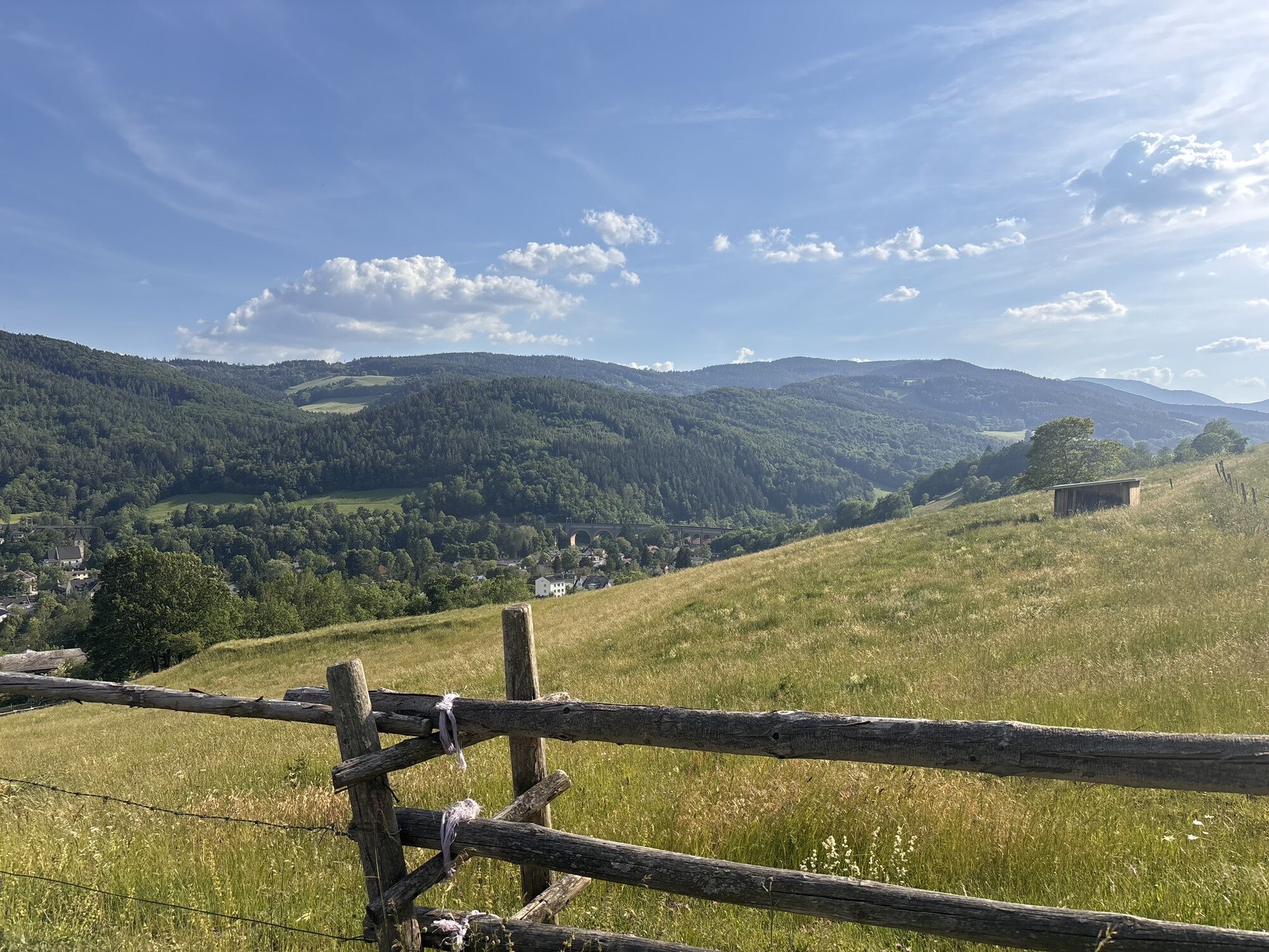
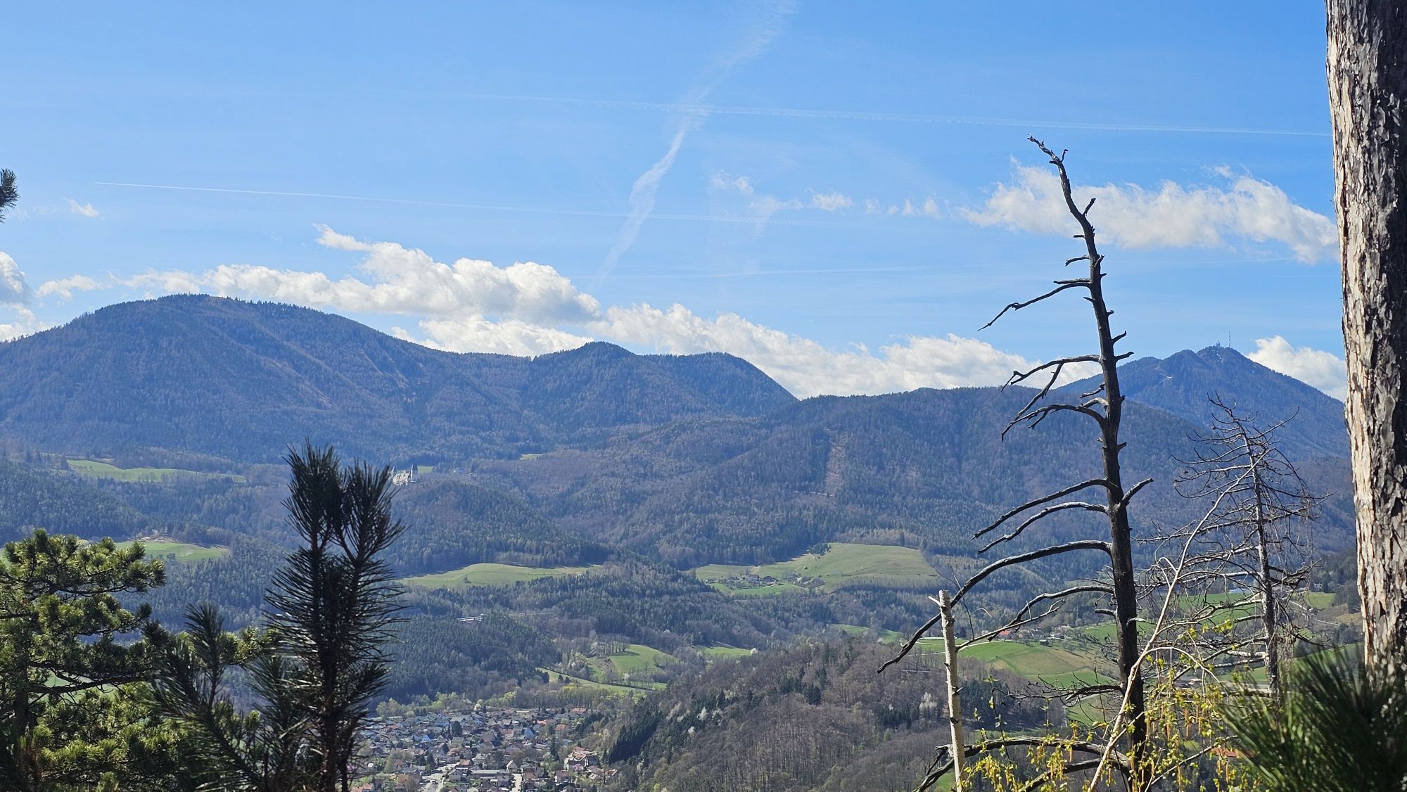
From the castle through the historic town of Gloggnitz, which experienced its first boom during early industrialization, the route leads on forest paths over Silbersberg (magnificent view back to Gloggnitz)...
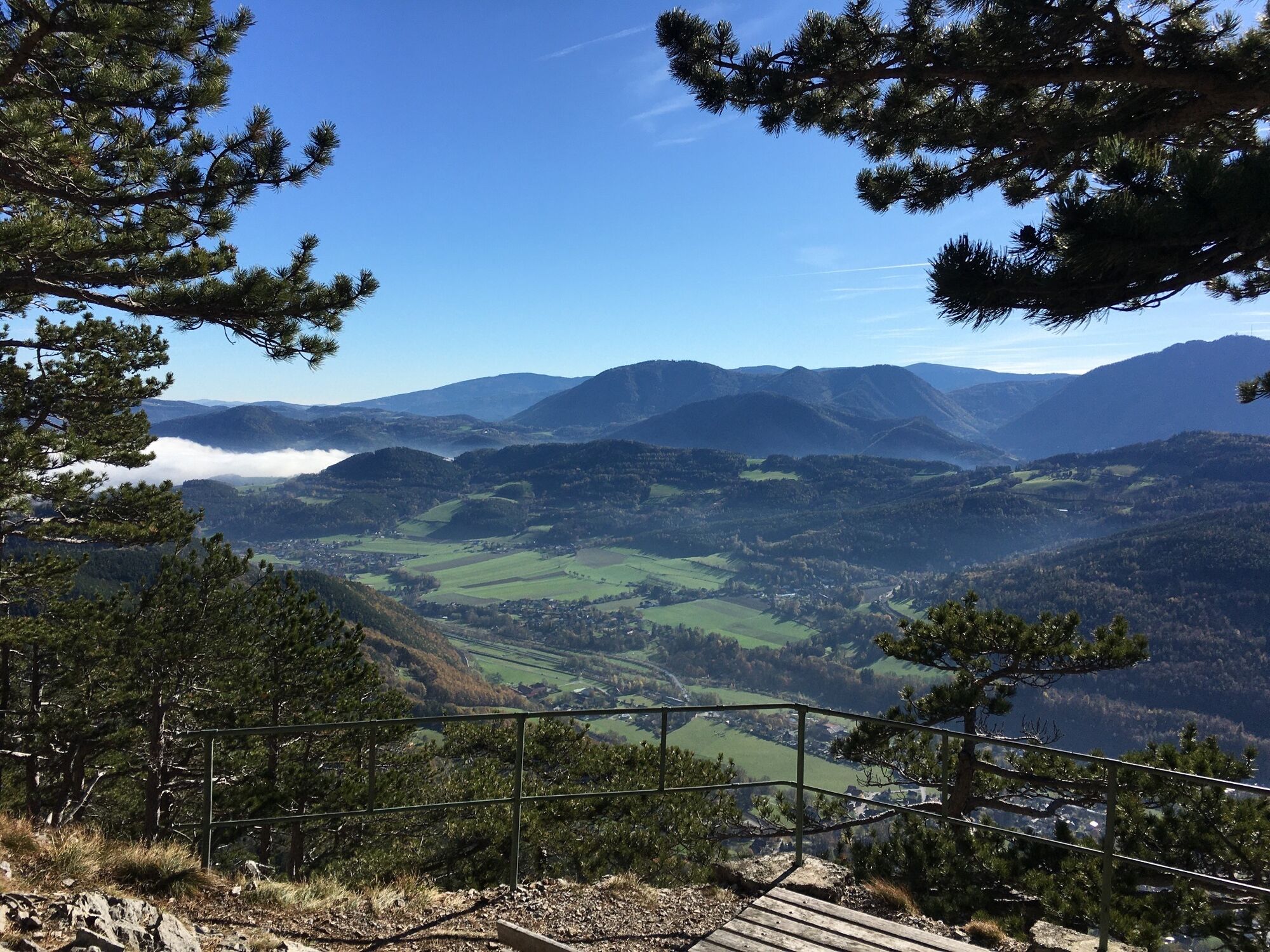
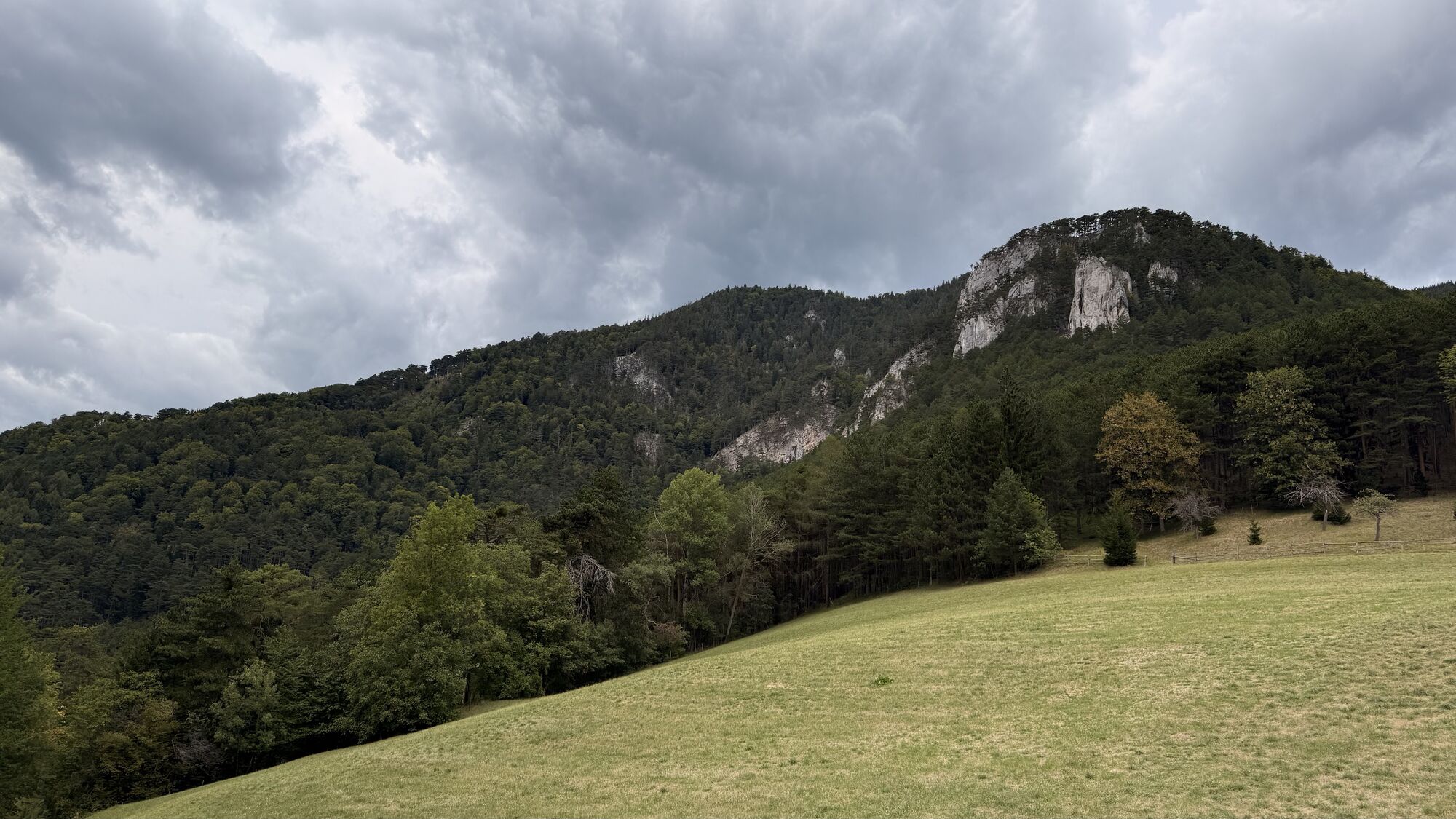
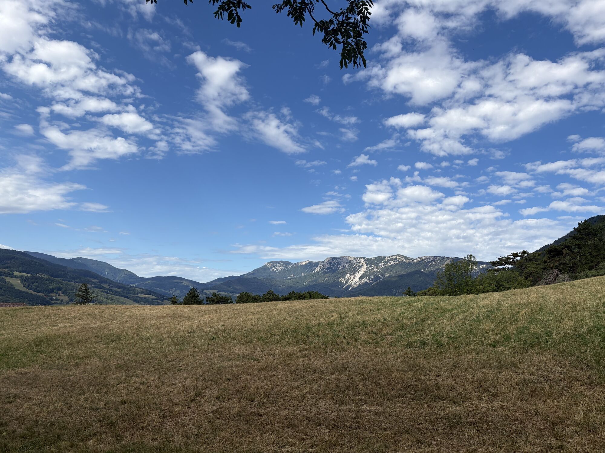
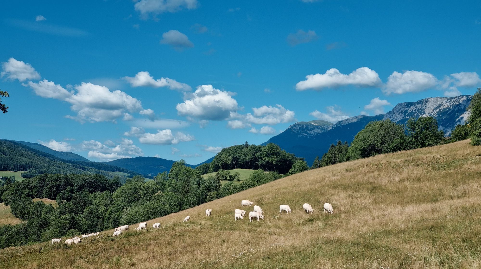
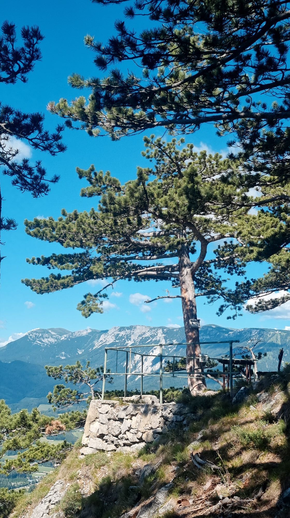
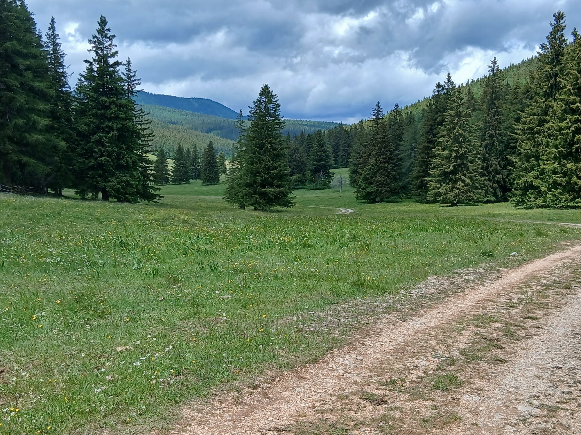
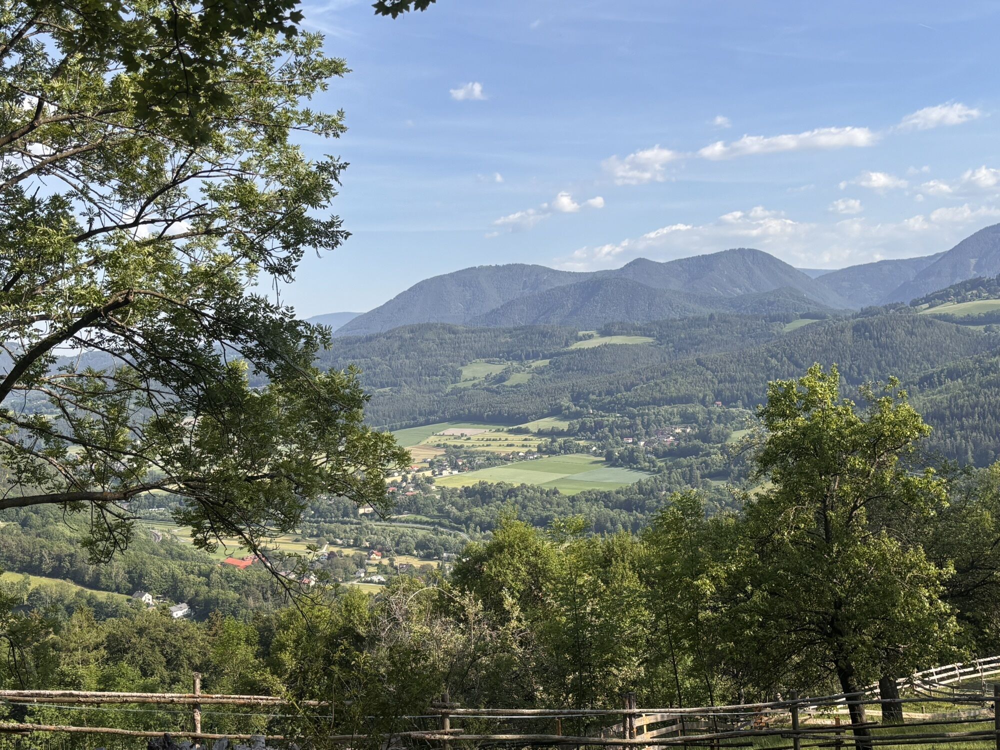
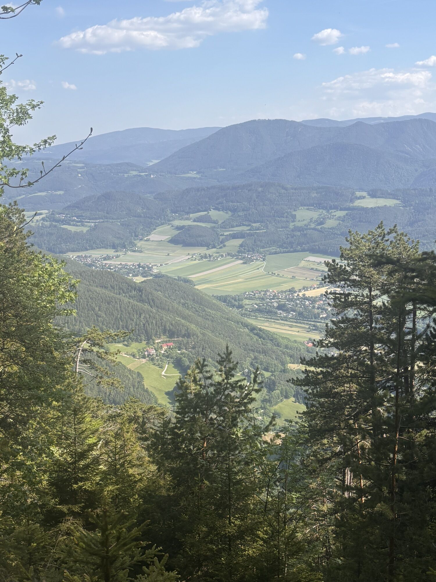
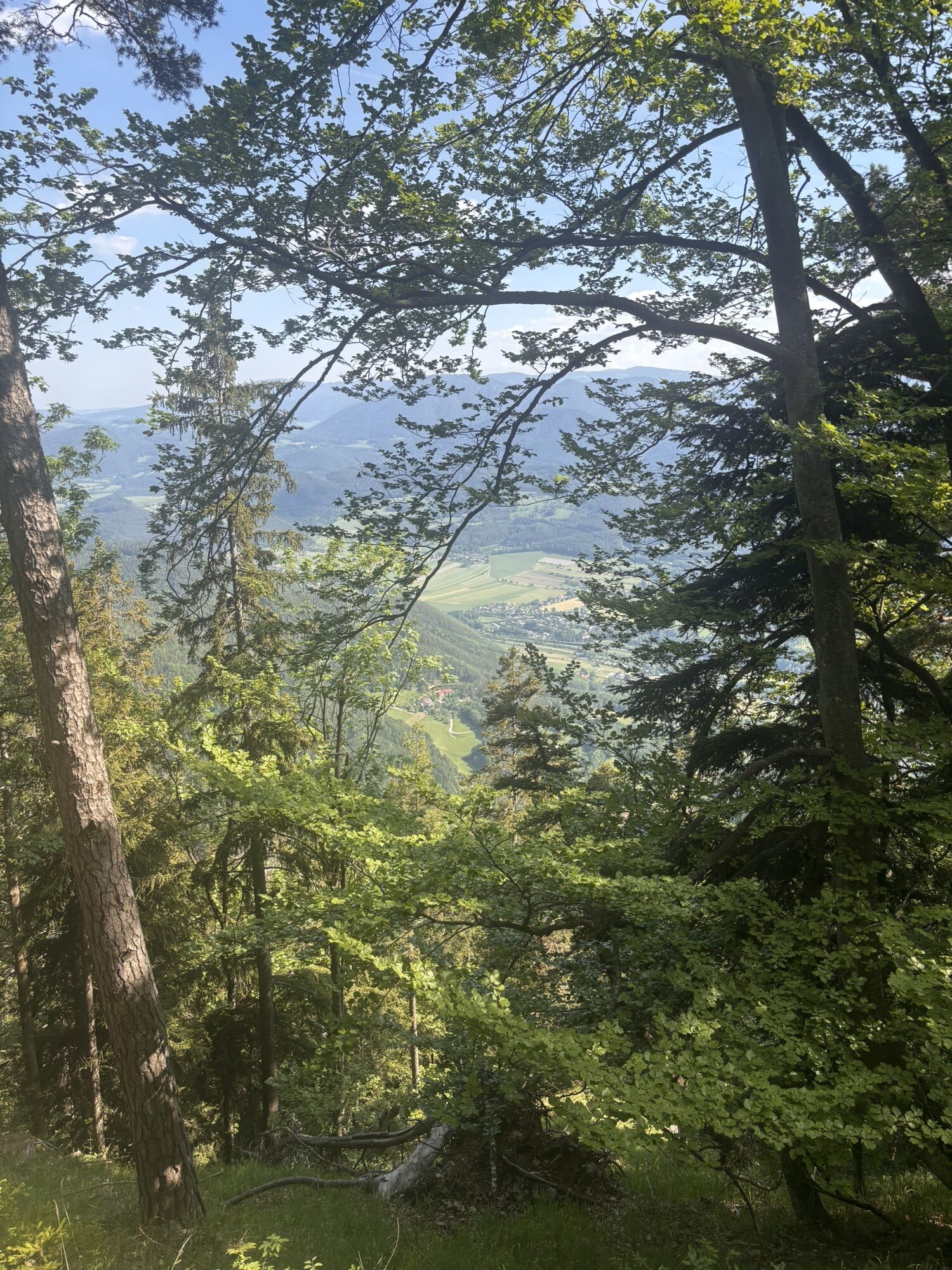
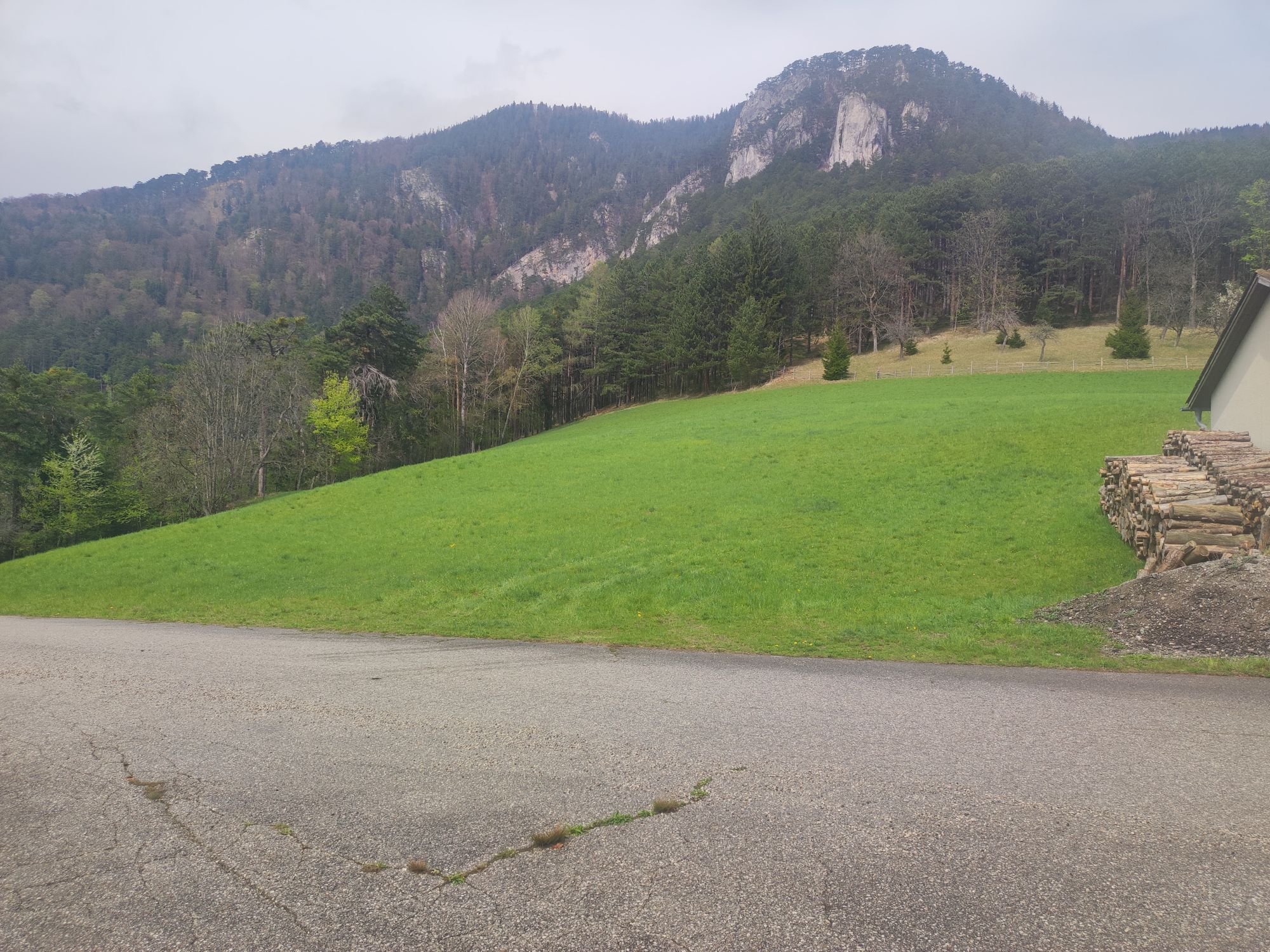
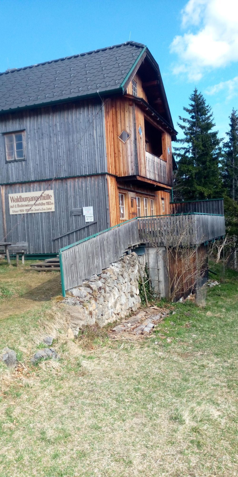
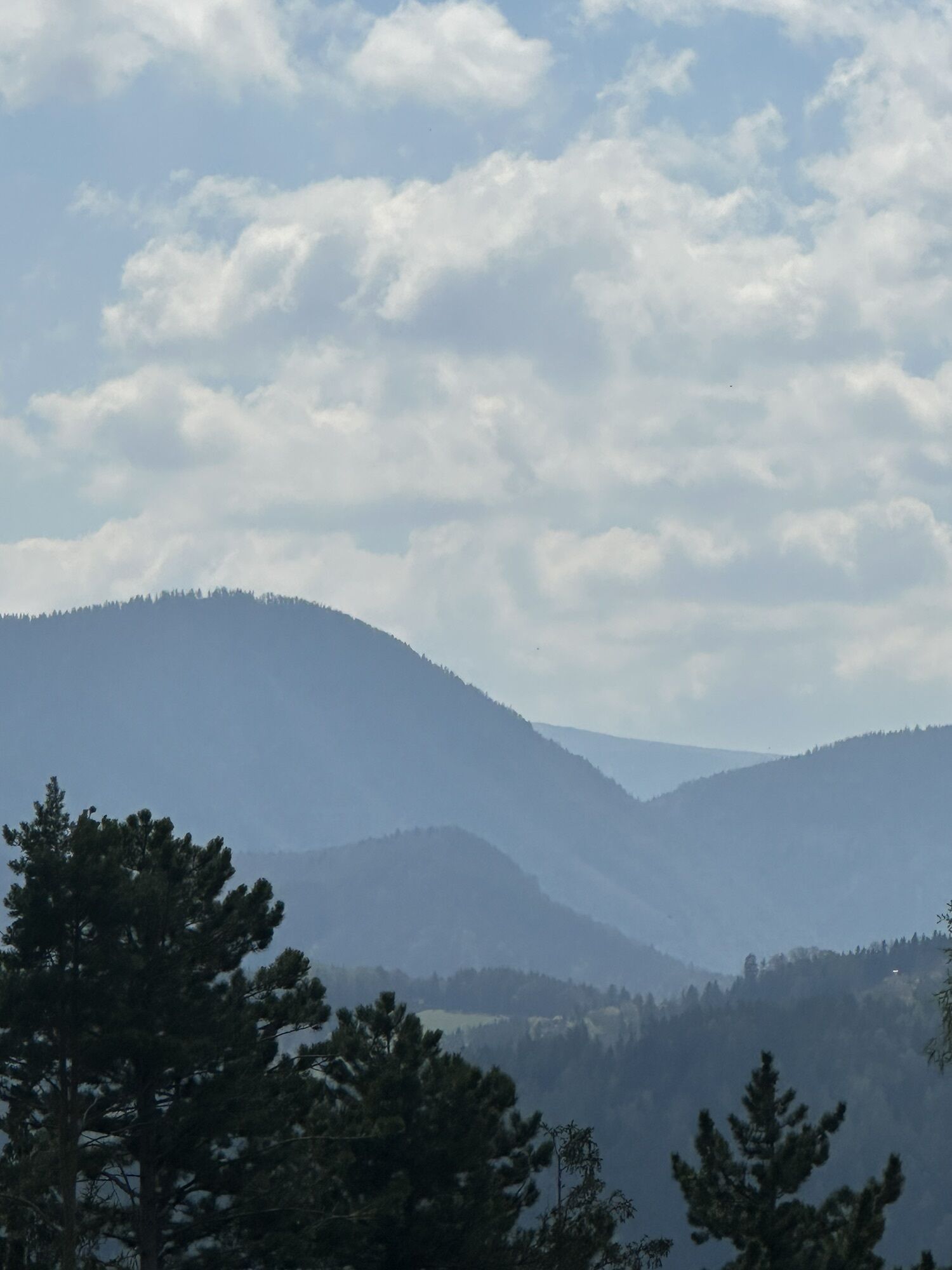
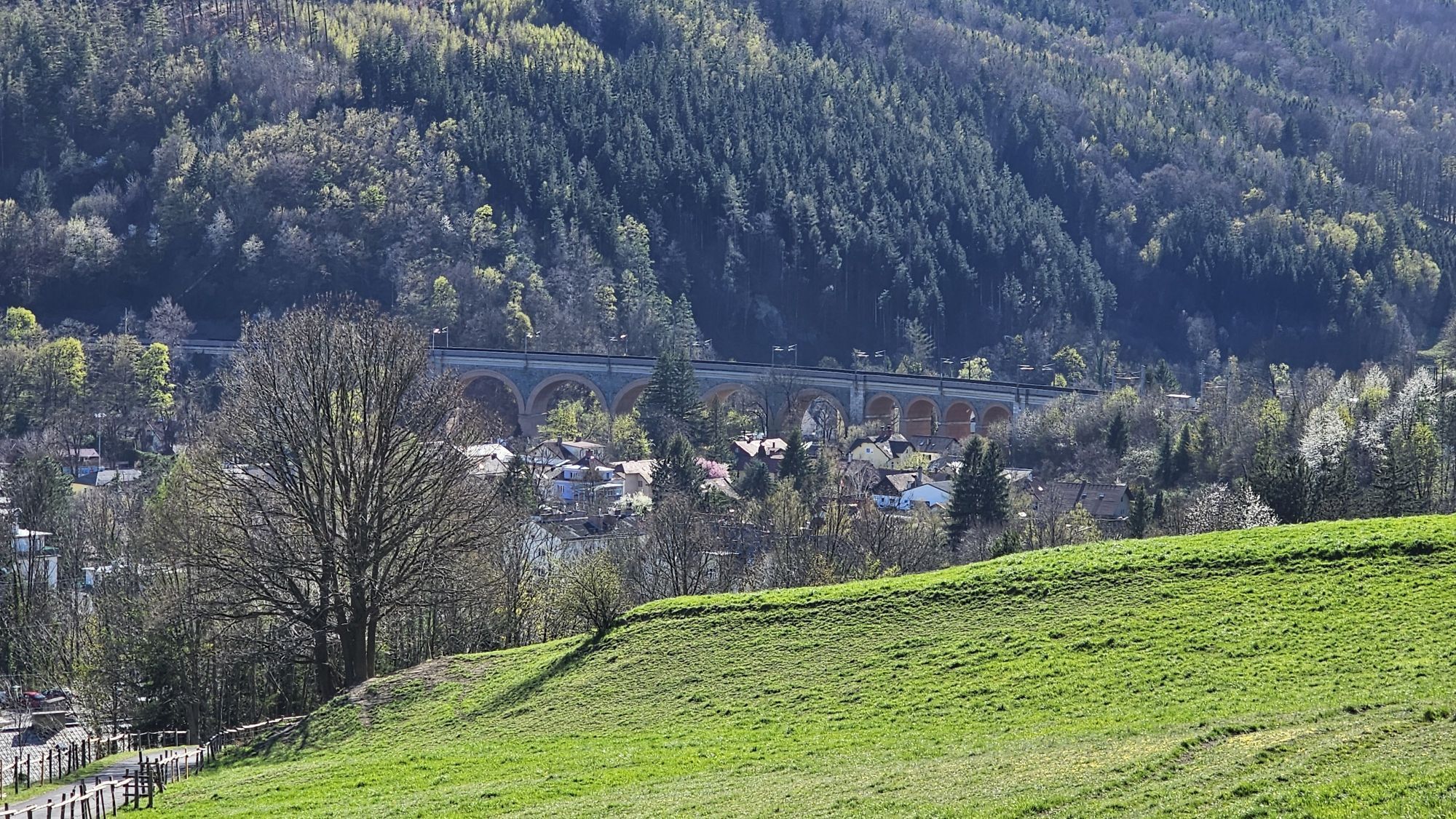
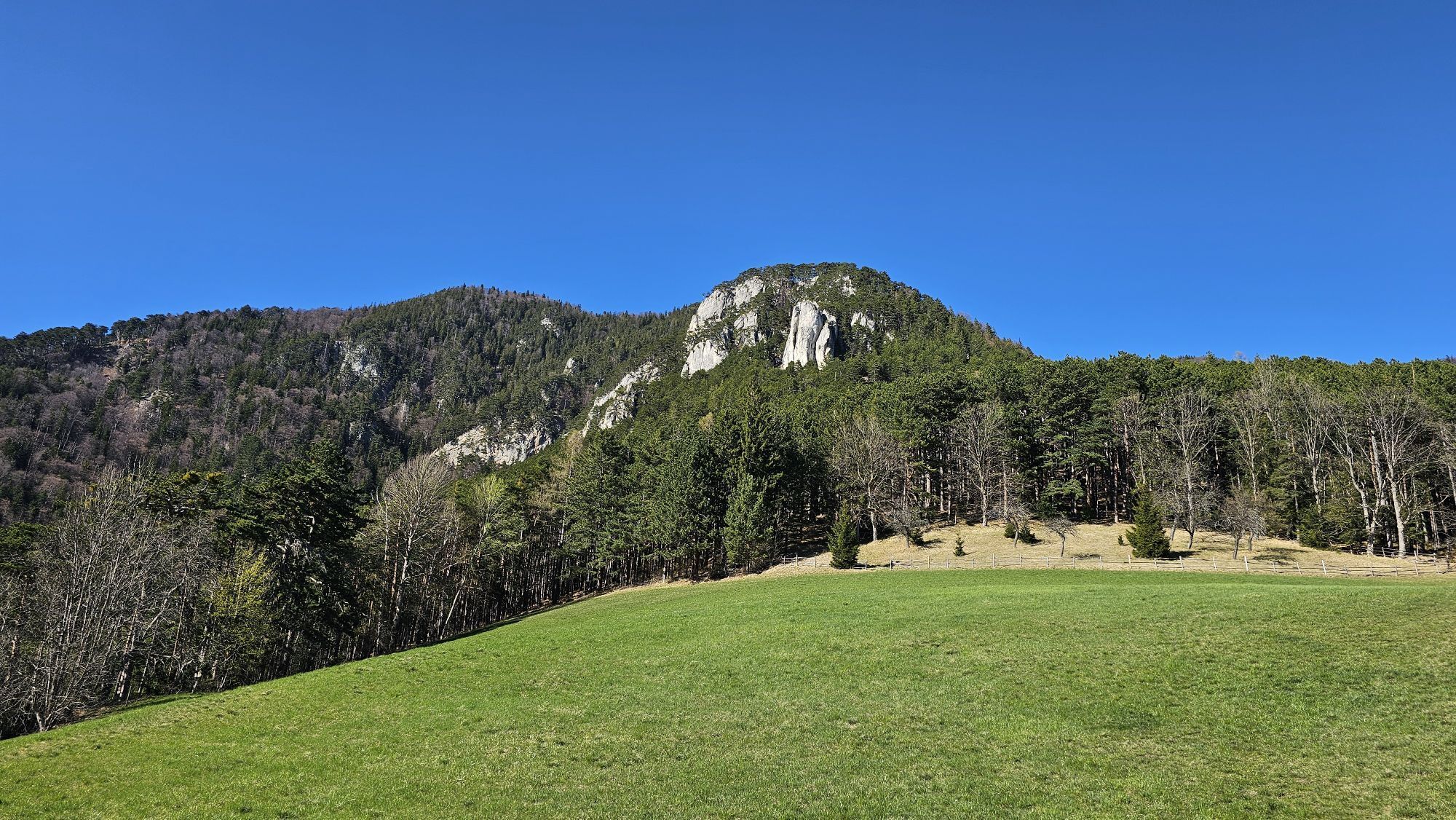
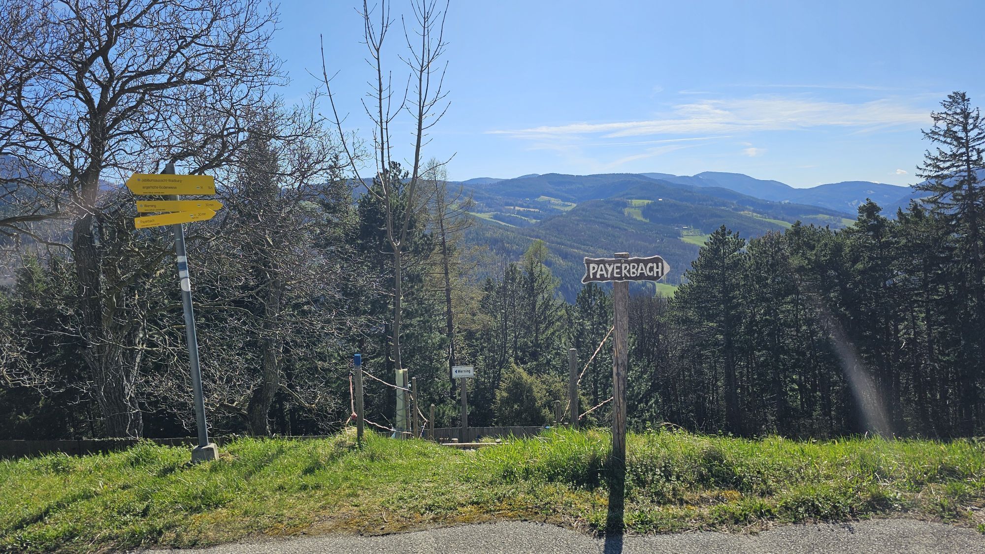
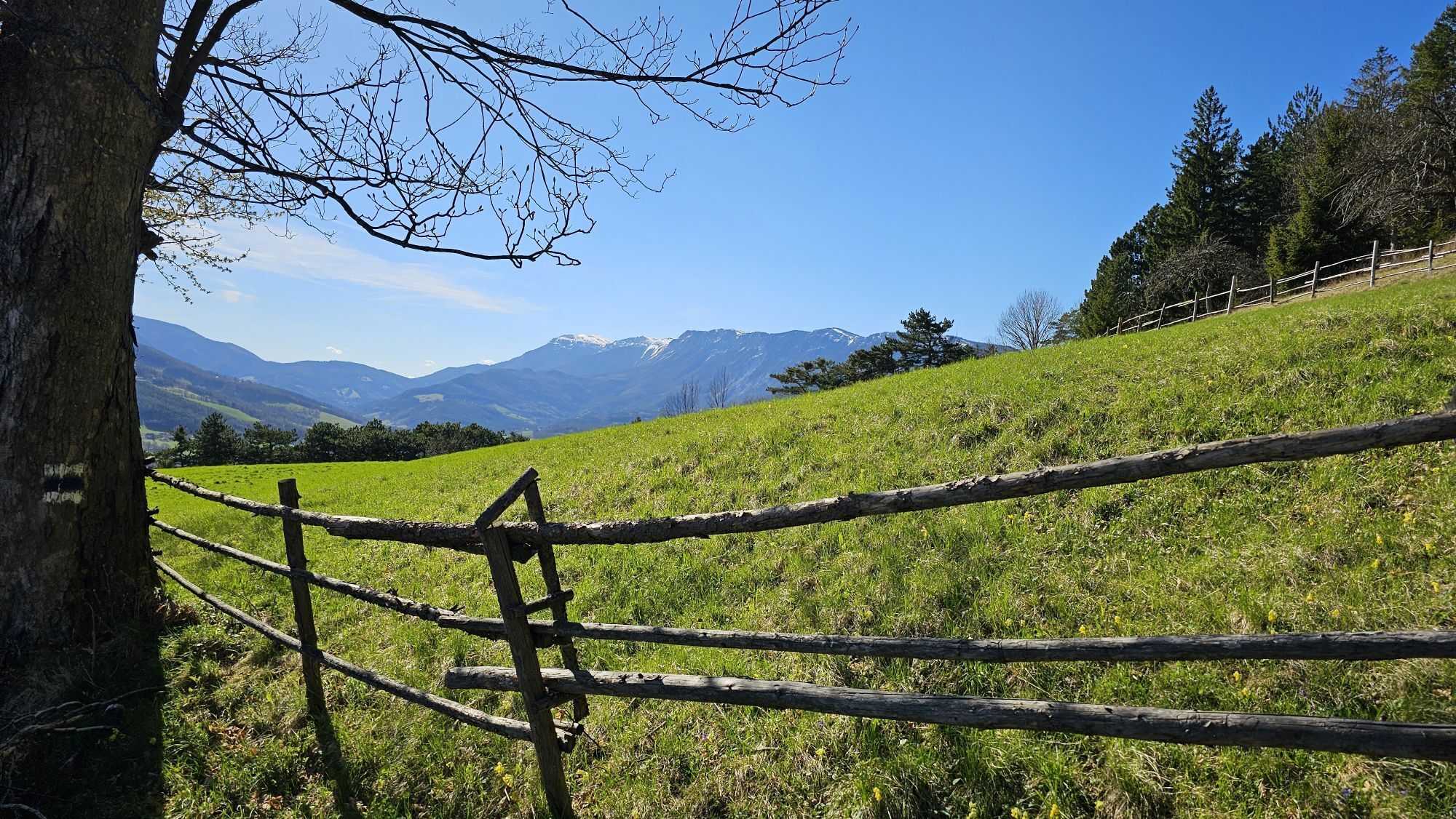
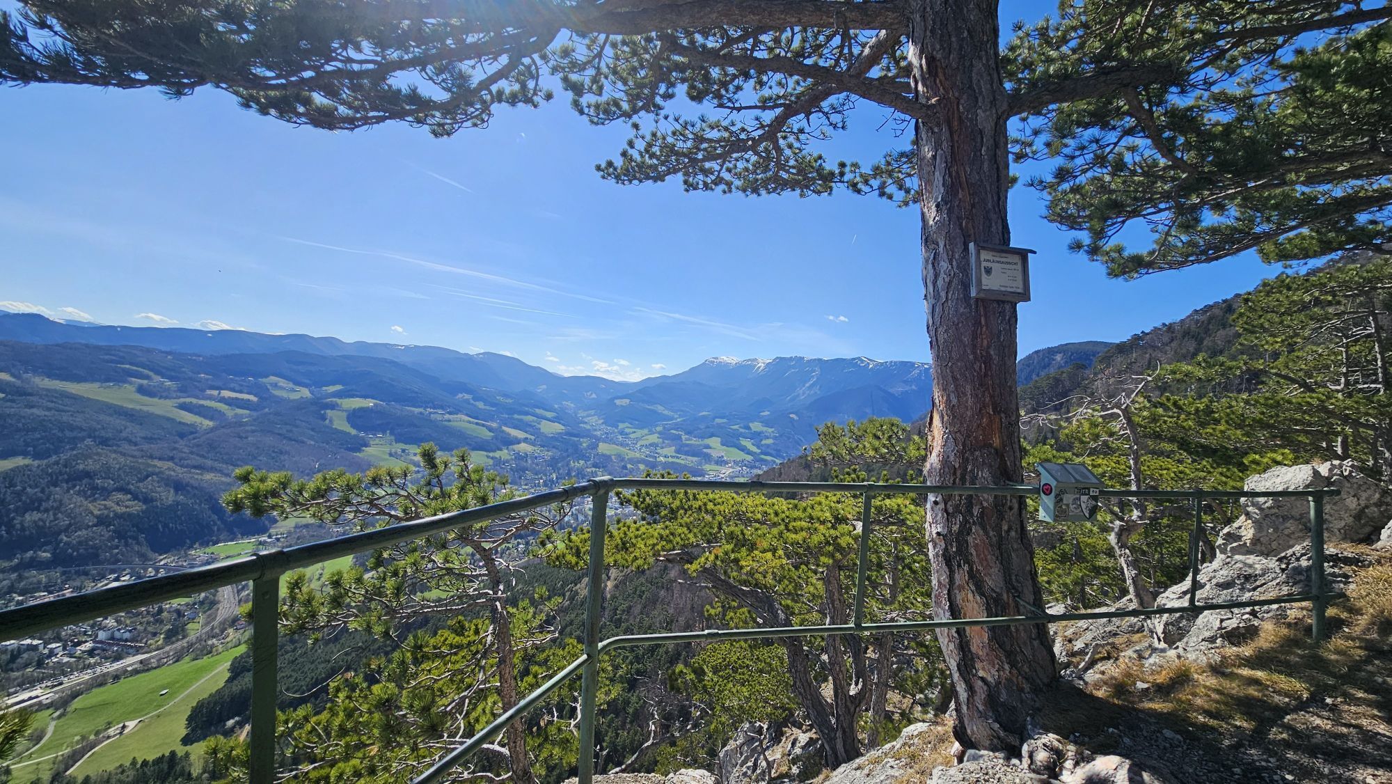
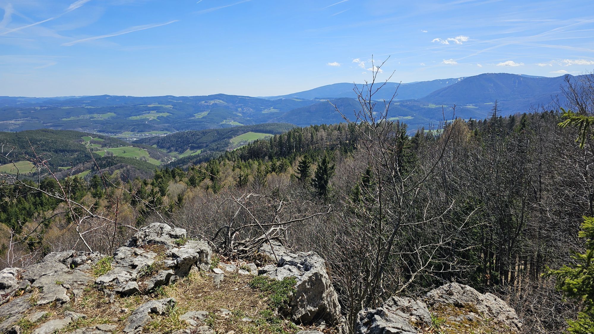
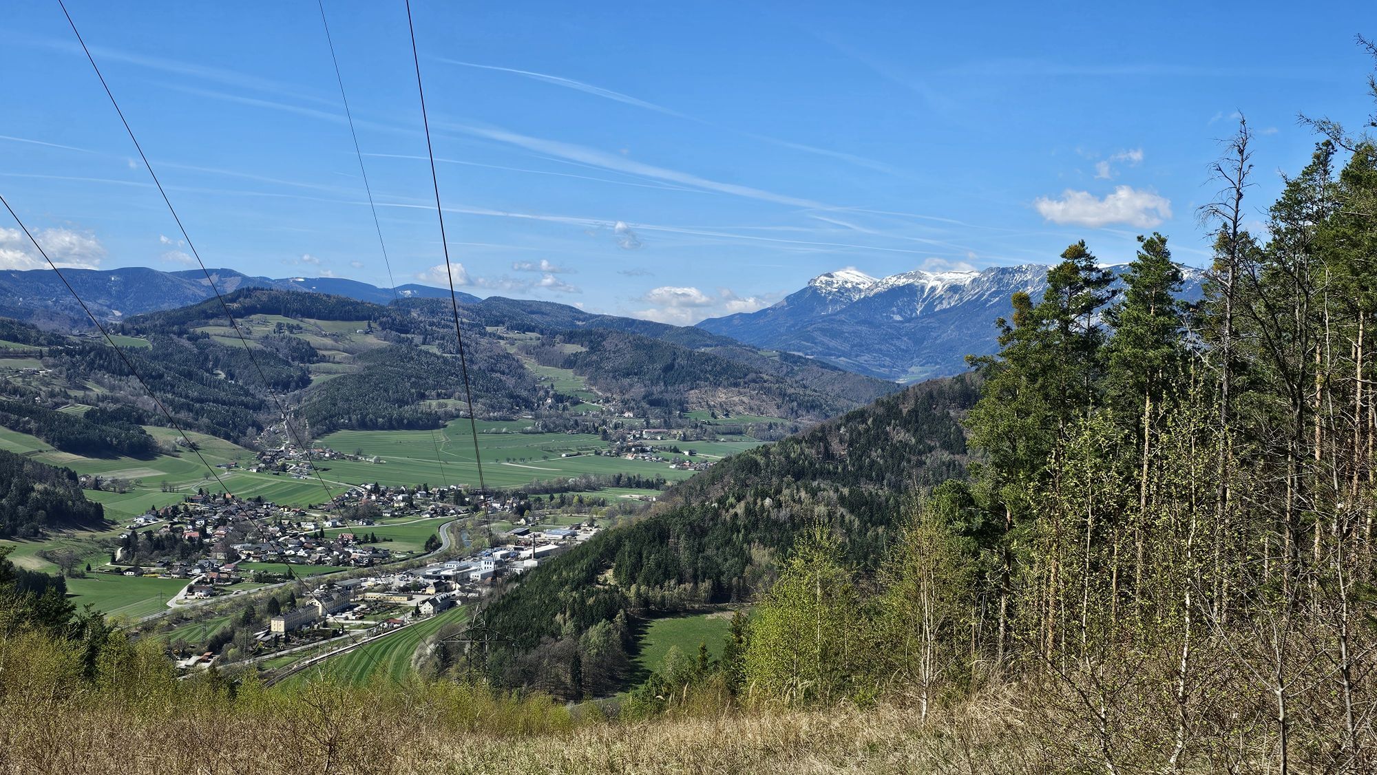
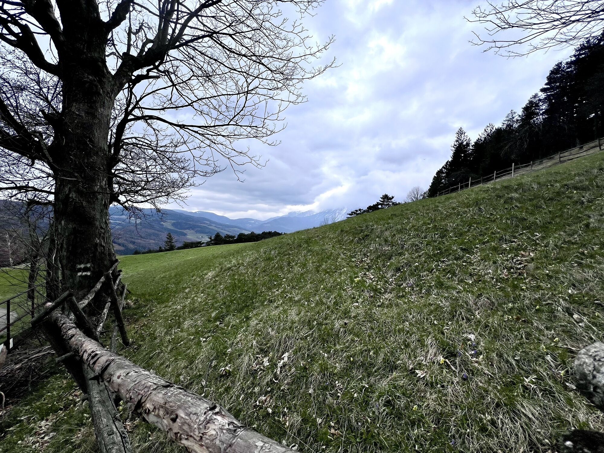
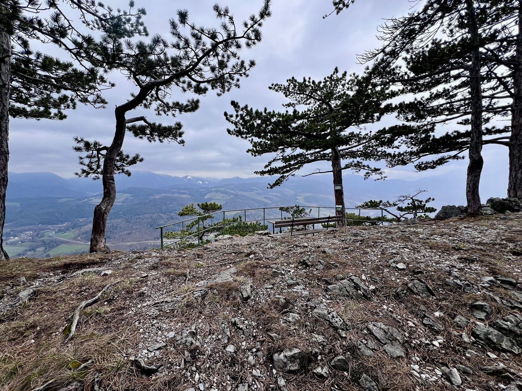
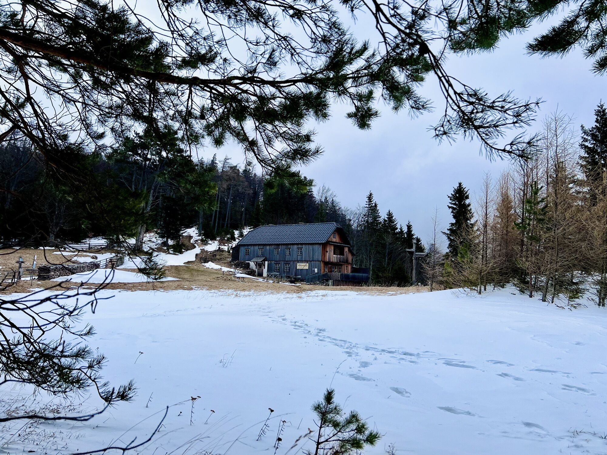
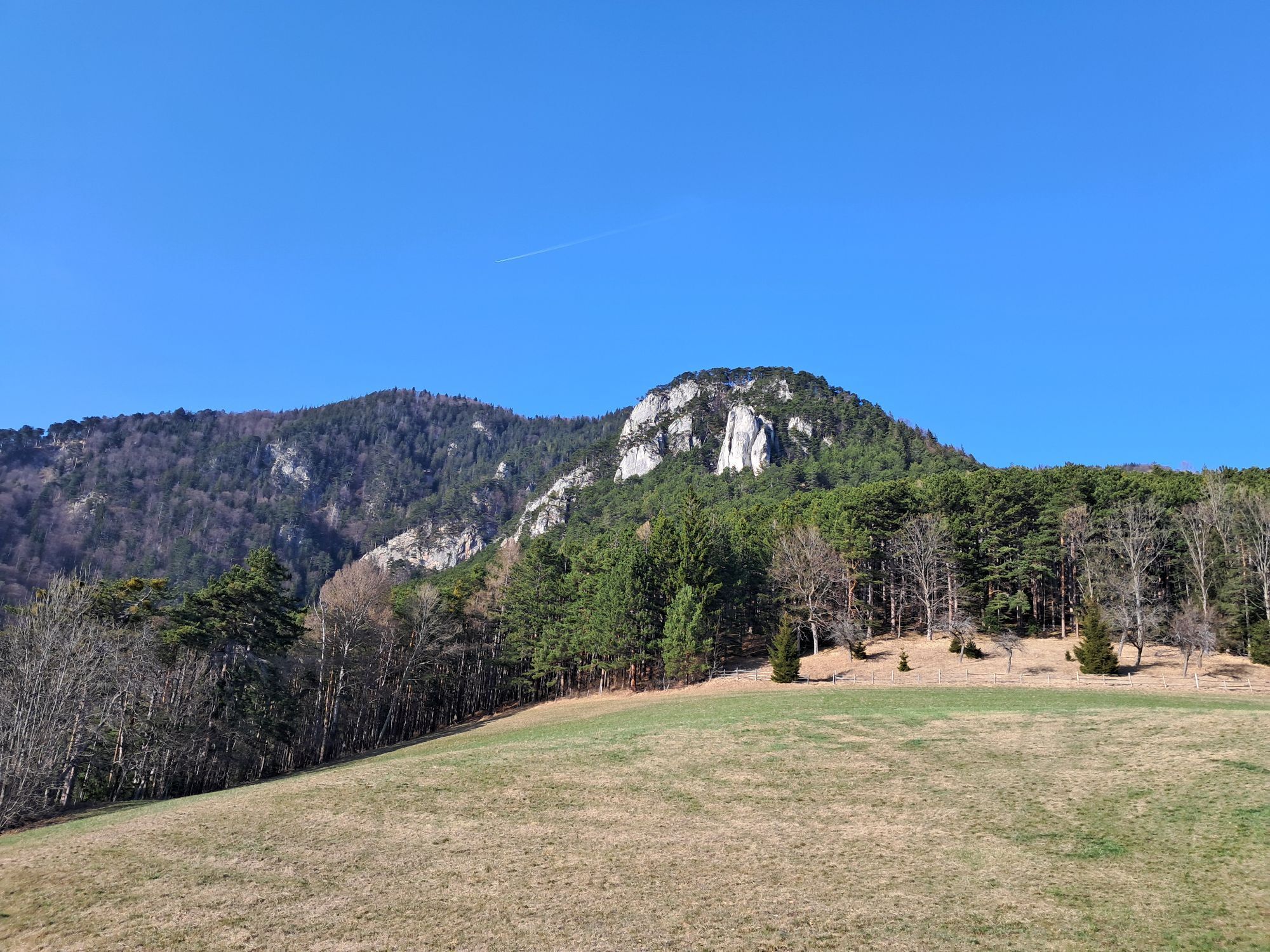
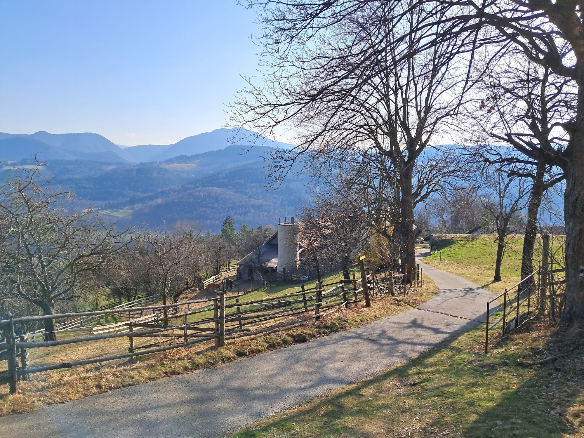
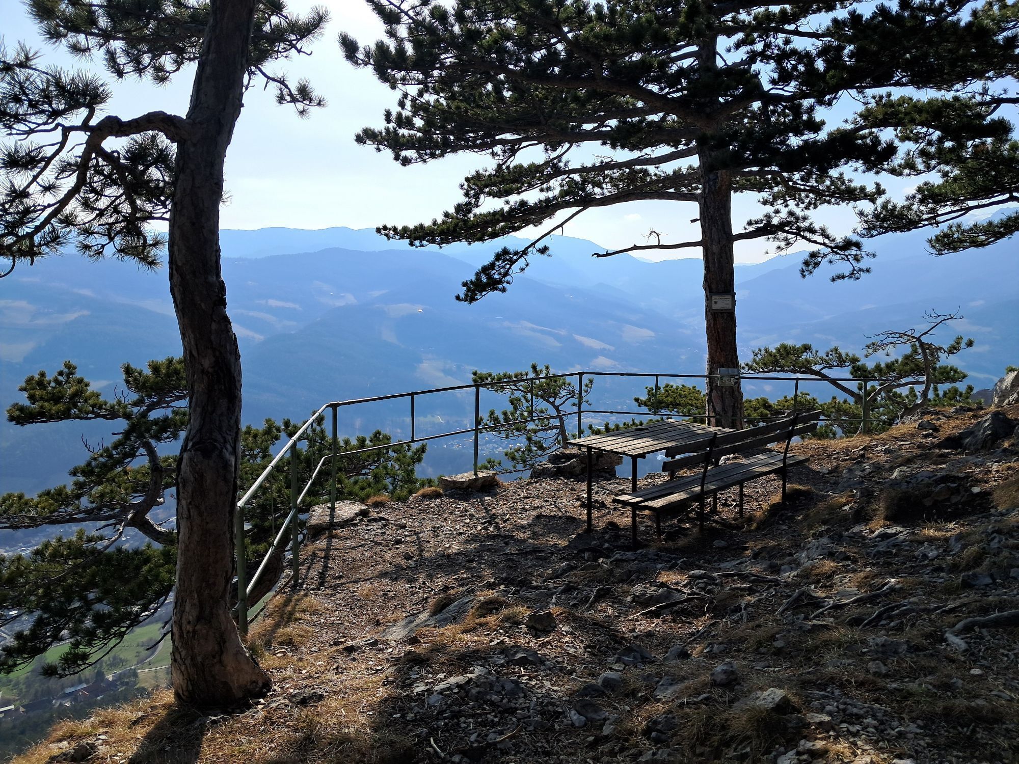
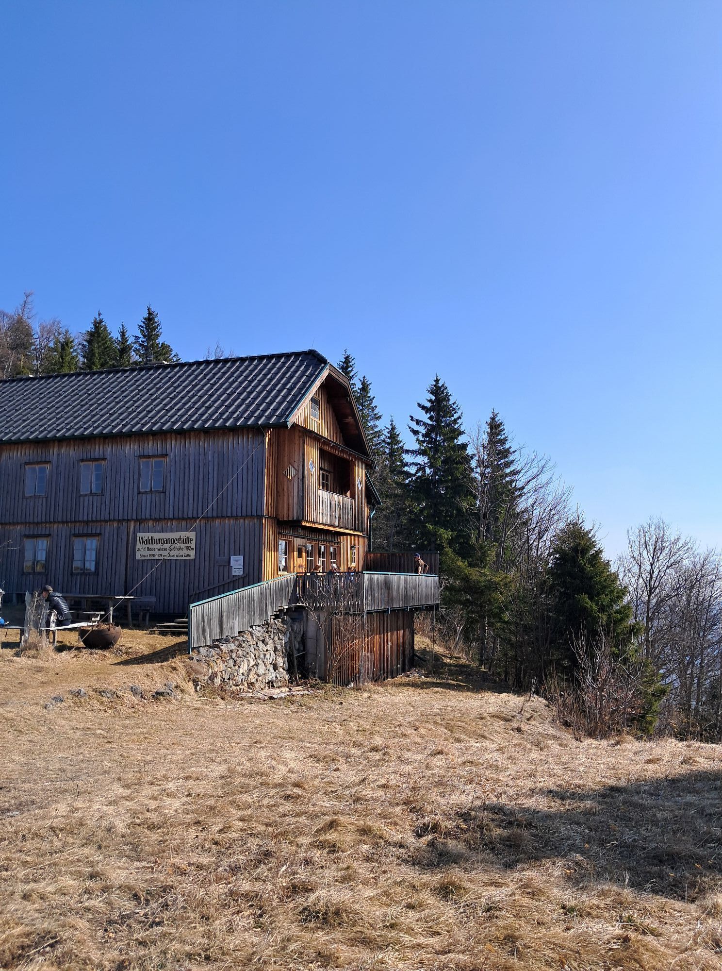
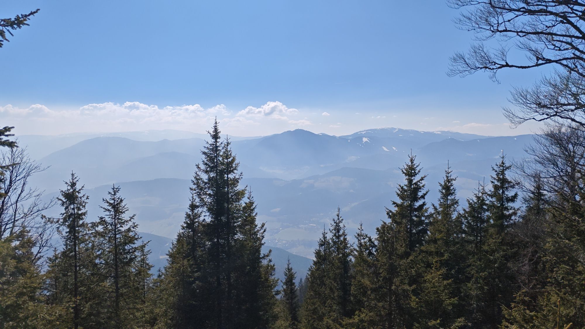
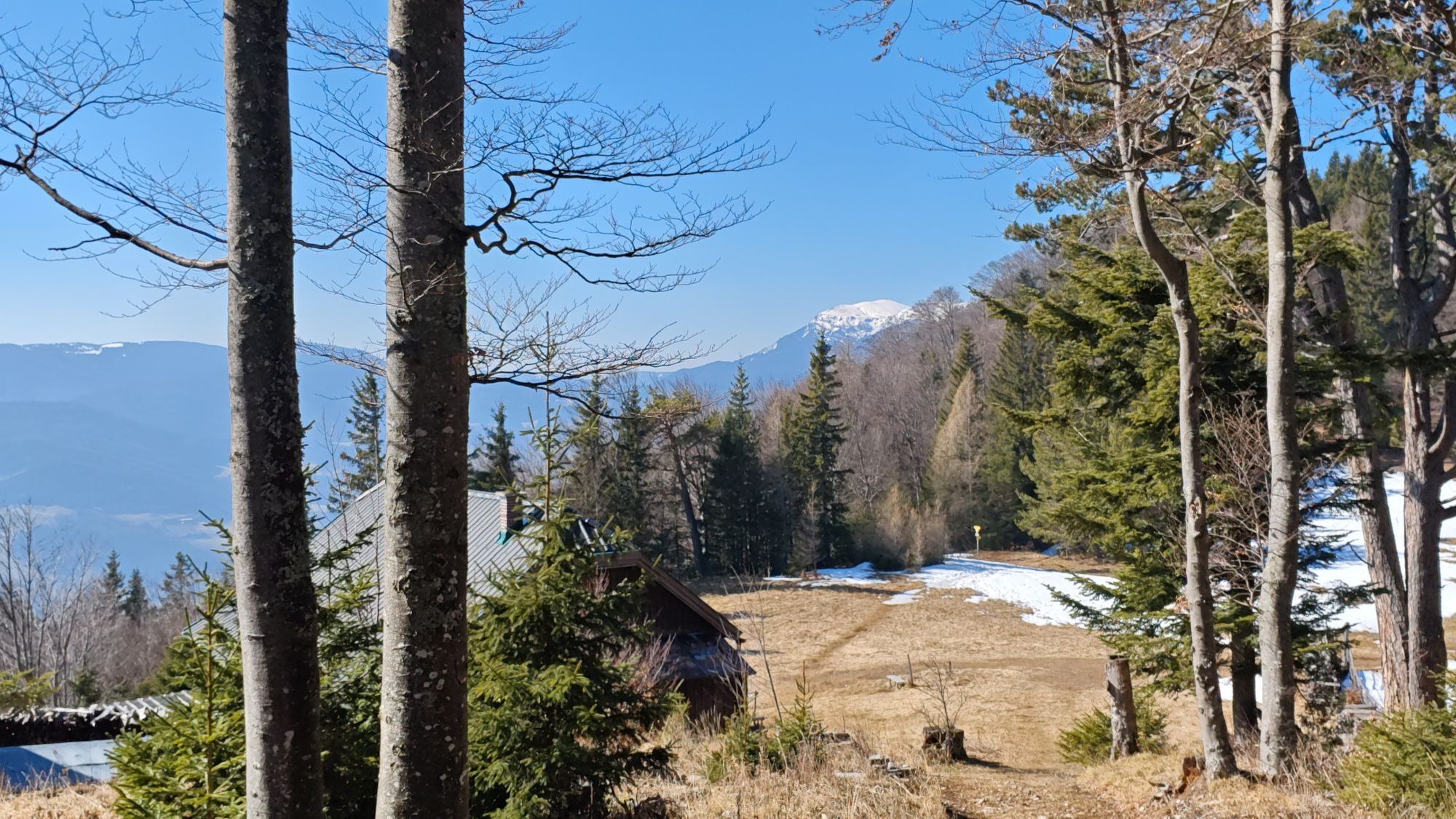
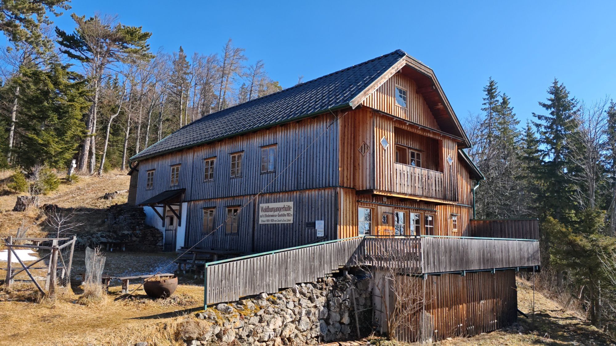
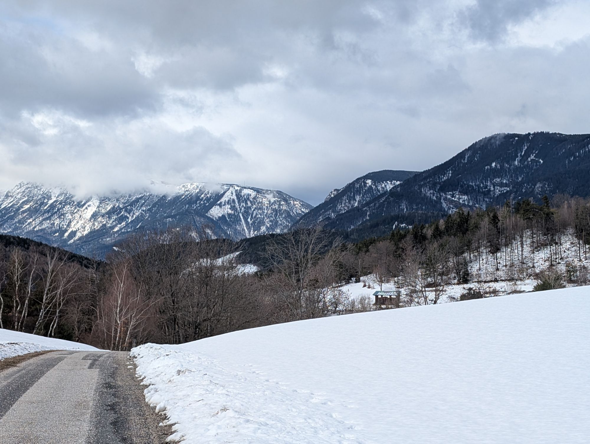
From the castle through the historic town of Gloggnitz, which experienced its first boom during early industrialization, the route leads on forest paths over Silbersberg (magnificent view back to Gloggnitz) to Prigglitz. Shortly before Prigglitz there is a great view over the wonderful cultural landscape from Prigglitz to the Rax on one side and to Seebenstein Castle on the other. In Prigglitz, the parish church invites you to interesting insights. On the climb towards Bodenwiese to the Waldburgangerhütte, there is a wonderful view of the Sonnwendstein and the pilgrimage church Maria Schutz. The fourth unexpectedly spectacular view can be found on the descent to Payerbach at the Jubiläum viewpoint.

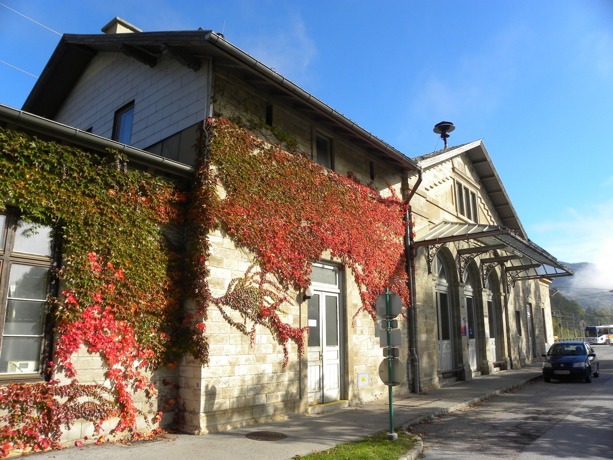
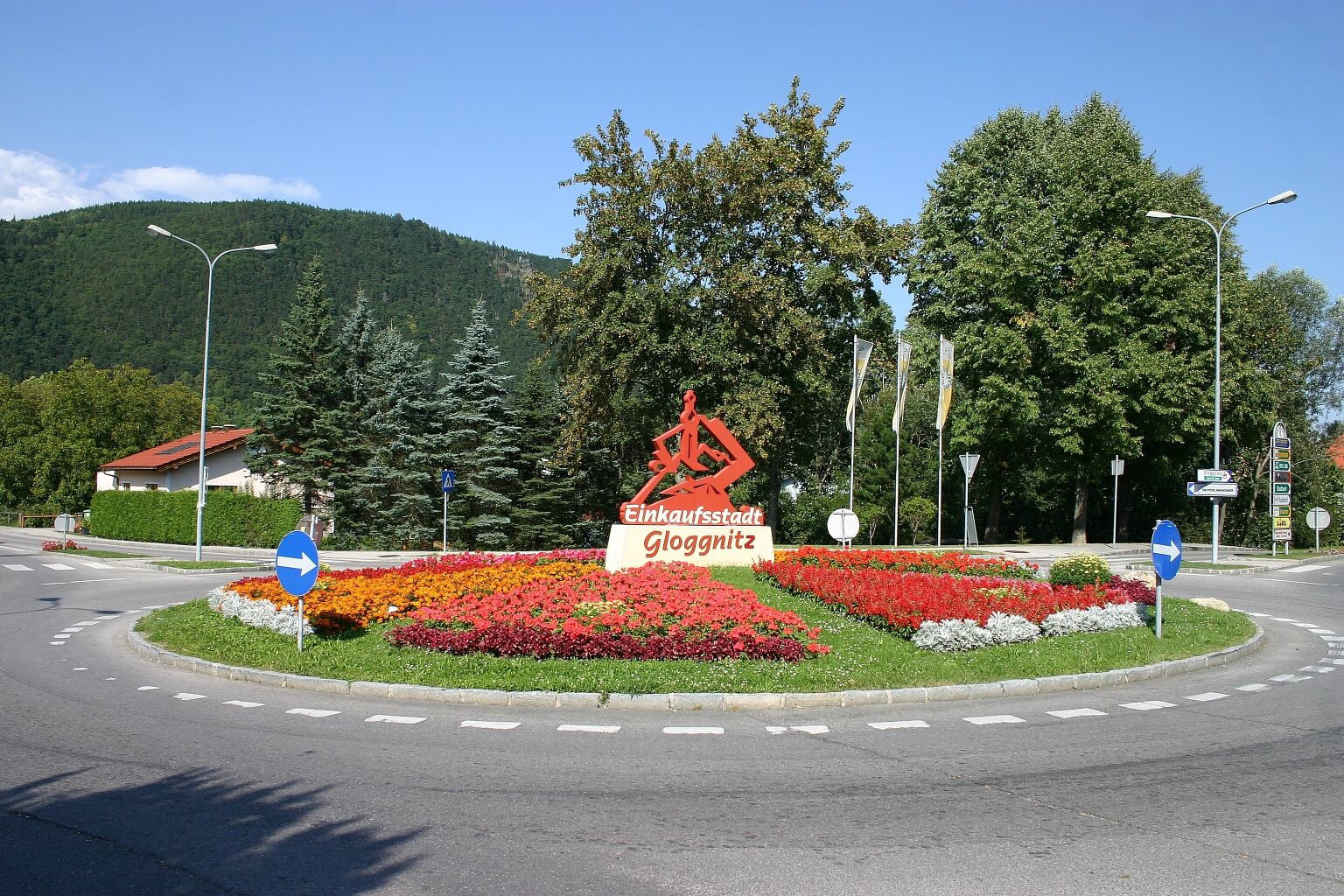
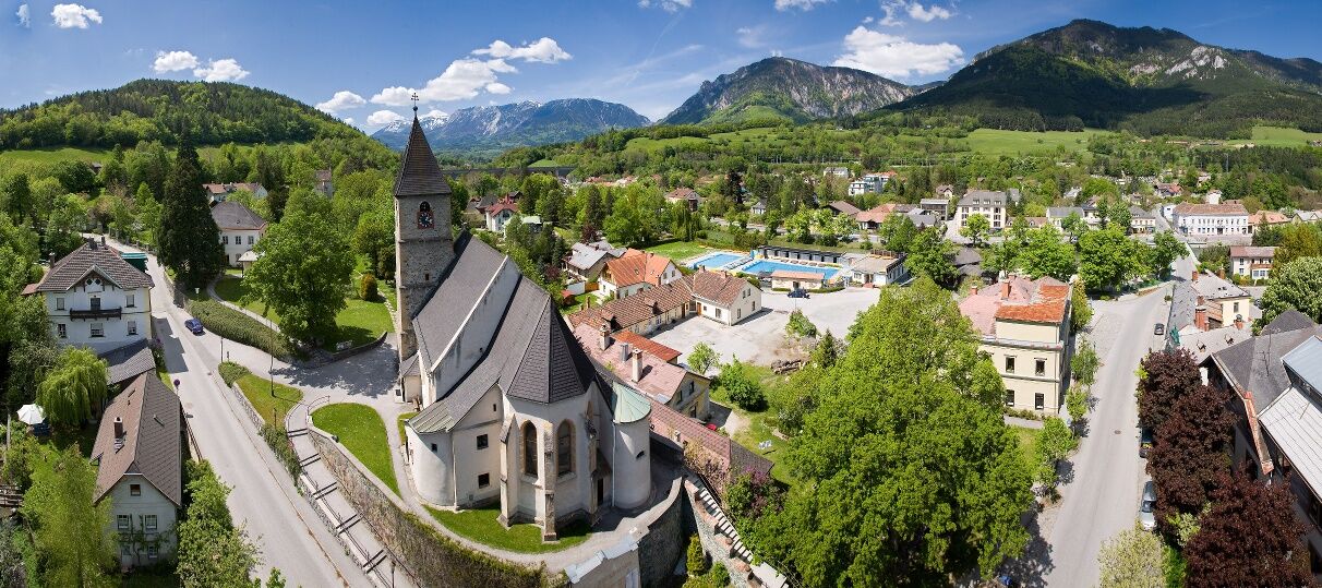
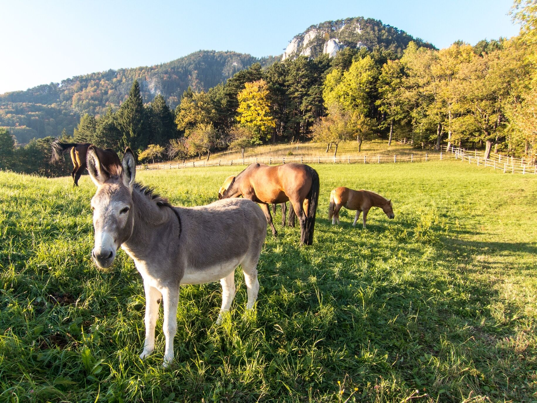

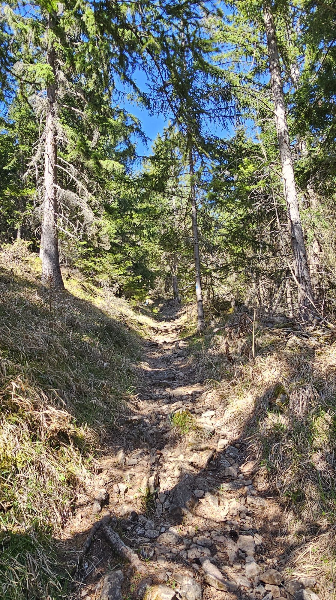
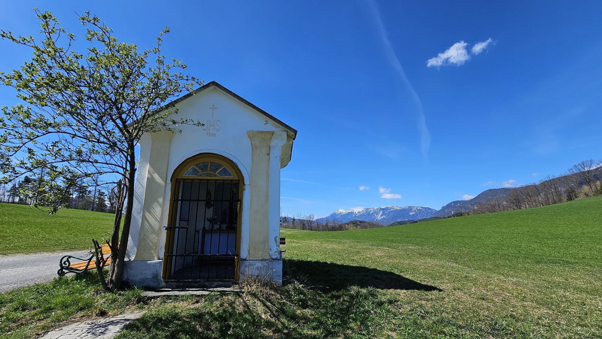
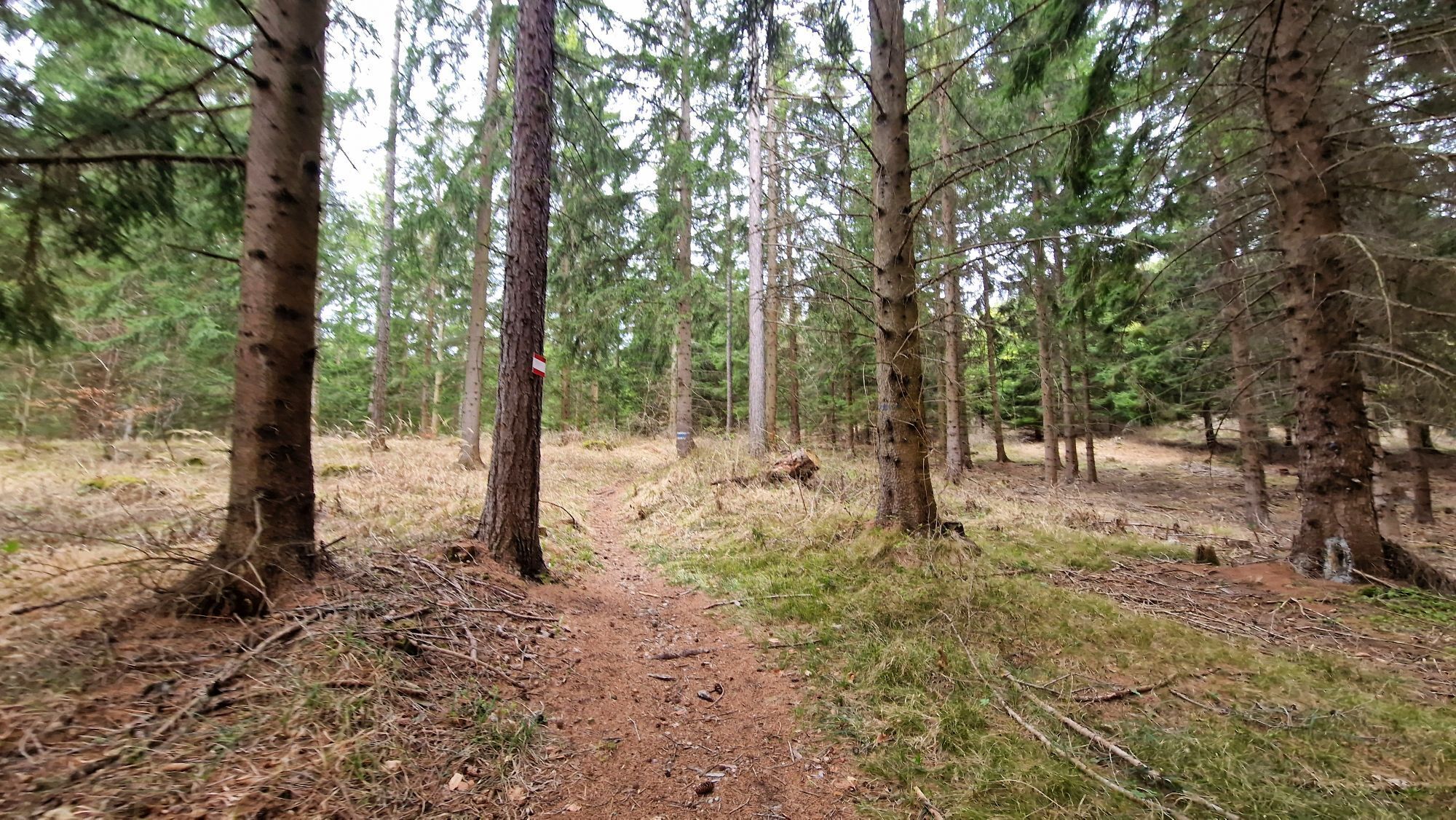
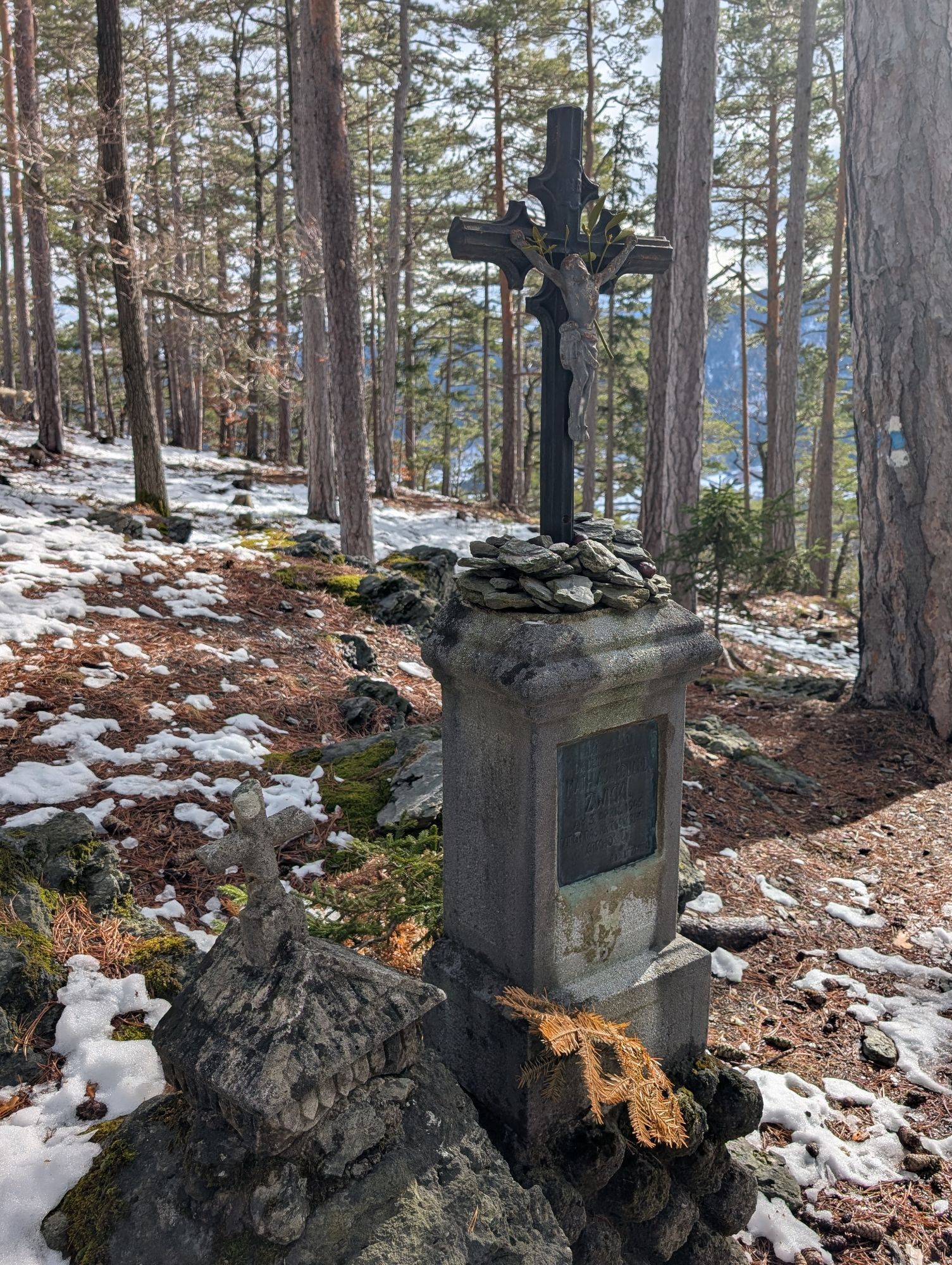
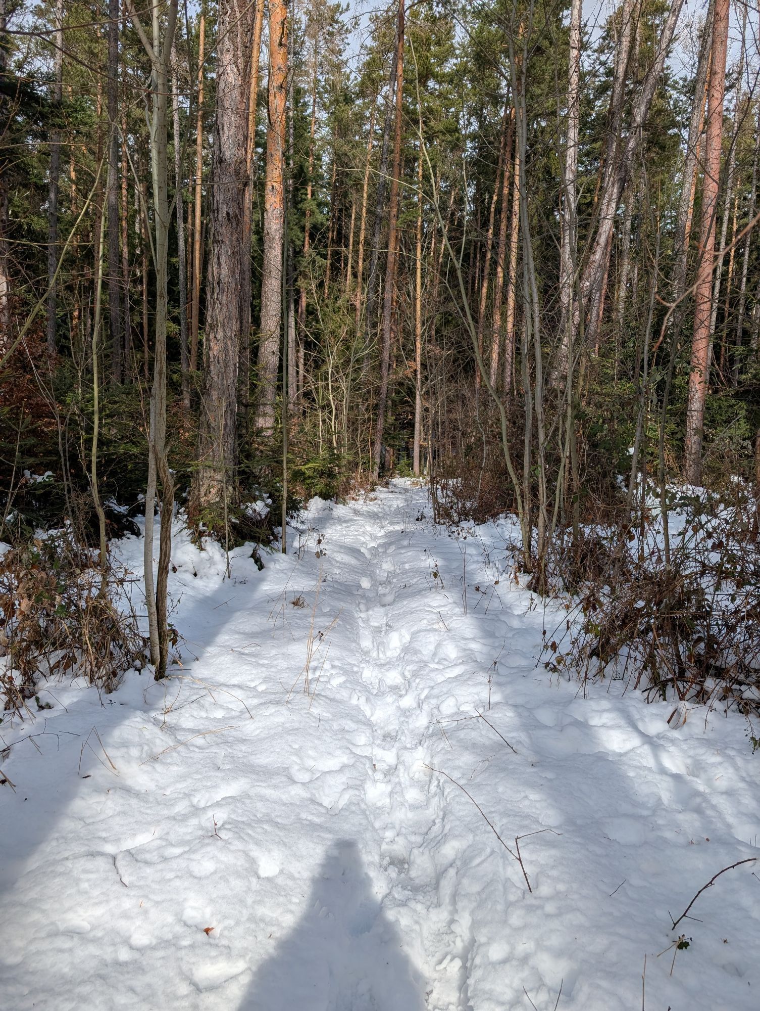
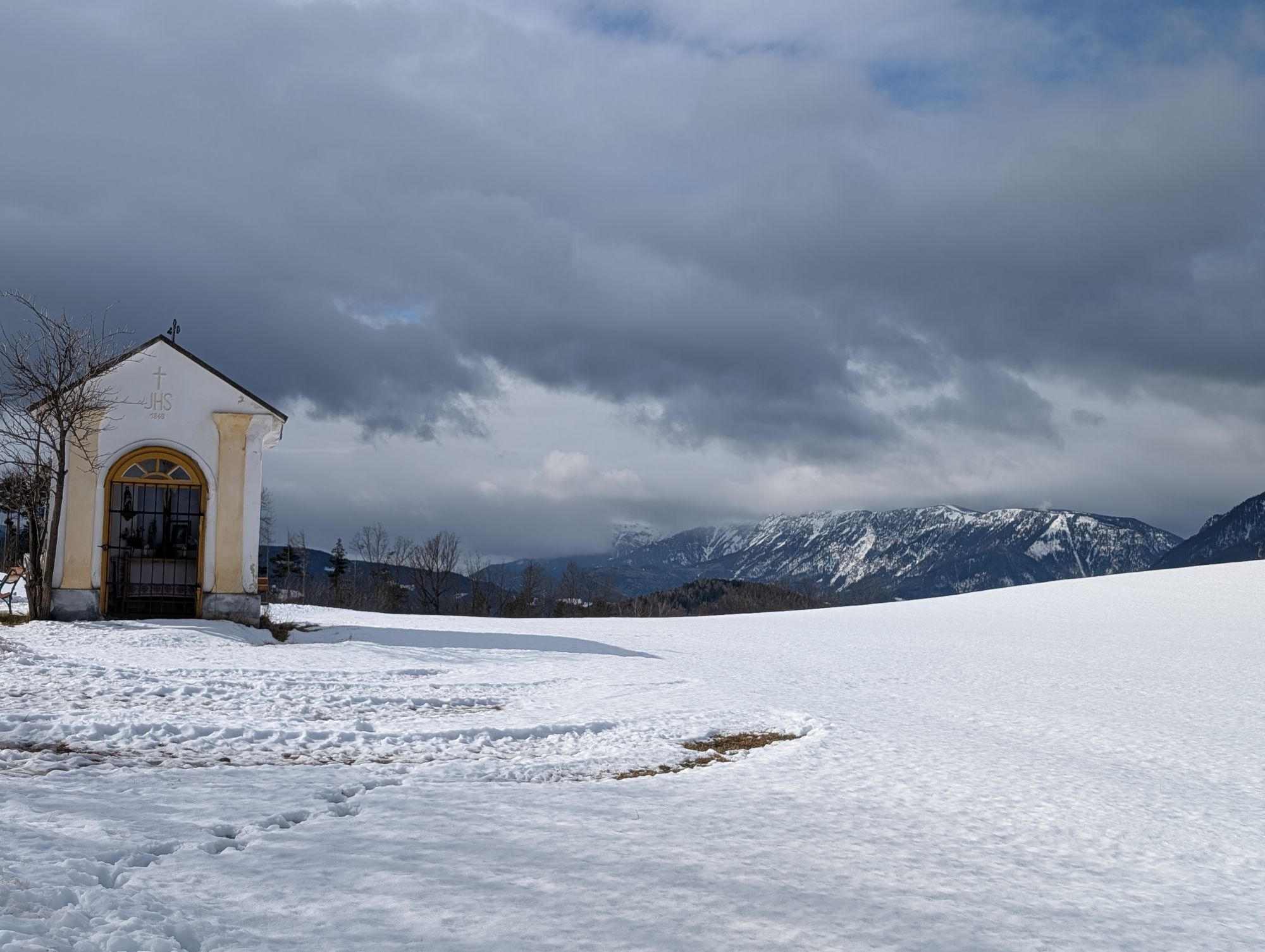
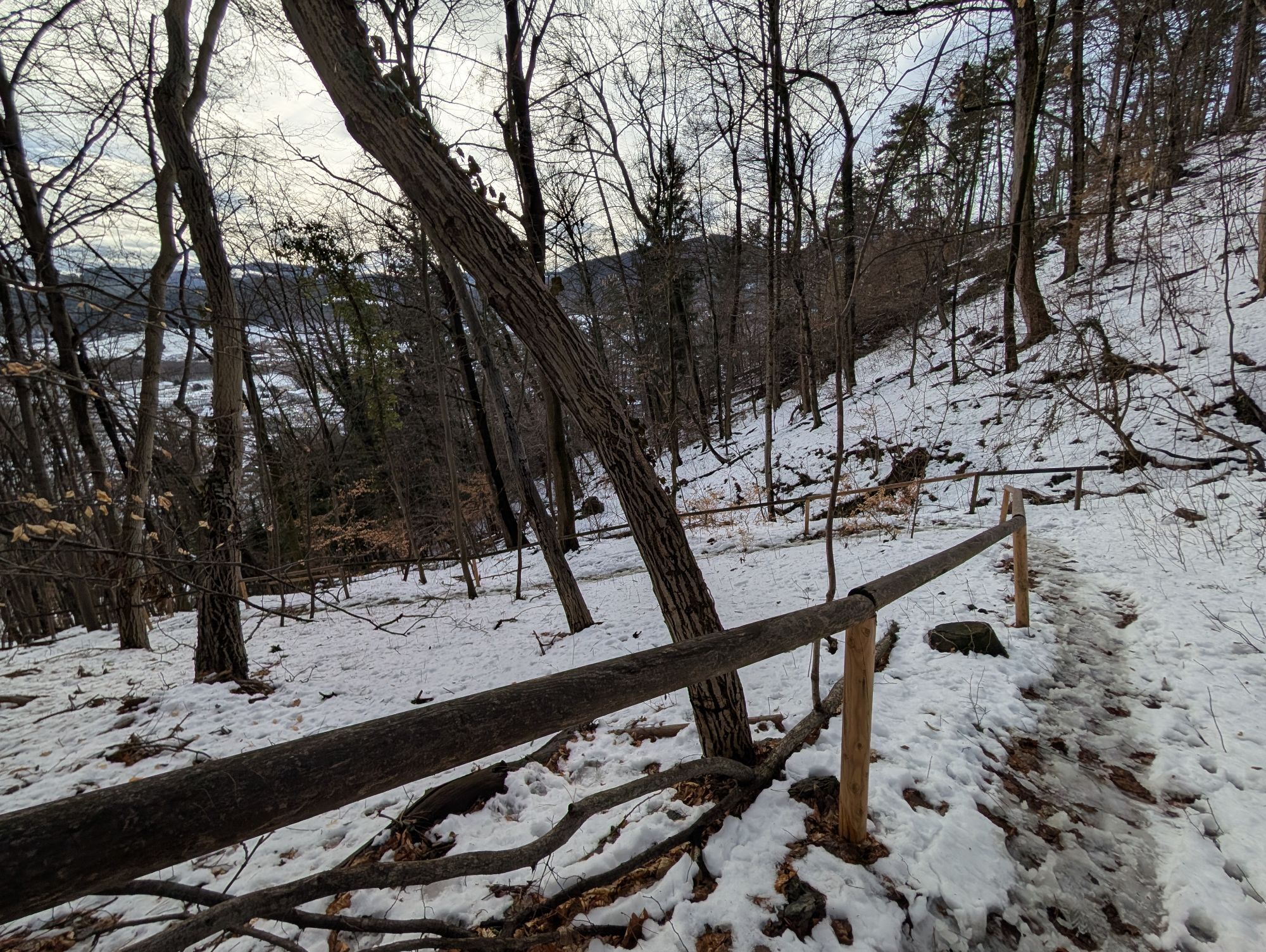
The Regional Route K starts directly at the information board at Schloss Gloggnitz. We descend the Kirchensteig (also railway hiking trail), cross the federal road at the staircase inn and follow the main road into the center of Gloggnitz. Immediately after the stairs to the church of Gloggnitz, we turn left into Adlergasse and cross the Schwarza on the bridge of the same name, and shortly afterwards also the railway tracks. We continue right into Untere Silbersbergstraße and after 10 minutes between houses turn left onto a hiking trail (marked red). This leads us uphill with several switchbacks and wooden railings towards Silbersberg, then further uphill along the edge of a meadow to a trail junction. Here we follow the path to the left over Silbersberg and Zwickl-Marterl (partially marked blue) with a view of Gloggnitz. The further path leads northwest to a farm track and, at a bend, to the Zwickl chapel. From here we look towards the Rax, the Hohe Wand, and the Bucklige Welt.
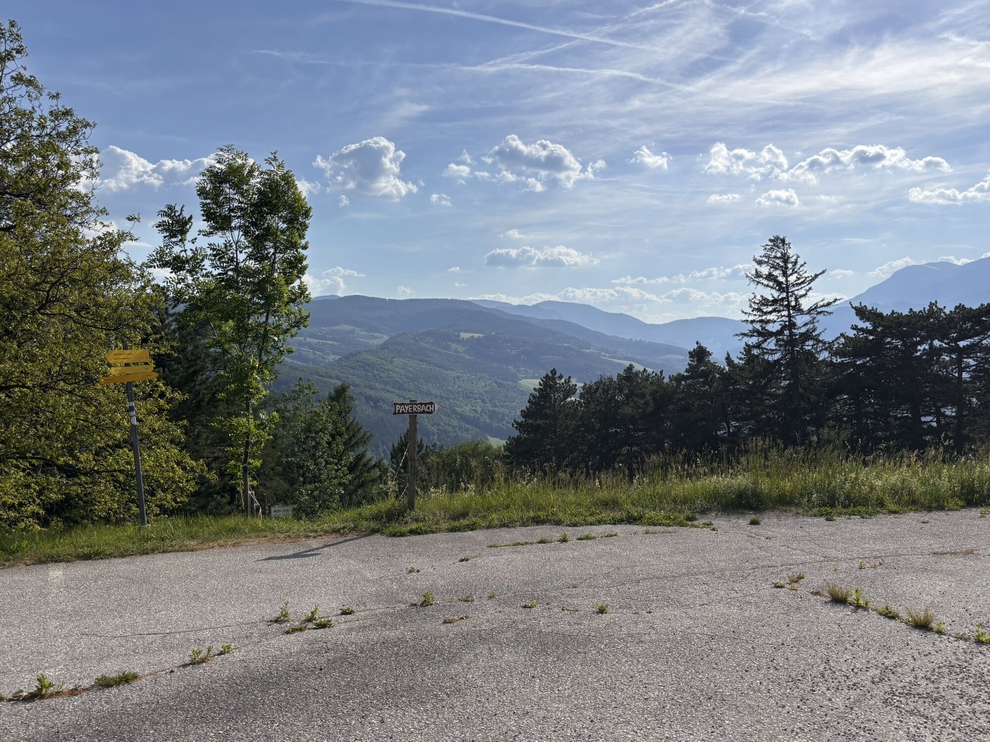
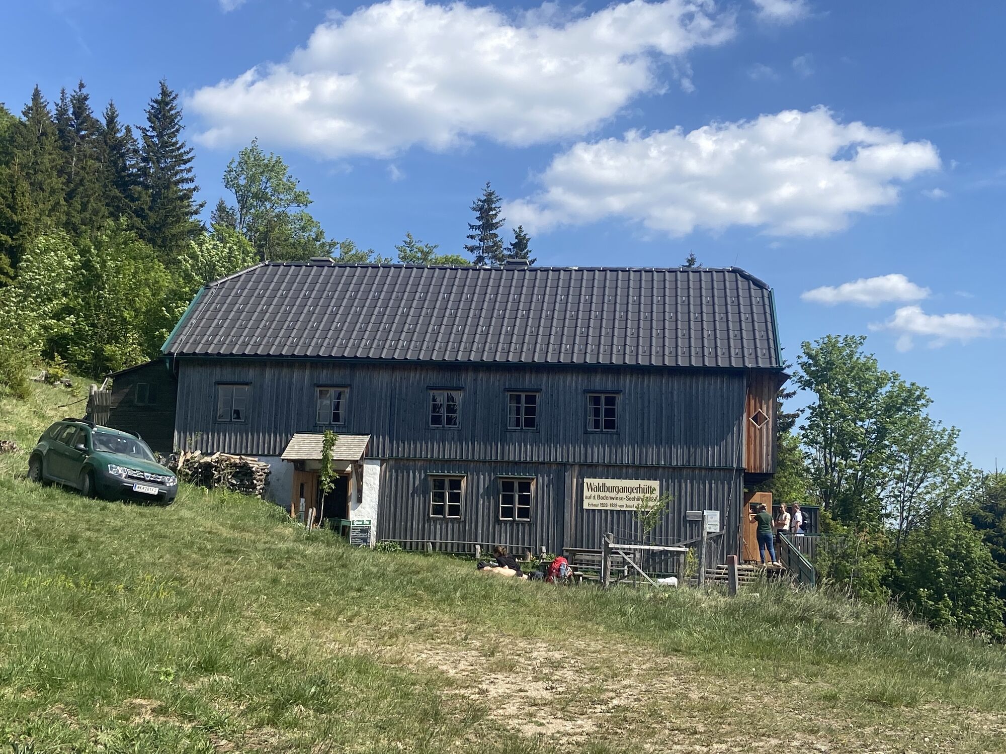
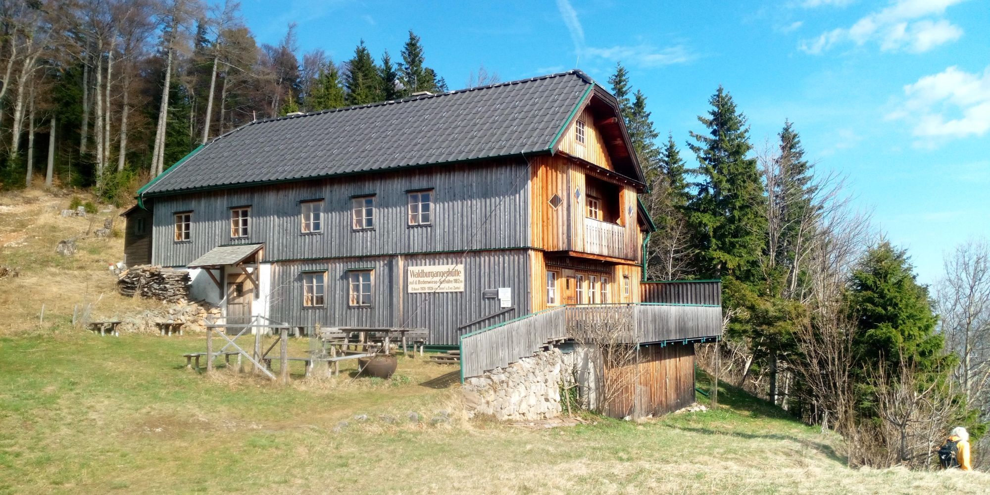
We follow the farm track to “Auf der Wiese”, turn right at the Seelhofer inn onto the road to Prigglitz and walk along the road towards Waldburgangerhütte until shortly before Holzkuh. Here we sharply turn left off the road onto the ridge path towards Bodenwiese (marked red, also trail numbers 10 and 11). From here we steadily climb forest and forestry paths uphill to Schwarzenbergaussicht and onward to Waldburgangerhütte (trail number 11, marked red, partly blue). Especially a short rest at Schwarzenbergaussicht is a blessing for mind and body. The next great view awaits us at Waldburgangerhütte before the descent to Payerbach begins.
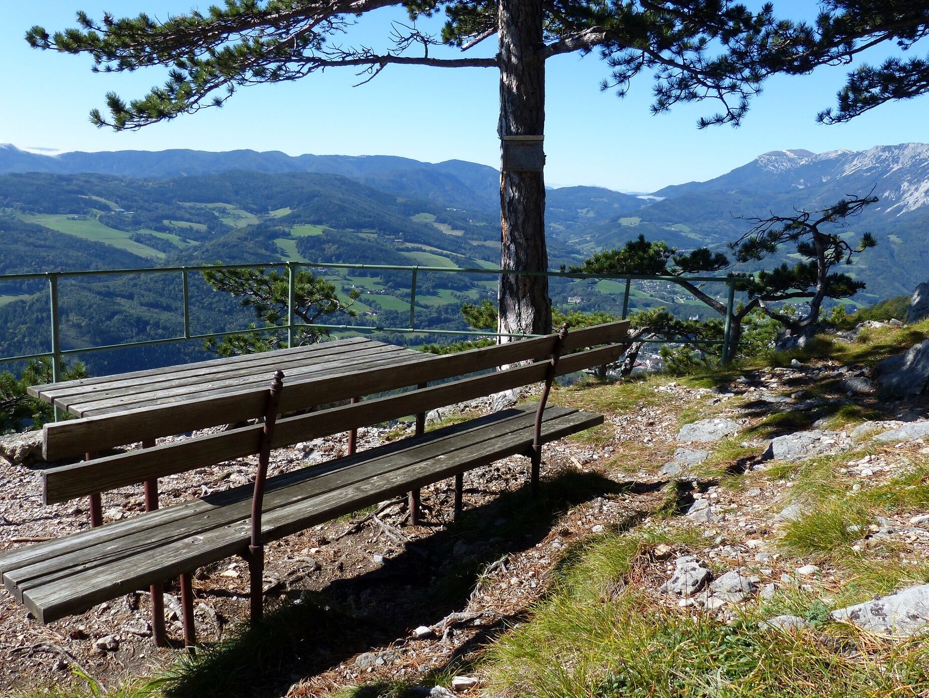
Opposite the hut, the descent paths to Payerbach begin. We keep left here and follow the direction to Payerbach station via Hochberger. At the upcoming forest road, we turn right and after a few meters switch left to a blue-marked footpath to Payerbach. We cross a forest road, follow the footpath and visit the Jubiläum viewpoint. From here you can see the Rax and Semmering areas.
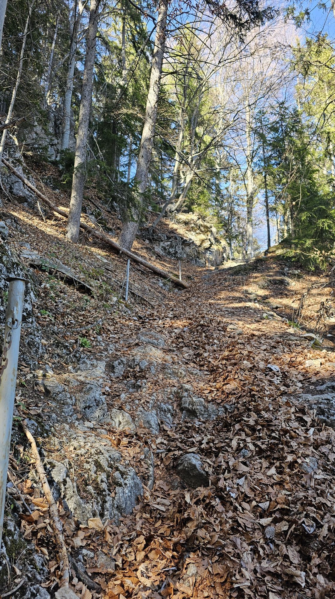
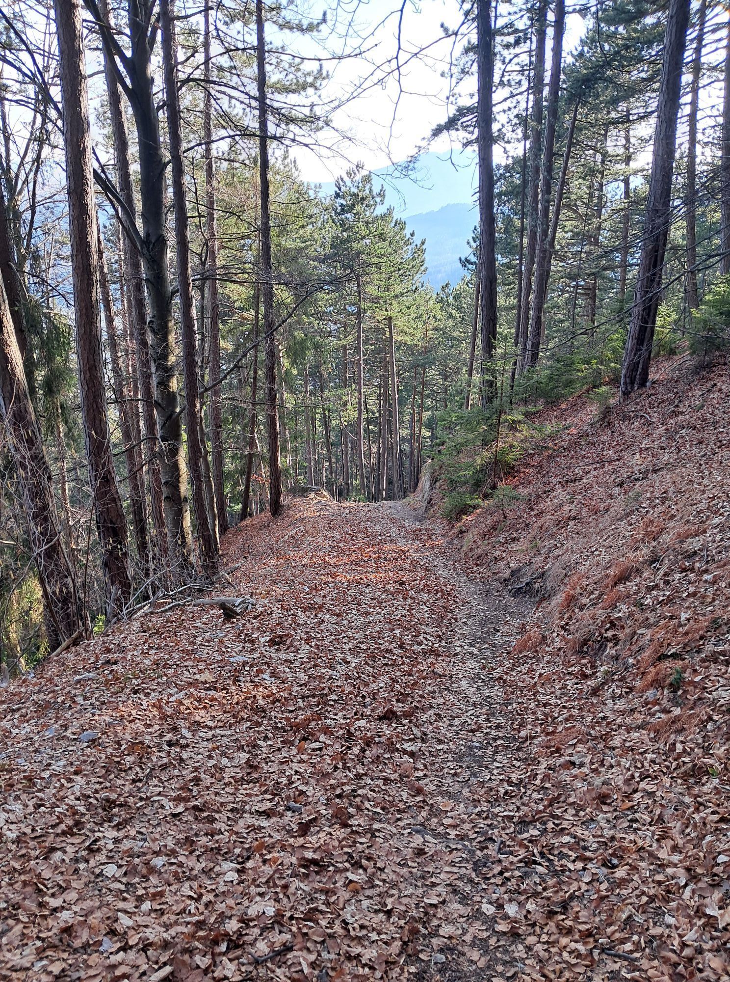
Back on the path, we continue hiking down the forest trail, partially secured with chains. Almost 300 meters below the Jubiläum viewpoint, we reach an asphalt road that leads us past the Hochberger farmstead and soon leaves us again on a forest path on the left. Shortly afterwards, we cross the asphalt road again and follow the blue-marked forest path downhill, ignoring the green-branching hiking trail to the right. We hike the upcoming farm track downhill in two switchbacks and see the Payerbach/Reichenau station in front of us. The last meters take us through the underpass and we reach the station on the left, the end of the Regional Route K. From here, we can conveniently start our journey home or spend a night at the Payerbacherhof. At Payerbach station, another stage of the Wiener Alpenbogen starts via the water pipeline trail to the Naturfreundehaus Knofeleben; the Regional Route M leads via Maria Schutz to Sonnwendstein, and opposite the Alpenbogen is the ascent to the Rax to the Otto-Schutzhaus as an alternative option.
Always take suitable maps with you. Wear sturdy shoes adapted to the route, take sun and rain protection as well as water and a snack. Take your mobile phone with you and save the mountain rescue emergency number: 140
Your hikes in the Vienna Alps should be a thoroughly pleasant and safe experience. Please observe the following:
Preparation
Make sure when choosing the route that it matches your mountain experience and condition. Check the weather forecast in advance. Weather in the mountains can change suddenly. Therefore, always start out properly equipped (e.g., rain protection).
Check whether the huts and snack stations you want to visit are open. Inform someone about your route choice and planned return before you start.
Coming from Vienna, drive the A2 to the Seebenstein junction, continue on the S6 to the Gloggnitz exit. Follow the B27 and shortly before the new railway bridges of the future Semmering Railway, turn left onto Eichbergstraße. Coming from Graz, follow the S35 to Bruck/Mur, continue on the S6 to Gloggnitz, and then follow the same route as from Vienna.
Travel by train via Wiener Neustadt to Gloggnitz station.
Schloss Gloggnitz as the starting point is about 20 minutes from the station.
For further information, visit www.oebb.at
Parking available at Schloss Gloggnitz.
Also explore the connecting routes:
WAB - Regional Route J: Payerbach - Waldburgangerhütte - Knofeleben
WAB - Regional Route L: Kalte Rinne Breitenstein - Schloss Gloggnitz
Vienna Alps in Lower Austria, www.wieneralpen.at, +43 / 2622 / 78960
Tourist Information Reichenau an der Rax, www.reichenau.at, +43 / 2666 / 52206 25
Combine your hike with a stay in a gourmet room at the hiking business Hotel Payerbacherhof.

Priljubljeni izleti v okolici
- 4,6
Losenheim: Edelweißhütte - Fadensteig - Fischerhütte
srednjaPohodništvo 11,5 km - 4,6
Zahnradbahn und Wandern am Schneeberg - Plateauwanderung
srednjaPohodništvo 6,90 km - 5,0
Insider tip: Schneeberg via the Novembergrat
težkoPohodništvo 13,5 km - 4,9
"Weichtalklamm" über Stock und Stein durch das Höllental - Weichtalhaus - Kientallerhütte 1340m
srednjaPohodništvo 14,0 km - 4,9
SCHNEEBERG Losenheim Nandlgrat Klosterwappen Fadenweg 28.09.2017
težkoPohodništvo 15 km - 4,9
"Über den höchsten Nieder-Ösi" - Schneeberg - Weichtalklamm - Klosterwappen - Stadlwandleiten
srednjaPohodništvo 17,7 km - 4,9
Flatzer Wand Wanderung
svetlobaPohodništvo 5,62 km - 4,9
Rax
srednjaPohodništvo 6,70 km - 4,8
Schneeberggebiet: Ein Stückchen am Wasserleitungsweg im Höllental
svetlobaPohodništvo 2,64 km - 4,8
"Krummbachstein 1602m" - Eng - Payerbach - Rundwanderweg
srednjaPohodništvo 24,8 km
Pohodništvo in sledenje


Ne zamudite ponudb in navdiha za naslednje počitnice
Vaš e-poštni naslov je bil dodan na poštni seznam.





