







Südlicher Grafensteig am Schneeberg
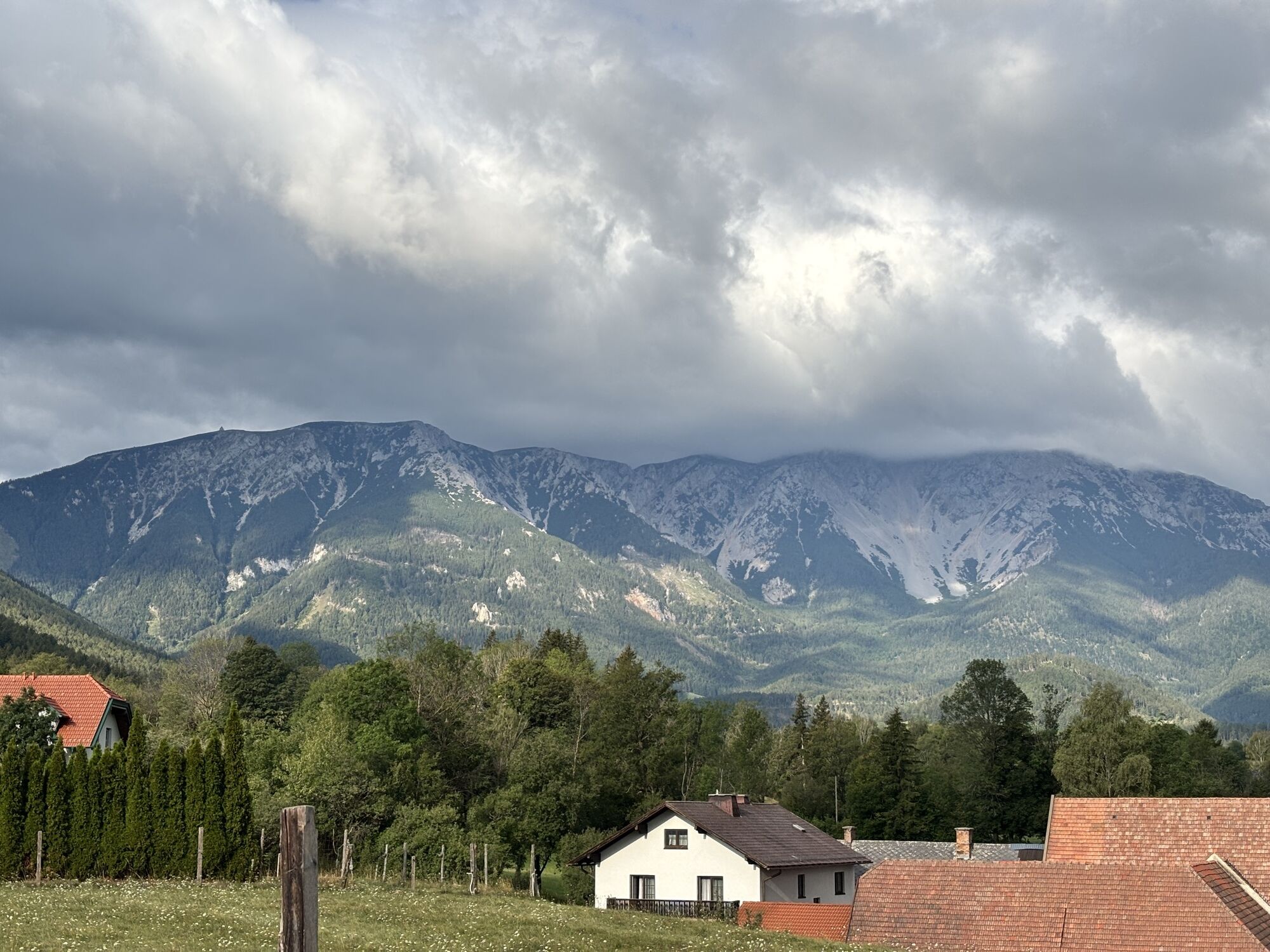
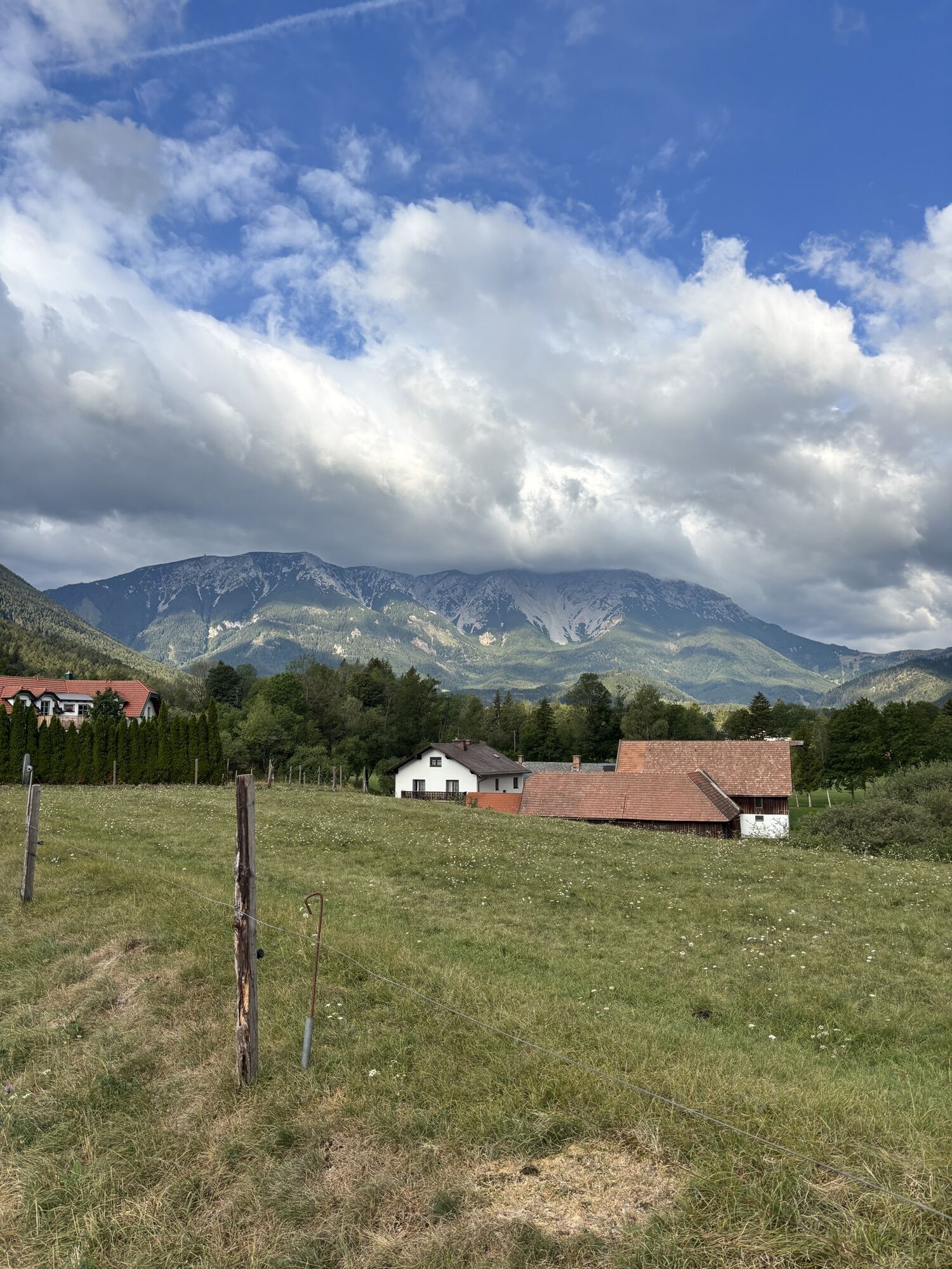
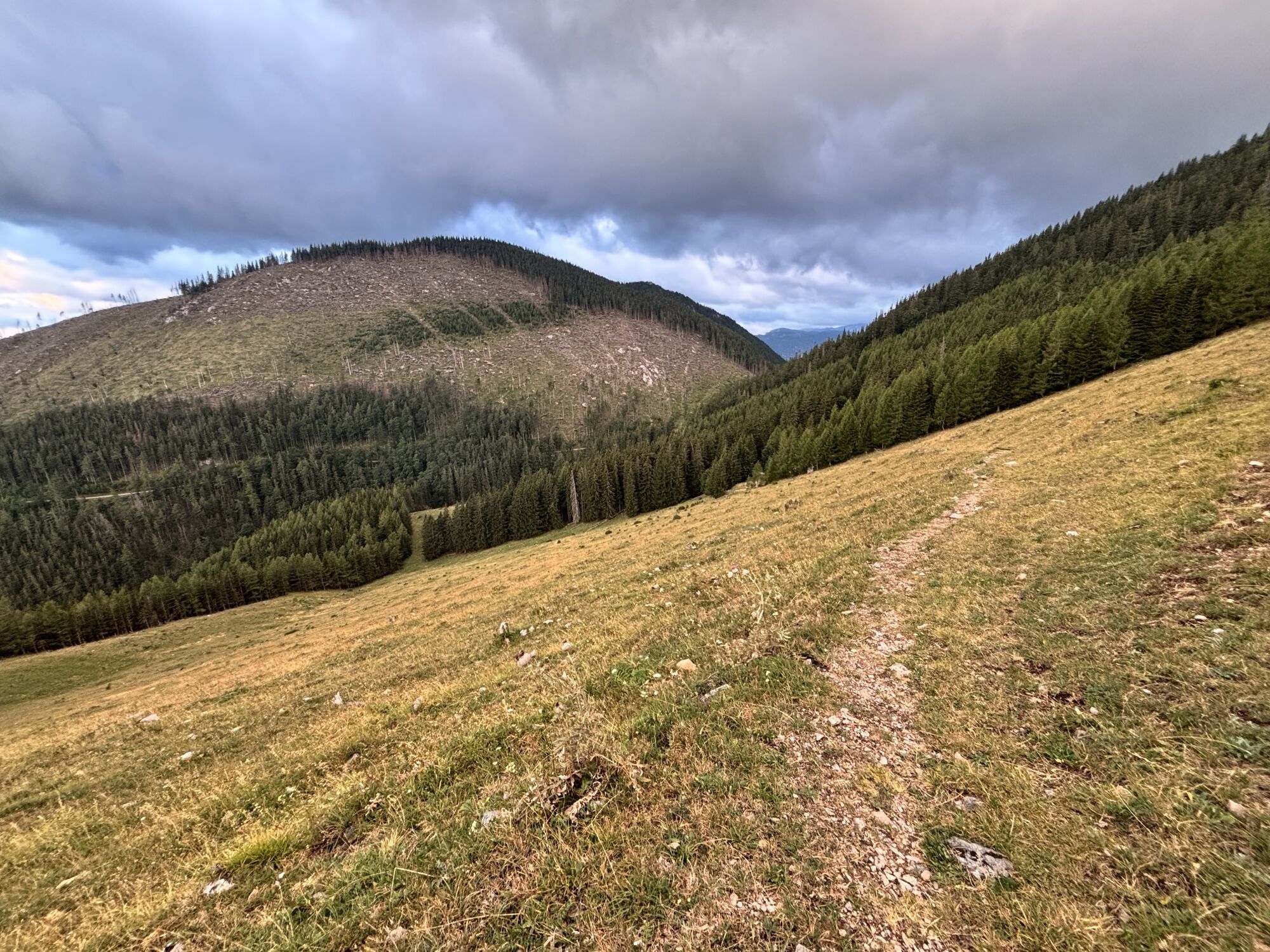
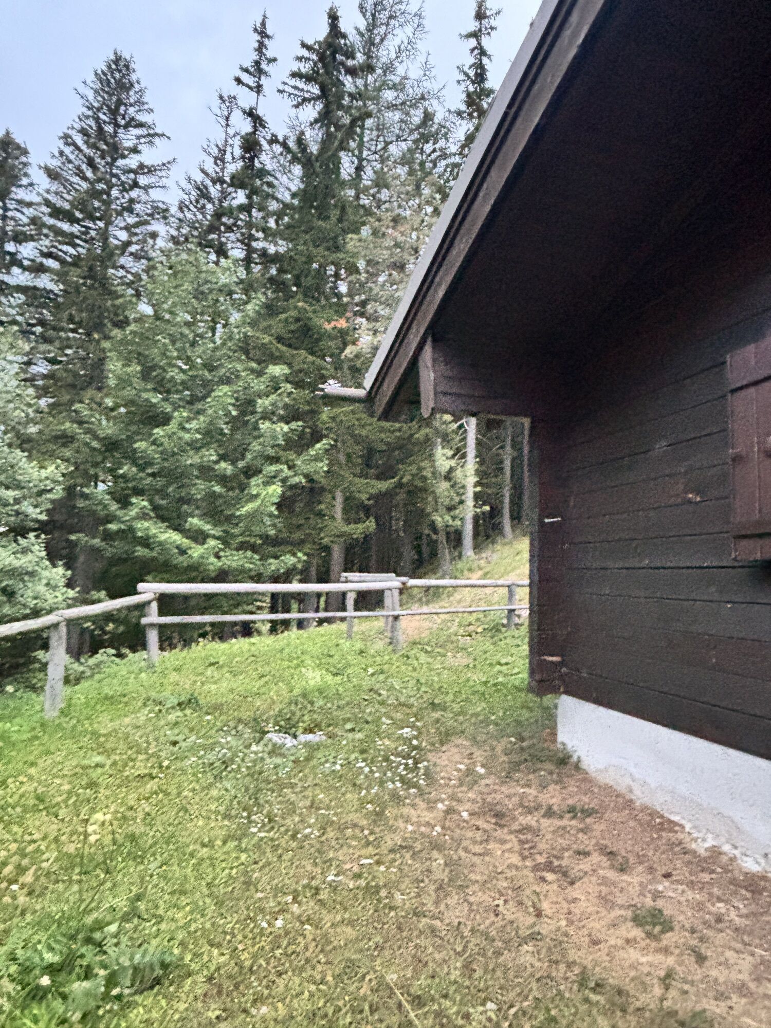
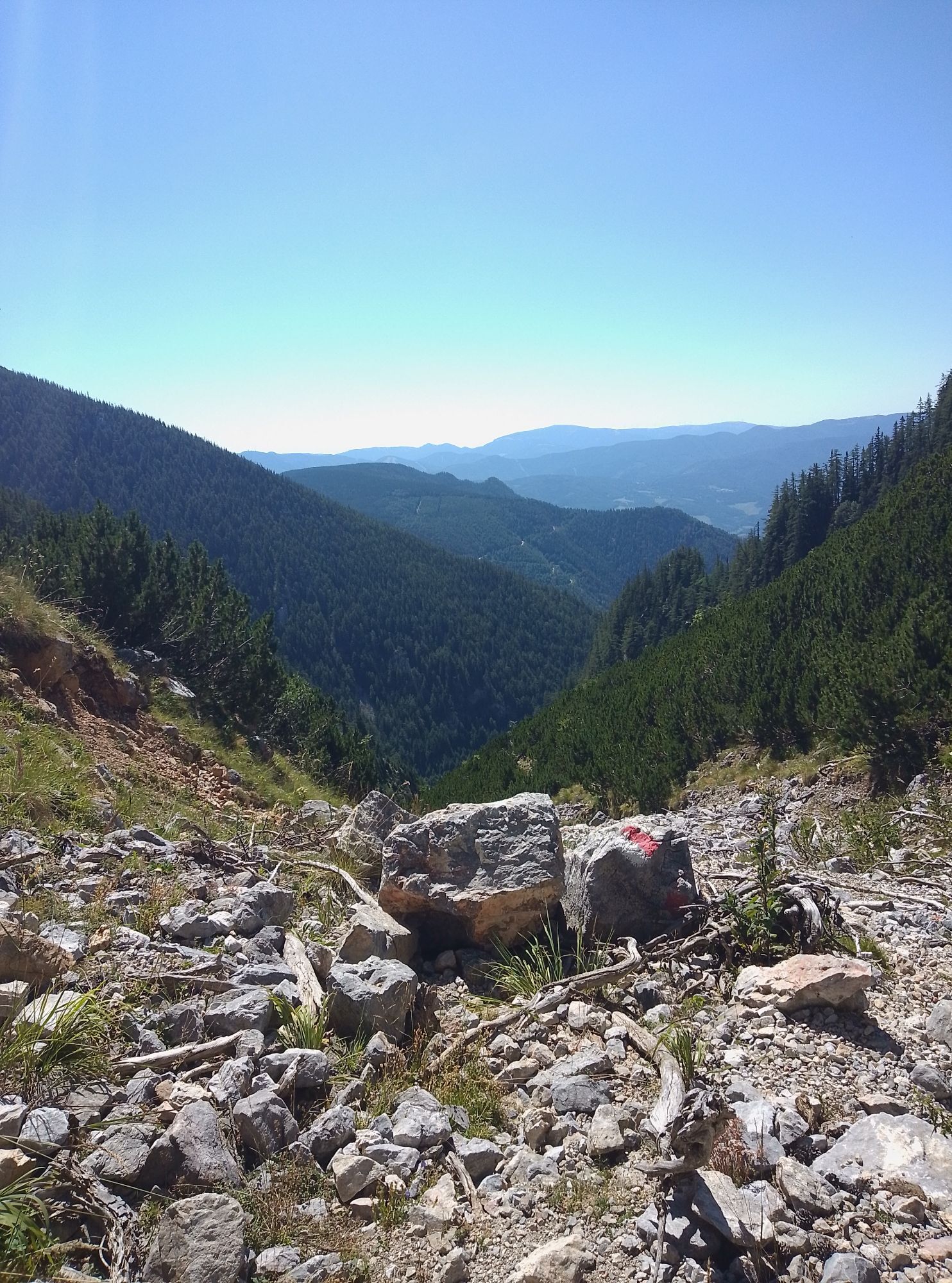
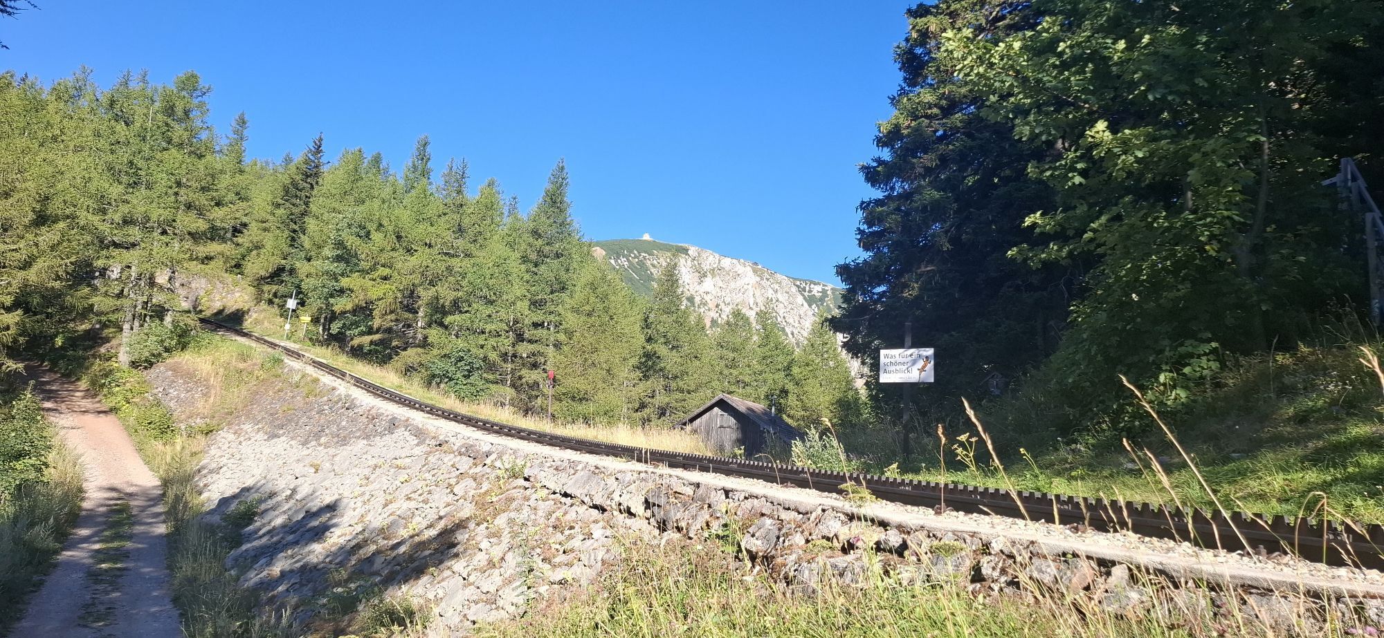
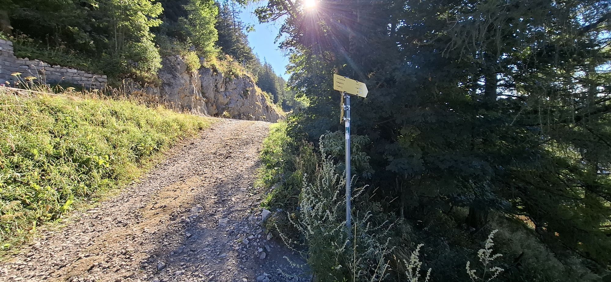
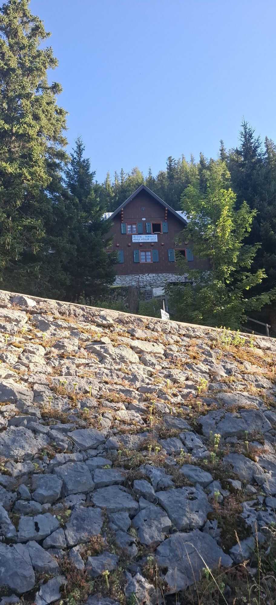
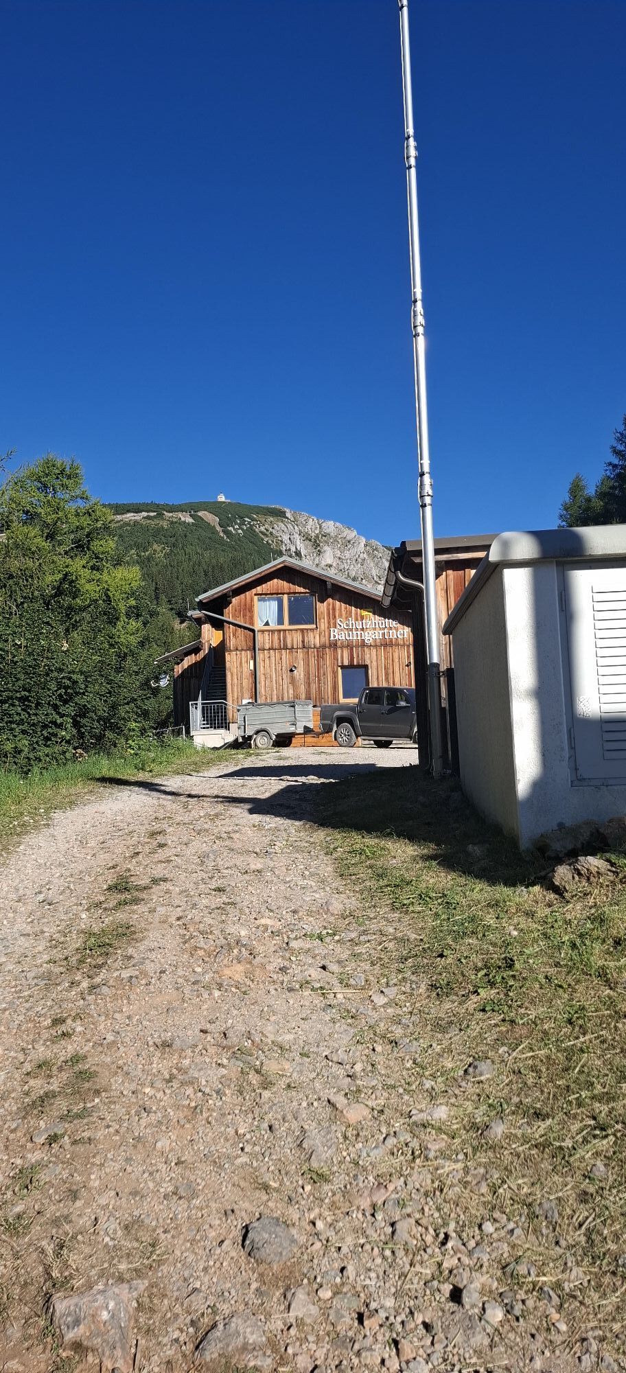
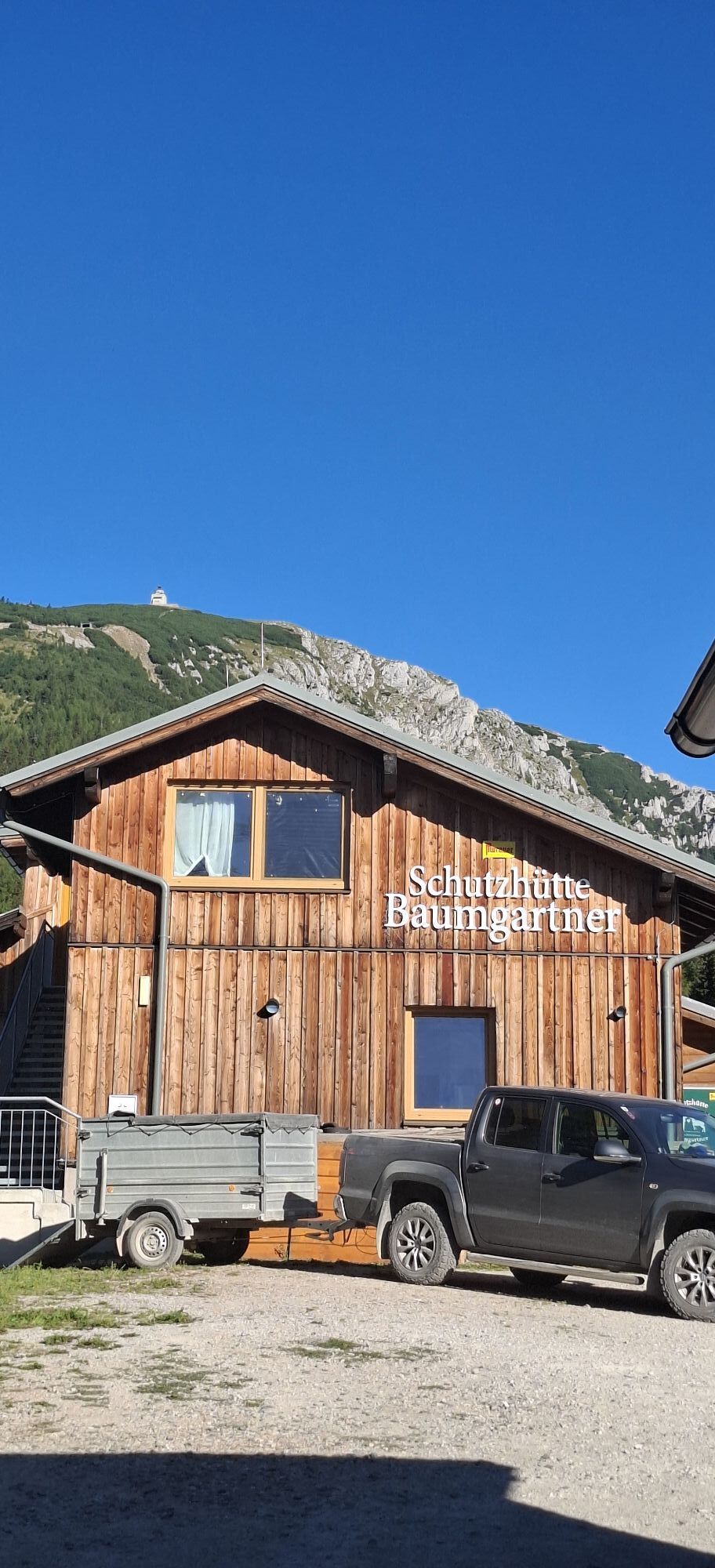
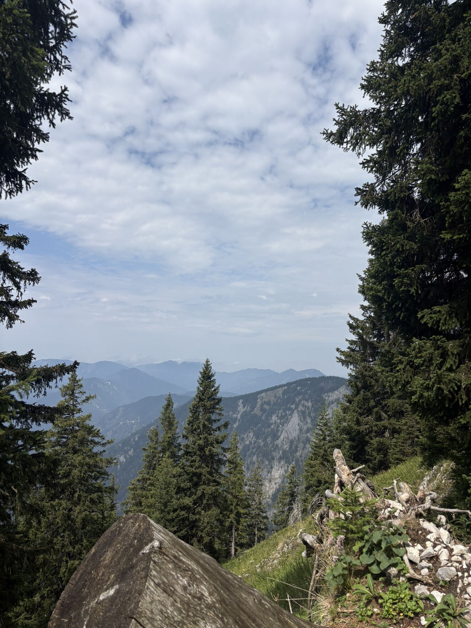
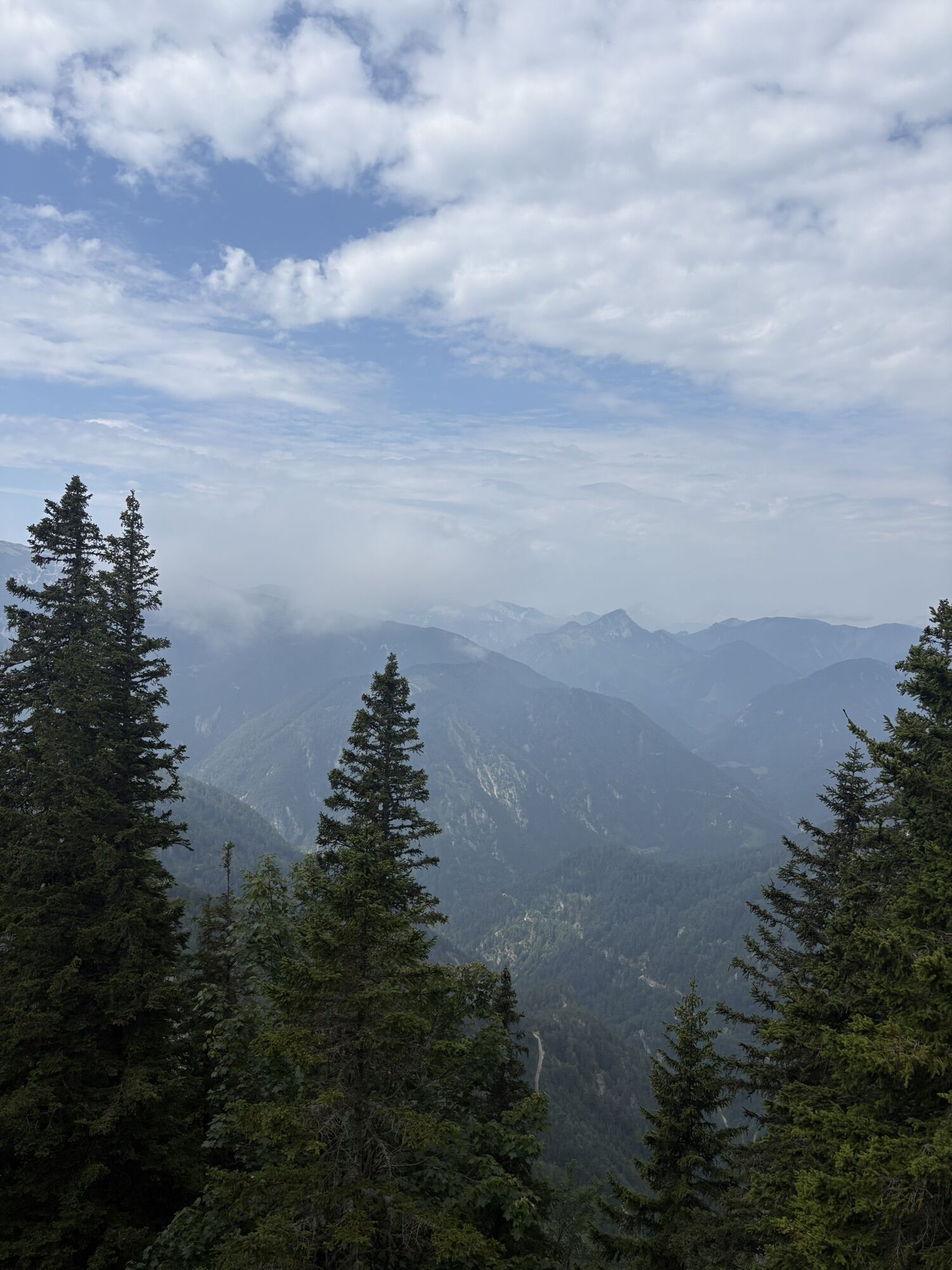
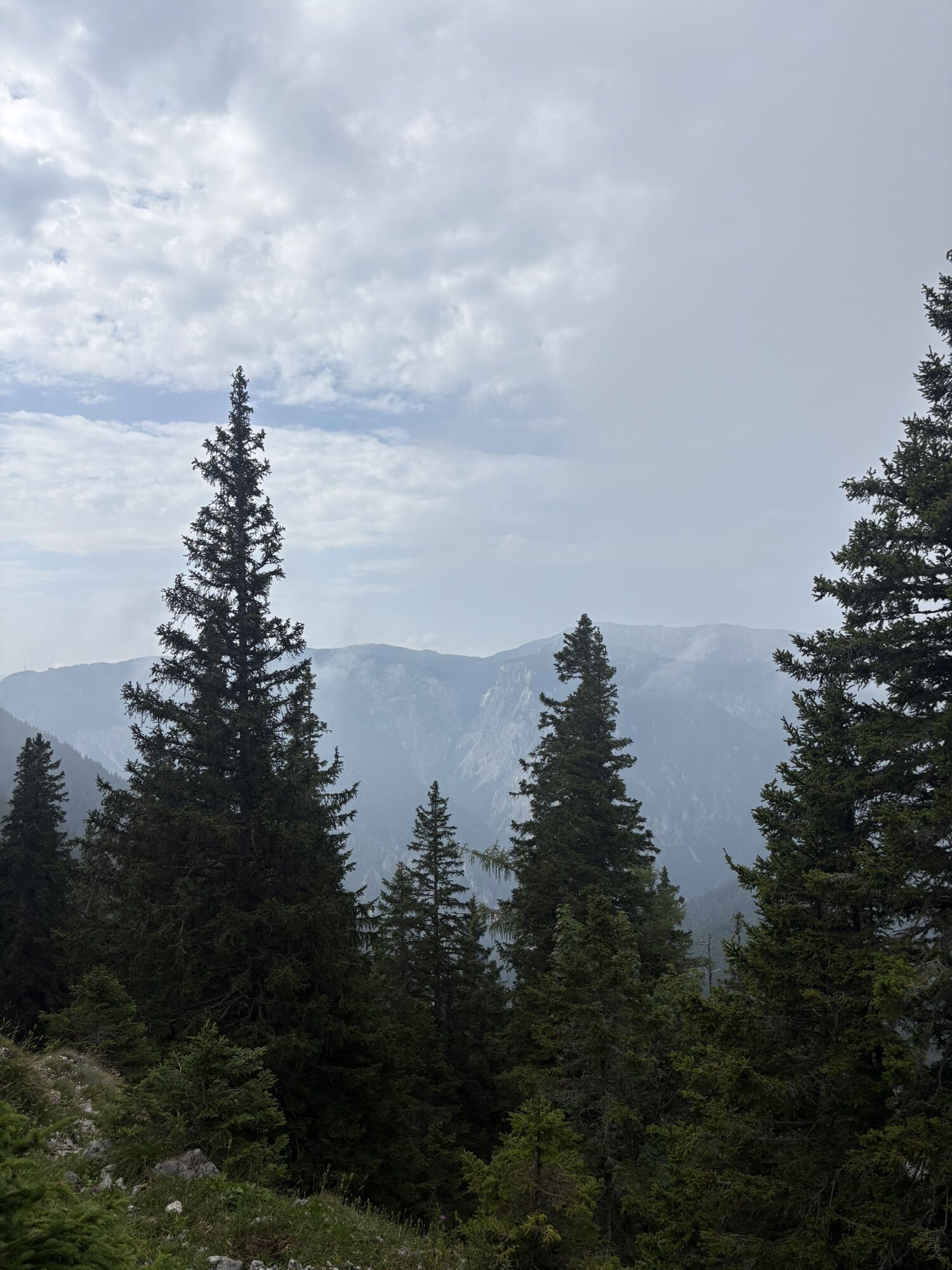
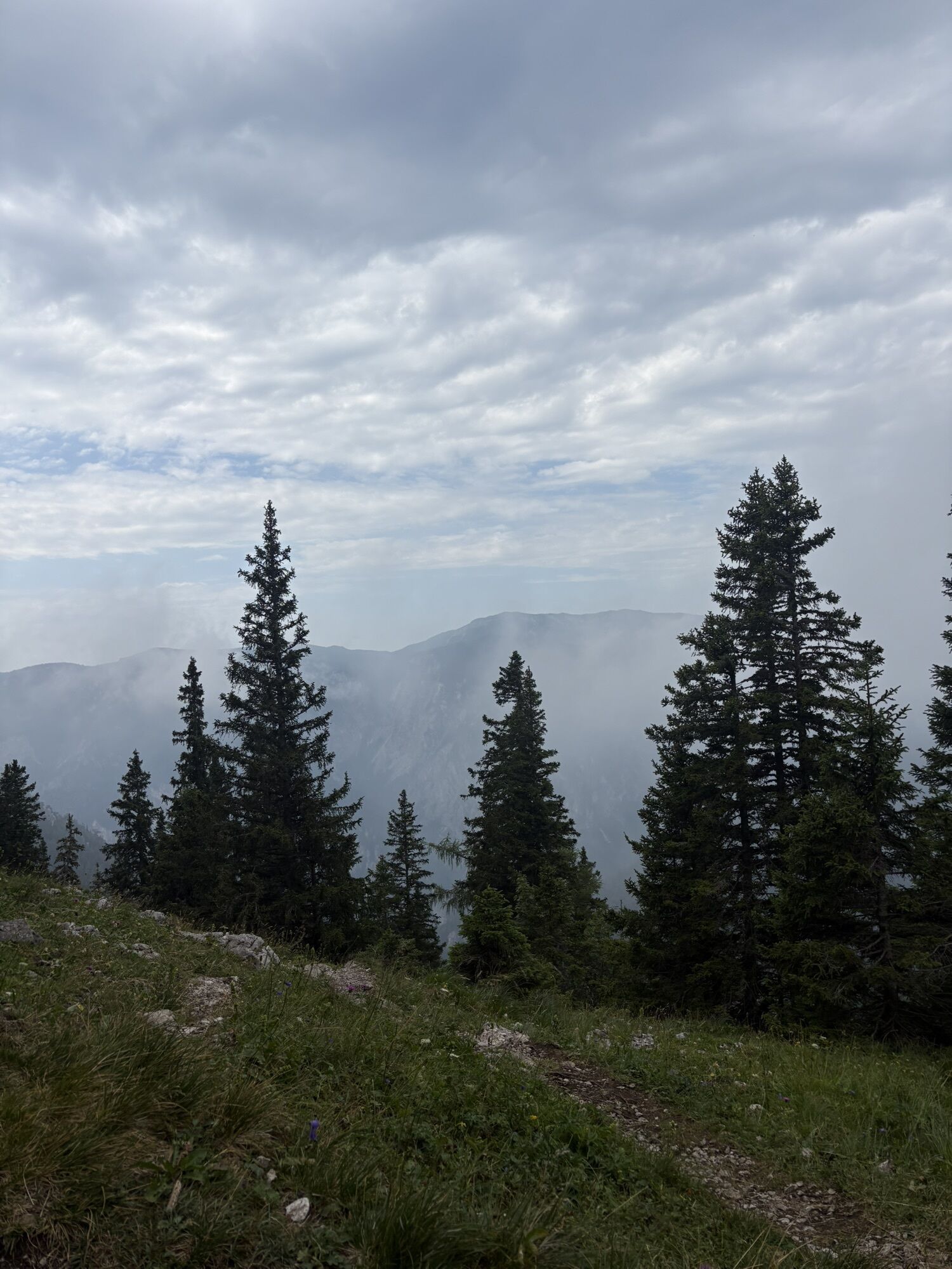
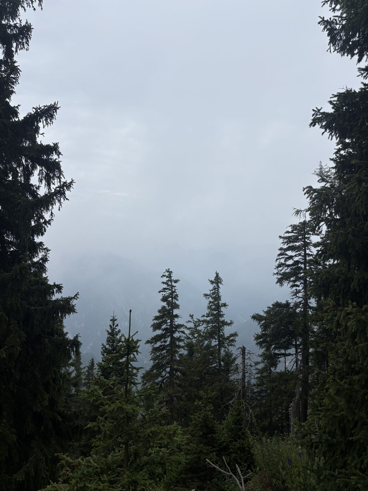
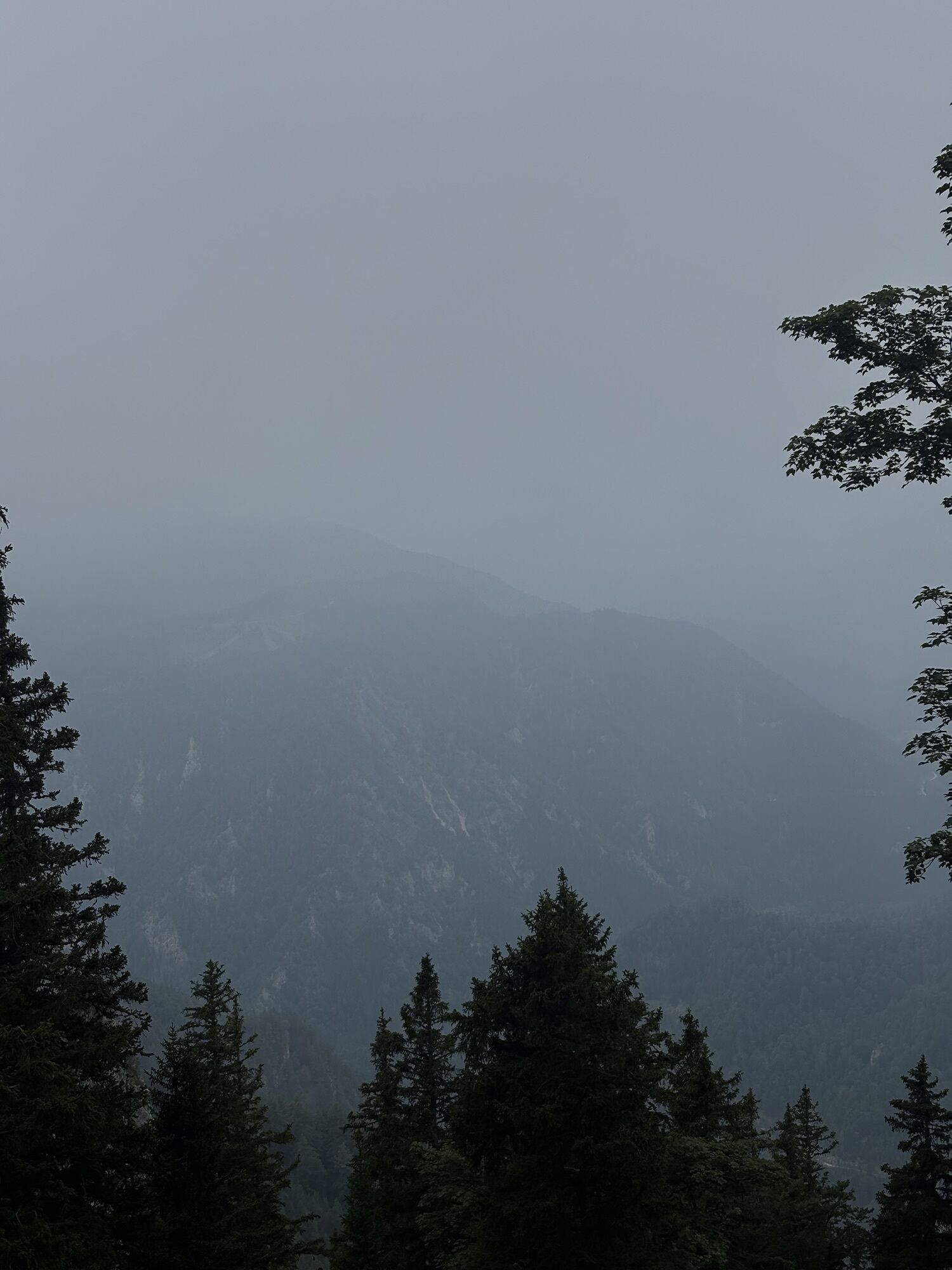
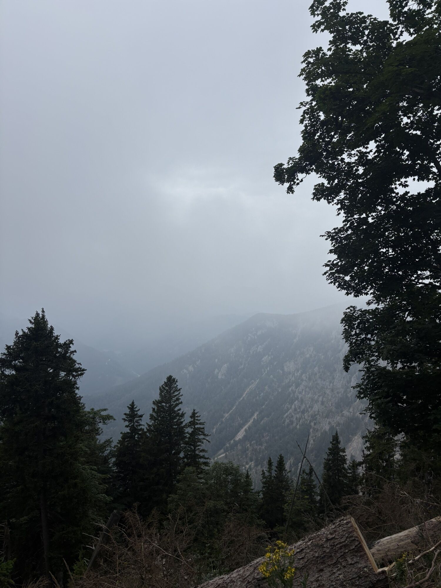
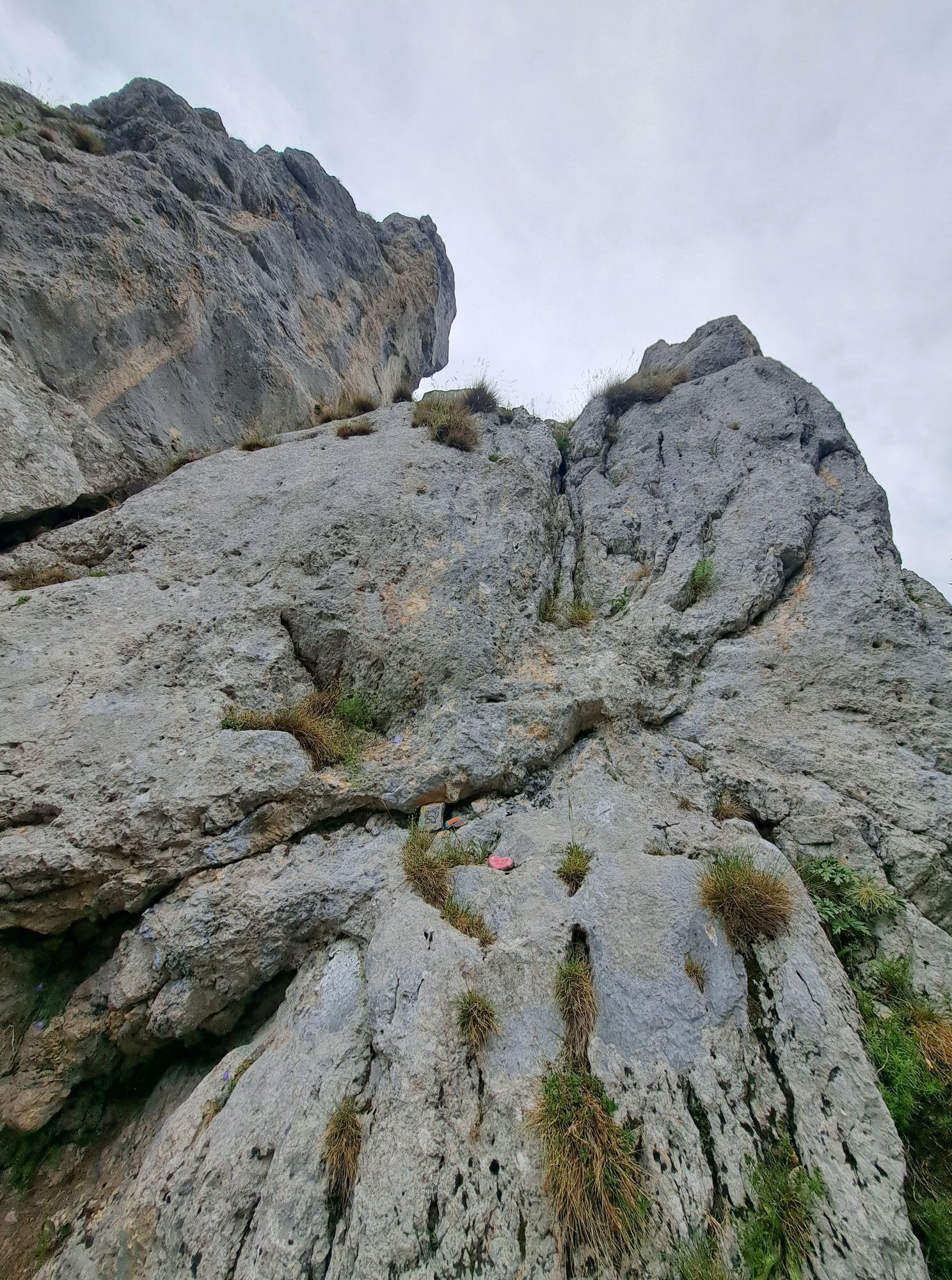
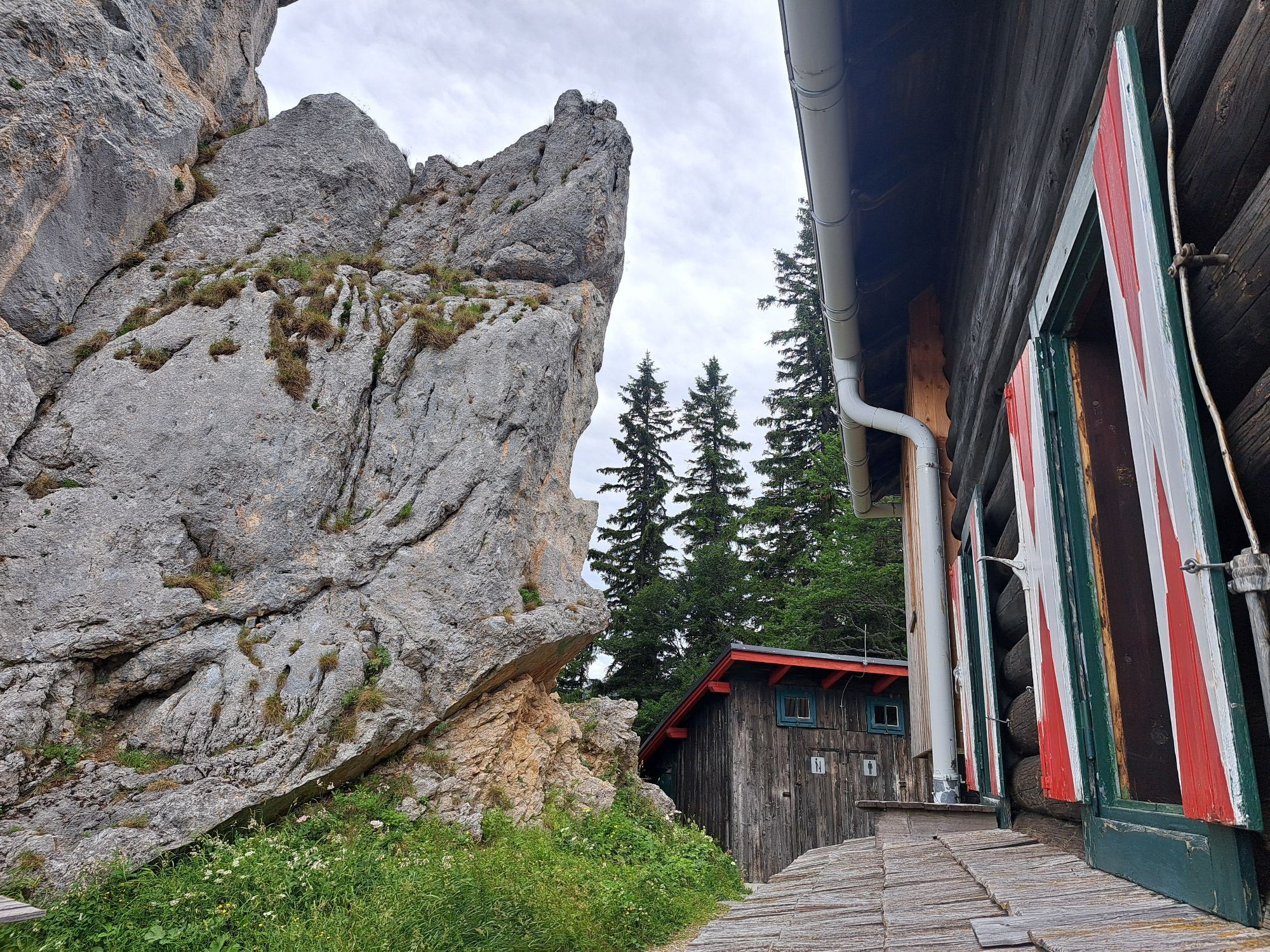
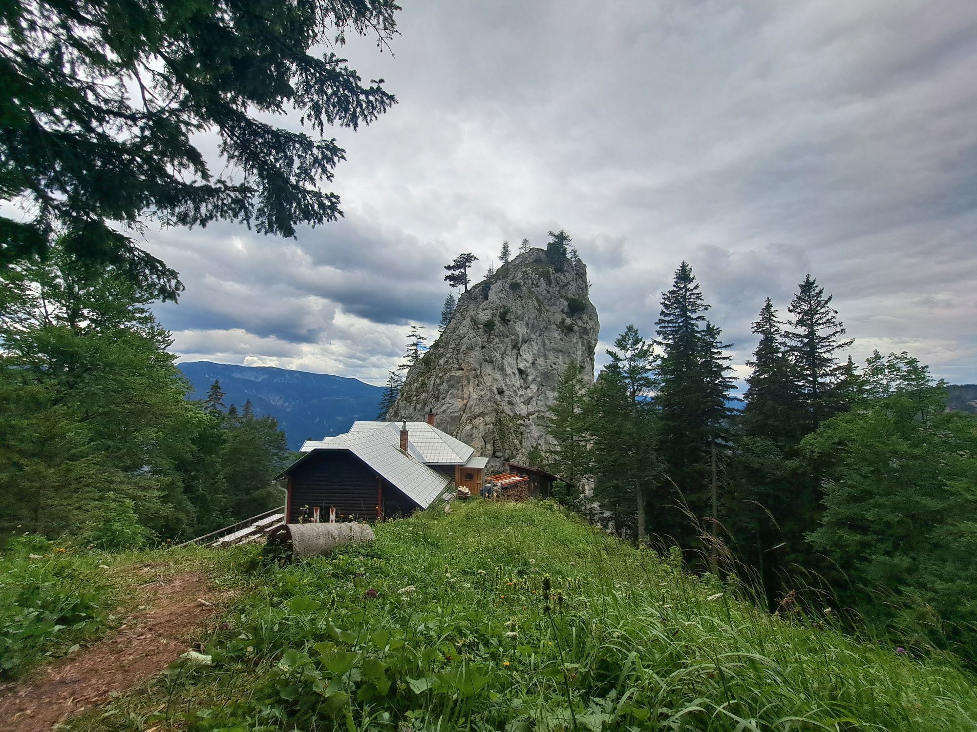
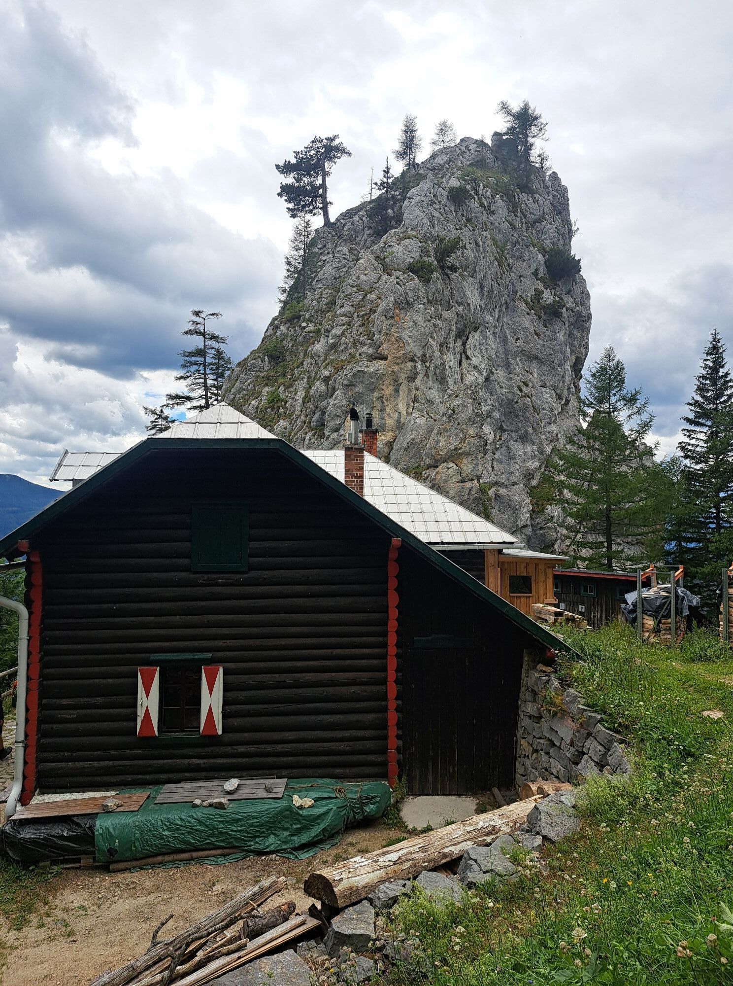
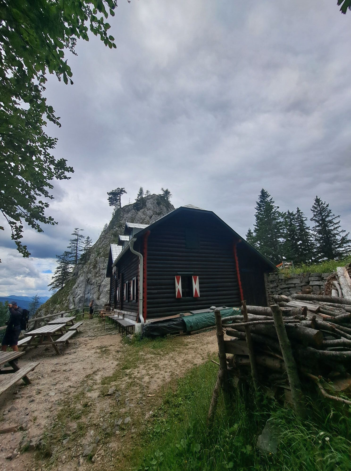
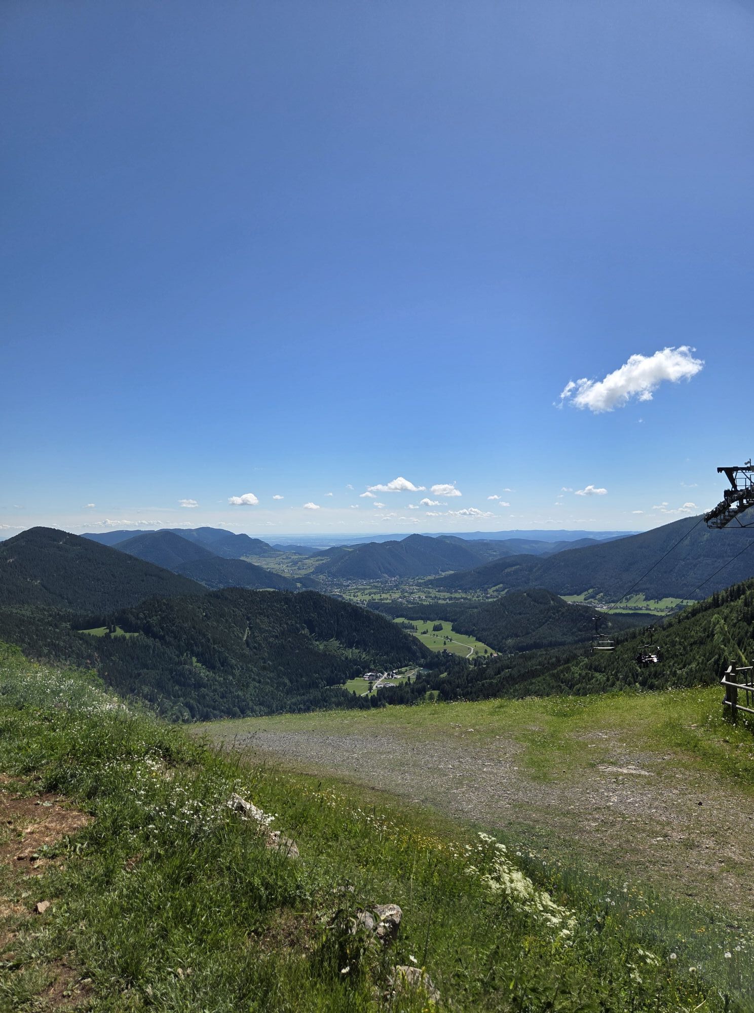
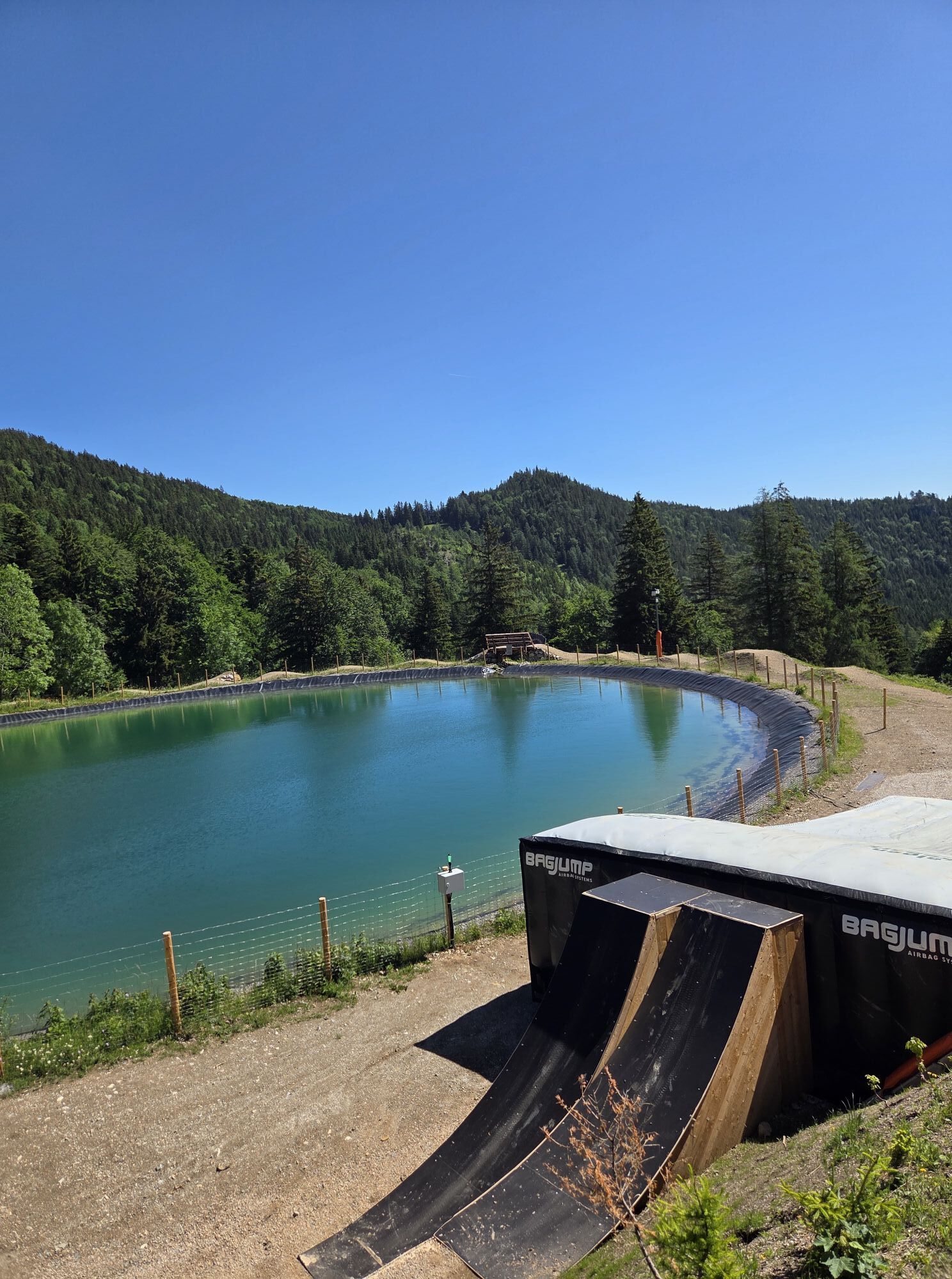
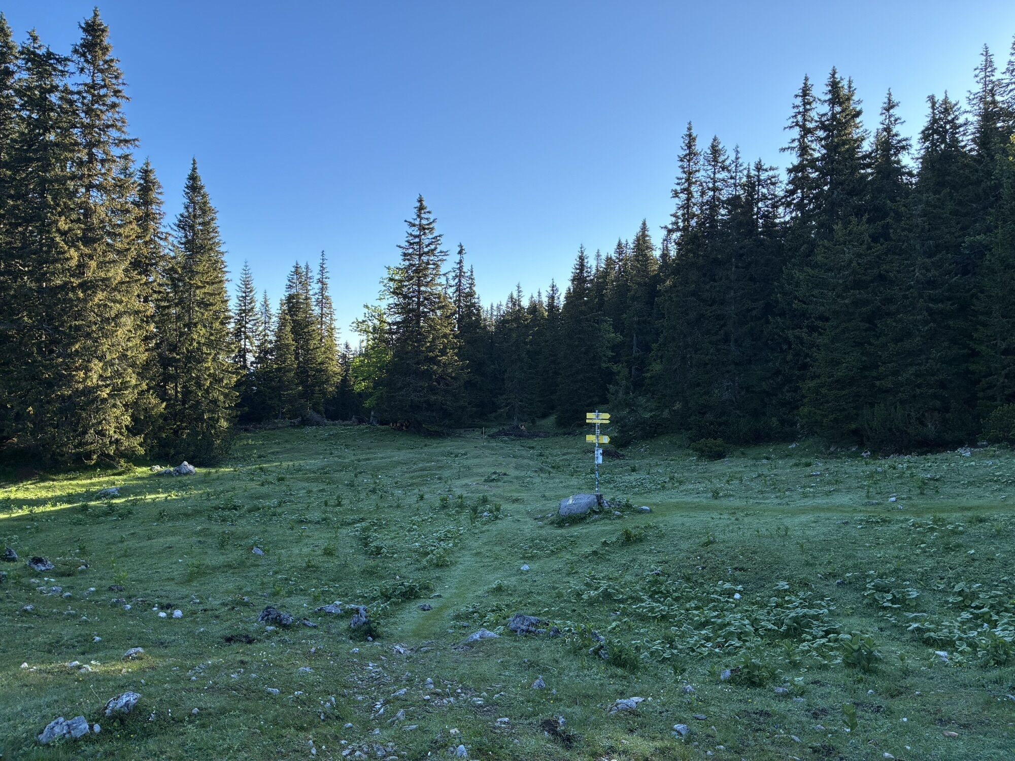
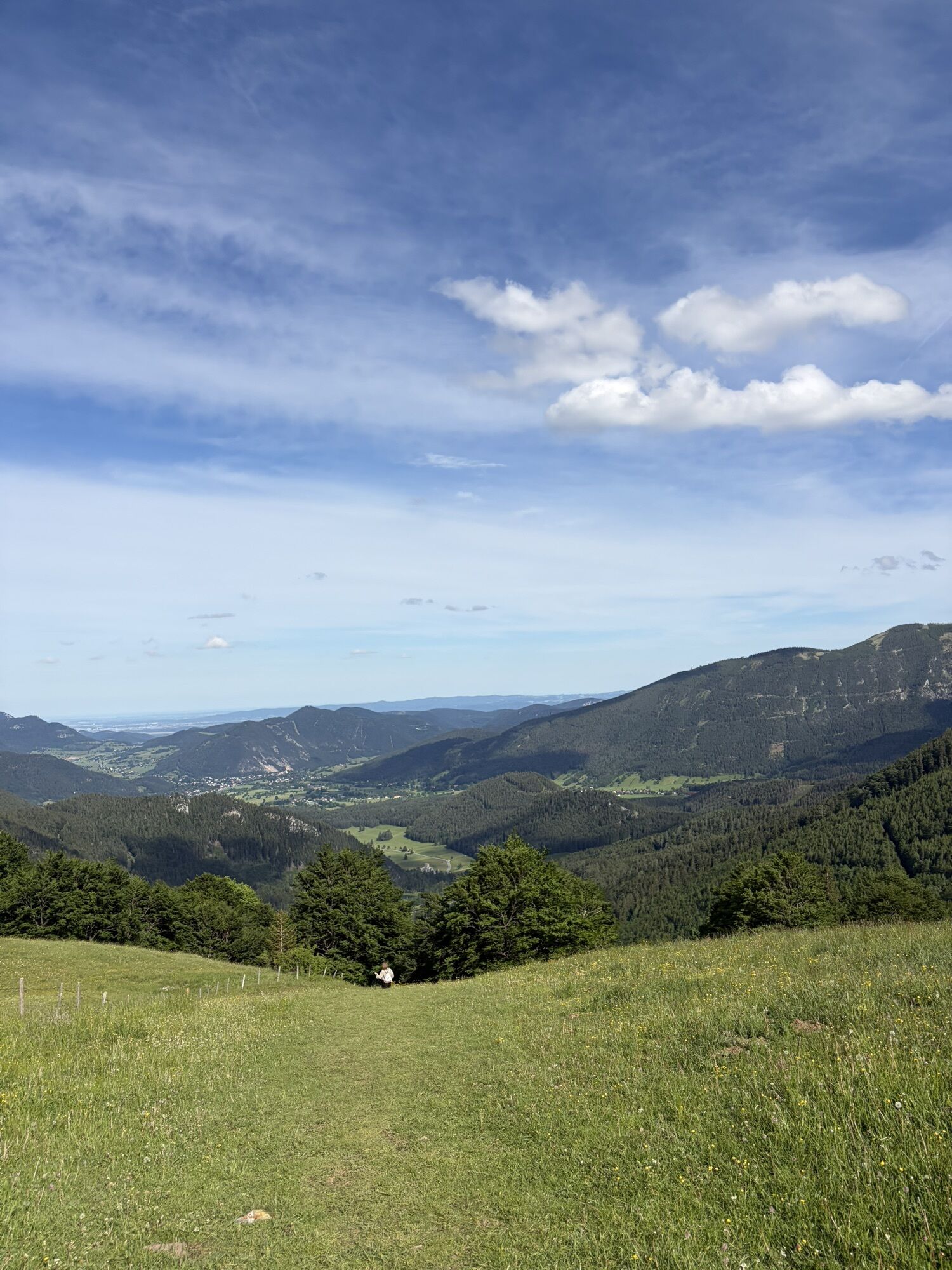
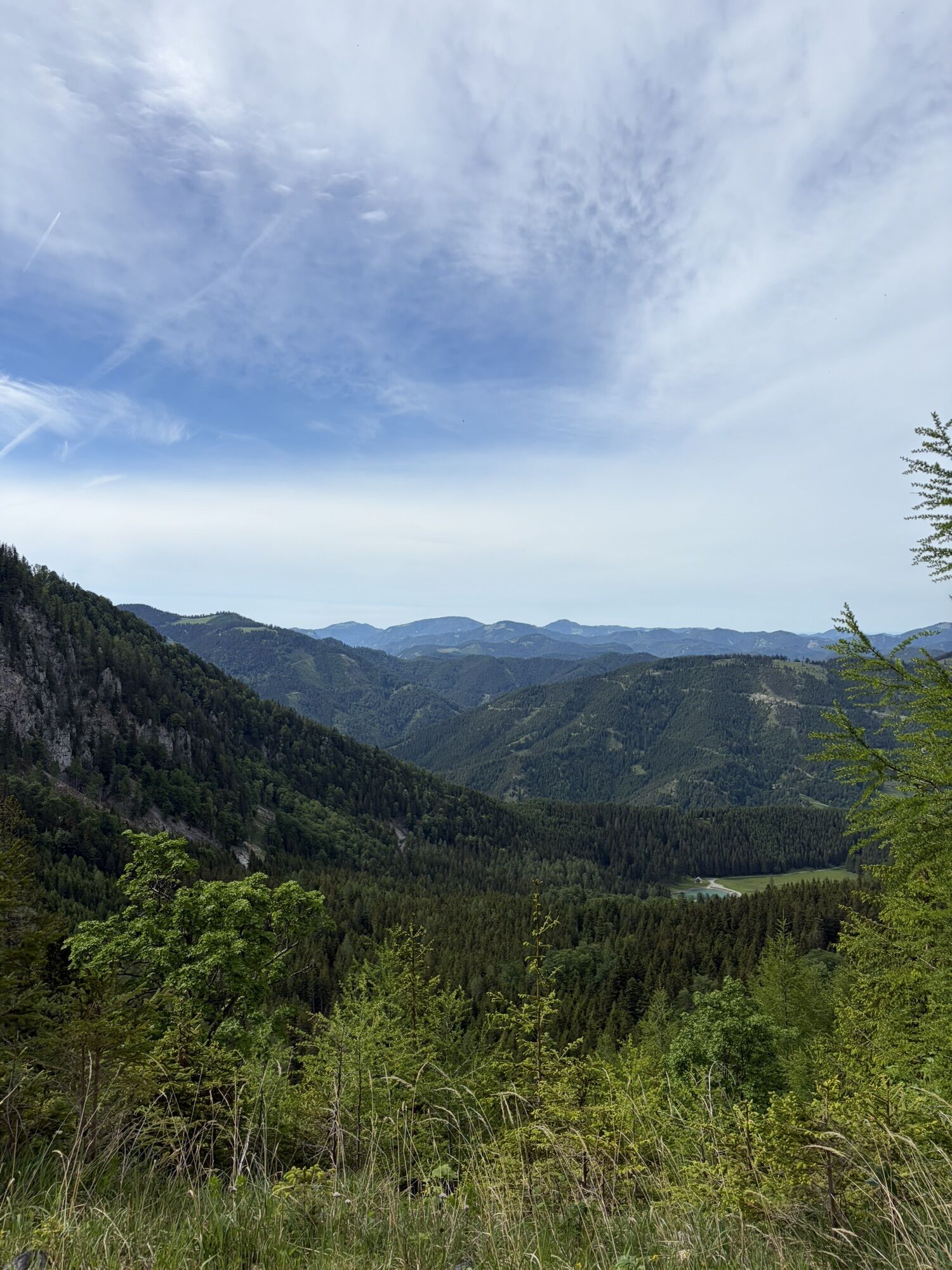
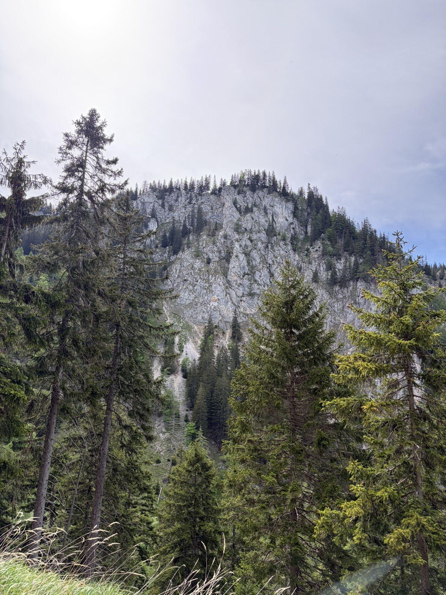
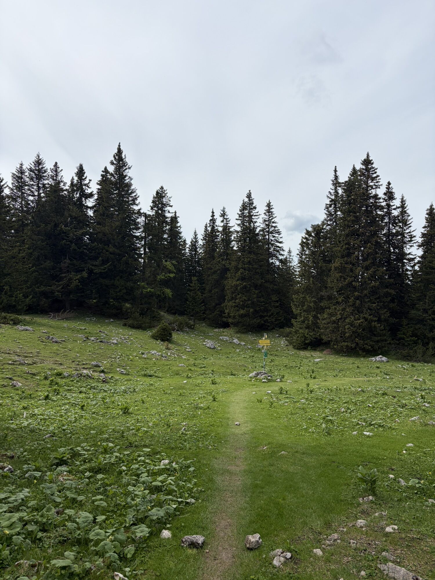
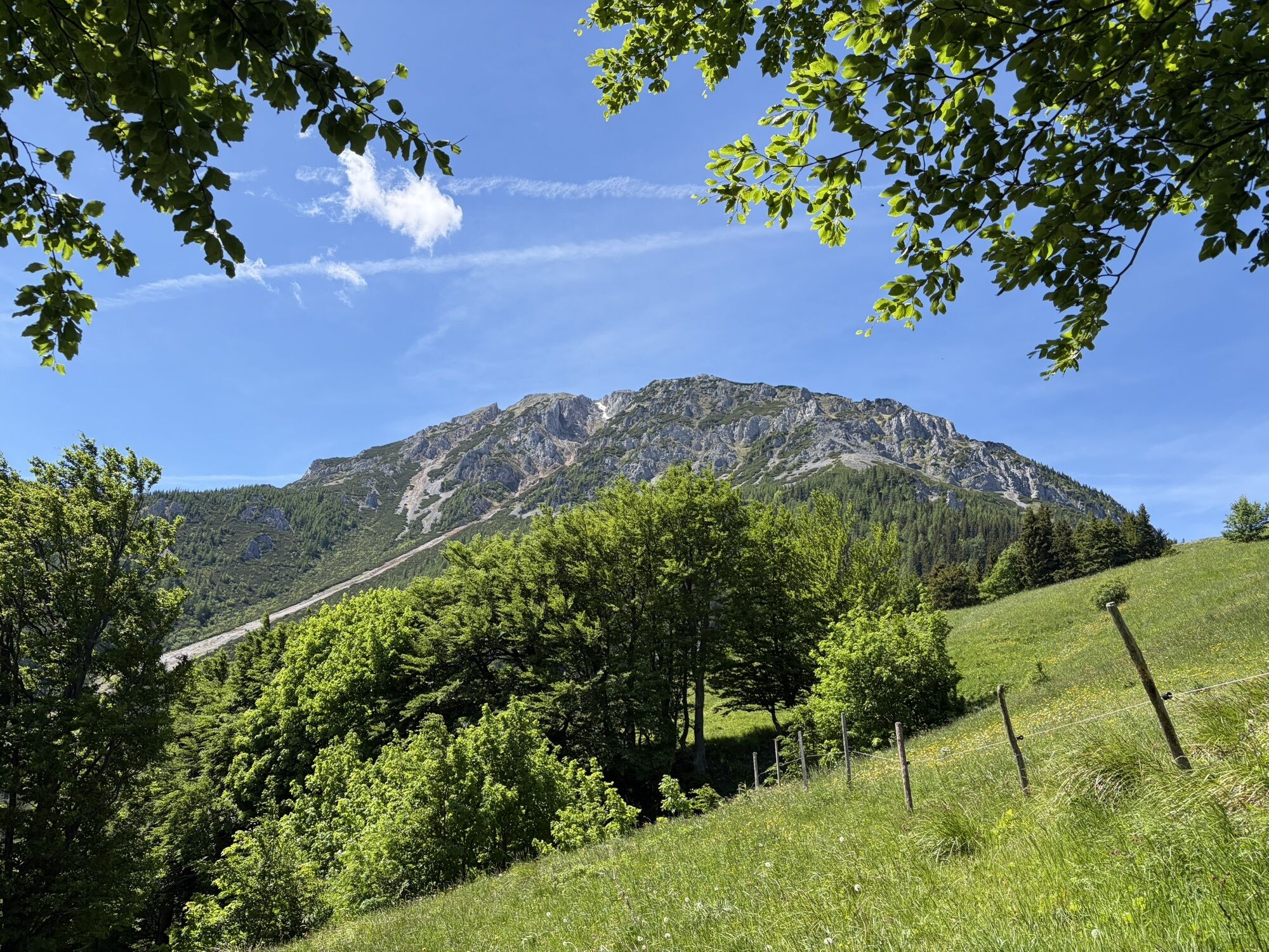
The tour starts in Puchberg, in the district of Losenheim. Parking available at the valley station of the Schneeberg chairlift. Ascent via the yellow markings to the Fadensattel, past the Edelweißhut along...
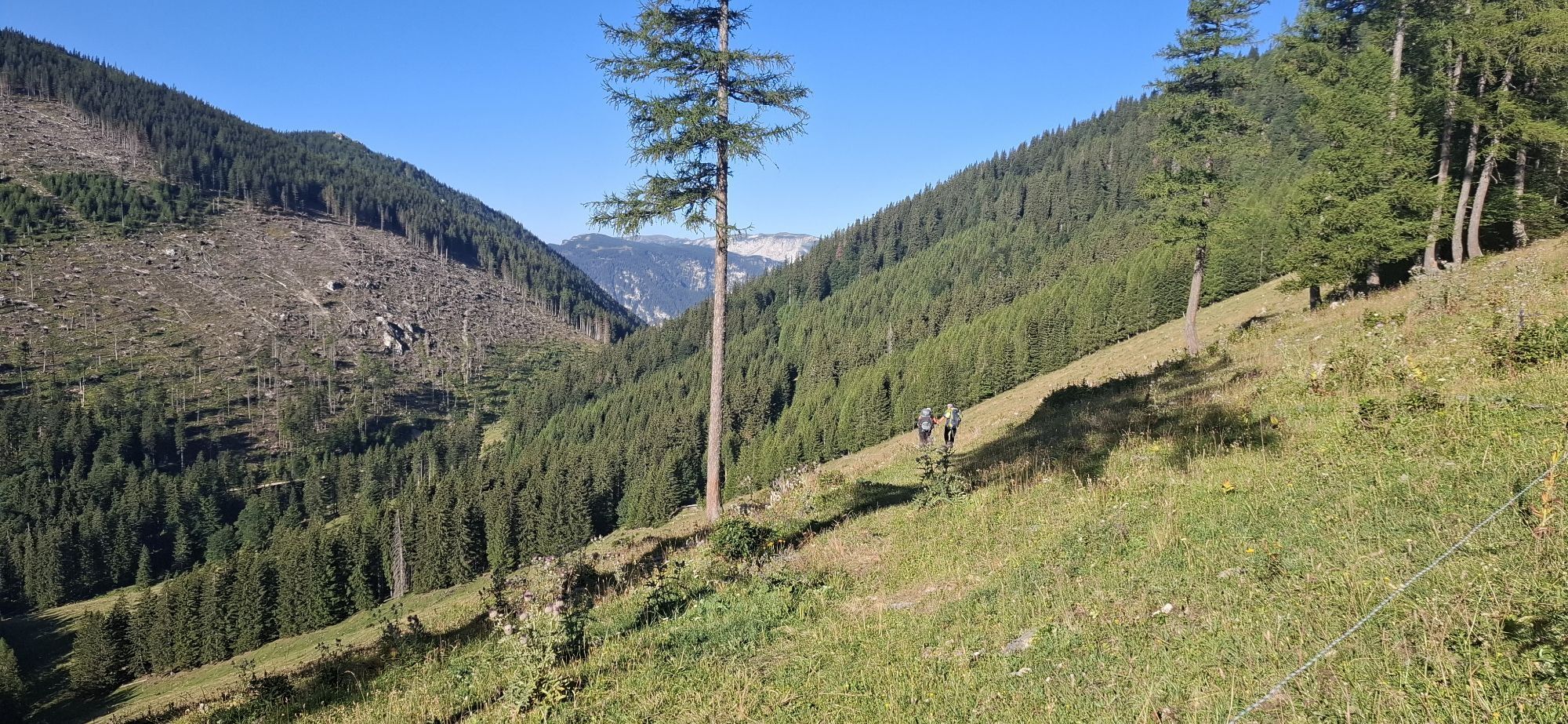
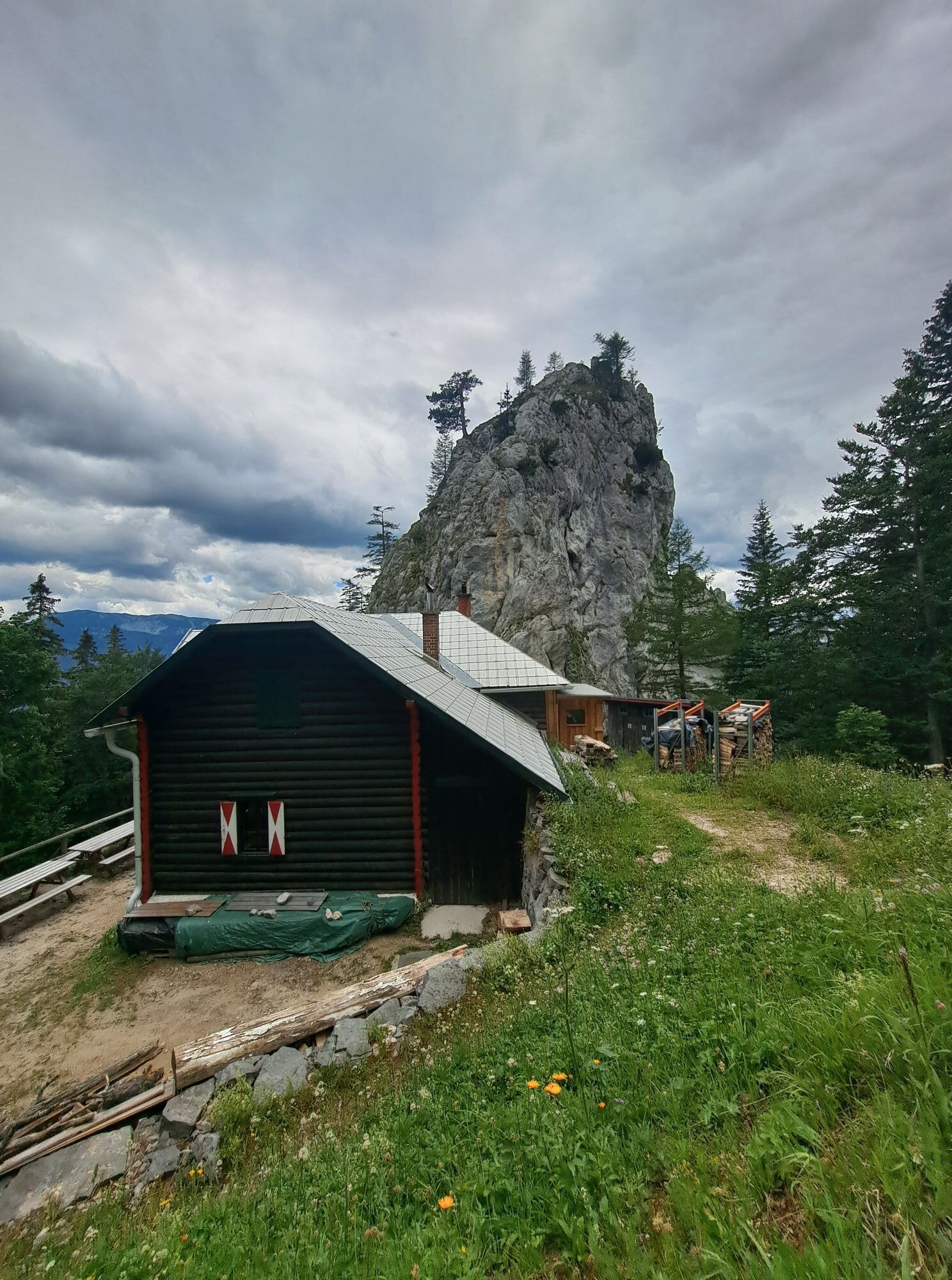
The tour starts in Puchberg, in the district of Losenheim. Parking available at the valley station of the Schneeberg chairlift. Ascent via the yellow markings to the Fadensattel, past the Edelweißhut along the Fadenweg to the Fleischer memorial stone and the Kientaler Hut. Then follow the red markings in a south-easterly direction to the Baumgartner stop. Then follow the green markings along the Zahnrabahn hiking trail to Puchberg.
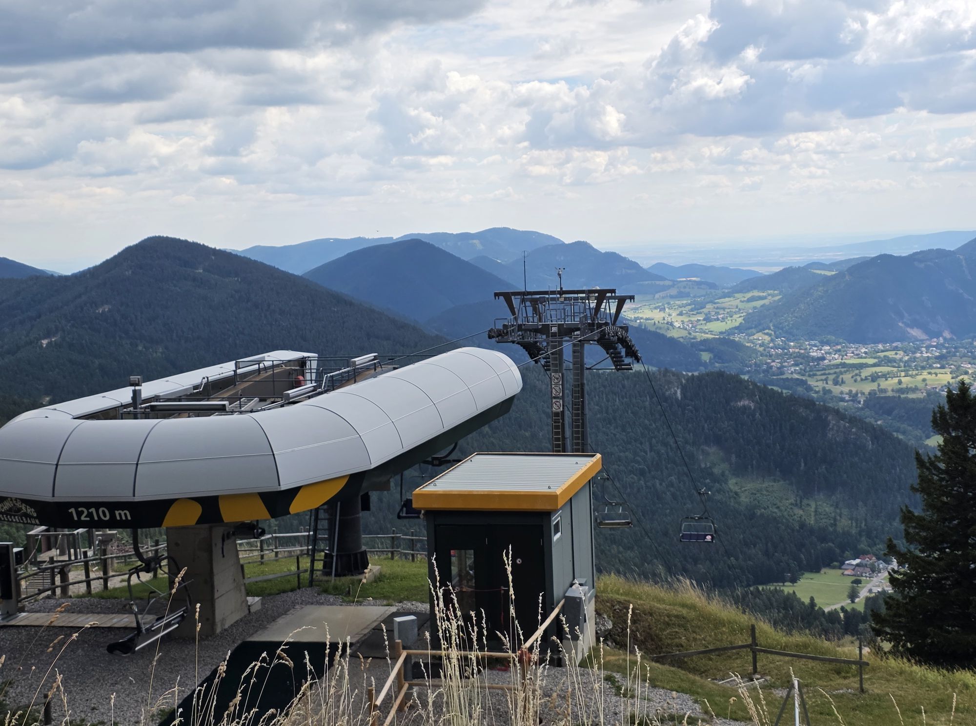
If you take the Schneeberg chairlift in Losenheim, you save about 45 minutes on the ascent to the Fadensattel. From the Baumgartner stop, the Schneebergbahn takes you to Puchberg station in approx. 30 minutes. You save a total of approx. 1.5 hours walking time.
From Puchberg station, you can then take the 350 bus to Losenheim to pick up your parked car.


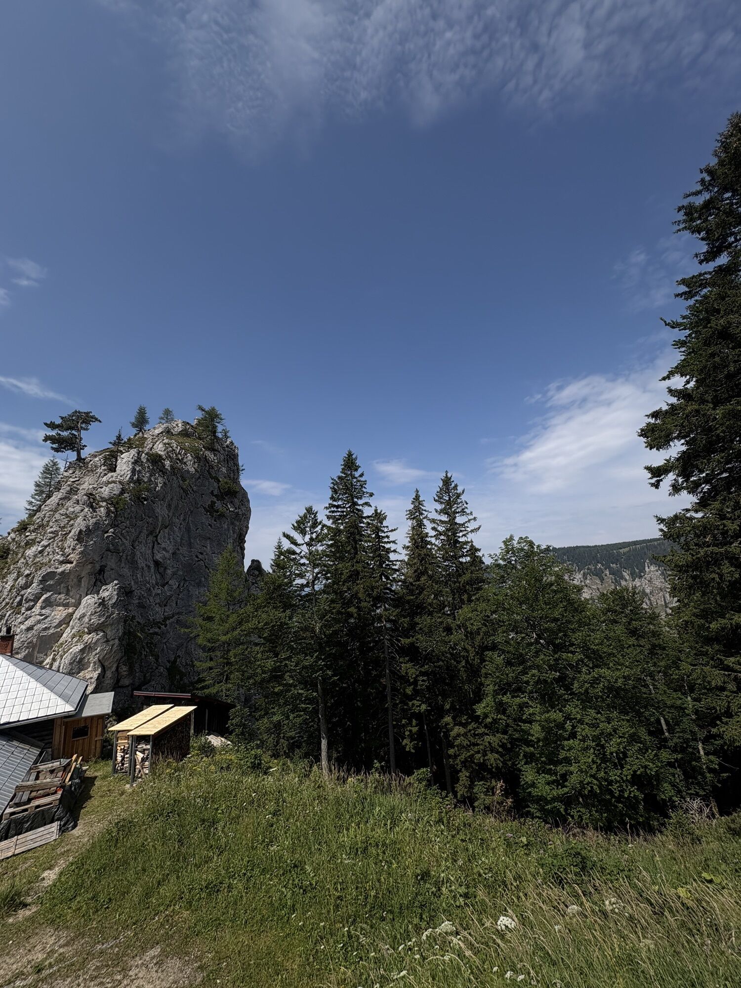
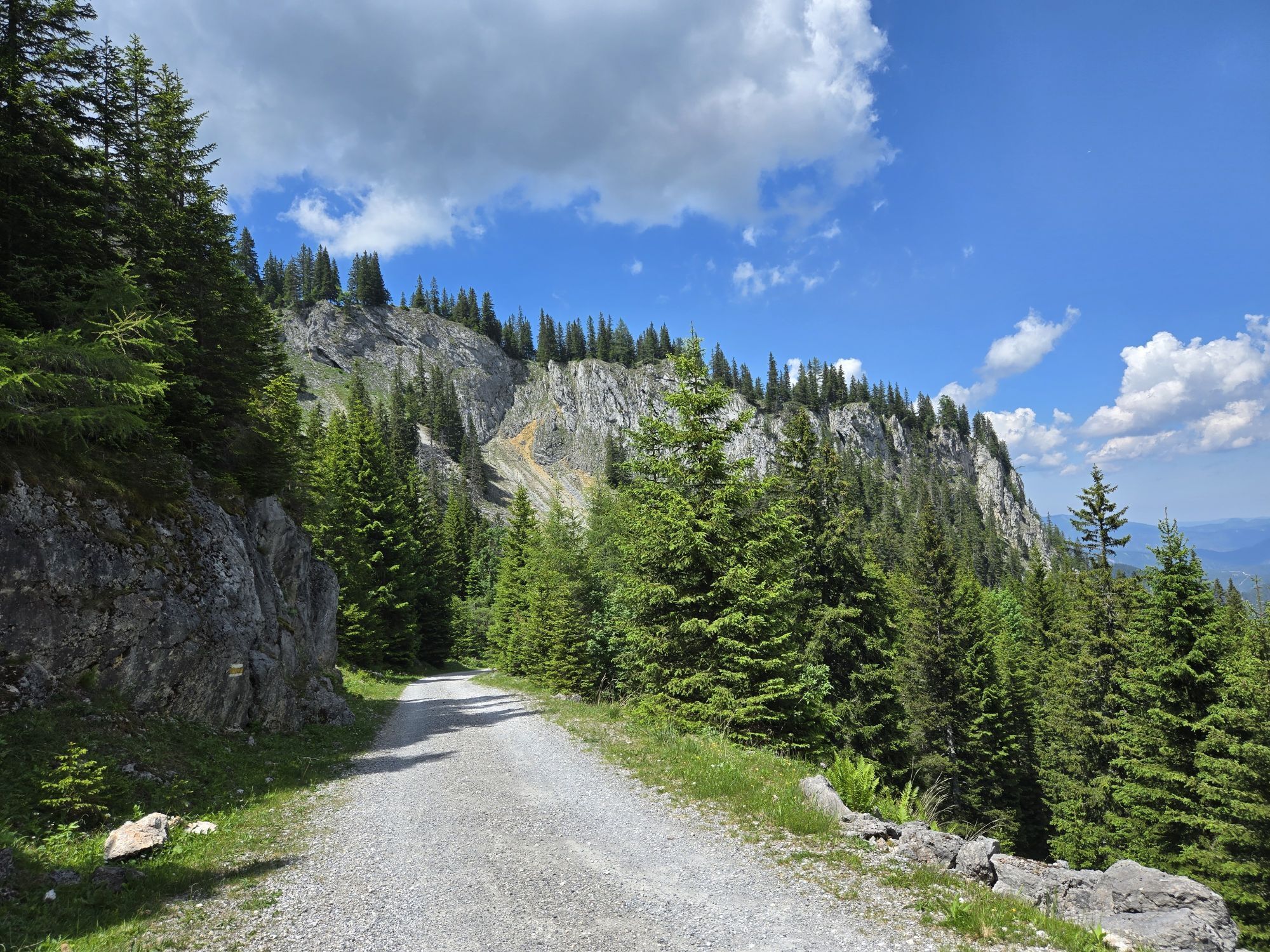
The hike begins in Puchberg, Losenheim; you can park at the chairlift parking lot. Follow the yellow trail markers uphill to the Fadensattel, past the Edelweißhütte along the Fadenweg to the Fleischer memorial stone and on to the Kientaler hut. Then follow the red trail markers southeast to the Baumgartner stop. From there, follow the green trail markers along the Zahnraba Hiking Trail back to Puchberg.
If you take the Schneeberg chairlift in Losenheim, you’ll save about 45 minutes of hiking up to the Fadensattel. From the Baumgartner stop, the Schneebergbahn takes about 30 minutes to reach Puchberg Bahnhof. This saves you a total of about 1.5 hours of walking time.
From Puchberg Station, you can take bus line 350 to Losenheim to pick up your parked car.
Always bring appropriate maps with you. Wear sturdy shoes suitable for the hike (hiking boots or trekking shoes), and bring sun and rain protection, as well as water and a light snack. Bring your cell phone and save the mountain rescue emergency number: 140
We want your hikes in the Vienna Alps to be an enjoyable and safe experience in every way. Therefore, please note the following:
Preparation
When choosing a route, make sure it matches your experience and fitness level. Check the weather forecast in advance. The weather in the mountains can change surprisingly quickly. Therefore, always set out with the appropriate gear (e.g., rain gear).
Check to see if the huts and snack bars you plan to visit along the way are open. Let someone know your route and your planned return time before you set out.
Take the A2 to the Wr. Neustadt West exit, then follow the B26 to Puchberg.
Take the train to Wiener Neustadt, then take the regional train to Puchberg am Schneeberg.
Take the bus from Neunkirchen, Ternitz (Line 350), or Pernitz (Line 330) to the Puchberg train station.
On-site parking guidance system
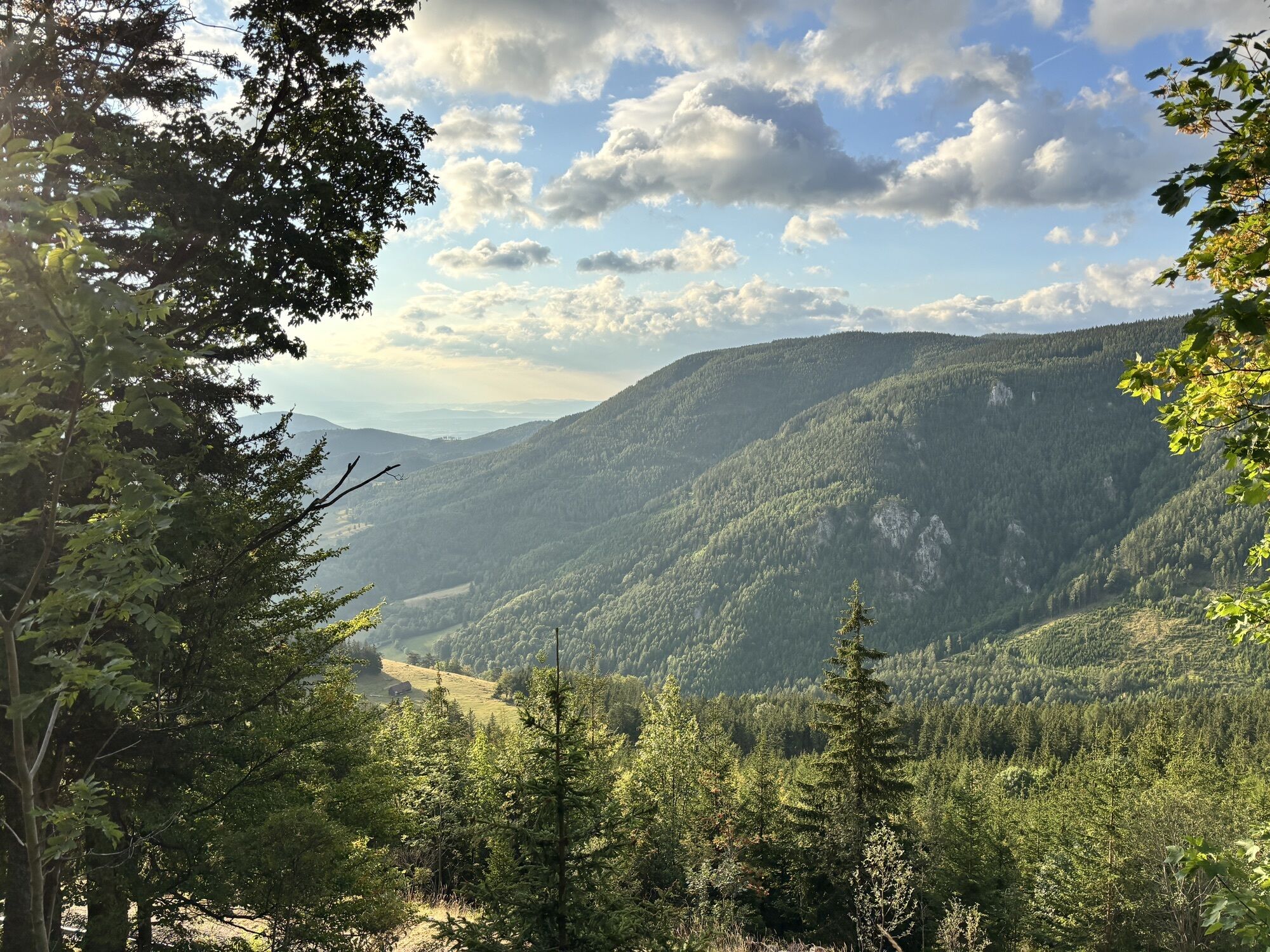
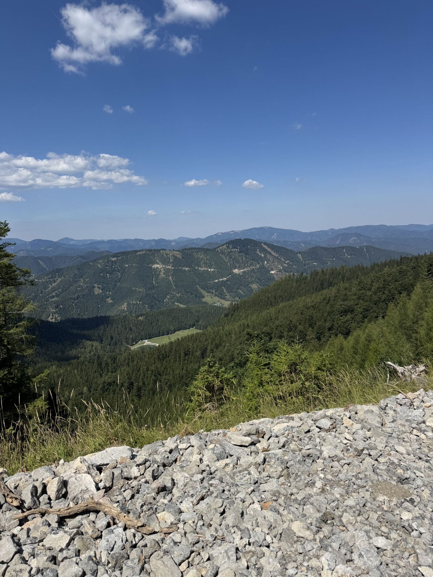
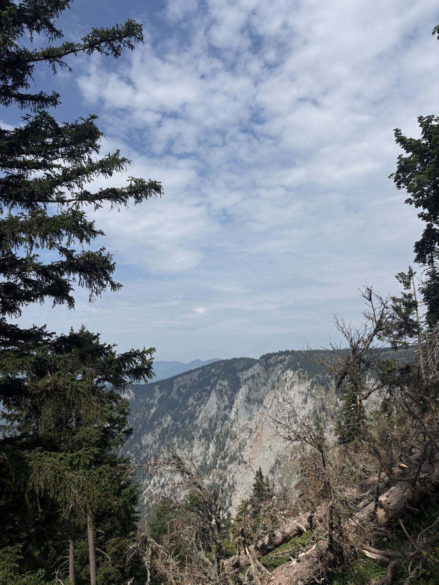
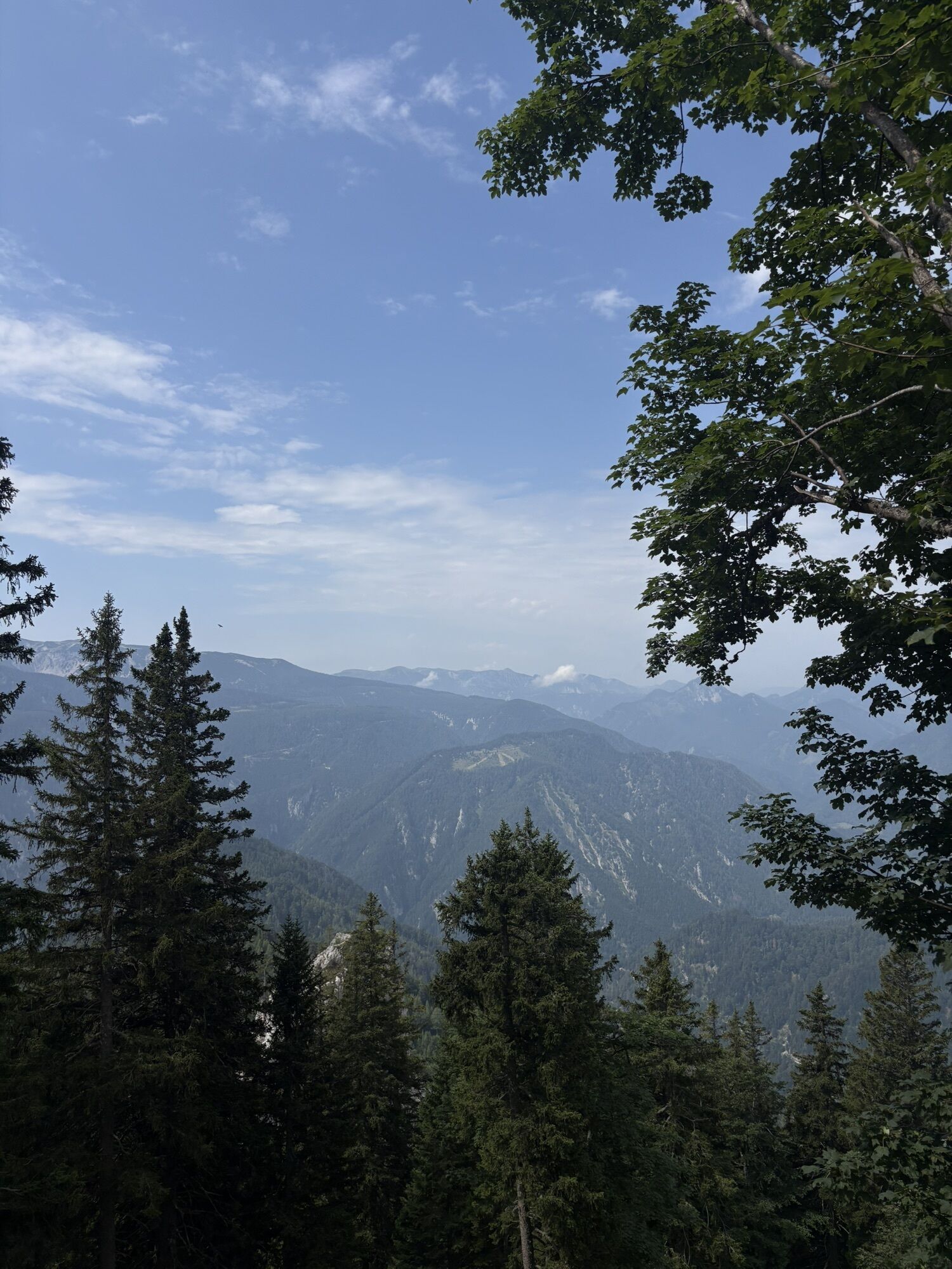
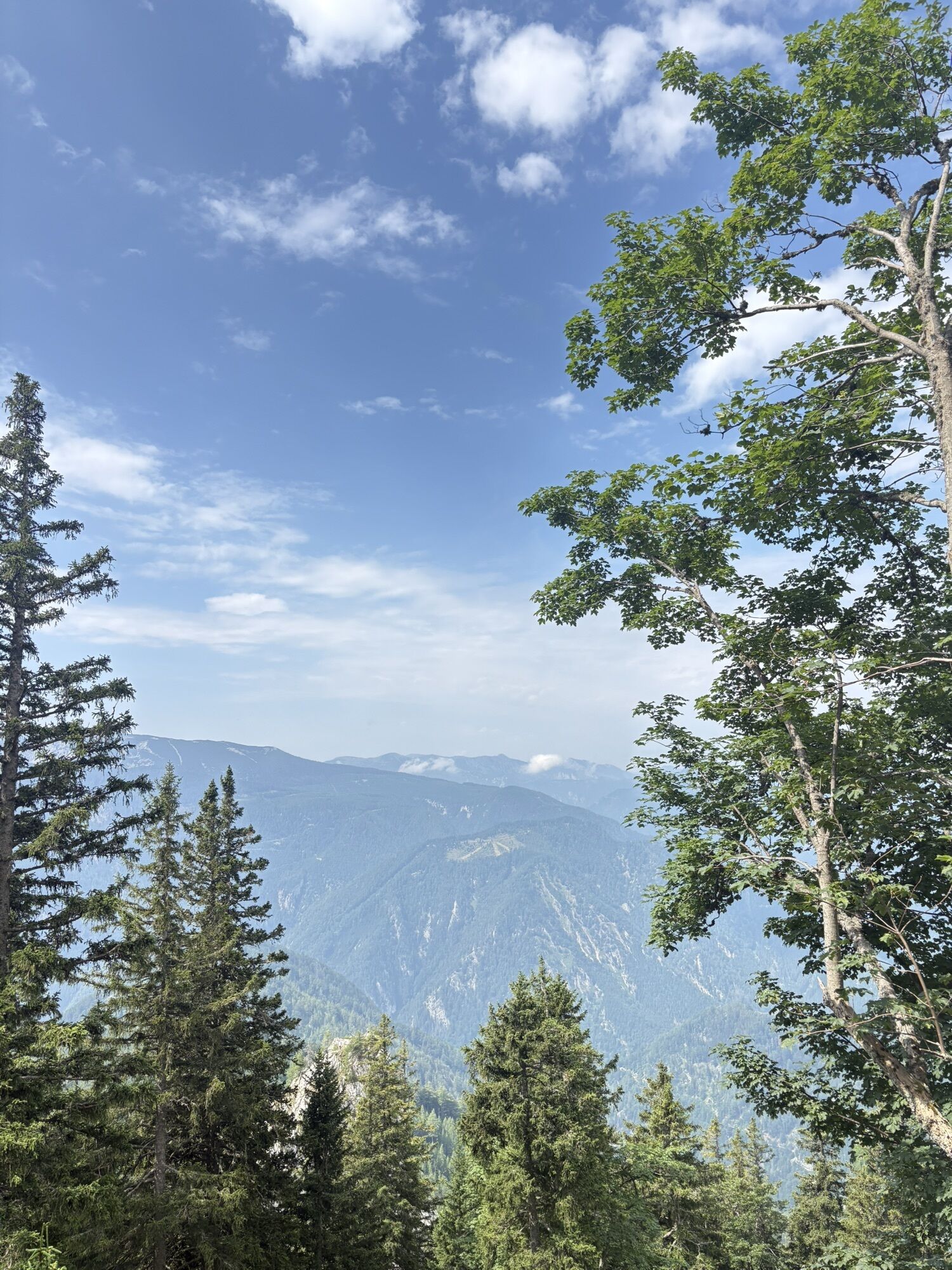
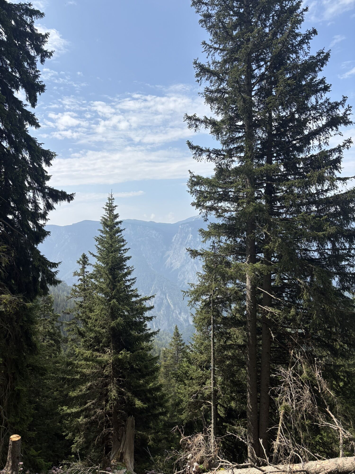
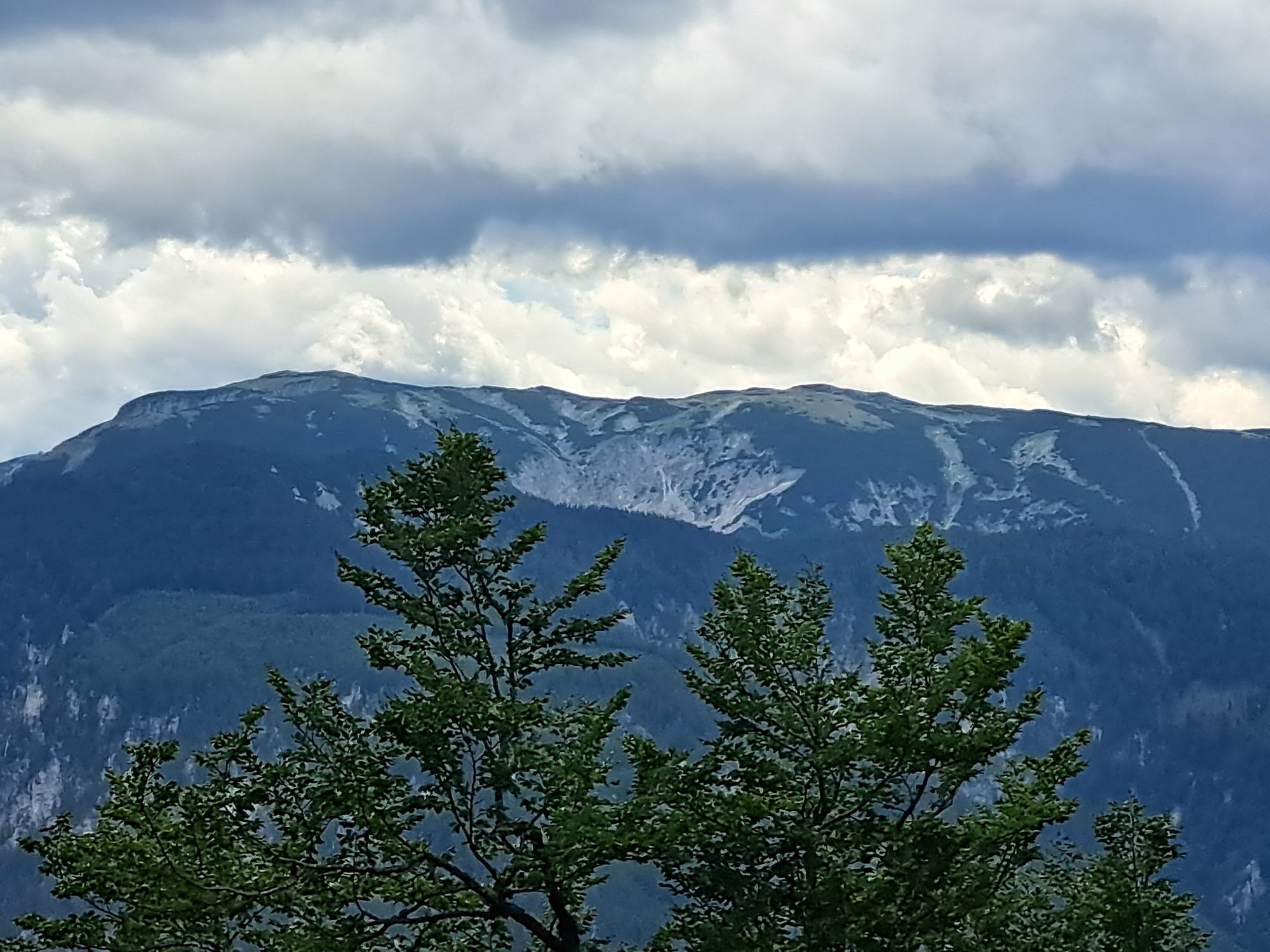
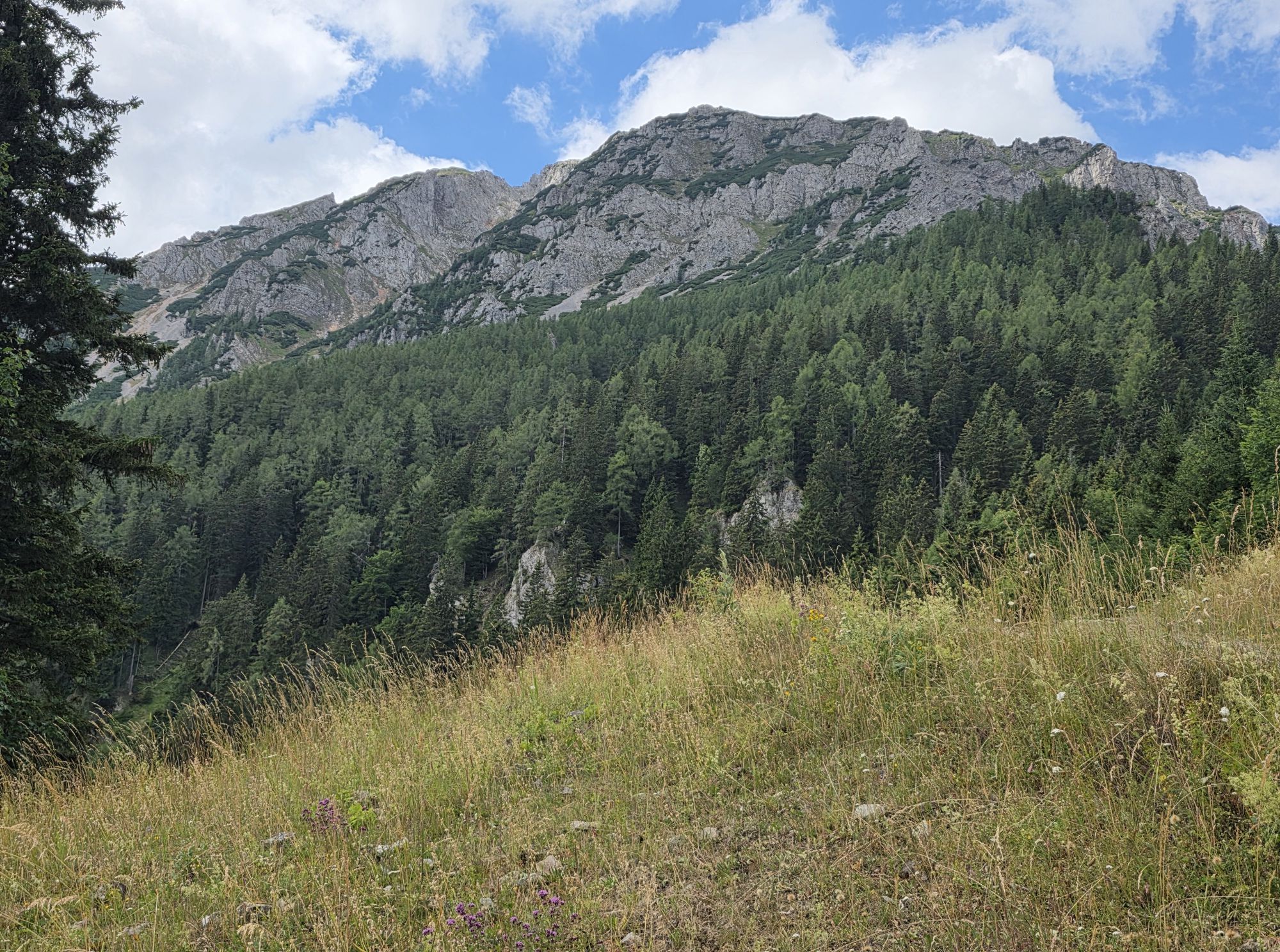
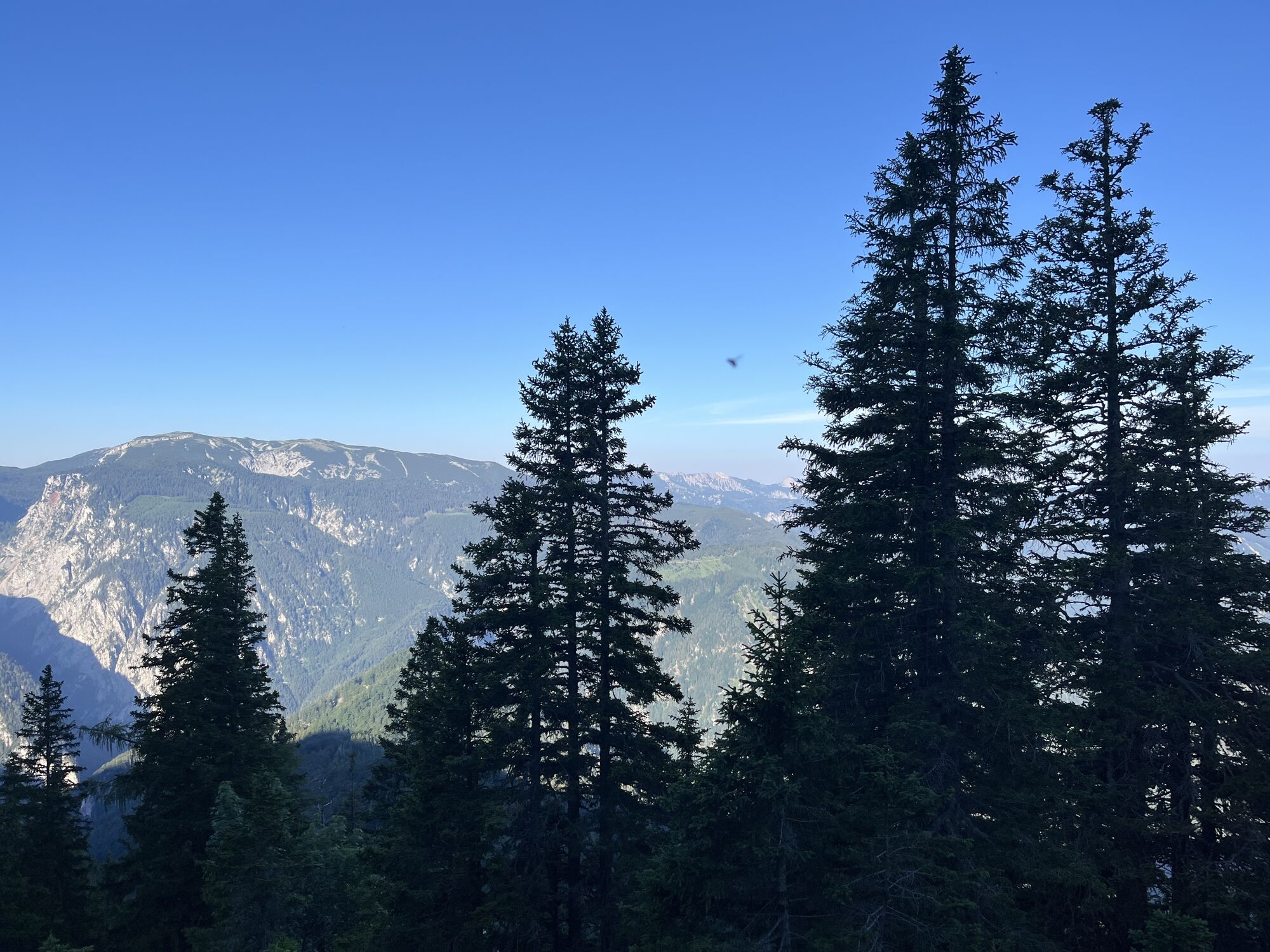
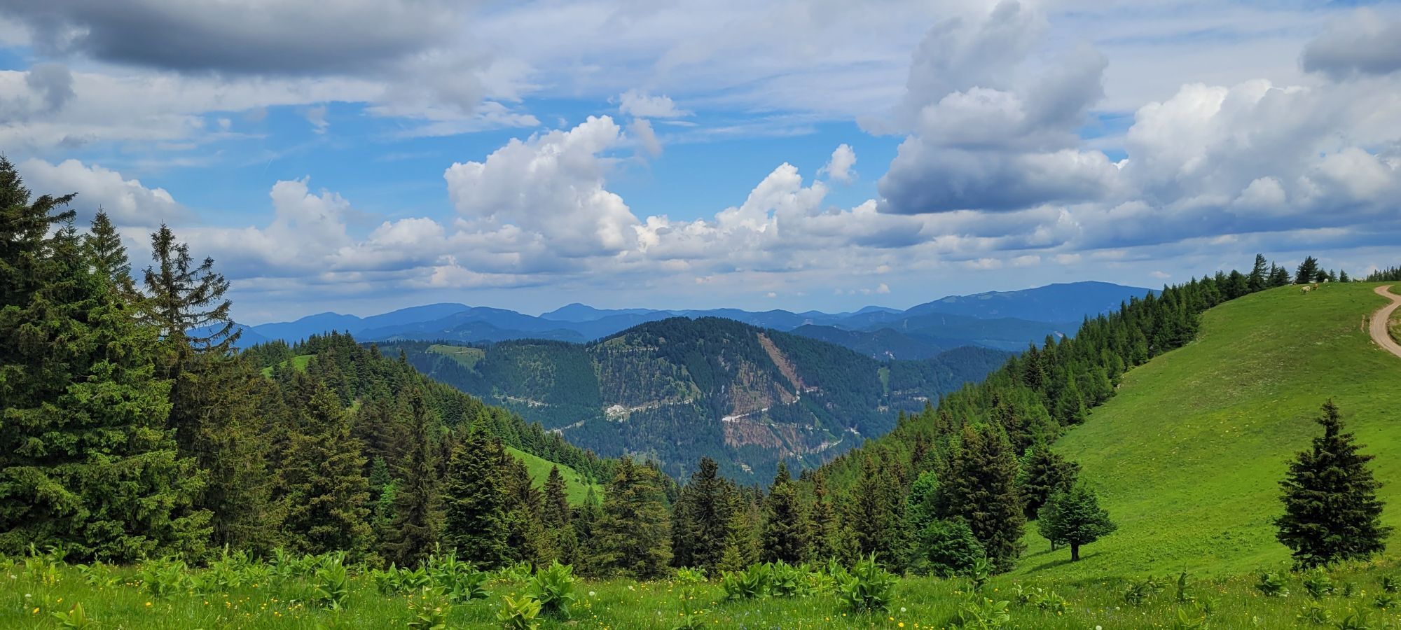
A wonderful, challenging hike that offers constant views of the Rax, the Semmering, and other peaks. Be sure to bring plenty of food and drink. The Kienthalerhütte is open only on weekends and offers a very limited selection of food.
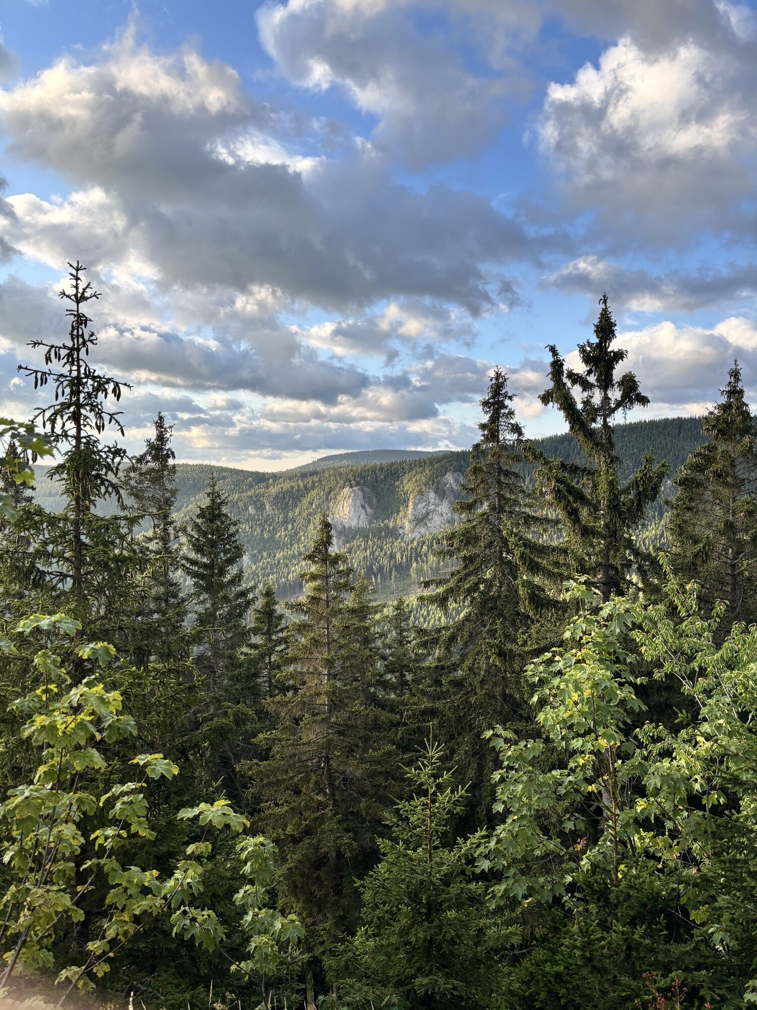
With the constant ups and downs through the various ravines on the south side of the Schneeberg, you’ll climb 1,200 meters in elevation.
Spletne kamere s turneje
-
Fischerhütte
-
Fischerhütte
-
Damboeckhaus
-
Sessellift Losenheim
-
Hochschneeberg
-
Rax-Seilbahn/Bergstation
-
Hochschneeberg
-
Puchberg
-
Baumgartner
-
Edelweisshütte Losenheim
-
Galerie Voka
-
Puchberg Kurpark
-
Elisabethkirche
-
Fischerhütte
-
Rax-Seilbahn/Bergstation
-
Schneeberg - Forellenhof
-
Gutenstein - Ferienwohnungen Mamauwiese
-
Sessellift Losenheim
Pridobite vpogled
Vedno v živo na mestu z več kot 9.500 spletnimi kamerami. bergfex Kot uporabnik Pro si lahko zdaj ogledate ustrezne spletne kamere za številne izlete v aplikaciji izleti iz. Tako si lahko neposredno ogledate trenutne razmere.
Priljubljeni izleti v okolici
-
4.7
Losenheim: Edelweißhütte - Fadensteig - Fischerhütte
srednjaPohodništvo 11.5 km -
4.7
Zahnradbahn und Wandern am Schneeberg - Plateauwanderung
srednjaPohodništvo 6.90 km -
4.8
Cultural walk Payerbach-Reichenau
svetlobaPohodništvo 7.43 km -
4.8
Rax - Heukuppe
Pohodništvo 15.6 km -
5.0
"Weichtalklamm" über Stock und Stein durch das Höllental - Weichtalhaus - Kientallerhütte 1340m
srednjaPohodništvo 14.0 km -
5.0
Insider tip: Schneeberg via the Novembergrat
težkoPohodništvo 13.5 km -
4.9
"Über den höchsten Nieder-Ösi" - Schneeberg - Weichtalklamm - Klosterwappen - Stadlwandleiten
srednjaPohodništvo 17.7 km -
4.9
Reißtalersteig und Gretchensteig
težkoPohodništvo 8.10 km -
4.9
RAX Runde
svetlobaPohodništvo 19.6 km -
4.9
SCHNEEBERG Losenheim Nandlgrat Klosterwappen Fadenweg 28.09.2017
težkoPohodništvo 15 km

Pohodništvo in sledenje


Ne zamudite ponudb in navdiha za naslednje počitnice
Vaš e-poštni naslov je bil dodan na poštni seznam.





