






Panorama route Kirchberg-Otterthal

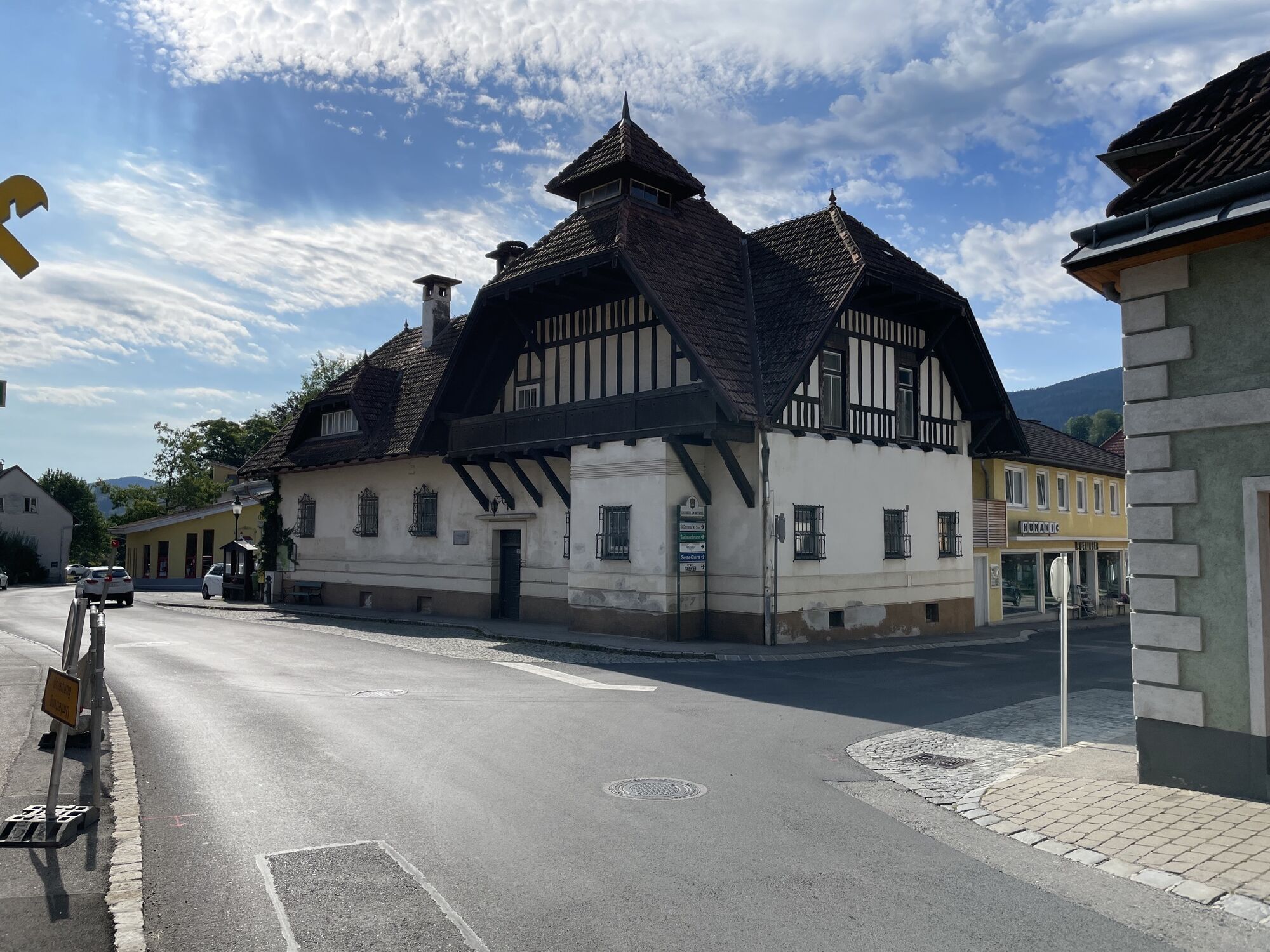
The route starts at the hiking starting point in Kirchberg am Wechsel. From there, continue towards the sports store, and immediately afterwards along the stream to a small bridge, which we cross and walk...
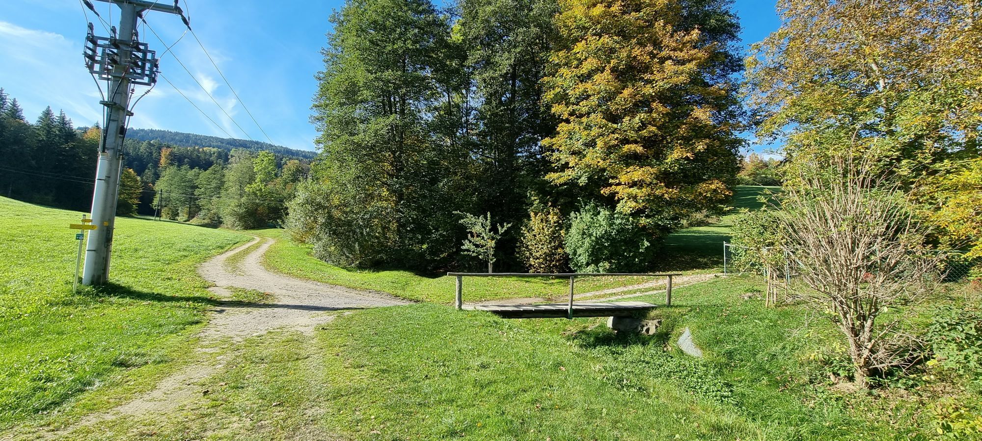
The route starts at the hiking starting point in Kirchberg am Wechsel. From there, continue towards the sports store, and immediately afterwards along the stream to a small bridge, which we cross and walk towards the Hofwaldteich pond. Here, a narrow path leads us into the forest; soon afterwards we meet the asphalt road to the "Kreuzbauern".
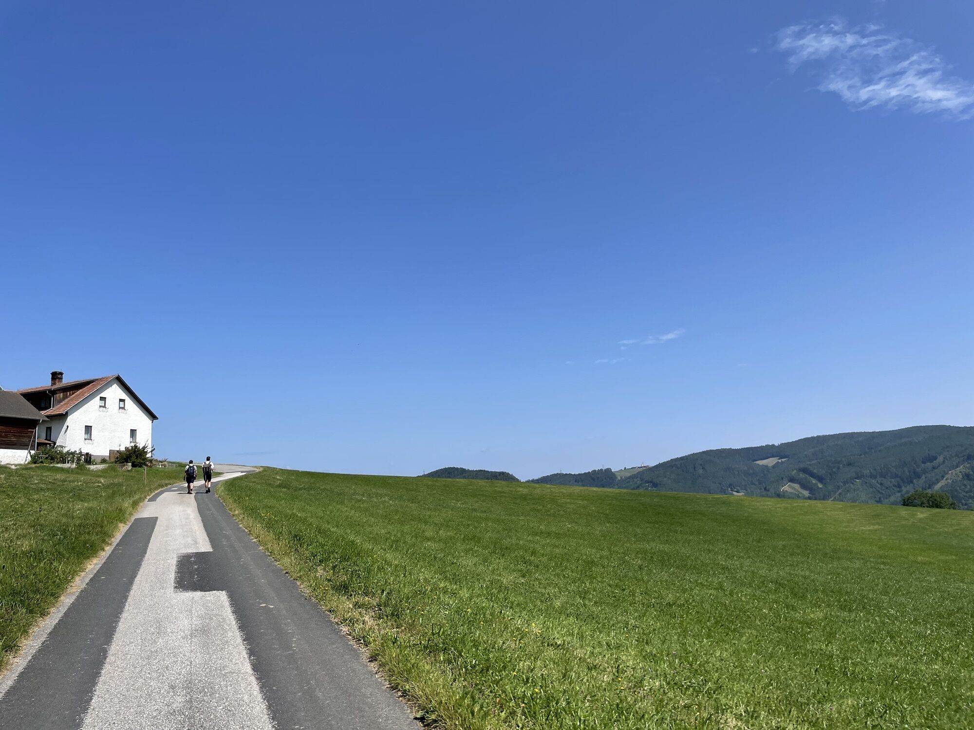
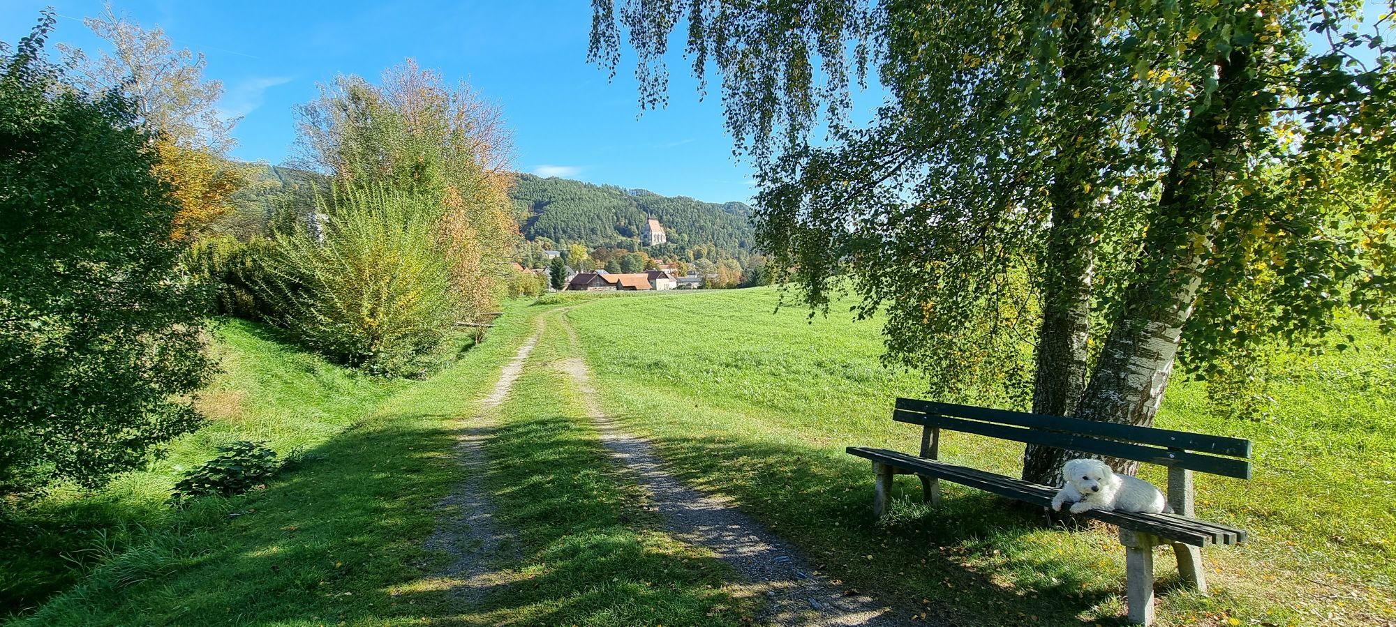
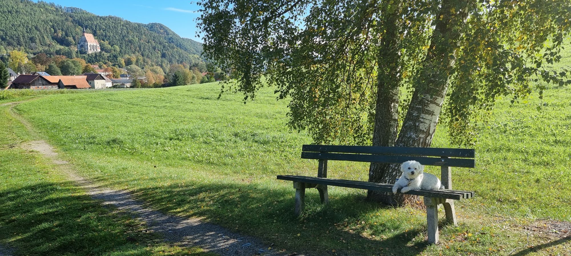
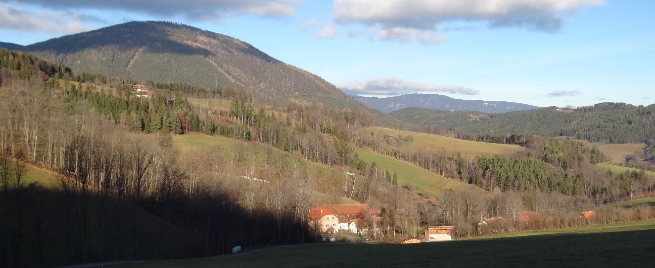
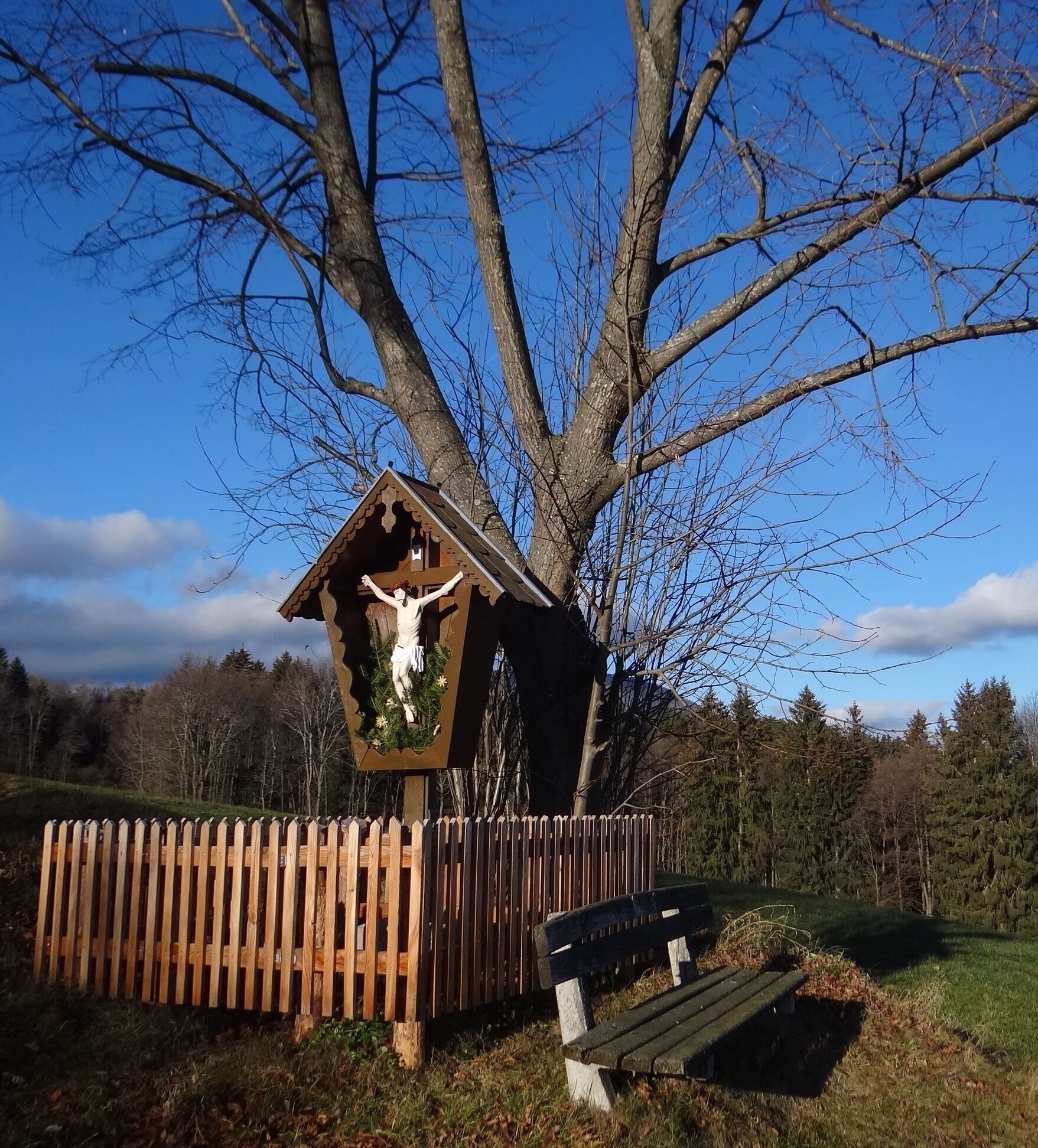
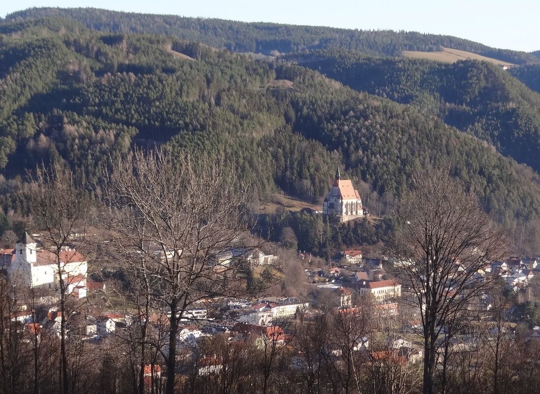
We follow this road until the next sharp bend to the right, after which the yellow signpost points us to the left, where we walk relatively steeply uphill along the edge of the field. Finally, we reach a wayside shrine with a bench, where we can take our first well-earned rest and enjoy the view of Kirchberg and its two churches. Now we follow the tarmac road for a while until we reach the "Kreuzbauern", after which we enter the forest on a forest path. We soon reach a fork in the path. The one on the left leads to the Steyersberger Schwaig, the one on the far right back down into the valley. We choose the middle path with yellow markings. We then hike along this forest path, which has already grown, for a relatively long time. Finally we come out of the forest and cross a natural dam, the so-called "Holzgasse", which is already in the Alpltal valley. Here, too, a bench invites you to take a break. Here you also have the otter in front of you and beautiful views of the Rax.
FIRST DESCENT
We follow the left-hand forest path, at first only slightly, then more and more steeply downhill. Caution: The path is generally well marked, but after about two thirds of the way you have to watch out for a narrow path that branches off to the left from the wider forest path between the trees. Finally, we reach a farm with alpacas before crossing the main road. Now it's another steep climb, first a short stretch of asphalt on the left, then into a sparse forest on a tractor track that leads us to an asphalt cul-de-sac. Here we turn left, walk past a farmstead until a yellow signpost on the right points us in the direction of the Ramssattel. Once again, fitness is required until we finally reach the asphalt road, on which we continue to the Ramswirt. Here you can stop for refreshments. Now we've almost made it and we only have a leisurely descent ahead of us. Immediately after the Ramswirt in the direction of Kirchberg, a steep forest path branches off to the left, which we follow. This leads us through the forest to the first bend in the Ramsstraße. Now we follow the road across the meadow to the Rams crossroads, where the cemetery is located. We keep to the right, along the cemetery wall, then turn left until we reach the promenade, which we follow to the left until we reach our starting point at Postbacherl.


Sturdy footwear is recommended
Mountain rescue emergency number: 140
EU emergency number: 122
From the A2 take the Aspang exit to Kirchberg am Wechsel or from the A2 - S6 take the Gloggnitz exit to Kirchberg
Take the Südbahn to Gloggnitz station and with bus no. 367 of Retter Linien to Kirchberg am Wechsel/town center.
Or to Aspang station and with regional bus 370 to Kirchberg am Wechsel.
More detailed info at route planner VOR AnachB
Free parking is available in the town area.
Tourism office Kirchberg am Wechsel, +43 2641 2460
Refreshment options
Ramswirt (directly on the route)
Grüner Baum (in town)
Kaufhaus Köck
Alternative return route
You could also extend the route from Ramswirt by hiking over the Eselberg (at Ramsweg take the asphalt road towards Landgasthaus Fally) and the Kernstockwarte back to Kirchberg. This trail is also marked. However, you should allow about an hour longer, which is rewarded with great views towards Hohe Wand.
Spletne kamere s turneje

Priljubljeni izleti v okolici
-
3.9
Schwaigen Rundwanderung
svetlobaPohodništvo 8.24 km -
3.8
St. Corona - Kampstein
srednjaPohodništvo 10.7 km -
4.6
Hochwechsel-Runde, Waldbach-Mönichwald
srednjaPohodništvo 17.9 km -
4.7
Hochwechsel - Tour
Pohodništvo 18.5 km -
4.9
Flatzer Wand Wanderung
svetlobaPohodništvo 5.62 km -
4.7
Fischbacher Alpen: Vom Pfaffensattel zum Stuhleck
svetlobaSnežni čevlji 2.45 km -
4.6
Prigglitz - Pottschacher Hütte - Rote Wand - Prigglitz
srednjaPohodništvo 8.80 km -
4.6
Mariensee - Wildwasserweg - Marienseer Schwaig
svetlobaPohodništvo 8 km -
4.6
Hochwechsel
srednjaPohodništvo 14.3 km -
4.6
Klamm - Speckbacherhütte - Breitenstein - Klamm
srednjaPohodništvo 13.4 km
Pohodništvo in sledenje


Ne zamudite ponudb in navdiha za naslednje počitnice
Vaš e-poštni naslov je bil dodan na poštni seznam.





