







On the Bahnwanderweg from Semmering to Payerbach

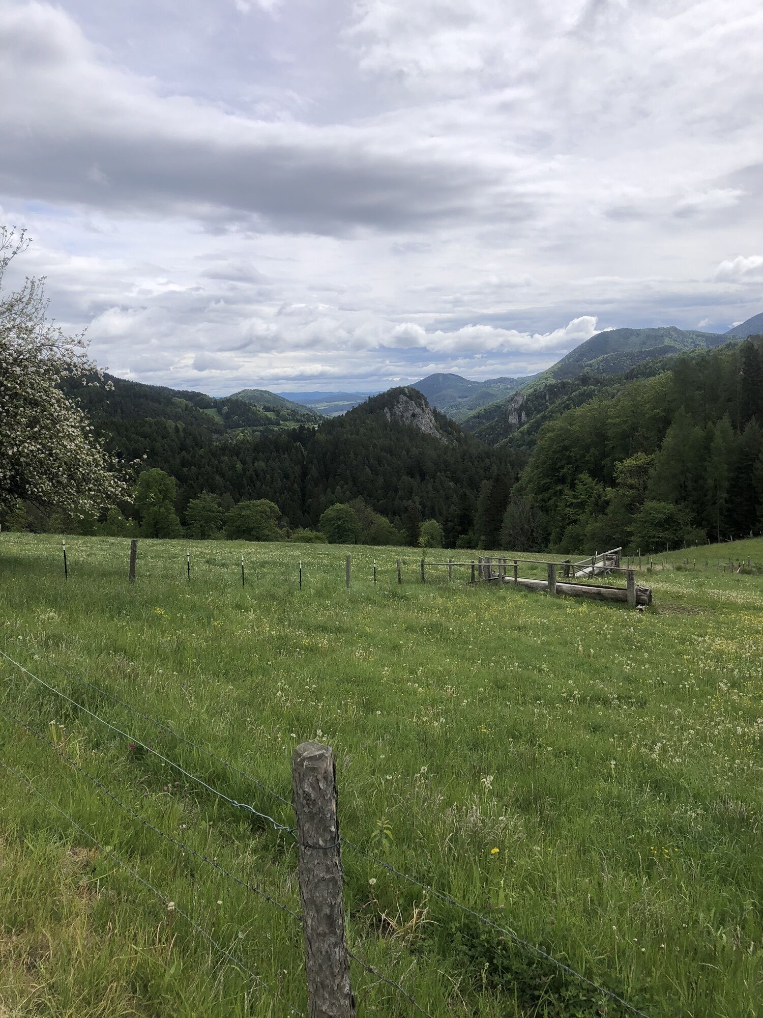
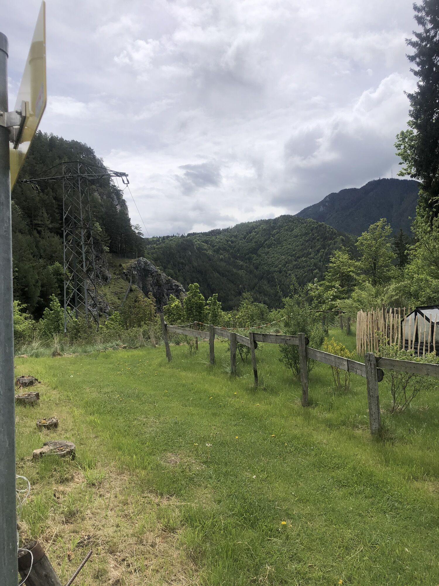
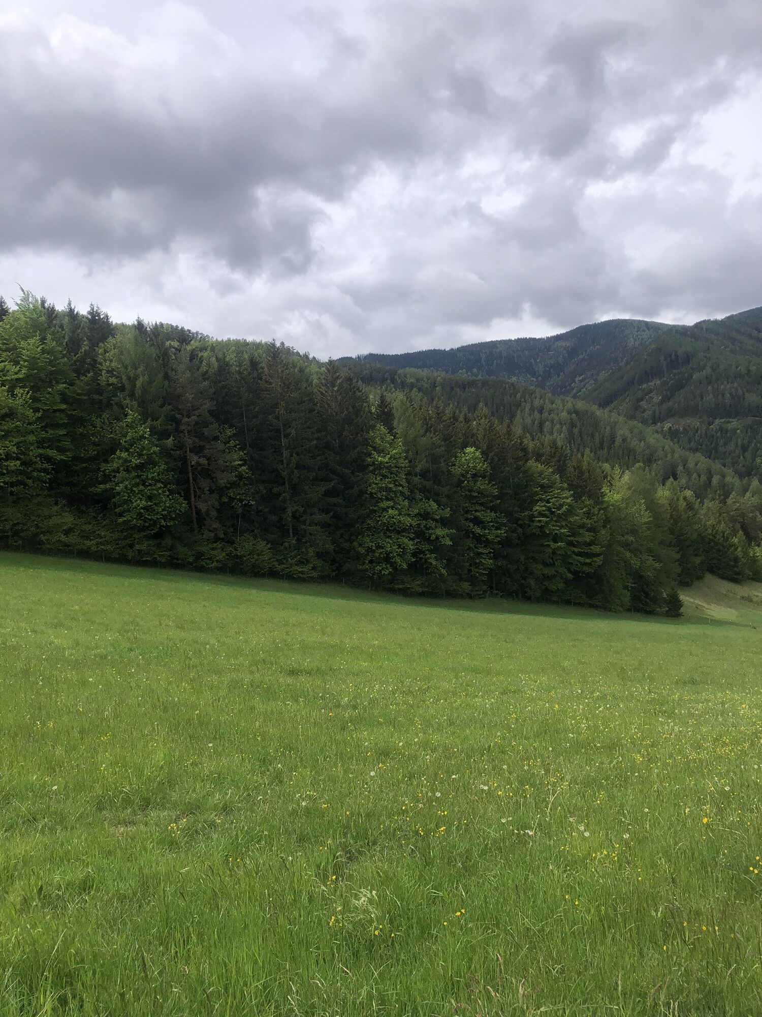
Note: The railroad hiking trail is currently rerouted between the Semmering and Wolfsbergkogel train stations via Südbahnstraße and Adlitzgrabenstraße. This scenic alternative route runs above the historic...
Note: The railroad hiking trail is currently rerouted between the Semmering and Wolfsbergkogel train stations via Südbahnstraße and Adlitzgrabenstraße. This scenic alternative route runs above the historic Südbahn railway line and past the impressive villas of the Semmering summer resort.
Railway Hiking Trail
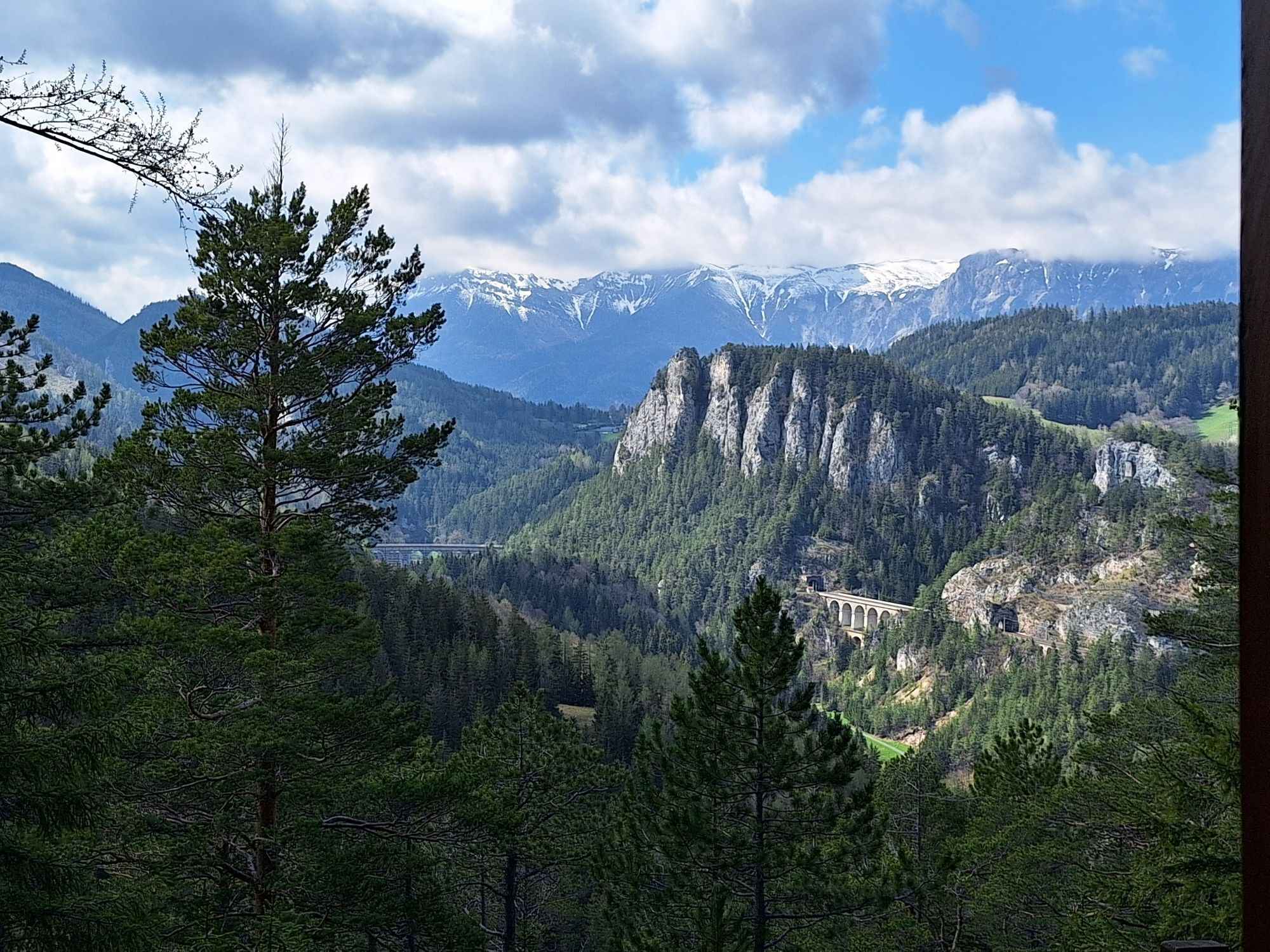
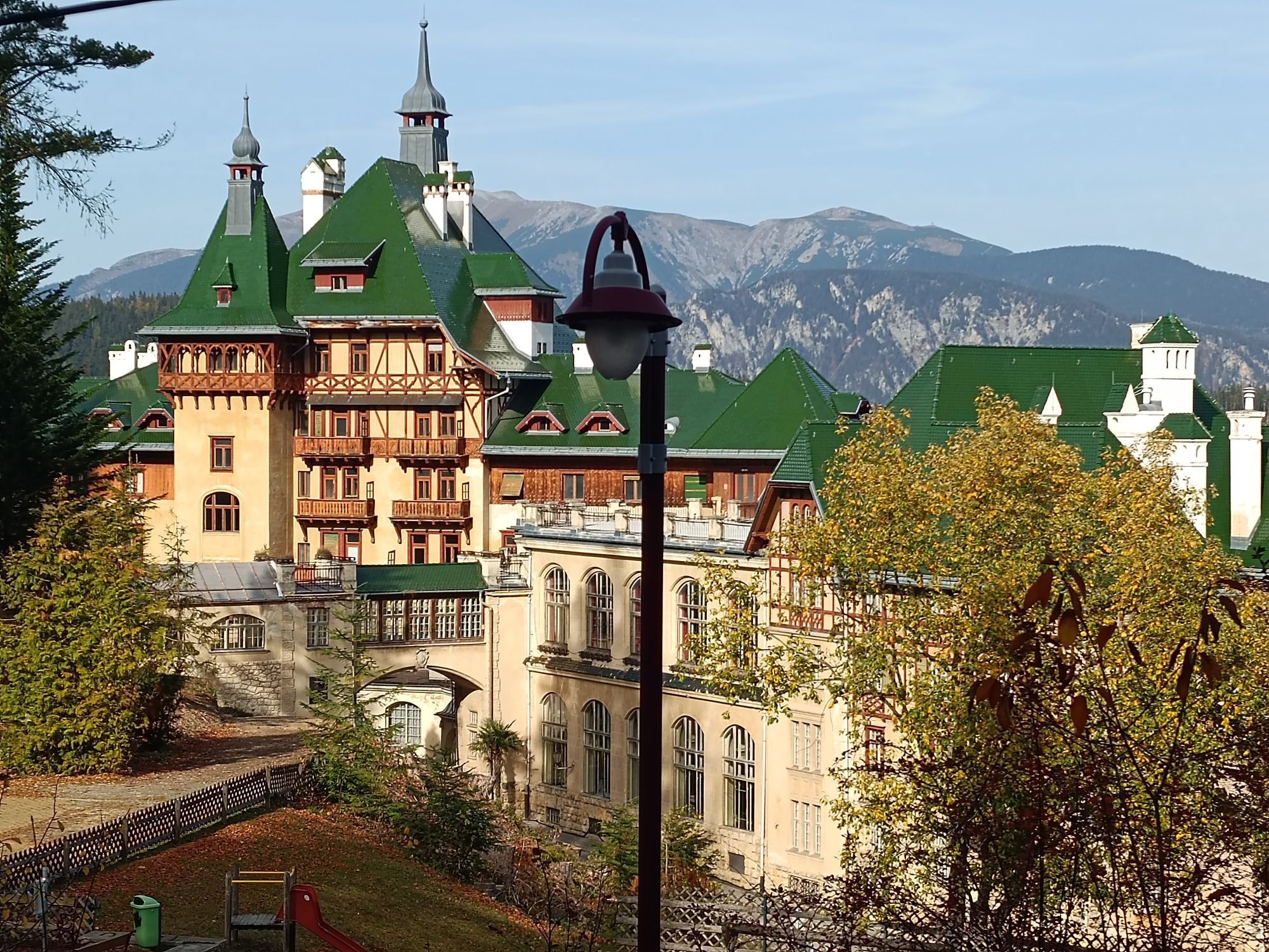
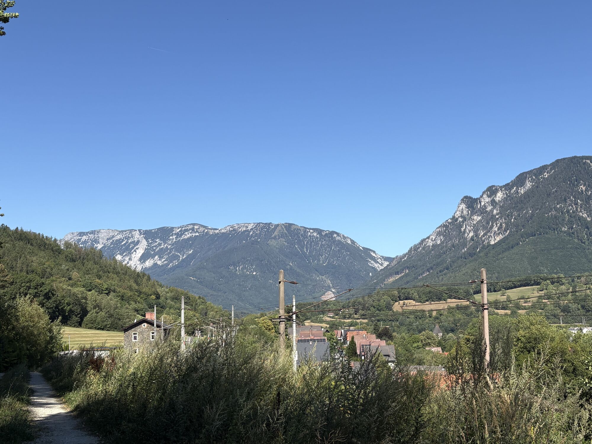
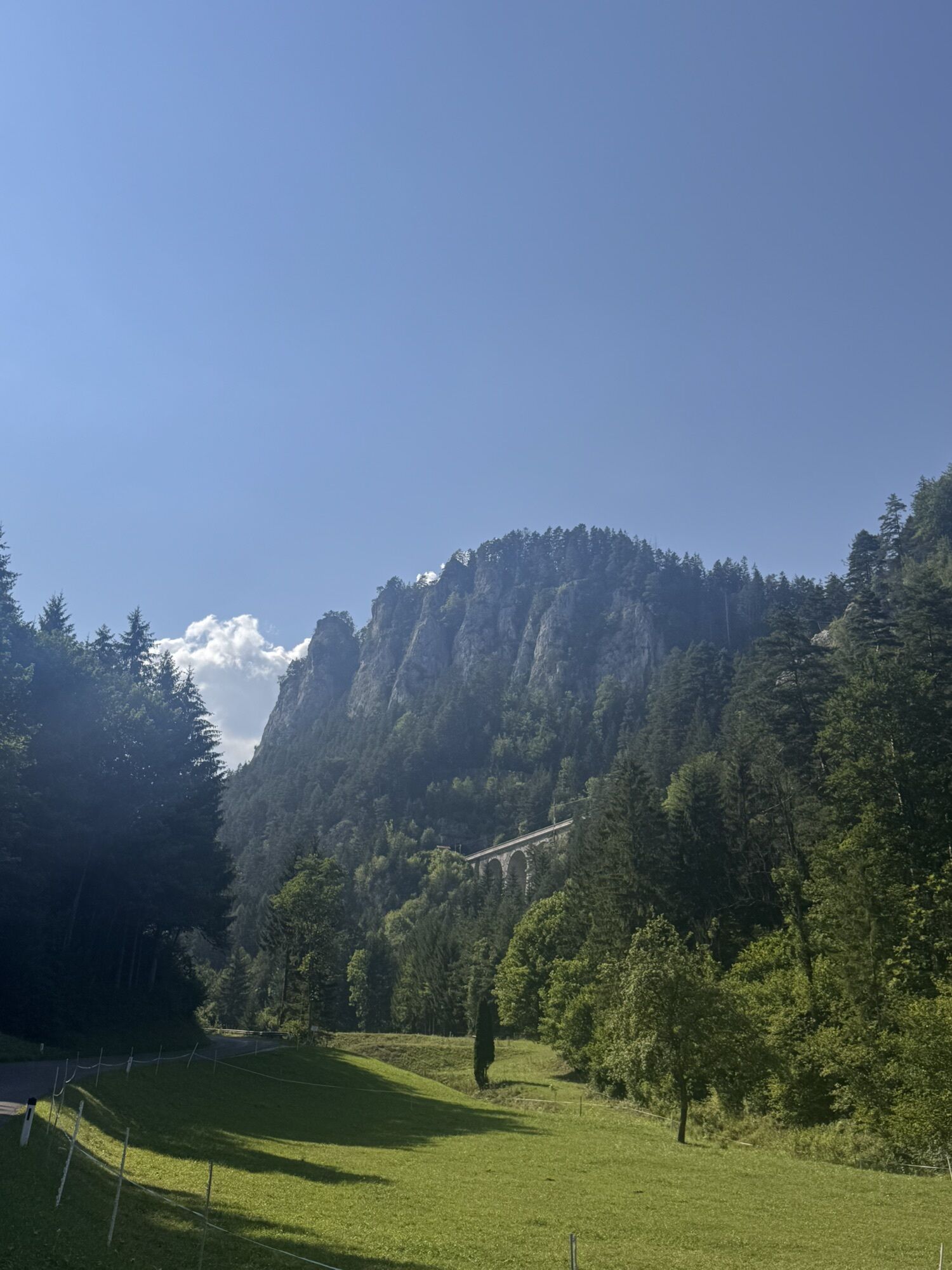
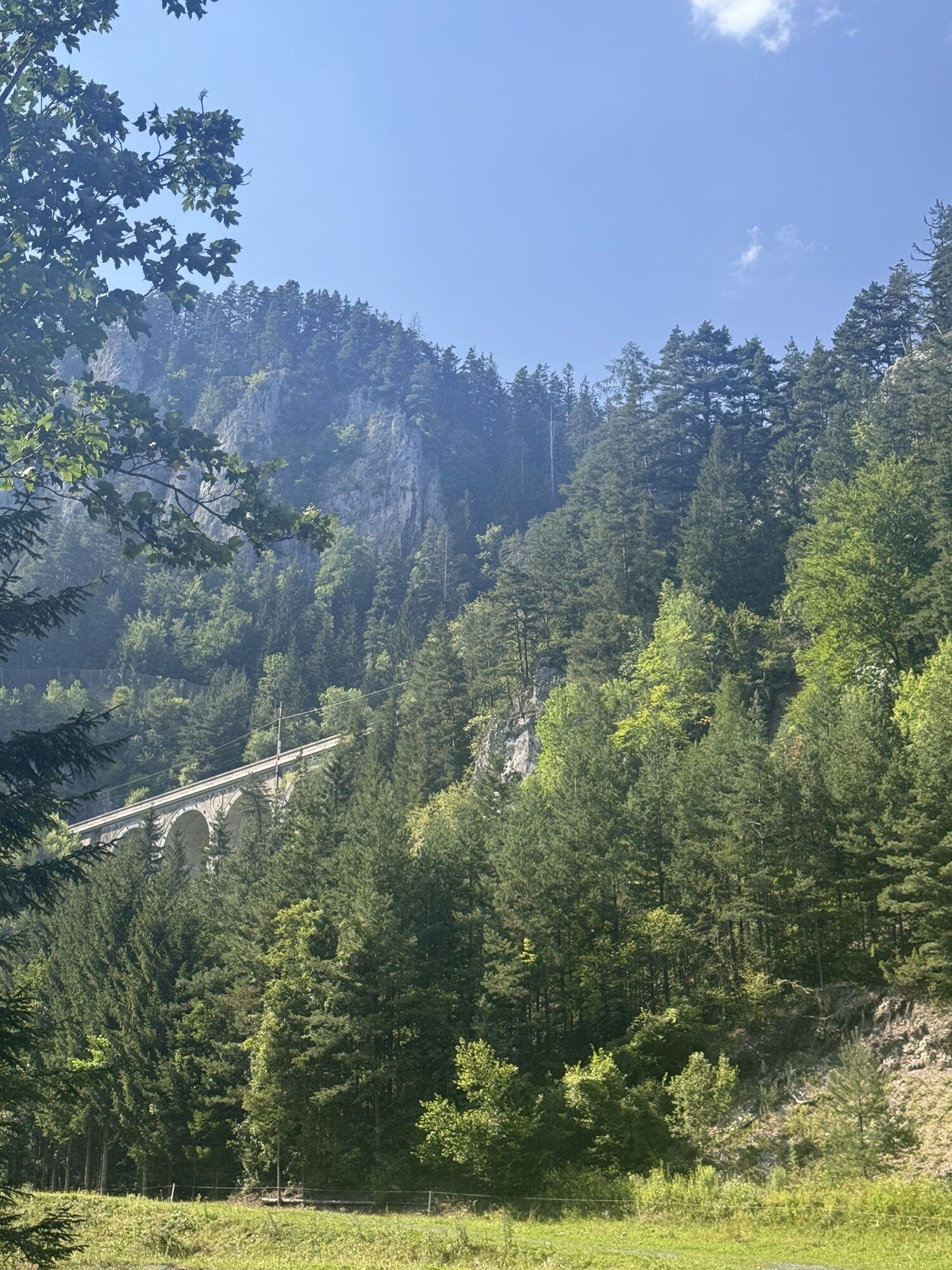
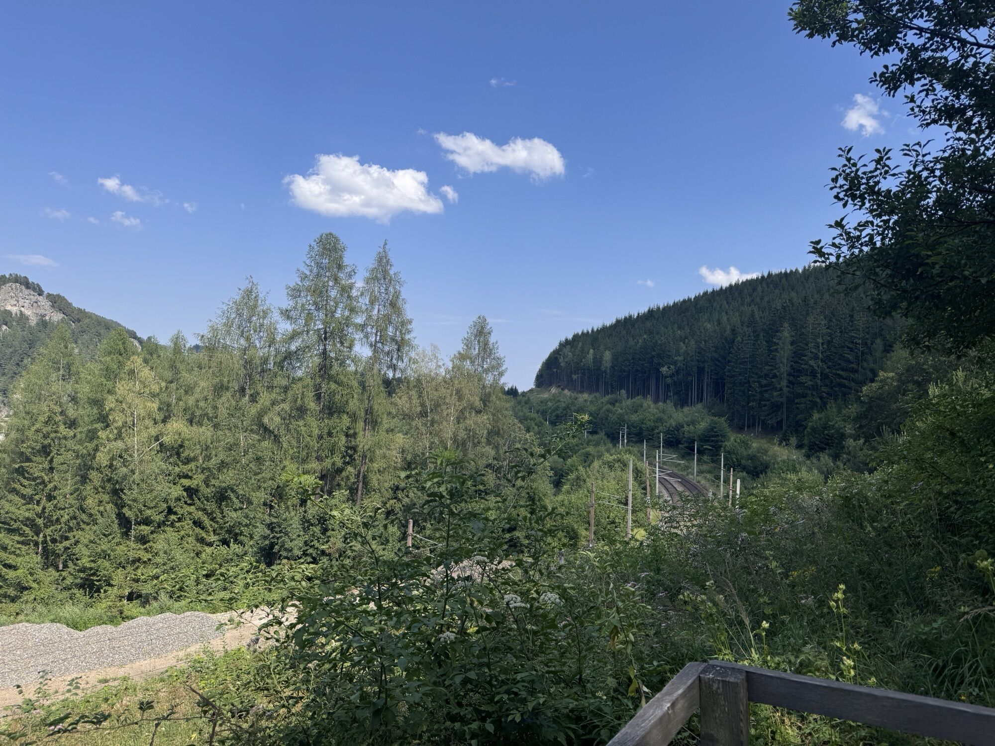
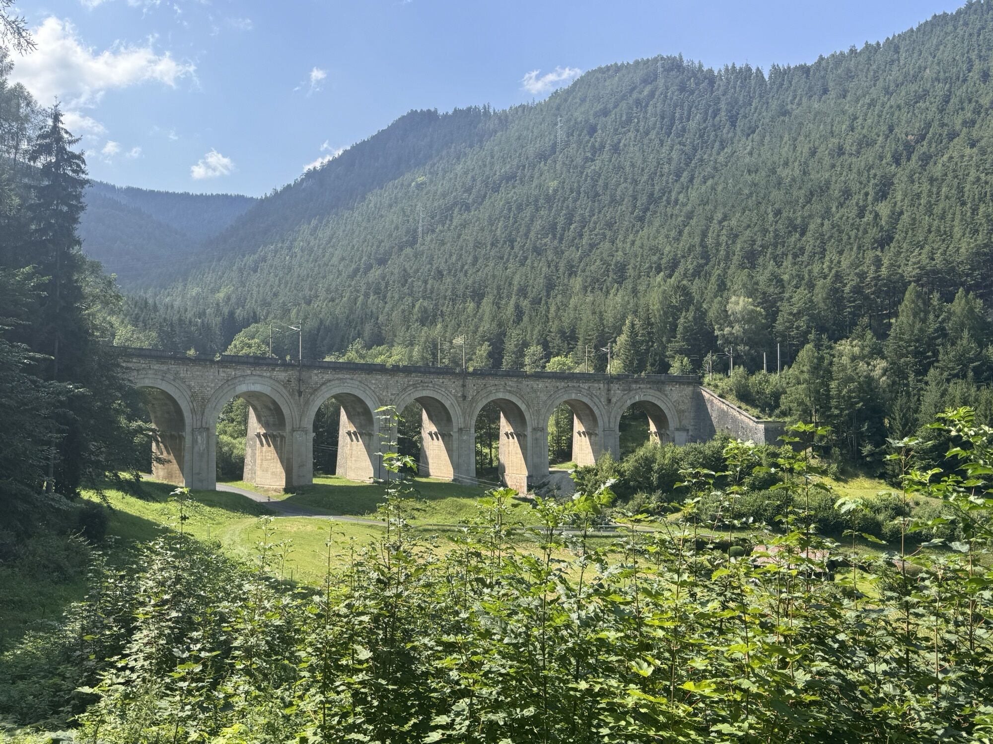
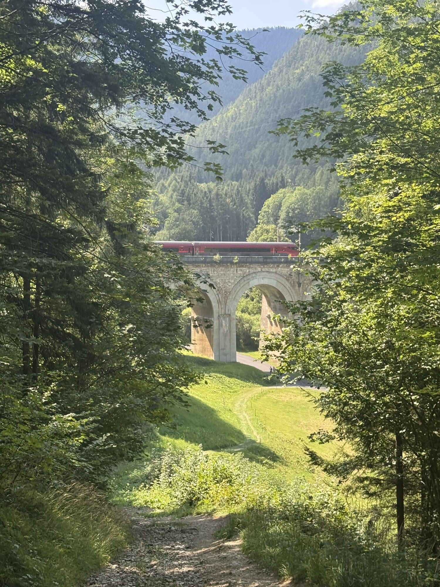
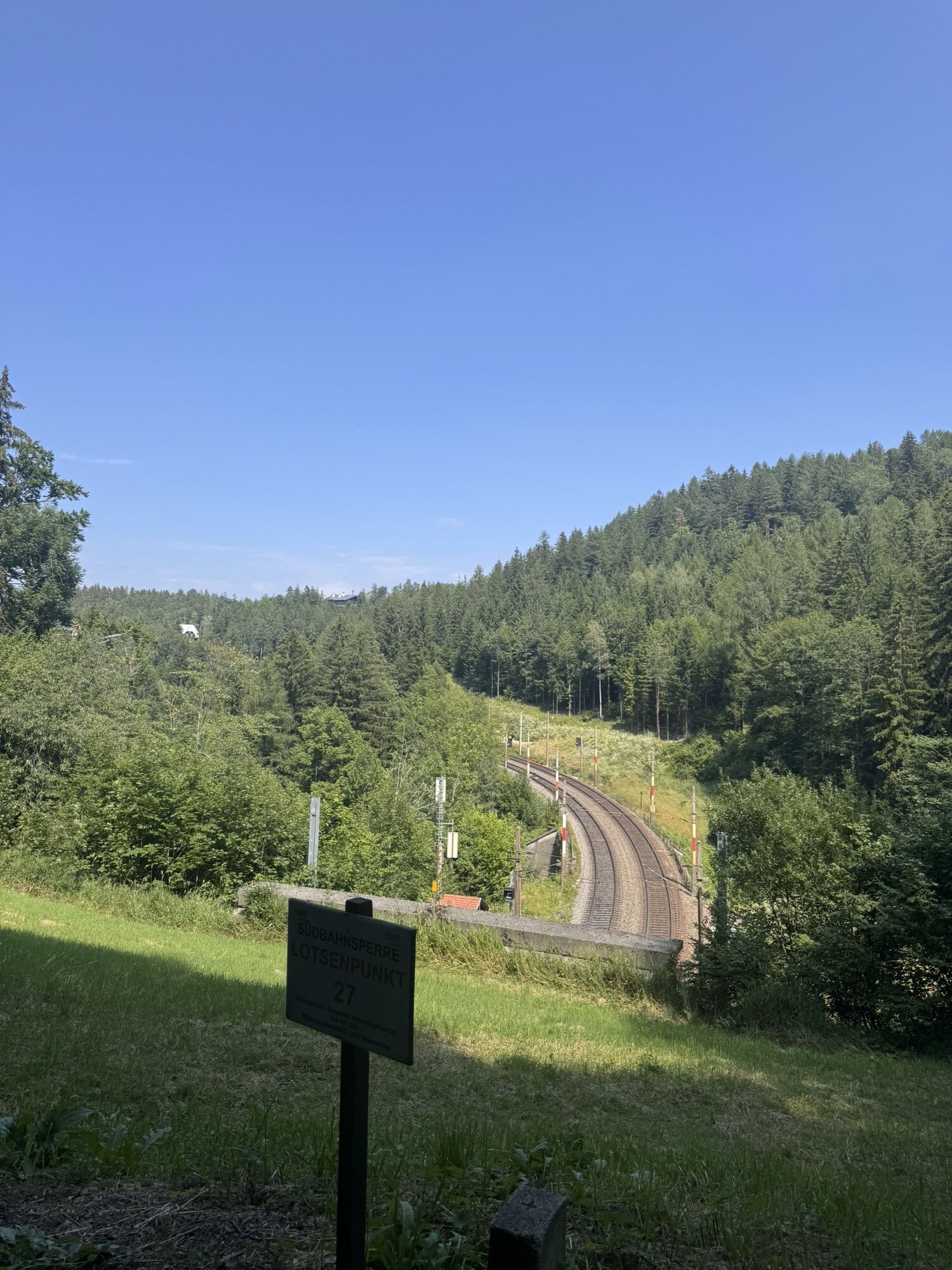
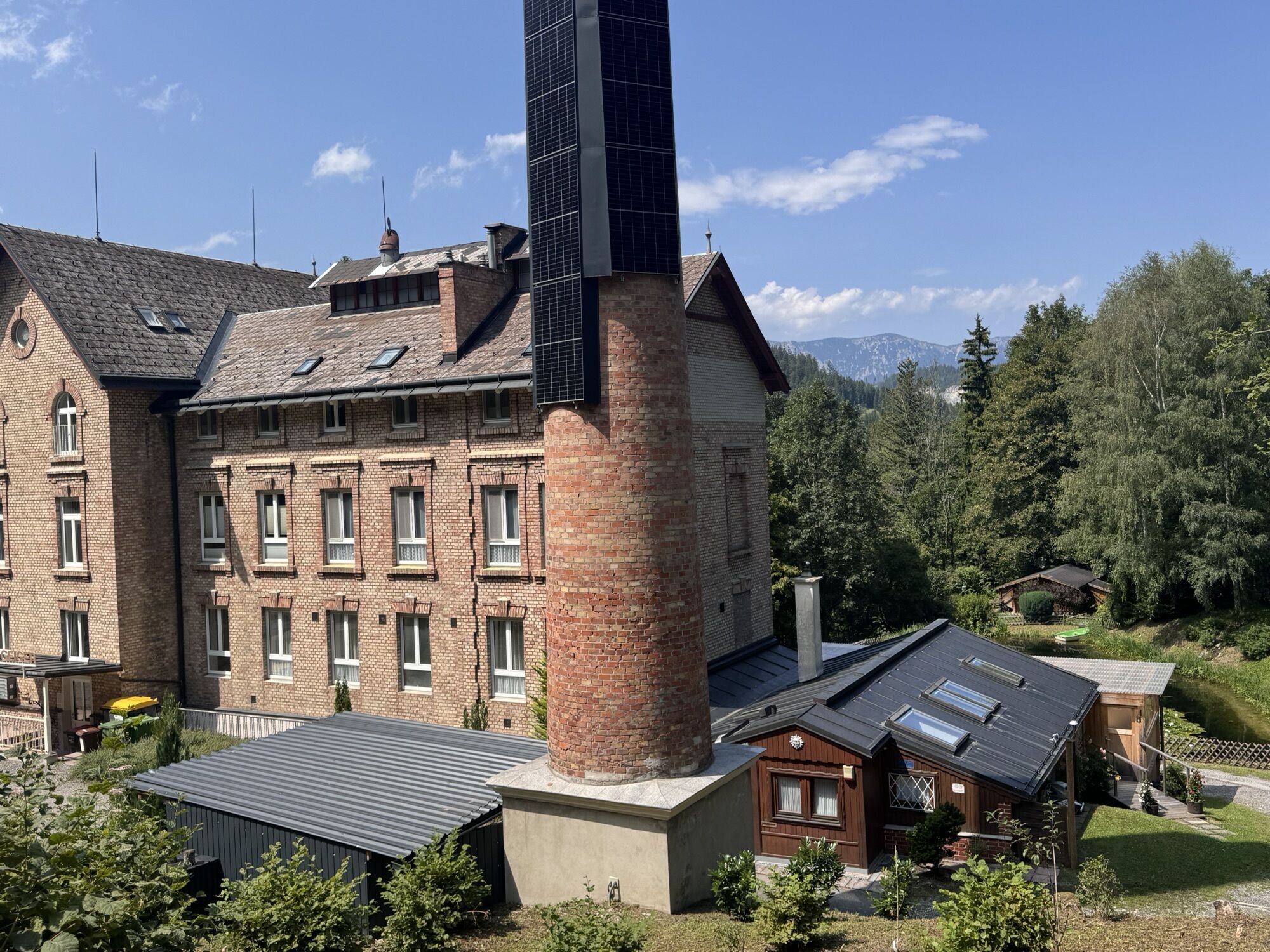
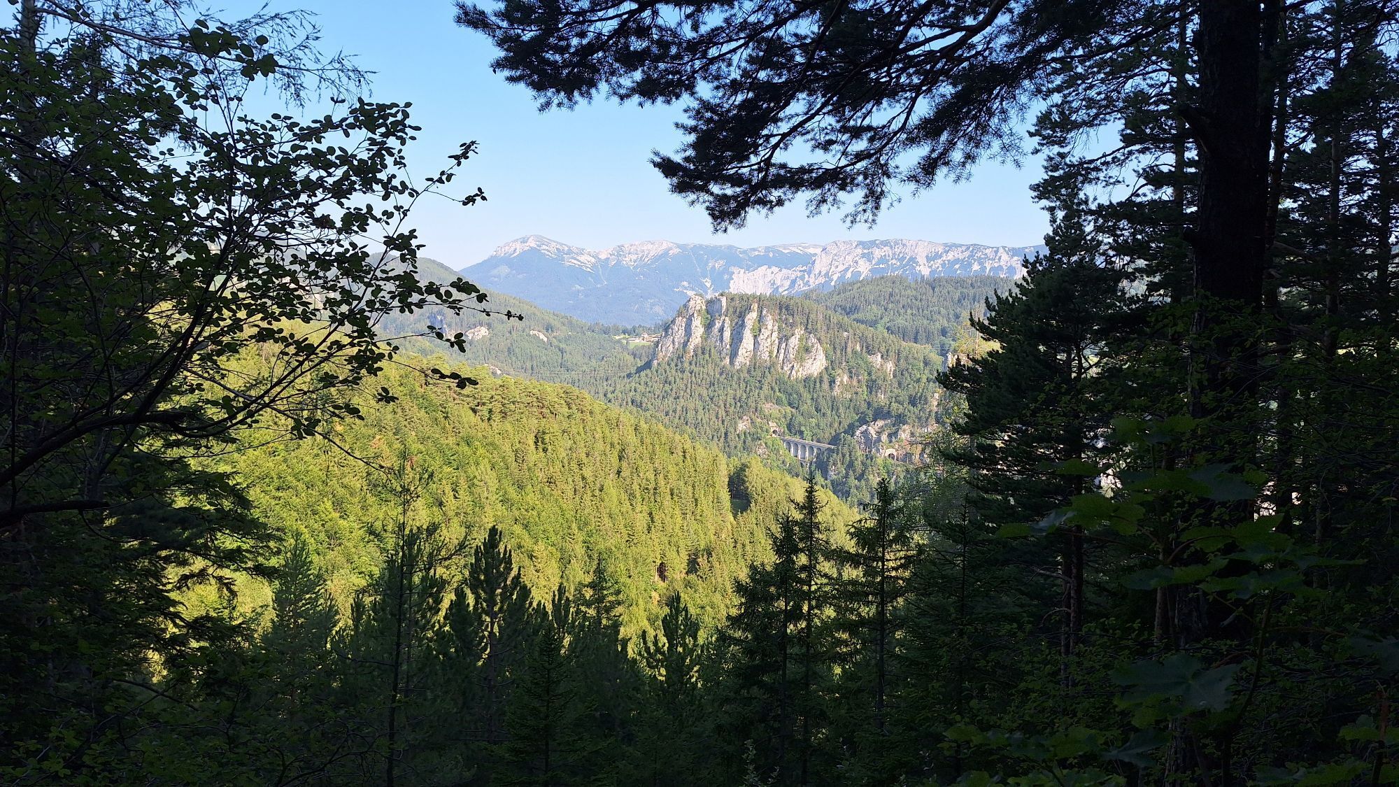
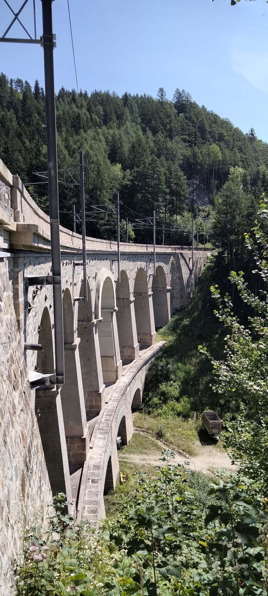
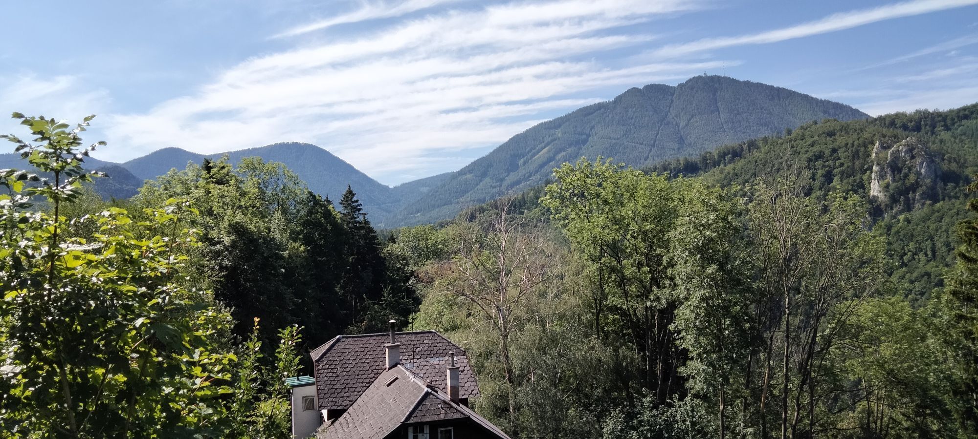
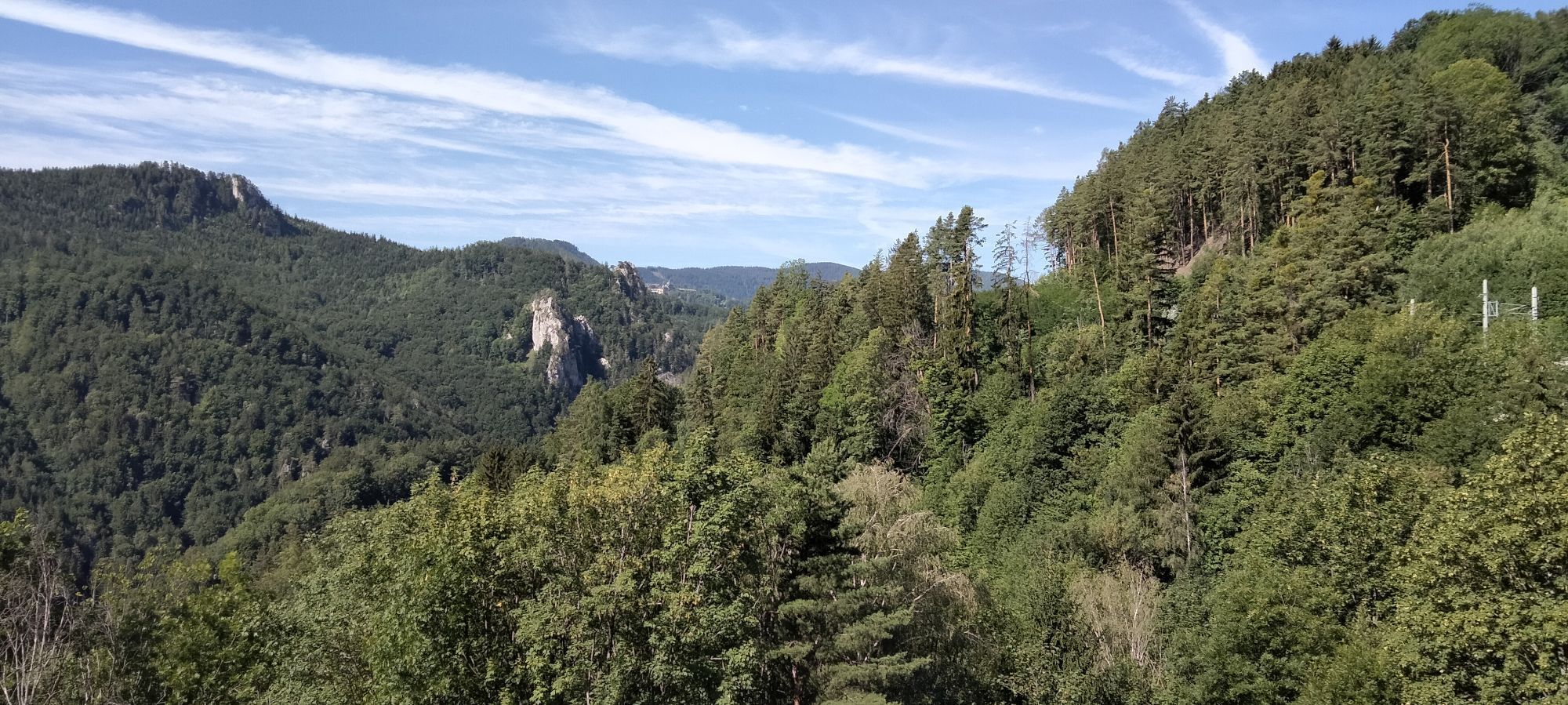
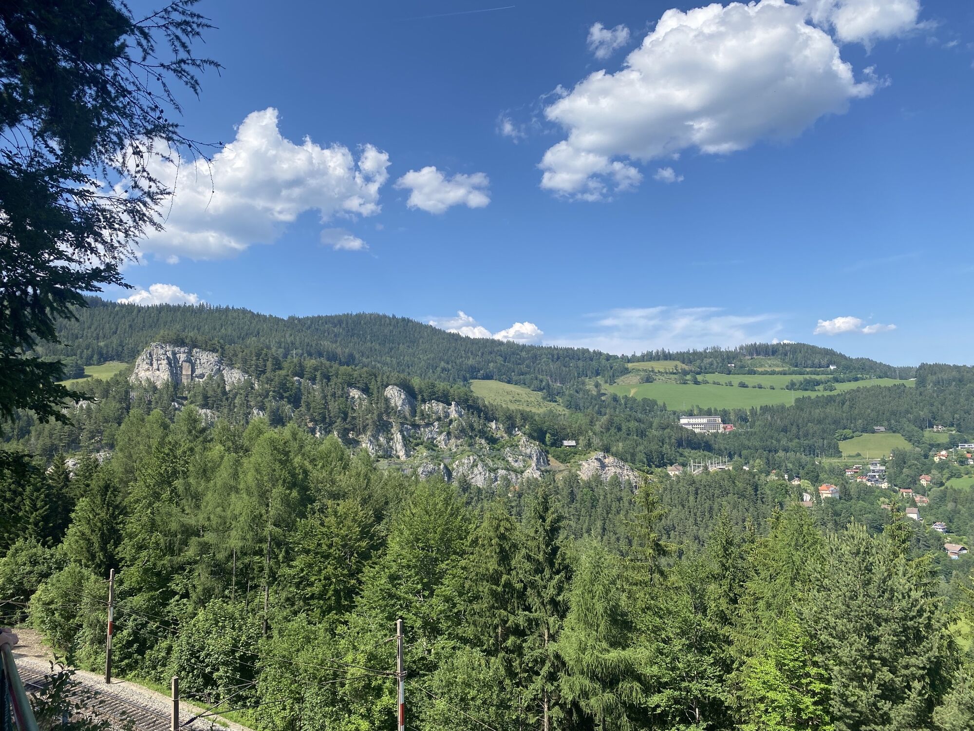
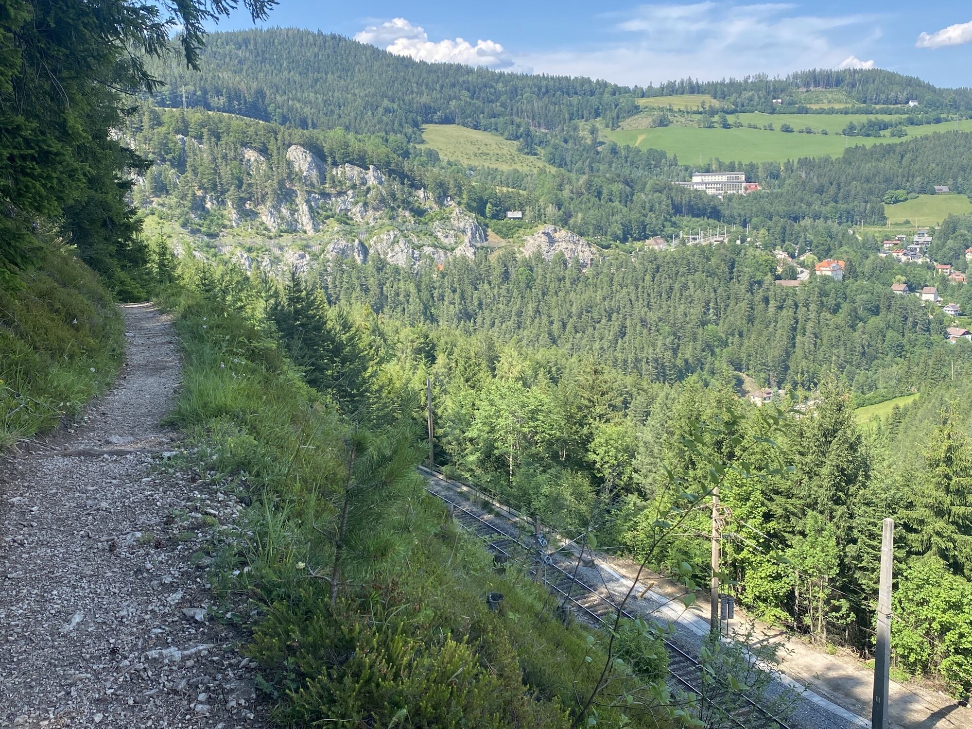
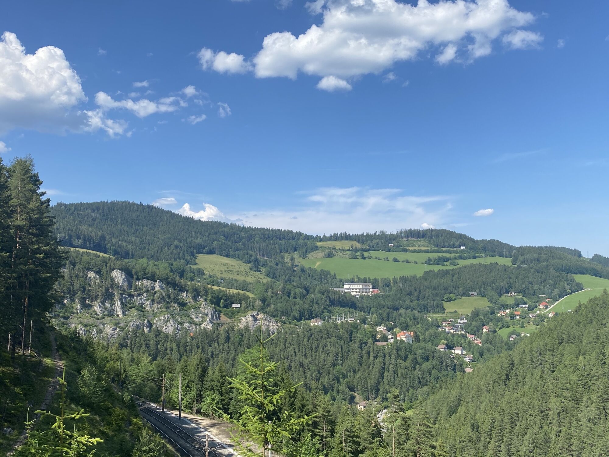
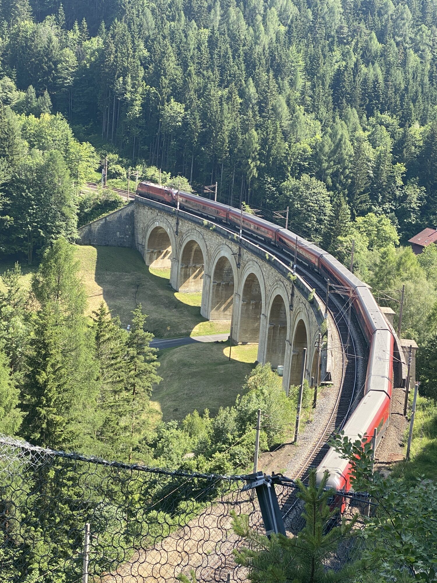
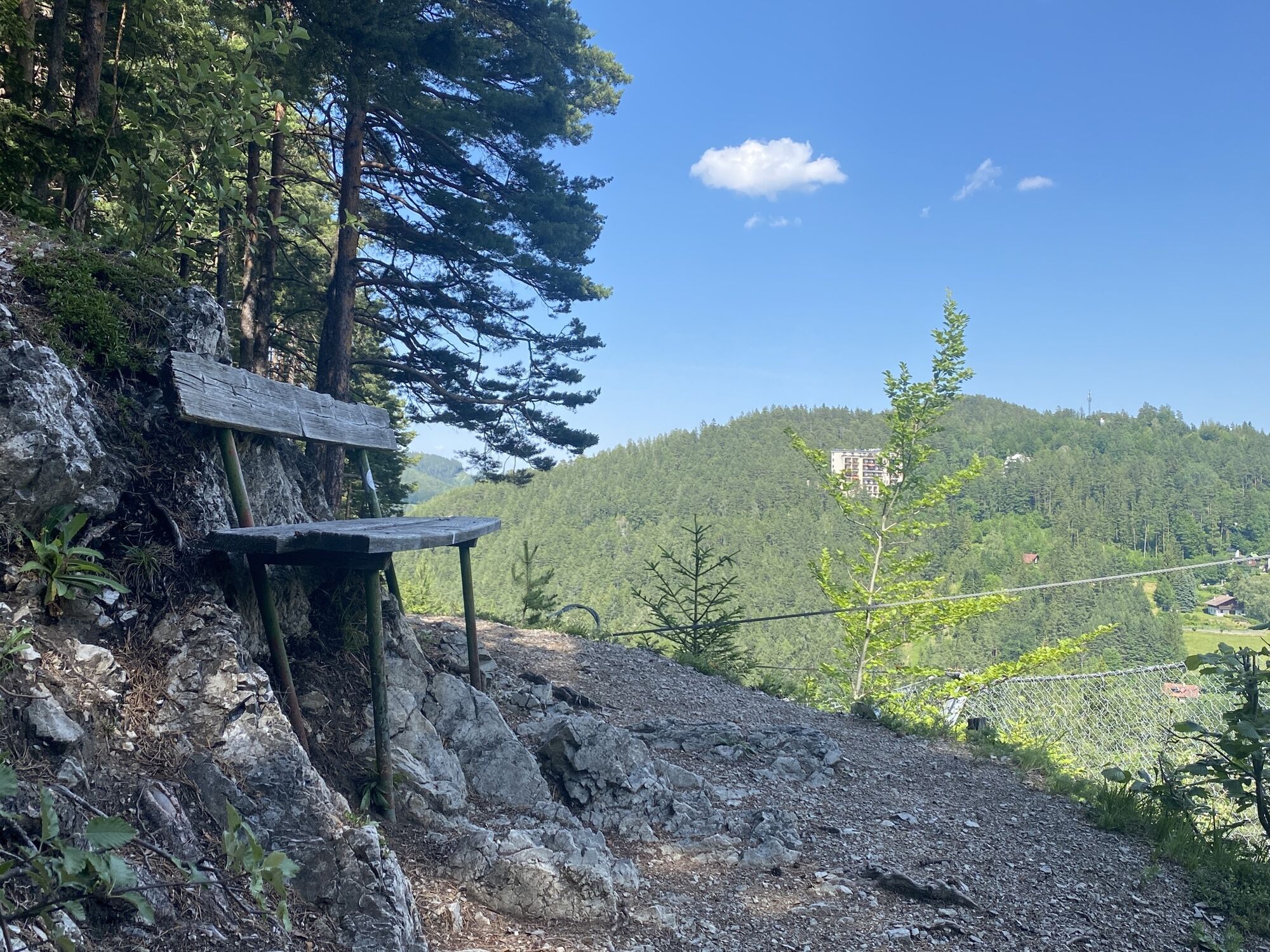
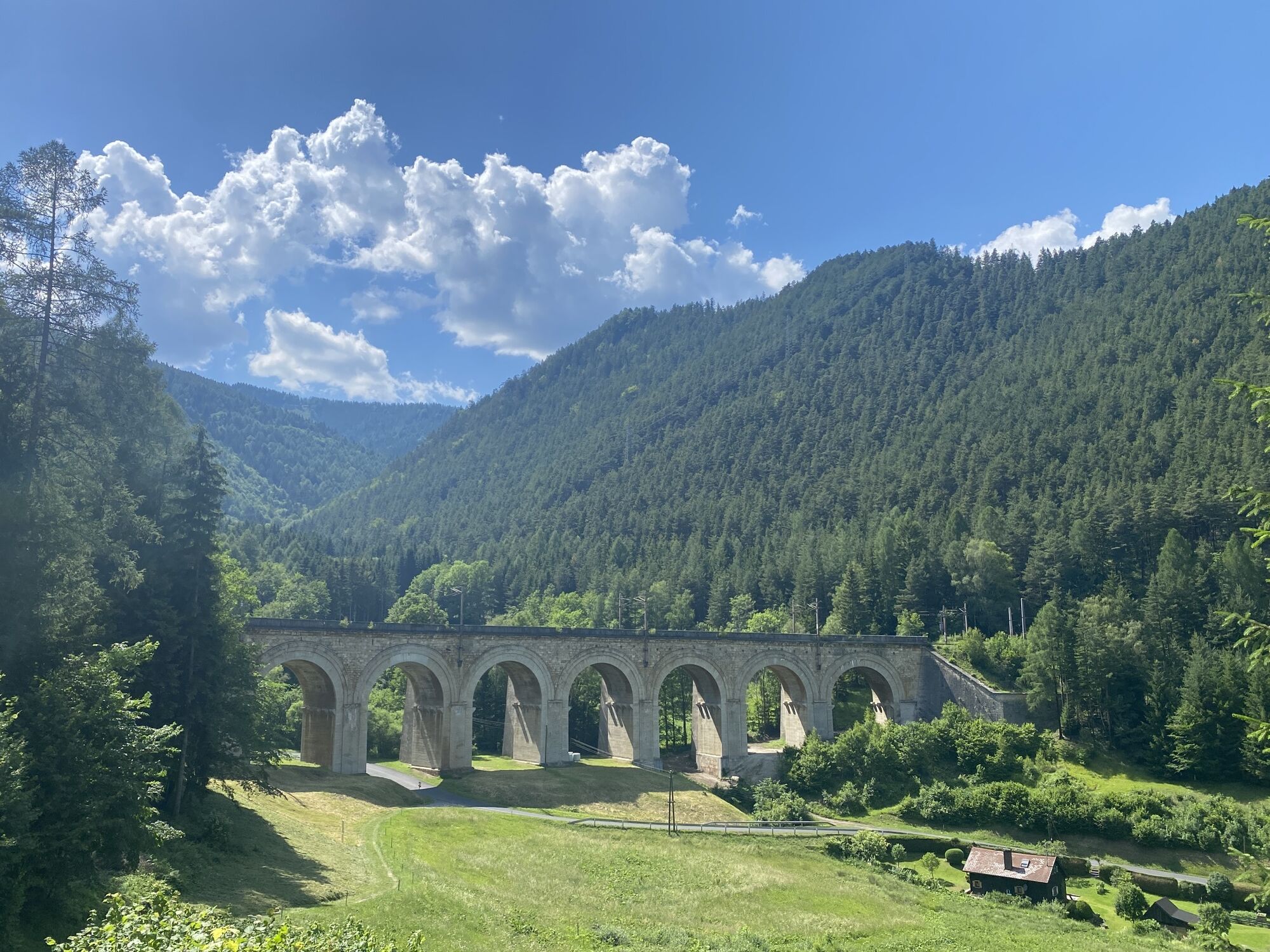
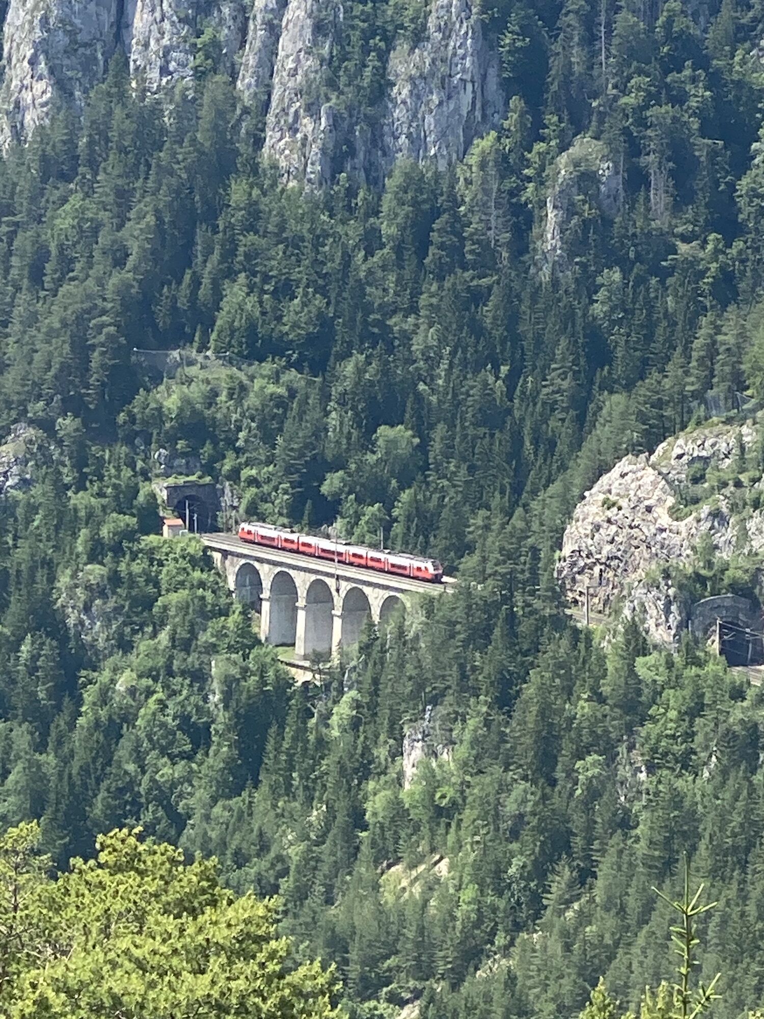
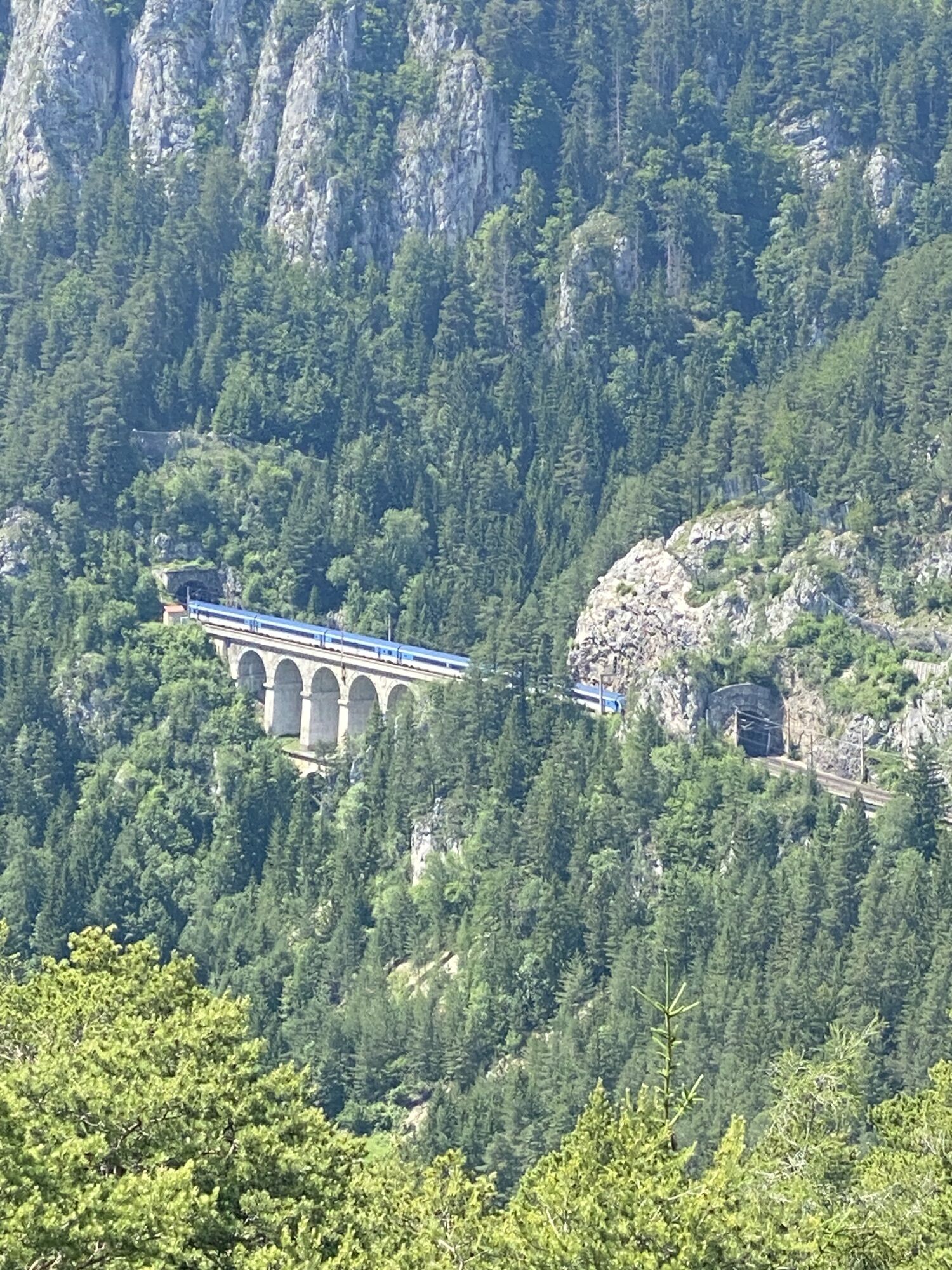
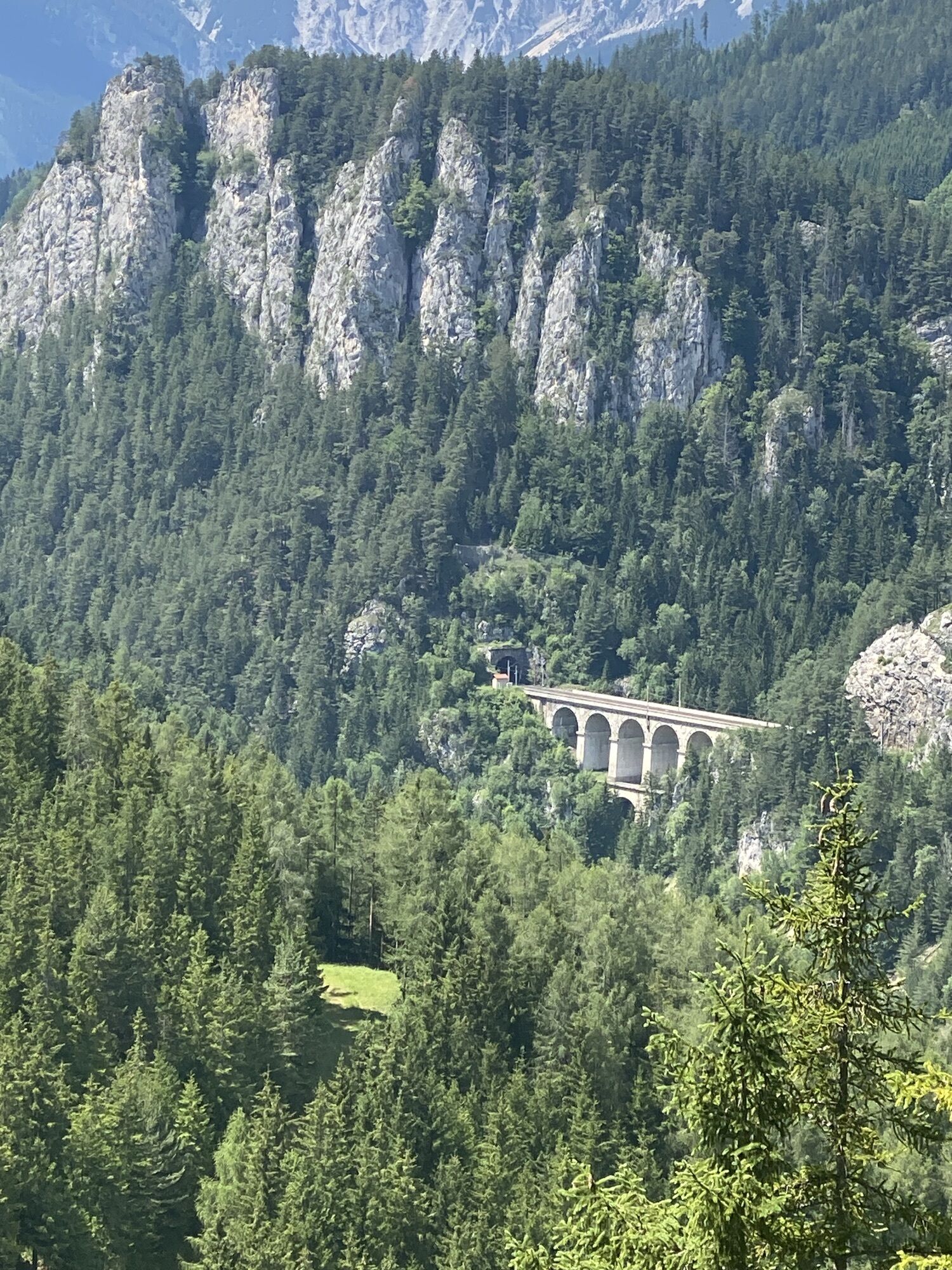
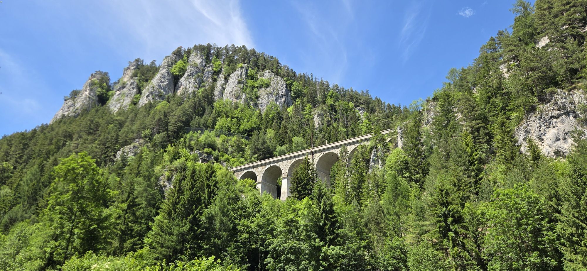
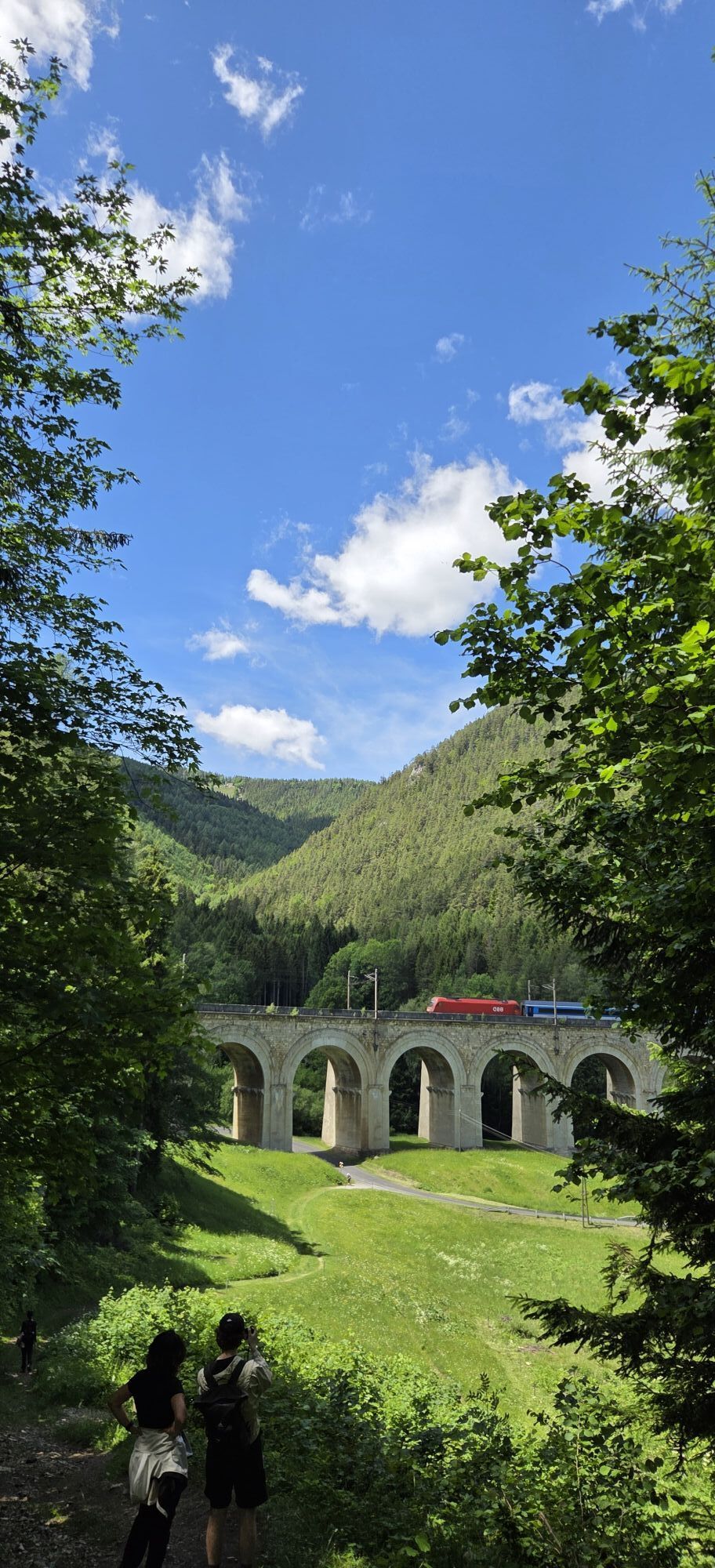
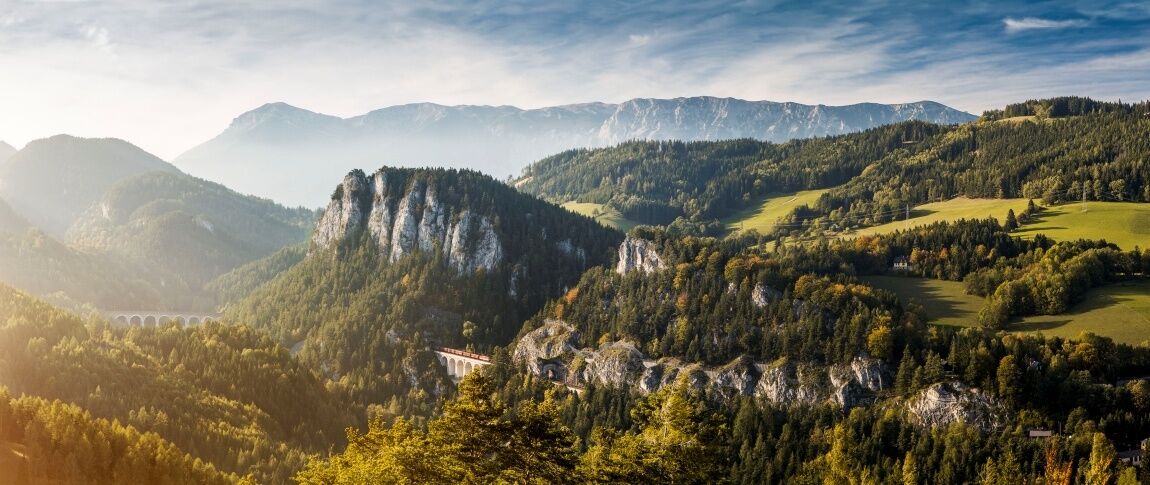
The hike begins at Semmering Station and follows the Semmering Railway, a UNESCO World Heritage Site. Information panels and beautiful viewpoints line the entire route. From Semmering Station, the trail leads past the historic Südbahn Hotel to Wolfsbergkogel. At the Doppelreiter observation point, you’ll enjoy a panoramic view of the imposing viaducts and tunnels, with the Rax and Schneeberg mountains in the background. From here, you can watch trains as they travel over the Ghega Railway’s most impressive structure, the “Kalte Rinne.” Be sure to enjoy the “20-Schilling View” (named after the design on the 20-schilling bill). The route continues to the Fleischmann Bridge, along the “Roter Berg” via the Bahnstrasse; from the “Kalte Rinne,” the trail leads along the upper Adlitzgrabenstrasse, past the Iron Cross, to Breitenstein. You can easily return to the starting point or continue on to Payerbach and Gloggnitz by taking the Semmering Railway or following the hiking trails alongside the railroad.
History
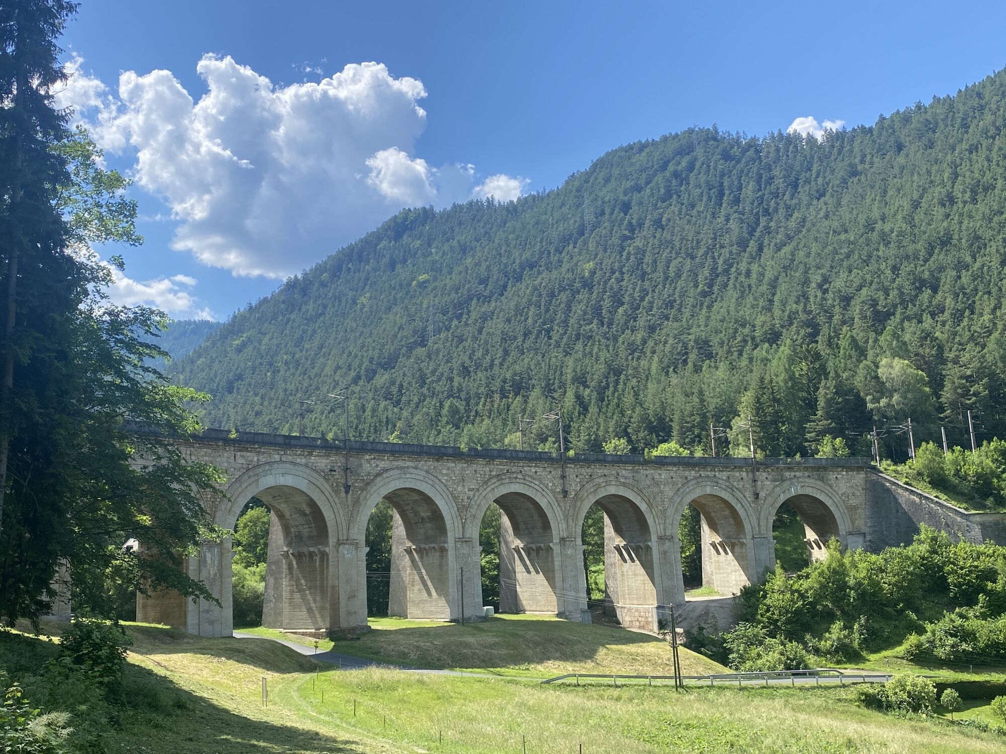
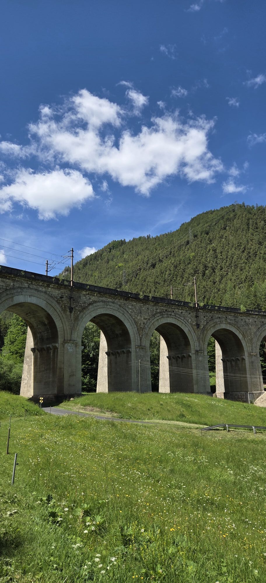
In the beginning, it was a trail that led over the Semmering Pass—there is evidence of this dating back to the Middle Ages. Then, in the early 18th century, Emperor Charles VI had a road built with a gradient of up to 17 percent, over which horses laboriously struggled with their loads. Finally, in 1841, the contract was awarded to build a railway line from Vienna to Trieste to meet the transportation needs of the nascent industrialization. By 1844, the task was “merely” to close the gap between Gloggnitz and Mürzzuschlag over the Semmering. Under the direction of Carl Ritter von Ghega, 20,000 workers ultimately built Europe’s first standard-gauge mountain railway, which has undergone only a few changes to this day. Along the 41-kilometer route, trains travel over 16 viaducts, 100 bridges, and through 15 tunnels. Since 1998, this “outstanding technical solution to a major physical problem in the construction of early railways” has been an UNESCO World Heritage Site.
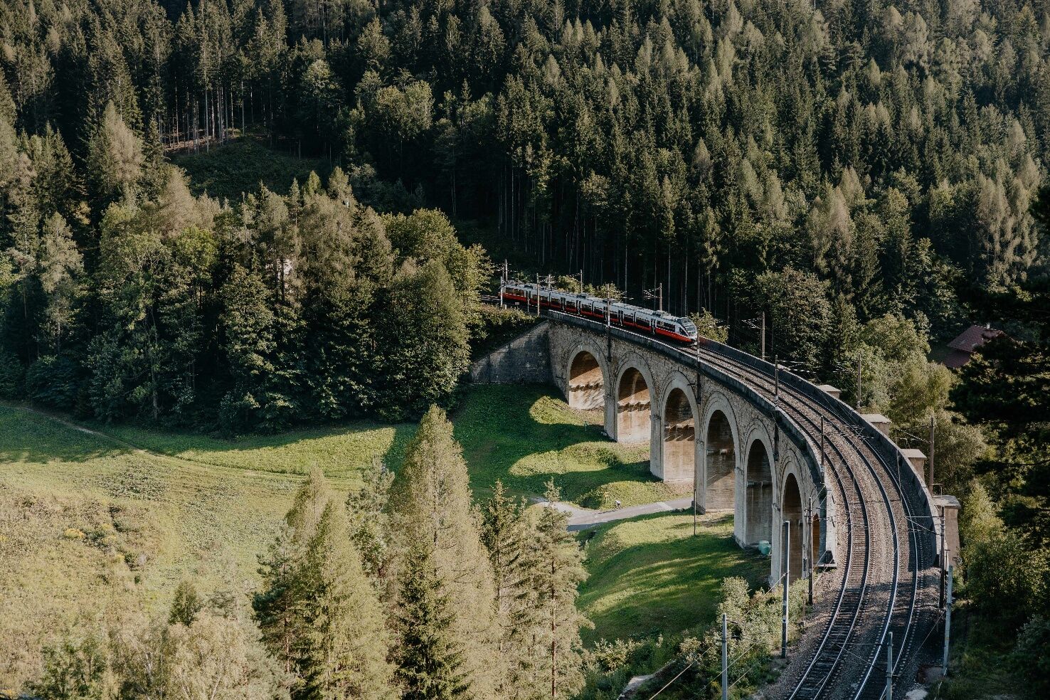
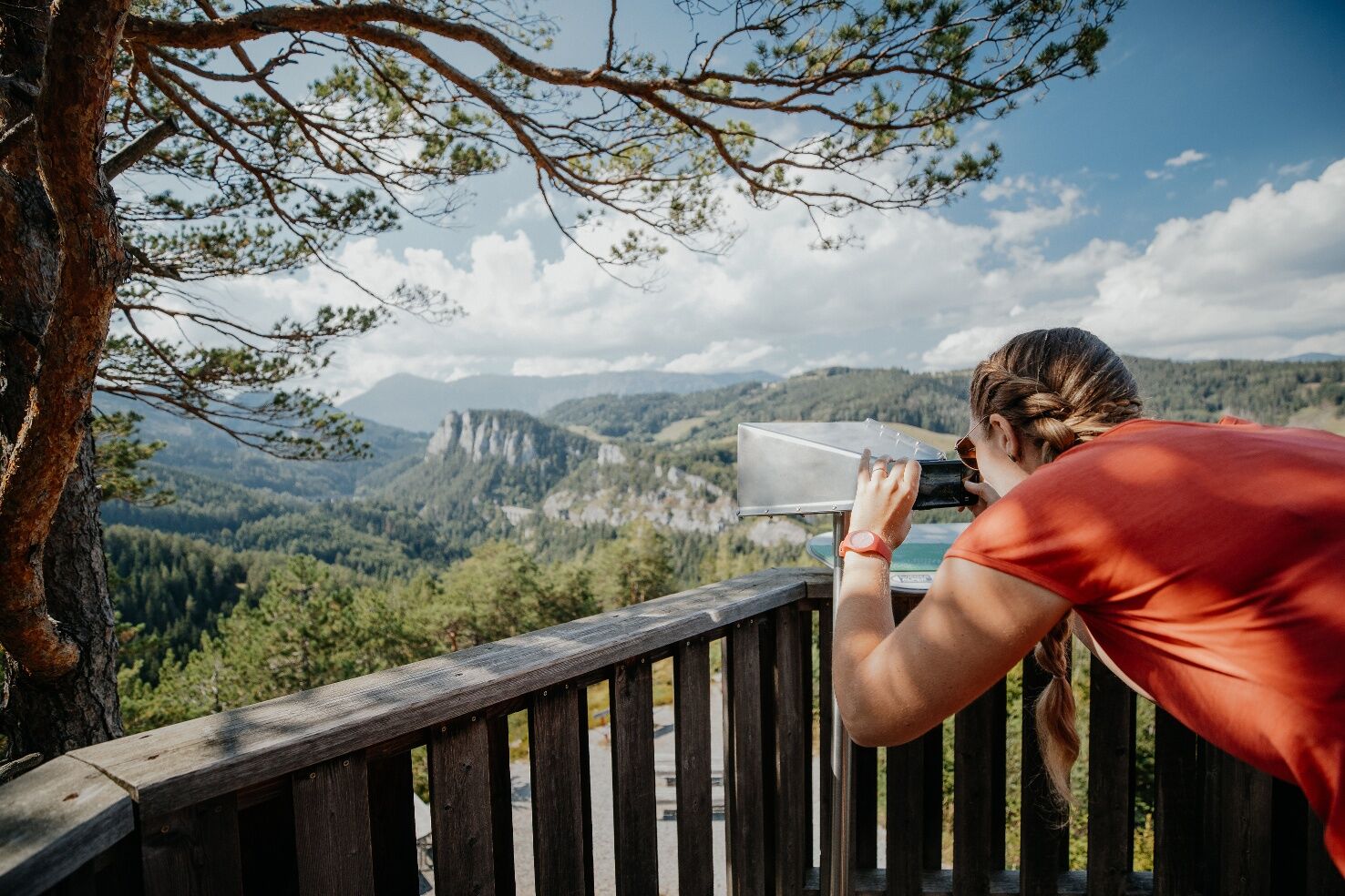
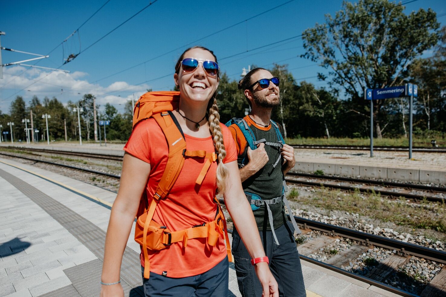

The hike starts at Semmering Train Station (895 m). From there, follow the railway track and pass the so-called "Children's Station" (playground) on the way to the Wolfsbergkogel train station (after about 1.5 km). The yellow signposts with the Bahnwanderweg logo consistently point the way toward Breitenstein.
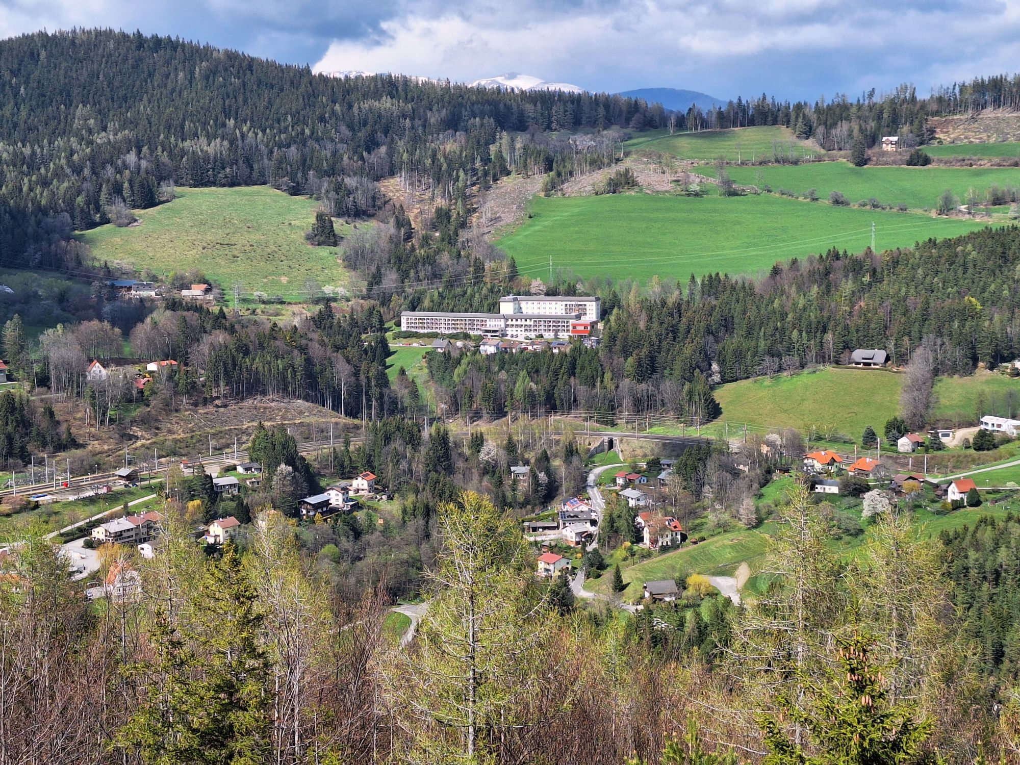
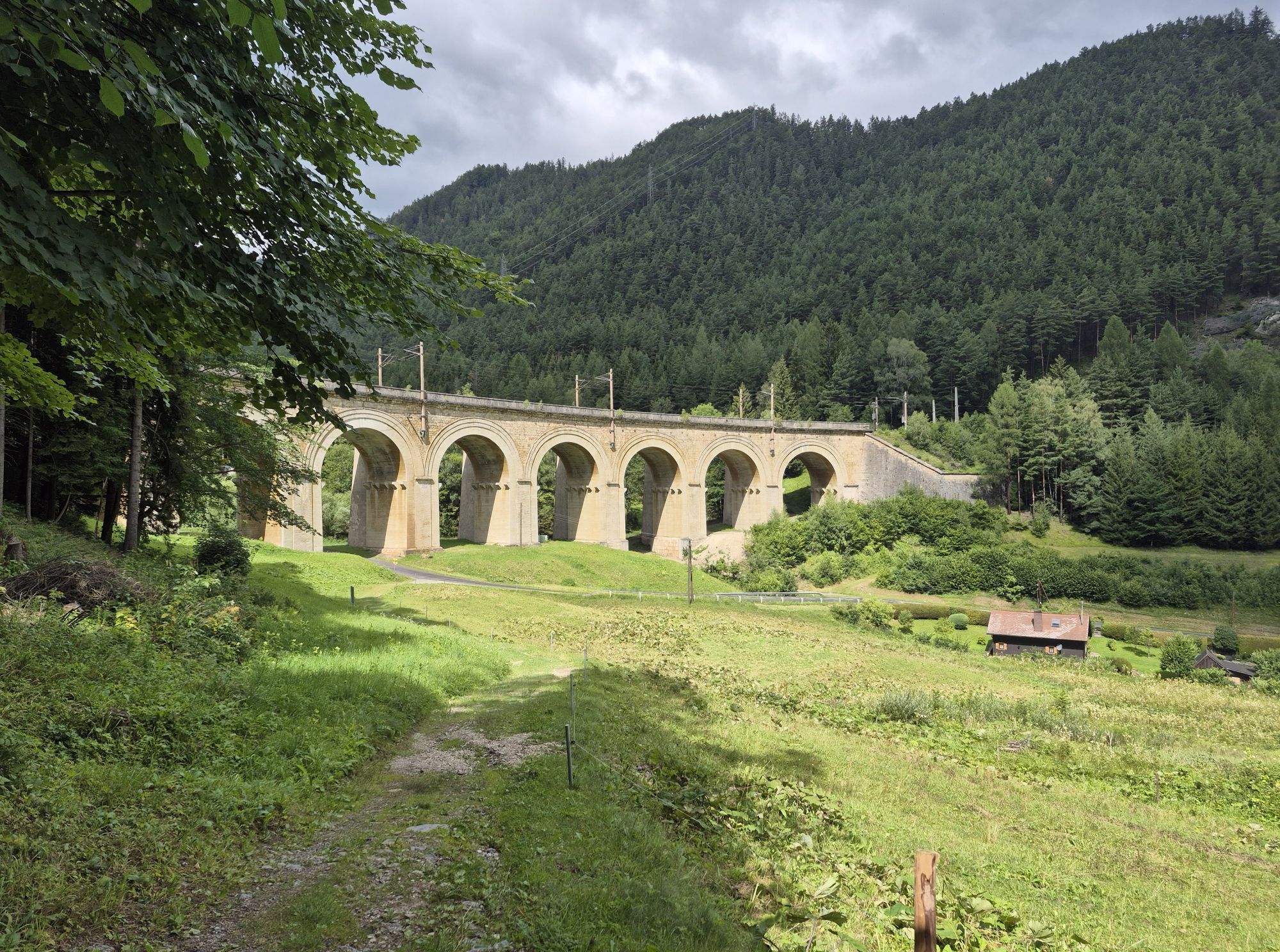
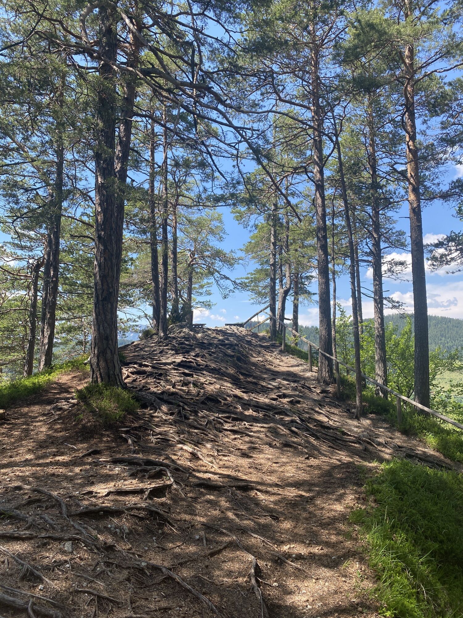
Shortly before reaching the Wolfsbergkogel station, there is an opportunity to admire the impressive Kartnerkogel Viaduct. The Bahnwanderweg then continues past the Kurhaus. After a short ascent, you reach the Doppelreiter observation tower at an altitude of 919 m.
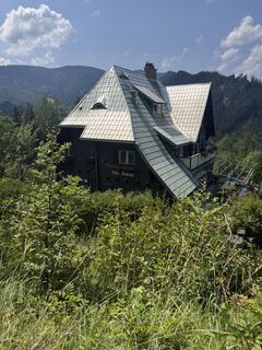
The next stop is the famous 20-Schilling View, a panorama that once adorned the 20-Schilling banknote. The path then runs through the forest, past several viewpoints and Villa Daheim. A short section must be covered on the road before reaching the Fleischmann Bridge. There is a photo spot there and you can visit the tools and work camp from the time of railway construction.
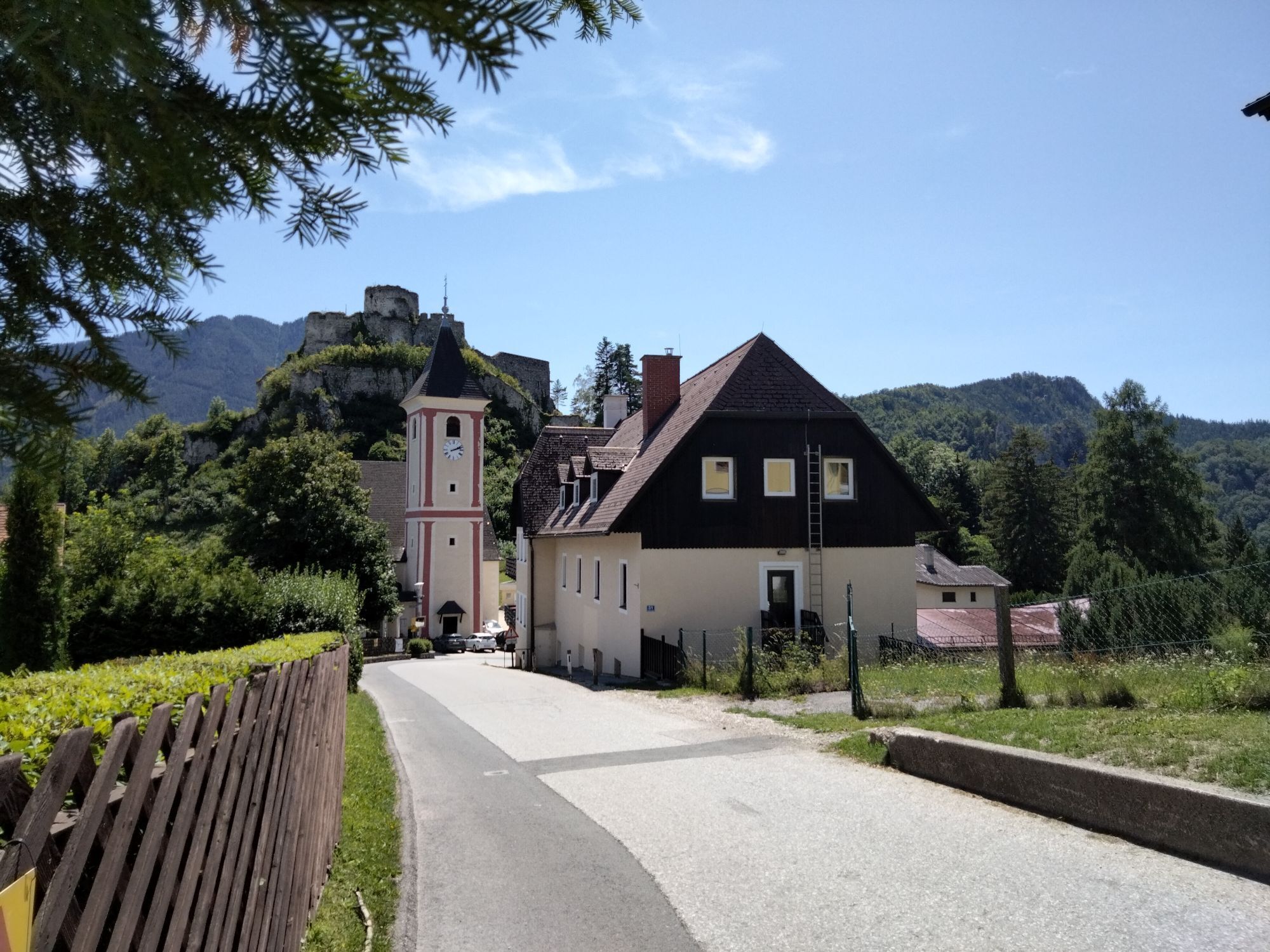
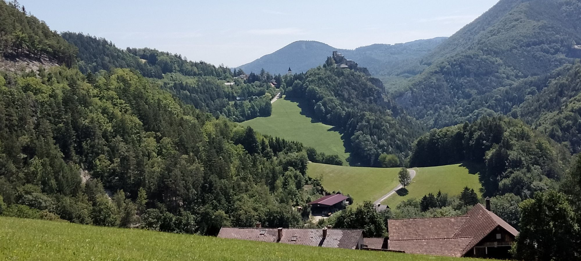
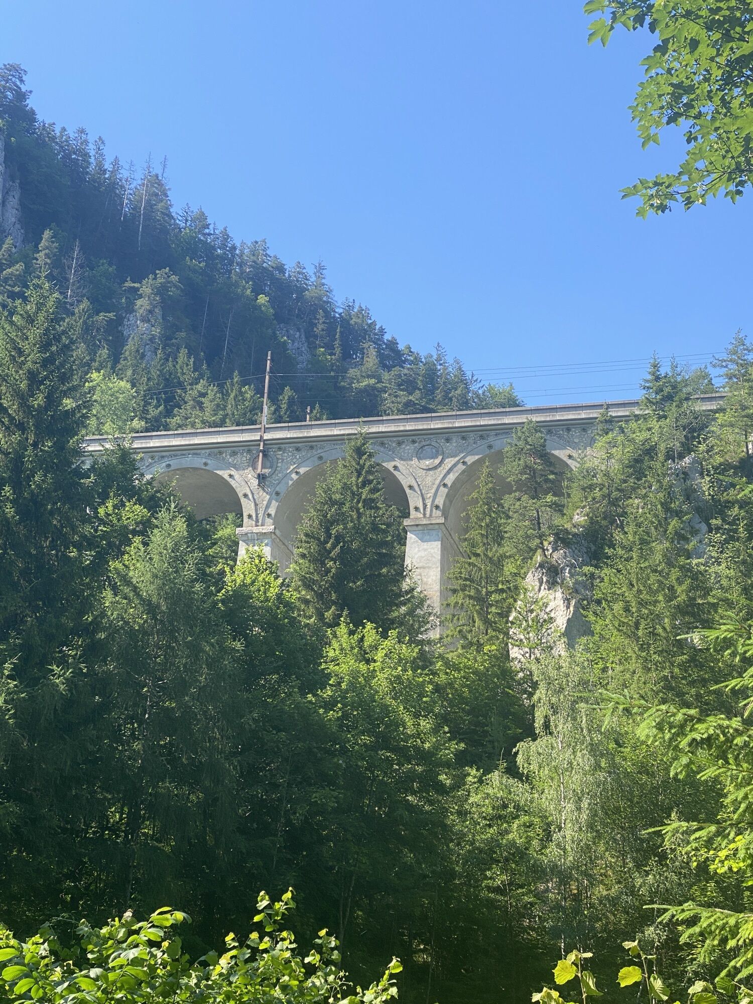
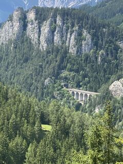
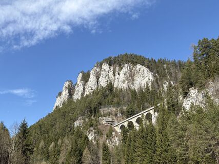
The path now climbs steeply over the Red Mountain to the impressive Kalte-Rinne Viaduct. The Ghega Museum is also located there. From here, turn right onto Kalte-Rinne Street and continue past the Krausel-Klause Viaduct into the village of Breitenstein past the Blunzenwirt. At the bridge, the forest path on the left leads up to Breitenstein train station.
Shortly before Breitenstein station, turn into Linden Street at the municipal office, which later becomes a forest path. From here, always follow the signs towards Klamm train station.
At the next fork, you meet an asphalted road again. Follow this uphill. To the right is a playground with a locomotive. Continue along the Lower Railway Street, which eventually turns into a forest road.
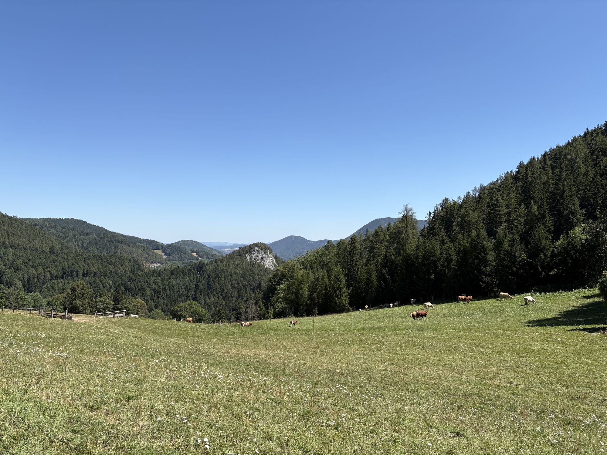
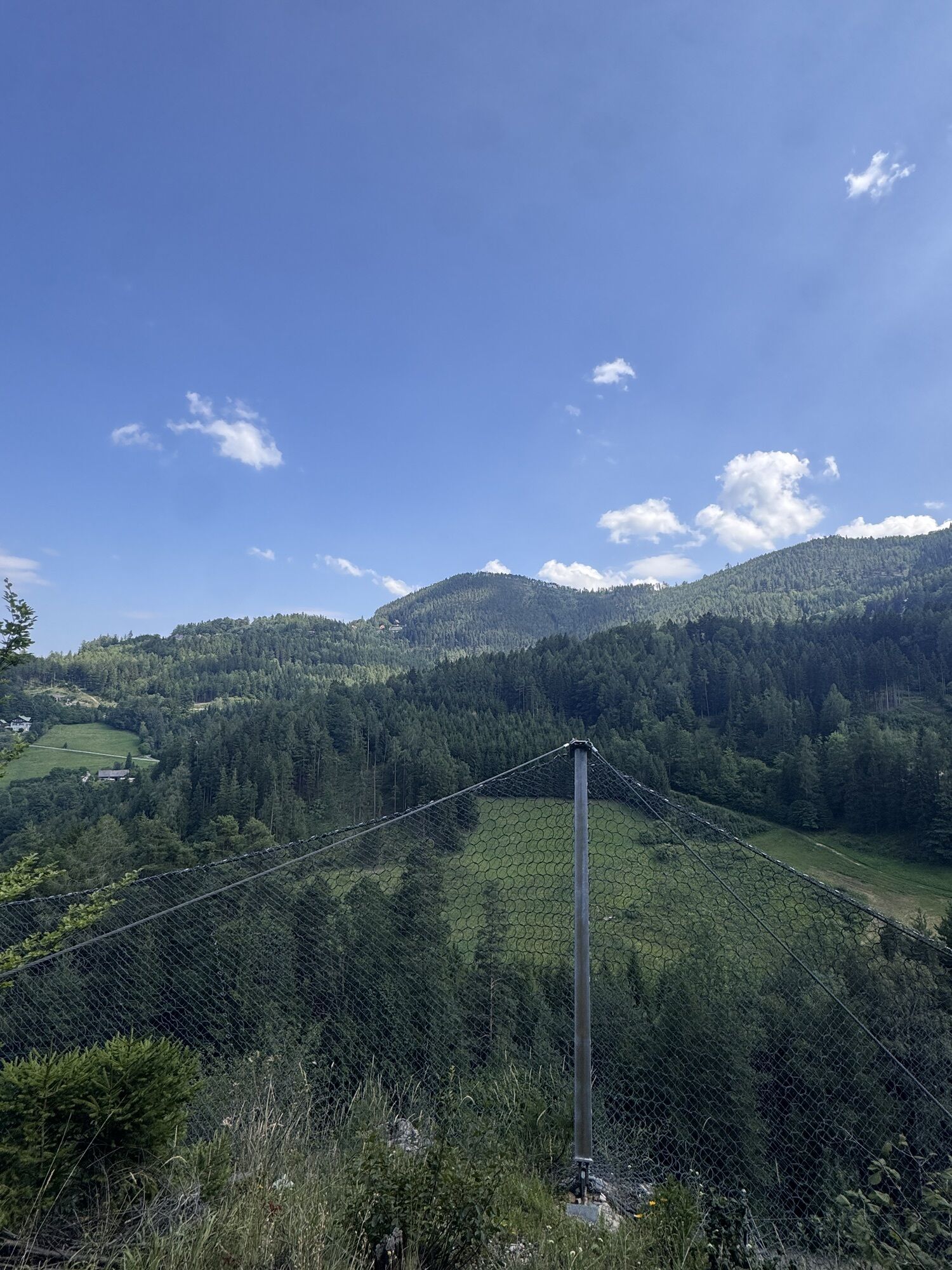
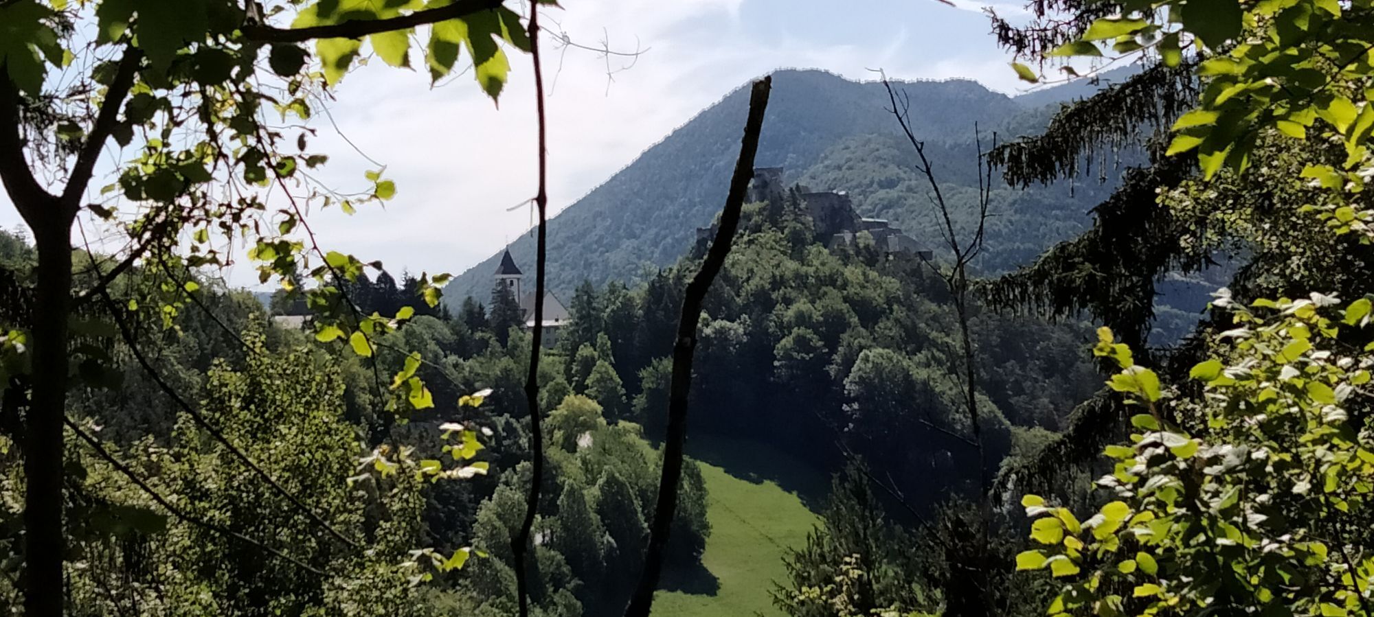
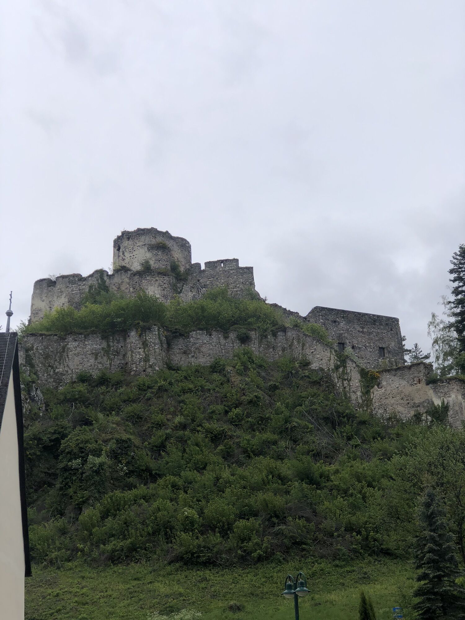
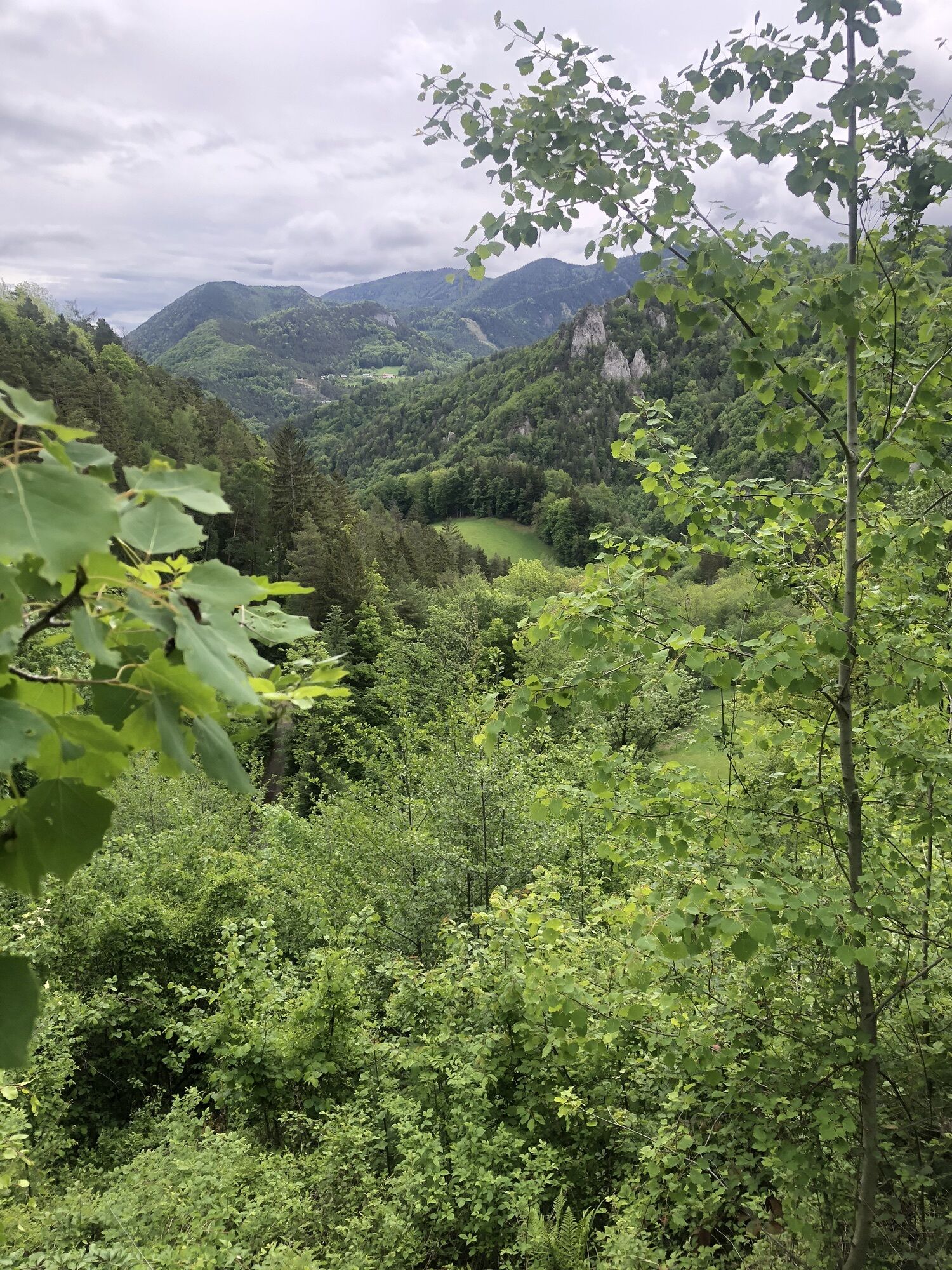
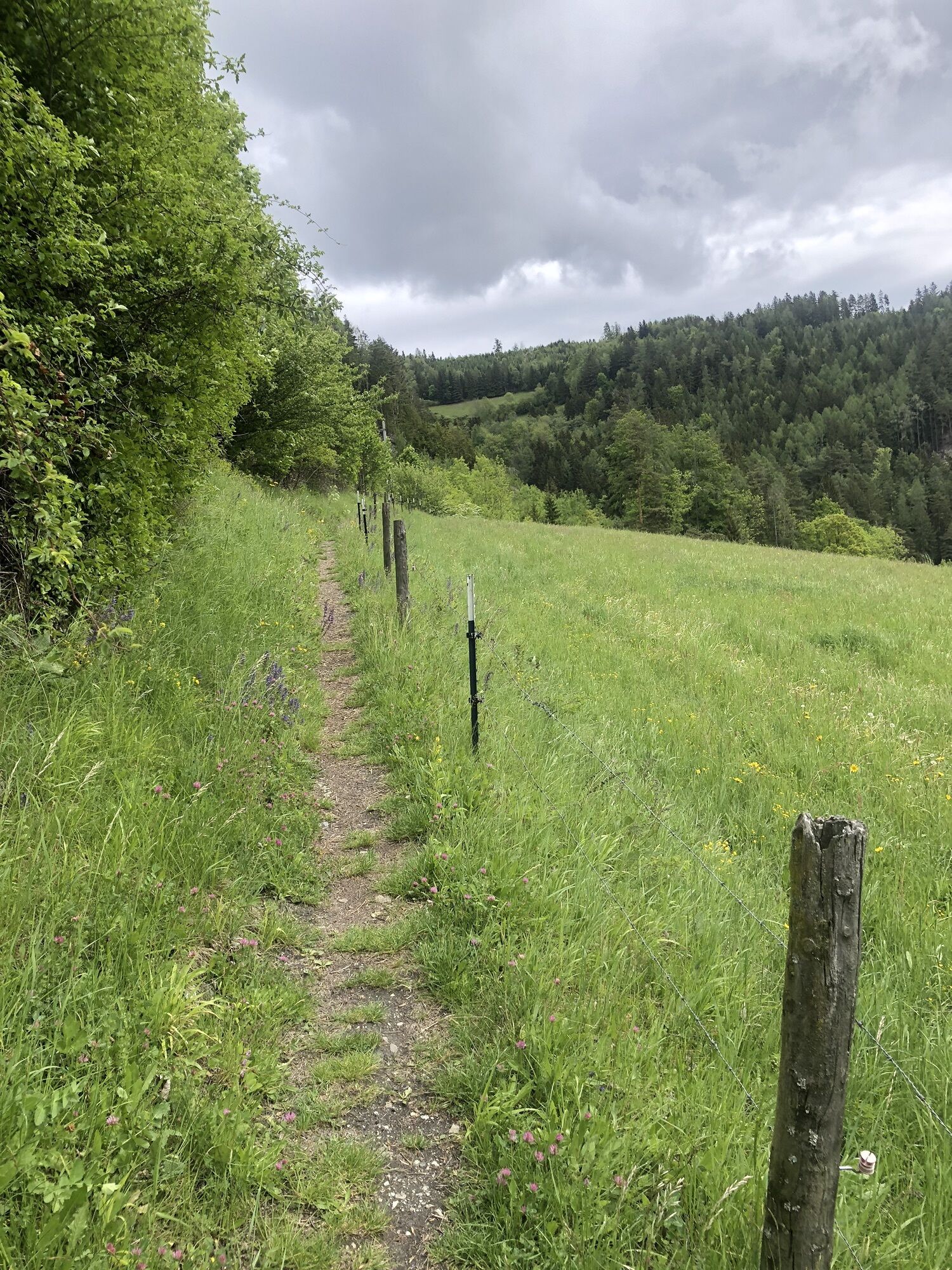
At the end of this forest road, there is the possibility to hike right across a meadow to the Weinzettl Wall. There, two viewpoints offer impressive views of Klamm, Breitenstein, Semmering, and the famous Semmering railway. Please show respect to the grazing animals when crossing the meadow.
Then follow Karl Schubert Street to the Blue Cut. There, follow the road downhill to the right. Then always stay on the forest road. Keep left at the Rumpler Viaduct. Alternatively, you could take the Panorama route here to Klamm and stop for refreshments at the Polleres guesthouse or Alterhammerhof.
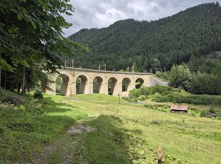
After the next railway underpass, turn left onto a meadow path also signposted towards Klamm train station. The path leads to the Gamperl Viaduct; here, too, follow the signs towards Klamm train station.
Walk down the forest road, then turn left through a wooden fence to continue. On this path you reach the Wagnergraben Viaduct. Cross the bridge and follow the steep path uphill. The path leads onto an asphalted road – the Musician's Path, which leads directly to the church in Klamm.
At the church, turn left up the street, then right into Deiningerweg, continuing towards Klamm train station. After the station, continue along the road to the Eichberg Street intersection. (The Panorama route also rejoins the Bahnwanderweg here.)
Opposite the Klammer Chapel, a blue-marked path starts towards Payerbach. From here, follow the Küb–Payerbach signs and the blue trail markers.
The initially asphalted road soon turns into a forest road. At the next intersection, follow the signposts towards Payerbach and Küb Post Office. After about 400 meters, the blue marking turns right onto a forest trail – but please continue to follow the forest road at this point.
This leads into Waldwinkel Street. At the next intersection, go slightly right straight ahead and continue on Waldwinkel Street. At the following fork, the path leads straight on along the yellow signposts with the Bahnwanderweg logo towards Payerbach.
The path now passes Küb Train Station and continues along the meadows on the blue-marked path towards Payerbach until reaching an underpass. Pass through it and then follow the path to the left.
The path becomes a road and leads – always following the blue marking – to the Payerbach municipal office. From there, cross the bridge and go straight on until shortly before Payerbach Train Station, where Bahnhofweg turns right uphill.
Always carry suitable maps. Wear sturdy shoes adapted to the route, bring sun and rain protection as well as water and a snack. Take your mobile phone and save the mountain rescue emergency number: 140.
Your hikes in the Vienna Alps should be a completely beautiful and safe experience.
Therefore, please note the following:
Make sure the chosen route matches your mountain experience and fitness level. Check the weather forecast in advance. Weather in the mountains can change unexpectedly fast. Always start appropriately equipped (suitable footwear, rain protection). Check whether the huts and snack stations you want to visit are open. Inform someone about your chosen route and estimated return time before you start. Stay on marked paths and avoid shortcuts. Due to dry conditions, meadows and forests can easily catch fire. Handle fire responsibly and report any possible fire immediately to the fire department (122). Do not litter and dispose of trash properly.
Some sections of the route run along pasture areas. Stay on marked trails and keep respectful distance from the grazing animals.
From Vienna, take the A2 South Motorway onto the S6 Semmering Expressway and take the Maria Schutz exit. Turn right onto L4168. Continue on Semmering/L4168 and Semmering Street. Turn right onto Bahnhof Street.
From Graz, take the S6 Semmering Expressway and take the Spital/Semmering exit. Turn left onto Semmering Ersatz Str./B306. Continue on B306. At the roundabout, go straight towards Semmering. Continue on Pass Road, which veers slightly right and becomes Semmering. Turn left onto Bahnhof Street.
Travel comfortably by Southern Railway to Semmering Train Station, where the hike begins.
Alternatively, book an individual ride with the Semmering-Rax RUFbus.
The following RUFbus stops are on the route:
109 Semmering Train Station
102 Semmering Golf Course
106 20 Schilling View hiking start
108 Wolfsbergkogel Train Station
95 Breitenstein Train Station
96 Breitenstein Municipal Office
101 Blunzenwirt
100 Kalte Rinne/Ghega Museum
88 Klamm Train Station
92 Blue Cut
93 Lower/Upper Railway Street
34 Payerbacherhof
35 Payerbach-Reichenau Train Station
36 Payerbach Outdoor Pool
Return journey:
Return either with the Semmering-Rax RUFbus to the starting point of the Bahnwanderweg or by train from Payerbach Train Station back home.
TIP: Simply use the Postbus Shuttle App or the hotline +43 660 900 88 22.
More information and timetables can be found at fahrplan.oebb.at and anachb.vor.at.
Free parking is available at Semmering railway station.
Refreshment options:
Ausschank Hinterholz 9, +43 664/ 1057229
Mostheuriger Kobermann (check opening dates in advance)
Mostheuriger Jeitler (check opening dates in advance)
Refreshment options at Semmering
Refreshment options in Breitenstein
Refreshment options in Payerbach
Information:
Vienna Alps in Lower Austria, www.wieneralpen.at, +43 / 2622 / 78960
Tourism office Semmering, www.semmering.at, +43 / 2664 / 20025
Visit the historic Küb Post OfficeThe information center at Semmering Train Station provides detailed information about the Semmeringbahn World Heritage Site (May to October).Collect feelings of happiness - collect hiking badges: collect the digital "Bahnwanderweg hiking badge".Panorama route with refreshment stops over KreuzbergChildren's locomotive in Breitenstein



Spletne kamere s turneje
Pridobite vpogled
Vedno v živo na mestu z več kot 9.500 spletnimi kamerami. bergfex Kot uporabnik Pro si lahko zdaj ogledate ustrezne spletne kamere za številne izlete v aplikaciji izleti iz. Tako si lahko neposredno ogledate trenutne razmere.
Dejavnosti na poti
-

Semmering, Niederösterreich/Österreich
08.08.2026 – Pohodništvo -

Semmering, Lower Austria/Austria
08.08.2026 – Pohodništvo -
Breitenstein, Niederösterreich/Österreich
02.08.2026 – Pohodništvo -
Semmering, Lower Austria/Austria
25.07.2026 – Pohodništvo -
Semmering, Niederösterreich/Österreich
25.07.2026 – Pohodništvo -

Bahnwanderweg Semmering Breitenstein
24.07.2026 – Pohodništvo -
Semmering, Niederösterreich/Österreich
21.07.2026 – Trailrunning -

Semmering Wandern
28.06.2026 – Gorski pohodništvo -
Semmering, Niederösterreich/Österreich
25.06.2026 – Pohodništvo -

Semmering, Niederösterreich/Österreich
23.06.2026 – Pohodništvo -
Von Semmering nach Breitenstein, Niederösterreich/Österreich
21.06.2026 – Pohodništvo -

Semmering - Kurort, Lower Austria/Austria
06.06.2026 – Pohodništvo -

Semmering - Kurort, Niederösterreich/Österreich
04.06.2026 – Pohodništvo -

Semmering, Niederösterreich/Österreich
31.05.2026 – Pohodništvo -

Semmering, Niederösterreich/Österreich
30.05.2026 – Pohodništvo -
Weinzettlwand, Niederösterreich/Österreich
25.05.2026 – Pohodništvo -
Semmering - Kurort, Niederösterreich/Österreich
25.05.2026 – Pohodništvo -
Semmering, Niederösterreich/Österreich
13.05.2026 – Pohodništvo -

Semmering, Niederösterreich/Österreich
12.04.2026 – Pohodništvo -

Breitenstein -> Semmering, Lower Austria/Austria
05.04.2026 – Pohodništvo
Priljubljeni izleti v okolici
-
4.6
Losenheim: Edelweißhütte - Fadensteig - Fischerhütte
srednjaPohodništvo 11.5 km -
4.7
Zahnradbahn und Wandern am Schneeberg - Plateauwanderung
srednjaPohodništvo 6.90 km -
3.8
Schwaigen Rundwanderung
svetlobaPohodništvo 8.24 km -
4.8
Cultural walk Payerbach-Reichenau
svetlobaPohodništvo 7.43 km -
4.8
Rax - Heukuppe
Pohodništvo 15.6 km -
5.0
"Weichtalklamm" über Stock und Stein durch das Höllental - Weichtalhaus - Kientallerhütte 1340m
srednjaPohodništvo 14.0 km -
5.0
Insider tip: Schneeberg via the Novembergrat
težkoPohodništvo 13.5 km -
4.9
"Über den höchsten Nieder-Ösi" - Schneeberg - Weichtalklamm - Klosterwappen - Stadlwandleiten
srednjaPohodništvo 17.7 km -
4.9
Reißtalersteig und Gretchensteig
težkoPohodništvo 8.10 km -
4.9
RAX Runde
svetlobaPohodništvo 19.6 km

Pohodništvo in sledenje


Ne zamudite ponudb in navdiha za naslednje počitnice
Vaš e-poštni naslov je bil dodan na poštni seznam.





