






Rund um den Golfplatz
The parish church dedicated to St. Pancratius originated from a castle chapel. The first documented mention of the village (1133/38) seems to have marked the beginning of more intensive settlement. As...
The parish church dedicated to St. Pancratius originated from a castle chapel. The first documented mention of the village (1133/38) seems to have marked the beginning of more intensive settlement. As there was no space for further development on the church hill, the settlement began to develop along the Bachsenke. Prangerplatz emerged as a further focal point with the acquisition of the district court (around 1602). At that time, the old market fortifications probably already existed, the remains of which are still preserved today in the so-called Biritor. The town and the castle in particular are closely linked to the history of modern art in Austria. The Hauer-Fruhmann family of artists acquired Lengenfeld Castle in 1970 and turned it into a center of modern art.
The wine cellar lanes typical of the wine-growing regions should not be forgotten. The two largest are Dornergasse and Heiligengasse (actually Johannesgasse). Others include Annagasse, Kollerweg and Mühlfeldgasse.

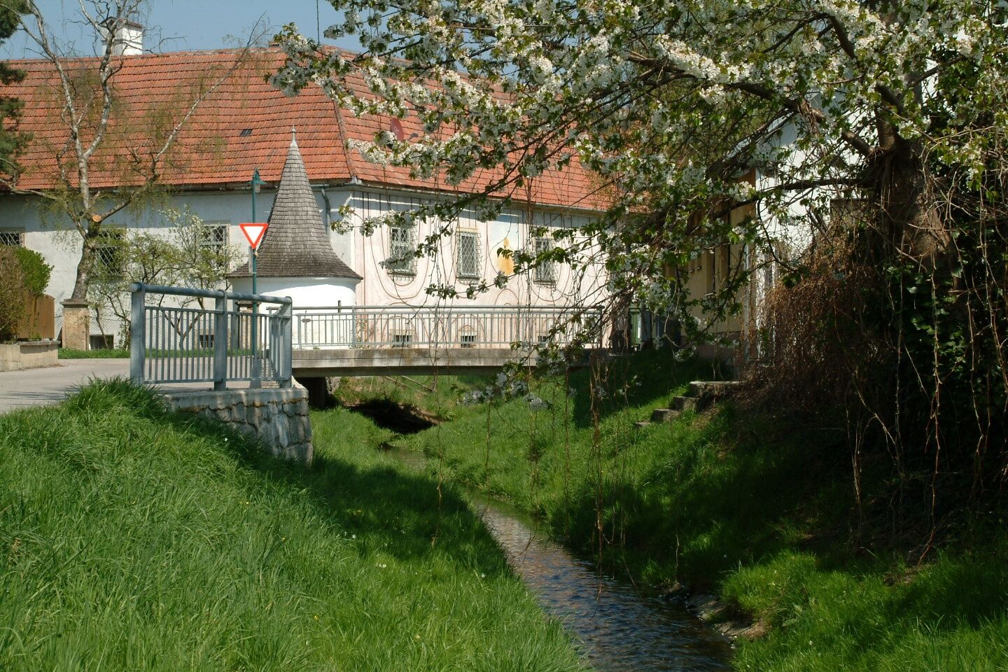

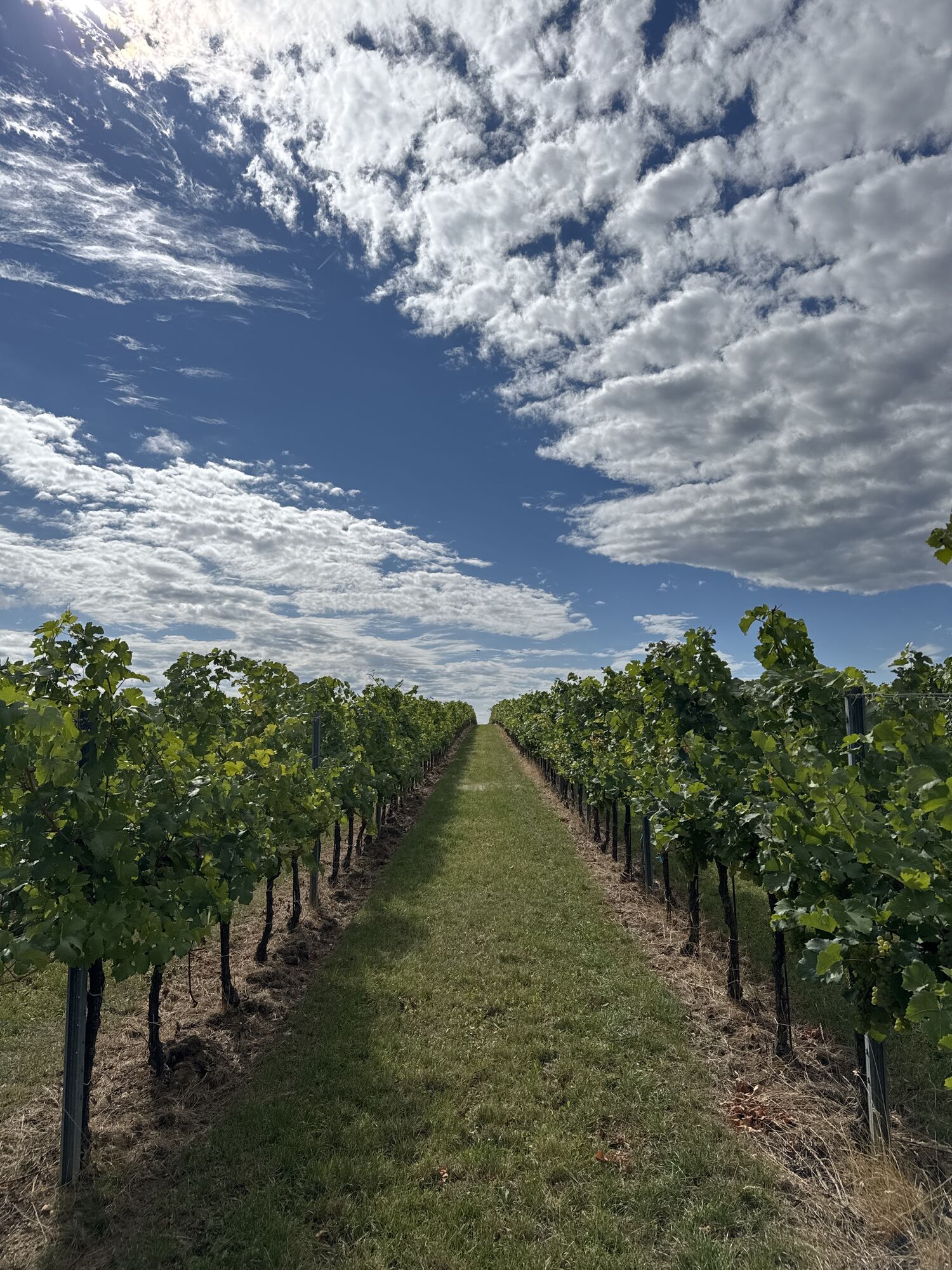
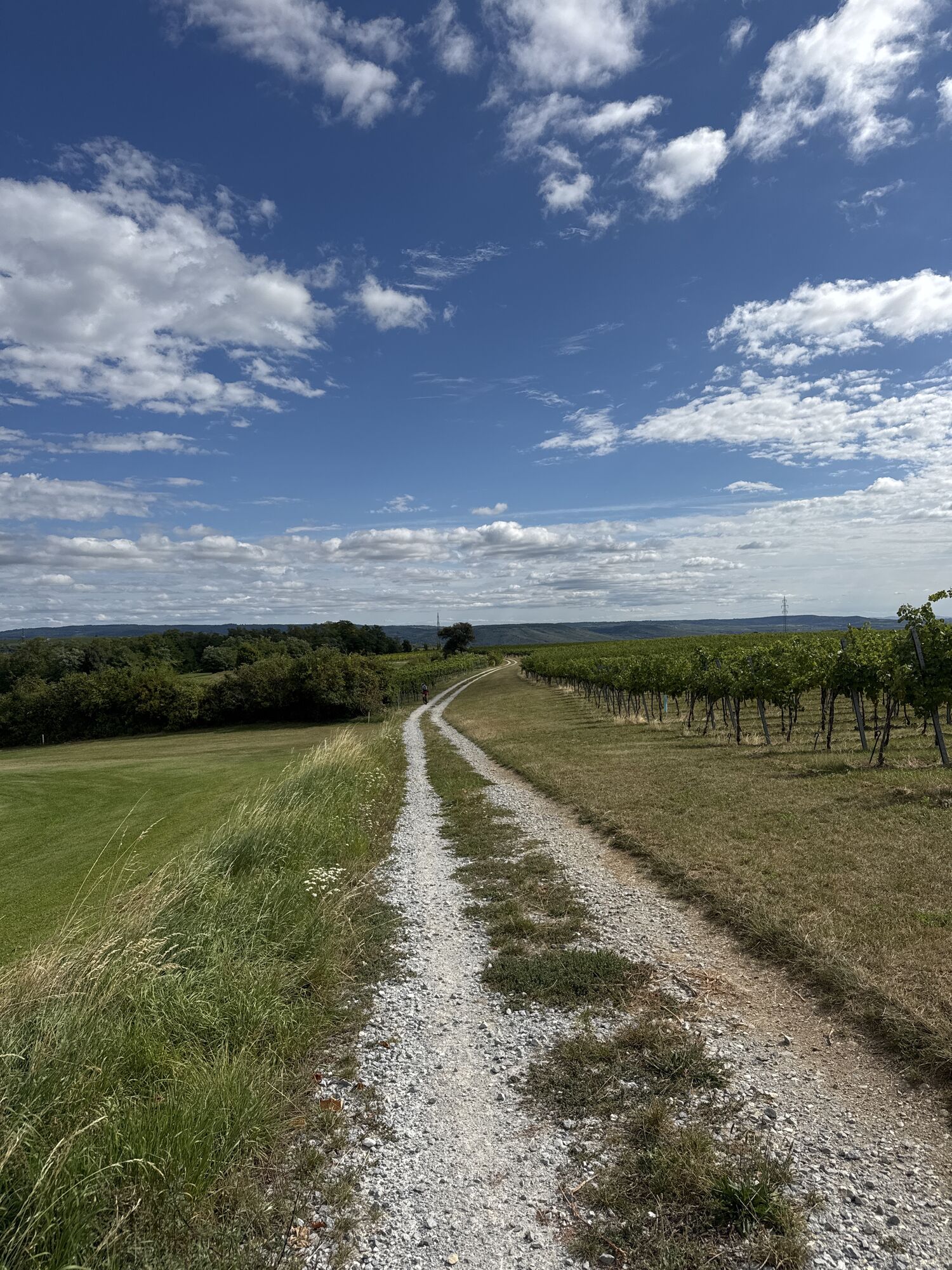
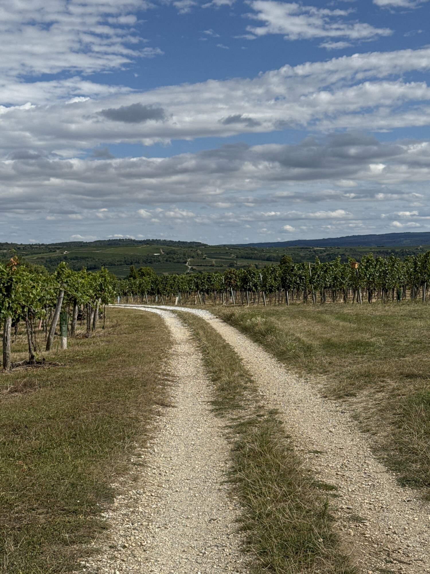
Ausgangspunkt ist das Gemeindeamt. Folge den Pfeilen durch eine enge Gasse, dann biege nach links ab und gehe den Sirnitzbach entlang. Nach etwa 700 m siehst du vor dir Schloss Lengenfeld. Biege rechts in die Röhrbrunngasse ein, gleich darauf führt der Weg nach links, vorbei an der „Kapelle im Letten“ bis zum Feuerwehrhaus. Gehe hinter dem Feuerwehrhaus vorbei und den steil bergauf durch den Golfplatz (Vorsicht!) führenden Weg entlang. Am Ende des Anstieges folge den Pfeilen nach links. Es beginnt nun eine gemütliche Wanderung entlang des Golfplatzes und der Rieden „Sand“ und „Fuchsloch“. Nach etwa 1000 m querst du die Gemeindegrenze zu Langenlois, nach weiteren 1000 m mündet ein von Langenlois kommender Weg ein. Folge nun dem Weg nach links, weiter an den Ausläufern des Golfplatzes vorbei. Nach ca. 500 m führt der Weg durch einen Wald. Folge nun wieder den Pfeilen. Es geht den Auberg steil hinab, zurück zum Feuerwehrhaus und weiter in die Röhrbrunngasse. Gehe entweder durch den Ort, vorbei am Schloss und an der Statue des heiligen Nepomuk, wo du links in die Langenloiserstraße einbiegst, oder wieder den Bach entlang zurück zur Gemeinde.
Wien – Stockerau – Fels am Wagram – Langenlois – Lengenfeld
Linz – St. Pölten – Krems – Gneixendorf – Lengenfeld
Marktgemeinde Lengenfeld
Langenloiser Straße 13
3552 Lengenfeld
T 02719/23 65, F DW 14
gemeinde@lengenfeld.at
www.lengenfeld.at
WALDVIERTEL Tourismus
3910 Zwettl, Sparkassenplatz 1/2/2
(T) +43(0)2822/54109, Fax DW 36
Gebührenfrei im Inland:
(T) +43(0)800/300 350
(E) info@waldviertel.at
(I) www.waldviertel.at
Pridobite vpogled
Vedno v živo na mestu z več kot 9.500 spletnimi kamerami. bergfex Kot uporabnik Pro si lahko zdaj ogledate ustrezne spletne kamere za številne izlete v aplikaciji izleti iz. Tako si lahko neposredno ogledate trenutne razmere.
Priljubljeni izleti v okolici
-
4.5
Welterbesteig Wachau 02: Dürnstein-Weißenkirchen
svetlobaPohodništvo v daljavo 15.9 km -
4.5
Welterbesteig Wachau 01: Krems-Dürnstein
svetlobaPohodništvo v daljavo 12.3 km -
4.9
Vogelbergsteig -Kanzel- Fesselhütte - Ruine Dürnstein zum Heurigen in Furth
srednjaPohodništvo 7.59 km -
4.7
Wachau: Seekopf - Hirschwand
srednjaPohodništvo 10.4 km -
4.7
Rundhöhenwanderweg Weißenkirchen in der Wachau - Schildhütten - Cholerakreuz - Weißenkirchen
svetlobaPohodništvo 8.75 km -
4.6
Krems (Welterbesteig) - Dürnstein - Vogelbergsteig - Kanzel - Fesslhütte - Krems
srednjaPohodništvo 18.0 km -
4.5
Panoramaweg Weissenkirchen
svetlobaPohodništvo 5.04 km -
4.4
Wachauer Marillenerlebnisweg, Krems-Angern
svetlobaPohodništvo 6.04 km -
4.7
Wine and Water Round to the Kamptalwarte on Heiligenstein, no. 65
srednjaPohodništvo 9.93 km -
4.8
Wachau: Panoramaweg Rossatz
svetlobaPohodništvo 10.8 km

Pohodništvo in sledenje


Ne zamudite ponudb in navdiha za naslednje počitnice
Vaš e-poštni naslov je bil dodan na poštni seznam.





