






Wanderregion Anninger: Vom Bhf. Guntramsdorf-Thallern zur Wilhelmswarte und zurück

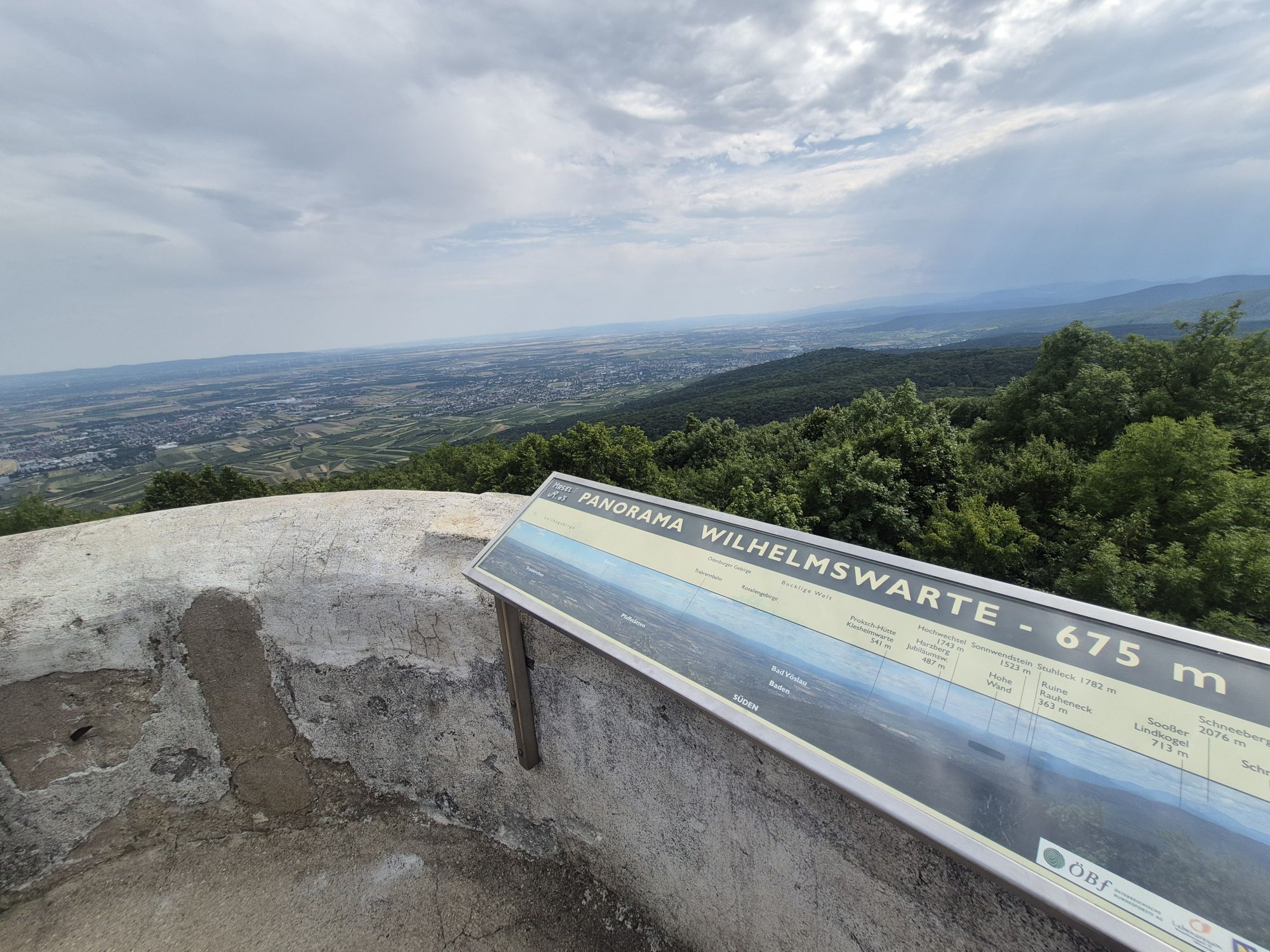
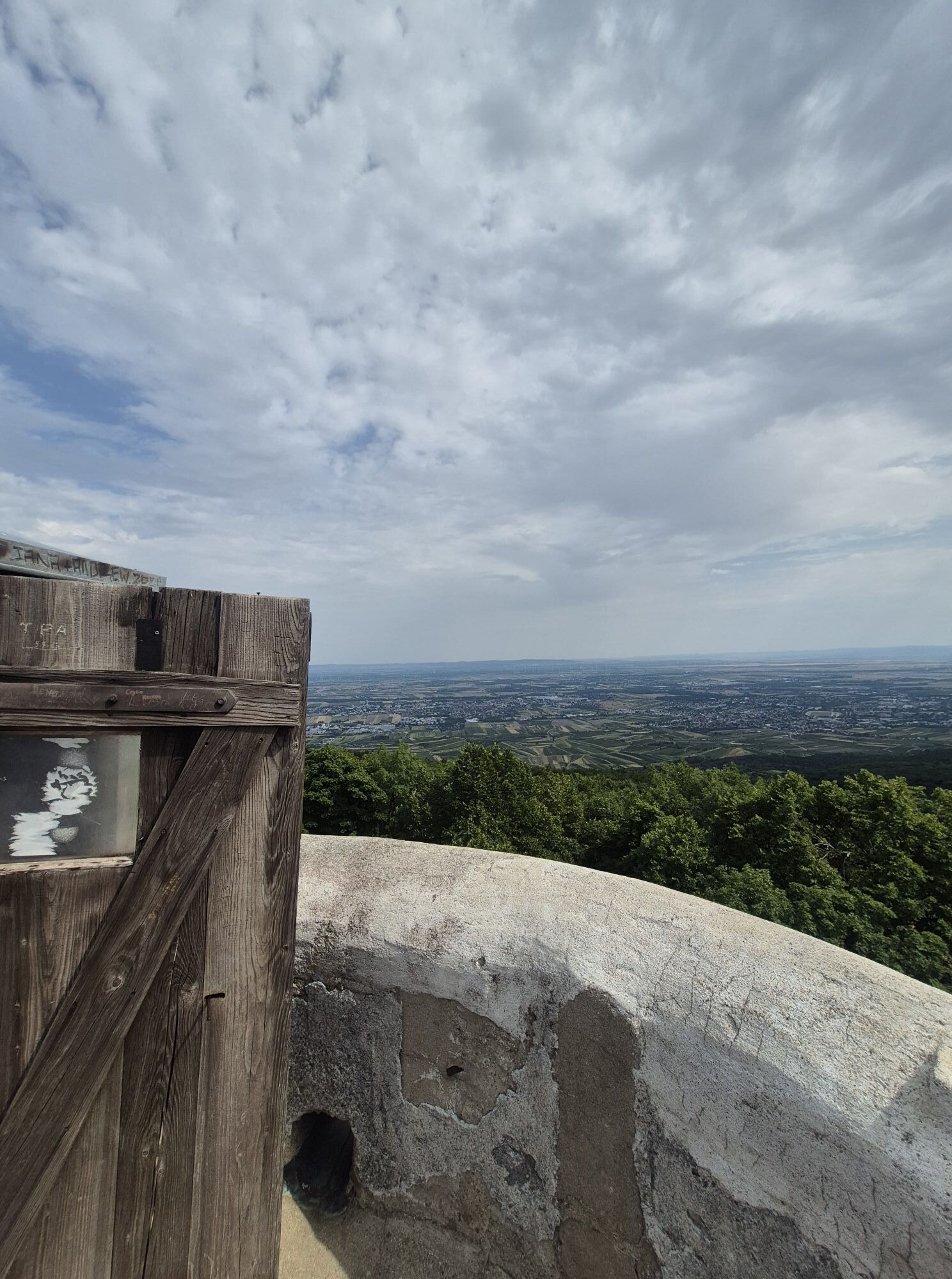
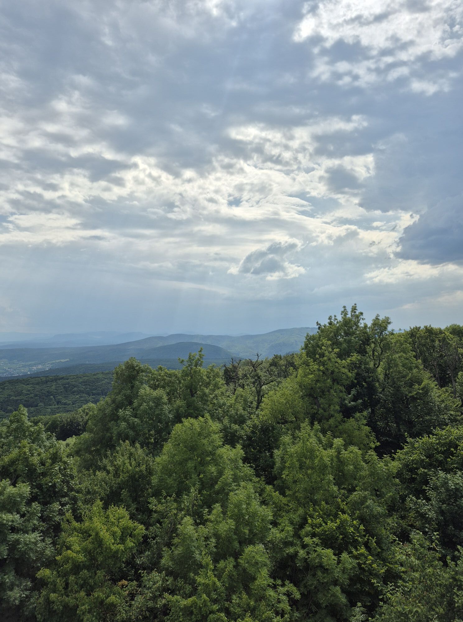
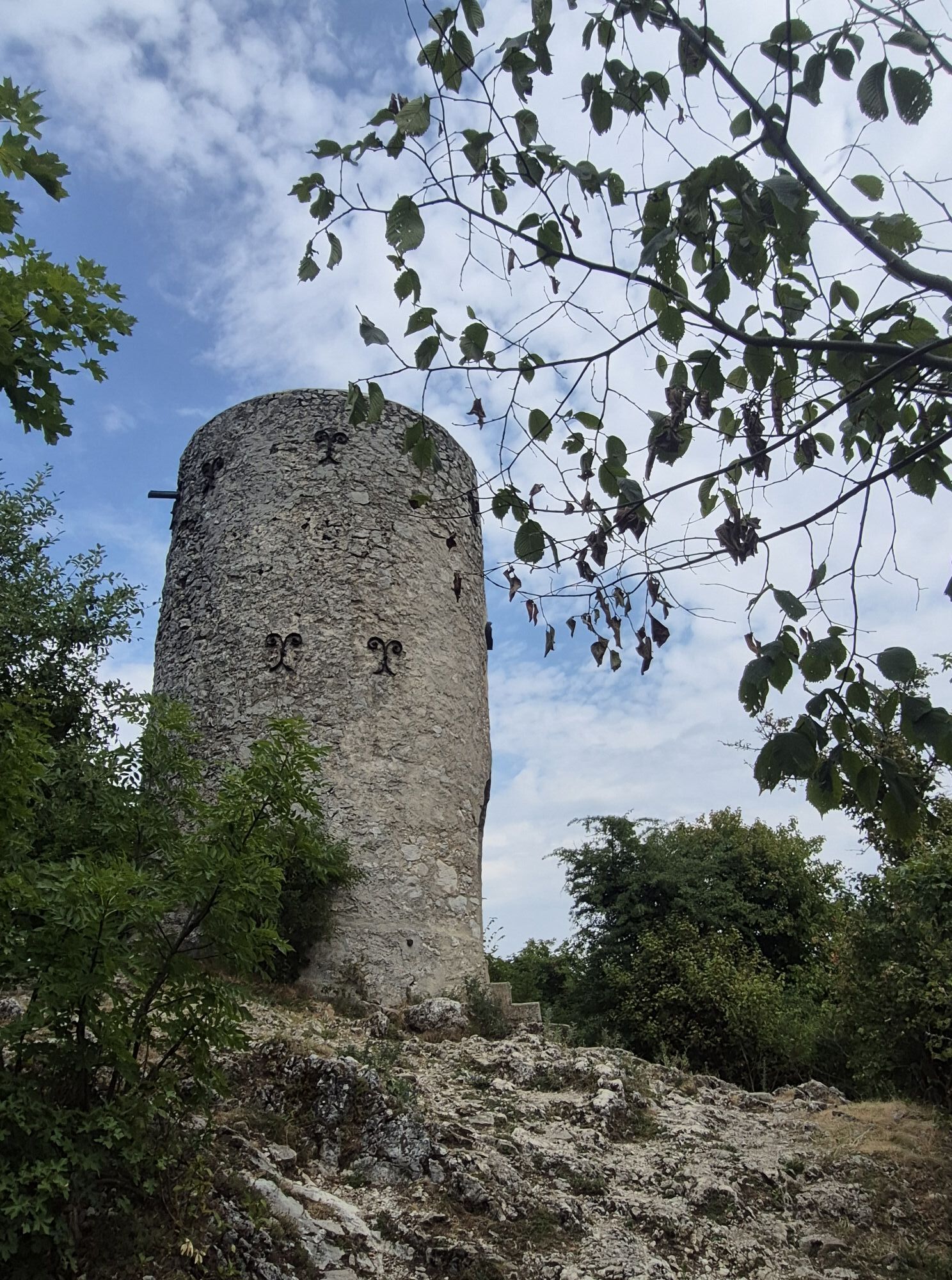
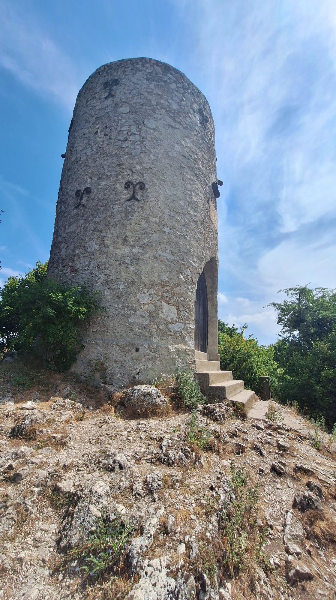
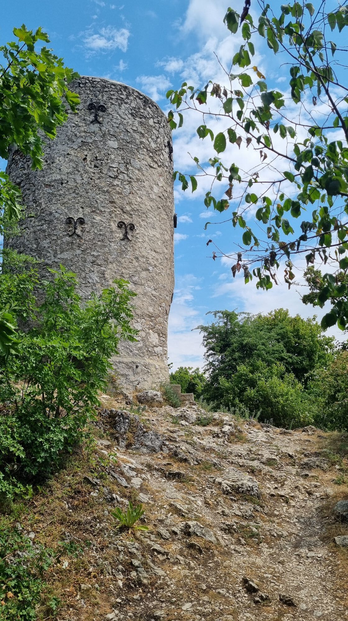
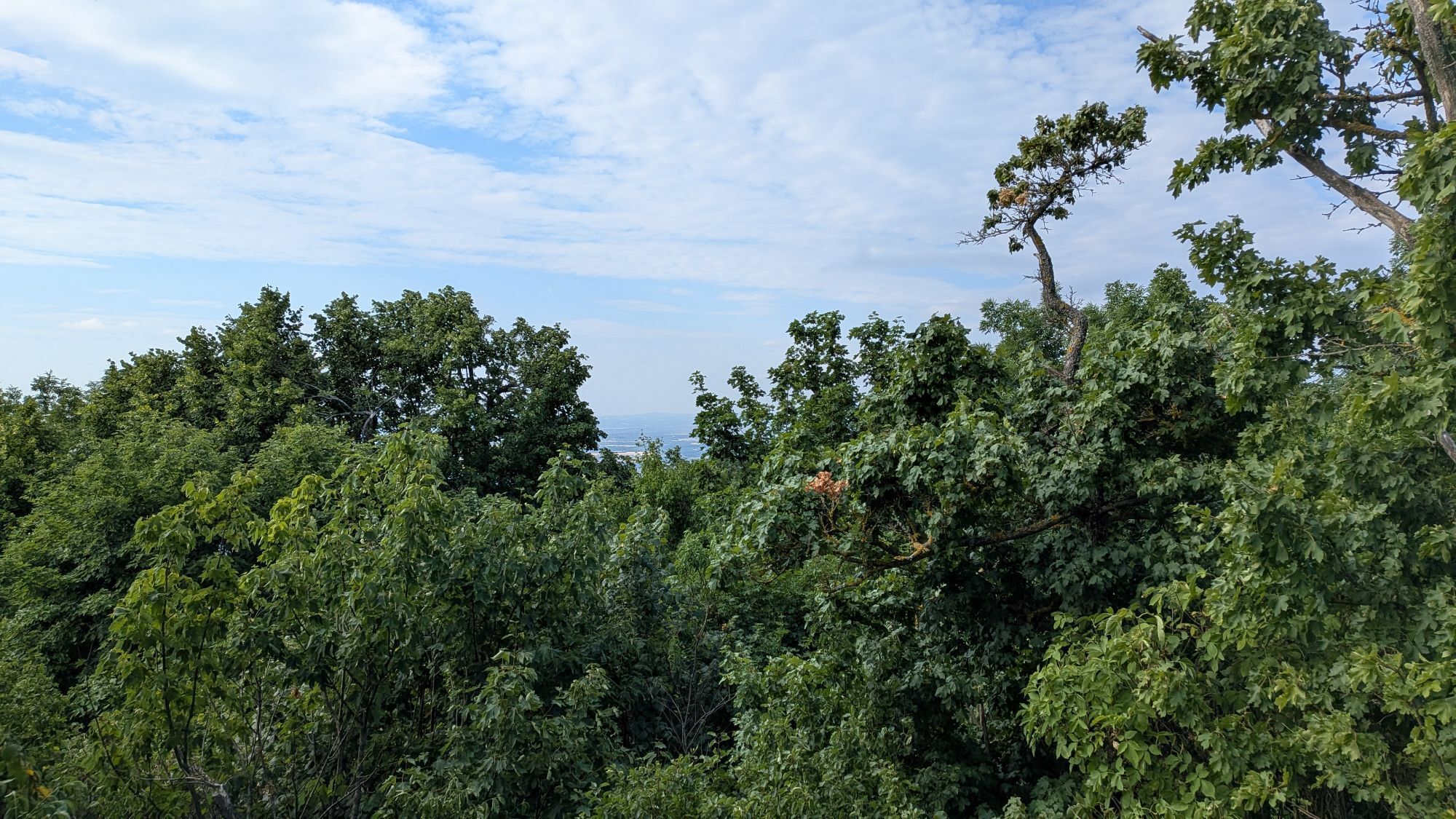
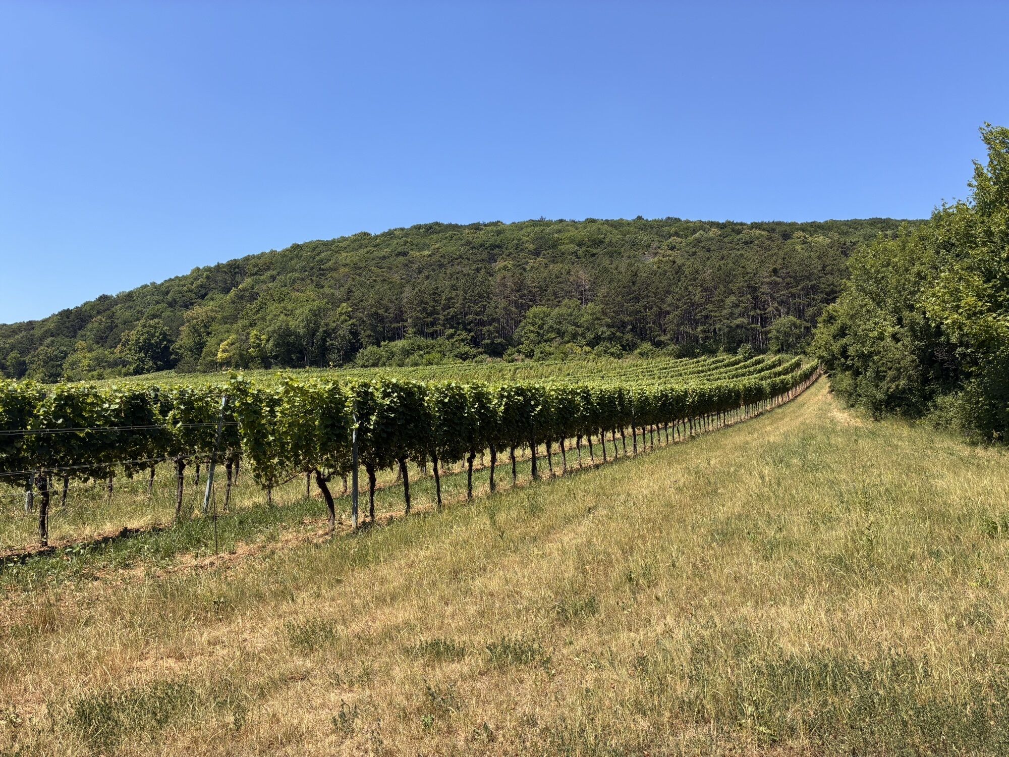
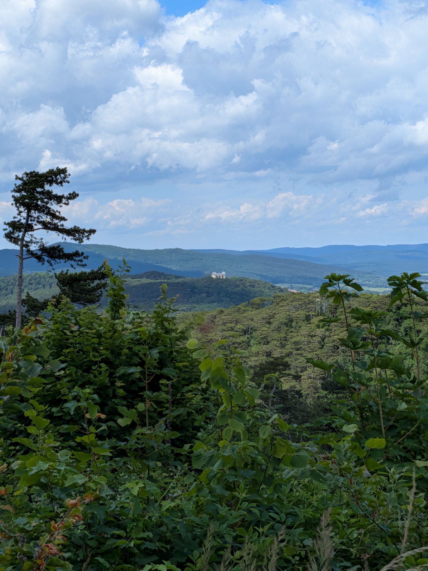
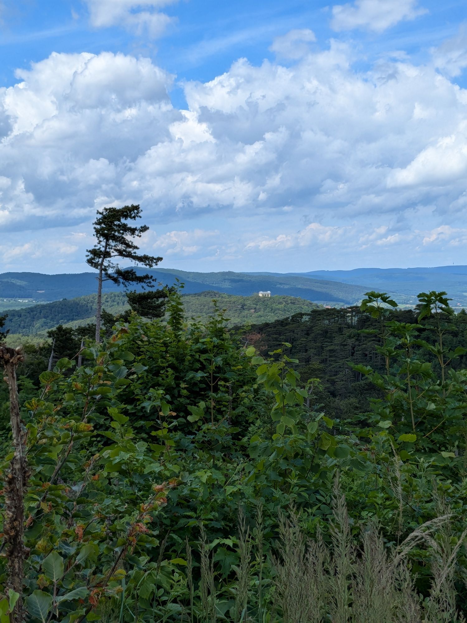
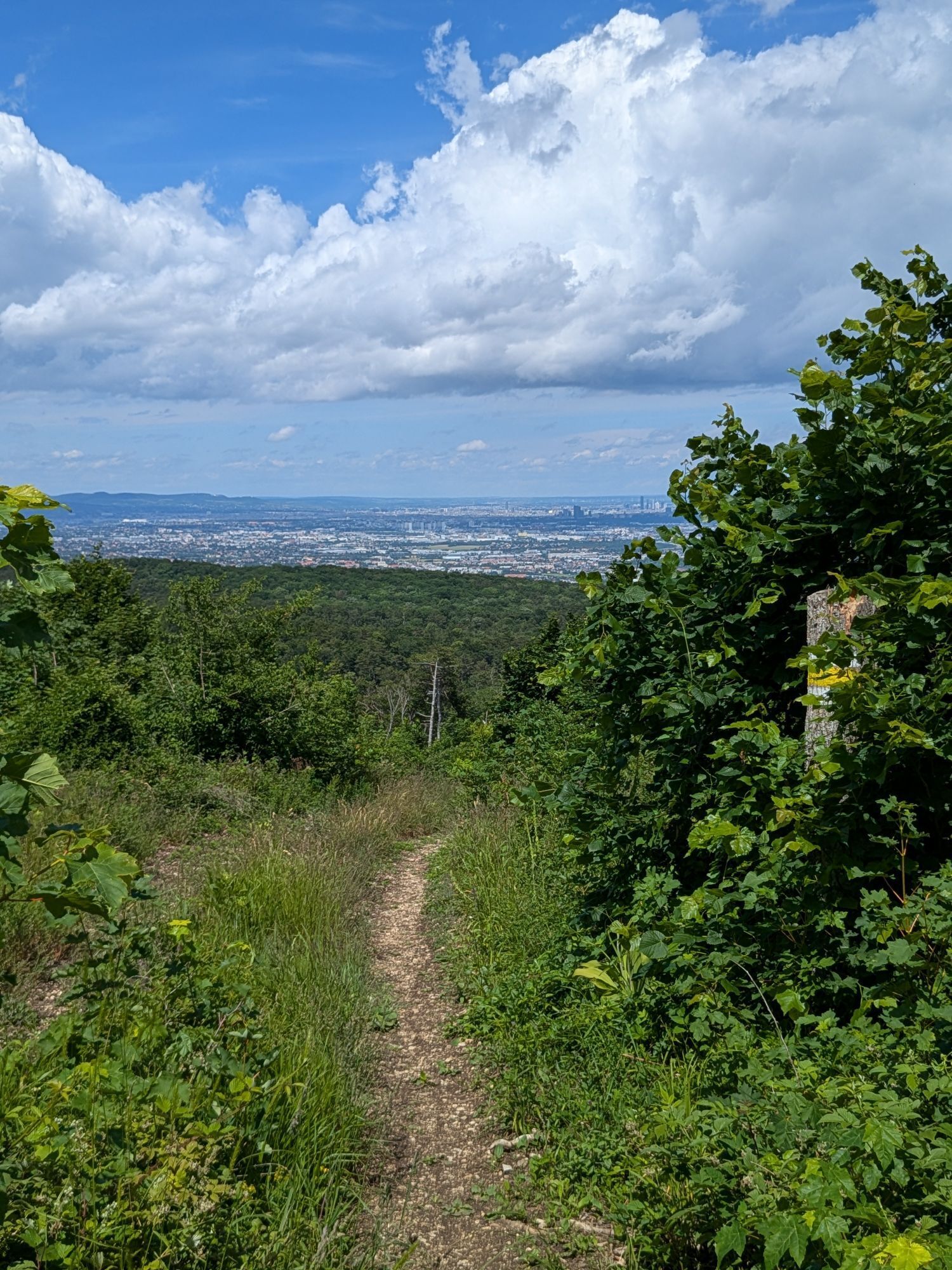
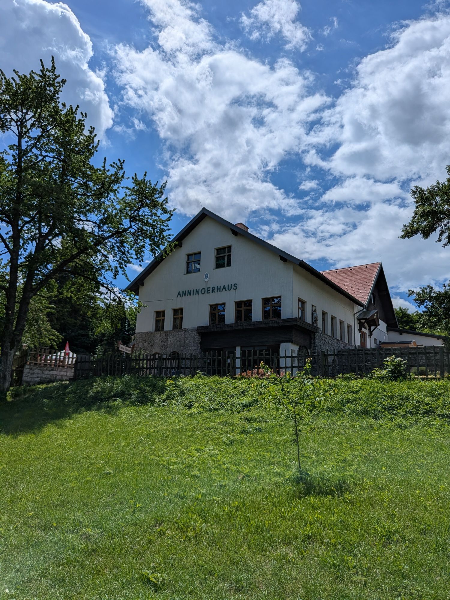
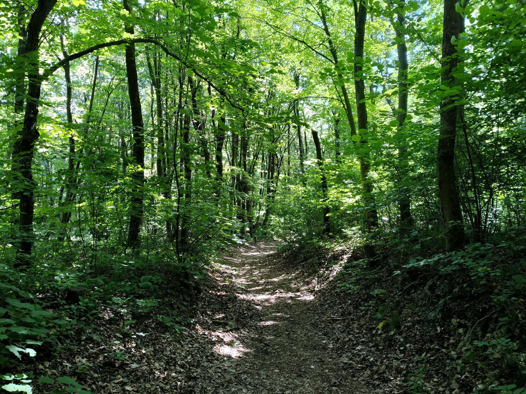
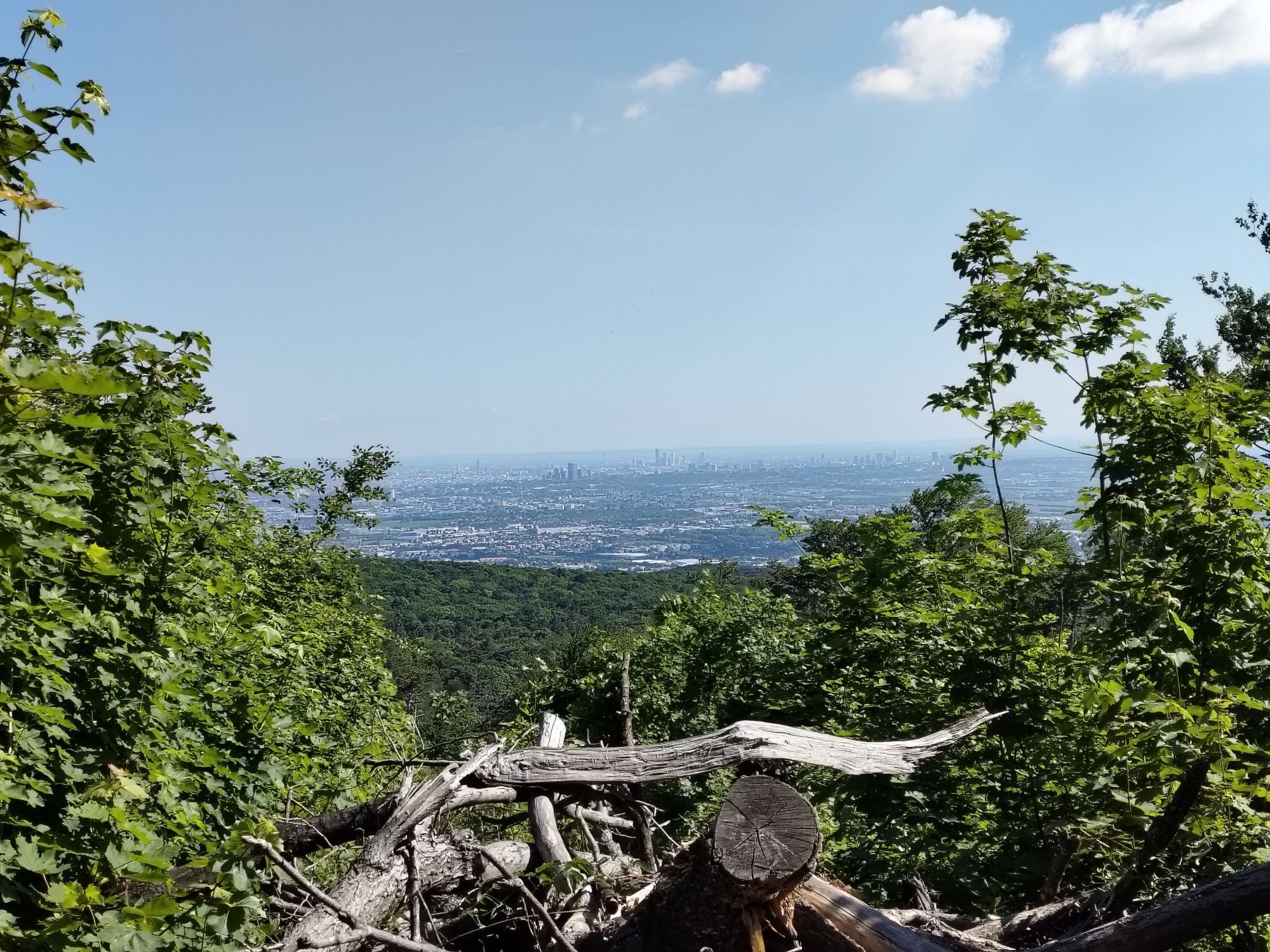
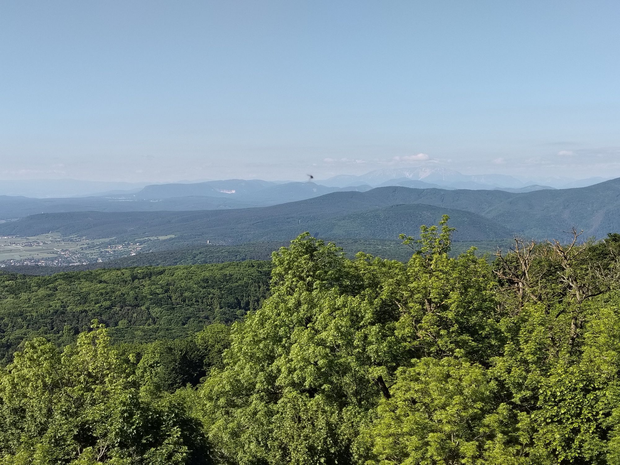
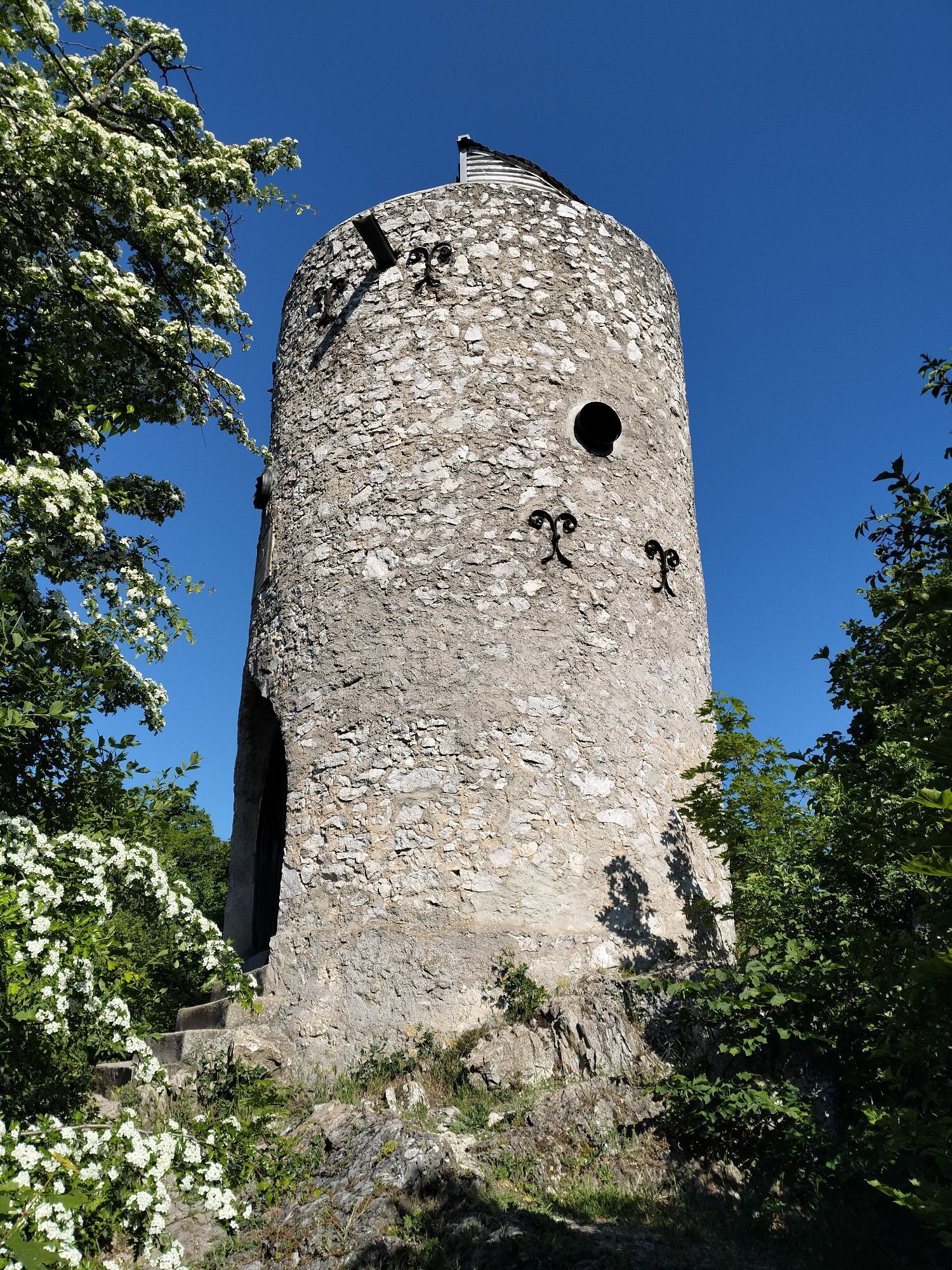
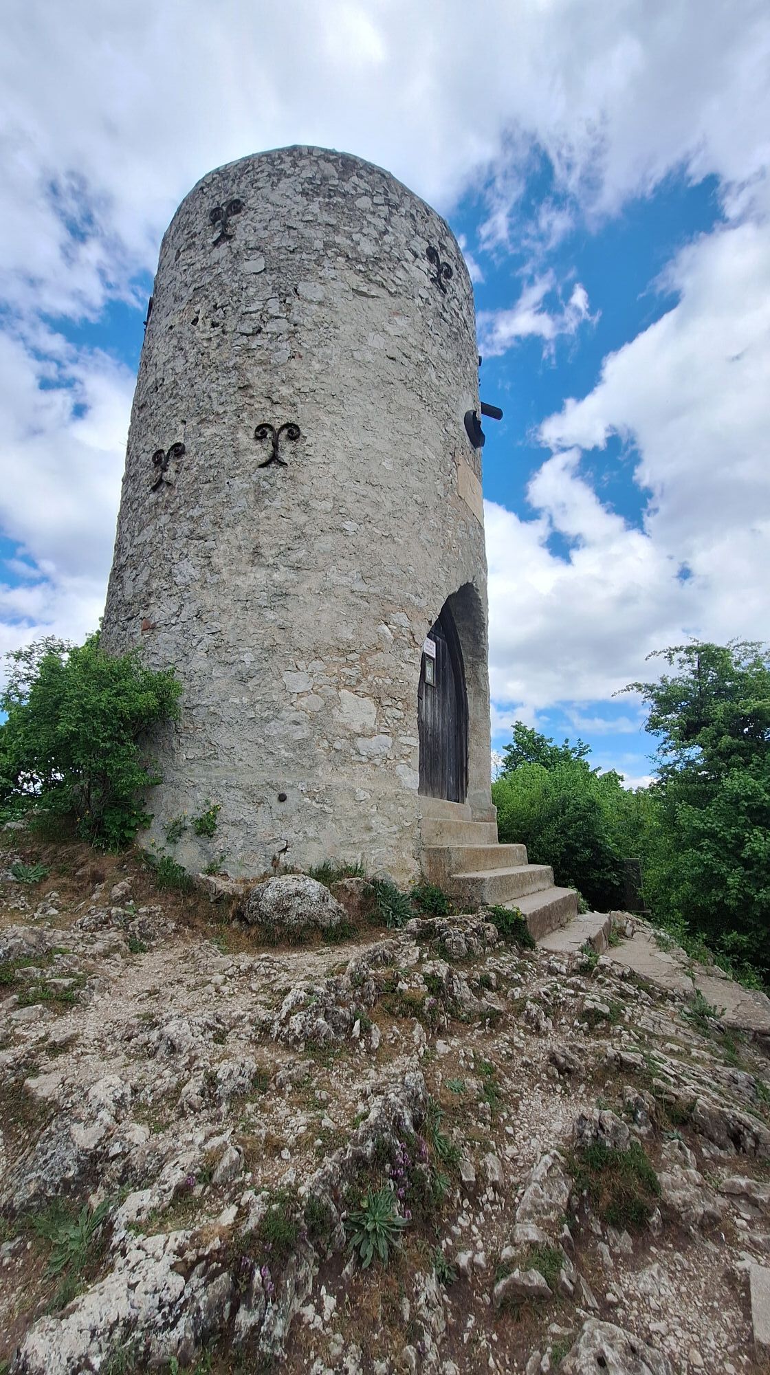
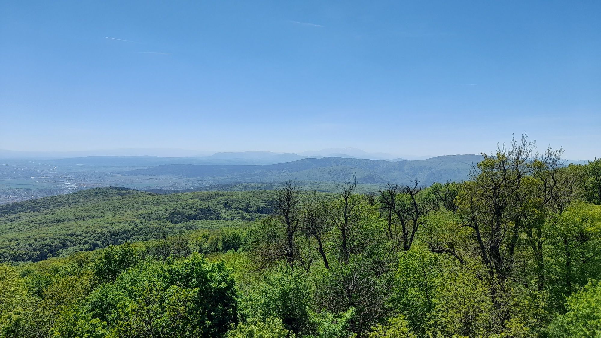
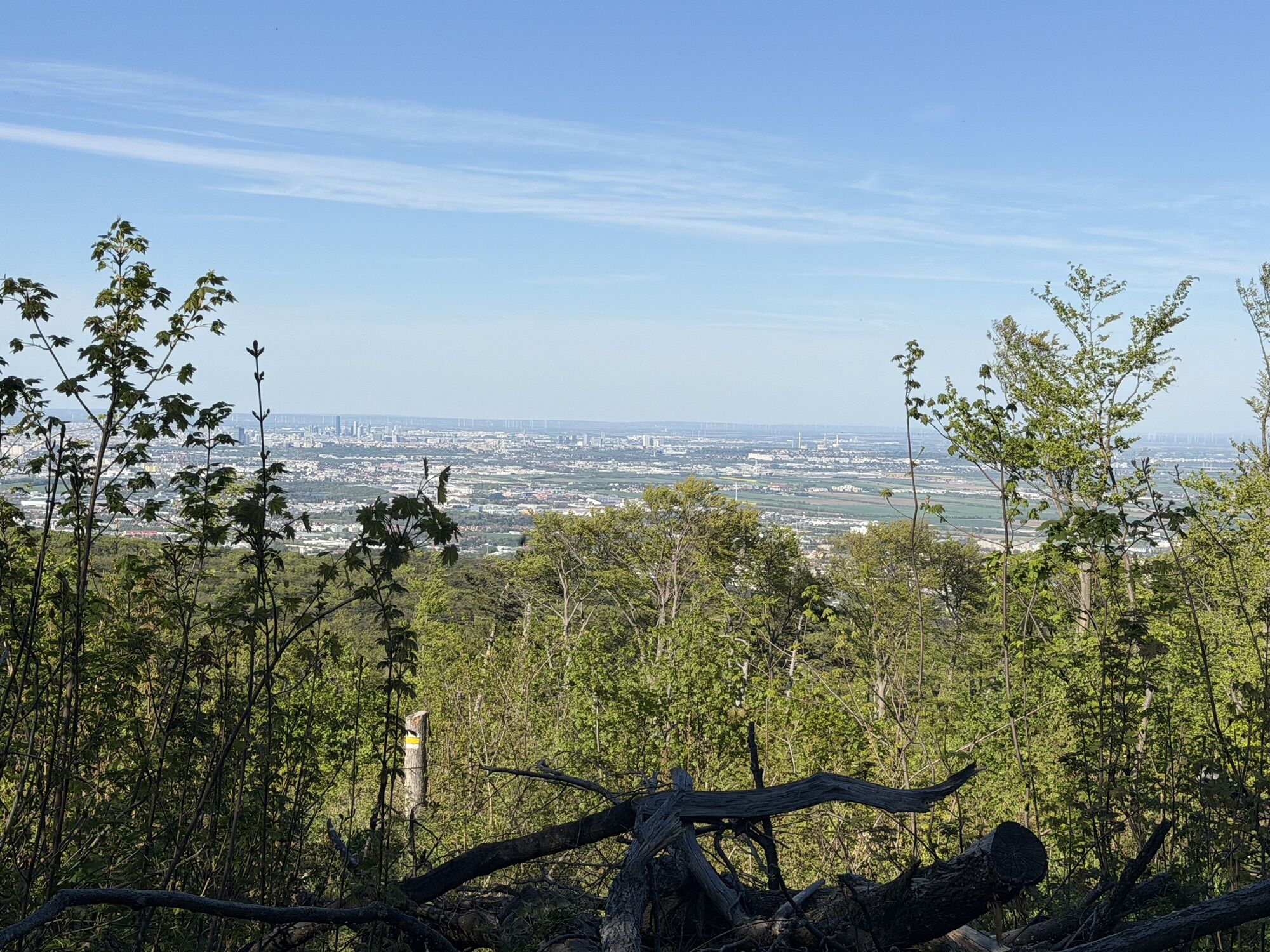
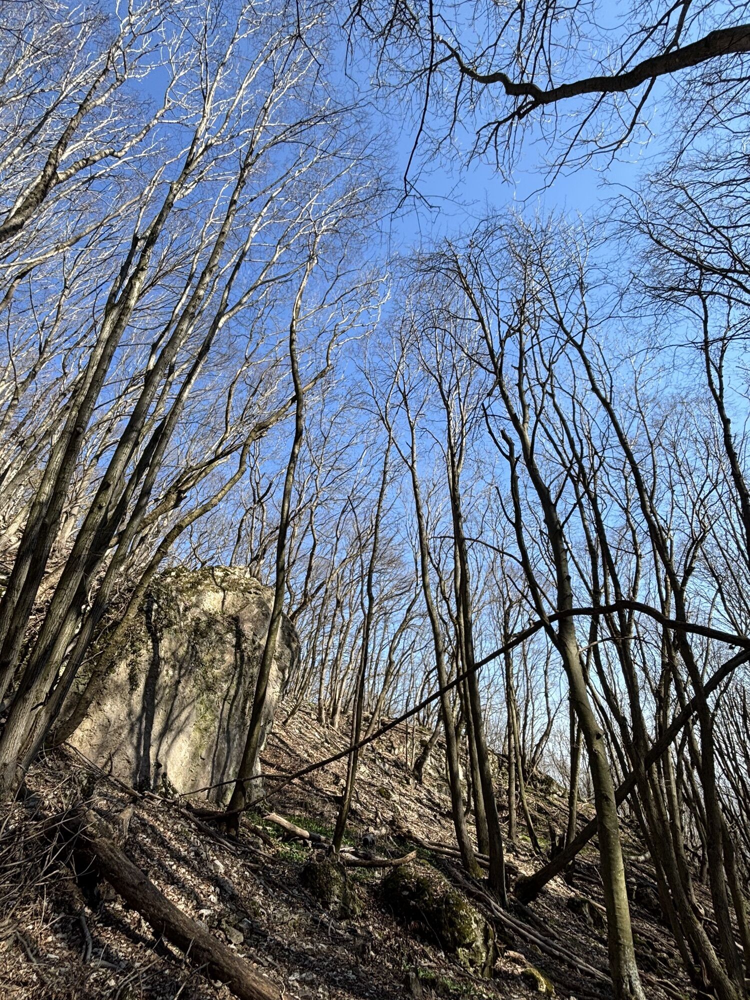
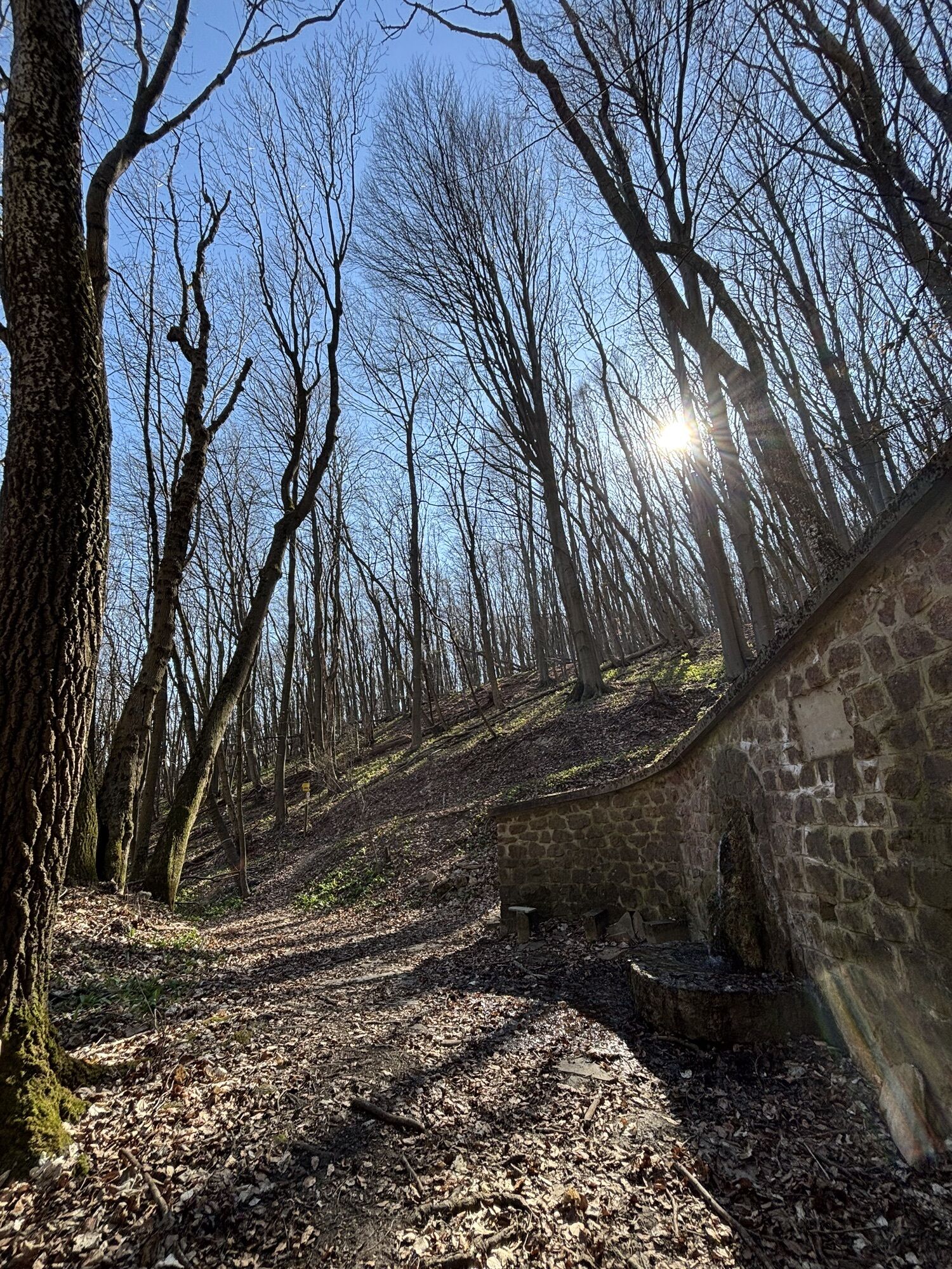
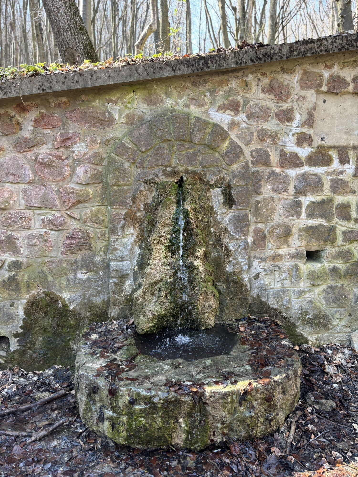
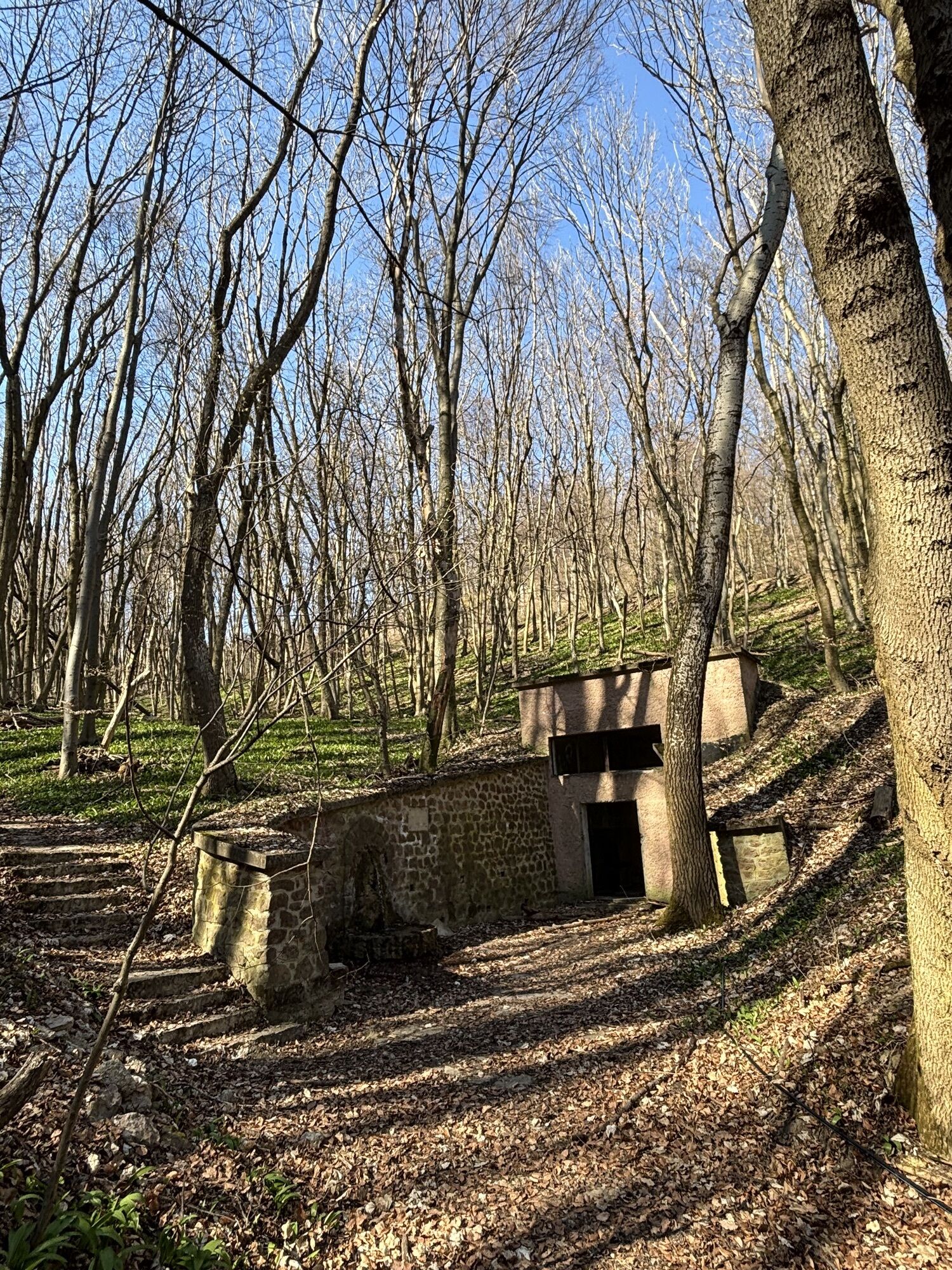
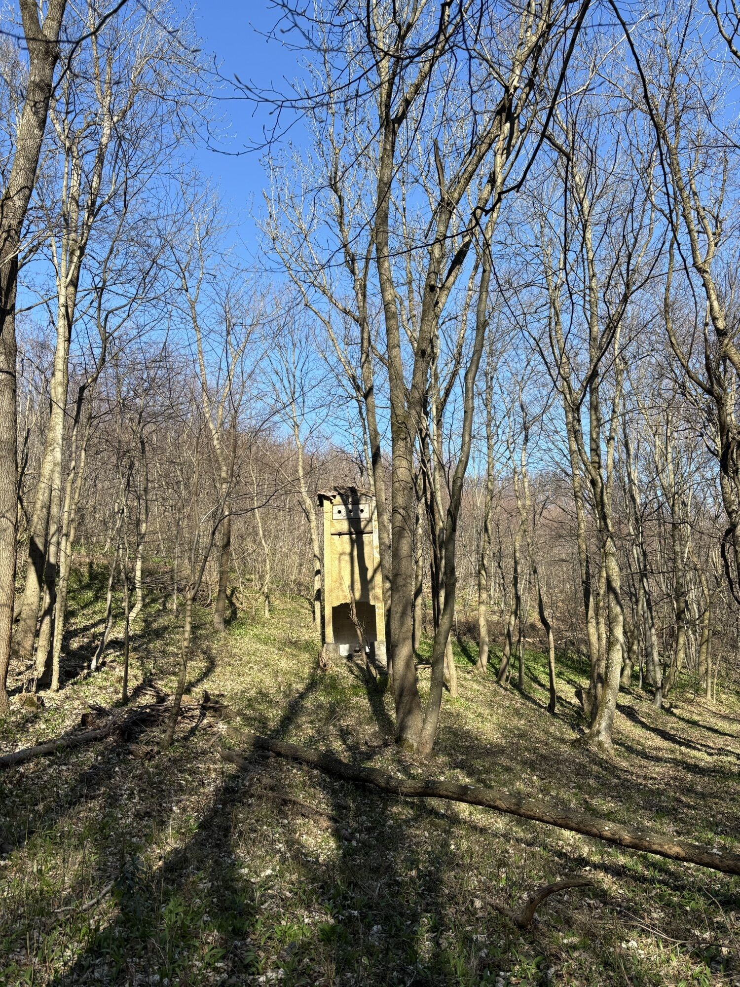
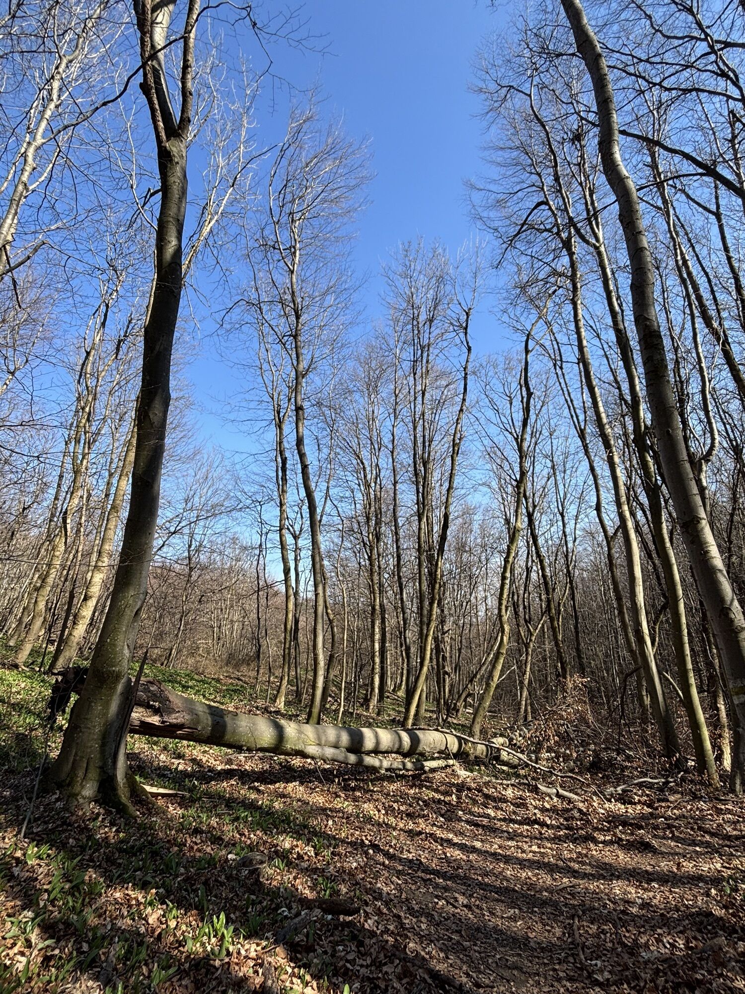
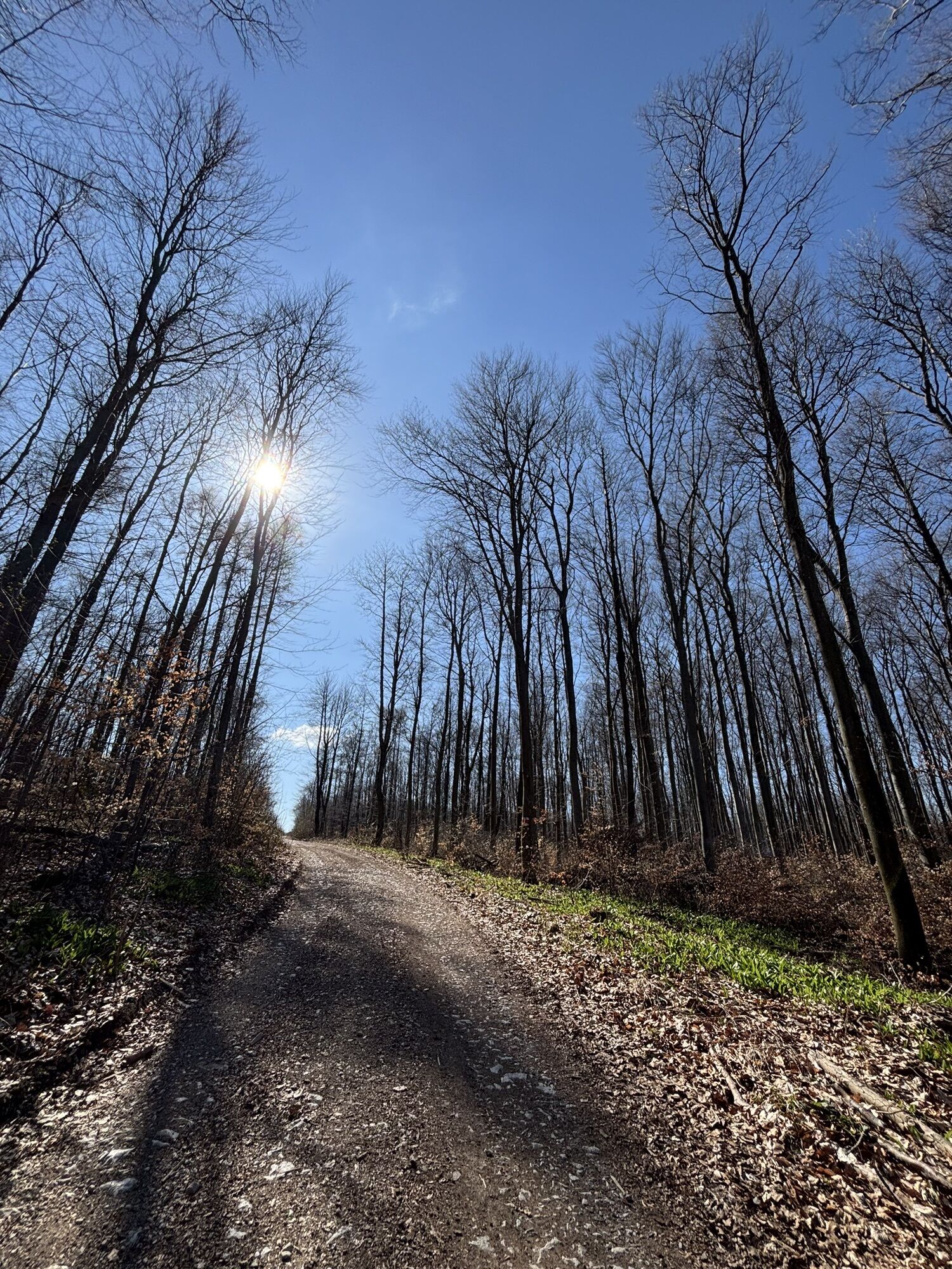
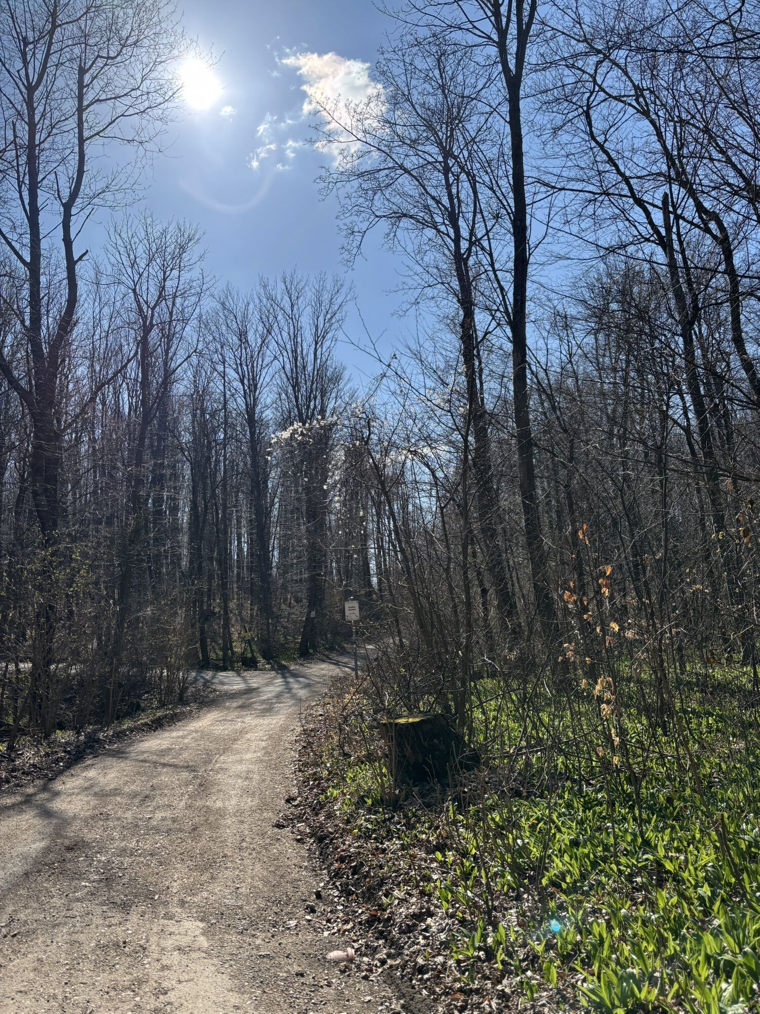
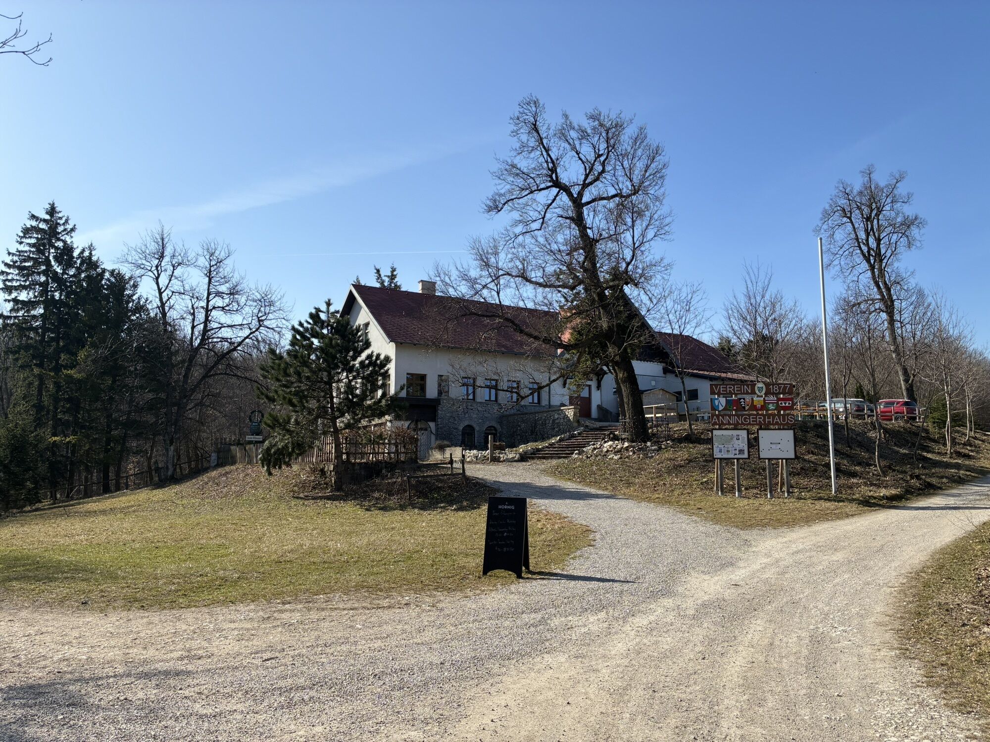
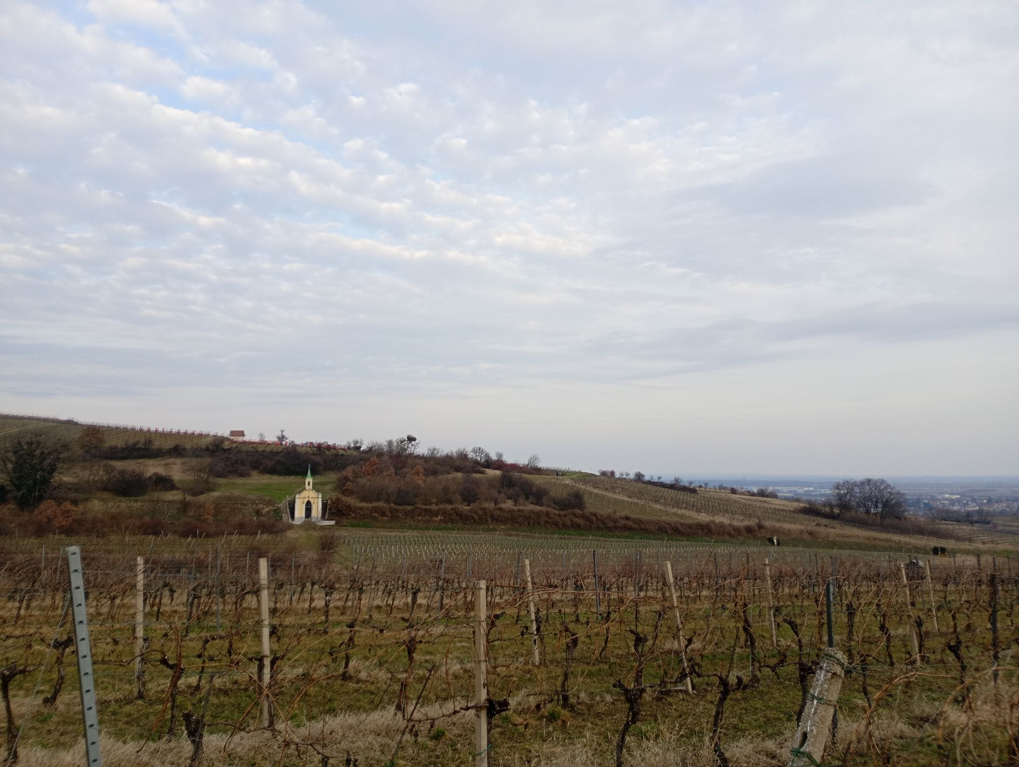
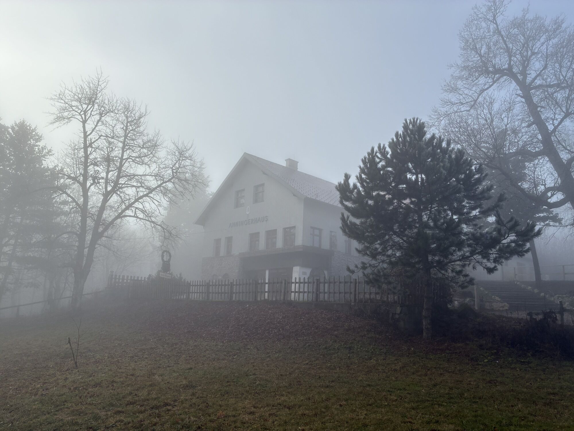
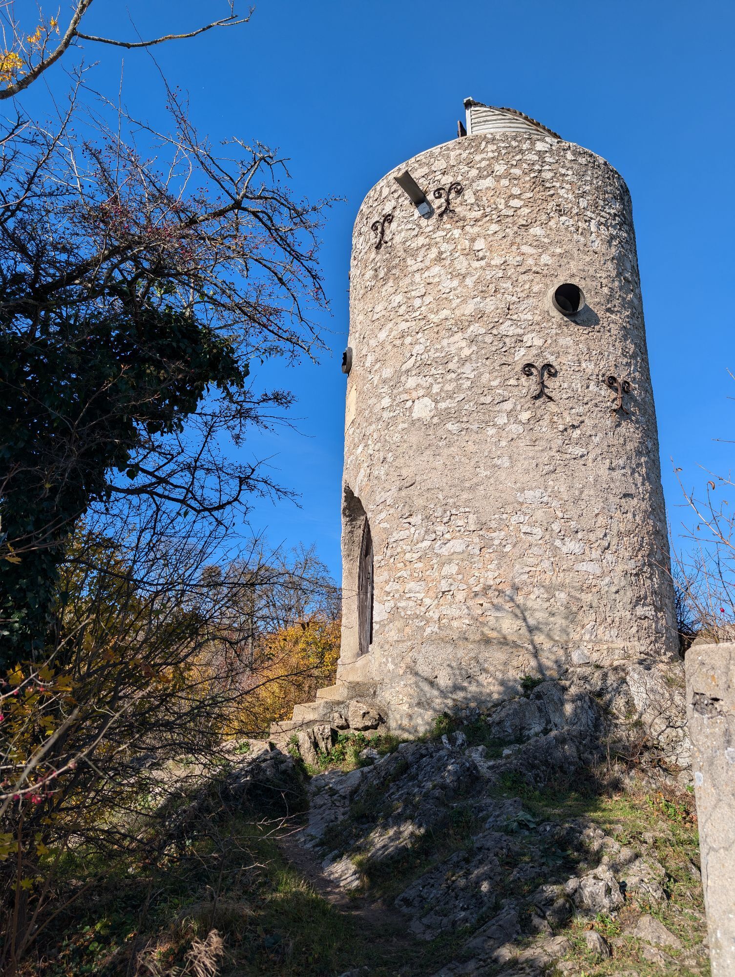
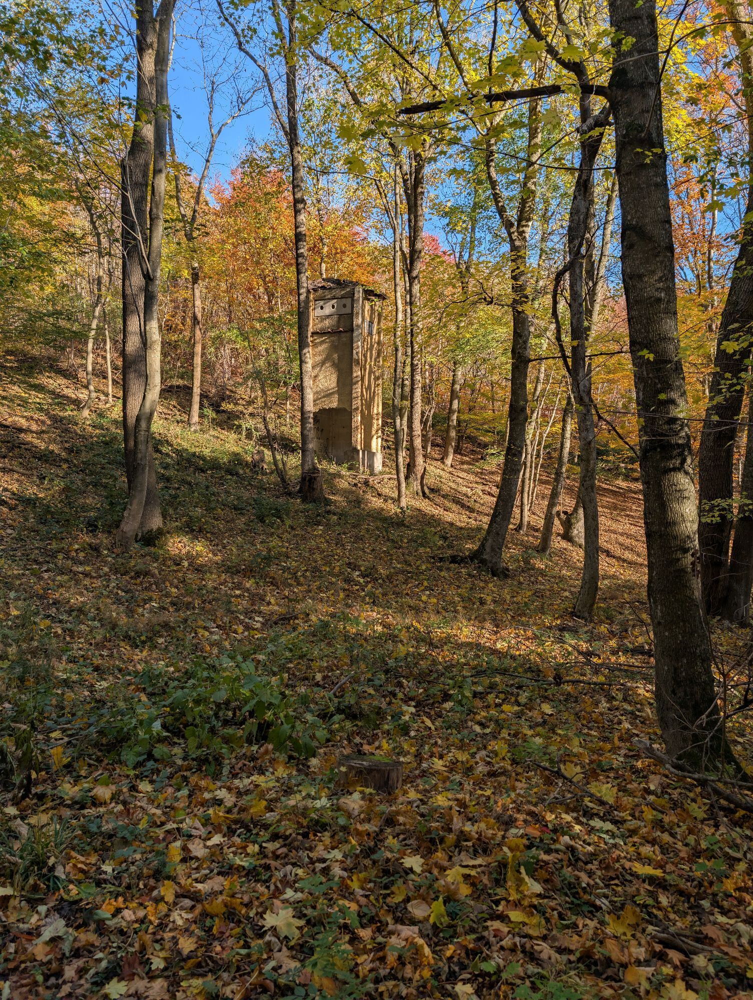

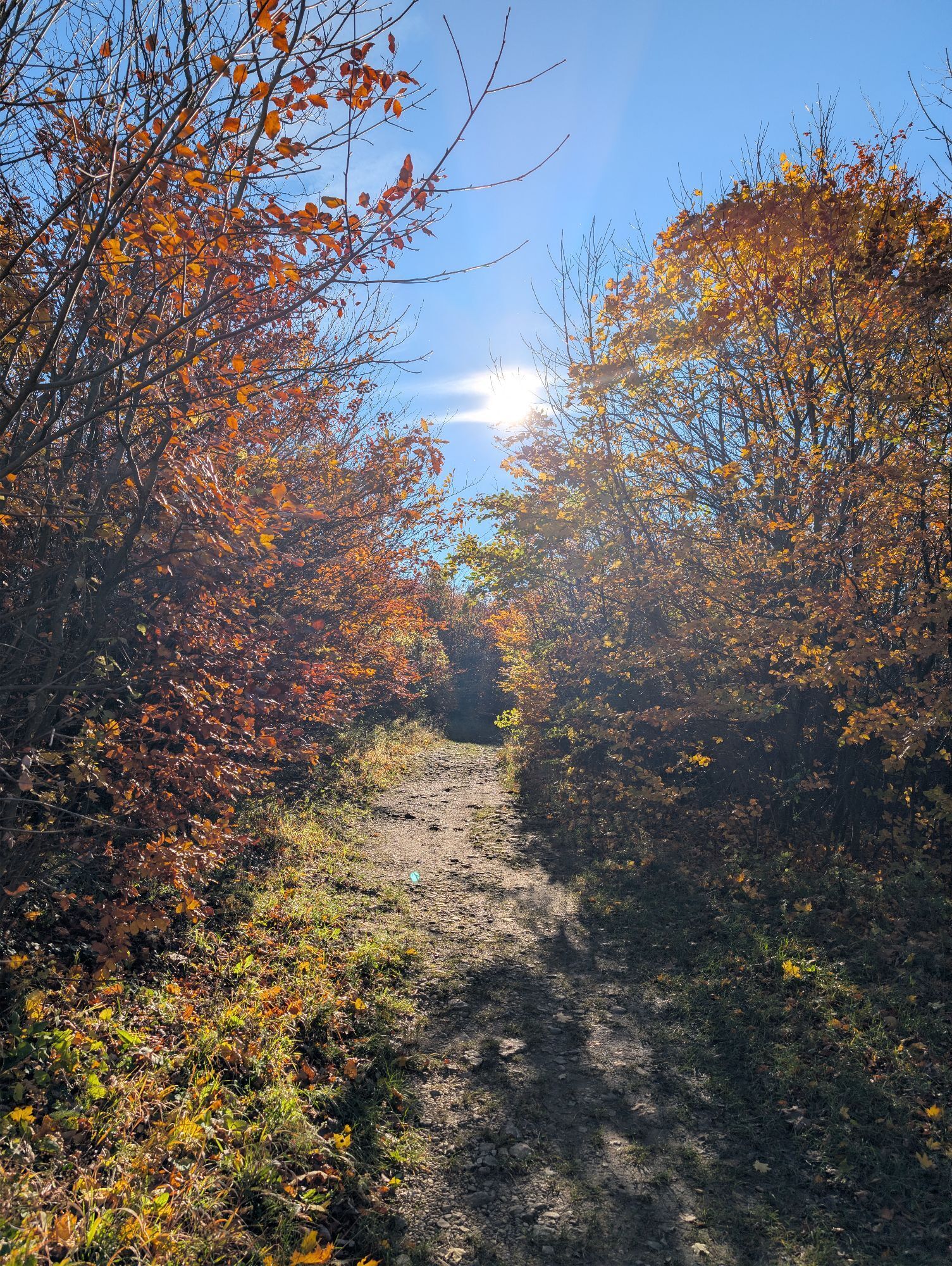
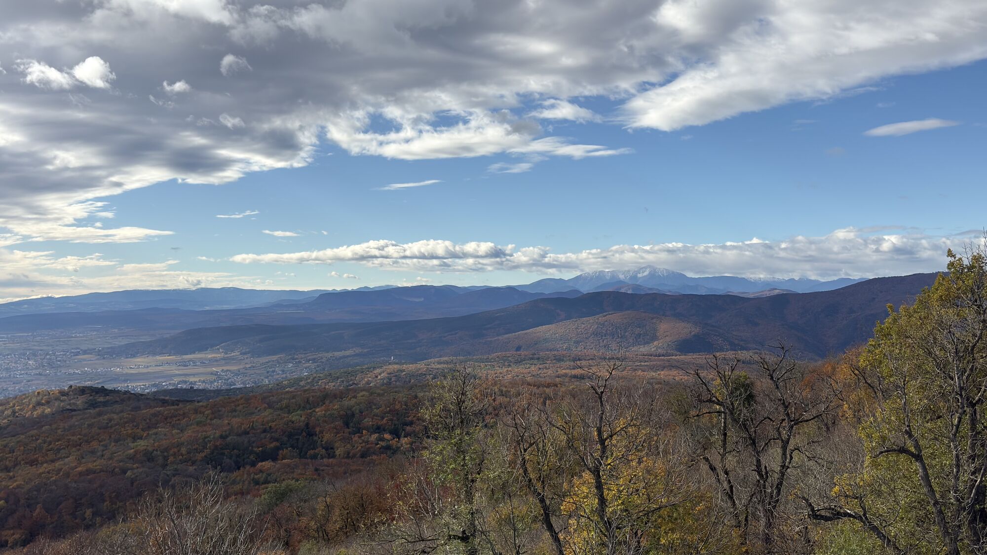
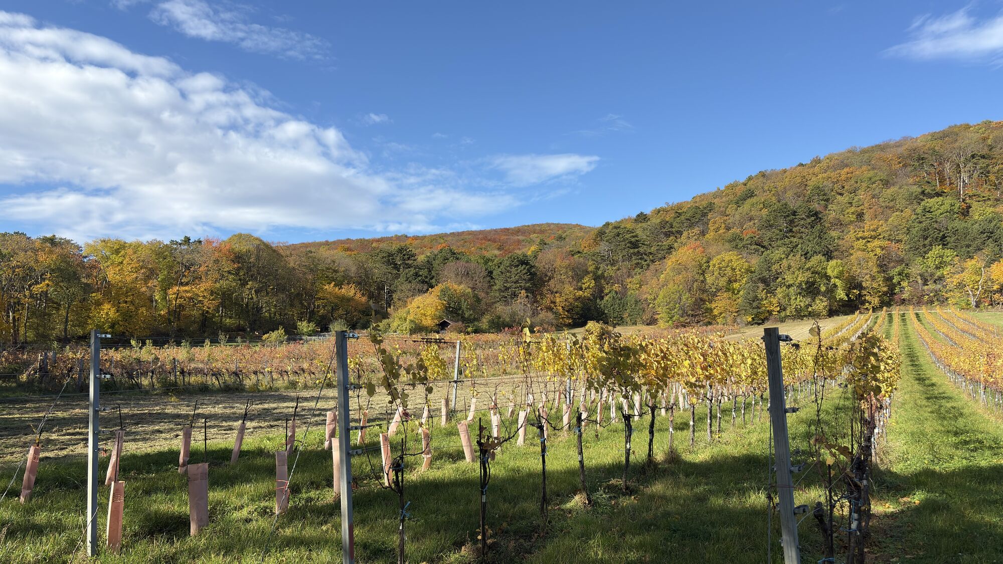
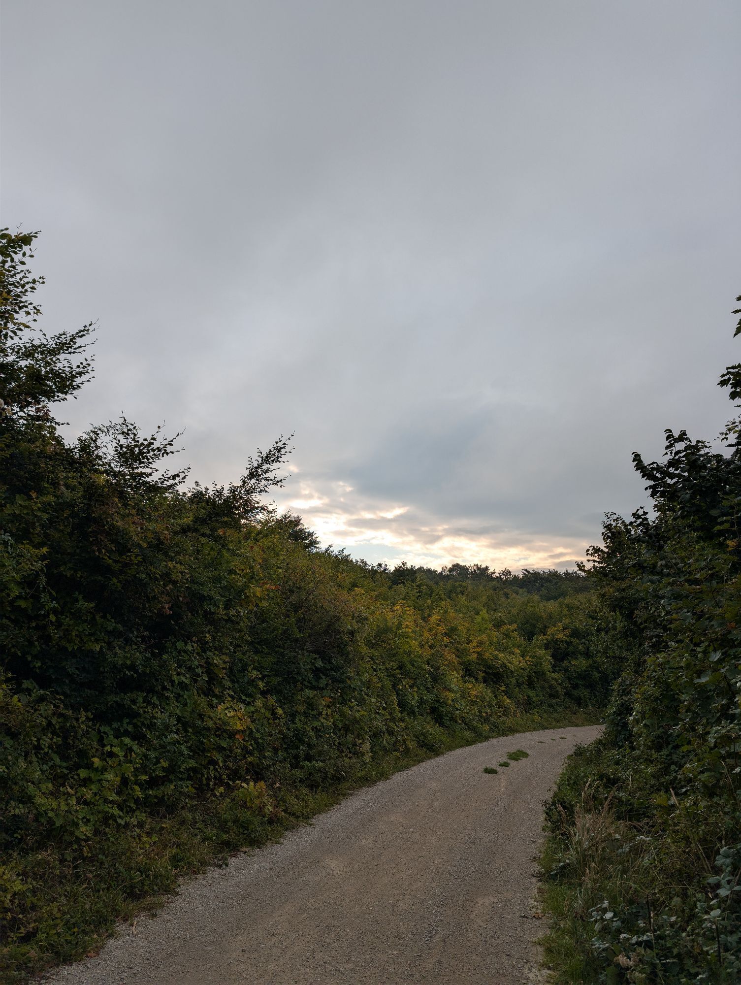
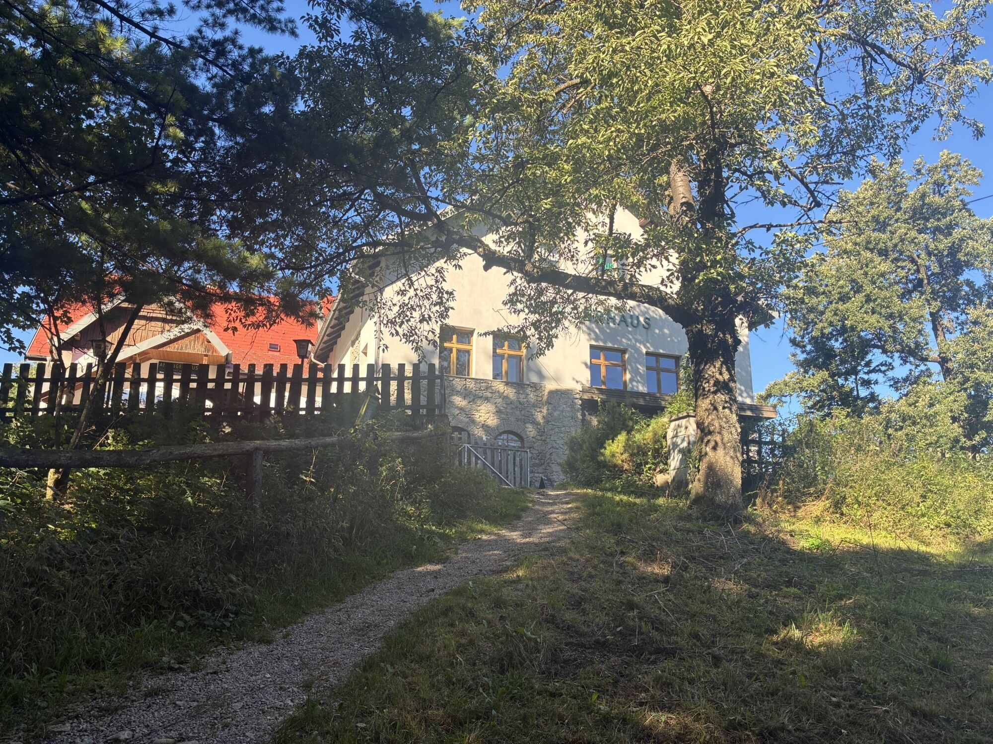
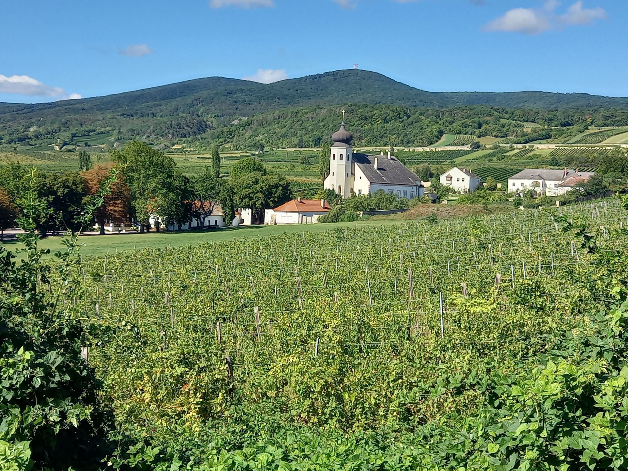
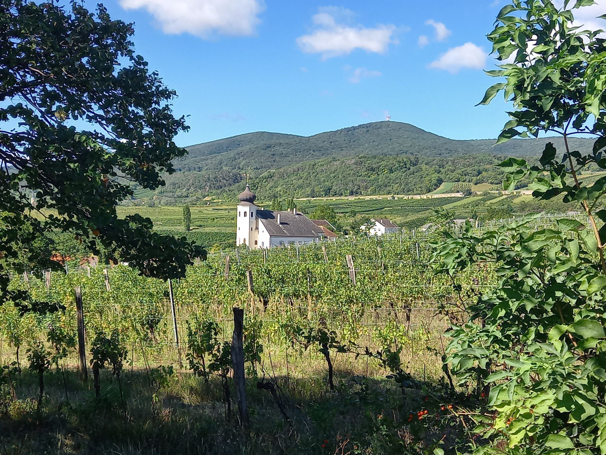
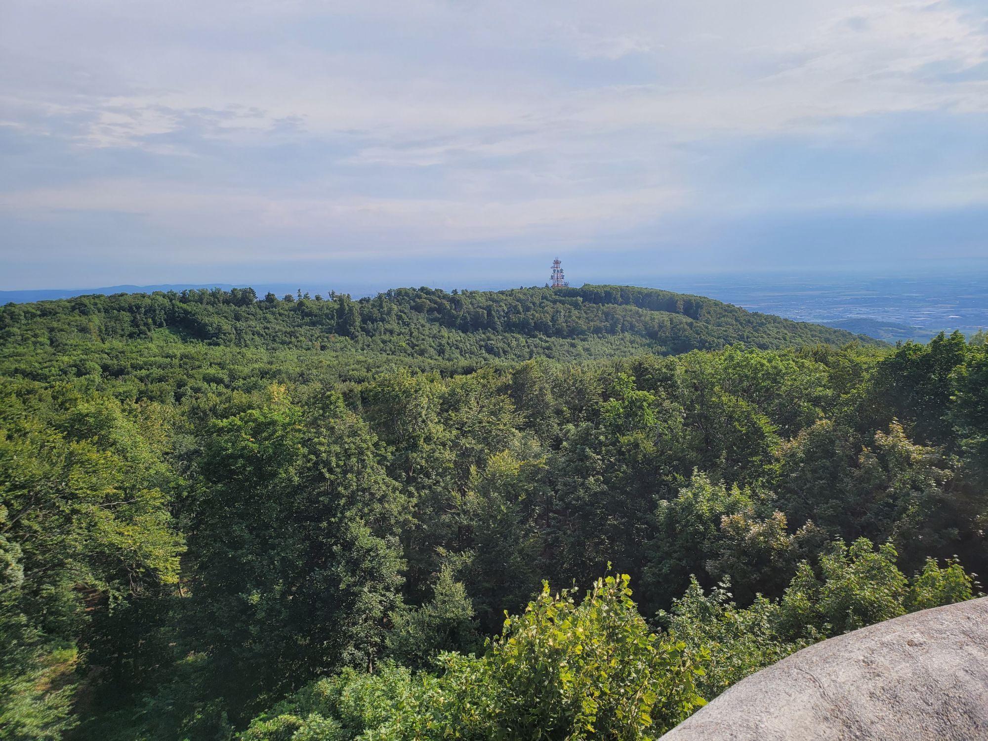
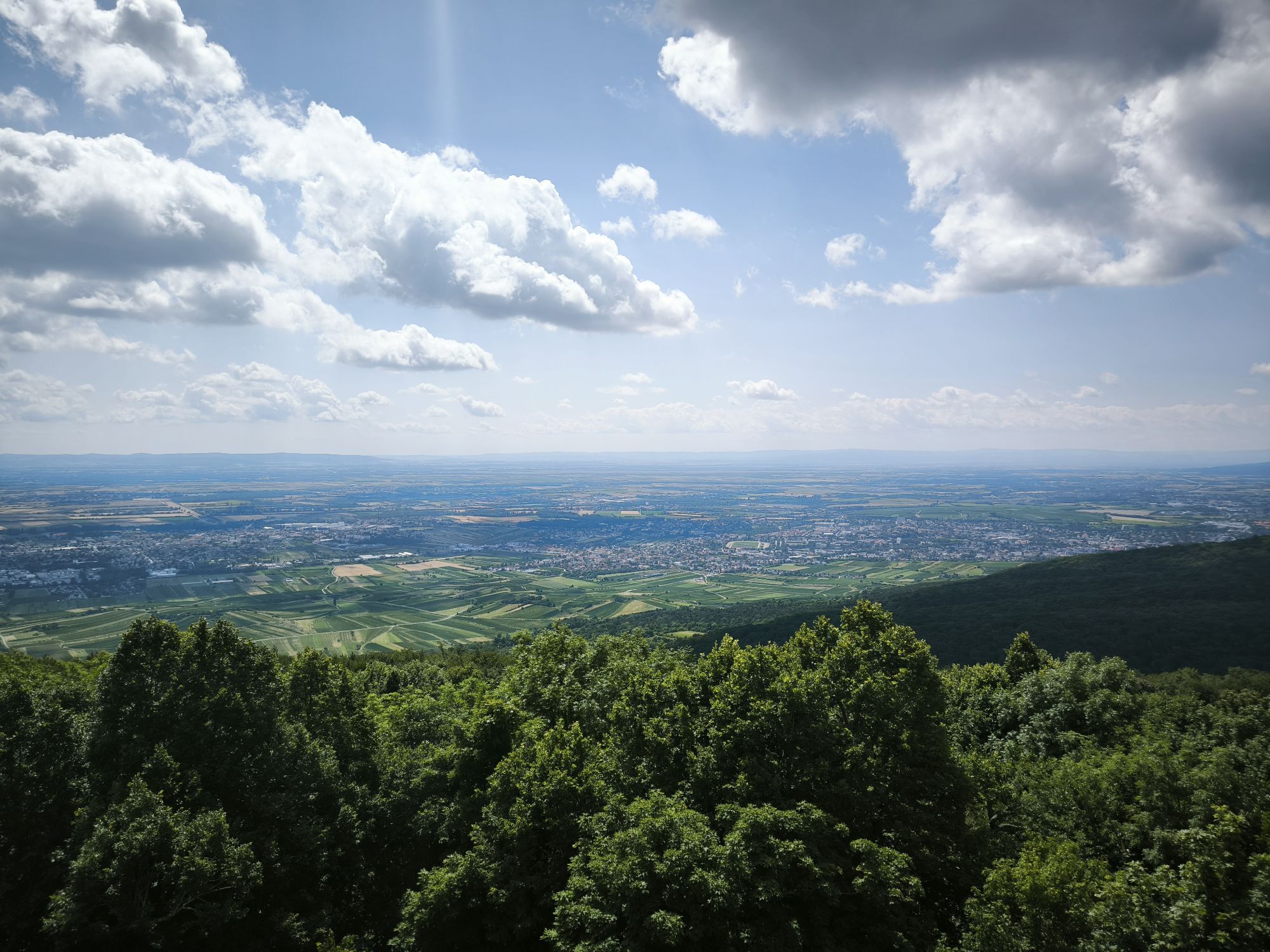
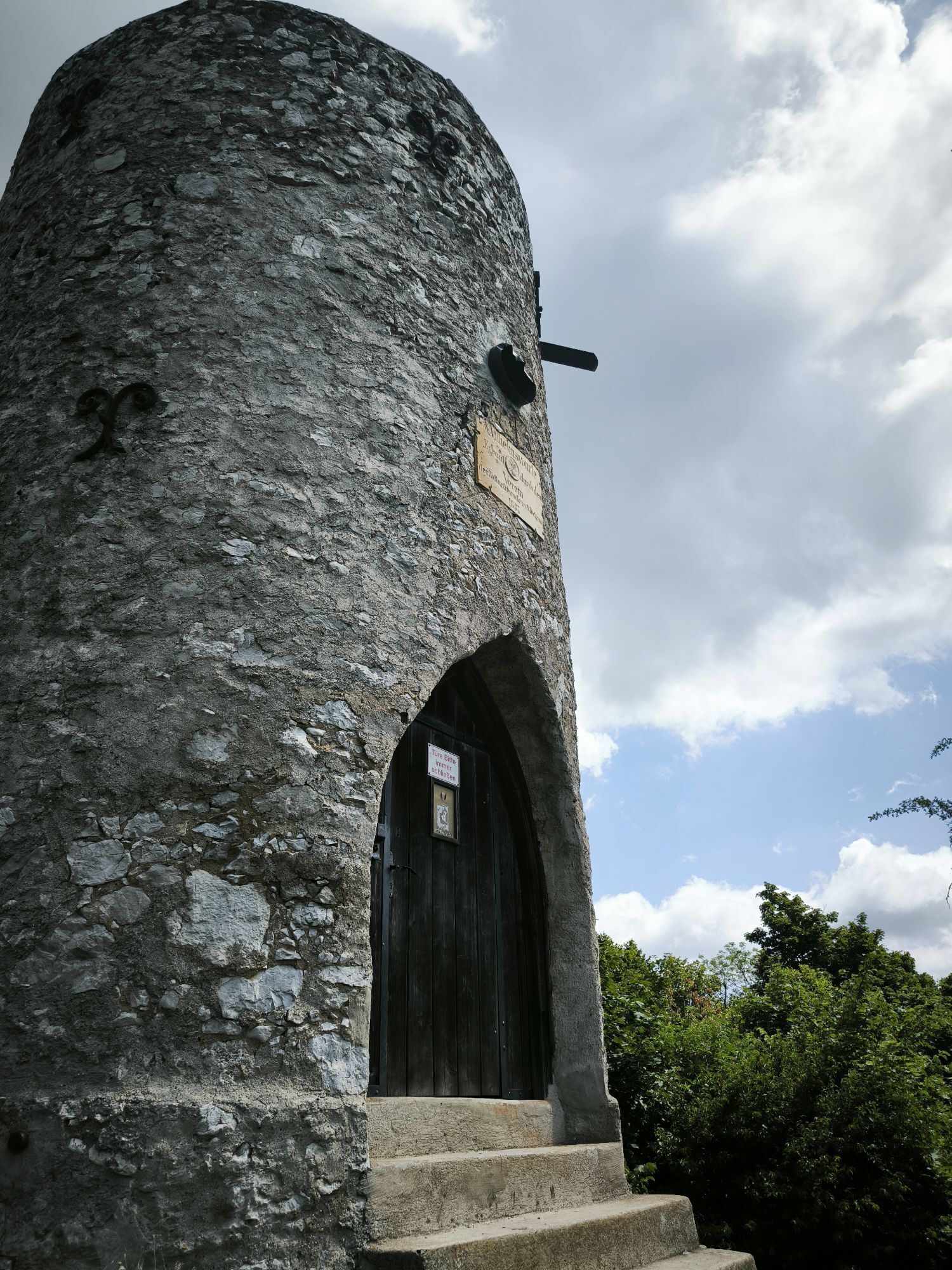
Together with the Eschenkogel (653 m), the Vierjochkogel (651 m) and the Buchkogel (639 m), the Anninger (675 m) - approx. 20 km south of Vienna - forms a massive limestone mountain range. The low mountain...
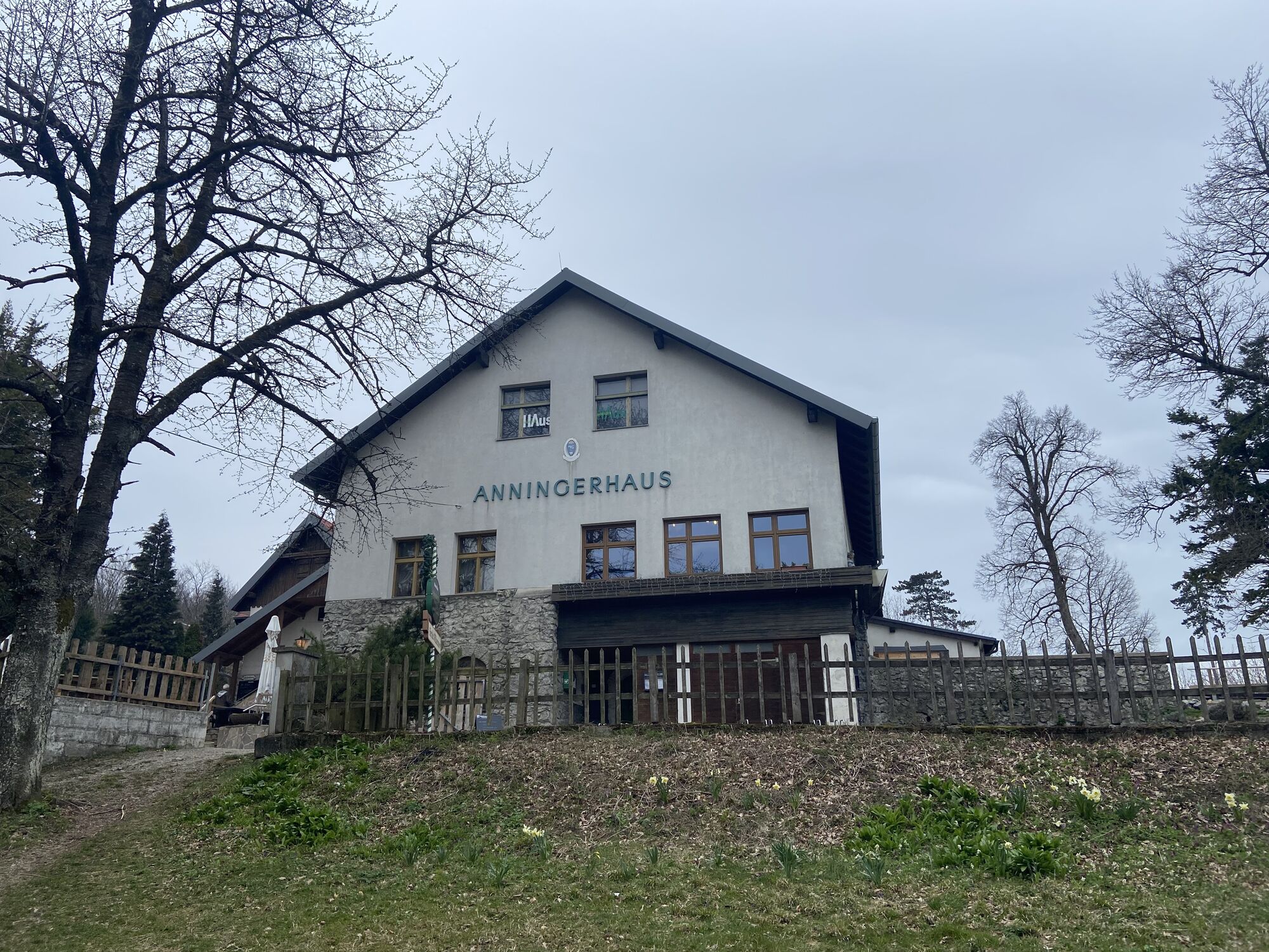
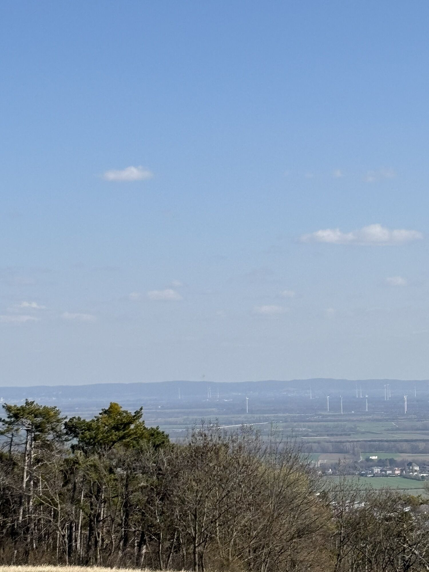
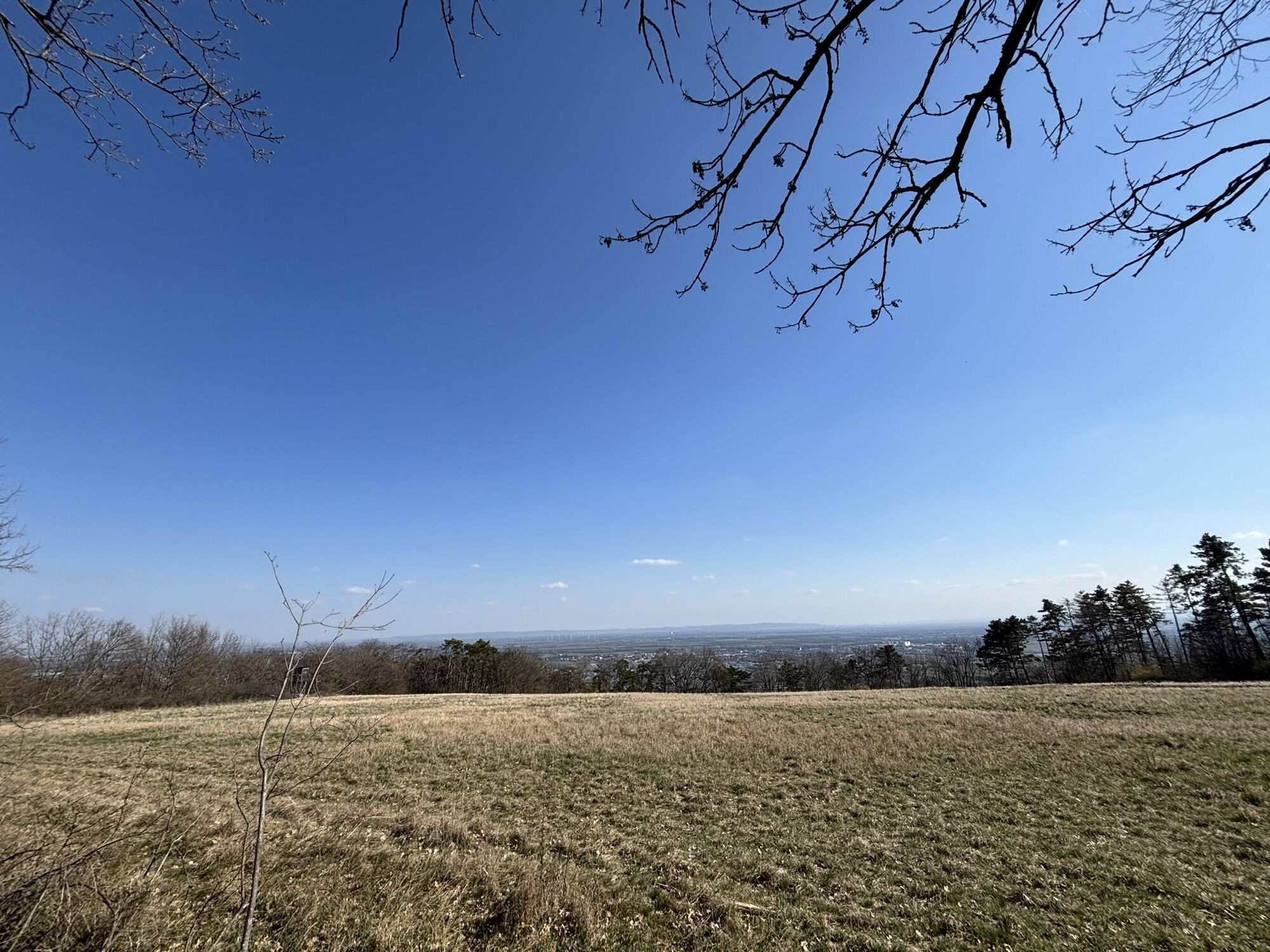
Together with the Eschenkogel (653 m), the Vierjochkogel (651 m) and the Buchkogel (639 m), the Anninger (675 m) - approx. 20 km south of Vienna - forms a massive limestone mountain range. The low mountain range on the eastern edge of the Vienna Alps - at the break-off to the Vienna Alps basin - can also be described as the heart of the Vienna Woods Biosphere Reserve, where nature and culture are in harmony with each other. The Anninger is almost entirely covered by extensive forests. In the altitude range between300 m and 500 m, there are broad-leaved oak-hornbeam forests, with woodruff-beech forests above, dominated by copper beech. In addition, the black pine (umbrella pine, Viennese Parapluibaum) is often found, such as over large areas in the Föhrenberge Nature Park, the southern part of which extends into the area of the Anninger. The municipalities of Hinterbrühl, Mödling, Gumpoldskirchen, Pfaffstätten, Baden and Gaaden, as well as Guntramsdorf and Traiskirchen lie at the foot of the Anninger. From each of these starting points, the mountain can be "climbed" along signposted paths with all its major and minor attractions, such as the Wilhelmswarte, the Jubiläumswarte, the Klesheimwarte or the Husarentempel. Hikers will also find cozy restaurants such as the Anninger Schutzhaus and the Krauste Linde.



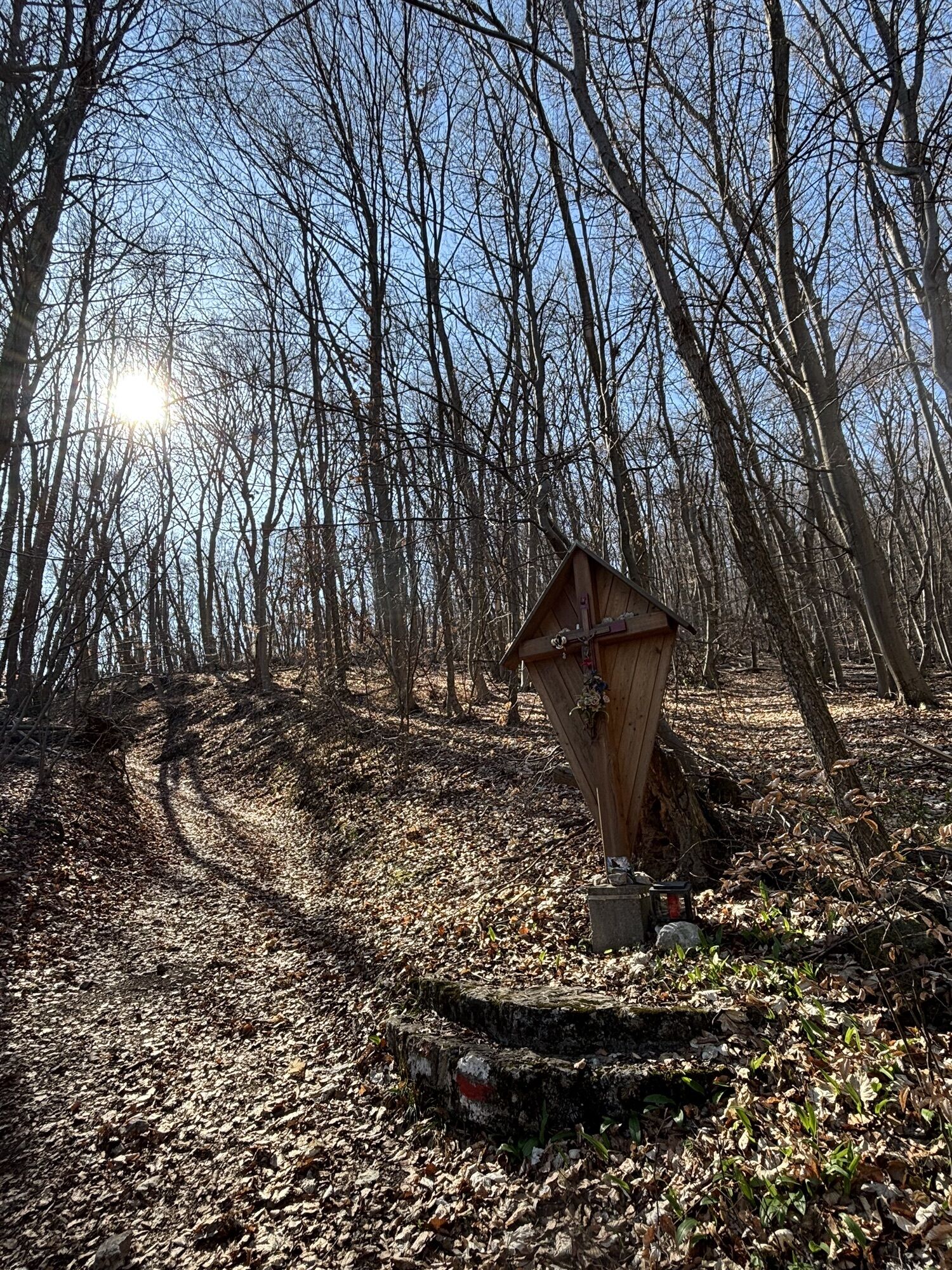
Start beim Bahnhof Thallern, Parkmöglichkeit – Richardhof (Beethovebweg 40, rot) – Siebenbrunnengraben (gelb, dann rot) – Anninger Wilhelmswarte - Anninger Schutzhaus – Richtung Richardshof (blau) – Bahnhof Thallern (gelb)
Person responsible for the content of this tour
Vienna Woods
Last updated: 18.11.2025
Priljubljeni izleti v okolici
-
4.5
Erlebnisweg Peilstein...auf den Spuren der Kletterer
srednjaTematska pot 6 km -
4.8
Kalenderberg und Burg Liechtenstein
svetlobaPohodništvo 8.48 km -
4.7
AUGUSTINERHÜTTE Parkplatz bei B210 Hoher Lindkogel, Langes Tal 20221030
srednjaPohodništvo 8.02 km -
4.6
Angelos Touren: vom Helenental auf den Hohen Lindkogel
srednjaPohodništvo 11.4 km -
4.6
Abend/Nachtwanderung Teufelstein
svetlobaPohodništvo 7.15 km -
4.6
Naturpark Sparbach
svetlobaPohodništvo 7.08 km -
4.6
Stadtwanderweg 6 / Zugberg - Maurer Wald (lt. Beschilderung)
svetlobaPohodništvo 13.3 km -
4.6
Wienerwald: Maria Raisenmarkt - Peilstein
svetlobaZimsko pohodništvo 6.82 km -
4.5
Landschaftspark Liechtenstein - Angelos Touren
svetlobaPohodništvo 6.70 km -
4.5
Baden Helenental Krainerhütte Cholerakapelle RDW
srednjaPohodništvo 10.1 km
Pohodništvo in sledenje


Ne zamudite ponudb in navdiha za naslednje počitnice
Vaš e-poštni naslov je bil dodan na poštni seznam.





