


From Dürrwien to Rekawinkel
Fotografije naših uporabnikov
-

 © SabineUstvarjeno na 27.01.2026
 -
 © SabineUstvarjeno na 12.12.2025
 -
 © SabineUstvarjeno na 12.12.2025
 -

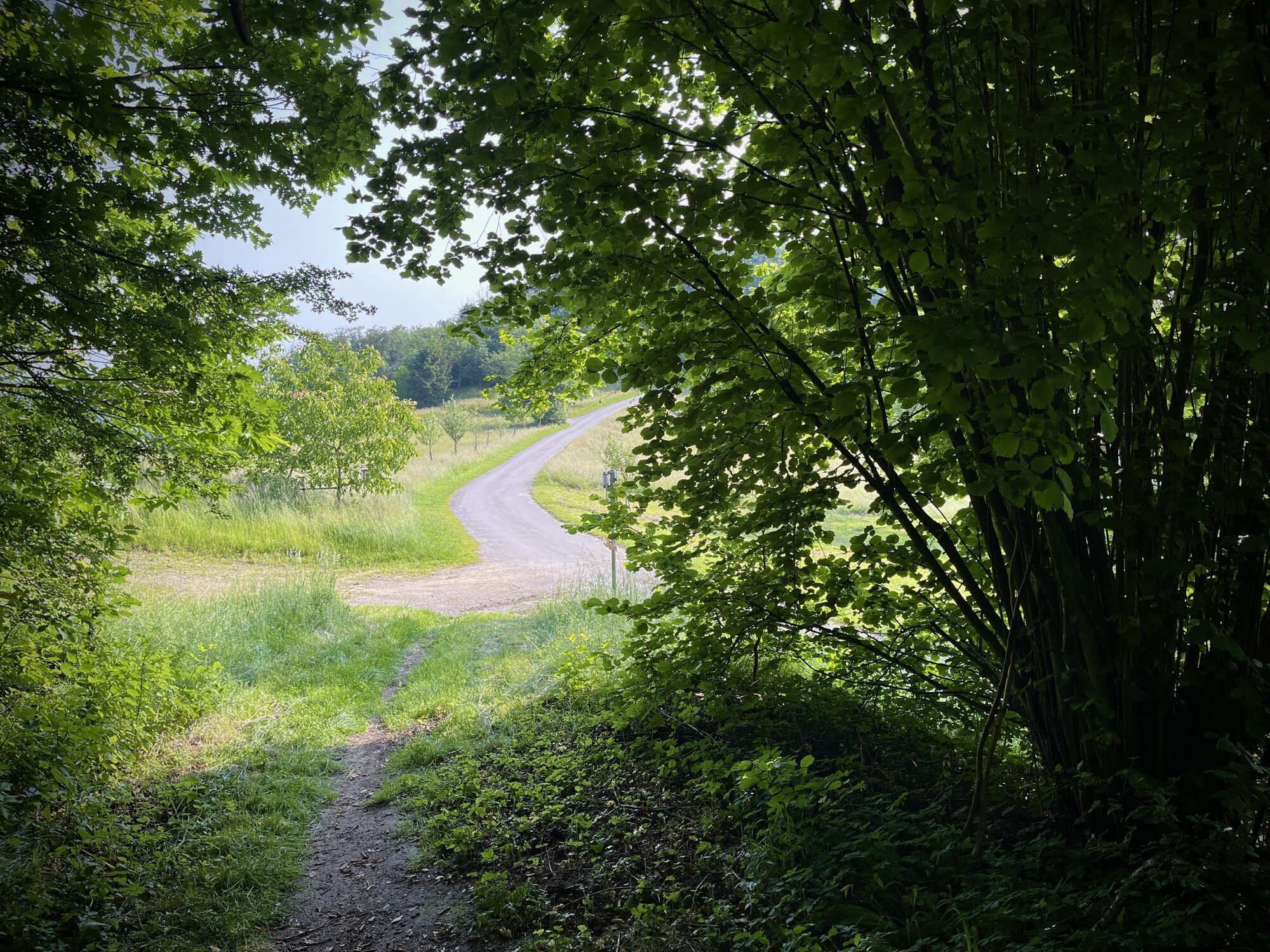
 © PfalziUstvarjeno na 10.06.2025
 -
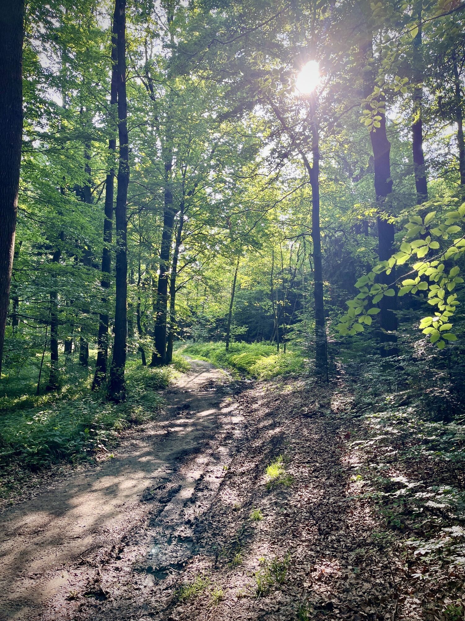
 © PfalziUstvarjeno na 10.06.2025
 -
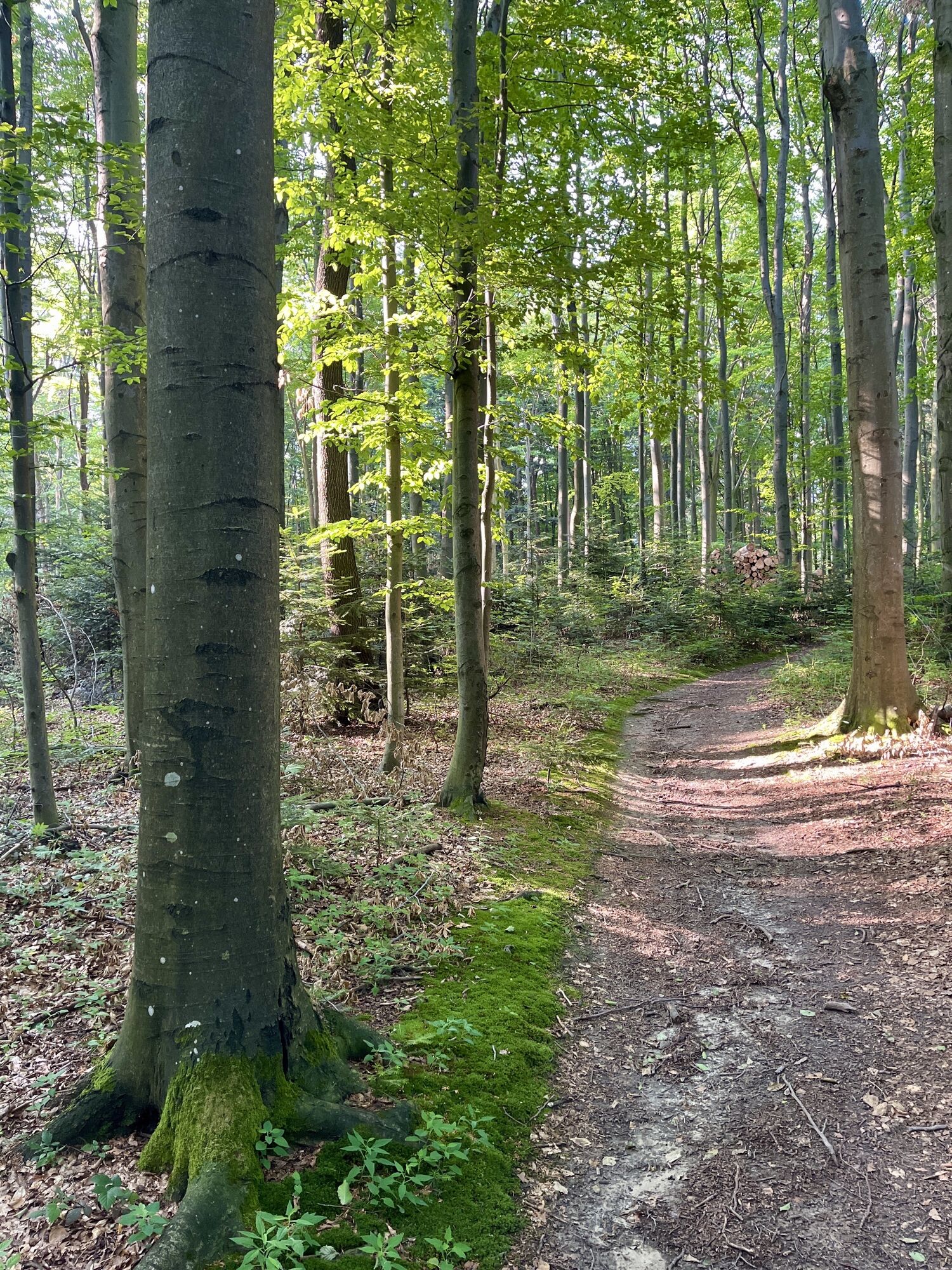
 © PfalziUstvarjeno na 10.06.2025
 -
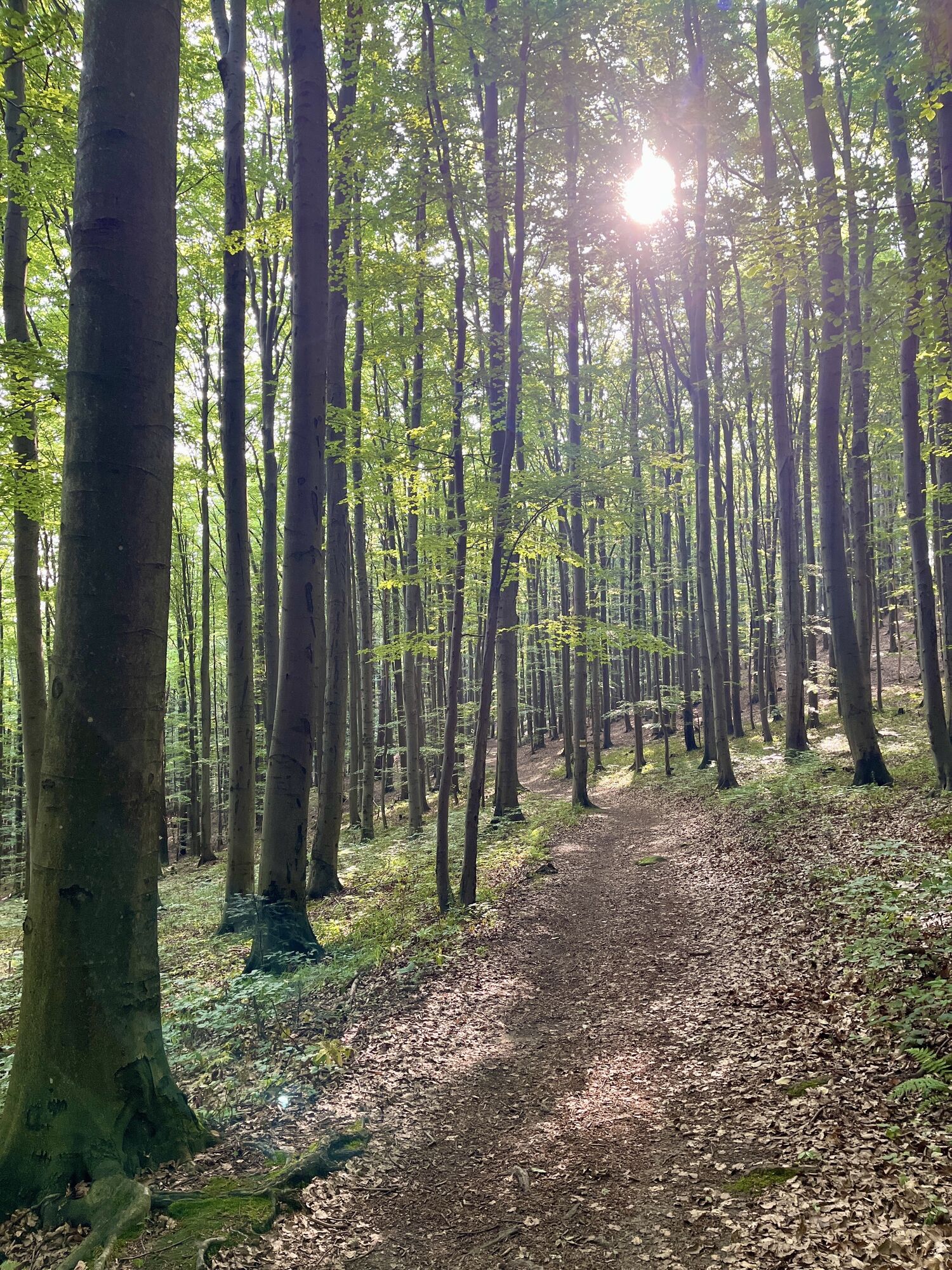
 © PfalziUstvarjeno na 10.06.2025
 -
 © PfalziUstvarjeno na 10.06.2025
 -
 © PfalziUstvarjeno na 10.06.2025
 -
 © PfalziUstvarjeno na 10.06.2025
 -
 © PfalziUstvarjeno na 10.06.2025
 -
 © PfalziUstvarjeno na 10.06.2025
 -
 © PfalziUstvarjeno na 10.06.2025
 -
 © PfalziUstvarjeno na 10.06.2025
 -
 © PfalziUstvarjeno na 10.06.2025
 -
 © PfalziUstvarjeno na 10.06.2025
 -
 © PfalziUstvarjeno na 10.06.2025
 -
 © PfalziUstvarjeno na 10.06.2025
 -
 © PfalziUstvarjeno na 10.06.2025
 -
 © PfalziUstvarjeno na 10.06.2025
 -
 © PfalziUstvarjeno na 10.06.2025
 -
 © PfalziUstvarjeno na 10.06.2025
 -
 © PfalziUstvarjeno na 10.06.2025
 -
 © shacUstvarjeno na 11.08.2023
 -
 © shacUstvarjeno na 11.08.2023
 -
 © shacUstvarjeno na 11.08.2023
 -
 © shacUstvarjeno na 11.08.2023
 -

 © Kellner HeidiUstvarjeno na 06.03.2022
 -
 © Kellner HeidiUstvarjeno na 06.03.2022
 -
 © Kellner HeidiUstvarjeno na 06.03.2022
 -
 © Kellner HeidiUstvarjeno na 06.03.2022
 -
 © Kellner HeidiUstvarjeno na 08.05.2021
 -
 © Kellner HeidiUstvarjeno na 08.05.2021
 -
 © PfalziUstvarjeno na 10.06.2025
 -
 © PfalziUstvarjeno na 10.06.2025
 -
 © PfalziUstvarjeno na 10.06.2025
 -
 © PfalziUstvarjeno na 10.06.2025
 -
 © PfalziUstvarjeno na 02.01.2025
 -
 © PfalziUstvarjeno na 01.01.2025
 -
 © PfalziUstvarjeno na 24.07.2024
 -
 © PfalziUstvarjeno na 10.06.2025
 -
 © PfalziUstvarjeno na 10.06.2025
 -
 © PfalziUstvarjeno na 10.06.2025
 -
 © PfalziUstvarjeno na 10.06.2025
 -
 © PfalziUstvarjeno na 10.06.2025
 -
 © PfalziUstvarjeno na 24.07.2024
 -
 © PfalziUstvarjeno na 30.05.2024
 -
 © PfalziUstvarjeno na 30.05.2024


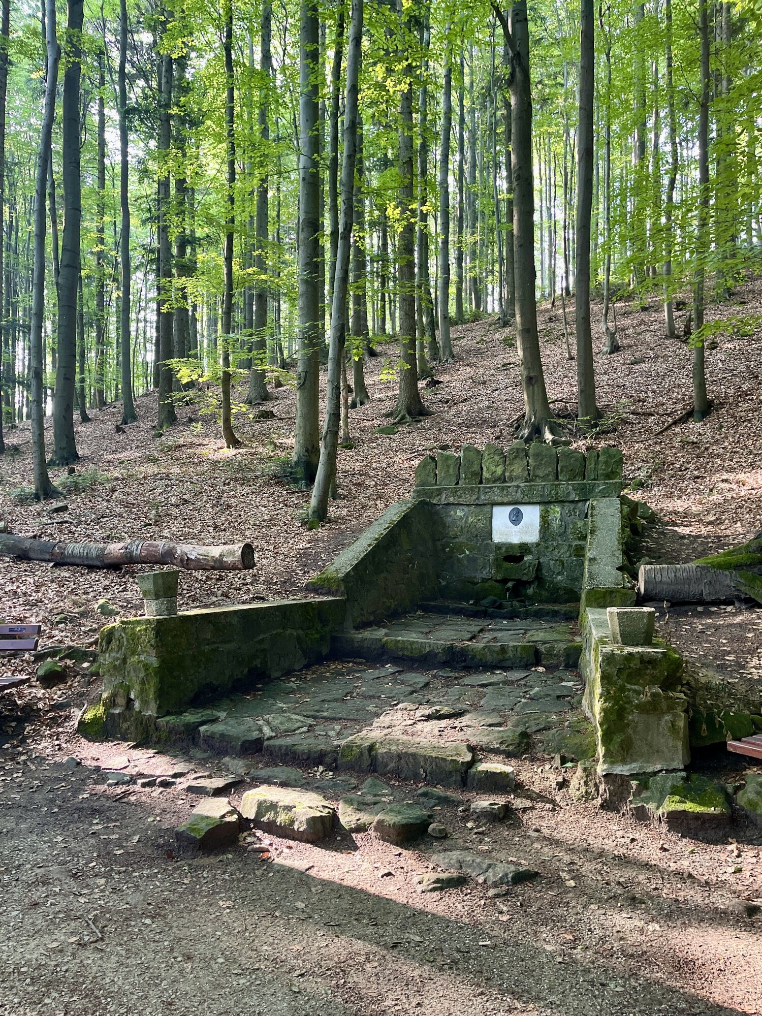


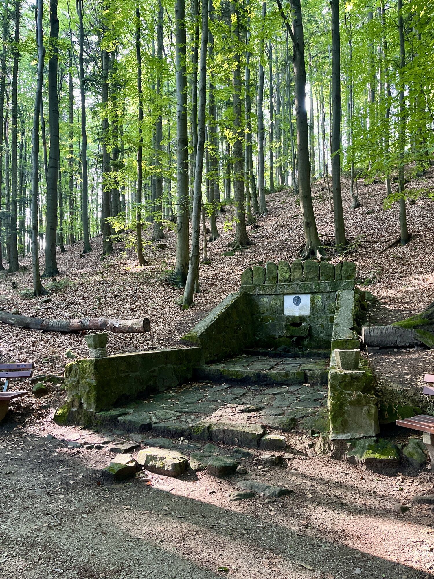

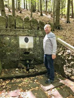
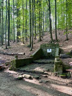
Tip/Fun-Fact: The namesake of the "Kaiserbründl" was Empress Elisabeth of Austria, also known as Sisi. She visited the source of the Wien River in Pressbaum in 1882.

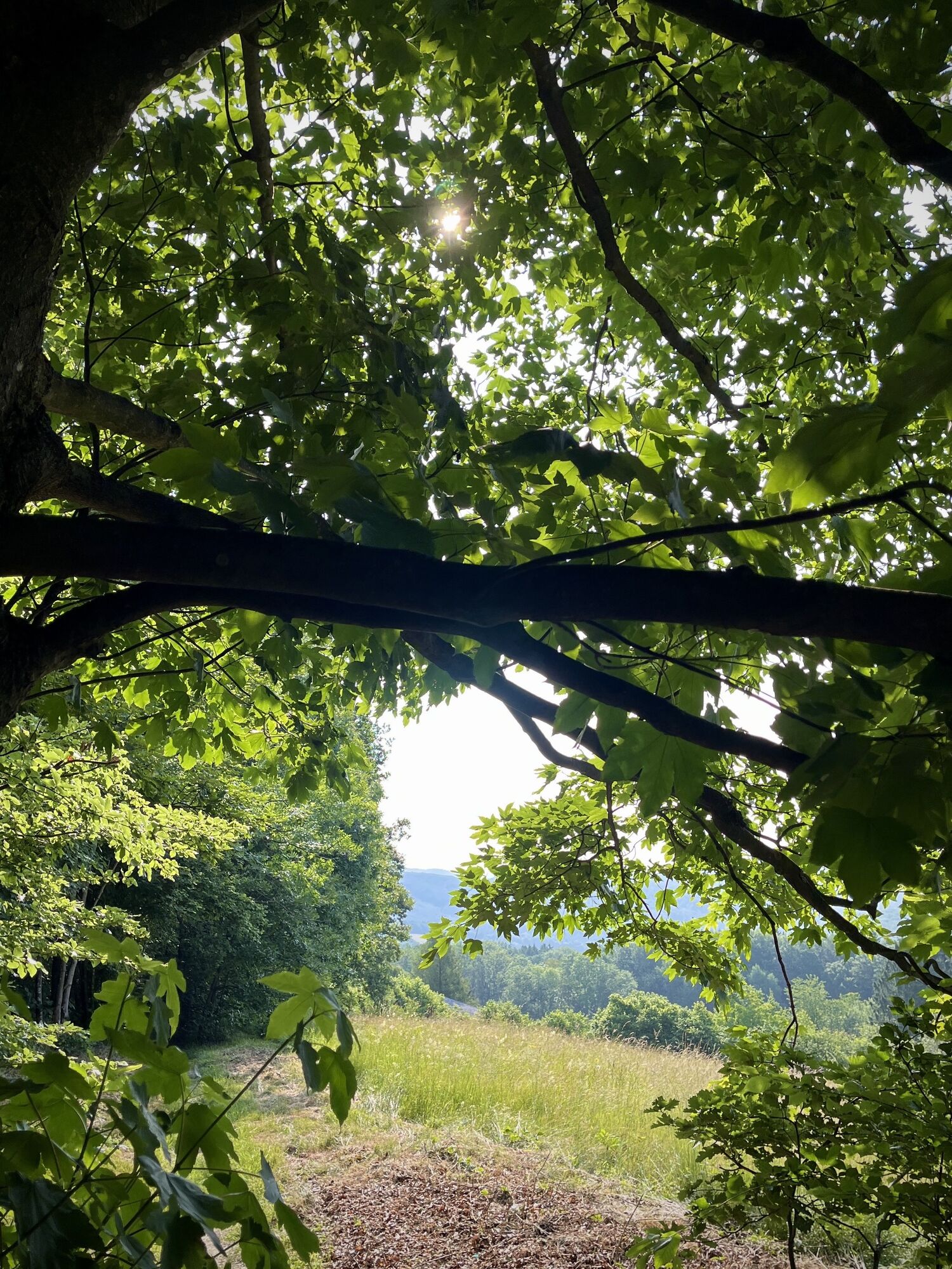
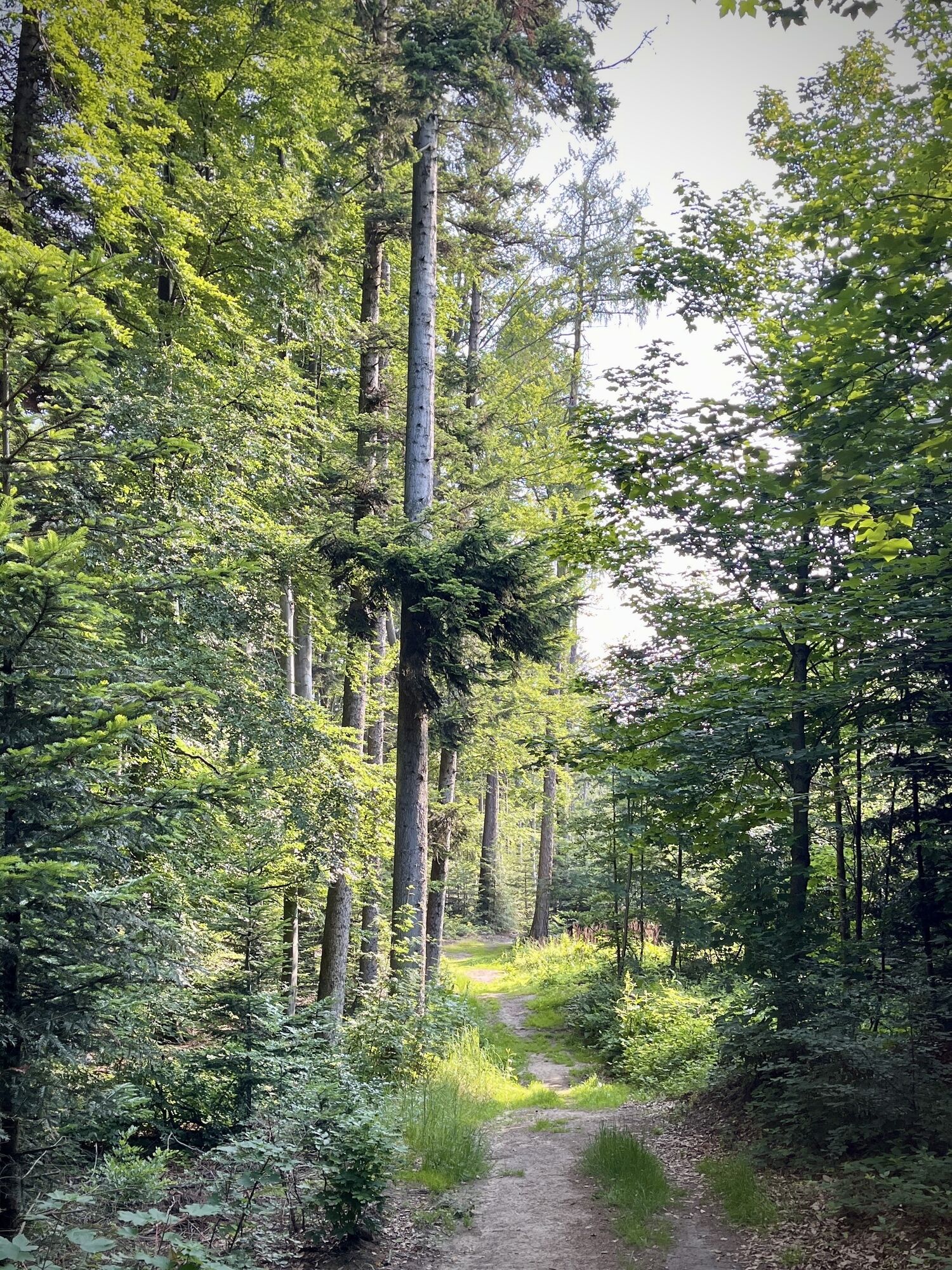
From Dürrwien Station we follow Friedhofstraße to the main street. There we turn right (W), then into the first alley on the left (S). We follow the path to the highway bridge and pass the wildlife fence (Pressbaum circular hiking trail), until we reach a white-blue-white marked hiking trail straight ahead. We follow it to a marked power pole crossing the path, which leads us left into the forest. At the end we reach a crossroads that leads us right to Pfalzberg. At Pfalzberg we follow the white-red-white marked hiking trail (route 2) to the right and follow the signposts towards Kaiserbründl. We encounter the white-yellow-white marked hiking trail and follow it to an asphalt road (Ober Kniewald). Here we follow left (SW) the red-white-red marked hiking trail, which leads us over Ober Kniewald Street – it continues on the other side of the street towards Jochgrabenberg. We reach hiking trail 04 (red-white-red) and follow it towards Rekawinkel-Troppberg to a crossroads where we turn right on a signpost towards Eichgraben/Rekawinkel (white-red-white). We follow it downhill to after the highway underpass. There we choose the right path and immediately after the left path. On the meadow we go northeast until we reach the first houses. Now we follow the yellow-green, white-red-white marked path towards Rekawinkel and finally the main street to the right towards the station.
sturdy footwear, water, rain protection
Steep in stages! At the beginning of the hike, you have to accept a short stretch parallel to the highway
Despite the most careful research, there may be unexpected short-, medium- or even long-term closures on the routes (e.g., due to forestry closures by landowners). Parking options recommended by us may be private or subject to charges – please pay attention to on-site signage. Some paths may partially or entirely lead through fee-charging businesses/areas (e.g., nature parks or gorges). This is usually explicitly indicated in the description. All information is provided without guarantee and using the paths is at your own risk. Any path closures and notes from hunters and landowners must be observed.
Starting point: By train to the station "Dürrwien Station"
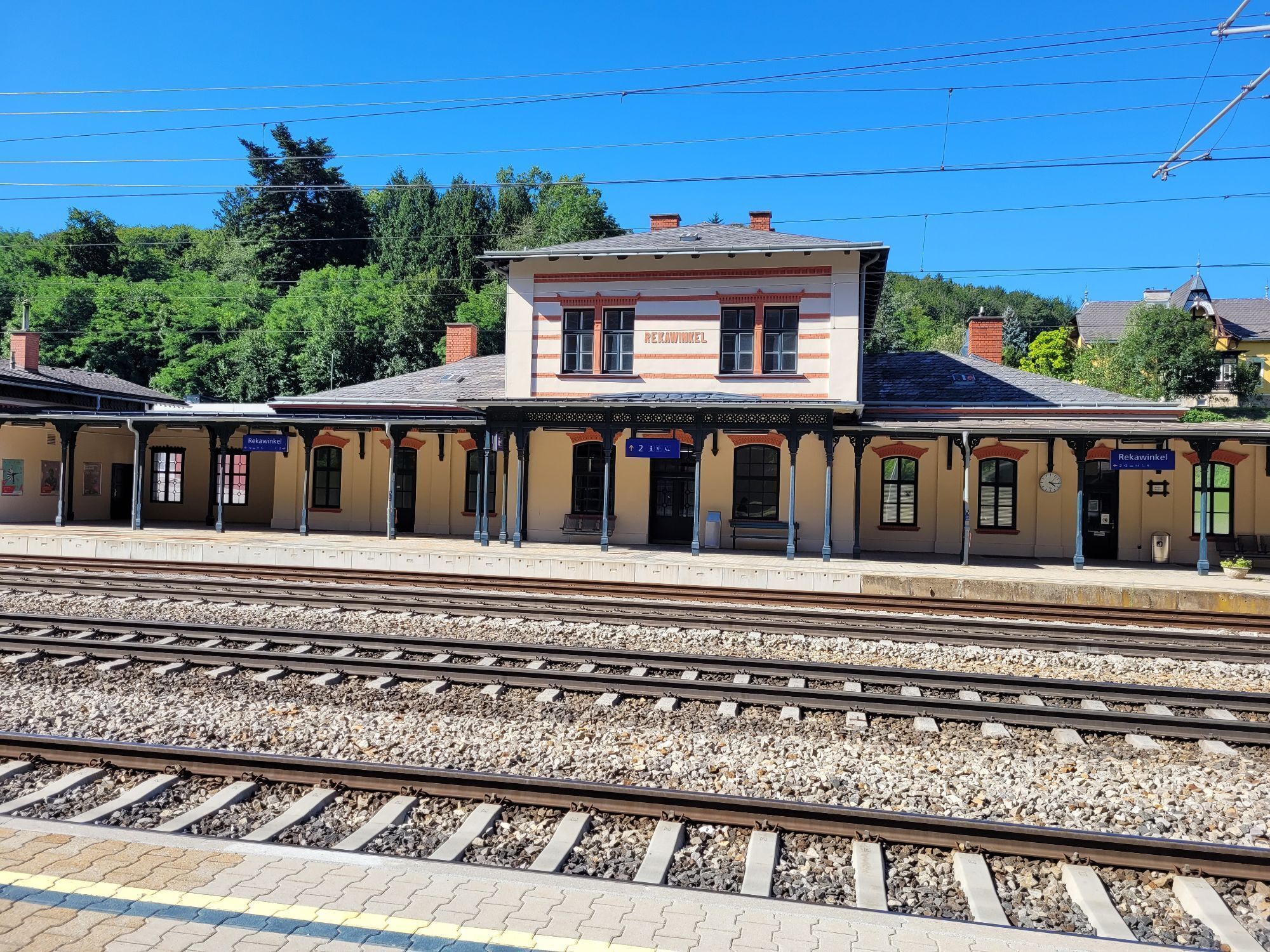
End point: By train or bus to the station "Rekawinkel Station"
Some parking in Dürrwien
P+R Rekawinkel Station
Wienerwald Tourism GmbH
Hauptplatz 11, 3002 Purkersdorf
Tel.: 02231/62176
E-mail: office@wienerwald.info
Website: www.wienerwald.info
Places to eat along the route
Cafe Pension Familie ParzerGasthaus MayerTraditional inns nearby
Gasthaus SteinerhofUpdated on: 12/03/2020
Priljubljeni izleti v okolici
-
4.7
Schöpfl
svetlobaPohodništvo 9.52 km -
4.6
Stadtwanderweg 6 / Zugberg - Maurer Wald (lt. Beschilderung)
svetlobaPohodništvo 13.3 km -
4.6
Naturpark Sparbach
svetlobaPohodništvo 7.08 km -
4.5
Panorama hike Hafnerberg
svetlobaPohodništvo 8.78 km -
4.6
Rundwanderung Gablitz Gemeindeamt - Troppberg - Rabenstein - Gablitz Gemeindeamt
svetlobaPohodništvo 12 km -
4.0
Schöpfl von Sankt Corona
srednjaPohodništvo 10.1 km -
4.5
von Purkersdorf zur Rudolfshöhe
svetlobaPohodništvo 4.72 km -
4.3
Rund um die Kartause Mauerbach - Angelos wohininundumwien.at
svetlobaPohodništvo 4.90 km -
4.1
Mauerbach - Tulbinger Kogel
svetlobaPohodništvo 12.1 km -
4.6
Steinbruchsee
svetlobaPohodništvo 8.07 km
Pohodništvo in sledenje


Ne zamudite ponudb in navdiha za naslednje počitnice
Vaš e-poštni naslov je bil dodan na poštni seznam.