







Dreiföhren path up to Kohlreithberg, Neulengbach
This varied tour offers plenty to see. Passing through diverse landscapes—sometimes mystical coniferous forests, sometimes imposing beech groves—the trail takes you past several unique sights to the tour’s...
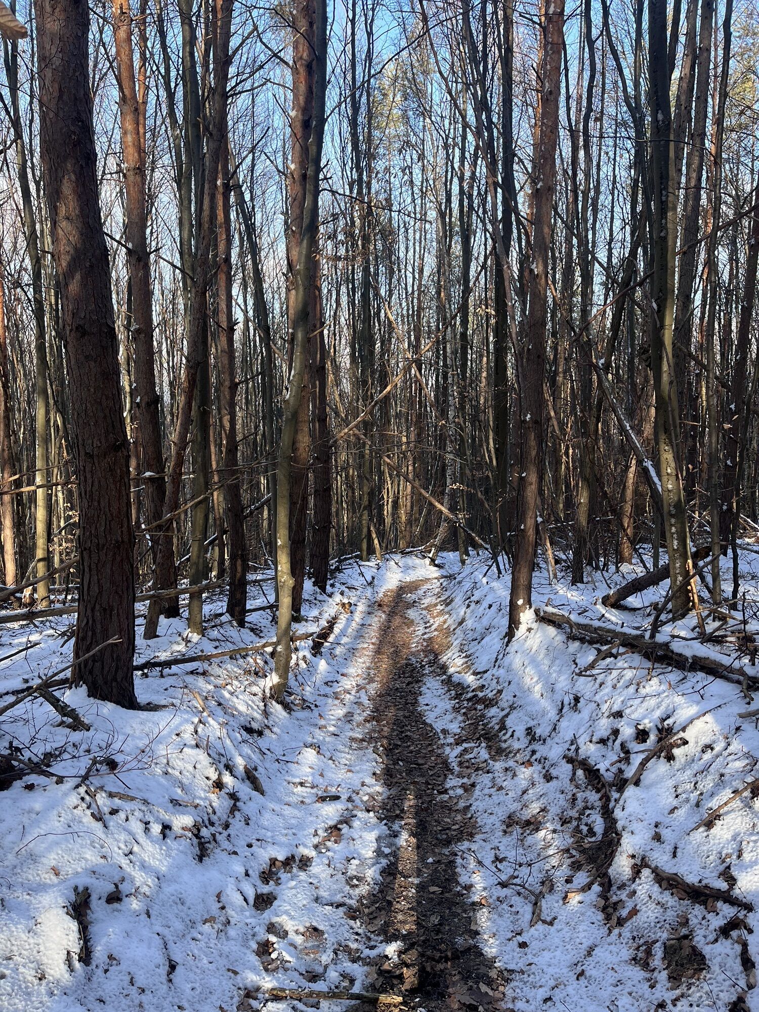
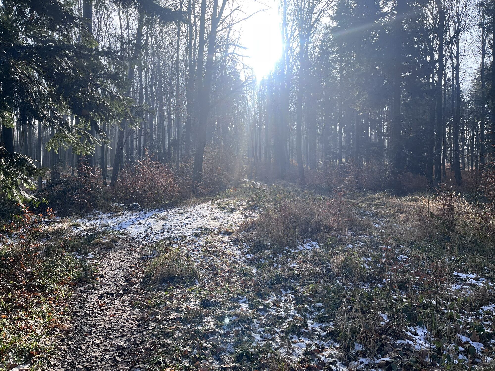
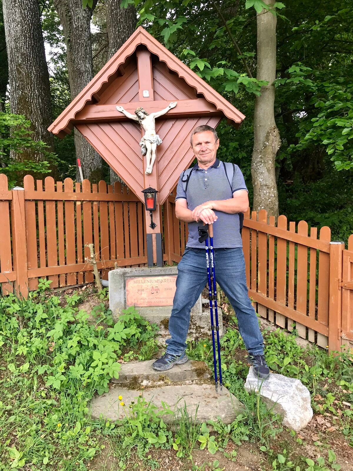
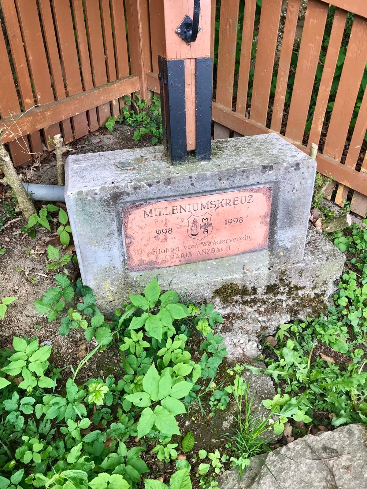
This varied tour offers plenty to see. Passing through diverse landscapes—sometimes mystical coniferous forests, sometimes imposing beech groves—the trail takes you past several unique sights to the tour’s finale: the majestic view from the Kohlreithberg overlooking the Anzbach Valley. In some places, the trail leads through the expansive pastures of the region’s cattle and horse farms. The first part of the trail has been used by hikers since 1899. It leads to the Dreiföhren Chapel, built in 1856. This small pilgrimage site was of great importance even in the past; an image of the Virgin Mary is said to have been here as early as the 18th century. The chapel was donated by the clothmaker Regina Karner, as indicated by the initials “R 1856 K” on the altar rail. After stopping for refreshments at the nearby Waldschenke, you continue on to the Kohlreithberg. Along the way, you’ll pass a group of burial mounds from the Roman era, which prove that the area has long been a settlement site. Once you reach the summit, you can enjoy a fabulous view from the newly erected Millennium Cross. The panorama from here takes in Neulengbach Castle, the pilgrimage site of Maria Anzbach, the Buchberg, and the surrounding countryside stretching far beyond the Danube. Don’t forget to sign the summit logbook here. Although the climb to this 516-meter-high peak in the Vienna Woods can be challenging in places, it’s definitely worth the effort.

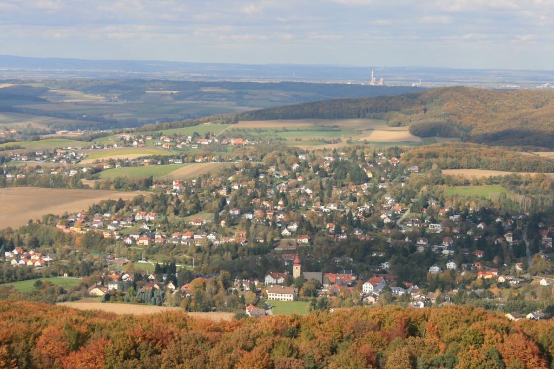
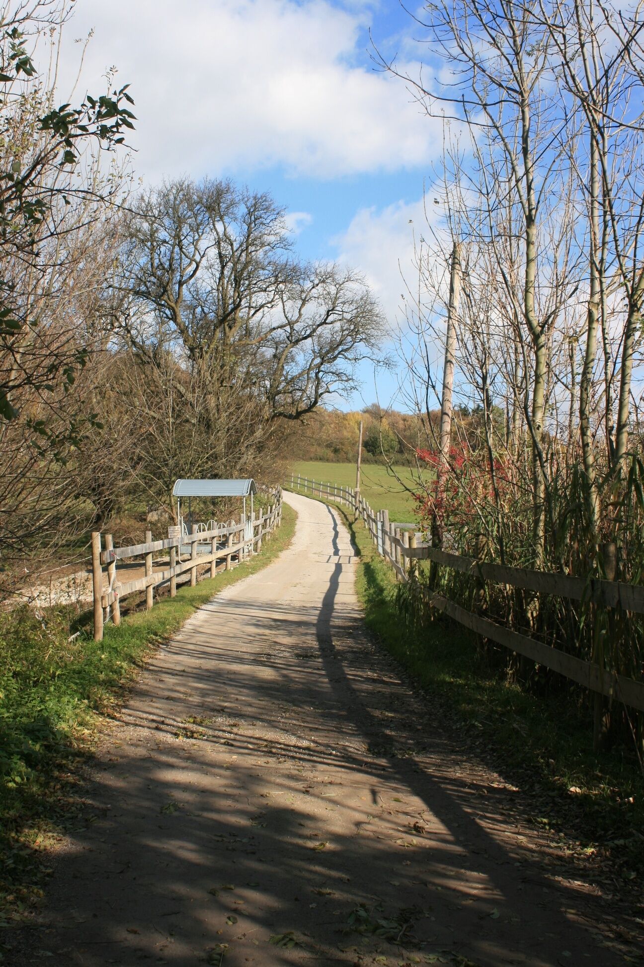

The route starts on the south side of Neulengbach Stadt station. From here, follow the red marker towards Dreiföhren to the right onto a small footpath, the Edersteig. At its end, turn left onto Schubertstraße and then right onto Dreiföhrenstraße. After about 600 meters, the buildings end here, and you enter the forest. You reach Dreiföhrenhof and keep right. This leads over a small brook deeper into the forest. Alongside the watercourse, the path goes uphill a little to the Dreiföhren Chapel and the adjacent forest tavern. Then continue following the red marker uphill on forest roads through the woods. You then reach a clearing, where you keep left. After about 400 meters, the red marker ends at a junction. From here, follow the blue marker towards Eichgraben. This path leads after a few meters to a clearing, where you can take a short rest at the picturesque wayside shrine “Rotes Kreuz.” Then continue through the forest, passing Roman-era burial mounds. After about 200 meters, the forest ends, and you can enjoy the view of Altlengbach. At the next junction, turn right and then walk along the road. You reach the settlement of Hart. Here, take the first left at the next junction and follow the blue marker towards Maria Anzbach. You reach the settlement of Kohlreith and cross the first junction straight into a fenced horse paddock. Here, a signpost shows the way to the Millennium Cross to the right. Follow it, thus entering the lovingly designed nature trail at Kohlreithberg. After about 500 meters, you reach the farm at the summit. Here, a short trail leads to the Millennium Cross, where you have a stunning view of the Anzbachtal, Neulengbach, the Buchberg, and the Eichberg. After signing the summit book, you can return to the starting point either via this path or down the other side of the mountain through Maria Anzbach.
Normal hiking equipment
A1 highway, Altlengbach exit. Then take the B19 toward Neulengbach, then the B44 toward Neulengbach
or
A1 highway, St. Christophen exit. Then take the B19 toward Neulengbach, then the B44 toward Neulengbach
Travel Advice: Please check the route to the meeting point in advance and allow plenty of time. Be aware of possible traffic delays, road construction, or public transportation disruptions.
ÖBB Park & Ride facility, Neulengbach Stadt Station
Parking Note: Please follow local parking regulations and check for any parking fees or time restrictions. We recommend checking the parking situation in advance to ensure a stress-free trip.
Vienna Woods Tourism
3002, Purkersdorf, Hauptplatz 11
Tel. 02231/621 76
Fax 02231/655 10
Region Elsbeere Wienerwald
3040 Neulengbach, Kirchenplatz 82
Tel. 02772/524 84
Information Office Neulengbach
3040 Neulengbach, Wiener Straße 51
Tel. 02772/54160
Fax 02772/54560
info@neulengbach.com
www.neulengbach.gv.at
Pridobite vpogled Vedno v živo na mestu z več kot 9.500 spletnimi kamerami. bergfex Kot uporabnik Pro si lahko zdaj ogledate ustrezne spletne kamere za številne izlete v aplikaciji izleti iz. Tako si lahko neposredno ogledate trenutne razmere. Priljubljeni izleti v okolici
- 4.7
Schöpfl
svetlobaPohodništvo 9.52 km - 4.0
Schöpfl von Sankt Corona
srednjaPohodništvo 10.1 km - 4.4
Hegerberg
svetlobaPohodništvo 8.06 km - 4.6
Tut Gut Wanderweg Pressbaum 3
srednjaPohodništvo 12.5 km - 4.2
INNERMANZING Schoderleh Falkensteiner Htt. Hasenriegel Forsthof Edhof ret. 20230114
svetlobaPohodništvo 13.1 km - 4.7
Schöpfl von Kammhöhe aus
svetlobaPohodništvo 13.2 km - 4.5
Gföhlberg
svetlobaPohodništvo 6.83 km - 4.4
Circular hike to Buchberg lookout
svetlobaPohodništvo 9.24 km - 4.4
Von St. Corona auf den Schöpfl - Angelos Touren
svetlobaPohodništvo 6.68 km - 4.0
Wienerwaldsee walking
svetlobaPohodništvo 7.05 km
Pohodništvo in sledenje


Ne zamudite ponudb in navdiha za naslednje počitnice
Vaš e-poštni naslov je bil dodan na poštni seznam.





