







Thayatalweg
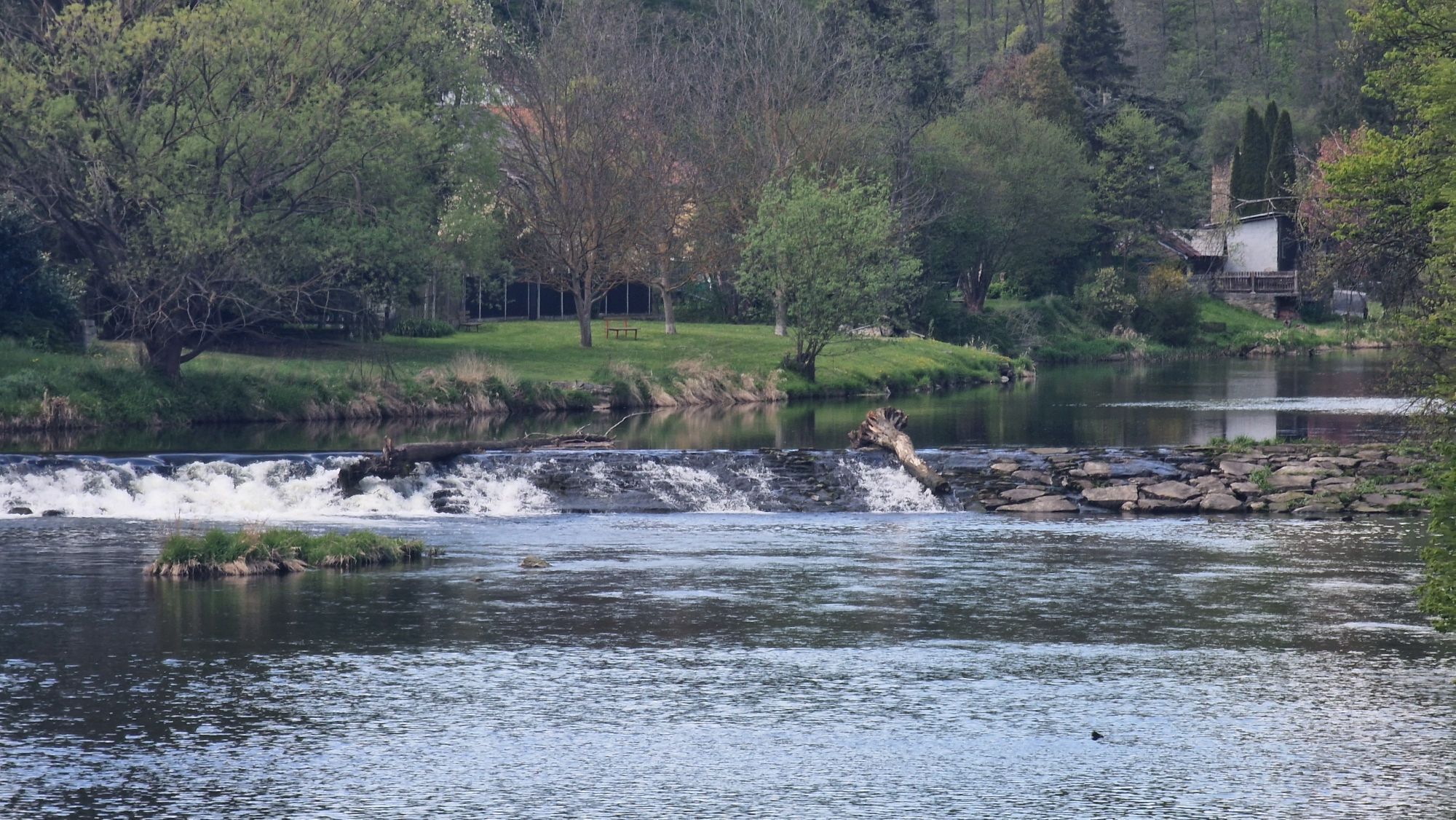
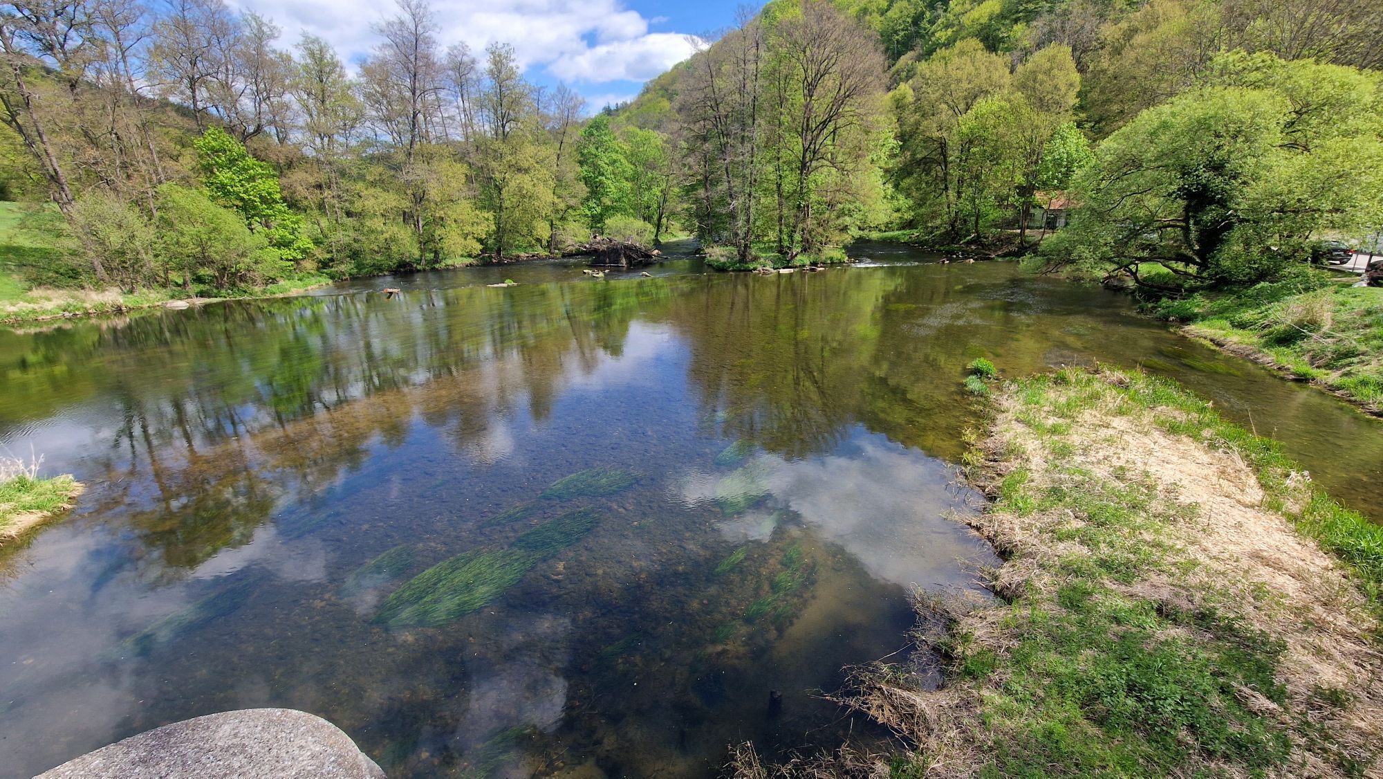
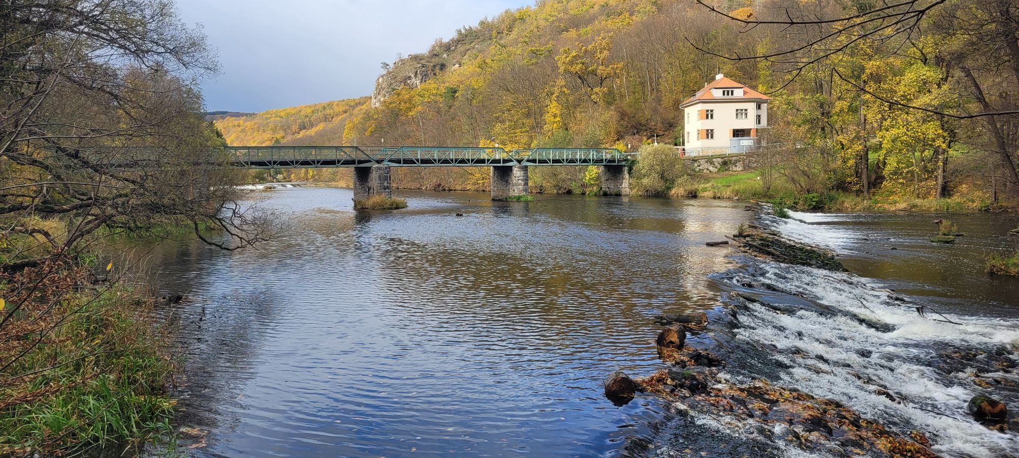
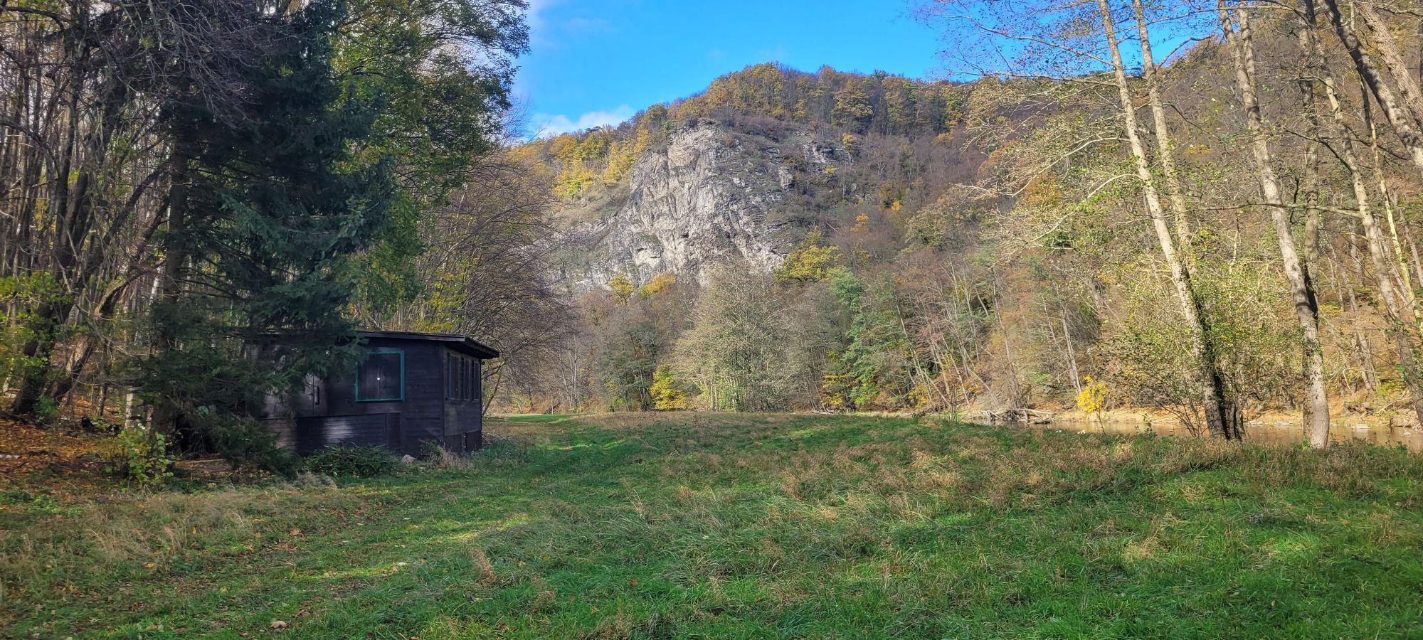
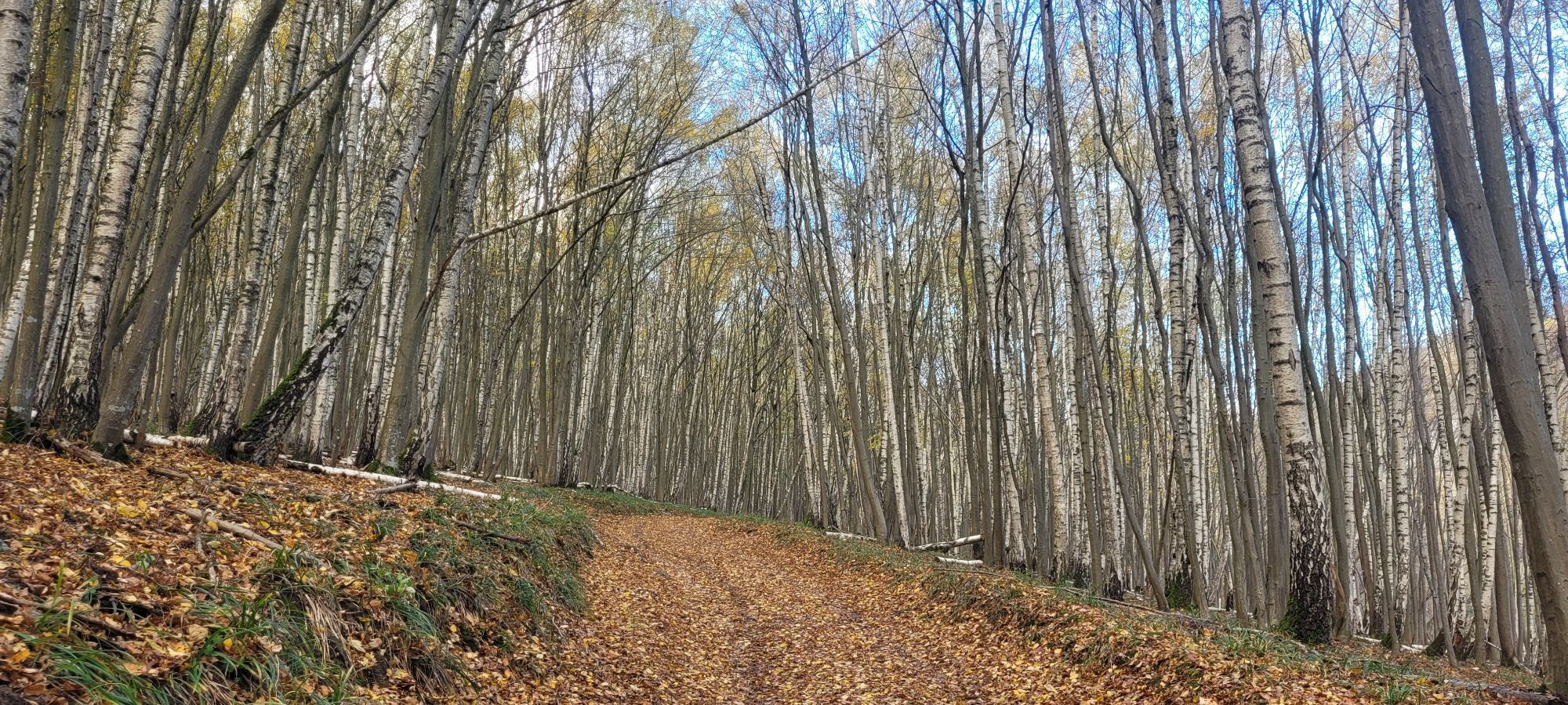
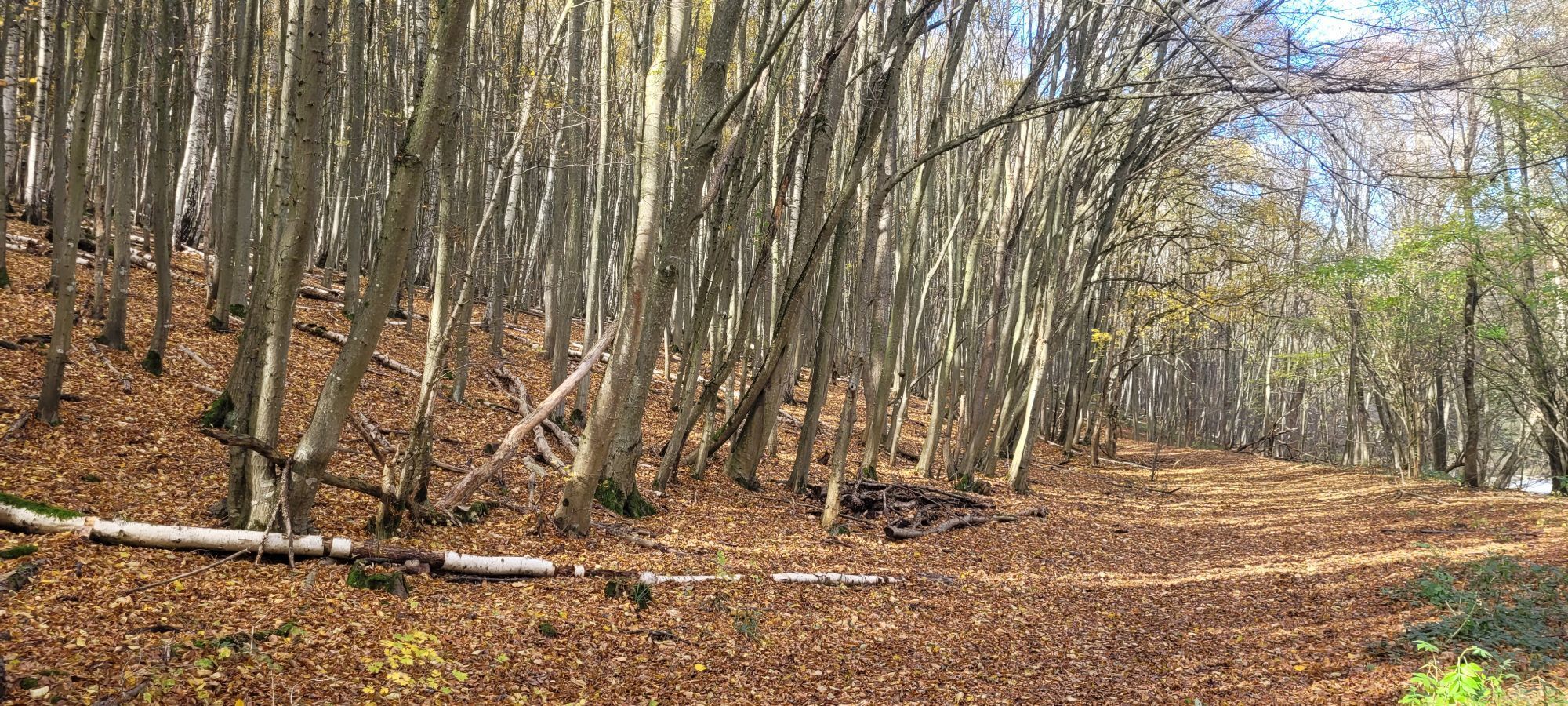
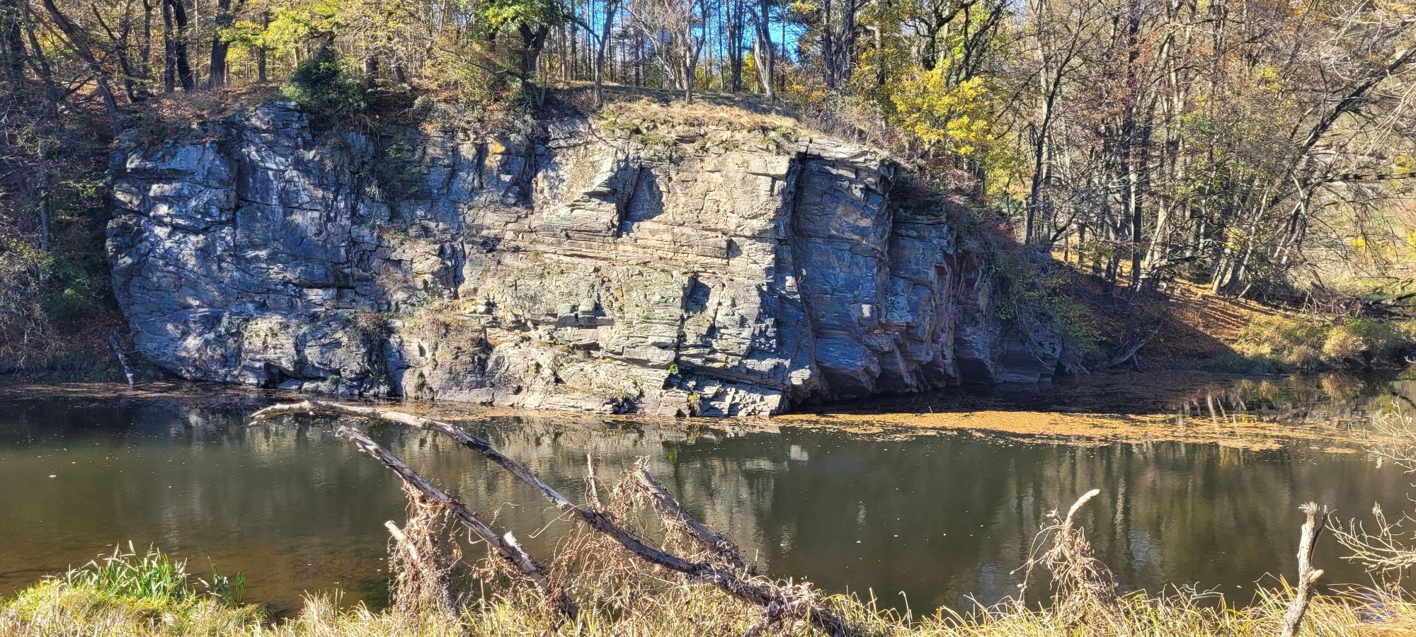
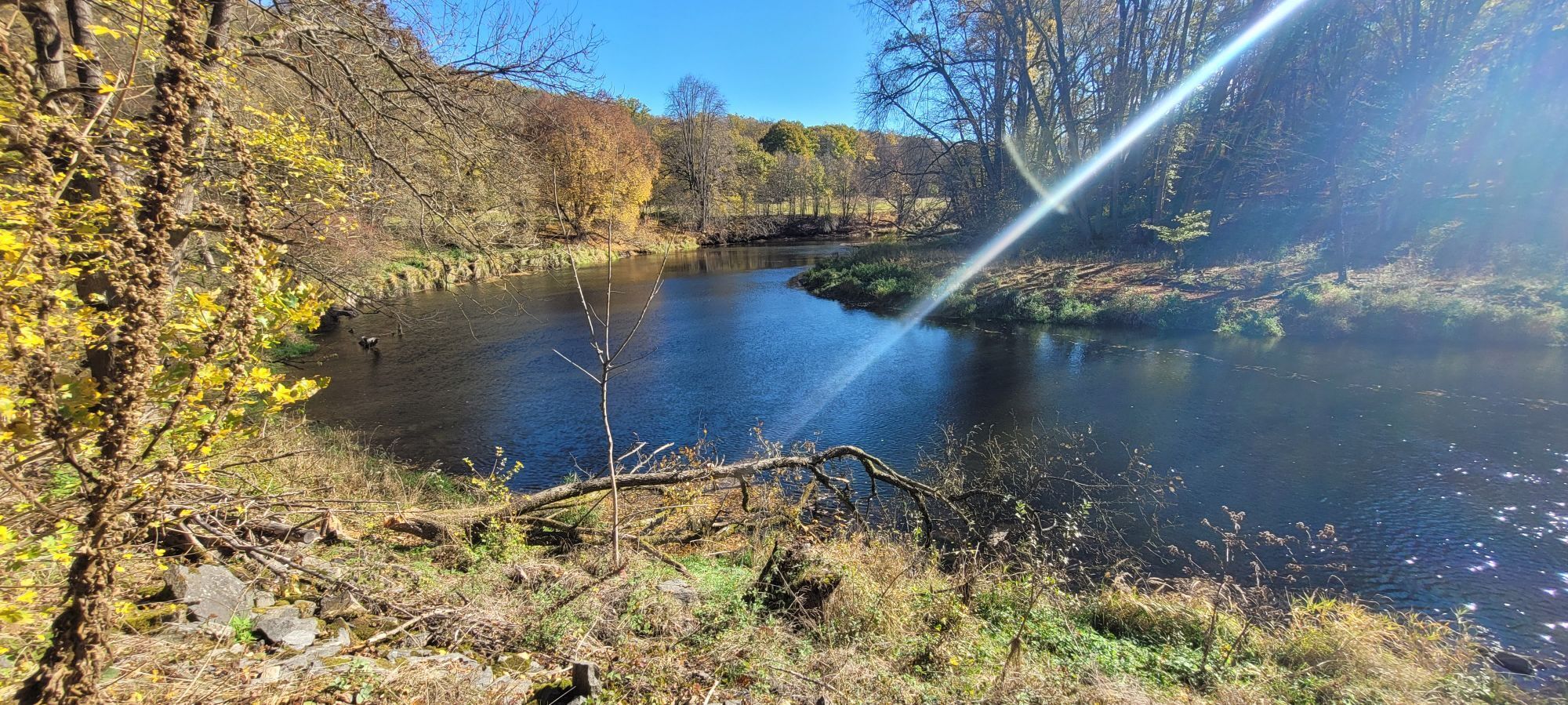


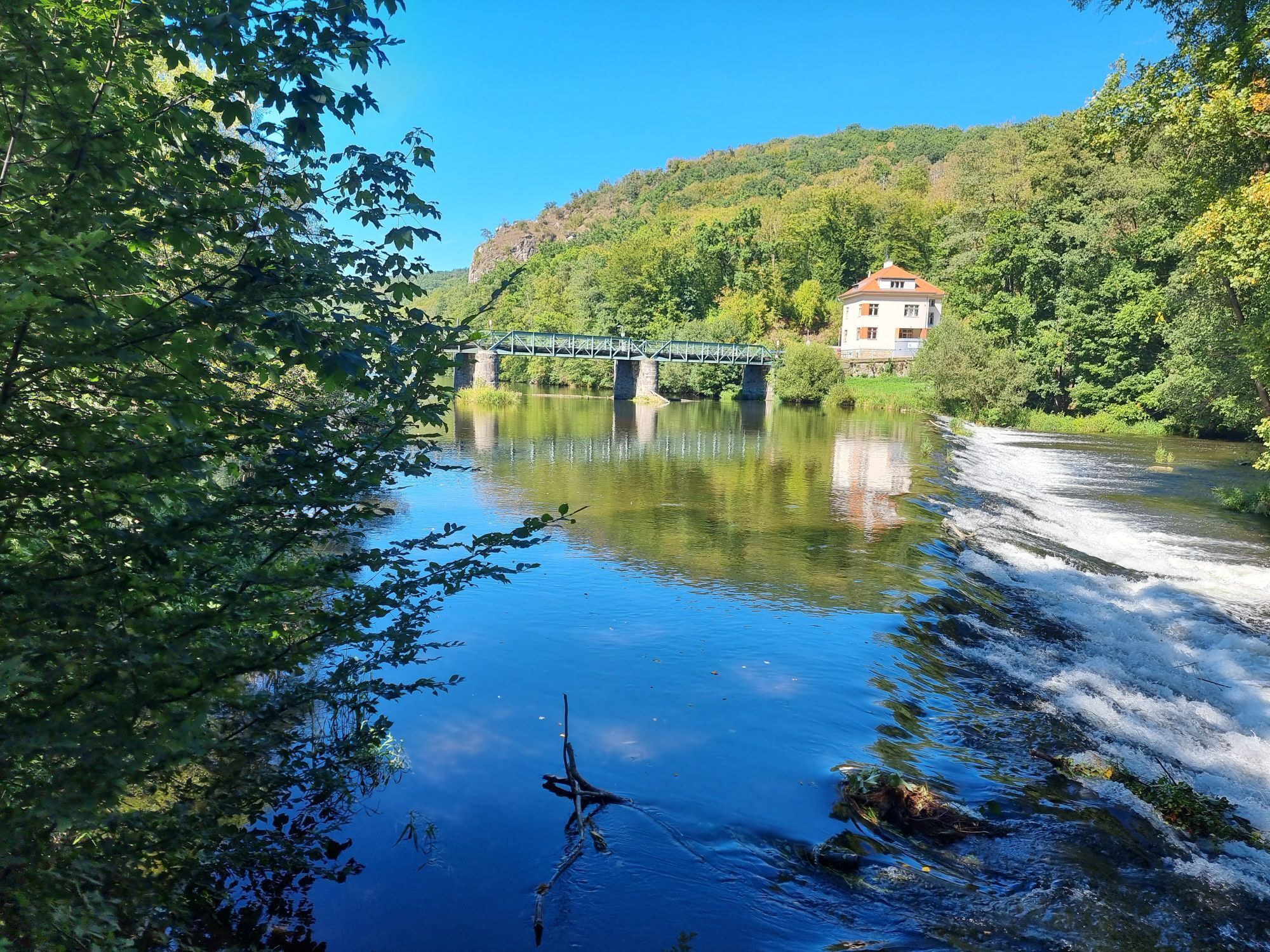


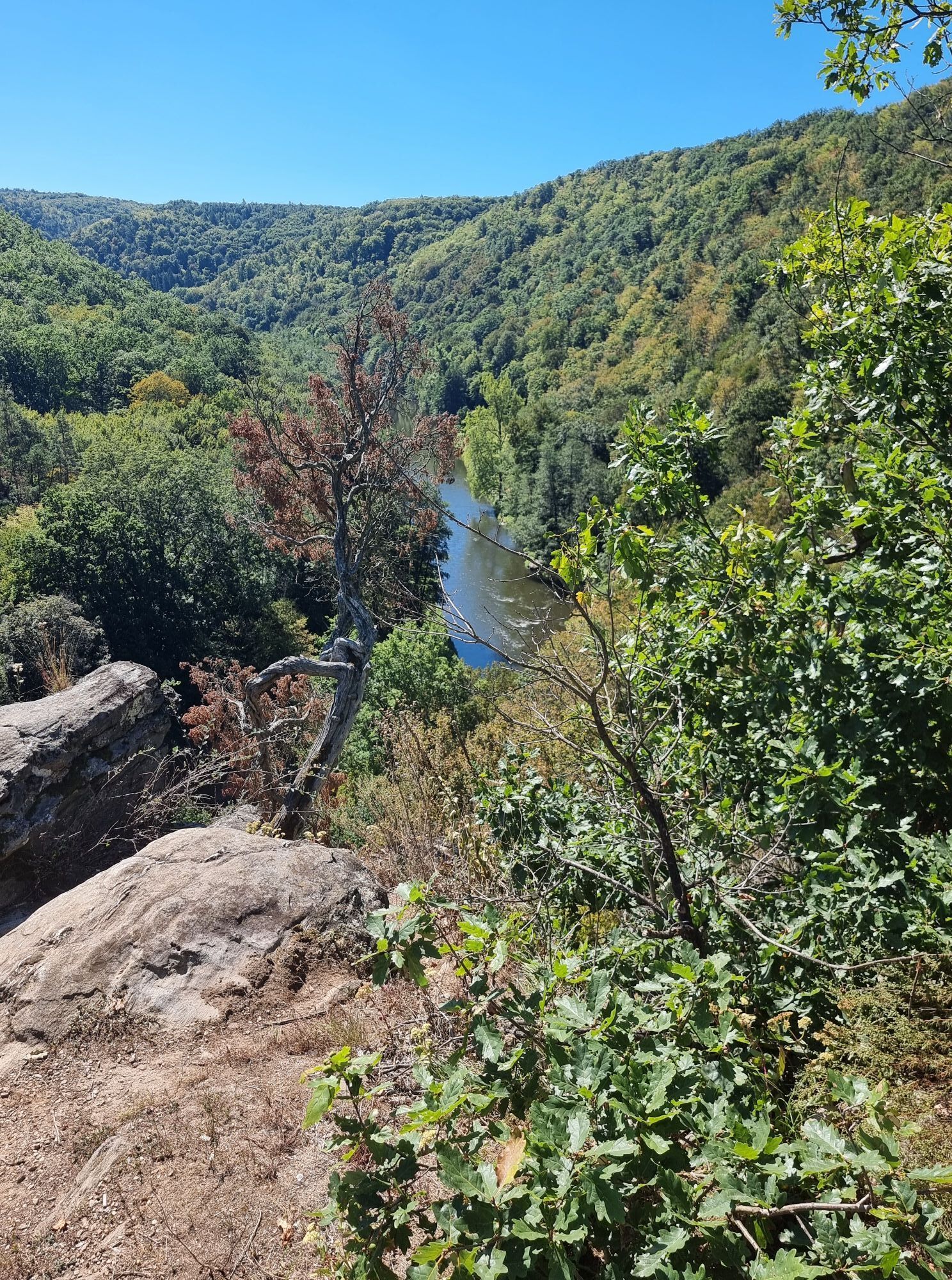
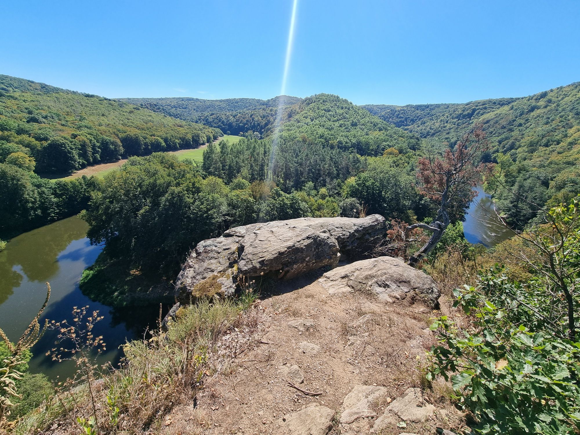
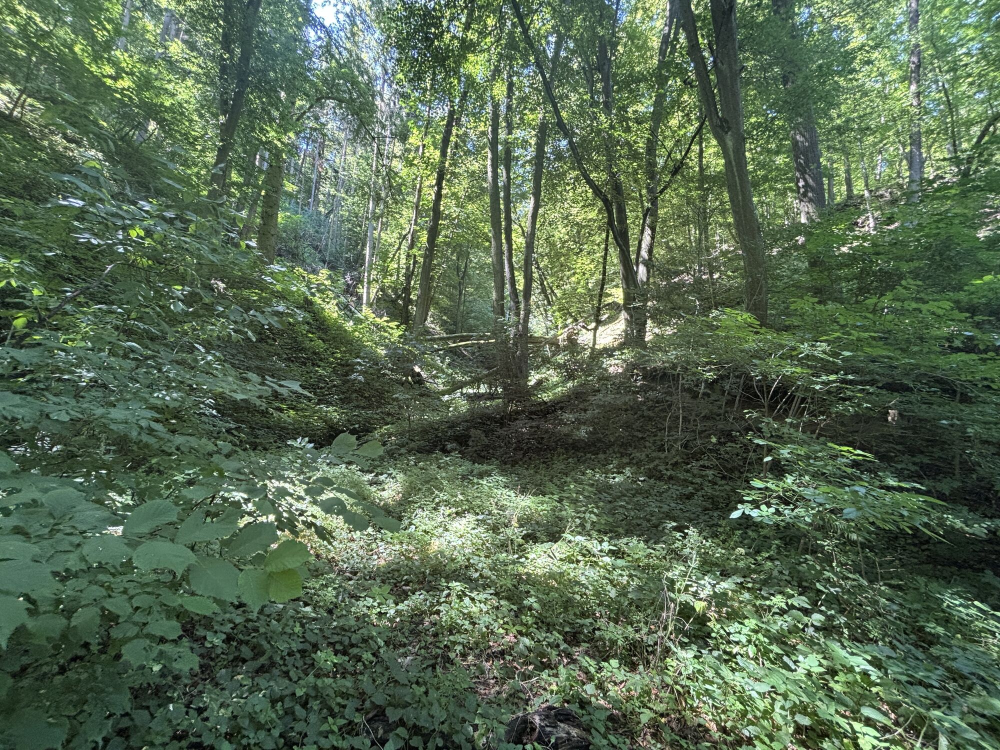
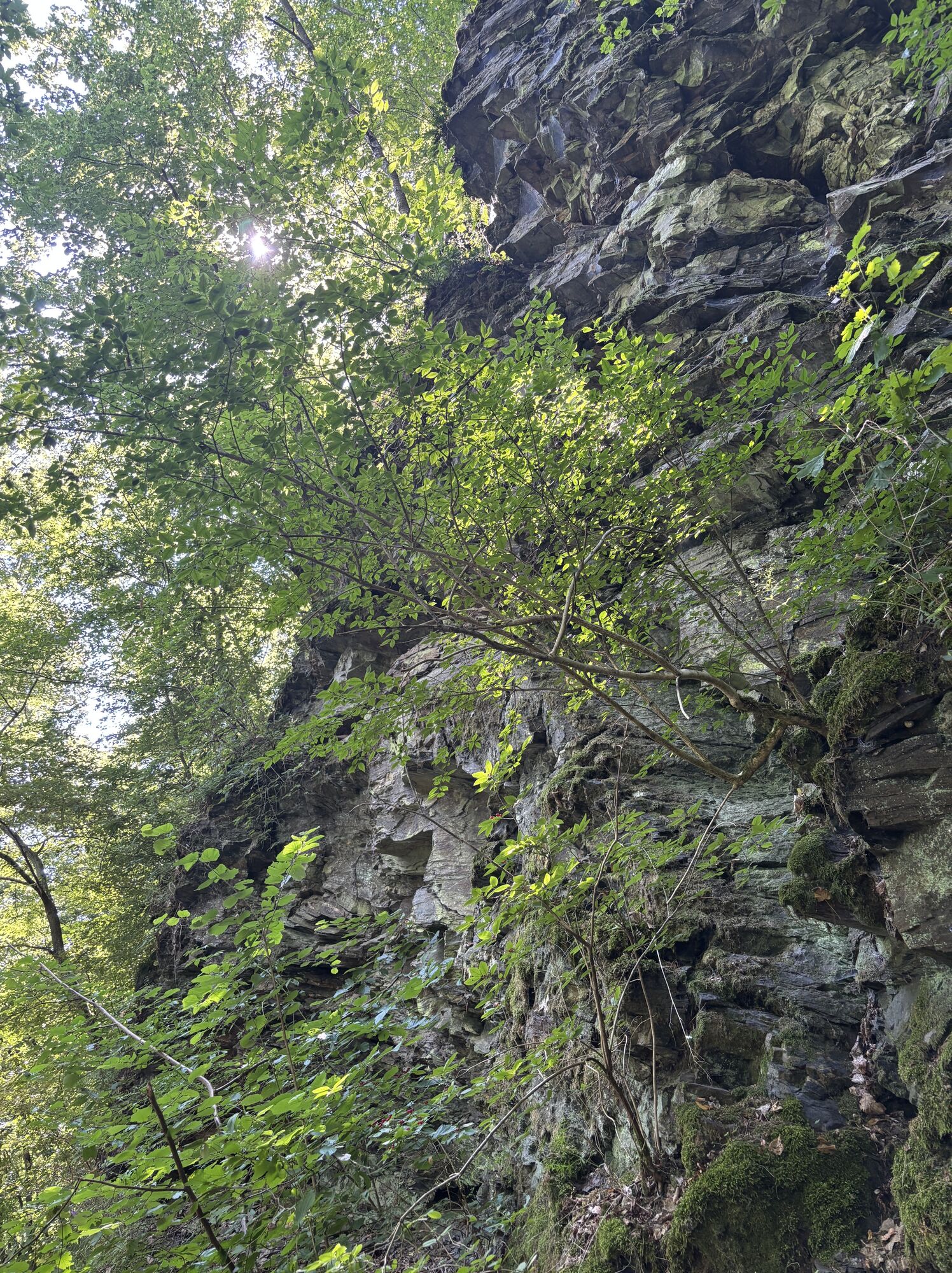
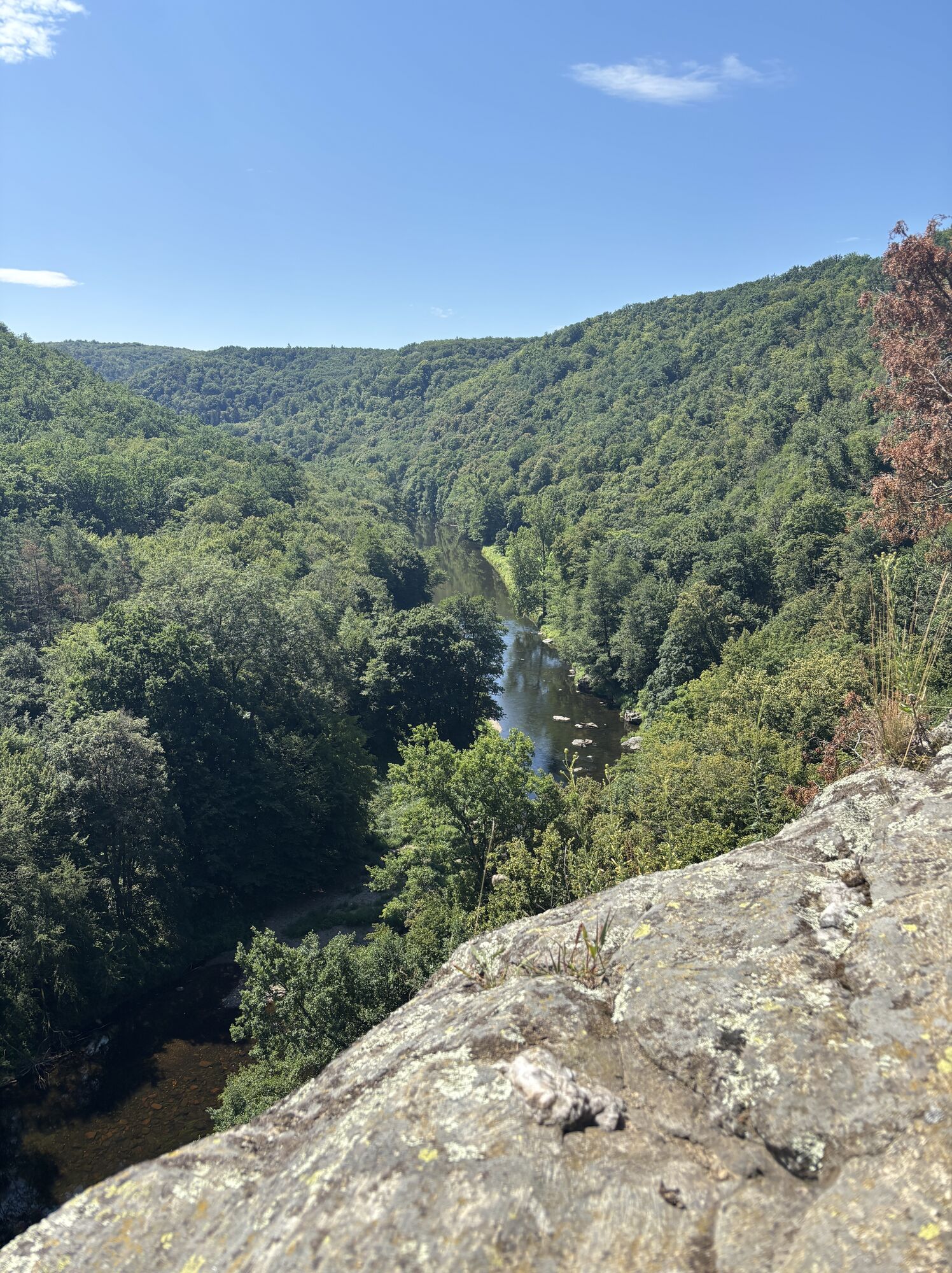
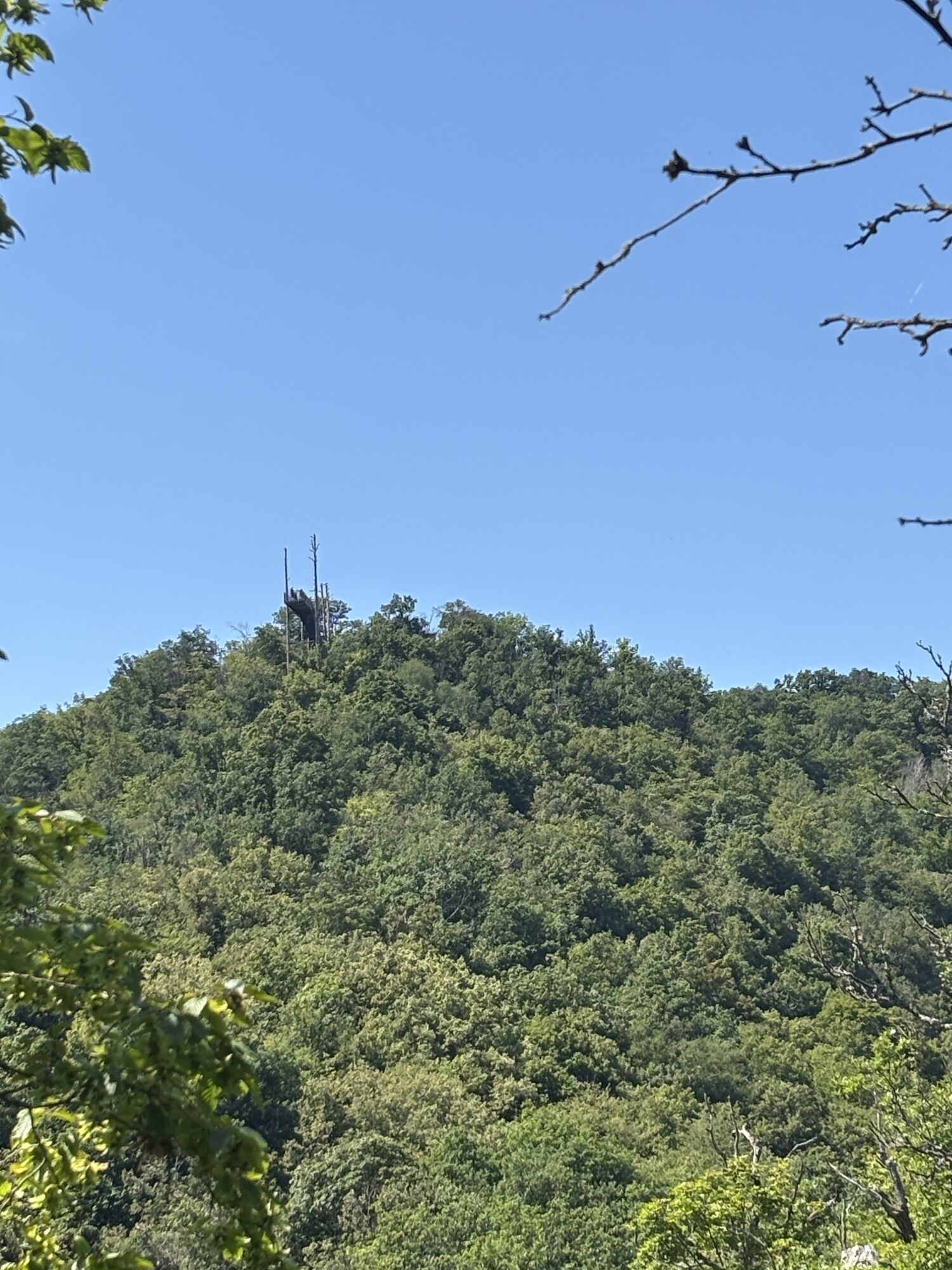
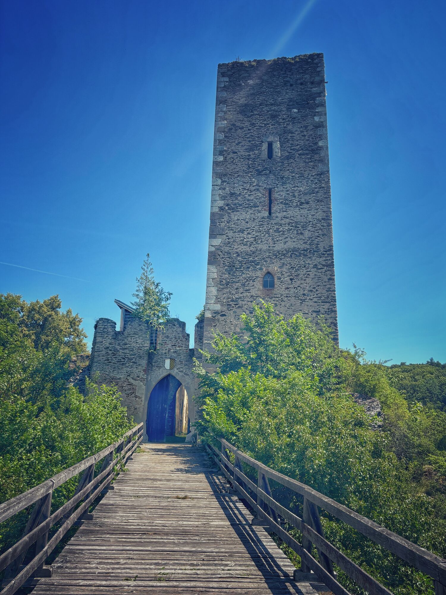
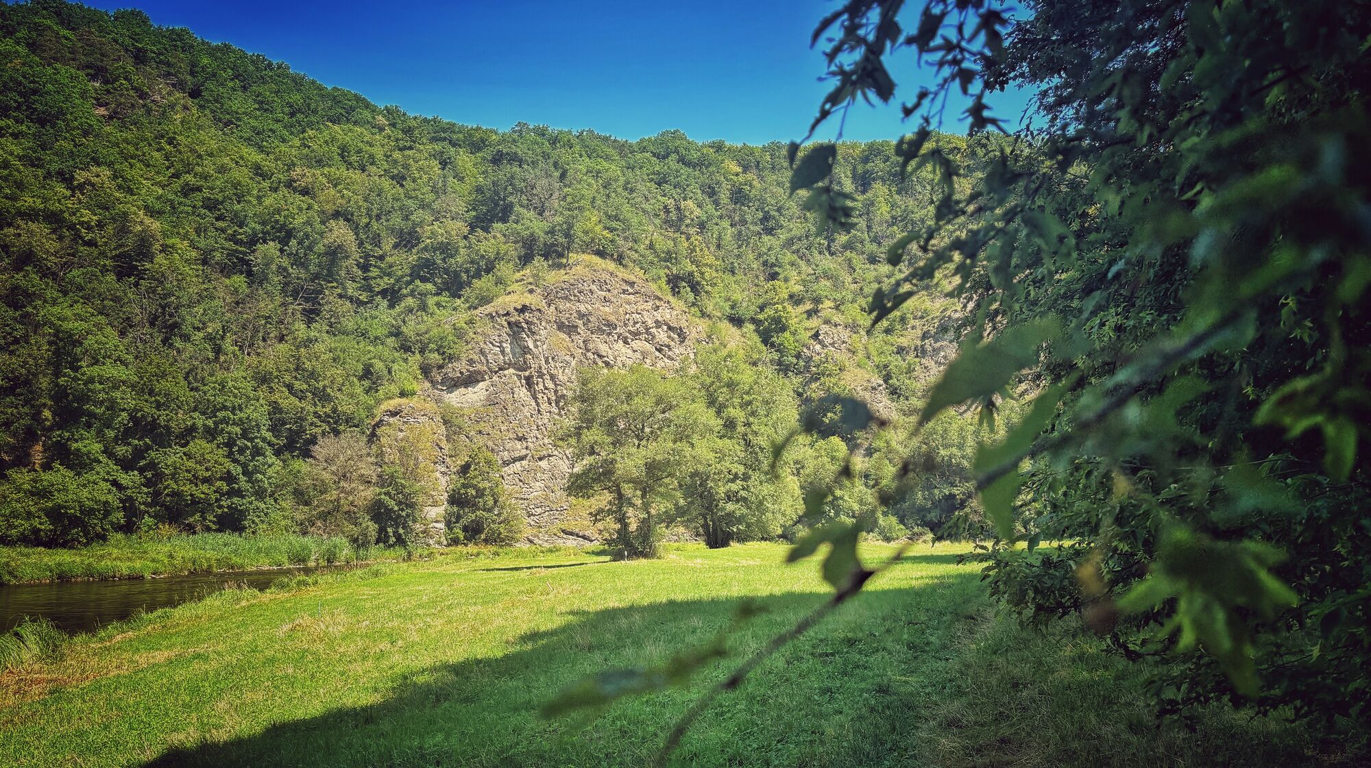
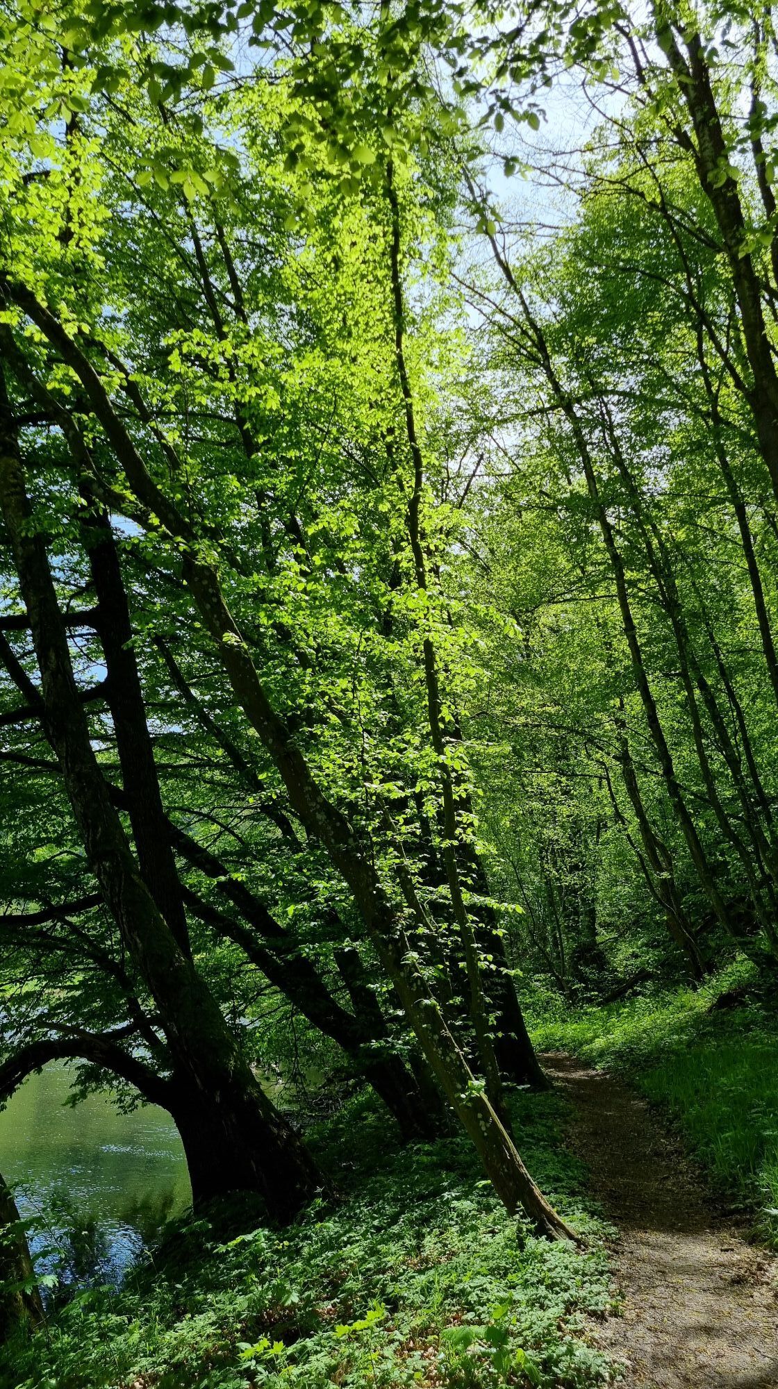
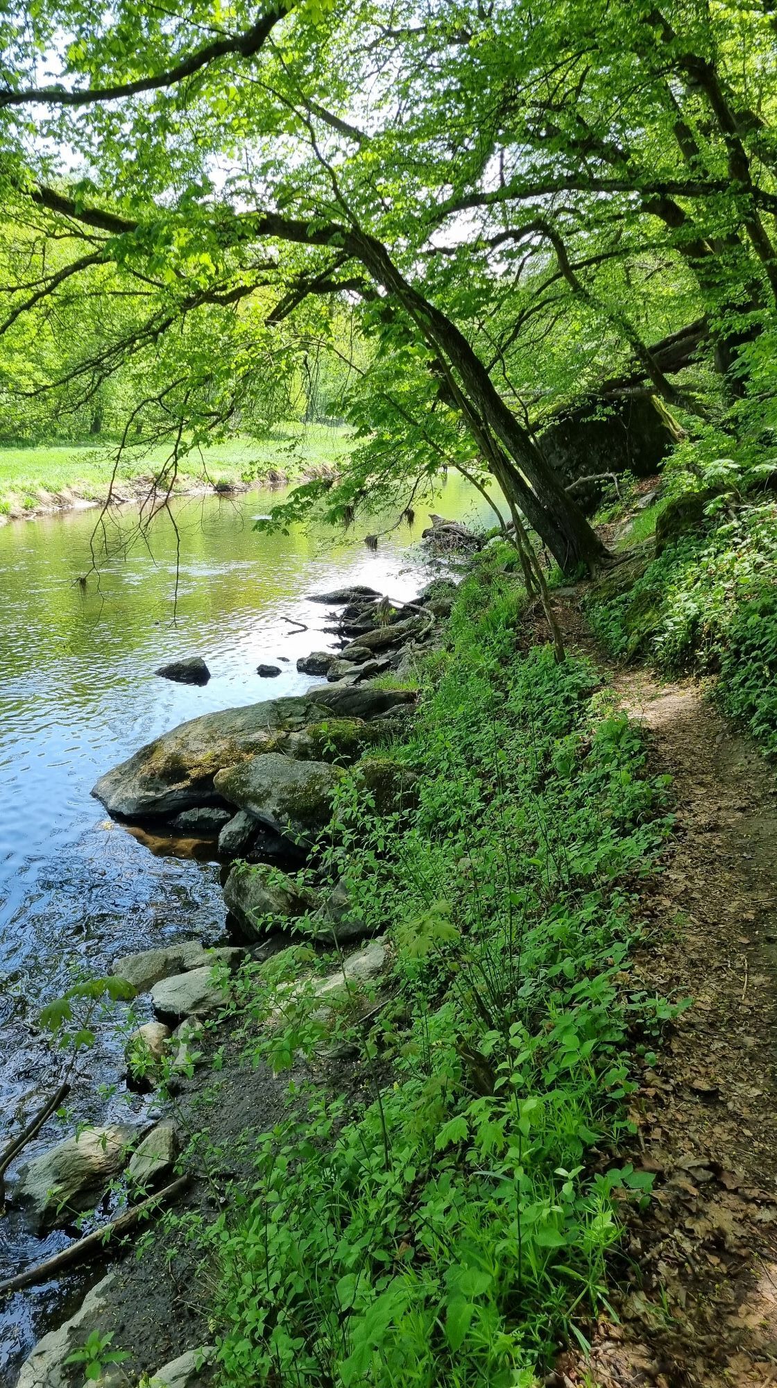
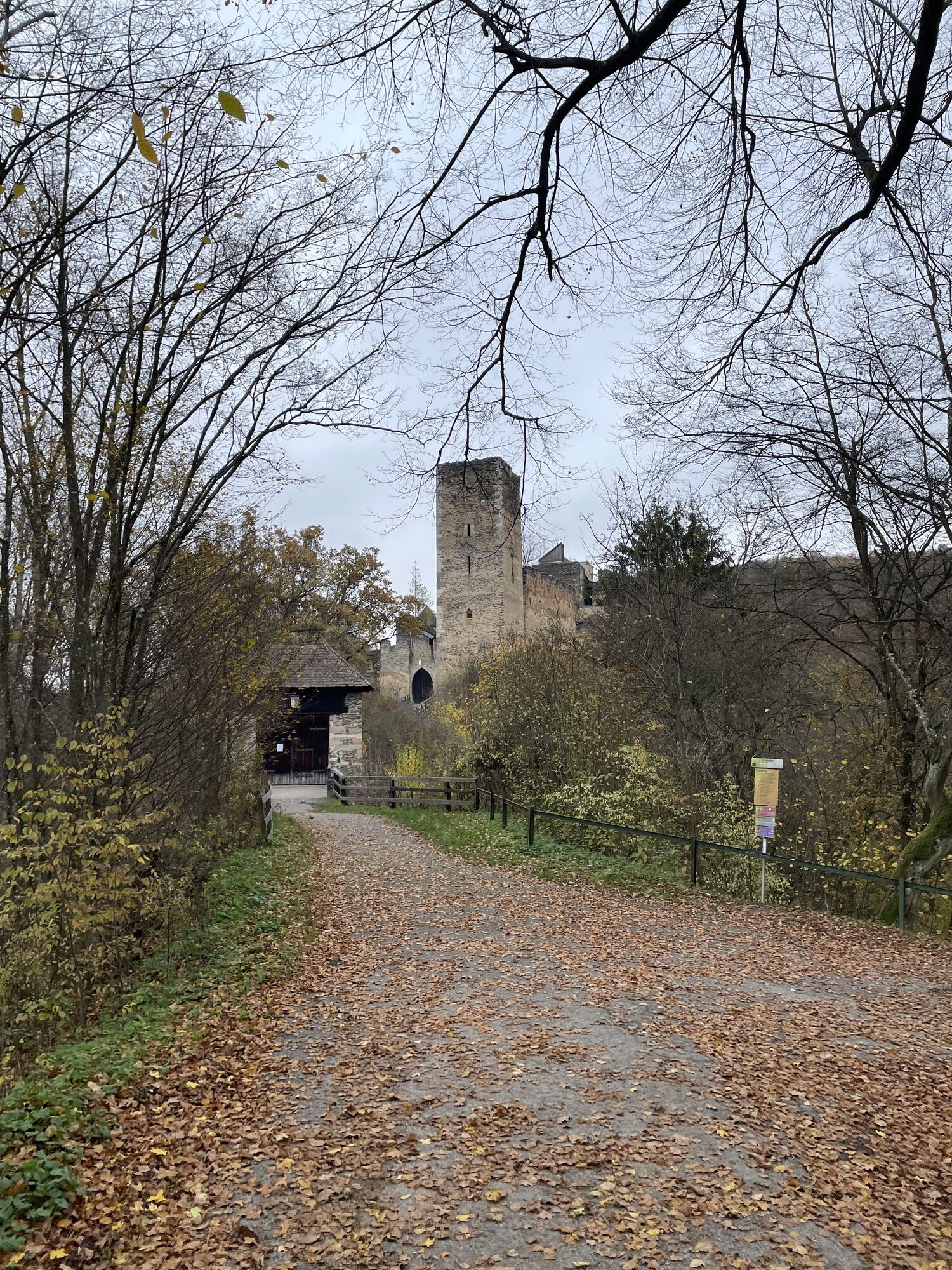
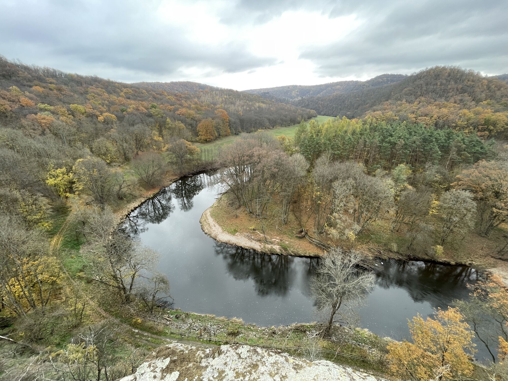
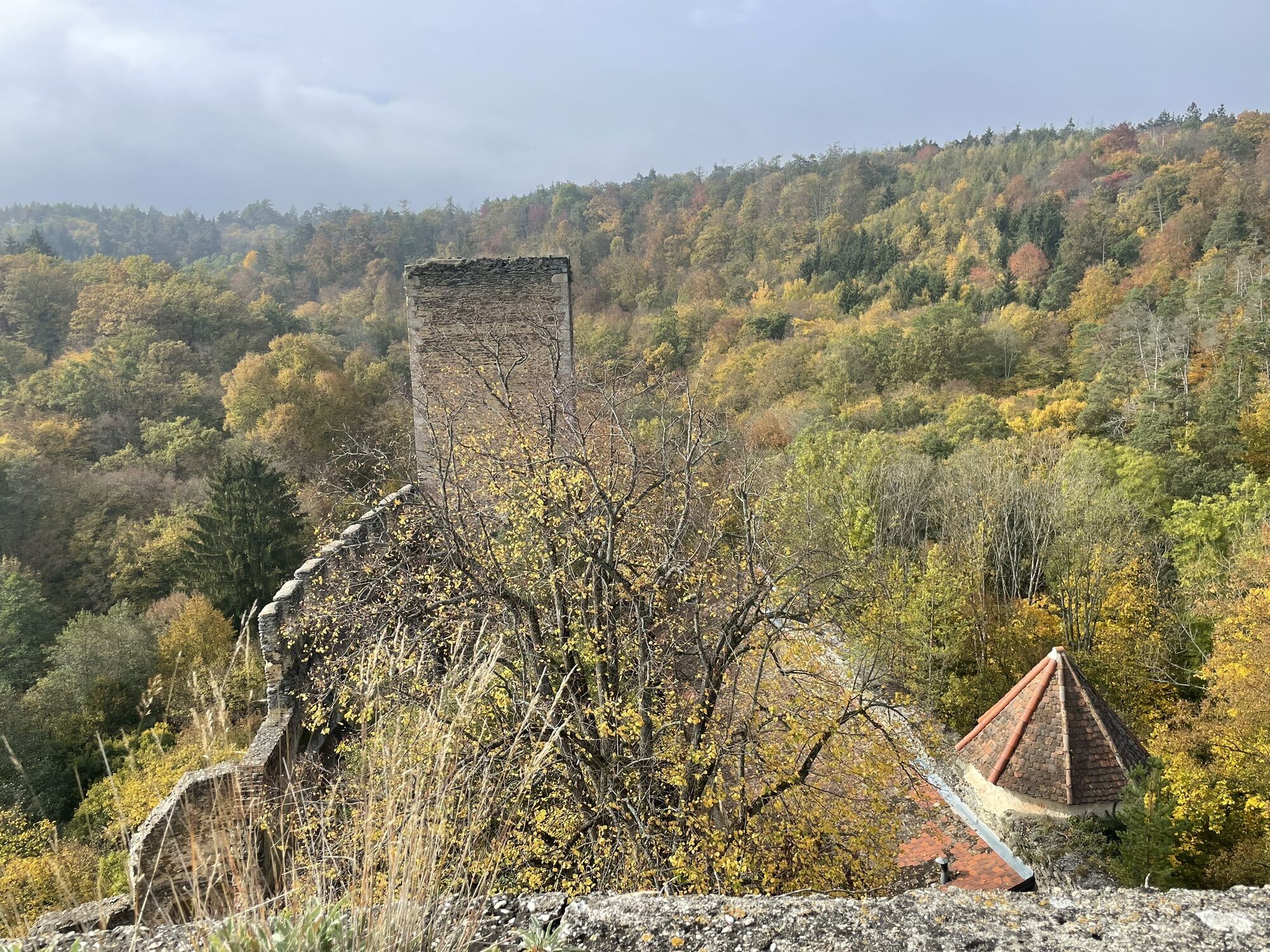
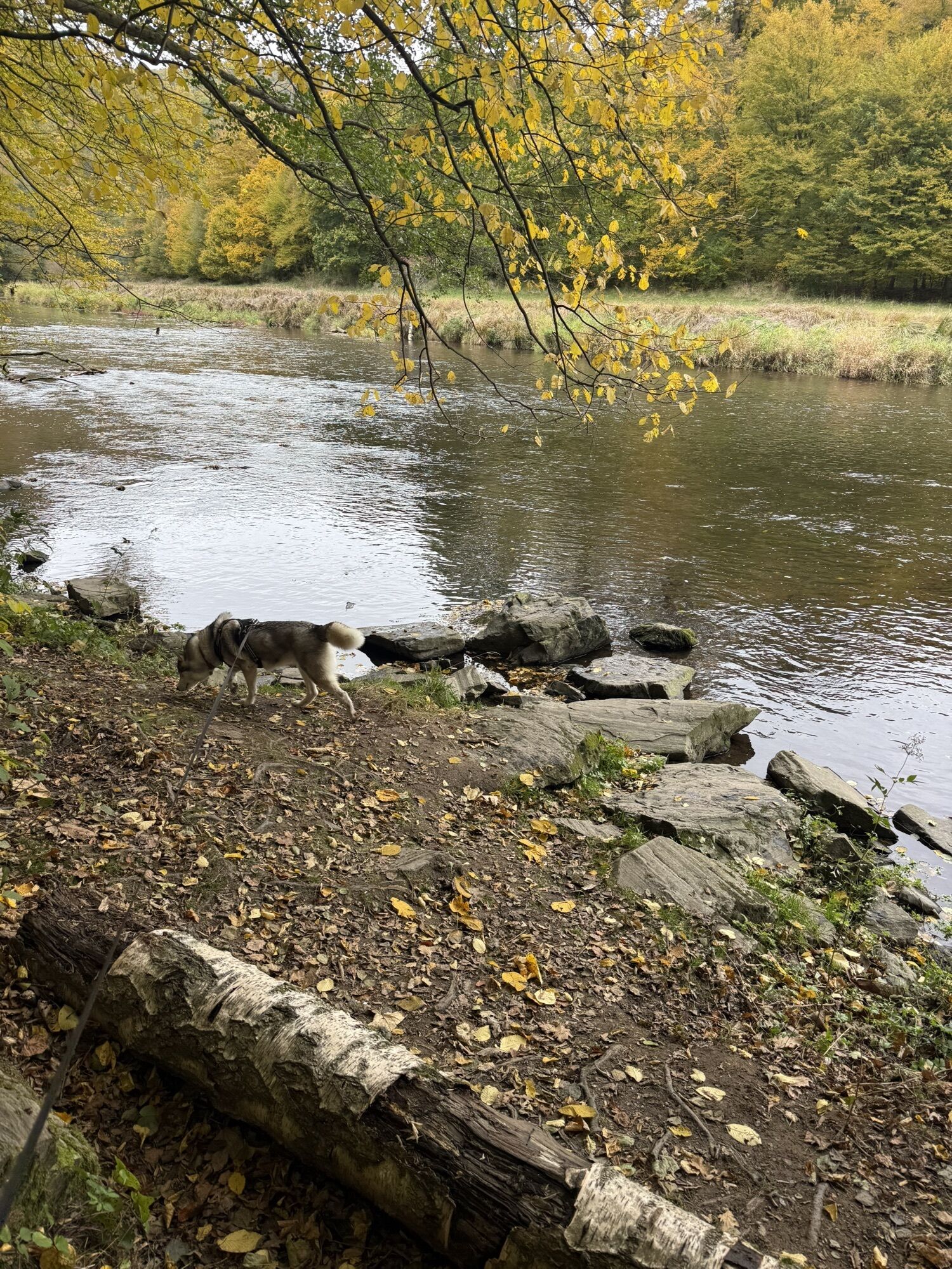
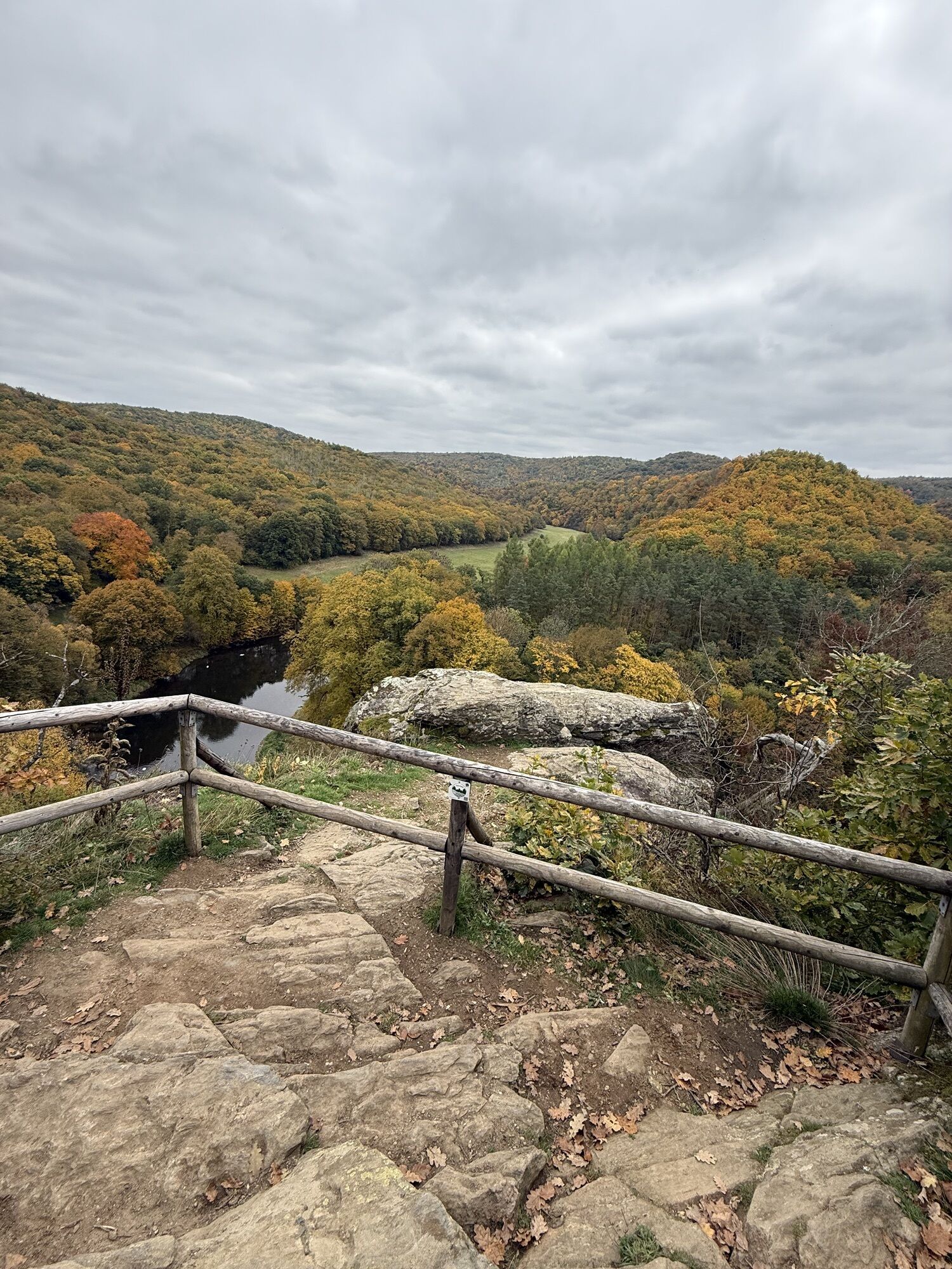
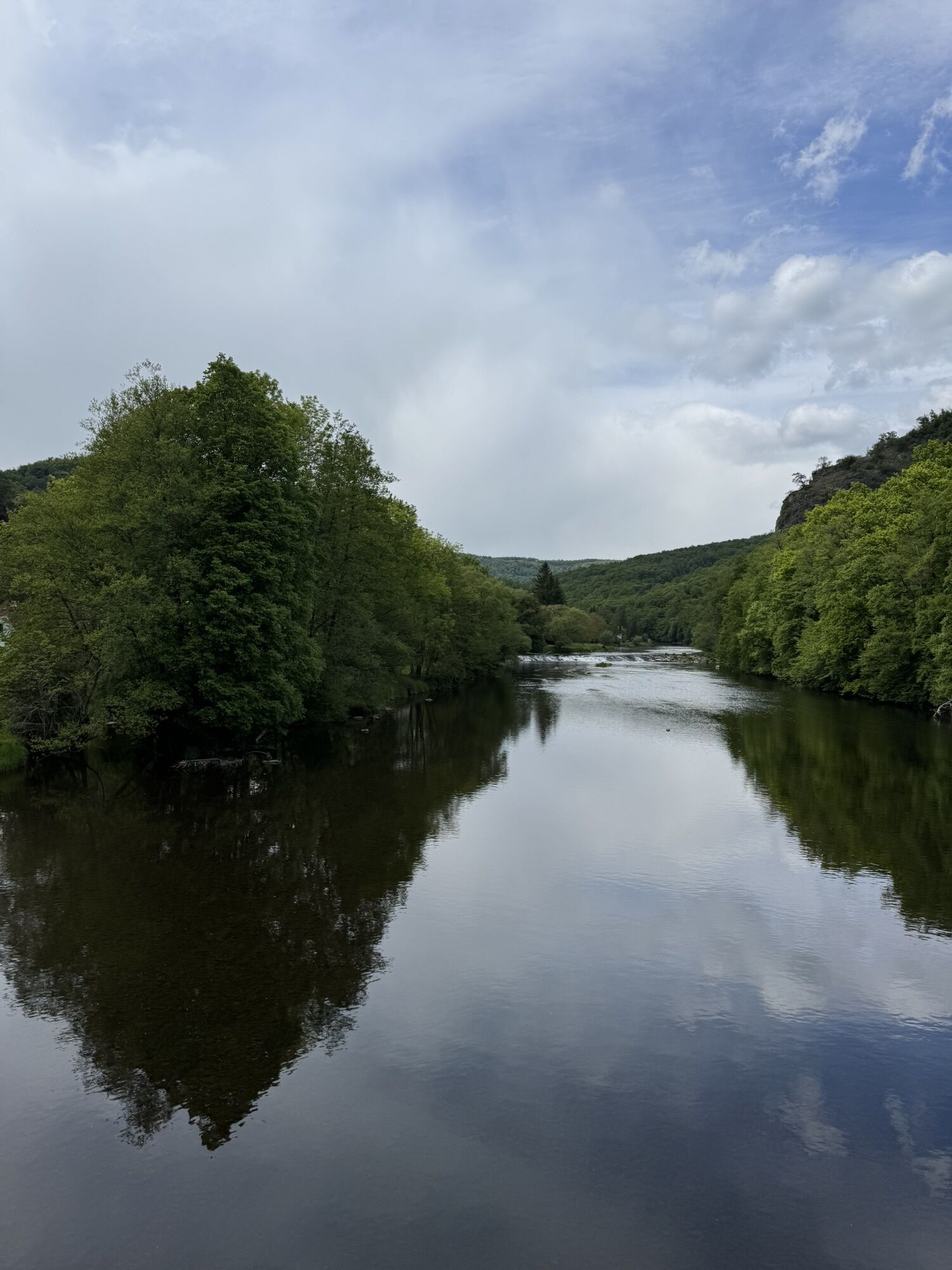
The most beautiful trail in the national park leads for long stretches along the Thaya to the Umlaufberg. From the vantage point at the crossing, visitors can enjoy an impressive view of the meanders of...
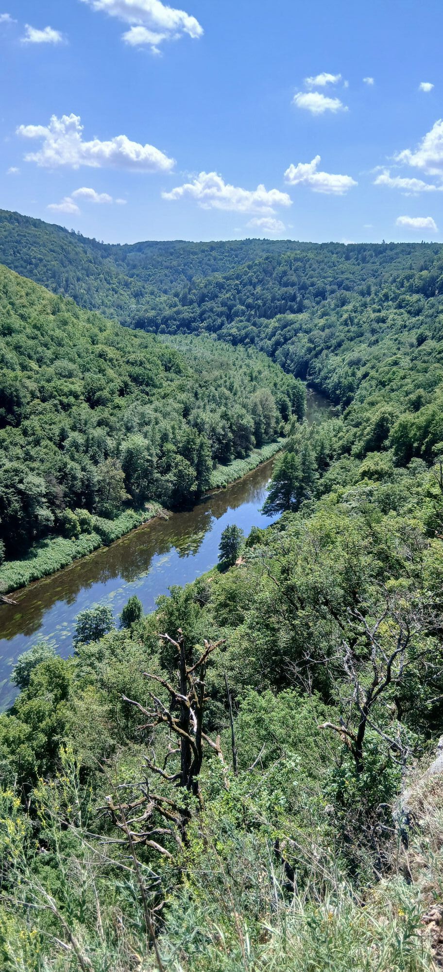
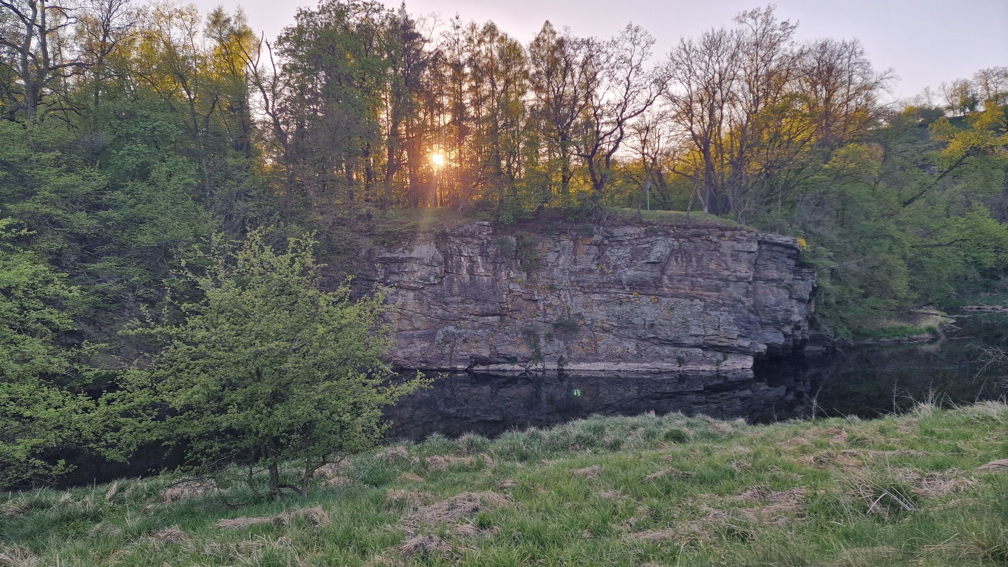
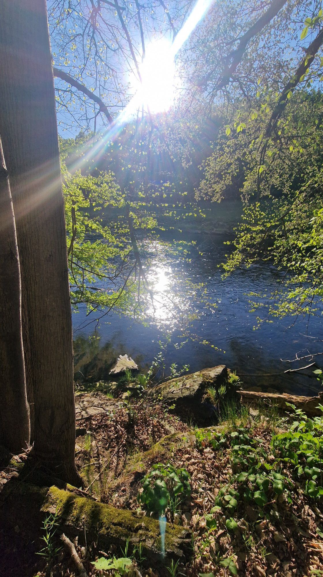
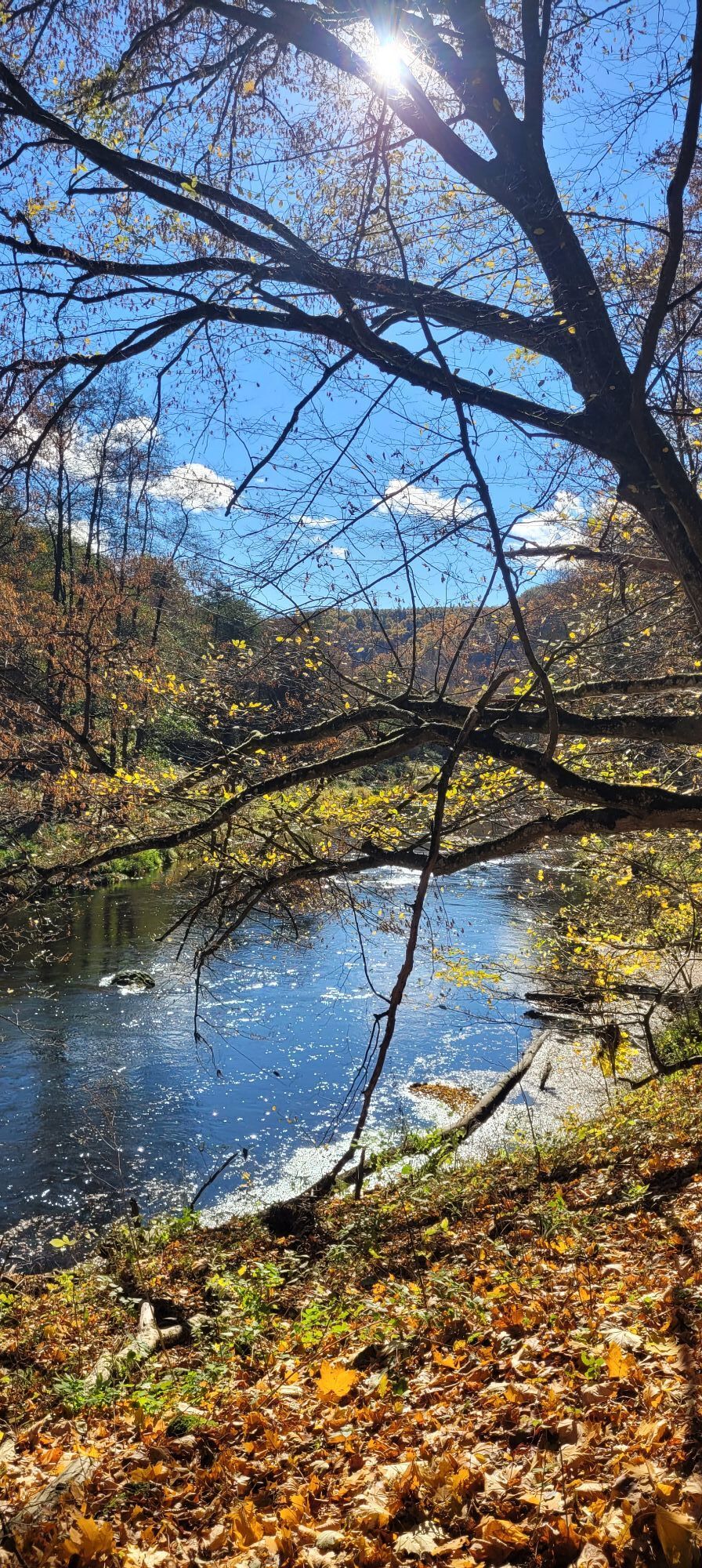
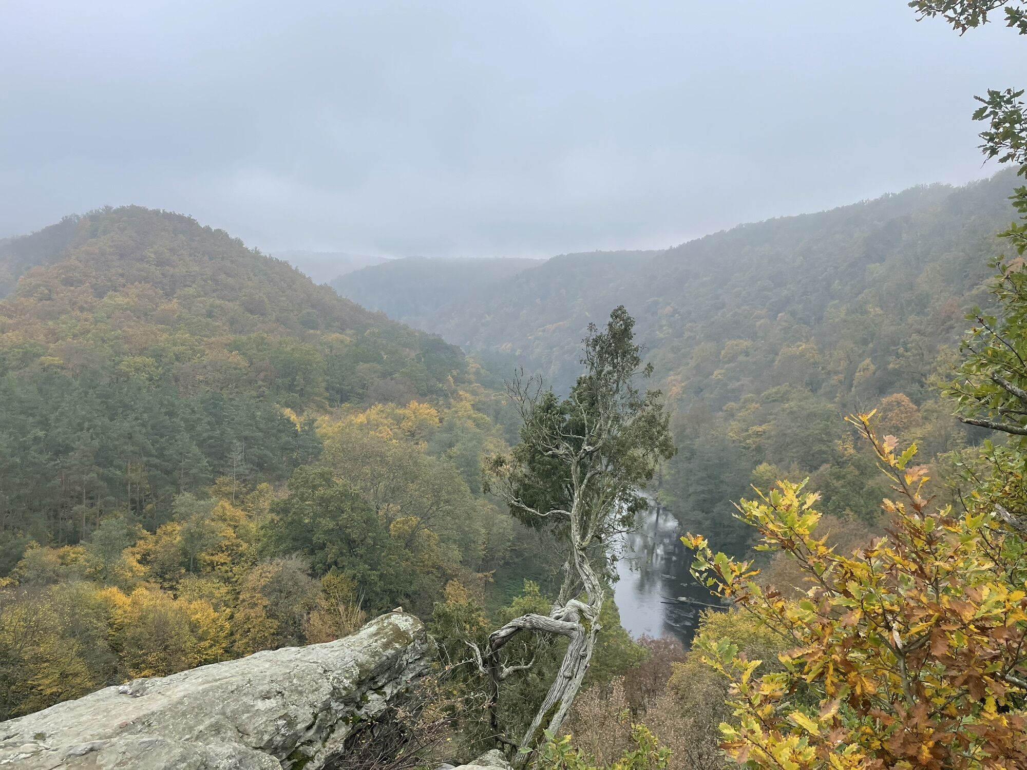
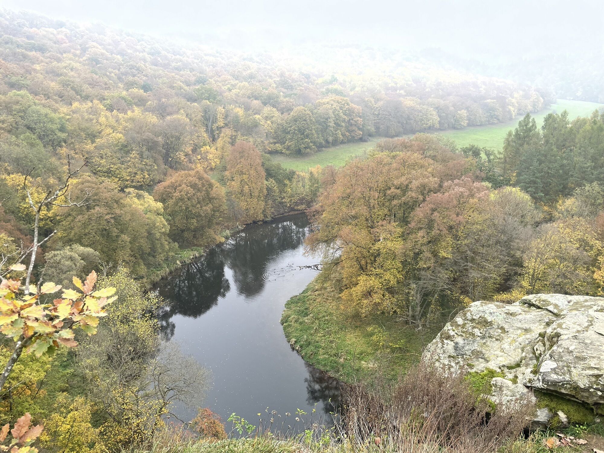
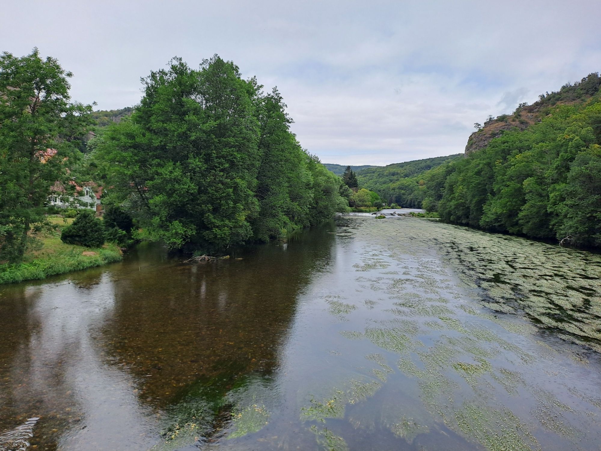
The most beautiful trail in the national park leads for long stretches along the Thaya to the Umlaufberg. From the vantage point at the crossing, visitors can enjoy an impressive view of the meanders of the Thaya.
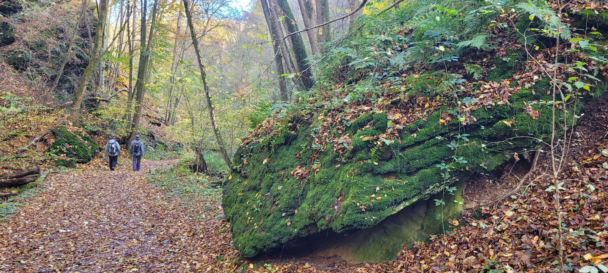
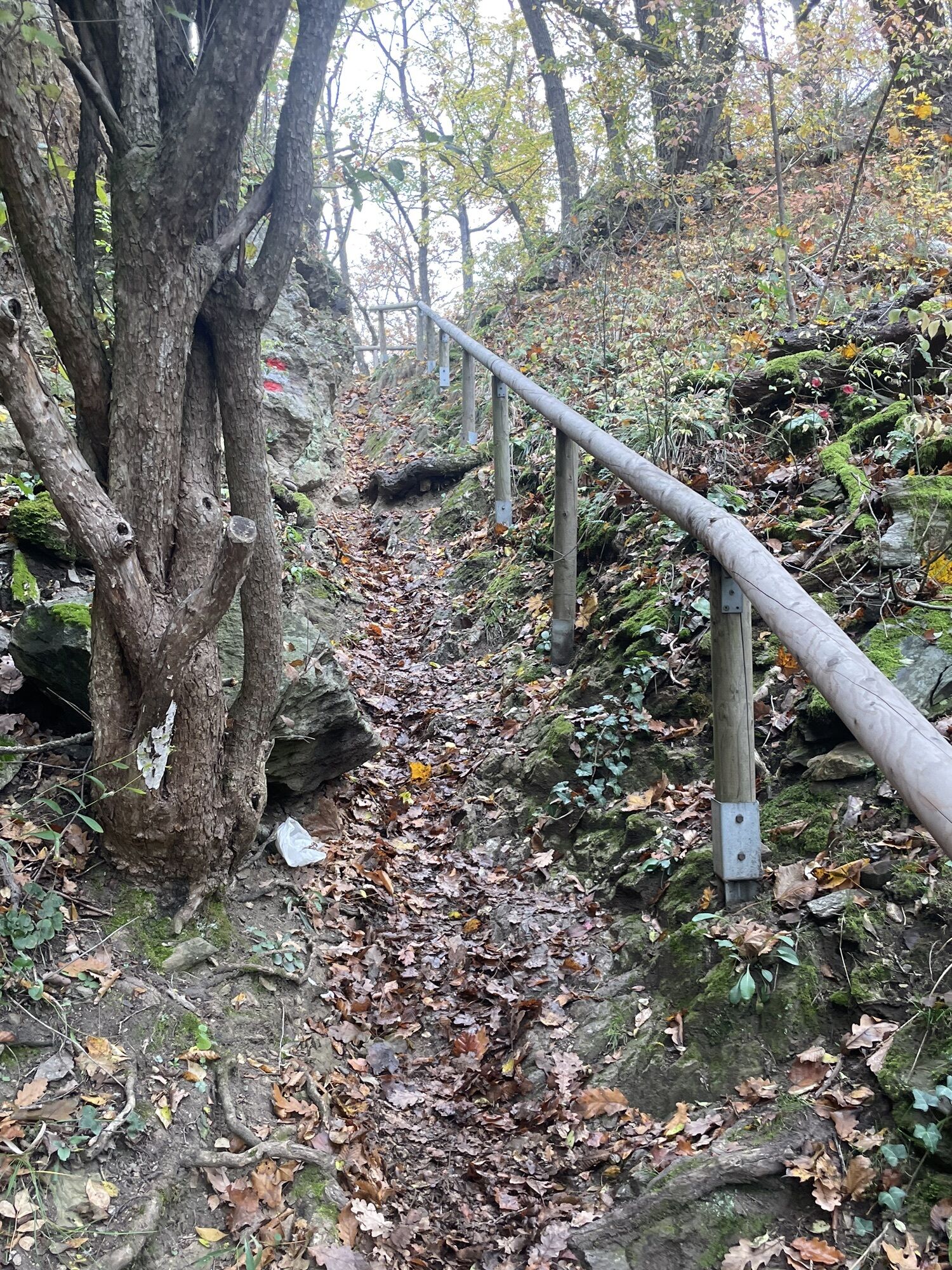
The path, which is also a trail in parts, leads for long stretches along the Thaya to the Umlaufberg, one of the most impressive elements of the national park, and through untouched nature and charming landscapes. However, the route does have some steeper sections. Sturdy footwear, stamina and sure-footedness are required. The hike can be started in Hardegg or Merkersdorf.
The way back is mostly on an asphalted accompanying path to the public road (not included in walking time, duration: 1 hour/4 km).

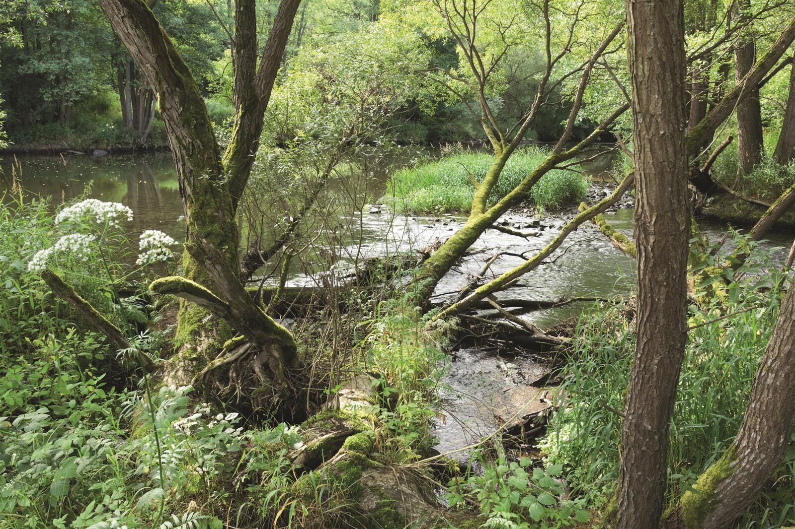


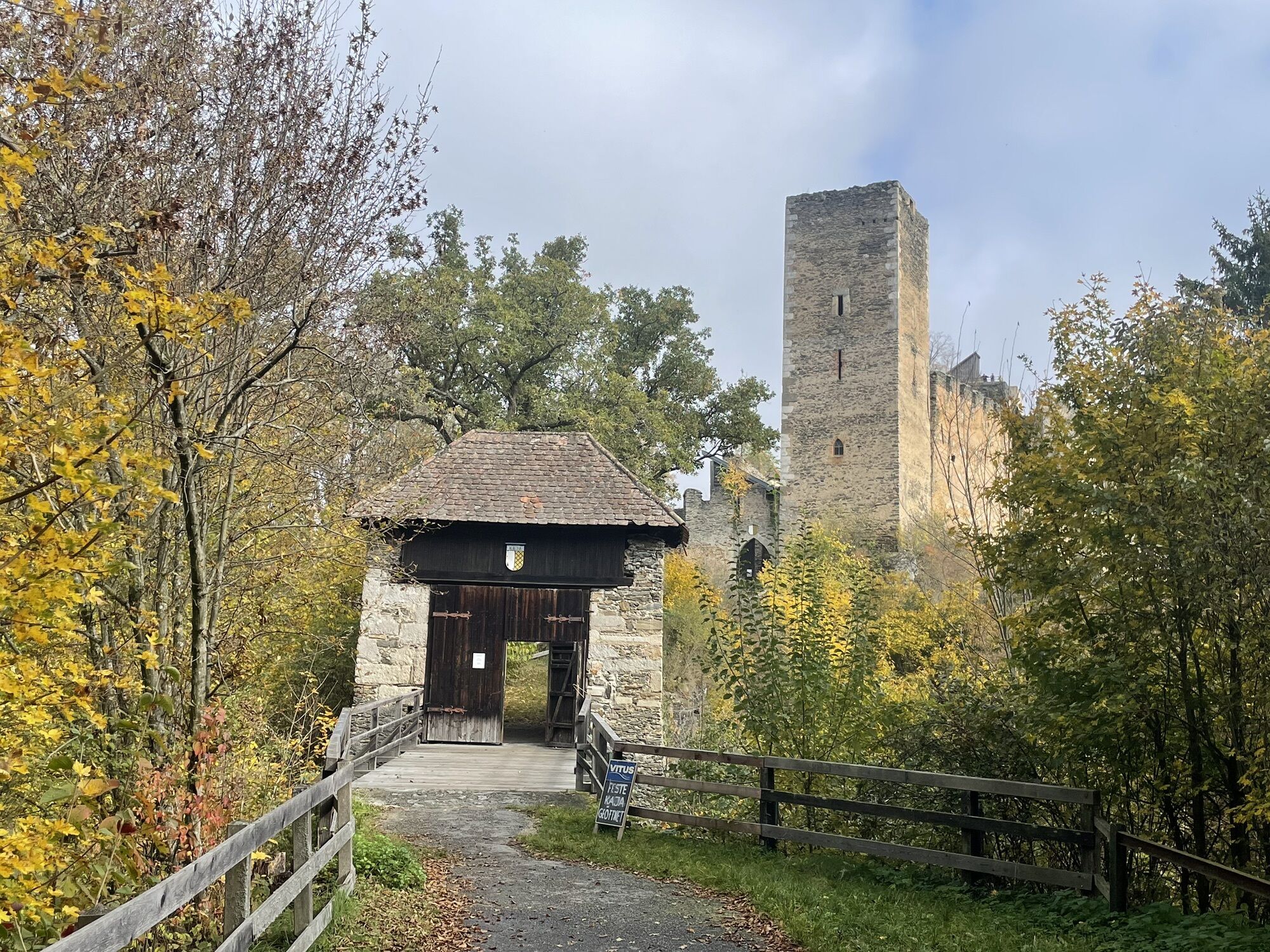
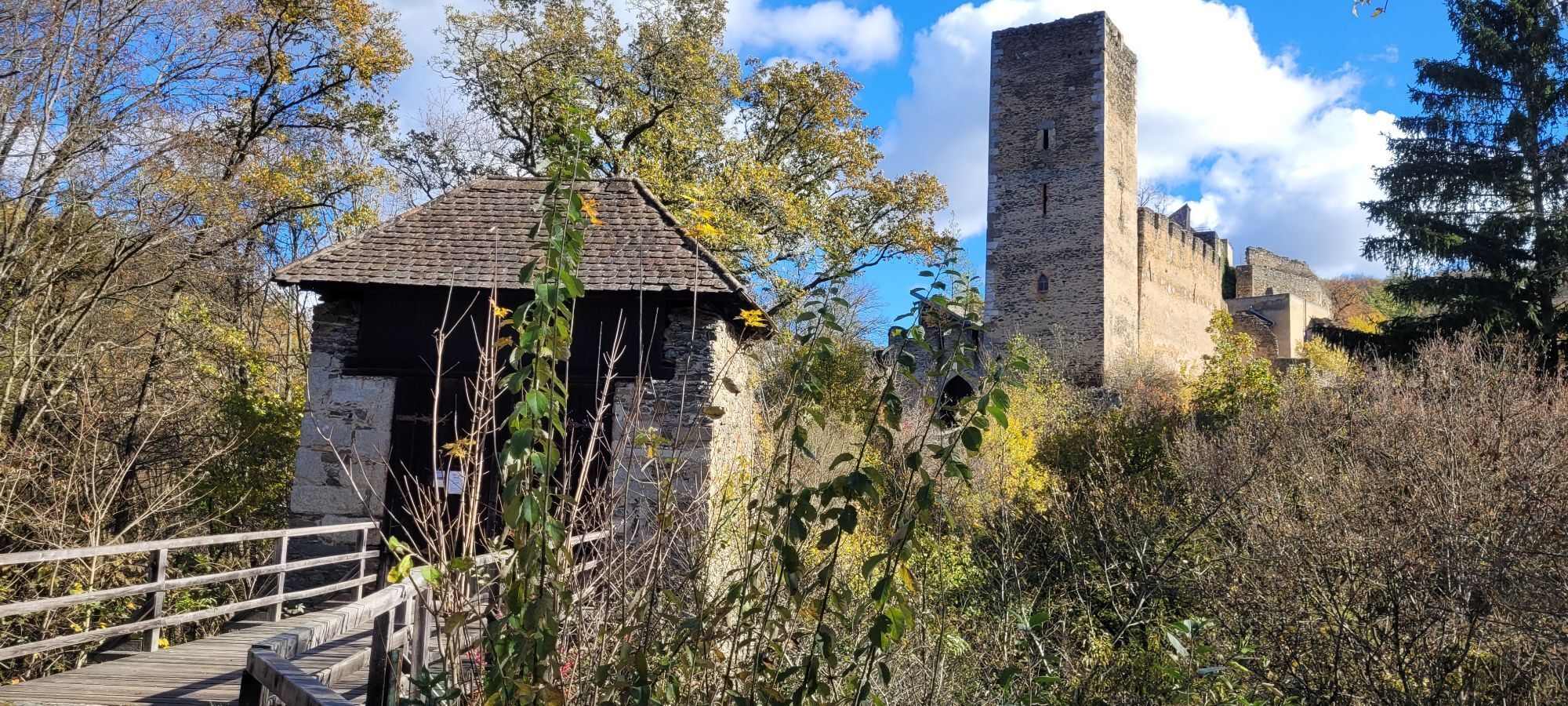
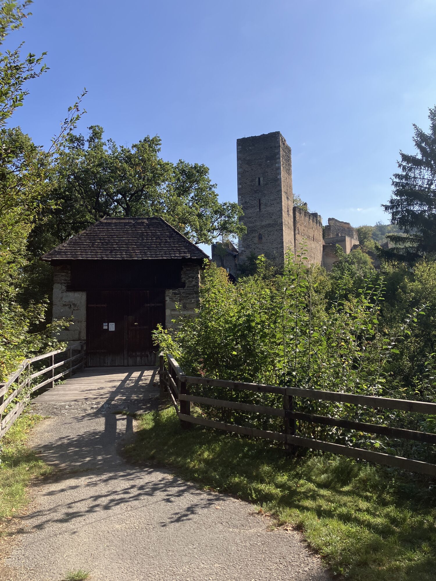
Hardegg Thaya Bridge – Follow the Thaya downstream to the crossing – Cross the crossing or take the detour around the mountain (the route around the mountain takes about 1 hour longer) – Kajabachtal – Kaja Ruins – Return route from Merkersdorf via the 4-km trail running parallel to the main road
Sturdy footwear
Occasional steep, rocky sections of the trail and paths
From Vienna: Take the A 22 to Stockerau, then the B 303 via Hollabrunn, Guntersdorf, and Retz to Merkersdorf and Hardegg (approx. 95 km). From the west: Take the A 1 from Linz to St. Pölten, then the St. Pölten–Krems expressway via Eggenburg and Pulkau to Hardegg. From the north: In Znaim, after crossing the Thaya River, turn right toward Retz. In Mitterretzbach, turn right again via Niederfladnitz to Hardegg; or from Frain (Vranov) via VratÄnín/Oberthürnau, Drosendorf, and Langau to Hardegg, or from (Frain) Vranov via Šafov and Langau to Hardegg.
Take the train from Vienna to Retz (or Znaim to Retz), then continue by bus from Retz to Hardegg / National Park Visitor Center
Service days and further information: Train information: 05/1717
Parking is available at the National Park Visitor Center
If you stay quiet at the Übersteig, you might be lucky enough to observe the emerald lizards’ mating rituals in early May.
The viewpoint at the Übersteig offers an impressive view of the Thaya Loop.
As a memento of your hike around the Thayatal National Park, you can pick up a hiking badge at the Thayatal National Park ticket office and at the Kaja Ruins.
Hiking badges are round plaques, designed and inscribed using pyrography, which serve as both a souvenir and a recognition of outstanding achievements. Diligent hiking badge collectors are rewarded with a free premium hiking badge. For more information, visit http://www.wandermarken.at/


Priljubljeni izleti v okolici
-
4.5
Rundwanderung Nationalpark THAYATAL
svetlobaPohodništvo 14.0 km -
4.3
Nationalpark Thayatal Radweg Süd und Nord
srednjaMountainbike 63.2 km -
5.0
Ruine Kaya - Thaya Aussichtspunkt
svetlobaPohodništvo 6.82 km -
4.5
Kellergassenrundwanderweg
srednjaPohodništvo 8.69 km -
4.5
Ruine Kaya
srednjaPohodništvo 12.5 km -
4.3
Eisleiten
srednjaPohodništvo 12.9 km -
5.0
Hardegger Warte
srednjaPohodništvo 5.60 km -
4.7
Rundwanderweg Hardegg – Vranov
težkoPohodništvo 22.5 km -
2.6
Chardonnay-Radtour
Kolesarjenje 33.5 km -
4.7
Über NP Thaya zu historischen Städten / Etappe 2 Retz - Znaim
svetlobaPohodništvo 17.2 km
Pohodništvo in sledenje


Ne zamudite ponudb in navdiha za naslednje počitnice
Vaš e-poštni naslov je bil dodan na poštni seznam.





