


Heidenreichstein circular route
Burg Heidenreichstein (bus stop) – Town square – Jägergasse – Hofwehrteich – Otto-Franke-Gasse – Edelwehrteich (Edelmühle) – Pochergasse – Windhof – Motten – Steinbruckhäuser – Heidenreichstein Nature...
<p>Burg Heidenreichstein (bus stop) – Town square – Jägergasse – Hofwehrteich – Otto-Franke-Gasse – Edelwehrteich (Edelmühle) – Pochergasse – Windhof – Motten – Steinbruckhäuser – Heidenreichstein Nature Park – Winkelauerteich (observation tower) – Gemeindeteich – Long-distance trail 630 – Seyfrieds – Meinhartswald – Kleinpertholz – Pertholzer Straße – Schremser Straße – Burg Heidenreichstein</p>

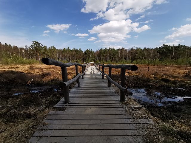
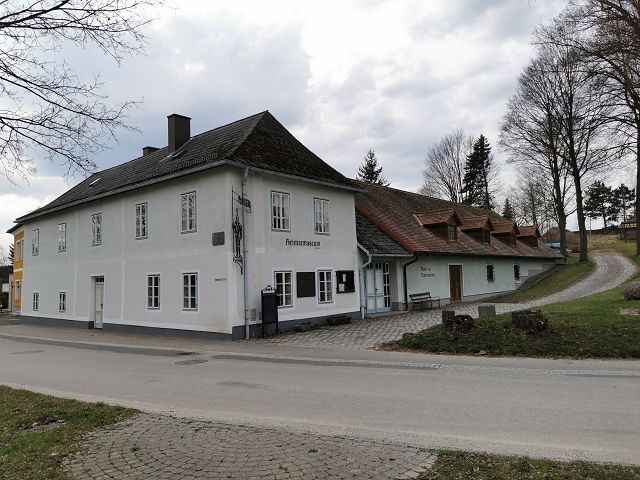
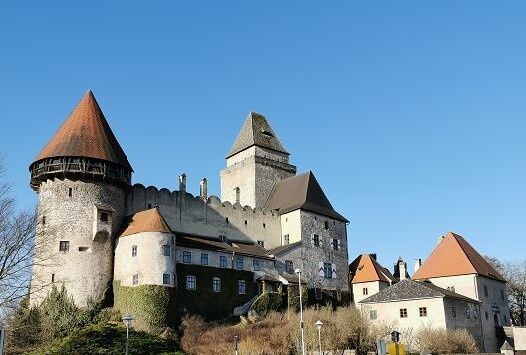
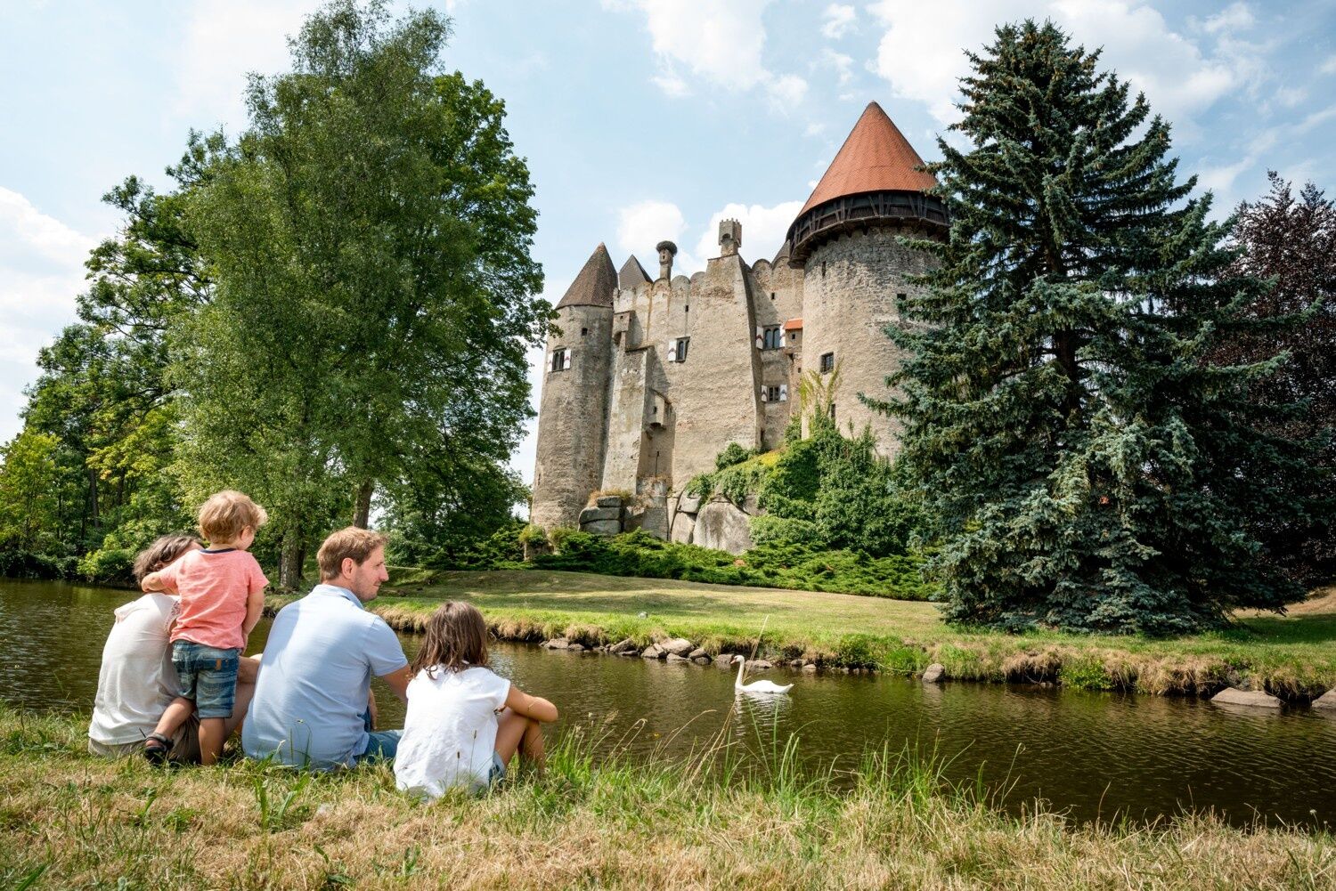
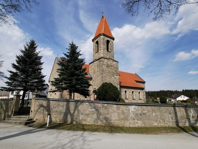
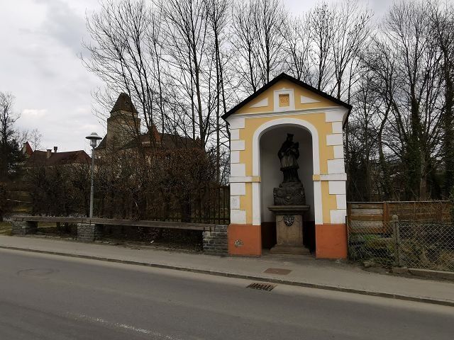
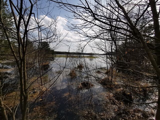
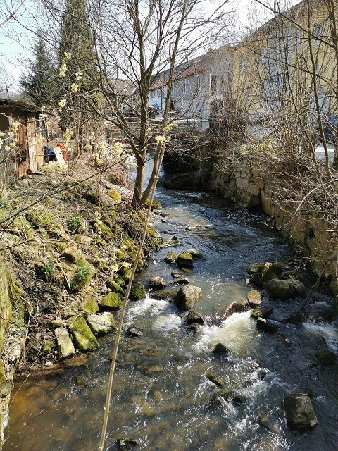
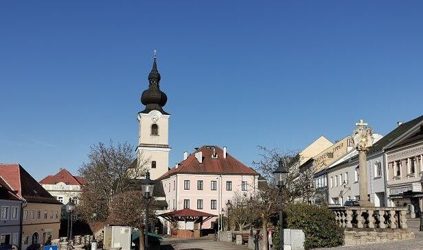
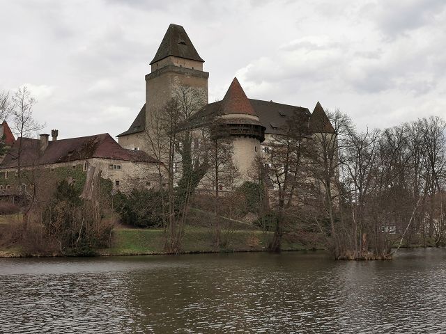
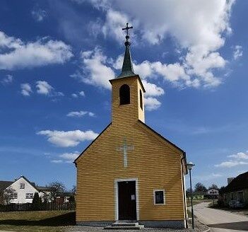
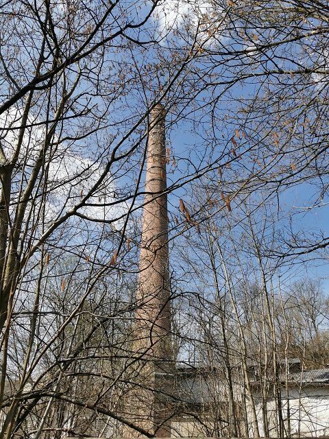
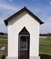
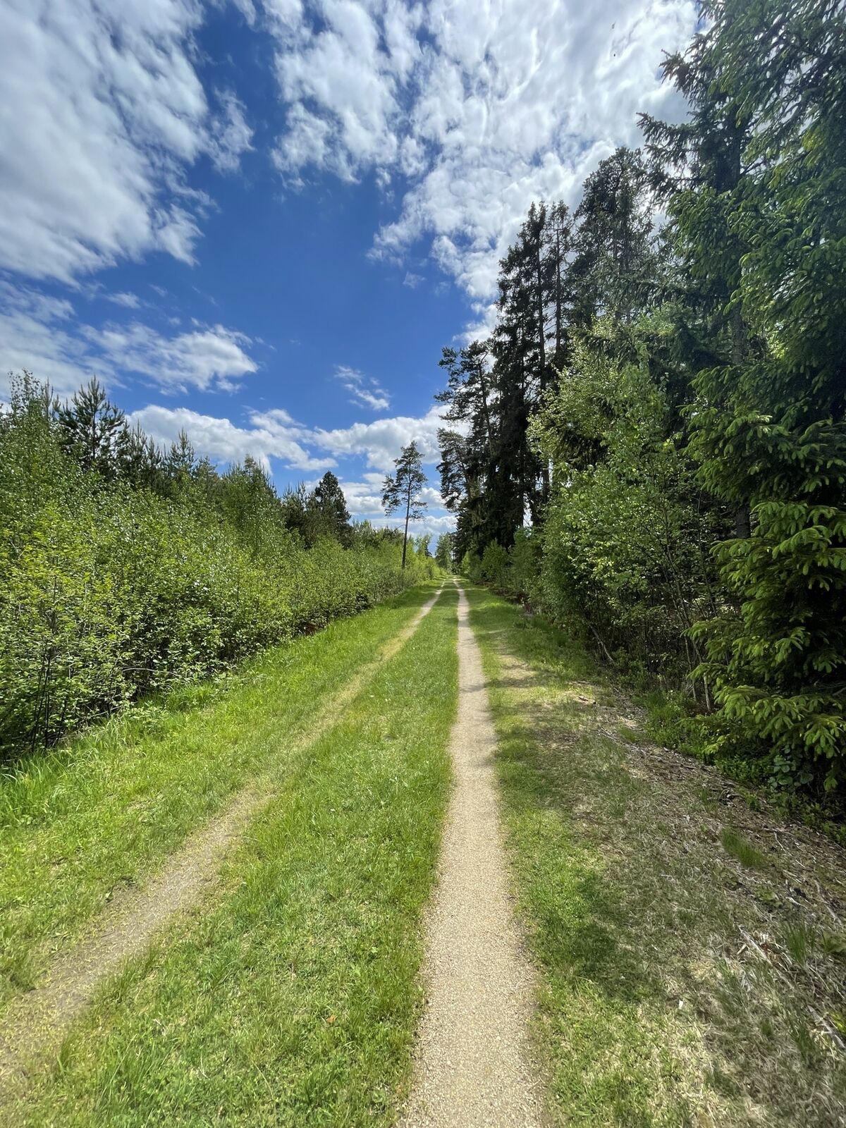
<p>From the bus station opposite the impressive Wasserburg, the route goes over the town square into Jägergasse. At the intersection with Teichgasse, a footpath continues that leads into Haydngasse. Then it continues along a narrow path along the Hofwehrteich to Otto Franke Gasse. After the bridge over the Romaubach, a trail leads to Pochergasse. On the left, you can see the Drachenstein. On the right side is the Edelmühlteich. The path continues to the right uphill to a gravel path that leads out of the forest towards Motten. Passing the village center and the chapel, it continues uphill to the right. At the intersection with the B5 near Steinbruckhäuser, the path continues to the right through the village, past the Steinbruckteich and left into a forest road to the moor nature trail. It then goes on through the Heidenreichstein Moor Nature Park. Here a detour to the Gemeindeteich or to the nature park hut with a children's playground is possible. However, the circular route continues to the left. After an intersection with a forest road, a path branches off to the left. This leads to the village of Seyfrieds.</p><p>Before the Löschteich, it goes uphill again and after the village sign back to the right along the goods road to a forest road. This leads through the forest to the outskirts of Heidenreichstein. In the distance, one can see the industrial area. The path leads back over Kleinpertholz, past the Zuversicht day care center, the local history museum and House of the Moor, the Franz Zeh Museum and the main square to the fishpond pools. Then it continues towards the center. Next to the Marterl, there is a wonderful view of the castle and the castle pond. At the roundabout turn right, and then it is not far to the starting point of the hike.</p>
<p>Route characteristic: 50% asphalt, 10% gravel path, 40% forest and meadow path</p>
Heidenreichstein Tourist Information
3860 Heidenreichstein, Stadtplatz 1
(T) +43 2862 52619
(E) info@waldviertelnord.at
(I) www.waldviertelnord.at
Waldviertel Tourism
3910 Zwettl, Sparkassenplatz 1/2/2
(T) +43 2822 54109
(E) info@waldviertel.at
(I) www.waldviertel.at
As a memento of your hike on the Heidenreichstein circular route in the Waldviertel, you can pick up a hiking token from Burg Heidenreichstein at the ticket office in the Wasserburg Heidenreichstein.
Hiking tokens are round plaques decorated and inscribed by wood burning, serving as souvenirs and at the same time as a recognition of outstanding achievements. Diligent collectors of hiking tokens are rewarded with a free premium hiking token. More information can be found at www.wandermarken.at.

Priljubljeni izleti v okolici
-
4.3
Rund um den Herrensee in Litschau
svetlobaPohodništvo 4.65 km -
4.4
Teiche-Radroute (Strecke 2020) Niederösterreich
srednjaKolesarjenje 48.7 km -
4.9
Mythologieweg Blockheide
svetlobaPohodništvo 4.96 km -
4.0
Blockheiderunde
svetlobaPohodništvo 6 km -
5.0
Thayarunde Slavonice-Waidhofen-Göpfritz
srednjaKolesarjenje 47.5 km -
4.0
Gmünd Blockheide
svetlobaTematska pot 8.18 km -
4.7
Gemeinde Heidenreichstein - Winkelauer Berg - Seyfrieds
svetlobaPohodništvo 7.24 km -
4.5
Gmünd: Blockheide mit Wackelsteinen
svetlobaPohodništvo 8.14 km -
Naturlehrpfad Heidenreichsteiner Moor
svetlobaPohodništvo 4.56 km -
5.0
Waldweg des Naturparks Heidenreichsteiner Moor
svetlobaTek 3.79 km
Pohodništvo in sledenje


Ne zamudite ponudb in navdiha za naslednje počitnice
Vaš e-poštni naslov je bil dodan na poštni seznam.