







From Berndorf over the Guglzipf



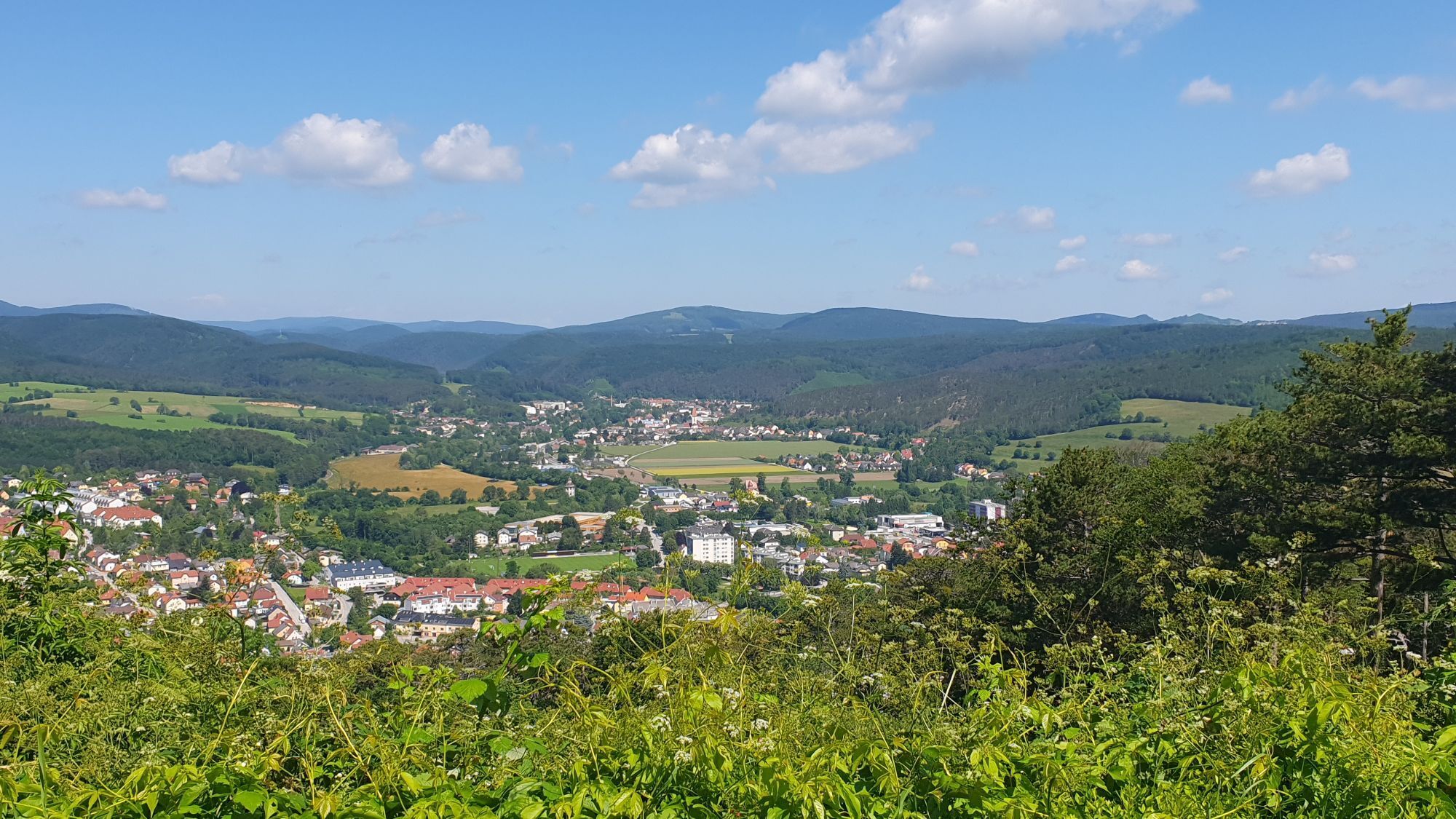
<p>Tip/Fun fact: Berndorf is not only known for its industrial history. The uniquely worldwide Berndorf style classes are also worth a visit and are additionally a NÖ-Card partner.</p>


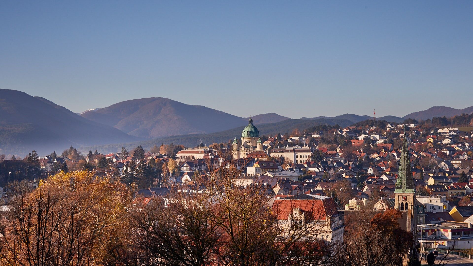
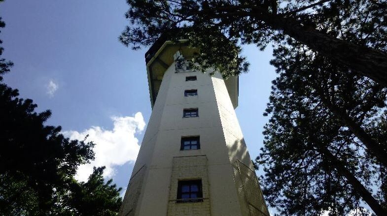
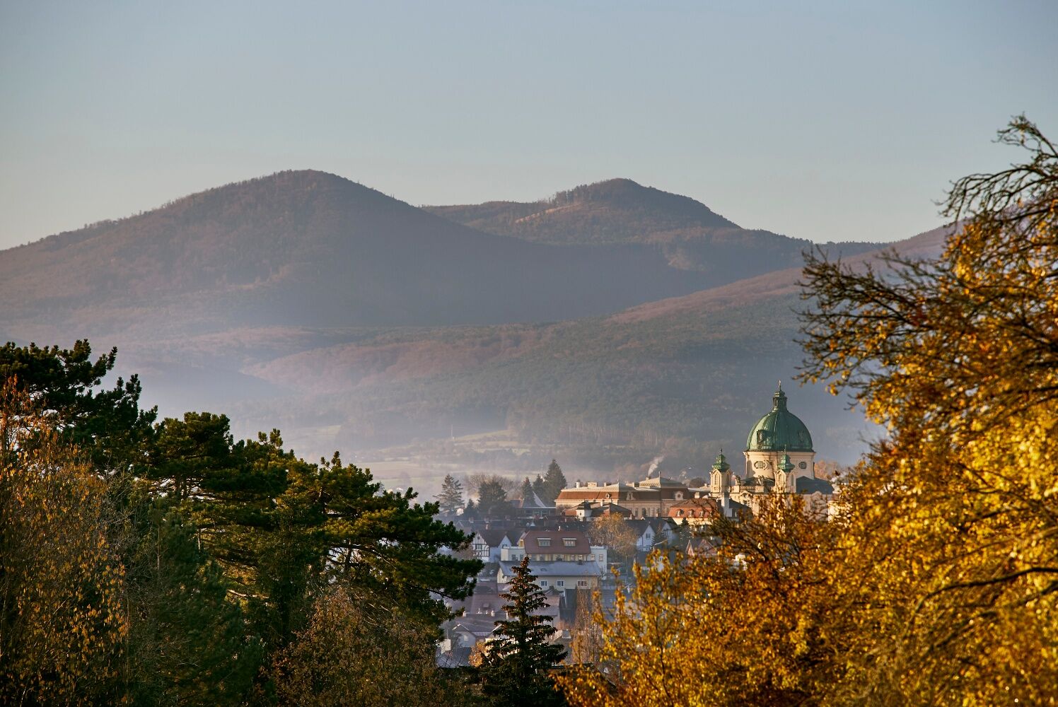

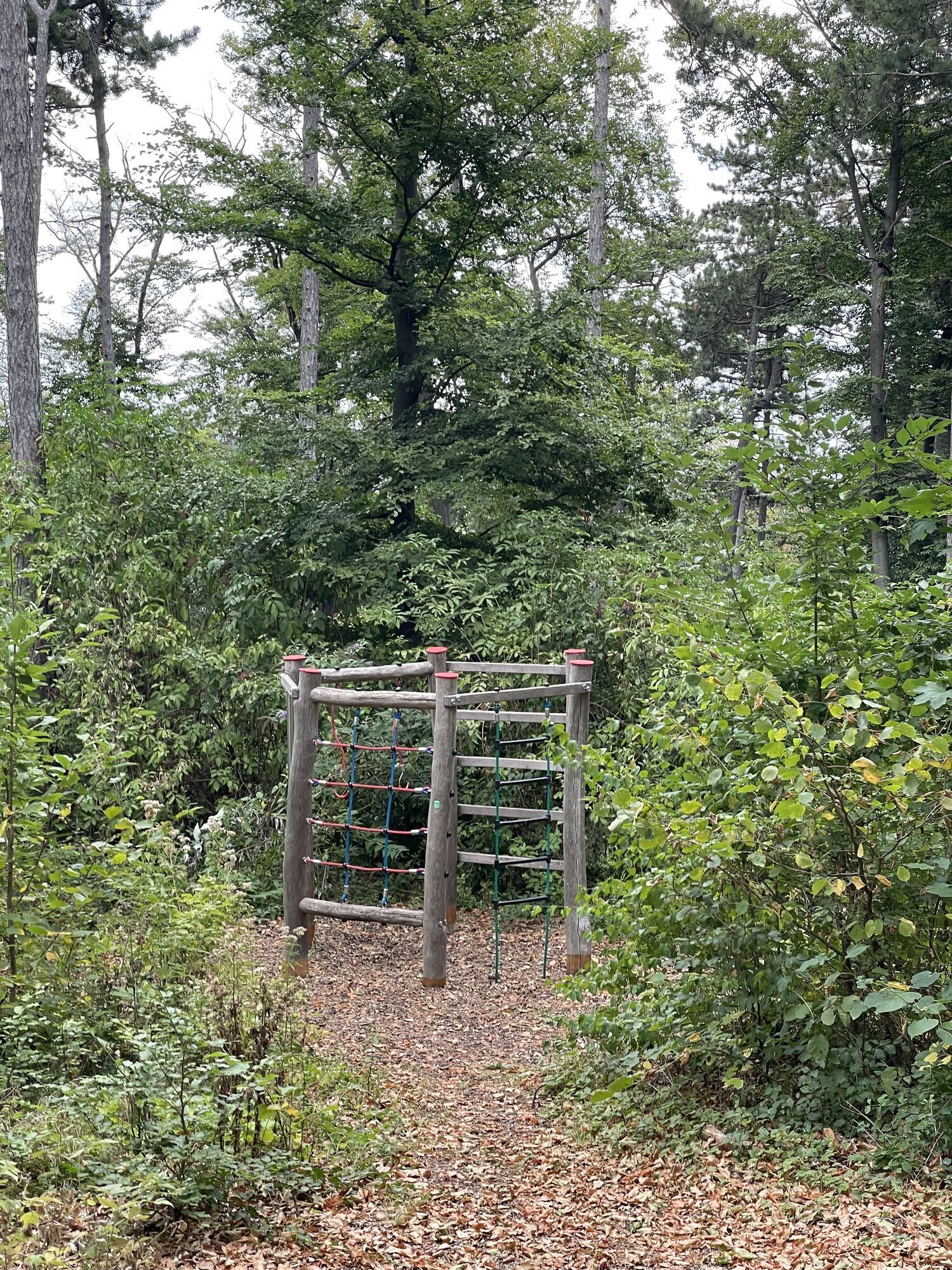
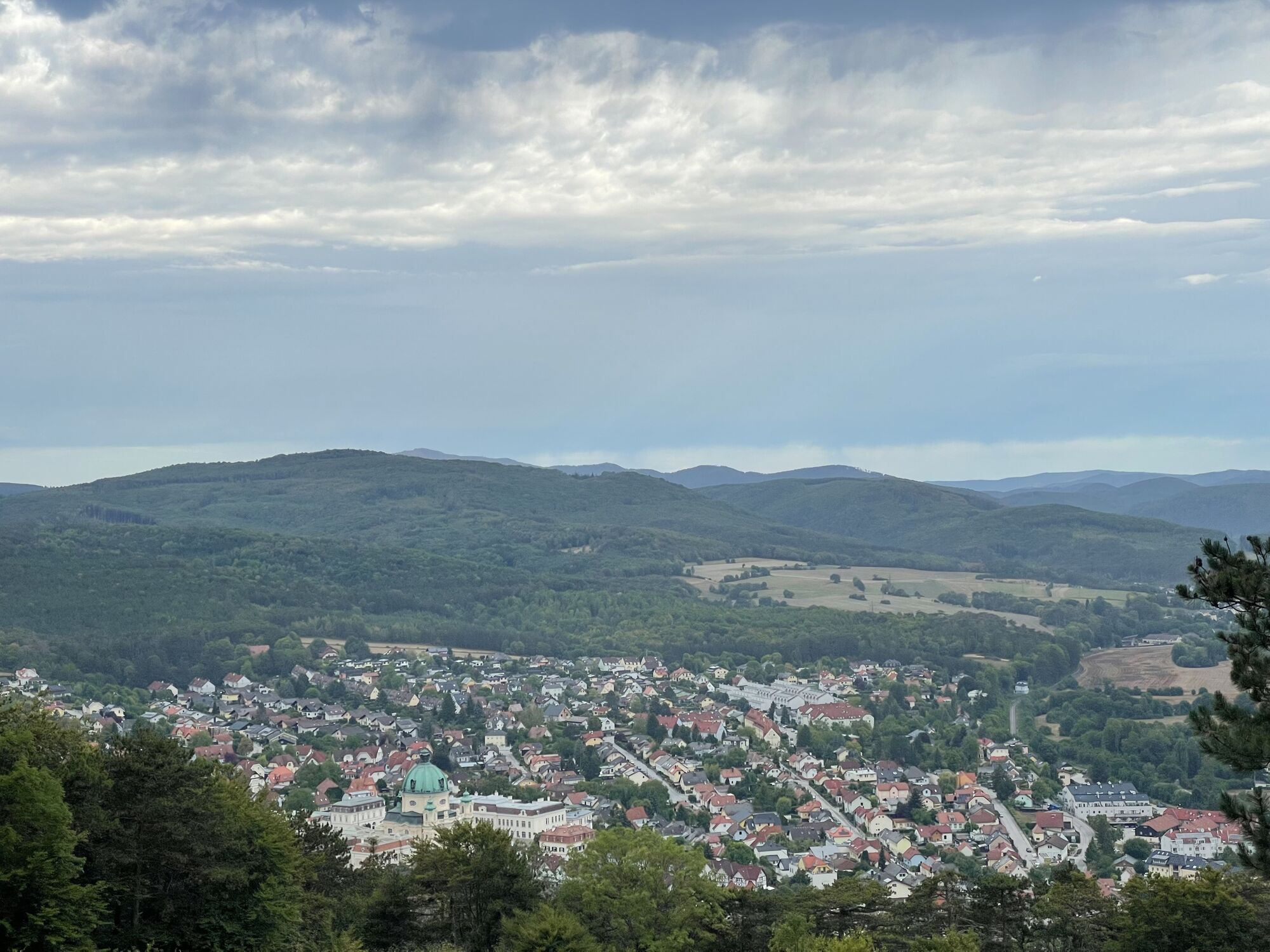
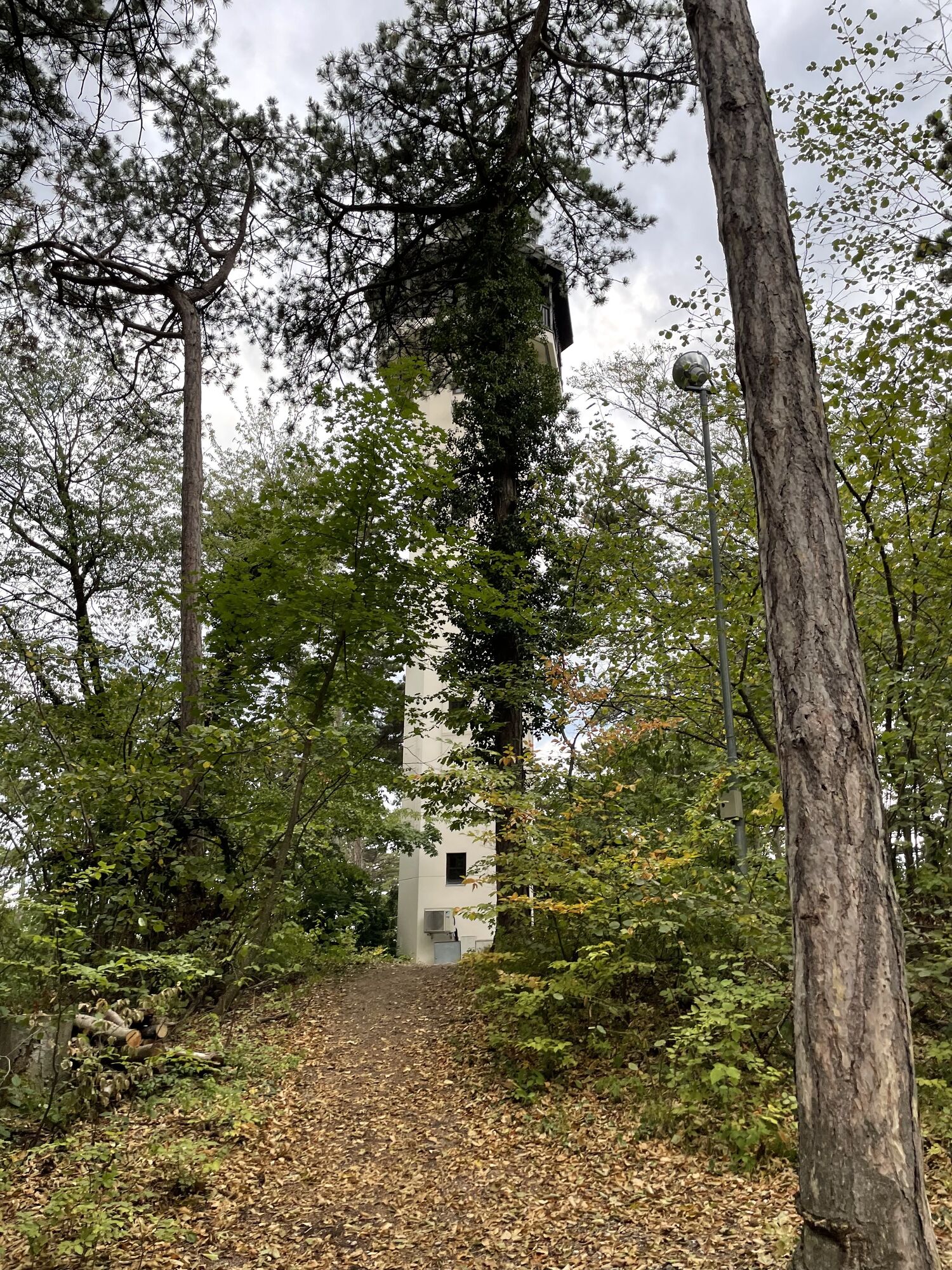
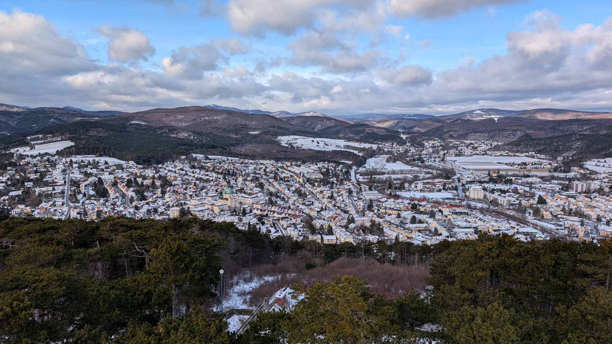
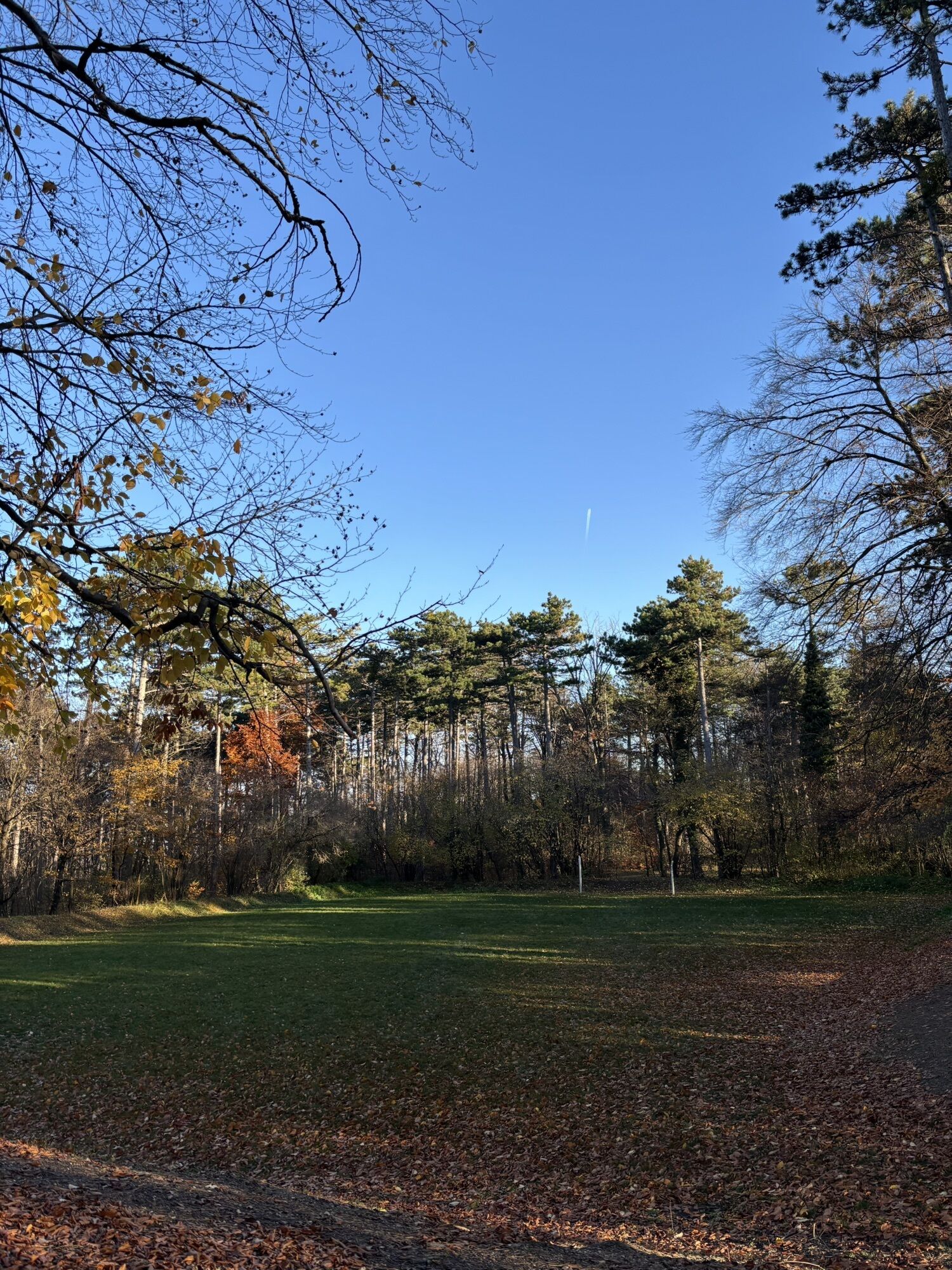
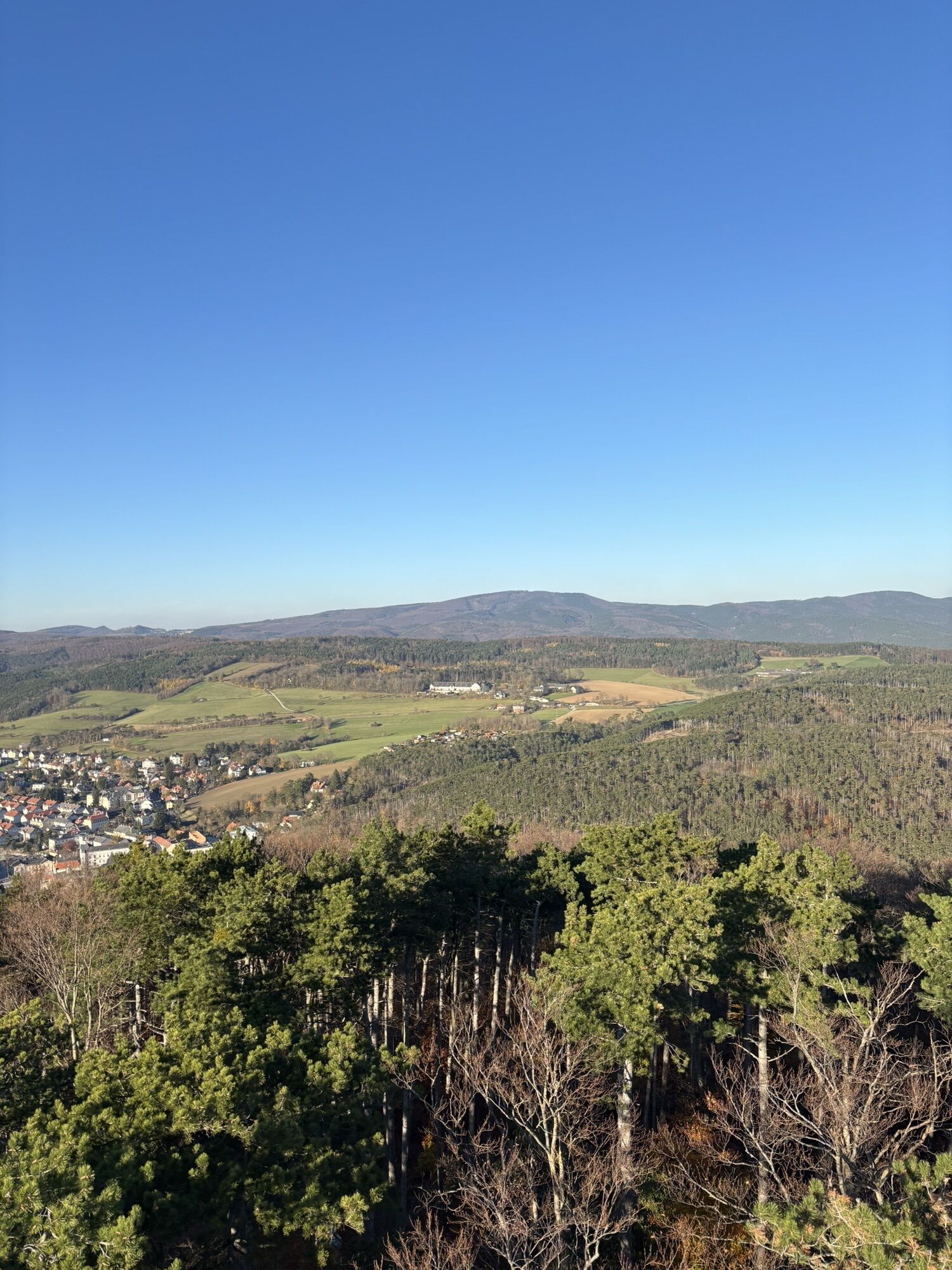
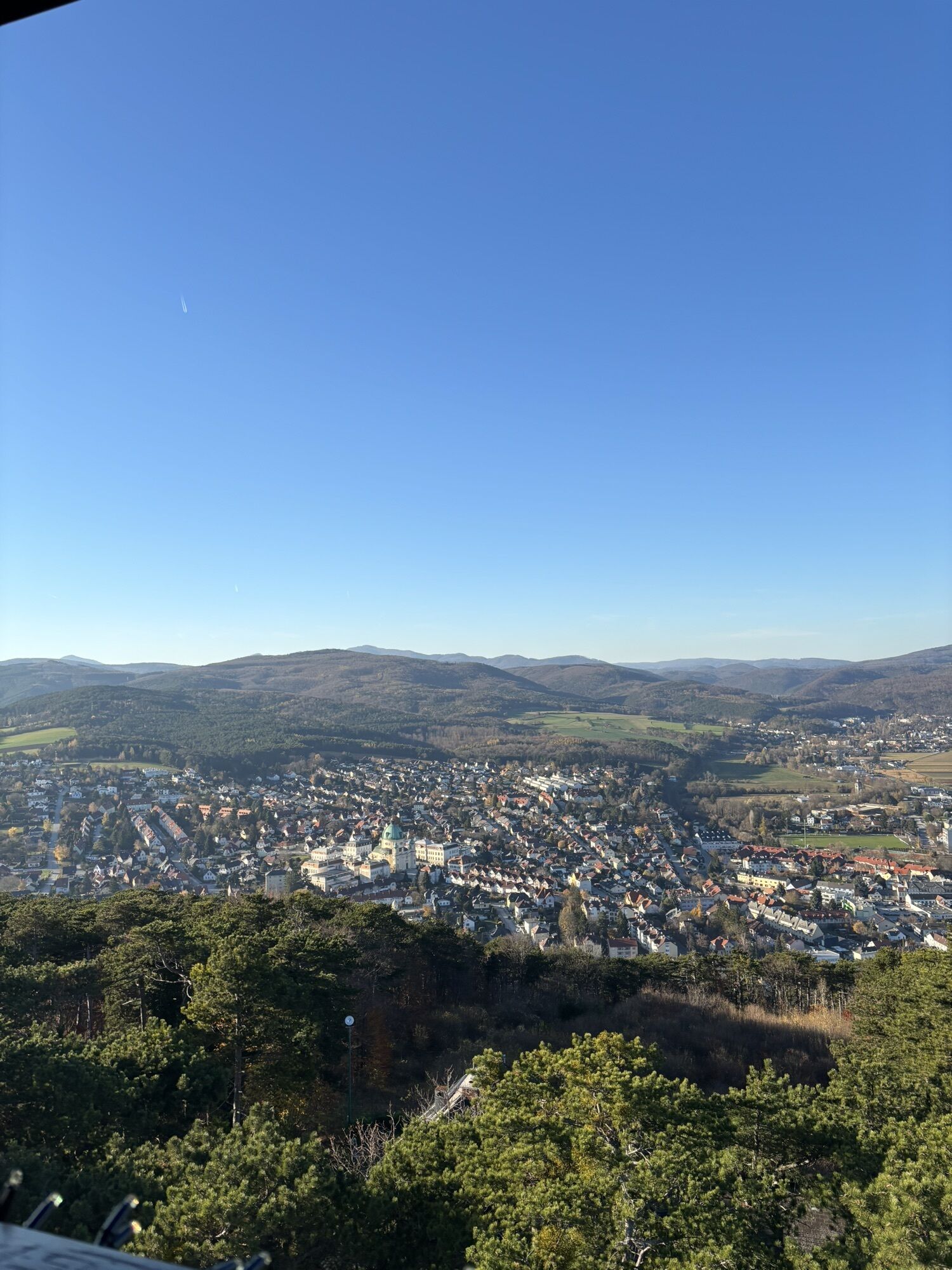
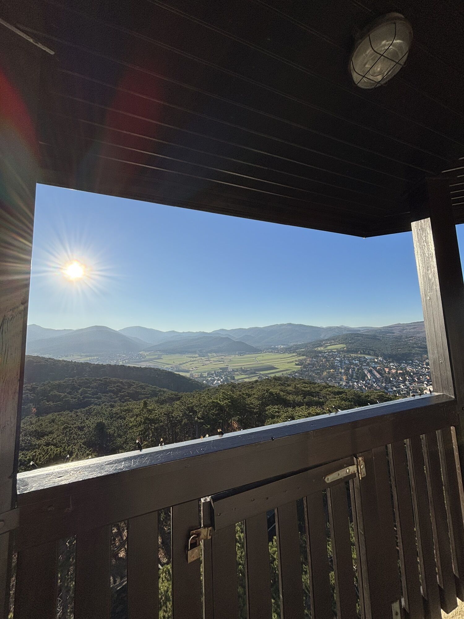
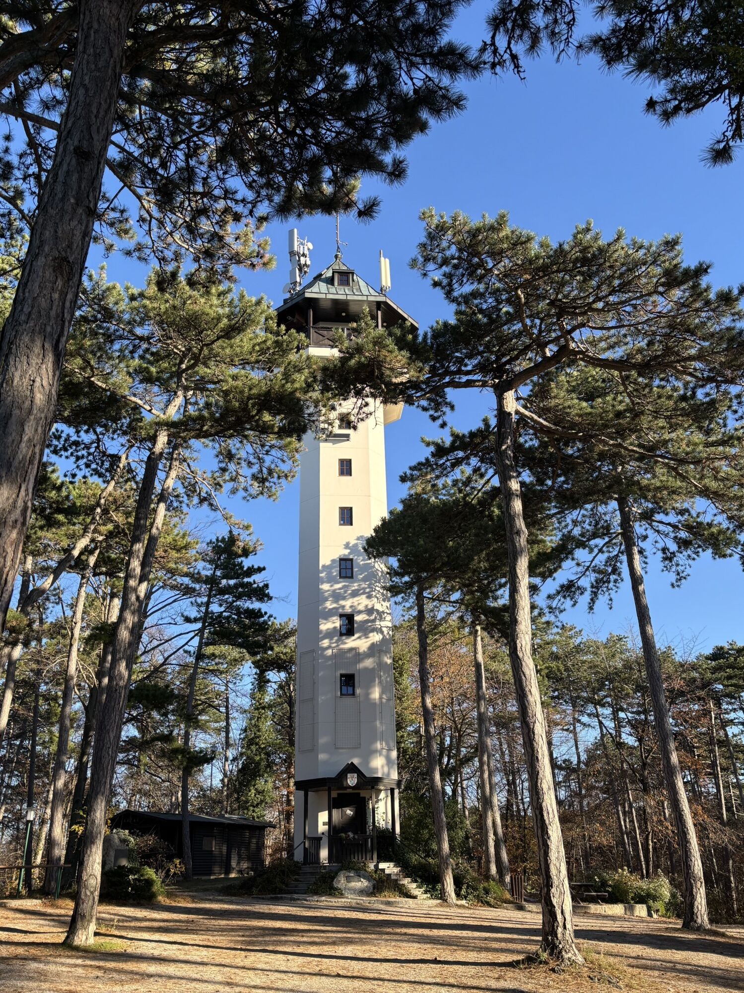
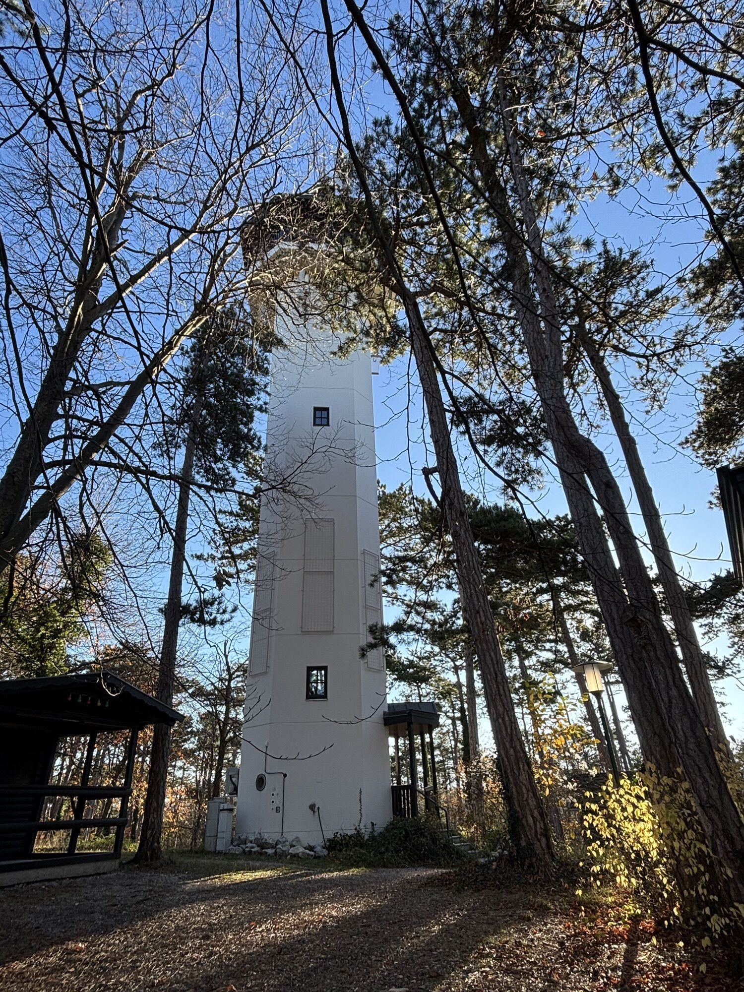
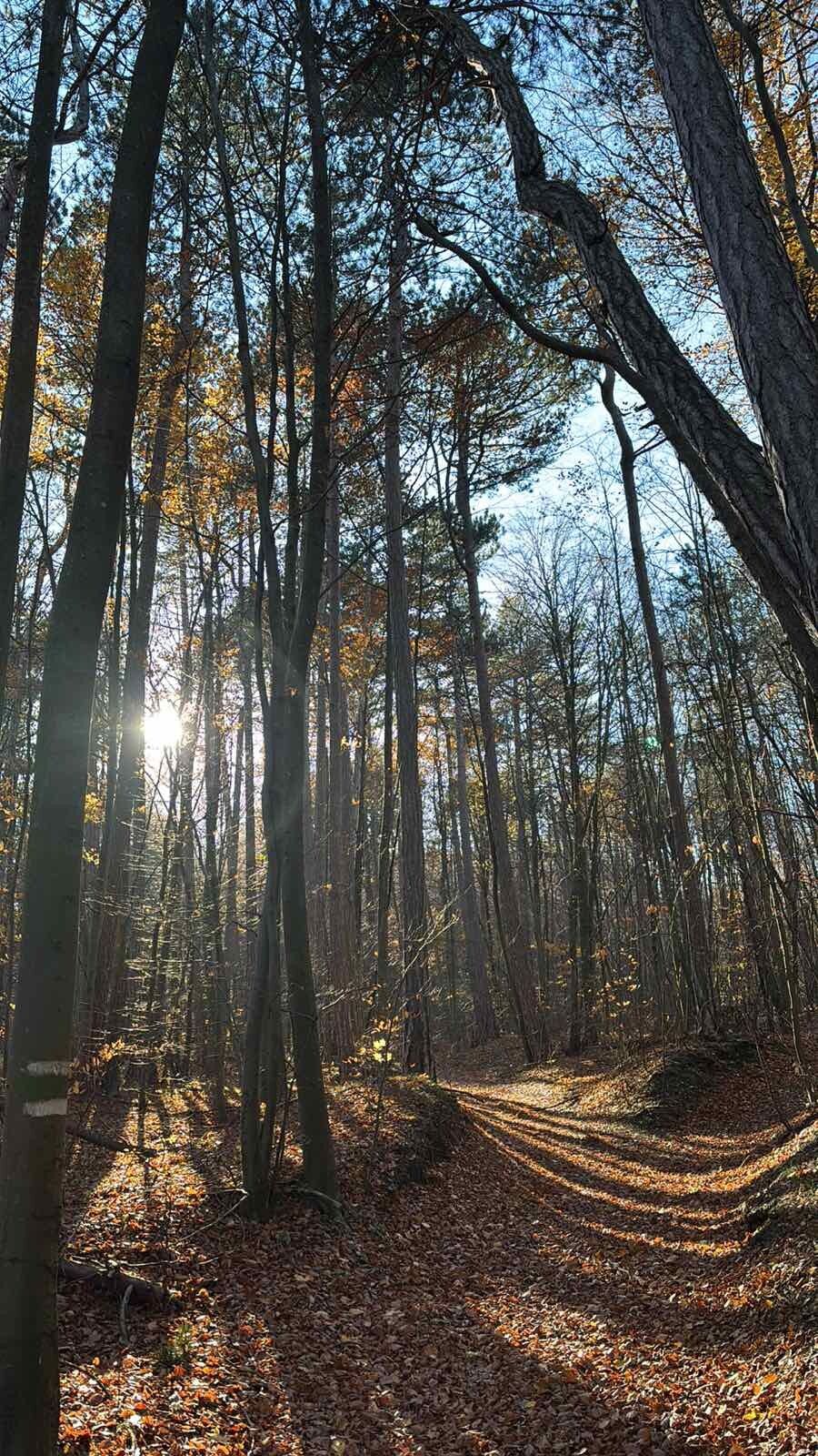
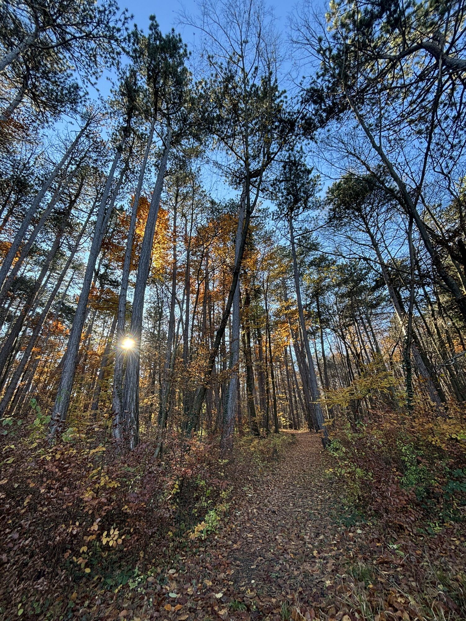
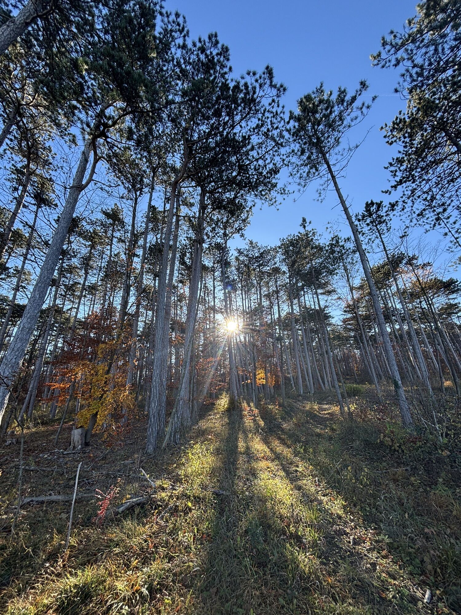
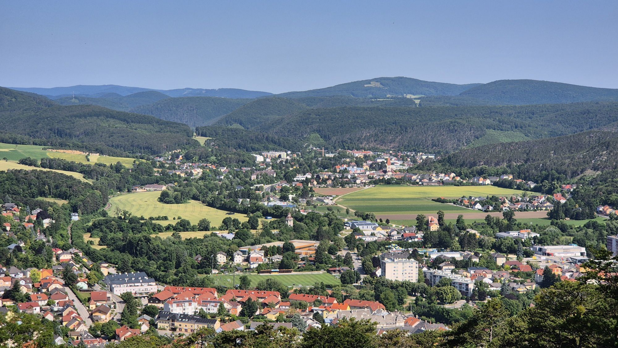
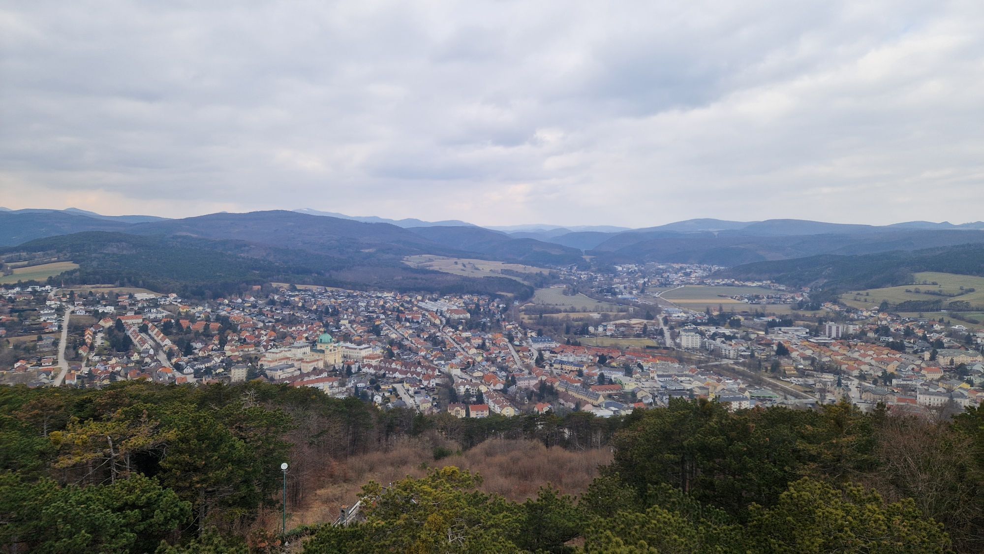
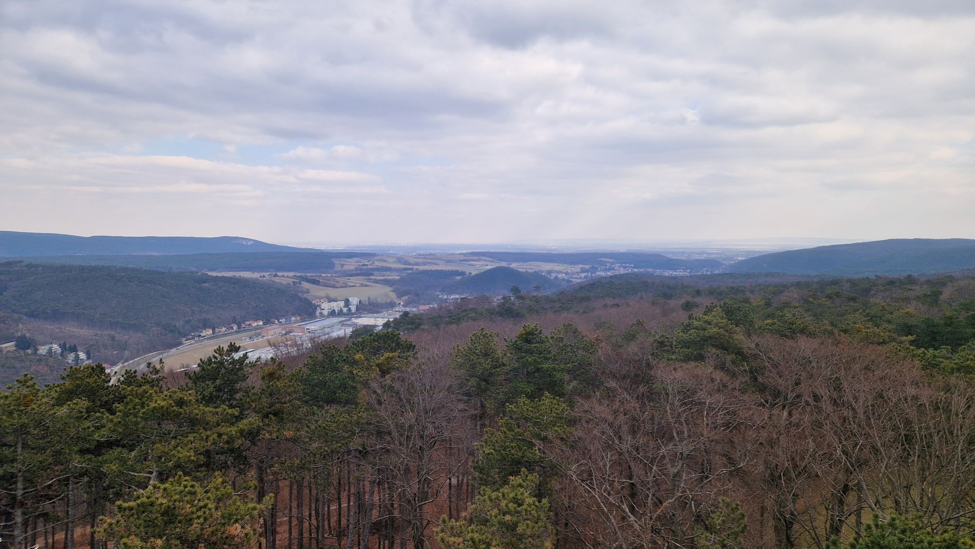
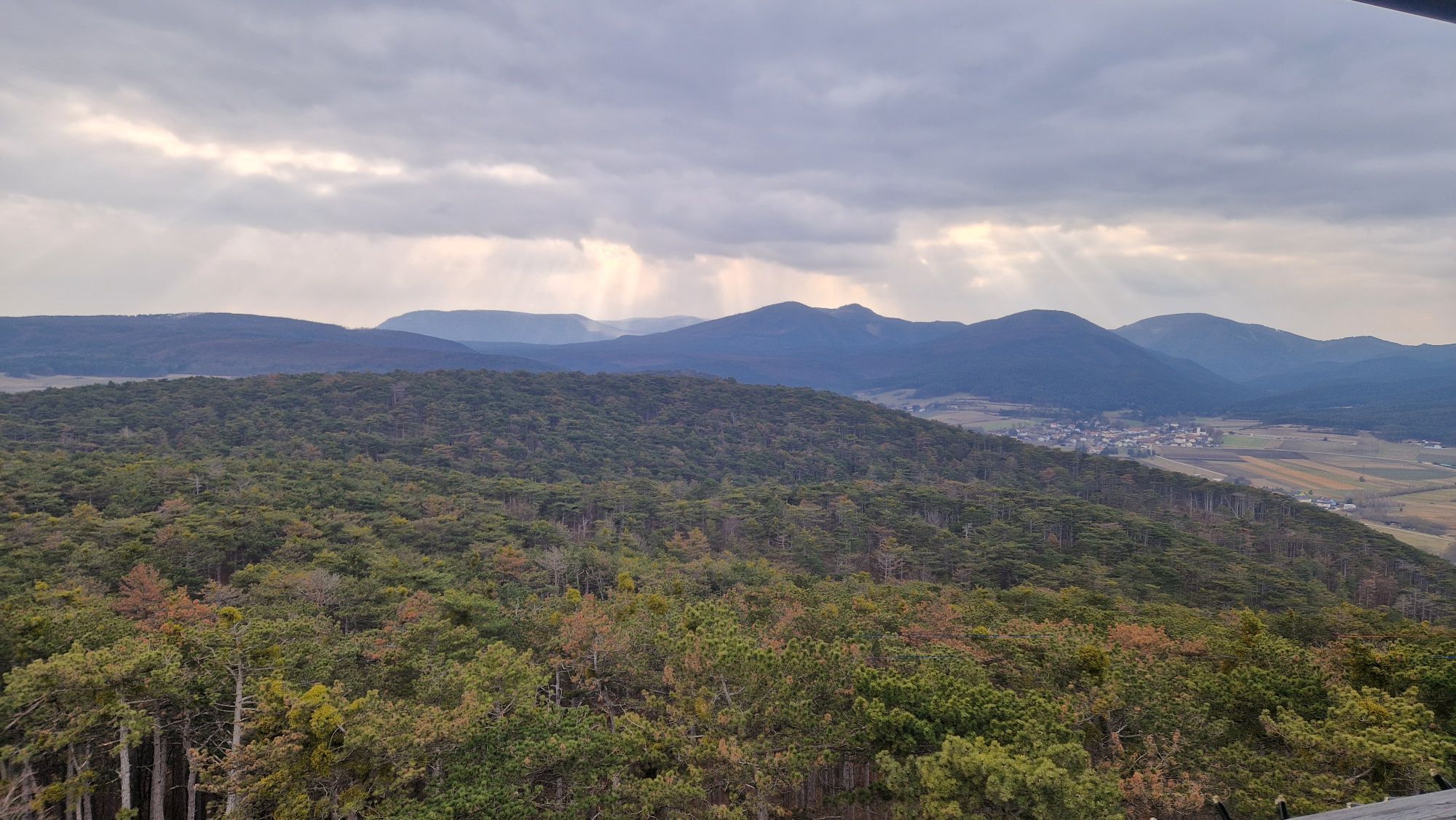
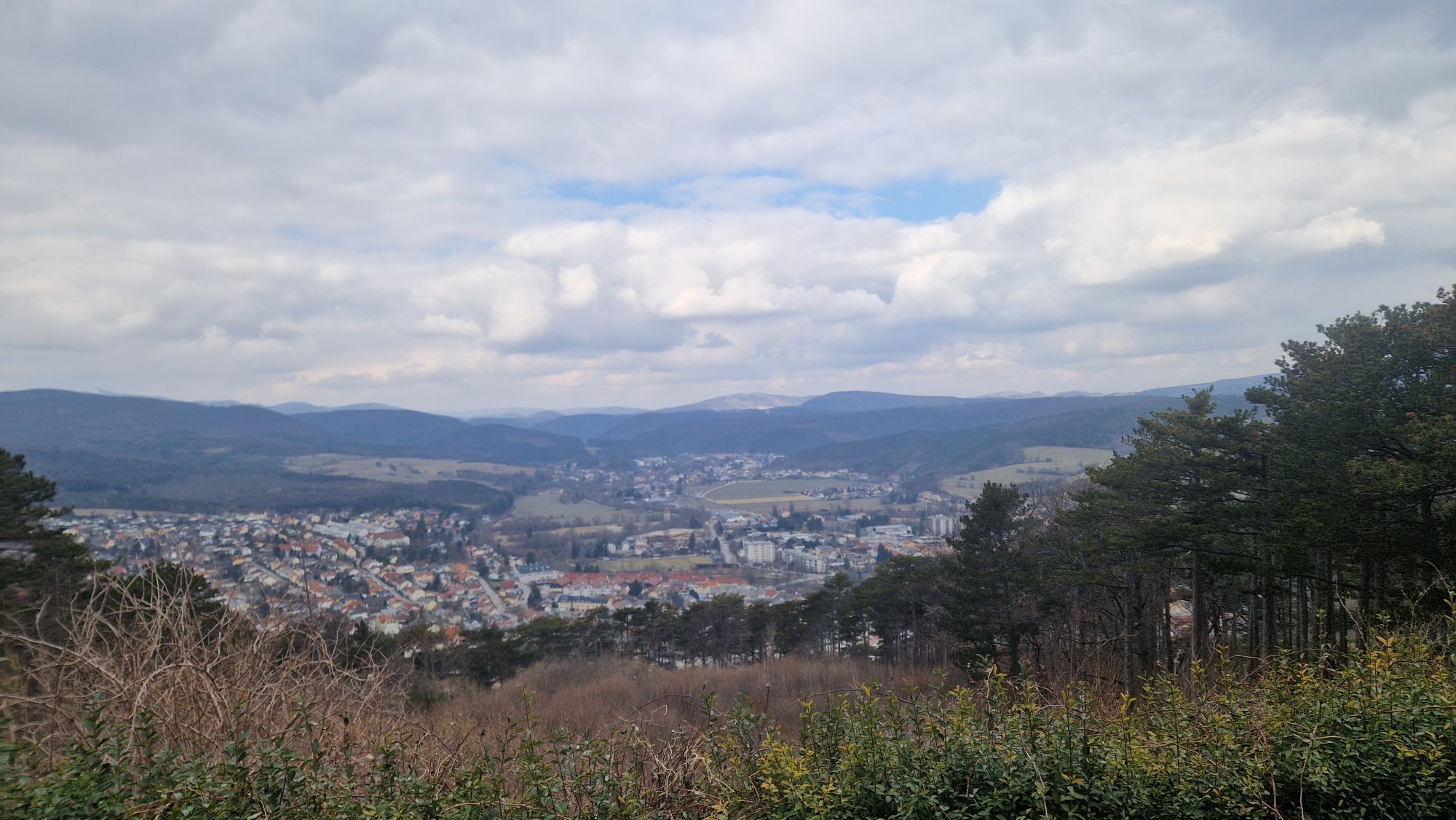
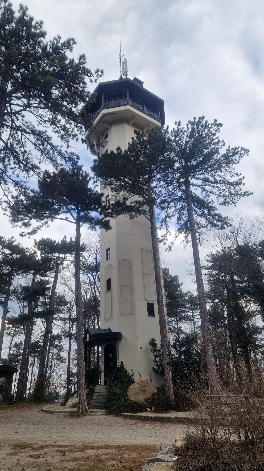
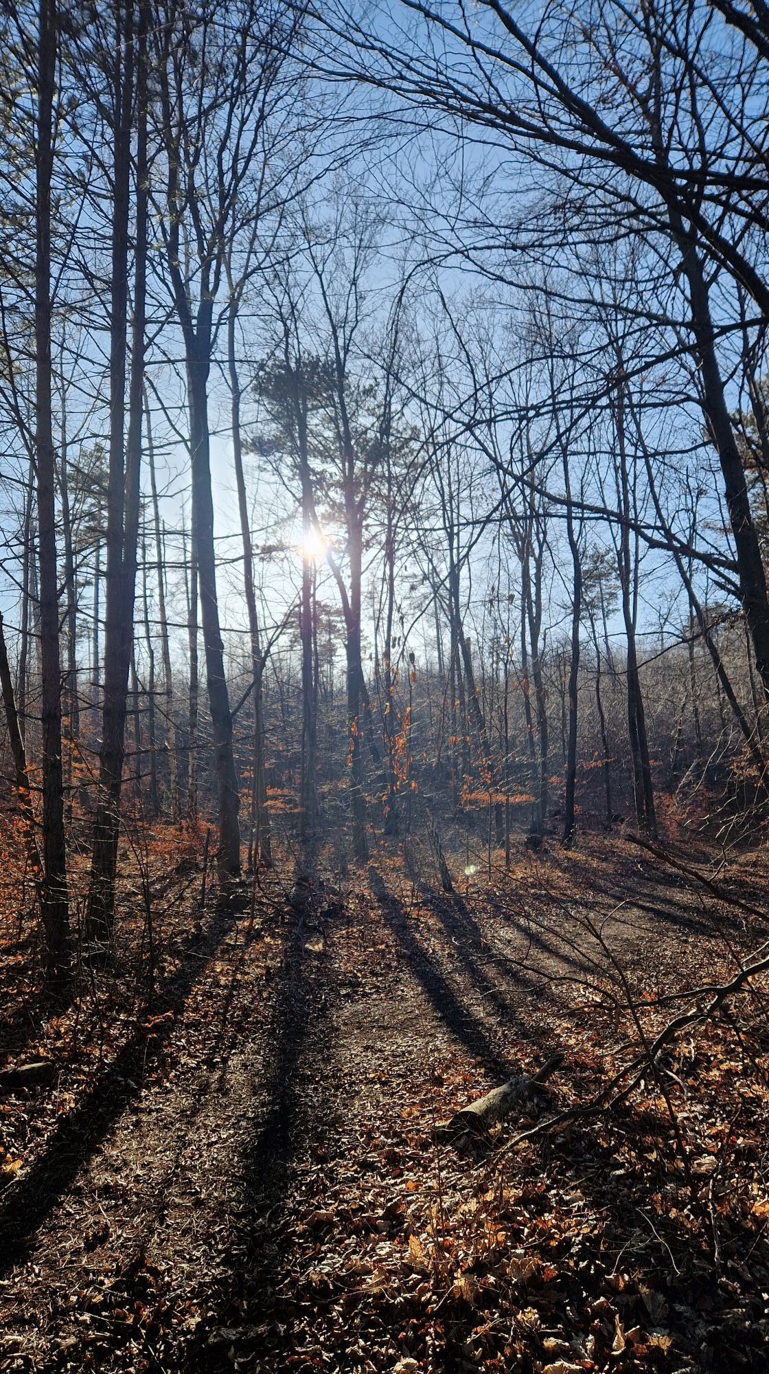
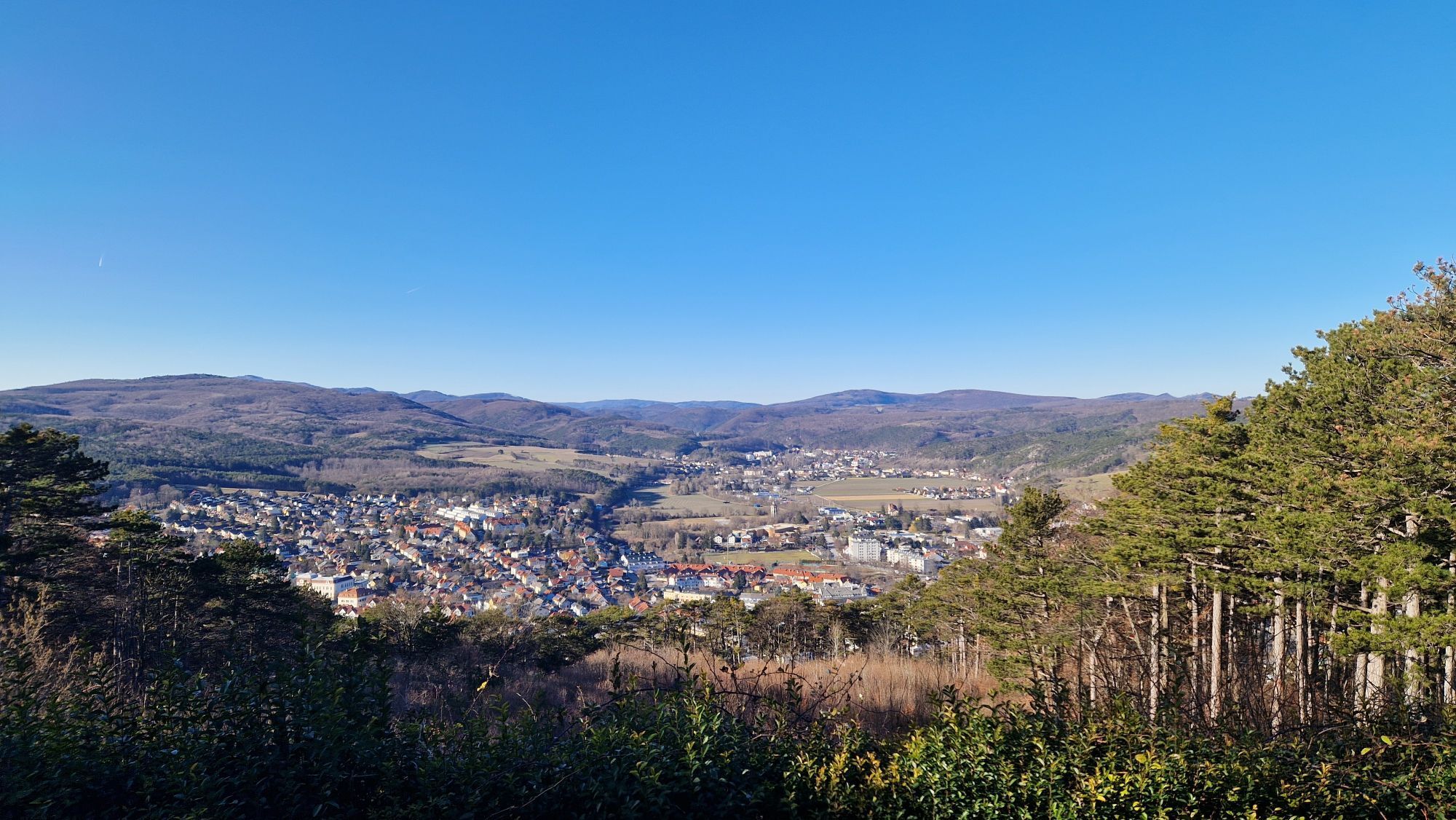
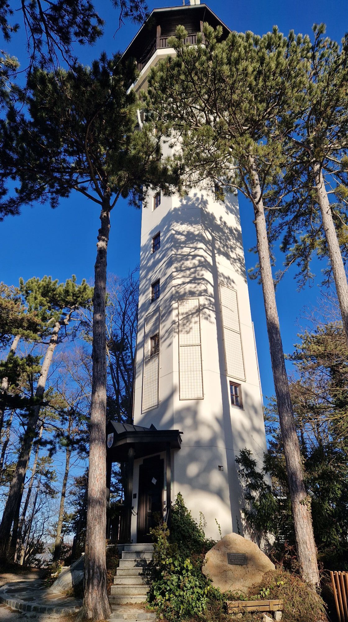
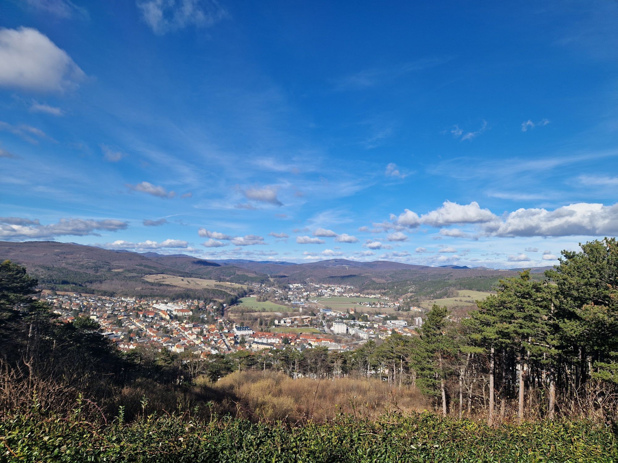
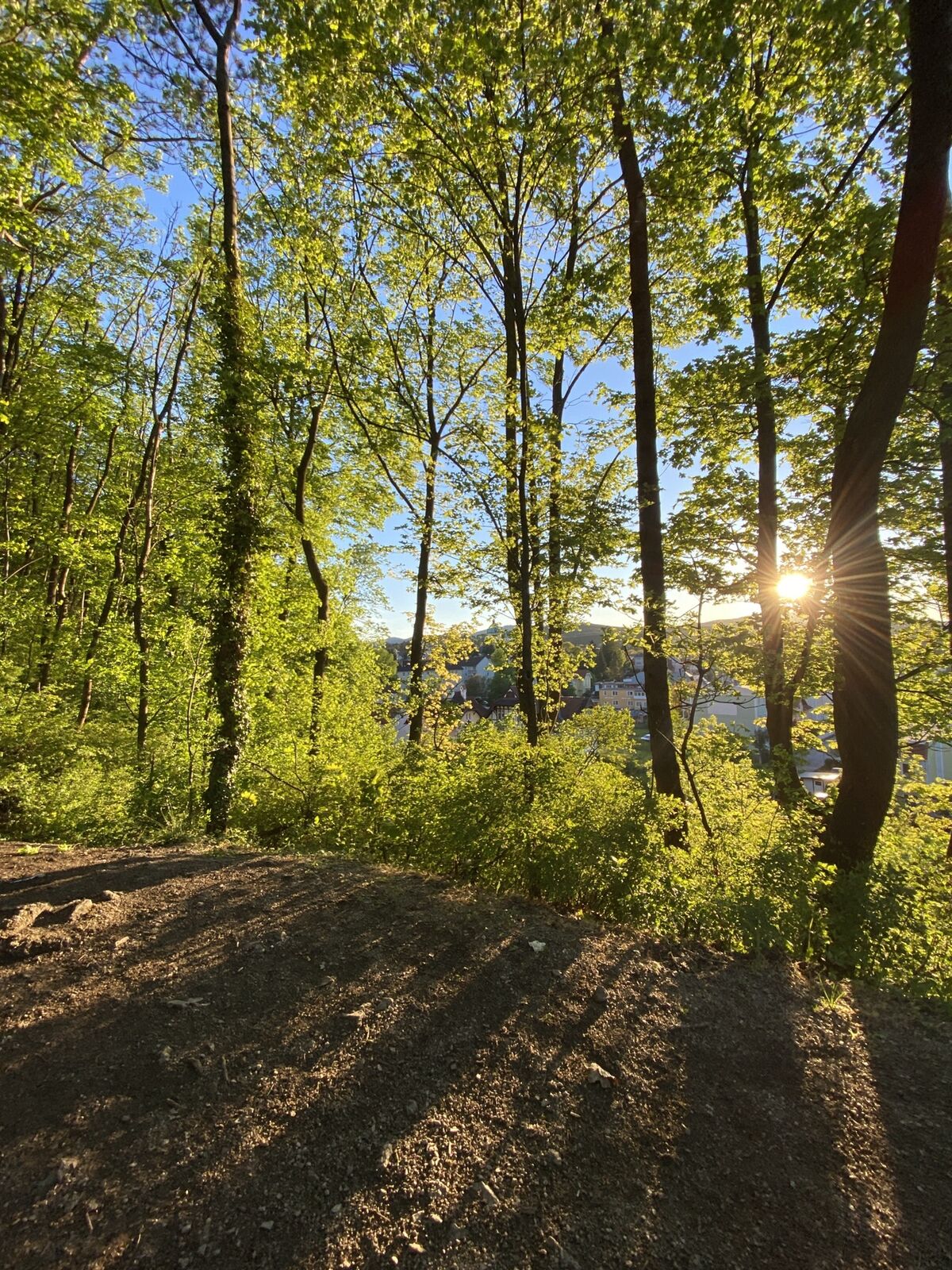
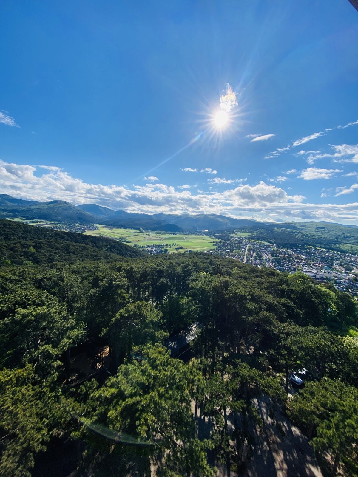
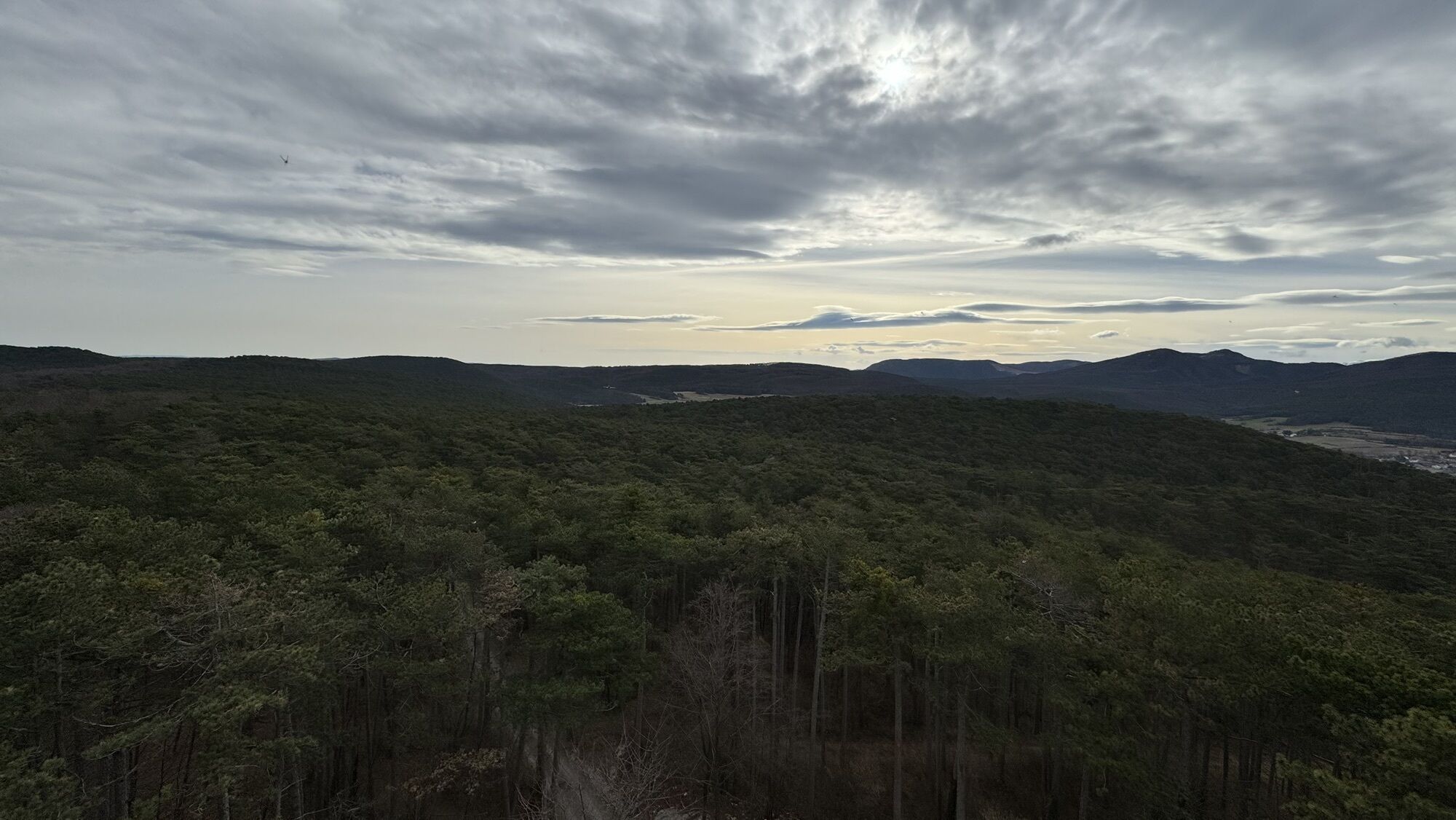
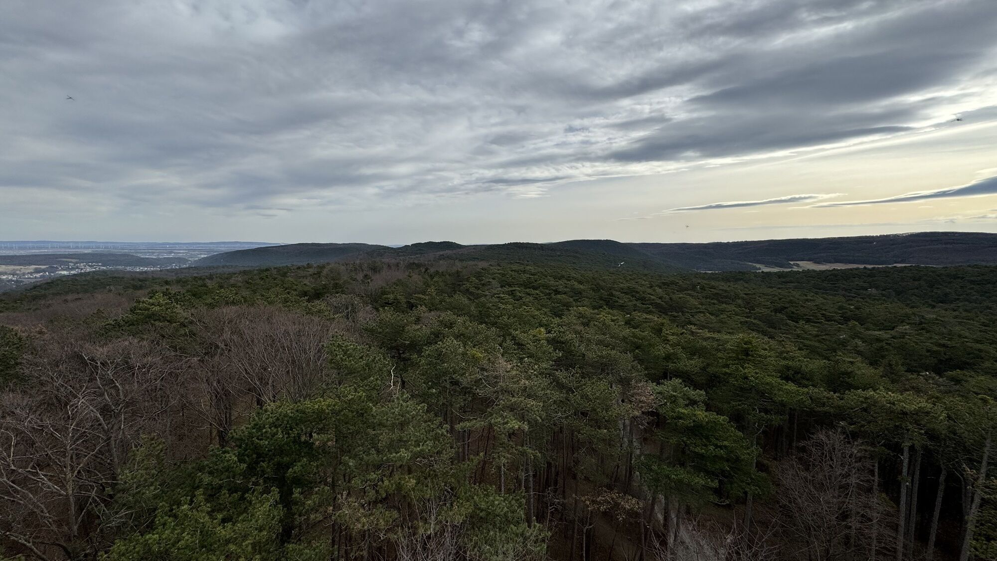
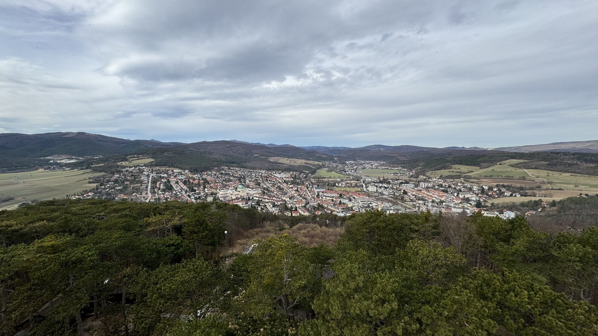
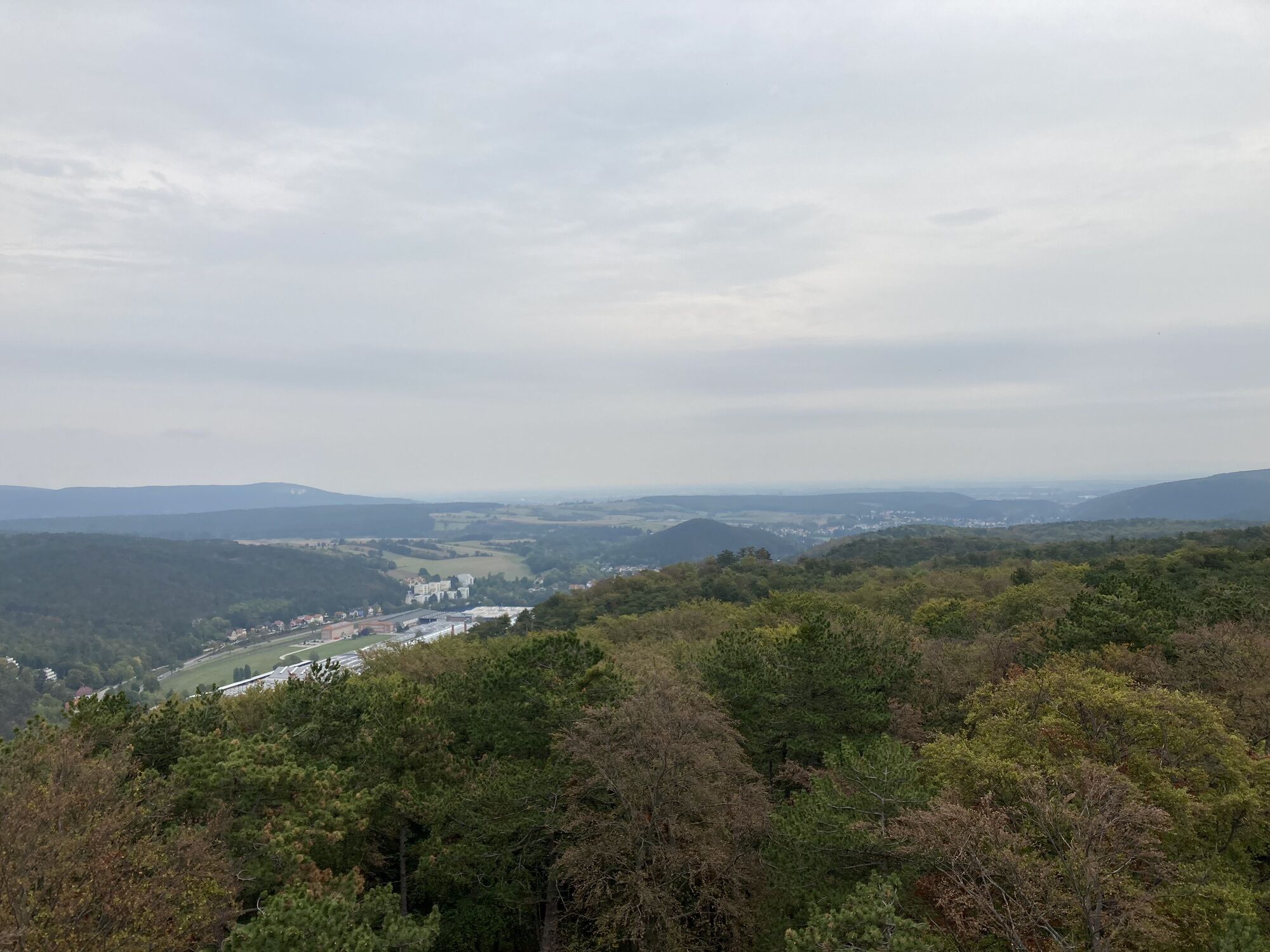
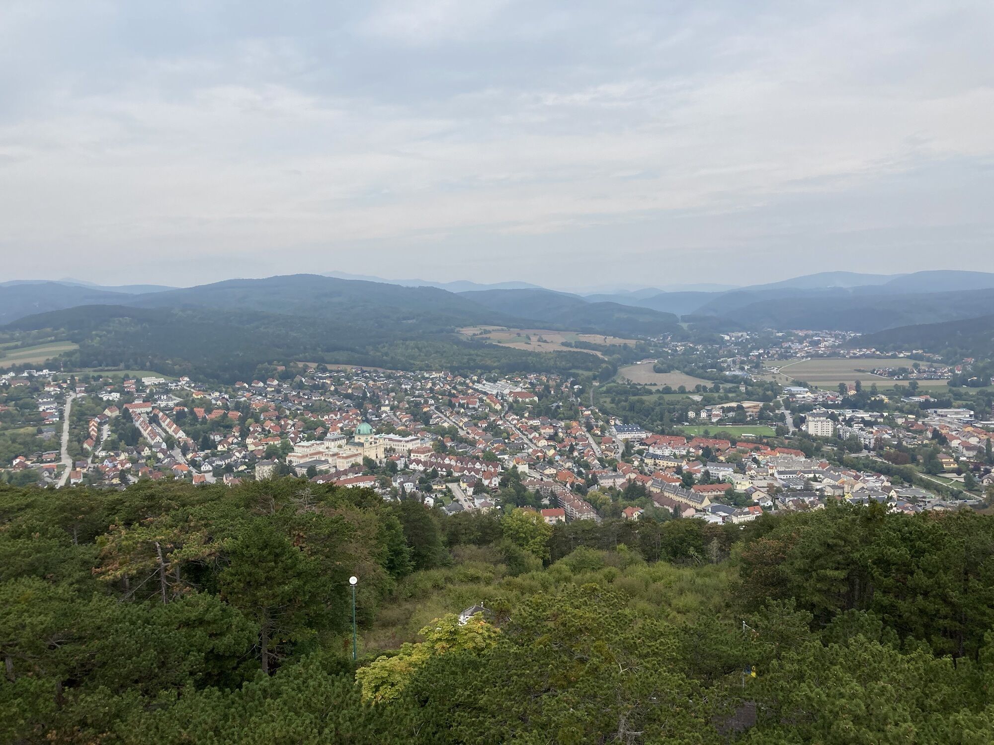
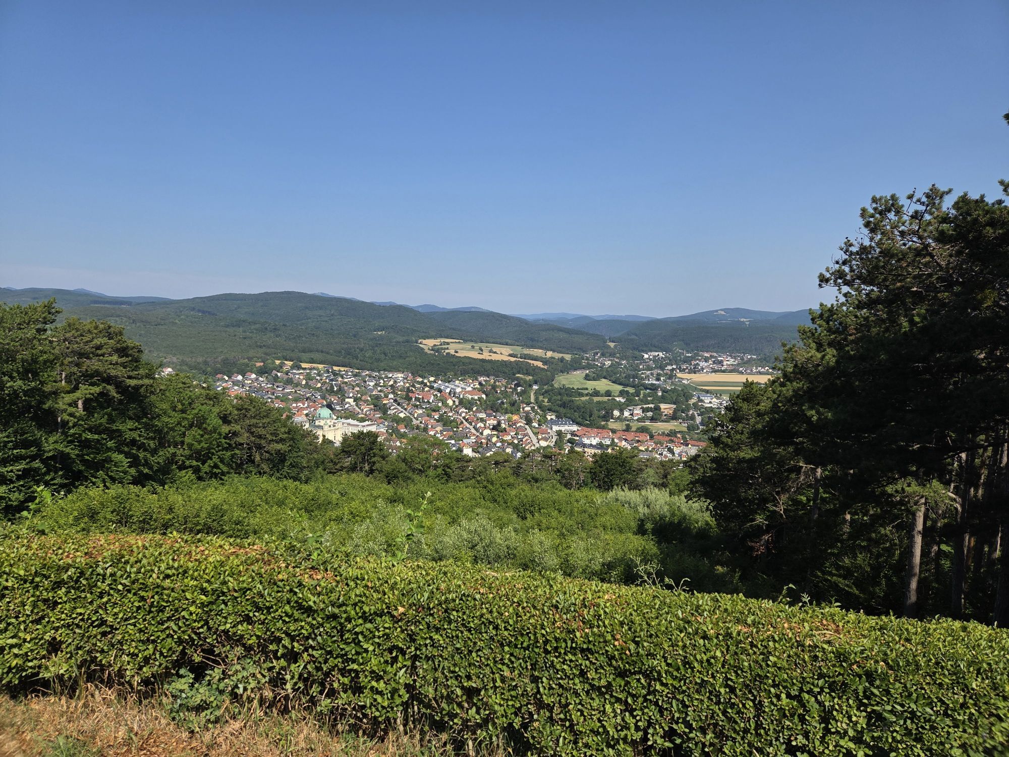
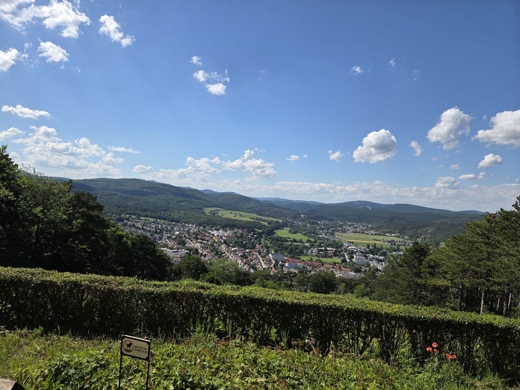
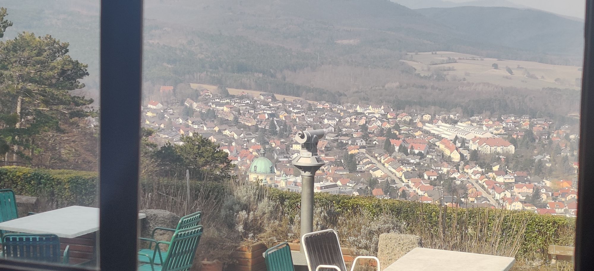
<p>Our route starts directly at the Berndorf train station. From here, there are three marked hiking trails up to the viewing platform. We follow the green marking. After about 150 m eastwards, we turn into Ing.-Eugen-Essenther-Straße, a traffic-calmed residential street, and reach the state road to Hernstein or Kleinfeld. We take the second left turn and walk on the main road to Kleinfeld. To avoid this less attractive section, there is a footpath at the level of Seilbahnstraße directly to Kleinfeld. It is slightly longer but free of motor vehicle traffic. If we stay on the main road, we reach the access road to the woodland hut in about 1.5 km. A non-marked forest road (except for the direction arrow "to the woodland hut"), about 2 km long, leads up to the hut. A nicely designed terrace with an equally nice view over Berndorf invites you to rest there. Just below the hut, at the junction to the Georg Chapel, a blue marked path joins in. There is also a cross with a rest area here. A must is to visit the 1990 built Guglzipf anniversary lookout. The view in all directions is impressive. Our hike continues towards St. Veit. Right behind the lookout, a forest educational path begins, our marking is now green. Until the covered rest area, we could shorten the way back to the station two times: via Mühlsteig (red marking) or via Sängersteig (also red). We stay on our green marking. About 350 m after the rest area, this marking ends and leads left into the forest. We stay on the non-marked forest road before arriving in the forest settlement of St. Veit. Here, we meet the green marking again. We walk past the Seecamping Masai Mara and reach the St. Veit an der Triesting stop.</p>
<p>Sturdy footwear, water, rain protection</p>
<p>Despite the most careful research, there may be unexpected short-, medium- or even long-term closures of the routes (e.g. due to forestry closures by landowners). Parking options recommended by us may be private or subject to fees – please pay attention to the signs on site. Some paths may be sectionally or entirely run through fee-charging enterprises/areas (e.g. nature parks or gorges). However, this is usually explicitly mentioned in the description. All information is without guarantee, and the use of the paths is at your own risk. Any path closures as well as notes from hunting and landowners must be observed.</p>
<p>Starting point: By train to the "Berndorf/Triestingtal Stadt" stop<br />End point: By train to the "St.Veit/Triesting" stop</p>
<p>Scattered in Berndorf<br />Scattered at the St.Veit/Triesting station</p>
Wienerwald Tourismus GmbH
Hauptplatz 11, 3002 Purkersdorf
Tel.: 02231/62176
E-Mail: office@wienerwald.info
Website: www.wienerwald.info
Places to eat along the route
Waldhütte GuglzipfBerndorfer StadtwirtHeuriger GampInn-culture establishments nearby
Gasthaus zum guten HirtenTip!
The Triestingtal offers more beautiful hiking and cycling routes as well as excursion destinations. More information can be found here - Triestingtal.
Priljubljeni izleti v okolici
-
4.5
Erlebnisweg Peilstein...auf den Spuren der Kletterer
srednjaTematska pot 6 km -
4.8
ÖTK Klettersteig (vormals HTL Klettersteig) und Blutspur (D/E)
težkoVia ferrata 1.41 km -
4.8
Hohe Wand: Babygrat (1+), Rundwanderung und Wagnersteig (A)
težkoPohodništvo 11.8 km -
4.7
AUGUSTINERHÜTTE Parkplatz bei B210 Hoher Lindkogel, Langes Tal 20221030
srednjaPohodništvo 8.02 km -
4.7
Kleine und große Klause - Rundwanderung
svetlobaPohodništvo 7.10 km -
4.6
Angelos Touren: vom Helenental auf den Hohen Lindkogel
srednjaPohodništvo 11.4 km -
4.6
Wienerwald: Maria Raisenmarkt - Peilstein
svetlobaZimsko pohodništvo 6.82 km -
4.6
Von Furth an der Triesting auf das Hocheck, zurück über Eberbach
srednjaPohodništvo 14.3 km -
4.6
Panorama hike Hafnerberg
svetlobaPohodništvo 8.78 km -
4.5
Baden Helenental Krainerhütte Cholerakapelle RDW
srednjaPohodništvo 10.1 km
Pohodništvo in sledenje


Ne zamudite ponudb in navdiha za naslednje počitnice
Vaš e-poštni naslov je bil dodan na poštni seznam.





