







Circular hike around Exelberg
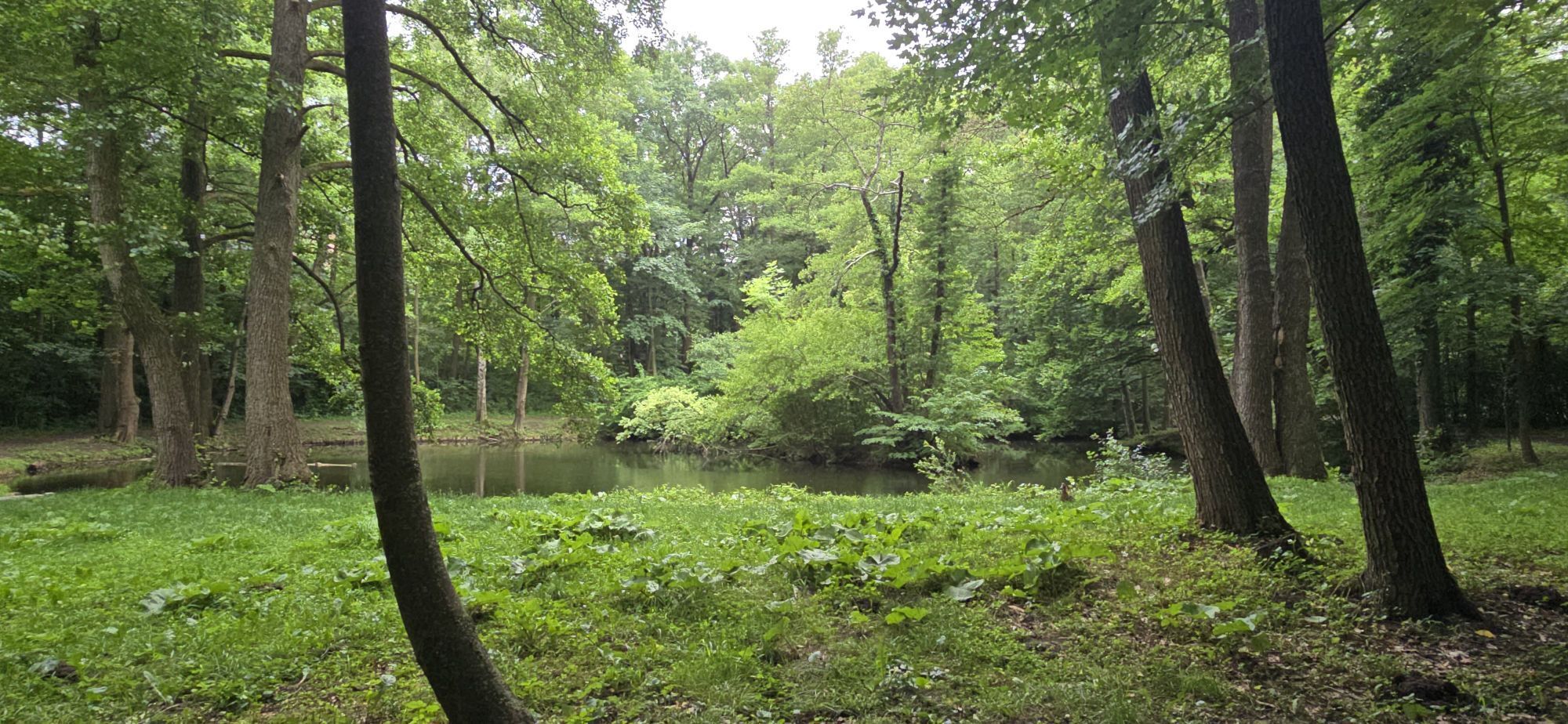
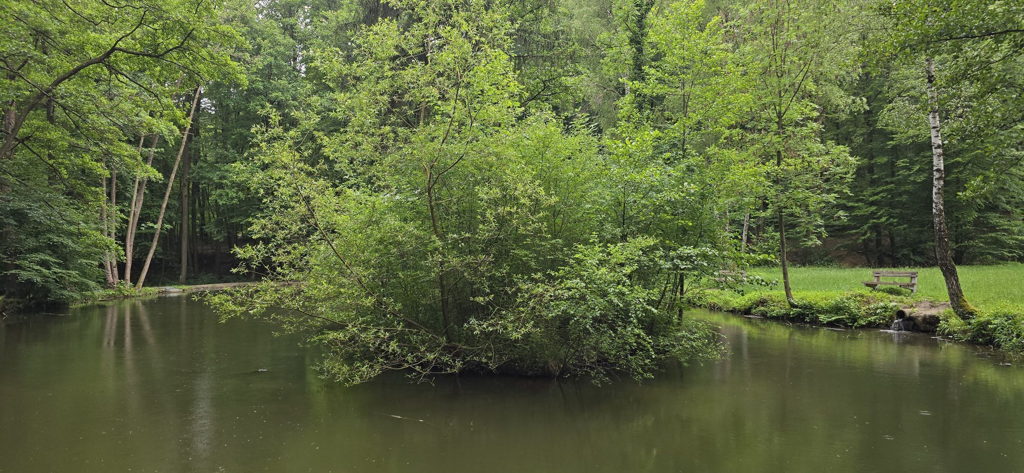
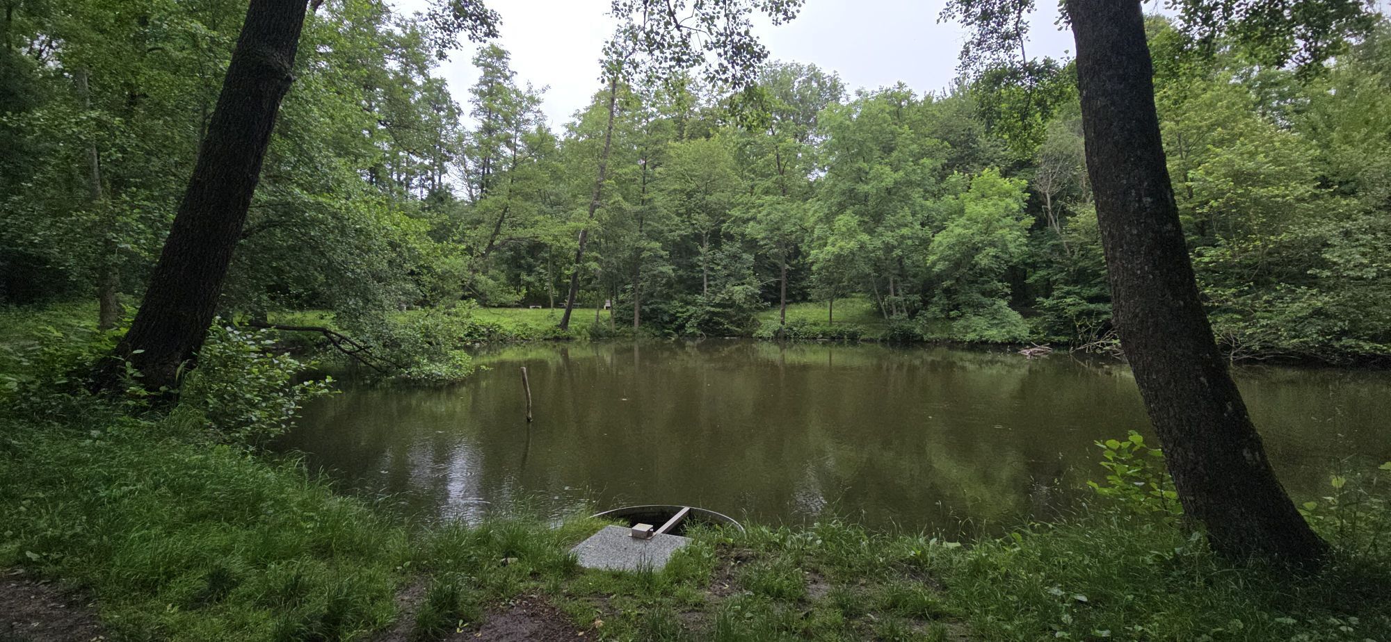
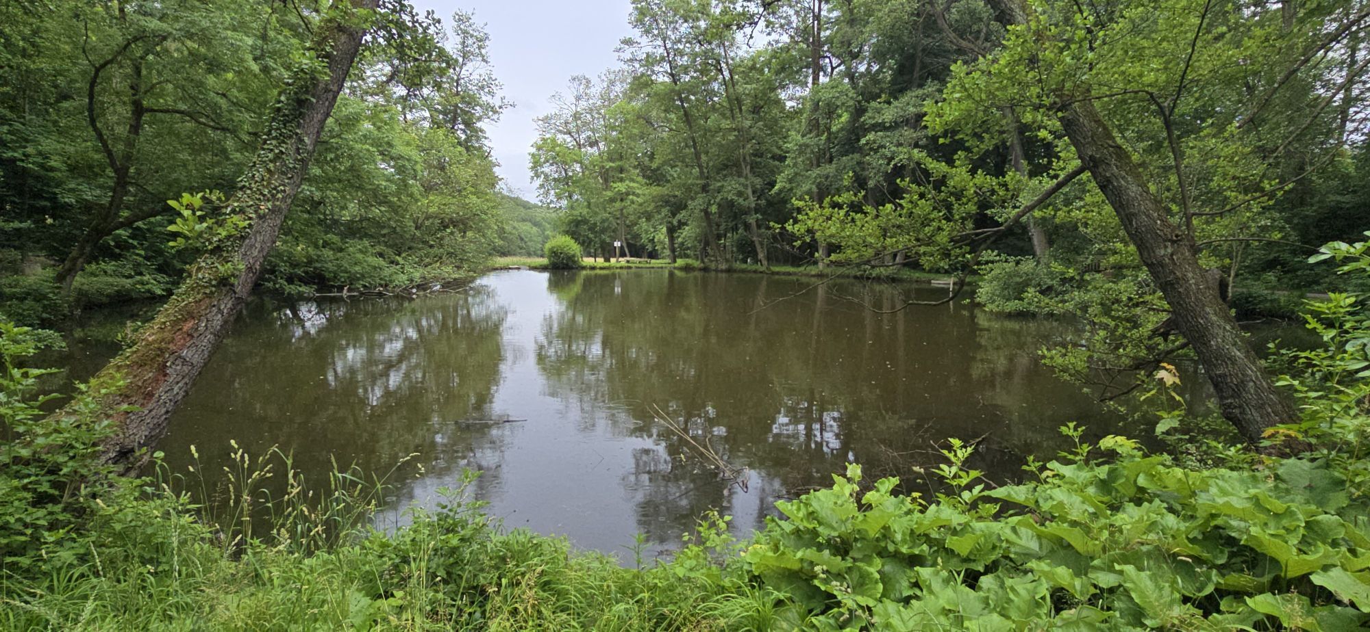
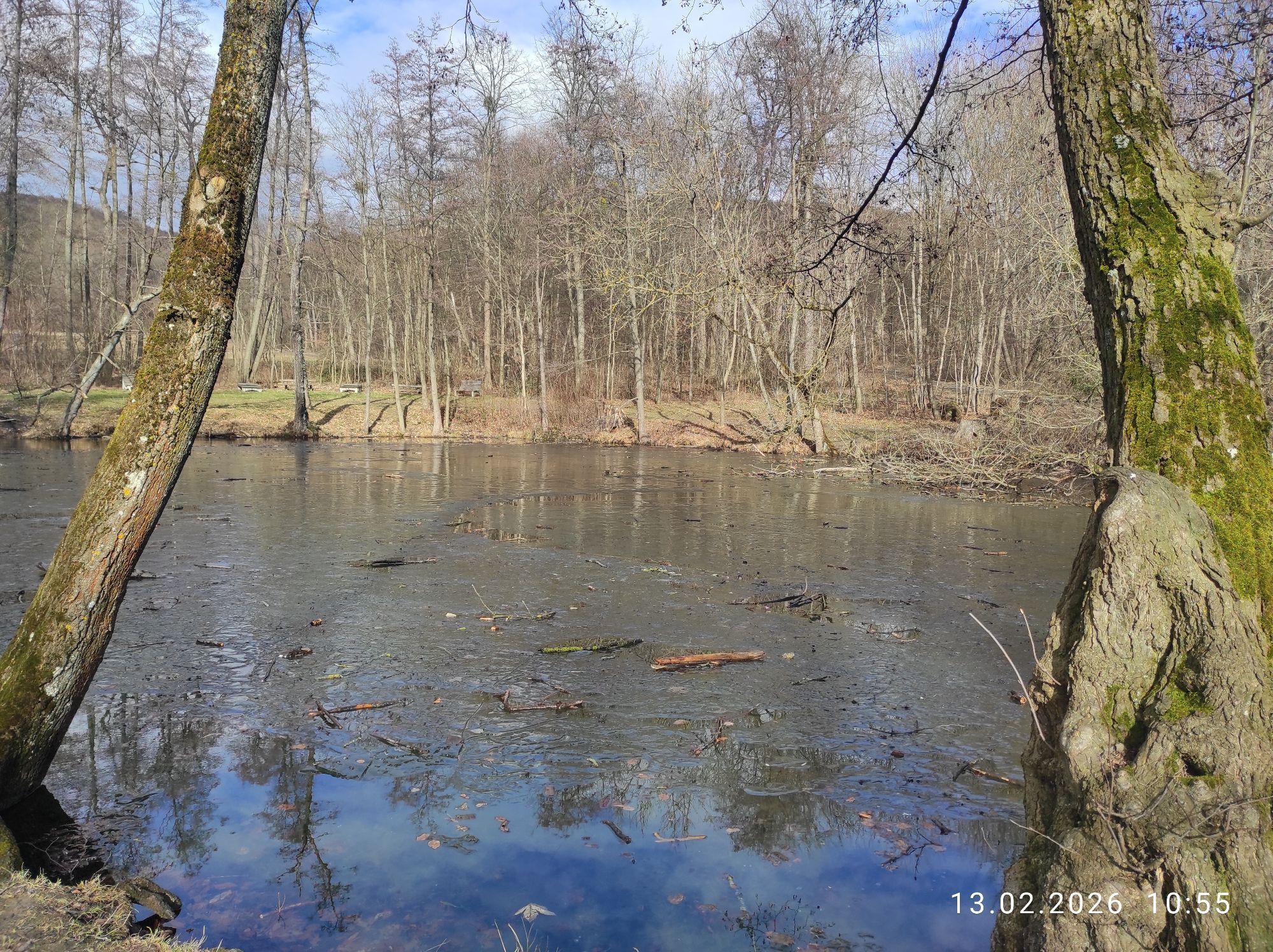
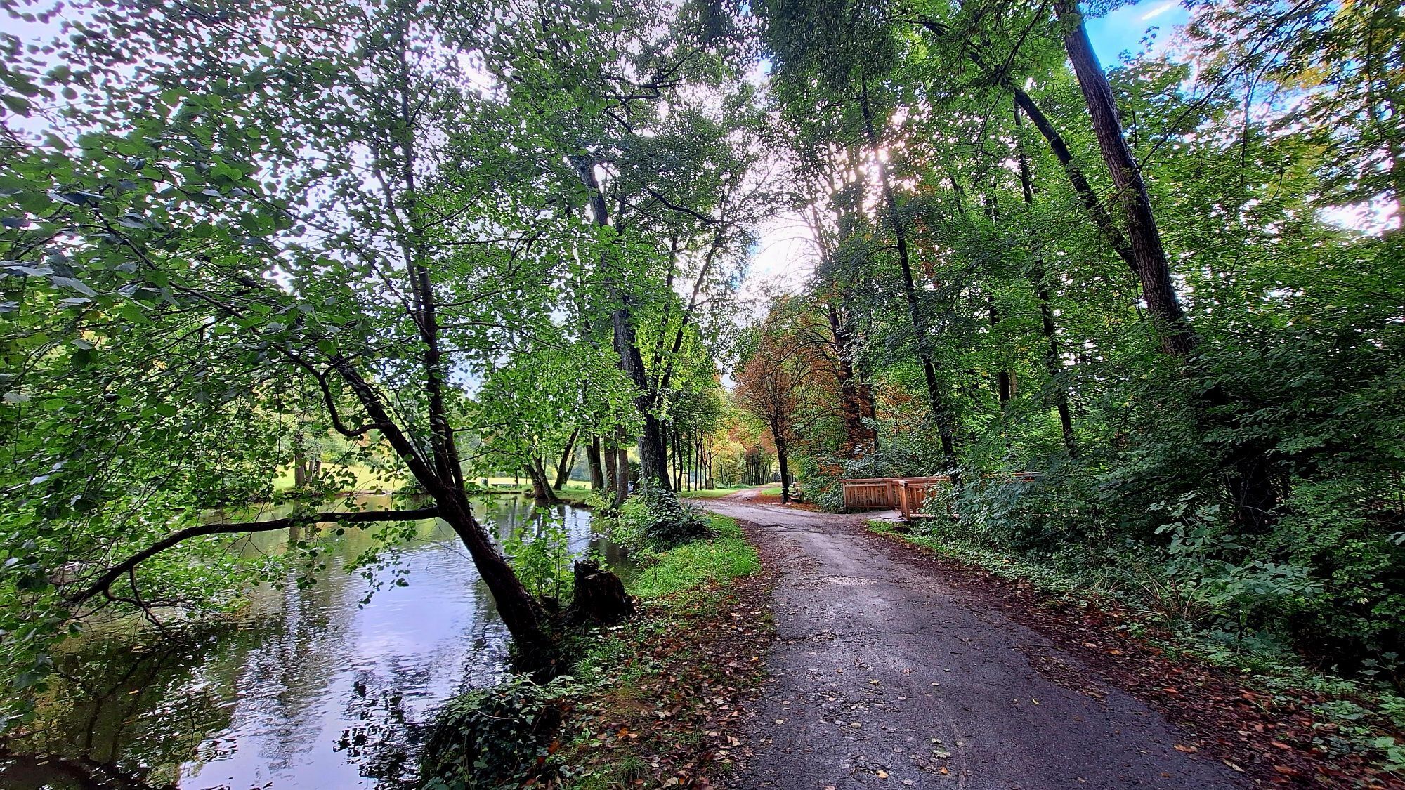
<p>Tip/Fun-Fact: Not only for the little ones, the playground in Schwarzenbergpark has a lot to offer. At the info point, you can learn interesting facts about the place and the Vienna Woods Biosphere Reserve.</p>



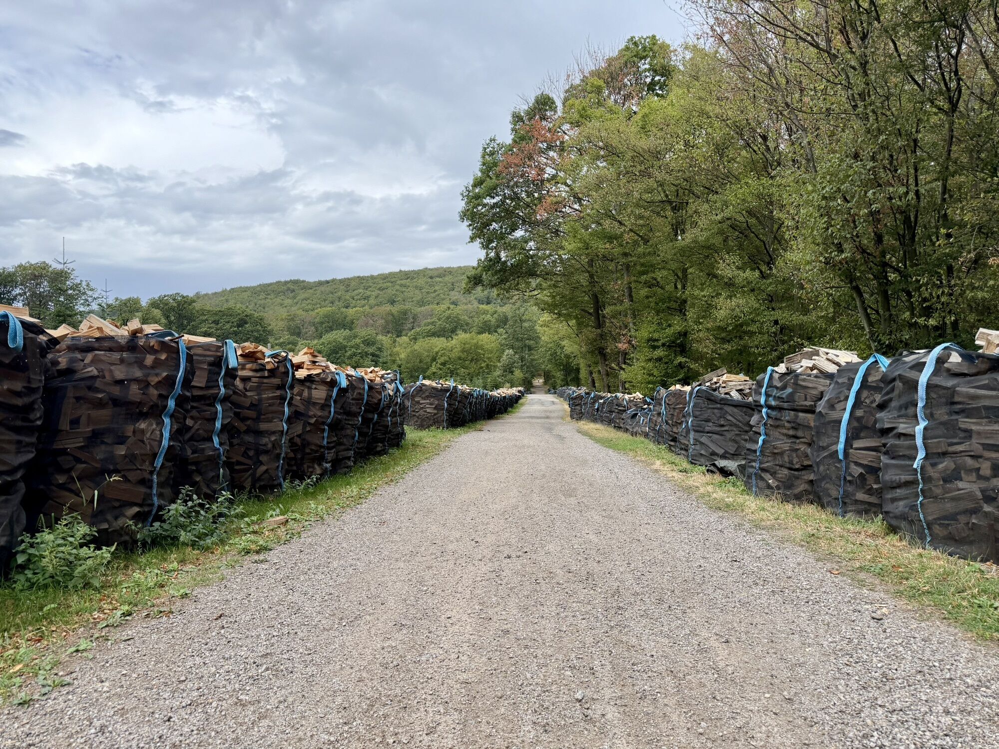
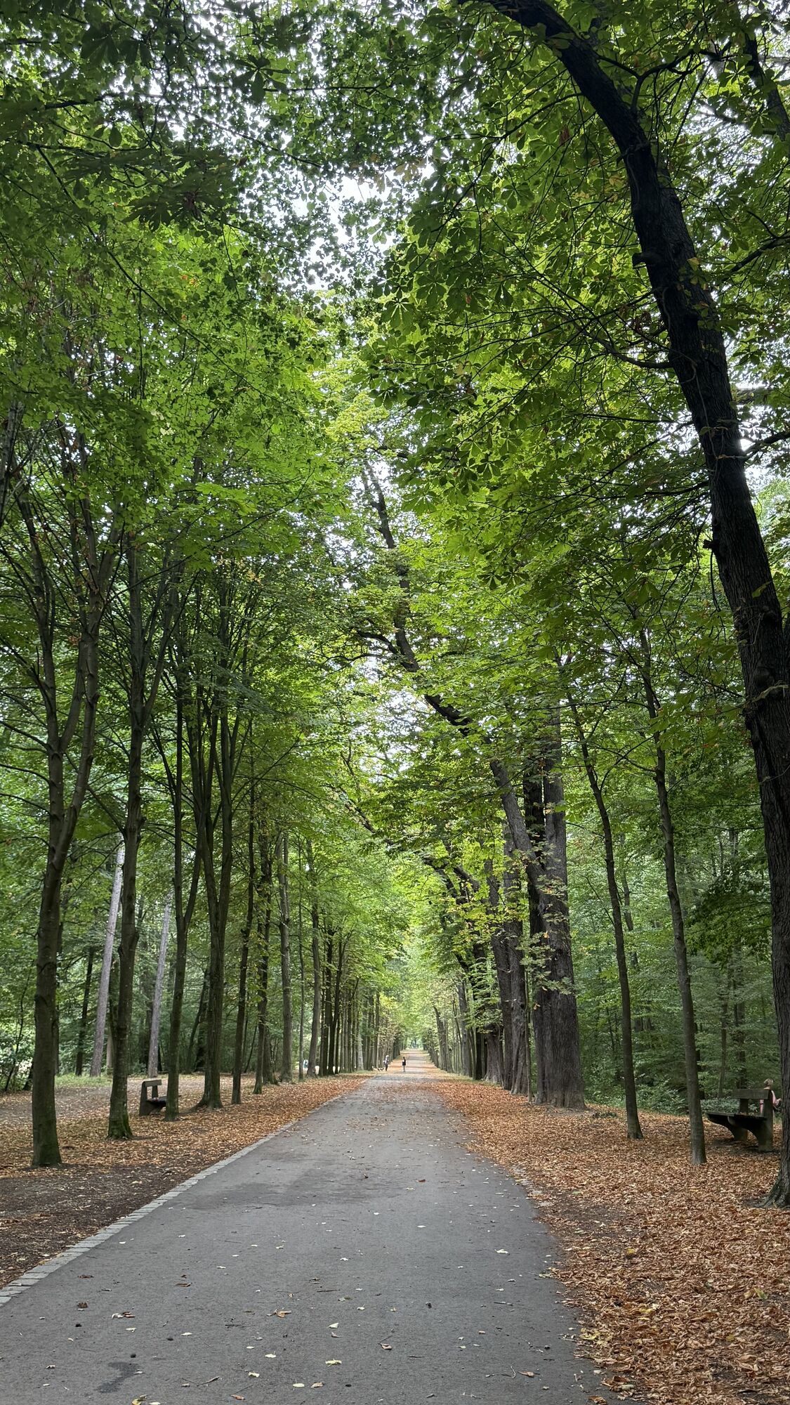
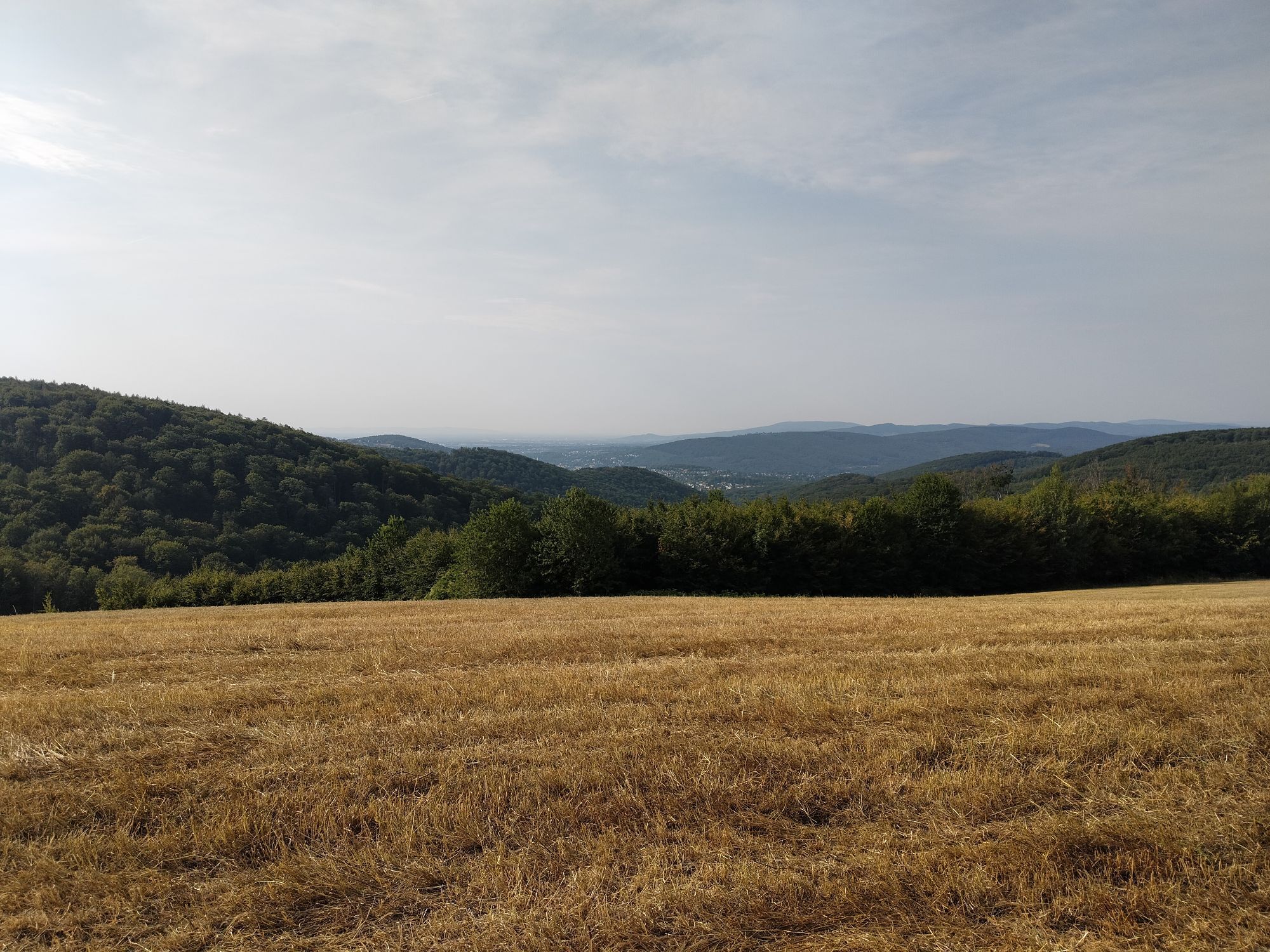
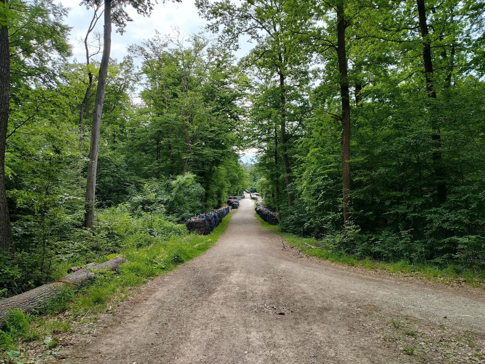
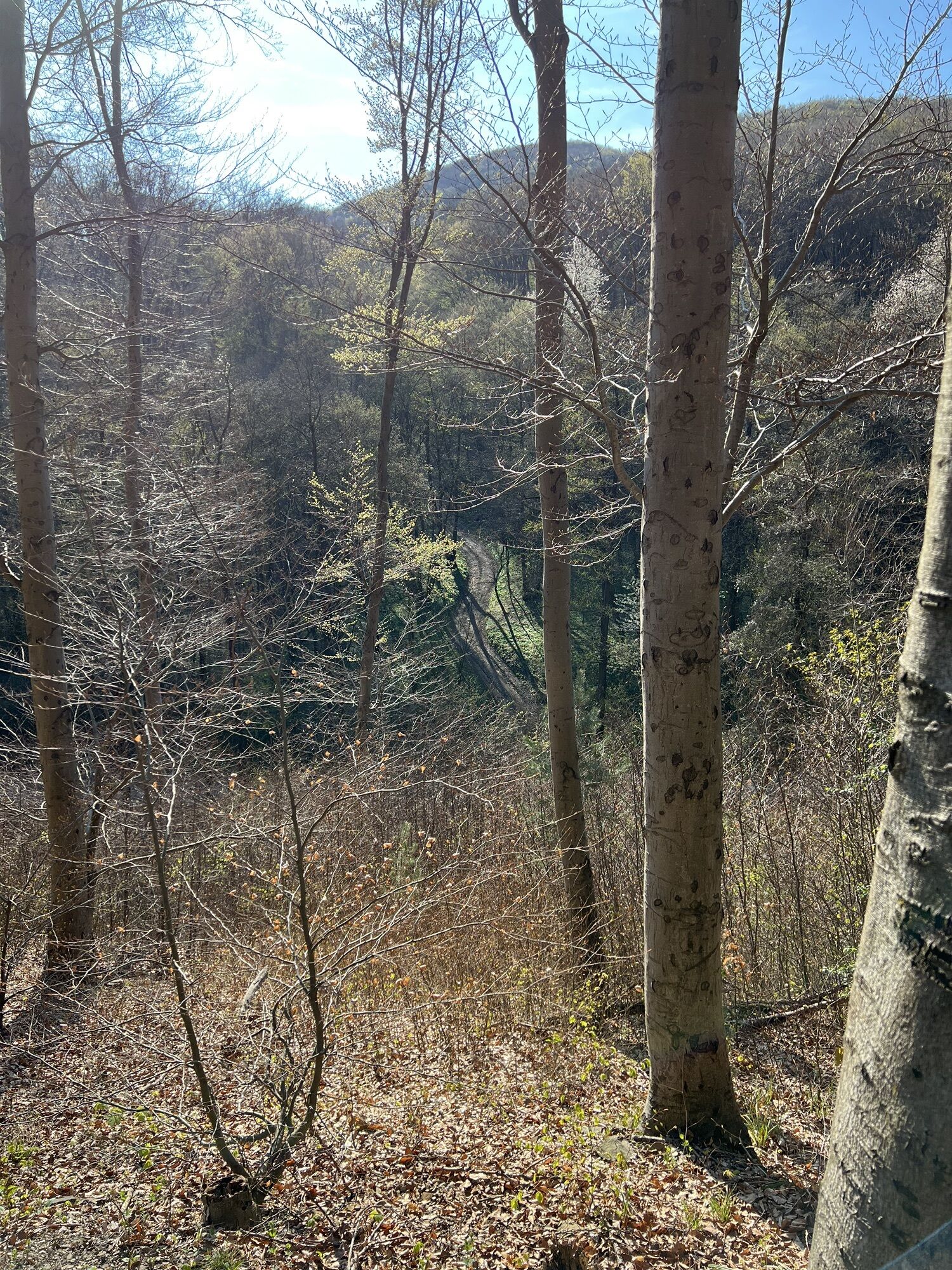
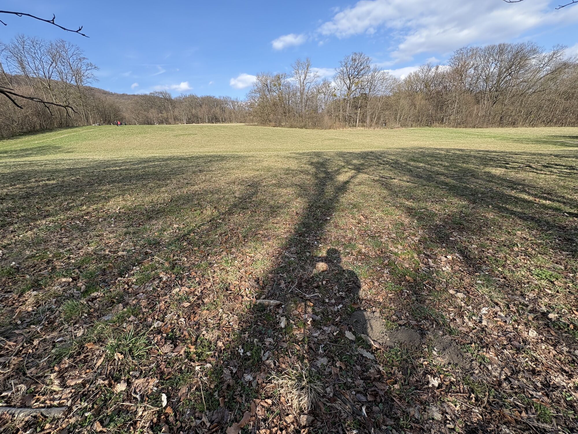
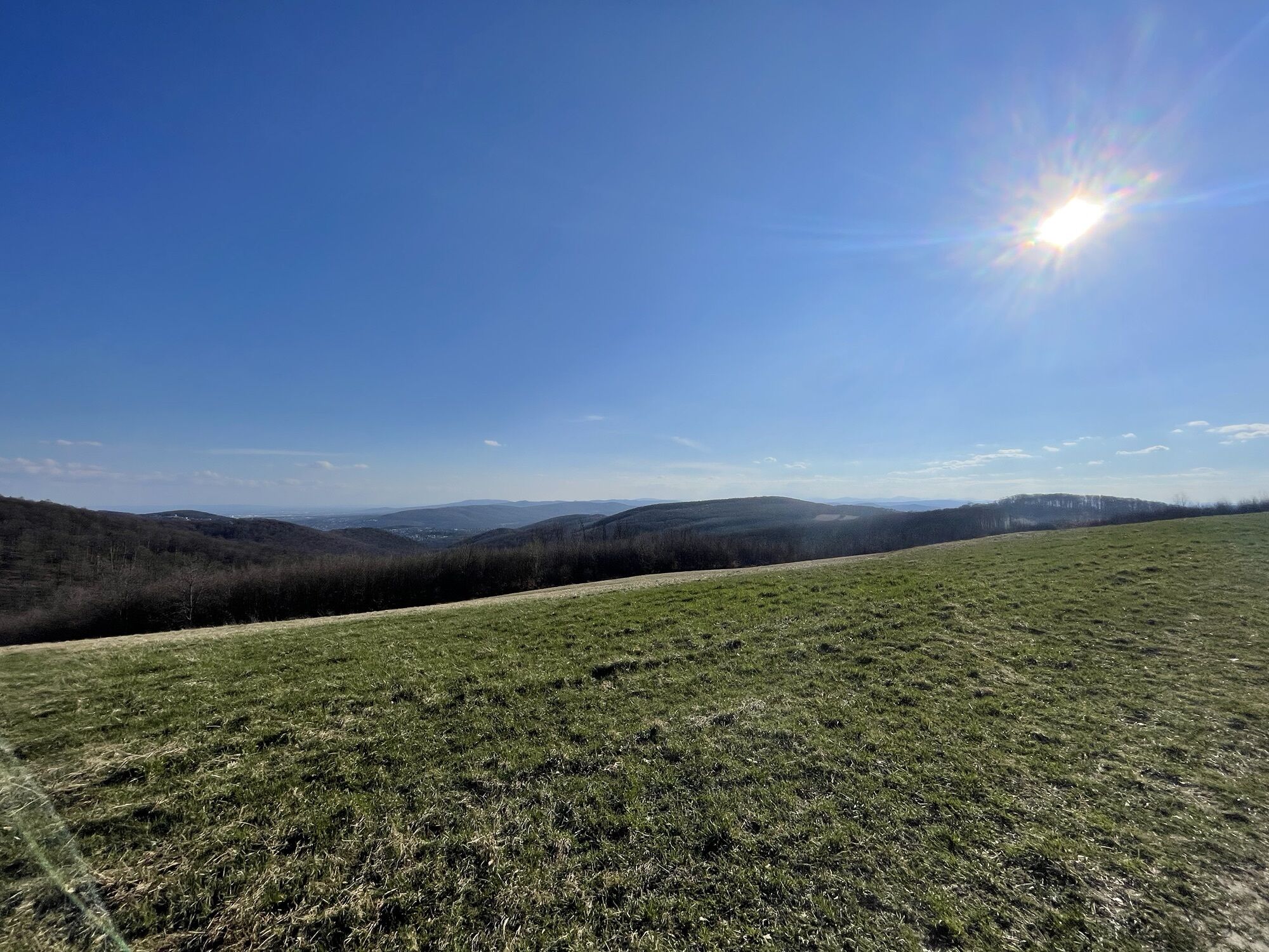
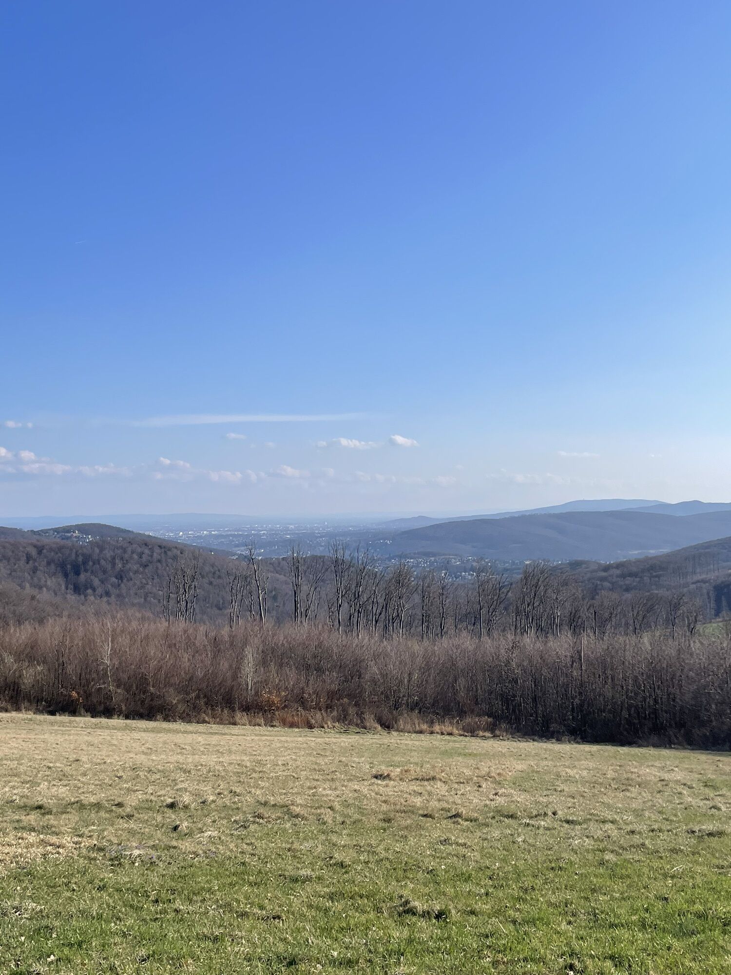
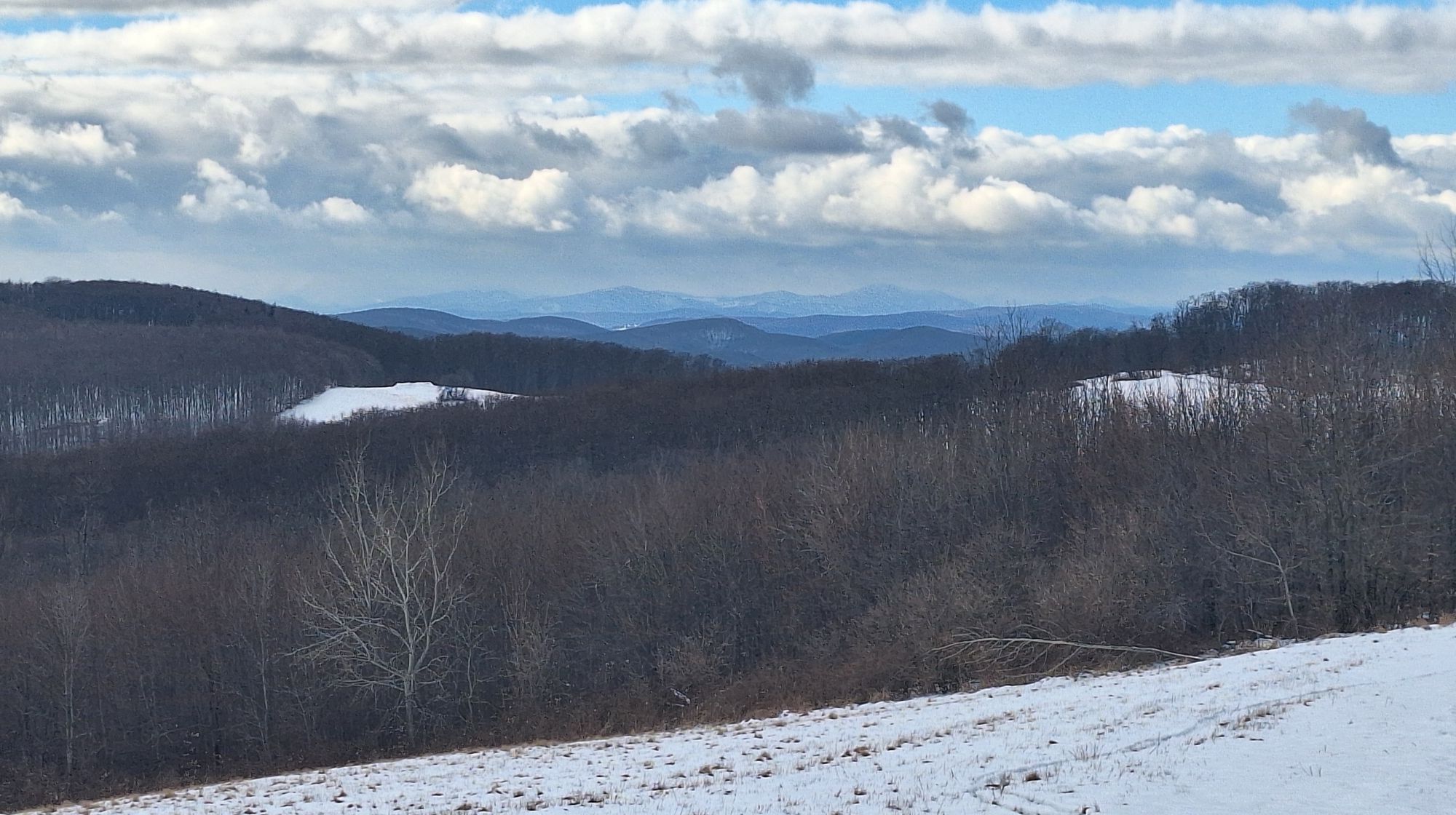
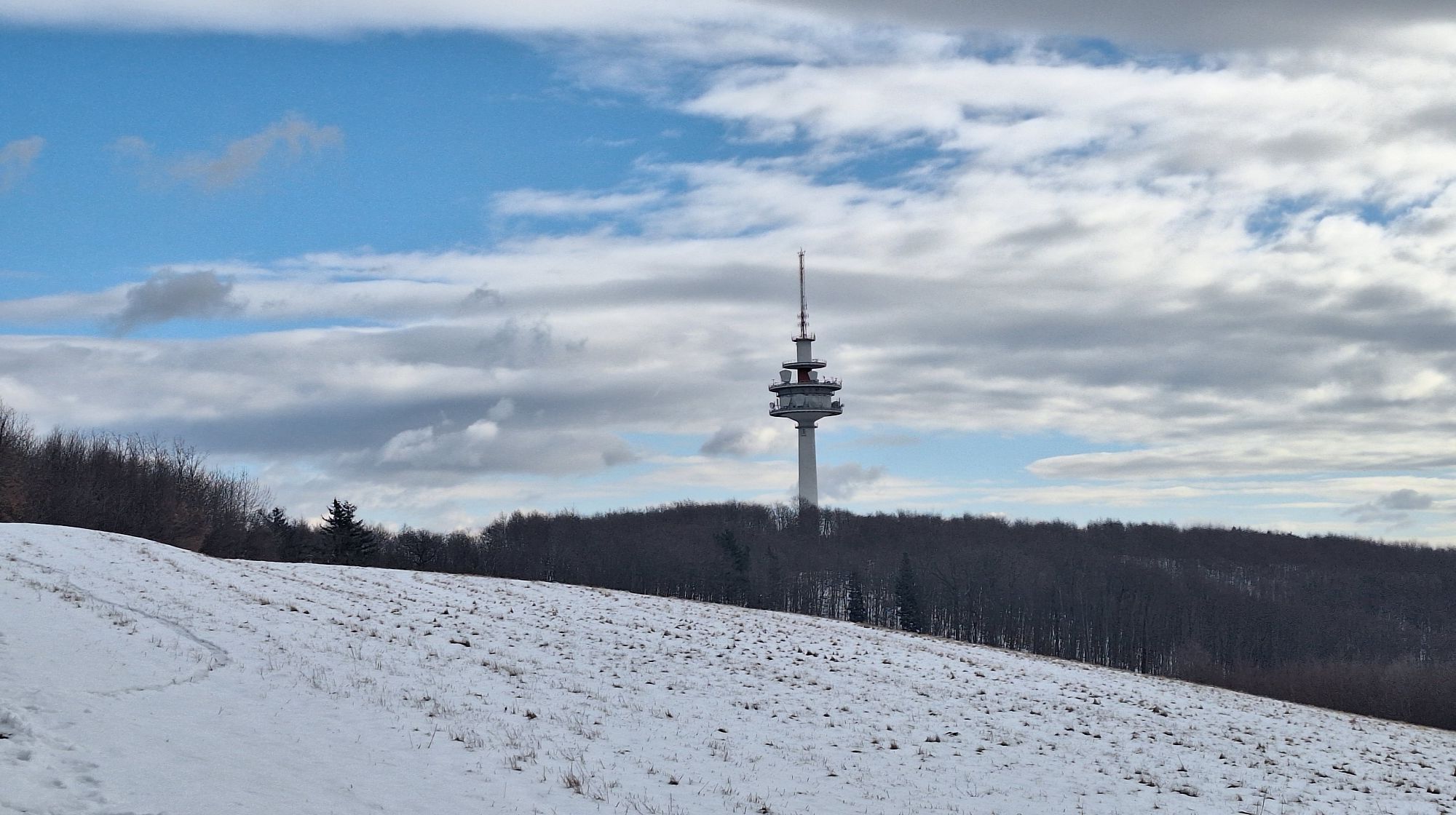
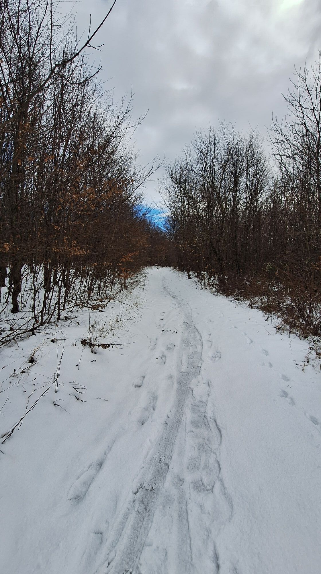
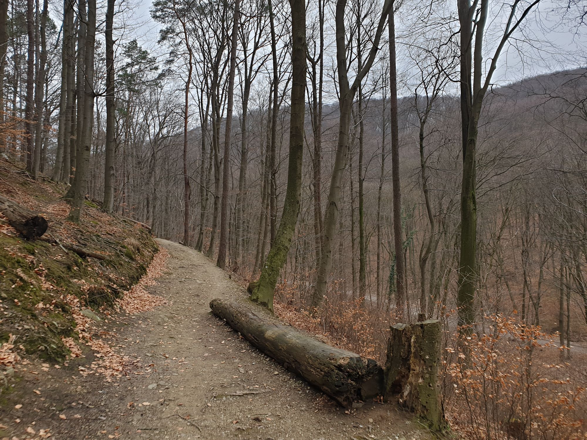
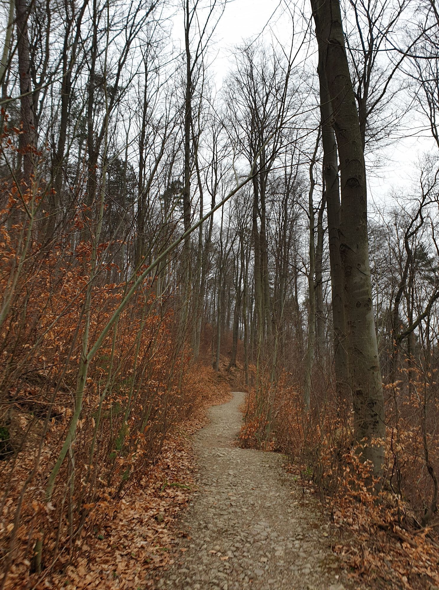
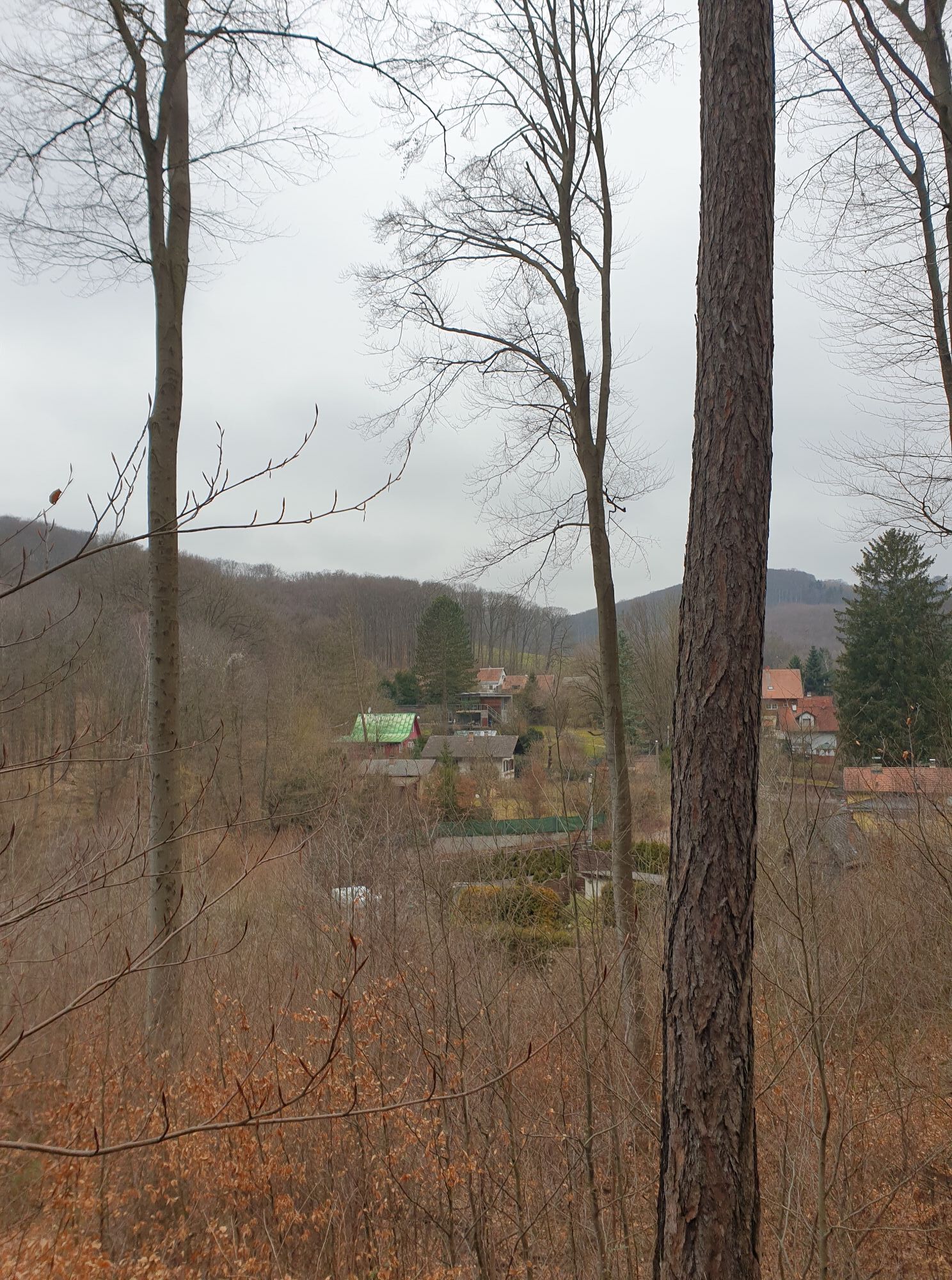
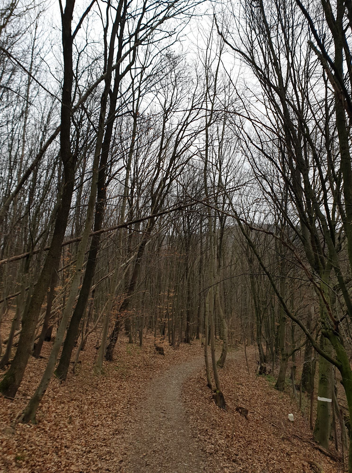
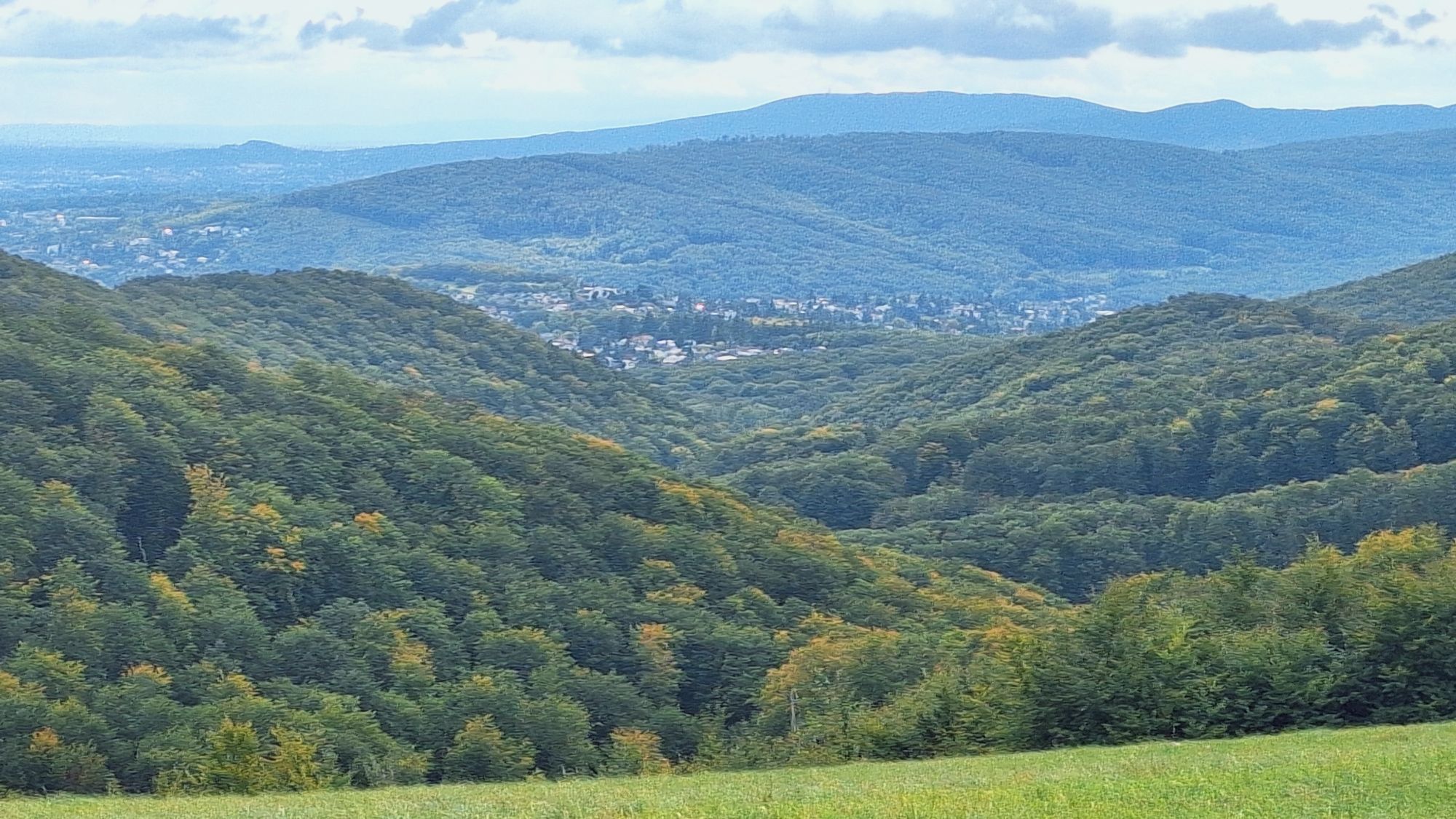
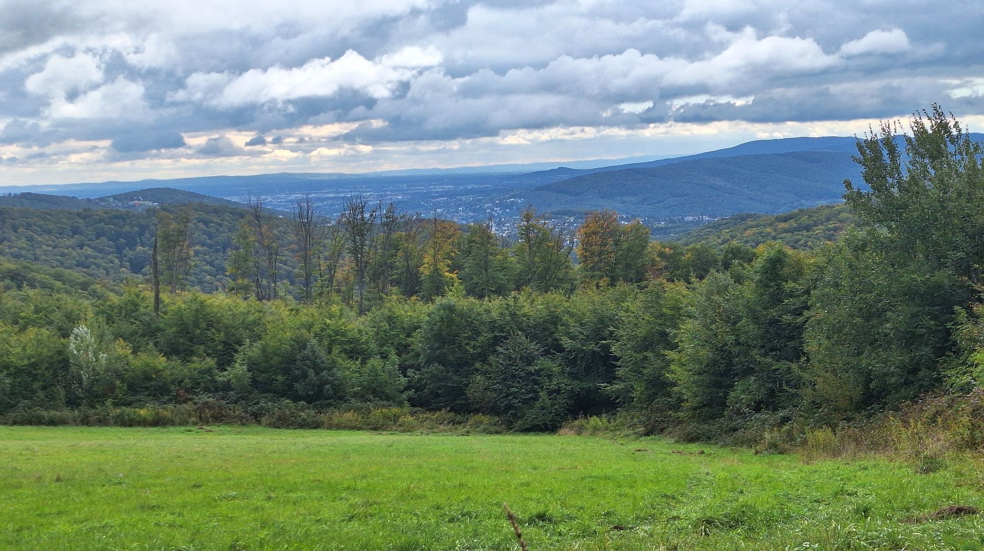
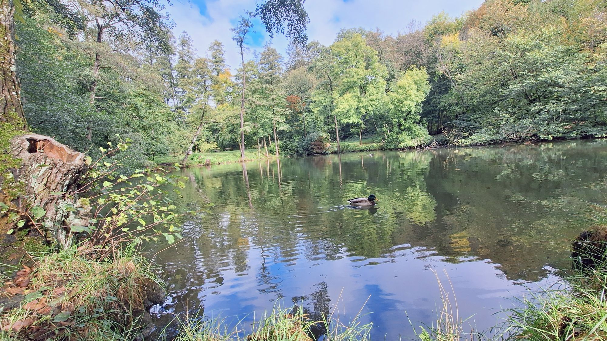
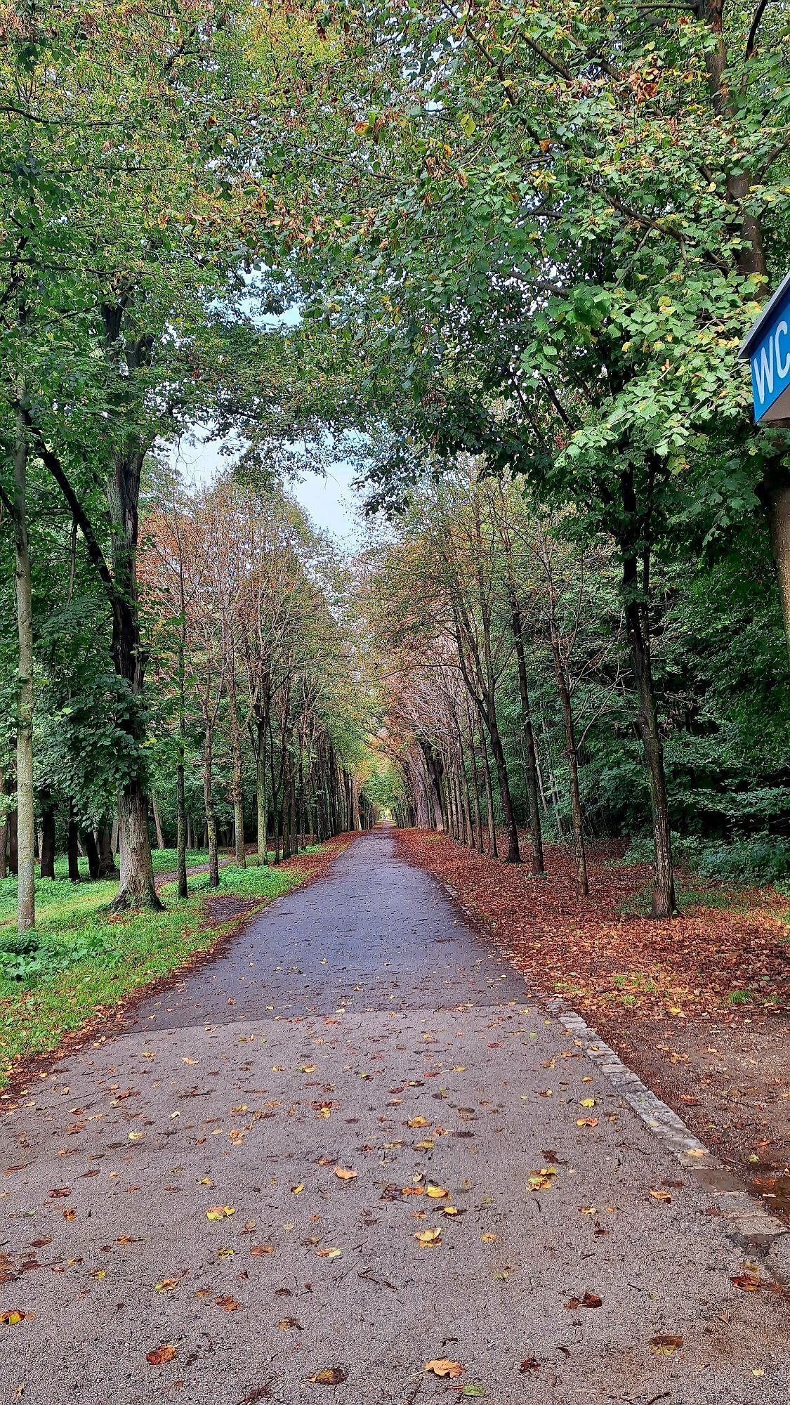
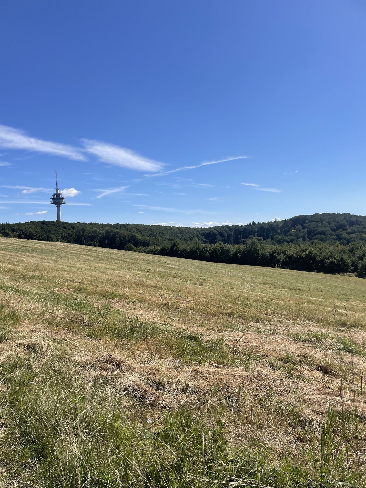
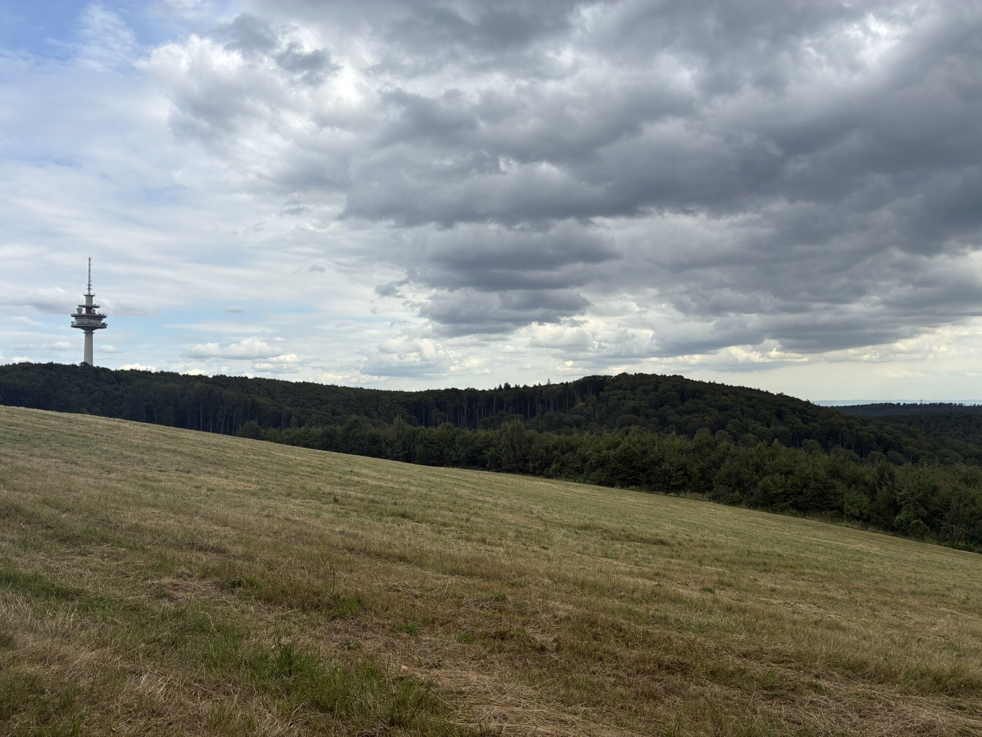
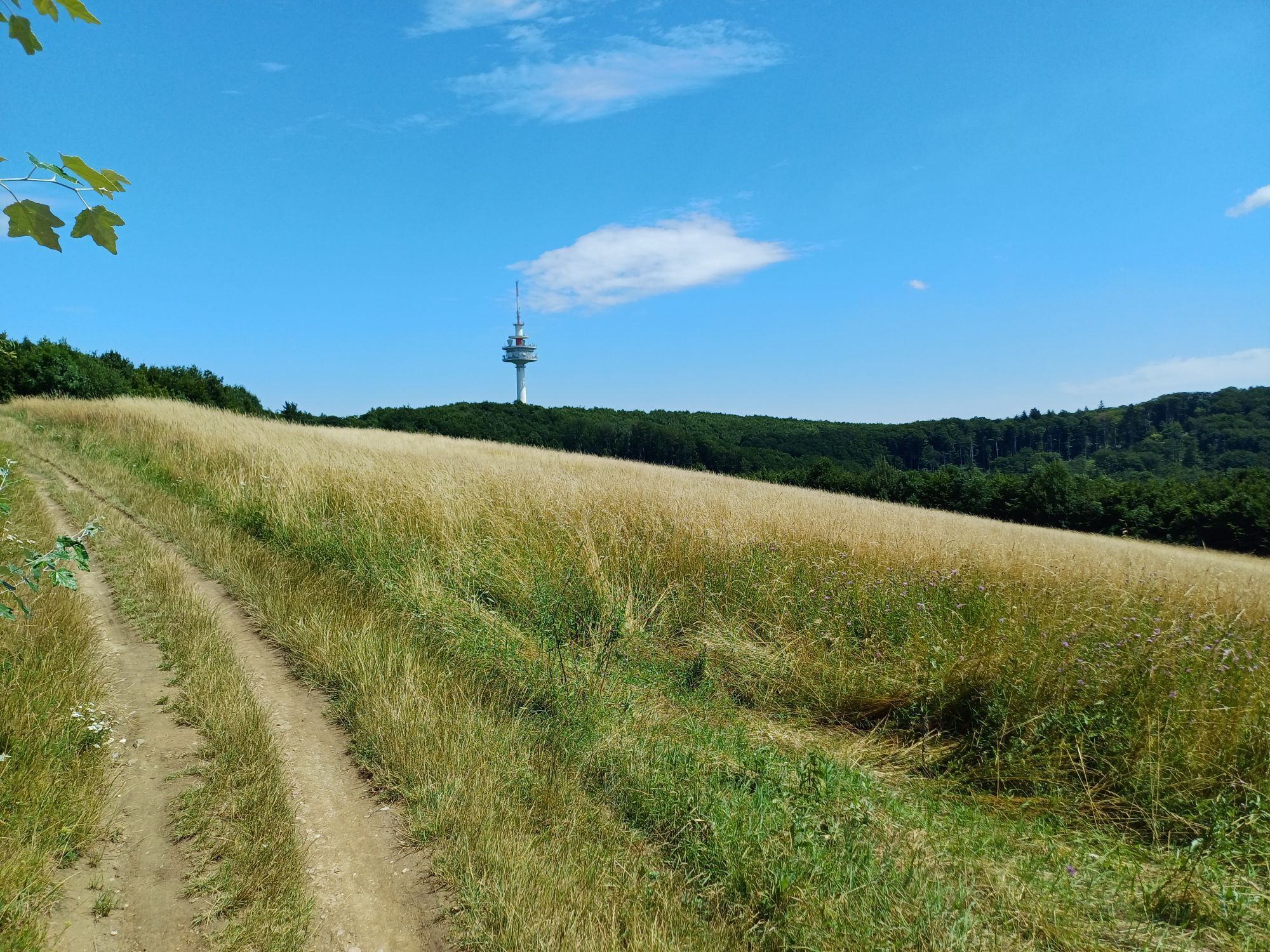
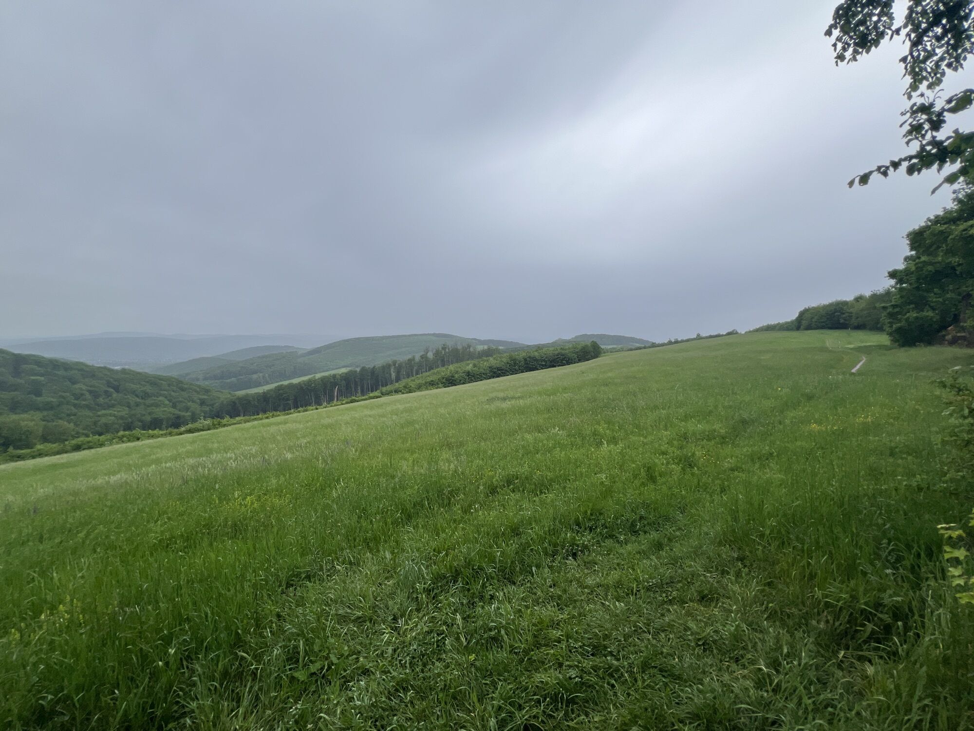
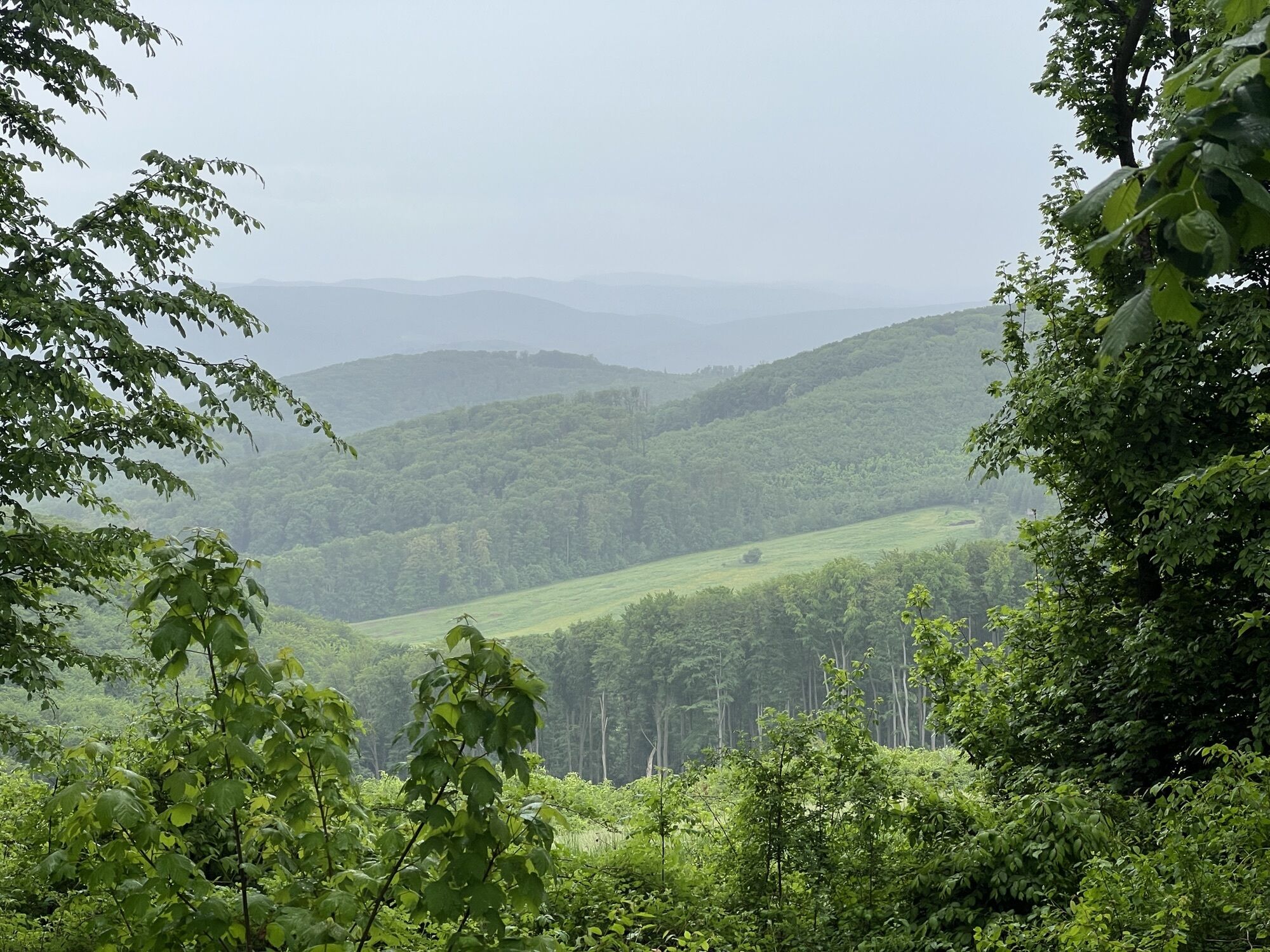
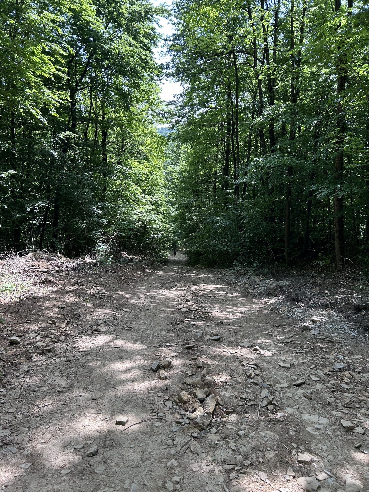
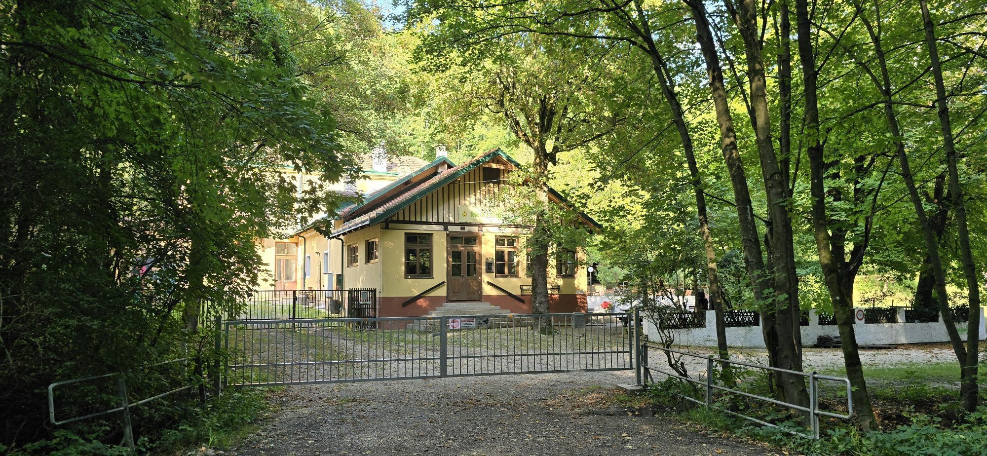
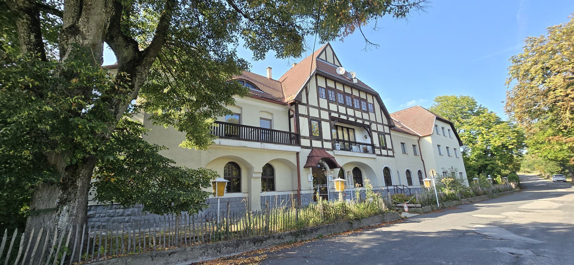
<p>The hike starts at Marswiese (bus stop 43A). Heading east, we turn right at the first opportunity and then again right into the forest. We follow the green marking and reach Schottenhof. Once there, we cross the street and hike towards Riegler Hut (yellow). From there we continue until we reach a fork in the path. Here we keep left and follow the marking to Riegler Hut. Just before crossing a bridge, we turn right and follow the yellow markings to the hut. Now we keep right on the gravel road and reach Sophienalpe via a steep path. Once at the top, we turn right and follow the blue marking to the "Red Cross." We leave the asphalt road to the right and come onto a large meadow where we enjoy a wonderful view over Vienna. We continue along the blue-marked hiking trail, a forest path right next to Tullnerstraße. As soon as the path ends, we cross the street and take the gravel road towards Schwarzenbergpark. Following the main path, we turn right towards Schwarzenbergpark. After a few minutes downhill, we keep left until we come to an asphalt path. Here we turn right and go straight ahead towards Schwarzenbergallee until we finally arrive back at Marswiese.</p>
<p>Despite the most careful research, unforeseen short-, medium-, or even long-term closures (e.g. due to forestry closures by landowners) may occur on the routes. Parking options recommended by us may be private or subject to fees – please pay attention to the signage on site. Some paths may partly or entirely pass through fee-required operations/areas (e.g. nature parks or gorges). However, this is usually explicitly pointed out in the description. All information is provided without guarantee and the use of the paths is at your own risk. Any path closures as well as notices from hunting and landowners must be observed.</p>
<p>By bus to the stop "43A Höhenstraße/Marswiese"</p>
<p>At the Marswiese sports center</p>
Wienerwald Tourismus GmbH
Hauptplatz 11, 3002 Purkersdorf
Tel.: 02231/62176
E-Mail: office@wienerwald.info
Website: www.wienerwald.info
Refreshment options along the route
Klee am HanslteichManameiereiZur AlleeSophienalpeRiegler HutUpdated on: 05.11.2020
Priljubljeni izleti v okolici
-
4.8
Stadtwanderweg 1
svetlobaPohodništvo 11.1 km -
4.8
Stadtwanderweg #2, Hermannskogel, Top of Vienna 😆
svetlobaPohodništvo 11.1 km -
4.8
Stadtwanderweg 1a - Leopoldsberg / lt. Beschilderung
srednjaPohodništvo 10.2 km -
4.7
Königstetten-Figlwarte-Hainbuch-Königstetten
srednjaPohodništvo 9.30 km -
4.6
Nasenweg Leopoldsberg Rundweg
srednjaPohodništvo 4.08 km -
4.6
Abend/Nachtwanderung Teufelstein
svetlobaPohodništvo 7.15 km -
4.6
Stadtwanderweg 6 / Zugberg - Maurer Wald (lt. Beschilderung)
svetlobaPohodništvo 13.3 km -
4.6
Stadtwanderweg 7 - Laaer Berg / lt. Beschilderung
svetlobaPohodništvo 14.2 km -
4.6
Stadtwanderweg 4
svetlobaPohodništvo 8.48 km -
4.6
Rundwanderung Gablitz Gemeindeamt - Troppberg - Rabenstein - Gablitz Gemeindeamt
svetlobaPohodništvo 12 km
Pohodništvo in sledenje


Ne zamudite ponudb in navdiha za naslednje počitnice
Vaš e-poštni naslov je bil dodan na poštni seznam.





