


Hike to the Kienthaler Hut (from the Weichtalhaus)
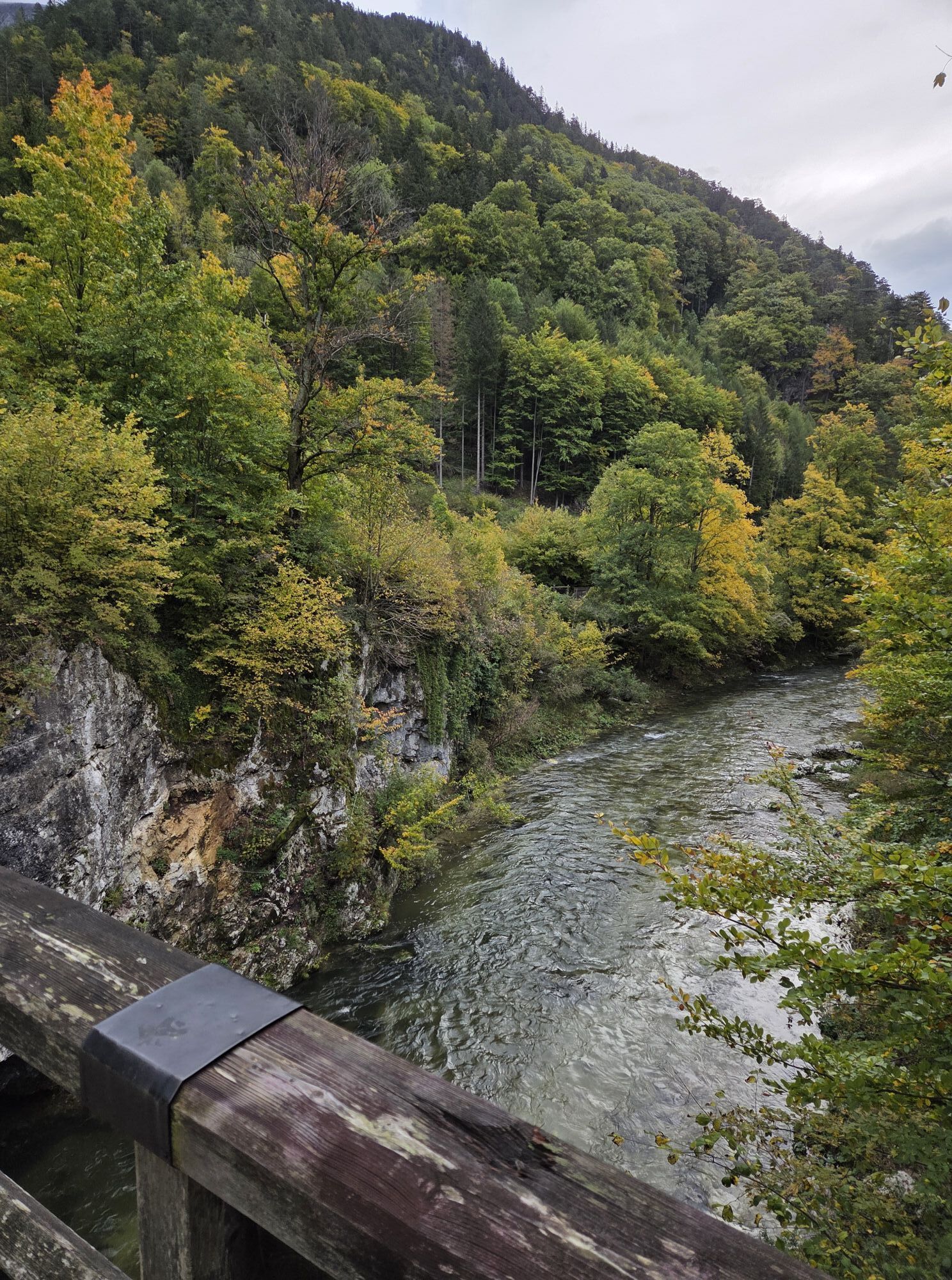
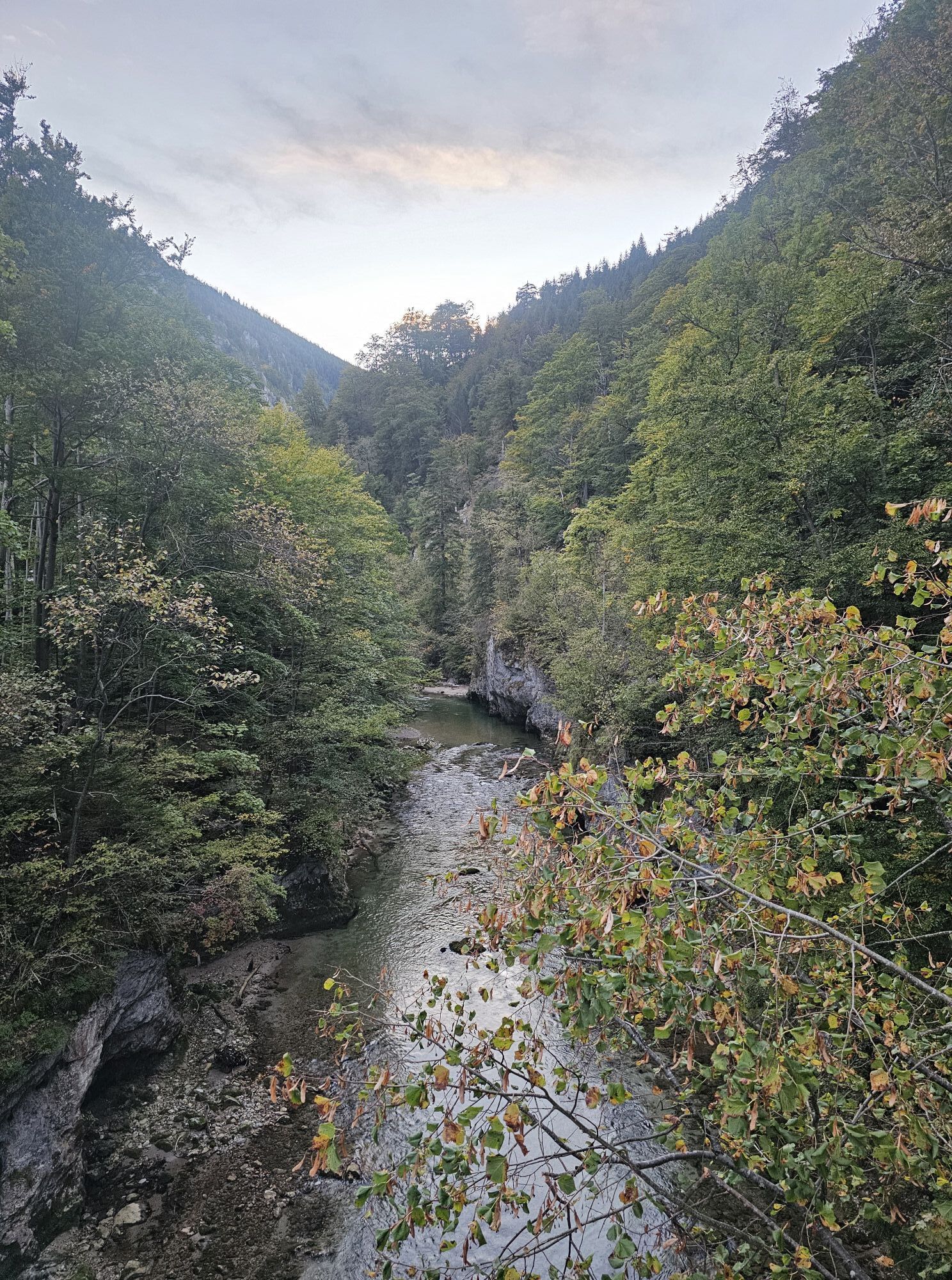
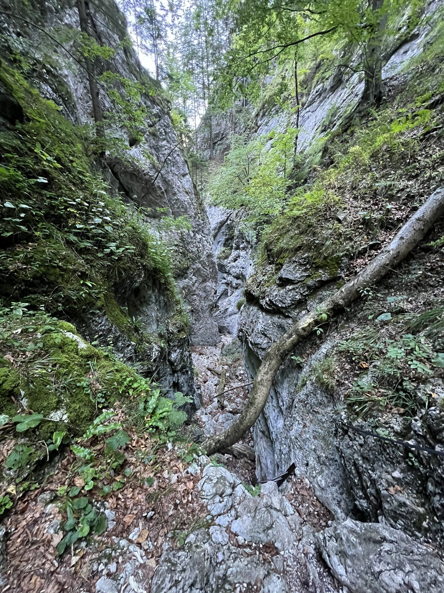
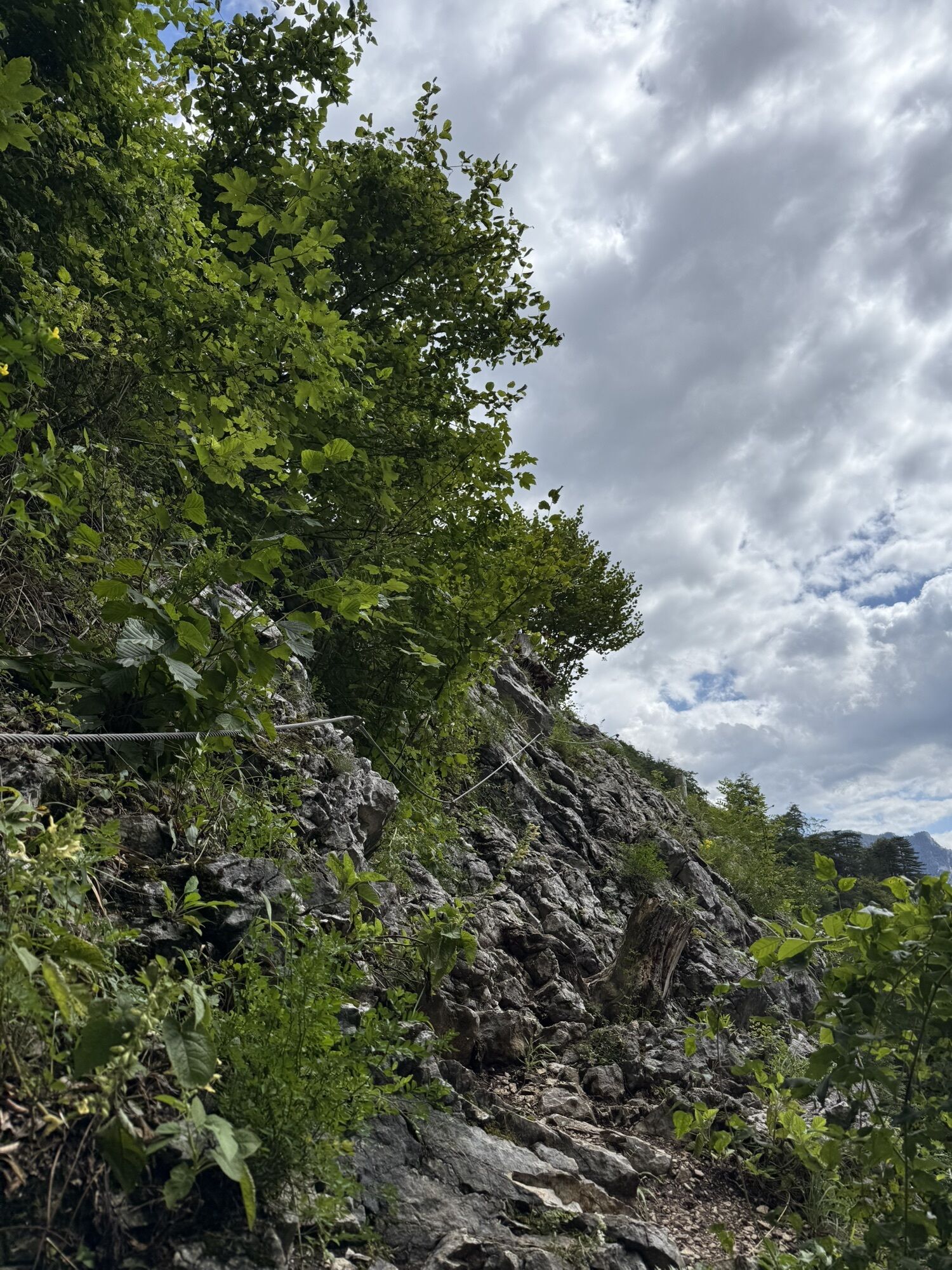
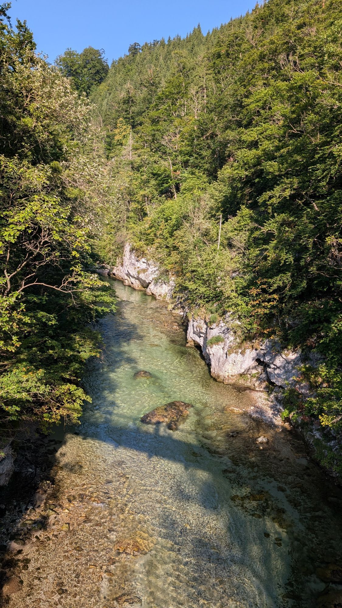
From the Weichtalhaus in the Höllental, you can reach the Kienthaler Hut either via the via ferrata through the Weichtalklamm - sure-footedness is absolutely necessary here! The more pleasant route runs...
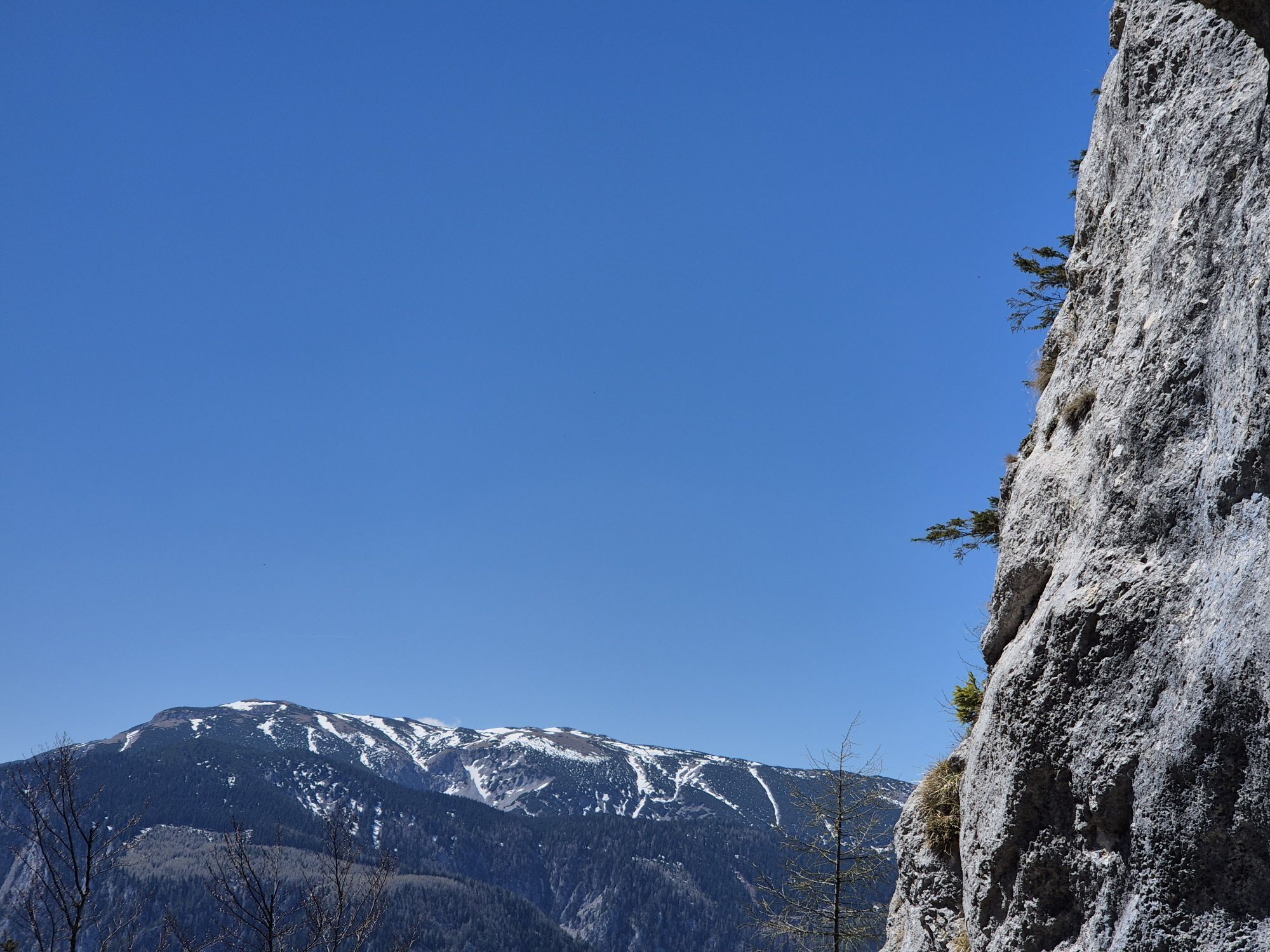
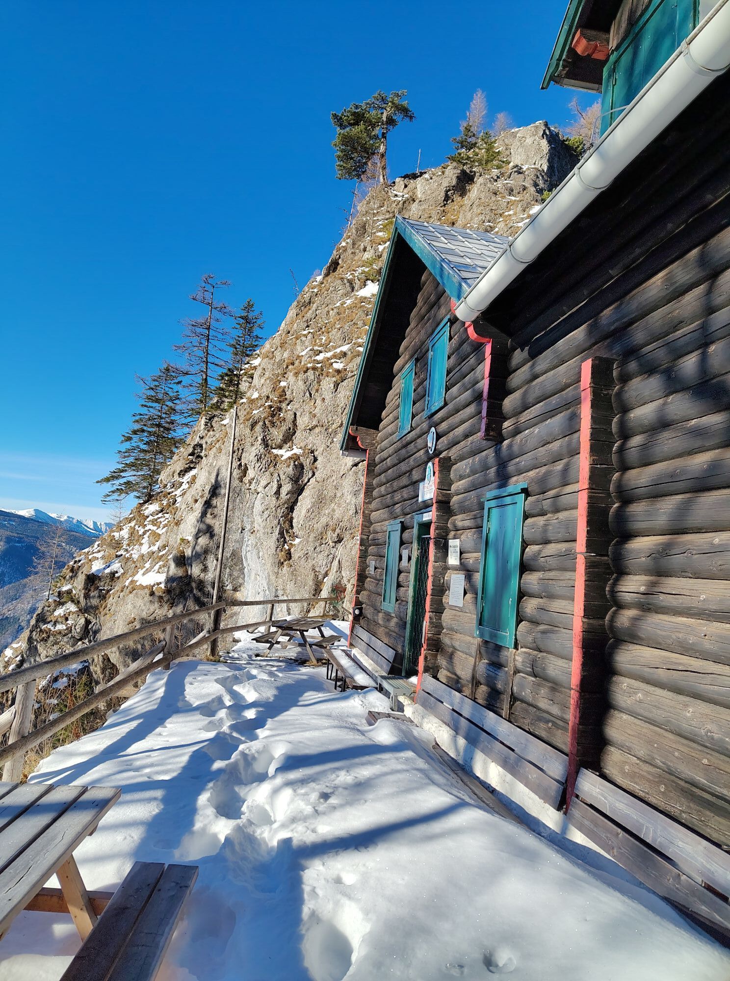
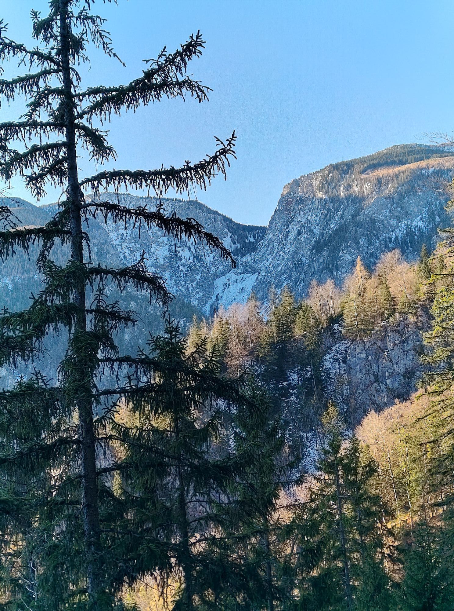
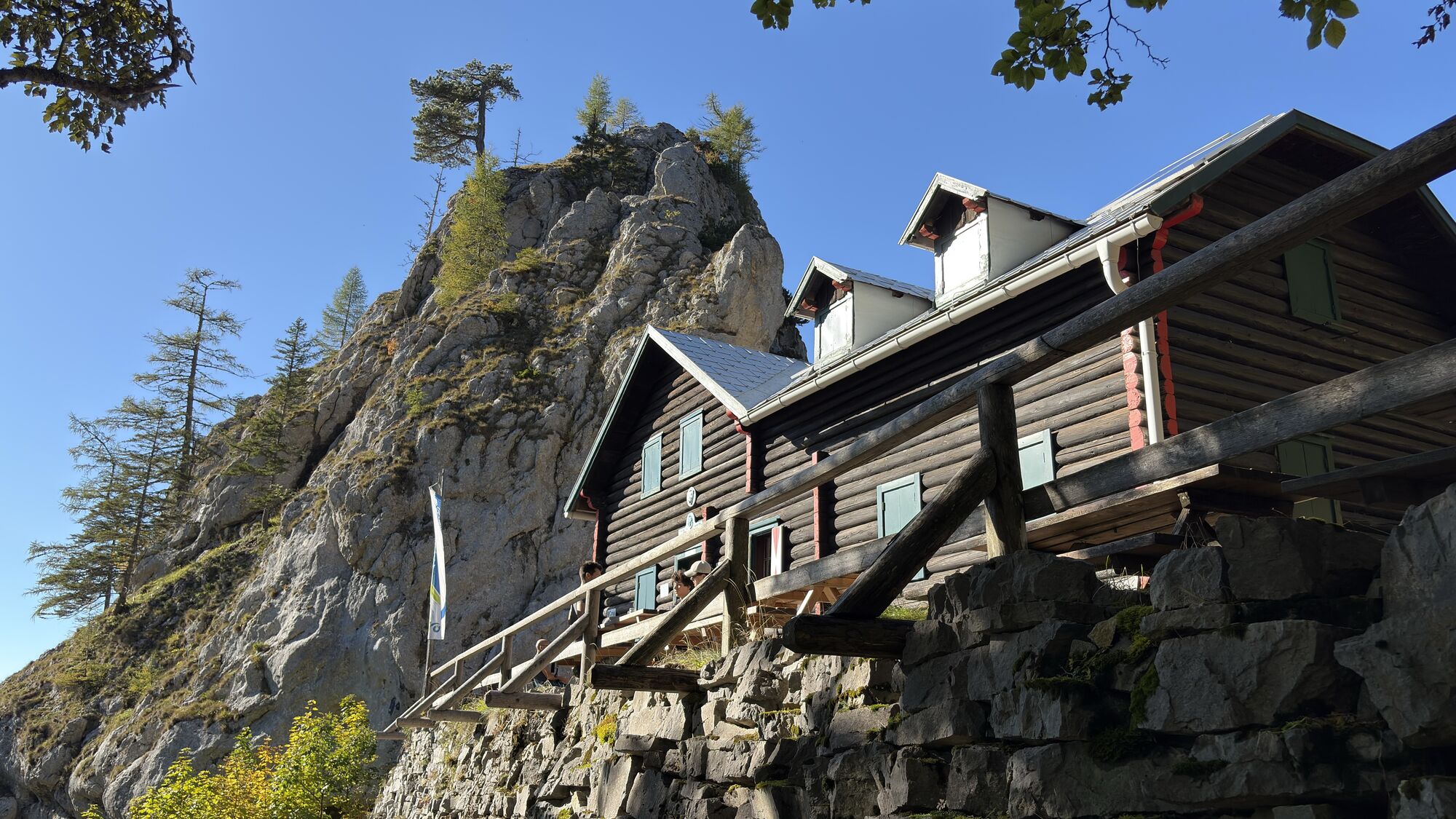
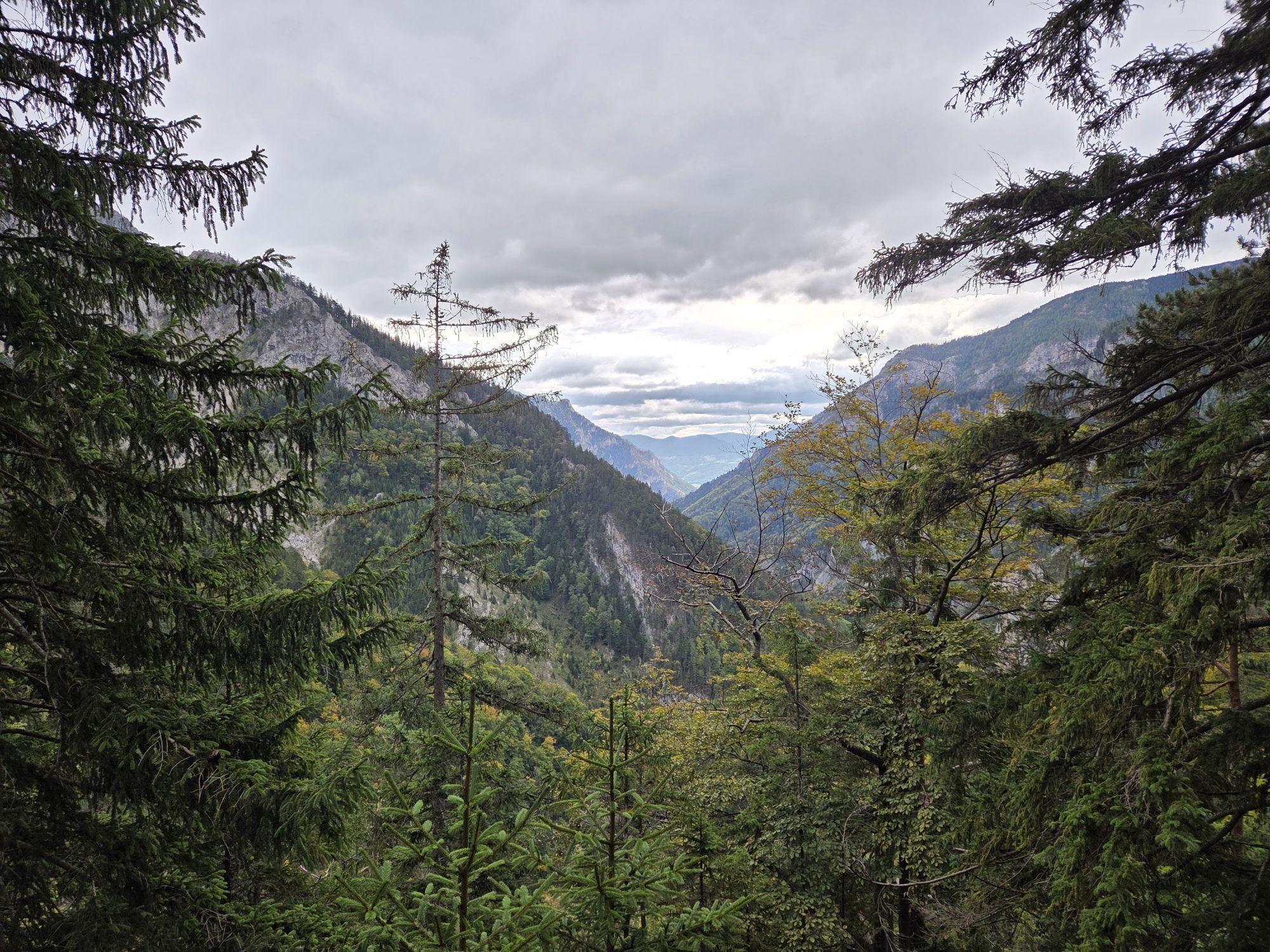
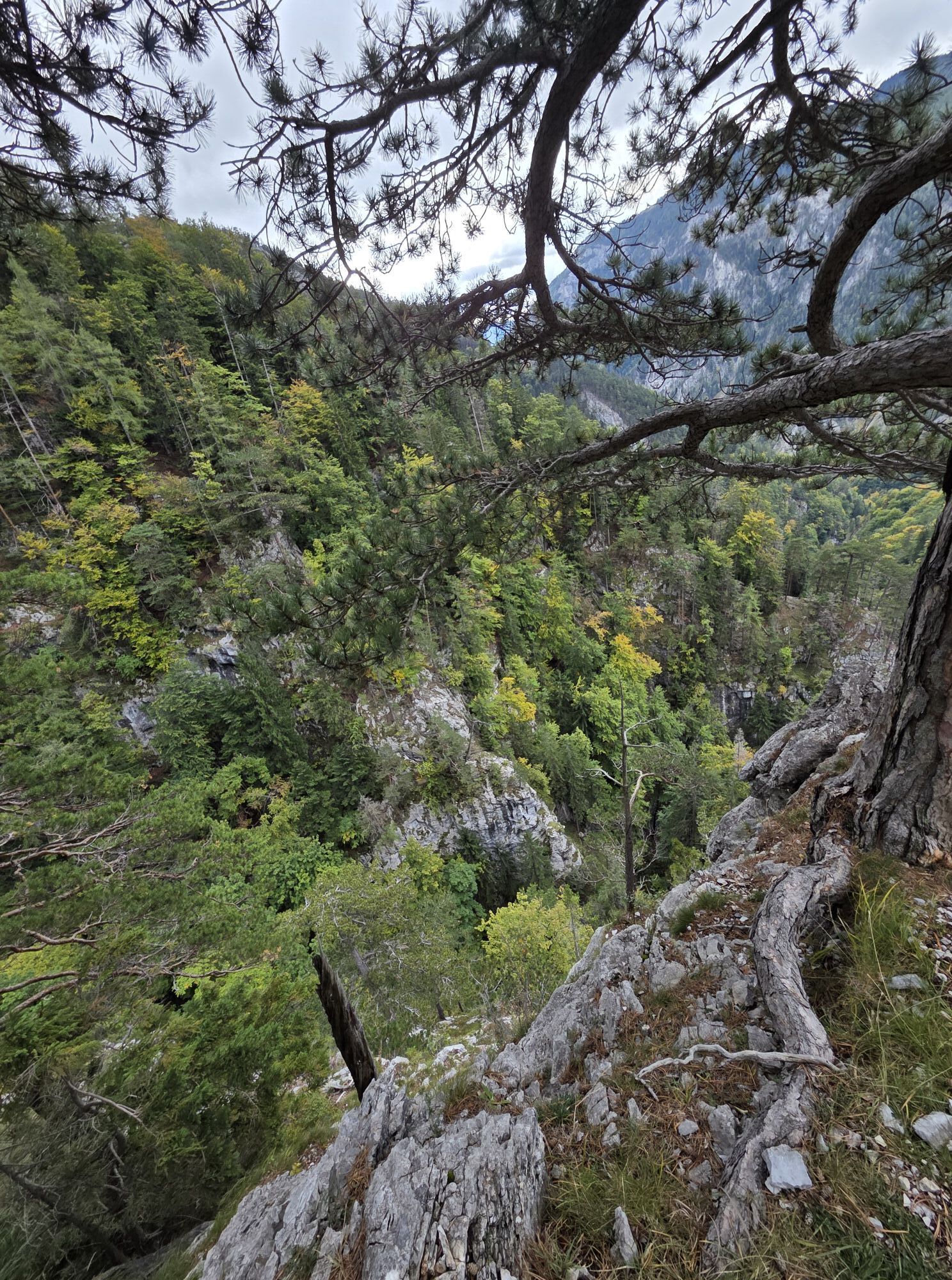
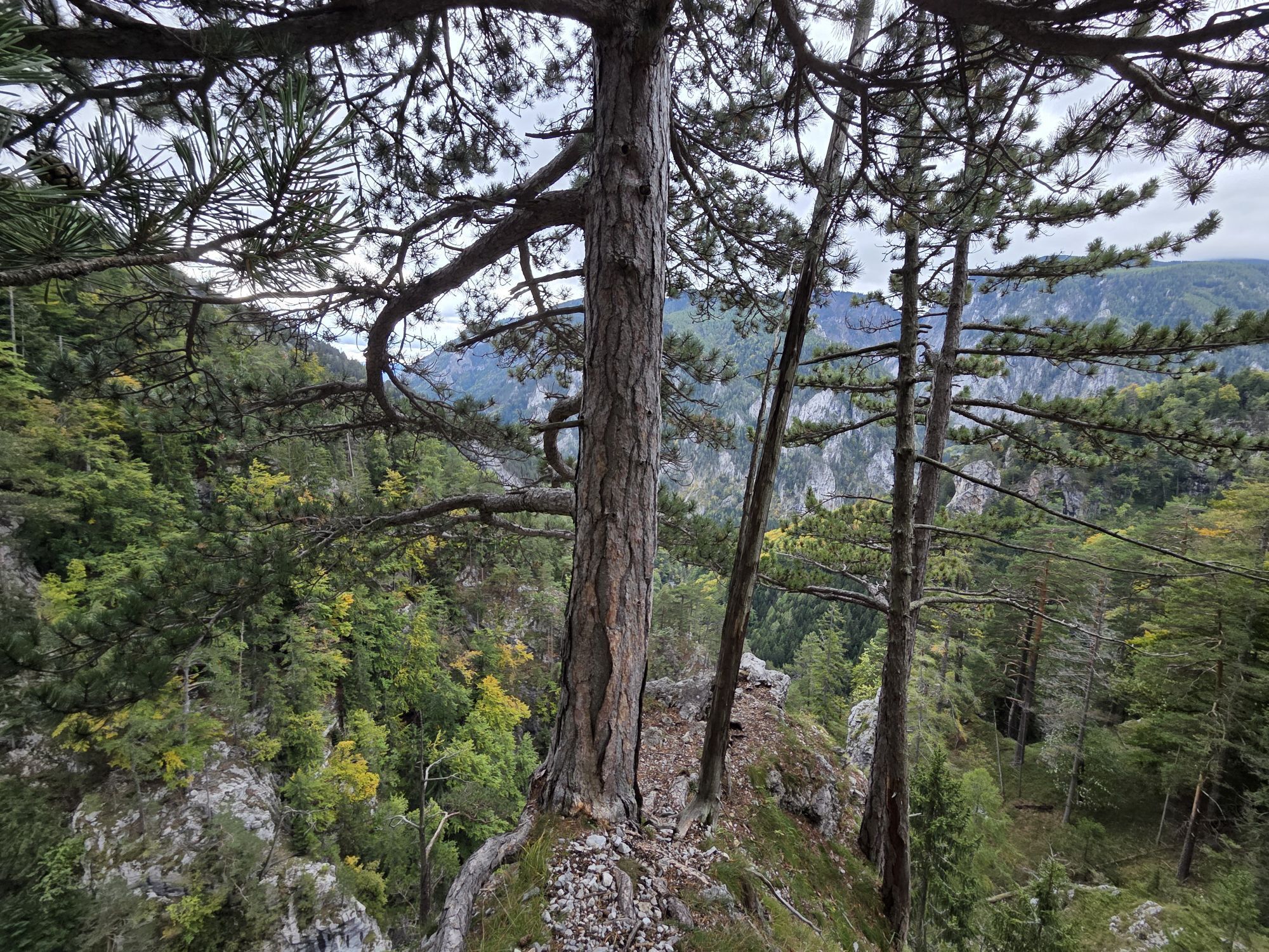
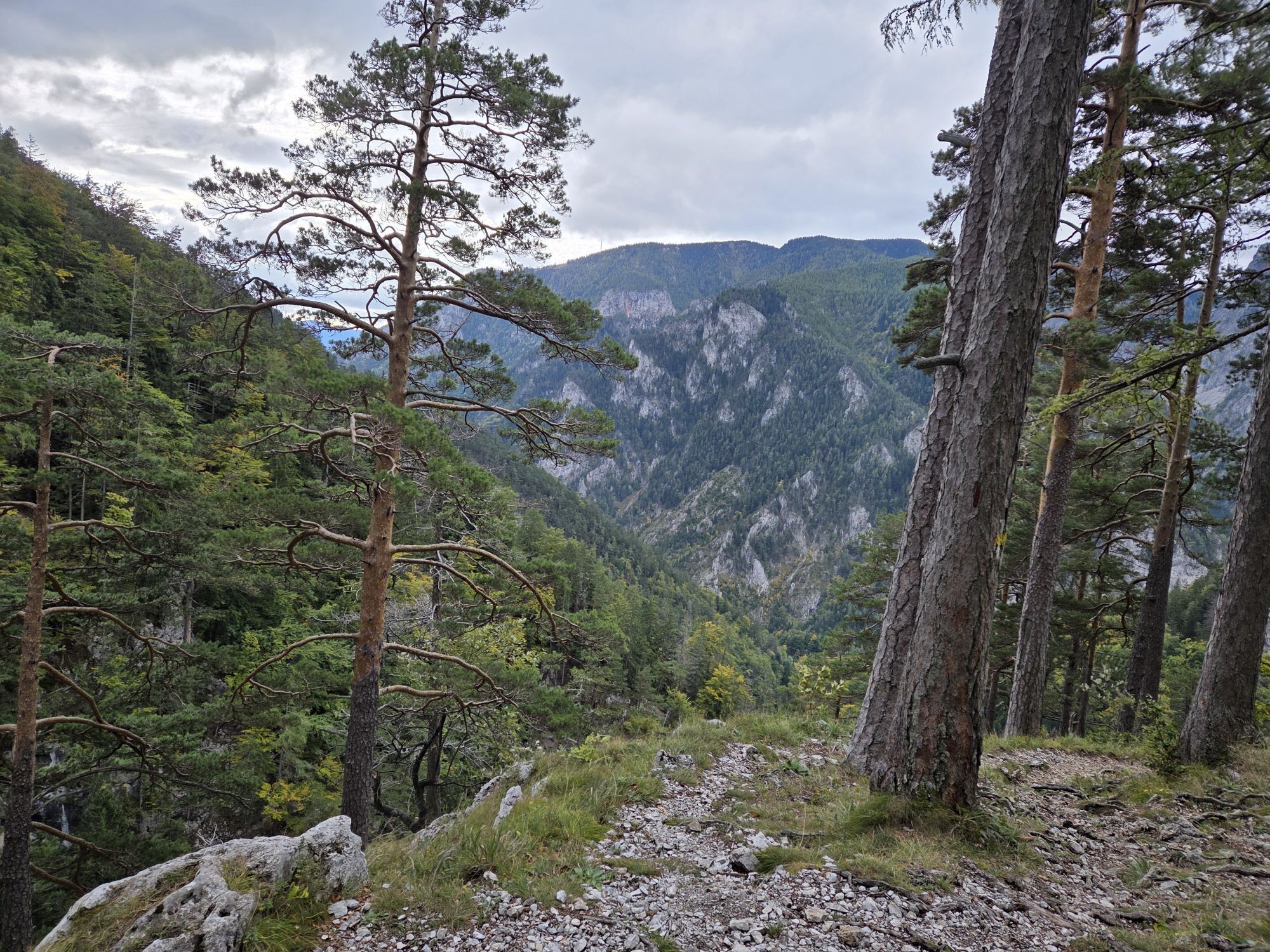
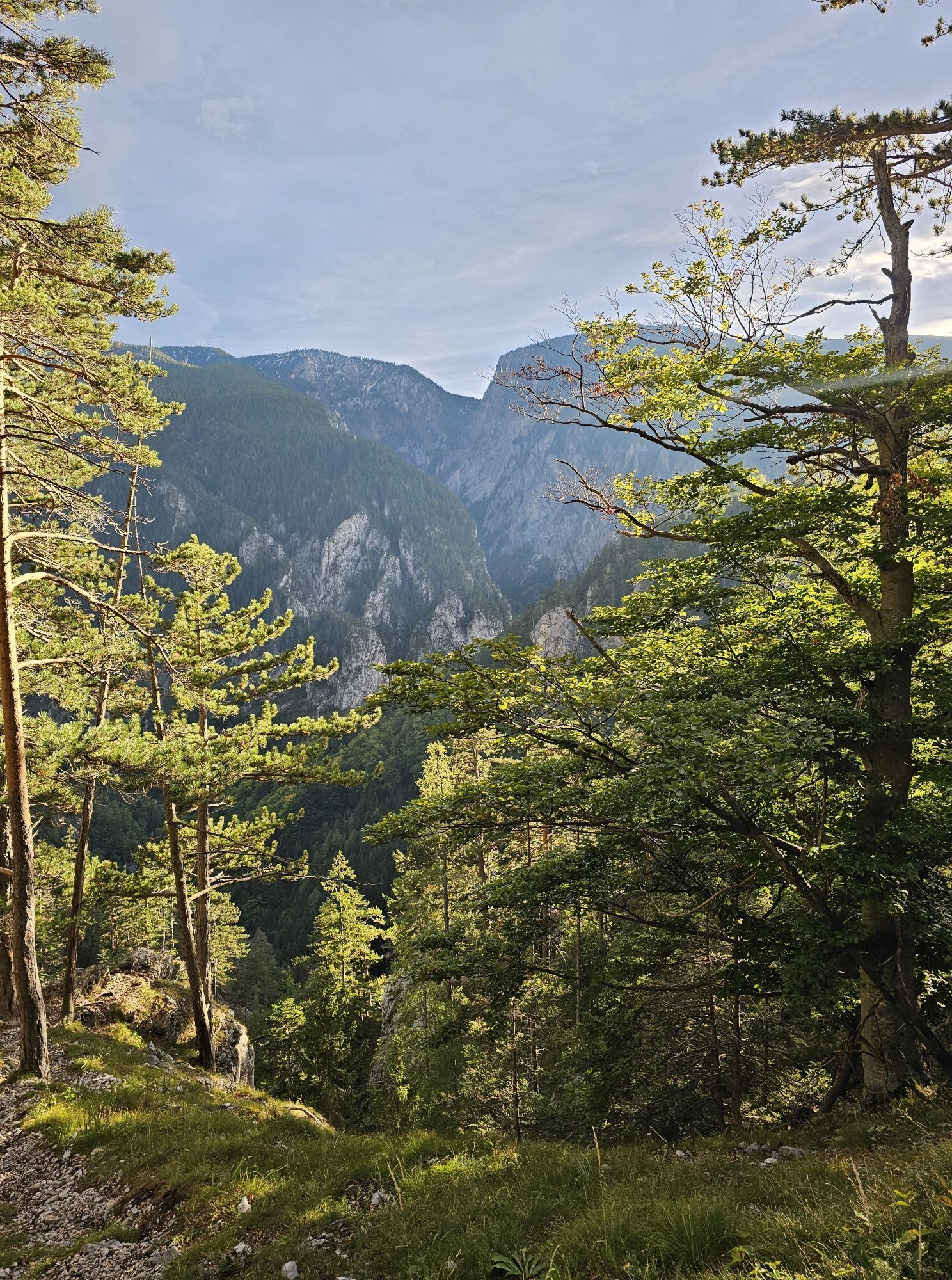
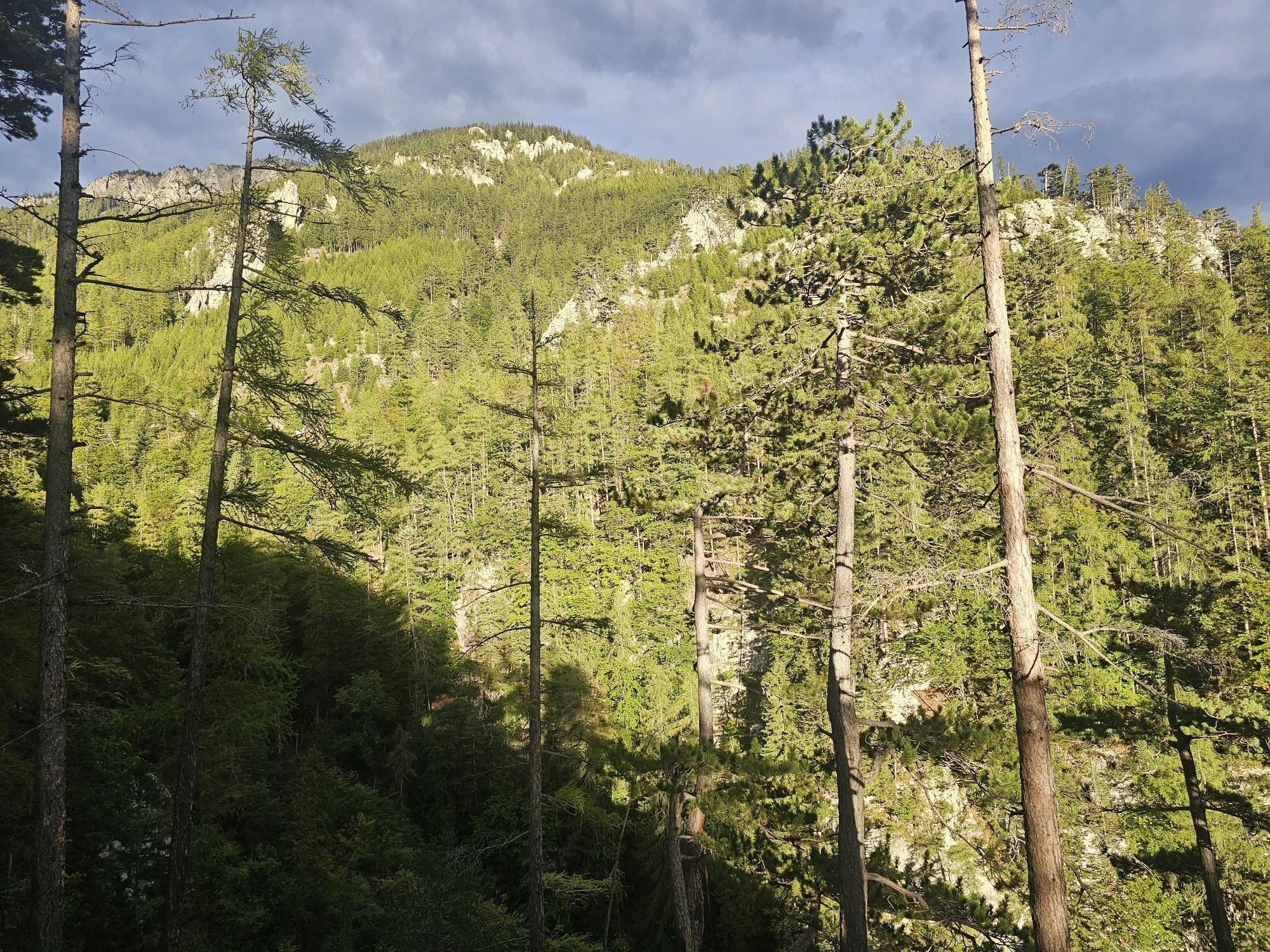
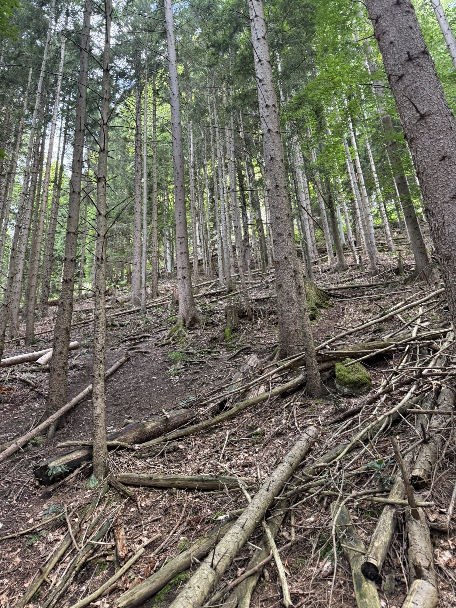
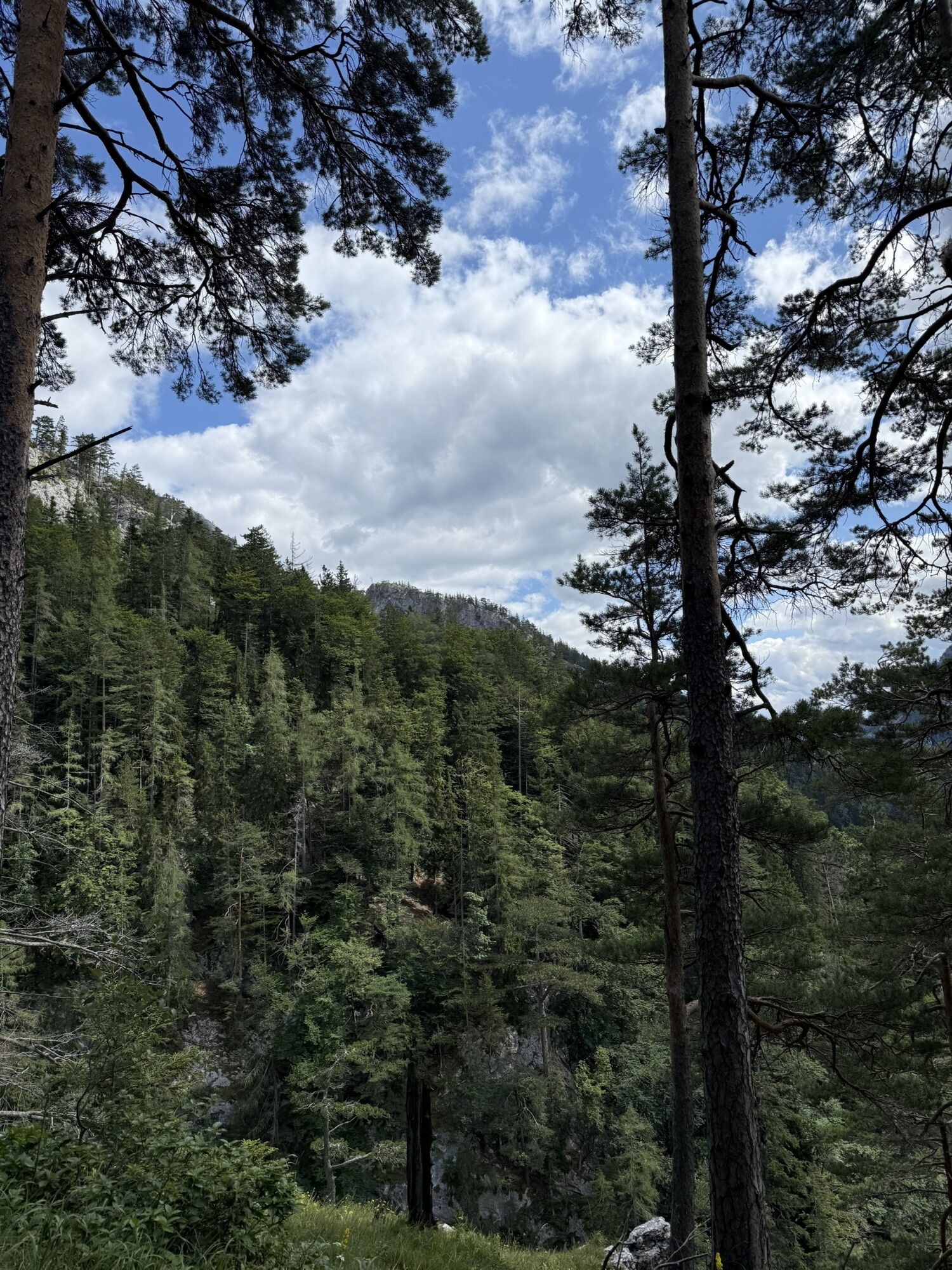
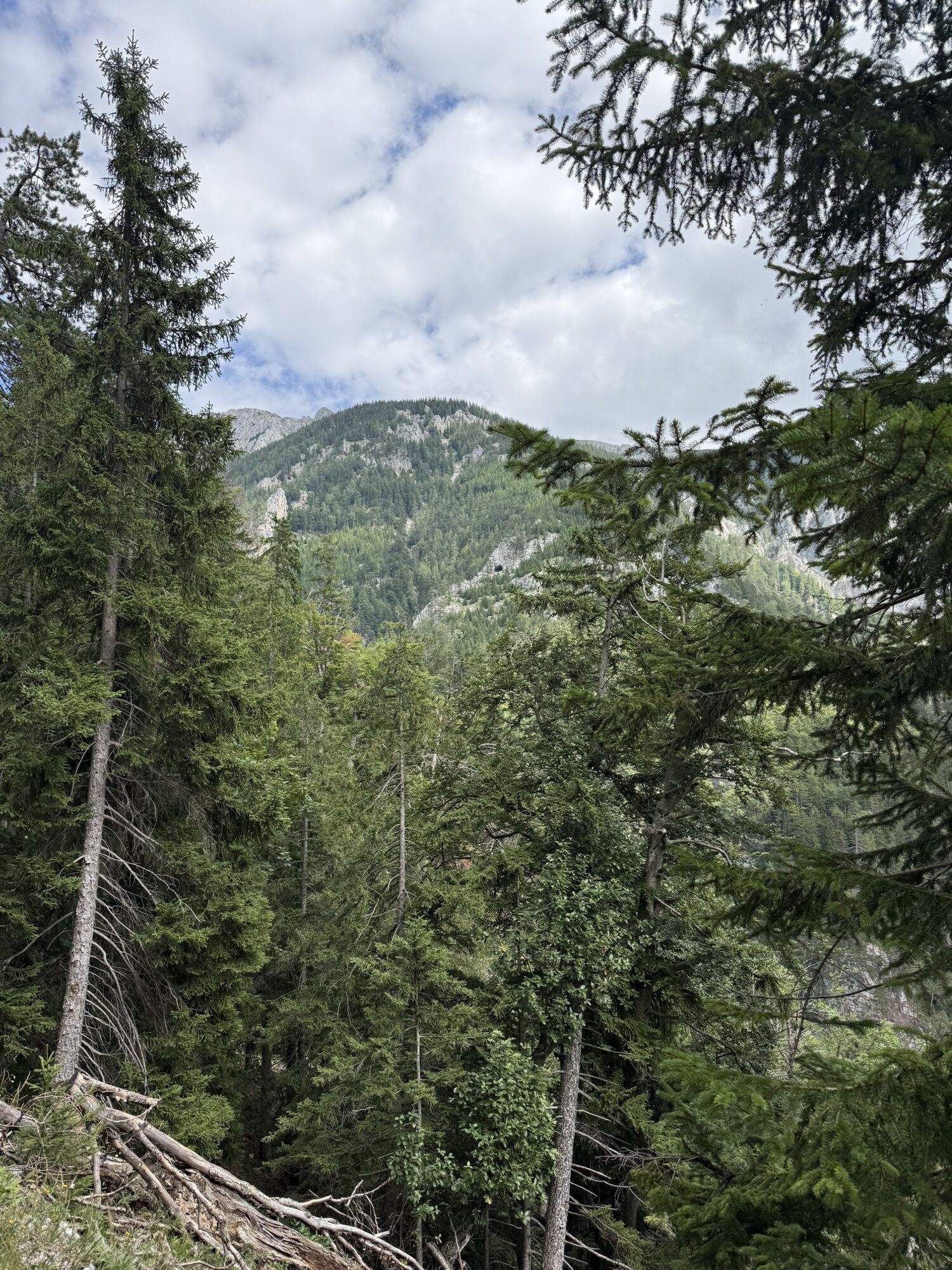
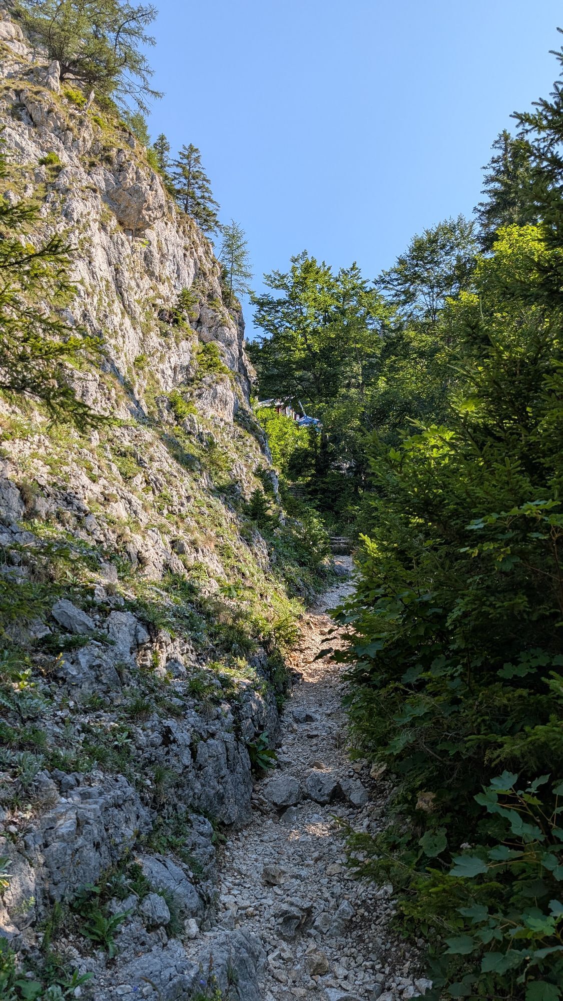
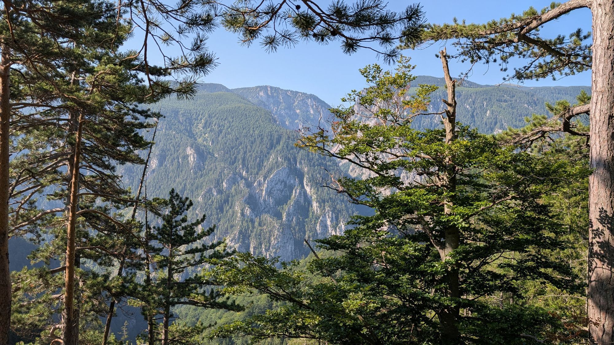
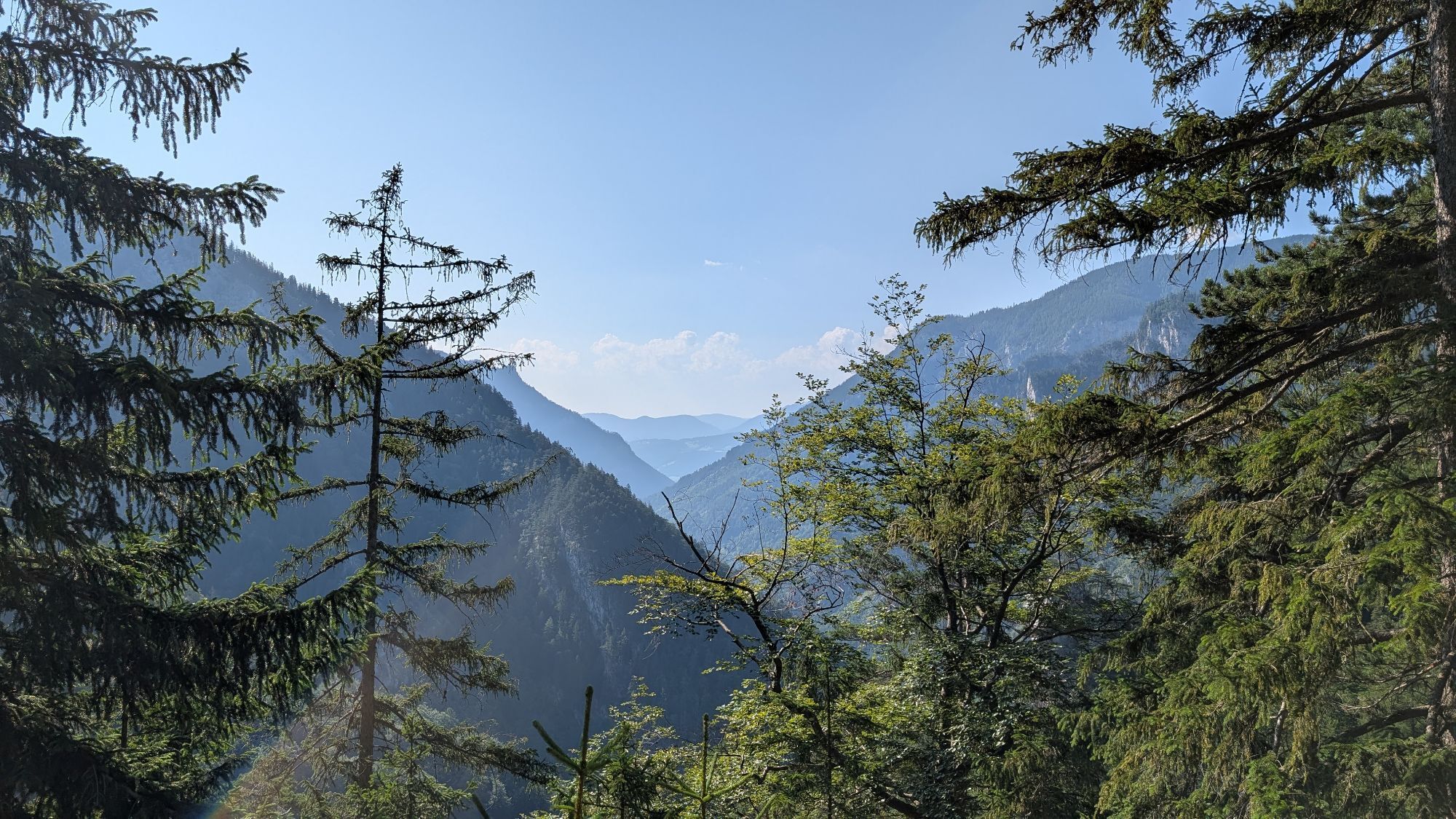
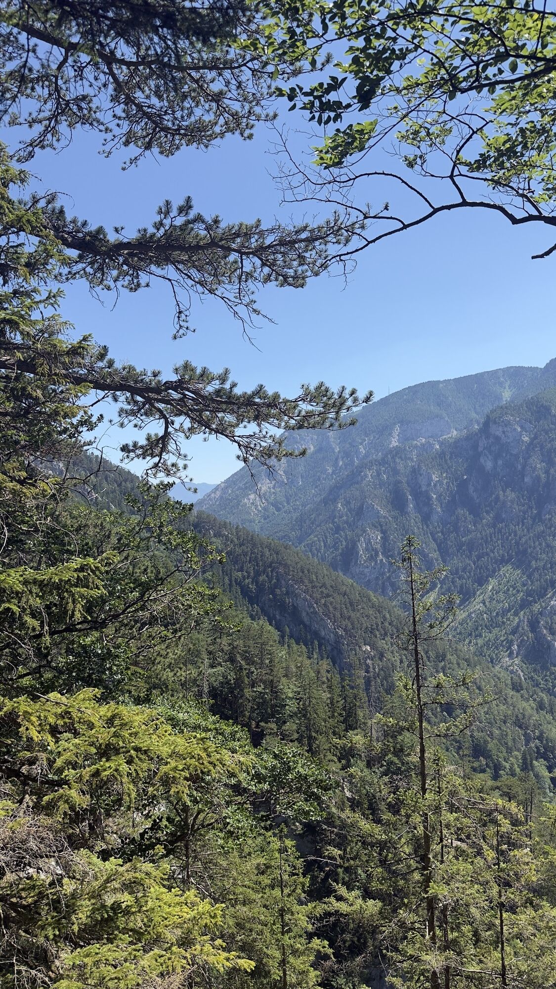
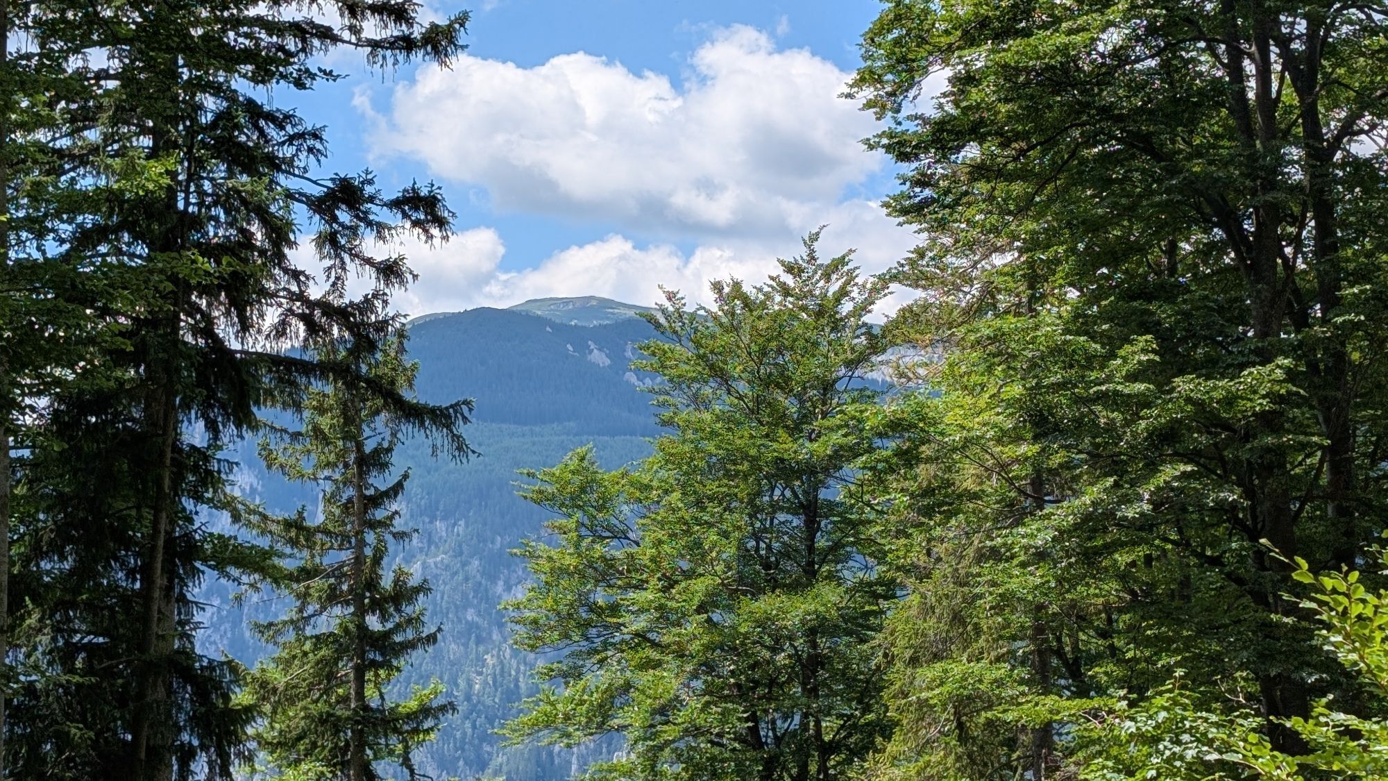
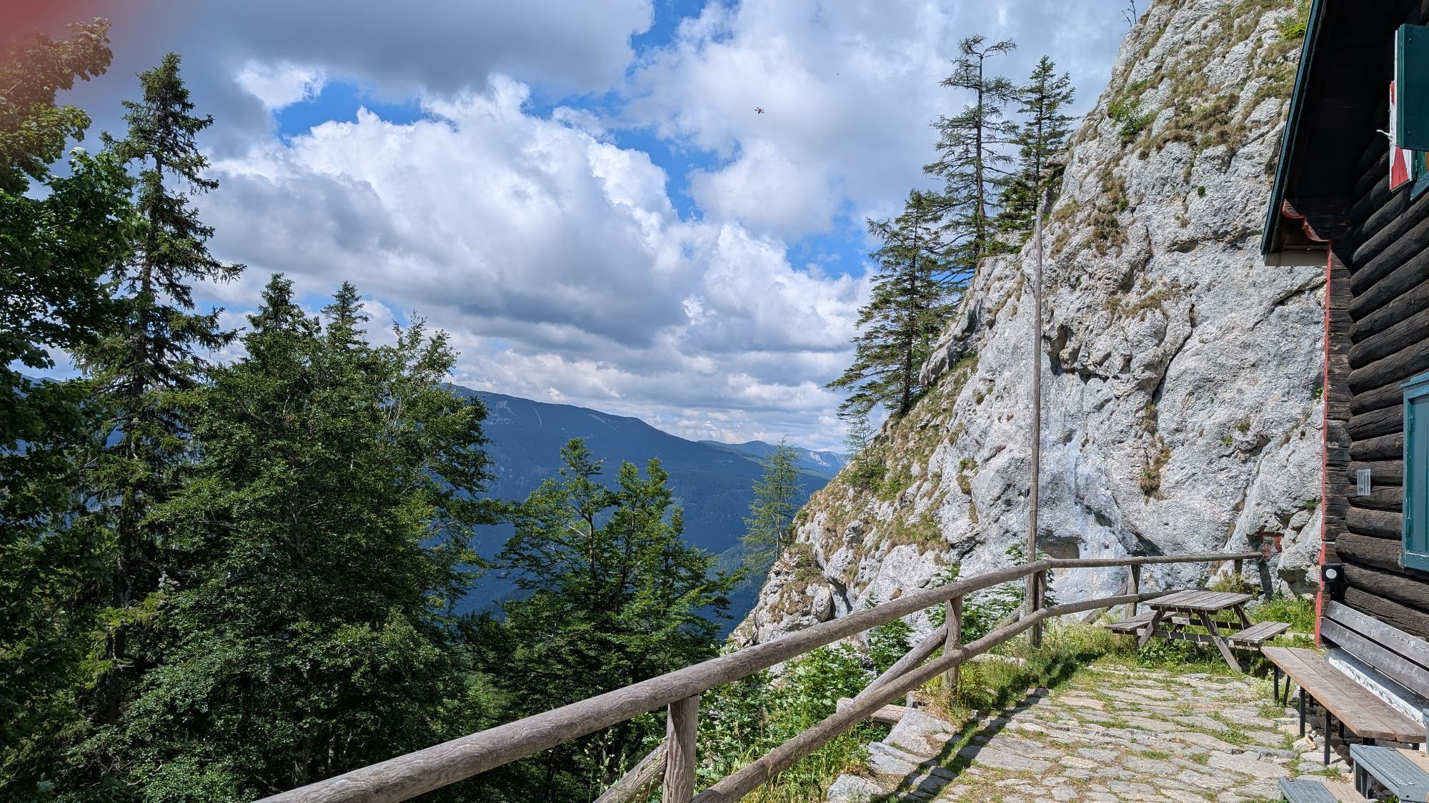
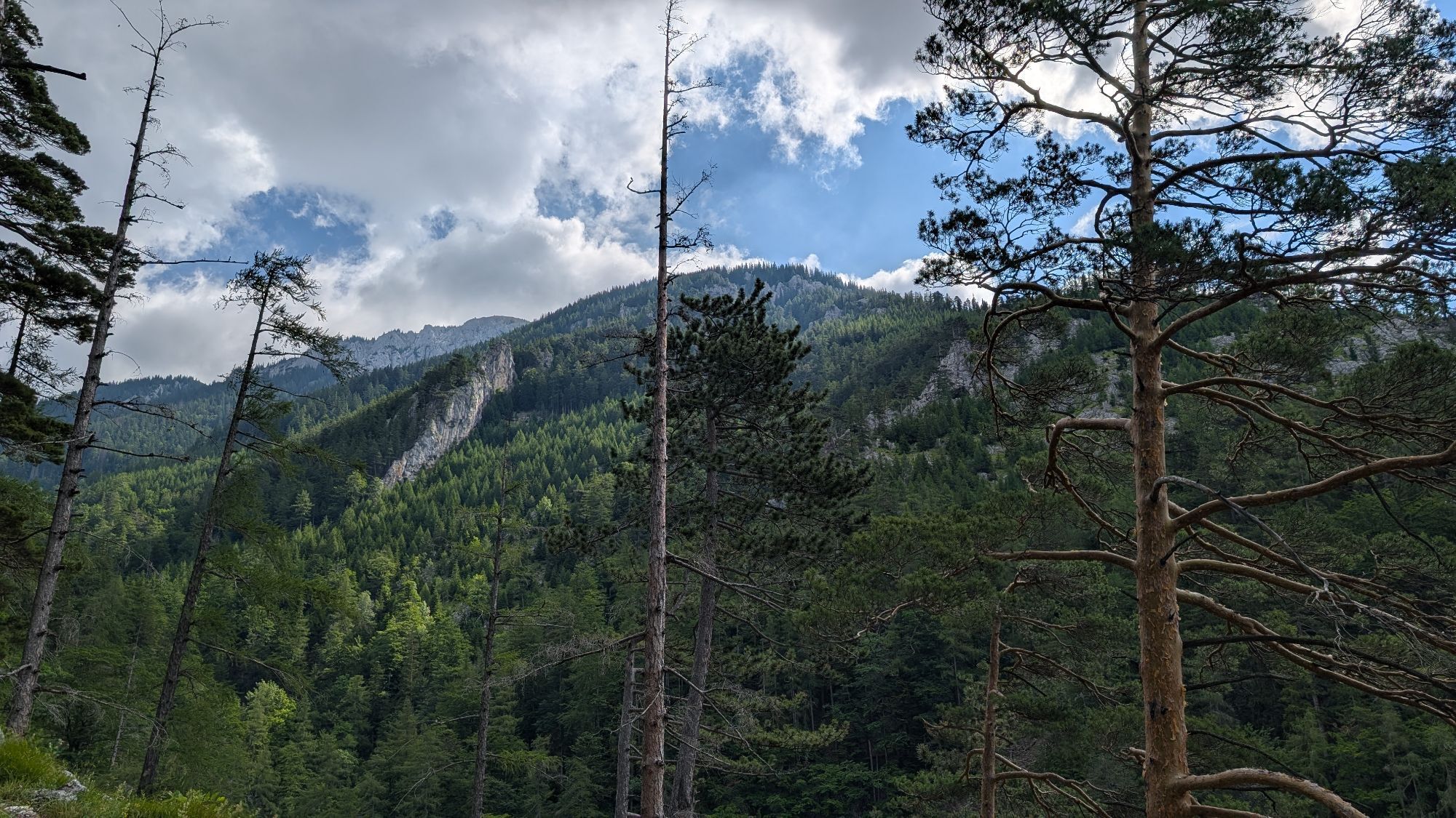
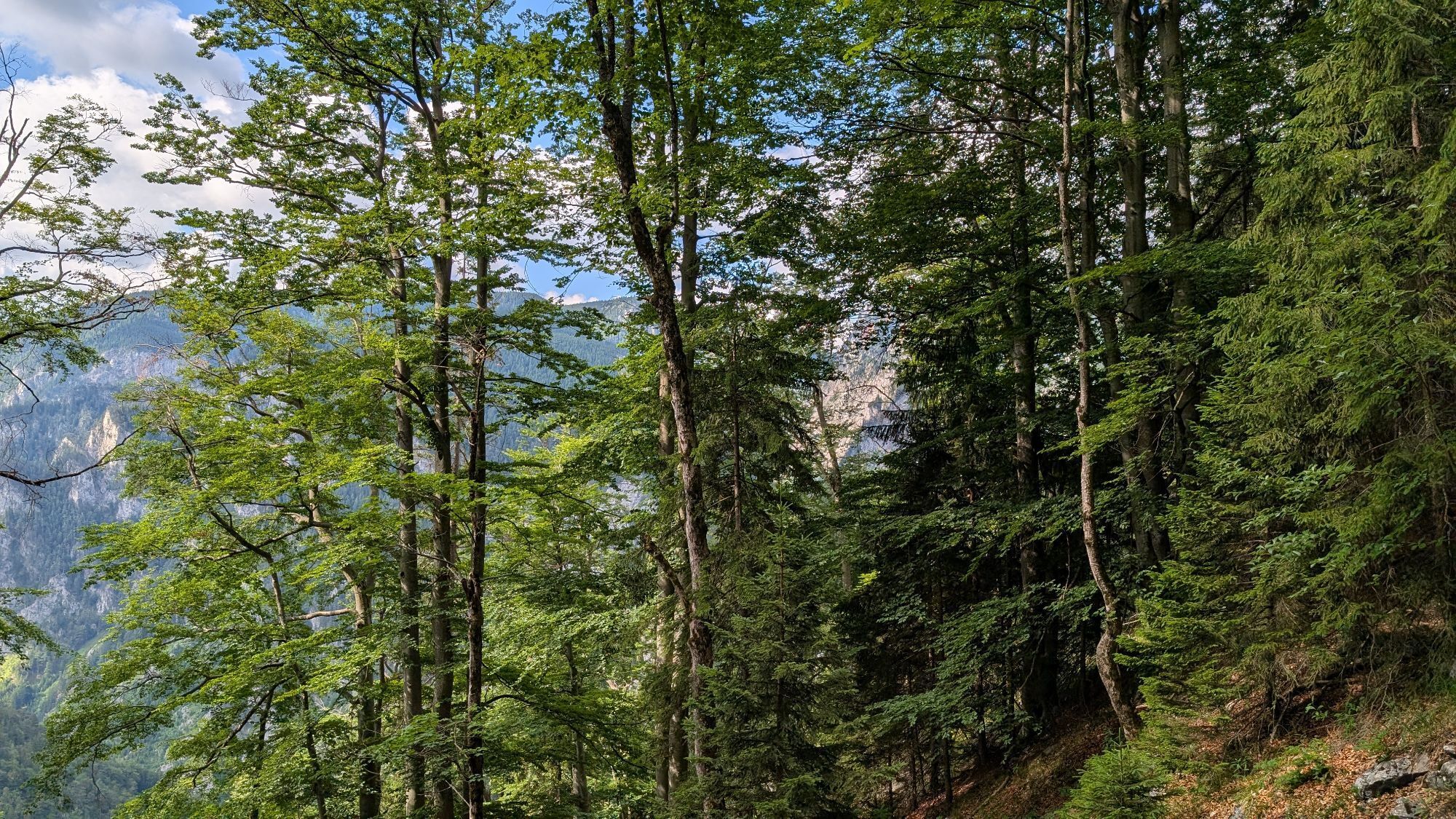
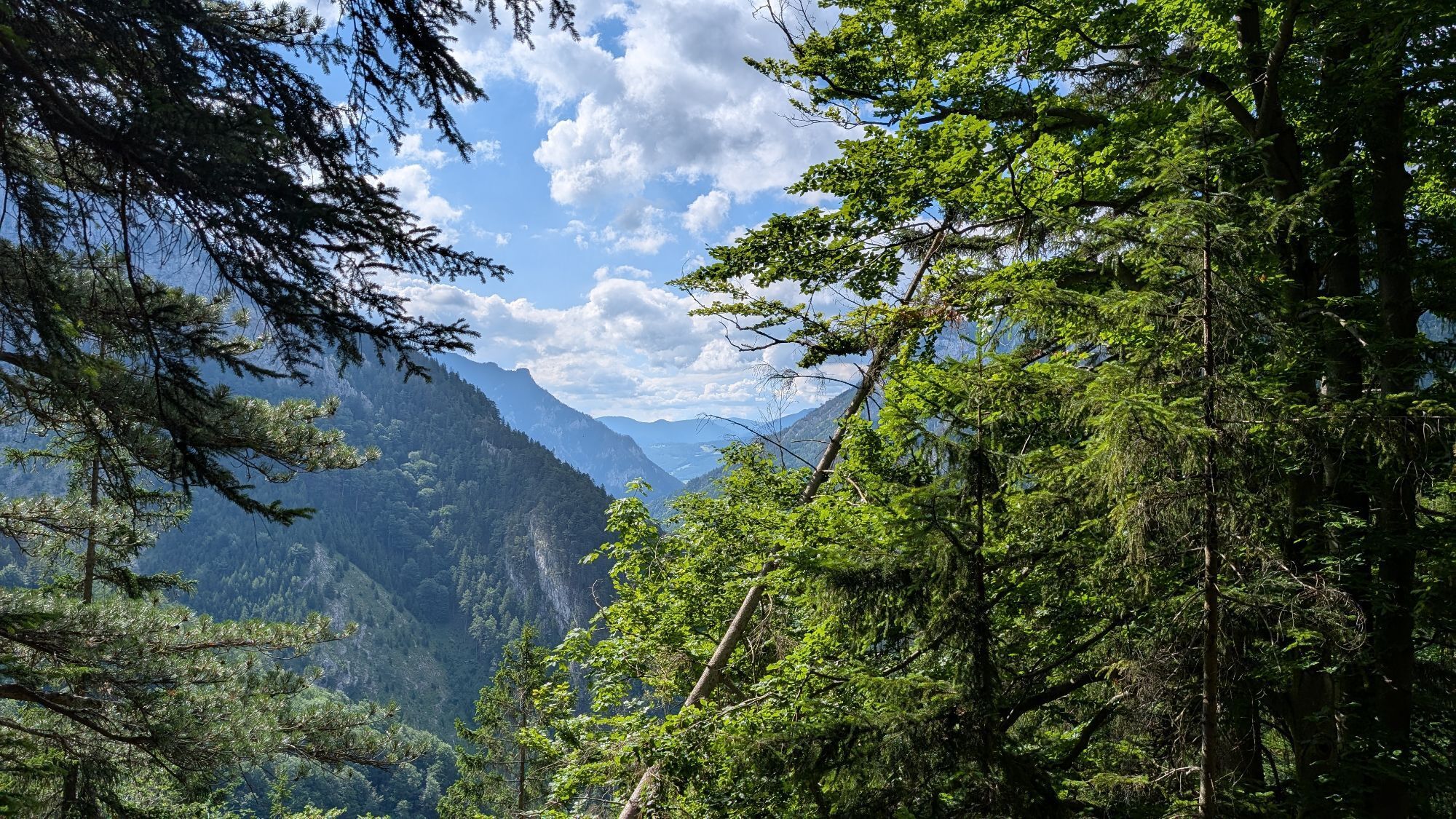
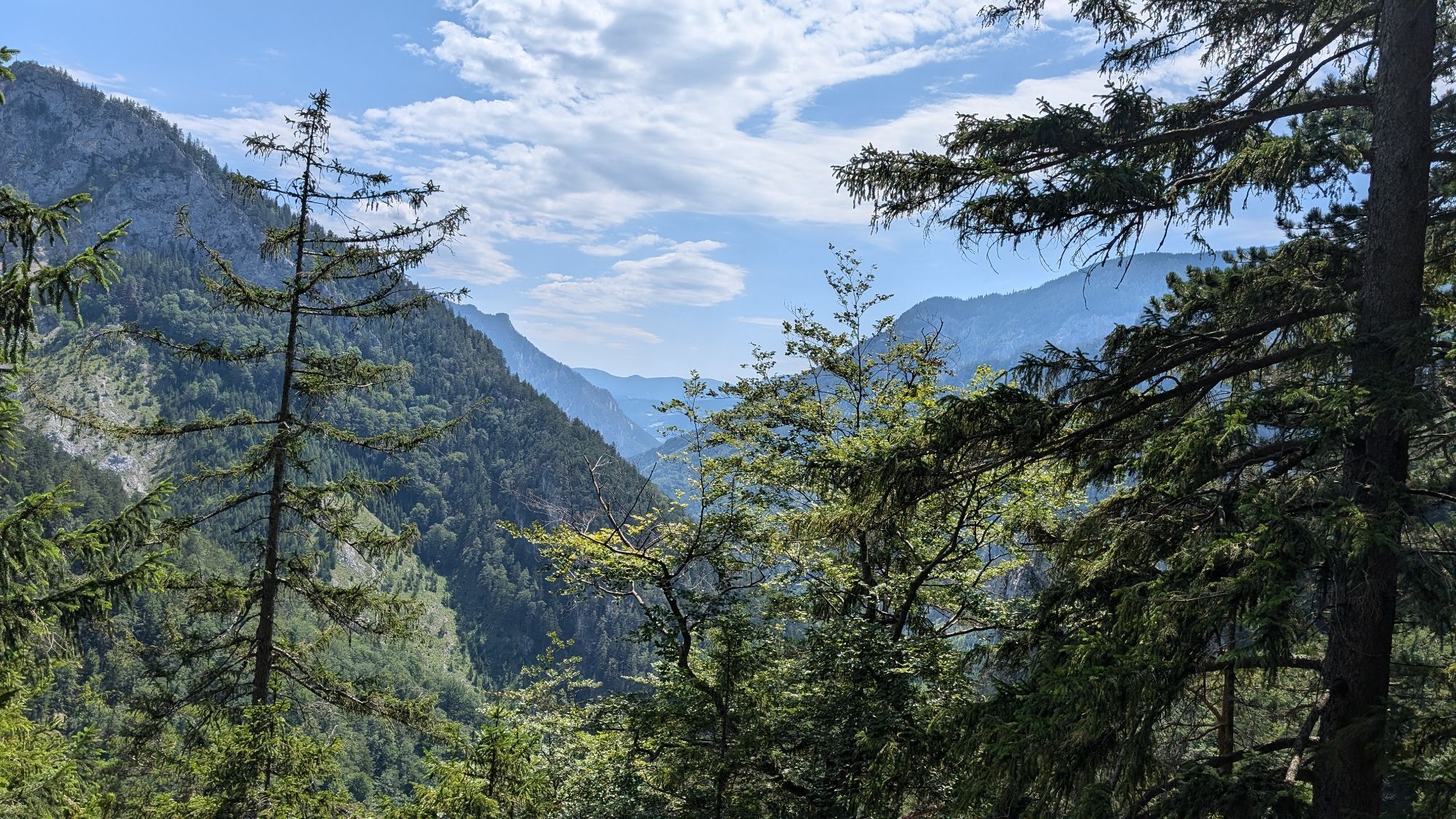
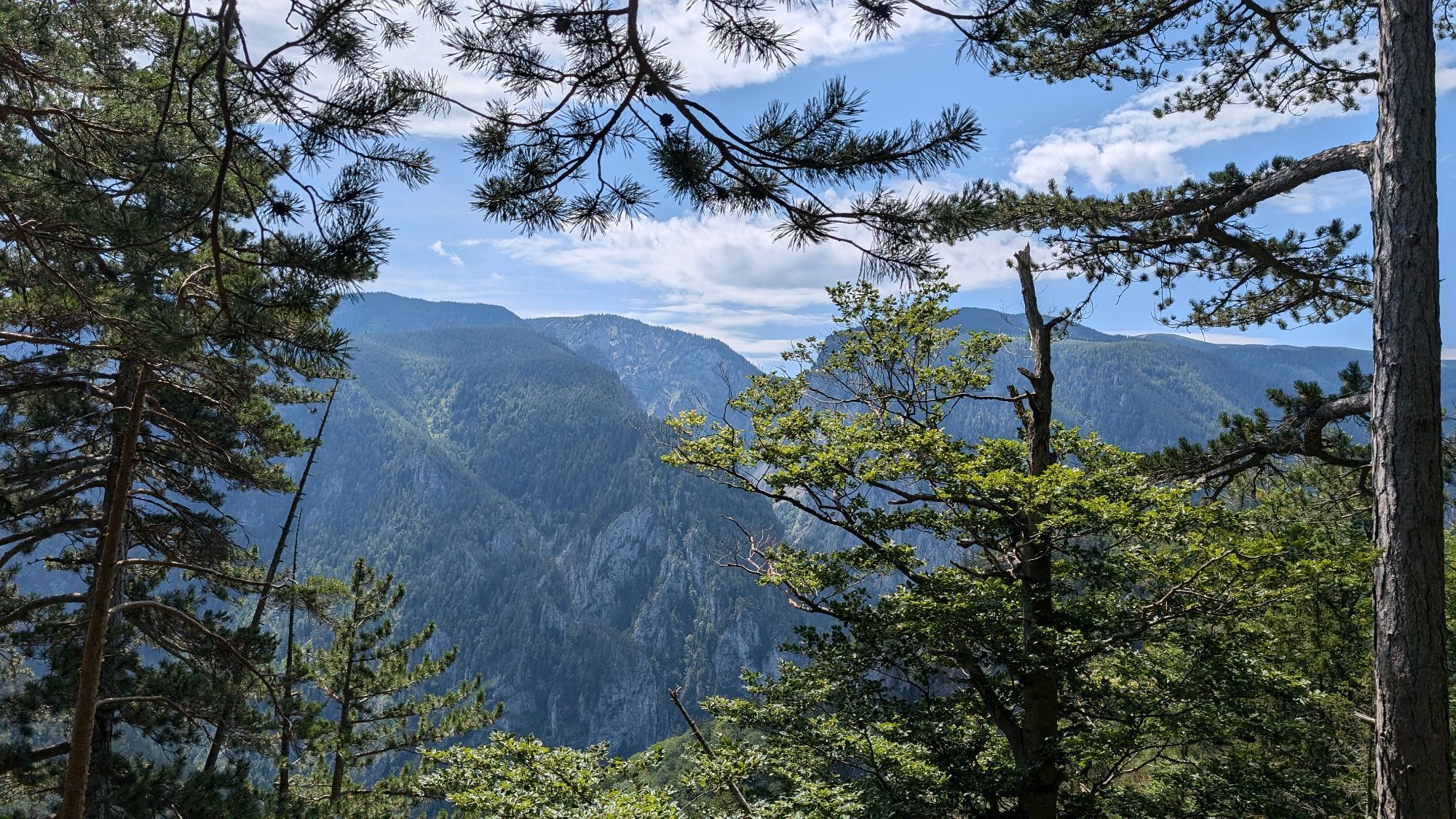
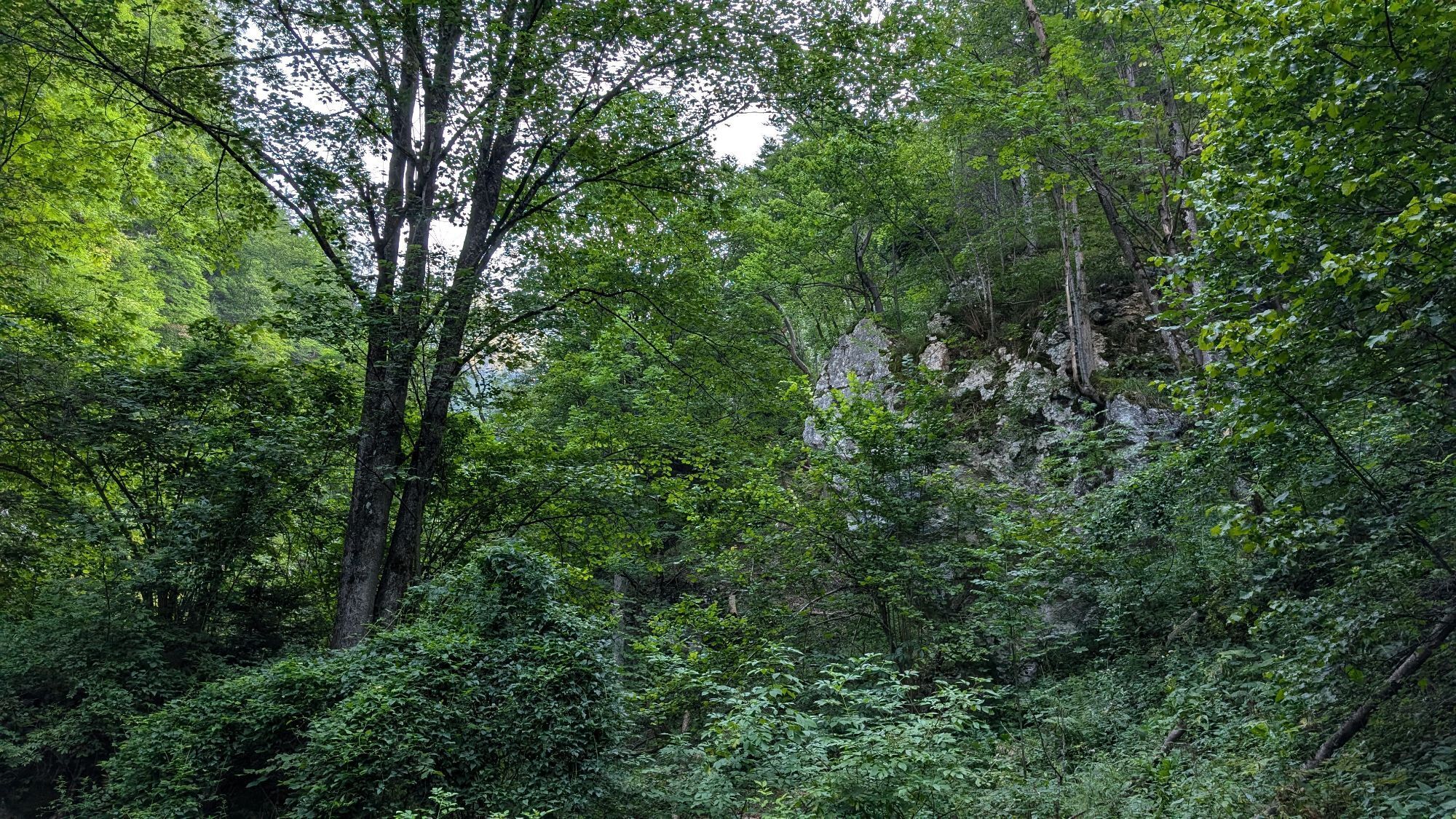
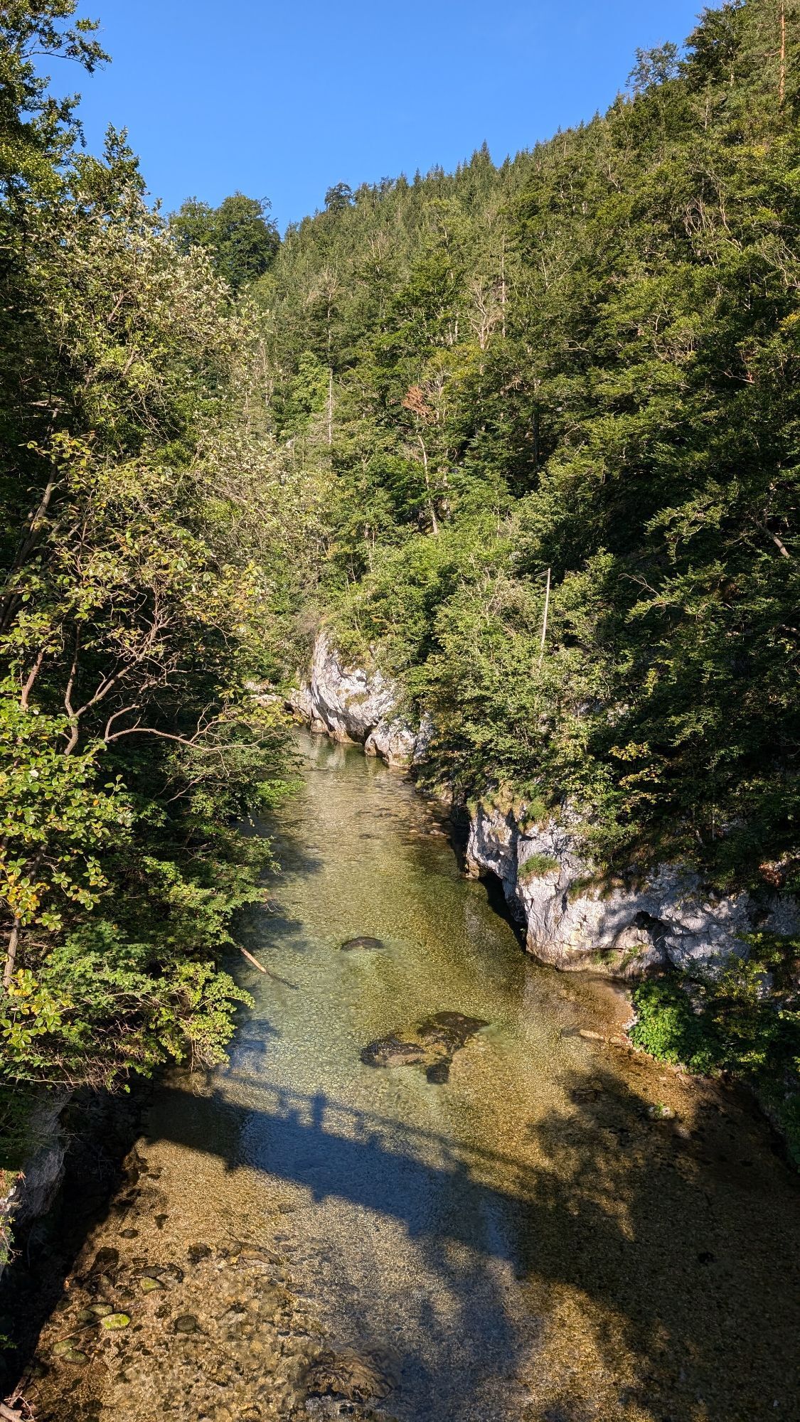
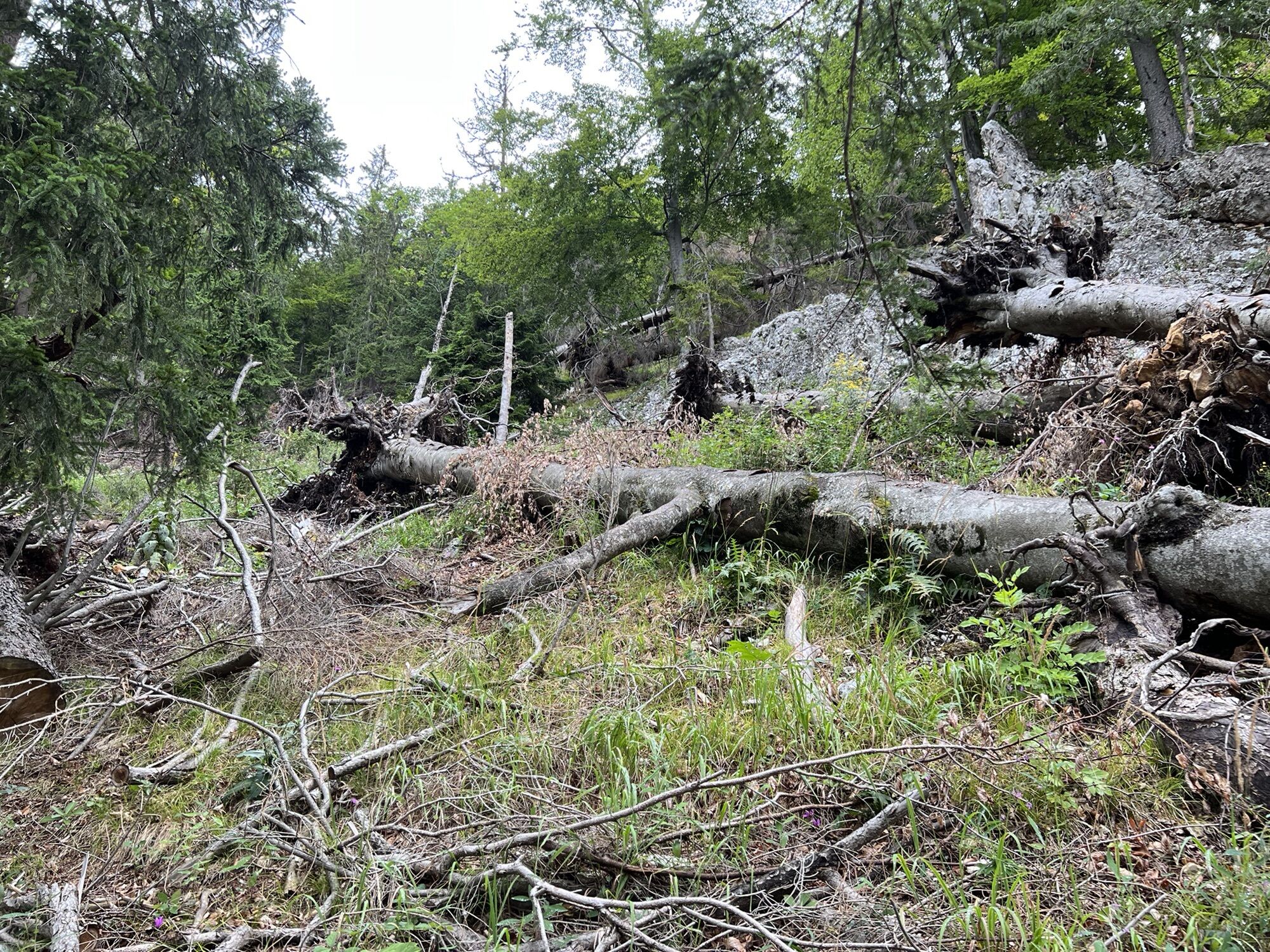
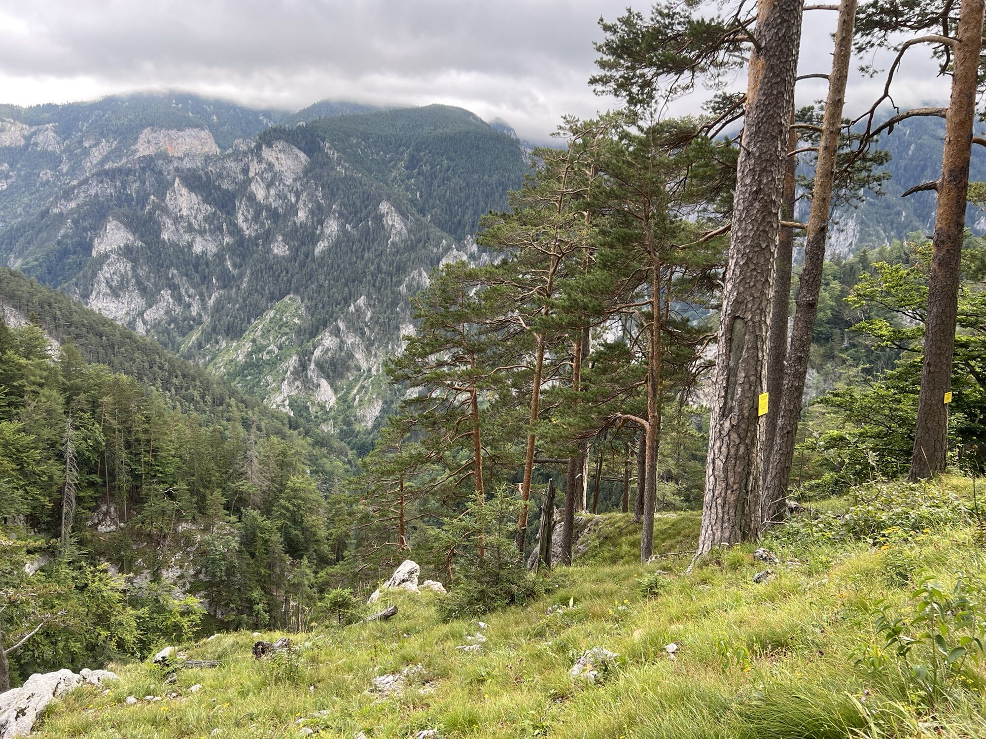
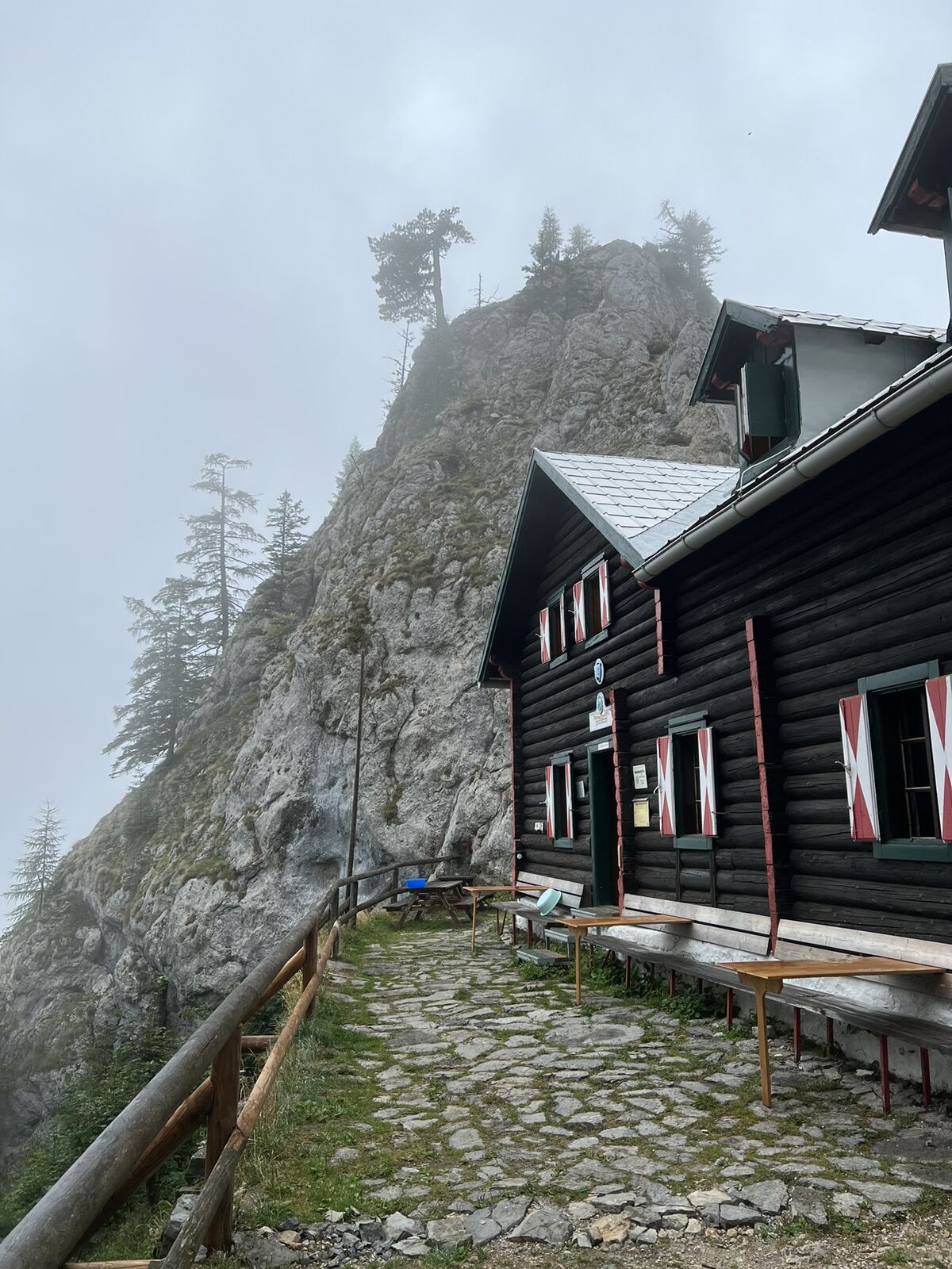
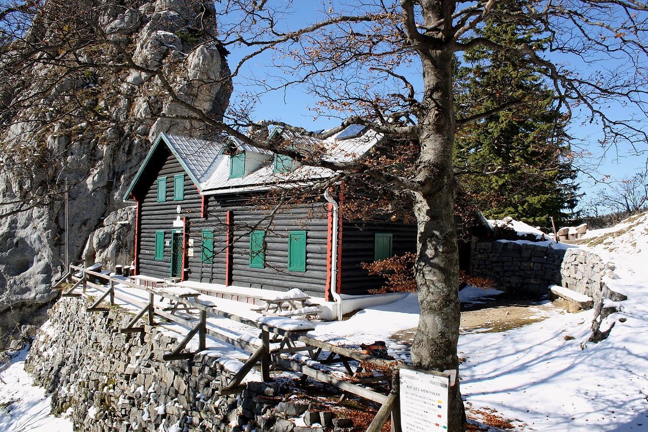
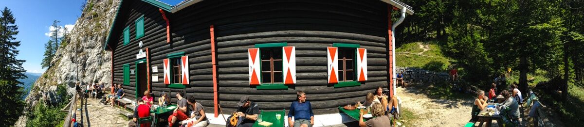
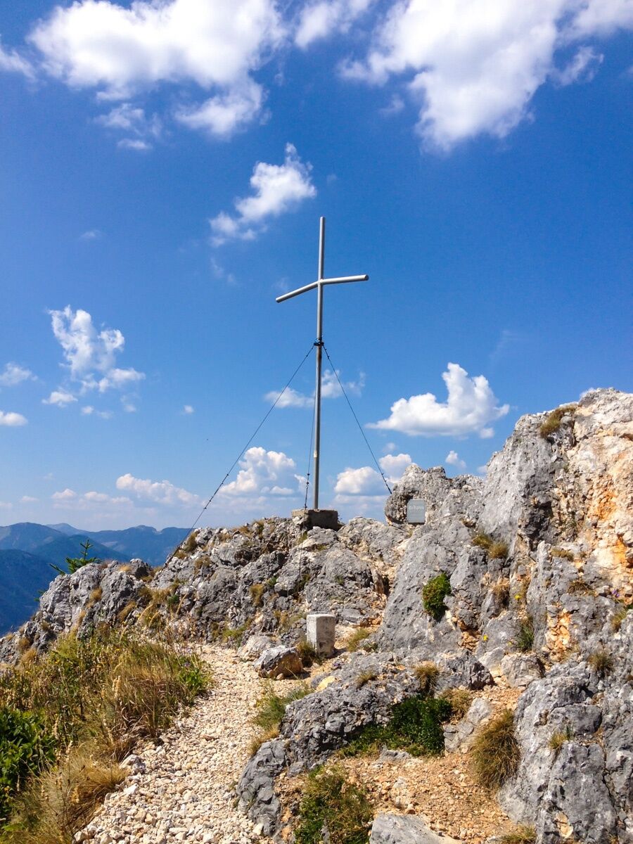
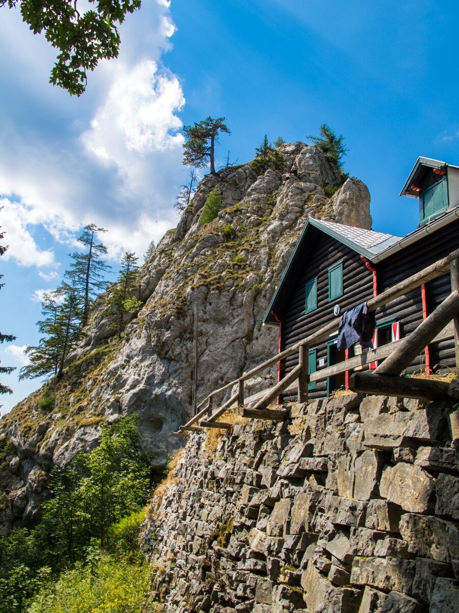
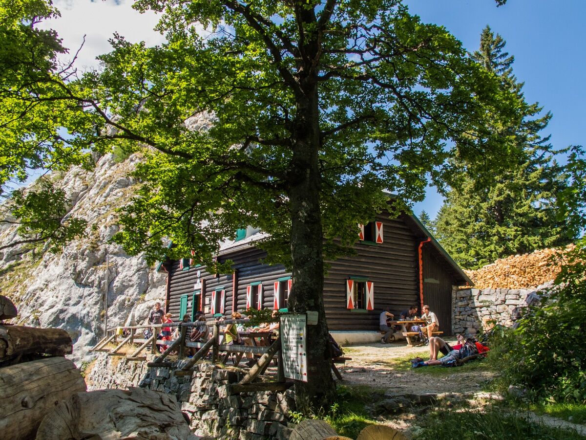
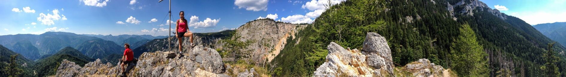
<p>From the Weichtalhaus in the Höllental, you can reach the Kienthaler Hut either via the via ferrata through the Weichtalklamm - sure-footedness is absolutely necessary here! The more pleasant route runs via the Ferdinand Mayr path and is also suitable for families. Due to the walking time of over 2 hours, breaks should be planned. The Kienthaler Hut is located at 1380 meters above sea level on the southwestern Schneeberg. The rustic log cabin is situated in a picturesque location at the foot of the Turmstein. Via ferrata routes lead to the Turmstein summit at 1416 meters elevation in a short time, offering breathtaking views of the Große Höllental, the Rax, Schneealpe, Mürzsteger and Türnitzer Alps. The Kienthaler Hut is managed by the "Alpine Society Kienthaler" and offers sleeping places as well as simple meals with bread and soups. This makes it the ideal stopover for a hike to the Schneeberg summit, which can be reached from here in one to two hours.</p><p>You can also reach the Kienthaler Hut from Losenheim via Lahning and the Fadenweg or hike down from the Hochschneeberg summit after a ride on the Schneeberg railway. </p>

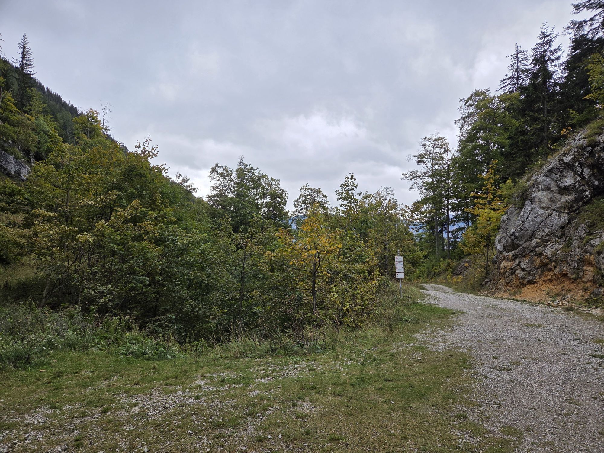
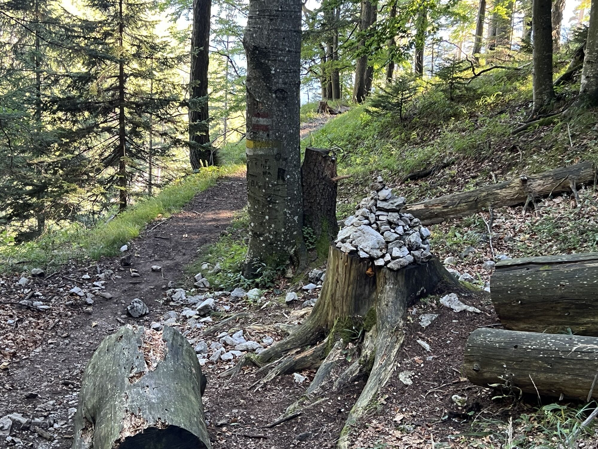
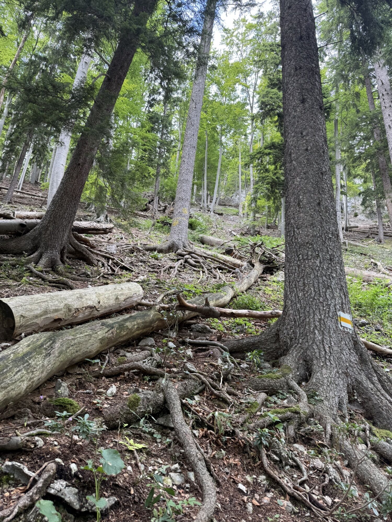
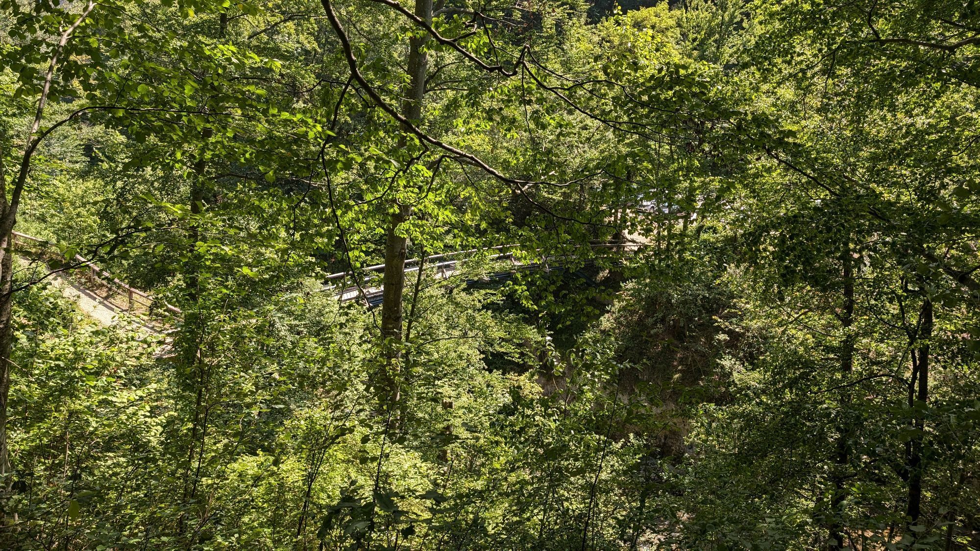
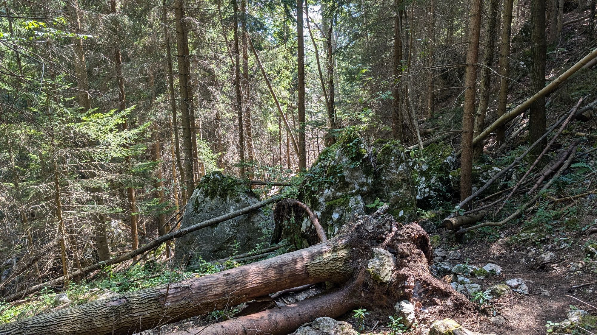
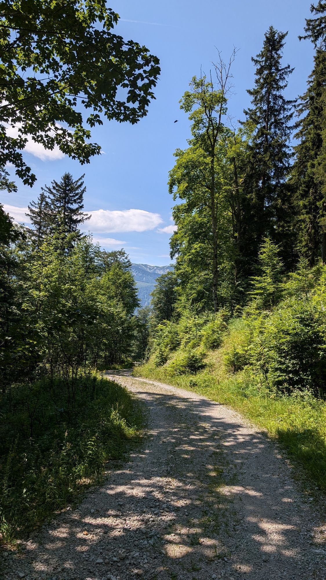
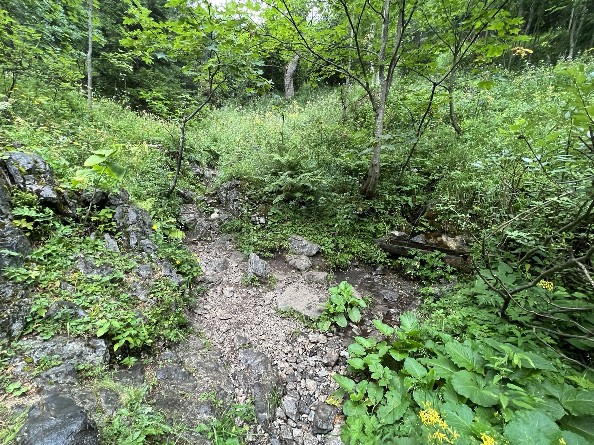
<p>We start from the Weichtalhaus in the Höllental via the Ferdinand-Mayr path. After 2.5 kilometers, we keep to the right. About 700 meters further, the via ferrata through the Weichtalklamm joins our path. We continue straight ahead for another 800 meters to the Kienthaler Hut.</p>
<p>Always take suitable <strong>maps</strong> with you. Wear sturdy <strong>shoes</strong> appropriate for the route, take sun and rain protection as well as water and a snack. Take your <strong>mobile phone</strong> with you and save the mountain rescue emergency number: 140</p>
<p>Your hikes in the Vienna Alps should be an all-around beautiful and safe experience. Please observe the following:</p><p><strong>Preparation </strong></p><p>Make sure that the route you choose corresponds to your experience and <strong>fitness</strong>. Inform yourself in advance about the <strong>weather report</strong>. The weather in the mountains can change surprisingly quickly. Therefore always go out suitably equipped (e.g. rain protection).</p><p>Check whether the <strong>huts and snack stations</strong> you want to visit on the way are open. <strong>Inform</strong> someone about your route choice and planned return before you set out.</p><p>Additional safety tips for your hike can be found <a href="www.wieneralpen.at/sicherheit-am-berg...
<p>Take the S6 - Gloggnitz exit, continue via the B27 to Hirschwang to the valley station of the Rax cable car, then to Kaiserbrunn and another approx. 3 kilometers along the B27. Keep right and continue to Hirschwang an der Rax until the Weichtalhaus.</p>
<p>Take the regional train from Wiener Neustadt main station (direction Payerbach-Reichenau) to the terminus in Payerbach. Continue by regional bus 1746 (direction Rohr/Geb Gemeindeamt) to the stop Höllental Weichtalhaus.
</p><p>More information at <a href="www.oebb.at">www.oebb.at</... and <a href="www.vor.at">www.vor.at</a&...
<p>Parking available at the Weichtalhaus.</p>
Vienna Alps in Lower Austria, www.wieneralpen.at, +43 / 2622 / 78960
Combine your hike with a stay in Reichenau an der Rax, for example at the Seminar-Park Hotel Hirschwang, at the Hotel Knappenhof or at the Flackl Wirt.


Priljubljeni izleti v okolici
-
4.6
Losenheim: Edelweißhütte - Fadensteig - Fischerhütte
srednjaPohodništvo 11.5 km -
4.7
Zahnradbahn und Wandern am Schneeberg - Plateauwanderung
srednjaPohodništvo 6.90 km -
4.8
Rax - Heukuppe
Pohodništvo 15.6 km -
4.8
Cultural walk Payerbach-Reichenau
svetlobaPohodništvo 7.43 km -
5.0
"Weichtalklamm" über Stock und Stein durch das Höllental - Weichtalhaus - Kientallerhütte 1340m
srednjaPohodništvo 14.0 km -
4.9
Reißtalersteig und Gretchensteig
težkoPohodništvo 8.10 km -
4.4
Familienwanderung auf die Schneealm im Naturpark Mürzer Oberland
svetlobaPohodništvo 9.86 km -
4.9
Insider tip: Schneeberg via the Novembergrat
težkoPohodništvo 13.5 km -
4.9
"Schneealpe" - "Windberg 1903m" Rundkurs
srednjaPohodništvo 14.3 km -
4.9
RAX Preiner Gscheid Waxriegel Predigtstuhl Heukuppe Karl L.Haus ret. 20210908
srednjaPohodništvo 12 km
Pohodništvo in sledenje


Ne zamudite ponudb in navdiha za naslednje počitnice
Vaš e-poštni naslov je bil dodan na poštni seznam.