







Hike to Alpengasthof Fernblick (from Mönichkirchen)

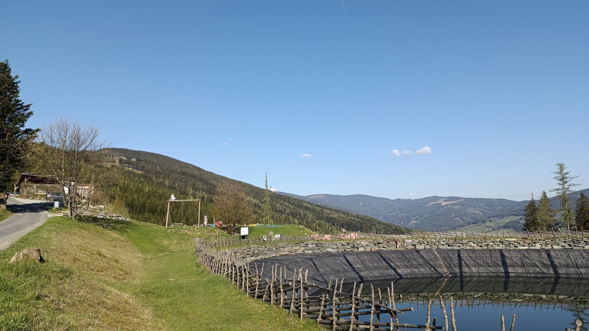
The Alpengasthof Fernblick can be reached comfortably from Mönichkirchen at the valley station of the Sonnenlift. Those who want to shorten the way and save time take the lift to the mountain station,...
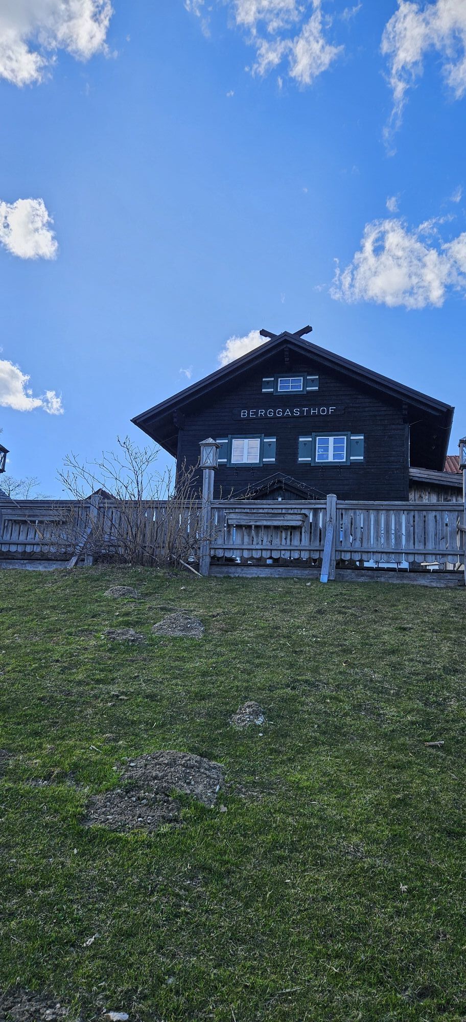
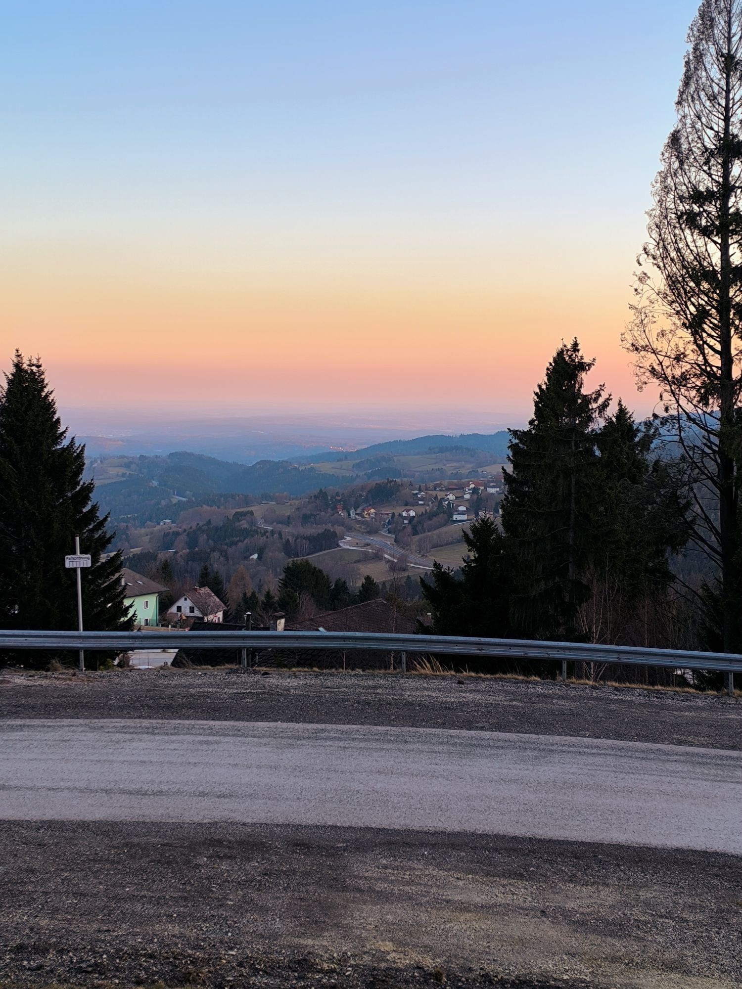
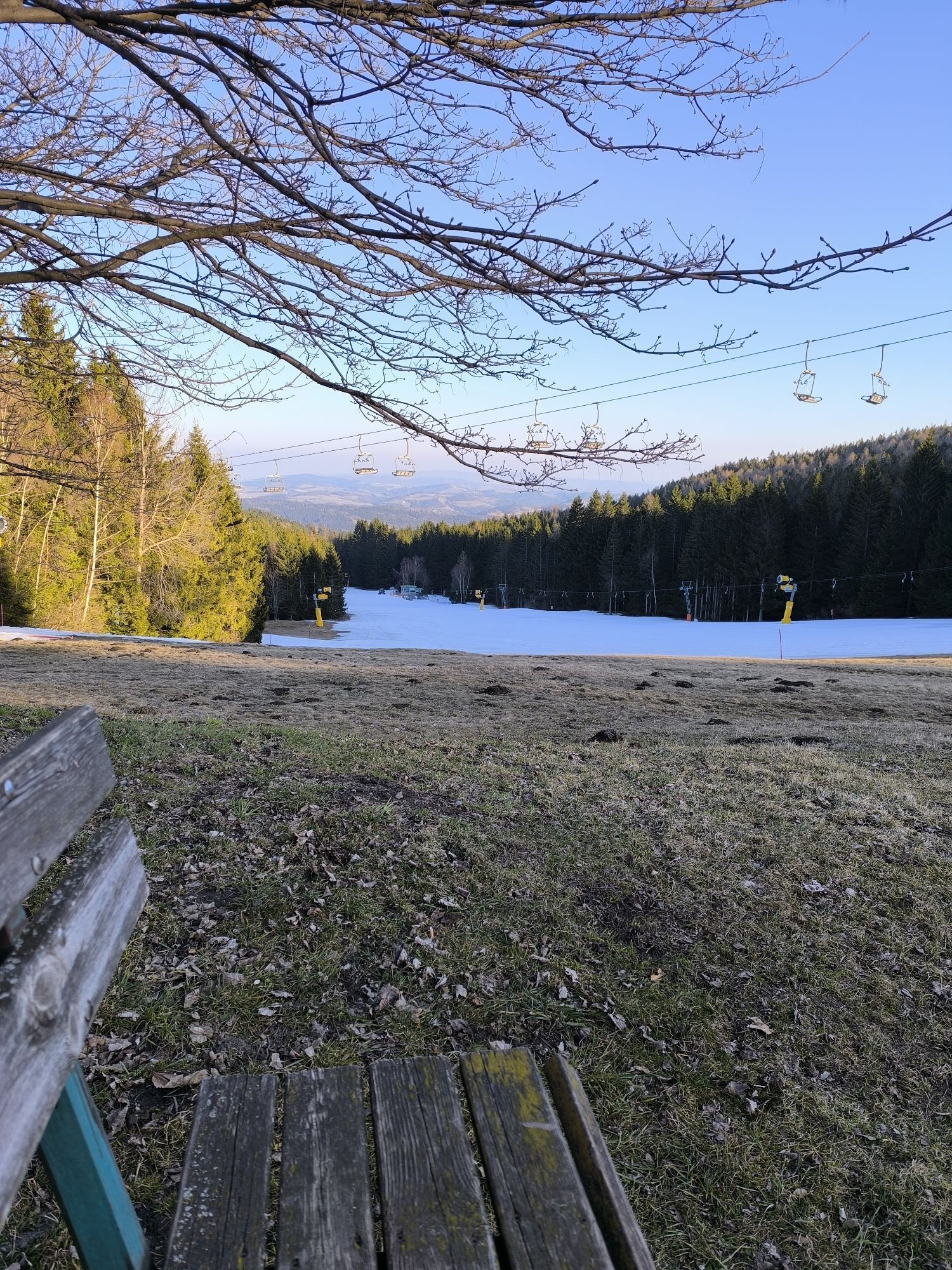
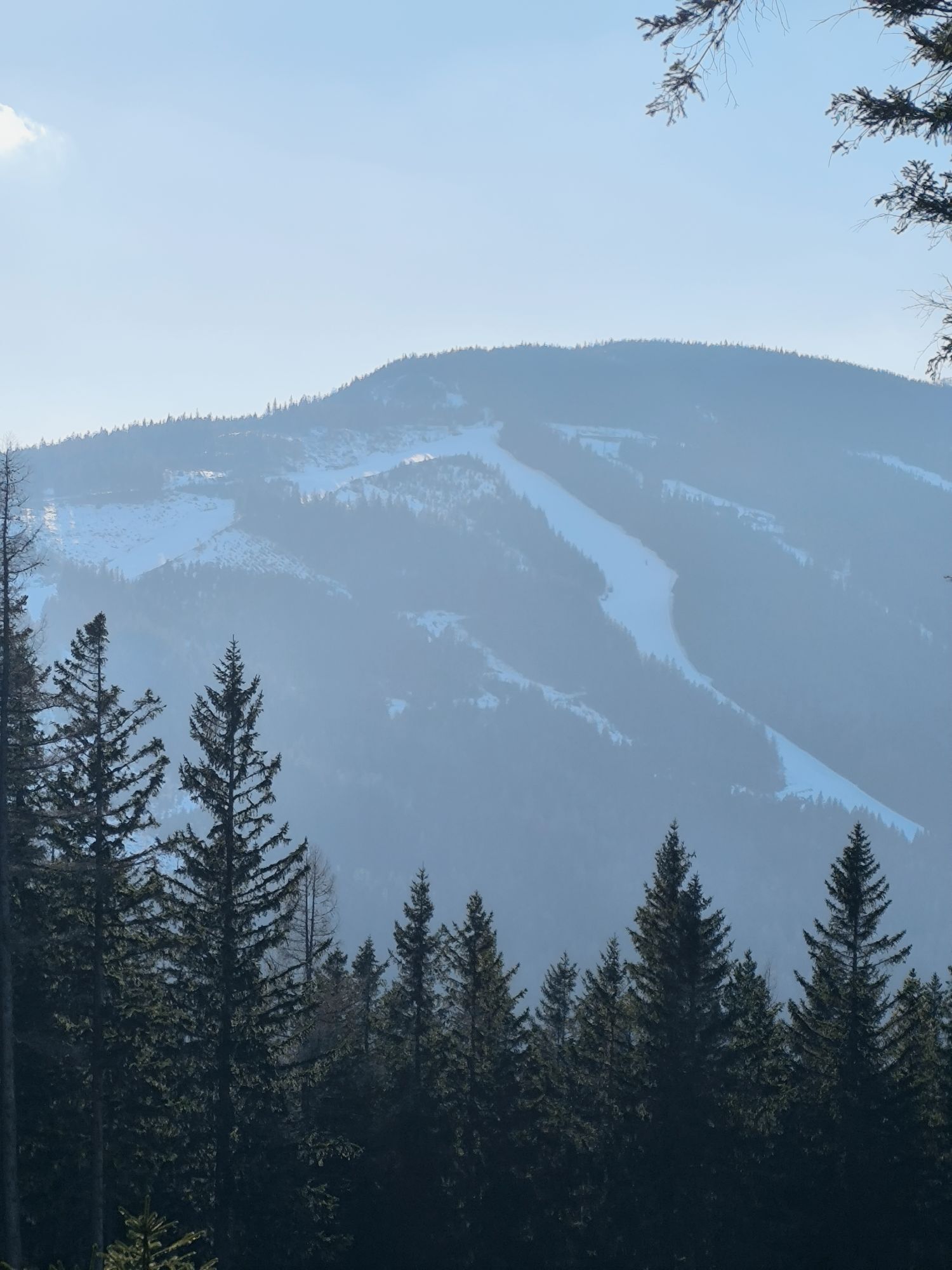
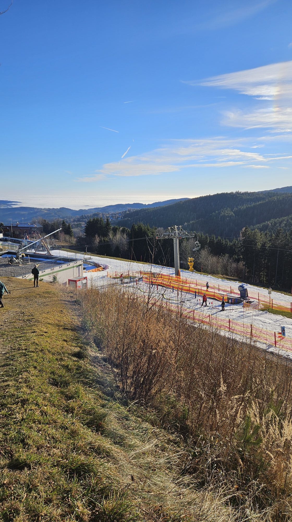
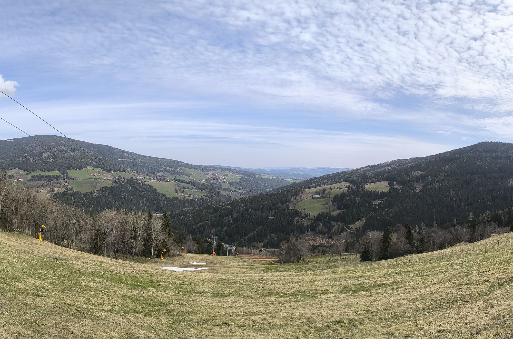
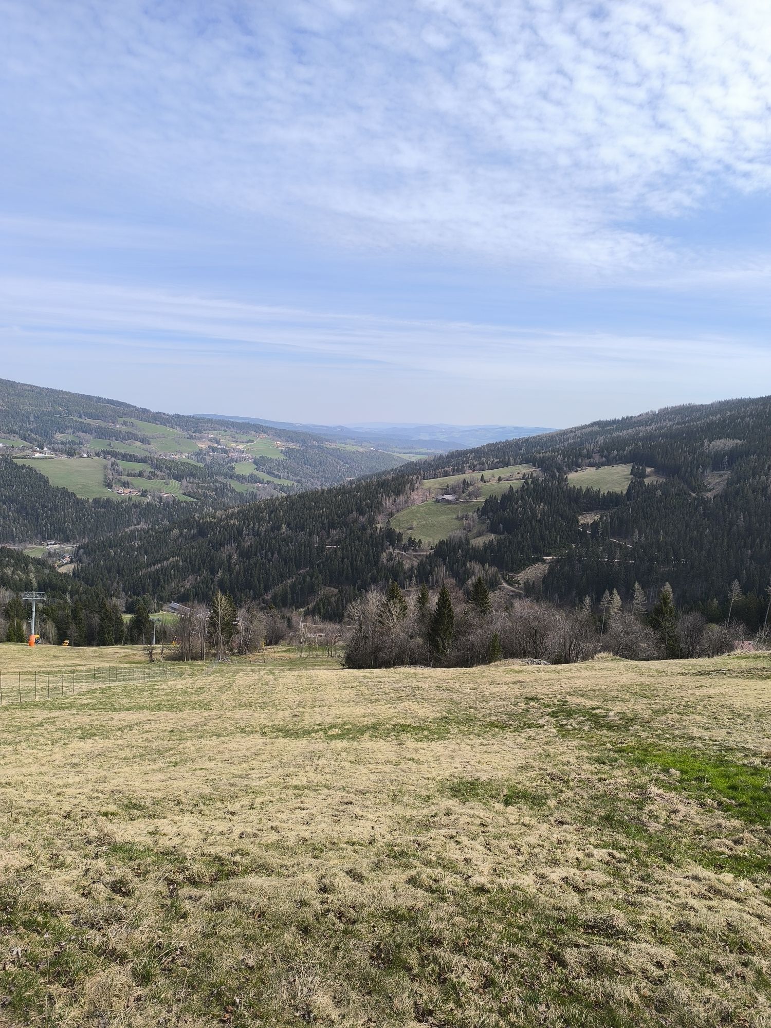
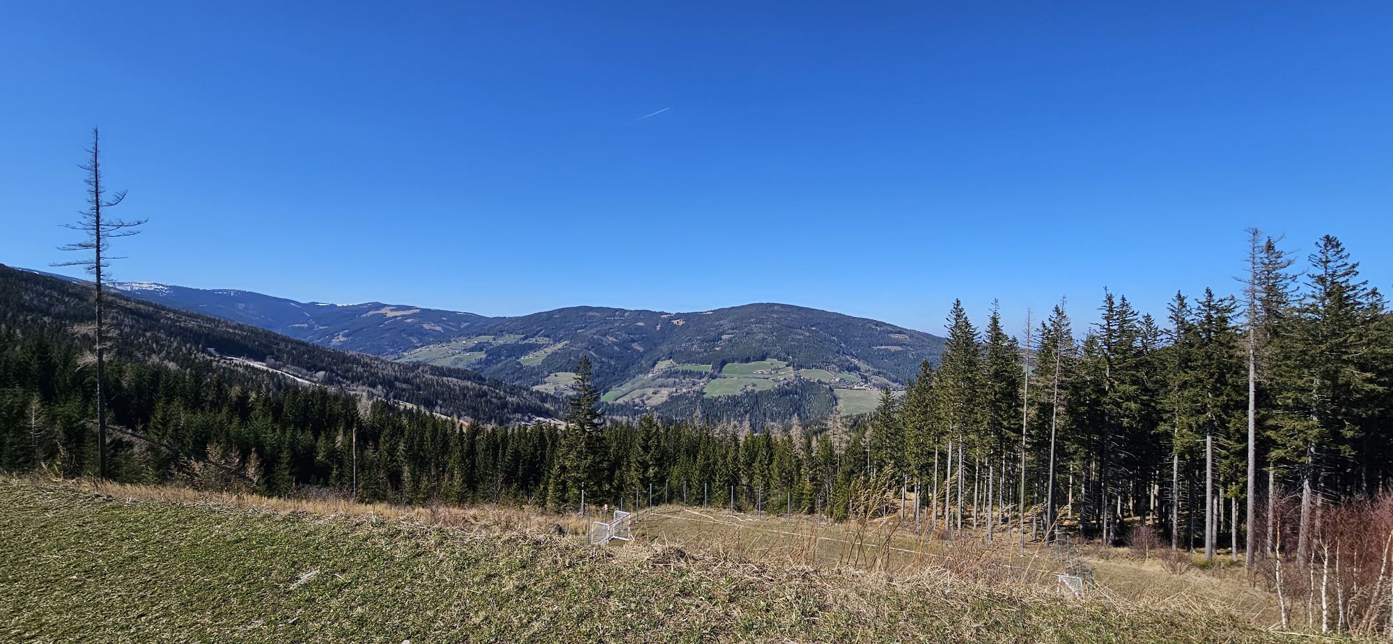
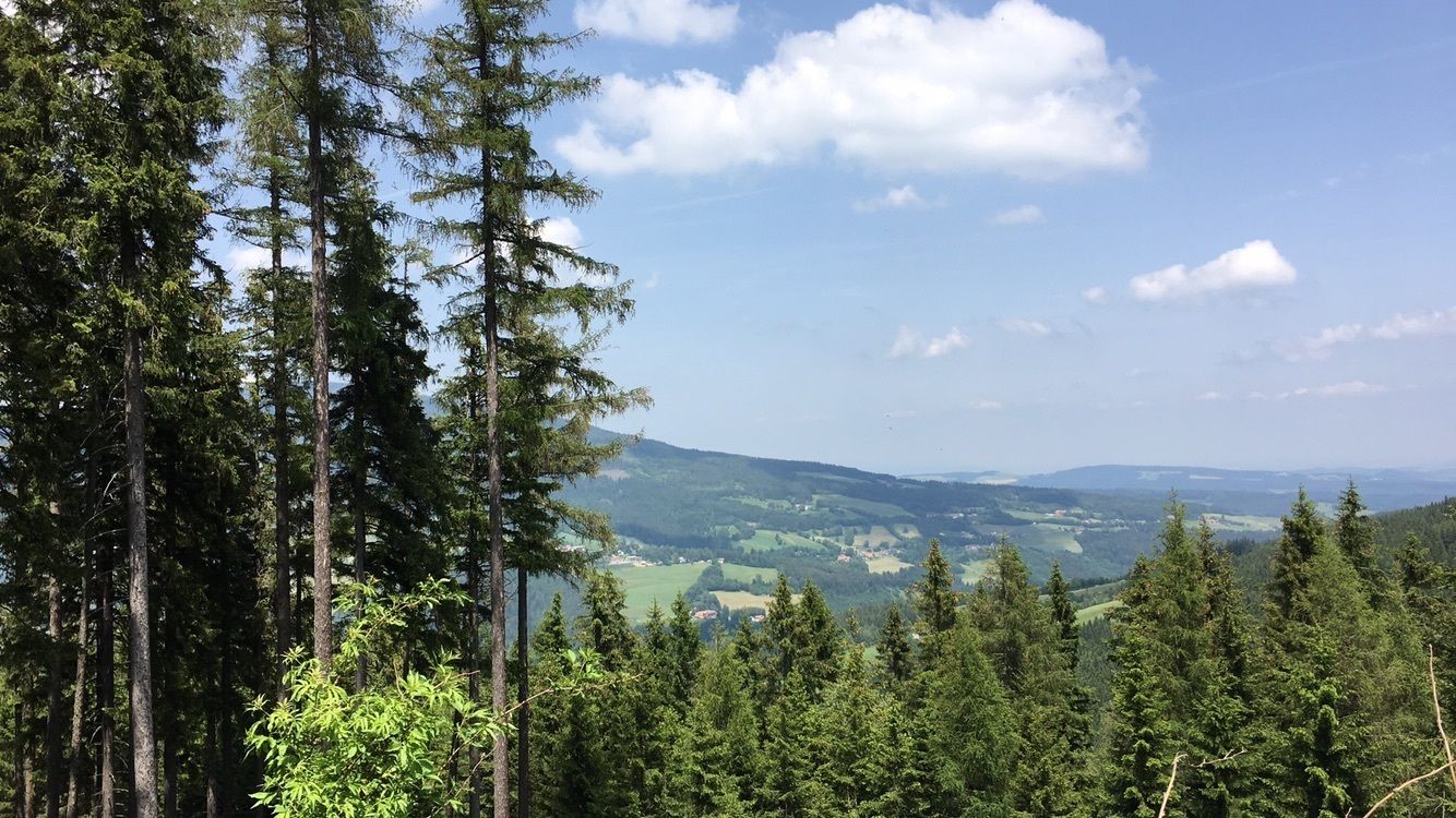
<p>The Alpengasthof Fernblick can be reached comfortably from Mönichkirchen at the valley station of the Sonnenlift. Those who want to shorten the way and save time take the lift to the mountain station, from where one reaches the Alpengasthof via beautiful, flat paths.</p><p>The Alpengasthof Fernblick at 1,180 m above sea level is not only a popular starting point for skiers in winter. In summer, the surroundings offer countless hiking and excursion opportunities, such as the theme path Lebenswasser, the Hamari Kraxlpark in Mönichkirchen, and the roller track. The Alpengasthof rightly carries the nickname "Fernblick" (panoramic view). The panorama terrace invites you to a unique view. Refreshments are available from the all-day warm kitchen with grayling and trout from its own ponds and fresh farm products. The ascent via Mönichkirchen is especially suitable for families, as you pass many excursion destinations and can make the way to the hut an adventure.</p><p>Alternative ascent options start in Mariensee/Neustift am Alpenwald at the valley station of the "Schischaukel" over Putz along the Mönichkirchen-Mariensee ski lifts.</p><p>From Mönichkirchen, a stage also starts on the Weg am Wiener Alpenbogen. A regional route also passes by the Alpengasthof Fernblick.</p>

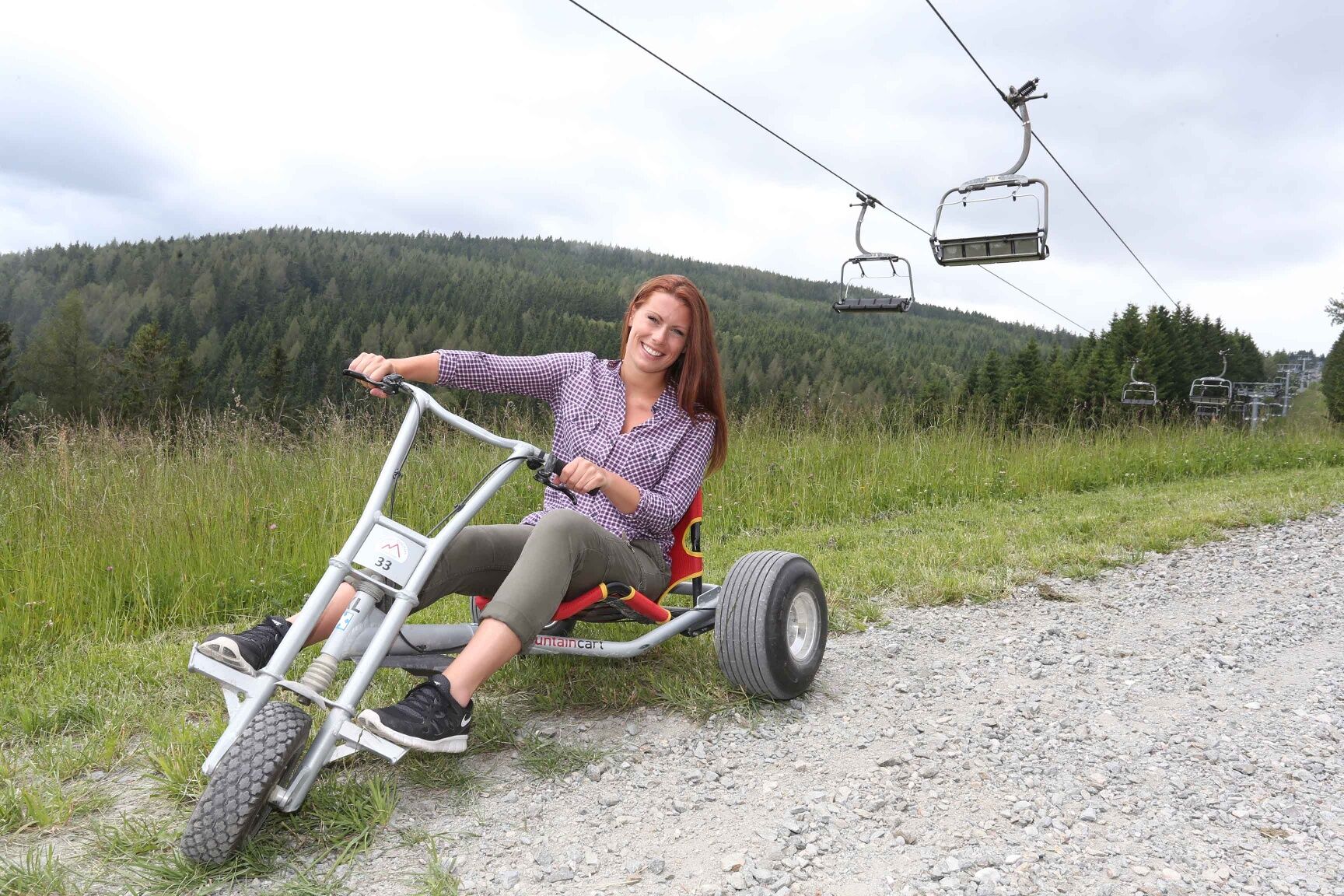

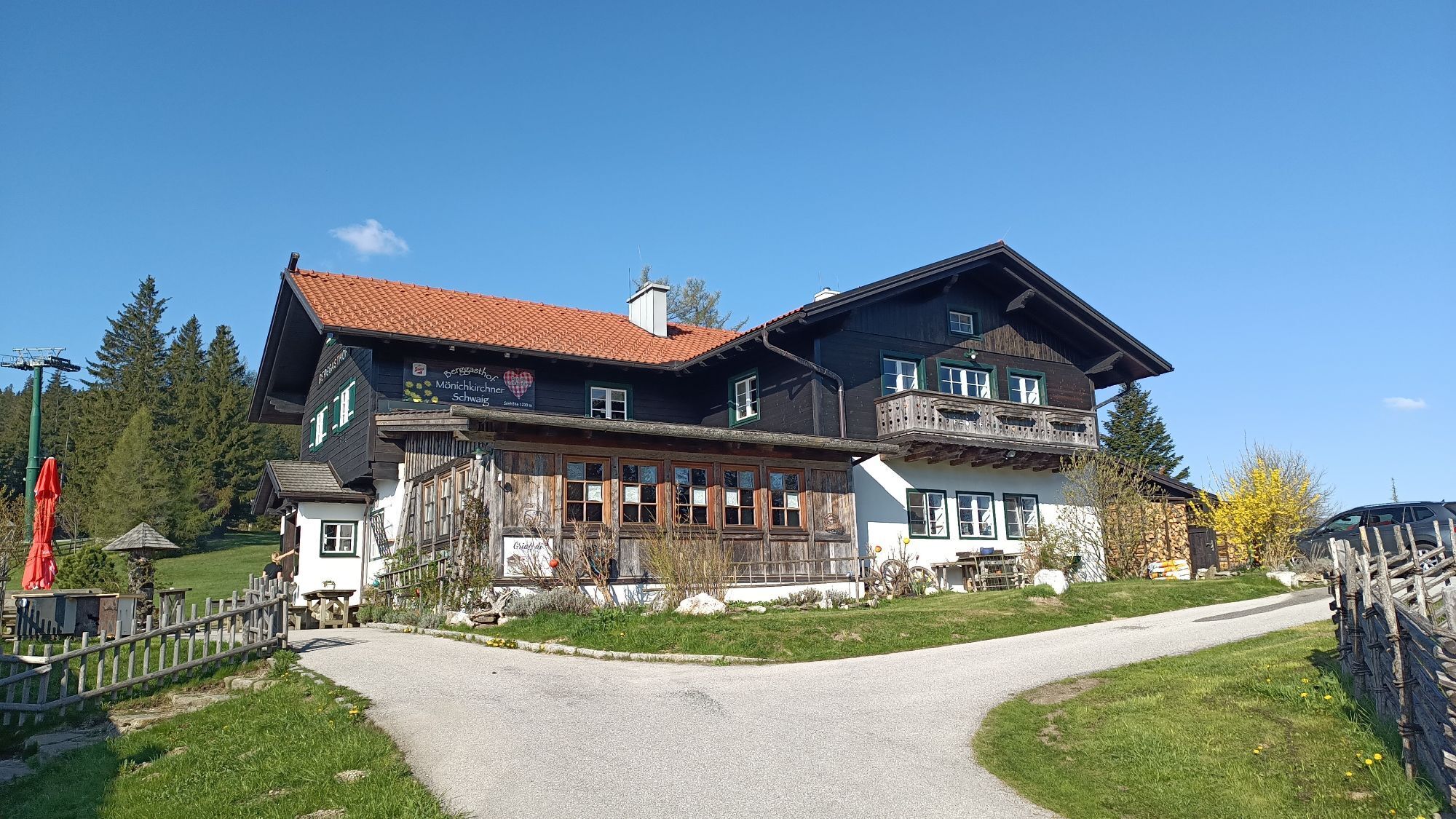
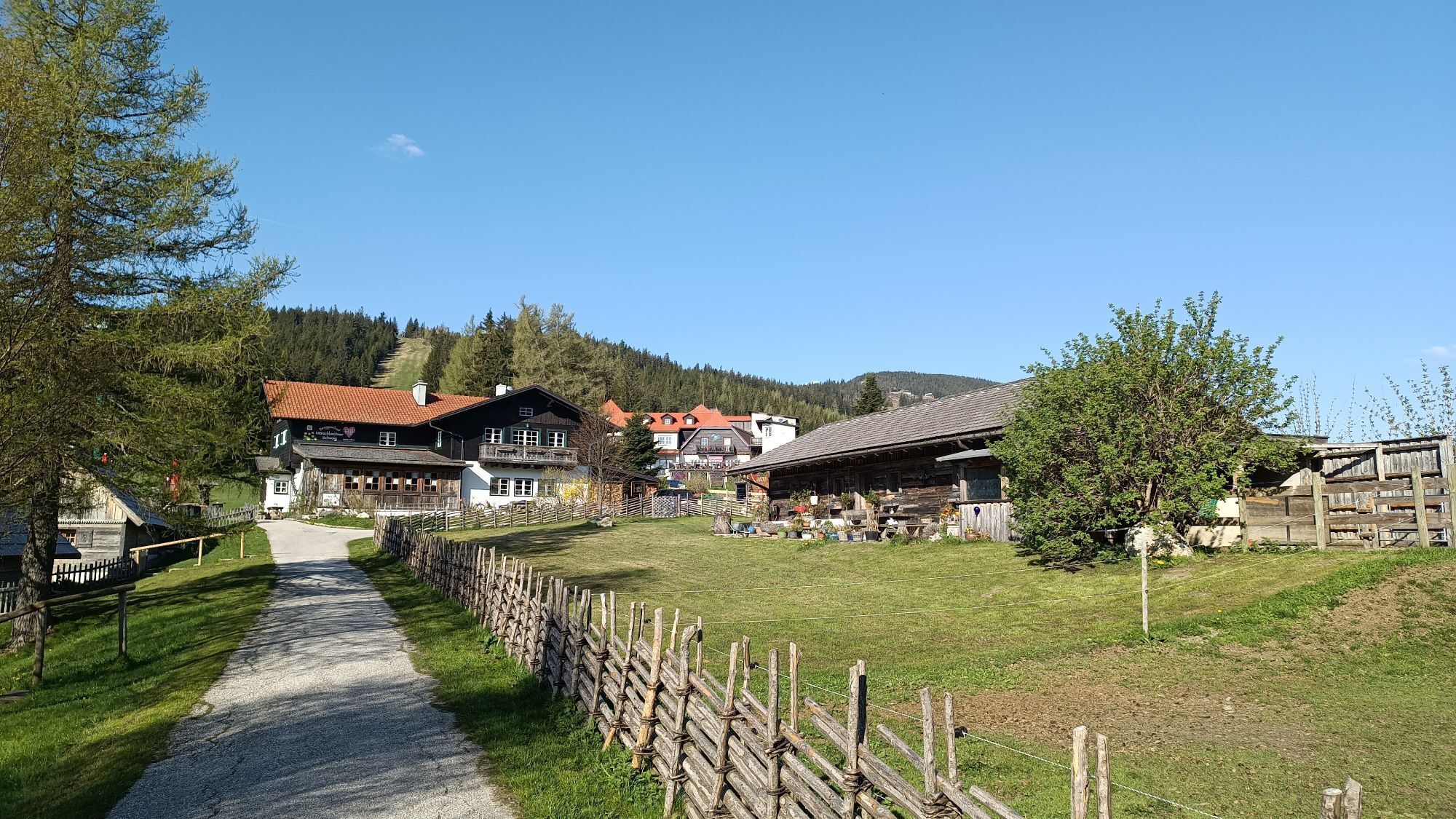
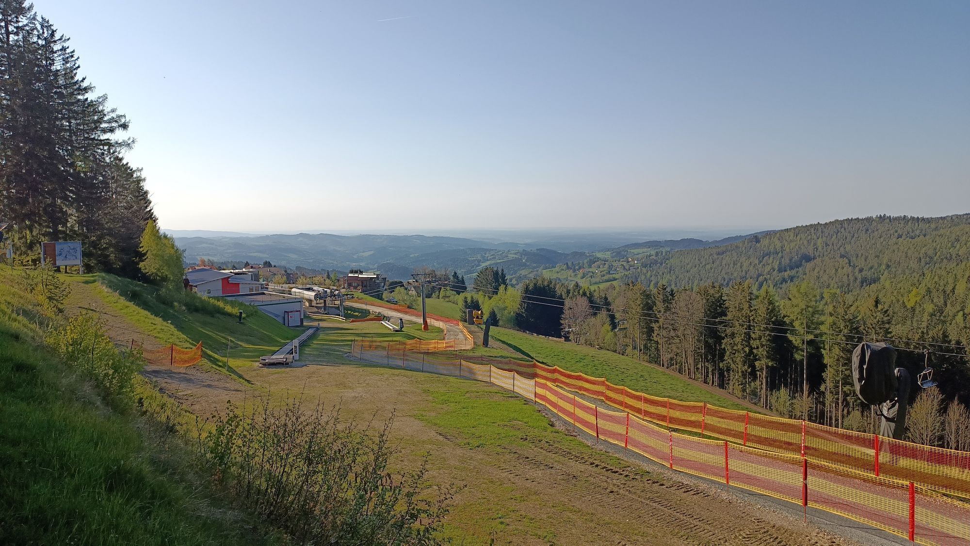
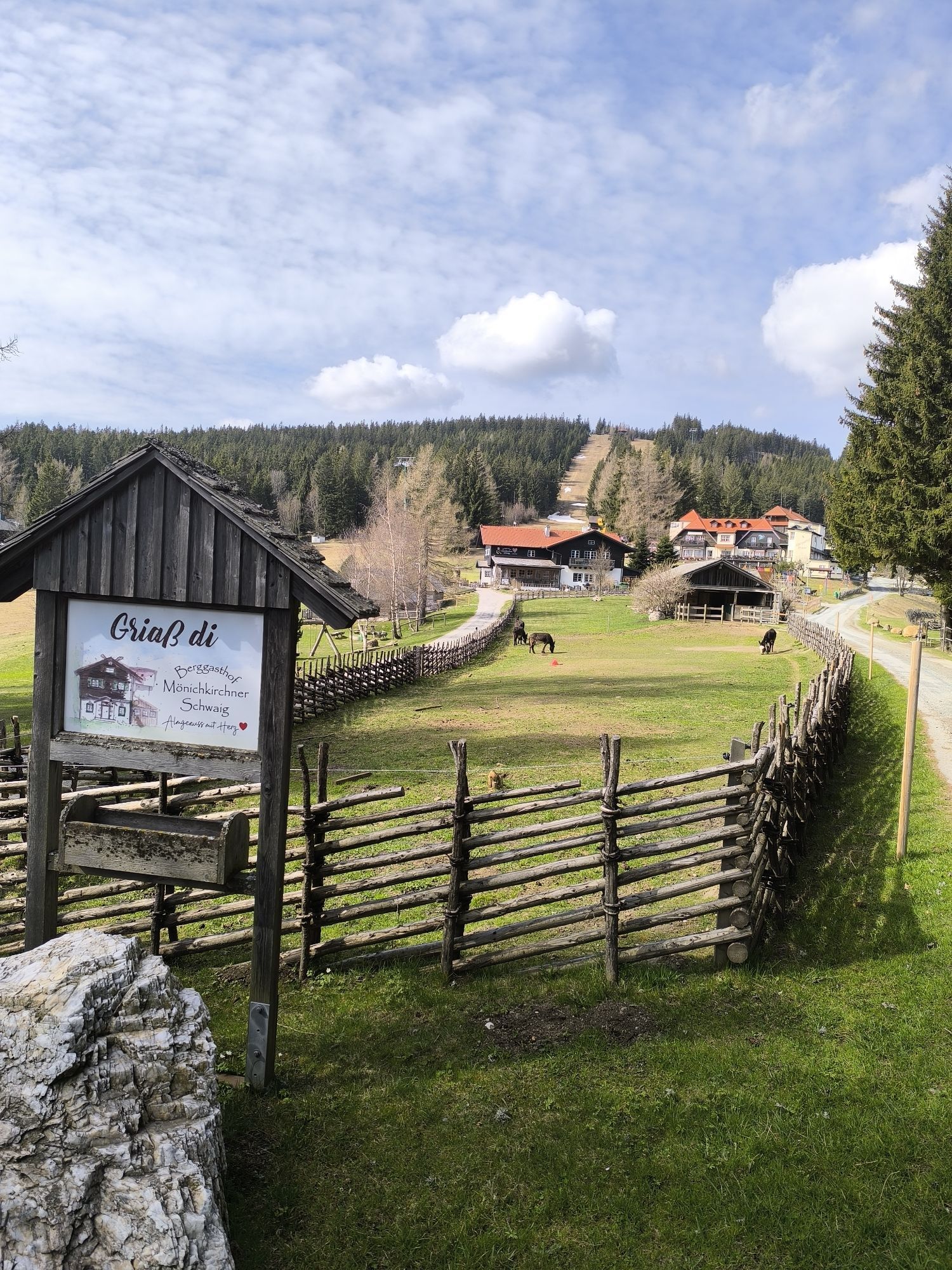
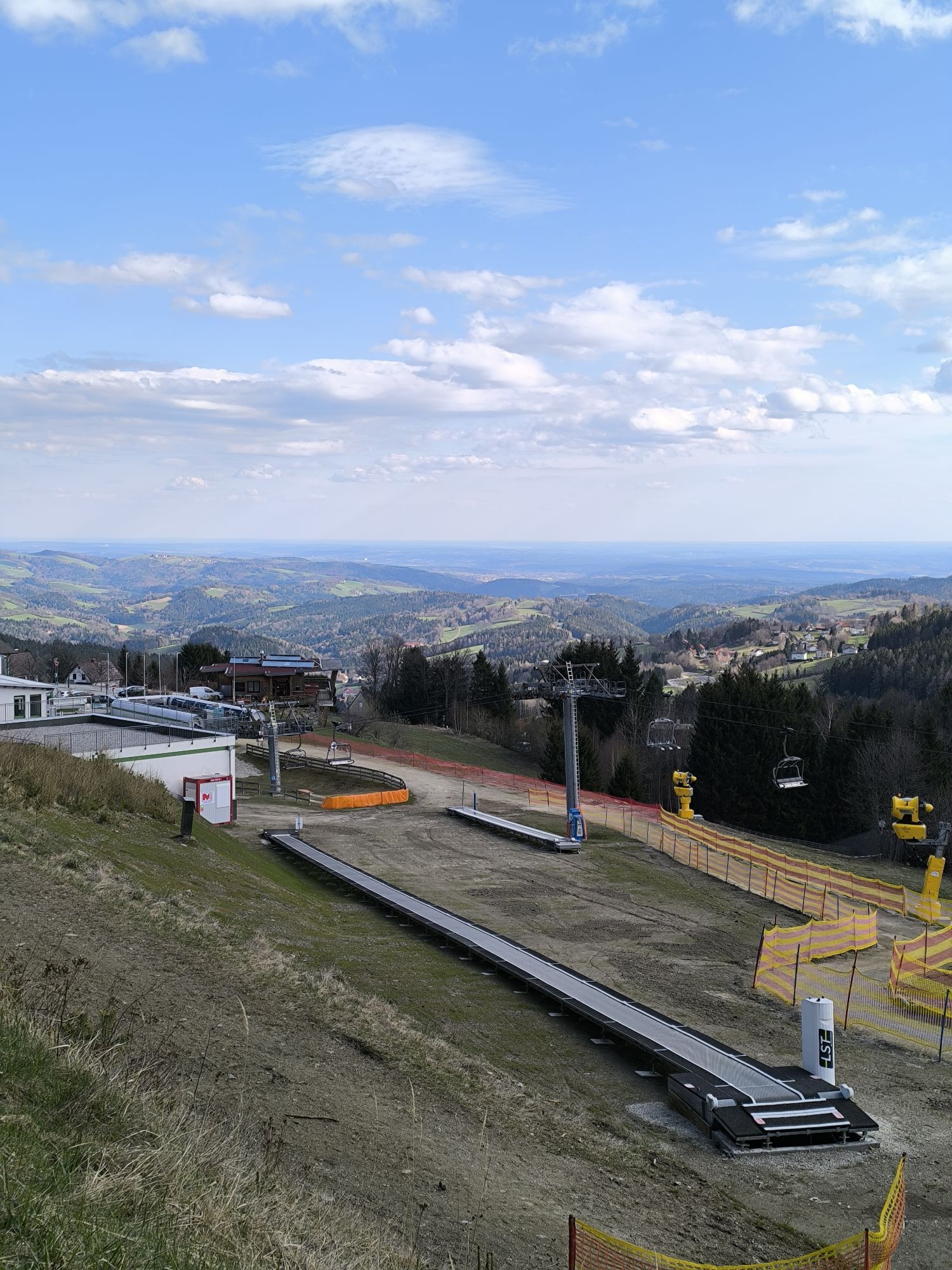
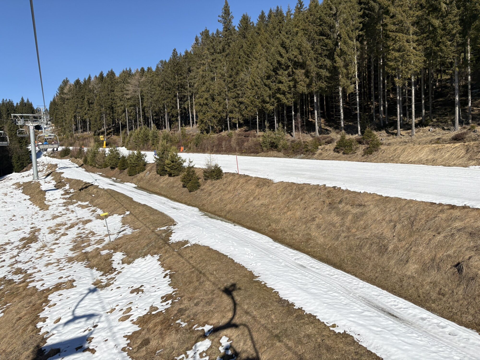
<p>From the valley station of the Sonnenlift and the roller track, we follow a path along the lift to the mountain station. We can also comfortably cover the altitude meters with the lift. Right at the mountain station, we pass the mountain inn Mönichkirchner Schwaig, just a few meters further on the Alpenhotel Enzian. We continue on the paved road and after about 1.3 kilometers reach our destination, the Alpengasthof Fernblick.</p>
<p>Always take suitable <strong>maps</strong> with you. Wear sturdy <strong>shoes</strong> suited to the route, bring sun and rain protection as well as water and a snack. Take your <strong>mobile phone</strong> with you and save the emergency number of the mountain rescue: 140</p>
<p>Your hikes in the Vienna Alps should be a thoroughly beautiful and safe experience. Please therefore observe the following:</p><p><strong>Preparation</strong></p><p>Make sure when choosing the route that it corresponds to your experience and <strong>fitness</strong>. Inform yourself in advance about the <strong>weather report</strong>. The weather can change surprisingly quickly in the mountains. Therefore, always set out appropriately equipped (e.g. rain protection).</p><p>Check whether the <strong>huts and snack stations</strong> you want to visit are open. <strong>Inform</strong> someone about your route choice and your planned return before you set out.</p><p>Further safety tips for your hike can be found <a href="www.wieneralpen.at/sicherheit-am-berg...
<p><strong>From Vienna</strong> coming on the A2, take the exit Edlitz onto the B54 Wechsel federal road and follow the signs to Mönichkirchen.<br /><br /><strong>From Graz</strong> coming on the A2, take the exit Pinggau towards Friedberg and follow the signs to Mönichkirchen.</p>
<p>Take the regional train (direction Aspang-Markt) from Wiener Neustadt station to the final station, Aspang, then continue with the regional buses to Mönichkirchen.
</p><p>More information can be found at <a href="www.oebb.at">www.oebb.at</... , <a href="www.vor.at">www.vor.at</a&...
<p>Parking spaces are available at the valley station of the Sonnenlift.</p>
More info:
Vienna Alps in Lower Austria, www.wieneralpen.at, +43 / 2622 / 78960
Alpengasthof Fernblick, www.fernblick-alm.at/index.htm
For a longer stay, overnight accommodation is offered at the Alpenhotel Enzian or at the Breakfast Pension Koderholt!
Pridobite vpogled
Vedno v živo na mestu z več kot 9.500 spletnimi kamerami. bergfex Kot uporabnik Pro si lahko zdaj ogledate ustrezne spletne kamere za številne izlete v aplikaciji izleti iz. Tako si lahko neposredno ogledate trenutne razmere.
Priljubljeni izleti v okolici
-
4.8
Hochwechsel-Runde, Waldbach-Mönichwald
srednjaTrailrunning 17.9 km -
3.7
Schwaigen Rundwanderung
svetlobaPohodništvo 8.24 km -
3.8
St. Corona - Kampstein
srednjaPohodništvo 10.7 km -
4.6
Mariensee - Wildwasserweg - Marienseer Schwaig
svetlobaPohodništvo 8 km -
4.5
Rabl-Kreuz-Hütte auf den Hochwechsel
svetlobaSnežni čevlji 9.87 km -
4.5
Hochwechsel
srednjaPohodništvo 14.3 km -
4.7
Hochwechsel - Tour
Pohodništvo 18.5 km -
4.7
Hochwechsel und Arabichl ab/bis Mariensee
srednjaPohodništvo 17.5 km -
4.0
Bucklige Welt: Burg Grimmenstein und Kulmriegel
svetlobaPohodništvo 10.5 km -
4.7
Aspang Hochwechsel Panorama-Runde Wexl Trails mit "The WU" 2018
srednjaMountainbike 57.5 km
Pohodništvo in sledenje


Ne zamudite ponudb in navdiha za naslednje počitnice
Vaš e-poštni naslov je bil dodan na poštni seznam.





