







WAB - Regional Route A: Katzelsdorf - Lanzenkirchen - Bad Erlach

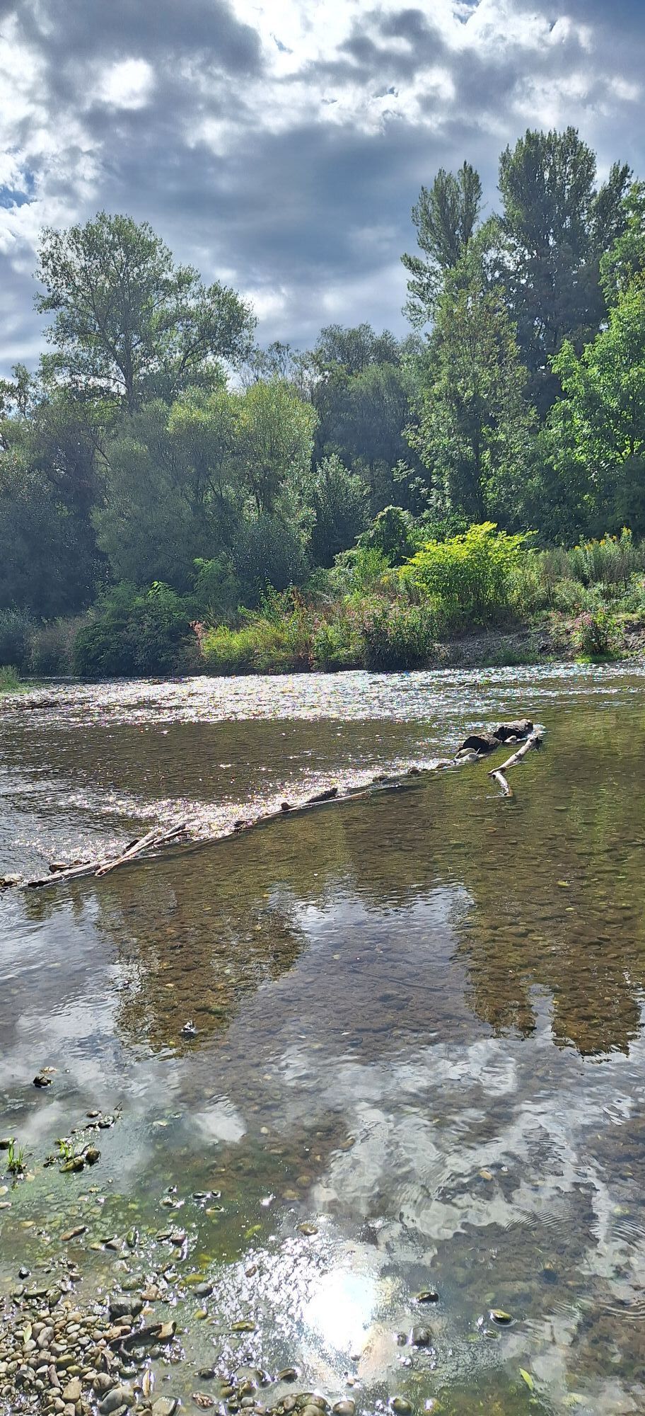
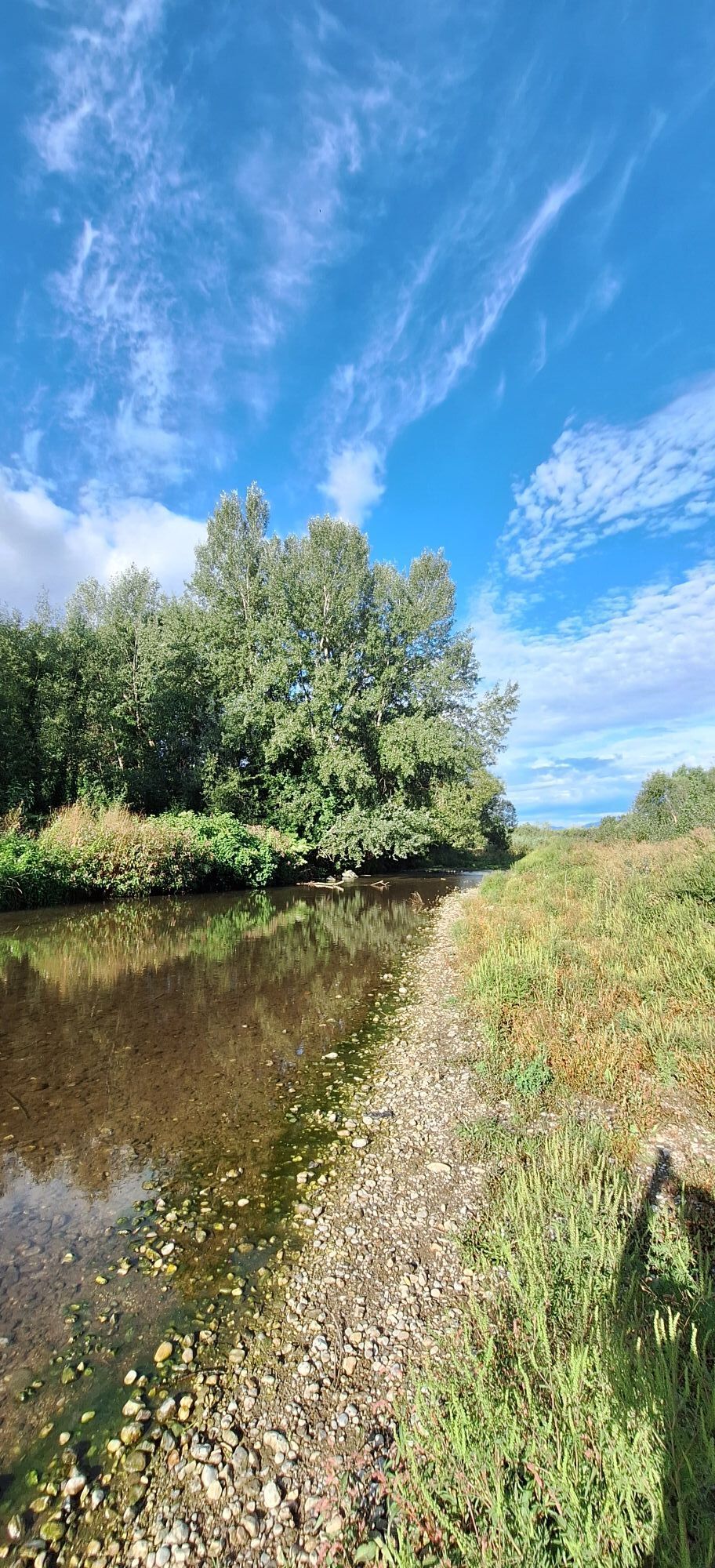
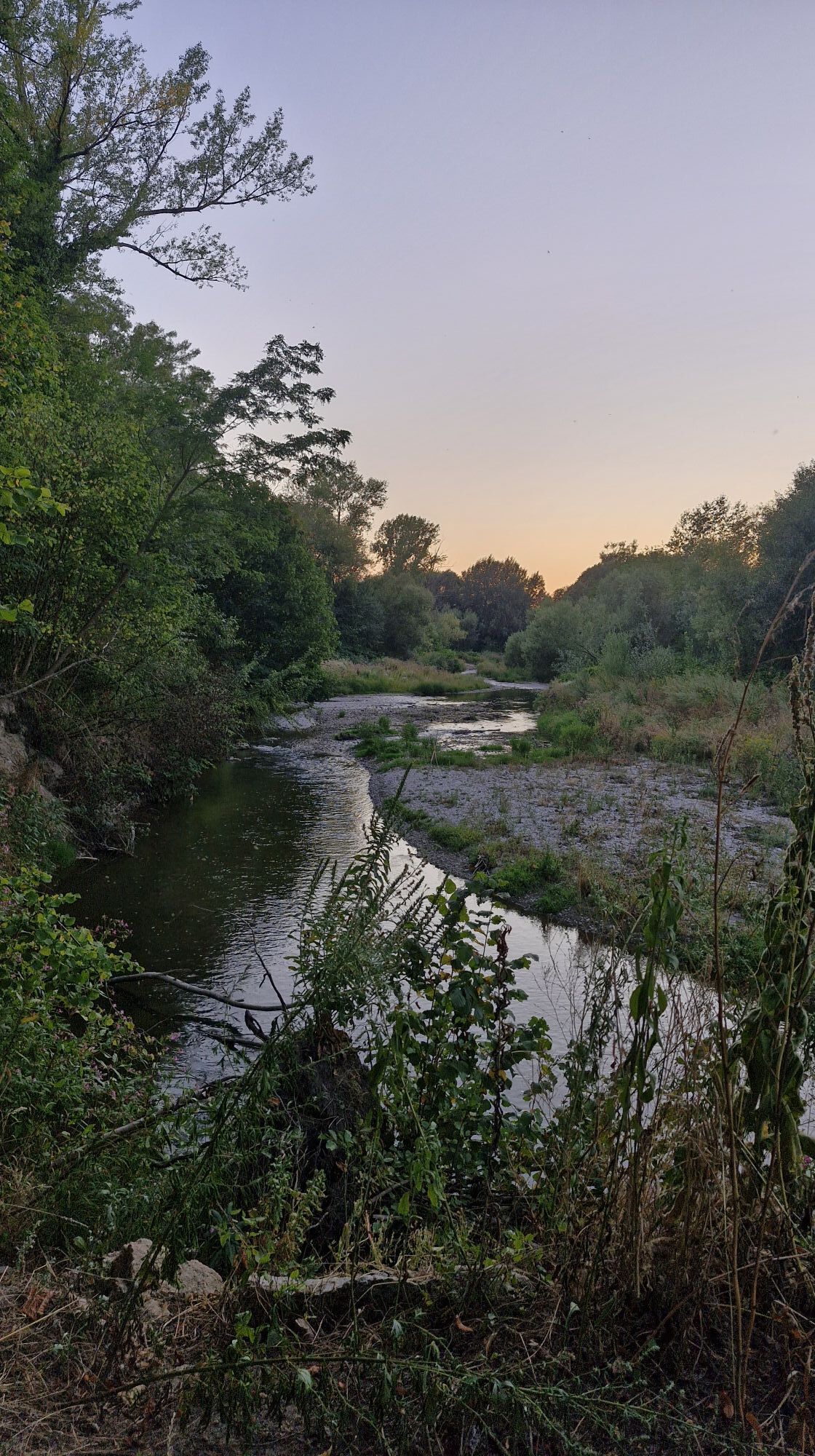
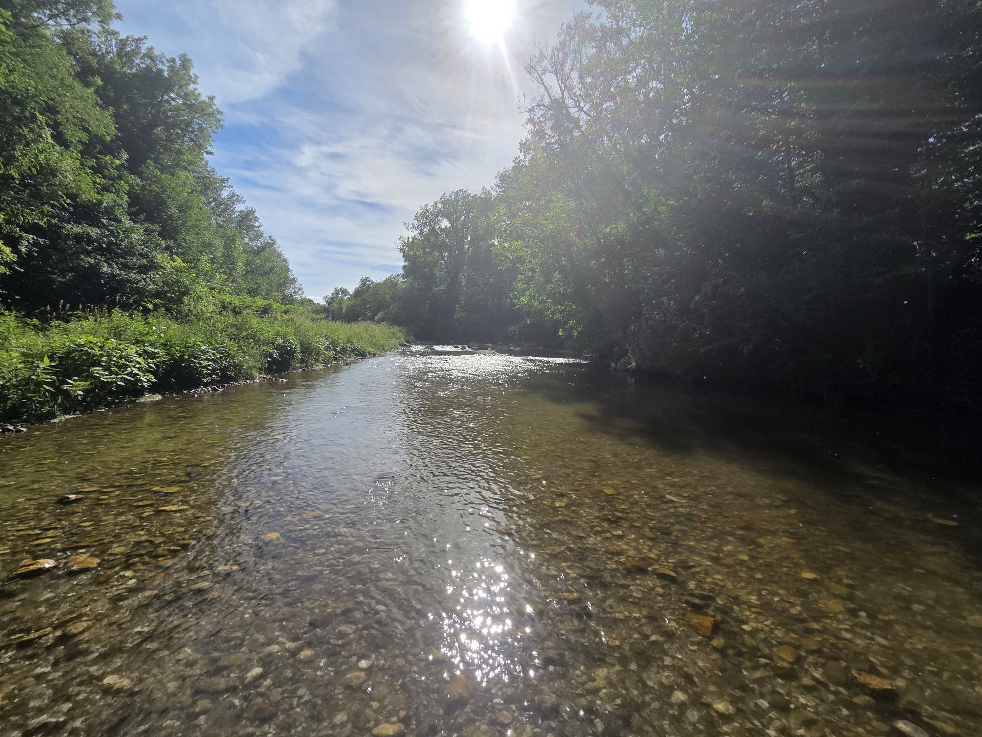
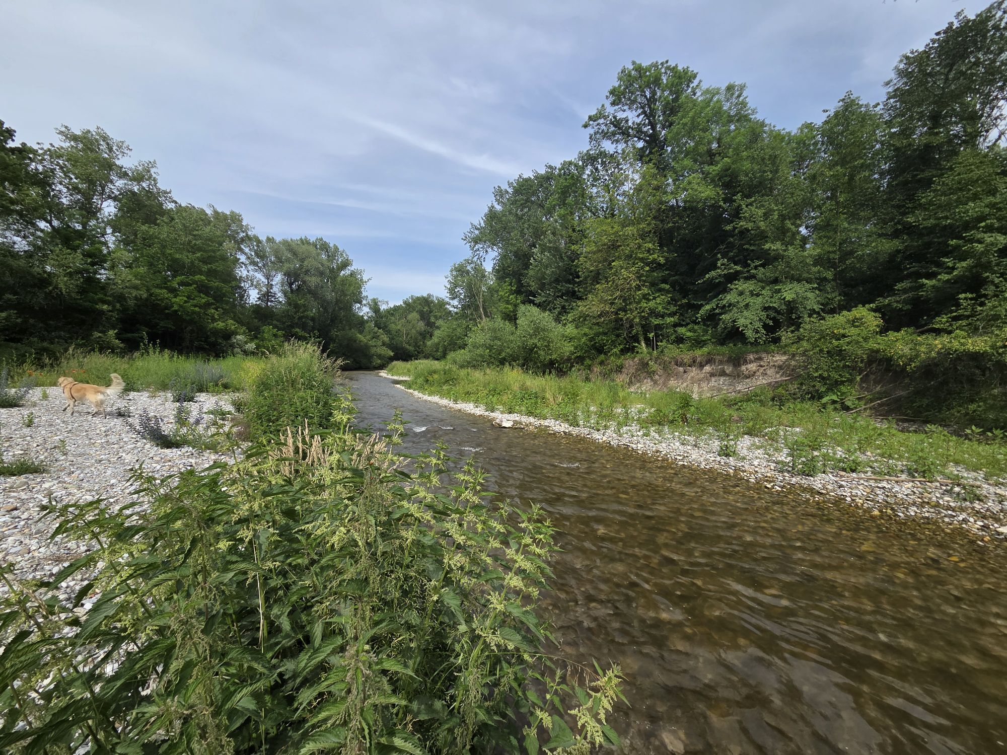
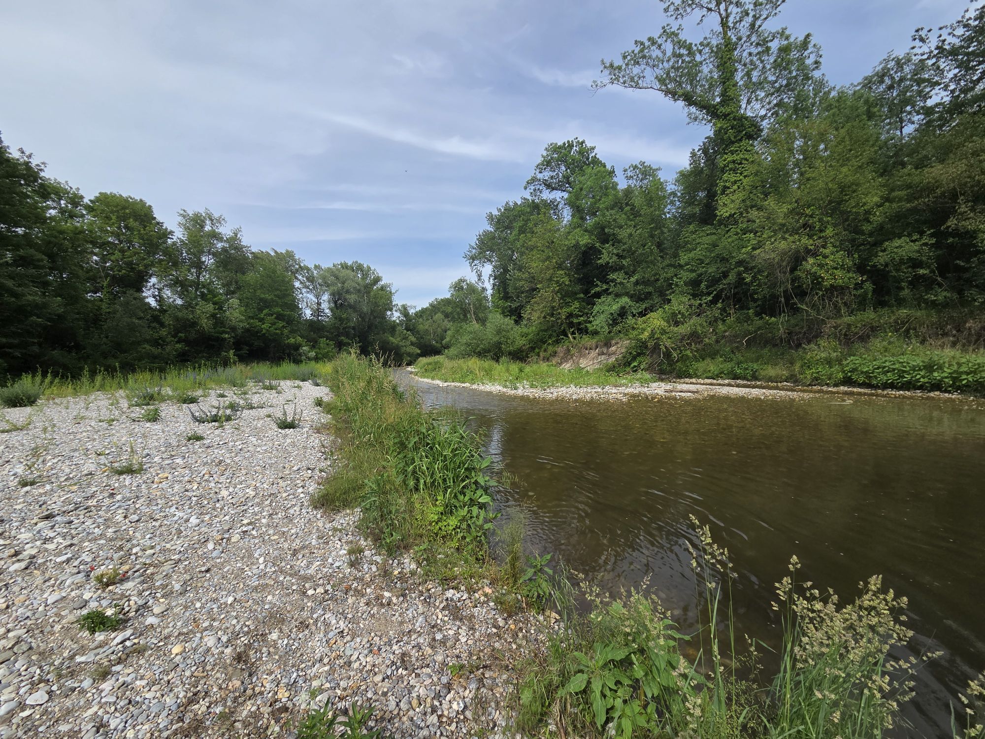
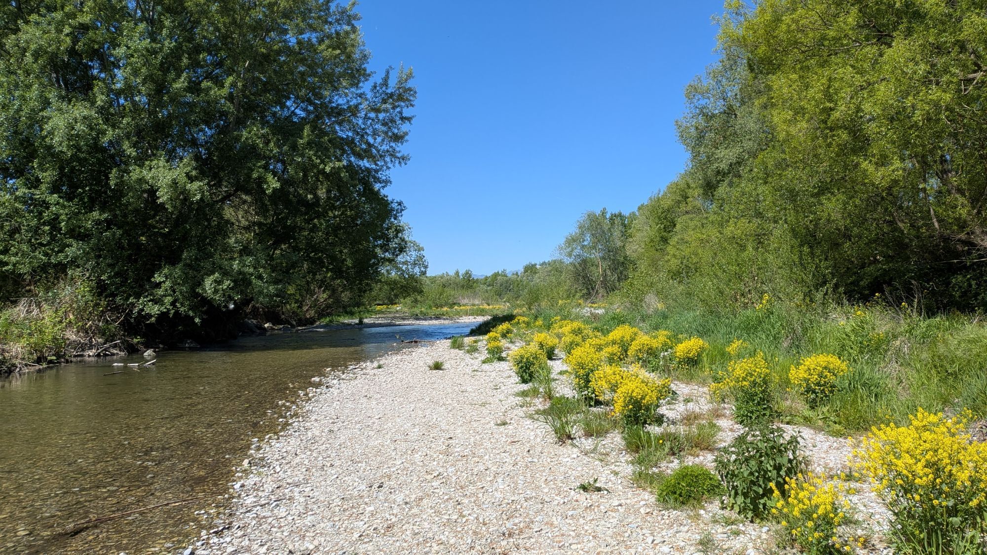
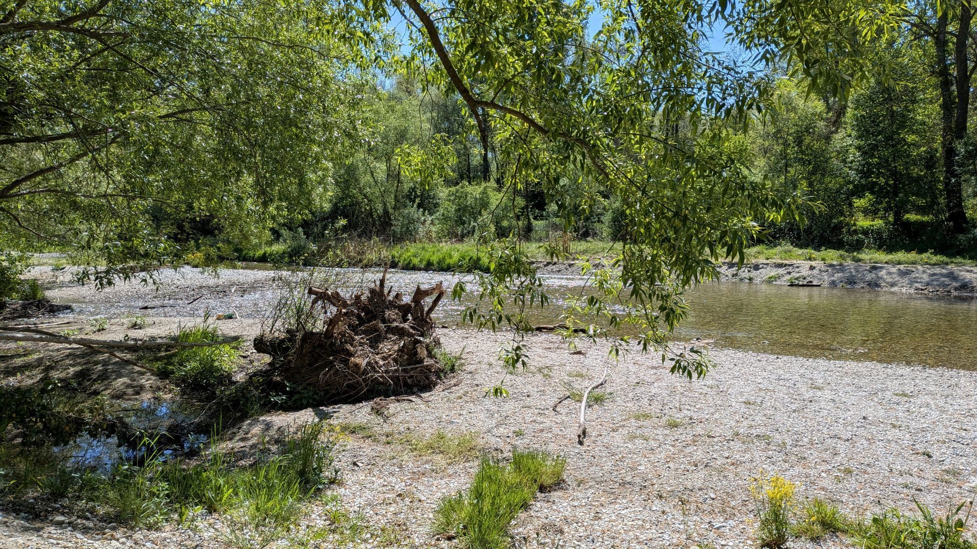
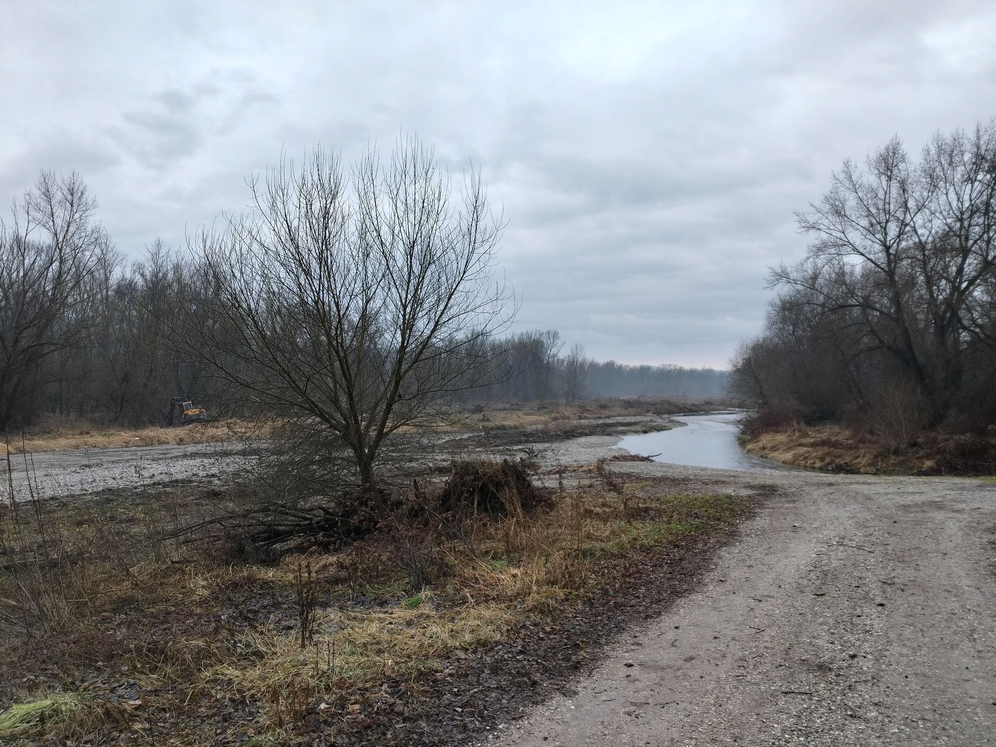
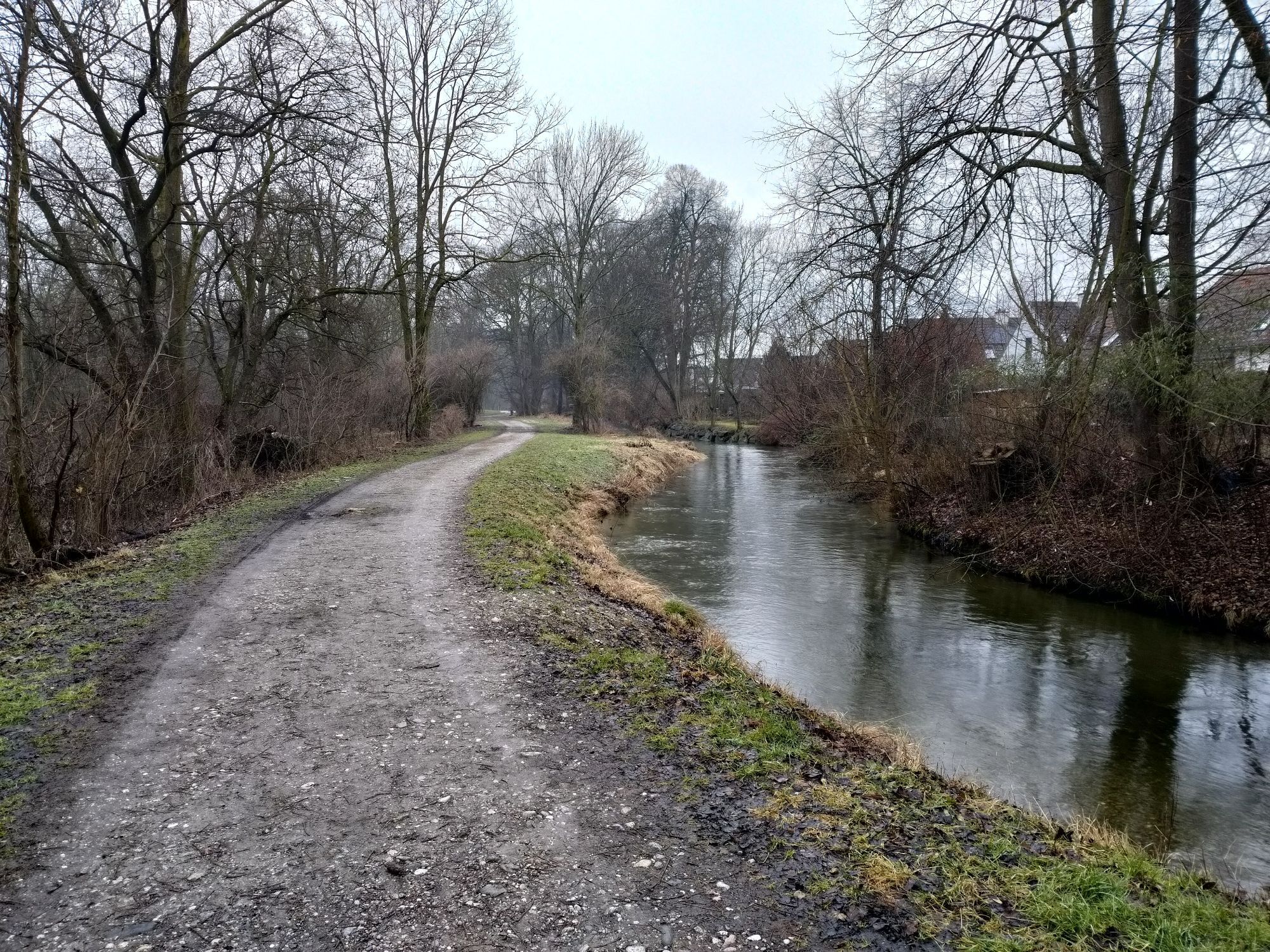


In this section, the flat Vienna Basin shapes the landscape. Wide fields, scattered meadows, and dispersed groves alternate. This landscape allows for wide views and provides inspiration! This landscape...
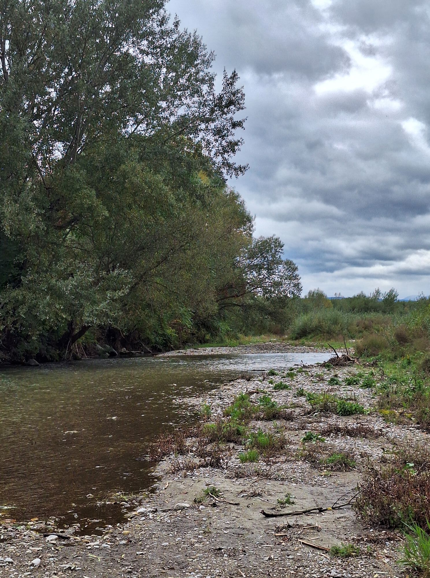
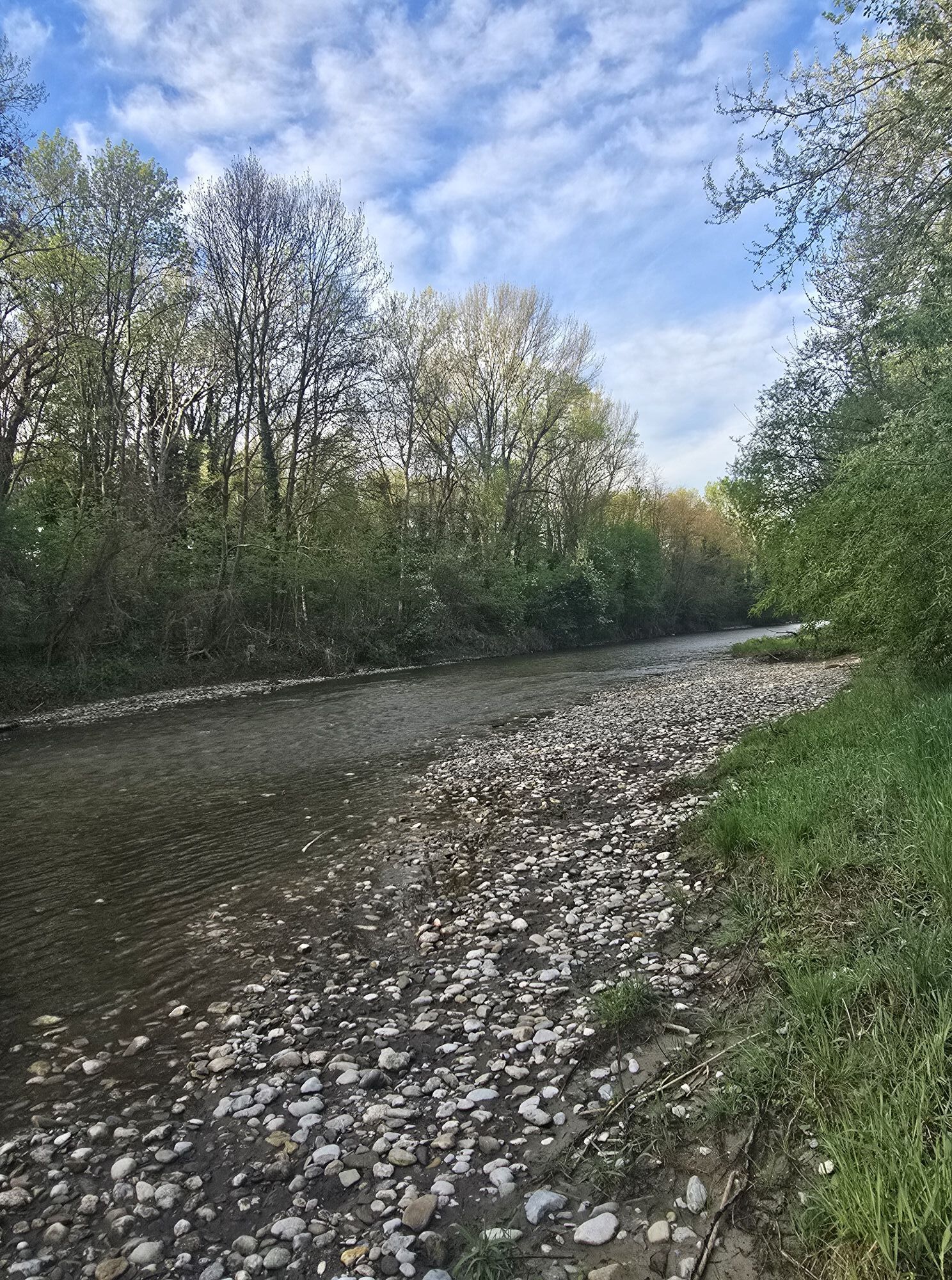
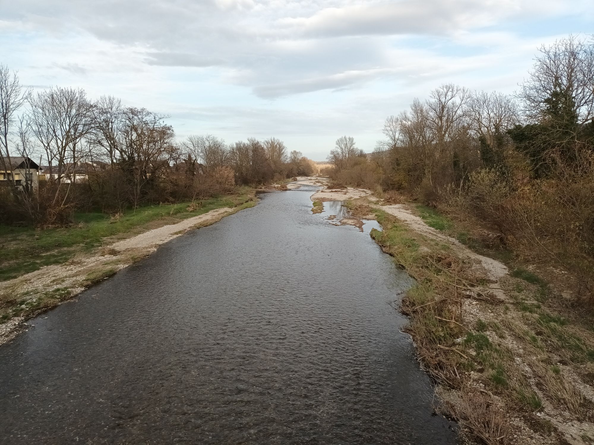
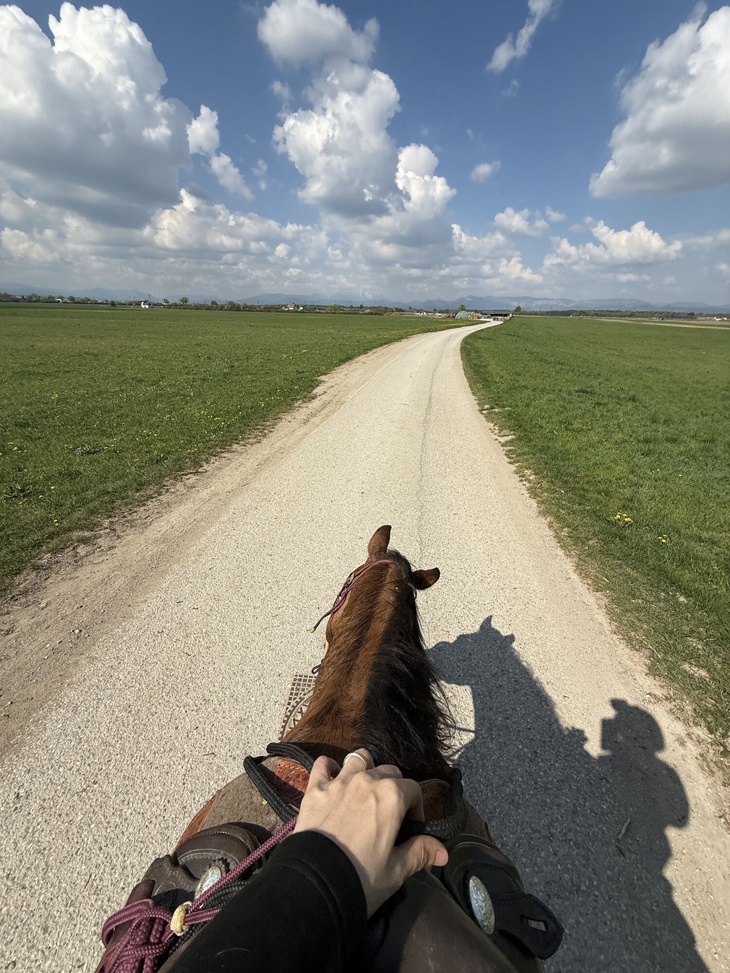
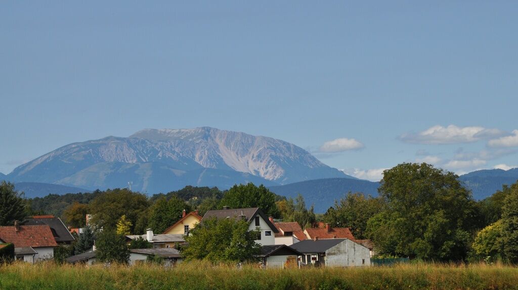
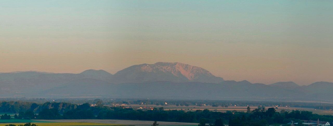
<p>In this section, the flat Vienna Basin shapes the landscape. Wide fields, scattered meadows, and dispersed groves alternate. This landscape allows for wide views and provides inspiration! This landscape is also the heart around which the Wiener Alpenbogen nestles. On this route, you hike along the Leitha to its source, the confluence of Schwarza and Pitten! The two most beautiful panoramic views are at the beginning of the hike, covering almost the entire Alps ridge with Sonnwendstein and Schneeberg at the center. The second view is a dreamy photo motif with the Schwarza riverbed in the foreground and Schneeberg in the background.</p>

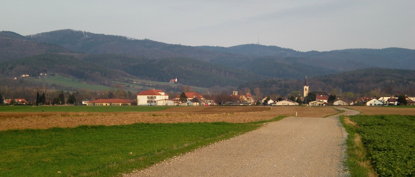
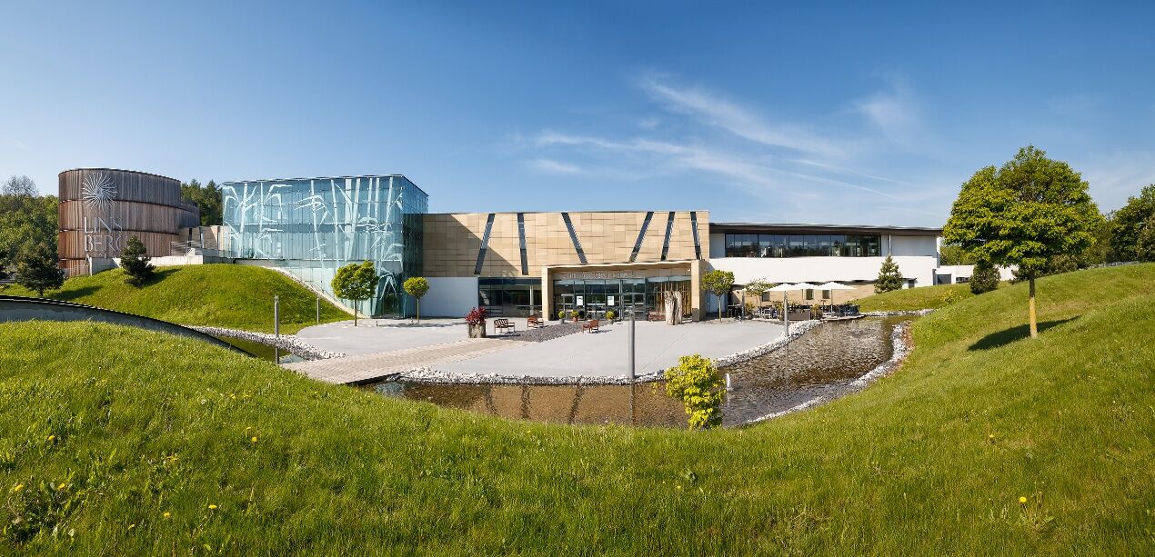

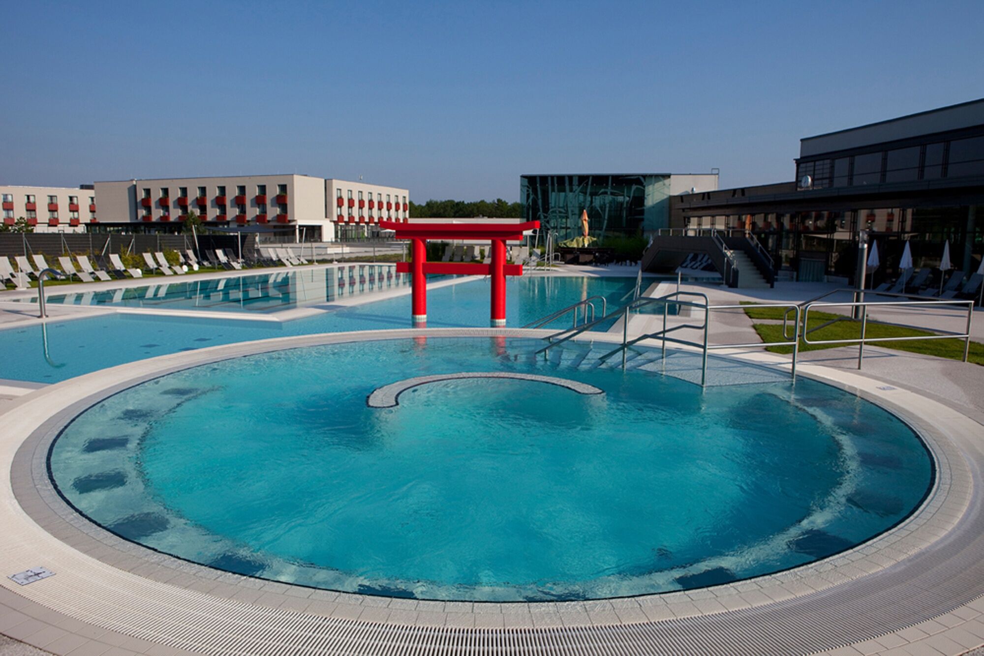

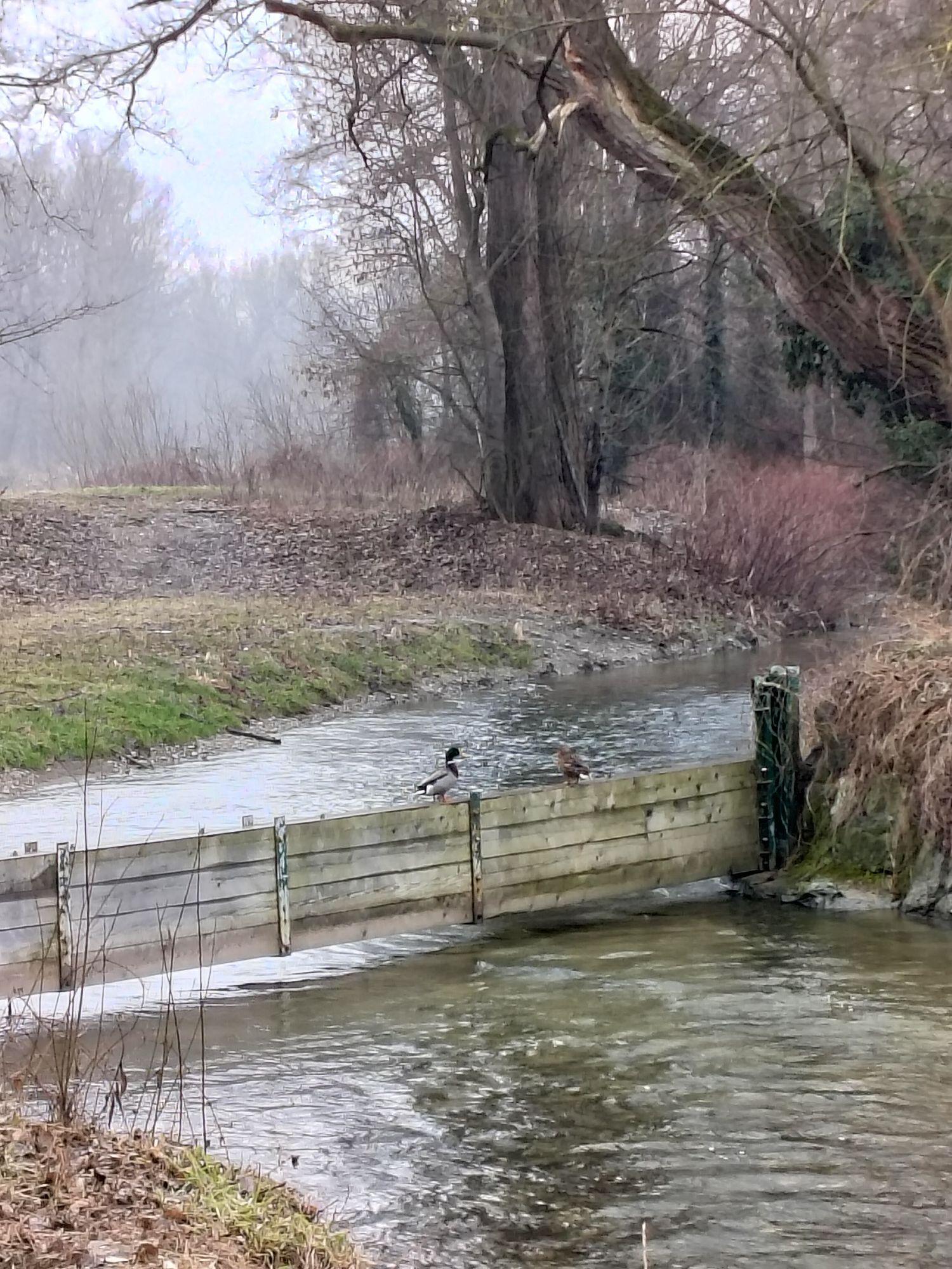
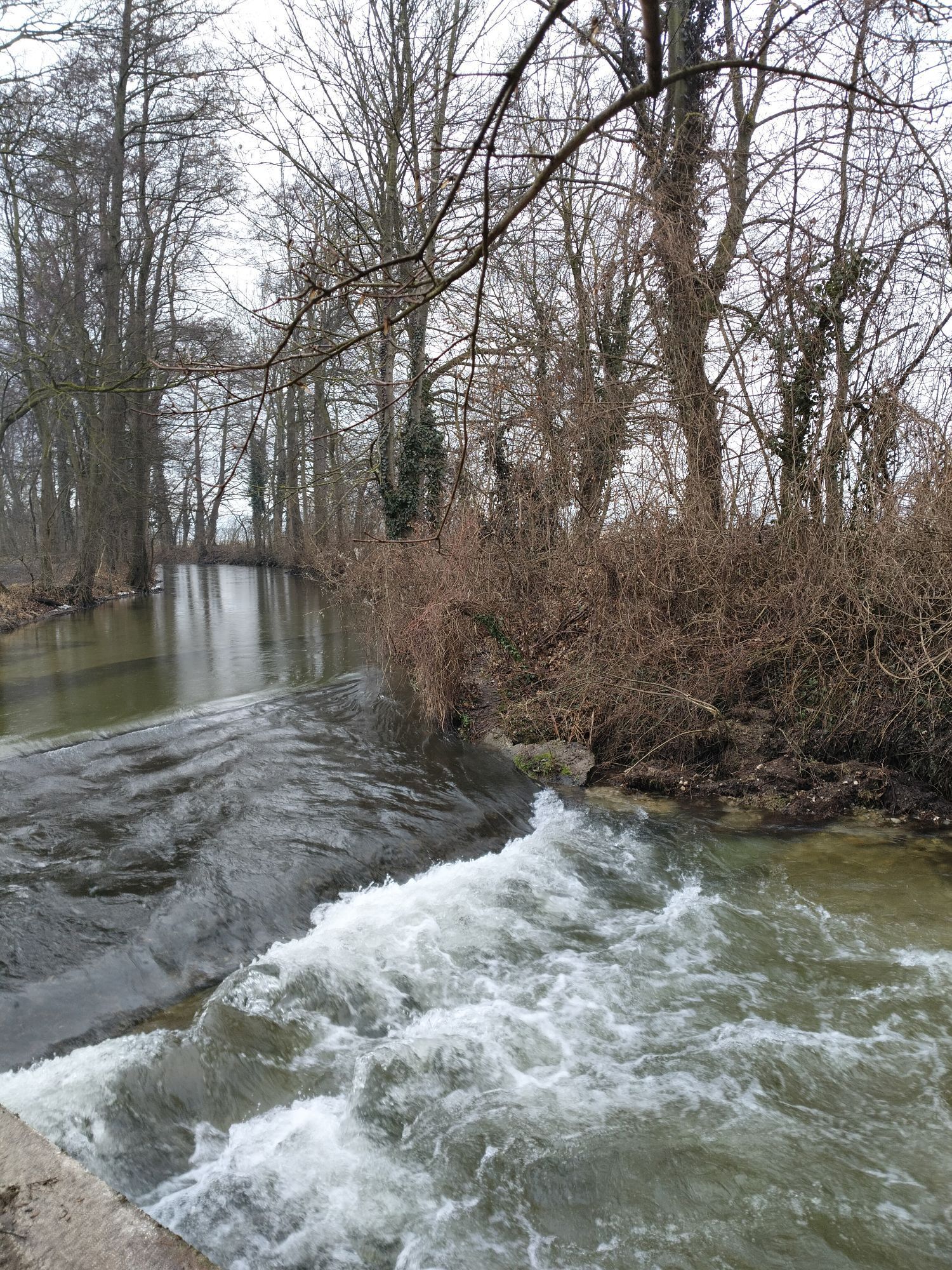
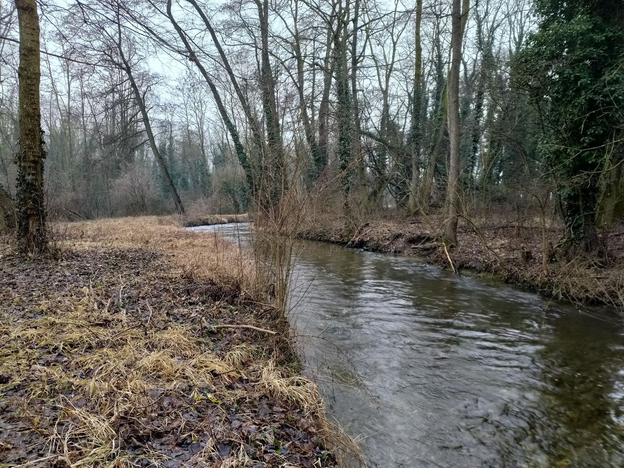
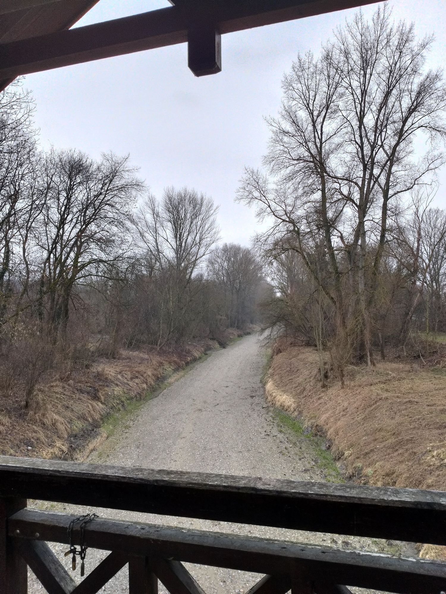
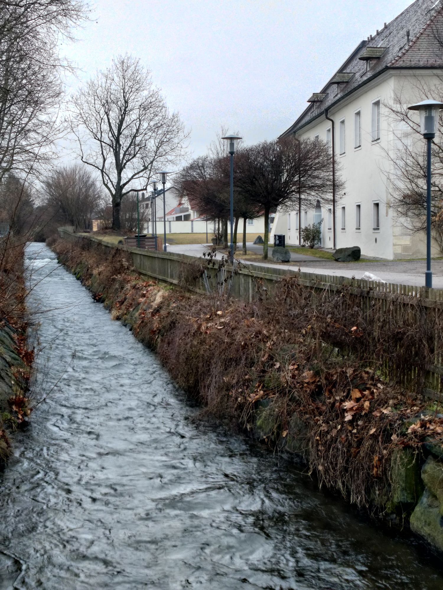
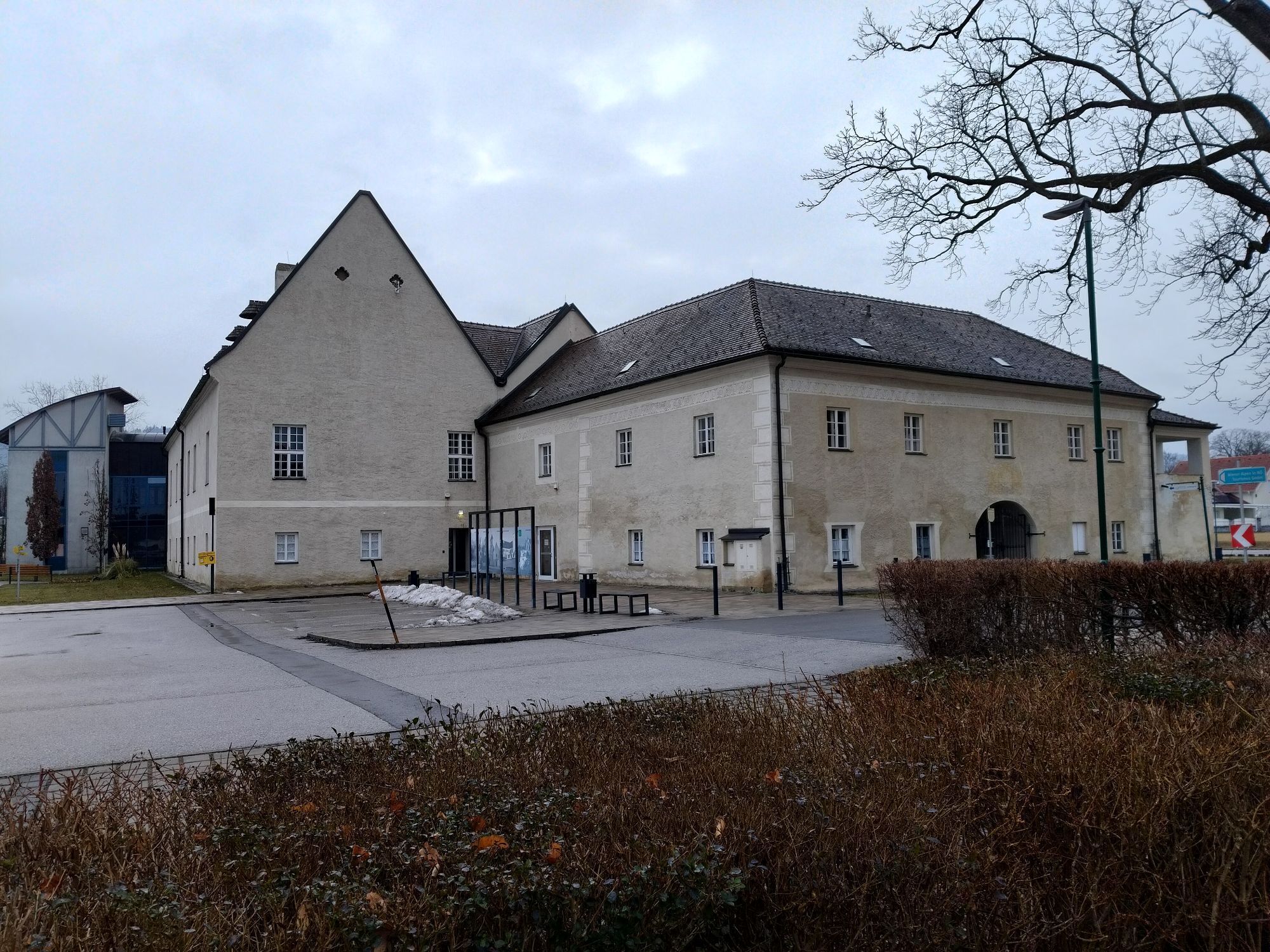
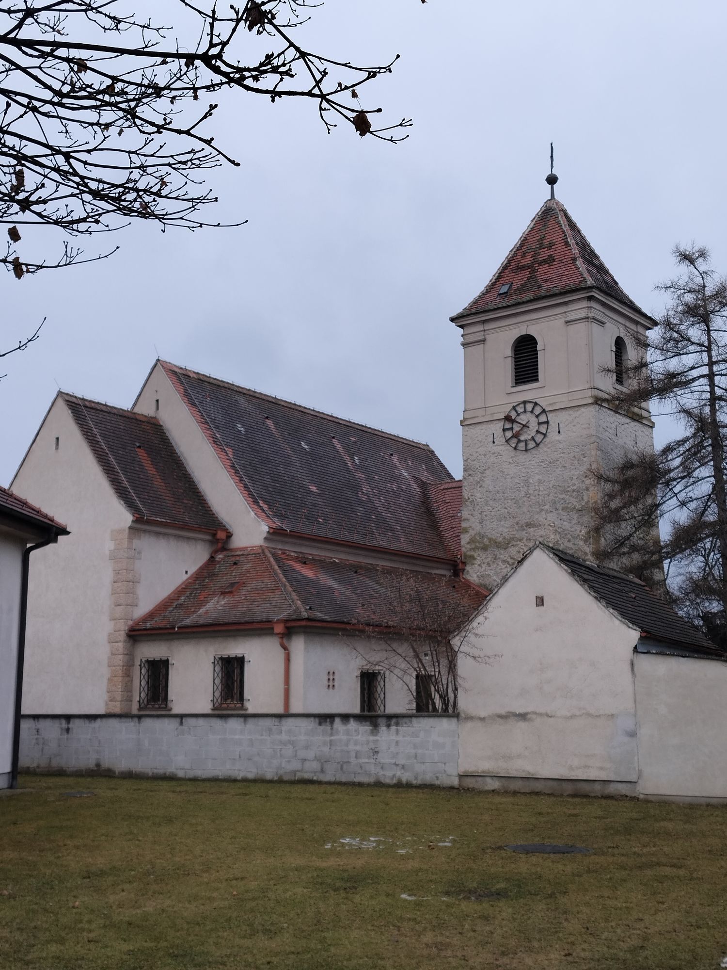
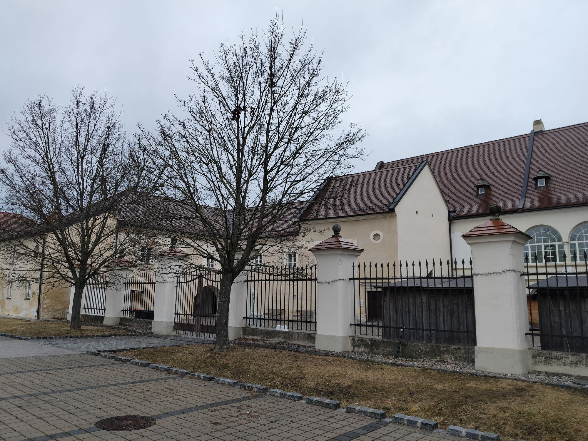
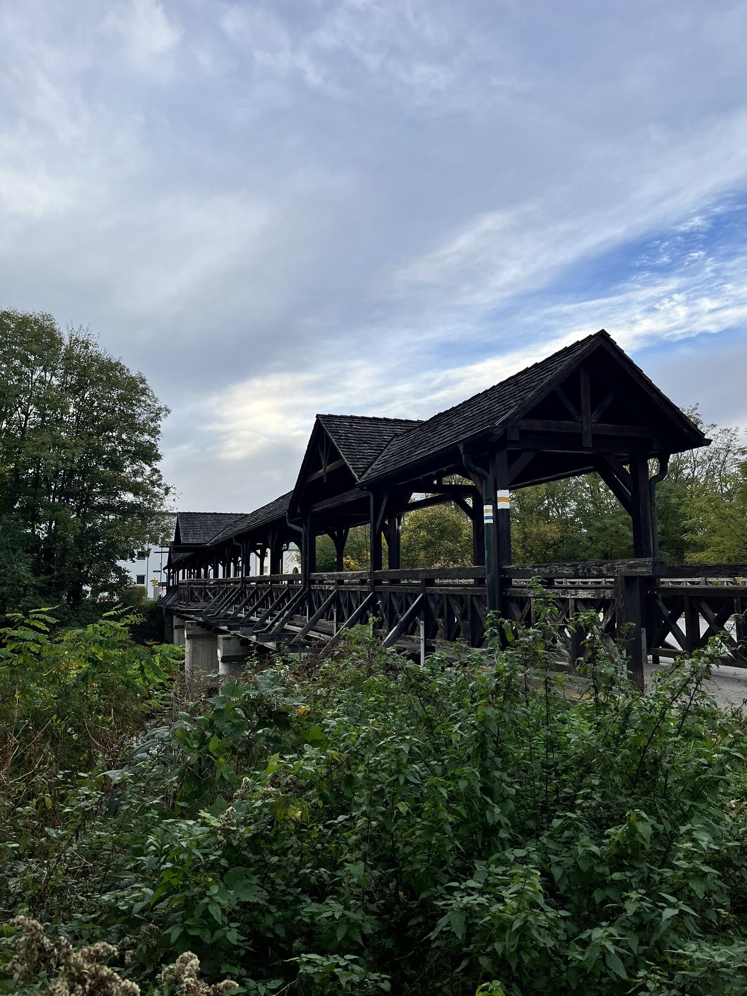
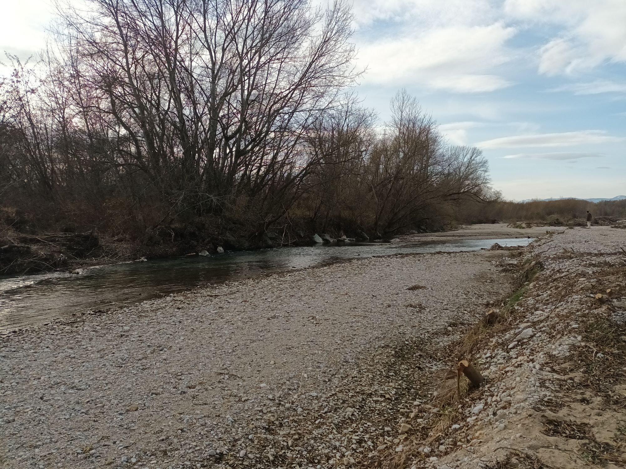
<p>The Regional Route A starts directly in front of Schloss Katzelsdorf. The first few meters lead back to the main street and eastwards to the Leitha. Just before the wooden bridge over the Leitha, opposite the Nepomuk Chapel, we turn right into Augasse towards Lanzenkirchen (also path KA1 and KA2). The path immediately turns into a pleasant forest trail. After about 20 minutes we cross the Mühlbach on the right and turn left after the bridge (also path LA2). We now follow the hiking trail, which subsequently leads us repeatedly to the Leitha. At the edge of Kleinwolkersdorf, the path merges into the paved Weidengasse. We go under Wiener Neustädter Straße and continue straight towards Lanzenkirchen and Bad Erlach. Shortly before the center of Lanzenkirchen, we see to the left some gravel banks on the Leitha, which are pleasant places to stay on hot summer days. We cross Ofenbachstraße, with the main square and parish church of Lanzenkirchen to the right, and follow the paved path close to the Leitha. The path turns into a footpath and follows the Leitha hiking trail along the river. Several easily accessible gravel banks also invite you to relax and bathe in the Leitha on hot days. Shortly after, the source of the Leitha is reached at the confluence of the Schwarza and Pitten rivers, with the source monument and the three Leitha witches on the right. To the right of this, we walk to the main street in Haderswörth. Slightly to the right is the Mühlendorfer inn, inviting you to stop by. However, we turn left at the main street. Beside the street, we follow a narrow path over the tracks to the roundabout, where we turn left towards Bad Erlach. Just before the tracks, the signposted footpath to Linsberg Asia Therme branches off to the right and thus to the end of Regional Route A; straight ahead is the Bad Erlach train station. In Bad Erlach, we reach the path at the Wiener Alpenbogen, which continues from here to Pitten and Thernberg. In the opposite direction, the path leads back over the Rosaliengebirge to Katzelsdorf.</p>
<p>Always bring suitable <strong>maps</strong>. Wear sturdy <strong>shoes</strong> appropriate for the route, bring sun and rain protection as well as water and a small snack. Take your <strong>mobile phone</strong> and save the mountain rescue emergency number: 140</p>
<p>Your hikes in the Vienna Alps should be a thoroughly enjoyable and safe experience. Please therefore note the following:</p><p><strong>Preparation </strong></p><p>Make sure when choosing the route that it matches your experience and <strong>fitness</strong>. Check the <strong>weather forecast</strong> beforehand. Weather in the mountains can change surprisingly quickly. Always set out equipped accordingly (e.g., rain protection).</p><p>Check whether the <strong>huts and snack stations</strong> you want to visit along the way are open. <strong>Inform</strong> someone about your route choice and planned return time before setting out.</p>
<p>Coming from Vienna or Graz on the A2, branch off at Wiener Neustadt onto the S4 towards Eisenstadt and take the Katzelsdorf exit. Then turn right and follow the signs to Schloss Katzelsdorf in Katzelsdorf.</p>
<p>Travel by train or bus, for example via Wiener Neustadt to Katzelsdorf station.</p><p>Further information is available at <a href="www.oebb.at">www.oebb.at</... </p>
<p>Parking is available in the forecourt of Schloss Katzelsdorf.</p>
Also explore the connecting routes:
WAB - Regional Route B: Krumbach - Maria Schnee
Vienna Alps in Lower Austria, www.wieneralpen.at, +43 / 2622 / 78960
Tourism Office Thermengemeinden, www.thermengemeinden.at, +43 / 2627 / 81362
Combine your hike with a stay at the Linsberg Asia Therme. On hot summer days, a foot bath in the Leitha is recommended.
Priljubljeni izleti v okolici
-
4.5
Bucklige Welt: Auf dem Pittentaler Klettersteig zum Türkensturz
srednjaVia ferrata 1.96 km -
4.8
Seebenstein - Türkensturz - Burg Seebenstein
svetlobaPohodništvo 7.50 km -
4.2
Bergkraxler Klettersteig
srednjaVia ferrata 3.35 km -
4.3
Türkensturz Rundwanderung
srednjaPohodništvo 2.56 km -
4.3
Naturlehrpfad Katzelsdorf
svetlobaPohodništvo 3.81 km -
4.5
To the Wiesen/Lanzenkirchen observation tower from the Rosalia
svetlobaPohodništvo 4.25 km -
3.9
Größenberg und Eisensteinhöhle - Angelos Touren
svetlobaPohodništvo 9.83 km -
4.7
Hubertuskapelle Piesting - Höhlturmrunde
svetlobaPohodništvo 6.39 km -
4.6
M32 On the Gspitzter Riegel from Bad Sauerbrunn
srednjaPohodništvo 8.73 km -
4.2
Türkensturz große runde
srednjaPohodništvo 11.4 km
Pohodništvo in sledenje


Ne zamudite ponudb in navdiha za naslednje počitnice
Vaš e-poštni naslov je bil dodan na poštni seznam.





