







Circular hiking trail in Mönichkirchen
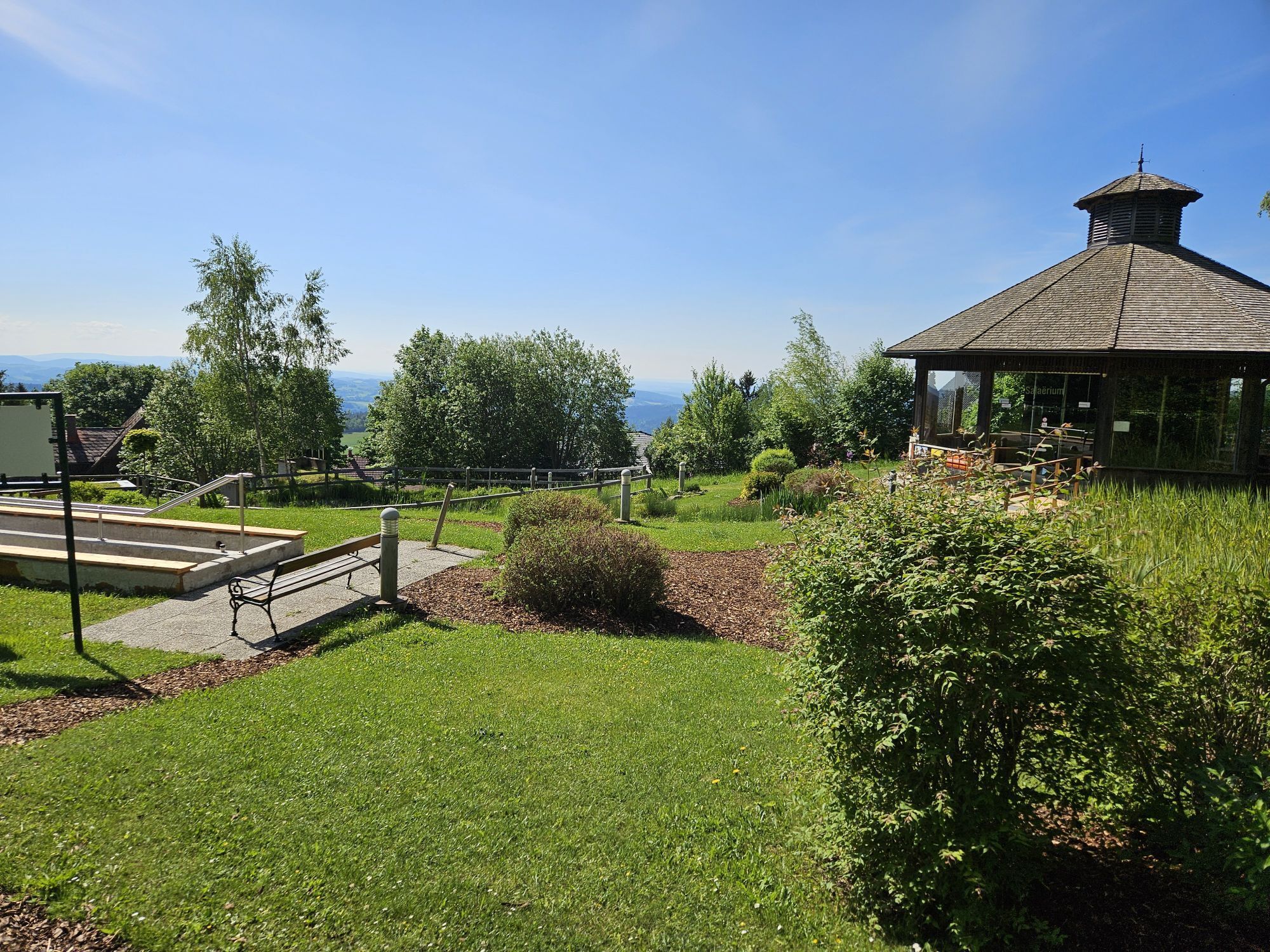
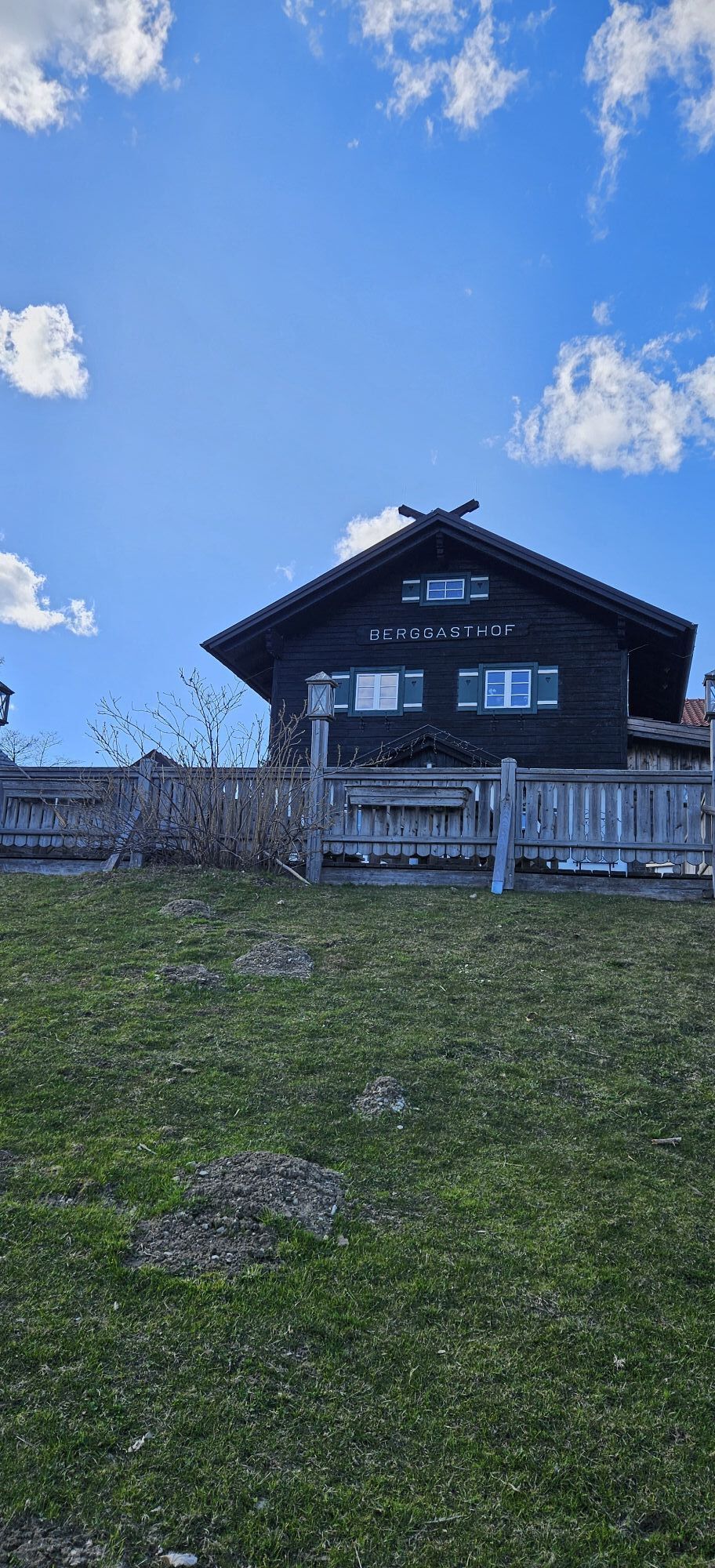


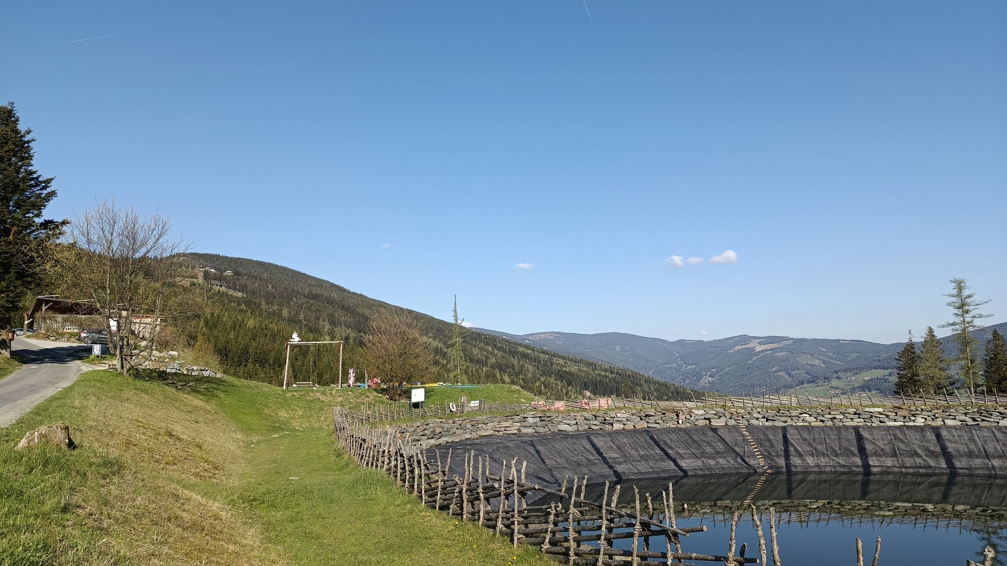
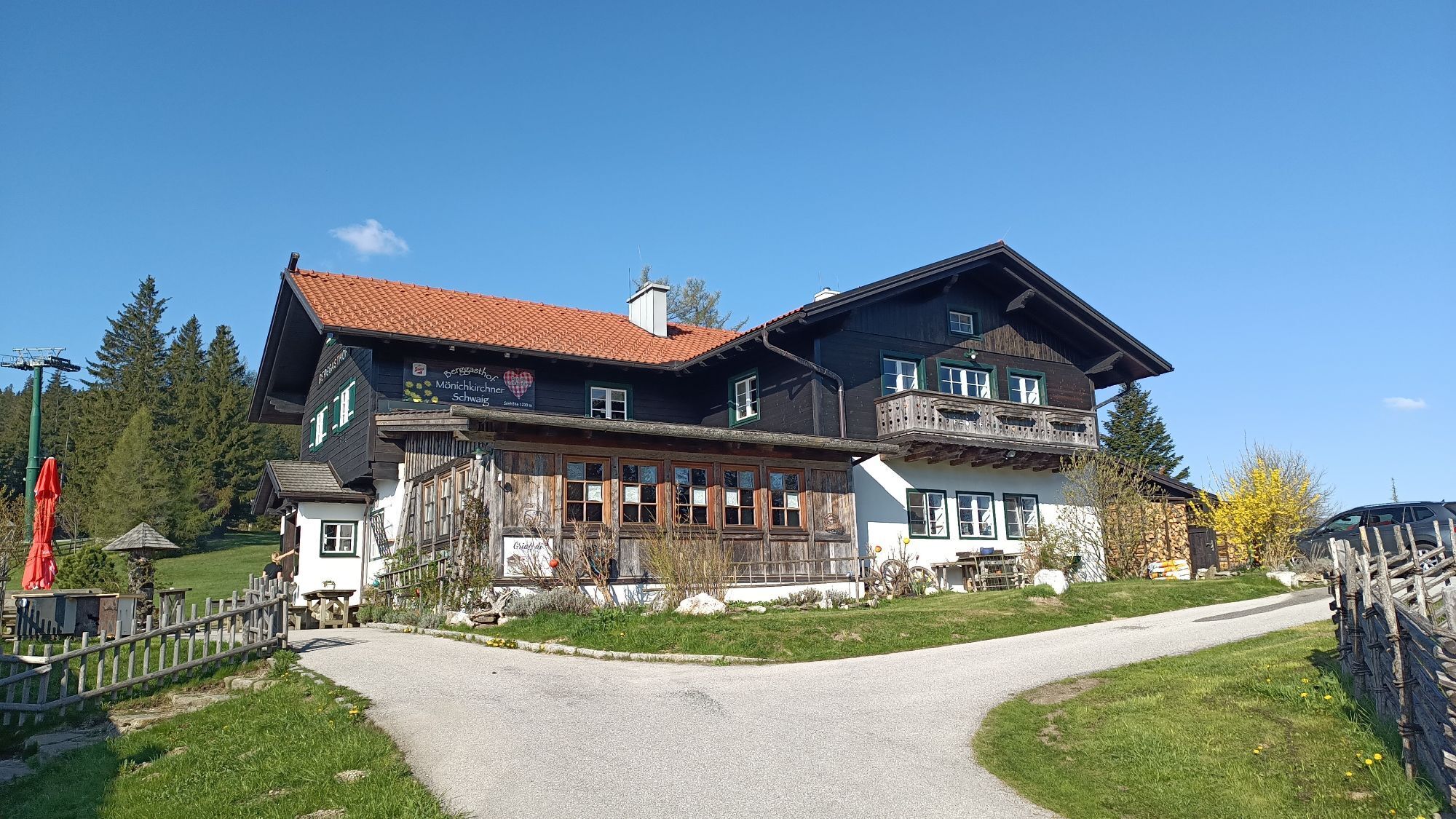
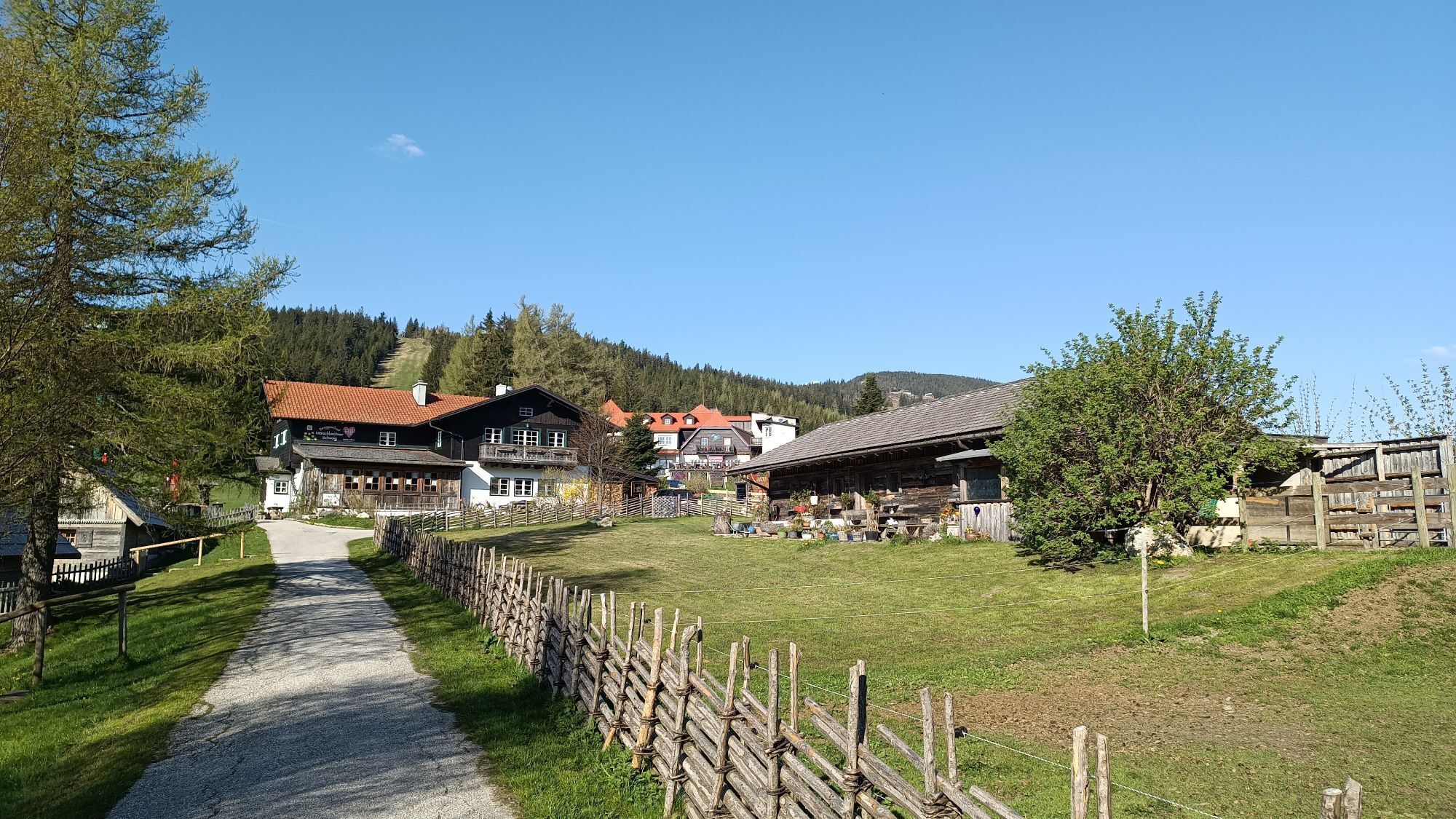
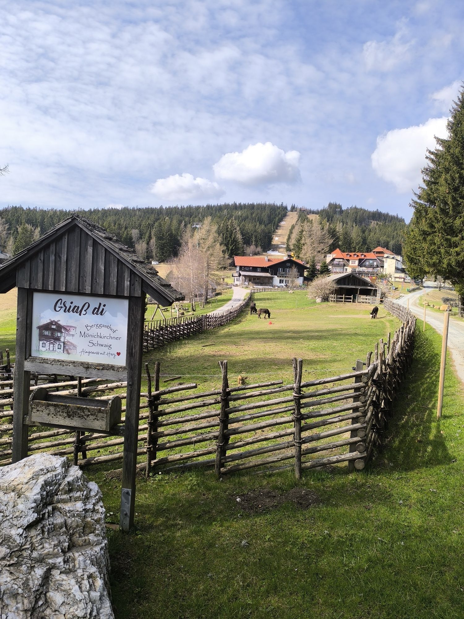

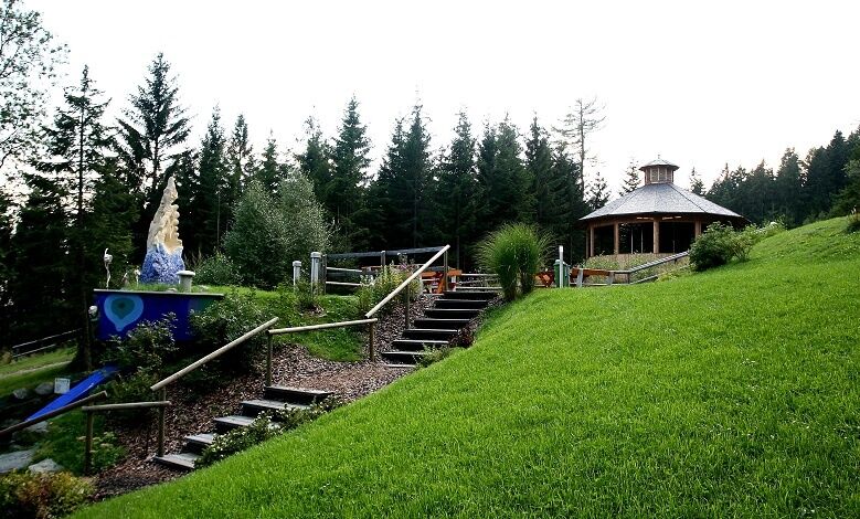
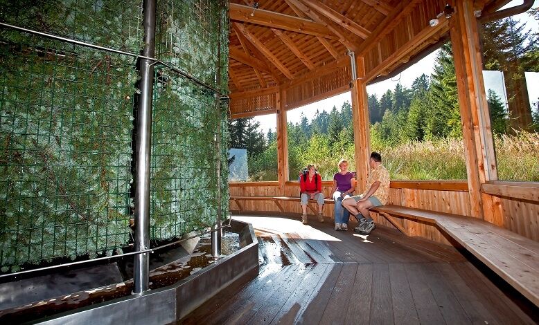
From the parking lot of the Erlebnisalm Mönichkirchen continue to the water park, where you can refresh yourself at the Kneipp pool, breathe deeply in the salaerium and simply relax. Then continue on the...
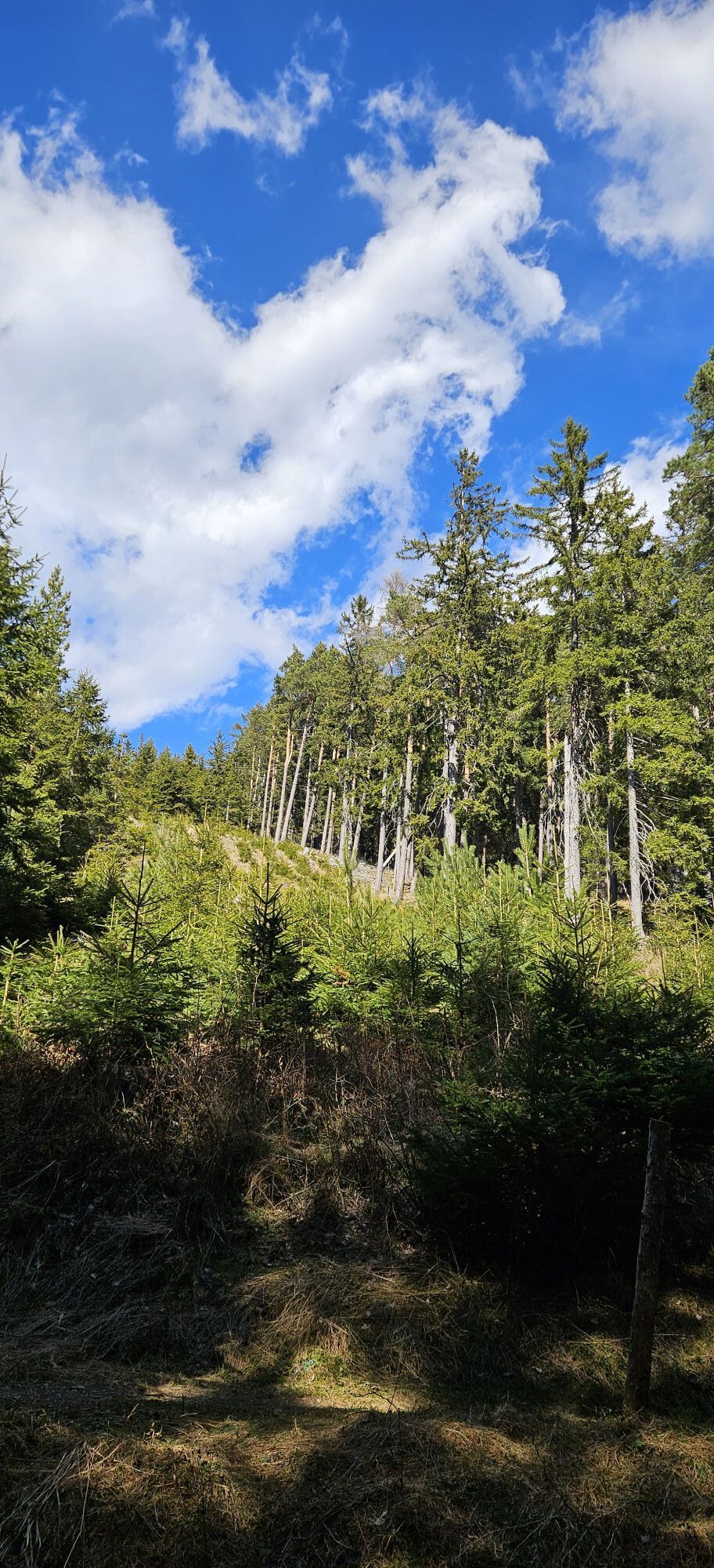
<p>From the parking lot of the Erlebnisalm Mönichkirchen continue to the water park, where you can refresh yourself at the Kneipp pool, breathe deeply in the salaerium and simply relax. Then continue on the themed path »Life Water« to the Mönichkirchner Schwaig, where there are two places to eat. Return via the Stier Luckn back to the parking lot in Mönichkirchen.</p>


<p>Always take suitable maps with you. Wear sturdy shoes appropriate for the route. Take your mobile phone with you and save the emergency number of mountain rescue: 140</p><p><strong>Preparation</strong></p><p>Make sure when choosing the route that it matches your experience and fitness. Check the weather forecast beforehand. The weather in the mountains can change surprisingly quickly. Always start out accordingly equipped (e.g. rain protection).</p><p>Check whether the inns you want to visit on the way are open. Inform someone about the chosen route and your planned return before you start.</p>
<p>From Vienna: A2 South Motorway through Pittental to the Edlitz-Aspang exit, continue on the Wechselbundesstraße B54 towards Aspang, continue on B54 to Mönichkirchen.</p><p>From Graz: On the A2 South Motorway exit Zöbern towards Aspang - to Mönichkirchen via B54, or also via Pinggau exit and B54 Wechselbundesstraße.</p>
<p>From Aspang-Markt train station with line 371 to the hotel Thier bus stop in Mönichkirchen</p><p><a href="anachb.vor.at/">Route planner VOR AnachB</a></p>
<p>Parking lot of the Erlebnisalm Mönichkirchen</p>
Many other tourist facilities are available to guests: the Erlebnisalm Mönichkirchen, the Wexl Arena St. Corona, the Hamari climbing park in Mönichkirchen, and of course the themed trails Forest & Hunting, Alm & Pasture, Life Water, White Water trail, as well as the newly marked hiking trails in the Wechsel region with a total length of over 500 km.
Further information:
Market town Mönichkirchen
Municipal office No. 18
2872 Mönichkirchen
Tel. 02649/20925
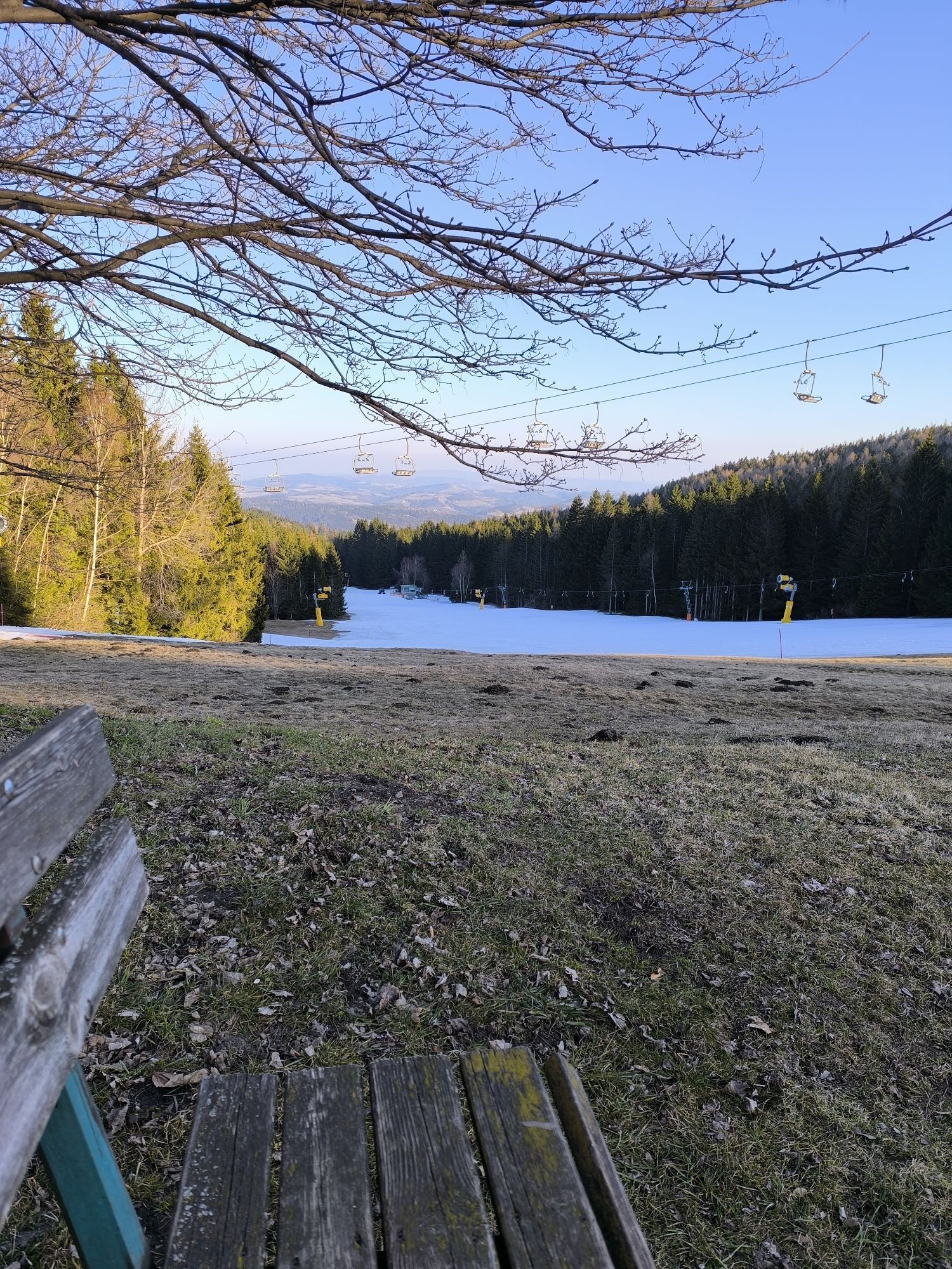
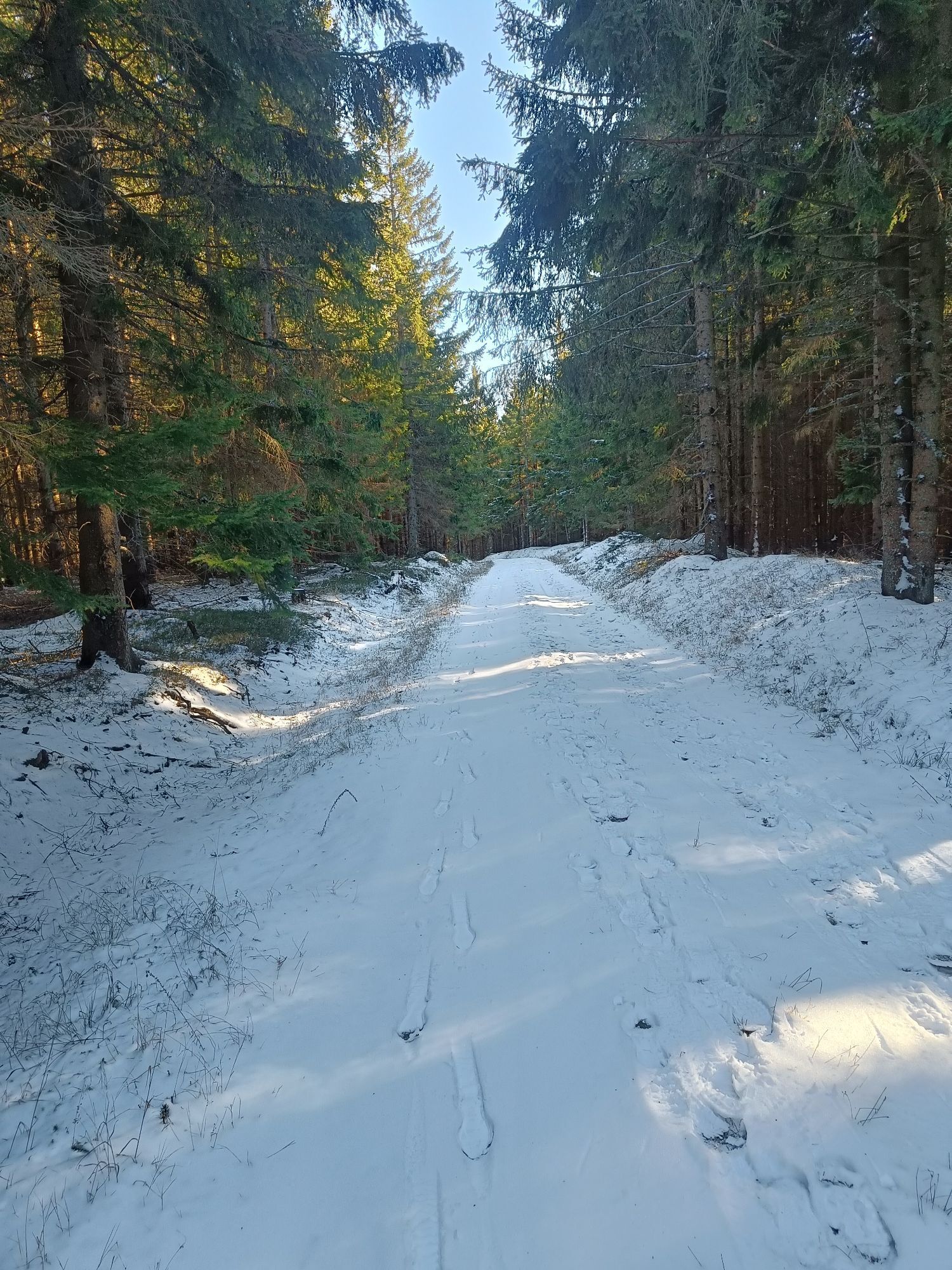
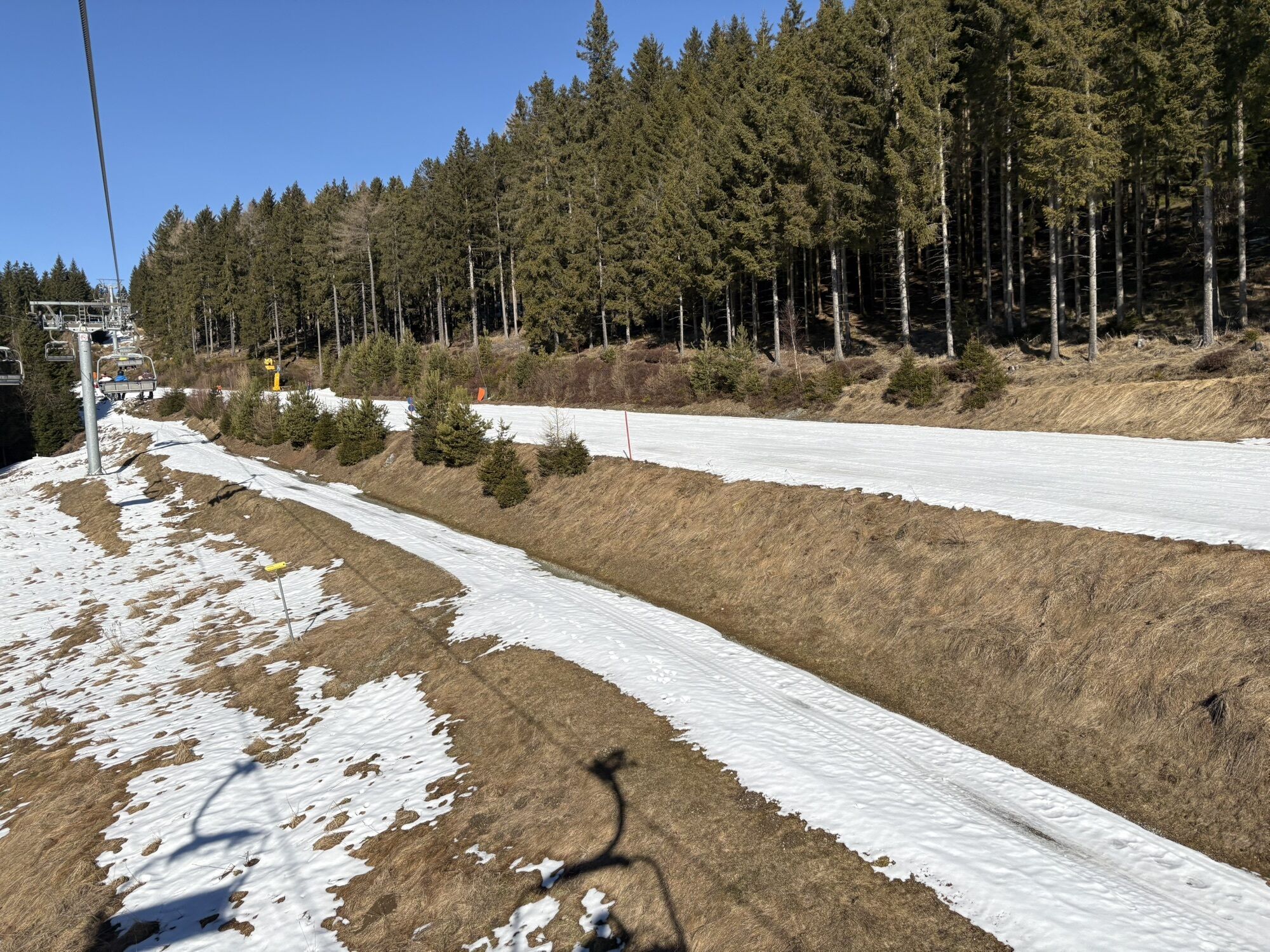
Also walkable in winter with snowshoes! Rental at Tut gut! hiking hosts!
Places to eat: Kulinaria, Alpenhotel Enzian with large playground or Berggasthof Mönichkirchner Schwaig
Pridobite vpogled
Vedno v živo na mestu z več kot 9.500 spletnimi kamerami. bergfex Kot uporabnik Pro si lahko zdaj ogledate ustrezne spletne kamere za številne izlete v aplikaciji izleti iz. Tako si lahko neposredno ogledate trenutne razmere.
Priljubljeni izleti v okolici
-
4.8
Hochwechsel-Runde, Waldbach-Mönichwald
srednjaTrailrunning 17.9 km -
3.7
Schwaigen Rundwanderung
svetlobaPohodništvo 8.24 km -
3.8
St. Corona - Kampstein
srednjaPohodništvo 10.7 km -
4.6
Mariensee - Wildwasserweg - Marienseer Schwaig
svetlobaPohodništvo 8 km -
4.5
Rabl-Kreuz-Hütte auf den Hochwechsel
svetlobaSnežni čevlji 9.87 km -
4.5
Hochwechsel
srednjaPohodništvo 14.3 km -
4.7
Hochwechsel - Tour
Pohodništvo 18.5 km -
4.7
Hochwechsel und Arabichl ab/bis Mariensee
srednjaPohodništvo 17.5 km -
4.0
Bucklige Welt: Burg Grimmenstein und Kulmriegel
svetlobaPohodništvo 10.5 km -
4.7
Aspang Hochwechsel Panorama-Runde Wexl Trails mit "The WU" 2018
srednjaMountainbike 57.5 km
Pohodništvo in sledenje


Ne zamudite ponudb in navdiha za naslednje počitnice
Vaš e-poštni naslov je bil dodan na poštni seznam.





