






Through the gorge to the panoramic view
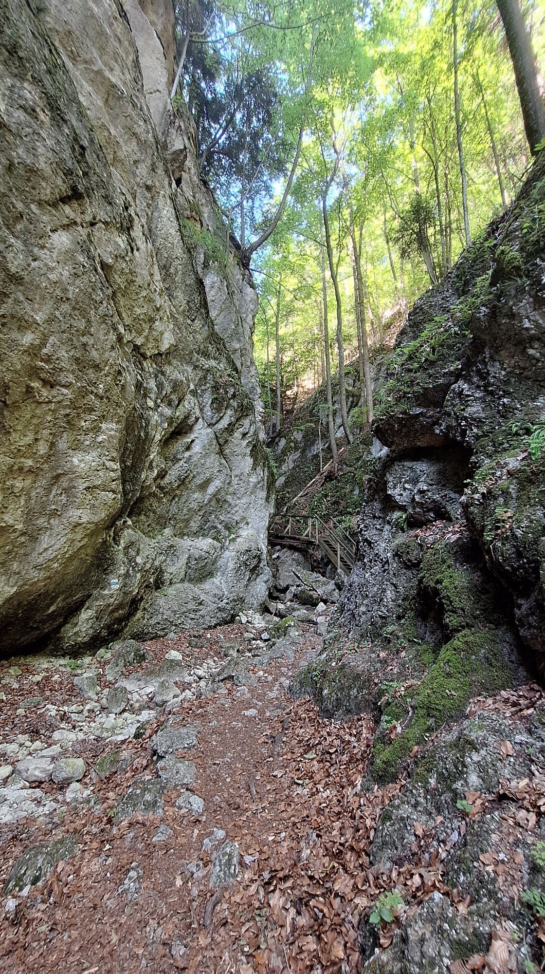
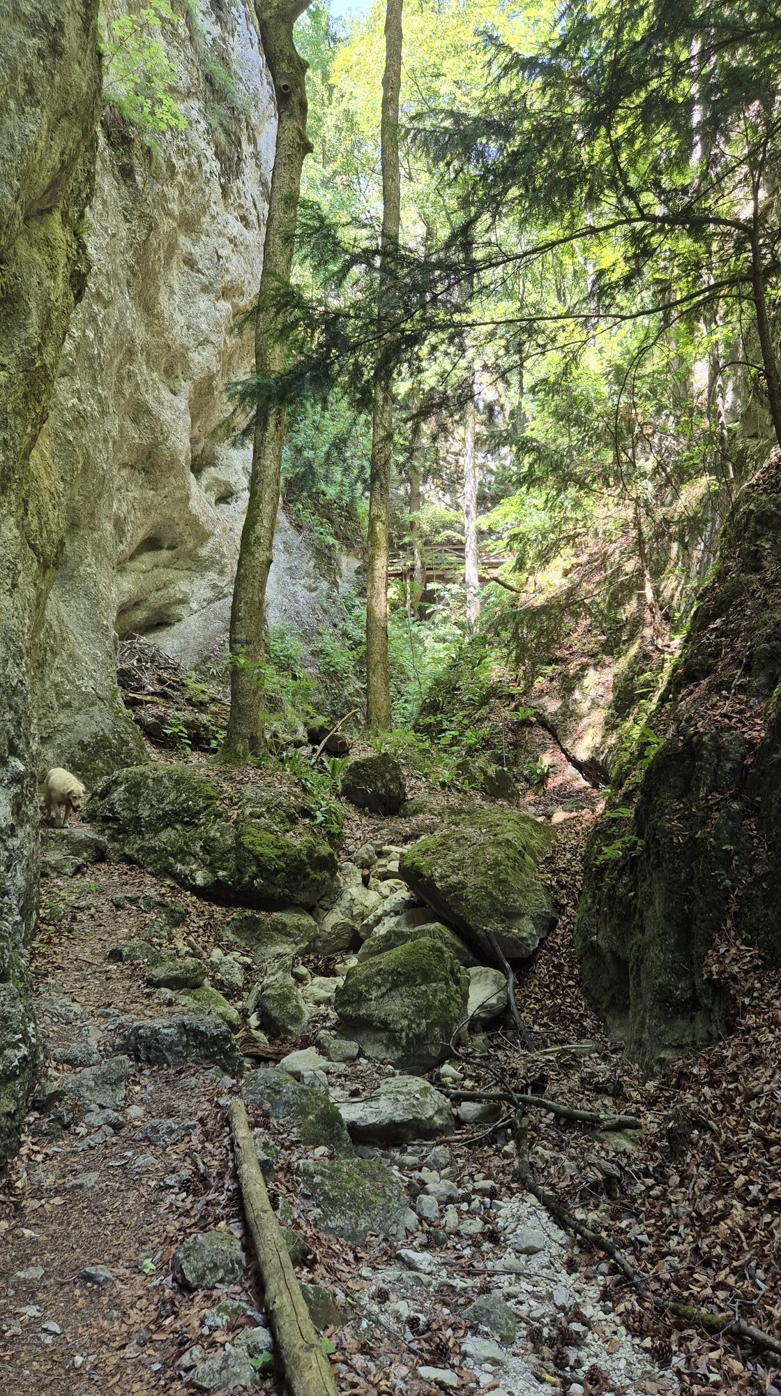
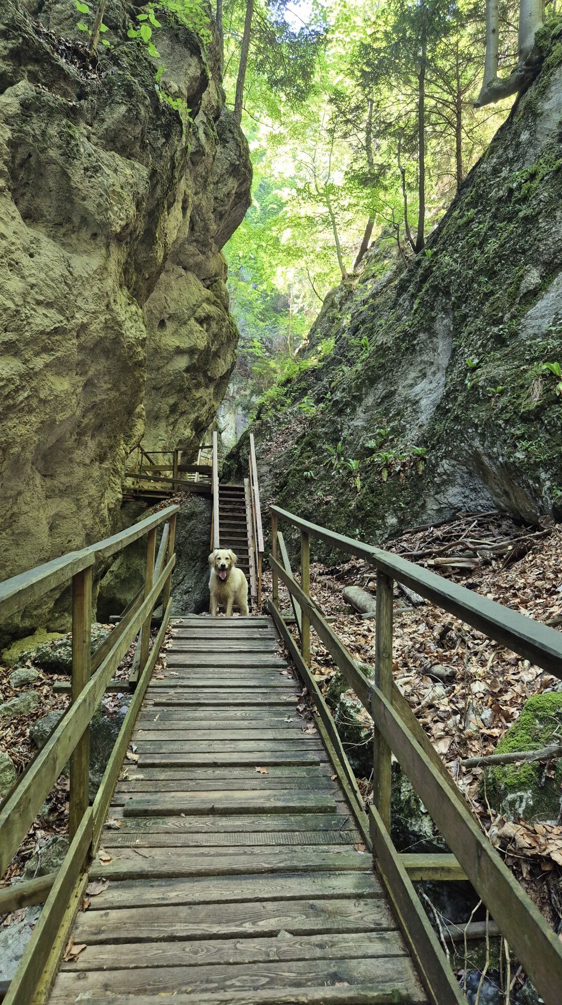
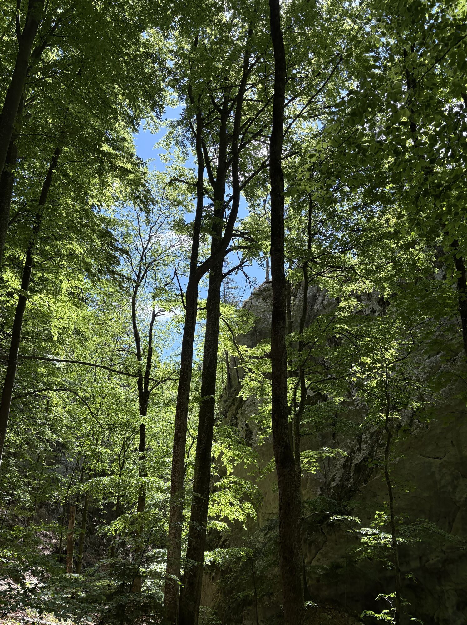
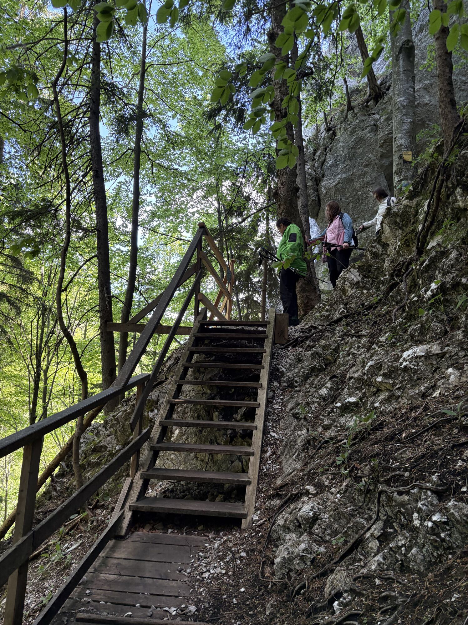
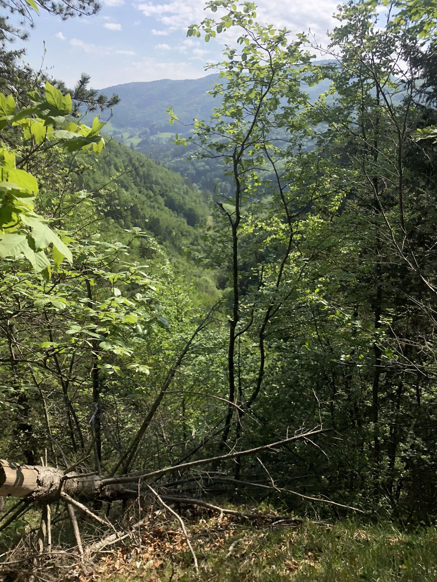
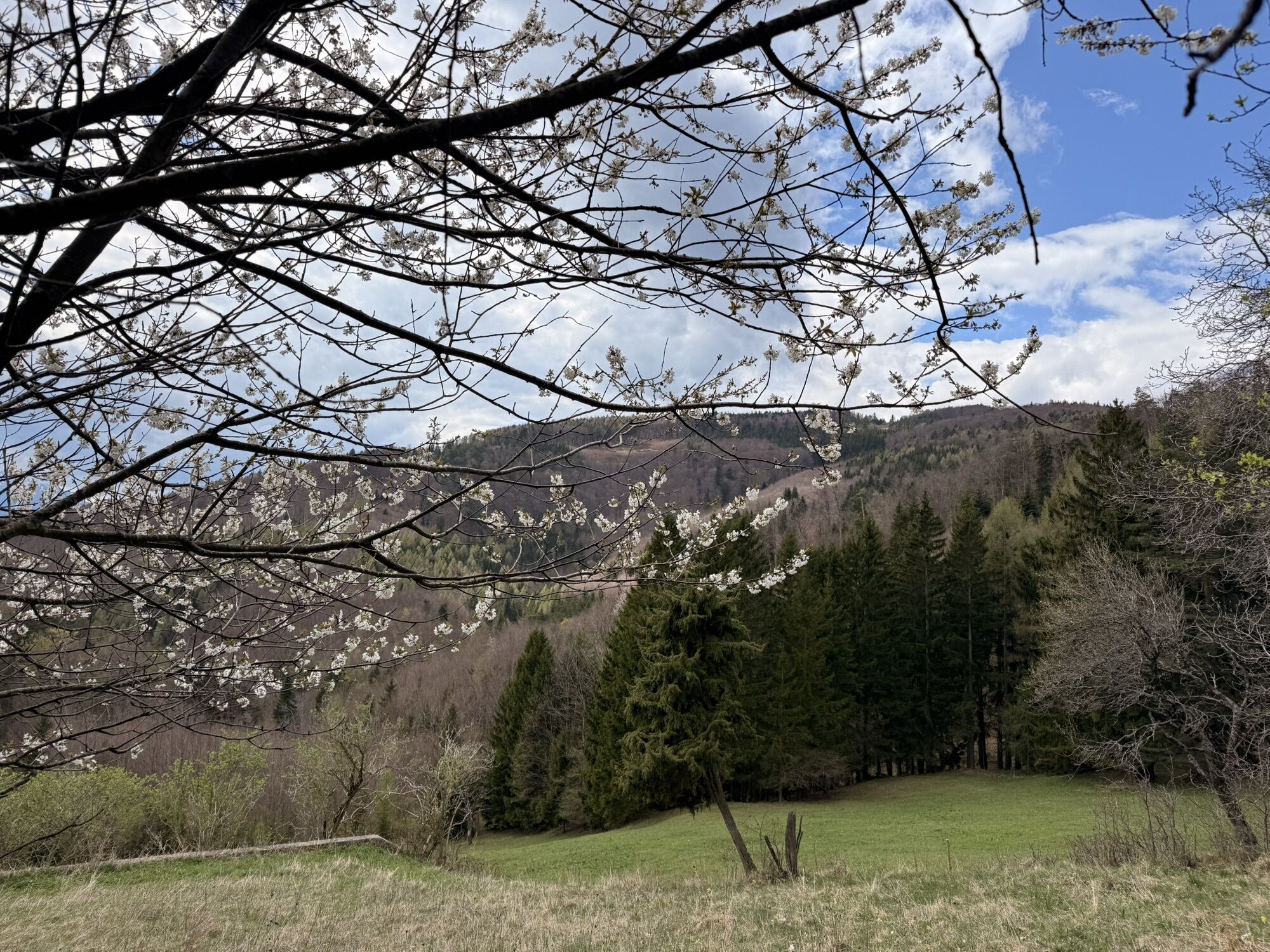
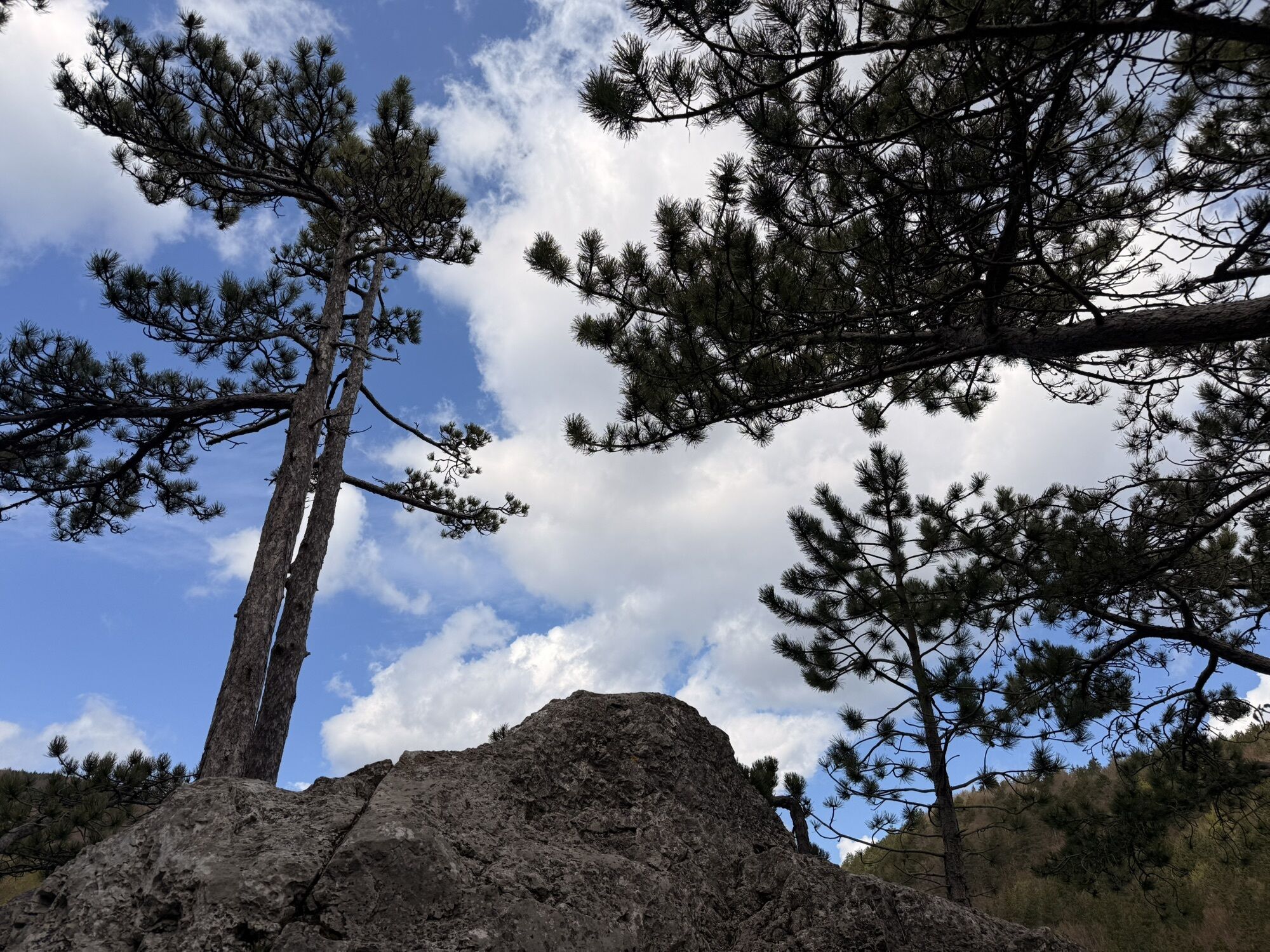
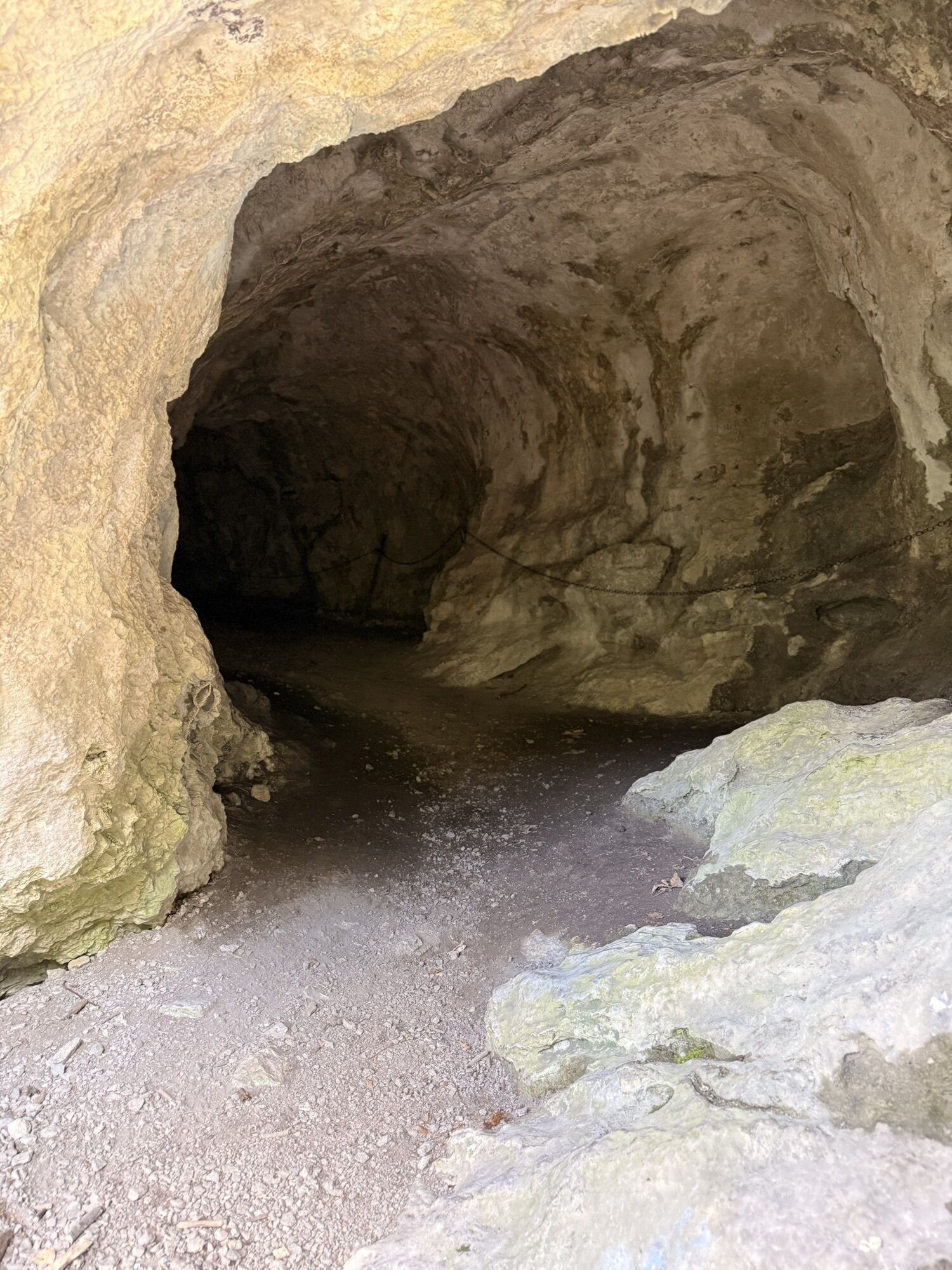
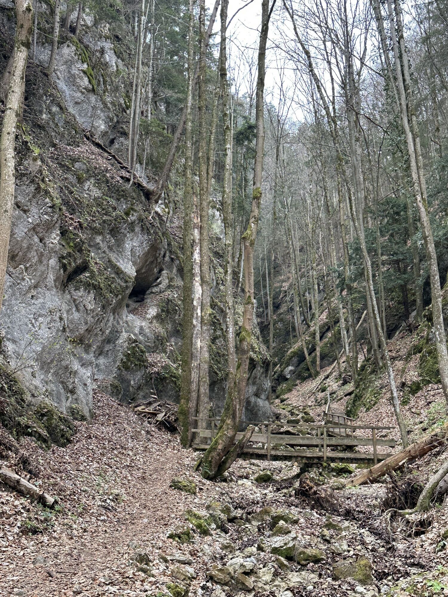
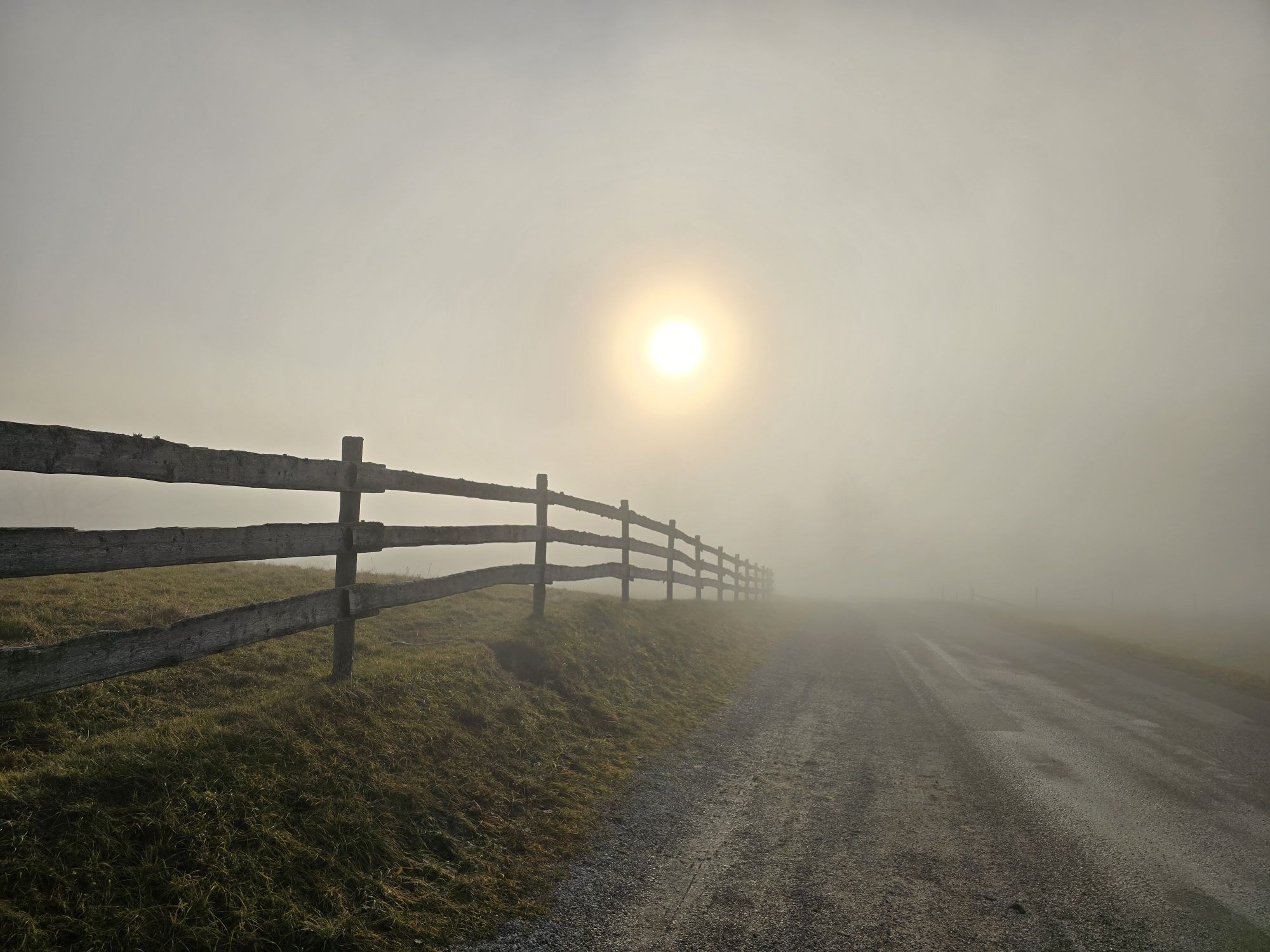
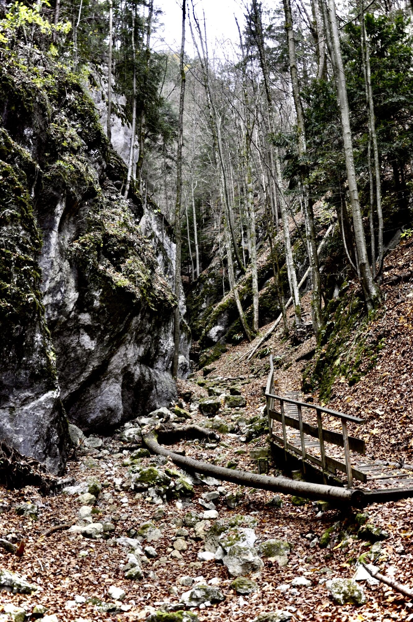
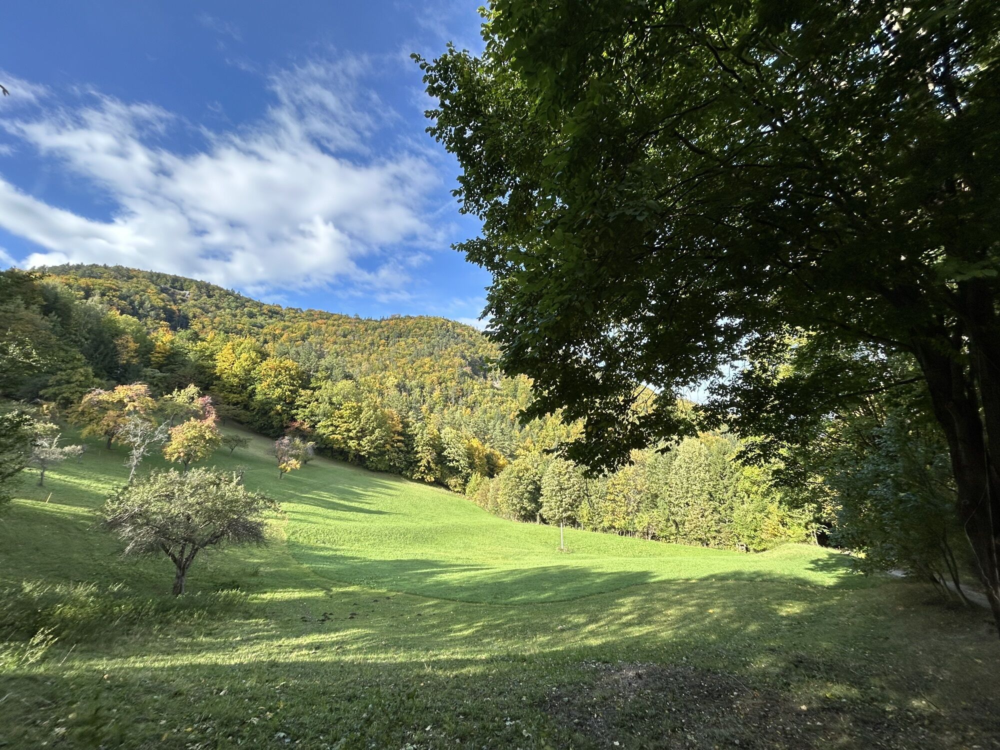
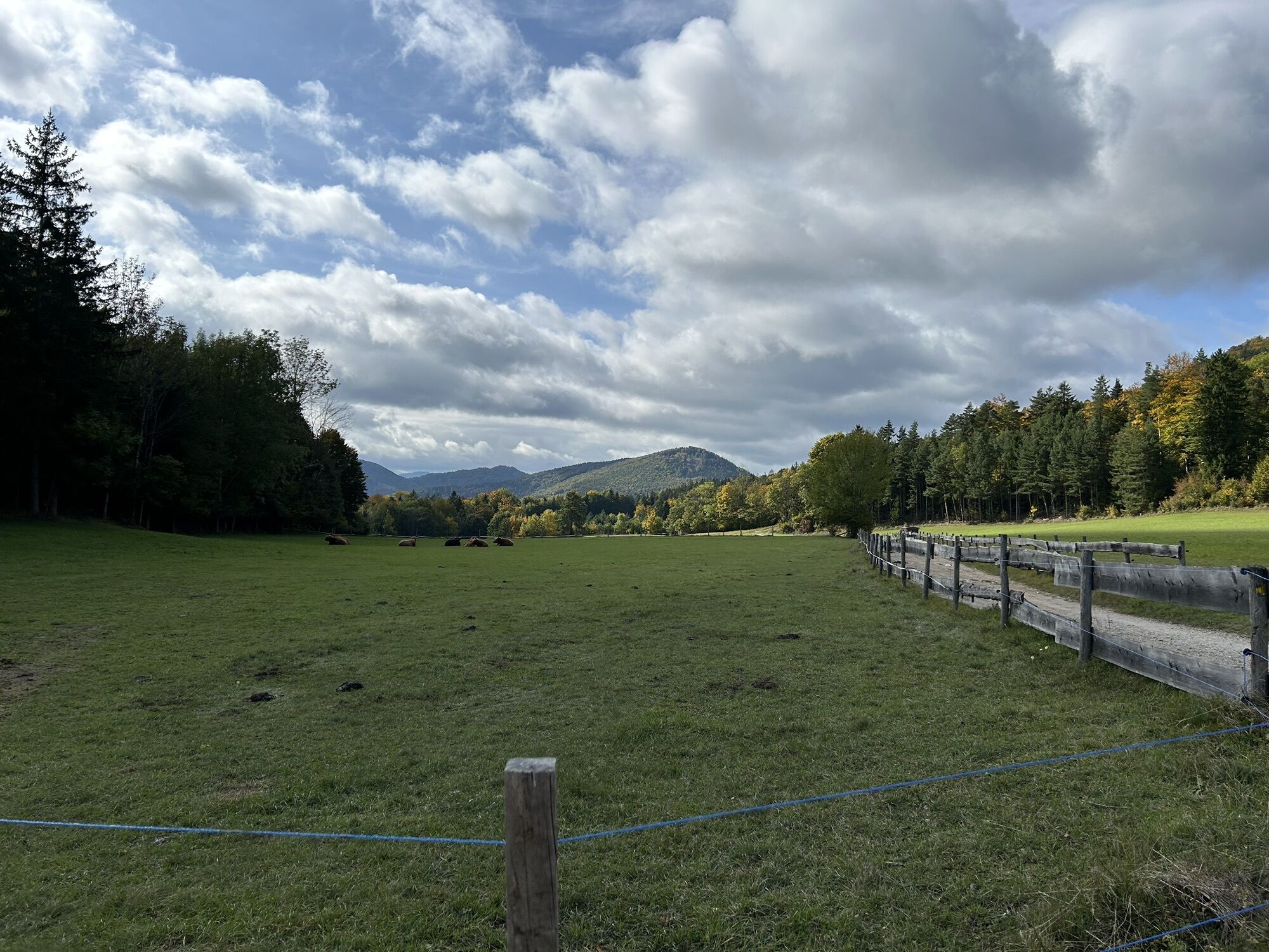
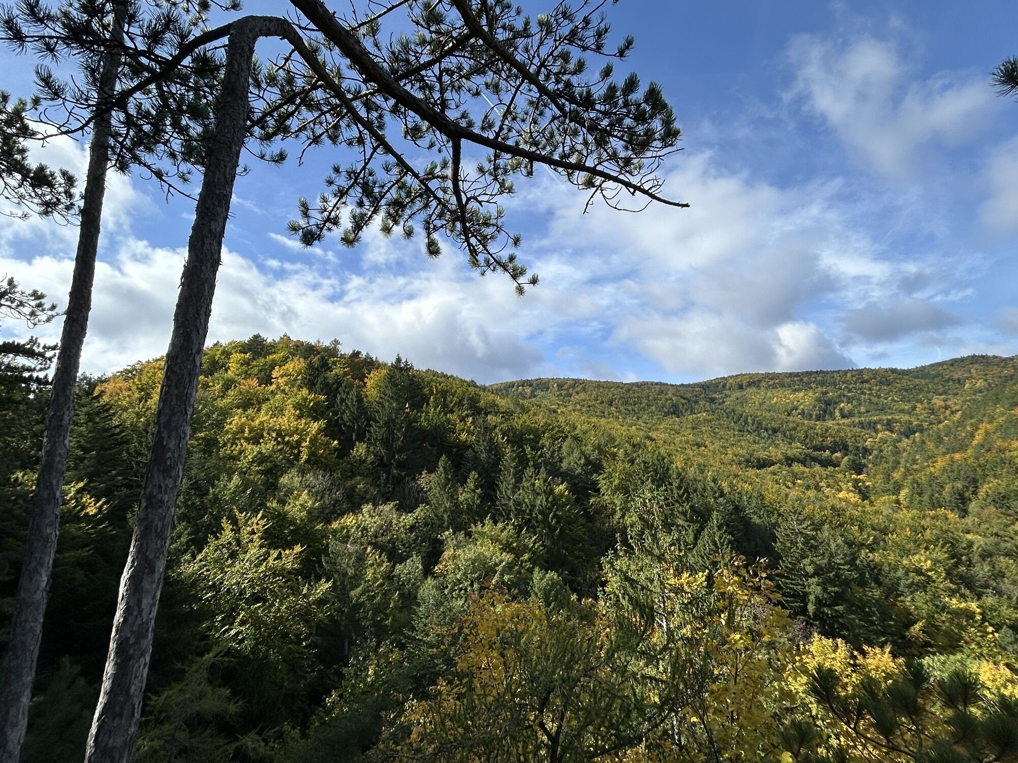
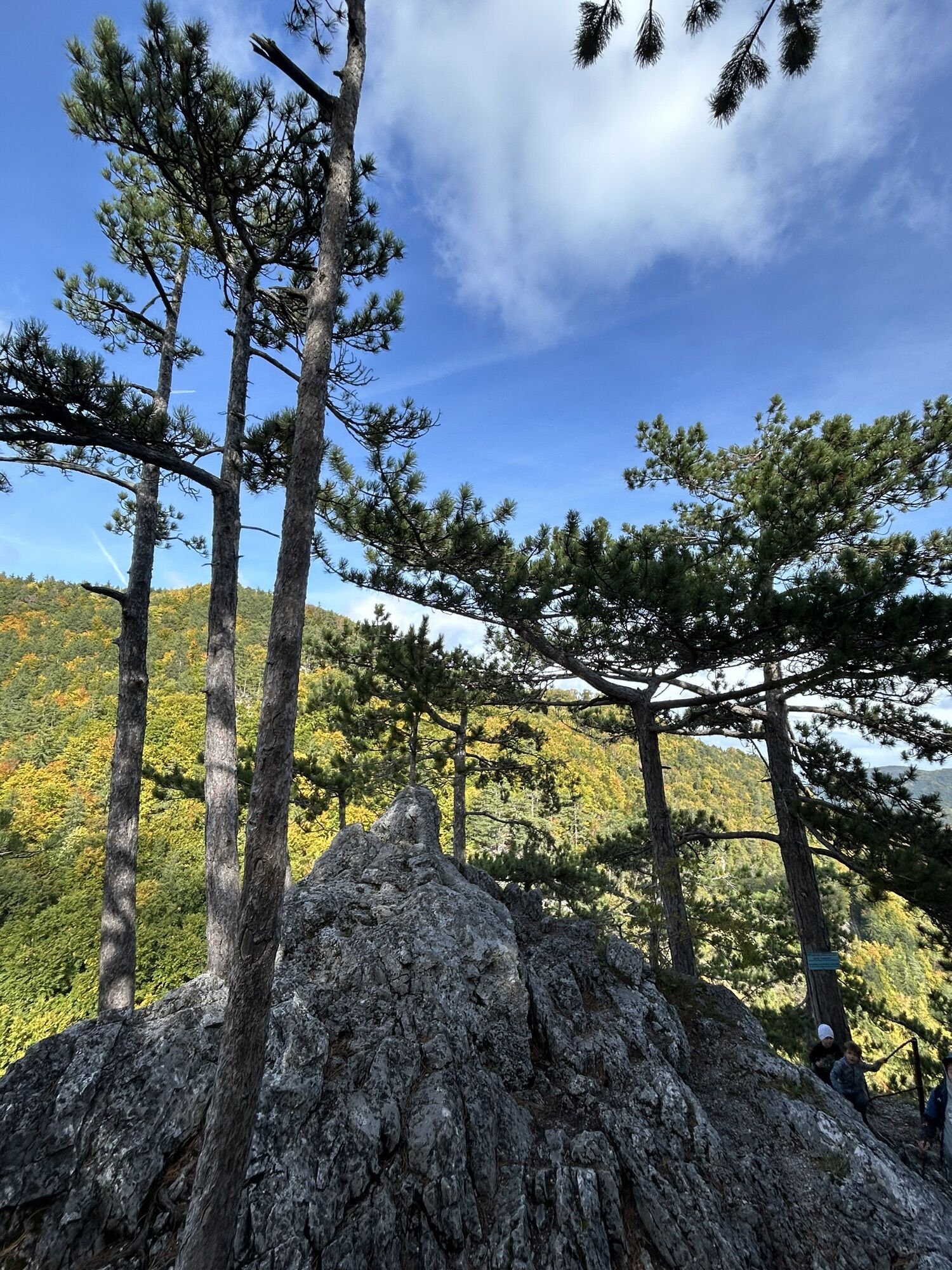
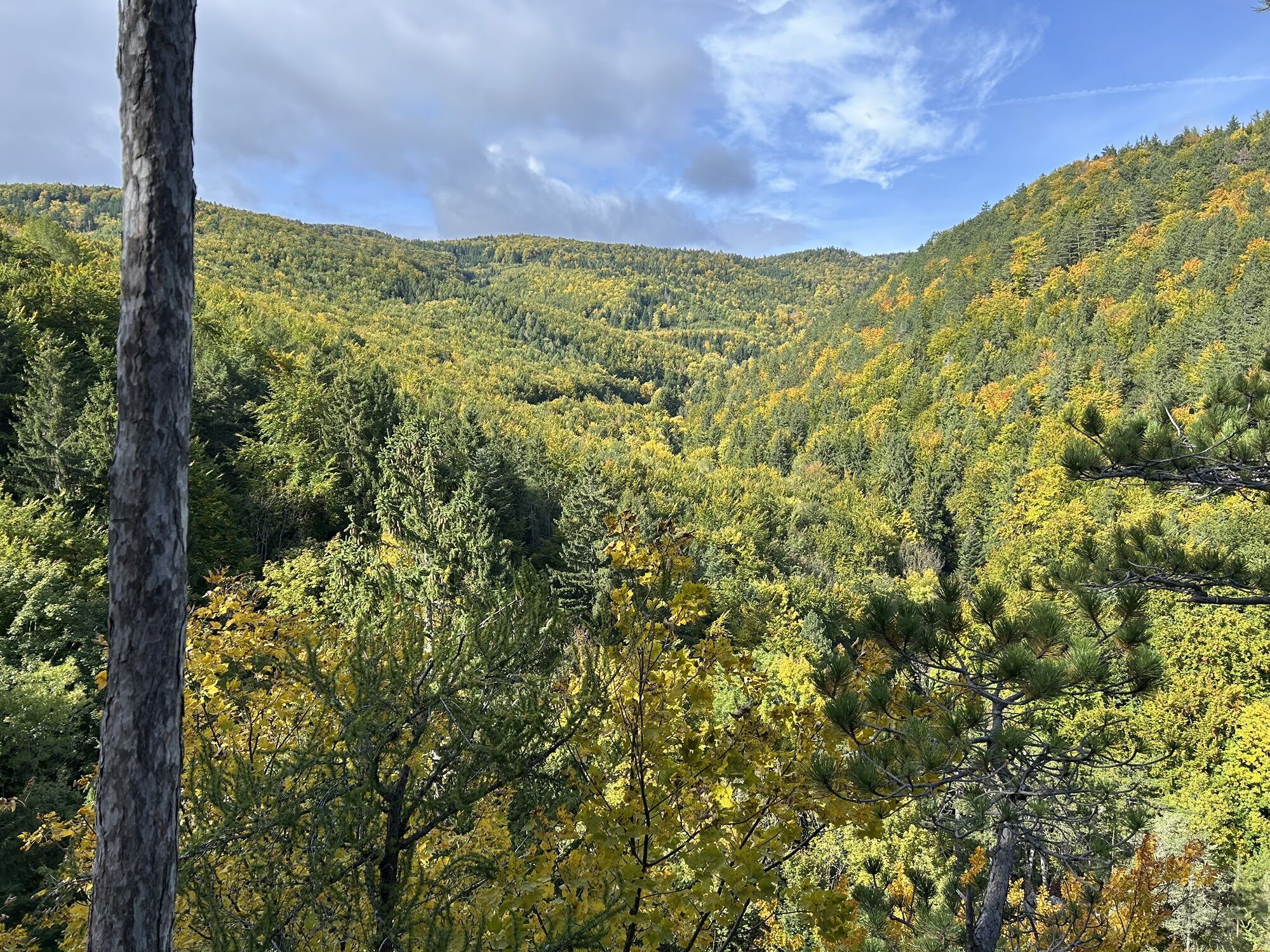
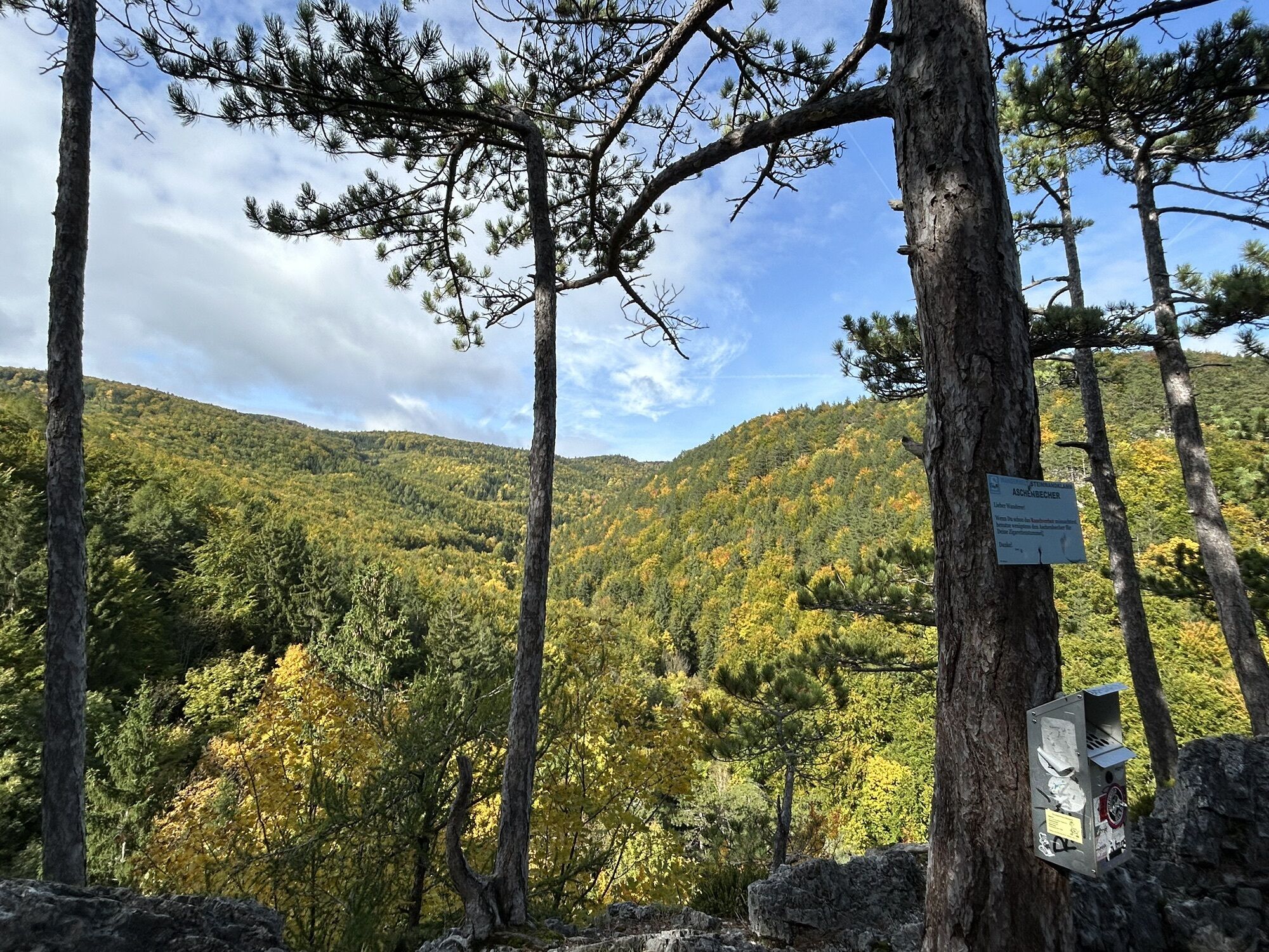
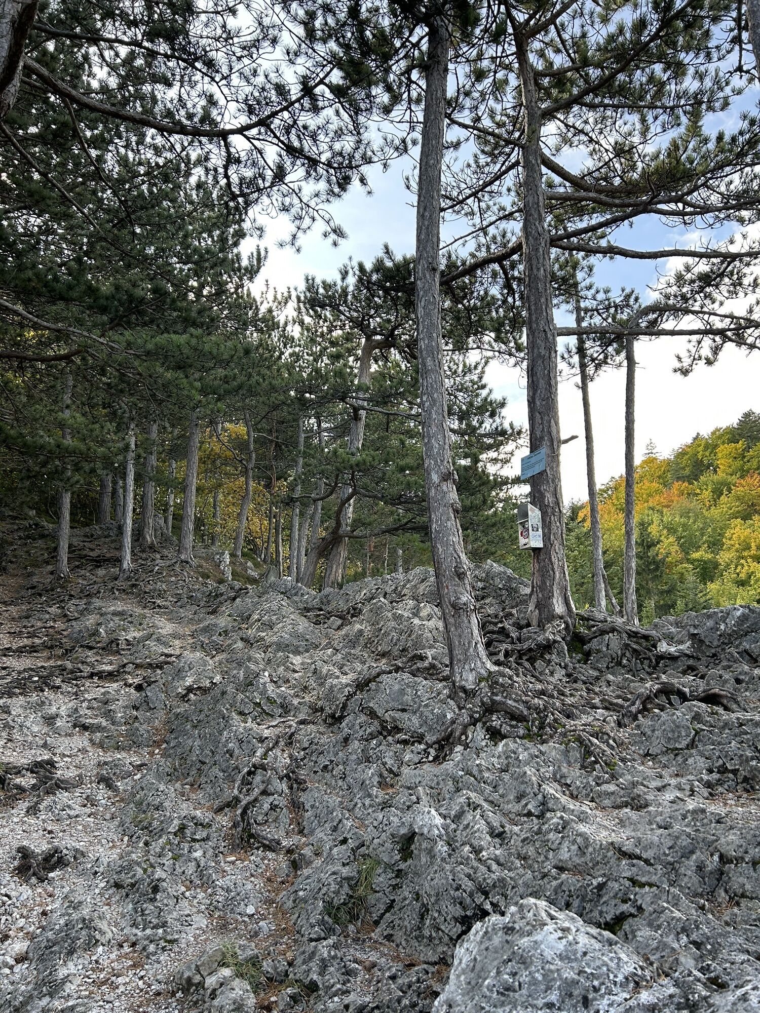
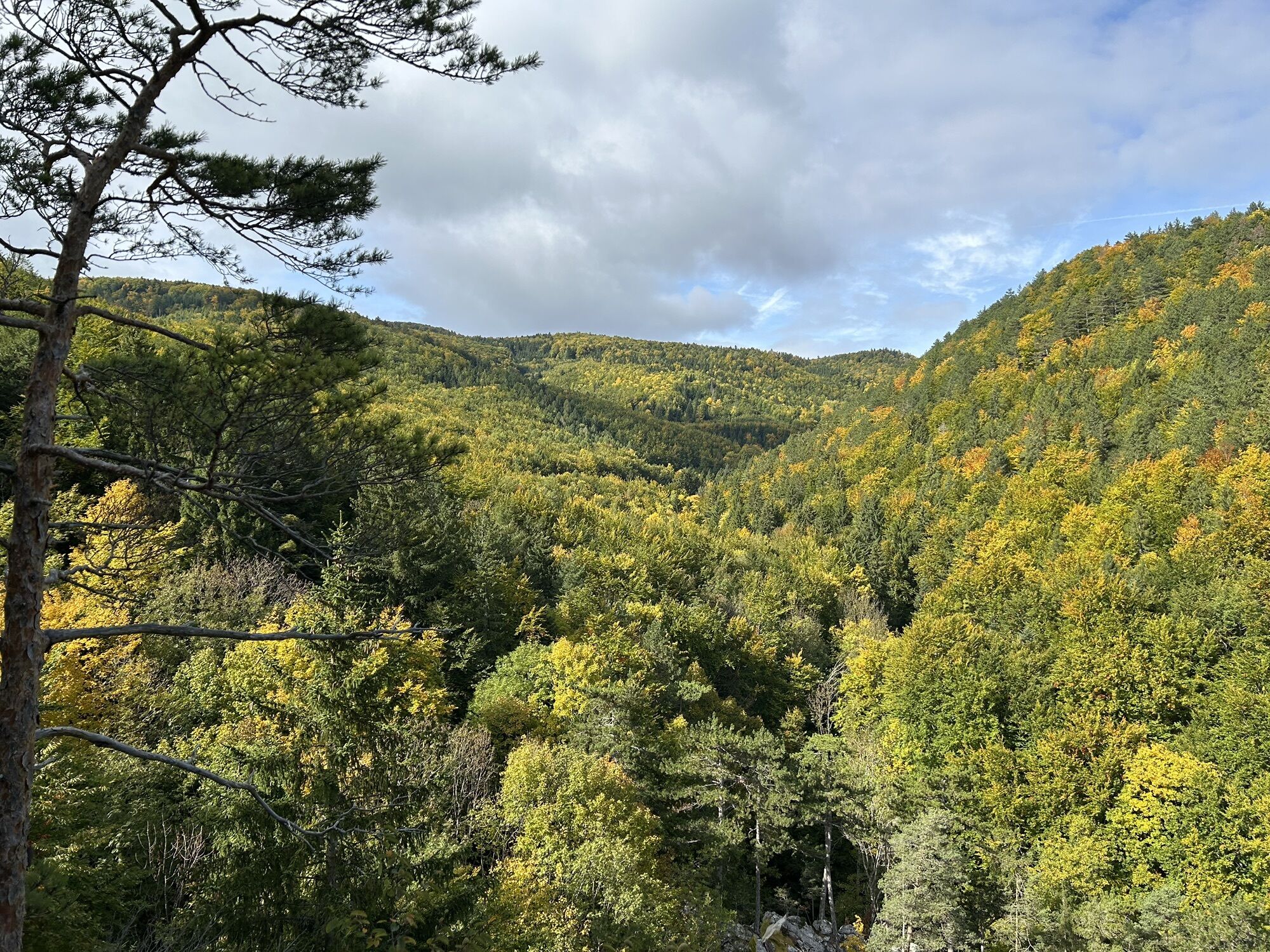
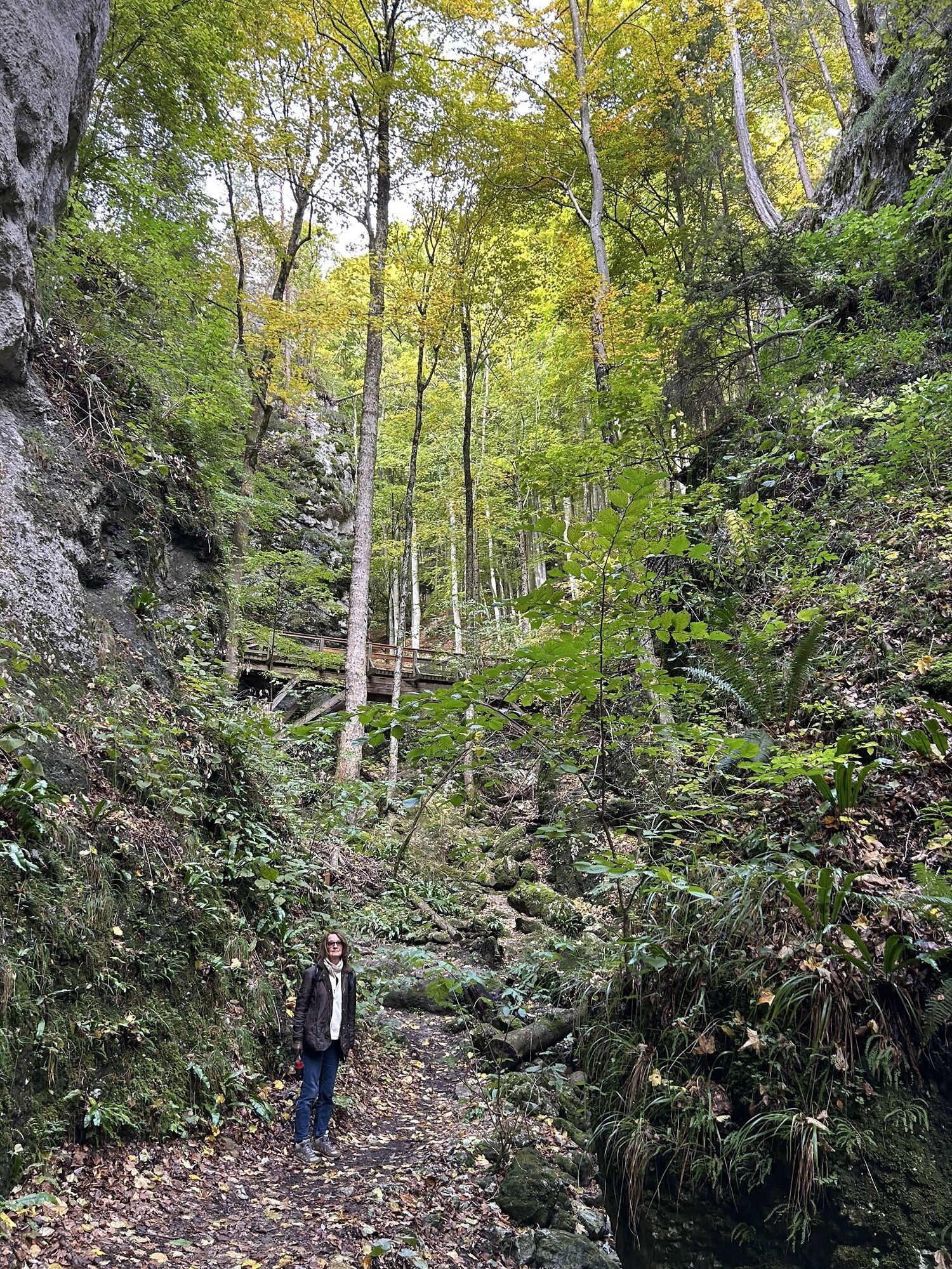
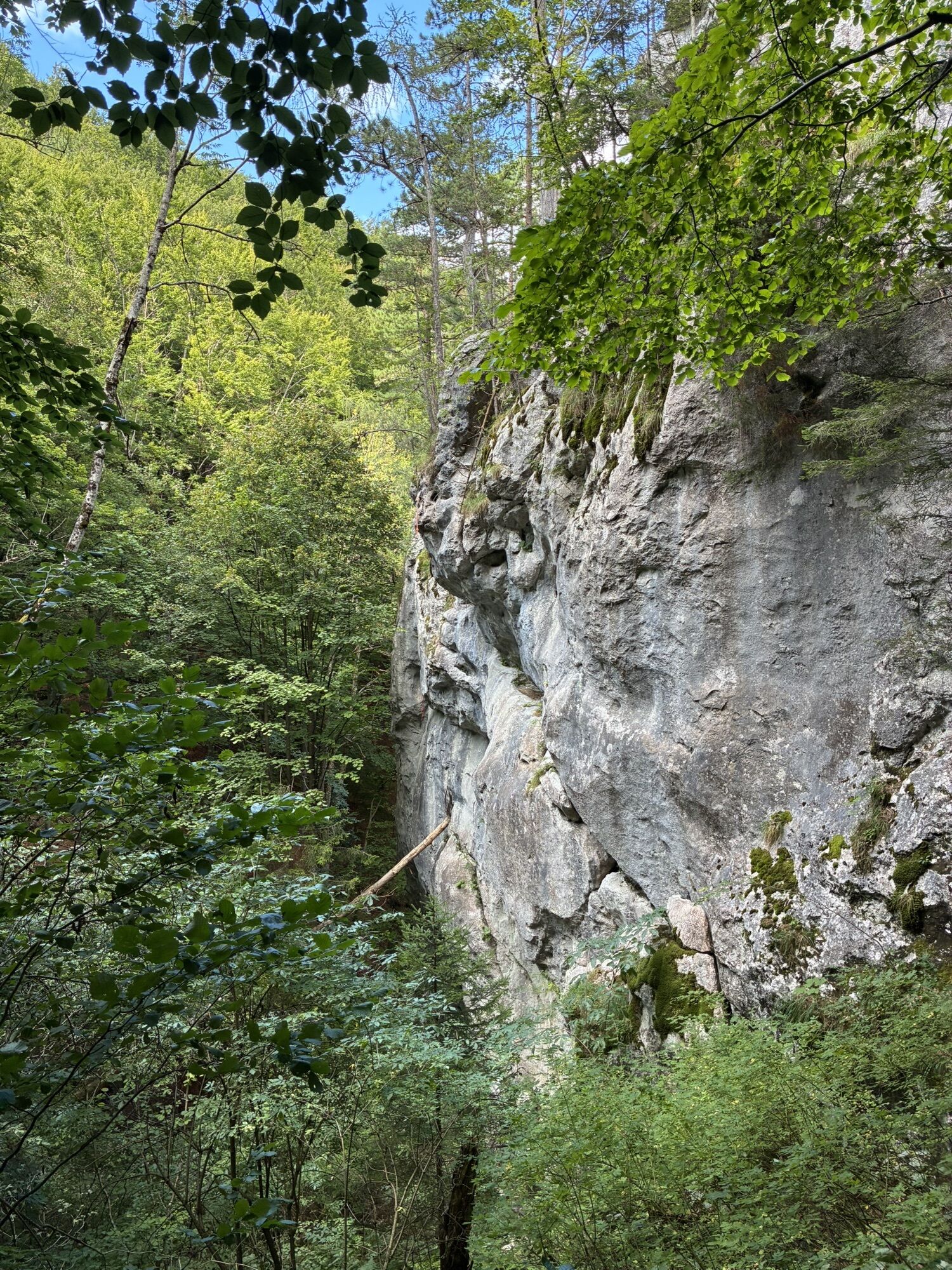
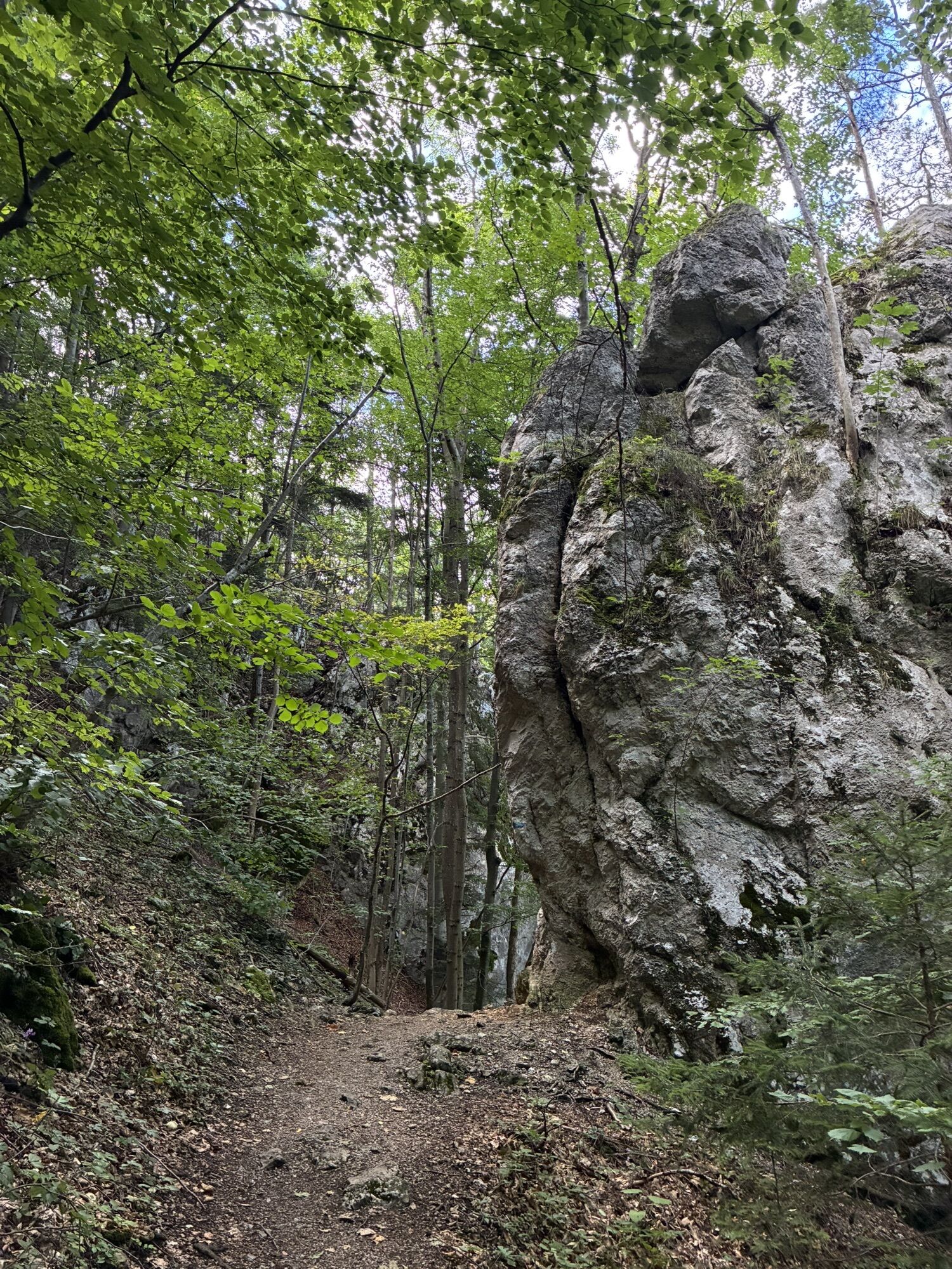

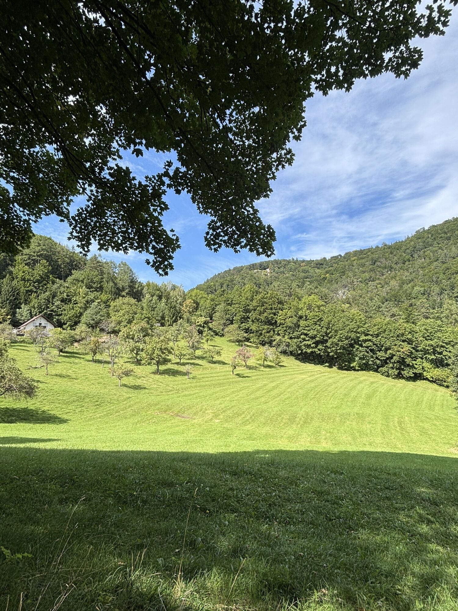
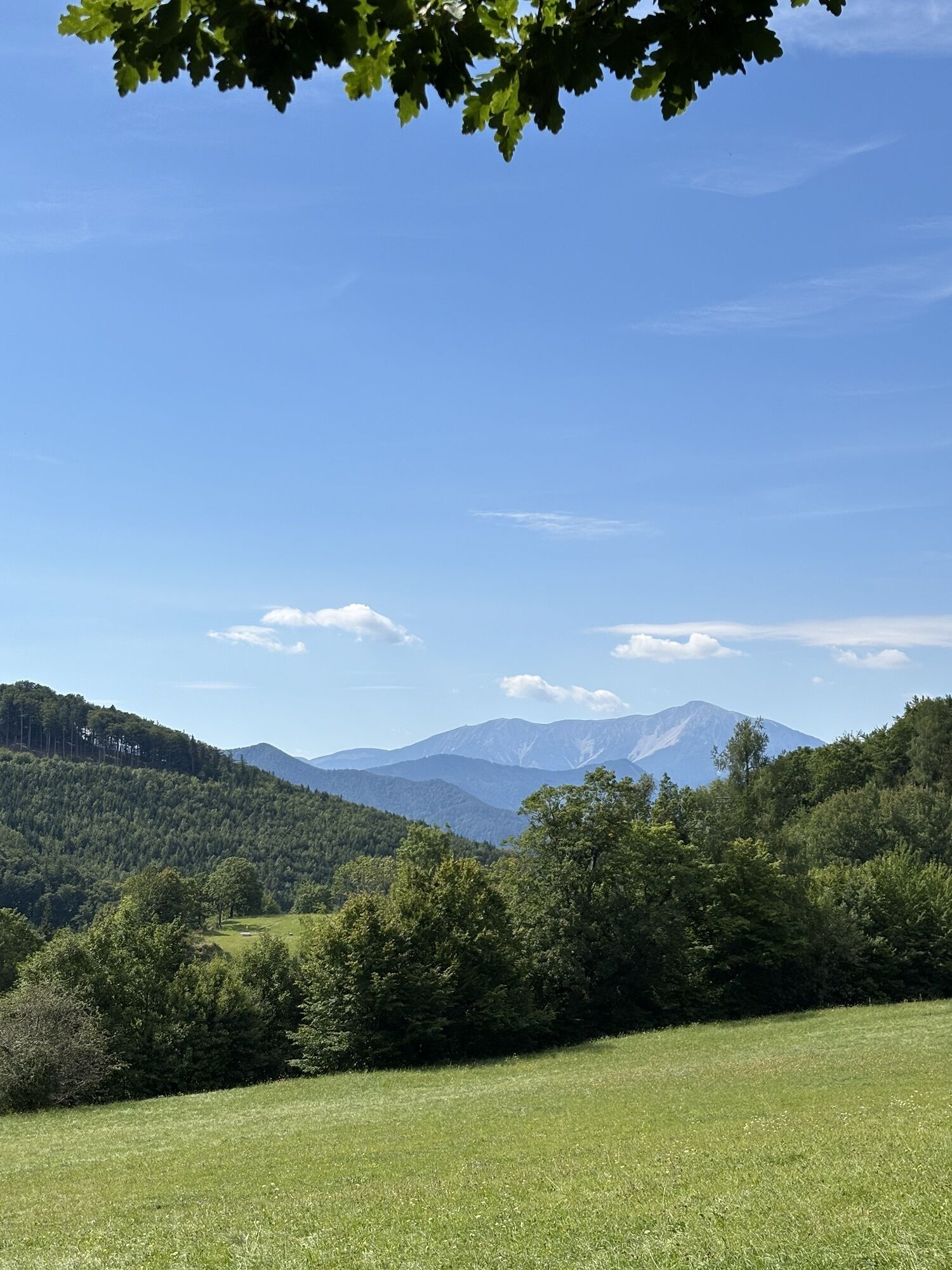
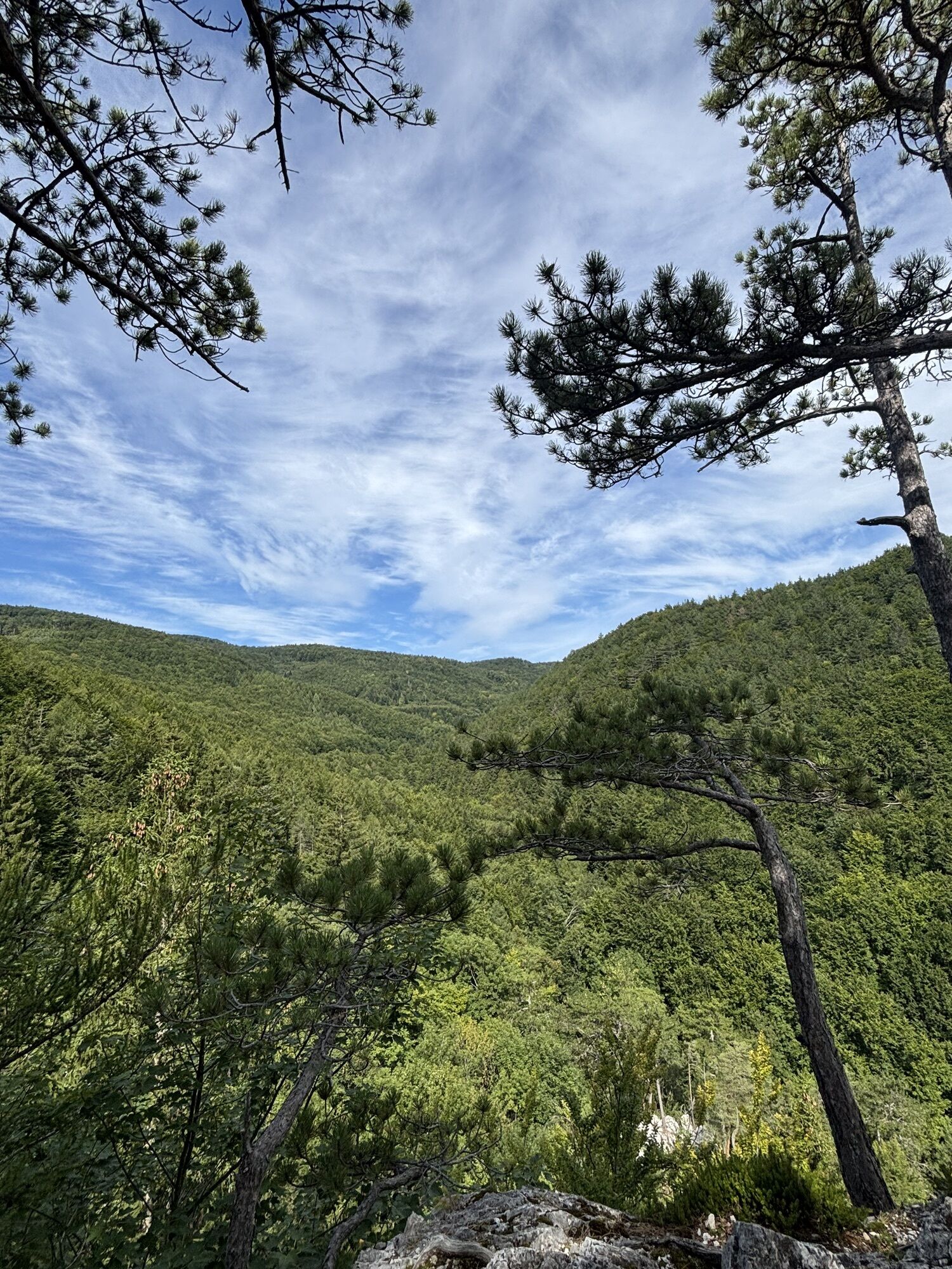
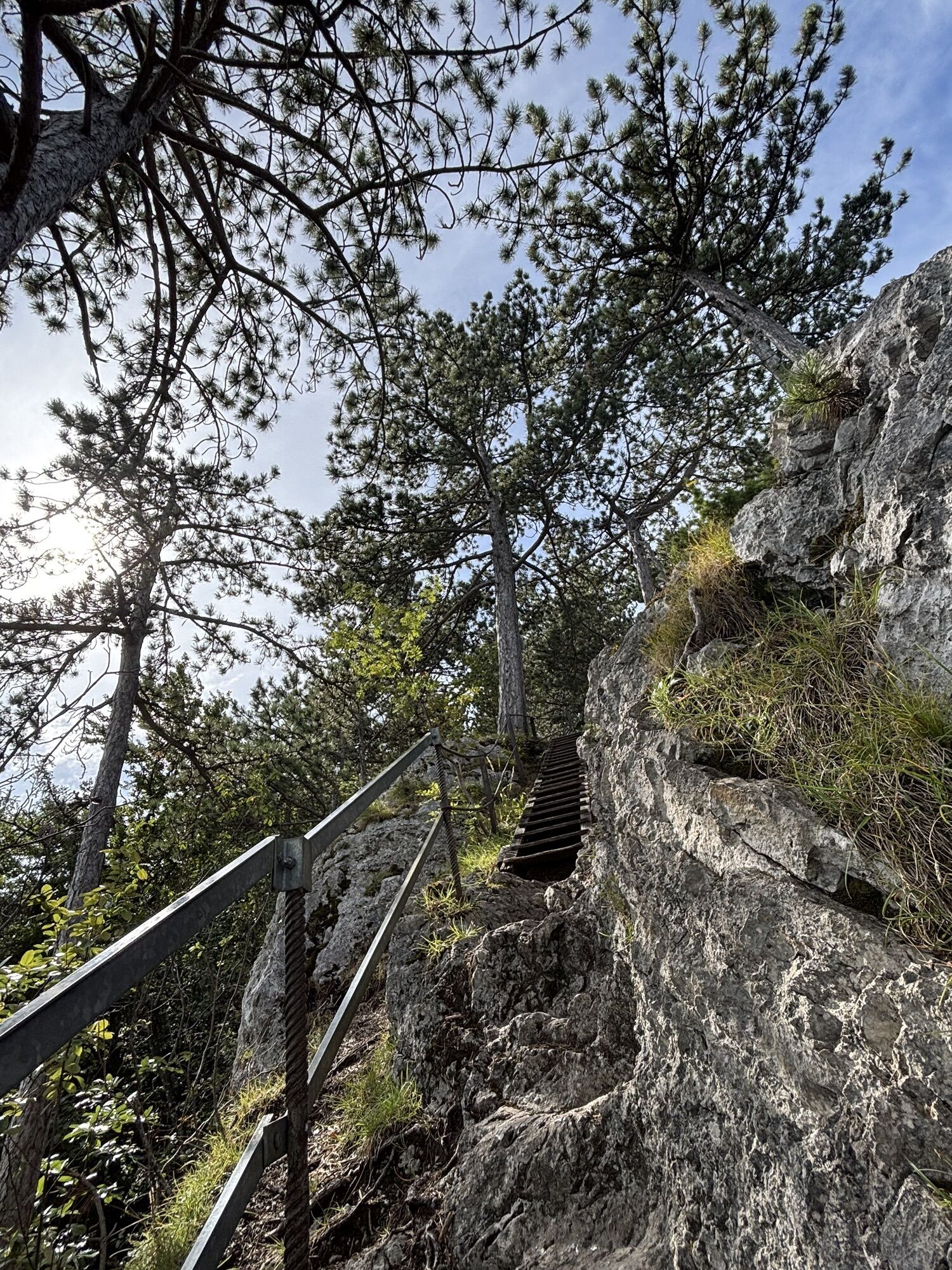
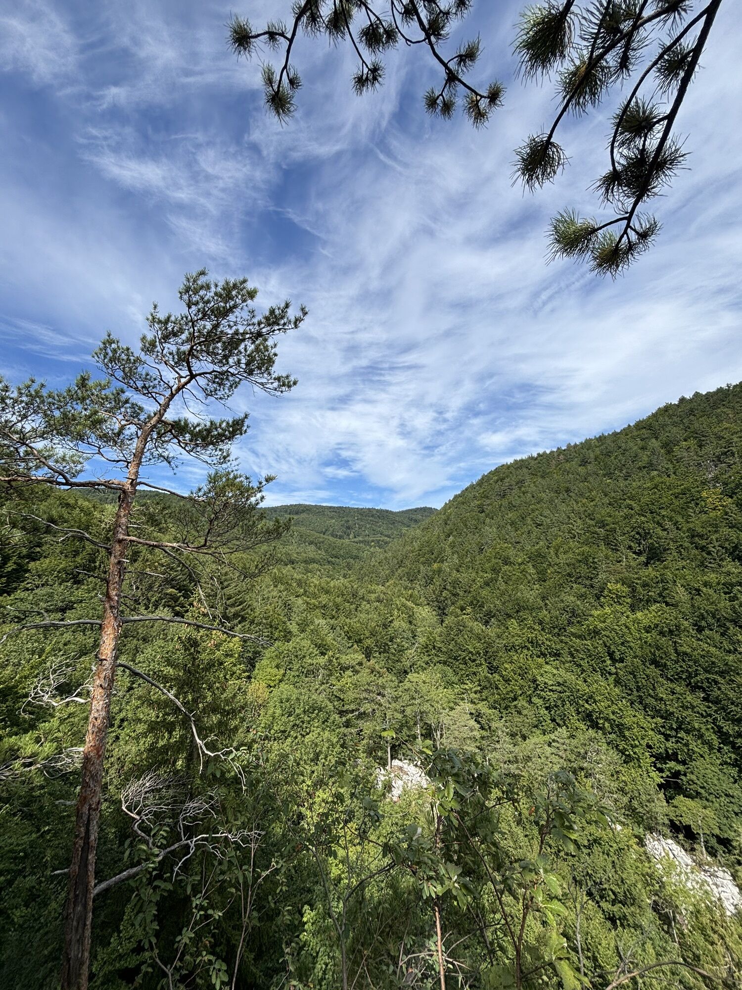
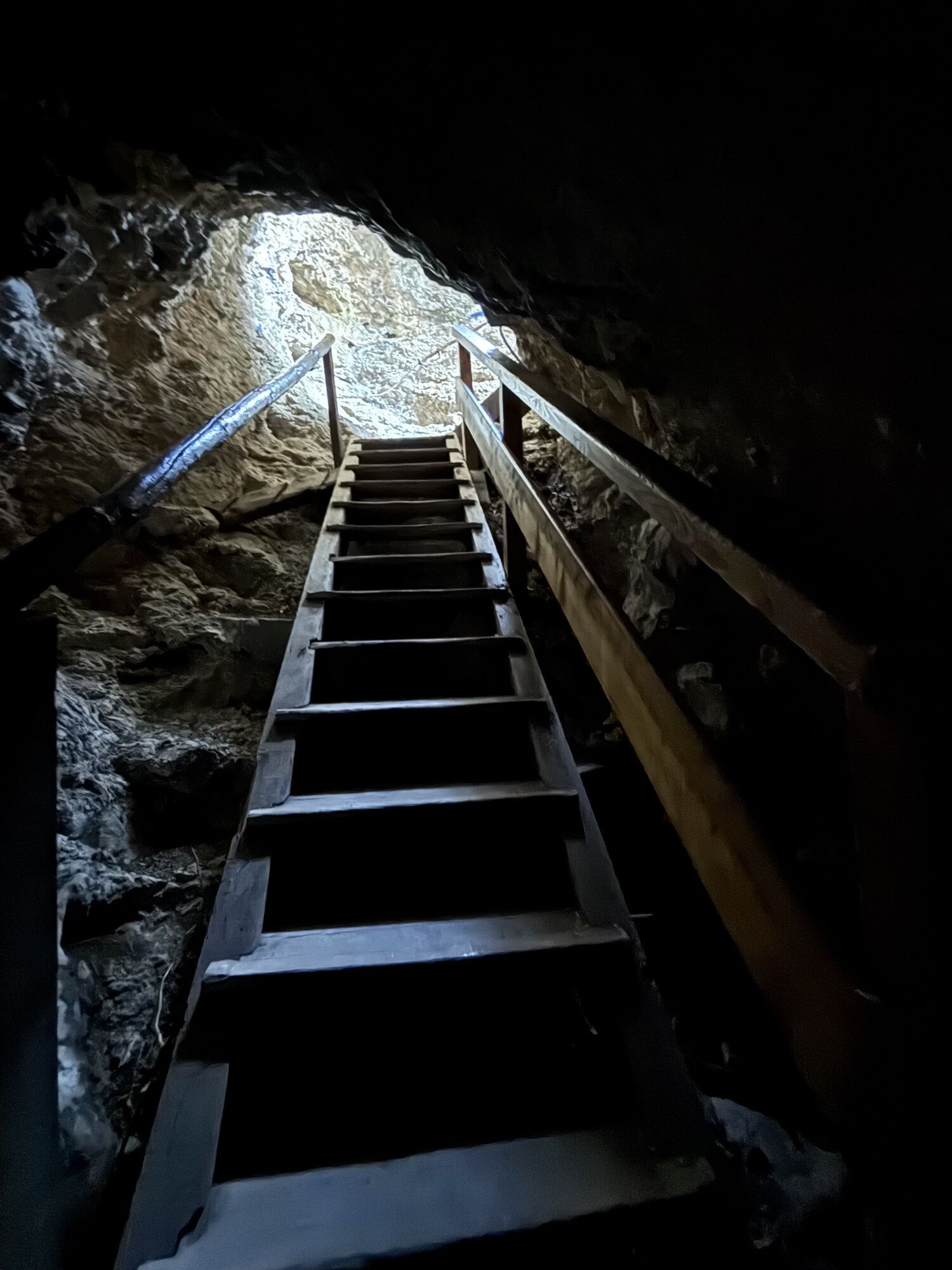
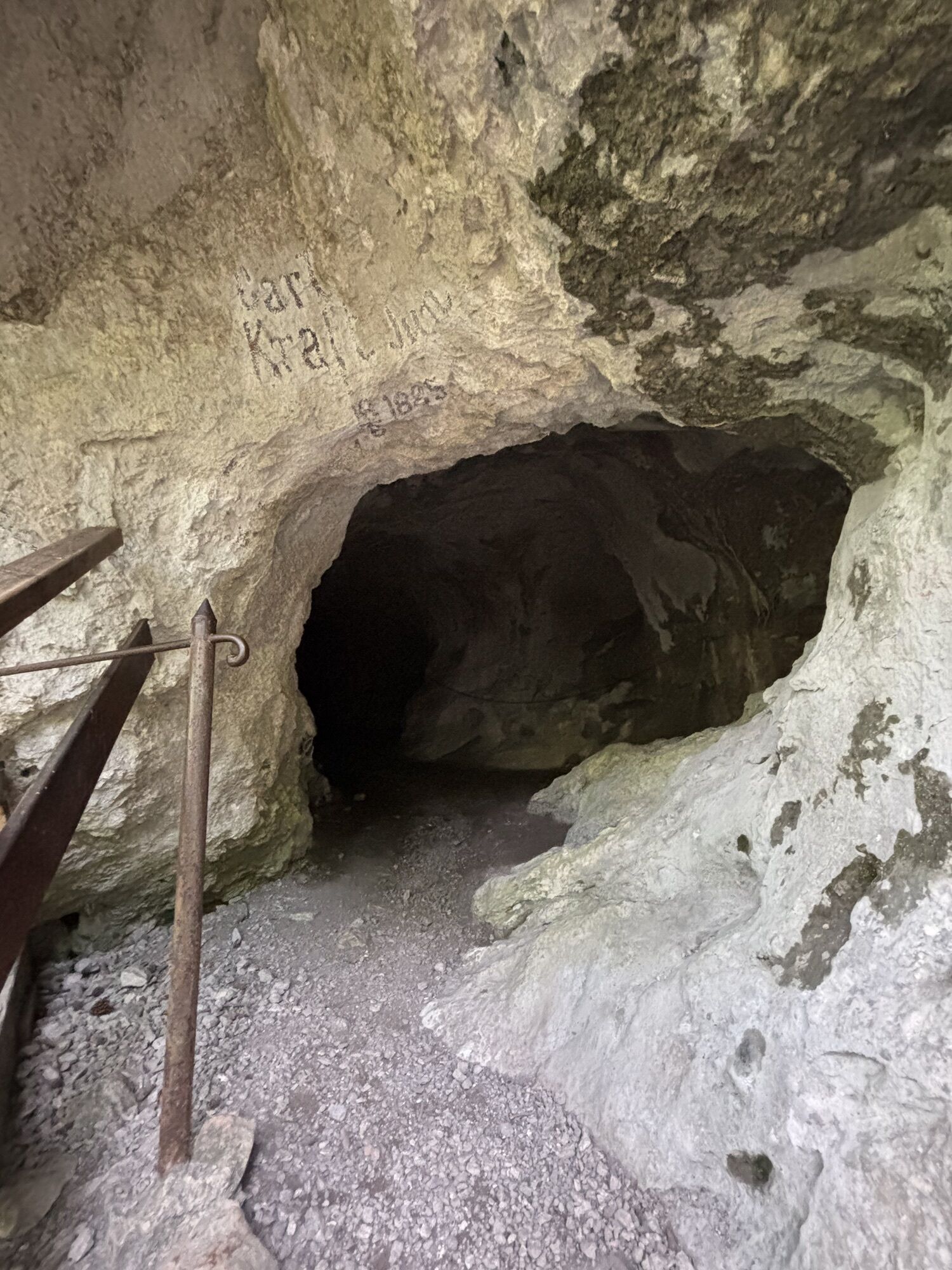
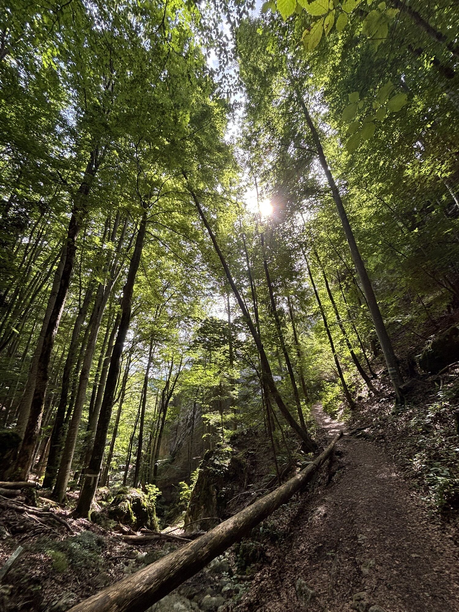
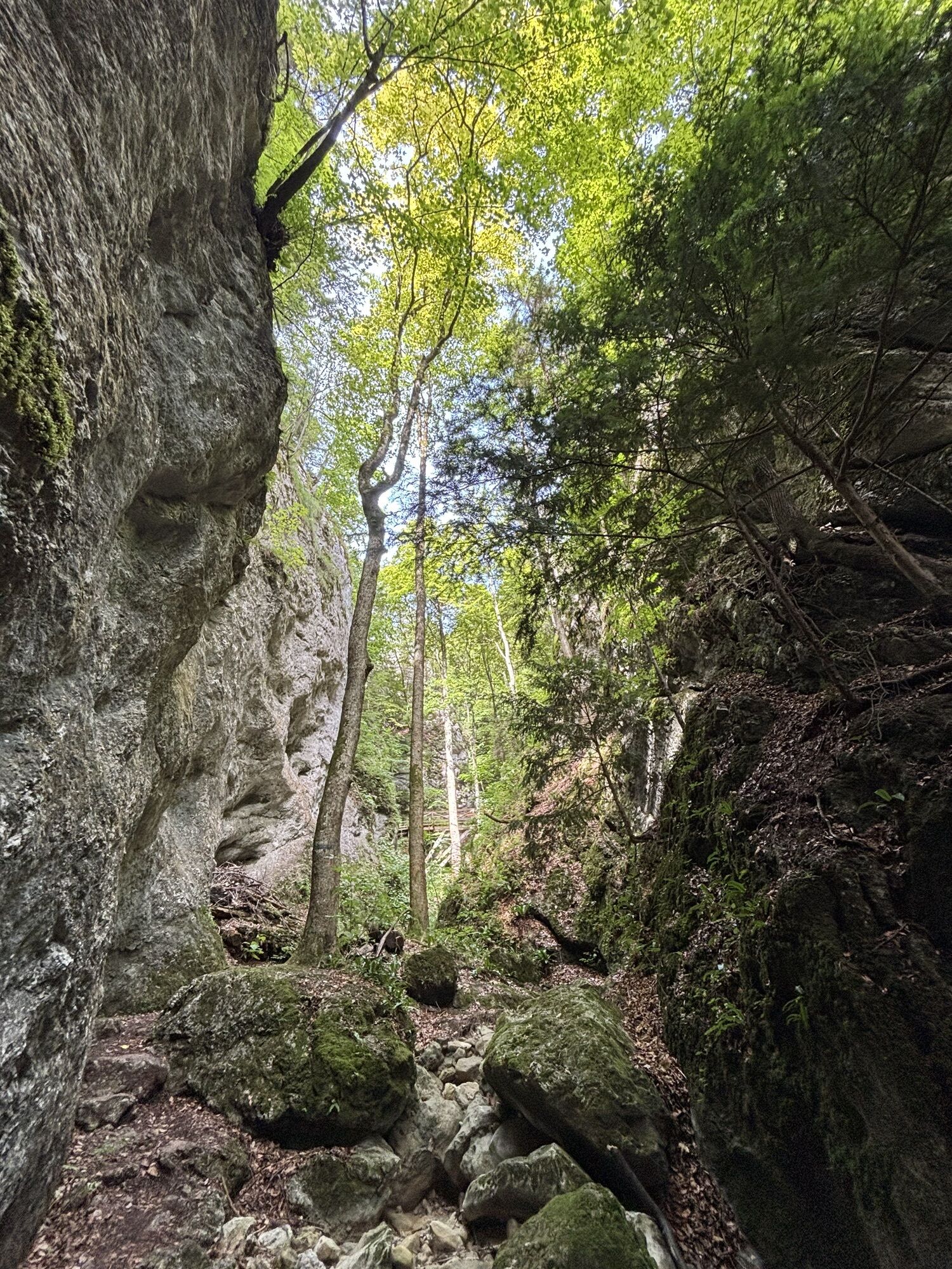
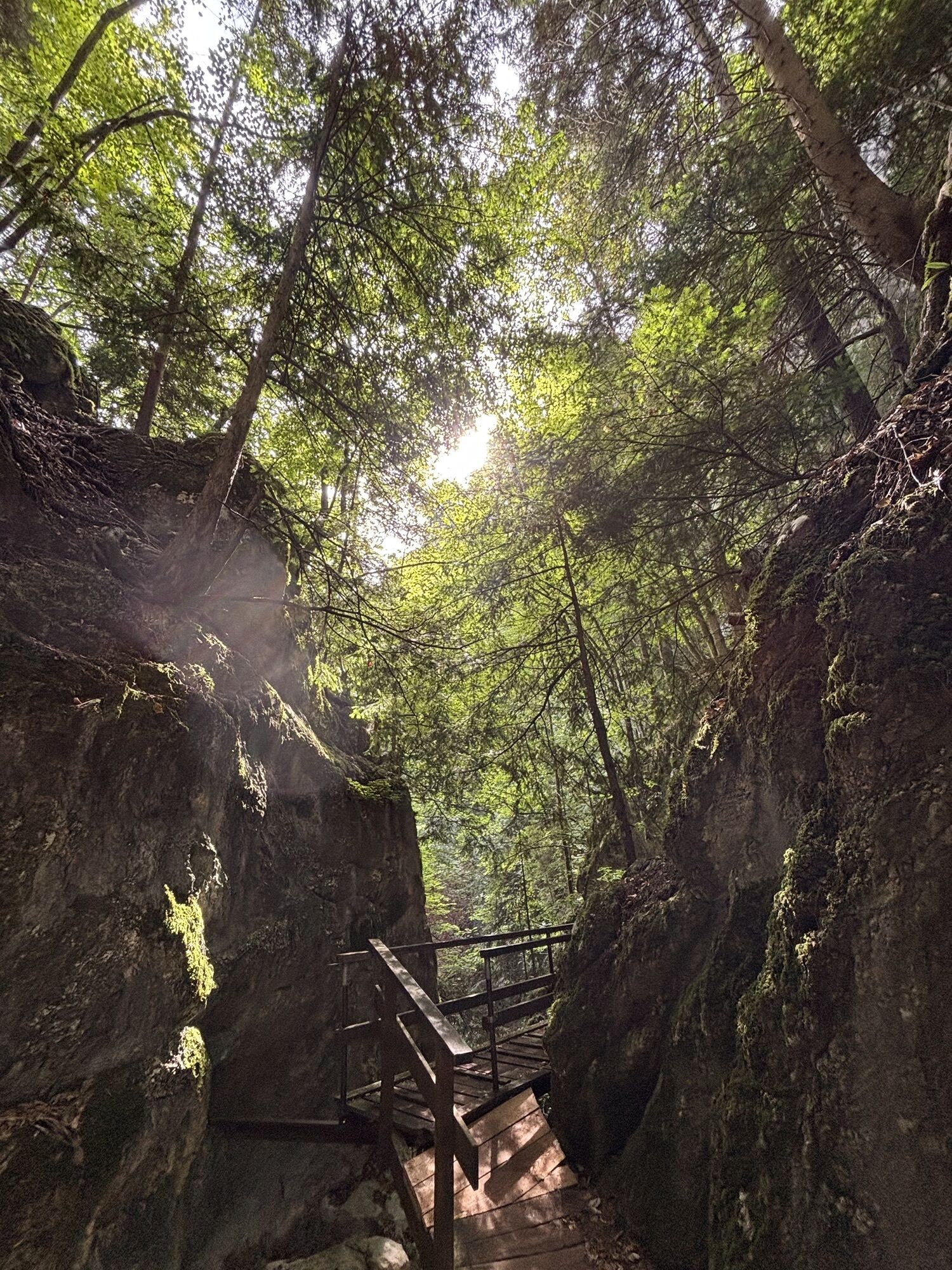
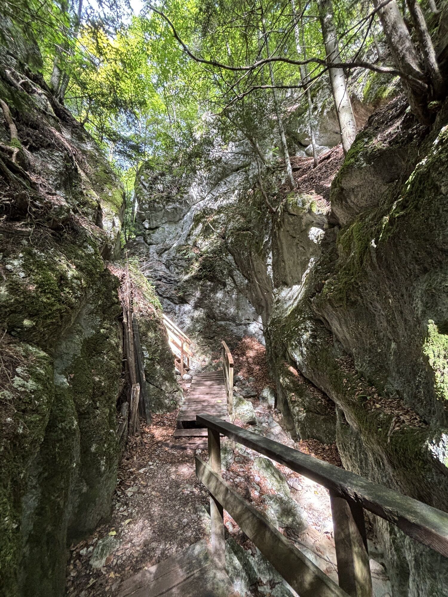
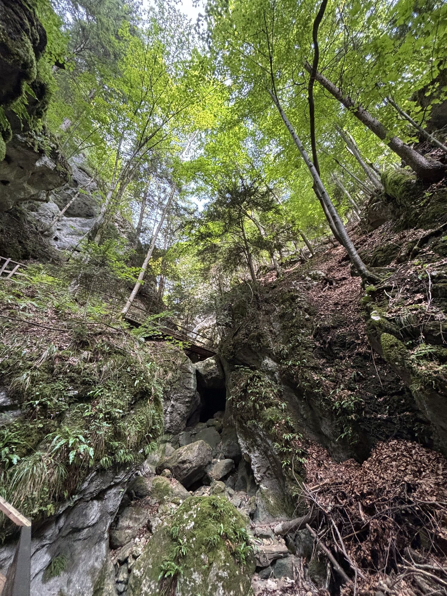
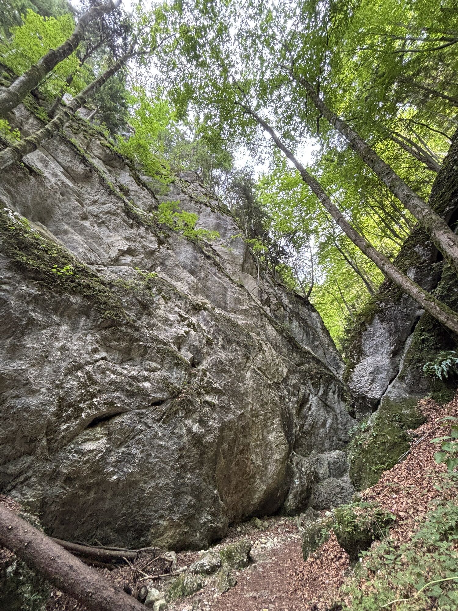
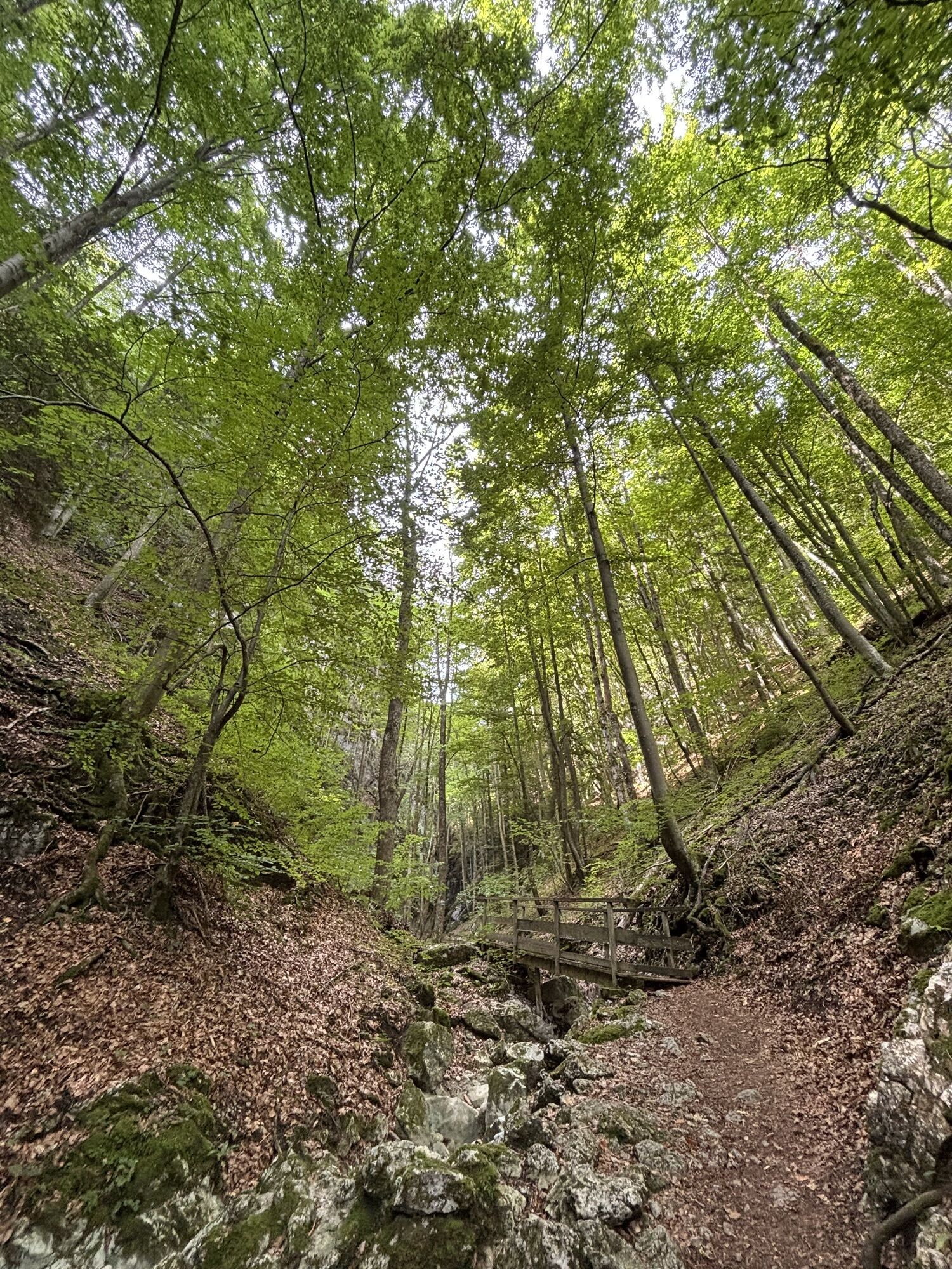
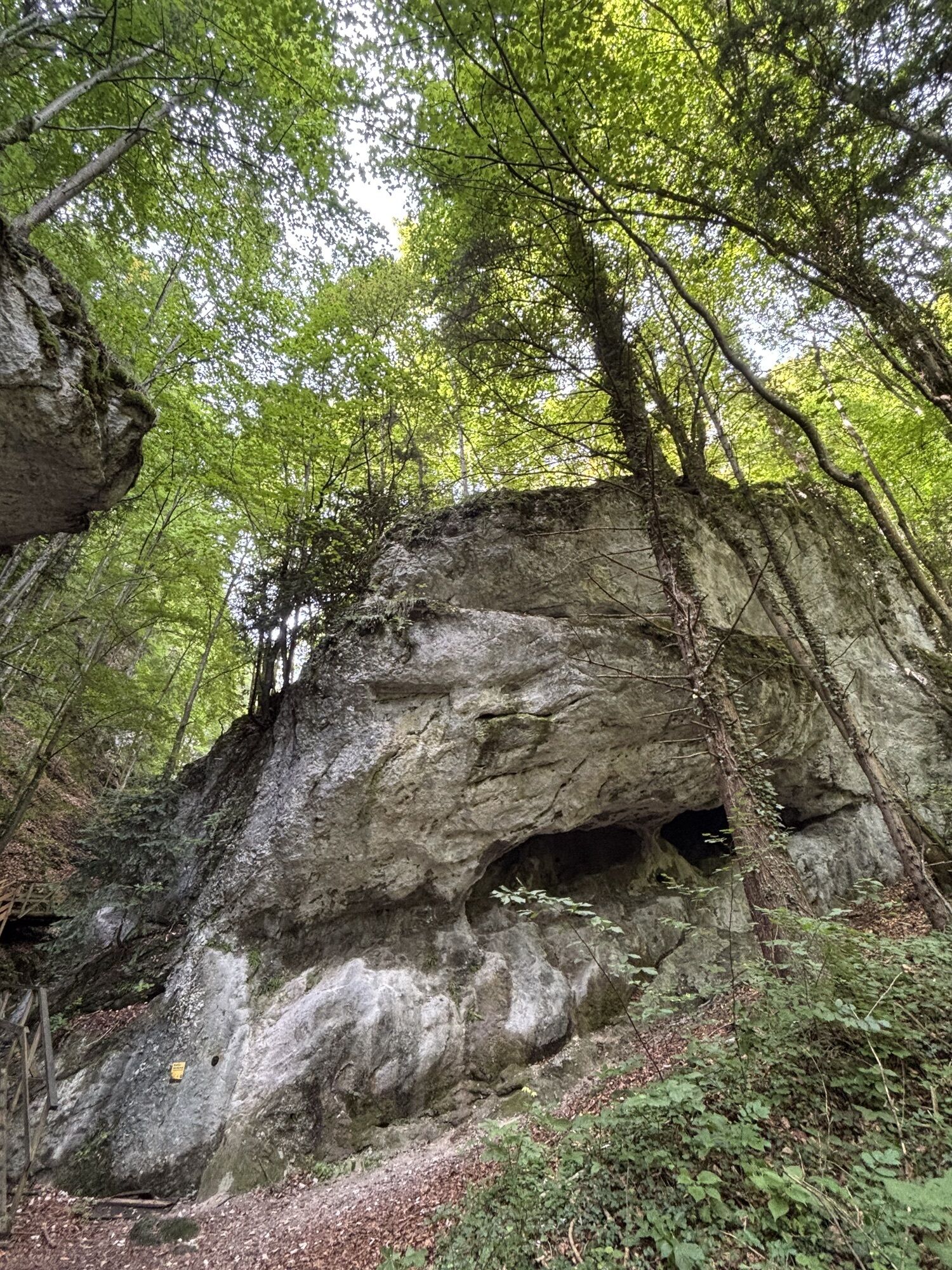
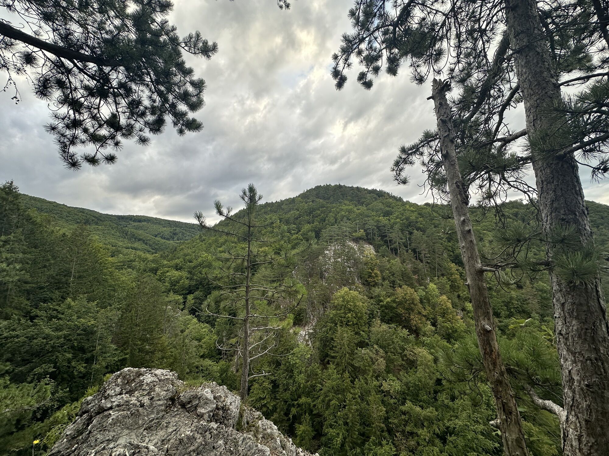
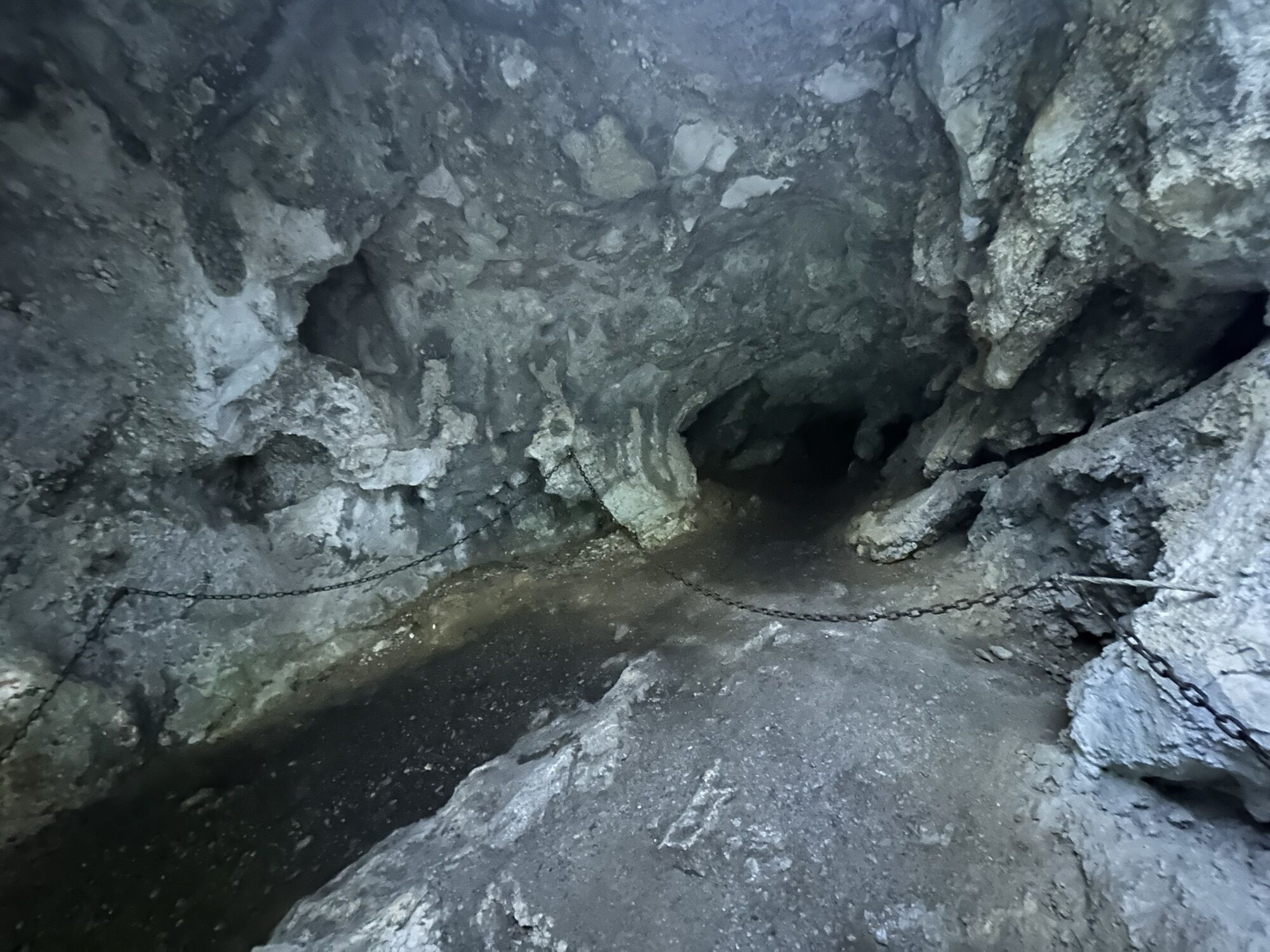
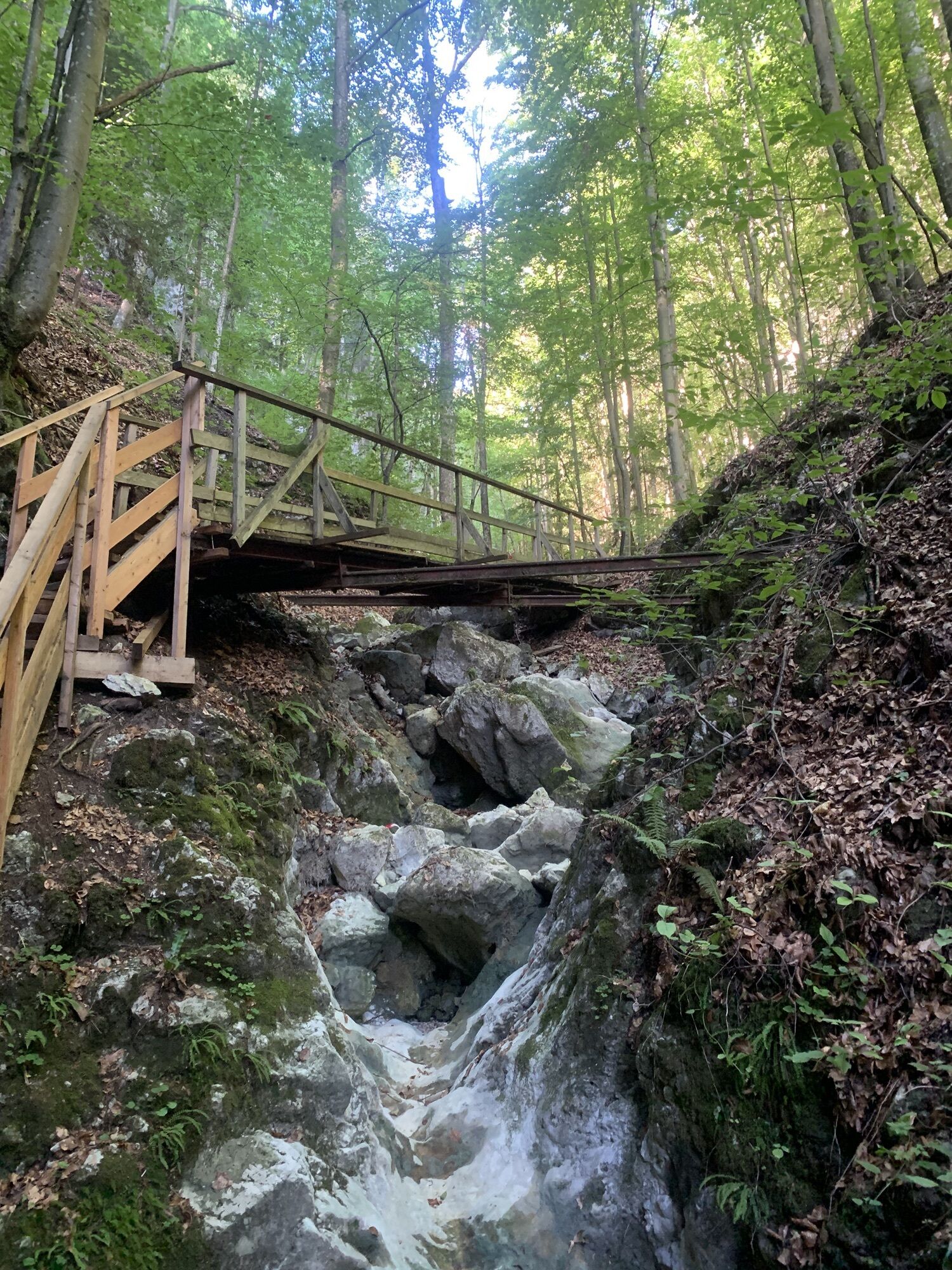
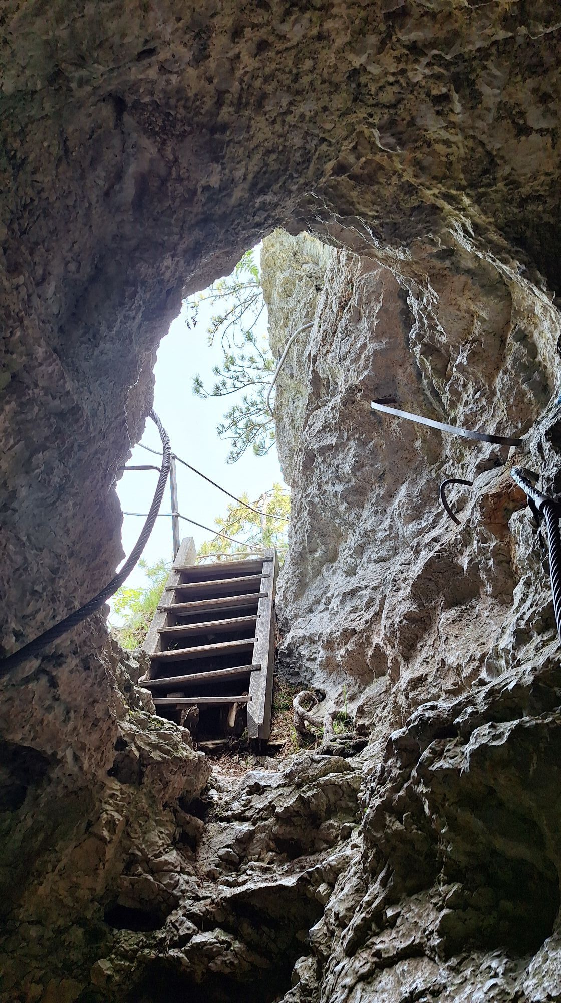
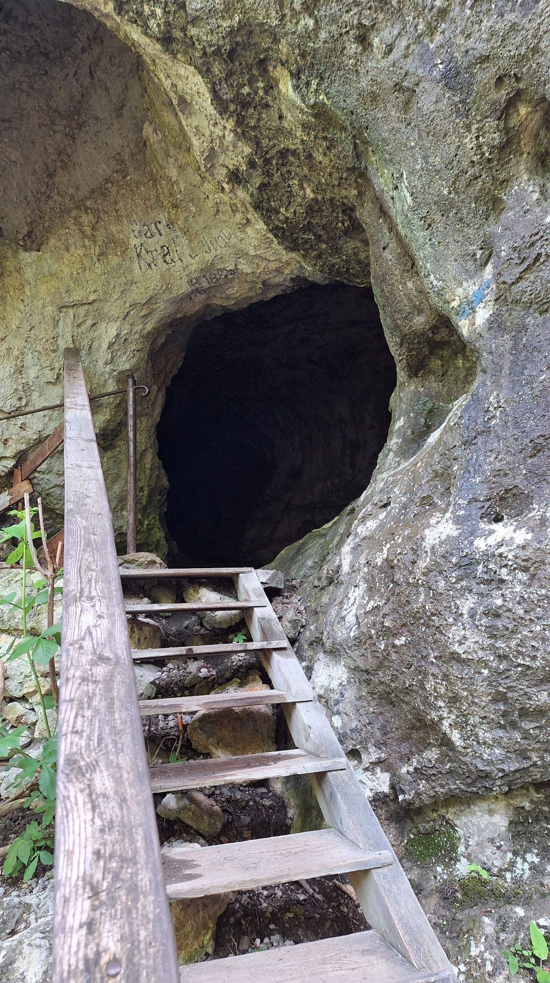
This hike combines the highlights of a "romantic gorge hike" and the ascent of a great viewpoint mountain with a panorama ranging from Rax over Schneeberg to Unterberg.
The Steinwandklamm, one of the most...
<p>This hike combines the highlights of a "romantic gorge hike" and the ascent of a great viewpoint mountain with a panorama ranging from Rax over Schneeberg to Unterberg.</p><p>The Steinwandklamm, one of the most beautiful gorges in eastern Austria, is crossed on the easiest route via boardwalks and stairs. At the end of the gorge, you can refresh yourself in a Kneipp pool. Up to Almesbrunnberg, you then pass through various habitat types very diversely, from the orchards near the mountain houses, the beech forests, larch forests up to the spruce forests interspersed with meadows in the higher regions. Along the way, there is only a dining possibility towards the end of the tour at Jagasitz (saddle between Piestingtal and Triestingtal) or at the end of the hike at the car park (Reischer snack station).</p>

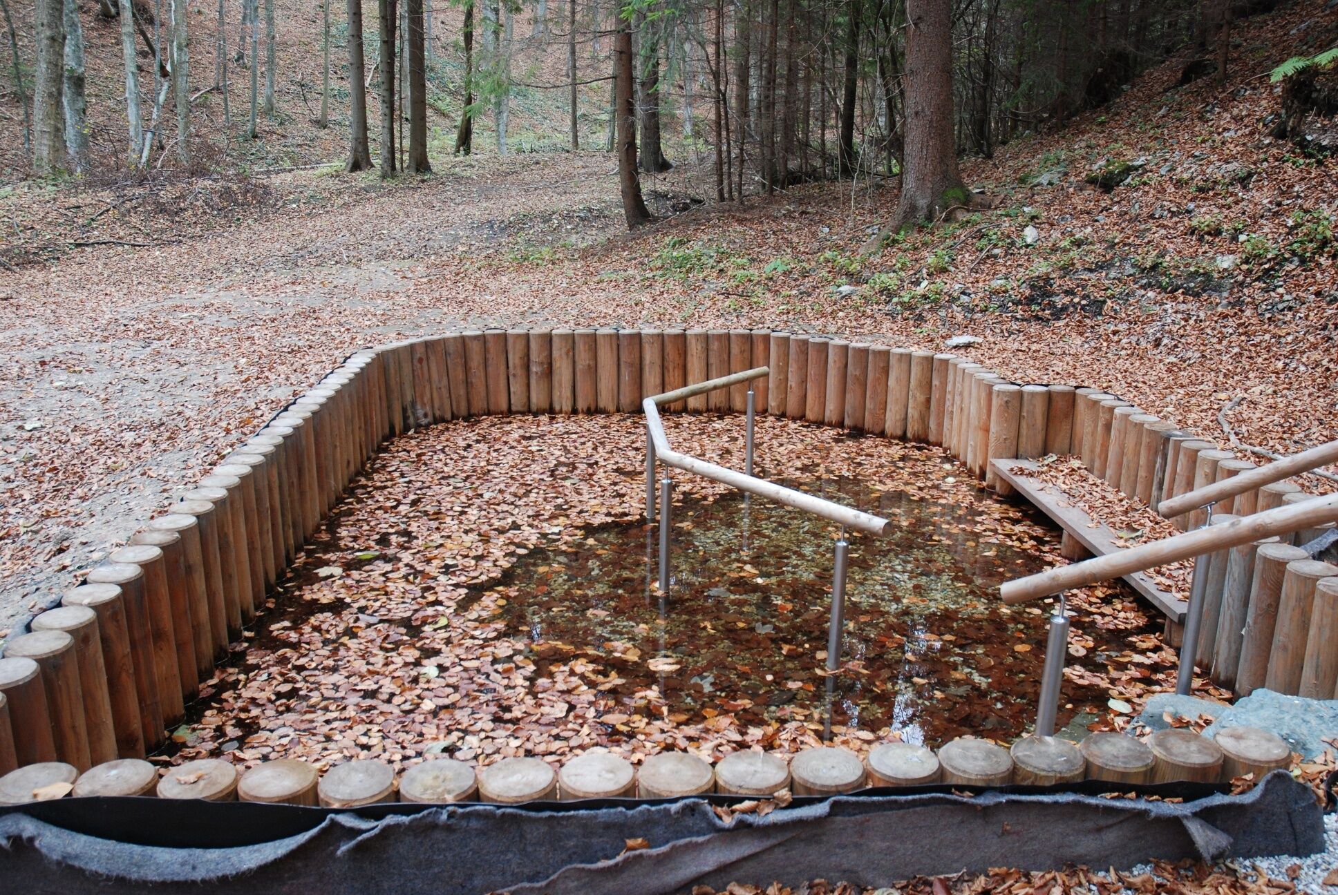
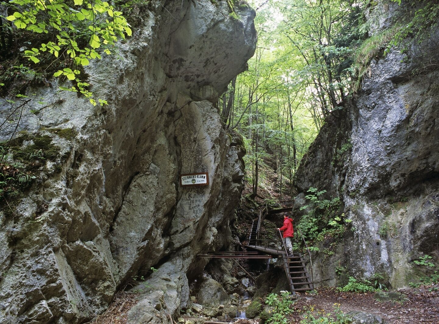

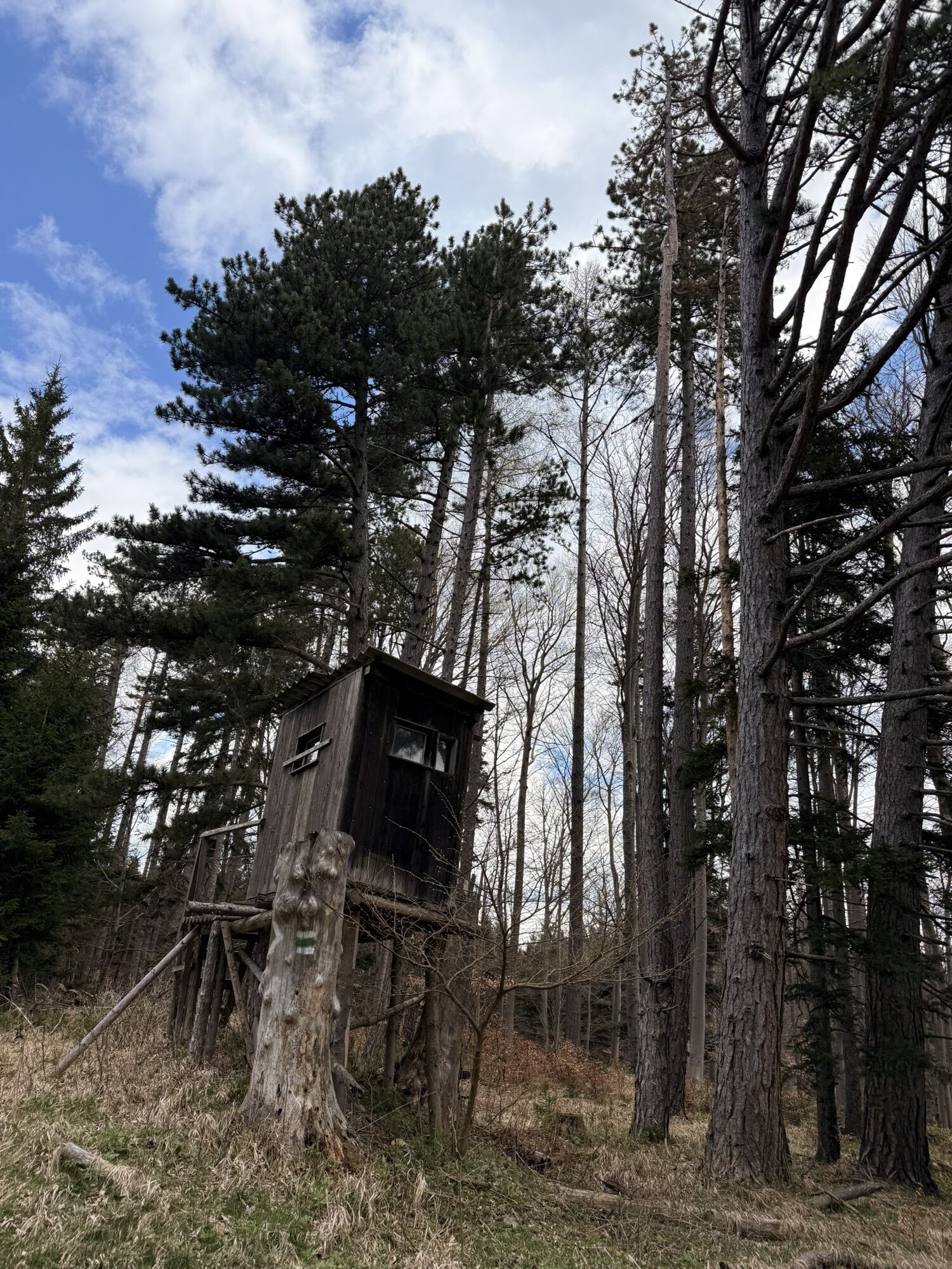
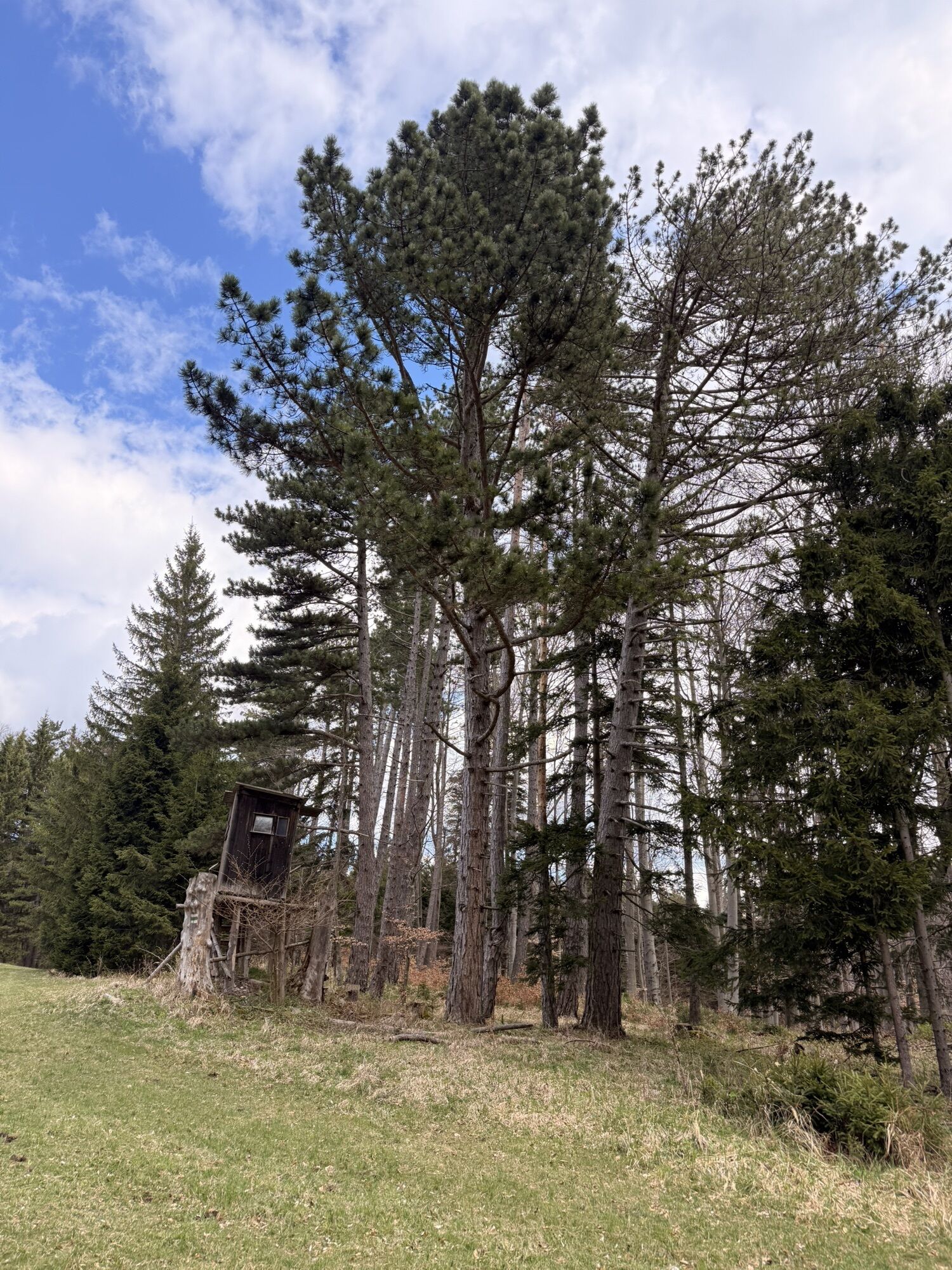
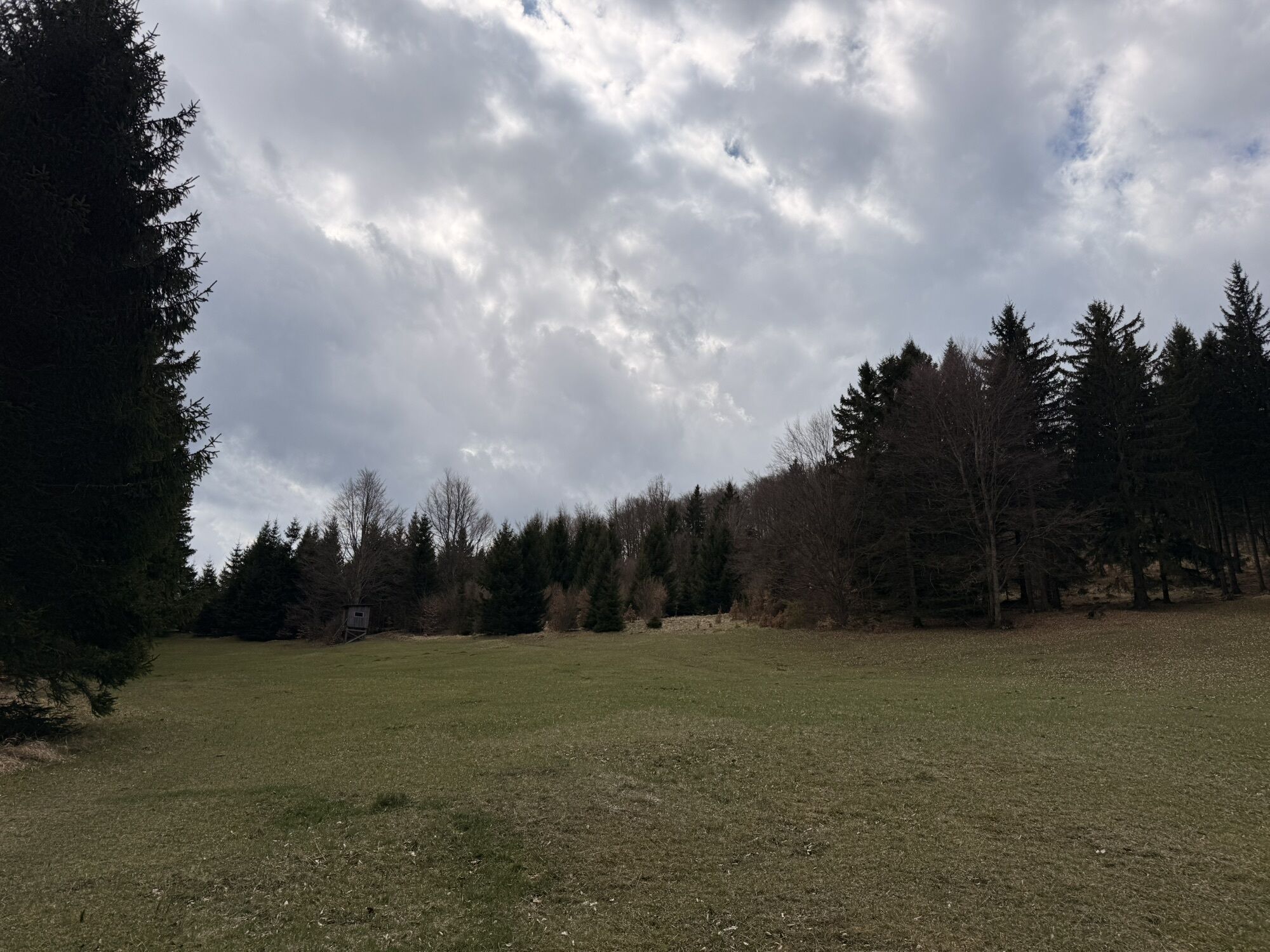
<p>From the car park (information board, signpost, 540 m above sea level) follow the sign "Wanderwelt Steinwandklamm" marked blue up to the upper end of the car park. Hut with information and cash desk (adults 5 €. Children 1.50 €). After the turnstile, follow the gravel path along the slope to the stream and follow it until a bridge leads to the other side in the forest. Continue on a good, flat path to the entrance of the Steinwandklamm, which is reached after 0.7 km (entry fee).</p><p>For 0.6 km, follow the stairs and boardwalks through the gorge, between rock walls, until the gorge ends and the valley becomes somewhat wider again. Attention: in the gorge do not turn left onto the Rudolf Decker trail (=via ferrata A/B), but always follow the stream.</p><p>After the gorge, the blue mark to Türkenloch and Jagasitz branches off on the left, but you continue along the stream following the green mark "Almesbrunnberg". Flat in the ravine through beech forest, you soon pass a "Kneipp pool" and cross the stream. It becomes a bit steeper, and after 0.7 km you reach a wide forest road. Follow this to the right (signpost "Berghäuser, Almesbrunnberg", green), past the so-called Klaushäuser with the rock wall behind it. Following the forest road in two hairpin bends, you soon reach meadows and orchards and the settlement "Berghäuser" at 795 m above sea level. Here, by a fountain, the path splits: the signpost to "Furth and Steinwandgraben" (green) goes straight, to "Almesbrunnberg" turn sharply left here (also marked green!).</p><p>A forest road leads past the last house, ascending into the spruce-larch forest. Past a wooden hut, now in the beech forest a bit steeper over forest roads and paths always following the green mark until you follow a flat forest road 100 m to the left, then up again to the right (green arrow). At a fourfold fork (925 m above sea level), you reach the spruce forests interspersed with meadows. Here you turn left and follow the mostly flat path alternately through spruce forests and over meadows to the southwest. Shortly after the second hunting stand, you reach the highest point of the marked path at the meadow edge (approx. 50 m after the stand). Exactly at the highest point of the hiking trail (995 m above sea level), an unmarked path branches off to the right (new clearcut), which leads uphill westwards towards the summit. You reach a clearcut at whose edge you continue to ascend (path poorly visible). After about 0.45 km and 85 m ascent (from the junction), you reach the summit meadow of Almesbrunnberg with the great Schneeberg view. The highest point (surveying stone) is located on the south edge of the meadow on a rugged ridge.</p><p>The descent follows the summit path back to the marked hiking trail and then basically southeast again along the green mark until the hiking trail leaves the forest road downhill to the left. Constantly descending, you cross a forest road several times until you meet a forest road with signposts at the lower forest edge. This leads in 0.7 km (signpost "Steinwandklamm, Gasthaus Jagasitz") marked yellow, flat across the large meadow to the Jagasitz inn (lastly asphalt road).</p><p>Directly after the inn, turn left downhill (yellow mark) to reach the starting point on a steep gravel road (1.2 km long).</p>
<p>Normal hiking equipment</p>
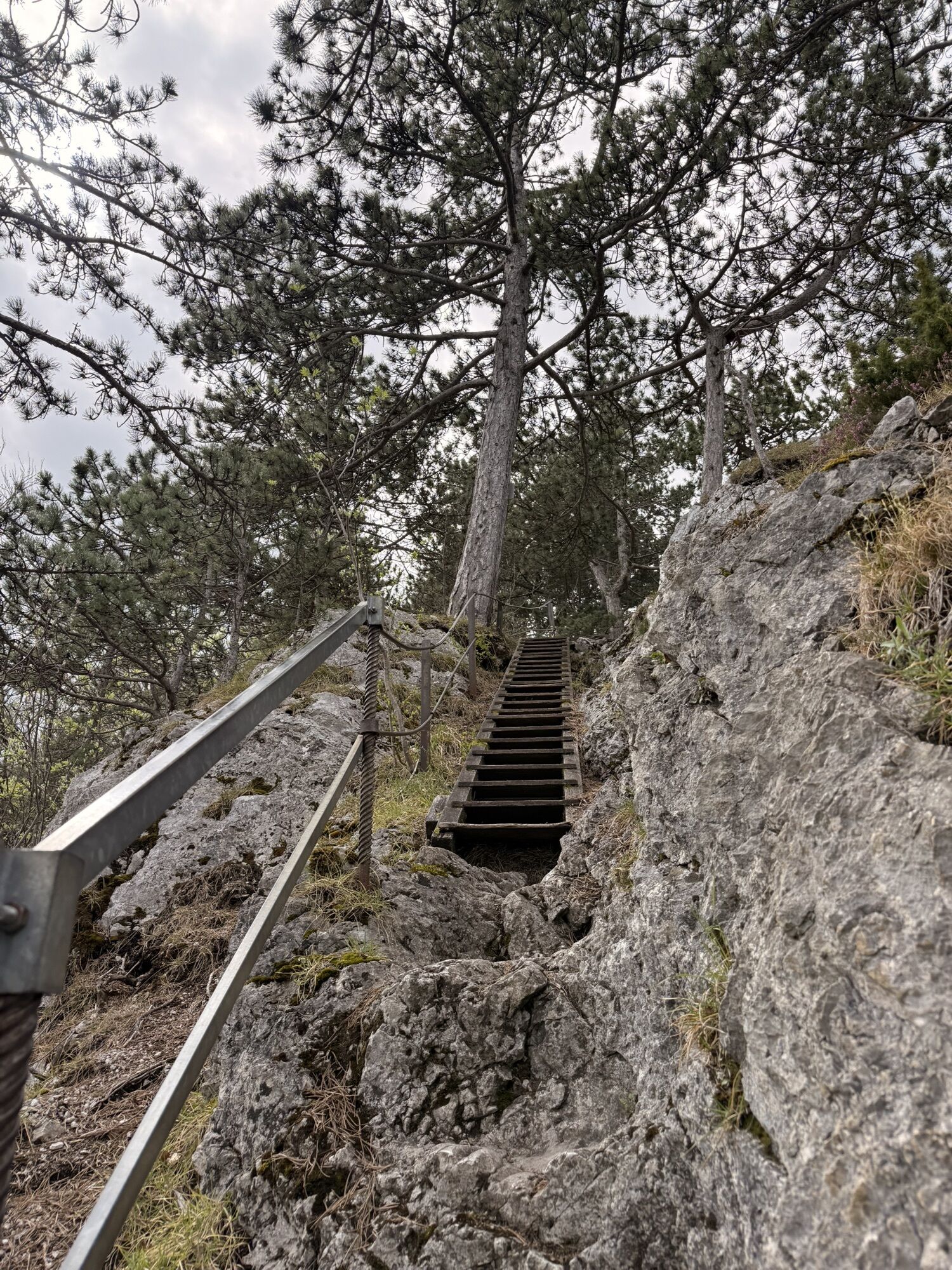
<p>Boardwalks and stairs in the Steinwandklamm, please observe the information boards!</p>
<p>A2 South Motorway exit Leobersdorf, on the Hainfelder federal road B 18 to Weissenbach, turn left onto the main street in Weissenbach and turn left in the village onto Further Straße until Schromenau. Here turn left into Steinwandgraben towards Steinwandklamm. Until the end of the asphalt road.</p>
<p>Car park just after the Reischer snack station (Steinwandgraben 22)</p>
Wienerwald Tourism
3002 Purkersdorf, Hauptplatz 11
Tel. 02231/621 76
Fax 02231/655 10
Leader Region Triestingtal
2560 Berndorf, Leobersdorfer Straße 42
Tel/Fax 02672-87001
office@triestingtal.at
Municipality of Furth an der Triesting
2564 Furth, Furth 2
Tel. 02674-88219
Fax 02674-88392
gemeinde@furth-triesting.at
www.furth-triesting.at
Dejavnosti na poti


Priljubljeni izleti v okolici
-
4.5
Erlebnisweg Peilstein...auf den Spuren der Kletterer
srednjaTematska pot 6 km -
4.8
ÖTK Klettersteig (vormals HTL Klettersteig) und Blutspur (D/E)
težkoVia ferrata 1.41 km -
4.8
Hohe Wand: Babygrat (1+), Rundwanderung und Wagnersteig (A)
težkoPohodništvo 11.8 km -
4.7
Hohe Wand: Grafenbergweg - Große Kanzel - Rastkreuz - Gländ
srednjaPohodništvo 9.03 km -
4.6
Kieneck über Enziansteig & Mareschsteig
svetlobaPohodništvo 13.8 km -
4.6
Grünbach - Eselsteig - Geländ
svetlobaPohodništvo 5.22 km -
4.6
Wienerwald: Maria Raisenmarkt - Peilstein
svetlobaZimsko pohodništvo 6.82 km -
4.6
Panorama hike Hafnerberg
svetlobaPohodništvo 8.78 km -
4.5
Kieneck über den Enziansteig
svetlobaPohodništvo 12.6 km -
4.5
Hohe Wand: Frauenlucke und Völlerin
srednjaPohodništvo 1.90 km
Pohodništvo in sledenje


Ne zamudite ponudb in navdiha za naslednje počitnice
Vaš e-poštni naslov je bil dodan na poštni seznam.





