






Vino-Birdie-Route, No. 64
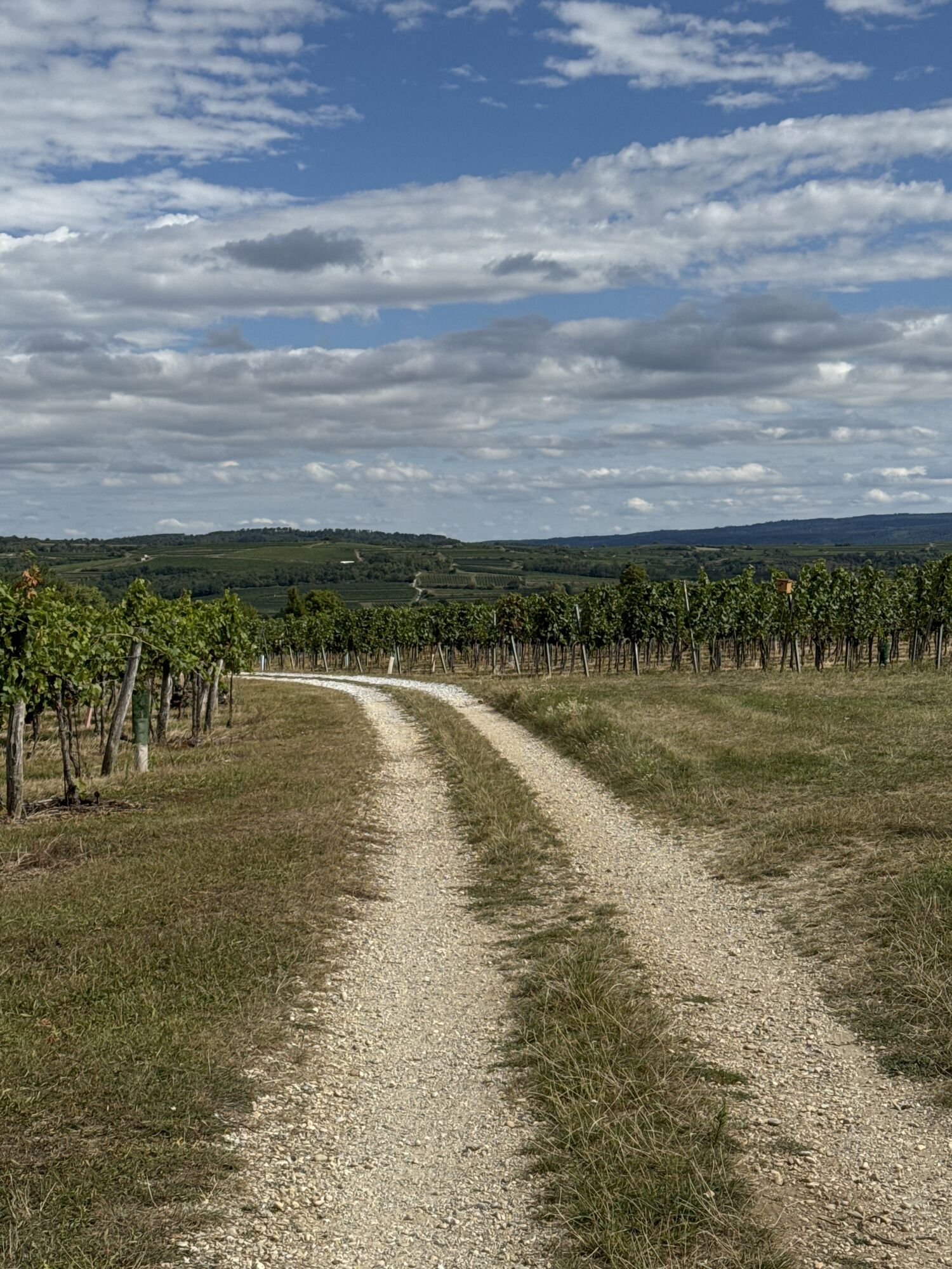
This circular hike leads through the Kühsteingraben cellar lane into the vineyards southwest of Langenlois and to the golf course in Lengenfeld. The route offers beautiful views of the wine town of Langenlois,...
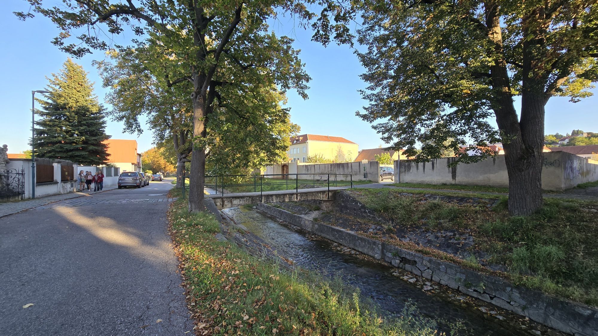
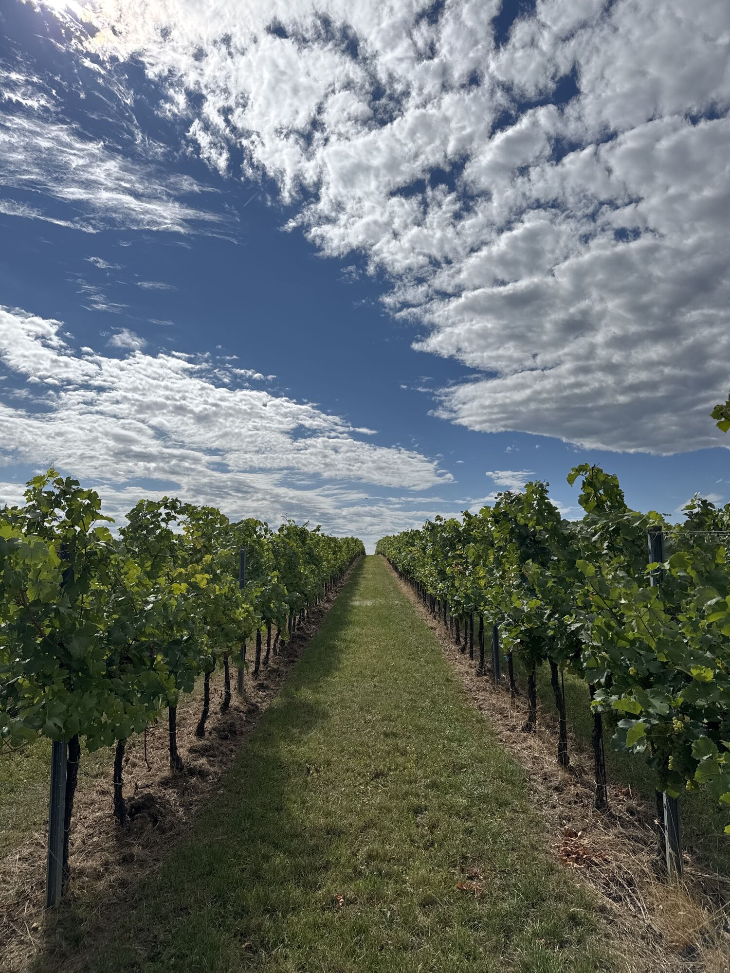
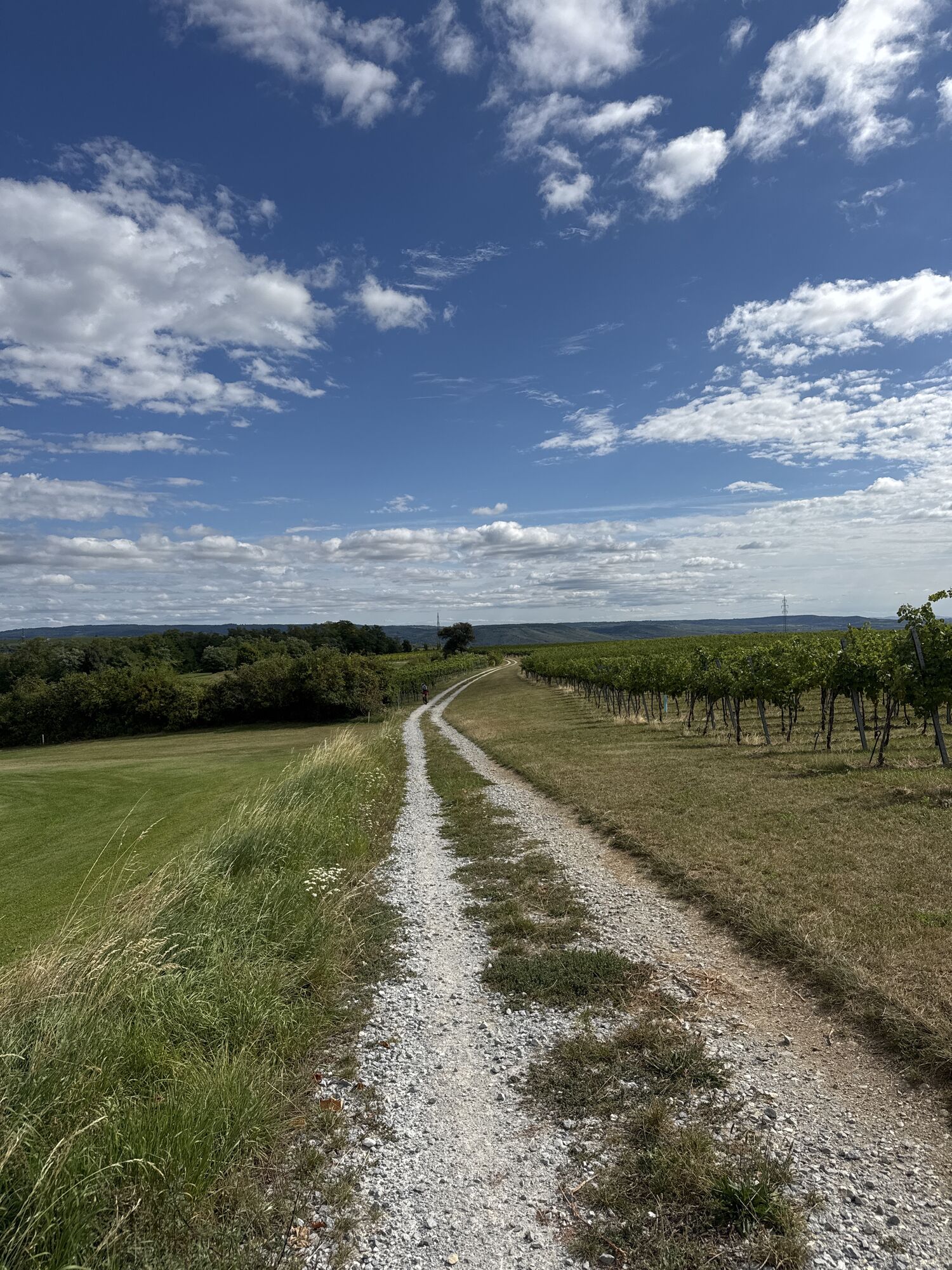
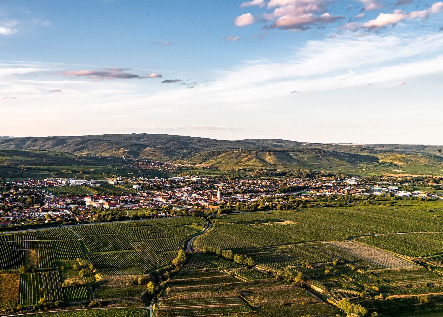
<p>This circular hike leads through the Kühsteingraben cellar lane into the vineyards southwest of Langenlois and to the golf course in Lengenfeld. The route offers beautiful views of the wine town of Langenlois, the golf course, the "Riesling Mountain" Heiligenstein, the wine villages Mittelberg and Lengenfeld, Göttweig Abbey, and over the Wagram to the Tullnerfeld.</p>

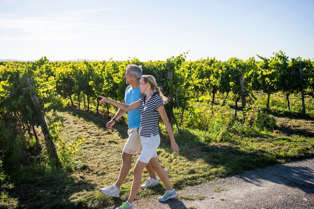
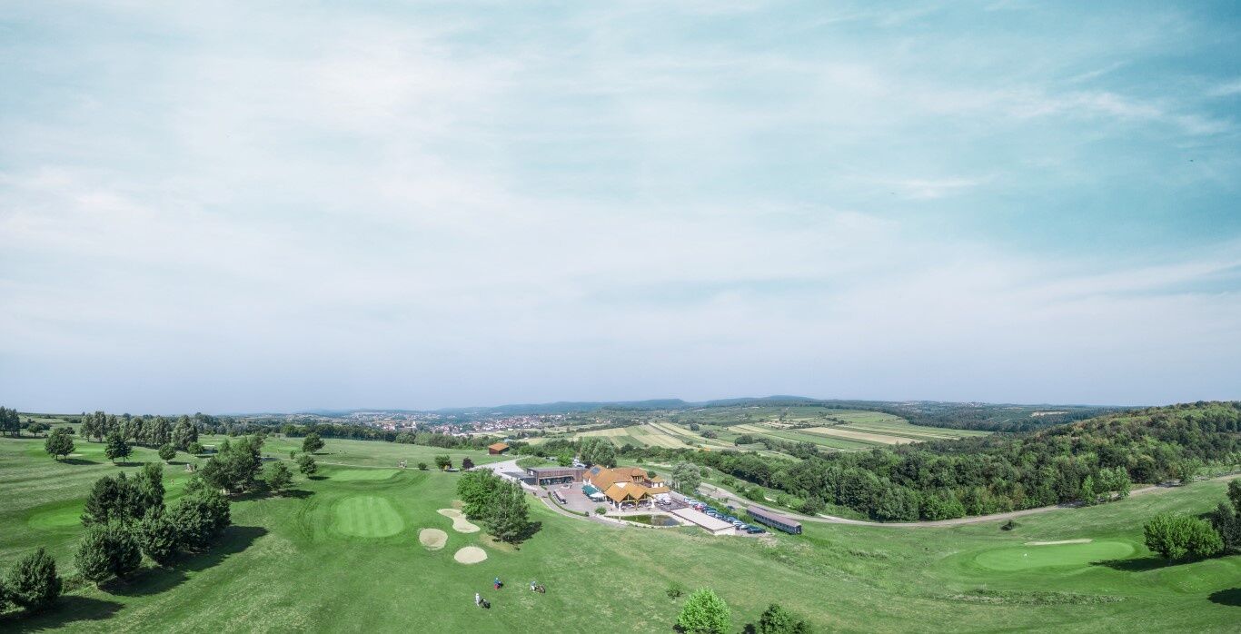
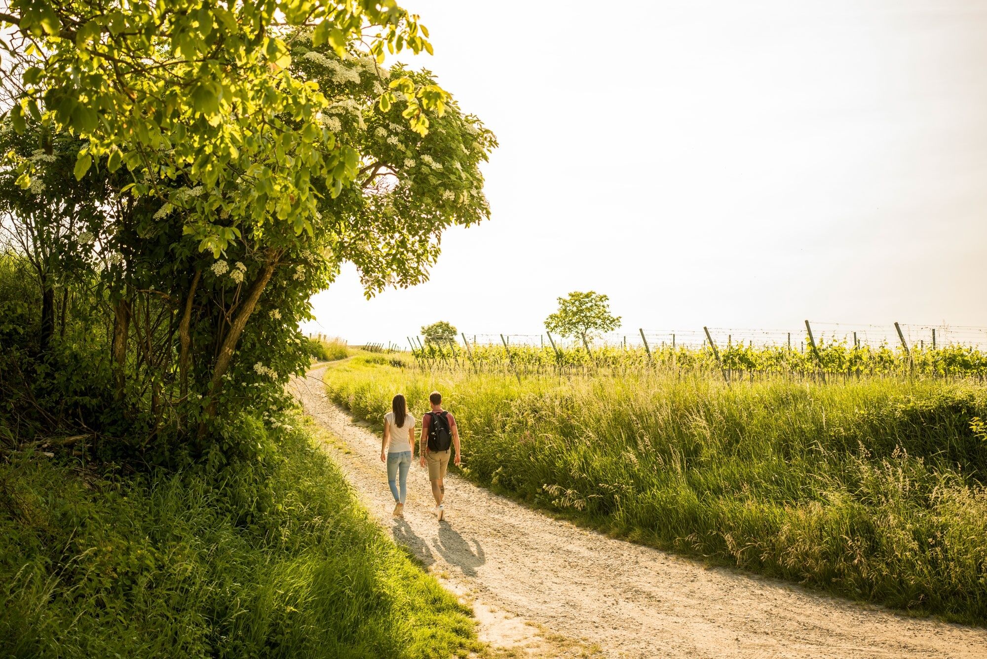

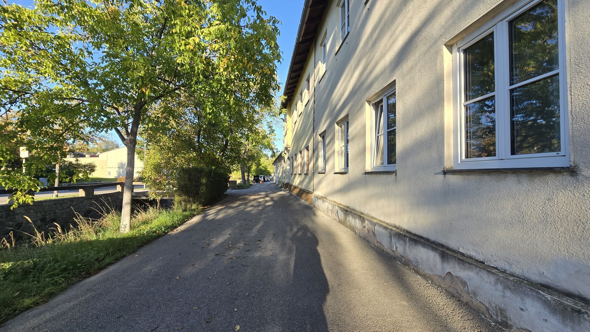
<p>From the roundabout at Kornplatz towards the church and immediately after the bridge over the Loisbach, turn right. Follow the Loisbach – once on the left, once on the right bank – for nearly 2 km. At the end of the garden row (after the Nastl Heuriger), turn left and follow the Kühsteingraben cellar lane uphill for 500 m. After the last cellar buildings, continue straight on the gravel path for 1 km and turn left at the junction.</p><p>Now it goes uphill and continues along the golf course. At the junction (at the walnut tree) turn left and at the next junction (at the Materl) go straight ahead. Follow the asphalt road first flat, then slightly downhill for about 5 km.</p><p>At the junction "Riede Kittmannsberg" keep right and at the next junction turn left. Follow the road straight ahead for about 700 m. At the fork (at the walnut tree) keep right and follow the path downhill. At the next junction turn right and continue downhill along the Presslgraben cellar lane. At the junction Presslgraben / garden row turn right and follow the Loisbach for about 1.5 km back to the center of Langenlois and to the starting point.</p>
<p>From Vienna: Donauuferautobahn A22 towards Stockerau, continue on the S5 towards Krems to the exit Fels am Wagram and on the B34 to Langenlois.</p><p>From the west: Westautobahn A1 towards Vienna to St. Pölten, continue on the S33 and B37 to Krems and on the B218 to Langenlois.</p>
<p>Regular regional train connections between Langenlois and Hadersdorf (connection to Vienna), Krems, as well as the Kamptal (<a href="fahrplan.oebb.at/webapp/).</p>
<p>Parking lot P1 center on Walterstraße or parking lot P2 center on Kamptalstraße</p>
Ursin Haus Vinothek & Tourism Service GmbH
3550 Langenlois, Kamptalstraße 3
(T) +43 2734 2000
(E) info@ursinhaus.at
(I) www.langenlois.at
Waldviertel Tourism
3910 Zwettl, Sparkassenplatz 1/2/2
(T) +43 2822 54109
(E) info@waldviertel.at
(I) www.waldviertel.at
To end the route, stop at a Heuriger – for example in the Presslgraben or Kühsteingraben cellar lanes.
Pridobite vpogled
Vedno v živo na mestu z več kot 9.500 spletnimi kamerami. bergfex Kot uporabnik Pro si lahko zdaj ogledate ustrezne spletne kamere za številne izlete v aplikaciji izleti iz. Tako si lahko neposredno ogledate trenutne razmere.
Priljubljeni izleti v okolici
-
4.6
Welterbesteig Wachau 02: Dürnstein-Weißenkirchen
svetlobaPohodništvo v daljavo 15.9 km -
4.6
Welterbesteig Wachau 01: Krems-Dürnstein
svetlobaPohodništvo v daljavo 12.3 km -
4.8
Vogelbergsteig -Kanzel- Fesselhütte - Ruine Dürnstein zum Heurigen in Furth
srednjaPohodništvo 7.59 km -
4.7
Wachau: Seekopf - Hirschwand
srednjaPohodništvo 10.4 km -
4.7
Rundhöhenwanderweg Weißenkirchen in der Wachau - Schildhütten - Cholerakreuz - Weißenkirchen
svetlobaPohodništvo 8.75 km -
4.6
Krems (Welterbesteig) - Dürnstein - Vogelbergsteig - Kanzel - Fesslhütte - Krems
srednjaPohodništvo 18.0 km -
4.5
Panoramaweg Weissenkirchen
svetlobaPohodništvo 5.04 km -
4.4
Wachauer Marillenerlebnisweg, Krems-Angern
svetlobaPohodništvo 6.04 km -
4.7
Wine and Water Round to the Kamptalwarte on Heiligenstein, no. 65
srednjaPohodništvo 9.93 km -
4.8
Wachau: Panoramaweg Rossatz
svetlobaPohodništvo 10.8 km
Pohodništvo in sledenje


Ne zamudite ponudb in navdiha za naslednje počitnice
Vaš e-poštni naslov je bil dodan na poštni seznam.





