







Lichtbergweg

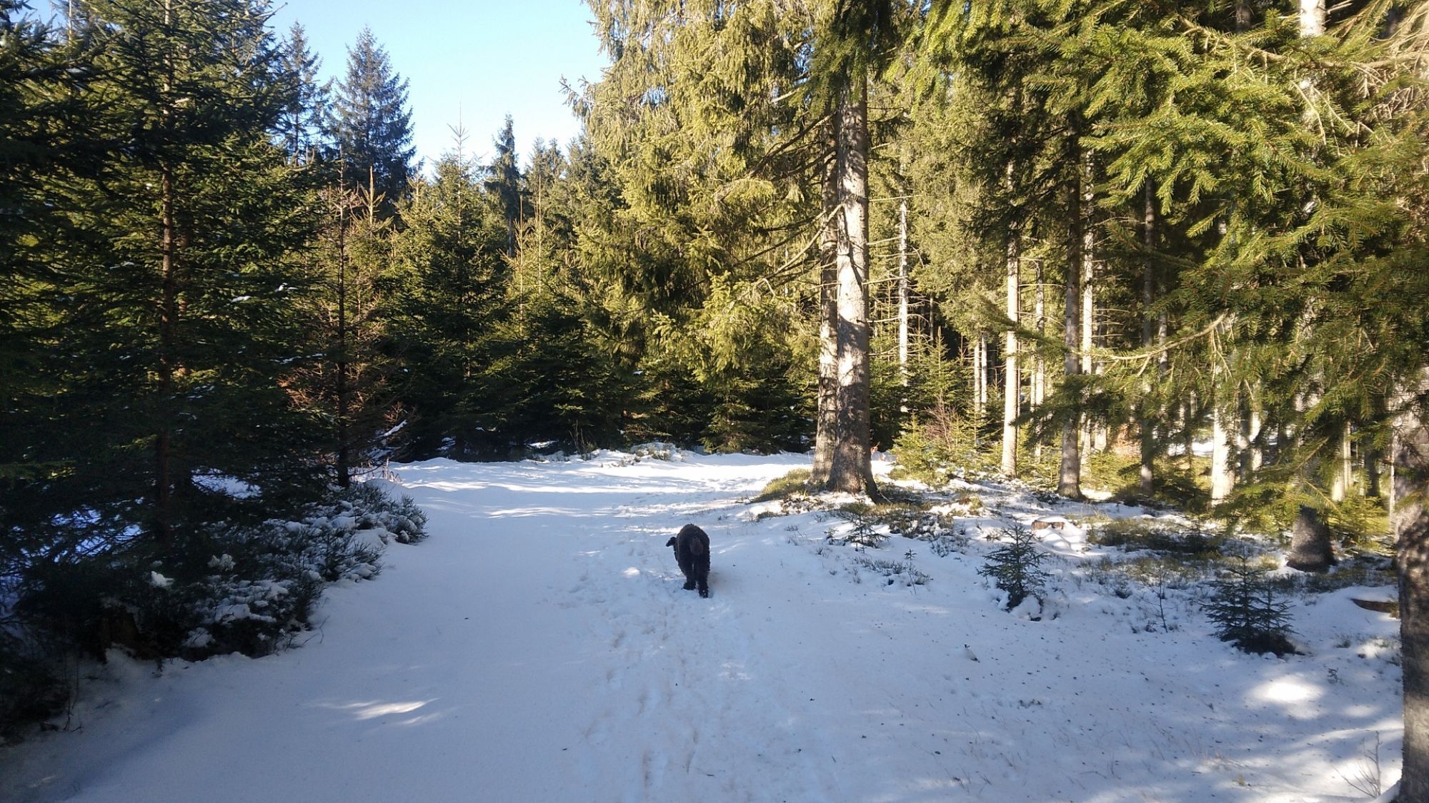

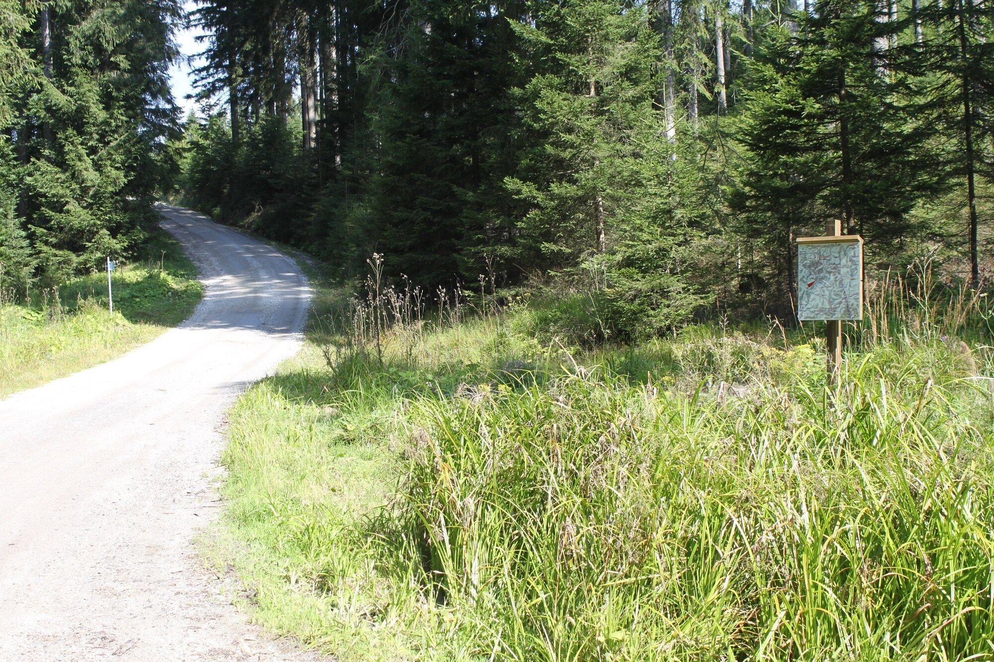
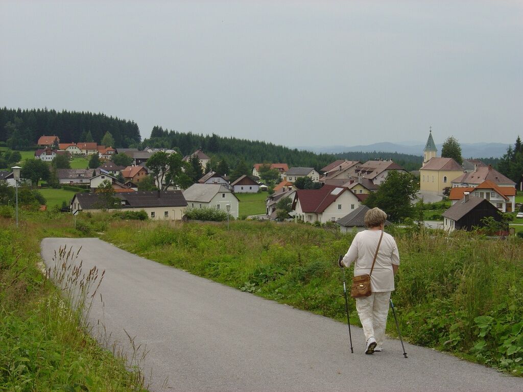
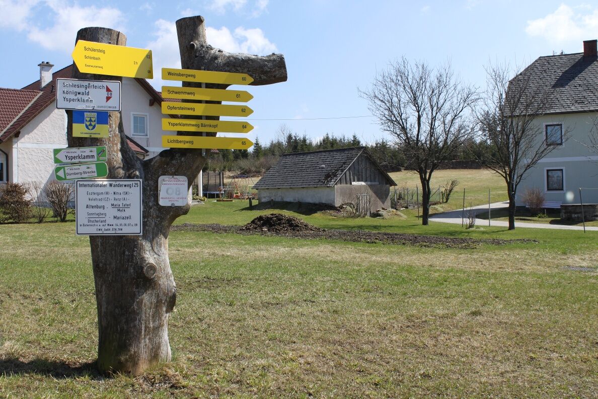
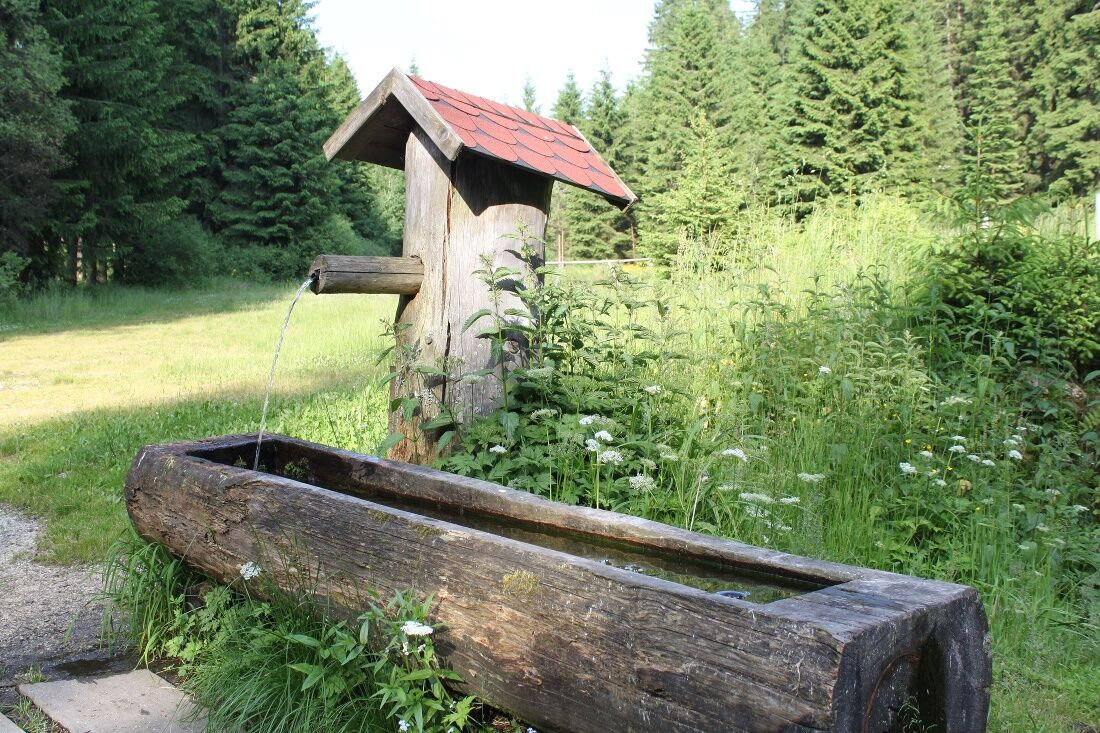
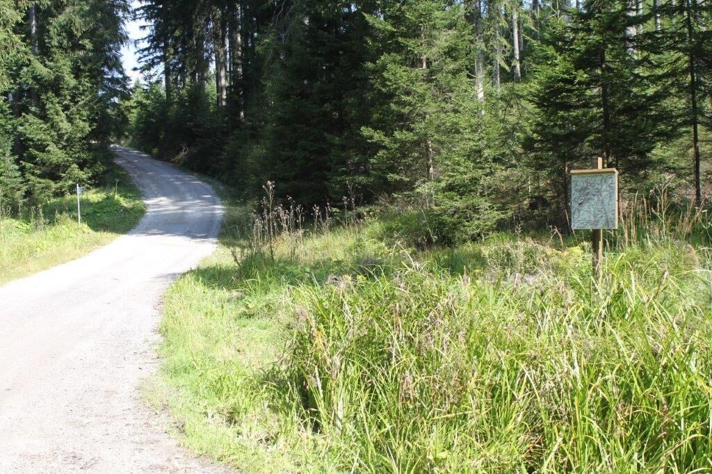
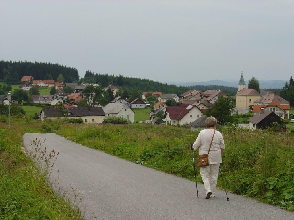
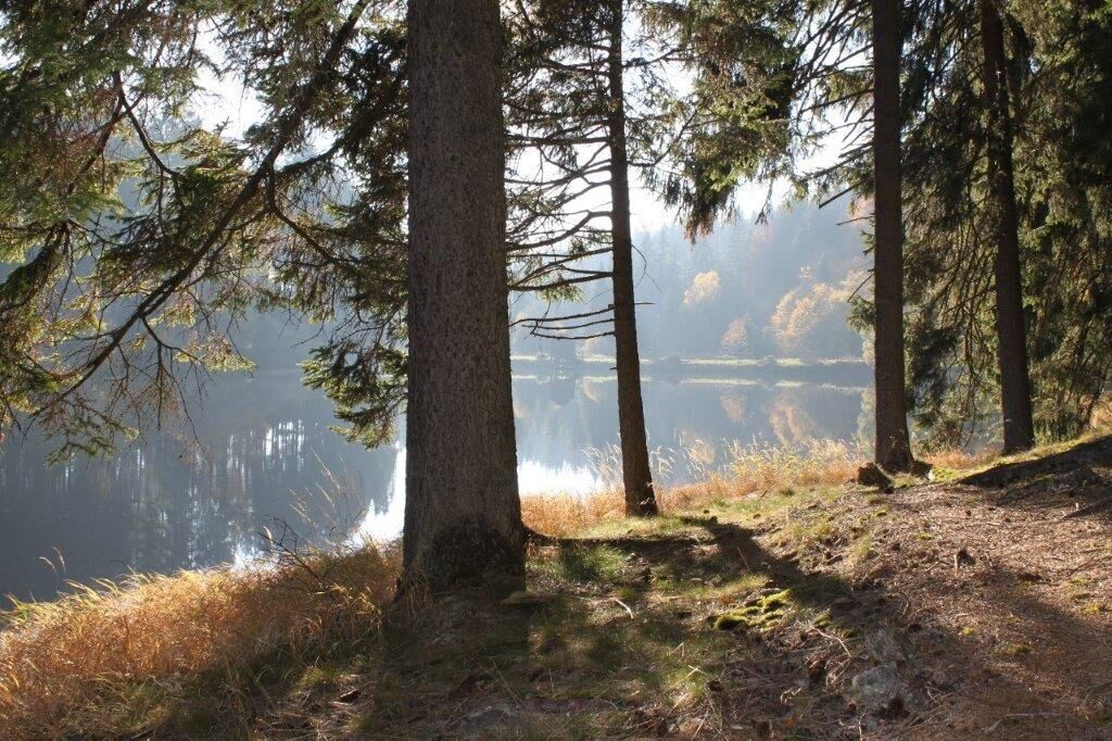

<p>At the "Marking Tree" all paths branch off from the village road heading south. At a junction with the overview boards, go straight downhill. Soon you will see the water surface of the Schlesingerteich. Passing the campsite – here there is a fountain and a toilet – the hike continues on a forest road. Just before the Pfaffenstegteich, turn left. After about 200 meters, the path leads uphill to the right. At the altitude mark "969 meters", head northeast over the Dreiblöchlberg (1,000 m) – here the Weinsbergweg crosses. You cross the state road, come to the route of the former forest railway (1919 to 1932), and head west back to Bärnkopf.</p>
<p>Sturdy footwear, functional clothing, sun and rain protection, map material, optionally telescopic poles, first aid kit (blister plasters), sufficient provisions (snack, muesli bars, fruit, water).</p>
<p>Make sure when choosing your route that it matches your fitness level. Check whether the catering businesses you want to visit along the way are open. Pack your charged mobile phone and map material in your backpack. For cross-border routes, always carry a passport or identity card.</p>
<p>A1 - West Motorway; exit Melk - Danube Bridge - Danube Riverside Road - Pöggstall - Martinsberg - Bärnkopf</p>
<p>By train to Ybbs Persenbeug, then by regional bus 780 to Martinsberg Pitzeichen, here change to regional bus 733 to Bärnkopf.</p><p><a href="www.vor.at">www.vor.at</a&...
<p>Free parking at the woodcutter museum, at the municipality, and at the church</p>
Municipality of Bärnkopf
3665 Bärnkopf No. 103
(T) +43 2874 82 12
(E) gemeinde@baernkopf.gv.at
(I) www.baernkopf.gv.at
Bärnkopf Tourist Office
3665 Bärnkopf 114
(T) +43 28748401
(I) www.baernkopf.gv.at
Waldviertel Tourism
3910 Zwettl, Sparkassenplatz 1/2/2
(T) +43 2822 54109
(E) info@waldviertel.at
(I) www.waldviertel.at
In summer, countless blueberry bushes can be found along the route.


Priljubljeni izleti v okolici
-
4.0
Yspertal: Druidenweg - Ysperklamm
srednjaPohodništvo 9.56 km -
4.7
Waldhausen: Outlook circuit
srednjaPohodništvo 14.0 km -
4.6
Ausgedehnte Peilsteinrunde
srednjaPohodništvo 13.7 km -
4.9
LAIMBACH Ostrong Peilstein 20220716
srednjaPohodništvo 7.70 km -
4.6
Herzsteinweg Ysper und Burgsteinmauer
srednjaPohodništvo 14.7 km -
4.0
Burgstall-Wanderweg Nr. 3
srednjaPohodništvo 11.8 km -
4.8
Ysperklamm
srednjaPohodništvo 8.74 km -
4.6
R1.15 Three Saddle Round
srednjaKolesarjenje 26.2 km -
3.8
Bärnkopf Ysperklammstrecke
težkoMountainbike 31.0 km -
4.7
Höllfall und Lohnbachfall
Pohodništvo 13.8 km
Pohodništvo in sledenje


Ne zamudite ponudb in navdiha za naslednje počitnice
Vaš e-poštni naslov je bil dodan na poštni seznam.





